 Block
BlockFrom the record
8 National Register listings published here.
Sources: the National Register database, National Park Service
58 topographic sheets cover 32 settlements here, and 8 properties are on the National Register of Historic Places.
8 National Register listings published here.
Sources: the National Register database, National Park Service
Every property in this county listed on the National Register of Historic Places, with the year it was listed and the federal nomination document.
| Photograph | Property | Type | Listed | Reference |
|---|---|---|---|---|
 | E.P. and Alice Bomar House | building | 2004 | 04000099 |
 | Cloud-Stark House | building | 1982 | 82004498 |
 | Cooke County Courthouse | building | 1991 | 91000336 |
 | William and Anna Davis House | building | 1984 | 84001633 |
| Nelson Farmstead | district | 2007 | 07000270 | |
 | Santa Fe Passenger Depot | building | 1983 | 83003757 |
 | St. Peter's Roman Catholic Church | building | 1979 | 79002927 |
 | Thomason-Scott House | building | 1980 | 80004086 |
Drawn when these were printed as single large sheets: the town seen from the air, and the county divided into its farms with every owner named. Each opens the original at the Library of Congress.

Selected from the Digital Public Library of America's 7 image records catalogued for this county. Every one shown here carries a public-domain status or a licence that permits reuse on a site that carries advertising; non-commercial, share-alike and restricted images are excluded. The selection is spread across the county's towns (at most eight per town), so no single institution's bulk upload crowds out the rest. Each opens the holding library's record, and the complete set at the Digital Public Library of America is one click away.







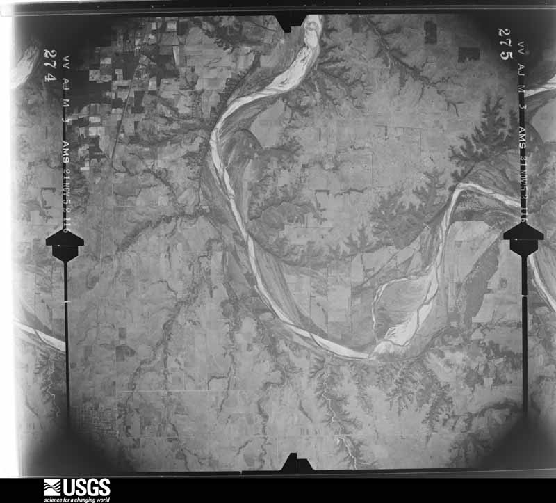
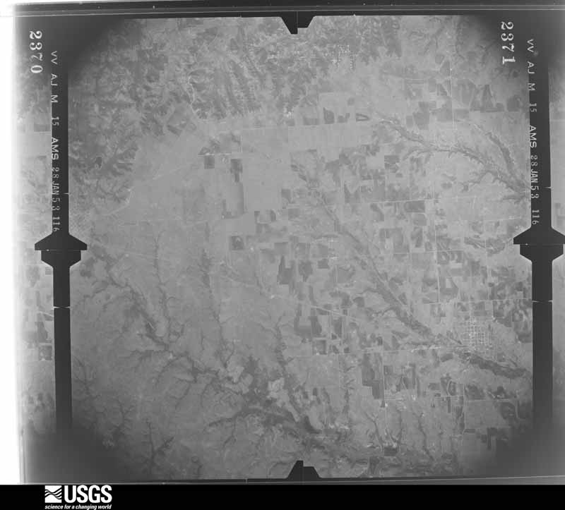
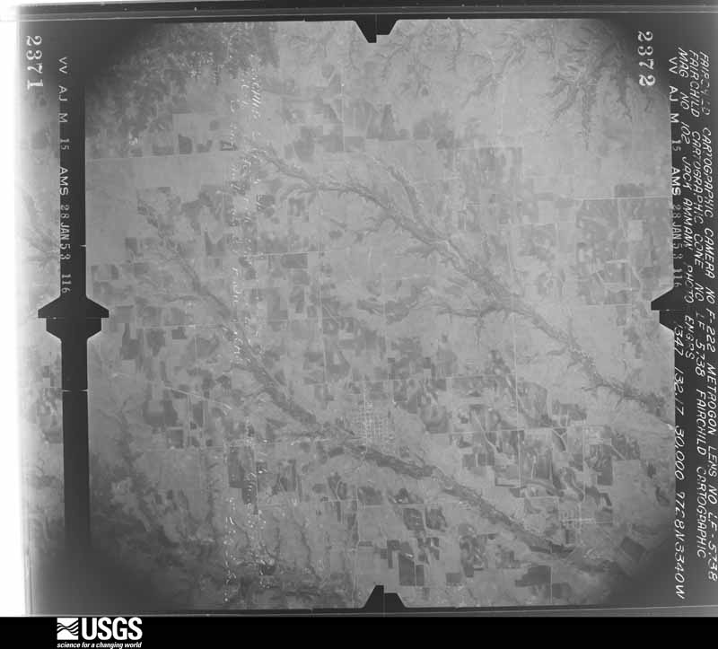
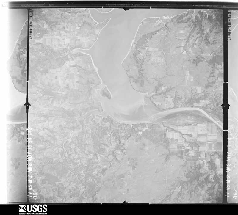
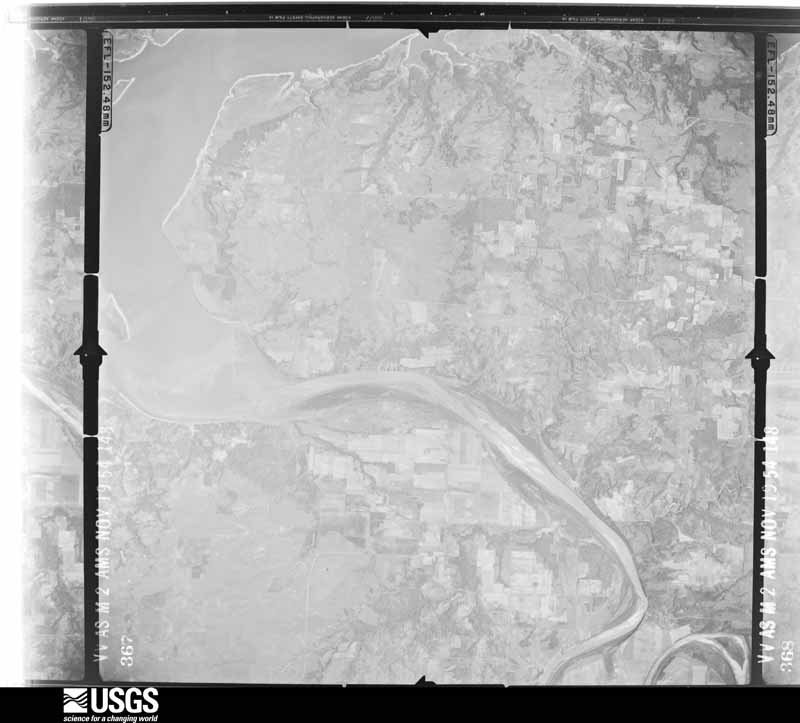
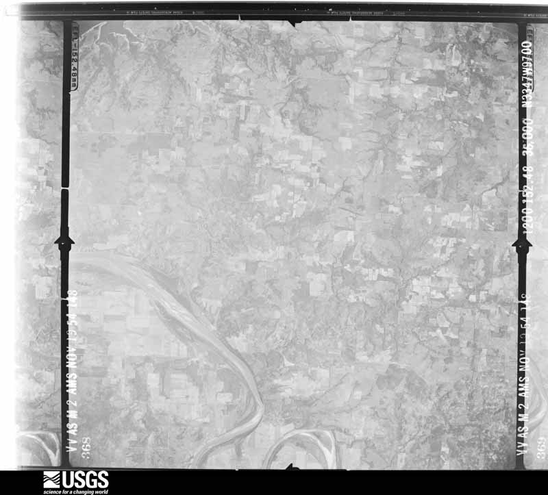
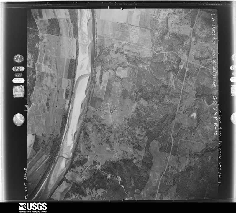
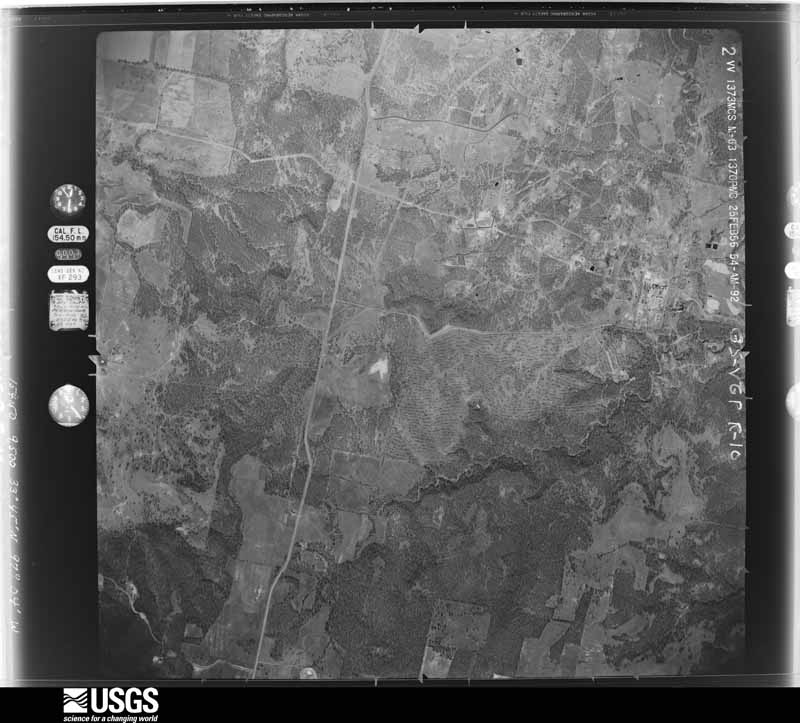
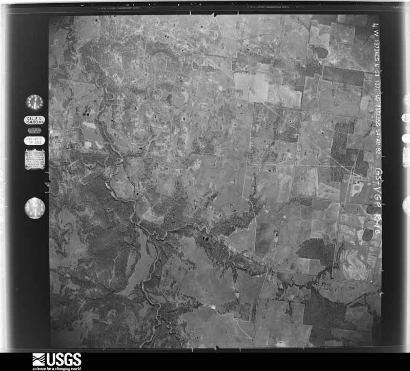
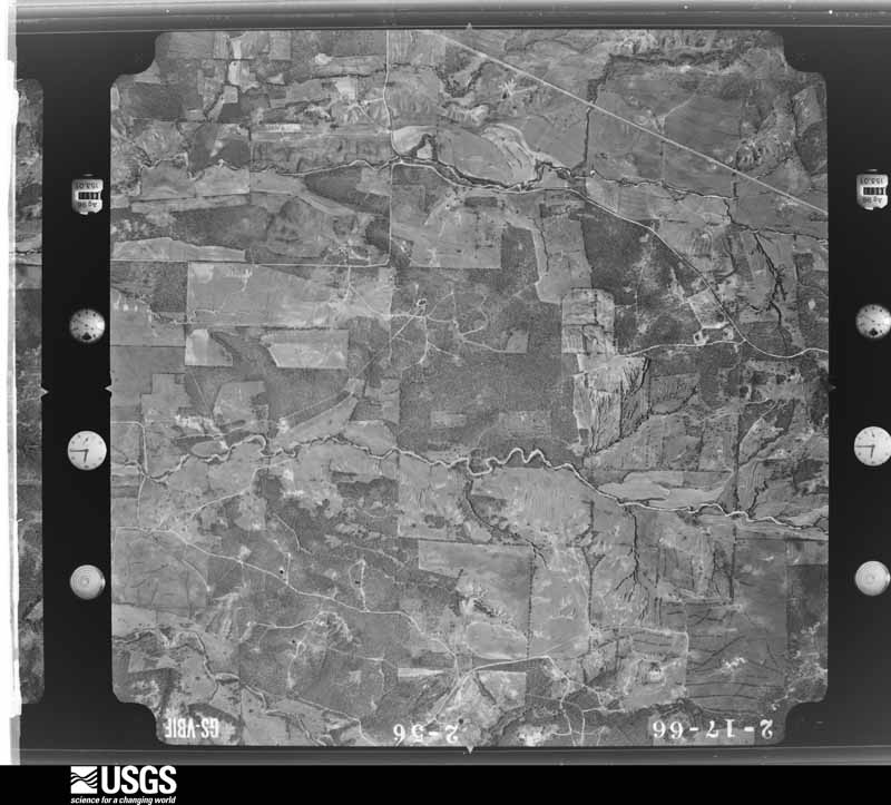
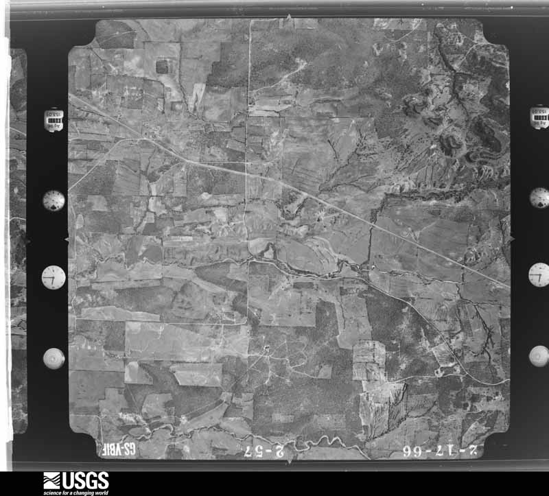
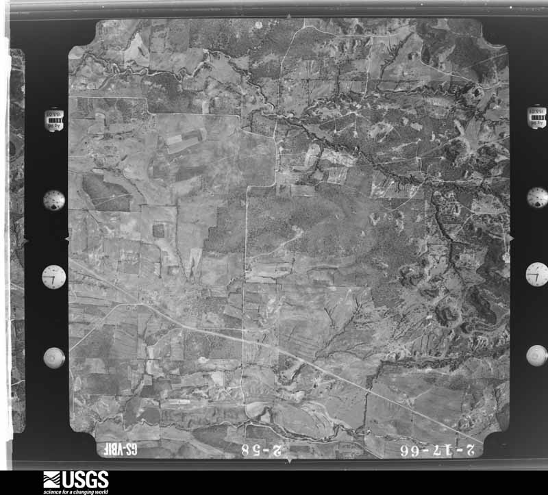
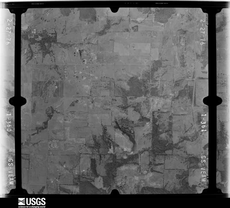
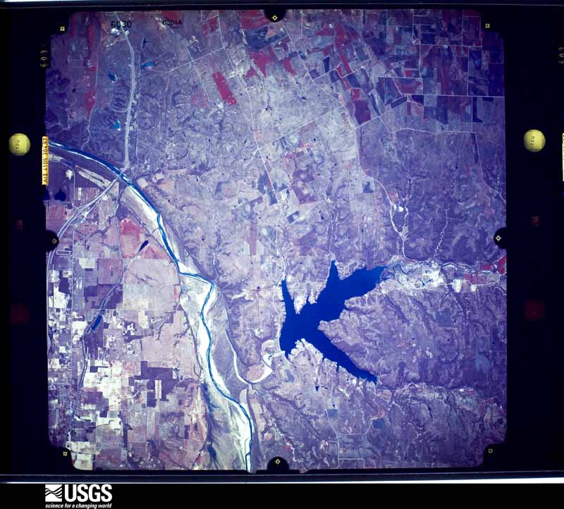
Flown by the U.S. Geological Survey between 1937 and 1989, the Aerial Photo Single Frames collection is the definitive mid-century view of the land: fields, roads and rivers as the camera saw them. The Survey holds 810 frames inside the rectangle that bounds this county; the 31 frames below were taken over the county itself, chosen across the decades of flights (at most four a year from that rectangle), so one flight cannot crowd out the rest. The full set is free to browse and download at EarthExplorer under the dataset Aerial Photo Single Frames.





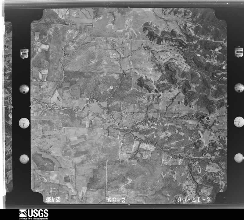





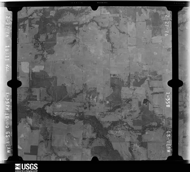
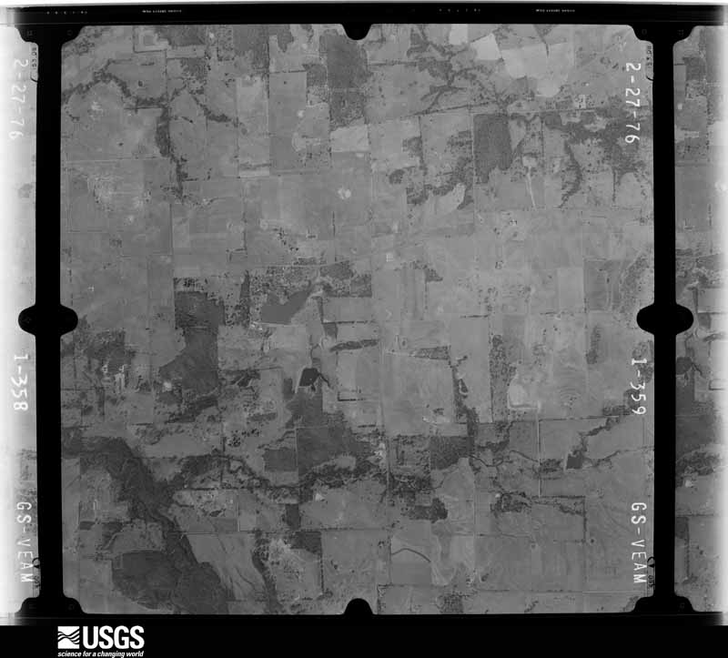
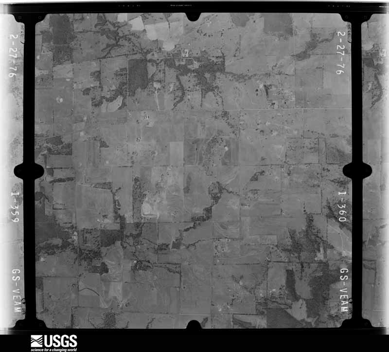



The thermometers that kept this county's weather, and the gages that measured the flow of its streams, as the federal records hold them. The extremes below are measured values from those records, not estimates.
Who lived here in 1950, one enumeration district at a time, as the Census Bureau described each district. Each row opens its official National Archives result, with Population Schedules and ED Maps available there.
Every wildfire the federal occurrence database records inside this county: 1,549 of them, burning about 23,008 acres. 57 started naturally and 40 were recorded as arson. Each settlement page carries the fires within five miles of it.
| Reported cause | Fires |
|---|---|
| Debris and open burning | 527 |
| Missing data/not specified/undetermined | 494 |
| Equipment and vehicle use | 308 |
| Power generation/transmission/distribution | 64 |
| Natural | 57 |
| Arson/incendiarism | 40 |
| Smoking | 32 |
| Misuse of fire by a minor | 13 |
| Recreation and ceremony | 12 |
| Railroad operations and maintenance | 2 |
The five largest, by the area the report gives. None of them was recorded as arson.
| Date | Cause | Size | Reported by | Name on the report |
|---|---|---|---|---|
| 27 December 2005 | Missing data/not specified/undetermined | 5,600 acres | Texas A & M Forest Service | WALNUT BEND |
| 9 April 2009 | Missing data/not specified/undetermined | 1,000 acres | Texas A & M Forest Service | CROSSEN RANCH FIRE |
| 8 July 2009 | Missing data/not specified/undetermined | 800 acres | Texas A & M Forest Service | FM 2382 |
| 29 November 2005 | Missing data/not specified/undetermined | 775 acres | Texas A & M Forest Service | EDWARDS COMPLEX / WAGNER RANCH |
| 9 April 2009 | Missing data/not specified/undetermined | 600 acres | Texas A & M Forest Service | CR 459 |
| 30 January 2008 | Equipment and vehicle use | 530 acres | Texas A & M Forest Service | CALISBURG NORTH BRANCH - 11 |
| 28 November 2005 | Missing data/not specified/undetermined | 500 acres | Texas A & M Forest Service | not named |
| 29 November 2014 | Missing data/not specified/undetermined | 400 acres | Texas A & M Forest Service | 1025 HOCKLEY CREEK GRASS FIRE |
Every settlement page carries the fires within five miles of it - see the settlement index below.
The NOAA Storm Events Database holds 720 reports for this county, causing 11 deaths, 114 injuries and about $111,287,310 in recorded property damage. Each settlement page carries the reports that name it.
| Kind of event | Reports |
|---|---|
| Hail | 357 |
| Thunderstorm Wind | 218 |
| Flash Flood | 66 |
| Tornado | 62 |
| Flood | 9 |
| Lightning | 8 |
The most serious of them, by death, then injury, then recorded damage. The accounts are quoted exactly as the forecast office filed them.
| When | Event | Place named | Harm | What the report says |
|---|---|---|---|---|
| May 2024 | Tornado (EF3) | Prairie Pt | 7 killed, 80 hurt, $15,000,000 | This is segment #2 of 4 of a multi-segmented EF-3 supercellular tornado that began in Montague County, crossed into Cooke County, Denton County, and then back into Cooke County. The tornado was ongoing for about an hour and a half with a total path length just under 48 miles. The tornado was the strongest in Cooke County and resulted in 7 fatalities in Cooke County. ||The tornado entered Cooke County at 1008 pm CDT time and exited into Denton County at 1049 pm CDT for a total path length of 25.41 miles. The tornado path zigzagged at times. The maximum width of the damage path is measured at over a mile in the area west of Valley View; however this is misleading. We do not believe the tornado was over a mile wide, but instead there were a few smaller circulations rotating around the main tornado circulation which was likely a maximum width of about 1200 yards (.68 miles wide). The tornado entered west of the Rosston area and moved eastward to areas south of Era. Widespread tree damage, consistent with EF-0 tornado intensities, occurred between Rosston to southwest of Era. In the vicinity of FM 51 south of Era, the intensity of damage increased, with widespread tree and structural damage consistent with EF-1 winds of 90-110 mph . Some damage to at least 3 residences southeast of Era (and west of Valley View) was consistent with EF-2 tornadic winds of 115-125 mph (DI 2, DOD 6).The tornado maintained intensity as it approached Valley View from the west. Along CR 200, the upper levels and roofs of several newly constructed homes were damaged or demolished. In addition, a few walls were pushed in on the backside of the homes (west side, DI 2, DOD 6) In this area, the tornado was rated EF-3 with maximum estimated winds of 140 mph. The tornado entered a neighborhood along W Lone Oak Rd which consisted of mainly manufactured and mobile homes. Widespread damage occurred in this neighborhood, and a few demolished homes were rated EF-2 (DI 3, DOD 6). Unfortunately, 7 fatalities occurred here, too. The tornado continued east, crossing I-35, damaging cars and tractor trailers on the interstate. The tornado hit a gas station (DI 8, DOD 7), metal building shop, RV and boat storage units on the corner of Lone Oak Rd and I-35. This area was rated EF-2 with estimated winds of 135 mph. The tornado tracked near and south of E Lone Oak Rd towards Ray Roberts Lake where more roof damage and notable tree damage was observed. The tornado crossed the lake, causing more tree damage and pushing over some campers on the peninsula that includes Ray Roberts Lake State Park Johnson Branch. This is where the tornado entered Denton County. In total, 80 people in Cooke County had to be transported due to injuries. There were likely more that sustained minor injures that weren't transported or accounted for. The highest damage rating in this portion of Cooke County was EF-3 with maximum sustained winds of 140 mph. |
| June 2007 | Flash Flood | Valley View | 3 killed, $28,000,000 | Significant flooding occurred in the central portions of the county with numerous high water rescues required. People were forced to cut holes in their roofs in order to escape floodwaters in Gainesville, and several mobile homes were damaged. A mobile home along Pecan Creek was thrown into the floodwaters and came to stop only when it hit a bridge. Four family members were dumped into the creek and three of them drowned. Interstate 35 service roads and the northbound lane were flooded near Valley View. Interstate 35 had to be closed between Highway 82 and the Oklahoma border just north of Gainesville. Water was 2-3 feet deep over streets in Lindsay. A total of 300 homes and 75 businesses suffered water damage across the county, and 37,000 acres of crops were destroyed. The mayor estimated damages around $28 million, and the governor issued a disaster declaration for the county. |
| May 2015 | Flash Flood | Reed | 1 killed, $120,000 | A 36 year old man died when his vehicle was swept away by flood waters three-quarters of a mile south of Spring Creek Road, north of Valley View, TX. A little while later, Interstate 35 north of Valley View had to be closed due to high water. Several vehicles had stalled in the high water on the interstate. |
| March 1959 | Tornado (F3) | not stated | 16 hurt, $2,500,000 | no account filed |
| April 1994 | Tornado (F2) | Gainesville to 8 NE G | 8 hurt, $50,000,000 | A tornado touched down approximately eight miles southwest of Gainesville, then moved northeast through the western and northern parts of Gainesville, then east-northeast to near Callisburg before lifting. The tornado moved through at least one house subdivision and two mobile home parks. Seventy homes were damaged, 15 mobile homes destroyed, and 52 mobile homes were damaged. Severe damage was done to a multi-story apartment complex, and 14 businesses were damaged. Several cars and trucks were flipped over as the tornado crossed Interstate 35. Near Callisburg, the Callisburg High School was damaged, a mobile home was unroofed, a house was destroyed, and trees were blown down across county roads. Total damage was estimated at over 7 million dollars. Muenster,26,1445CST,,,0,0,0,0,Hail (1.75) 2 W Gainesville,26,1450CST,1,100,0,0,5,0,Tornado (F0) A tornado touched down between Lindsay and Gainesville just south of Highway 82, crossing Highway 82 just south of the Municipal Airport before lifting. There were numerous reports of trees and power lines downed across city streets, and damage was done to two barns and a truck. |
| May 2015 | Flash Flood | Valley View | 4 hurt, $500,000 | Emergency management reported that flood waters damaged railroad tracks in Valley View, TX, causing two locomotives and many train cars to derail around 130 AM. Four workers went into the water and sustained minor injuries. They were transported to Denton Regional Medical Center where they were treated and released. |
| March 1975 | Tornado (F2) | not stated | 2 hurt, $25,000 | no account filed |
| April 1984 | Hail | not stated | 2 hurt | no account filed |
| October 1974 | Tornado (F2) | not stated | 1 hurt, $250,000 | no account filed |
| June 2011 | Thunderstorm Wind | Windsor | 1 hurt, $20,000 | Multiple trees were blown down due to high thunderstorm winds 2 miles east of Gainesville. One tree fell on a home and resulted in one minor injury to the occupant of the house. |
| April 2003 | Hail | Gainesville | $4,000,000 | Large hail damaged approximately 1,000 cars and about the same number of homes. |
| April 2009 | Flood | Bulcher | $2,000,000 | Widespread flooding continued through the night across the county with several roads and bridges under water and several areas inaccessible. High water rescues and evacuations continued in Gainesville and parts of Interstate 35 South were still closed due to water over the road. Rainfall totals were as high as 11 inches. Approximately 35 homes and 15 businesses were damaged by flooding in Gainesville. Homes and businesses along Pecan Creek in Gainesville suffered major damage. The water was 1-2 feet deep around the creek. A total of 10 swift water rescues were needed during the event. The Moss Lake area also received significant damage to boats, docks, and boathouses. |
| June 2011 | Thunderstorm Wind | Muenster | $1,200,000 | A significant microburst occurred in the city of Muenster. Numerous trees were uprooted across the city, the field house of a school was damaged, a church sustained substantial damage, several roofs were torn off homes, mobile homes suffered significant damage, and tombstones at the local cemetery were blown over and crushed. The most costly damage occurred to two grain silos. Along Main Street, many businesses were heavily damaged and the windows were blown out of Orr Construction. The damage across the city was estimated to total over 1 million dollars. |
| July 2014 | Flash Flood | Valley View | $1,000,000 | Very heavy rainfall resulted in significant flash flooding across the southern portions of Cooke County. Up to 10 inches of rain fell in the area. The town of Valley View was significantly affected by the flooding. Interstate 35 was shut down from the Denton County line north to mile marker 491. The water was 5-6 feet deep on the frontage road in some locations. One gas station along I-35 in Valley View had standing water in the convenience store. The interstate reopened between 8-9 am CDT. Numerous cars, trucks, and semis were stranded in the area; including along Interstate 35. The emergency manager estimated 20-30 vehicles were pulled from high water. Numerous high water rescues were conducted. |
| May 1995 | Tornado (F3) | Saint Jo-Bulcher | $600,000 | The Montague County tornado continued moving northeast into Cooke County three miles northeast of Saint Jo, then across northwest Cooke County to near Bulcher before dissipating. The tornado heavily damaged or destroyed seven homes, damaged or destroyed numerous barns, outbuildings, telephone and power lines, and trees. |
| April 1996 | Hail | Gainesville | $500,000 | no account filed |
| April 2006 | Thunderstorm Wind | Era | $300,000 | A damage survey conducted by the National Weather Service in Fort Worth found that a downburst occurred in Cooke County. Widespread wind damage occurred to mobile homes and outbuildings, and several permanent buildings sustained roof damage. Mobile homes were rolled several times by the strong winds. Several metal industrial buildings and airport hangars were damaged...some extensively. Fifteen planes at the Gainesville Municipal Airport were damaged as they were pushed into each other. The roof of a motel was blown off just west of Interstate 35, and a porch of another motel just east of the Interstate was removed. Interstate 35 was shut down in both directions due to debris covering road. Power lines, signs, and trees were also knocked down. Garage doors were blown inside out. Winds speeds were generally 60 MPH, but likely reached as high as 90 MPH at some points in the damage path. |
| April 1996 | Hail | Gainesville | $300,000 | no account filed |
| May 2024 | Hail | Pioneer Vly | $250,000 | A trained spotter reported 3-inch diameter hail in Mountain Springs, just east of Valley View. |
| October 2019 | Hail | Gainesville | $250,000 | Emergency management reported three-inch diameter hail approximately one-half mile northwest of the city of Gainesville, TX. |
| October 2019 | Hail | Gainesville | $250,000 | Amateur radio reported tennis ball sized hail in the city of Gainesville, TX. |
| October 1974 | Tornado (F2) | not stated | $250,000 | no account filed |
| March 1955 | Tornado (F2) | not stated | $250,000 | no account filed |
| April 1955 | Tornado (F3) | not stated | $250,000 | no account filed |
| May 2013 | Lightning | Gainesville | $200,000 | Several fires were started by lightning on the afternoon of May 21st. Two houses suffered fire damage after lightning struck their roof. Another lightning strike destroyed a battery of oil tanks near County Road 208. |
| May 2024 | Hail | Valley View | $100,000 | A trained spotter reported golf ball sized hail north of Valley View. |
| May 2015 | Flash Flood | Rosston | $100,000 | Emergency management reported that numerous water rescues were underway across the county and strongly advised against travel through the area. |
| September 2010 | Flash Flood | Rosston | $100,000 | Several county roads were closed in the southern portions of the county due to flood waters. Farm-to-Market Roads 678 and 2896 were also closed. One home suffered flood damage. |
| May 1997 | Tornado (F2) | Muenster | $100,000 | A tornado blew over a 1500 lb pumpjack, snapped 25 power poles, destroyed several barns, damaged roofs, and damaged or destroyed numerous trees. |
| April 2024 | Hail | Gainesville | $100,000 | no account filed |
| May 2023 | Hail | Muenster | $100,000 | no account filed |
| April 2017 | Hail | Gainesville | $80,000 | A social media report indicated baseball sized hail in the city of Gainesville, TX. |
| April 2017 | Hail | Gainesville | $80,000 | Baseball sized hail was reported on I-35 on the south side of Gainesville. |
| April 2016 | Thunderstorm Wind | Valley View | $80,000 | The Cooke County emergency manager reported numerous trees and power lines blown down near Interstate 35 and Farm to Market Road 922. Some trees were on homes, and some trees were blocking roads. A stand along semi-trailor was flipped on its side. Winds estimated between 60 and 70 mph. |
| April 2011 | Hail | Lindsay | $75,000 | Multiple reports of hail between the size of nickels to baseballs was reported in Lindsay for over 20 minutes. |
| April 1996 | Thunderstorm Wind | Gainesville | $55,000 | no account filed |
| April 2025 | Lightning | Lindsay | $50,000 | Lightning struck a home in Lindsay, causing a small fire. |
| April 2025 | Lightning | Gainesville | $50,000 | Lightning struck a home in Gainesville, causing a small fire. |
| August 2022 | Thunderstorm Wind | Era | $50,000 | A large 5th wheel was tipped over onto a truck parked next to it, and a small wood shed on the same property was blown across the field. |
| May 2015 | Flash Flood | Lindsay | $50,000 | The Cooke County Fire Department performed water rescues on Highway 82 approximately 1 mile west of Lindsay, TX. |
| June 2013 | Lightning | Woodbine | $50,000 | Lightning caused fires to two homes along Cooke County Road 224 early in the morning of June 6th. Fires destroyed an outdoor storage building, and an unnocupied house near the community of Woodbine. |
| June 2011 | Thunderstorm Wind | Gainesville | $50,000 | The roof of the main building on the North Central Texas College campus was blown off due to high winds. A local newspaper also reported that tree damage occurred around the campus and many large tree limbs were knocked down. A house near the college had the roof of the back porch torn off and thrown onto the roof of the house, causing significant damage. At nearby Leonard Park, major tree damage occurred. |
| February 2001 | Thunderstorm Wind | Gainesville | $50,000 | 29 cars of a Burlington Northern train were blown over by high winds. |
| April 1994 | Tornado (F0) | Gainesville to 5 NE G | $50,000 | A tornado touched down in northeast Gainesville and moved northeast approximately four miles before lifting west of Callisburg. Roof and tree damage was reported. |
| May 1993 | Thunderstorm Wind | Muenster to | $50,000 | Thunderstorm winds damaged a house north of Muenster and a barn south of Muenster. Trees and power lines were also blown down. |
| May 2023 | Hail | Muenster | $50,000 | no account filed |
| June 2023 | Hail | Mossville | $50,000 | no account filed |
| May 2020 | Thunderstorm Wind | Hope | $40,000 | This event continued into Grayson County. Strong thunderstorm straight-line winds produced tree and light structural damage across a 12 mile path in eastern Cooke and extreme western Grayson Counties. Scattered snapped and uprooted trees were observed generally along US Highway 82, from approximately 2 miles east of the center of Gainesville, to just east of Whitesboro. North of Highway 82 near the Oak Ridge area, a few RVs were damaged. Continuing east from there, the hardest hit area was east of FM 678 where roofs were partially torn off a few homes and off a large ranch arena.||The damage path varied from 1 to 2 miles in width. All of the tree damage was blown in an east-southeast direction, and nearly all shingle damage was confined to the west or upwind sides of the structures. These factors are suggestive of a sustained straight-line downburst wind event. |
| April 2017 | Hail | Gainesville | $40,000 | A report of half dollar hail was received. |
| May 2012 | Thunderstorm Wind | Valley View | $40,000 | Several electrical poles and numerous tree limbs were knocked down south of Valley View near Lone Oak Rd. Metal from barns were also blown off. |
| May 2011 | Thunderstorm Wind | Gainesville | $40,000 | A heatburst from a collapsing thunderstorm in Denton County produced wind gusts up to 74 mph in the city of Gainesville. An awning was torn off a building, trees were uprooted, and two power poles were snapped in half. |
| May 2007 | Flash Flood | Gainesville | $40,000 | Two to three feet of rushing water across city streets in Gainesville resulted in several stalled vehicles and high water rescues. |
| February 2001 | Thunderstorm Wind | Callisburg | $40,000 | An agricultural building was unroofed. Widespread reports of damage to roofs, outbuildings, fences, trees, and utility poles. |
| December 2022 | Tornado (EF0) | Callisburg | $30,000 | The tornado formed just northwest of the intersection of FM 371 and Cooke County Road 122, about 2 miles northwest of Callisburg. One residence just west of FM 371 sustained minor roof damage, a window broken due to a snapped tree limb, and a storage door buckled in. Substantial tree damage also occurred on the property surrounding this residence. The tornado crossed FM 371 and moved northeast through a grove of trees for approximately 400 yards. Substantial tree damage was observed within this part of the track. The tornado dissipated after transiting this grove of trees. Maximum estimated winds were 85 mph. |
| September 2004 | Lightning | Valley View | $30,000 | Lightning caused two house fires with minor damage to one and moderate damage to the other. |
| July 2025 | Thunderstorm Wind | Callisburg | $25,000 | Emergency management officials reported that several 10-inch tree limbs were dislodged from a healthy oak tree, a 30x30-foot barn door was detached, and the roof of a 12x20-foot lean-to barn was removed by thunderstorm winds just east-southeast of Callisburg. |
| September 2025 | Hail | Lois | $25,000 | A public report indicated 2 inch diameter hail near Interstate 35 midway between Valley View and Sanger. |
| August 2012 | Thunderstorm Wind | Valley View | $25,000 | Winds estimated at 60 MPH blew a semi truck onto a pickup. This occurred on southbound Interstate 35 at exit 491. The interstate was closed following the accident. |
| April 2008 | Hail | Lindsay | $25,000 | Car windows were busted out north of Sivelle Bend due to hail. |
| March 2004 | Thunderstorm Wind | Gainesville | $25,000 | Trees and power lines were blown down by high winds, and two homes had roof damage. |
The Survey's mineral resources record lists 5 workings inside this county. 2 still produce and 3 are closed or unrecorded. Each settlement page carries the workings within five miles of it.
| Commodity | Workings |
|---|---|
| Stone, Crushed/Broken | 3 |
| Sand and Gravel, Construction | 2 |
The least common of them first, because a county's hundredth gravel pit says nothing its first ten did not.
| Where | Site | Commodity | Status | Recorded |
|---|---|---|---|---|
| Gainesville Sand and Gravel Pit | Sand and Gravel, Construction | Producer | ||
| Unknown | Sand and Gravel, Construction | Past Producer | ||
| Deaton Pit East | Stone, Crushed/Broken | Past Producer | ||
| Deaton Pit West | Stone, Crushed/Broken | Past Producer | ||
| Erlandson Const Limestone Quarry | Stone, Crushed/Broken | Producer |
Named settlements recorded in the Geographic Names Information System, each with the topographic sheets covering it. Villages, hamlets and abandoned places alike. Each is shown with the nearest named watercourse or landform and the survey quadrangle it falls on.
Gainesville Southeast census division · 76272 · On Lick Creek · Mountain Springs quadrangle
9 sheets, 1954 to 1991
Muenster census division · 76252 · On Camp Creek · Leon South quadrangle
12 sheets, 1902 to 1991
Gainesville Southeast census division · 76272 · Woodbine quadrangle
13 sheets, 1902 to 1991
Callisburg census division · 76273 · On Hickory Creek · Horseshoe Bend quadrangle
13 sheets, 1902 to 1991
Gainesville census division · 76240 · On Wheeler Creek · Gainesville South quadrangle
13 sheets, 1902 to 1991
Valley View census division · 76252 · On Rio Branch · Freemound quadrangle
12 sheets, 1902 to 1991
Gainesville census division · 76240 · Gainesville North quadrangle
13 sheets, 1902 to 1991
Gainesville Southeast census division · 76272 · On Spring Creek · Mountain Springs quadrangle
9 sheets, 1954 to 1991
Gainesville Southeast census division · 76240 · Woodbine quadrangle
13 sheets, 1902 to 1991
Valley View census division · 76234 · On Dixon Creek · Greenwood quadrangle
8 sheets, 1954 to 1991
Muenster census division · 76252 · Near Birchum Hollow · Marysville quadrangle
13 sheets, 1902 to 1991
Gainesville Southeast census division · 76272 · Mountain Springs quadrangle
9 sheets, 1954 to 1991
Valley View census division · 76239 · On Bingham Creek · Greenwood quadrangle
8 sheets, 1954 to 1991
Gainesville Southeast census division · 76272 · On Persimmon Creek · Mountain Springs quadrangle
9 sheets, 1954 to 1991
Valley View census division · 76263 · On Coons Creek · Greenwood quadrangle
8 sheets, 1954 to 1991
Gainesville Southeast census division · 76240 · Collinsville quadrangle
12 sheets, 1901 to 1985
Valley View census division · 76272 · On Johns Branch · Valley View quadrangle
8 sheets, 1954 to 1991