 Block
BlockFrom the record
4 National Register listings published here.
Sources: the National Register database, National Park Service
117 topographic sheets cover 46 settlements here, and 4 properties are on the National Register of Historic Places.
4 National Register listings published here.
Sources: the National Register database, National Park Service
Every property in this county listed on the National Register of Historic Places, with the year it was listed and the federal nomination document.
| Photograph | Property | Type | Listed | Reference |
|---|---|---|---|---|
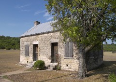 | Copperas Cove Stagestop and Post Office | building | 1979 | 79002928 |
 | Coryell County Courthouse | building | 1977 | 77001435 |
 | Leon Street Bridge at the Leon River | structure | 2017 | 100000694 |
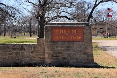 | Mother Neff State Park and F. A. S. 21-B(1) Historic District | district | 1992 | 92001303 |
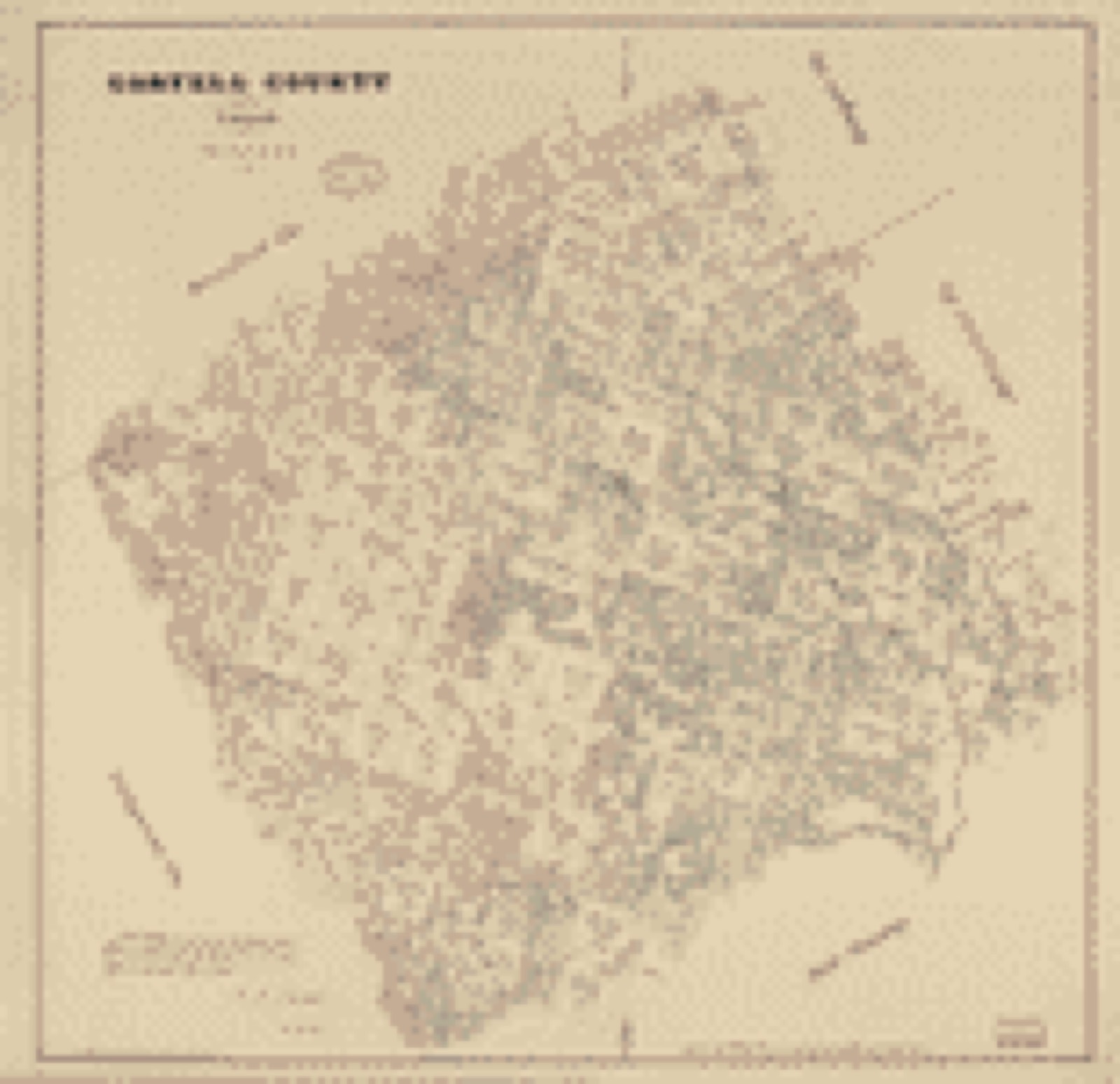
Drawn when these were printed as single large sheets: the town seen from the air, and the county divided into its farms with every owner named. Each opens the original at the Library of Congress.
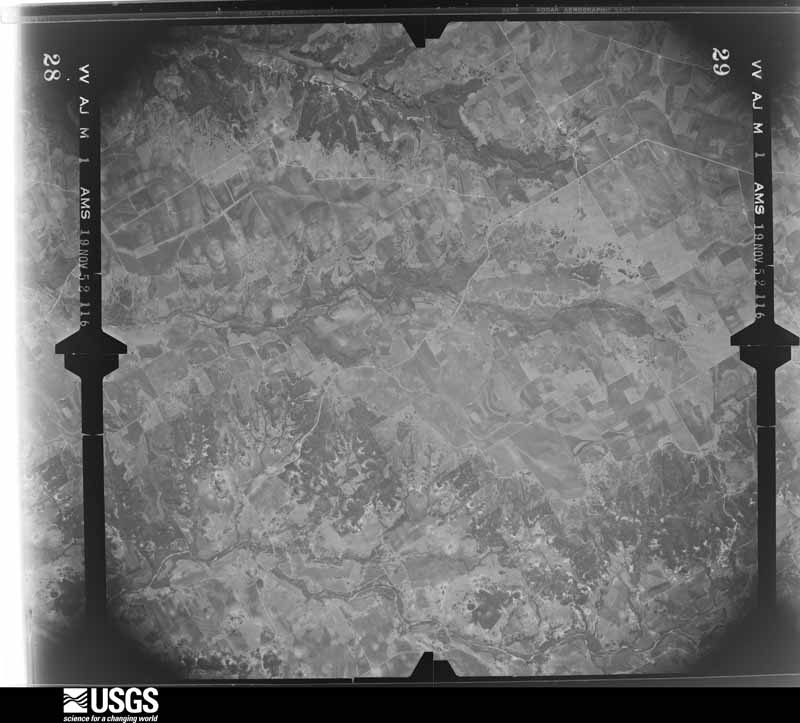
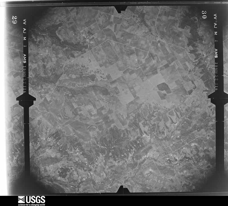
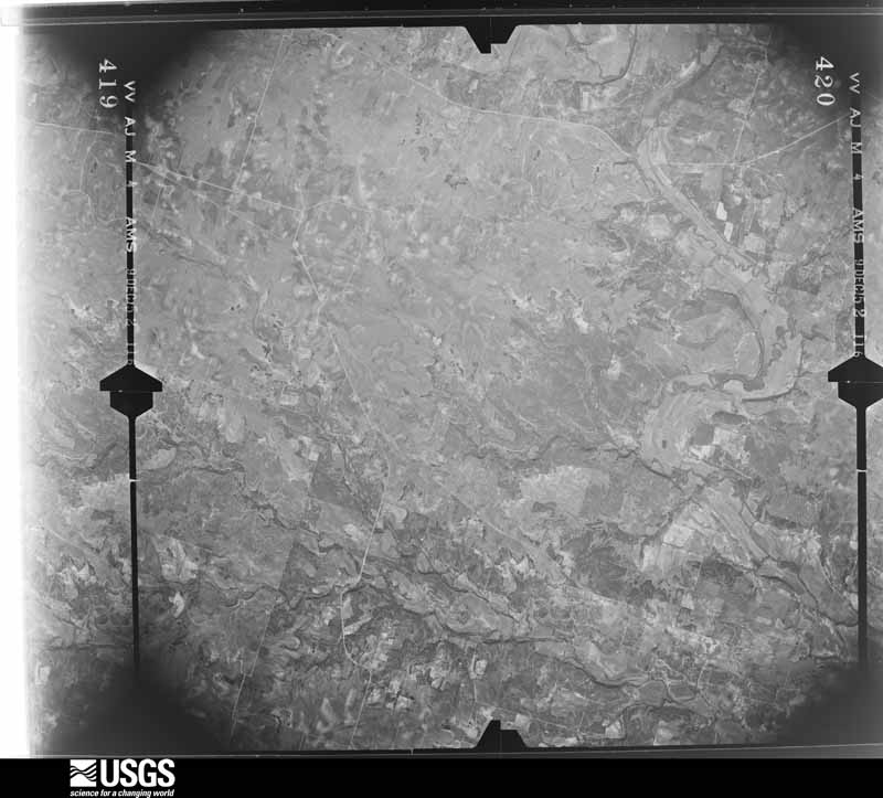
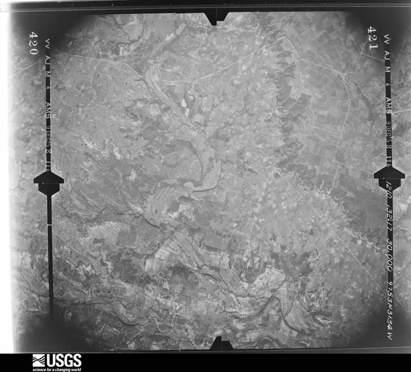
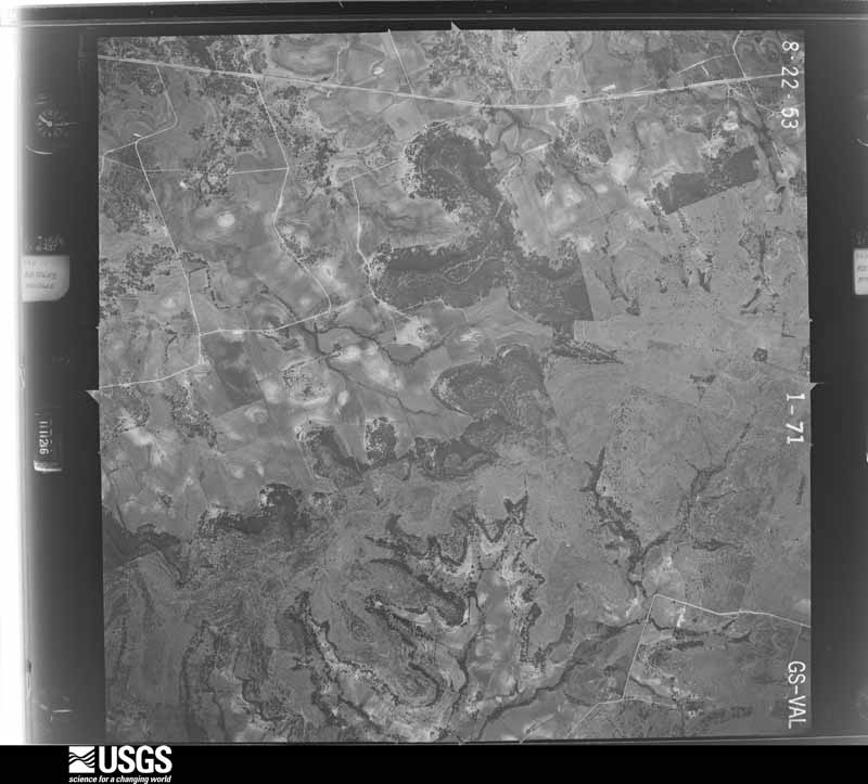
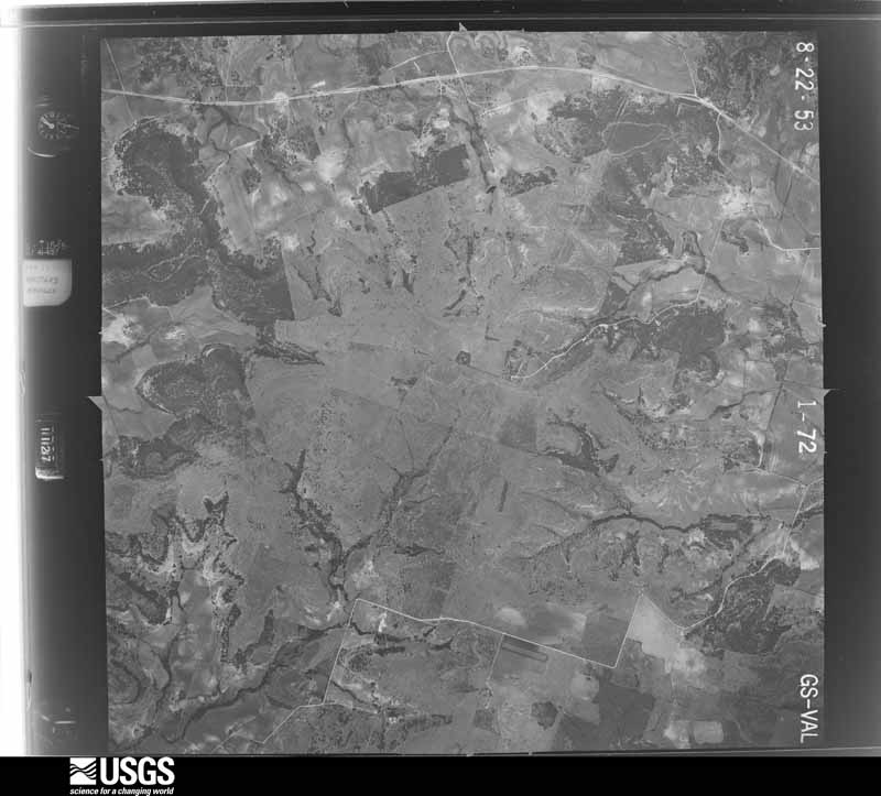
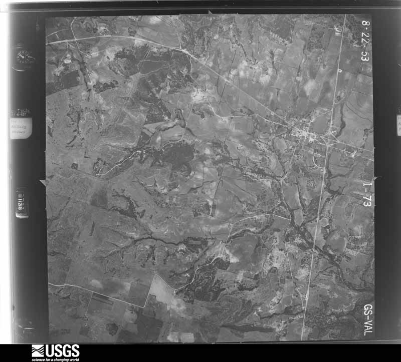
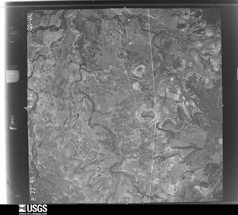
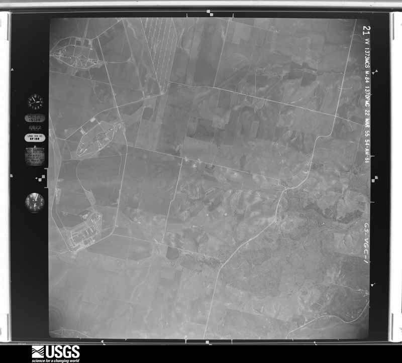
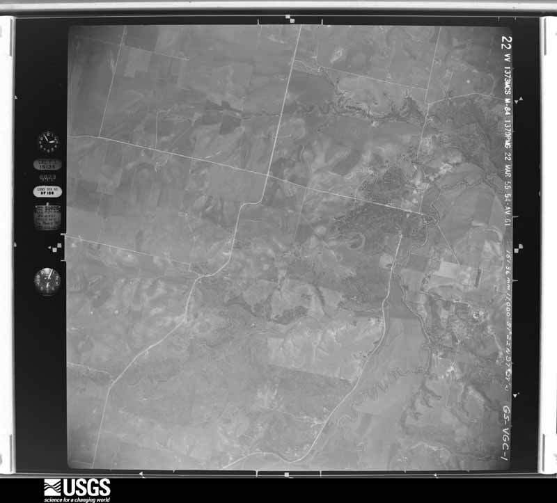
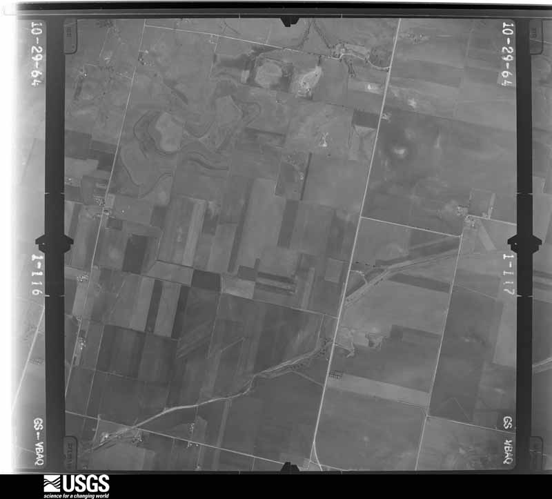
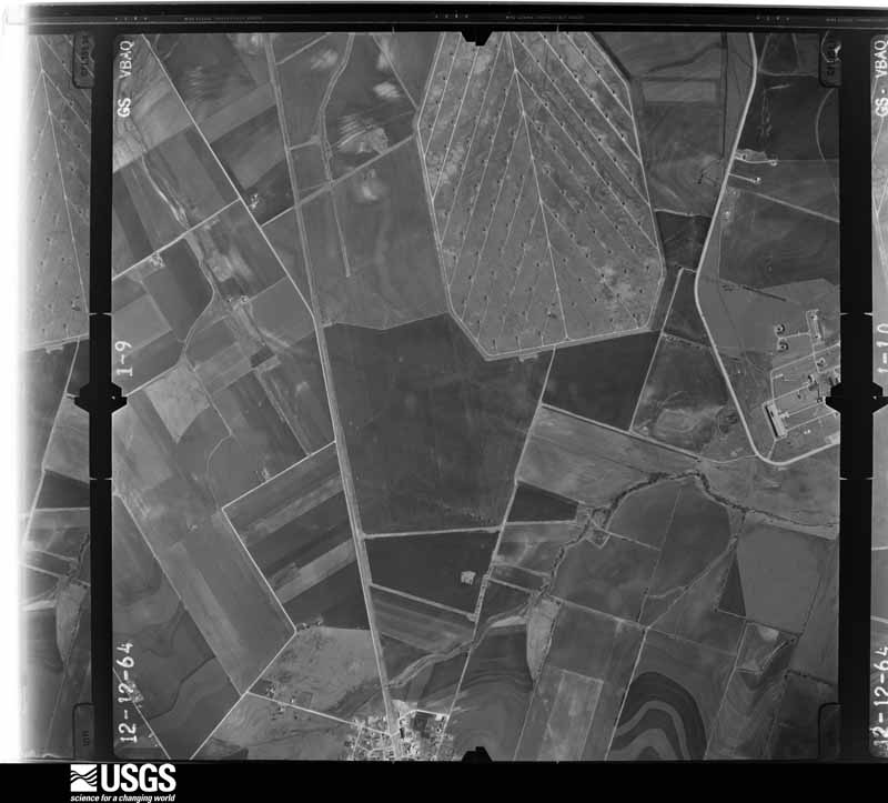
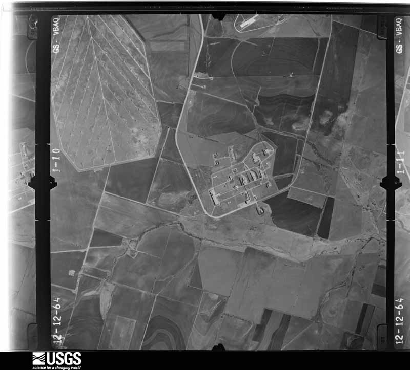
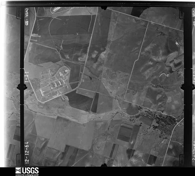
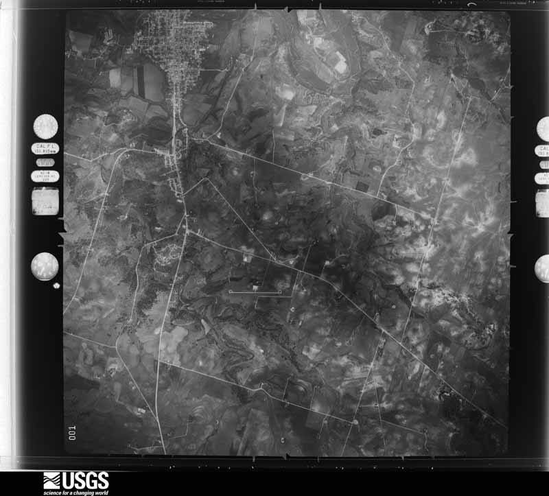
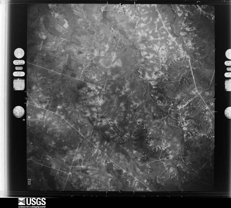
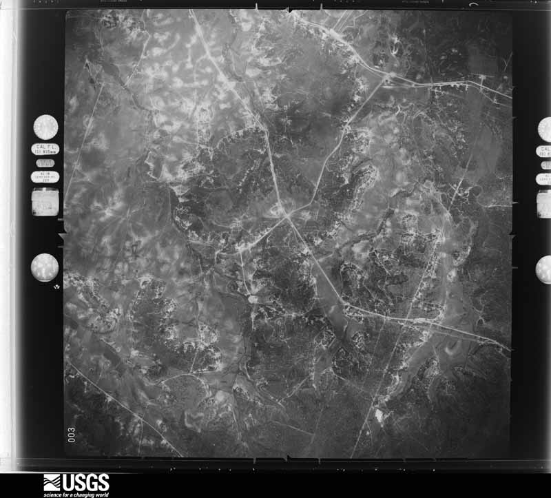
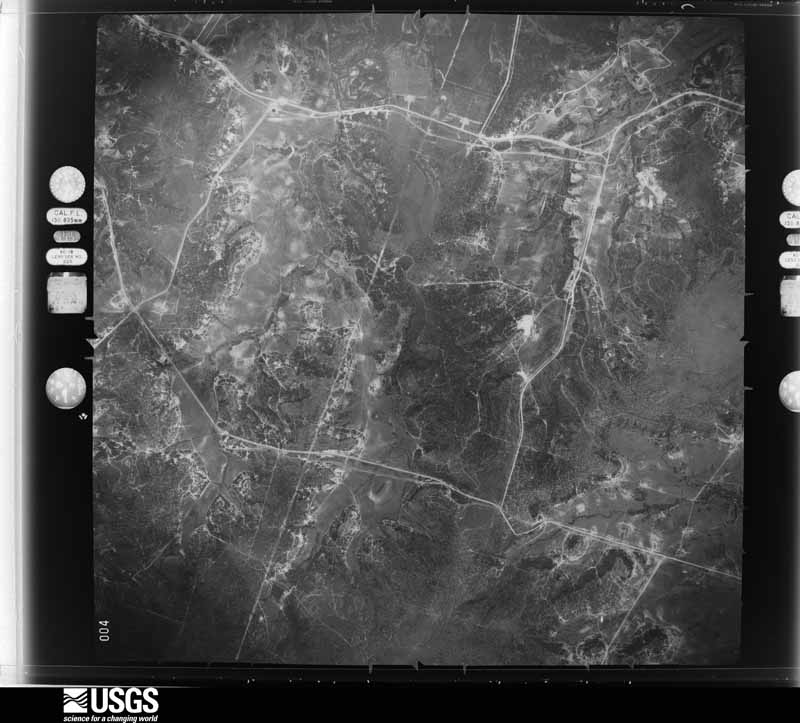
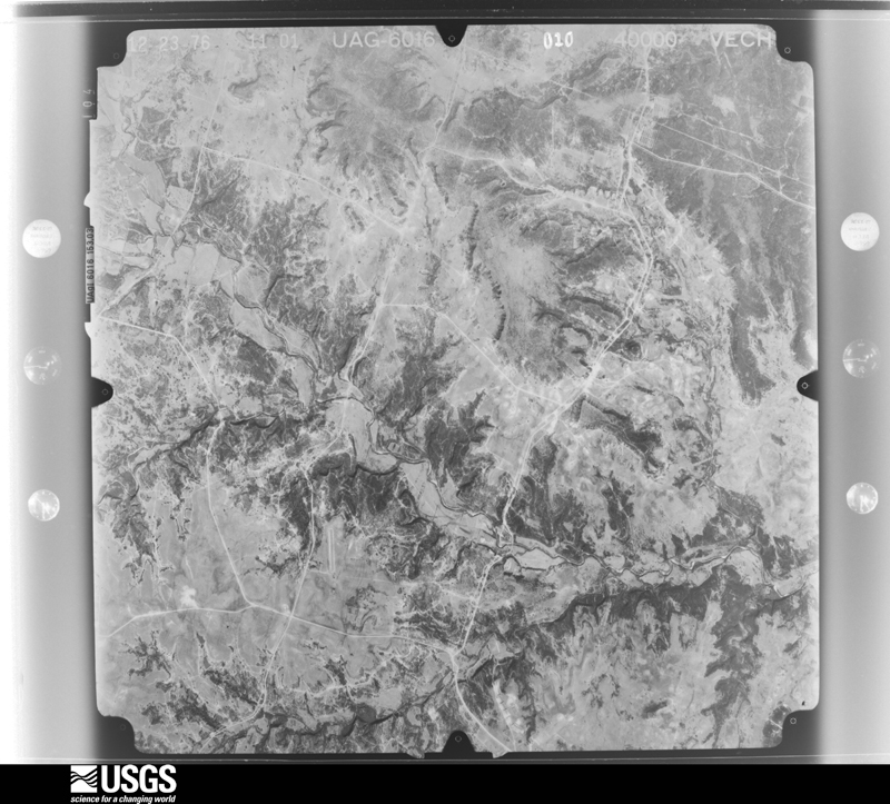
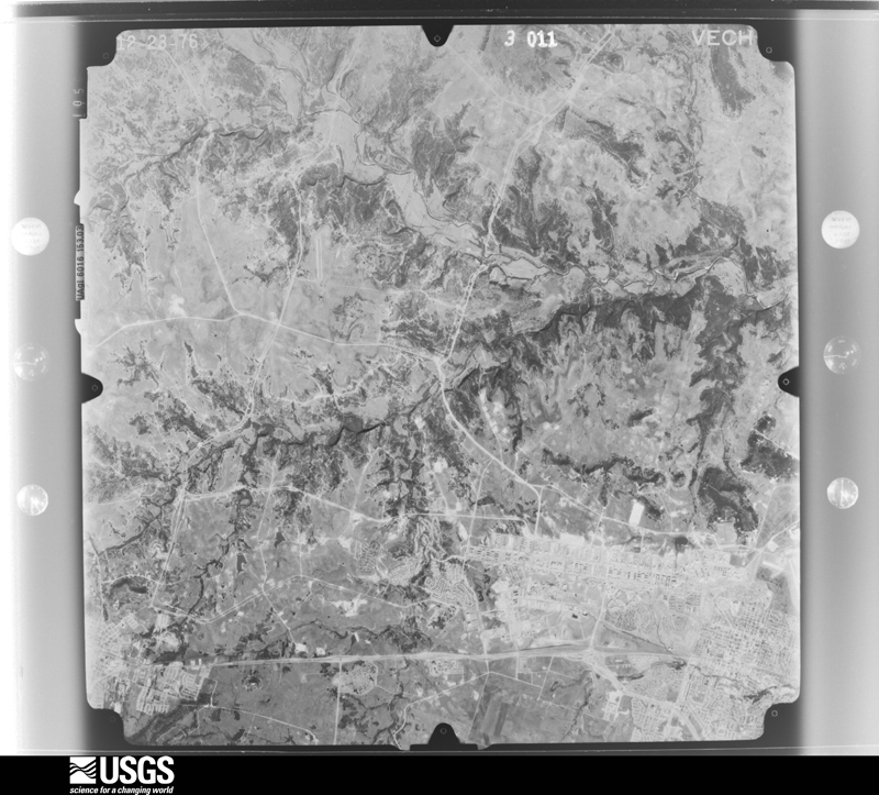
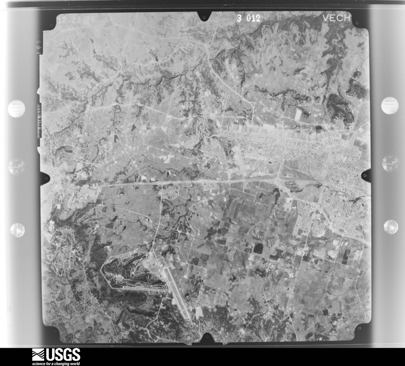
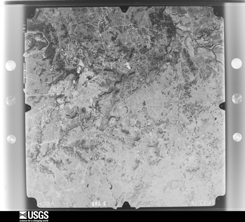
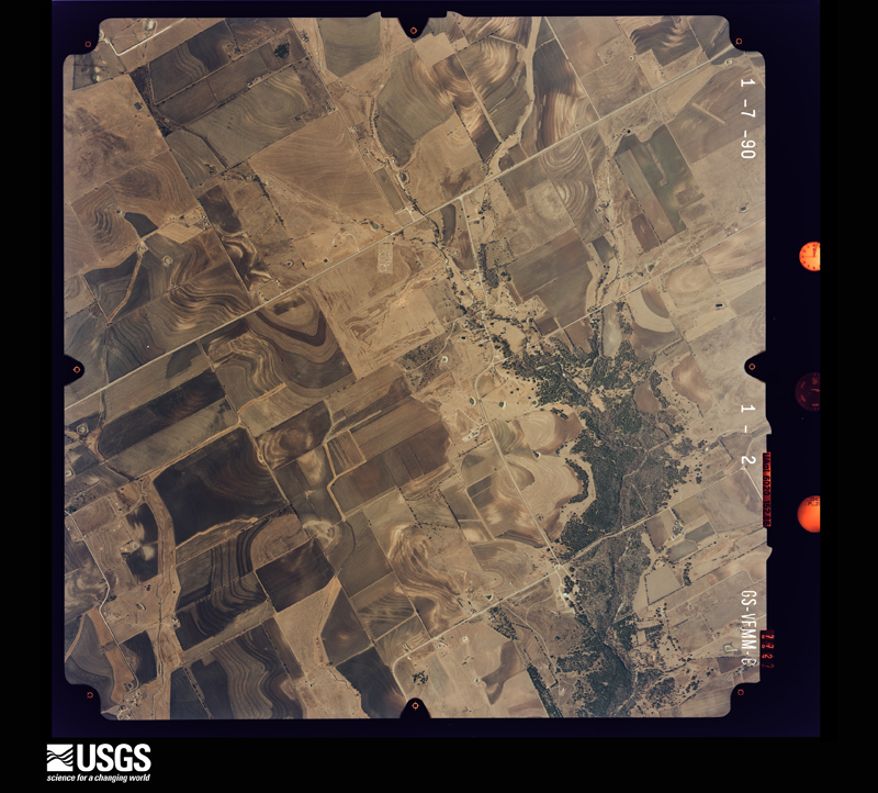
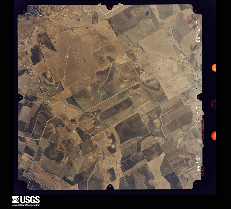
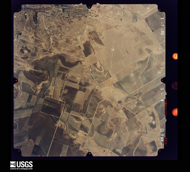
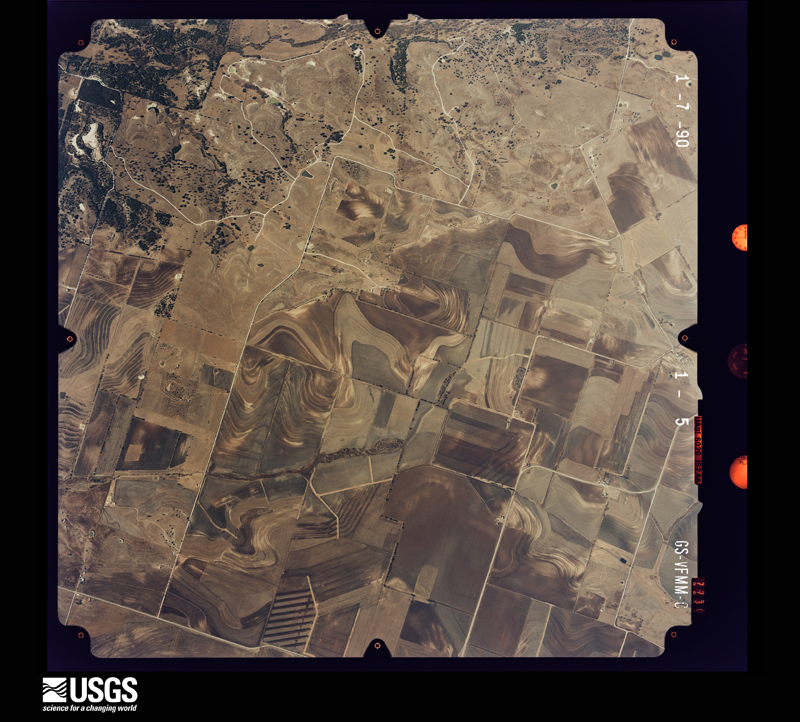
Flown by the U.S. Geological Survey between 1937 and 1989, the Aerial Photo Single Frames collection is the definitive mid-century view of the land: fields, roads and rivers as the camera saw them. The Survey holds 1,401 frames inside the rectangle that bounds this county; the 26 frames below were taken over the county itself, chosen across the decades of flights (at most four a year from that rectangle), so one flight cannot crowd out the rest. The full set is free to browse and download at EarthExplorer under the dataset Aerial Photo Single Frames.
The thermometers that kept this county's weather, and the gages that measured the flow of its streams, as the federal records hold them. The extremes below are measured values from those records, not estimates.
Who lived here in 1950, one enumeration district at a time, as the Census Bureau described each district. Each row opens its official National Archives result, with Population Schedules and ED Maps available there.
Every wildfire the federal occurrence database records inside this county: 1,589 of them, burning about 40,506 acres. 31 started naturally and 21 were recorded as arson. Each settlement page carries the fires within five miles of it.
| Reported cause | Fires |
|---|---|
| Debris and open burning | 793 |
| Missing data/not specified/undetermined | 426 |
| Equipment and vehicle use | 216 |
| Smoking | 41 |
| Natural | 31 |
| Power generation/transmission/distribution | 29 |
| Arson/incendiarism | 21 |
| Recreation and ceremony | 15 |
| Misuse of fire by a minor | 15 |
| Other causes | 2 |
The five largest, by the area the report gives. One of them was set deliberately.
| Date | Cause | Size | Reported by | Name on the report |
|---|---|---|---|---|
| 20 August 2011 | Missing data/not specified/undetermined | 6,180 acres | Texas A & M Forest Service | ROBINETTE FIRE |
| 30 August 2011 | Missing data/not specified/undetermined | 3,700 acres | Texas A & M Forest Service | JACK MOUNTIAN FIRE |
| 27 July 2009 | Arson/incendiarism | 3,000 acres | Texas A & M Forest Service | OWL CREEK FIRE |
| 18 July 2018 | Missing data/not specified/undetermined | 2,887 acres | Texas A & M Forest Service | HARMAN ROAD |
| 9 March 2006 | Missing data/not specified/undetermined | 2,000 acres | Texas A & M Forest Service | GUN RANGE |
| 28 August 2011 | Missing data/not specified/undetermined | 1,635 acres | Texas A & M Forest Service | CORYELL COUNTY COMPLEX |
| 21 August 2011 | Missing data/not specified/undetermined | 1,500 acres | Texas A & M Forest Service | PILOT KNOB FIRE |
| 9 March 2006 | Missing data/not specified/undetermined | 1,500 acres | Texas A & M Forest Service | BROWNS CREEK RANGE |
Every settlement page carries the fires within five miles of it - see the settlement index below.
The NOAA Storm Events Database holds 457 reports for this county, causing 16 deaths, 6 injuries and about $6,127,200 in recorded property damage. Each settlement page carries the reports that name it.
| Kind of event | Reports |
|---|---|
| Hail | 216 |
| Thunderstorm Wind | 130 |
| Flash Flood | 54 |
| Tornado | 35 |
| Flood | 16 |
| Lightning | 5 |
| Wildfire | 1 |
The most serious of them, by death, then injury, then recorded damage. The accounts are quoted exactly as the forecast office filed them.
| When | Event | Place named | Harm | What the report says |
|---|---|---|---|---|
| June 2016 | Flash Flood | Cold Spg | 9 killed, 3 hurt, $30,000 | Multiple media outlets reported the tragic drownings of 9 members of the U.S. Military in a flooded creek on Fort Hood Army Base the morning of June 2. The soldiers were killed when their truck overturned in rain-swollen Owl Creek during a military training exercise. Three other soldiers in the truck were rescued. |
| May 2015 | Flood | Leon Jct | 3 killed, $10,000 | A minivan with three passengers was carried away by flood waters in the Leon River at Coryell County road 321 just after 10 AM on Sunday, May 31st. The Coryell Sheriff's Office says the believe the driver tried to cross a low water crossing when the current swept the car away. Crews located the car submerged under nine feet of water. The Leon River remained high until the 3rd of June, when the water receded enough to locate the vehicle. |
| May 2007 | Flash Flood | Copperas Cove | 2 killed, $15,000 | High water closed Highway 190 near Clear Creek. A minivan was washed off FM 3046 about one-half mile south of Highway 116. The occupants exited the vehicle but drowned. |
| July 2007 | Flood | Ft Hood Aaf | 1 killed, $10,000 | A civilian worker's body was found in Cowhouse Creek downstream from where his vehicle was pulled from the water. The man had gone missing after a fireworks show. At the time, Cowhouse Creek was over five feet above flood stage. |
| August 2005 | Flash Flood | Gatesville | 1 killed | A woman was swept into Greenbriar Creek while trying to cross on foot. |
| May 1997 | Tornado (F1) | Oglesby | 2 hurt, $75,000 | A tornado developed near Oglesby, moved south for 5 miles and dissipated near Mother Neff State Park. Along the tornado's path a home received major damage, siding was removed from a church, several barns and outbuildings were destroyed, numerous large trees were uprooted and a car with 5 occupants was lifted from the road and thrown onto a fence. Two of the occupants received minor injuries. |
| April 1987 | Thunderstorm Wind | not stated | 1 hurt | no account filed |
| June 2007 | Flood | Gatesville | $1,000,000 | Numerous residents were evacuated, and at least 24 homes were affected by floodwaters from the Leon River. |
| June 2019 | Tornado (EF2) | Copperas Cove | $500,000 | An isolated supercell thunderstorm produced an EF-2 tornado near the border separating extreme southern Coryell County from extreme eastern Lampasas County, Texas. Officials reported that approximately 196 residences in the City of Copperas Cove were impacted to varying degrees. This tornado formed near the intersection of Grimes Crossing Road and Big Divide Road in far western Copperas Cove. At this intersection, two frame-built residences were initially impacted. Both residences had significant roof and exterior wall damage, and one home had the majority of its roof decking completely removed. The damage associated with this latter structure was consistent with EF-2 intensity tornado damage, with peak winds of approximately 115 mph. The other heavily impacted residence had damage consistent with EF-1 intensity tornadic winds, with peak winds of 100-105 mph. ||The tornado tracked south-southeastward, producing significant shingle, tree and ancillary structural damage to numerous residences in the neighborhoods straddling Big Divide Road. Most of this damage was due to EF-0 intensity winds, but several homes along the remainder of the path had portions of their wooden roof decking or sheet metal roof cladding removed. Several large trees were also uprooted along the path. These damage indicators were consistent with EF-1 intensity damage. In the latter stages of its life cycle, the tornado's width contracted to around 100 yards and wind intensities diminished. The tornado ultimately moved up a wooded hillside and dissipated near the intersection of Veterans Avenue and Stewart Street. |
| May 1994 | Thunderstorm Wind | Copperas Cove | $500,000 | Two mobile homes were blown over and several damaged by thunderstorm winds. Power lines and large trees were blown down. |
| April 2023 | Thunderstorm Wind | King | $350,000 | RFD winds were determined to be the cause of damage at a home on Longview Circle that lost part of its roof. The RFD winds could have been near 95 mph. |
| January 2017 | Tornado (EF2) | Whitehall | $300,000 | A National Weather Service storm survey crew found evidence of damage consistent with EF-2 winds in Coryell County. Two homes were damaged to the point where most of their roof was removed. Several barns were destroyed as well, as were multiple pieces of farm and ranch equipment. |
| September 2010 | Flash Flood | Bee House | $300,000 | Highway 190 east of Copperas Cove, Farm-to-Market Road 1829 at Highway 236, and several other roads throughout the county were closed due to high water. There was one high water rescue on County Road 132 just off of Farm-to-Market Road 1783. A few homes around the county were damaged when flood waters entered the homes. |
| June 2023 | Hail | Gatesville | $250,000 | A trained spotter reported golf ball sized hail in Gatesville. |
| March 2007 | Flash Flood | Oglesby | $250,000 | Highway 36 was closed due to high water. Six homes were damaged and twenty high water rescues were required. Several vehicles were washed away, and trailers were forced off their foundations by the force of the water. Portions of roads were also washed away. |
| December 2006 | Tornado (F1) | Oglesby | $200,000 | A damage survey conducted by the National Weather Service Forecast Office in Fort Worth revealed that a tornado developed just south of CR 315 and moved rapidly north-northeast. It damaged numerous trees along CR 315 and FM 107. As the tornado moved just west of Oglesby, it damaged homes and sheds along CR 303, CR 305, and CR 306. A home south of CR 306 had shingles and a portion of roof decking removed. The tornado dissipated just north of Highway 84. |
| April 2023 | Hail | Gatesville | $100,000 | A public report indicated 2-inch diameter hail in Gatesville, TX. |
| April 2023 | Hail | Oglesby | $100,000 | A public report indicated 2-inch diameter hail about 4 miles north-northwest of Oglesby, TX. |
| April 2023 | Hail | Flat | $100,000 | A public report indicated golf ball sized hail 8 miles southeast of Fort Gates, TX. |
| June 2007 | Tornado (EF0) | Copperas Cove | $100,000 | A brief tornado which touched down in Lampasas County continued into Coryell County, damaging portions of Sleepy Hollow Lane and Carroll Drive. Several homes sustained minor damage. One home was blown slightly off its foundation, while others had damage to roofs and decks. Trees and fences were also torn down. |
| October 2003 | Flash Flood | Countywide | $100,000 | Numerous county roads and farm to market roads were closed due to high water. At least two bridges and one farm to market road were washed out, and a house was flooded in Oglesby. |
| February 1998 | Thunderstorm Wind | Copperas Cove | $100,000 | A mobile home was overturned by strong winds. The roof of a church was damaged and trees were uprooted. |
| May 2023 | Hail | King | $100,000 | no account filed |
| May 2015 | Tornado (EF1) | Topsey | $90,000 | A National Weather Service damage survey team found evidence of a nearly six mile tornado path across much of Coryell County and an extremely small part of Fort Hood. The tornado began near Farm to Market Road 580 where it crosses Table Rock Creek. From there, the tornado moved north, and eventually northeast before it dissipated just east of Farm to Market Road 116 near Shell Mountain Road. There were six homes which suffered damage, including one which had the roofing material removed. The most extensive damage was done to an historic cemetery, where all but one tree was damaged, uprooted, or both. |
| May 2008 | Thunderstorm Wind | Gatesville | $90,000 | Roofs were ripped off two buildings in downtown Gatesville. At least ten utility poles and numerous large trees and tree limbs were blown down. Seven large windows had to be replaced on the Coryell County courthouse after they were shattered by debris from the storm. The Stillhouse Water Treatment Plant lost a roof as well. |
| February 2009 | Thunderstorm Wind | Gatesville | $75,000 | A gas station near the intersection of US HWY 84 and State HWY 36 had its windows blown in. A sheriff's deputy was injured in the eye by blowing glass. High winds damaged an overhead door at a fire station in Gatesville. A business next to the fire station had the roof blown off. The roof over the swimming pool at a fitness center was partially peeled back and two windows were blown out. A number of homes in the Stoneridge Addition had minor damage. Also, trees and power lines were down. |
| May 2011 | Lightning | Ft Hood Aaf | $50,000 | Lightning started a fire in a housing complex at Fort Hood. |
| October 2009 | Thunderstorm Wind | Topsey | $50,000 | Significant damage occurred to a double wide home on CR 118 north of Topsey. Strong winds destroyed three sheds, one of which was a car shed. The winds also tore shingles off the roof and the side of the home. Some eaves of the home were also damaged, and a 2x4 was driven though a wall. Three holes were created in the home and rainwater entered the home through the holes causing significant water damage. Also on the property, cattle fences were damaged. |
| February 1998 | Thunderstorm Wind | Gatesville | $50,000 | Strong wind damaged a mobile home, a shed, barns, and signs. Trees and power lines were blown down. |
| October 1998 | Tornado (F2) | Oglesby | $50,000 | Two brick homes were destroyed and large trees were uprooted when a narrow tornado touched down briefly. |
| May 1994 | Thunderstorm Wind | Copperas Cove | $50,000 | The roof of three apartment buildings sustained damage from thunderstorm winds. |
| August 1994 | Thunderstorm Wind | Gatesville | $50,000 | The roof of a church was destroyed by high winds. |
| June 2011 | Thunderstorm Wind | Oglesby | $40,000 | The chimney of a home on Knowles Road near Ogelsby was knocked off the home by strong thunderstorm winds. A tractor and three cars on the property were also damaged. The carport at his neighbor's house was blown across the yard. |
| April 2006 | Thunderstorm Wind | Copperas Cove | $40,000 | Trees, power lines, and large tree limbs down around the city. A carport was also blown away. Most of the damage was reported on the south side of Highway 190. |
| April 2006 | Hail | Gatesville | $40,000 | Orange to grapefruit-size hail was reported along Highways 36 and 182. A greenhouse was destroyed and dozens of cars were damaged with windshields broken. |
| May 2006 | Hail | Pearl | $40,000 | Dime-size hail gradually increased to baseball-size throughout the duration of the storm. Extensive damage occurred to churches in the area. Reported by cooperative observer. |
| March 2007 | Tornado (EF1) | Oglesby | $35,000 | Barns and two homes were damaged. Trees were also blown down. |
| July 2025 | Flash Flood | Copperas Cove | $30,000 | Emergency management confirmed that multiple roads in Copperas Cove had become impassable due to flooding, with vehicles stranded on these roadways, primarily in residential areas on the north side of town. |
| May 2008 | Lightning | Copperas Cove | $30,000 | Lightning struck a home and started a fire which caused substantial damage to the residence. |
| July 2005 | Lightning | Gatesville | $30,000 | Lightning started a house fire on CR 272 off FM 185. The house was abandoned and burned to the ground. |
| February 1998 | Thunderstorm Wind | Oglesby | $30,000 | Strong winds damaged a mobile home. |
| December 1997 | Flash Flood | Oglesby | $30,000 | A home was reported flooded by high water. |
| May 2011 | Hail | Topsey | $25,000 | Hail stones ranging from 2 to just over 3 in diameter fell in Topsey. |
| May 2011 | Thunderstorm Wind | Bee House | $25,000 | Several homes suffered roof damage in downtown Evant due to high winds. The metal roof of the old firehouse was torn off and several large trees were also knocked down. |
| May 2007 | Flash Flood | South Mtn | $25,000 | A bridge was washed out on CR 265 between FM 929 and CR 264. |
| August 2005 | Flash Flood | Gatesville | $25,000 | Numerous roads closed due to flooding in and around town. Some roads were washed away. High water rescues were needed for people stranded in cars. Several homes were evacuated as well. The bridge on FM 107 at Station Creek suffered minor damage. |
| October 1979 | Tornado (F1) | not stated | $25,000 | no account filed |
| September 1977 | Tornado (F2) | not stated | $25,000 | no account filed |
| March 1956 | Tornado (F2) | not stated | $25,000 | no account filed |
| June 2023 | Hail | North Ft Hood | $20,000 | Hail damage to vehicles was reported at the fire station in North Fort Cavazos (formerly Ft Hood). |
| June 2014 | Hail | Bee House | $20,000 | Quarter to hen egg sized hail was reported in Evant over a ten minute period. |
| July 2008 | Thunderstorm Wind | Turnersville | $20,000 | Two 13' x 150' sheds holding chickens, geese, and quail were destroyed by an isolated downburst. Both structures rolled, killing or injuring some of the birds and releasing others. |
| July 2007 | Flash Flood | Copperas Cove | $20,000 | A few streets were closed temporarily, including Avenue B. Some cars stalled and water entered at least one home. |
| March 2014 | Hail | Copperas Cove | $20,000 | no account filed |
| May 2025 | Hail | Copperas Cove | $15,000 | Park and Forest Service personnel reported a few baseball to grapefruit size hail stones in south Copperas Cove. |
| April 2016 | Hail | Copperas Cove | $15,000 | Spotters reported quarter to golf ball sized hail approximately one mile east-northeast of Copperas Cove. Damage was done to several vehicles. |
| March 2008 | Thunderstorm Wind | Oglesby | $15,000 | A horse barn was destroyed. |
| May 2006 | Thunderstorm Wind | Gatesville | $15,000 | A barn was blown onto FM 929. |
| May 2006 | Thunderstorm Wind | Pearl | $15,000 | A roof was blown off a building and trees were blown down. |
| May 2001 | Thunderstorm Wind | Gatesville | $15,000 | A veterinary clinic was heavily damaged by high winds. |
The Survey's mineral resources record lists 3 workings inside this county. All of them still produce. Each settlement page carries the workings within five miles of it.
| Commodity | Workings |
|---|---|
| Stone, Crushed/Broken | 2 |
| Sand and Gravel, Construction | 1 |
| Limestone, General | 1 |
The least common of them first, because a county's hundredth gravel pit says nothing its first ten did not.
| Where | Site | Commodity | Status | Recorded |
|---|---|---|---|---|
| Clayton Pit | Limestone, General, Stone, Crushed/Broken | Producer | ||
| Mound Plant | Sand and Gravel, Construction | Producer | ||
| Oglesby Quarry & Plant | Stone, Crushed/Broken | Producer |
Named settlements recorded in the Geographic Names Information System, each with the topographic sheets covering it. Villages, hamlets and abandoned places alike. Each is shown with the nearest named watercourse or landform and the survey quadrangle it falls on.
Fort Cavazos census division · On Buttermilk Creek · Fort Hood quadrangle
15 sheets, 1894 to 1995
Fort Cavazos census division · 76544 · Fort Hood quadrangle
15 sheets, 1894 to 1995
Fort Cavazos census division · 76544 · Fort Hood quadrangle
15 sheets, 1894 to 1995
Fort Cavazos census division · 76544 · Fort Hood quadrangle
15 sheets, 1894 to 1995
Copperas Cove census division · 76522 · Near Hog Mountain · Copperas Cove quadrangle
16 sheets, 1894 to 1995
Flat census division · 76528 · Near King Mountain · North Fort Hood quadrangle
16 sheets, 1894 to 1994
Gatesville census division · 76528 · On Turnover Creek · Gatesville East quadrangle
16 sheets, 1894 to 1994
Gatesville census division · 76528 · On Stillhouse Branch · Gatesville East quadrangle
16 sheets, 1894 to 1994
Fort Cavazos census division · On Clear Creek · Fort Hood quadrangle
15 sheets, 1894 to 1995
Turnersville census division · 76634 · On South Fork Hog Creek · Hurst Spring quadrangle
12 sheets, 1888 to 1985
Fort Cavazos census division · On Table Rock Creek · Fort Hood quadrangle
15 sheets, 1894 to 1995
Fort Cavazos census division · 76544 · Near Rattlesnake Hill · McMillan Mountains quadrangle
16 sheets, 1894 to 1994
Purmela-Levita census division · 76528 · Near McCluskey Mountain · Purmela quadrangle
17 sheets, 1894 to 1995
Flat census division · 76528 · Near Bread Tray Mountain · Leon Junction quadrangle
17 sheets, 1894 to 1995
Purmela-Levita census division · 76528 · On Honey Creek · Jonesboro quadrangle
11 sheets, 1888 to 1985
Fort Cavazos census division · On Riggs Run · Post Oak Mountain quadrangle
17 sheets, 1894 to 1994
Fort Cavazos census division · On Hargrove Creek · Fort Hood quadrangle
15 sheets, 1894 to 1995
Fort Cavazos census division · 76544 · Near Rattlesnake Hill · McMillan Mountains quadrangle
16 sheets, 1894 to 1994
Gatesville census division · 76528 · On Henson Creek · North Fort Hood quadrangle
16 sheets, 1894 to 1994
Oglesby census division · 76528 · On South Greenbriar Creek · Oglesby quadrangle
16 sheets, 1894 to 1994
No longer a settlement
Evant census division · 76528 · On Bee House Creek · Pidcoke quadrangle
16 sheets, 1894 to 1995
Fort Cavazos census division · On Hargrove Creek · Fort Hood quadrangle
15 sheets, 1894 to 1995
Evant census division · 76528 · On Patterson Branch · Pidcoke quadrangle
16 sheets, 1894 to 1995
Gatesville census division · 76528 · Gatesville East quadrangle
16 sheets, 1894 to 1994
Turnersville census division · 76528 · On Goldys Branch · Turnersville quadrangle
12 sheets, 1888 to 1985
The vanished settlements of Coryell County: the places named above that are no longer on the map.