 Block
BlockFrom the record
3 National Register listings published here.
Sources: the National Register database, National Park Service
13 topographic sheets cover 5 settlements here, and 3 properties are on the National Register of Historic Places.
3 National Register listings published here.
Sources: the National Register database, National Park Service
Every property in this county listed on the National Register of Historic Places, with the year it was listed and the federal nomination document.
| Photograph | Property | Type | Listed | Reference |
|---|---|---|---|---|
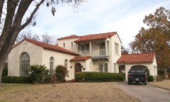 | Ira and Wilma Carson House | building | 2002 | 02001062 |
 | Crockett County Courthouse | building | 1974 | 74002066 |
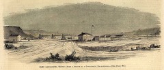 | Fort Lancaster | site | 1971 | 71000928 |
Drawn when these were printed as single large sheets: the town seen from the air, and the county divided into its farms with every owner named. Each opens the original at the Library of Congress.

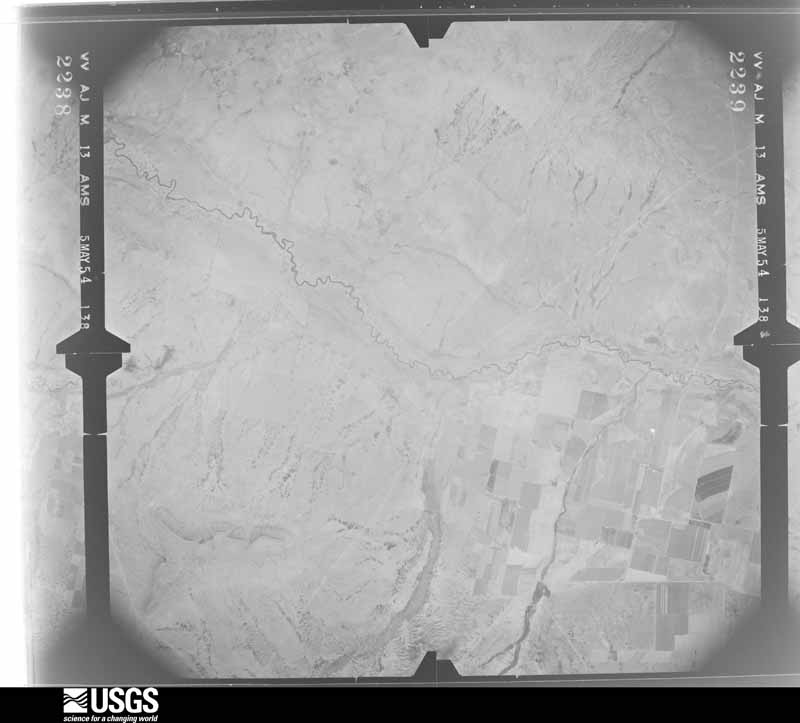
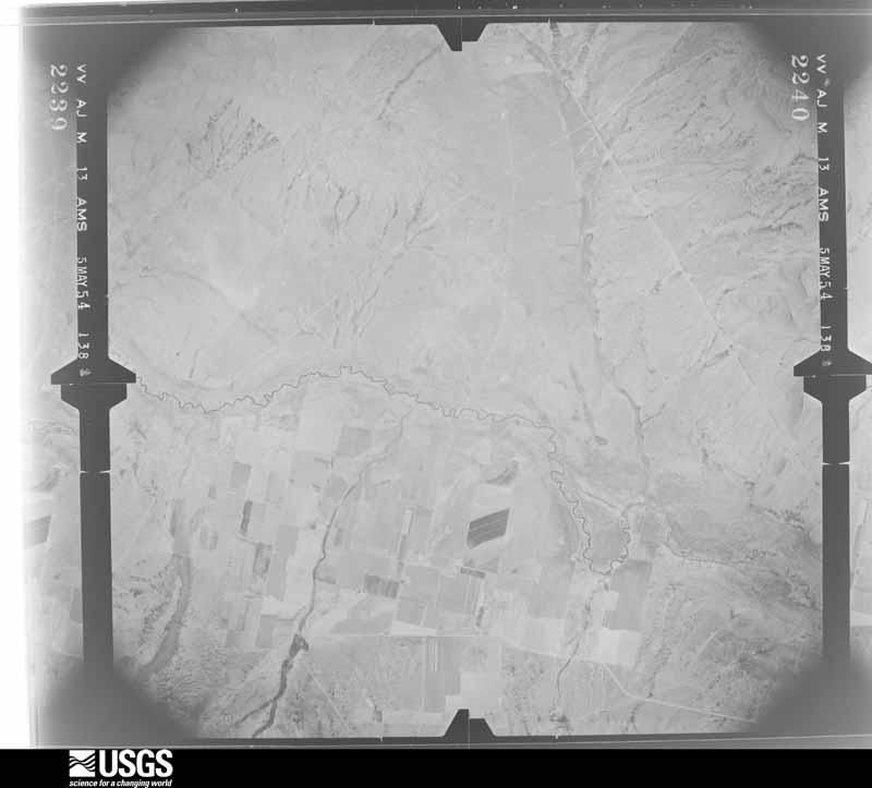
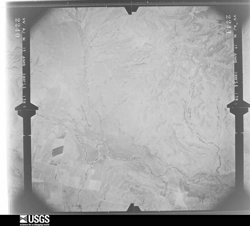
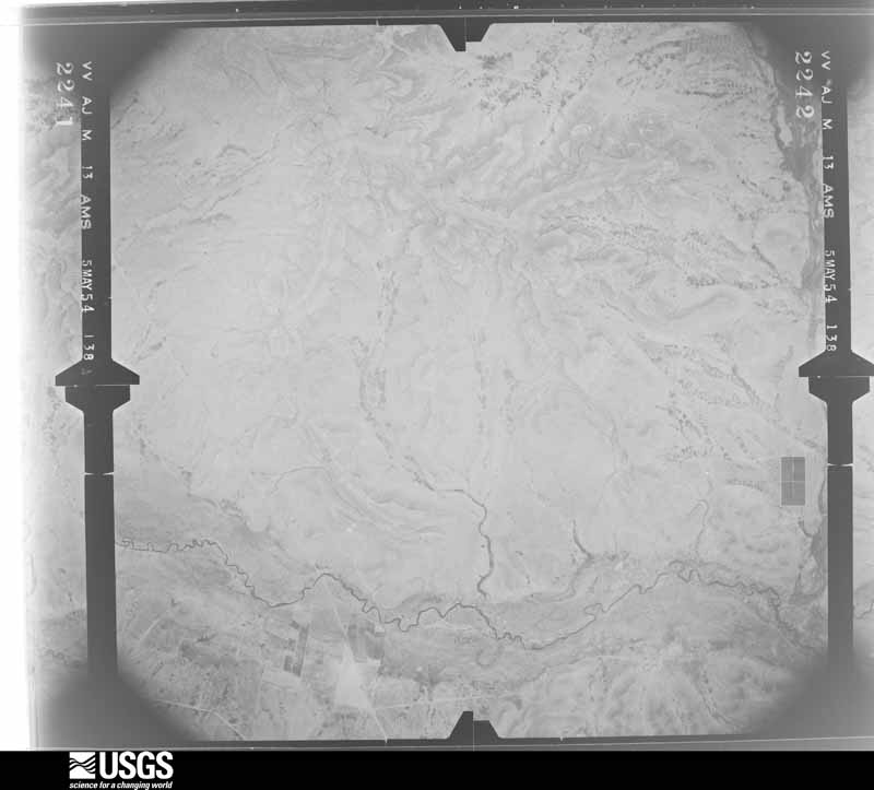
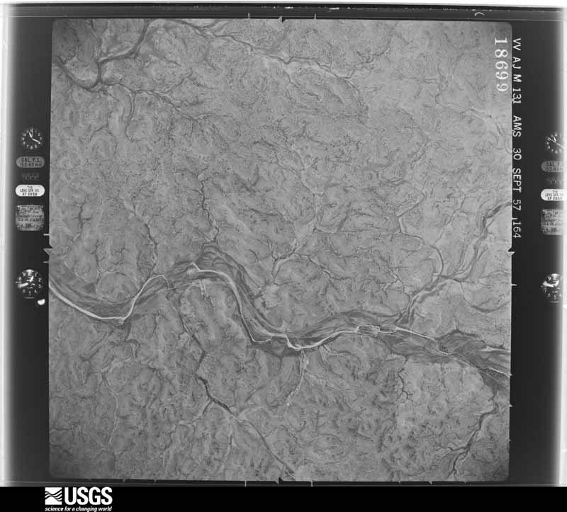
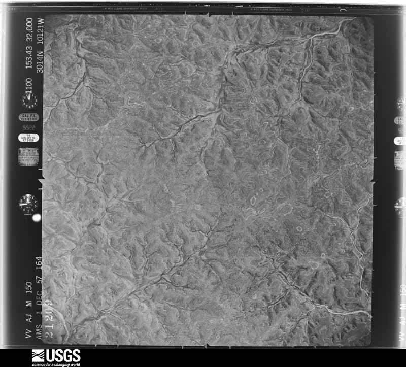
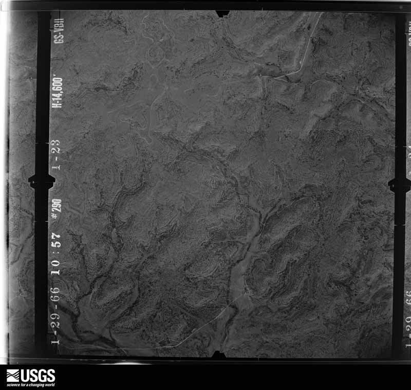
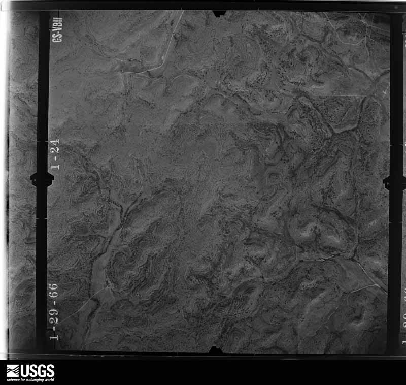
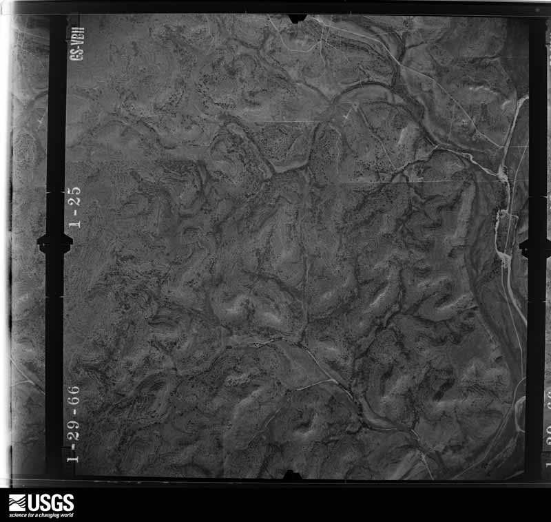
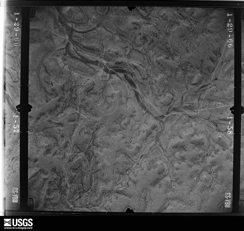
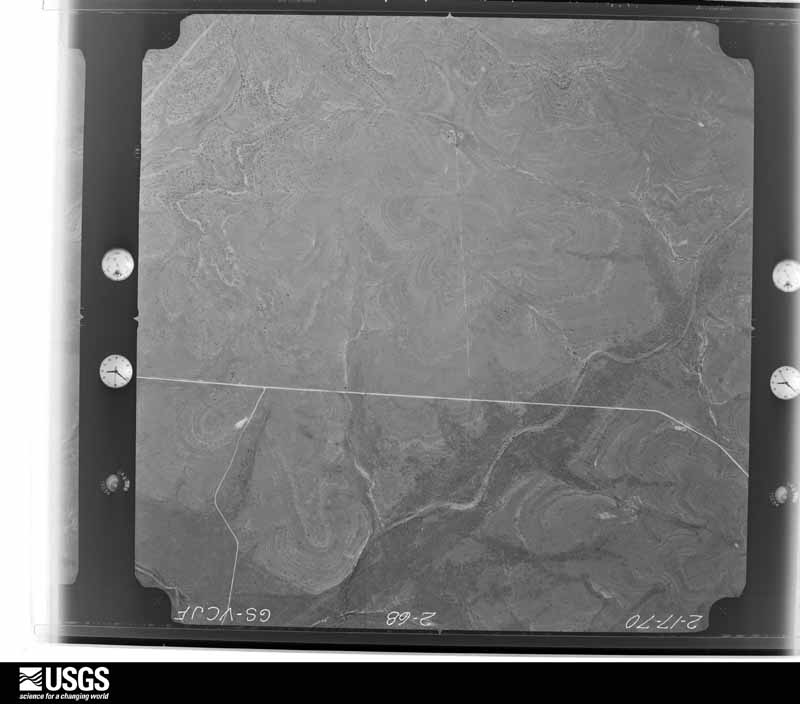
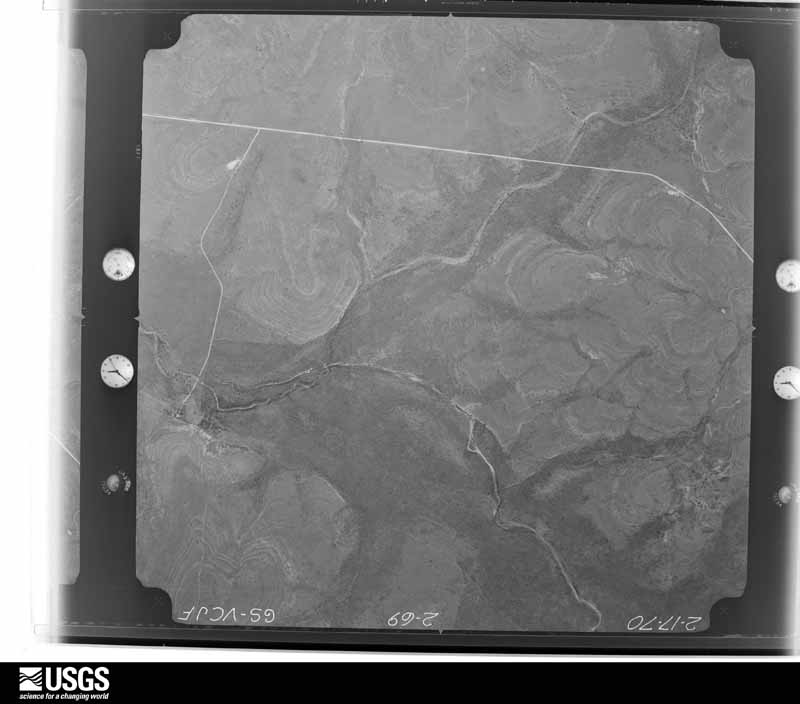
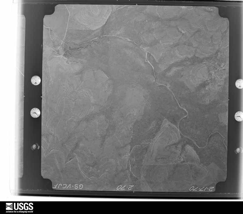
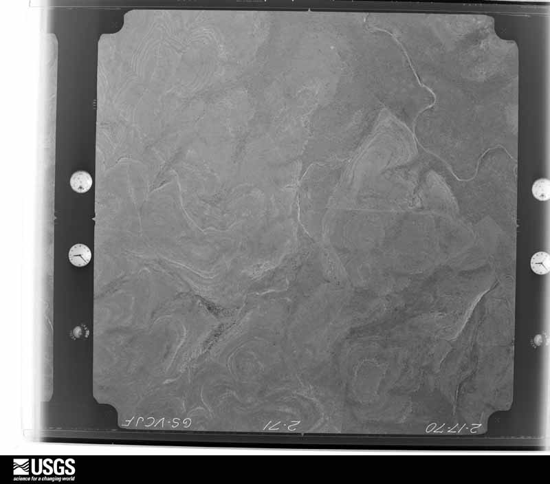
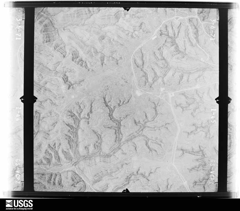
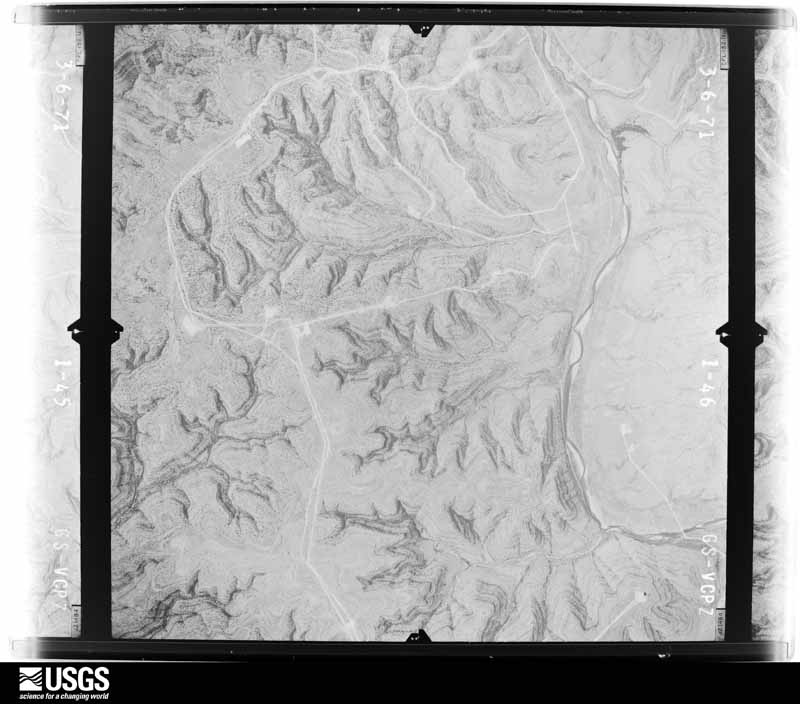
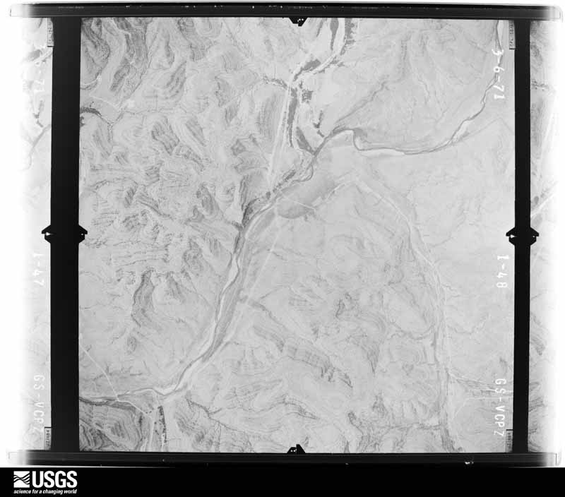
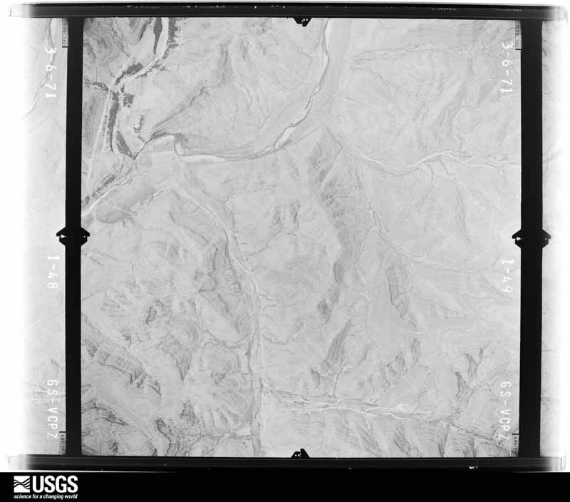
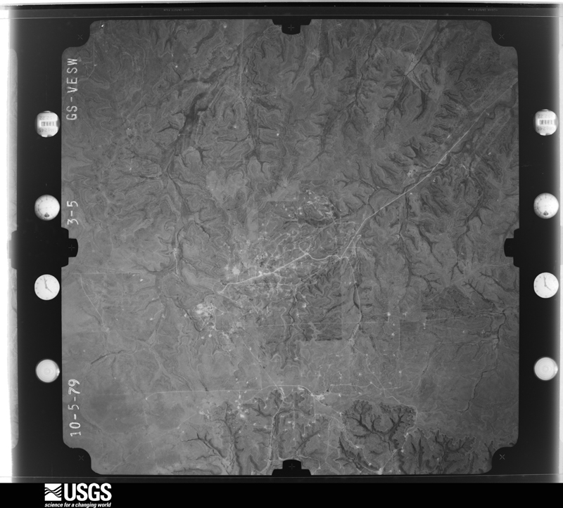
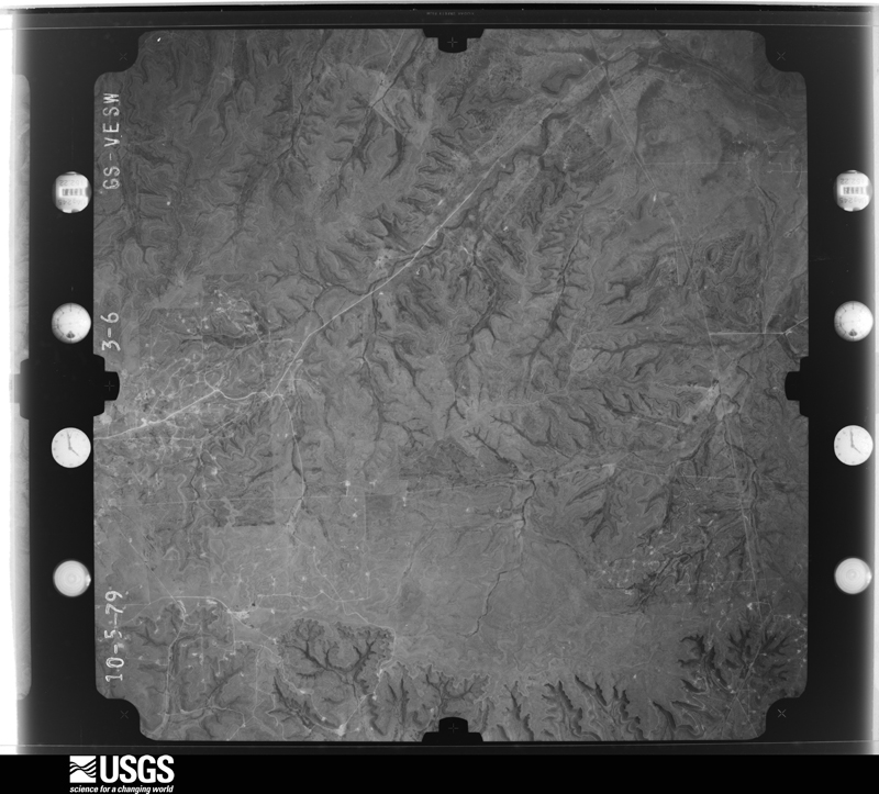
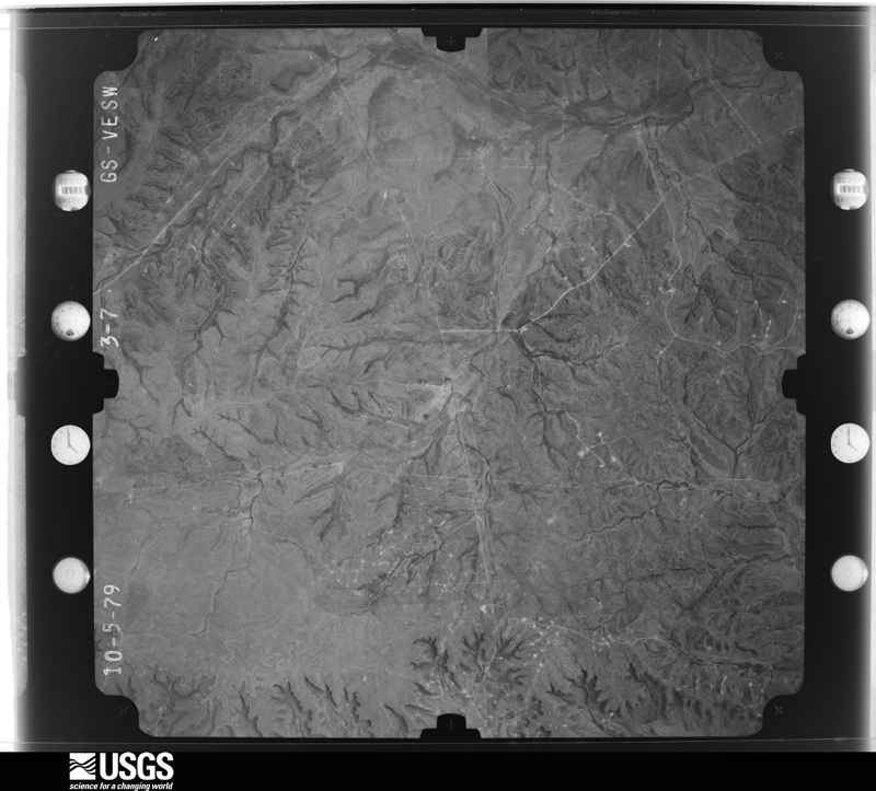
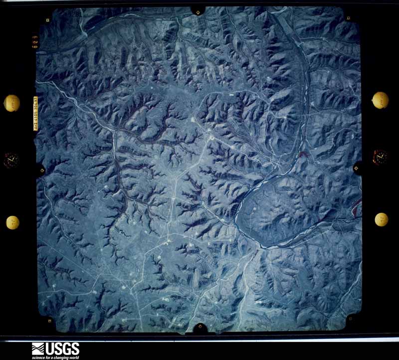
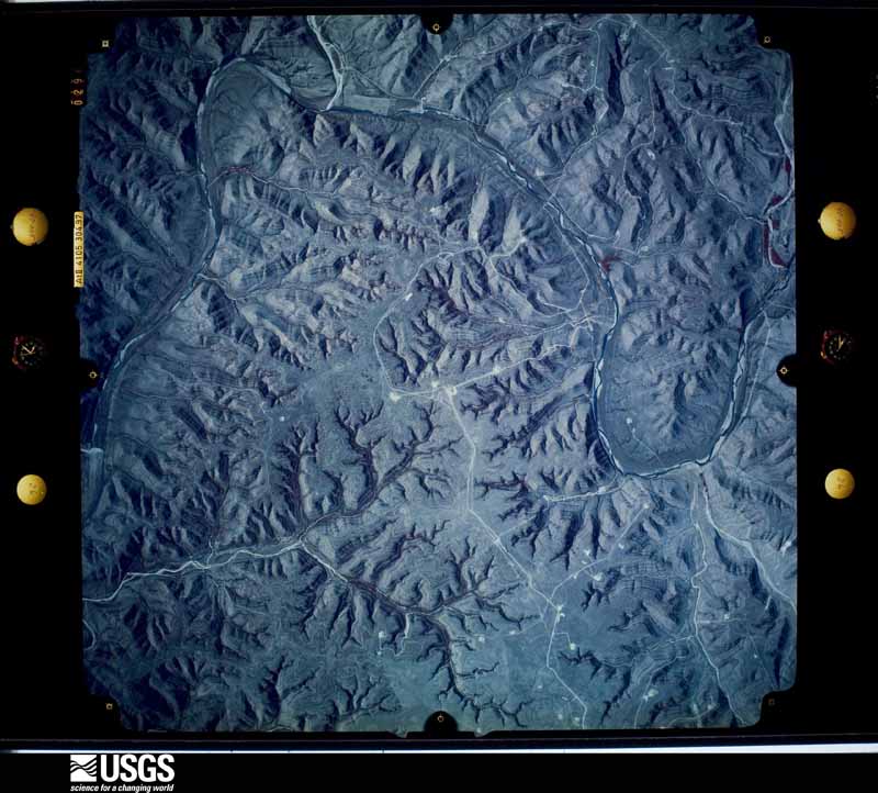
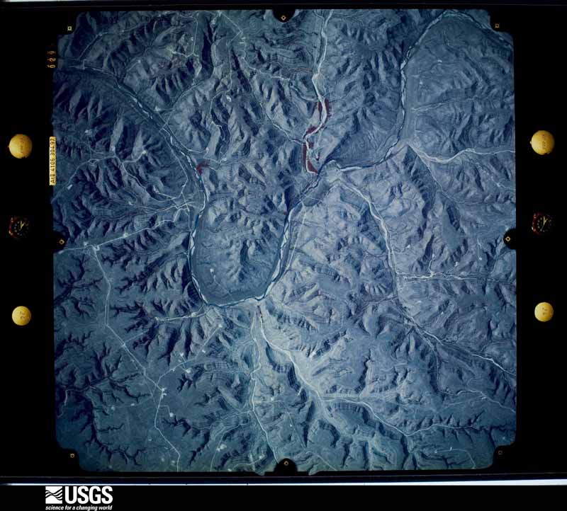
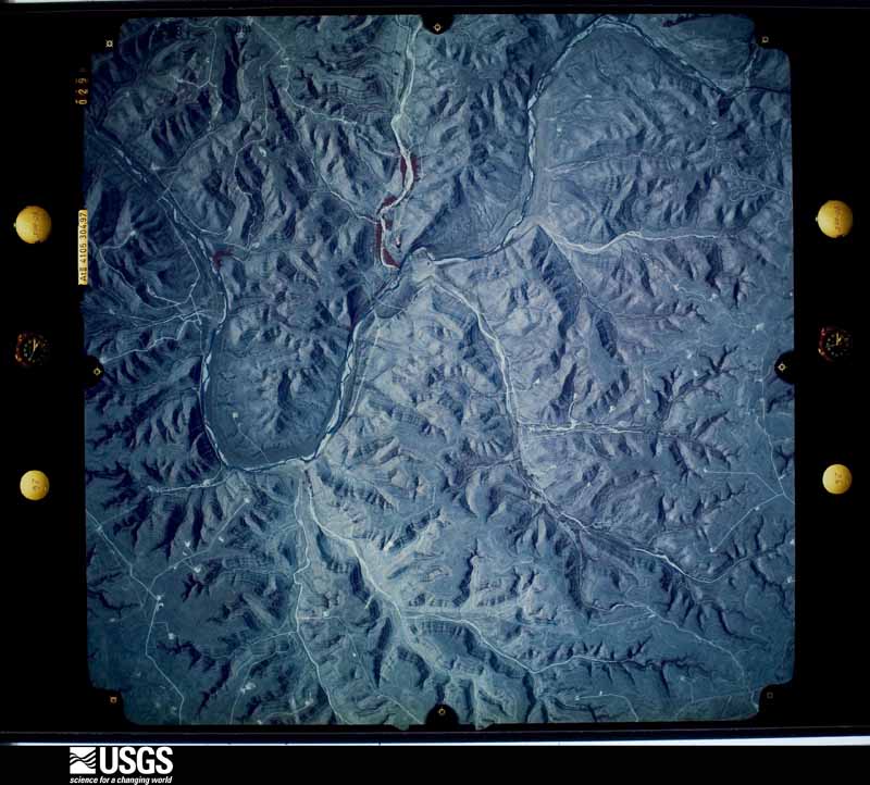
Flown by the U.S. Geological Survey between 1937 and 1989, the Aerial Photo Single Frames collection is the definitive mid-century view of the land: fields, roads and rivers as the camera saw them. The Survey holds 2,806 frames inside the rectangle that bounds this county; the 42 frames below were taken over the county itself, chosen across the decades of flights (at most four a year from that rectangle), so one flight cannot crowd out the rest. The full set is free to browse and download at EarthExplorer under the dataset Aerial Photo Single Frames.
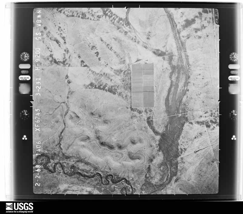
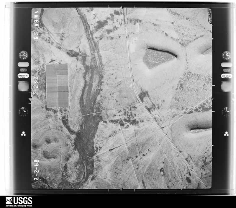
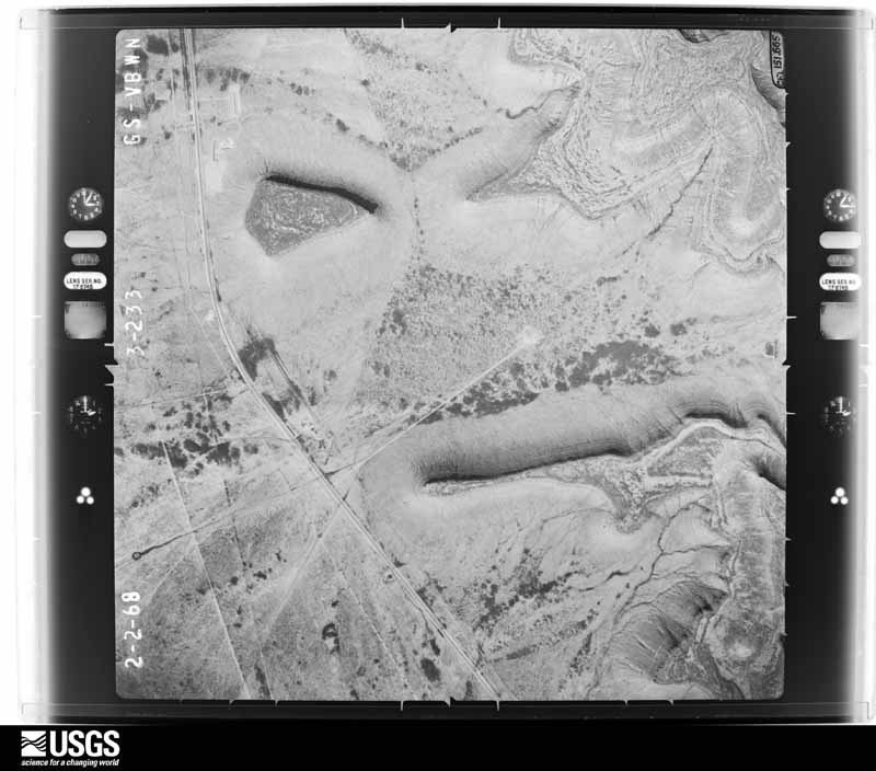
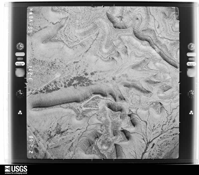





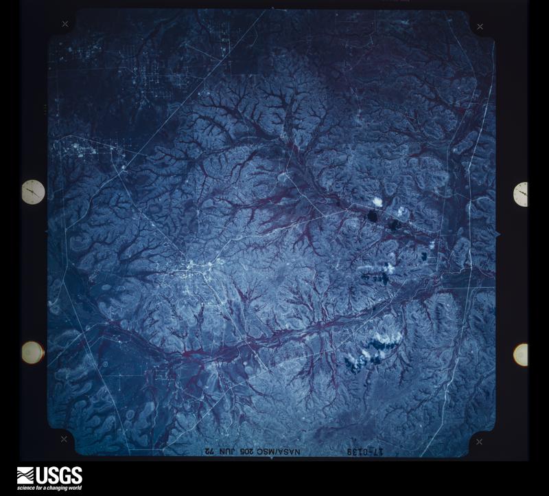
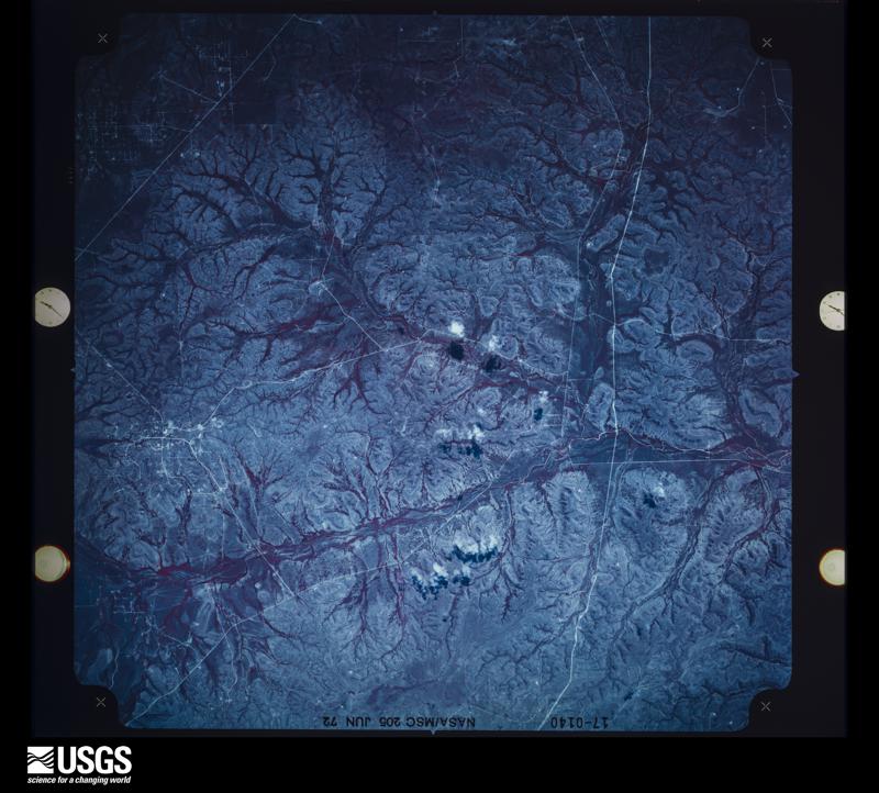
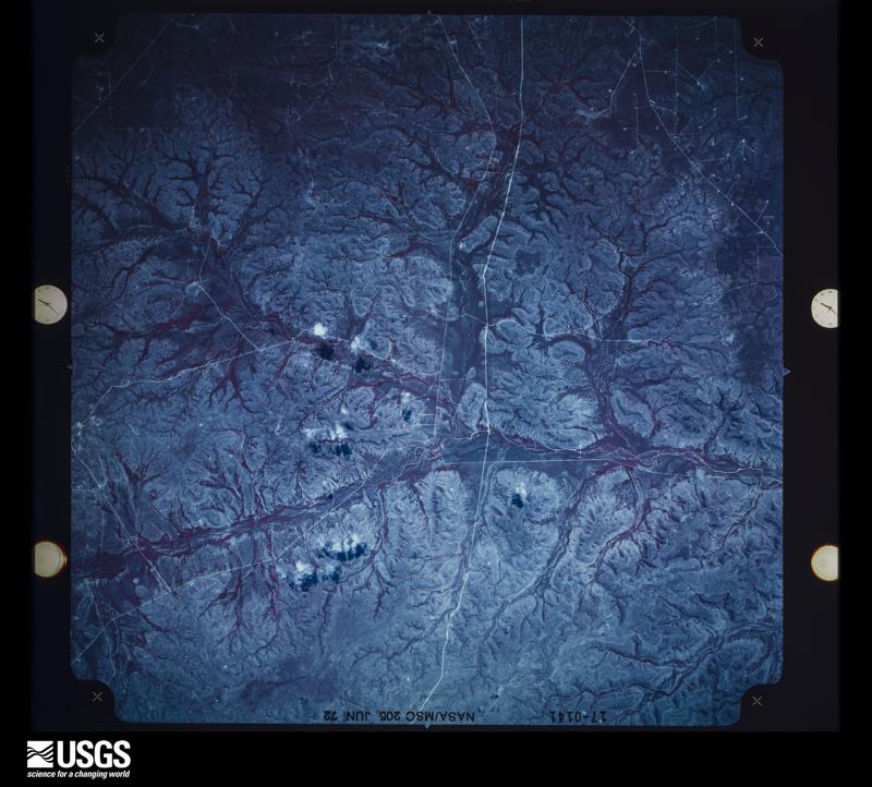
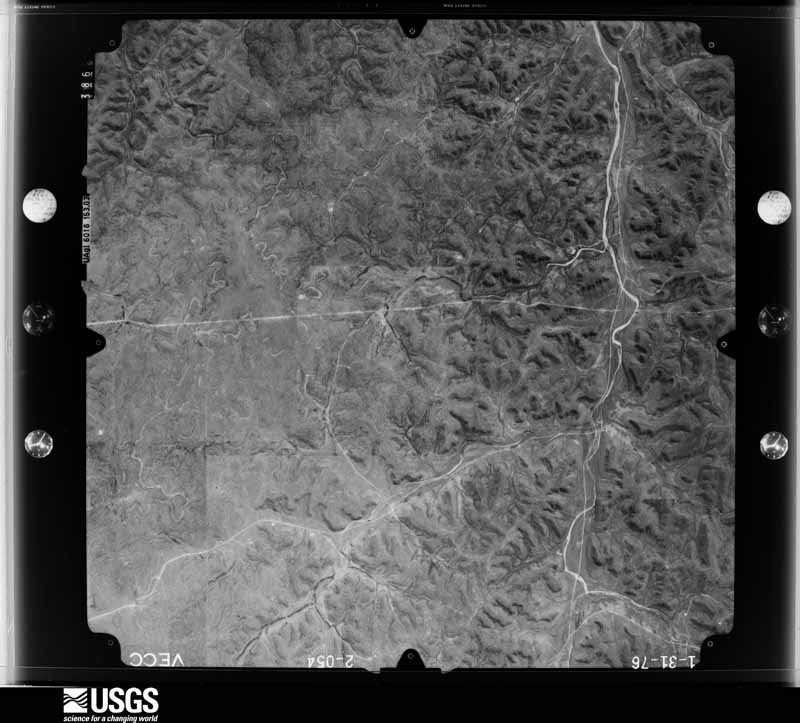
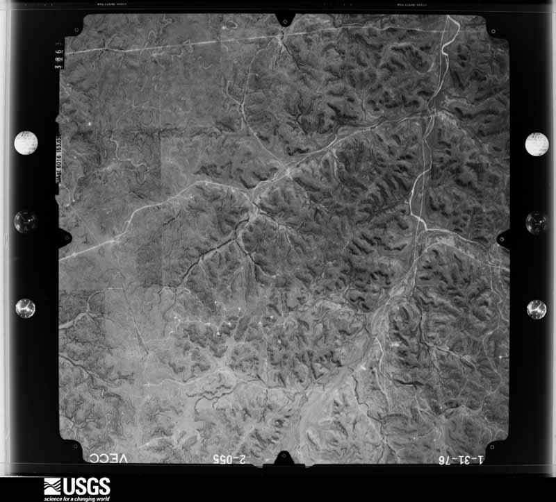
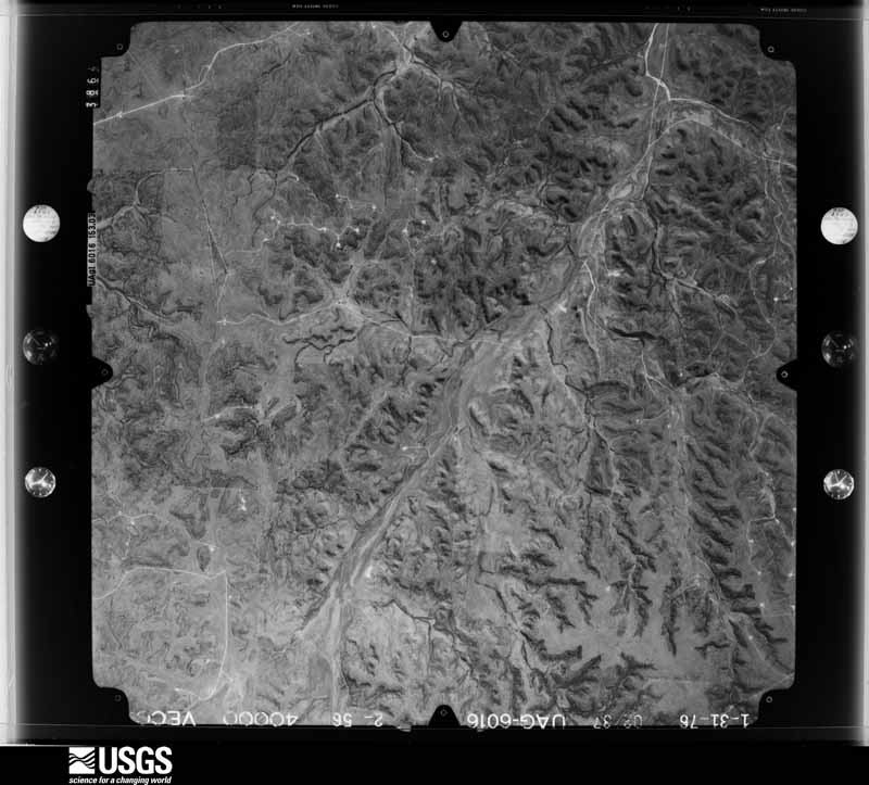
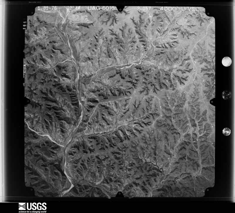
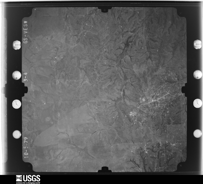
The thermometers that kept this county's weather, and the gages that measured the flow of its streams, as the federal records hold them. The extremes below are measured values from those records, not estimates.
Who lived here in 1950, one enumeration district at a time, as the Census Bureau described each district. Each row opens its official National Archives result, with Population Schedules and ED Maps available there.
Every wildfire the federal occurrence database records inside this county: 217 of them, burning about 256,604 acres. 76 started naturally and 2 were recorded as arson. Each settlement page carries the fires within five miles of it.
| Reported cause | Fires |
|---|---|
| Natural | 76 |
| Missing data/not specified/undetermined | 57 |
| Debris and open burning | 36 |
| Power generation/transmission/distribution | 22 |
| Equipment and vehicle use | 19 |
| Smoking | 3 |
| Recreation and ceremony | 2 |
| Arson/incendiarism | 2 |
The five largest, by the area the report gives. None of them was recorded as arson.
| Date | Cause | Size | Reported by | Name on the report |
|---|---|---|---|---|
| 30 April 2008 | Missing data/not specified/undetermined | 98,168 acres | Texas A & M Forest Service | HUCKABEE FIRE |
| 11 April 2011 | Power generation/transmission/distribution | 30,814 acres | Texas A & M Forest Service | PIERCE/SUTTON FIRE |
| 19 April 2020 | Missing data/not specified/undetermined | 25,958 acres | Texas A & M Forest Service | HOLCOMBE RD |
| 27 February 2011 | Missing data/not specified/undetermined | 22,958 acres | Texas A & M Forest Service | WILLIAMS FIRE |
| 25 February 2008 | Missing data/not specified/undetermined | 18,000 acres | Texas A & M Forest Service | not named |
| 6 August 2019 | Equipment and vehicle use | 6,983 acres | Texas A & M Forest Service | 190 EAST |
| 13 April 2018 | Power generation/transmission/distribution | 4,173 acres | Texas A & M Forest Service | CR 205 |
| 16 November 2007 | Equipment and vehicle use | 3,555 acres | Texas A & M Forest Service | HUDSPETH |
Every settlement page carries the fires within five miles of it - see the settlement index below.
The NOAA Storm Events Database holds 221 reports for this county, causing no deaths, no injuries and about $1,237,250 in recorded property damage. Each settlement page carries the reports that name it.
| Kind of event | Reports |
|---|---|
| Hail | 128 |
| Thunderstorm Wind | 45 |
| Flash Flood | 31 |
| Tornado | 13 |
| Flood | 4 |
The most serious of them, by death, then injury, then recorded damage. The accounts are quoted exactly as the forecast office filed them.
| When | Event | Place named | Harm | What the report says |
|---|---|---|---|---|
| October 2002 | Flash Flood | Southeast Portion | $1,000,000 | One to three inches of rain during the early morning hours of October 8th, in combination with heavy rains during the previous days, produced flooding and washouts of several Farm Roads and Highways in the southeastern portion of Crockett County. |
| June 2007 | Tornado (EF1) | Ozona | $70,000 | A tornado uprooted trees and damaged outbuildings and some mobile homes south of Ozona. |
| June 2006 | Thunderstorm Wind | Ozona | $25,000 | Damages were to trees, power lines, awnings and sheds. |
| April 2002 | Hail | Ozona | $25,000 | Hail up to the size of baseballs battered eastern Crockett County. At least one house suffered extensive damage, with many windows broken out and the roof destroyed. Several automobiles were also hard hit, losing their windshields and having extensive dent damage. |
| June 1982 | Tornado (F1) | not stated | $25,000 | no account filed |
| May 2007 | Flash Flood | Ozona | $10,000 | Flooding of numerous streets in Ozona due to flooding from the draw that runs through town. Highway 163 south of Ozona and highway 290 east of Ozona were closed due to flooding. The intersection of highways 163 and 137 located 3 miles to the north of Ozona was also flooded. |
| October 2002 | Flash Flood | Southeast Portion | $10,000 | Heavy rains of 2 to 4 inches fell on already saturated soils in the southeastern part of Crockett County. Water levels that had receeded just hours before quickly rose to flood roads and produced new washouts. |
| May 2000 | Thunderstorm Wind | Ozona | $10,000 | A retail store lost part of its roof when high winds blew through the county. |
| June 2000 | Flash Flood | Countywide | $10,000 | Rainfall totals of up to 8 inches were reported in Crockett County, flooding many roadways. Highway 163, Ranch Roads 1973 and 2083, and at least 5 other county roads were closed due to high waters. Road crews repaired at least 5 roads, as low water crossings were washed out. |
| May 1995 | Thunderstorm Wind | Ozona | $10,000 | ,,,,,,,,Hail (1.75) |
| May 2007 | Thunderstorm Wind | Ozona | $9,000 | A thunderstorm downburst overturned a small trailer and blew over a sign. |
| March 2004 | Thunderstorm Wind | Ozona | $9,000 | Roofs were damaged and power lines were snapped during high winds from a thunderstorm. |
| October 1998 | Tornado (F0) | Ozona | $7,500 | A brief tornado downed 15 power poles across western Crockett County. |
| April 1999 | Thunderstorm Wind | Ozona | $5,000 | High winds pulled a metal roof off of a mobile home in Ozona. Several signs around town were also damaged or destroyed. |
| May 1998 | Thunderstorm Wind | Ozona | $3,000 | Power poles were blown down |
| March 2007 | Hail | Ozona Muni Arpt | $2,000 | Fire department reported Golfball size hail northwest of Ozona. |
| May 2003 | Thunderstorm Wind | Ozona | $2,000 | Some power poles were knocked down due to the strong thunderstorm winds. |
| May 1998 | Thunderstorm Wind | Ozona | $2,000 | A hangar roof was blown off at the airport |
| March 2005 | Hail | Ozona | $1,000 | Golfball size hail fell in Ozona. |
| April 2019 | Hail | Ozona Muni Arpt | $500 | A person at Twistflower Ranch off of County Road 208 said that hail broke his windshield. He did not have an estimate as to the size of a hail at the time but when he went outside after sunrise, he saw golf ball size hail on the ground. |
| October 1998 | Thunderstorm Wind | Ozona | $500 | High winds broke large tree limbs off trees |
| June 1999 | Flash Flood | Ozona | $500 | no account filed |
| March 1979 | Tornado (F0) | not stated | $250 | no account filed |
| May 2025 | Hail | Ozona | - | Public reported baseball size hail. |
| August 2025 | Thunderstorm Wind | Ozona | - | A utility company reported 13 electrical power poles blown down. |
| March 2024 | Hail | Ozona Muni Arpt | - | Public reported quarter size hail. The time was estimated by radar. |
| February 2024 | Hail | Ozona Muni Arpt | - | Public reported golf ball size hail in Ozona. The report was relayed through a social media account. |
| May 2024 | Thunderstorm Wind | Ozona | - | A mesonet observation station measured a 69 mph wind gust. |
| May 2024 | Tornado (EF2) | Ozona | - | The tornado damaged several structures on Acton Ranch about|26 miles south-southwest of Ozona, Texas. The tornado uplifted|and destroyed the roof structure of a barn with concrete walls. |The tornado also lifted a heavy metal bulk feeder at least 5 |feet in the air and moved it at least 150 feet from its original |location. The tornado also snapped the trunk of a 150 year old |cottonwood tree. The estimated peak wind speed of the |tornado was 115 mph. |
| April 2024 | Hail | Ozona Muni Arpt | - | Public reported nickel to quarter size hail. The time was estimated by radar. |
| June 2023 | Thunderstorm Wind | Ozona | - | ASOS reported a 64 mph wind gust. |
| June 2023 | Thunderstorm Wind | Ozona Muni Arpt | - | A report of a wind gust of 64 mph from the outflow of a collapsing storm. |
| June 2023 | Hail | Ozona Muni Arpt | - | Public report of half dollar size hail was from mping. |
| June 2023 | Hail | Ozona Muni Arpt | - | Public report of ping pong size hail was from mping. |
| June 2023 | Hail | Ozona | - | The Park Service reported quarter size hail at Fort Lancaster State Historical Site. |
| June 2023 | Hail | Ozona | - | A trained spotter reported baseball size hail 25 miles south of Ozona. |
| June 2023 | Hail | Ozona Muni Arpt | - | The public reported tennis ball size hail 22 miles northwest of Ozona. |
| May 2023 | Hail | Ozona | - | A storm chaser reported hen egg size hail 24 miles southwest of Ozona. |
| May 2023 | Hail | Ozona | - | The Park Service reported golf ball size hail at the Escondido Draw Recreation Area, 24 miles west-southwest of Ozona. |
| May 2023 | Flash Flood | Ozona | - | The public reported road flooding and vehicles stranded. |
| October 2023 | Thunderstorm Wind | Ozona | - | A Mesonet observation site reported a 61 mph wind gust. |
| October 2022 | Flash Flood | Ozona Muni Arpt | - | Law enforcement reported 3 feet of water on the road, which resulted in two cars stalling out. Also, law enforcement reported a semi-trailer truck had water up to the radiator. |
| May 2022 | Hail | Ozona Muni Arpt | - | The public reported quarter to ping pong ball size hail just north of Ozona. |
| May 2021 | Thunderstorm Wind | Ozona | - | The public reported numerous broken tree limbs. There was roof damage to a warehouse building. Also, there was widespread power outages in Ozona. |
| May 2020 | Thunderstorm Wind | Ozona Muni Arpt | - | The Ozona AWOS recorded a wind gust of 64 mph. |
| April 2020 | Tornado (EF1) | Ozona | - | An EF-1 Tornado snapped large tree trunks and uprooted numerous trees across ranch country located south of Ozona. The tornado broke a cross member of a large utility pole and knocked down electrical lines. The tornado destroyed a deer blind and some fencing. The tornado damaged the awning of a mobile home and flipped the outdoor A/C unit. Special thanks to the all of the ranchers and Crockett County Fire Department for their assistance with this survey. |
| April 2019 | Hail | Ozona | - | A trucker reported golf ball size hail along Interstate 10. |
| April 2019 | Hail | Ozona | - | The Ozona Fire Department reported a lot of hail along with broken windshields in the fire station parking lot. |
| April 2019 | Hail | Ozona | - | A photo was sent to the NWS office showing large hail. |
| April 2019 | Hail | Ozona | - | A Facebook post was received indicating large hail. |
| May 2019 | Hail | Ozona | - | The Fire Department reported quarter size hail 17 miles south of Ozona. |
| May 2019 | Hail | Ozona | - | A NWS employee reported quarter size hail 19 miles south of Ozona. |
| May 2019 | Hail | Ozona Muni Arpt | - | The Fire Department reported golfball size hail 15 miles northwest of Ozona at Texas Highway 137 and Farm to Market Road 1964. |
| May 2019 | Hail | Ozona Muni Arpt | - | A trained spotter reported quarter size hail 9 miles northwest of Ozona. |
| May 2018 | Hail | Ozona | - | The Ozona Stockman newspaper forwarded a video on Facebook of hail stones breaking through three skylights at a residence. |
| May 2018 | Tornado (EF0) | Ozona | - | A tornado crossed from Val Verde County and tracked north to the Crockett/Val Verde County Line where it dissipated. The tornado damaged power lines. |
| September 2018 | Flood | Ozona | - | A tweet from the Texas Department of Public Safety reported State Highway 163, south of Ozona, was closed due to high water. |
| September 2018 | Flash Flood | Ozona | - | A photo from the Ozona Stockman Newspaper Facebook Page showed a flooded low water crossing with deep water in Ozona. |
| October 2018 | Flood | Ozona Muni Arpt | - | TxDOT reports State Highway 137 closed between US 190 and State Highway 163 due to flooding. |
| June 2017 | Thunderstorm Wind | Ozona | - | There were 20 power poles blown over and numerous large trees uprooted in Ozona. Also, some homes received minor roof damage. The time of damage was based on radar. |
Named settlements recorded in the Geographic Names Information System, each with the topographic sheets covering it. Villages, hamlets and abandoned places alike. Each is shown with the nearest named watercourse or landform and the survey quadrangle it falls on.
East Crockett census division · 76943 · Crockett Heights quadrangle
7 sheets, 1954 to 1985
West Crockett census division · 79781 · On Live Oak Creek · Fort Lancaster quadrangle
7 sheets, 1929 to 1985
West Crockett census division · 79781 · Bachelor Hill quadrangle
7 sheets, 1929 to 1985
East Crockett census division · 76943 · Double Mill Draw NW quadrangle
6 sheets, 1954 to 1985
East Crockett census division · 76943 · Near Gurley Draw · Ozona quadrangle
7 sheets, 1954 to 1985