 Block
BlockCrosby County, Texas
22 topographic sheets cover 15 settlements here.
Research this county
What the record shows
- 105 topographic sheet readings cover the county's settlements.
- The Geographic Names Information System records 15 populated places in this county; 15 are covered by at least one topographic sheet.
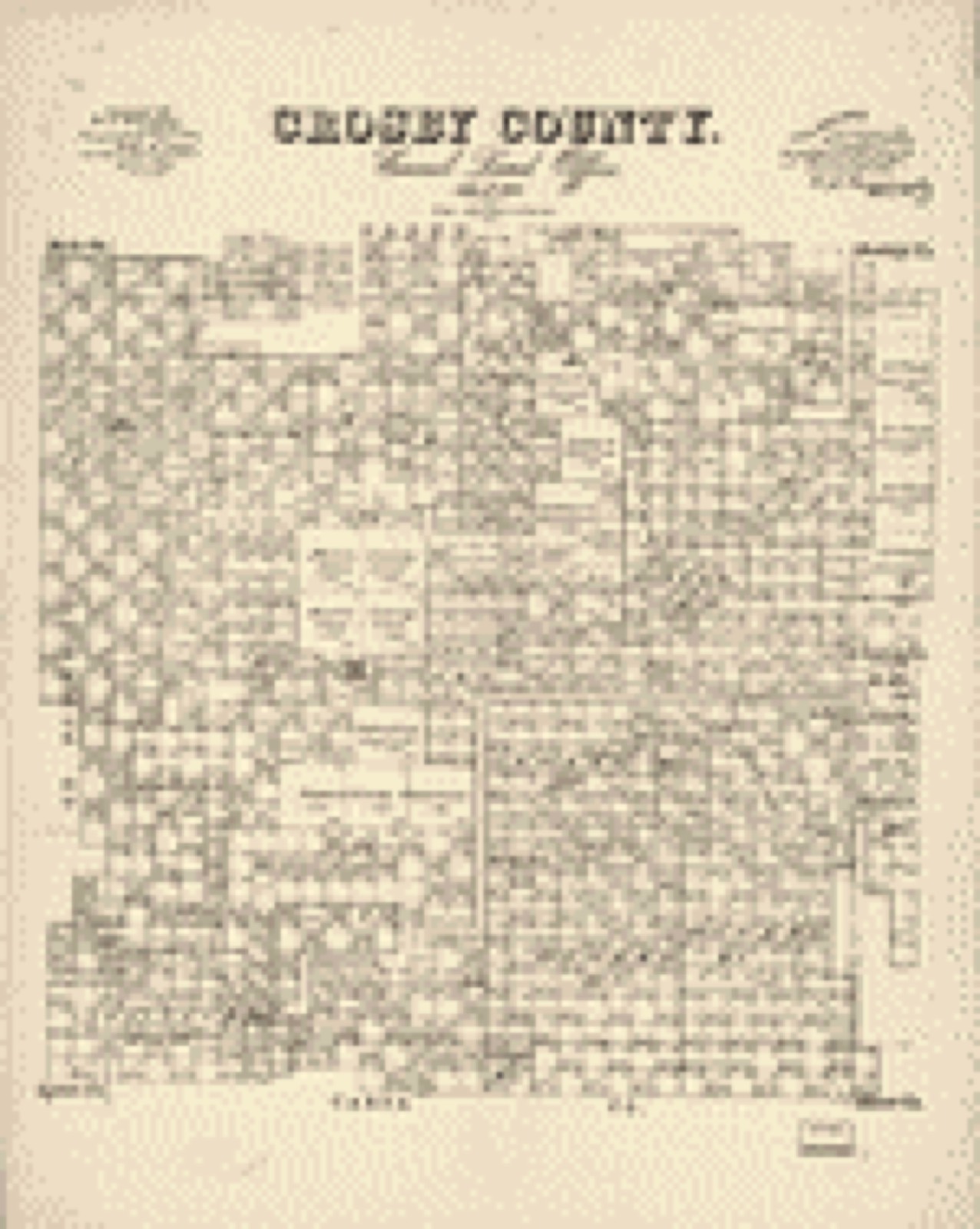
Bird's-eye views and land ownership maps
1Drawn when these were printed as single large sheets: the town seen from the air, and the county divided into its farms with every owner named. Each opens the original at the Library of Congress.
The county from the air
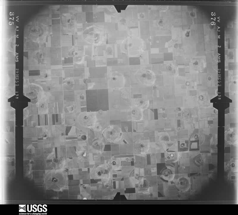
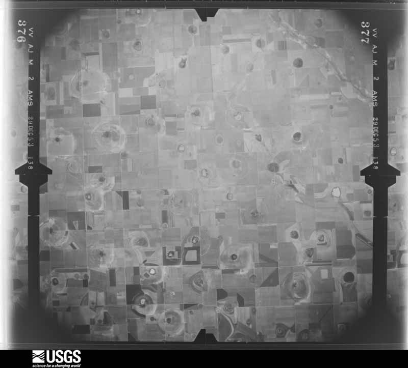
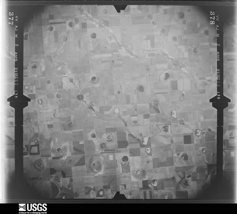
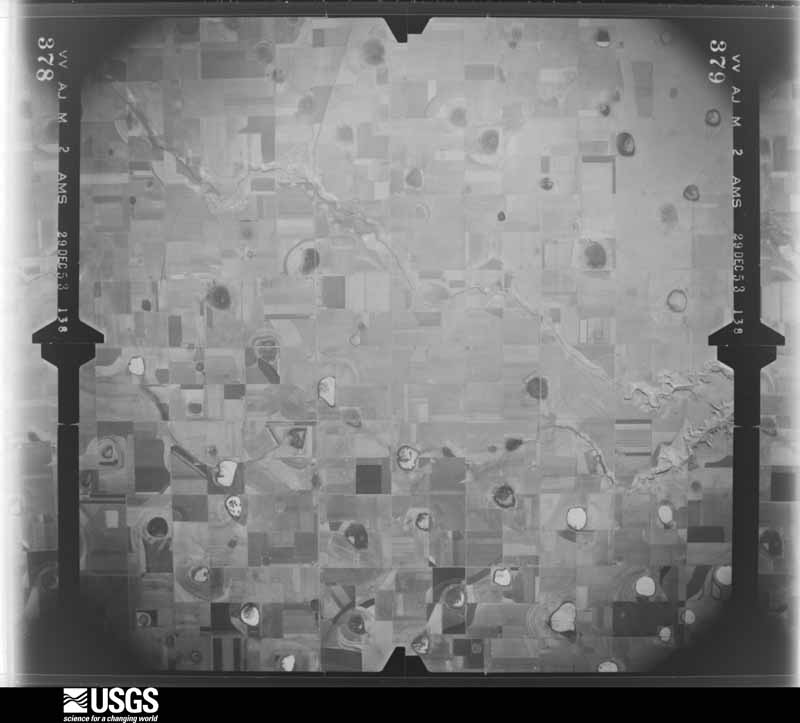
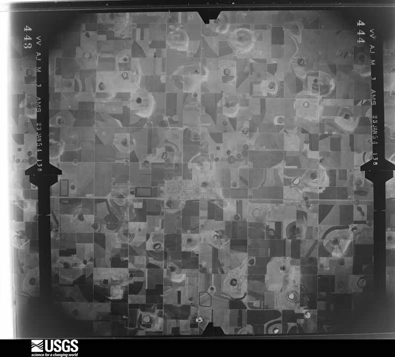
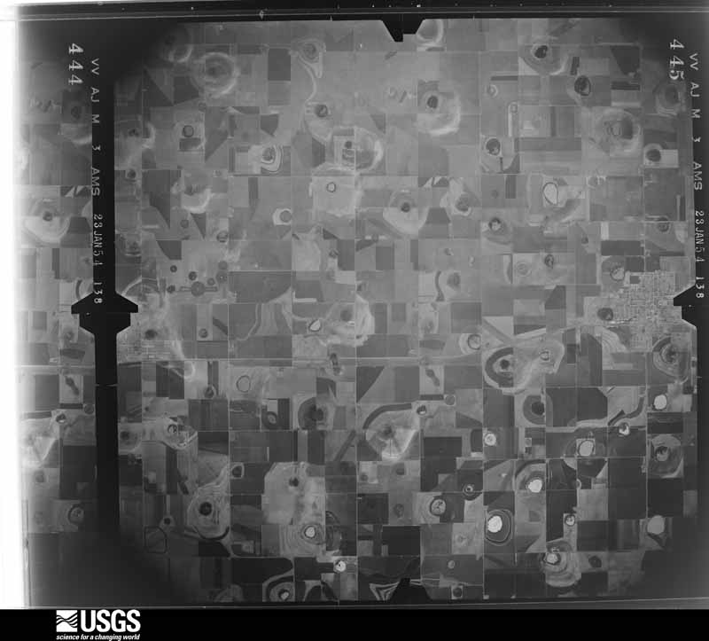
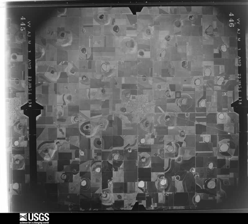
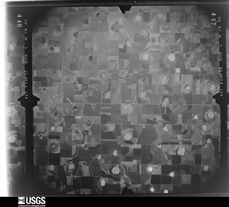
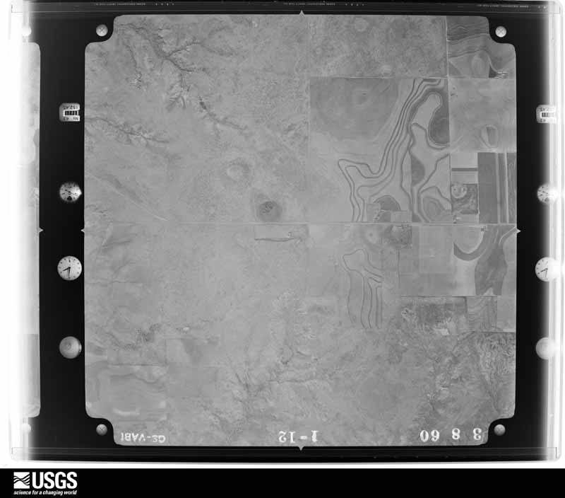
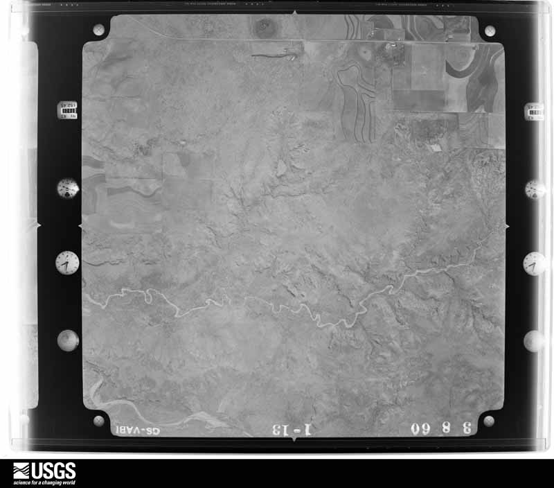
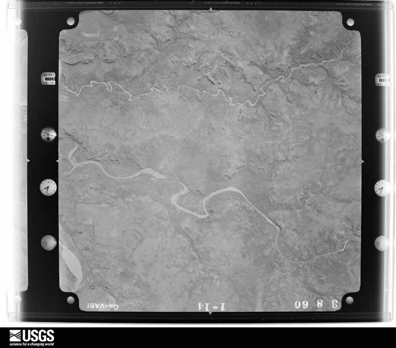
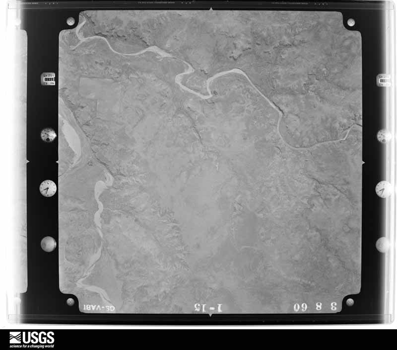
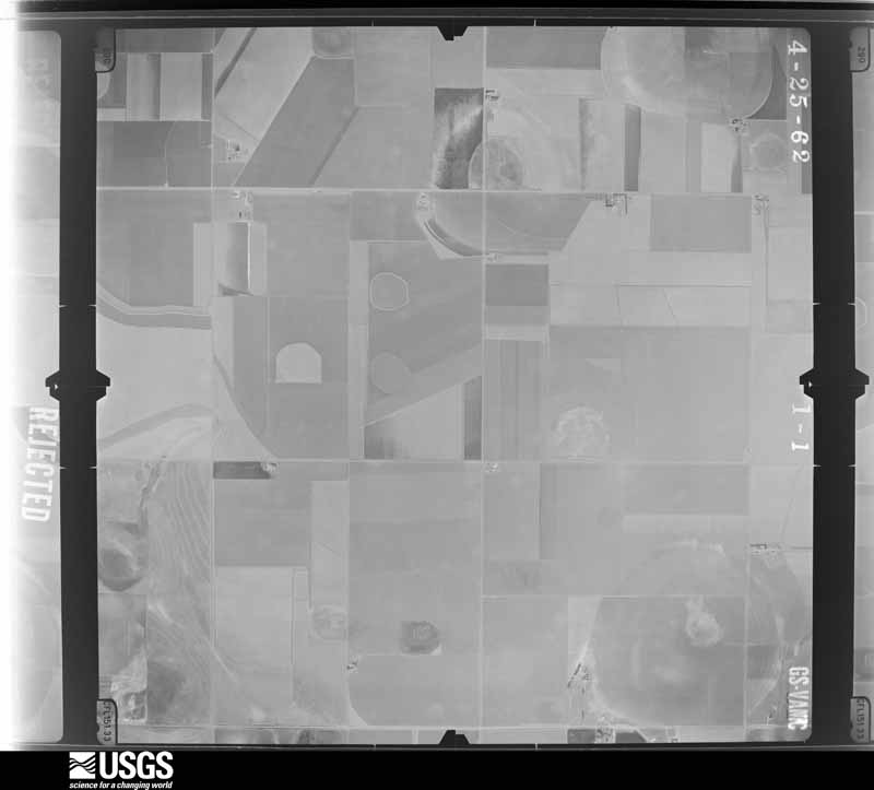
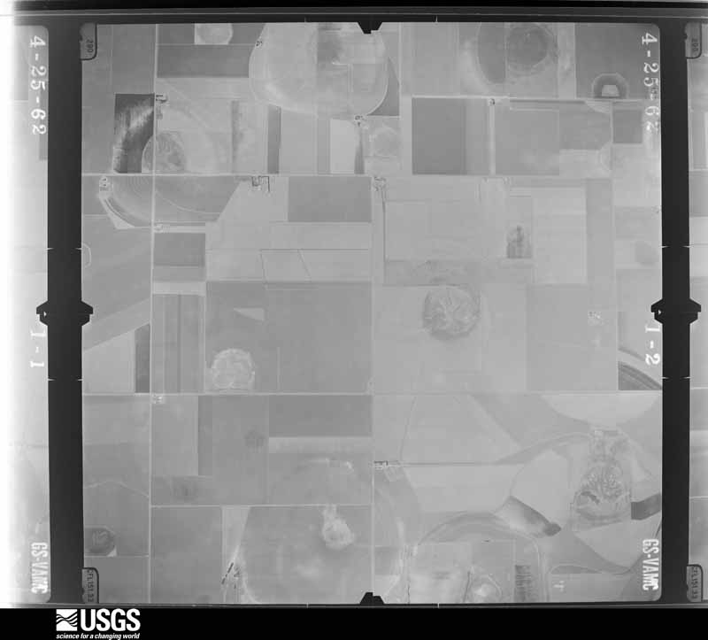
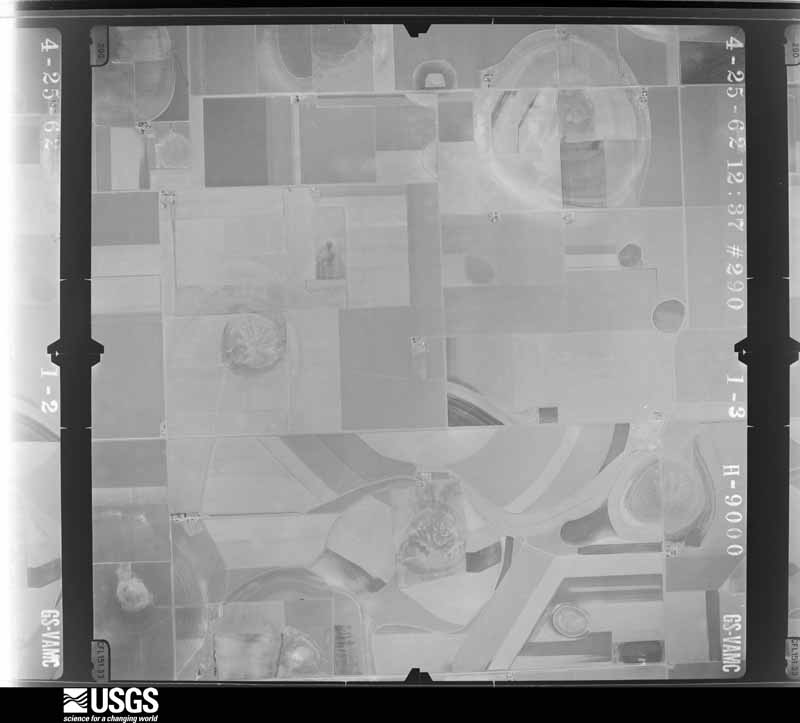
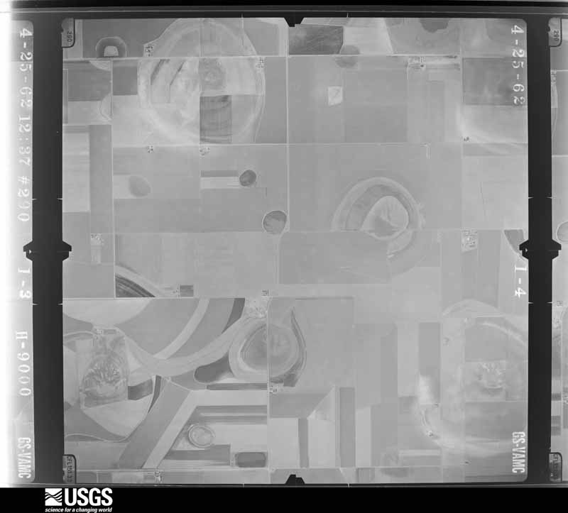
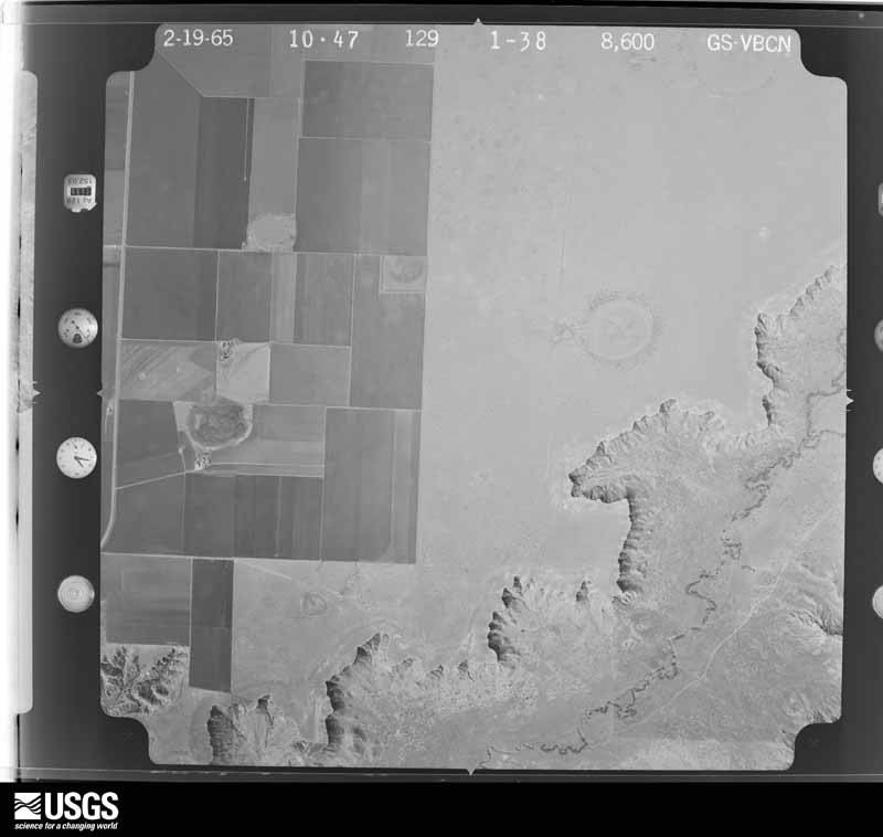
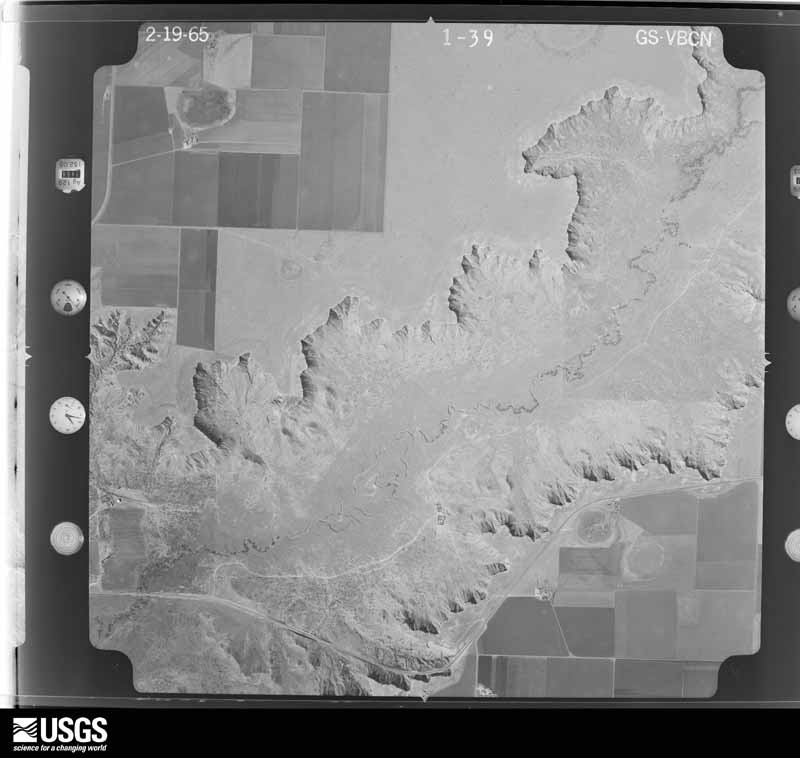
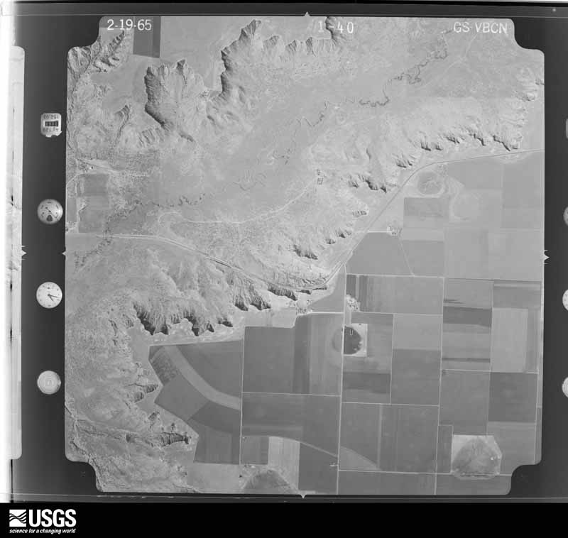
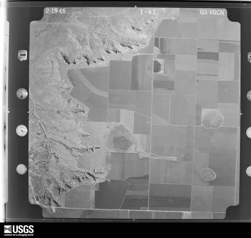
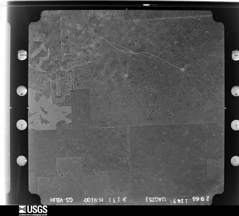
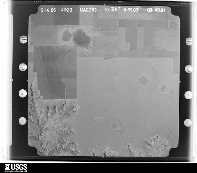
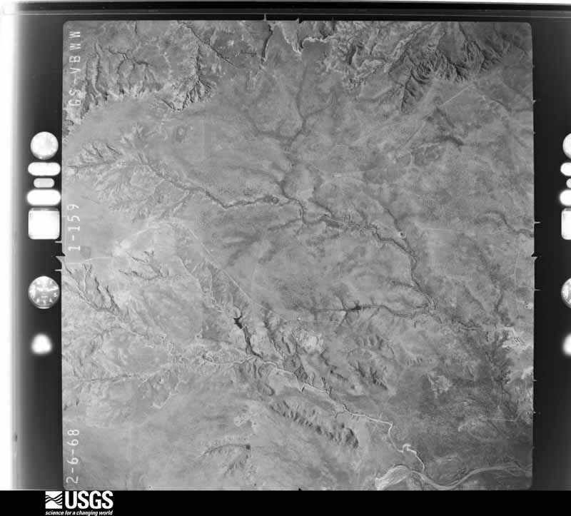
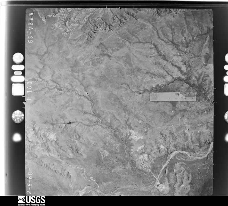
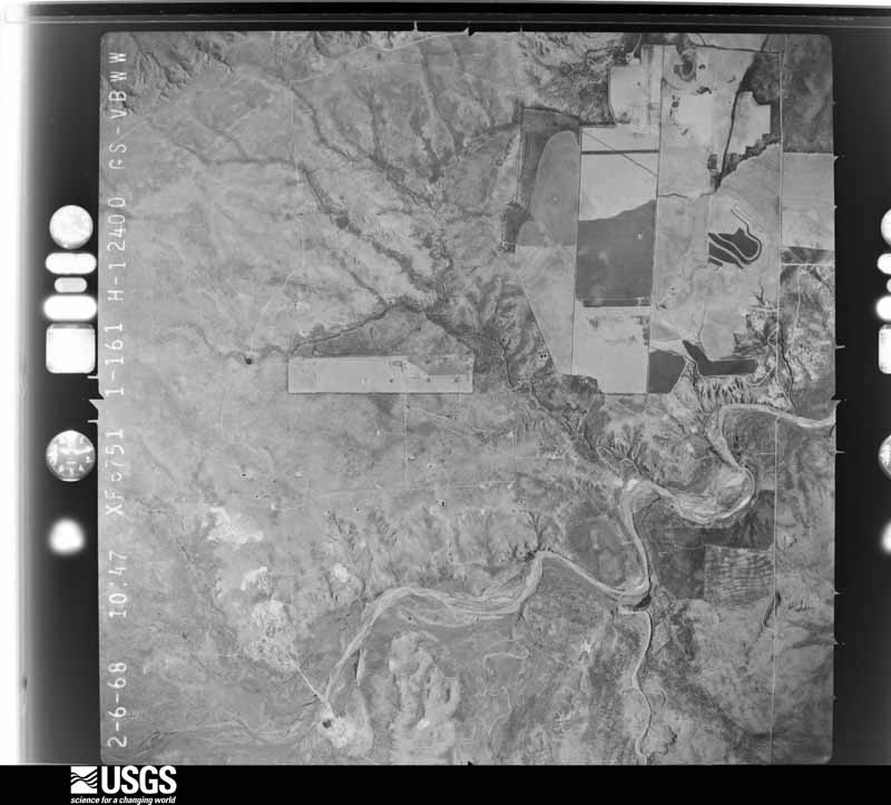
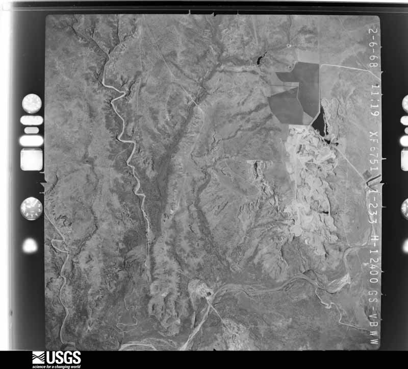
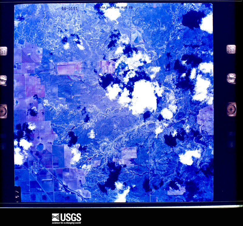
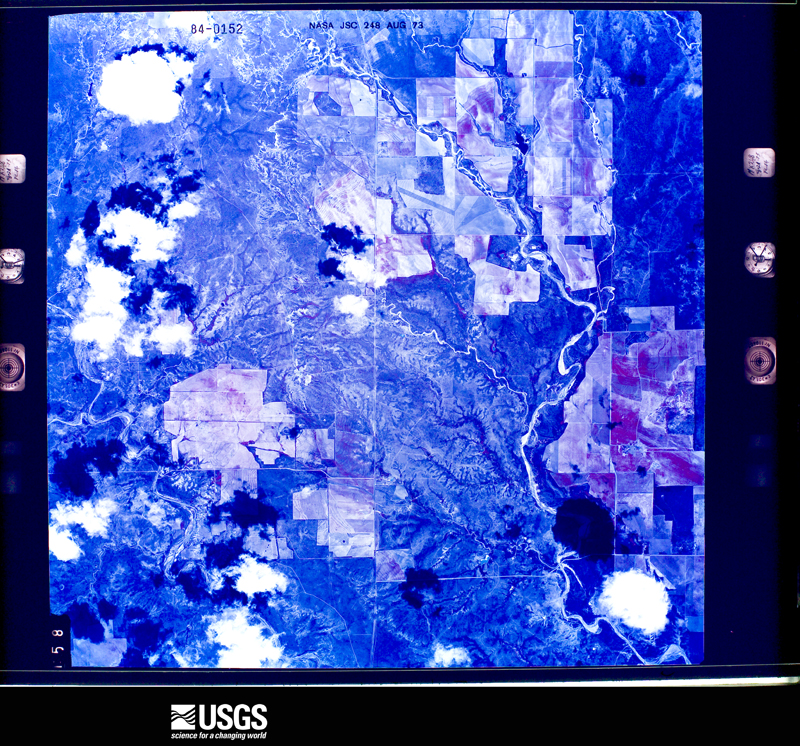
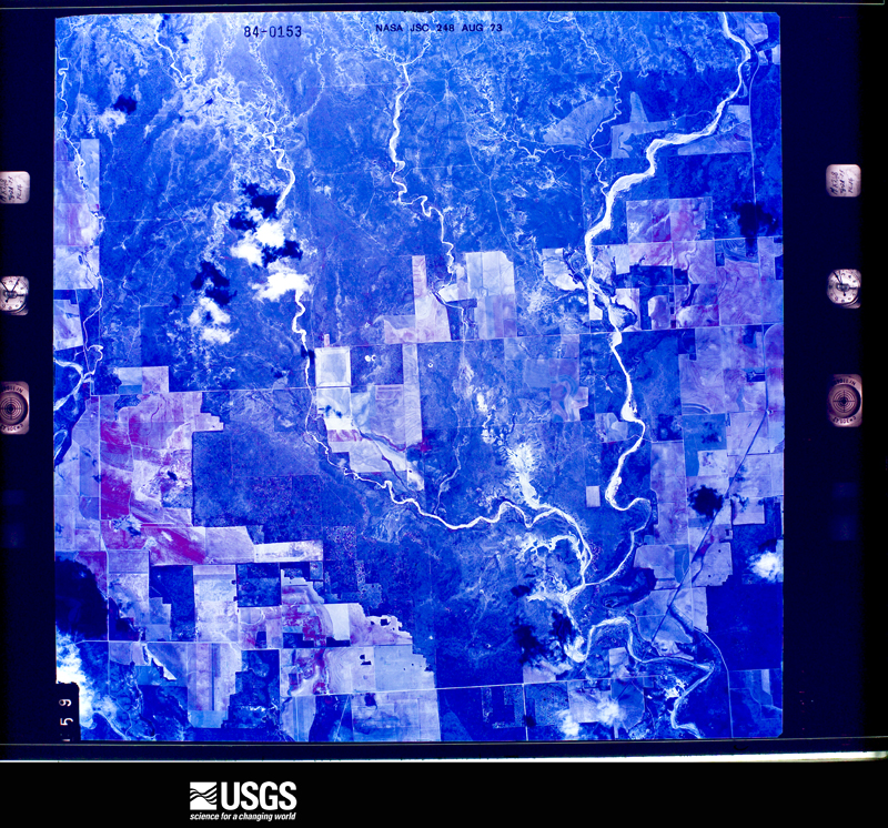
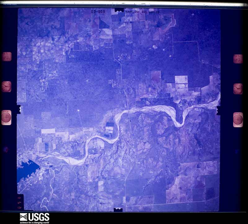
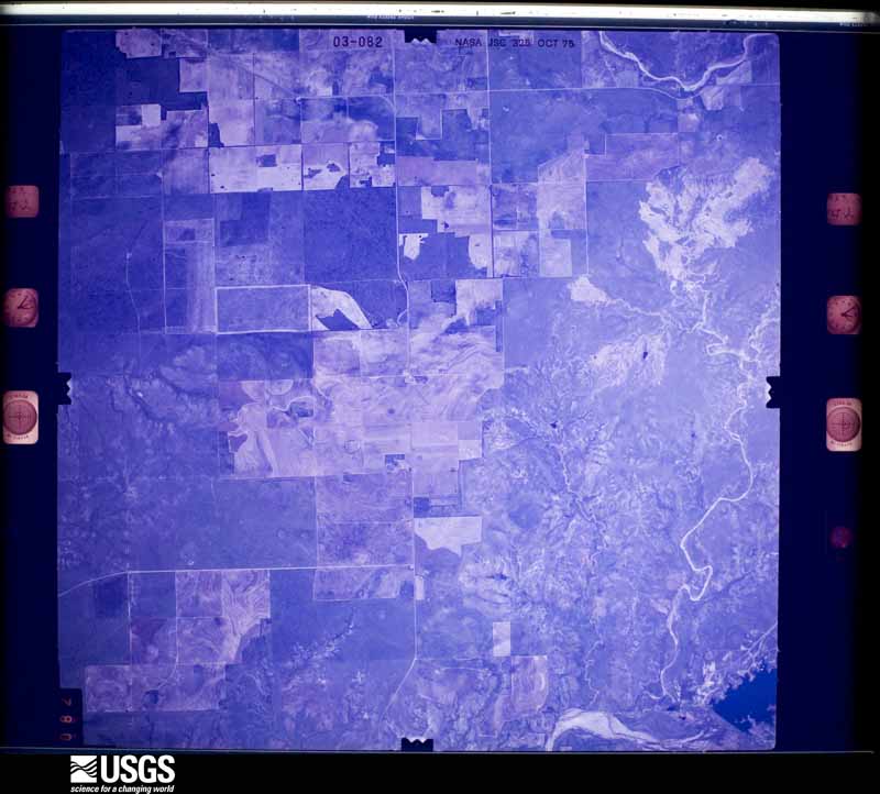
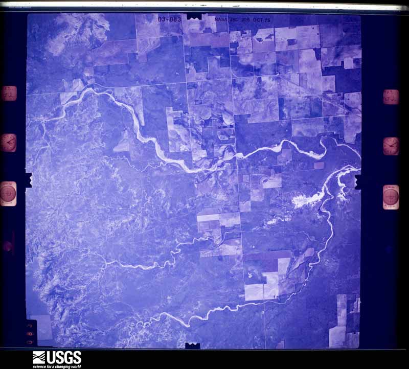
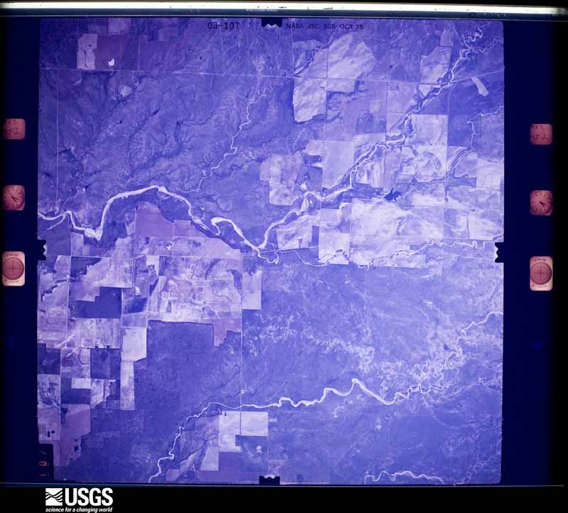
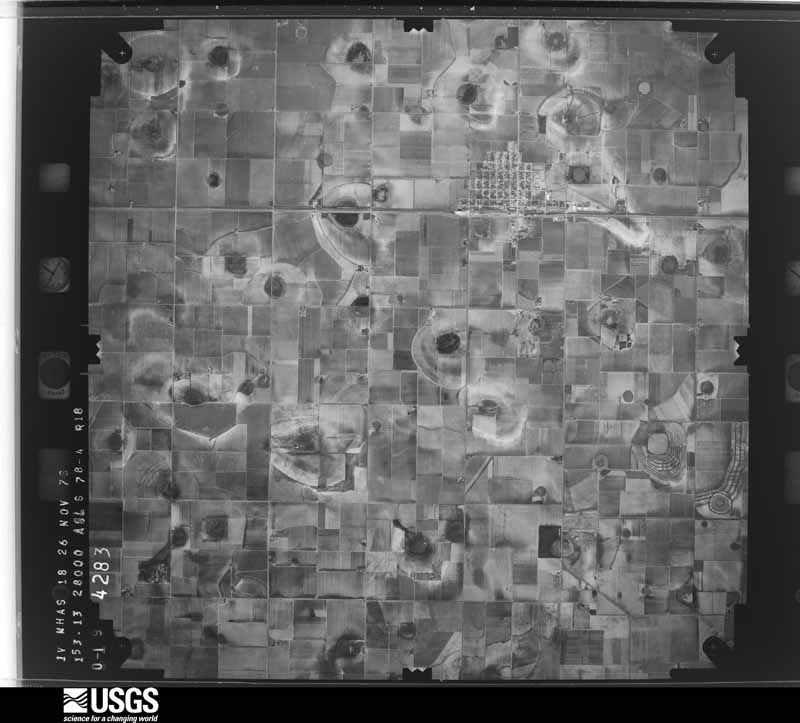
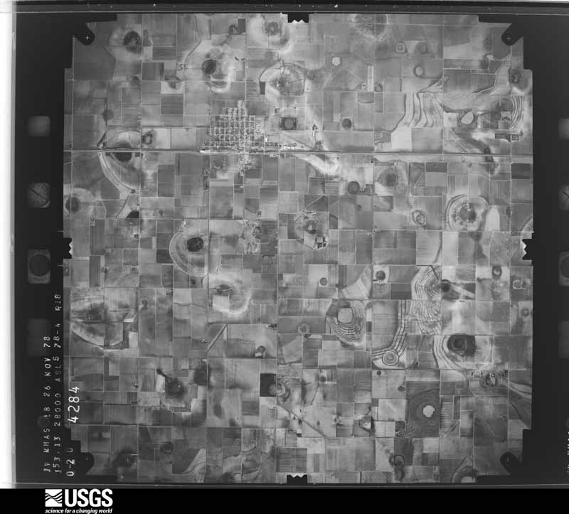
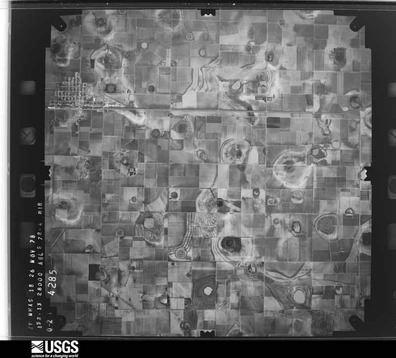
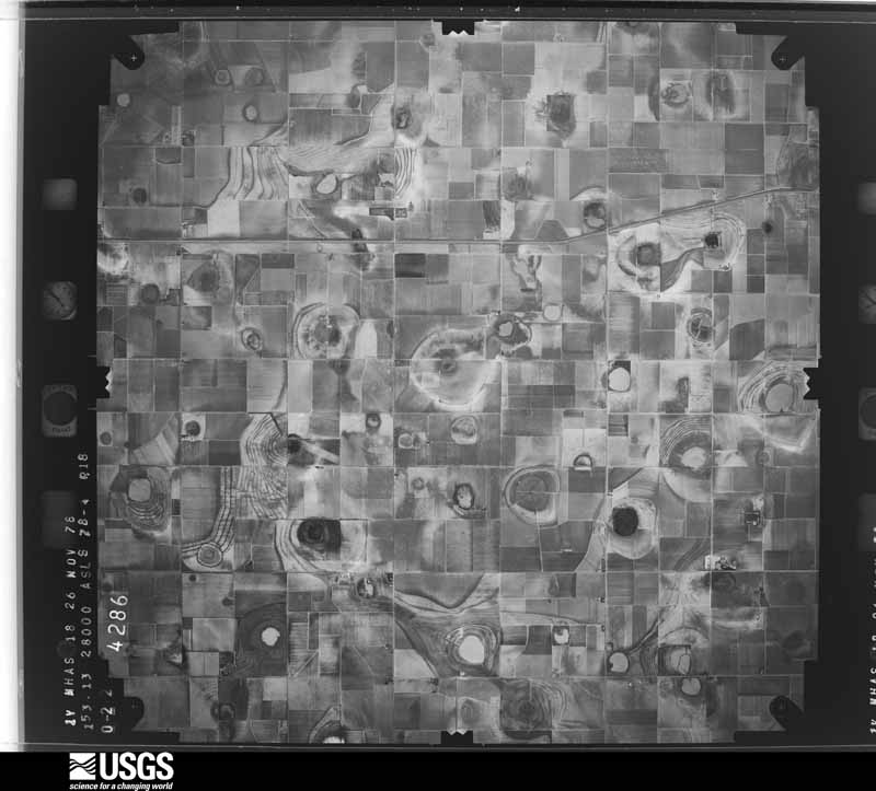
38 shownFlown by the U.S. Geological Survey between 1937 and 1989, the Aerial Photo Single Frames collection is the definitive mid-century view of the land: fields, roads and rivers as the camera saw them. The Survey holds 1,320 frames inside the rectangle that bounds this county; the 38 frames below were taken over the county itself, chosen across the decades of flights (at most four a year from that rectangle), so one flight cannot crowd out the rest. The full set is free to browse and download at EarthExplorer under the dataset Aerial Photo Single Frames.

Weather records
3 stationsThe thermometers that kept this county's weather, as the federal records hold them. The extremes below are measured values from those records, not estimates.
- CROSBYTON 1893 to 2026, hottest 45.0 C, coldest -25.6 C
- LORENZO 1947 to 1995
- WHITE RVR RSVR 1997 to 2026, hottest 45.0 C, coldest -18.3 C
The 1950 census, district by district
16 districtsWho lived here in 1950, one enumeration district at a time, as the Census Bureau described each district. Each row opens its official National Archives result, with Population Schedules and ED Maps available there.
- 54-1Commissioner's Precinct 1: Lorenzo town
- 54-2Ralls town: Ralls town - That part east of State Hwy. 207
- 54-3Ralls town - That part west of State Hwy. 207
- 54-4Commissioner's Precinct 1 - That par south of U.S. Hwy. 82, and east of Ralls - Cap Rock Rd., outside Ralls town
- 54-5Commissioner's Precinct 1 - That part north of U.S. Hwy. 82, outside Lorenzo and Ralls towns
- 54-6Commissioner's Precinct 1 - That part south of U.S. Hwy. 82, west of Ralls - Cap Rock Rd., outside Lorenzo and Ralls towns
- 54-7Commissioner' Precinct 2: Crosbyton city: Crosbyton city - That part Bounded by City limits; City limits; 5th; City limits
- 54-8Crosbyton city - That part Bounded by City limits, 5th; Berkshire Ave.; City limits; City limits
- 54-9Crosbyton city - That part Bounded by 5th; City limits; City limits; Berkshire Ave.
- 54-10Commissioner's Precinct 2 - That part east of White River
- 54-11Commissioner's Precinct 2 - That part west of White River, outside Crosbyton city
- 54-12Commissioner's Precinct 3: Commissioner's Precinct 3 - That part east of State Hwy. 207
- 54-13Commissioner 8 Precinct 3 - That part west of State Hwy. 207 and east of Farmer - Pleasant Hill School Rd.
- 54-14Commissioner' s Precinct 3 - That part west of Farmer - Pleasant Hill School Rd.
- 54-15Commissioner's Precinct 4: Commissioner's Precinct 4 - That part east of Cap Rock - Ralls Rd.
- 54-16Commissioner's Precinct 4 - That part west of Cap Rock - Ralls Rd.
Wildfire, 2006 to 2020
137 firesEvery wildfire the federal occurrence database records inside this county: 137 of them, burning about 9,780 acres. 26 started naturally and 1 was recorded as arson. Each settlement page carries the fires within five miles of it.
| Reported cause | Fires |
|---|---|
| Missing data/not specified/undetermined | 45 |
| Equipment and vehicle use | 36 |
| Natural | 26 |
| Debris and open burning | 18 |
| Power generation/transmission/distribution | 6 |
| Smoking | 5 |
| Arson/incendiarism | 1 |
The five largest, by the area the report gives. None of them was recorded as arson.
| Date | Cause | Size | Reported by | Name on the report |
|---|---|---|---|---|
| 12 March 2006 | Missing data/not specified/undetermined | 1,500 acres | Texas A & M Forest Service | not named |
| 17 August 2017 | Natural | 1,200 acres | Texas A & M Forest Service | CHIMNEY CREEK |
| 7 September 2009 | Natural | 1,000 acres | Texas A & M Forest Service | DON CRUMP 651 SOUTH |
| 11 March 2015 | Missing data/not specified/undetermined | 1,000 acres | Texas A & M Forest Service | MCNEAL FIRE |
| 5 March 2018 | Missing data/not specified/undetermined | 577 acres | Texas A & M Forest Service | WHITE RIVER |
| 18 August 2019 | Natural | 515 acres | Texas A & M Forest Service | KELLY RANCH |
| 24 February 2011 | Natural | 400 acres | Texas A & M Forest Service | SANDERSON RANCH |
| 27 January 2008 | Equipment and vehicle use | 320 acres | Texas A & M Forest Service | not named |
Every settlement page carries the fires within five miles of it - see the settlement index below.
Storms, 1955 to 2025
60 of 402 shownThe NOAA Storm Events Database holds 402 reports for this county, causing 1 death, 3 injuries and about $9,122,740 in recorded property damage. Each settlement page carries the reports that name it.
| Kind of event | Reports |
|---|---|
| Hail | 201 |
| Thunderstorm Wind | 117 |
| Tornado | 61 |
| Flash Flood | 10 |
| Flood | 8 |
| Heavy Rain | 3 |
| Funnel Cloud | 1 |
| Dust Devil | 1 |
The most serious of them, by death, then injury, then recorded damage. The accounts are quoted exactly as the forecast office filed them.
| When | Event | Place named | Harm | What the report says |
|---|---|---|---|---|
| April 1997 | Tornado (F1) | Kalgary | 1 killed, 1 hurt, $25,000 | no account filed |
| March 1979 | Tornado (F1) | not stated | 2 hurt, $250,000 | no account filed |
| June 2018 | Thunderstorm Wind | Ralls | $3,500,000 | A rapidly intensifying thunderstorm produced an intense downburst that struck the west half of the city of Ralls before continuing south for about one mile south of Ralls. In addition to disrupting power to 2400 people in the area for much of the night and inflicting various degrees of damage to many homes and buildings, three large cotton compress buildings on the west side of town were completely destroyed with debris strewn up to 1/4 mile south of Highway 82. The extent of debris required the closure of the 4-lane highway for nearly one hour until debris could be cleared for passage. A nearby power sub-station belonging to Excel was heavily damaged and a total of 42 power poles were downed. Radar and debris patterns observed from the NWS storm survey revealed a classic downburst signature with destructive wind gusts determined to be as high as 90 mph, with sustained speeds likely ranging between 50 and 70 mph for roughly two minutes. |
| September 2017 | Thunderstorm Wind | Estacado | $1,500,000 | A large and particularly destructive macroburst (downburst winds more than 2.5 miles in width) tracked east across most of northern Crosby County this evening, accompanied by winds ranging from 80 to 100 mph at times. Data from radar and damage patterns during a NWS storm survey indicated these intense winds were about five miles in width, and traveled for a distance of almost 30 miles. The community of Cone was struck especially hard by these winds. An older, single family home had a west-facing wall partially collapse, and the roof to a grain store was blown off and deposited on US Highway 62 forcing a temporary closure of the road. Additional damage in Cone consisted of several downed power lines, about ten snapped utility poles, a few downed trees, light to moderate building damage, and one metal shed that was destroyed and had its contents of antique tractors and vehicles damaged. The NWS damage survey also noted several dozen more damaged power lines throughout northern Crosby County, along with multiple center pivot irrigation systems overturned. Cotton, corn, and sorghum crops sustained light to moderate damage, however some crops used as silage were completely flattened by the intense winds. Combined losses in Crosby County alone are estimated to be nearly $2 million USD. |
| May 2018 | Hail | Crosbyton | $500,000 | Extensive hail damage was observed in the city of Crosbyton. Many building suffered heavy roof and siding damage from wind driven hail up to the size of baseballs. Most south facing windows were shattered in town along with significant damage to vehicles. |
| June 2018 | Hail | Ralls | $500,000 | Very large hail up to baseball size driven sideways by intense winds caused extensive damage to many north-facing windows, cars and home siding in Ralls. The hail also caused severe damage to the Texas Tech University West Texas mesonet on the south side of Ralls. |
| May 2005 | Tornado (F3) | Ralls | $300,000 | F3 tornado in Ralls.A strong tornado developed approximately 9 miles to the southwest of Ralls around 8:40 PM and tracked to the northeast for six miles. Along the path of this tornado, several power poles were blown over or snapped and a few center pivots were overturned or twisted. A residence was completely destroyed with debris entirely removed from the foundation. The majority of the debris from this structure was blown to the northeast approximately 10 to 30 feet from the foundation...with other related debris dispersed over a mile away. Two pickup trucks were lifted and deposited upside down 5 to 30 feet from former locations. Trees were mud-splattered and stripped of bark with large branches completely torn off trunks. Center pivot irrigation systems were either blown over or twisted in surrounding fields...however some were left unscathed to the northeast of this tornado. Additional debris associated with this tornado was also deposited in a field across from US Highway 62/82 before dissipating. |
| June 2002 | Hail | Ralls | $250,000 | Spotters affiliated with the Crosby County Sheriff's office reported baseball size hail. |
| May 1982 | Tornado (F1) | not stated | $250,000 | no account filed |
| May 1981 | Tornado (F2) | not stated | $250,000 | no account filed |
| May 1981 | Tornado (F2) | not stated | $250,000 | no account filed |
| May 1981 | Tornado (F2) | not stated | $250,000 | no account filed |
| June 2018 | Hail | Crosbyton Paulder Ar | $100,000 | The hail covered the ground and damaged many west-facing windows in town. Many vehicles also sustained light to moderate damage. Although less destructive than the onslaught of baseball size hail in the city just 2.5 weeks earlier, this hail was insult to injury for many property and business owners. |
| June 2011 | Thunderstorm Wind | Lorenzo | $100,000 | Law enforcement personnel estimated wind gusts to 70 mph in Ralls. There was a report of one dozen power poles downed south of Lorenzo as well as a center pivot irrigation system destroyed. |
| July 2010 | Flash Flood | Lorenzo | $100,000 | Local law enforcement officials initially reported flash flooding along U.S. Highway 82 between Lorenzo and Ralls, where several cars were reportedly stalled in flowing flood waters and high-water rescues were underway. Portions of that highway remained impassable through at least 02:35 CST. Additional motorists were stranded in flowing flood waters along Texas Highway 207 near Ralls.||Flash flooding in Blanco Canyon resulted in dramatic run-off and swelling of the White River. This run-off and associated river rises caused unusually high water flows at Silver Falls along the Caprock escarpment near U.S. Highway 82 east of Crosbyton, which persisted well into the daylight hours of the 4th. ||No injuries were reported. |
| May 2005 | Tornado (F2) | Ralls | $100,000 | F2 tornado in Ralls.In assessing the damage from the F3 tornado, the debris field diminished in areal coverage as the tornado tracked farther to the northeast along the end of its path. Damage assessment and public accounts of the storm suggested the tornado weakened and lifted. Meanwhile, a second tornado developed. This occurrence coincided with a break in the debris field observed during the Survey. This cycle of one tornado weakening and lifting while another tornado forms to the right of the former path is typical in well-organized tornadic thunderstorms. This second tornado developed approximately 1.5 miles west of Ralls and tracked to the north and northwest before dissipating three miles north of Ralls. The tornado damaged a residence and a nearby barn. Two thousand pound bales of hay were tossed from one side of US Highway 62/82 to the other as the tornado scattered debris to the south and southwest across an adjacent field. In addition, a vehicle was overturned on the property within debris from the residence and power poles were either blown down or snapped and center pivots overturned. |
| June 2003 | Hail | Ralls | $100,000 | Golfball to baseball size hail broke windows at the elementary school and damaged buildings in town. |
| May 2002 | Hail | Crosbyton | $75,000 | The Crosby County Sheriff's Office reported golfball size hail. |
| May 2002 | Hail | Crosbyton | $75,000 | The Crosby County Sheriff's Office reported golfball size hail. |
| April 2010 | Thunderstorm Wind | Crosbyton | $50,000 | Trained storm spotters reported that damaging thunderstorm winds flipped a cotton trailer and destroyed a barn near the Silver Falls Roadside Park on U.S. Highway 82 east of Crosbyton. |
| April 2003 | Hail | Crosbyton | $50,000 | The NWS Cooperative Observer in Crosbyton reported two inch diameter hail. |
| May 2002 | Hail | Ralls | $50,000 | The Crosby County Sheriff's Office reported golfball size hail. The hail damaged the roofs of homes and automobiles in town and also destroyed cotton crops just outside town. |
| July 1998 | Hail | Crosbyton | $35,000 | no account filed |
| May 2018 | Hail | Kalgary | $30,000 | Many windshields were broken in White River Lake and at least one house window was shattered. |
| April 2003 | Thunderstorm Wind | Crosbyton | $30,000 | Strong thunderstorm wind caused severe damage to the roofs of several houses and blew down trees and power lines in town. |
| October 2000 | Thunderstorm Wind | Cone | $30,000 | Strong wind damaged the roof of the school, destroyed a carport, damaged the roof of a home, and blew down trees. |
| June 2018 | Thunderstorm Wind | Crosbyton | $25,000 | A total of 12 power poles were damaged in Crosbyton. |
| May 2015 | Hail | Crosbyton Muni Arpt | $25,000 | Baseball size hail was observed five miles south of Crosbyton. Some vehicles were heavily damaged. |
| June 2013 | Thunderstorm Wind | Lorenzo | $25,000 | A meteorologist with the Texas Tech University West Texas mesonet group reported a wind gust to 80 mph in Lorenzo. Additionally, a roof was torn off of a warehouse in Lorenzo. |
| April 2003 | Hail | Ralls | $25,000 | The Crosby County Sheriff's Office reported golfball size hail. |
| June 1989 | Tornado (F3) | not stated | $25,000 | no account filed |
| May 1982 | Tornado (F0) | not stated | $25,000 | no account filed |
| April 1978 | Tornado (F1) | not stated | $25,000 | no account filed |
| May 2013 | Thunderstorm Wind | Cone | $20,000 | A swath of destructive winds in the rear flank downdraft of a supercell exited Floyd County and engulfed much of northern Crosby County for at least 45 minutes. The slow movement of the supercell and its eventual collapse near Crosbyton prolonged the duration and intensity of these winds. Wind gusts in Crosbyton were measured as high as 77 mph resulting in scattered minor structural damage. Several tree limbs were broken and a few trees were completely snapped or uprooted. Multiple power outages resulted from snapped power poles throughout portions of northern Crosby County. These fierce winds also created a dangerous haboob that produced near zero visibility in blowing dust for several minutes. An unknown quantity of young grain crops in the area were damaged or destroyed after being sand blasted by wind and dust. |
| June 2006 | Thunderstorm Wind | Crosbyton | $20,000 | A complex of convection produced widespread strong to severe winds over the central and southern South Plains region of west Texas during the afternoon hours of the 22nd. The public initially reported thunderstorm wind gusts that were estimated to exceed 60 MPH in rural portions of northeastern Crosby County at 14:18 CST. By 14:23 CST, local law enforcement officials had reported that numerous utility poles and wires had been blown down along Farm to Market Road 651, and that electricity outages were widespread in the vicinity of Ralls and Crosbyton. Severe thunderstorm winds were observed to continue eastward over northern Crosby County during the next twenty minutes. At 14:45 CST the West Texas Mesonet site near Ralls recorded a gust up to 61 MPH. No additional damage was reported. |
| May 1999 | Hail | Owens | $20,000 | no account filed |
| July 2009 | Thunderstorm Wind | Crosbyton | $15,000 | Law enforcement officials reported that thunderstorm winds broke a few utility poles in Crosbyton. The event time is estimated. |
| March 2007 | Flash Flood | Lorenzo | $15,000 | Numerous reports of flash flooding were reported along U.S. Highway 62/82 between Lorenzo and Crosbyton. Flowing flood waters along that highway contributed to a vehicle accident that resulted in two injuries. |
| June 2006 | Thunderstorm Wind | Crosbyton | $15,000 | The Crosby County Sheriff's Office reported that damaging thunderstorm winds blew down several power poles and utility wires along Farm to Market Road 651 north of Crosbyton. A chimney was additionally blown down, damaging a nearby residence. |
| March 2004 | Thunderstorm Wind | Owens | $15,000 | Strong thunderstorm wind snapped eight power poles on Highway 207 north of Caprock. |
| May 2015 | Flash Flood | Kalgary | $10,000 | A supercell thunderstorm, which initiated west of Post in Garza County, moved northeast to near Kalgary and White River Lake. This storm became nearly stationary, producing radar estimated rainfall as high as six to eight inches in a 2 hour period. A NWS Storm Survey was conducted the following day, finding water still flowing across several farm to market roads as well as numerous areas of mud. One of these actually caused a road grader to become stuck while trying to remove mud off of a roadway near Kalgary. A high water rescue was also performed in this area the previous night. The abundant rainfall brought swiftly flowing water back to nearby portions of the Brazos River. |
| July 2004 | Thunderstorm Wind | Crosbyton | $10,000 | Strong thunderstorm wind downed power lines in town. |
| April 2003 | Thunderstorm Wind | Lorenzo | $10,000 | Strong thunderstorm wind caused severe damage to the roof of a house. |
| June 1999 | Tornado (F1) | Crosbyton | $10,000 | Crosbyton Fire Department reported that a brief tornado touchdown damaged an irrigation system north of town. No NWS survey was conducted. |
| May 2016 | Thunderstorm Wind | Ralls | $9,000 | The fire department in Ralls reported several power lines pushed over along Texas State Highway 114 west of Ralls. |
| May 2008 | Thunderstorm Wind | Crosbyton | $5,000 | Local newspaper accounts indicated that damaging thunderstorm winds accompanied a complex of thunderstorms northeastward over portions of Crosby County. Reports suggest that a number of storage sheds were destroyed and trees were damaged between Crosbyton and Cone by winds estimated to exceed 60 mph. Event times are estimated based on Doppler radar imagery. |
| July 2007 | Thunderstorm Wind | Ralls | $5,000 | |Thunderstorm winds resulted in minor damage in Ralls. Reports indicated that at least one heavy outdoor structure was damaged. No injuries were reported. |
| June 2000 | Flash Flood | Ralls | $5,000 | Portions of Highway 62/82 were flooded and closed. Two cars were stranded in the high water. |
| December 1993 | Thunderstorm Wind | Crosbyton | $5,000 | no account filed |
| May 2011 | Hail | Crosbyton | $3,000 | Law enforcement reported a few golf ball sized hail stones. There was partial damage to a law enforcement vehicle. |
| May 2002 | Tornado (F0) | Ralls | $3,000 | A tornado destroyed a barn on the west side of town. |
| May 2019 | Flood | Ralls | $1,000 | Law enforcement in Crosbyton reported that numerous roads in Crosby County were flooded and impassable. This area had received torrential rainfall from training thunderstorms over a two hour period. |
| April 2015 | Hail | Lorenzo | $500 | A storm chaser and public citizen reported hail of ping pong ball size to golf ball size as a supercell thunderstorm moved from south of Lorenzo to east of Caprock. A car's windshield and a window of a nearby building were damaged. |
| May 1996 | Thunderstorm Wind | Lorenzo | $250 | no account filed |
| May 1982 | Tornado (F0) | not stated | $250 | no account filed |
| March 1980 | Tornado (F1) | not stated | $250 | no account filed |
| May 1970 | Tornado (F1) | not stated | $250 | no account filed |
| March 1981 | Tornado (F0) | not stated | $30 | no account filed |
| March 1981 | Tornado (F0) | not stated | $30 | no account filed |
| April 1979 | Tornado (F0) | not stated | $30 | no account filed |
Mines and quarries
2 recordedThe Survey's mineral resources record lists 2 workings inside this county. All of them still produce. Each settlement page carries the workings within five miles of it.
| Commodity | Workings |
|---|---|
| Sand and Gravel, Construction | 2 |
The least common of them first, because a county's hundredth gravel pit says nothing its first ten did not.
| Where | Site | Commodity | Status | Recorded |
|---|---|---|---|---|
| A-Rock Pit & Plant | Sand and Gravel, Construction | Producer | ||
| Wood Pit & Plant | Sand and Gravel, Construction | Producer |
Every populated place in the county
15Named settlements recorded in the Geographic Names Information System, each with the topographic sheets covering it. Villages, hamlets and abandoned places alike. Each is shown with the nearest named watercourse or landform and the survey quadrangle it falls on.
Provenance
- Topographic sheets. USGS Historical Topographic Map Collection, county index, measured from the bulk metadata.
- Fire insurance maps. Library of Congress Sanborn collection, faceted to this county.
- Photographs. Each place queried individually against the Library of Congress Prints and Photographs search.
- Wildfire. Short, Karen C. 2022. Spatial wildfire occurrence data for the United States, 1992-2020 [FPA_FOD_20221014]. 6th Edition. Fort Collins, CO: Forest Service Research Data Archive. https://doi.org/10.2737/RDS-2013-0009.6 Collected with United States Government funding and usable without additional permissions or fees.
- Mines and quarries. USGS Mineral Resources Data System (MRDS) https://mrdata.usgs.gov/mrds/ A work of the United States government, no copyright under 17 U.S.C. 105.
- Storms. NOAA National Centers for Environmental Information, Storm Events Database https://www.ncei.noaa.gov/stormevents/ A work of the United States government, no copyright under 17 U.S.C. 105. Narratives are quoted verbatim from the National Weather Service report and are not edited or summarised.