 Block
BlockFrom the record
1 National Register listing published here.
Sources: the National Register database, National Park Service
26 topographic sheets cover 16 settlements here, and 1 property is on the National Register of Historic Places.
1 National Register listing published here.
Sources: the National Register database, National Park Service
Every property in this county listed on the National Register of Historic Places, with the year it was listed and the federal nomination document.
| Photograph | Property | Type | Listed | Reference |
|---|---|---|---|---|
 | Dallam County Courthouse | building | 1992 | 92001375 |
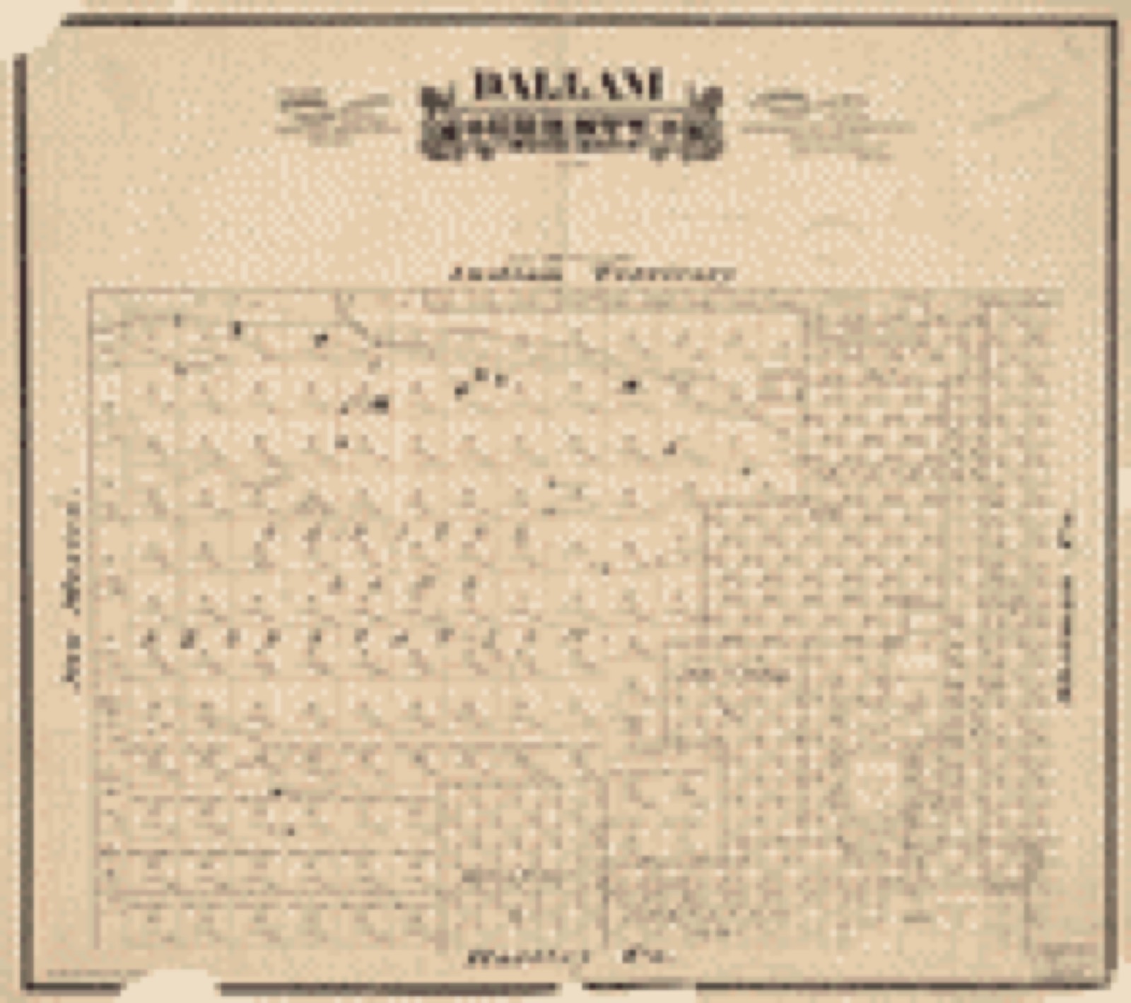
Drawn when these were printed as single large sheets: the town seen from the air, and the county divided into its farms with every owner named. Each opens the original at the Library of Congress.
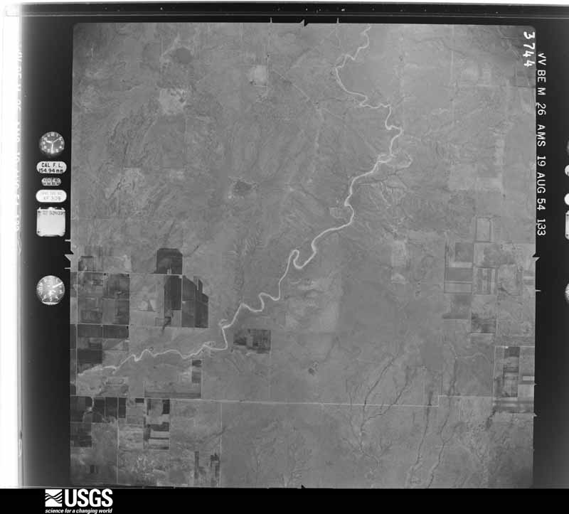
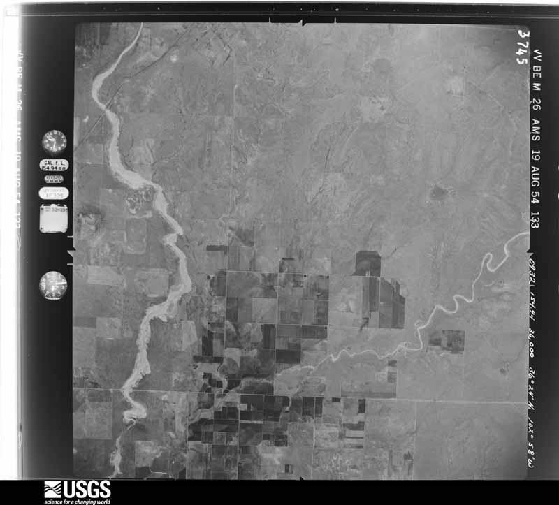
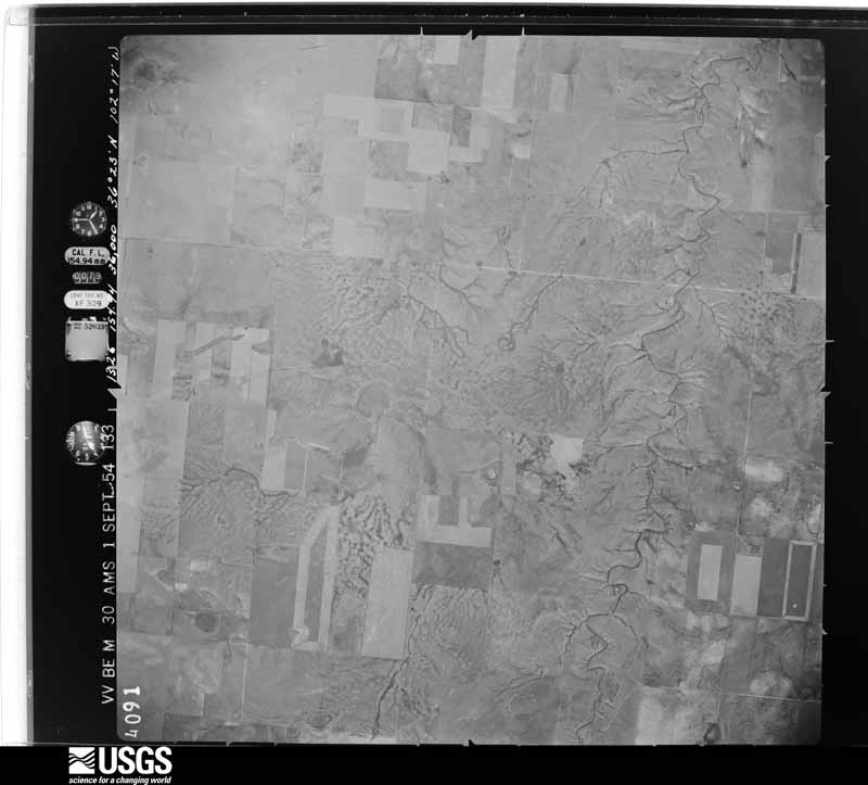
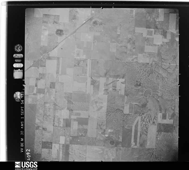
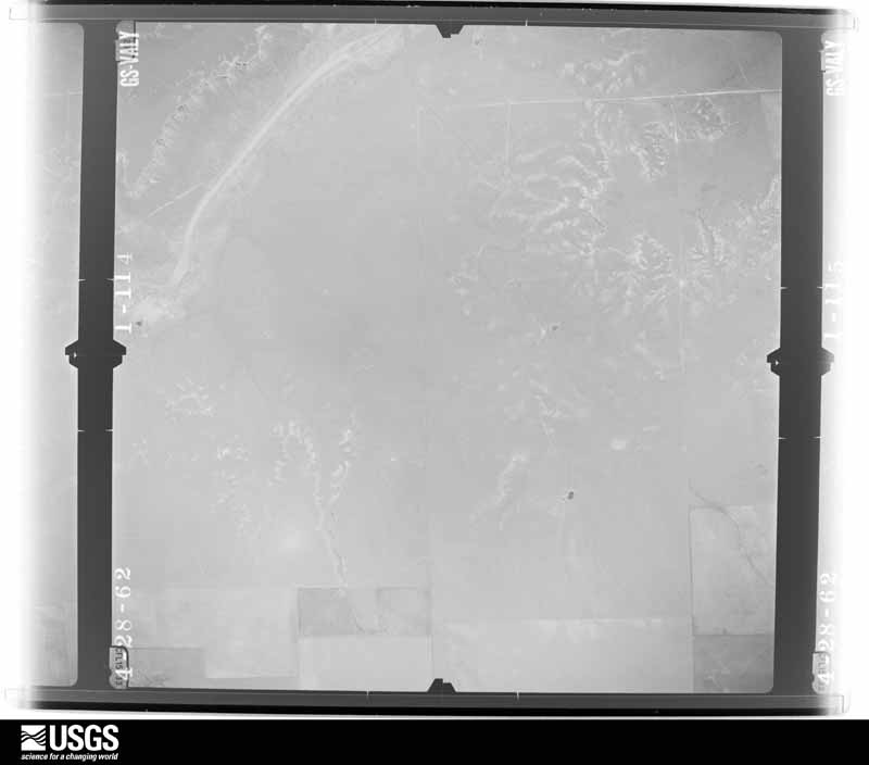
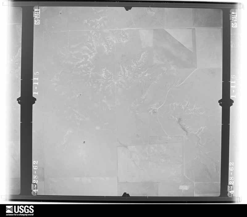
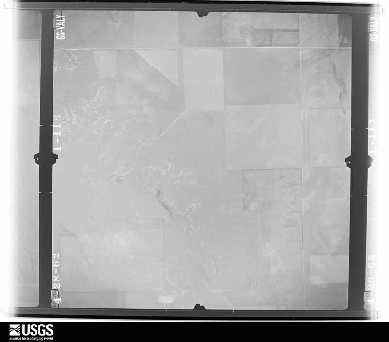
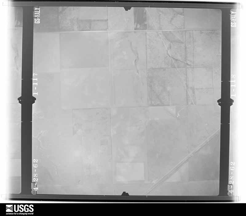
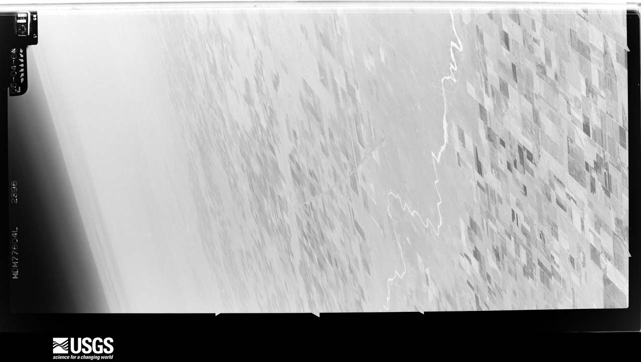
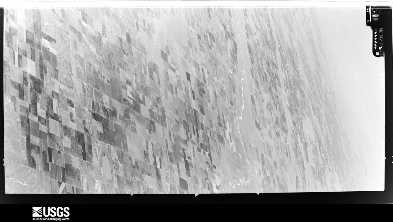
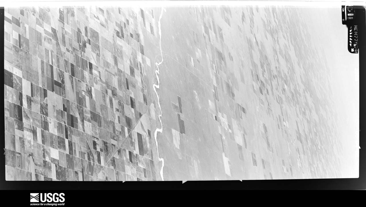
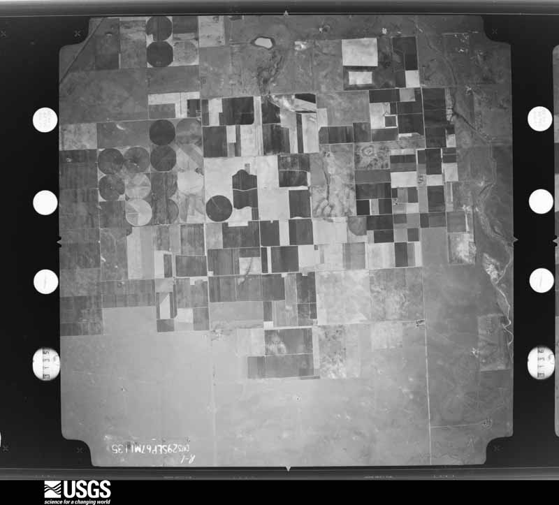
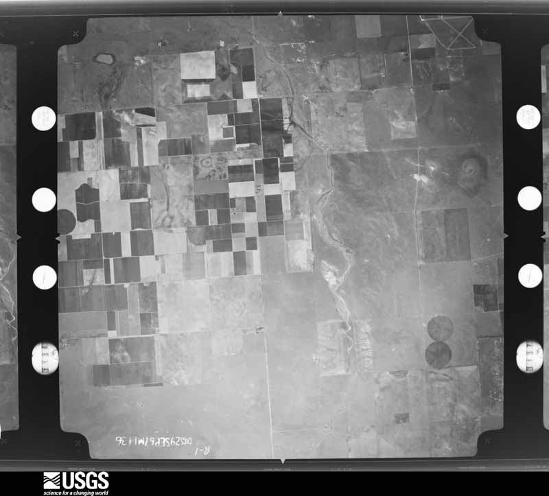
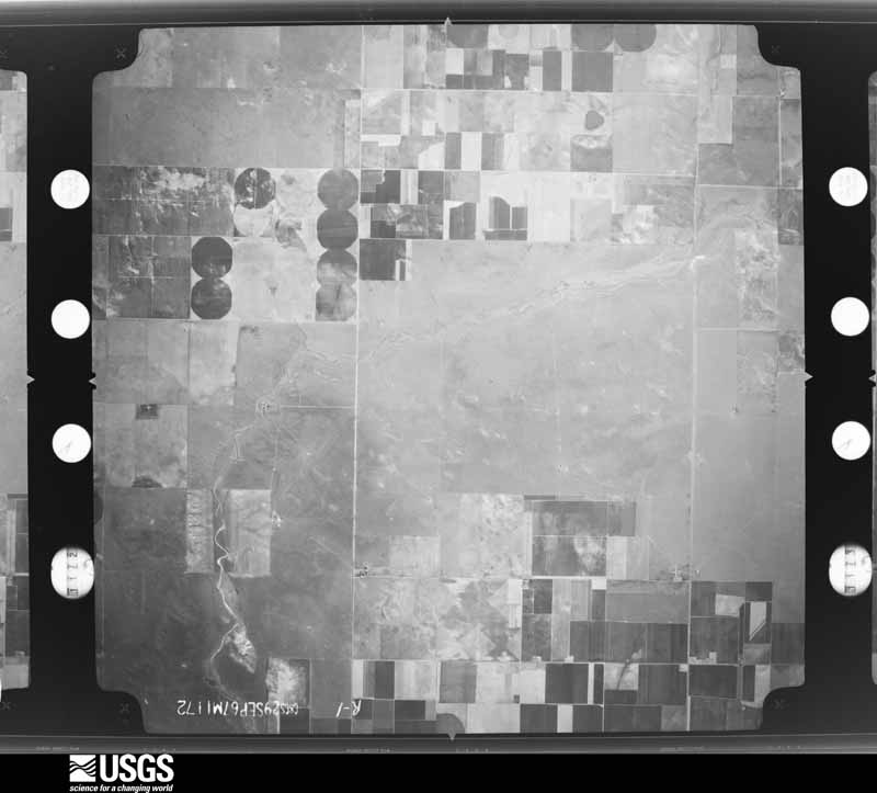
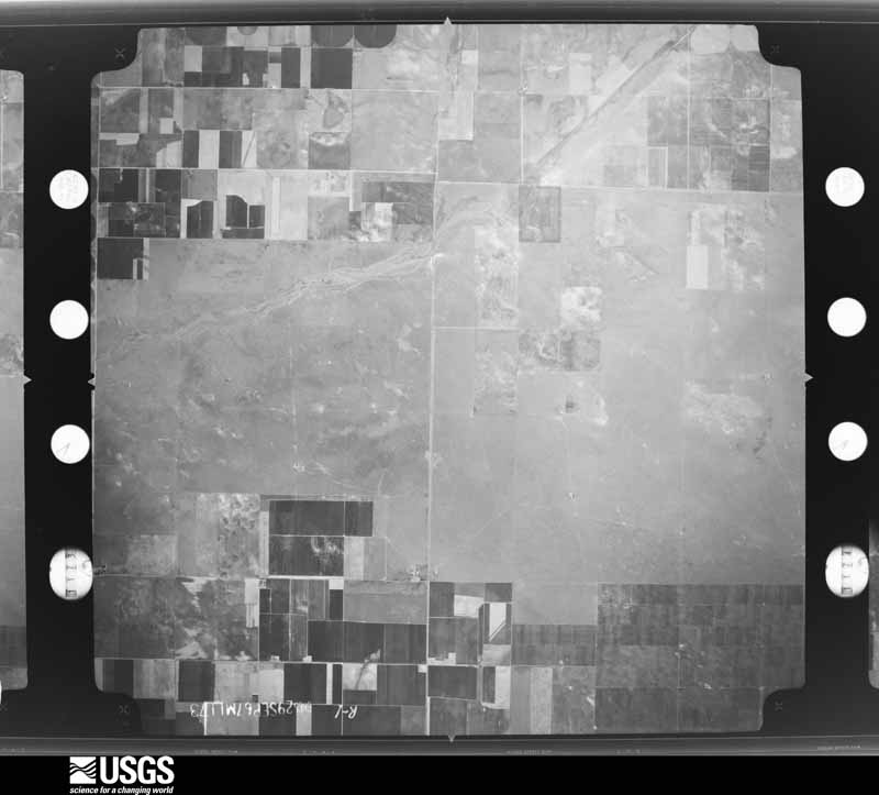
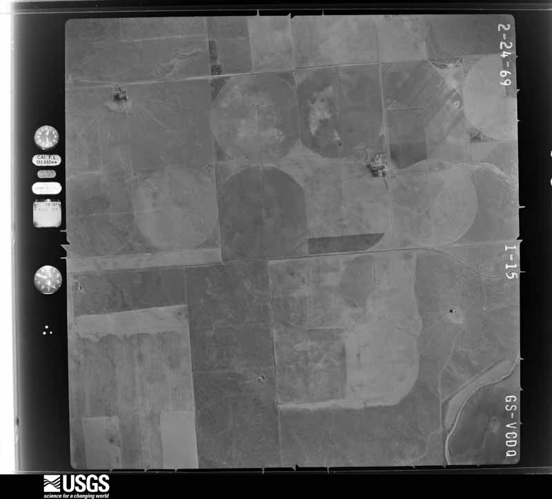
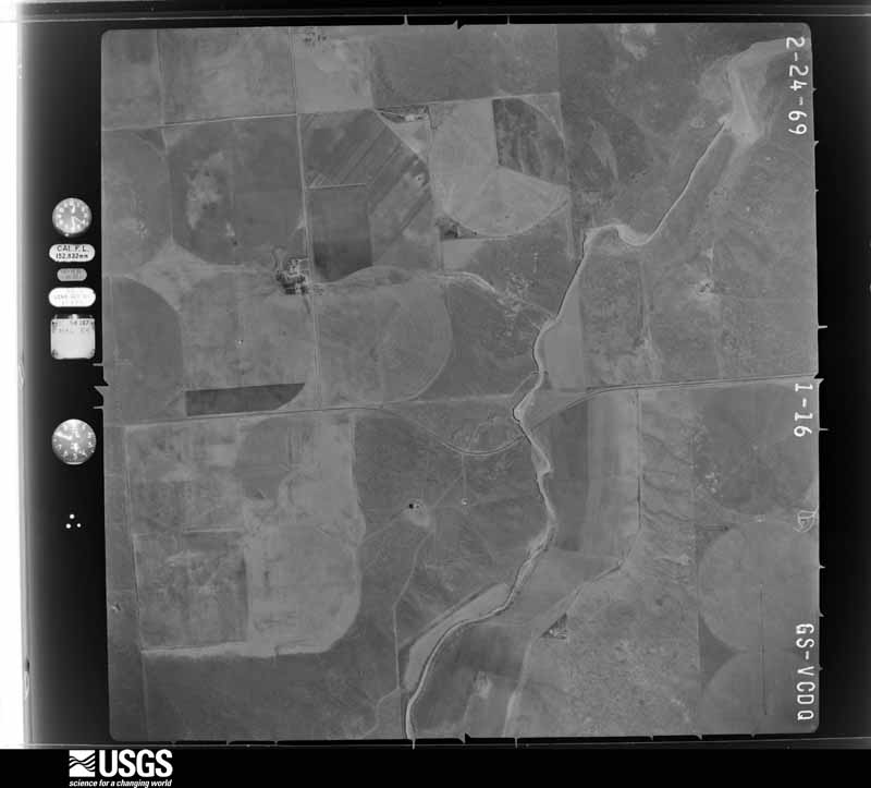
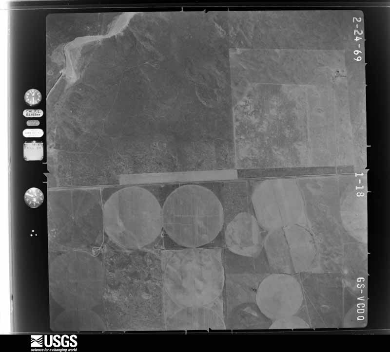
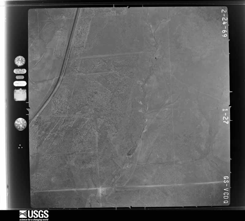
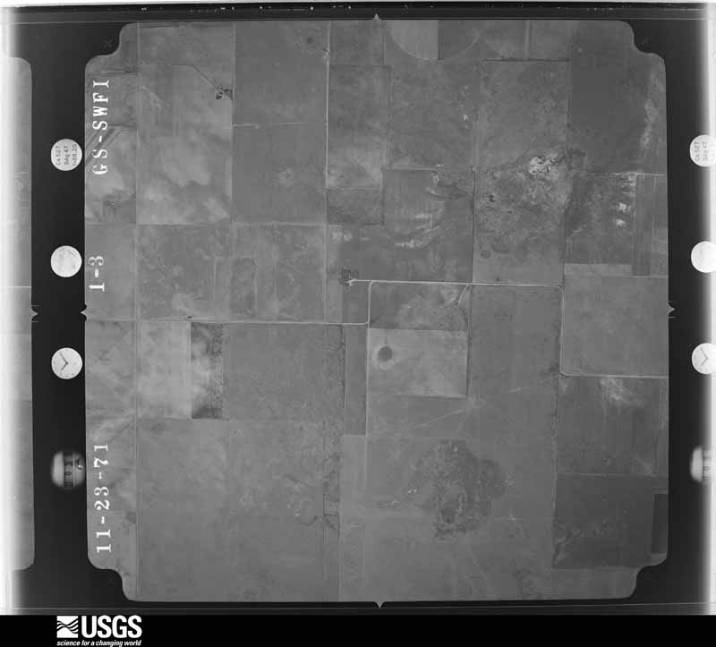
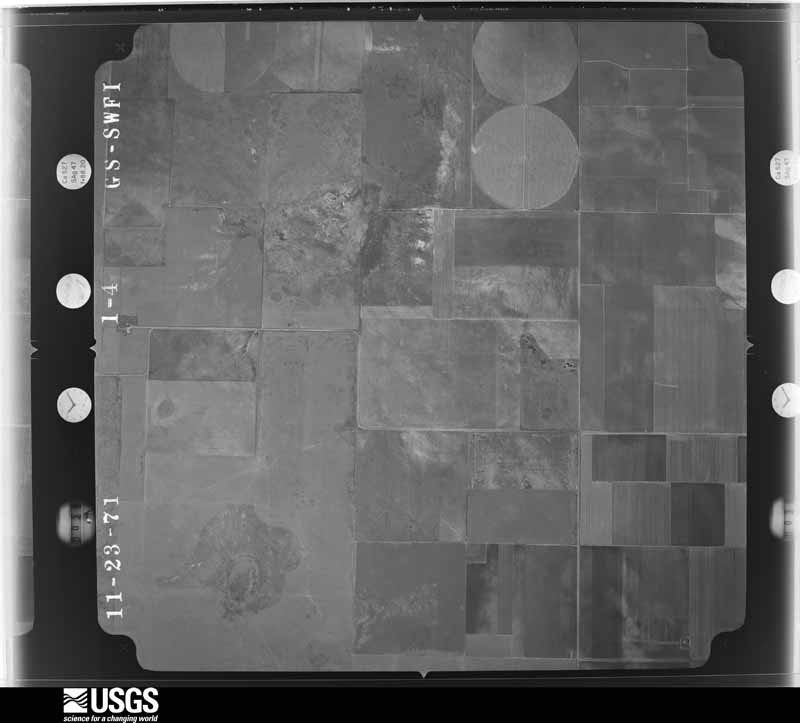
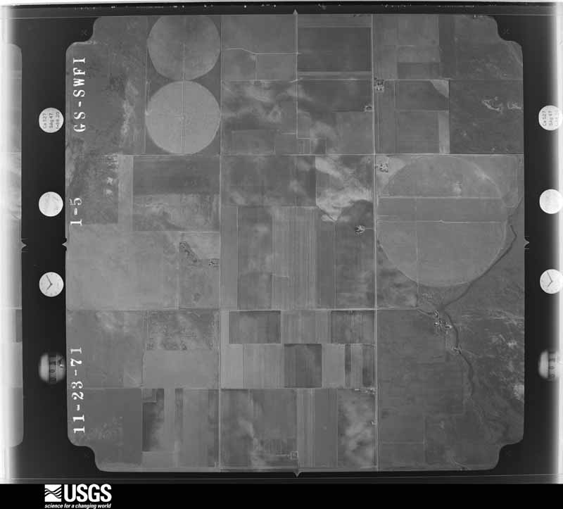
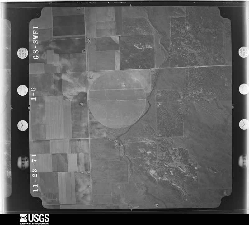
Flown by the U.S. Geological Survey between 1937 and 1989, the Aerial Photo Single Frames collection is the definitive mid-century view of the land: fields, roads and rivers as the camera saw them. The Survey holds 1,203 frames inside the rectangle that bounds this county; the 24 frames below were taken over the county itself, chosen across the decades of flights (at most four a year from that rectangle), so one flight cannot crowd out the rest. The full set is free to browse and download at EarthExplorer under the dataset Aerial Photo Single Frames.

The thermometers that kept this county's weather, as the federal records hold them. The extremes below are measured values from those records, not estimates.
Who lived here in 1950, one enumeration district at a time, as the Census Bureau described each district. Each row opens its official National Archives result, with Population Schedules and ED Maps available there.
Every wildfire the federal occurrence database records inside this county: 305 of them, burning about 43,067 acres. 54 started naturally and 4 were recorded as arson. Each settlement page carries the fires within five miles of it.
| Reported cause | Fires |
|---|---|
| Equipment and vehicle use | 94 |
| Missing data/not specified/undetermined | 70 |
| Natural | 54 |
| Power generation/transmission/distribution | 26 |
| Debris and open burning | 21 |
| Smoking | 17 |
| Railroad operations and maintenance | 9 |
| Misuse of fire by a minor | 6 |
| Recreation and ceremony | 4 |
| Arson/incendiarism | 4 |
The five largest, by the area the report gives. None of them was recorded as arson.
| Date | Cause | Size | Reported by | Name on the report |
|---|---|---|---|---|
| 19 April 2011 | Power generation/transmission/distribution | 11,009 acres | Cibola National Forest | PRITCHARD |
| 24 May 2011 | Missing data/not specified/undetermined | 5,000 acres | Texas A & M Forest Service | DALHART FIRE |
| 21 May 2006 | Natural | 3,500 acres | Cibola National Forest | MILKSHAKE |
| 4 October 2008 | Natural | 1,675 acres | Cibola National Forest | AT&T |
| 21 May 2006 | Natural | 1,600 acres | Cibola National Forest | RB-78 |
| 14 March 2007 | Recreation and ceremony | 1,528 acres | Texas A & M Forest Service | POOLE |
| 6 January 2006 | Equipment and vehicle use | 1,200 acres | Texas A & M Forest Service | not named |
| 25 February 2012 | Debris and open burning | 1,150 acres | Cibola National Forest | GILLEMWATER |
Every settlement page carries the fires within five miles of it - see the settlement index below.
The NOAA Storm Events Database holds 354 reports for this county, causing no deaths, 3 injuries and about $2,513,840 in recorded property damage. Each settlement page carries the reports that name it.
| Kind of event | Reports |
|---|---|
| Hail | 228 |
| Thunderstorm Wind | 82 |
| Tornado | 39 |
| Flash Flood | 2 |
| Flood | 2 |
| Dust Devil | 1 |
The most serious of them, by death, then injury, then recorded damage. The accounts are quoted exactly as the forecast office filed them.
| When | Event | Place named | Harm | What the report says |
|---|---|---|---|---|
| April 1971 | Tornado (F2) | not stated | 3 hurt | no account filed |
| June 1999 | Hail | Dalhart | $1,500,000 | no account filed |
| May 1972 | Tornado (F2) | not stated | $250,000 | no account filed |
| May 1996 | Tornado (F1) | Texline | $200,000 | no account filed |
| June 2003 | Thunderstorm Wind | Texline | $125,000 | Four sprinklers loaded with water were picked up...twisted and then turned over by the high winds. |
| August 2001 | Thunderstorm Wind | Dalhart | $80,000 | The high winds blew over a one hundred plus foot radio tower onto a building and fence of the Cow Feed Company in Dalhart. Also damaged was the Junior High School in Dalhart when a one hundred and ten foot communication tower fell on the roof. The high winds took a roof off of a building in Dalhart. Two trees were uprooted and several tree limbs were blown down. |
| June 2003 | Hail | Texline | $70,000 | The large hail broke out all of the skylights in a house and barn plus all of the windows in the the house and tore siding off the house. At least one thousand and five acres of corn, three thousand acres of wheat, and two thousand acres of feed milo plus an additional fourteen circles of corn and wheat were destroyed by the hail. |
| July 1994 | Thunderstorm Wind | Bootleg | $50,000 | Hail up to golf ball-size was reported by TV meteorologist in Dallam County. The Sheriff's Office reported quarter-size hail near the community of Bootleg. A rancher reported thunderstorm winds blew a shed apart and toppled his windmill with damage estimated at $10K. |
| June 2024 | Thunderstorm Wind | Perico | $35,000 | Video that was posted on social media shows a grain silo destroyed and laying across the south bound lane of Highway 87. |
| June 2000 | Thunderstorm Wind | Dalhart | $30,000 | Wind damage caused numerous tree limbs down with roof damage and five to six power poles broken off at ground level. |
| May 2003 | Tornado (F1) | Conlen | $25,000 | The tornado remained over open country. No injuries were reported. The tornado did knock down about twenty power poles near U.S. Highway 54. |
| April 1971 | Tornado (F2) | not stated | $25,000 | no account filed |
| May 2024 | Hail | Dalhart | $20,000 | Hail up to two inches in diameter fell across Dalhart. |
| May 2024 | Hail | Texline | $20,000 | Hail ranging from quarter to baseball size fell across and just to the south of Texline. |
| May 2003 | Tornado (F0) | Conlen | $15,000 | The tornado remained over open country. No injuries were reported. The tornado did knock down about ten power poles near U.S. Highway 54. |
| September 2025 | Hail | Texline | $10,000 | A supercell thunderstorm moved across Texline and brought large hail of 2.25 inches to 2.5 inches across the city. |
| August 2024 | Thunderstorm Wind | Ware | $10,000 | The roof of a grain silo was ripped off and the west side wall of the silo was caved in. |
| June 2004 | Thunderstorm Wind | Texline | $10,000 | High winds damaged an irrigation pivot. |
| May 2024 | Hail | Texline | $10,000 | no account filed |
| May 2010 | Thunderstorm Wind | Texline | $7,000 | The local law enforcement reported that thunderstorm wind gusts downed trees and power lines on the west and north sides of Texline. |
| September 2025 | Hail | Dalhart | $5,000 | Hail fell to the east of Dalhart. The sizes were mostly nickel-sized but there were some hailstones the size of golf balls mixed in as well. |
| October 2011 | Thunderstorm Wind | Dalhart | $5,000 | Local law enforcement officials estimated the thunderstorm wind gust and also reported that there were several power lines blown down around the city of Dalhart Texas. There were no reports of injuries or fatalities. |
| June 2025 | Tornado (EF1) | Ware | $3,000 | The tornado touched down in rural southwest Dallam County and it destroyed a barn south of FM 1727. The estimated maximum wind speed was 95mph. |
| June 2025 | Hail | Perico | $3,000 | no account filed |
| May 1991 | Tornado (F1) | not stated | $2,500 | no account filed |
| April 2026 | Hail | Dalhart | $2,000 | A thunderstorm moved across Dalhart during the afternoon of April 10, 2026. It produced penny to quarter size hail on the north side of town, including along highway 54. |
| May 2023 | Hail | Conlen | $1,000 | Wind driven hail caused extensive damage to house and trees. All windows on north side of house were blown out. |
| May 1991 | Tornado (F0) | not stated | $250 | no account filed |
| May 1977 | Tornado (F1) | not stated | $30 | no account filed |
| June 1961 | Tornado (F1) | not stated | $30 | no account filed |
| June 1961 | Tornado (F1) | not stated | $30 | no account filed |
| August 2025 | Thunderstorm Wind | Texline | - | First severe wind gust occurred at 1813 CDT and last severe wind gust occurred at 1815 CDT at the mesonet site two miles north of Texline. |
| June 2025 | Tornado (EFU) | Ware | - | Chasers documented a brief and weak touchdown in open field south of Perico. No other damage was noted. |
| July 2025 | Hail | Ware | - | Strong winds and hail occurred over large area just west of Dalhart to the state line, generally extending from around Highway 87 to Highway 54. This impacted many farms and there was damage to crops throughout the area. This included some fields that were completely flattened and were a total loss. |
| September 2025 | Hail | Dalhart | - | A swath of small hail occurred across portions of Dallam County. Hail covered the ground to the northeast of Dalhart, with stones that ranged from pea to penny size. |
| September 2025 | Thunderstorm Wind | Texline | - | A 71mph wind gust was measured at the mesonet site located two miles north of Texline. This gust was followed by a 65mph and 60mph wind gust as well. |
| June 2025 | Tornado (EFU) | Texline | - | This tornado remained in open grassland causing no damage. The only damage indicator it crossed was a powerline on E0330 Road which was not damaged. It did result in flattened grass along a portion of its track. The total track length was around 9.4 miles. |
| May 2024 | Hail | Texline | - | A swath of quarter size hail fell in Texline and just to the east of town. |
| June 2024 | Thunderstorm Wind | Texline | - | First wind gust was at 1749CDT was 60 mph. The max wind gust of 61 mph occurred at 1751CDT. Severe wind gusts persisted for 6 minutes from 1749 through 1755CDT. |
| June 2024 | Thunderstorm Wind | Texline | - | This mesonet showed additional gusts of 58-60mph several | times from 1737CDT through 1750CDT. |
| August 2023 | Thunderstorm Wind | Perico | - | Several tree limbs, 1 to 2 in diameter, were blown down by thunderstorm wind gusts. |
| June 2023 | Hail | Chamberlain | - | Hail caused broken windows and hail damage. |
| June 2023 | Thunderstorm Wind | Ware | - | A large tree was blown over onto a house. A trained spotter had collected a report from the resident of this home. Resident said there was no damage on the inside of the house. |
| June 2023 | Tornado (EFU) | Kerrick | - | This tornado touched down in an open field and was documented by|several storm spotters and chasers. It did not cause any damage|and was given an EFU damage rating. |
| June 2023 | Hail | Kerrick | - | Hail up to the 4 in diameter reported 22 miles NNE of Ware reported by the public. Hail up to 1.75 reported 7 miles N of Conlen by a trained spotter. |
| June 2022 | Dust Devil | Texline | - | While this was a breezy to windy day, the brief gust of 60 mph Texline site stood out to be much higher than any others in the area. Investigation into this by the West Texas Mesonet team showed pressure changes which suggested this gust was likely due to a large dust devil. |
| May 2021 | Hail | Perico | - | Accumulating hail between pea and dime size, with larger stones up to ping pong ball noted. Area roadway is covered with hail. |
| May 2021 | Tornado (EFU) | Conlen | - | The tornado was documented via pictures and video by multiple|storm chasers, including NWS employees. It appeared weak, but|remained in open country grasslands and encountered no damage|indicators. The path information was estimated based on reports|and radar signatures. |
| May 2021 | Tornado (EFU) | Conlen | - | The tornado was documented via pictures and video by multiple|storm chasers, including NWS employees, and was also witnessed by|an Emergency Manager. It remained in open country grassland and|encountered no damage indicators. Path was estimated based on|reports and radar signatures. |
| May 2021 | Tornado (EFU) | Chamberlain | - | The tornado was documented via pictures and video by multiple|storm chasers, including NWS employees. It appeared weak, but|remained in open country grassland and encountered no damage|indicators. Path was estimated based on reports and radar|signatures. |
| May 2021 | Tornado (EFU) | Conlen | - | The tornado was documented via pictures and video by multiple|storm chasers, including NWS employees. It appeared weak, but|remained in open country grassland and encountered no damage|indicators. Path was estimated based on reports and radar|signatures. |
| July 2021 | Flood | Dalhart | - | Street flooding was reported in and around the city of Dalhart. Roads did remain passible. |
| July 2021 | Hail | Dalhart | - | Report received of 1 to 1.5 inch hail falling for around 2 minutes. |
| July 2021 | Hail | Dalhart | - | Storm chaser reported 1-2 inch diameter hail in and around Dalhart to around 5 miles north of town. Some minor accumulating hail was reported on highway 385, about 4 miles north of the city as well. |
| June 2021 | Flash Flood | Dalhart | - | Water reported over curb with a few inches of water covering all the lanes of HWY 87. |
| April 2020 | Hail | Conlen | - | A trained spotter reported penny size hail. |
| May 2020 | Hail | Texline | - | A lot of half inch size hail stones and a few stones up to the size of a quarter fell in Texline. |
| May 2020 | Hail | Chamberlain | - | Half-dollar sized hail was observed 9 miles north of Dalhart. |
| June 2020 | Hail | Chamberlain | - | Ping pong ball size hail fell 10 miles east of Dalhart. |
| June 2020 | Hail | Ware | - | Penny size hail fell 1 mile east of Ware. |
Named settlements recorded in the Geographic Names Information System, each with the topographic sheets covering it. Villages, hamlets and abandoned places alike. Each is shown with the nearest named watercourse or landform and the survey quadrangle it falls on.
Dalhart census division · 79022 · On Aqua Fria Creek · Buffalo Springs quadrangle
7 sheets, 1954 to 1998
Texline census division · 79087 · On Perico Creek · Texline North quadrangle
8 sheets, 1954 to 1998