 Block
BlockFrom the record
1 National Register listing published here.
Sources: the National Register database, National Park Service
26 topographic sheets cover 21 settlements here, and 1 property is on the National Register of Historic Places.
1 National Register listing published here.
Sources: the National Register database, National Park Service
Every property in this county listed on the National Register of Historic Places, with the year it was listed and the federal nomination document.
| Photograph | Property | Type | Listed | Reference |
|---|---|---|---|---|
 | Lamesa Farm Workers Community Historic Ditrict | district | 1993 | 93000771 |
Drawn when these were printed as single large sheets: the town seen from the air, and the county divided into its farms with every owner named. Each opens the original at the Library of Congress.
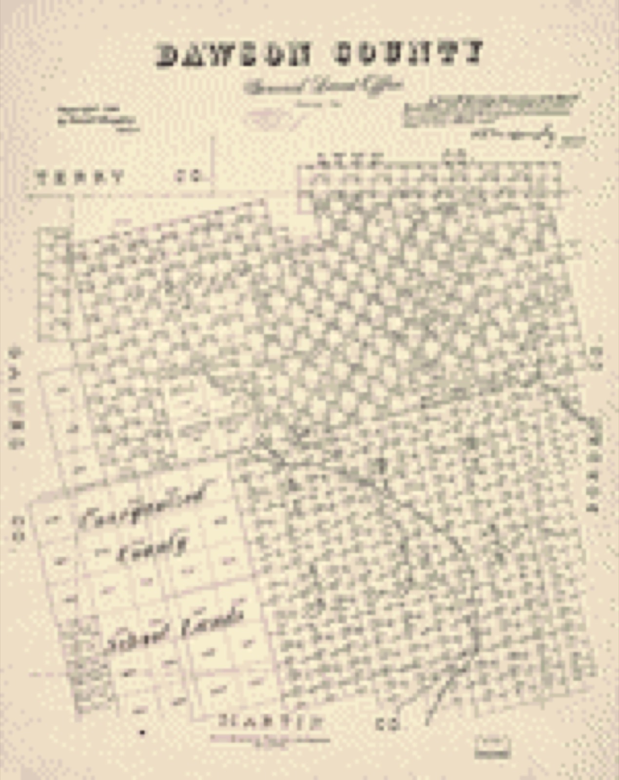
Selected from the Digital Public Library of America's 1 image records catalogued for this county. Every one shown here carries a public-domain status or a licence that permits reuse on a site that carries advertising; non-commercial, share-alike and restricted images are excluded. The selection is spread across the county's towns (at most eight per town), so no single institution's bulk upload crowds out the rest. Each opens the holding library's record, and the complete set at the Digital Public Library of America is one click away.

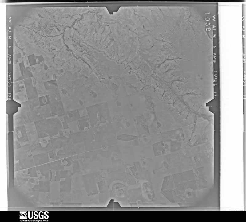
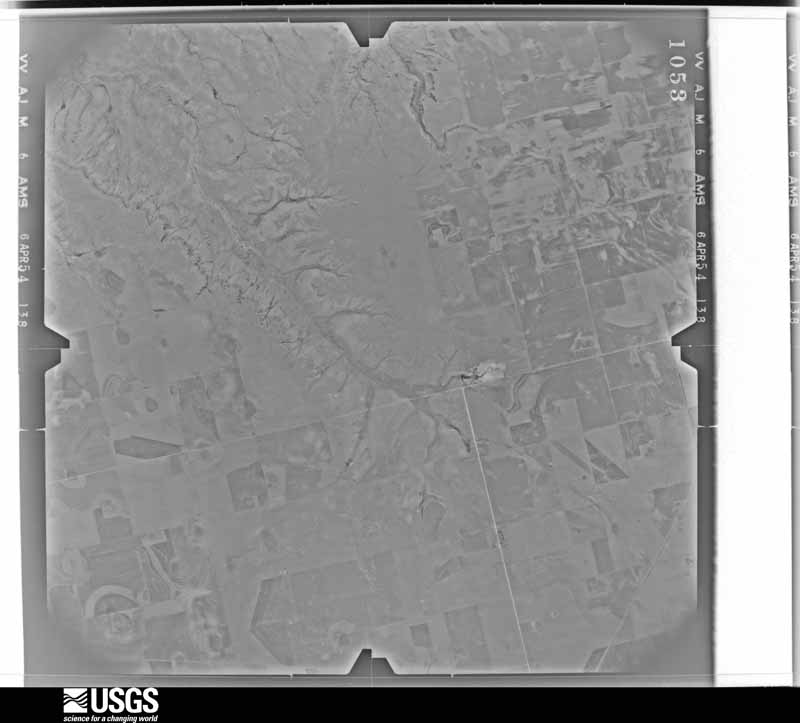
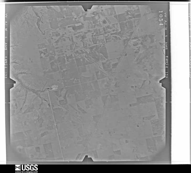
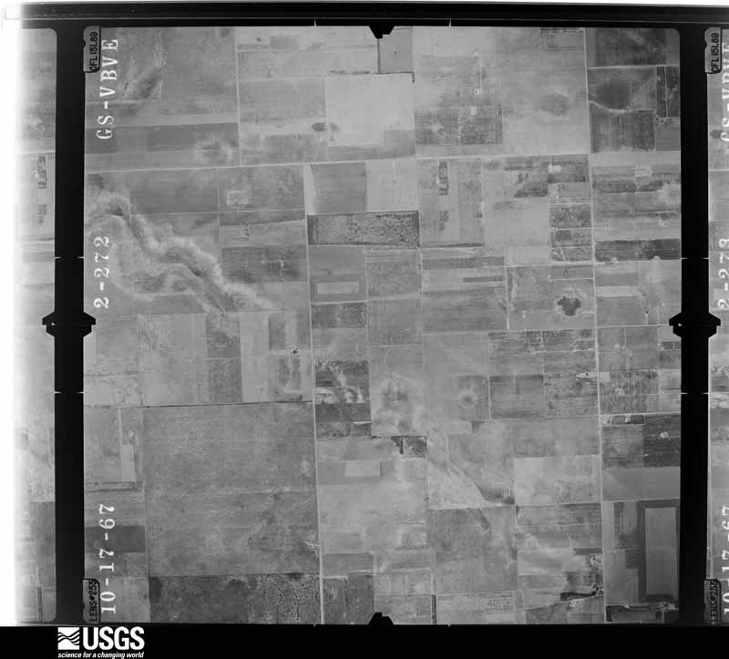
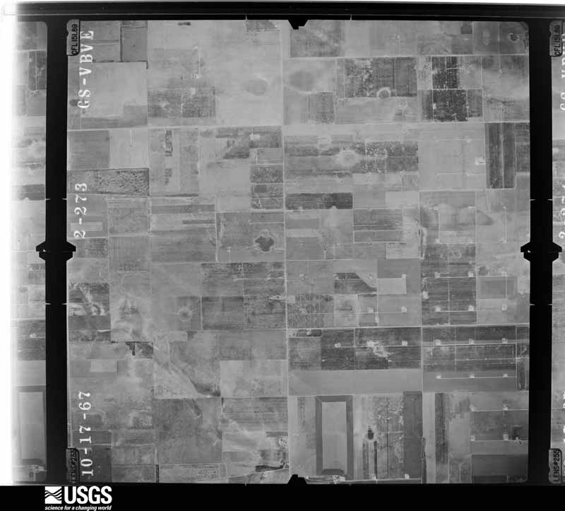
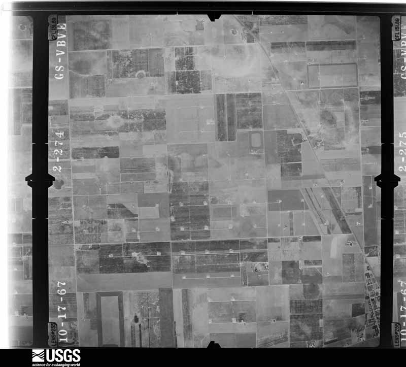
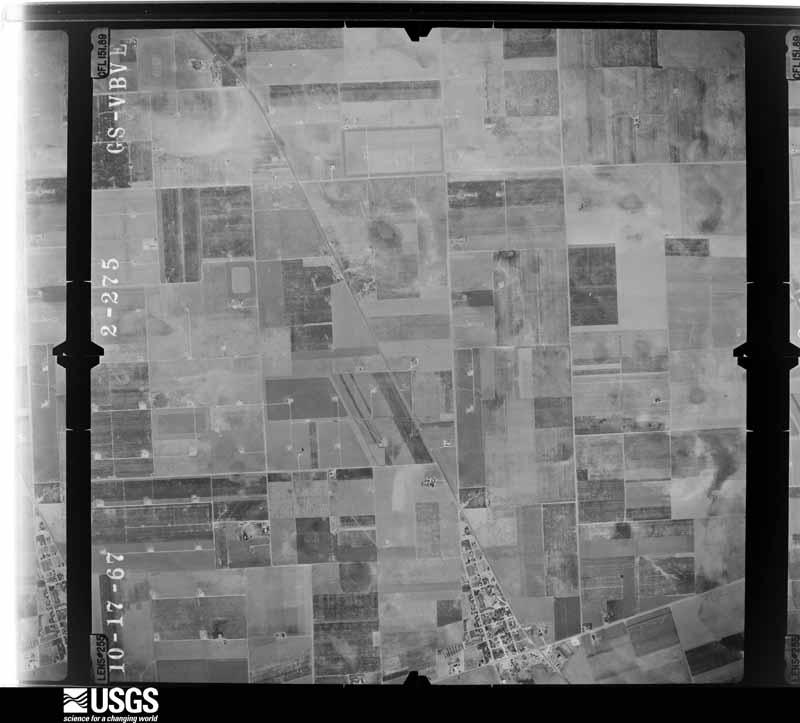
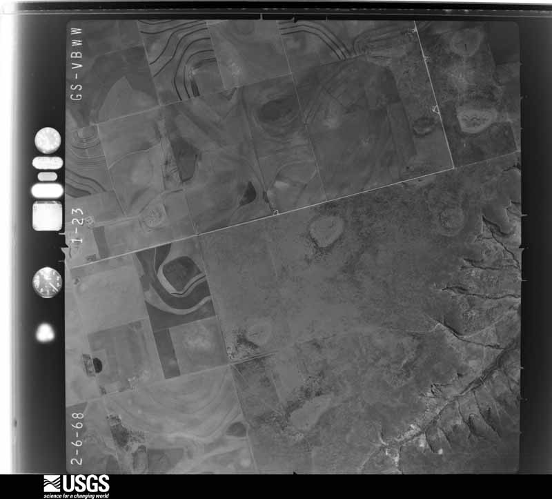
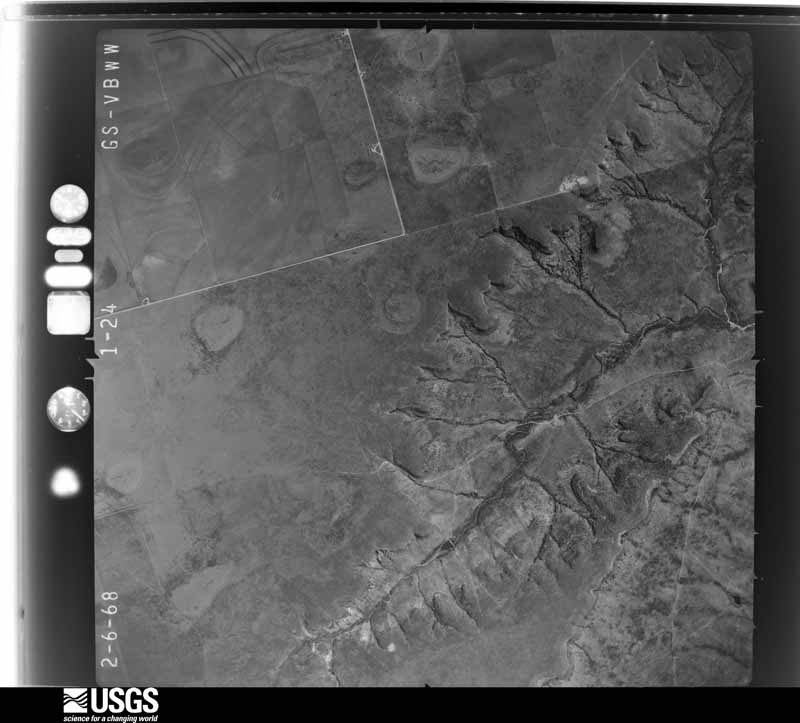
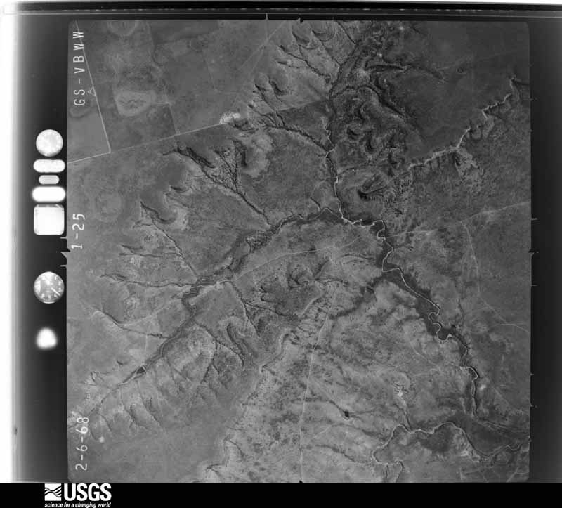
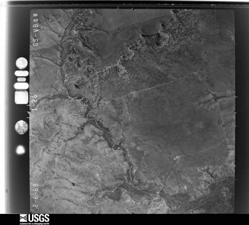
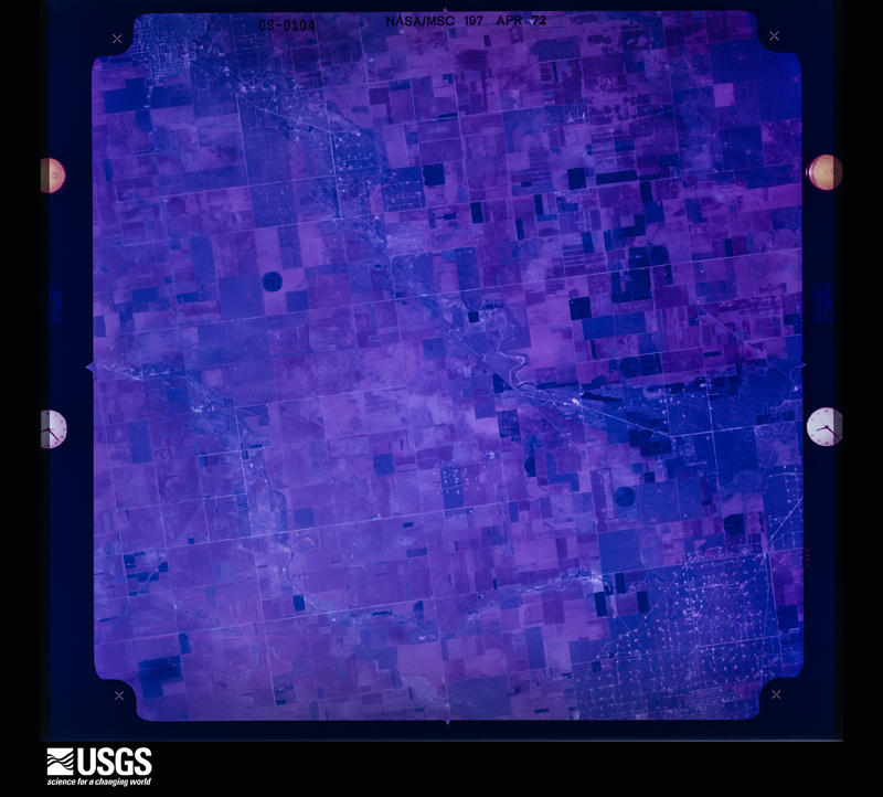
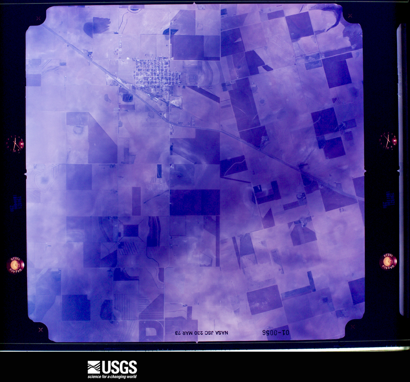
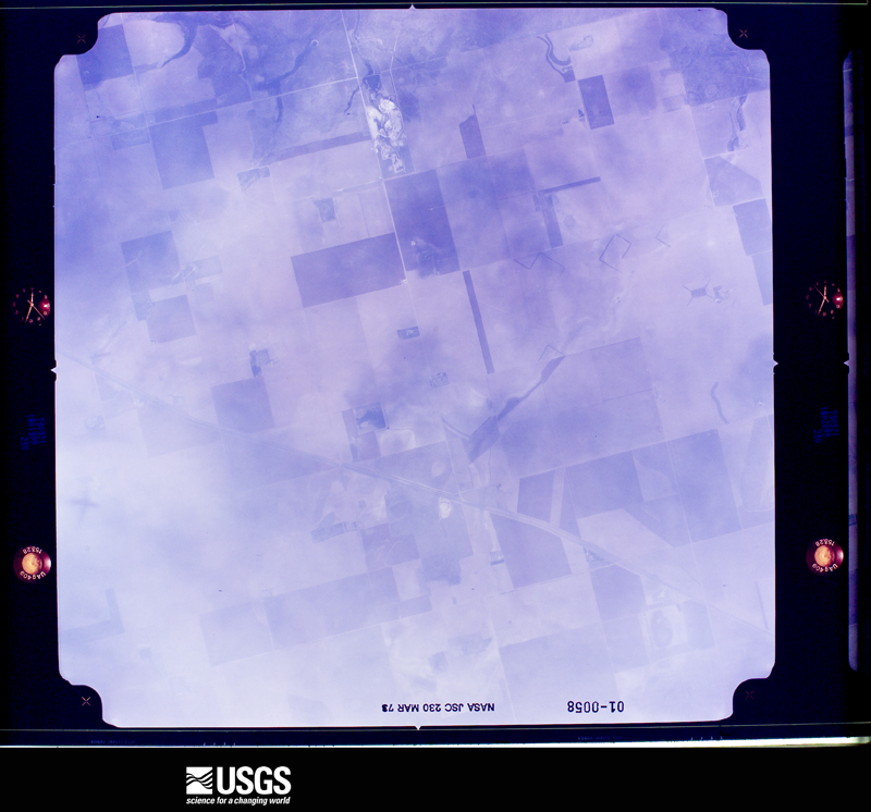
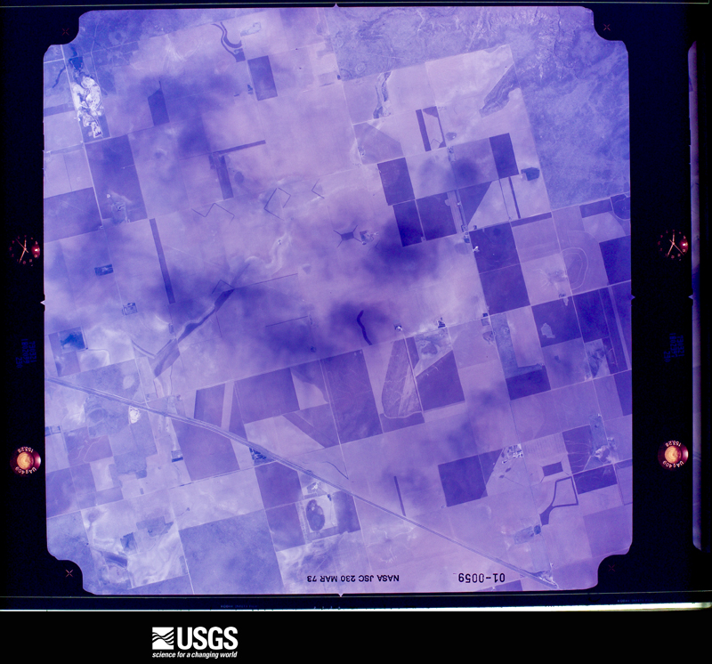
Flown by the U.S. Geological Survey between 1937 and 1989, the Aerial Photo Single Frames collection is the definitive mid-century view of the land: fields, roads and rivers as the camera saw them. The Survey holds 1,104 frames inside the rectangle that bounds this county; the 36 frames below were taken over the county itself, chosen across the decades of flights (at most four a year from that rectangle), so one flight cannot crowd out the rest. The full set is free to browse and download at EarthExplorer under the dataset Aerial Photo Single Frames.
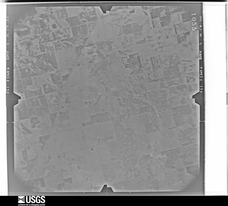
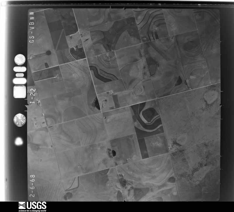
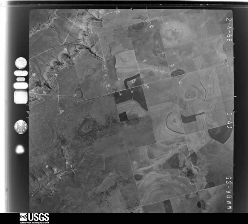
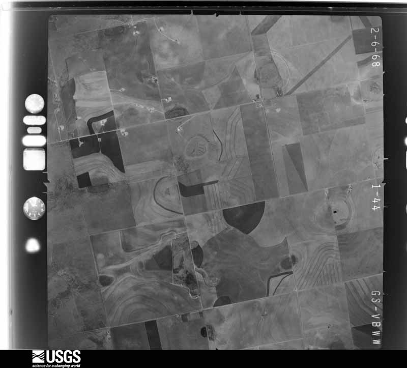

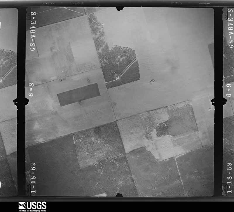
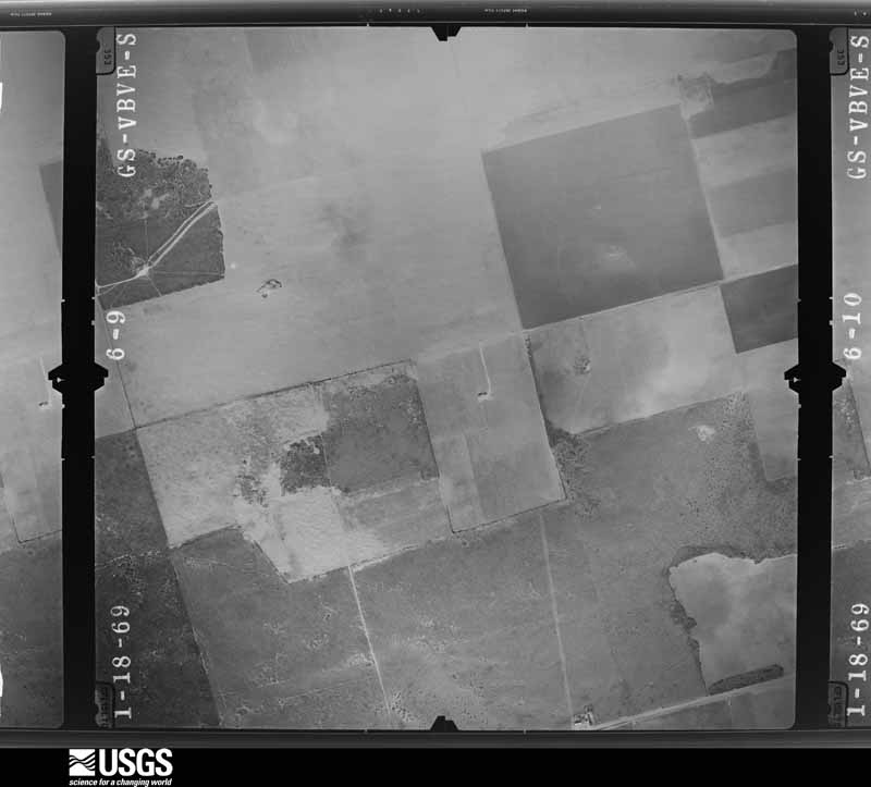
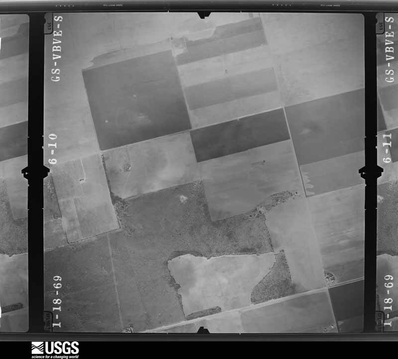
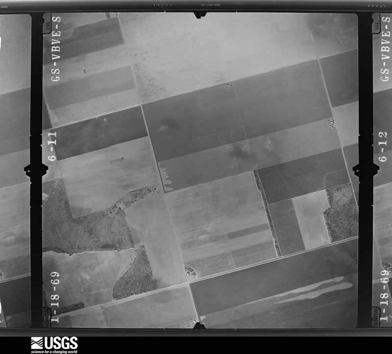












The thermometers that kept this county's weather, as the federal records hold them. The extremes below are measured values from those records, not estimates.
Who lived here in 1950, one enumeration district at a time, as the Census Bureau described each district. Each row opens its official National Archives result, with Population Schedules and ED Maps available there.
Every wildfire the federal occurrence database records inside this county: 50 of them, burning about 6,628 acres. 8 started naturally and none was recorded as arson. Each settlement page carries the fires within five miles of it.
| Reported cause | Fires |
|---|---|
| Missing data/not specified/undetermined | 17 |
| Equipment and vehicle use | 10 |
| Natural | 8 |
| Debris and open burning | 7 |
| Power generation/transmission/distribution | 5 |
| Smoking | 3 |
The five largest, by the area the report gives. None of them was recorded as arson.
| Date | Cause | Size | Reported by | Name on the report |
|---|---|---|---|---|
| 13 January 2006 | Smoking | 800 acres | Texas A & M Forest Service | not named |
| 25 May 2008 | Natural | 700 acres | Texas A & M Forest Service | not named |
| 6 April 2006 | Missing data/not specified/undetermined | 640 acres | Texas A & M Forest Service | FM115 |
| 4 January 2006 | Missing data/not specified/undetermined | 600 acres | Texas A & M Forest Service | not named |
| 3 January 2006 | Missing data/not specified/undetermined | 600 acres | Texas A & M Forest Service | not named |
| 1 January 2006 | Missing data/not specified/undetermined | 600 acres | Texas A & M Forest Service | not named |
| 7 February 2006 | Missing data/not specified/undetermined | 500 acres | Texas A & M Forest Service | not named |
| 4 October 2005 | Equipment and vehicle use | 300 acres | Texas A & M Forest Service | not named |
Every settlement page carries the fires within five miles of it - see the settlement index below.
The NOAA Storm Events Database holds 375 reports for this county, causing no deaths, 10 injuries and about $32,733,790 in recorded property damage. Each settlement page carries the reports that name it.
| Kind of event | Reports |
|---|---|
| Hail | 163 |
| Thunderstorm Wind | 106 |
| Tornado | 54 |
| Flash Flood | 52 |
The most serious of them, by death, then injury, then recorded damage. The accounts are quoted exactly as the forecast office filed them.
| When | Event | Place named | Harm | What the report says |
|---|---|---|---|---|
| June 1965 | Tornado (F2) | not stated | 8 hurt, $25,000 | no account filed |
| June 1980 | Tornado (F2) | not stated | 1 hurt, $25,000 | no account filed |
| August 1997 | Thunderstorm Wind | Lamesa | 1 hurt, $8,000 | A microburst in southwest Dawson County caused damage on a couple of properties. One metal shed and two wooden sheds were destroyed by the winds. A greenhouse was heavily damaged and a travel trailer with two occupants was pushed up against an adjacent barn. One of the occupants sustained slight injuries to both of his knees from flying objects in the trailer. Corrugated metal was strewn around the area as well. Farther south a water pump was wrenched from its connections and was irreparable.A damage survey was accomplished finding a divergent pattern over an area about 1/2 mile wide. On the northeastern end of the damage, debris was blown to 310 degrees versus the water pump (to the south) was blown to 228 degrees. The damage survey team estimated a wind speed of 65 kt. |
| June 2021 | Thunderstorm Wind | Lamesa | $10,000,000 | A thunderstorm moved across Dawson County and produced wind damage in and near Lamesa. Significant wind damage was discovered on the north and northeast sides of Lamesa, Texas. The damage swath included multiple uprooted trees, downed or leaning power poles, metal roofs/carports lifted or bent, some homes missing shingles or roof damage due to uprooted trees, and several damaged metal buildings and travel trailers. All of this damage was oriented in a northwest direction. After re-analysis of radar data and evaluation of eye-witness accounts, the damage was determined to be the result of an intense downburst that developed as an approaching outflow boundary interacted with an approaching supercell thunderstorm at roughly 7:45 pm CDT. The survey team estimated peak wind speeds to be between 110 to 120 mph. It was also determined that the overturned irrigation pivots, south of Lamesa, resulted from 70 to 80 mph winds behind the approaching outflow boundary. The total damage estimate between the thunderstorm winds and flooding is around 10 million dollars. |
| June 2021 | Flash Flood | Lamesa | $10,000,000 | Heavy rain resulted in flash flooding in Lamesa. There was a video of at least a foot of flowing water over roads in Lamesa. The damage estimate in Lamesa due to a thunderstorm downburst plus flooding was around ten million dollars. |
| June 2021 | Flash Flood | Lamesa | $10,000,000 | Heavy rain resulted in flash flooding in Lamesa. There was a video of street flooding in Lamesa submitted via social media. The damage estimate from the flooding and thunderstorm downburst in Lamesa was around ten million dollars. |
| June 2000 | Hail | Lamesa | $450,000 | A supercell thunderstorm moved from the northwest portion of Dawson County southeast just west of Lamesa, across the community of Friendship, and then east of Patricia. Large hail, strong winds, and torrential rains produced widespread crop and property damage across the western half of Dawson County. |
| April 1997 | Hail | Welch | $300,000 | no account filed |
| September 2003 | Hail | Lamesa | $250,000 | The second supercell thunderstorm to affect the Permian Basin this day resulted in a swath of large hail that damaged property and destroyed cotton and sorghum crops across northeast Dawson County. Hailstones ranging in size from pennies to golfballs fell along U.S. Highway 87 north-northeast of Lamesa. Large hail covered the ground northeast and east of Arvana, also ranging in size from pennies to golfballs. NWS meteorologists interviewed local residents the following day. Several residents indicated the hail fell at their locations for up to twenty minutes. The combination of damage surveys and interviews with local agricultural officials indicated over 3.7 million dollars worth of damage to cotton and surghum crops. In addition, house roofs, vehicles, and windows were damaged by the hail. |
| June 2021 | Thunderstorm Wind | Ackerly | $210,000 | A thunderstorm moved across Dawson County and produced wind damage near Ackerly. There were 13 snapped power poles one mile north of Ackerly on Highway 87. The time was estimated by radar. The cost of damage is a very rough estimate. |
| September 2025 | Flash Flood | Lamesa | $150,000 | An NWS employee reported flooding in several locations along TX 349, between Lamesa and Midland. Vehicles were reported stranded in floodwaters in Lamesa. The time of occurrence is partially estimated by radar. The cost of damages is also estimated. |
| September 2003 | Hail | Sand | $150,000 | The evening's third supercell to affect the northern Permian Basin (the second supercell in Dawson County) resulted in up to golfball size hail that broke windows, caused roof damage, and damaged vehicles at rural residences in the vicinity of Sand. This storm also resulted in the destruction of local cotton and surgham crops. Post storm surveys and interviews suggest an additional 1.9 million dollars worth of agricultural damage occurred. Several area residents reported the duration of large hail at their locations to range from twenty-five to thirty minutes. |
| June 2002 | Thunderstorm Wind | Lamesa | $150,000 | Reports indicated that several houses lost roofs and barns were destroyed. In addition...a couple of semi trucks were blown over on Highway 87. |
| May 2001 | Thunderstorm Wind | Lamesa | $100,000 | Thirty-one power poles snapped at intersection of state highways 349 and 2051. Damage in Lamesa included large plate glass windows broken, large trees blown over, and damage to a cotton warehouse. Significant damage was also noted to area cotton fields and associated irrigation systems. |
| June 2021 | Thunderstorm Wind | Evelena | $80,000 | A thunderstorm moved across Dawson County and produced wind damage around 12 miles west southwest of Lamesa. There were five snapped power poles at County Road 21 and County Road BB. The time was estimated by radar. The cost of damage is a very rough estimate. |
| May 2025 | Thunderstorm Wind | Punkin Center | $50,000 | The doors to a building were blown inward and through the building. Irrigation pivots were found lying towards the southeast. The time of occurrence is estimated from radar. The cost of damages and the maximum wind gust are also estimated. |
| June 2021 | Flash Flood | Hancock | $50,000 | Heavy rain resulted in flash flooding in Dawson County. There were multiple flooded roadways and fields in and around Lamesa. The cost of damage is a very rough estimate. |
| September 2010 | Thunderstorm Wind | Lamesa | $50,000 | Significant wind damage was observed within an area 5 miles southeast of Lamesa. Several power poles were knocked over and damaged, trees were uprooted, a large barn and carport were destroyed, and a center pivot irrigation system was flipped over. |
| April 2008 | Hail | Lamesa | $50,000 | Softball sized hail fell in Lamesa. |
| August 2002 | Thunderstorm Wind | Welch | $50,000 | An intense microburst with winds of 80 MPH affected the town of Welch resulting in damage. Farm equipment was destroyed. Lights at the football stadium were also blown down. There were no reports of significant structural damage or injuries, however, minor roof damage occurred. |
| May 2025 | Thunderstorm Wind | Lamesa | $45,000 | There were reports of damage to signs, power poles, and trees in the town of Lamesa from the public. The time of occurrence is estimated from radar. The cost of damages and the maximum wind gust are also estimated. |
| May 2025 | Thunderstorm Wind | Lamesa | $35,000 | Lamesa FD/PD reported downed power lines and utility lines. The time of occurrence is estimated by radar and measurements from a nearby Mesonet station. The wind speed was estimated by the extent of the damage reported and nearby Mesonet observations, and the cost of the damage is also estimated. |
| June 1989 | Tornado (F1) | not stated | $25,000 | no account filed |
| April 1985 | Tornado (F1) | not stated | $25,000 | no account filed |
| April 1985 | Tornado (F1) | not stated | $25,000 | no account filed |
| May 2025 | Thunderstorm Wind | Punkin Center | $20,000 | Metal roof panels from a small building were found lying to the south and southeast of the building. The time of occurrence is estimated from radar. The cost of damages and the maximum wind gust are also estimated. |
| May 2025 | Tornado (EF1) | Sparenburg | $20,000 | This was the estimated path of a brief tornado in the vicinity of Sparenberg to the southeast of Lamesa. Irrigation pivots were found lying towards the southeast. This was estimated to have been due to wind speeds of approximately 90 MPH. This tornado is rated EF-1. Open dirt fields in the vicinity did not allow for further survey damage. The time of occurrence is radar estimated. The cost of damages is also estimated. |
| March 2019 | Thunderstorm Wind | Lamesa Johnson Arpt | $20,000 | A thunderstorm moved across Dawson County and produced wind damage five miles north northwest of Lamesa. There were multiple power poles snapped at the base and leaning over the road. The time was estimated from radar and the wind speed was estimated. The cost of damage is a very rough estimate. |
| June 2007 | Thunderstorm Wind | Lamesa | $20,000 | Power lines and a one and a half foot diameter tree were downed by thunderstorm winds in the Forest Park area of Lamesa. |
| September 2007 | Thunderstorm Wind | Lamesa | $20,000 | Powerlines were downed due to high winds. |
| August 2004 | Hail | Grandview | $20,000 | A high precipitation supercell moved slowly southeast across northern Dawson County during the late evening of the 6th. This storm resulted in a large swath of damaging hail ranging in size from quarters to baseballs. Most of the damage was restricted to cotton crops from the Lynn/Dawson county line near Grandview. A survey by the Dawson County Agricultural Extension Agent concluded that over 5,000 acres of cotton were lost. The storm weakened before crossing U.S. Highway 87 at Arvana where it produced only pea size hail. |
| June 1998 | Thunderstorm Wind | Patricia | $20,000 | A farm that received torrential rain, small hail, and high winds flipped an irrigation system and destroyed several hundred acres of cotton. The rain total at this farm was 3.5 inches. |
| June 1998 | Thunderstorm Wind | Lamesa | $20,000 | A bowing thunderstorm caused wind damage on the south end of Lamesa near the highway 137/349 split. A metal barn and two pivot irrigation systems were destroyed by the wind. A peak wind gust of 70 mph was recorded at KPET radio station. Also one utility pole was knocked down in this area. |
| May 2025 | Thunderstorm Wind | Welch | $15,000 | A transformer block was knocked off a power pole towards the south. An empty semi-trailer was also flipped on its side at this location. The time of occurrence is estimated from radar. The maximum gust and cost of damages is also estimated. |
| May 2025 | Thunderstorm Wind | Lamesa Johnson Arpt | $15,000 | Three broken power poles were found lying to the south. These poles were broken near the base or towards the middle. The time of occurrence is estimated from radar. The cost of damages and the maximum wind gust are also estimated. |
| June 2004 | Flash Flood | Countywide | $15,000 | A complex of thunderstorms produced heavy rainfall over a large part of Dawson County. Local officials reported widespread flooding in the city of Lamesa with high water in many city streets. Several vehicles were washed off of State Highway 137 seven to eight miles northwest of Lamesa where at least six inches of water flowed over the road. U.S. Highway 87 was also inundated by high water twelve miles north-northeast of Lamesa. In addition, flood waters covered State Highway 349 five miles south of the city. |
| September 2003 | Flash Flood | East Portion | $15,000 | High water resulting from flash flooding was widespread across eastern Dawson County late on the 7th and into the early morning hours of the 8th. As the supercell storm tracked southeast across the area, vehicles were stalled in high water on U.S. Highway 87 twelve miles north of Lamesa. Farm to Market Road 178 was also impassable three miles north of Key. |
| April 2002 | Hail | Patricia | $15,000 | Damage was reported to farm house including: broken windows, roof damage, and significant damage to two vehicles. |
| May 2025 | Thunderstorm Wind | Punkin Center | $10,000 | A fully loaded shipping container was rolled approximately 100 yards towards the southeast. Drone footage showed no clear indication of a tornado path. The time of occurrence is estimated from radar. The cost of damages and the maximum wind gust are also estimated. |
| September 2013 | Flash Flood | Lamesa | $10,000 | Heavy rain moved across Dawson County and produced flash flooding four miles west of Lamesa. Highway 180 west of Lamesa was partially washed out. The cost of damage is a very rough estimate. |
| April 2008 | Hail | Lamesa | $10,000 | Baseball sized hail fell west-southwest of Lamesa. |
| June 2008 | Thunderstorm Wind | Lamesa | $10,000 | Power poles southwest of Lamesa were snapped by strong thunderstorm winds. |
| June 2007 | Thunderstorm Wind | Lamesa | $10,000 | The Texas Tech Universty Mesonet site in Lamesa recorded a 68 mph wind gust. Power lines and at least one tree were downed by these winds. |
| August 2007 | Flash Flood | Lamesa | $10,000 | Sixteen inches of water covered U.S. Higway 180 for a seven mile stretch, stranding motorists. |
| August 2006 | Flash Flood | Lamesa | $10,000 | Up to two feet flowed down Sulphur Springs Draw over Avenue S in Lamesa after a thunderstorm dropped heavy rain over the area. |
| April 2002 | Hail | Lamesa | $10,000 | Damage was reported to several vehicles on Highway 180. |
| June 2002 | Thunderstorm Wind | Lamesa | $10,000 | The public reported numerous powerlines blown down. |
| August 2002 | Flash Flood | Welch | $10,000 | Intense downpours resulting from the microburst caused flash flooding in Welch. At least one car was stranded in the flood waters with water up to the windows. No injuries were reported. |
| July 1998 | Thunderstorm Wind | Lamesa | $10,000 | The same storm that hailed on the cotton took the roof off a barn and knocked down 6 utility poles. |
| May 2008 | Hail | Lamesa | $10,000 | no account filed |
| June 1995 | Thunderstorm Wind | Lamesa | $10,000 | no account filed |
| May 2007 | Flash Flood | Ackerly | $8,000 | Water up to one and a half feet deep flowed across roads in Ackerly. Flash flooding was also reported in Lamesa with six to eight inches of water flowing over U.S. Highway 180. Several vehicles were stranded in high water after trying to drive through low water crossings. An additional vehicle had to be towed after the driver misjudged the location of the water covered road and drove into a ditch. |
| October 2000 | Thunderstorm Wind | Lamesa | $8,000 | An apparent gustnado was on the ground for 4 minutes and did damage to roofs across the east side of Lamesa. The gustnado also knocked down power lines, trees limbs, and did other structural damage to buildings. |
| September 2007 | Hail | Sparenburg | $5,000 | Golf ball sized hail fell along Highway 337 just north of the Dawson and Martin county line. |
| June 1997 | Thunderstorm Wind | Lamesa | $5,000 | A large tree and power lines were downed by outflow winds along State Highway 137 north of Lamesa. |
| June 1995 | Thunderstorm Wind | Lamesa | $5,000 | no account filed |
| June 2010 | Flash Flood | Lamesa | $4,000 | The local law enforcement in Lamesa, TX reported cars were stranded along several roads. The water was estimated to be 2 feet deep. |
| May 2005 | Thunderstorm Wind | Lamesa | $4,000 | Law enforcement officials reported that severe thunderstorm winds blew down at least one utility pole in Lamesa. |
| June 1998 | Thunderstorm Wind | Lamesa | $4,000 | 5 utility poles were knocked down by strong outflow winds. |
| May 2025 | Tornado (EF1) | Punkin Center | $2,500 | A dusty tornado was reported west of Highway 137, northwest of Lamesa. Damage was surveyed at a home, with the awning and trees being damaged. This tornado had an estimated wind speed of 100 MPH and was rated EF-1. Open fields along the estimated tornado path limited the details of the tornado track. The tornado track and time of occurrence is radar estimated. The cost of damages is also estimated. |
Named settlements recorded in the Geographic Names Information System, each with the topographic sheets covering it. Villages, hamlets and abandoned places alike. Each is shown with the nearest named watercourse or landform and the survey quadrangle it falls on.
Lamesa Northwest census division · 79331 · Punkin Center quadrangle
6 sheets, 1954 to 1992
Lamesa Northwest census division · 79331 · Punkin Center quadrangle
6 sheets, 1954 to 1992