 Block
BlockDelta County, Texas
15 topographic sheets cover 27 settlements here.
Research this county
What the record shows
- 227 topographic sheet readings cover the county's settlements.
- The Geographic Names Information System records 27 populated places in this county; 27 are covered by at least one topographic sheet.
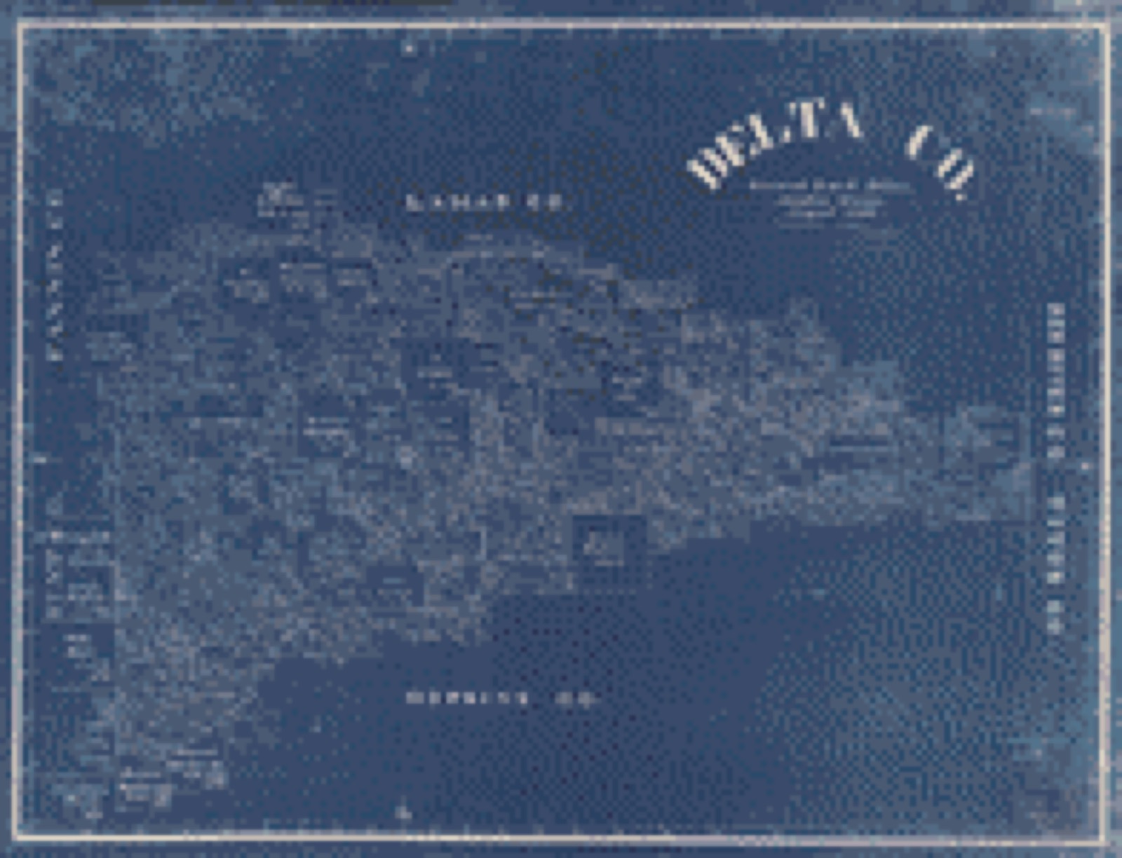
Bird's-eye views and land ownership maps
1Drawn when these were printed as single large sheets: the town seen from the air, and the county divided into its farms with every owner named. Each opens the original at the Library of Congress.
The county from the air
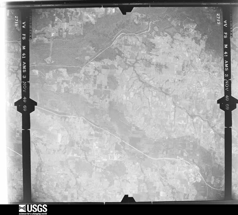
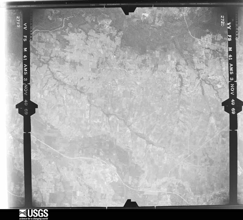
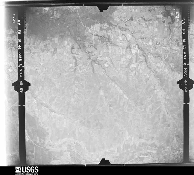
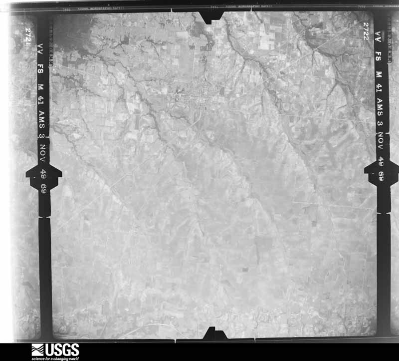
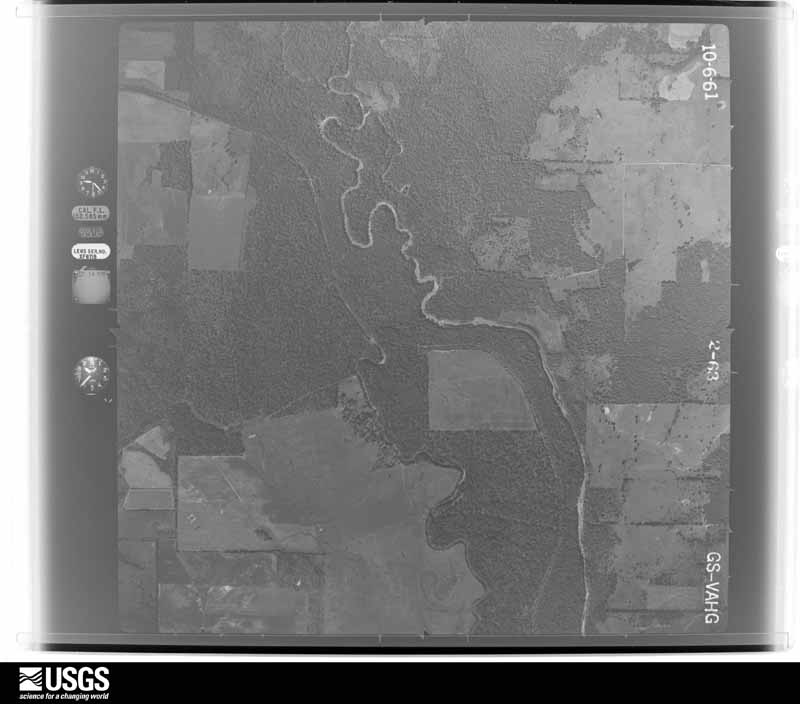
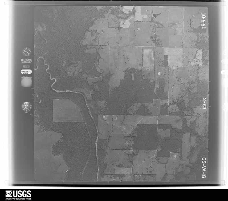
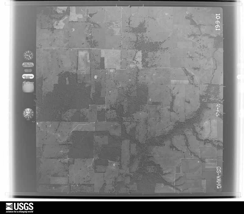
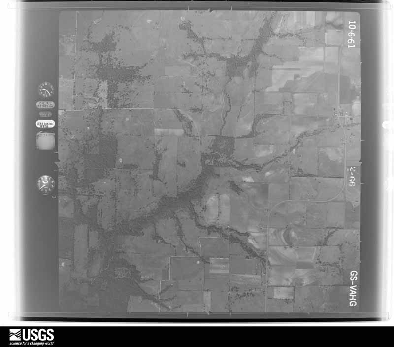
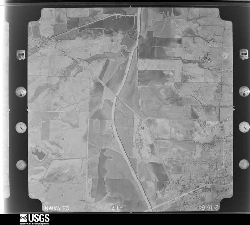
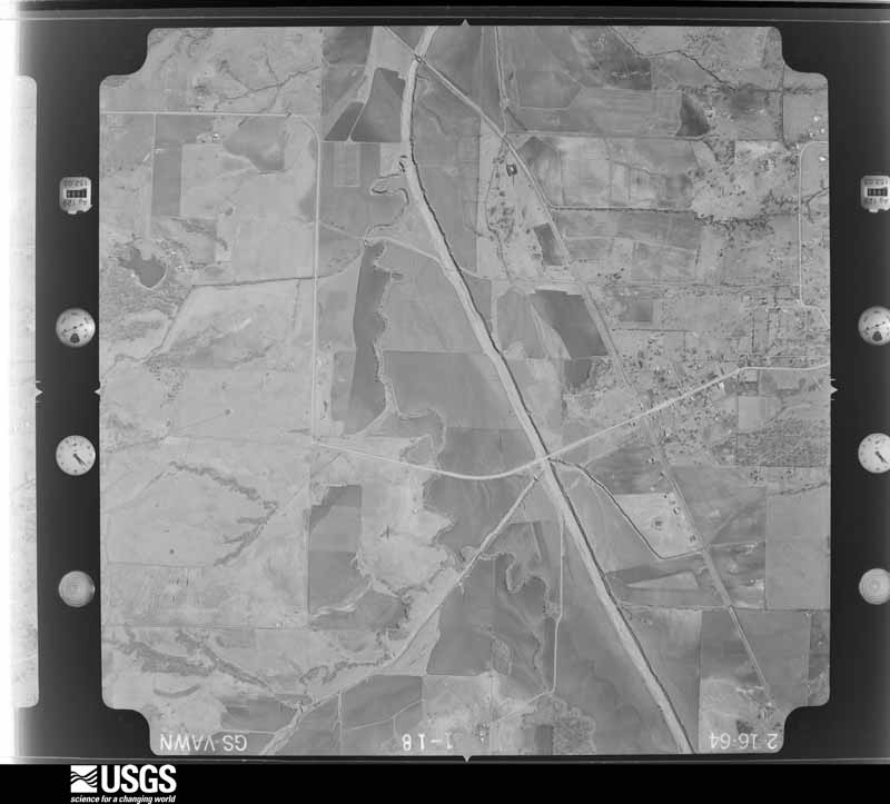
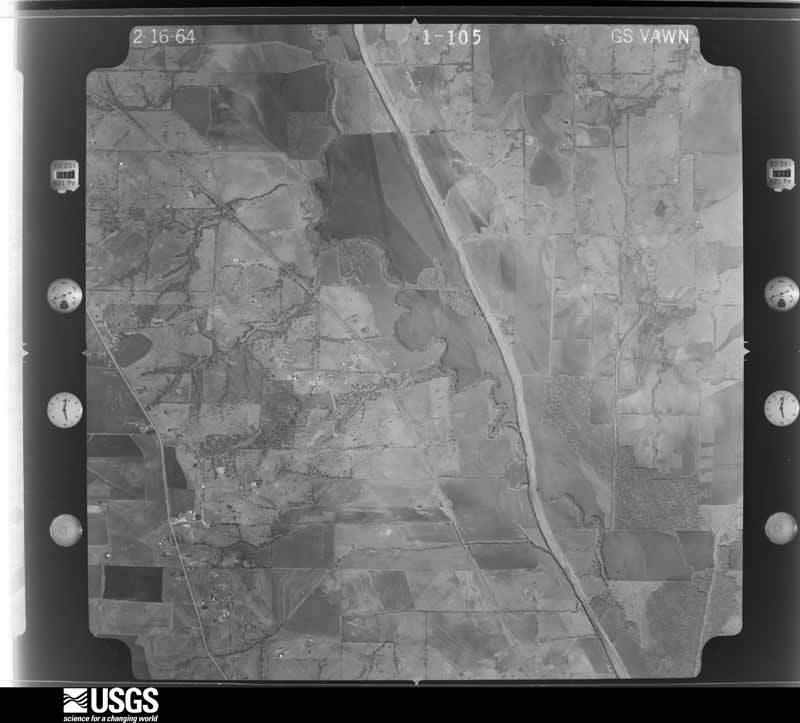
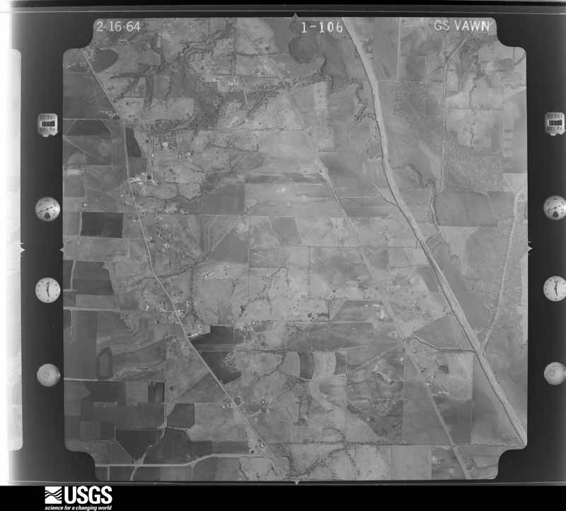
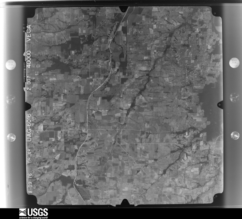
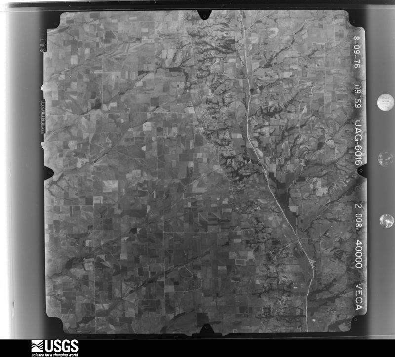
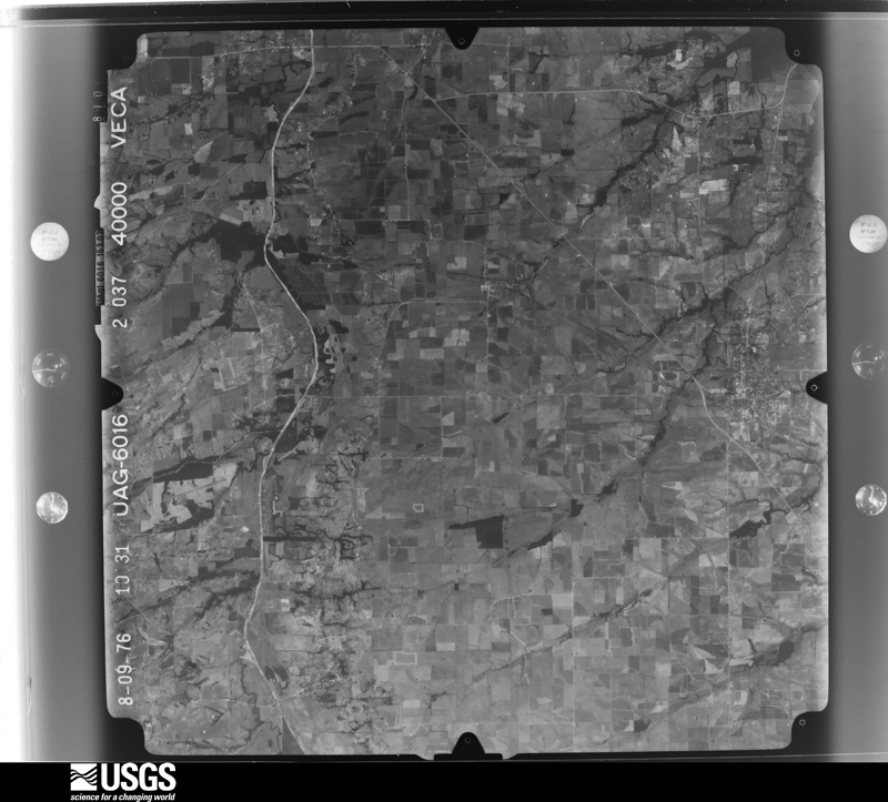
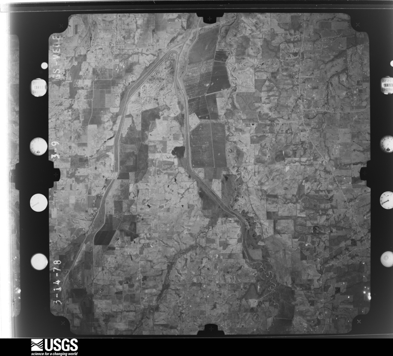
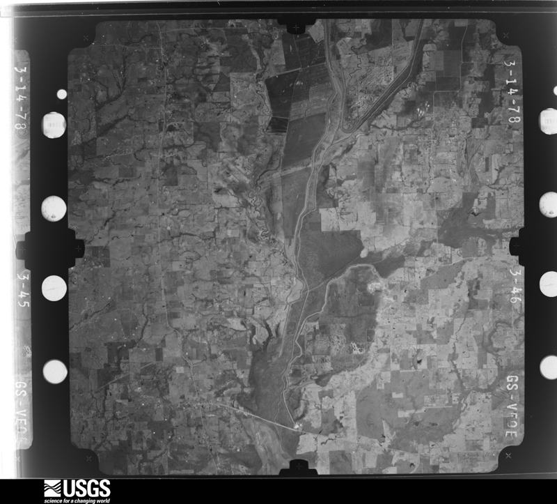
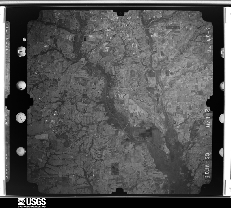
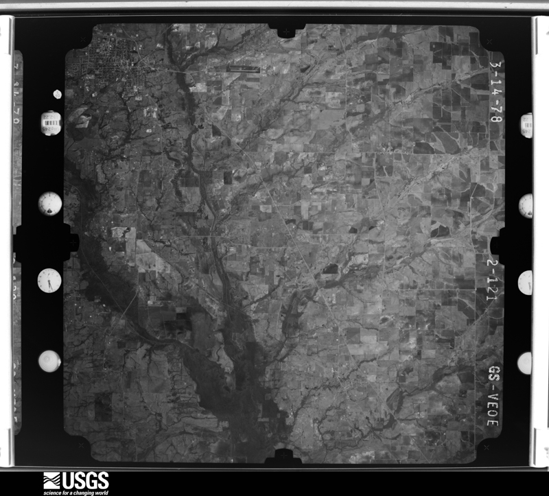
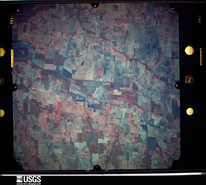
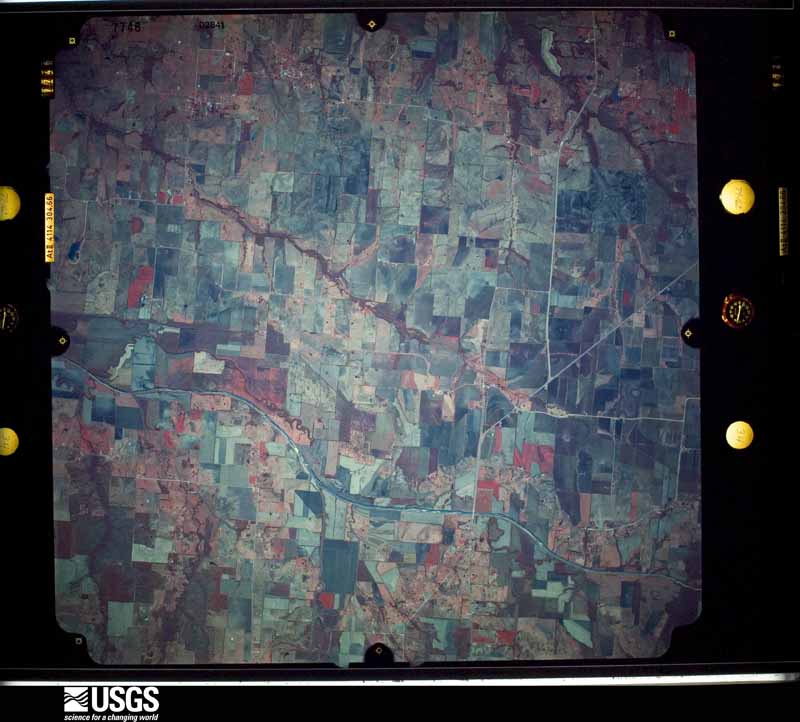
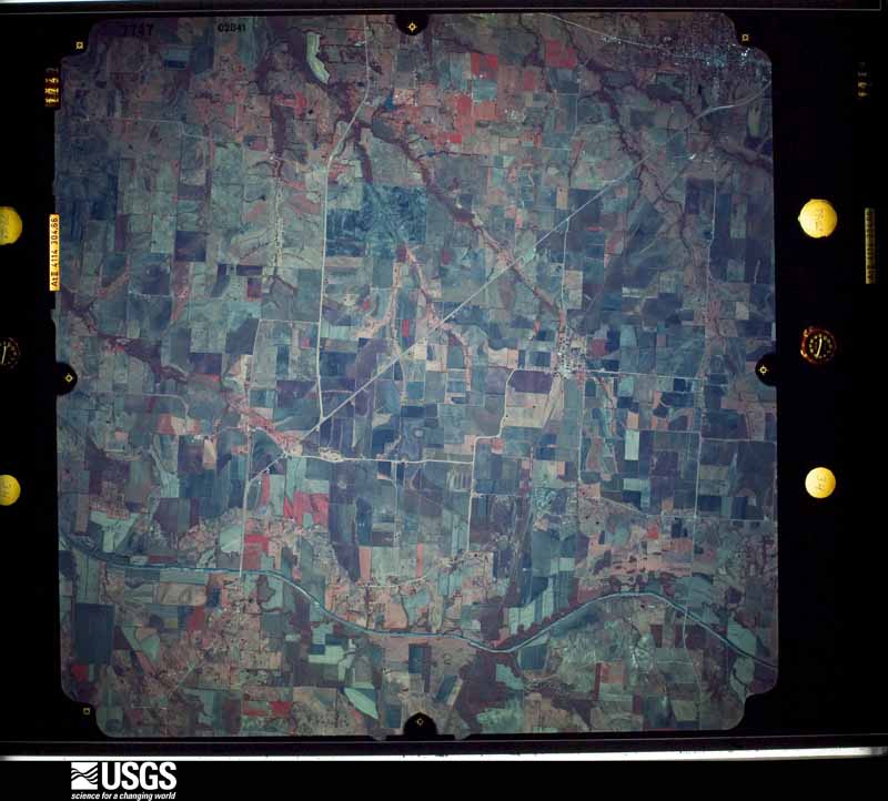
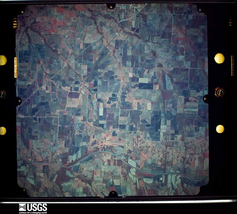
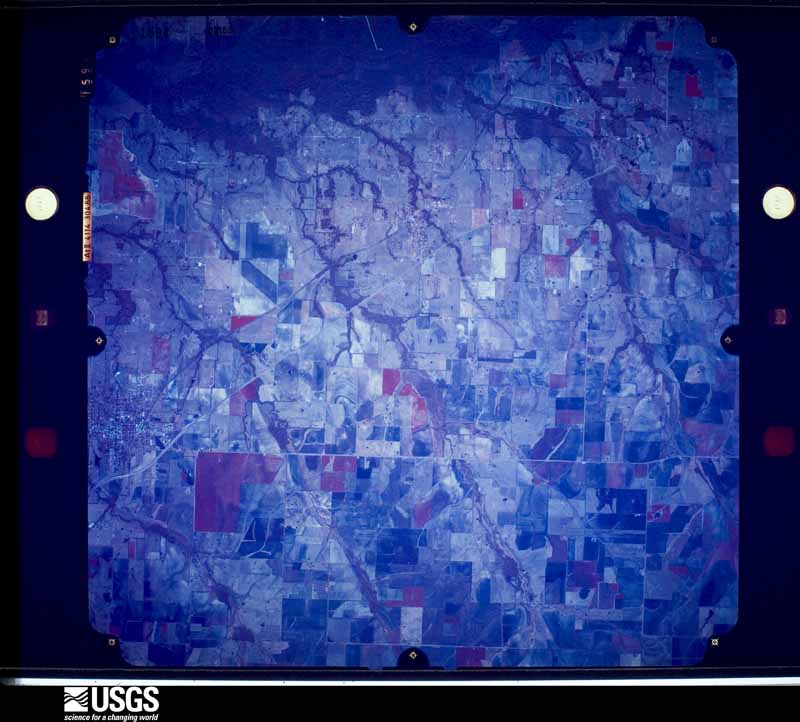
27 shownFlown by the U.S. Geological Survey between 1937 and 1989, the Aerial Photo Single Frames collection is the definitive mid-century view of the land: fields, roads and rivers as the camera saw them. The Survey holds 662 frames inside the rectangle that bounds this county; the 27 frames below were taken over the county itself, chosen across the decades of flights (at most four a year from that rectangle), so one flight cannot crowd out the rest. The full set is free to browse and download at EarthExplorer under the dataset Aerial Photo Single Frames.



Weather records
1 station, 1 gageThe thermometers that kept this county's weather, and the gages that measured the flow of its streams, as the federal records hold them. The extremes below are measured values from those records, not estimates.
- COOPER 1944 to 2026
- S Sulphur Rv nr Cooper, TX 1942 to 2026
The 1950 census, district by district
18 districtsWho lived here in 1950, one enumeration district at a time, as the Census Bureau described each district. Each row opens its official National Archives result, with Population Schedules and ED Maps available there.
- 60-1Justice Precinct 1: Cooper city: Cooper city - That part Bounded by City limits; City limits; Fort Worth Ave. S.E., Fort Worth Ave. S.W.; City limits
- 60-2Cooper city - That part Bounded by Fort Worth Ave. S.W.; First S.W.; City limits; City limits
- 60-3Cooper city - That part Bounded by Fort Worth Ave. S.E.; City limits; City limits; First S.W.
- 60-4Justice Precinct 1 - That part east of Texas and New Orleans Railroad, and north of Big Creek
- 60-5Justice Precinct 1 - That part west of Texas and New Orleans Railroad, outside Cooper city
- 60-6Justice Precinct 1 - That part south of Big Creek, and east of Texas and New Orleans Railroad, outside Cooper city
- 60-7Justice Precinct 2: Justice Precinct 2 - That part north of State Hwy. 24
- 60-8Justice Precinct 2 - That part south of State Hwy. 24, and northwest of Texas and New Orleans Railroad
- 60-9Justice Precinct 2 - That part southeast of Texas and New Orleans Railroad
- 60-10Justice Precinct 3: Pecan Gap city
- 60-11Justice Precinct 3 - That part east of Big Creek, Unnamed road extending through Ben Franklin to junction with Gulf, Colorado and Santa Fe Railway and southeast of Gulf, Colorado and Santa Fe Railway
- 60-12Justice Precinct 3 - That part west of Unnamed road extending from Gulf, Colorado and Santa Fe Railway through Ben Franklin to junction with Big Creek, west of Big Creek. and east of Rattan - Ben Franklin Rd.
- 60-13Justice Precinct 3 - That part north of Gulf, Colorado and Santa Fe Railway, west of Ben Franklin - Rattan Rd., and north and east of Rattan - Pecan Gap Rd., outside Pecan Gap city
- 60-14Justice Precinct 3 - That part west and south of the Rattan - Pecan Gap Rd., and west of Rattan - Ben Franklin Rd., outside Pecan Gap city
- 60-15Justice Precinct 4: Enloe town
- 60-16Justice Precinct 4 - That part outside Enloe town
- 60-17Justice Precinct 5: Justice Precinct 5 - That part northeast of Lake Creek
- 60-18Justice Precinct 5 - That part southwest of Lake Creek
Wildfire, 2003 to 2019
247 firesEvery wildfire the federal occurrence database records inside this county: 247 of them, burning about 3,167 acres. 6 started naturally and 6 were recorded as arson. Each settlement page carries the fires within five miles of it.
| Reported cause | Fires |
|---|---|
| Debris and open burning | 92 |
| Missing data/not specified/undetermined | 87 |
| Equipment and vehicle use | 48 |
| Natural | 6 |
| Arson/incendiarism | 6 |
| Power generation/transmission/distribution | 3 |
| Smoking | 3 |
| Recreation and ceremony | 1 |
| Misuse of fire by a minor | 1 |
The five largest, by the area the report gives. Two of them were set deliberately.
| Date | Cause | Size | Reported by | Name on the report |
|---|---|---|---|---|
| 14 March 2006 | Missing data/not specified/undetermined | 1,200 acres | Texas A & M Forest Service | 293-COOPER LAKE FIRE |
| 11 July 2006 | Equipment and vehicle use | 150 acres | Texas A & M Forest Service | ANTIOCH- 485 |
| 19 July 2011 | Equipment and vehicle use | 115 acres | Texas A & M Forest Service | PUTZ FIRE |
| 8 August 2016 | Equipment and vehicle use | 100 acres | Texas A & M Forest Service | DELTA COMMISH FIRE |
| 5 November 2008 | Arson/incendiarism | 80 acres | Texas A & M Forest Service | KLONDIKE NORTH BRANCH - 118 |
| 30 December 2007 | Arson/incendiarism | 75 acres | Texas A & M Forest Service | LINDEN - 212 |
| 18 January 2006 | Missing data/not specified/undetermined | 75 acres | Texas A & M Forest Service | LINDEN - 107 |
| 12 October 2017 | Equipment and vehicle use | 75 acres | Texas A & M Forest Service | MORRIS FIRE |
Every settlement page carries the fires within five miles of it - see the settlement index below.
Storms, 1954 to 2026
60 of 197 shownThe NOAA Storm Events Database holds 197 reports for this county, causing 2 deaths, 19 injuries and about $1,124,300 in recorded property damage. Each settlement page carries the reports that name it.
| Kind of event | Reports |
|---|---|
| Thunderstorm Wind | 88 |
| Hail | 75 |
| Flash Flood | 25 |
| Tornado | 7 |
| Flood | 2 |
The most serious of them, by death, then injury, then recorded damage. The accounts are quoted exactly as the forecast office filed them.
| When | Event | Place named | Harm | What the report says |
|---|---|---|---|---|
| June 1954 | Tornado (F2) | not stated | 1 killed, 8 hurt, $25,000 | no account filed |
| April 1957 | Tornado (F2) | not stated | 1 killed, 2 hurt, $25,000 | no account filed |
| May 2024 | Thunderstorm Wind | Enloe | 7 hurt, $150,000 | Thunderstorm wind damage due to 80 mph winds was observed across northern Delta County from the Enloe area to the Lake Creek area. The damage started along FM 128, extending east to just past a warehouse business near FM 1335 and Hwy 19. Damage consisted of notable tree damage and structural damage to house roofs and metal roofs. A home near FM 2675 and FM 2949N had windows broken due to wind driven hail. Several trees on the property were uprooted and/or snapped, too. Local officials reported 7 people were injured from the wind driven hail. |
| April 1964 | Tornado (F3) | not stated | 2 hurt, $25,000 | no account filed |
| May 2008 | Thunderstorm Wind | Cooper | $150,000 | Widespread wind damage was reported with numerous trees and power poles blown down. Some large trees were uprooted. A downburst likely caused the damage, which had a track of about two miles long by a mile and a half wide. Several roofs were ripped off businesses and residences, and street signs and awnings were twisted. The radio tower at the Delta County Law Enforcement Center was broken in half. |
| April 2017 | Hail | Klondike | $75,000 | A social media report indicated ping pong ball sized hail in the city of Klondike, TX. |
| May 2003 | Tornado (F1) | Klondike | $75,000 | Tornado touchdown between Klondike and Horton on FM 1520. The Fisherman's Motel and Marina in the Klondike area received major roof damage. Several homes had structural damage including roof damage from fallen trees. Residents of the area had no power, telephone service, or water for much of Sunday. |
| May 2024 | Hail | Ben Franklin | $60,000 | Spotter report of 2 inch hail in northern Delta County, along FM 128. This hail was wind-driven by 80 mph winds causing notable damage. |
| December 2015 | Flood | Pecan Gap | $50,000 | Several county and farm-to-market roads remained flooded across the county after several inches of heavy rain. |
| March 2012 | Thunderstorm Wind | Lake Creek | $50,000 | Damaging downburst winds caused damage near the intersection of State Highway 24 and FM 198. A small barn lost most of its roof, and on the other side of the intersection, a large metal storage building also lost most of its roof. The roof was tossed about a hundred yards from the building. Part of the walls of the storage building collapsed as well. The storage building was determined to be a metal and wood frame with part of the roof partially rotted. |
| March 2000 | Thunderstorm Wind | Cooper | $50,000 | Trees were blown down and four businesses damaged. Flooding was reported along low lying roads in the eastern part of the county after 2000C. |
| April 1996 | Hail | Klondike | $50,000 | no account filed |
| April 2014 | Hail | Cooper | $40,000 | The Delta County Emergency Manager reported golf ball sized hail in the city of Cooper. |
| June 1997 | Thunderstorm Wind | Lake Creek | $30,000 | Strong winds blew the roof and the porch off a home. |
| October 2002 | Flash Flood | Cooper | $25,000 | County roads flooded southwest of Cooper. |
| November 1998 | Thunderstorm Wind | Cooper | $25,000 | Two cars were destroyed when thunderstorm winds blew down trees onto them. |
| June 1997 | Thunderstorm Wind | Lake Creek | $25,000 | Strong winds flipped a mobile home and blew down trees. |
| May 2022 | Thunderstorm Wind | Rattan | $20,000 | A home sustained damage on FM 64 southeast of Pecan Gap. The roof was damaged and water entered the home. |
| May 2022 | Thunderstorm Wind | Ben Franklin | $20,000 | A large tree snapped and fell on the end of a manufactured home, damaging the roof of the home. |
| January 2020 | Tornado (EF0) | Cooper | $20,000 | A small supercell thunderstorm moved northeast into Delta County, Texas, spawning a brief tornado on the west side of the City of Cooper. The tornado formed about two blocks south of West Dallas Avenue in west Cooper, destroying a small outbuilding and causing minor roof and tree damage. The tornado moved northeast, crossing Dallas Avenue and pulling the roof and an exterior cinder block wall off of a small commercial building. Exterior siding damage also occurred to a two-story apartment complex nearby. The tornado continued toward the northeast, seriously damaging a large sheet metal cotton gin building. Minor tree and structural damage continued for approximately another 200 yards before the tornado dissipated south of State Highway 24. This tornado was rated an EF-0 with maximum winds of 85 mph. |
| May 2009 | Thunderstorm Wind | Cooper | $20,000 | The roof of a building on the west side of the square in Cooper collapsed. The incoming water broke the windows and doors, scattering debris onto Dallas Avenue. |
| January 2025 | Flash Flood | Horton | $10,000 | Emergency management reported that a car was swept off the road by high water on County Road 2065 in Horton. |
| April 2011 | Thunderstorm Wind | Cooper | $10,000 | Large trees were knocked down at the intersection of 4th Street and Terrell Ave. Power lines were also knocked down in the city of Cooper. |
| September 2000 | Thunderstorm Wind | Cooper | $10,000 | Two mobile homes were damaged by high thunderstorm winds. |
| April 2026 | Hail | Horton | $7,000 | Report of 1.75 inch hail from mPING. |
| July 2022 | Thunderstorm Wind | Prattville | $5,000 | Strong thunderstorms damaged a property on Delta County Road 1120 peeling shingles off the roof, damaging outdoor furniture, peeling siding off an older home, and breaking wood paneling along a barn/garage. |
| January 2020 | Tornado (EF0) | Enloe | $5,000 | The same supercell that produced the earlier Cooper tornado moved northeast about 4 miles and spawned a second very brief tornado near Enloe, in northern Delta County. The tornado touched down in an open field just southeast of Enloe, destroying a couple of small outbuildings and scattering the debris downwind a few hundred yards. The debris pattern exhibited a subtle cyclonic orientation, implying a brief, weak tornado. The tornado was rated an EF-0 with maximum winds of 75 mph. |
| April 2014 | Thunderstorm Wind | Klondike | $5,000 | A trained spotter recorded a wind gust to the south of Cooper on Highway 24. Several trees were damaged in the vicinity. |
| April 2011 | Hail | Klondike | $5,000 | Quarter to golfball sized hail fell in Klondike, which is approximately 4 miles southwest of Cooper. |
| April 2008 | Thunderstorm Wind | Cooper | $5,000 | Several trees and large limbs were blown down across the county. |
| May 1994 | Thunderstorm Wind | Ben Franklin | $5,000 | Trees were blown down by thunderstorm winds. |
| May 1994 | Thunderstorm Wind | Cooper Lake | $5,000 | Trees were blown down by thunderstorm winds. |
| November 1994 | Thunderstorm Wind | Cooper | $5,000 | Roofs were damaged and trees were blown down by high winds. |
| November 1994 | Thunderstorm Wind | Cooper | $5,000 | High winds blew the roofs off two out buildings. |
| May 2006 | Hail | Pecan Gap | $5,000 | no account filed |
| June 2008 | Thunderstorm Wind | Cooper | $3,000 | Large limbs were broken and fences were damaged. |
| August 2003 | Thunderstorm Wind | Klondike | $3,000 | Numerous power lines blown down and 4 inch diameter limbs broken by high winds. |
| January 2025 | Flash Flood | Enloe | $2,000 | Several roads were closed due to high water near the city of Cooper including FM 1529, FM 3388, and FM 1531. |
| October 2001 | Thunderstorm Wind | Ben Franklin | $2,000 | A storage shed was unroofed by thunderstorm winds. |
| May 2000 | Thunderstorm Wind | Cooper | $2,000 | Trees and power lines were blown down by high thunderstorm wind. |
| May 2000 | Thunderstorm Wind | Klondike | $2,000 | Trees and power lines were blown down by high thunderstorm wind. |
| July 1997 | Thunderstorm Wind | Cooper | $2,000 | A barn was blown over by strong winds. |
| April 1997 | Thunderstorm Wind | Cooper | $2,000 | Numerous trees and power lines were blown down. |
| June 1995 | Thunderstorm Wind | Cooper | $2,000 | Power lines were blown down by high winds. |
| April 1996 | Thunderstorm Wind | Klondike | $2,000 | no account filed |
| April 1996 | Thunderstorm Wind | Cooper | $2,000 | no account filed |
| May 2022 | Thunderstorm Wind | Pecan Gap | $1,000 | The metal covering over a house roof was partially peeled off. |
| July 1998 | Thunderstorm Wind | Cooper | $500 | A portable sign was blown down onto a road. |
| November 1994 | Thunderstorm Wind | Cooper | $500 | A tree was blown down across Highway 24 on the Hunt/Delta county line. |
| November 1994 | Thunderstorm Wind | Cooper | $500 | A utility pole was blown down by high winds. |
| November 1994 | Thunderstorm Wind | Horton | $500 | A utility pole was blown down by high winds in the extreme southwest corner of Delta County. |
| April 1999 | Thunderstorm Wind | Charleston | $100 | Trees and power lines were knocked down by thunderstorm winds. |
| April 1999 | Thunderstorm Wind | Cooper | $100 | Trees were blown down by thunderstorm winds. |
| April 1999 | Thunderstorm Wind | Pecan Gap | $100 | Thunderstorm winds knocked trees and power lines down. |
| April 2025 | Flash Flood | Enloe | - | A mPing report for flooding was received from the city of Cooper. |
| April 2025 | Flash Flood | Enloe | - | Emergency management reported several county road closures near Cooper including the following: FM 2068, FM 128, FM 1529, and FM 71. State Highway 24 North on the southbound lanes was also closed due to flooding on the low bridge. |
| June 2025 | Hail | Cooper | - | Photo received from the public of hail slightly larger than quarters just outside of Cooper. |
| May 2024 | Hail | Ben Franklin | - | Spotter reported quarter-sized hail in northern Delta County along FM 128. |
| June 2023 | Thunderstorm Wind | Needmore | - | A social media picture indicated trees down near the intersection of FM 1531 and Highway 24, just south of Klondike, TX. |
| June 2023 | Thunderstorm Wind | Charleston | - | A trained spotter reported trees down along Highway 19 near the South Sulphur River. |
Every populated place in the county
27Named settlements recorded in the Geographic Names Information System, each with the topographic sheets covering it. Villages, hamlets and abandoned places alike. Each is shown with the nearest named watercourse or landform and the survey quadrangle it falls on.
-
Cooper
Cooper census division · 75432 · On East Fork Big Creek · Cooper South quadrangle
8 sheets, 1953 to 1991
-
Friendship
Pecan Gap census division · 75448 · On Honey Creek · Cooper South quadrangle
8 sheets, 1953 to 1991
-
Gough
Pecan Gap census division · 75432 · On West Fork Jernigan Creek · Klondike quadrangle
9 sheets, 1953 to 1991
-
Horton
Pecan Gap census division · 75428 · On Barnett Creek · Klondike quadrangle
9 sheets, 1953 to 1991
-
Liberty Grove
Cooper census division · 75432 · On Cannon Creek · Cooper South quadrangle
8 sheets, 1953 to 1991
-
Mount Joy
Cooper census division · 75432 · On Justiss Creek · Charleston quadrangle
8 sheets, 1953 to 1991
-
Mount Joy Crossing
Cooper census division · 75432 · On Justiss Creek · Charleston quadrangle
8 sheets, 1953 to 1991
-
West Delta
Pecan Gap census division · 75448 · On West Fork Jernigan Creek · Klondike quadrangle
9 sheets, 1953 to 1991
Provenance
- Topographic sheets. USGS Historical Topographic Map Collection, county index, measured from the bulk metadata.
- Fire insurance maps. Library of Congress Sanborn collection, faceted to this county.
- Photographs. Each place queried individually against the Library of Congress Prints and Photographs search.
- Wildfire. Short, Karen C. 2022. Spatial wildfire occurrence data for the United States, 1992-2020 [FPA_FOD_20221014]. 6th Edition. Fort Collins, CO: Forest Service Research Data Archive. https://doi.org/10.2737/RDS-2013-0009.6 Collected with United States Government funding and usable without additional permissions or fees.
- Mines and quarries. USGS Mineral Resources Data System (MRDS) https://mrdata.usgs.gov/mrds/ A work of the United States government, no copyright under 17 U.S.C. 105.
- Storms. NOAA National Centers for Environmental Information, Storm Events Database https://www.ncei.noaa.gov/stormevents/ A work of the United States government, no copyright under 17 U.S.C. 105. Narratives are quoted verbatim from the National Weather Service report and are not edited or summarised.