 Block
BlockFrom the record
3 National Register listings published here.
Sources: the National Register database, National Park Service
30 topographic sheets cover 13 settlements here, and 3 properties are on the National Register of Historic Places.
3 National Register listings published here.
Sources: the National Register database, National Park Service
Every property in this county listed on the National Register of Historic Places, with the year it was listed and the federal nomination document.
| Photograph | Property | Type | Listed | Reference |
|---|---|---|---|---|
 | Dimmit County Courthouse | building | 1984 | 84001652 |
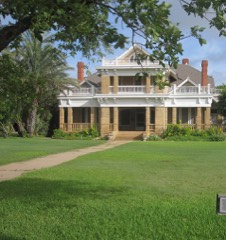 | Asher and Mary Isabelle Richardson House | building | 1988 | 88002539 |
| Valenzuela Ranch Headquarters | district | 1985 | 85001562 |
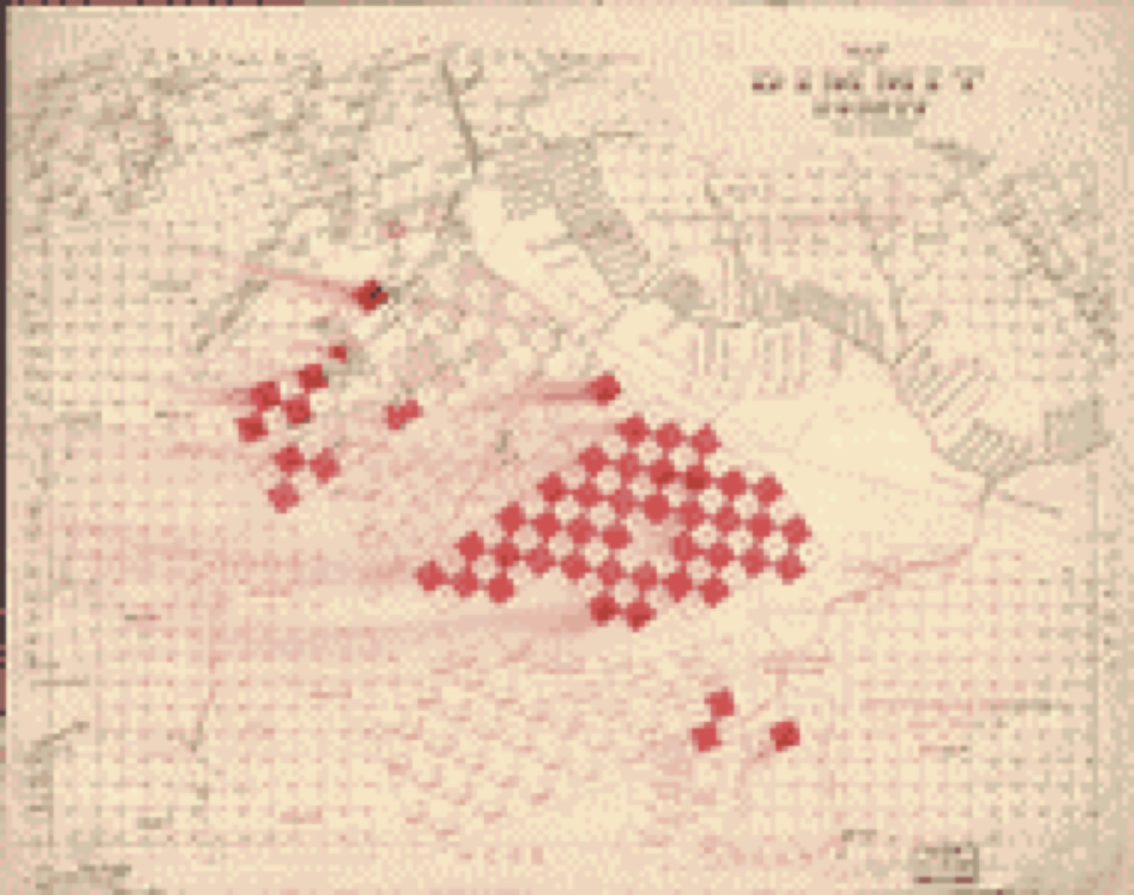
Drawn when these were printed as single large sheets: the town seen from the air, and the county divided into its farms with every owner named. Each opens the original at the Library of Congress.


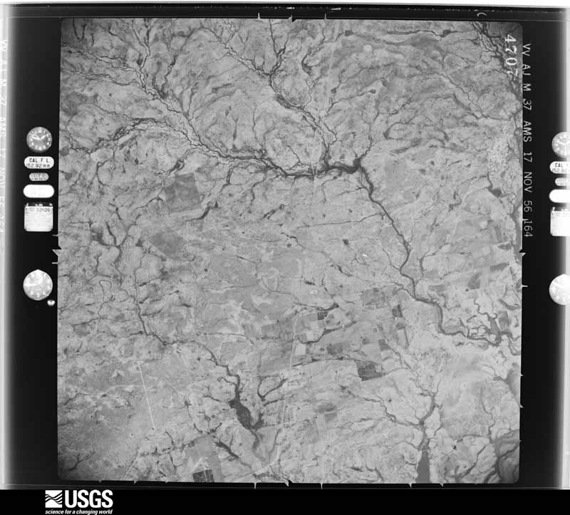
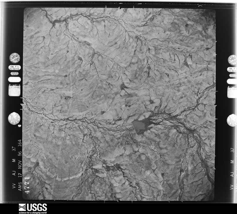
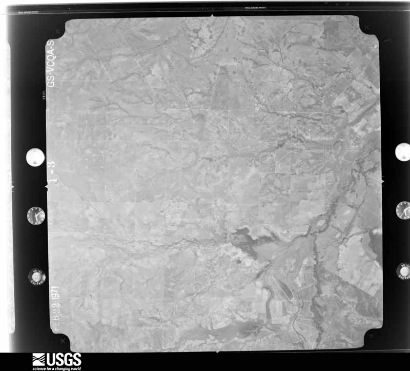
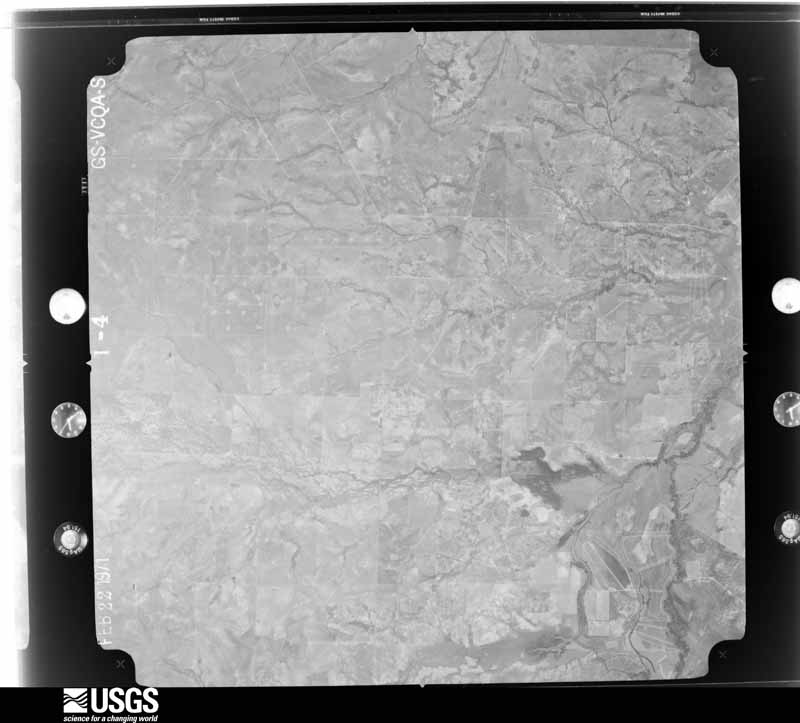
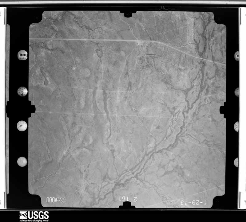
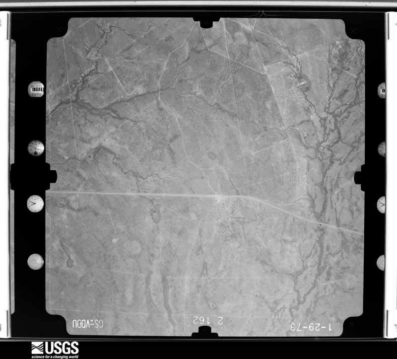
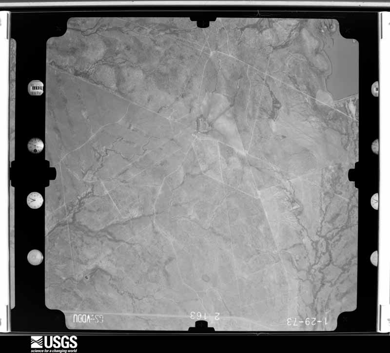
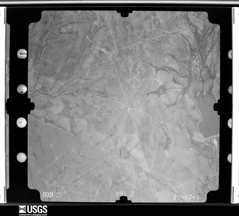
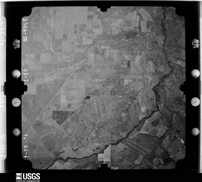
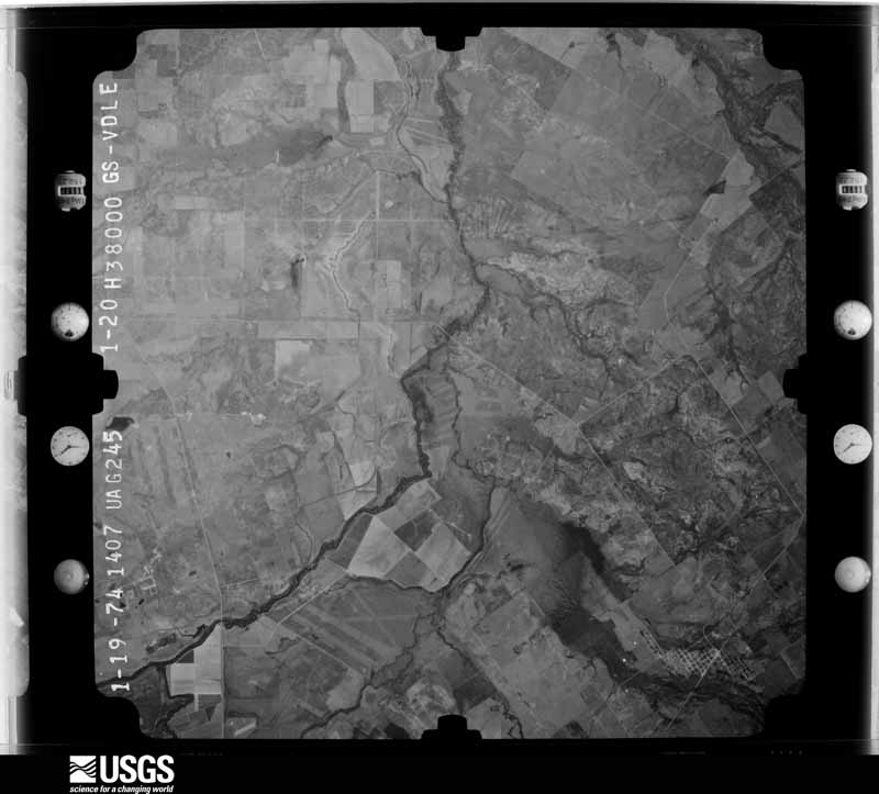
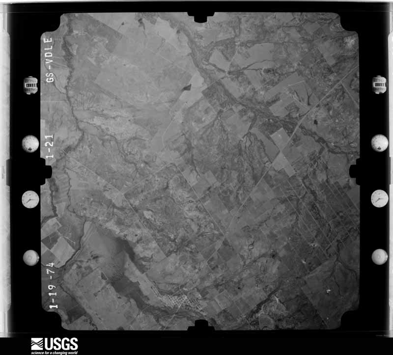
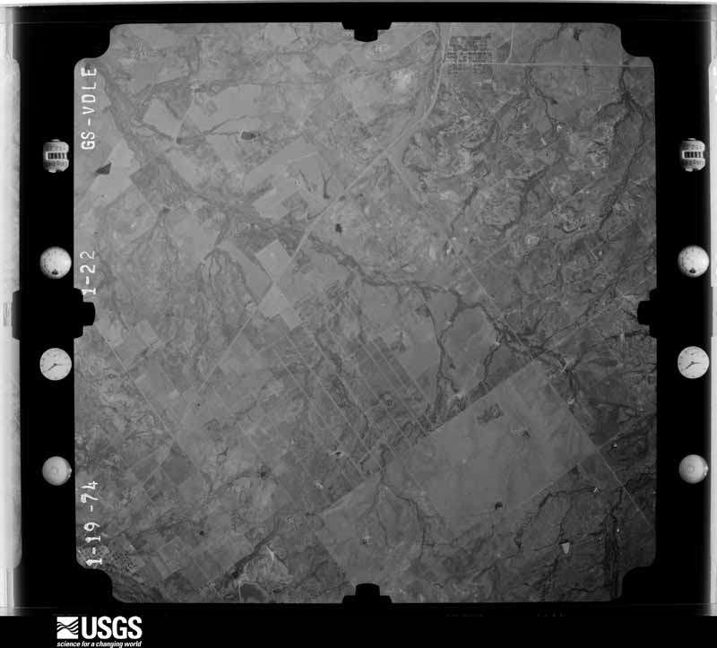
Flown by the U.S. Geological Survey between 1937 and 1989, the Aerial Photo Single Frames collection is the definitive mid-century view of the land: fields, roads and rivers as the camera saw them. The Survey holds 938 frames inside the rectangle that bounds this county; the 16 frames below were taken over the county itself, chosen across the decades of flights (at most four a year from that rectangle), so one flight cannot crowd out the rest. The full set is free to browse and download at EarthExplorer under the dataset Aerial Photo Single Frames.
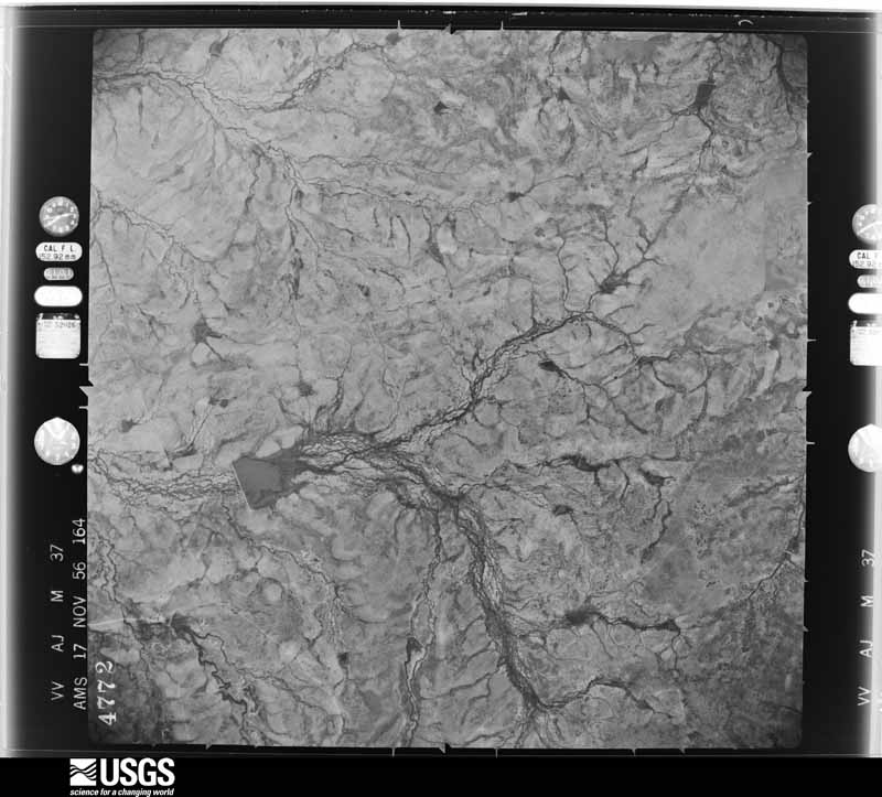
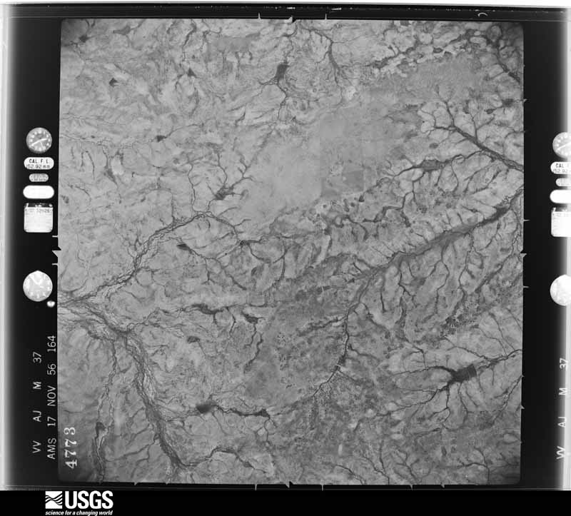
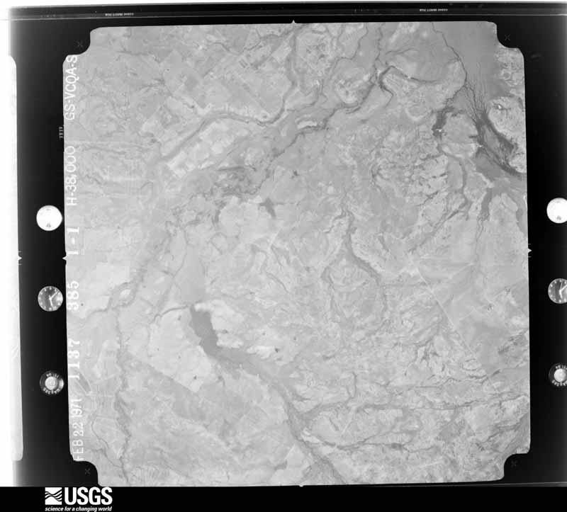
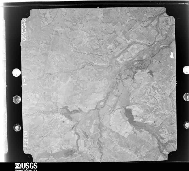
The thermometers that kept this county's weather, and the gages that measured the flow of its streams, as the federal records hold them. The extremes below are measured values from those records, not estimates.
Who lived here in 1950, one enumeration district at a time, as the Census Bureau described each district. Each row opens its official National Archives result, with Population Schedules and ED Maps available there.
Every wildfire the federal occurrence database records inside this county: 152 of them, burning about 88,957 acres. 2 started naturally and 10 were recorded as arson. Each settlement page carries the fires within five miles of it.
| Reported cause | Fires |
|---|---|
| Missing data/not specified/undetermined | 86 |
| Debris and open burning | 30 |
| Equipment and vehicle use | 17 |
| Arson/incendiarism | 10 |
| Natural | 2 |
| Recreation and ceremony | 2 |
| Smoking | 2 |
| Misuse of fire by a minor | 2 |
| Power generation/transmission/distribution | 1 |
The five largest, by the area the report gives. None of them was recorded as arson.
| Date | Cause | Size | Reported by | Name on the report |
|---|---|---|---|---|
| 14 March 2008 | Missing data/not specified/undetermined | 67,500 acres | Texas A & M Forest Service | 322 FIRE (133) |
| 15 April 2008 | Equipment and vehicle use | 3,500 acres | Texas A & M Forest Service | not named |
| 31 January 2008 | Missing data/not specified/undetermined | 3,000 acres | Texas A & M Forest Service | not named |
| 26 February 2008 | Missing data/not specified/undetermined | 2,000 acres | Texas A & M Forest Service | COMMANCHE - 69 |
| 15 April 2008 | Missing data/not specified/undetermined | 2,000 acres | Texas A & M Forest Service | not named |
| 1 February 2008 | Missing data/not specified/undetermined | 1,000 acres | Texas A & M Forest Service | not named |
| 8 May 2008 | Equipment and vehicle use | 810 acres | Texas A & M Forest Service | BUCK HORN RANCH |
| 11 August 2015 | Equipment and vehicle use | 807 acres | Texas A & M Forest Service | LA BANDERA |
Every settlement page carries the fires within five miles of it - see the settlement index below.
The NOAA Storm Events Database holds 134 reports for this county, causing no deaths, no injuries and about $1,293,500 in recorded property damage. Each settlement page carries the reports that name it.
| Kind of event | Reports |
|---|---|
| Hail | 60 |
| Flash Flood | 43 |
| Thunderstorm Wind | 21 |
| Flood | 4 |
| Tornado | 3 |
| Lightning | 2 |
| Funnel Cloud | 1 |
The most serious of them, by death, then injury, then recorded damage. The accounts are quoted exactly as the forecast office filed them.
| When | Event | Place named | Harm | What the report says |
|---|---|---|---|---|
| March 2016 | Lightning | Palm | $500,000 | Some oil tanks were ignited by a lightning strike in Dimmit County one mile south of the Zavala County line. Fourteen tanks were lost, and two holding tanks and their contents were saved. |
| September 2021 | Lightning | Brundage | $250,000 | Lightning started a fire at a oilfield tank battery near the intersection of Hwy 85 and FM 190 near Brundage. One of the damaged tanks released hydrogen sulfide. Hwy 85, FM 190, FM 1556, FM 65, and FM 1407 were closed and residents in the area were asked to shelter in place. |
| May 2007 | Thunderstorm Wind | Carrizo Spgs | $100,000 | Severe thunderstorm winds blew down trees and power lines in the Carrizo Springs area. The winds also damaged roofs in the city. |
| August 2004 | Thunderstorm Wind | Valley Wells | $100,000 | Severe thunderstorm winds struck a ranch between Valley Wells and Catarina, just south of the Nueces River. The winds damaged a barn and blew down several trees. |
| June 1994 | Thunderstorm Wind | Big Wells | $50,000 | ,Gusts from the thunderstorm blew over numerous trees. Nearly 2 inches of rain fell with the storm. |
| May 2001 | Thunderstorm Wind | Carrizo Spgs | $35,000 | no account filed |
| March 2003 | Thunderstorm Wind | Carrizo Spgs | $30,000 | The NWS survey indicated noted spotty roof damage and several trees knocked over in the town of Big Wells. Residents reported strong winds for 20 to 30 minutes, along with brief heavy rain and small hail. Similar damage was also noted along SH83 in northwest Dimmit County. |
| October 2003 | Flash Flood | Countywide | $30,000 | The showers and thunderstorms continued to spread to the south and east, crossing into Dimmit County just before midnight. The storms produced a general 1 to 2 inch rainfall over the county, with isolated totals in the southeast part of the county to 5 inches. Numerous roads were closed from near midnight into the early morning hours. |
| June 2001 | Thunderstorm Wind | Asherton | $30,000 | Severe thunderstorm winds blew down power lines and trees in the Asherton area. |
| May 2025 | Thunderstorm Wind | Carrizo Spgs | $25,000 | A thunderstorm produced wind gusts estimated at 70 mph that snapped power poles and damaged a business sign on Hwy 277 in Carrizo Springs. |
| September 1988 | Tornado (F0) | not stated | $25,000 | no account filed |
| February 1971 | Tornado (F2) | not stated | $25,000 | no account filed |
| August 1999 | Flash Flood | Southwest Portion | $20,000 | no account filed |
| May 2025 | Thunderstorm Wind | Carrizo Spgs Arpt | $10,000 | A thunderstorm produced wind gusts estimated at 70 mph that damaged the front porch of a house and bent a metal post in Carrizo Springs. |
| June 2010 | Thunderstorm Wind | Catarina | $10,000 | A thunderstorm produced wind gusts estimated at 50 mph which knocked down power lines and caused minor damage to a house. |
| June 1997 | Flash Flood | Countywide | $10,000 | Heavy rainfall caused flash flooding over several county roads during the early morning hours. |
| April 1998 | Hail | Asherton | $10,000 | no account filed |
| February 2024 | Thunderstorm Wind | Asherton | $5,000 | A thunderstorm produced wind gusts estimated at 70 mph that blew down some large trees and damaged fences and outdoor structures in Asherton. |
| May 1994 | Hail | Asherton | $5,000 | One-inch hail with very heavy rain fell in the city of Asherton. |
| September 1998 | Flash Flood | North Portion | $5,000 | no account filed |
| May 1994 | Hail | Big Wells | $5,000 | no account filed |
| March 2004 | Flash Flood | Asherton | $3,000 | As the showers and thunderstorms moved over southeast Dimmit County, they slowed, producing general 1 inch totals with up to 3 inches of rain in the Asherton area. FM 1157 was closed due to flash flooding through the mid morning period near Asherton. |
| March 1998 | Flash Flood | Countywide | $3,000 | General rainfall of 2 inches with isolated totals of up to 4 inches produced flash flooding over much of Dimmit County |
| August 1998 | Flash Flood | Northeast Portion | $3,000 | no account filed |
| April 1972 | Tornado (F1) | not stated | $2,500 | no account filed |
| May 2025 | Thunderstorm Wind | Carrizo Spgs | $2,000 | A thunderstorm produced wind gusts estimated at 60 mph that snapped 3-6 inch diameter tree limbs in Carrizo Springs near the intersection of US 83 and US 277. |
| April 2026 | Hail | Asherton | - | A thunderstorm produced golf ball size hail in Asherton. Report was from a picture on social media. |
| April 2026 | Hail | Asherton | - | A thunderstorm produced chicken egg to baseball size hail at the White Wing Motel on Hwy 83 northwest of Asherton. |
| April 2026 | Hail | Asherton | - | A thunderstorm produced quarter size hail in Asherton. |
| May 2025 | Hail | Carrizo Spgs | - | A thunderstorm produced hail up to quarter size at the intersection of US 83 and US 277 in Carrizo Springs. |
| September 2024 | Flash Flood | Catarina | - | Thunderstorms produced heavy rain that led to flash flooding closing Hwy 83 south of Catarina. |
| May 2021 | Flood | Asherton | - | Heavy rain caused minor street flooding in Asherton. |
| May 2021 | Flood | Big Wells | - | Heavy rain flooded a yard near Big Wells. |
| March 2020 | Hail | Catarina | - | A thunderstorm produced baseball size hail at a convenience store in Catarina. |
| March 2018 | Hail | Catarina | - | A thunderstorm produced half dollar size hail north of Catarina. |
| September 2017 | Flood | Catarina | - | Thunderstorms produced heavy rain that led to flooding closing FM 2688 in both directions west of Catarina. |
| September 2017 | Flash Flood | Valley Wells | - | Thunderstorms produced heavy rain that led to flash flooding requiring several people to be rescued from an oil field site and closing many ranch roads around Catarina. |
| May 2015 | Flash Flood | Winter Haven | - | Highway 277 was reportedly severely flooded about 4 miles northwest of the city of Carrizo Springs. |
| May 2015 | Flash Flood | Carrizo Spgs | - | The intersection of Highway 83 and FM 1407 and also Loop 517 were reportedly flooded. |
| May 2015 | Flash Flood | Bermuda | - | Highway 85 was reportedly flooded at the bridge crossing the Nueces River. |
| April 2015 | Hail | Carrizo Spgs | - | Quarter size hail was reported by the public. |
| April 2015 | Hail | Big Wells | - | Public report of hail larger than golf balls just outside of Big Wells via Twitter. |
| October 2015 | Flash Flood | Carrizo Spgs | - | Thunderstorms produced heavy rain that caused flash flooding closing FM1407 between Hwy83 and Hwy85. The junction of FM191 and Hwy277 was also closed due to flooding. |
| June 2013 | Flash Flood | Carrizo Spgs | - | Thunderstorms produced heavy rain that caused flash flooding in Carrizo Springs. Several vehicles were stuck in high water at San Pedro Ave. and 3rd St. |
| October 2013 | Flash Flood | Carrizo Spgs | - | Thunderstorms produced heavy rain that caused flash flooding in Dimmit County. Nearly all major roads in the county were closed due to high water including Highway 83 between Carrizo Springs and Asherton, FM1433, FM1407, FM1556, and FM468. A CoCoRaHS observer 3.0 miles NNE of Carrizo Springs reported a rainfall total of 17.67 inches of rain during this event. Several other rainfall totals of 11 to 13 inches were reported in the Carrizo Springs and Crystal City area. |
| October 2013 | Flash Flood | Carrizo Spgs | - | Thunderstorms produced heavy rain that caused flash flooding in Dimmit County. Highway 85 was closed between Carrizo Springs and Dilley and a few stranded motorists needed assistance. |
| October 2013 | Flash Flood | Big Wells | - | Thunderstorms produced heavy rain that caused flash flooding in Big Wells and Carrizo Springs. Parts of Highway 85 were covered with water and closed due to needed repair. Some homes in Carrizo Springs were flooded up to the window sills. A co-op observer in Carrizo Springs reported 10.65 inches and a co-op observer in Big Wells reported 9.50 inches. |
| June 2012 | Thunderstorm Wind | Carrizo Spgs | - | A thunderstorm produced wind gusts estimated at 58 mph that produced widespread damage in Carrizo Springs. A number of roofs and walls were damaged and a number of trees and telephone poles were knocked down. |
| May 2012 | Funnel Cloud | Big Wells | - | A thunderstorm produced a funnel cloud north of Big Wells. |
| April 2010 | Flash Flood | Carrizo Spgs | - | Slow moving thunderstorms produced heavy rain and flooding which closed FM 1407 and FM 1557 in Carrizo Springs. |
| May 2009 | Hail | Brundage | - | There were also reports of trees down near Brundage. |
| May 2009 | Hail | Dentonia | - | There was nickel to golfball size hail reported at the Briscoes Catarina Ranch. |
| October 2009 | Flash Flood | Carrizo Spgs | - | Heavy rain caused flooding which closed 11th Street in Carrizo Springs. |
| April 2008 | Hail | Winter Haven | - | Nickel size hail fell at a ranch along Highway 277. |
| April 2008 | Hail | Asherton | - | The Circle V Ranch center in Carrizo reported nickel size hail in Asherton. |
| July 2007 | Flash Flood | Carrizo Spgs | - | Thunderstorms in Maverick County and northwestern Dimmit County dropped 3 to 4 inches of rain. US83 and FM2644 were closed northwest of Carrizo Springs. |
| July 2007 | Flash Flood | Carrizo Spgs | - | Storms produced 2-4 inch totals in a northwest to southeast oriented line across central Dimmit County. Closed were US 83 and FM2644, and FM191. |
| July 2007 | Flash Flood | Carrizo Spgs | - | The thunderstorms from Zavala County moved into Dimmit County during the late morning, producing between 2 and 3 inches of rain over the county. Highest totals were around 5 inches north of Carrizo Springs near the Zavala County line and south of Catarina near the Webb County line. US83 was closed south of Catarina and US277 was closed north of Carrizo Springs. US85and FM190 were also reported to be closed due to flash flooding. |
| July 2007 | Flash Flood | Carrizo Spgs | - | Scattered thunderstorms produced general 2 to 3 inch rainfall over Dimmit and Frio Counties in the early afternoon. Up to 3 inches fell in 2 hours at Carrizo Springs, flooding many of the roads in the town. FM2644 and US 85 were closed near Carrizo Springs. |
| June 2007 | Flash Flood | Carrizo Spgs | - | Thunderstorms moving southeastward over Dimmit county produced between 2 and 3 inches of rain in 90 minutes. Heaviest rain was in the western half of the county, with up to 3 inches in the southwest portion. |
The Survey's mineral resources record lists 3 workings inside this county. All of them still produce. Each settlement page carries the workings within five miles of it.
| Commodity | Workings |
|---|---|
| Natural Gas | 2 |
| Sulfur | 2 |
| Sand and Gravel, Construction | 1 |
The least common of them first, because a county's hundredth gravel pit says nothing its first ten did not.
| Where | Site | Commodity | Status | Recorded |
|---|---|---|---|---|
| Unnamed Gravel Pits | Sand and Gravel, Construction | Producer | Sand | |
| Perry Gas Processors Sulfur Plant | Natural Gas, Sulfur | Producer | ||
| Ventech Gas Processors Sulfur Plant | Natural Gas, Sulfur | Producer |
Named settlements recorded in the Geographic Names Information System, each with the topographic sheets covering it. Villages, hamlets and abandoned places alike. Each is shown with the nearest named watercourse or landform and the survey quadrangle it falls on.
Big Wells census division · 78830 · On Galvaneño Creek · Big Wells quadrangle
8 sheets, 1939 to 1985
Carrizo Springs census division · 78834 · Carrizo Springs East quadrangle
9 sheets, 1939 to 1985
Carrizo Springs census division · 78834 · Carrizo Springs East quadrangle
9 sheets, 1939 to 1985
Carrizo Springs census division · 78834 · On Peñitas Creek · Carrizo Springs East quadrangle
9 sheets, 1939 to 1985
Carrizo Springs census division · 78834 · Crystal City quadrangle
10 sheets, 1939 to 1985
Carrizo Springs census division · 78834 · Carrizo Springs East quadrangle
9 sheets, 1939 to 1985