 Block
BlockDuval County, Texas
41 topographic sheets cover 35 settlements here.
Research this county
What the record shows
- 260 topographic sheet readings cover the county's settlements.
- The Geographic Names Information System records 35 populated places in this county; 35 are covered by at least one topographic sheet.
Bird's-eye views and land ownership maps
1Drawn when these were printed as single large sheets: the town seen from the air, and the county divided into its farms with every owner named. Each opens the original at the Library of Congress.
The county from the air
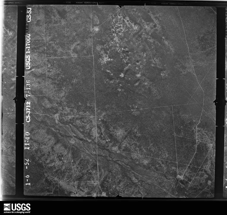
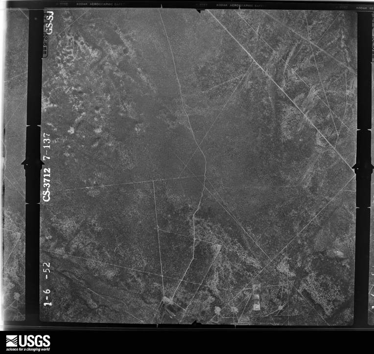
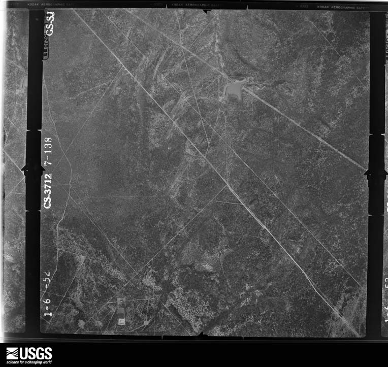
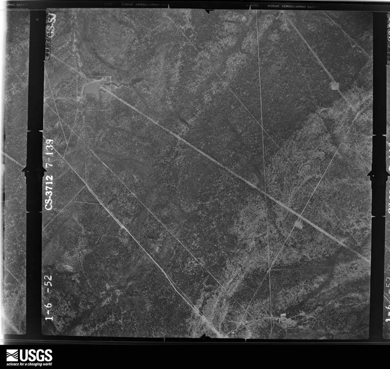
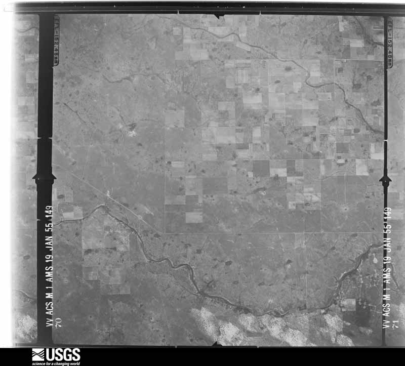
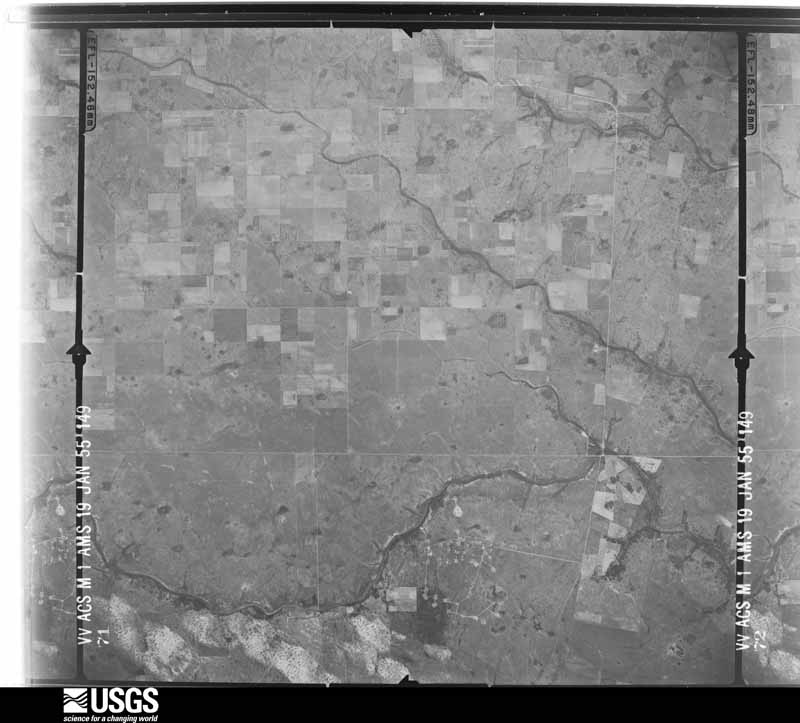
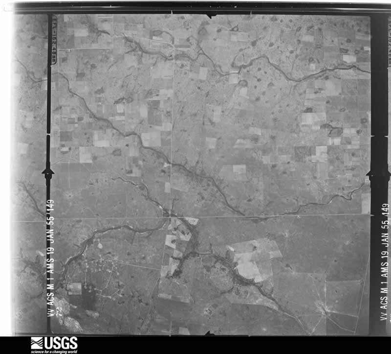
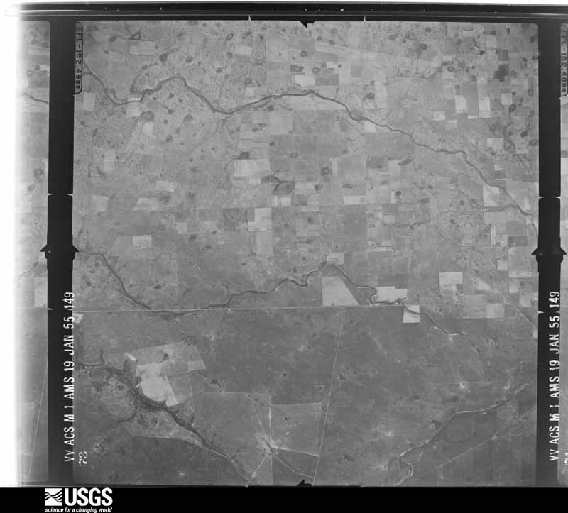
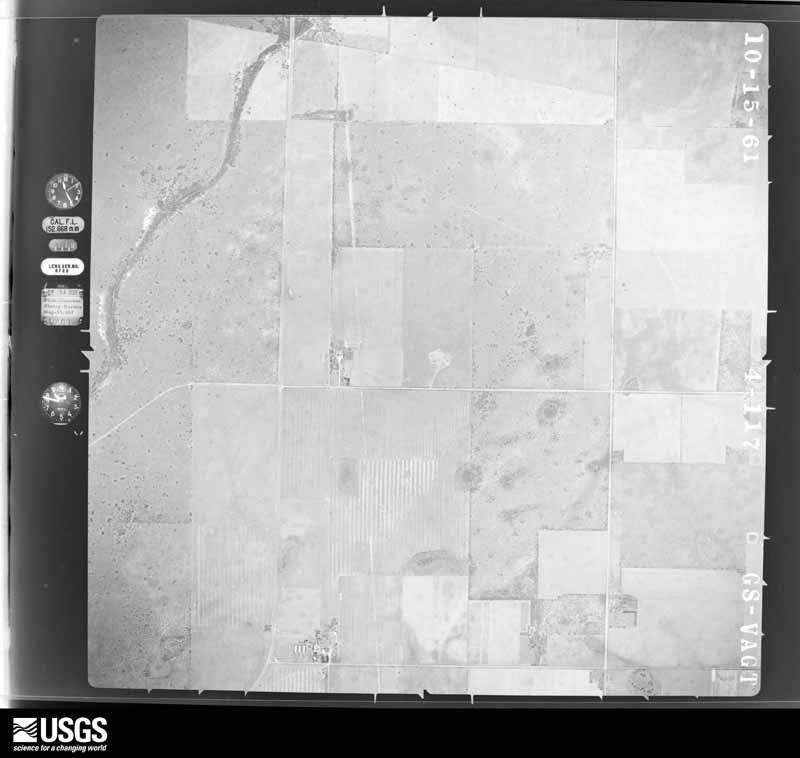
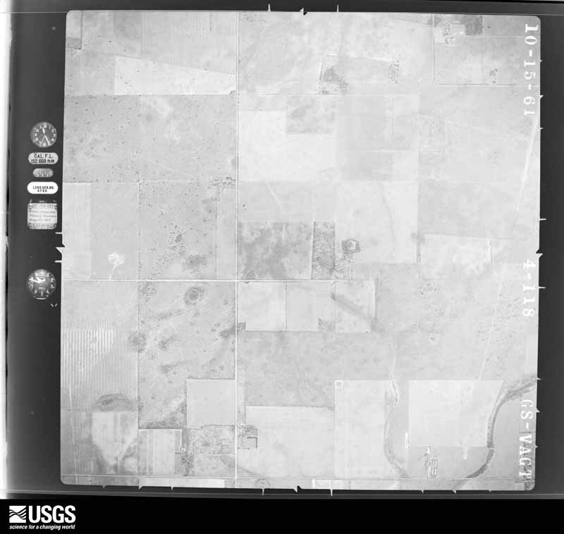
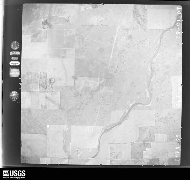
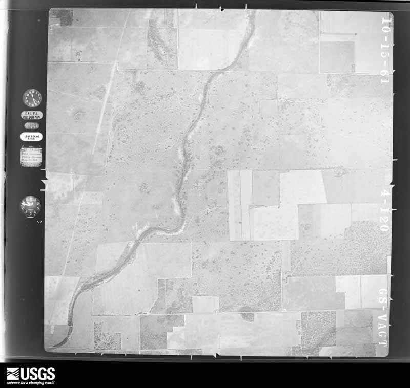
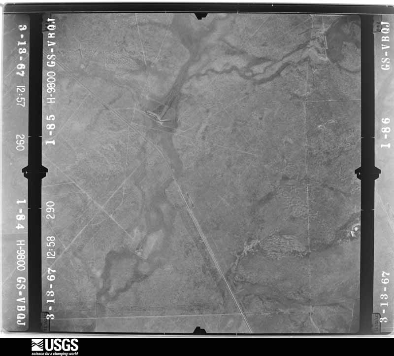
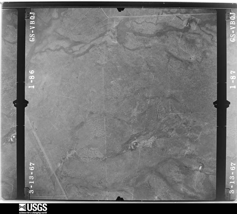
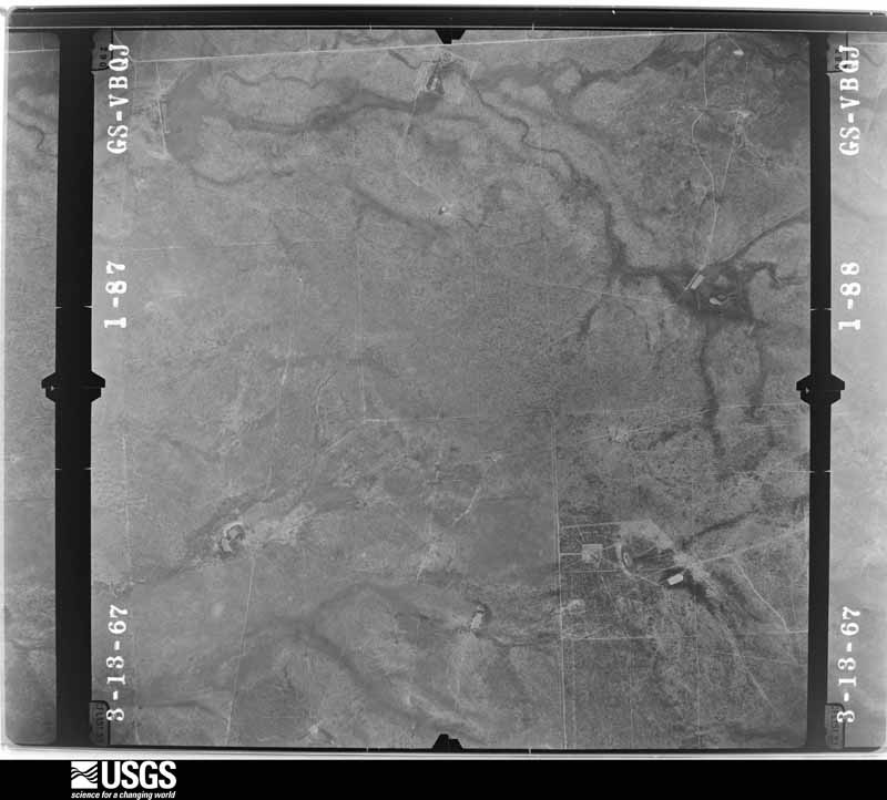
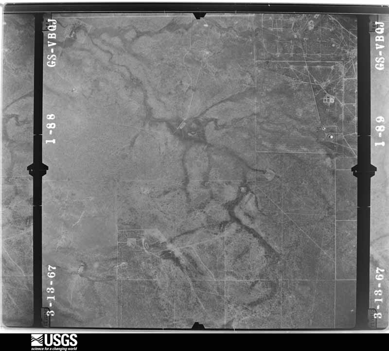
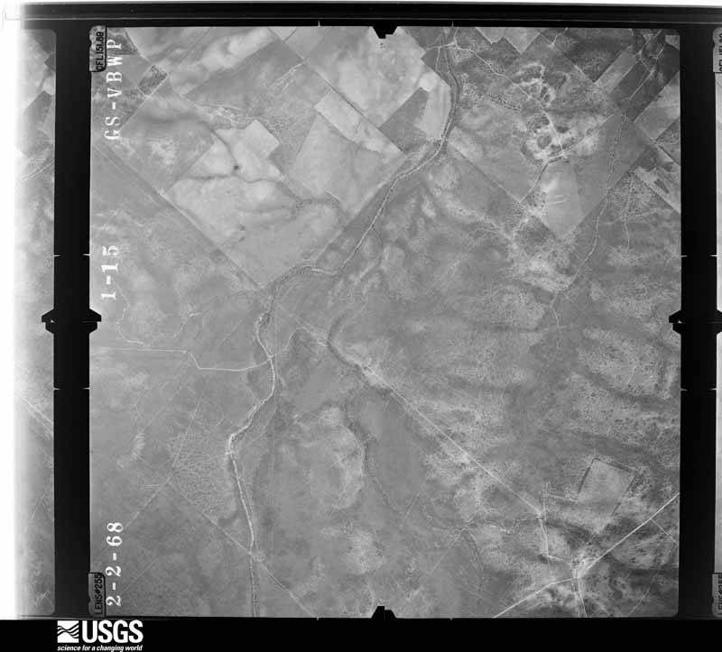
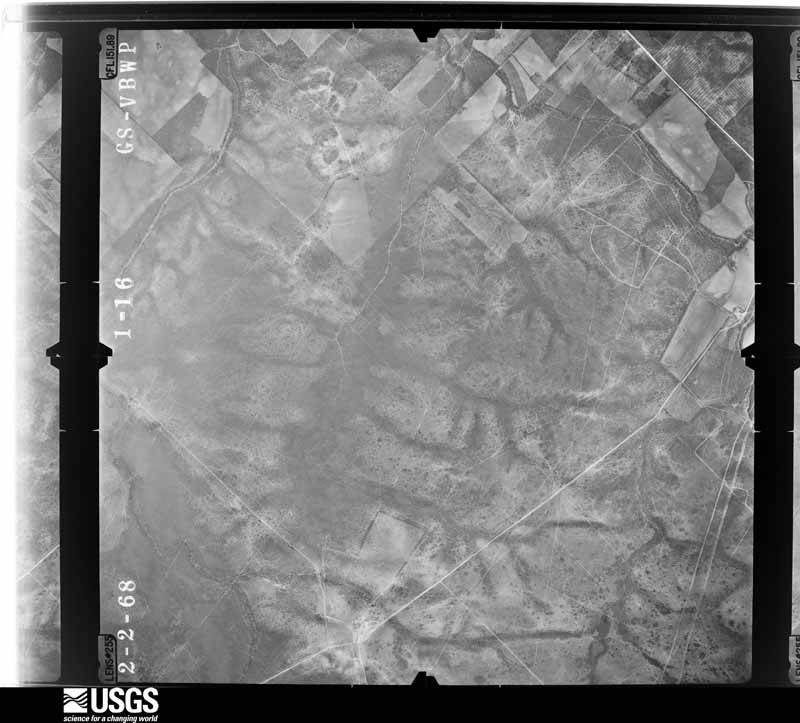
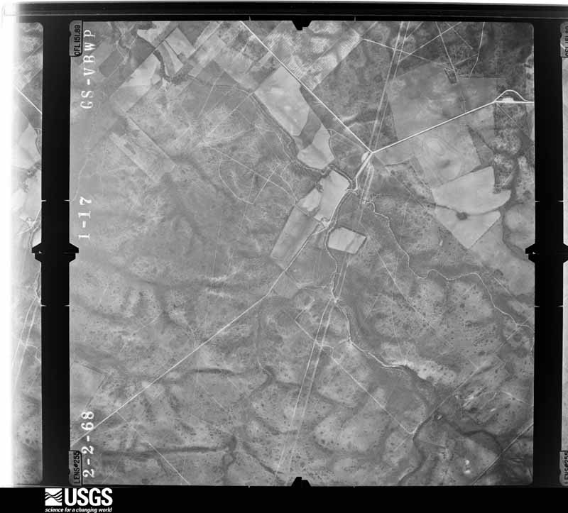
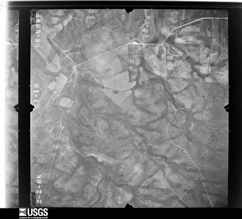
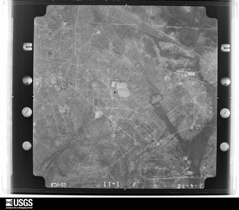
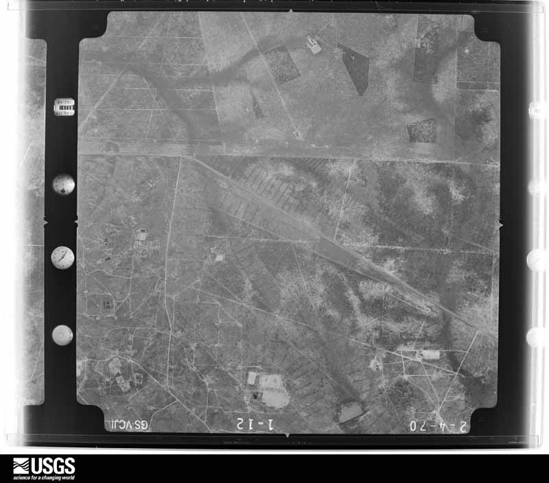
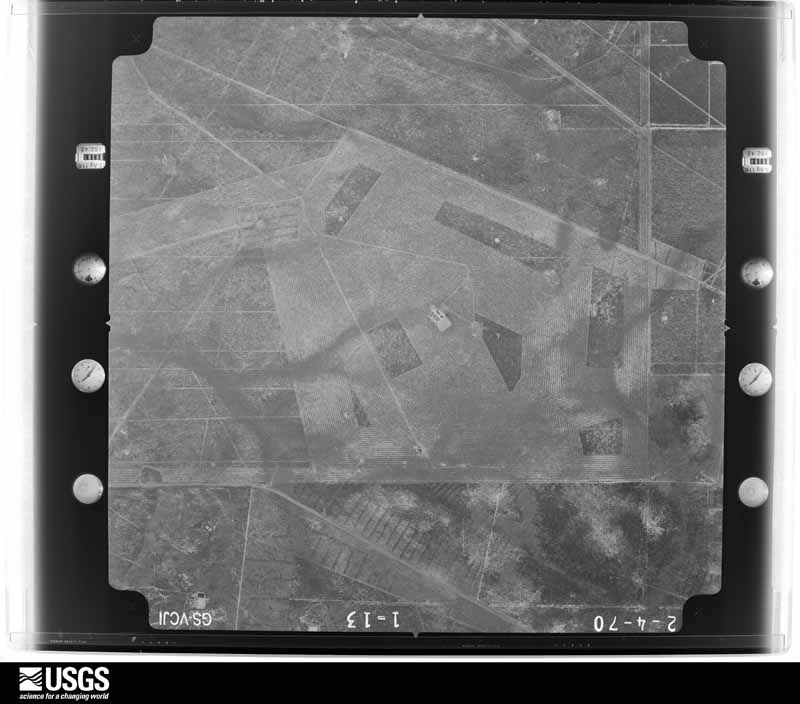
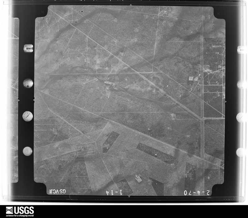
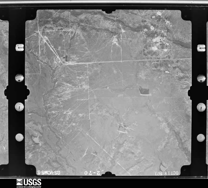
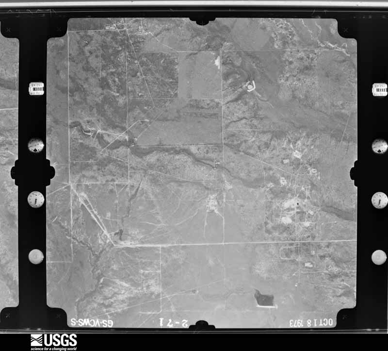
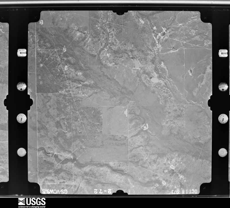
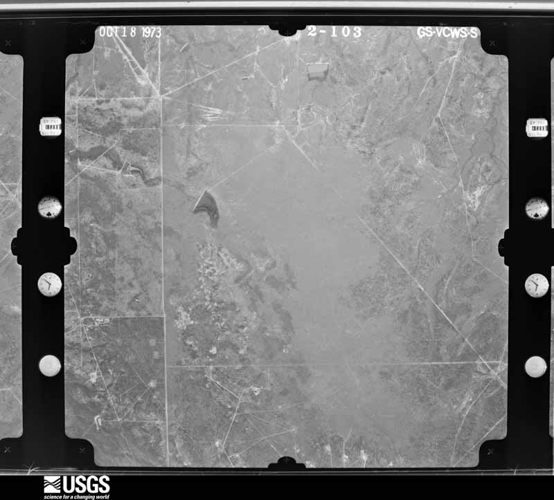
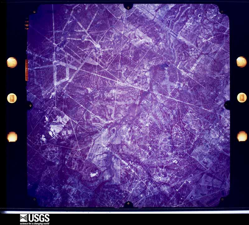
32 shownFlown by the U.S. Geological Survey between 1937 and 1989, the Aerial Photo Single Frames collection is the definitive mid-century view of the land: fields, roads and rivers as the camera saw them. The Survey holds 2,406 frames inside the rectangle that bounds this county; the 32 frames below were taken over the county itself, chosen across the decades of flights (at most four a year from that rectangle), so one flight cannot crowd out the rest. The full set is free to browse and download at EarthExplorer under the dataset Aerial Photo Single Frames.



Weather records
9 stationsThe thermometers that kept this county's weather, as the federal records hold them. The extremes below are measured values from those records, not estimates.
- CONCEPCION 3 S 1941 to 2001, hottest 45.0 C, coldest -13.3 C
- FREER 1947 to 2026, hottest 46.7 C, coldest -13.3 C
- BENAVIDES 1948 to 1951
- BENAVIDES #2 1962 to 2026, hottest 44.4 C, coldest -11.1 C
- HEBBRONVILLE 13.6 E 2009 to 2021
- CONCEPCION 1.7 S 2009 to 2010
- SAN DIEGO 0.7 SW 2010 to 2018
- REALITOS 0.7 SW 2010 to 2026
- FREER 6.5 NE 2020 to 2026
The 1950 census, district by district
26 districtsWho lived here in 1950, one enumeration district at a time, as the Census Bureau described each district. Each row opens its official National Archives result, with Population Schedules and ED Maps available there.
- 66-1Justice Precinct 1: San Diego city - That part in Duval County, comprising part of Justice Precinct 1: San Diego city - That part Bounded by City limits; County line; Gravis Ave.; City limits
- 66-2San Diego city - That part Bounded by Gravis Ave.; County line; San Joseph, Perez, City limits; City limits
- 66-3San Diego city - That part Bounded by San Joseph; County line; City limits; City limits, Perez (Remainder of San Diego city is in Justice Precinct 1, Jim Wells County)
- 66-4Justice Precinct 1 - That part north of State Hwy. 44, outside San Diego city
- 66-5Justice Precinct 1 - That part south of State Hwy. 44 and north of Texas Mexican Railway, outside San Diego city
- 66-6Justice Precinct 1 - That part south of Texas Mexican Railway, outside San Diego city
- 66-7Justice Precinct 2: Benavides city: Benavides city - That part Bounded by City limits; City limits; Texas Mexican Railway; Ave. A, Ave. A. extended
- 66-8Benavides city - That part Bounded by City limits; Ave. A. extended, Ave. A.; Texas Mexican Railway; City limits
- 66-9Benavides city - That part Bounded by Texas Mexican Railway; Animas; Brazil, Dunn, Court, U.S. Hwy. 59, City limits; City limits
- 66-10Benavides city - That part Bounded by Texas Mexican Railway; S. Humble, S. Humble extended; City limits; U.S. Hwy. 59, Court, Dunn, Brazil, Animas
- 66-11Benavides city - That part Bounded by Texas Mexican Railway; City limits; City limits; S. Humble extended, S. Humble
- 66-12Justice Precinct 2 - That part north and west of Texas Mexican Railway outside Benavides city
- 66-13Justice Precinct 2 - That part south and east of Texas Mexican Railway, outside Benavides city
- 66-14Justice Precinct 3: Justice Precinct 3 - That part north of Los Olmos Creek
- 66-15Justice Precinct 3 - That part south of Los Olmos Creek
- 66-16Justice Precinct 4
- 66-17Justice Precinct 5: Freer, unincorporated: Freer, unincorporated - That part Bounded by 1/4 mile offset line north of and parallel to Unnamed rd. Unnamed st., Unnamed rd., 200 ft. offset line east of and parallel to Unnamed rd.; Unnamed st. ext., Unnamed st., Unnamed st. ext.; Unnamed st.
- 66-18Freer, unincorporated - That part Bounded by 1/4 mile offset line north of and parallel to Unnamed rd.; Unnamed st.; Unnamed st.; Unnamed rd.
- 66-19Freer, unincorporated - That part Bounded by Unnamed st.; Unnamed rd.; Unnamed path, Unnamed rd.; Unnamed rd., Unnamed rd., Unnamed rd., Unnamed st., Unnamed st. ext.
- 66-20Justice Precinct 5 - That part north of State Hwy. 44 and east of State Hwy. 173, outside Freer, unincorporated (See separate map for boundaries of Freer)
- 66-21Justine Precinct 5 - That part west of State Hwy. 173, west and southwest of State Hwy. 339, outside Freer, unincorporated (See separate map for boundaries of Freer)
- 66-22Justice Precinct 5 - That part south of State Hwy. 44 and north and east of State Hwy. 339, outside Freer, unincorporated (See separate map for boundaries of Freer)
- 66-23Justice Precinct 6: Justice Precinct 6 - That part north of Crestonio - Ramirez Rd. and northwest of U.S. Hwy. 59
- 66-24Justice Precinct 6 - That part south of Crestonio - Ramirez Rd. and southeast of U.S. Hwy. 59
- 66-25Justice Precinct 7
- 66-26Justice Precinct 8
Wildfire, 2004 to 2019
125 firesEvery wildfire the federal occurrence database records inside this county: 125 of them, burning about 14,763 acres. None started naturally and 1 was recorded as arson. Each settlement page carries the fires within five miles of it.
| Reported cause | Fires |
|---|---|
| Missing data/not specified/undetermined | 80 |
| Debris and open burning | 21 |
| Equipment and vehicle use | 12 |
| Power generation/transmission/distribution | 6 |
| Recreation and ceremony | 2 |
| Smoking | 1 |
| Railroad operations and maintenance | 1 |
| Arson/incendiarism | 1 |
| Misuse of fire by a minor | 1 |
The five largest, by the area the report gives. None of them was recorded as arson.
| Date | Cause | Size | Reported by | Name on the report |
|---|---|---|---|---|
| 18 March 2008 | Missing data/not specified/undetermined | 3,500 acres | Texas A & M Forest Service | RAMIREZ - 105 |
| 27 April 2011 | Debris and open burning | 1,500 acres | Texas A & M Forest Service | CR266 FIRE |
| 21 January 2011 | Debris and open burning | 1,000 acres | Texas A & M Forest Service | 10615 CR 251 |
| 18 March 2008 | Missing data/not specified/undetermined | 1,000 acres | Texas A & M Forest Service | REALITOS |
| 14 March 2008 | Missing data/not specified/undetermined | 1,000 acres | Texas A & M Forest Service | not named |
| 10 January 2008 | Missing data/not specified/undetermined | 1,000 acres | Texas A & M Forest Service | ROSITA CUT-OFF |
| 14 March 2008 | Equipment and vehicle use | 550 acres | Texas A & M Forest Service | RENTZ - 97 |
| 26 January 2011 | Power generation/transmission/distribution | 500 acres | Texas A & M Forest Service | CR 250 |
Every settlement page carries the fires within five miles of it - see the settlement index below.
Storms, 1956 to 2026
60 of 217 shownThe NOAA Storm Events Database holds 217 reports for this county, causing no deaths, 2 injuries and about $8,283,750 in recorded property damage. Each settlement page carries the reports that name it.
| Kind of event | Reports |
|---|---|
| Hail | 84 |
| Thunderstorm Wind | 69 |
| Flash Flood | 36 |
| Tornado | 18 |
| Funnel Cloud | 4 |
| Flood | 3 |
| Heavy Rain | 2 |
| Lightning | 1 |
The most serious of them, by death, then injury, then recorded damage. The accounts are quoted exactly as the forecast office filed them.
| When | Event | Place named | Harm | What the report says |
|---|---|---|---|---|
| March 2013 | Hail | Benavides | 1 hurt, $5,250,000 | NWS storm survey concluded that baseball to softball sized hail fell across Benavides causing damage to nearly every home and business in the town. Damage included broken windows, doors, roofs, and siding. The damage was confined primarily to the north and east side of structures. Vehicles were severely dented with large holes in windshields or completely broken out. One person suffered a head injury. The severe hail damaged 258 residences, 100 abandoned homes, and 700 cars. |
| October 2005 | Thunderstorm Wind | San Jose | 1 hurt, $150,000 | An NWS storm survey concluded straight line winds severely damaged roughly 15 homes, a community center and church. Nearly all the damage was observed on the northwest sides of the structres with debris scattered to the southeast. Two mobile home were completely destoyed, with one man injured that was inside one of the mobile homes. The two mobile homes that were completly destroyed were oriented north-northeast to south-southwest, perpendicular to the northwest to southeast straight-line winds observed on radar. The damage from the two mobile homes was thrown to the southeast roughly 20 yards. In addition numerous large trees and power poles were uprooted and broken, all lying to the southeast direction. Several vehicles were also damaged by the uprooted trees and debris from homes. Winds were estimated between 80 and 100 mph. |
| March 2013 | Hail | Freer | $1,000,000 | NWS storm survey combined with Freer Fire Chief reports indicated that golf ball to baseball sized hail fell in the northeast portions of the city of Freer. The hail caused dents in vehicles including a new and used car lot. The baseball sized hail broke out windows in north facing buildings. Hail broke windshields out of the fire truck. |
| April 1993 | Tornado (F1) | Ramirez | $500,000 | The sheriff's office reported eight mobile homes were damaged and at least two were completely TEXAS, Southern Cont'd destroyed in Ramirez. Scattered power outages were reported in the county. |
| June 1983 | Tornado (F1) | not stated | $250,000 | no account filed |
| August 2022 | Flood | Realitos | $100,000 | Very heavy rainfall fell over Macho Creek in western Duval County with radar estimates showing 8 to 15 inches of rainfall. Flood waters rose on Macho Creek and moved into the community of Realitos. Two homes on south Cadena Street between Highway 359 and Adkins Street had water up to the window sills. Around 20 people were evacuated, with some of them going to a shelter in Benavides. Multiple agencies responded to the rescue effort. |
| August 2022 | Flash Flood | Realitos | $100,000 | Very heavy rainfall fell over Macho Creek in western Duval County with radar estimates showing 8 to 15 inches of rainfall. Flood waters rose on Macho Creek and moved into the community of Realitos. Two homes on south Cadena Street between Highway 359 and Adkins Street had water up to the window sills. Around 20 people were evacuated, with some of them going to a shelter in Benavides. Multiple agencies responded to the rescue effort. |
| May 2008 | Thunderstorm Wind | Benavides | $100,000 | Numerous large tree limbs were snapped and a few trees completely uprooted. Several power poles were blown down. At a high school, stadium lights were damaged and a dugout roof was ripped off at the baseball field. The high school roof auditorium was also damaged. Part of a gymnasium roof was also torn off. A NWS storm survey of the damage in Benavides revealed a divergent, downburst wind pattern about 1 mile wide and 3 miles long on the southwest side of the town, near Highway 359 and 339. Damage was mainly to trees, metal roofs and weaker, west facing structures. |
| May 2019 | Thunderstorm Wind | Benavides | $50,000 | Texas Department of Public Safety reported trees were blown down in Benavides. |
| May 2019 | Thunderstorm Wind | Benavides | $50,000 | Damaging winds were estimated to around 70 MPH in Benavides. Trees were blown down in the city. |
| March 2016 | Thunderstorm Wind | Benavides | $50,000 | Large healthy tree was uprooted along with other trees blown down. Roof damage occurred to a home. |
| March 2016 | Hail | Benavides | $50,000 | Quarter sized hail occurred in Benavides. |
| April 2010 | Flood | Concepcion | $50,000 | Excess runoff from heavy rainfall the day before led to flooding of Macho Creek near Realitos. Also, the Agua Pocquita Creek flooded, forcing the closure of FM 2295, between Benavides and Highway 16. One resident had to be rescued by helicopter from a racnh home on FM 2295. Many residents were evacuated from there homes in and around Realitos. Several rural homes were reported flooded. Damage estimated are very rough. |
| April 2010 | Lightning | Freer | $50,000 | Lightning struck an oil storage facility, causing an explosion and fire, along highway 16 just south of Freer. |
| April 2007 | Hail | Freer | $50,000 | Quarter size hail began around 515 PM LST. Golfball to tennis ball size hail was reported around 545 PM LST. Hail ended around or shortly after 600 PM LST CDT as supercell moved southwest of the city. Hail caused damage to some vehicles.|| |
| October 2005 | Thunderstorm Wind | San Jose | $40,000 | An NWS storm survey observed straight-line wind damage along a 4 to 5 mile path from the intersection of FM 1329 and FM 2295 southward. Numerous large limbs on mesquite trees had been snapped as well as power lines and poles blown down. An empty grain silo was also destoyed and a newly framed house was blown of its foundation. All damage was lying towards the southeast direction. Winds were estimated between 80 and 100 mph. |
| March 2013 | Hail | Benavides | $30,000 | Grapefruit sized hail busted windows of vehicles and destroyed solar panels. |
| May 2021 | Thunderstorm Wind | San Diego | $25,000 | Damage within San Diego primarily consisted of broken tree limbs and branches with uplift of tin roofing materials occurring at two non-residential buildings. A car port was also blown over at the Duval County Central Appraisal District. |
| May 2021 | Thunderstorm Wind | Benavides | $25,000 | The most commonly observed damage from this straight line wind event within Benavides was broken tree branches and limbs with instances of this damage occurring from Main Street to two miles northwest of town along State Highway 339. Loss of roofing materials was noted at a residence near Main Street and South Peters Street. |
| May 2019 | Thunderstorm Wind | Benavides | $25,000 | Mping report of shingles blown off of a home and tree limbs broken. |
| May 2017 | Thunderstorm Wind | San Diego | $25,000 | Wind caused damage to a roof at a park. A fence at a tennis court was damaged. A brick wall collapsed at a museum. |
| May 2015 | Thunderstorm Wind | San Diego | $25,000 | Several trees were blown down in San Diego. One tree was blown down on to power lines. A trampoline was flung across a yard. |
| May 2015 | Thunderstorm Wind | Cruz Calle | $25,000 | Power poles were blown down near Farm to Market Road 1329 and County Road 236. |
| February 2013 | Thunderstorm Wind | Freer | $25,000 | NWS storm survey concluded winds up to 60 mph swept through the city of Freer. The survey team observed damage to a couple of structures with their roof blown off. Several large trees were blown down. One house under construction with just the wood frame collapsed. Several tin sheds were damaged along with a few fences blown down. |
| May 1974 | Tornado (F1) | not stated | $25,000 | no account filed |
| May 2021 | Thunderstorm Wind | Benavides | $20,000 | The media reported roofs torn off of homes near Benavides. |
| May 2019 | Thunderstorm Wind | Benavides | $20,000 | Public reported many tree branches were broken across the city of Benavides. |
| August 2020 | Thunderstorm Wind | San Diego | $15,000 | Roof was blown off a shed onto County Road 103. |
| March 2012 | Thunderstorm Wind | Rosita | $15,000 | Duval County Sheriffs office reported wind damage to a residence west of San Diego. A tin awning and portion of the roof of the mobile home were peeled back by the high winds. A tin roof on a shed was also peeled back along with large tree limbs broken. |
| May 2021 | Thunderstorm Wind | San Jose | $10,000 | Law enforcement reported a carport was blown into a home outside of Benavides. |
| May 2021 | Thunderstorm Wind | Benavides | $10,000 | Strong winds resulted in roof damage to a home near Benavides. |
| August 2020 | Thunderstorm Wind | San Diego | $10,000 | Power lines were blown down near San Diego. |
| April 2019 | Thunderstorm Wind | San Diego | $10,000 | Large tree limbs were blown down a tin metal roofing was blown off of the San Diego High School bus barn. |
| October 2015 | Thunderstorm Wind | Freer | $10,000 | Freer Police Department reported trees and power poles were blown down in the city. |
| March 2013 | Hail | Seven Sisters | $10,000 | Baseball sized hail broke windows on buildings near U. S. Highway 16 west of Seven Sisters. |
| March 2013 | Hail | Seven Sisters | $10,000 | Baseball sized hail broke windows out on a ranch home. |
| February 2013 | Hail | Freer | $10,000 | The public reported quarter to golf ball sized hail just north of the city of Freer. The hail depth on the ground was 3 inches. |
| June 2013 | Hail | Realitos | $10,000 | Duval County Sheriff's office relayed report of quarter sized hail in Realitos. |
| April 2006 | Tornado (F0) | Realitos | $10,000 | Tornado observed by law enforcement 15 miles east-northeast of Hebbronville, or roughly 6 miles southeast of Realitos. The tornado formed near FM 260, and destroyed a 40 ft by 80 ft hay barn. Debris from the barn struck the northwest corner of nearby home, with a board piercing through a wall, ceiling and roof of the home. No injuries occurred. |
| June 2010 | Thunderstorm Wind | San Diego | $5,000 | Numerous large trees uprooted through the city of San Diego. |
| March 2007 | Thunderstorm Wind | Rios | $5,000 | A farming facility had wind damage to the roof of a metal building. Some shingles were also removed from a newly constructed roof.| |
| October 2005 | Thunderstorm Wind | San Diego | $5,000 | An NWS storm survey observed roughly a dozen power poles broken, as well as large branches of mesquite trees down, along a 4 to 5 width of Highway 359 between San Diego and Benavides. All the power poles were blown down towards the southeast suggesting straight line wind damage. Winds were estimated between 80 and 100 mph. |
| October 2005 | Thunderstorm Wind | Rosita | $5,000 | A NWS storm survey observed minor damage to homes in Rosita, which included windows blown out and roof damage on the northwest side of structures. Powerlines and tree limbs were also observed down, lying in a southeast direction. Damage suggested straight line winds. Winds were estimated between 70 and 80 mph. |
| April 1994 | Thunderstorm Wind | Benavides | $5,000 | The Sheriff's Department reported power lines and trees downed near Benavides. |
| April 1994 | Hail | Freer | $5,000 | The Freer Police reported 0.75-inch hail at Freer. |
| August 1994 | Thunderstorm Wind | Freer | $5,000 | no account filed |
| May 1965 | Tornado (F2) | not stated | $2,500 | no account filed |
| April 2015 | Thunderstorm Wind | Benavides | $2,000 | Large tree limbs were blown down in Benavides. Spotter estimated the wind speeds at around 60 mph. |
| August 1994 | Hail | Freer | $2,000 | no account filed |
| June 2014 | Thunderstorm Wind | Freer | $1,000 | Law enforcement officials reported two power lines down around Parklane Street and Stinson Drive in Freer. |
| October 2005 | Thunderstorm Wind | Freer | $1,000 | NWS storm survey observed roughly half a dozen power poles broken in half along FM 3196 just north of Highway 44. The power poles were lying towards the southeast suggesting straight line winds. Winds were estimated between 70 and 80 mph. |
| August 1971 | Tornado (F0) | not stated | $250 | no account filed |
| March 2026 | Hail | Freer | - | Measured quarter size hail near the intersection of Hahl Street and TX-16 with reports of power outages in the area. |
| May 2025 | Thunderstorm Wind | Seven Sisters | - | A 61 mph report was received via FB. Also recorded 1.4 inches of rainfall. Time estimated from radar. |
| May 2025 | Thunderstorm Wind | San Diego | - | Photos received on social media of a collapsed metal building structure. |
| May 2025 | Thunderstorm Wind | San Diego | - | Video recording of metal shed/garage blown over with damage to farming equipment/vehicles. Time estimated off radar. Estimated 70 mph. |
| May 2025 | Thunderstorm Wind | San Diego | - | Carport had collapsed with metal roofing partially removed. Fascia material blown from Service Station Canopy (SSC). |
| November 2025 | Hail | San Diego | - | Hail size was estimated. |
| September 2025 | Heavy Rain | Rosita | - | TWDB weather station in north Duval measured 3.41 inches. |
| May 2024 | Hail | San Diego | - | Multiple photos and reports of quarter size hail in San Diego. |
Mines and quarries
17 recordedThe Survey's mineral resources record lists 17 workings inside this county. 11 still produce and 6 are closed or unrecorded. Each settlement page carries the workings within five miles of it.
| Commodity | Workings |
|---|---|
| Uranium | 9 |
| Sand and Gravel, Construction | 5 |
| Uranium, Molybdenum, Vanadium | 1 |
| Sulfur, Halite | 1 |
| Limestone, Ultra Pure, Gypsum-Anhydrite | 1 |
| Salt | 1 |
The least common of them first, because a county's hundredth gravel pit says nothing its first ten did not.
| Where | Site | Commodity | Status | Recorded |
|---|---|---|---|---|
| P P G Industries Plant | Salt | Producer | ||
| Palangana Mine | Sulfur, Halite, Limestone, Ultra Pure, Gypsum-Anhydrite | Past Producer | 1917, 1928, 1935 | |
| Palangana Uranium Mine | Uranium, Molybdenum, Vanadium | Past Producer | 1977, 1988 | |
| Perez Pit | Sand and Gravel, Construction | Producer | ||
| Realitos Pit | Sand and Gravel, Construction | Producer | Gravel, Sand | |
| Realitos Pit & Plant | Sand and Gravel, Construction | Producer | ||
| Unnamed Pit | Sand and Gravel, Construction | Past Producer | Sedimentary | |
| Wright Materials Pit | Sand and Gravel, Construction | Producer | ||
| Bruni Plant | Uranium | Producer | ||
| El Mesquite Mine | Uranium | Producer | 1977, 1990 | |
| Holiday Mine | Uranium | Past Producer | Stratabound | |
| Las Palmas Mine | Uranium | Past Producer | Stratabound | |
| Longoria Mine | Uranium | Past Producer | Stratabound | |
| Mobil Brelum-Piedrelumbre Plant | Uranium | Producer | ||
| Mobil El Mesquite Plant | Uranium | Producer | ||
| Palangana Project | Uranium | Producer | ||
| Uranium Resources | Uranium | Producer |
Every populated place in the county
35Named settlements recorded in the Geographic Names Information System, each with the topographic sheets covering it. Villages, hamlets and abandoned places alike. Each is shown with the nearest named watercourse or landform and the survey quadrangle it falls on.
-
Buena Vista Colonia
San Diego census division · 78384 · On Rosita Creek · Ben Bolt NW quadrangle
7 sheets, 1917 to 1985
-
Cadena Colonia
San Diego census division · 78384 · On Rosita Creek · Rosita SE quadrangle
7 sheets, 1956 to 1985
-
Concepcion
Realitos-Concepcion census division · 78349 · Concepcion quadrangle
7 sheets, 1921 to 1985
-
Conception
Realitos-Concepcion census division · 78349 · Concepcion quadrangle
7 sheets, 1921 to 1985
-
Coronado Perez Addition Colonia
Freer census division · 78357 · Freer North quadrangle
7 sheets, 1956 to 1985
-
County Road 111 Colonia
San Diego census division · 78384 · On Rosita Creek · San Diego quadrangle
8 sheets, 1920 to 1985
-
Cruz Calle
Realitos-Concepcion census division · 78349 · Concepcion quadrangle
7 sheets, 1921 to 1985
-
East Pearson Street Colonia
Freer census division · 78357 · Freer North quadrangle
7 sheets, 1956 to 1985
-
George W Ward Addition Colonia
Freer census division · 78357 · Freer South quadrangle
8 sheets, 1956 to 1985
-
George W Ward Addition Number 2 Colonia
Freer census division · 78357 · Freer South quadrangle
8 sheets, 1956 to 1985
-
Highway 16 South Colonia
Freer census division · 78357 · Freer South quadrangle
8 sheets, 1956 to 1985
-
La Masa Road Colonia
San Diego census division · 78384 · On Rosita Creek · Ben Bolt NW quadrangle
7 sheets, 1917 to 1985
-
Magnolia Road Colonia
Freer census division · 78357 · Sarnosa Hill quadrangle
7 sheets, 1956 to 1985
-
Mario Olga Colonia
Benavides census division · 78341 · On Las Animas Creek · Benavides quadrangle
8 sheets, 1956 to 1985
-
Mi Tierra Colonia
San Diego census division · 78384 · On Rosita Creek · San Diego quadrangle
8 sheets, 1920 to 1985
-
North Buena Vista Colonia
San Diego census division · 78384 · On Rosita Creek · Ben Bolt NW quadrangle
7 sheets, 1917 to 1985
-
Pila Blanca
Freer census division · 78384 · On Tarancahuas Creek · Rosita quadrangle
8 sheets, 1956 to 1985
-
Realitos Colonia
Realitos-Concepcion census division · 78376 · Realitos quadrangle
7 sheets, 1956 to 1985
-
San Diego
San Diego census division · 78384 · On Rosita Creek · San Diego quadrangle
8 sheets, 1920 to 1985
-
School Heights Addition Number 2 Colonia
Freer census division · 78357 · Freer North quadrangle
7 sheets, 1956 to 1985
-
Williamson Addition Colonia
Freer census division · 78357 · Freer South quadrangle
8 sheets, 1956 to 1985
Provenance
- Topographic sheets. USGS Historical Topographic Map Collection, county index, measured from the bulk metadata.
- Fire insurance maps. Library of Congress Sanborn collection, faceted to this county.
- Photographs. Each place queried individually against the Library of Congress Prints and Photographs search.
- Wildfire. Short, Karen C. 2022. Spatial wildfire occurrence data for the United States, 1992-2020 [FPA_FOD_20221014]. 6th Edition. Fort Collins, CO: Forest Service Research Data Archive. https://doi.org/10.2737/RDS-2013-0009.6 Collected with United States Government funding and usable without additional permissions or fees.
- Mines and quarries. USGS Mineral Resources Data System (MRDS) https://mrdata.usgs.gov/mrds/ A work of the United States government, no copyright under 17 U.S.C. 105.
- Storms. NOAA National Centers for Environmental Information, Storm Events Database https://www.ncei.noaa.gov/stormevents/ A work of the United States government, no copyright under 17 U.S.C. 105. Narratives are quoted verbatim from the National Weather Service report and are not edited or summarised.