 Block
BlockFrom the record
1 National Register listing published here.
Sources: the National Register database, National Park Service
29 topographic sheets cover 4 settlements here, and 1 property is on the National Register of Historic Places.
1 National Register listing published here.
Sources: the National Register database, National Park Service
Every property in this county listed on the National Register of Historic Places, with the year it was listed and the federal nomination document.
| Photograph | Property | Type | Listed | Reference |
|---|---|---|---|---|
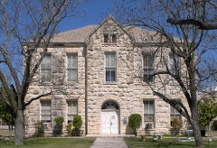 | Edwards County Courthouse and Jail | building | 1979 | 79002932 |
Drawn when these were printed as single large sheets: the town seen from the air, and the county divided into its farms with every owner named. Each opens the original at the Library of Congress.

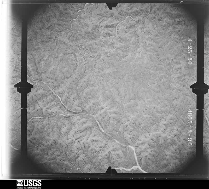
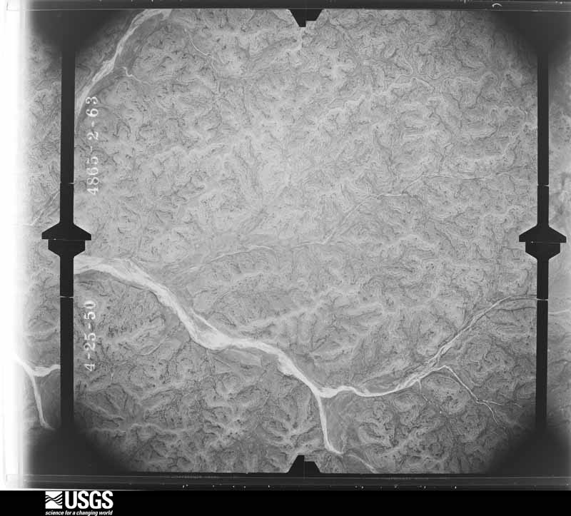
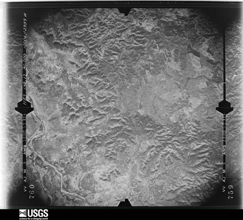
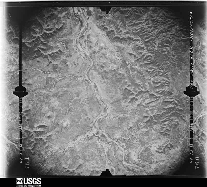
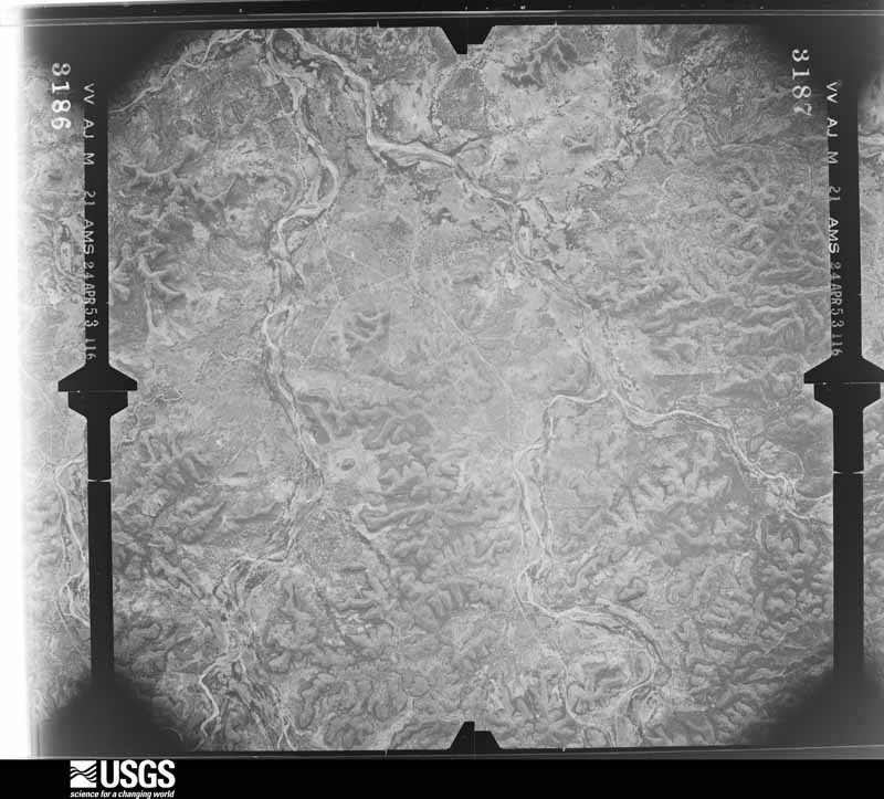
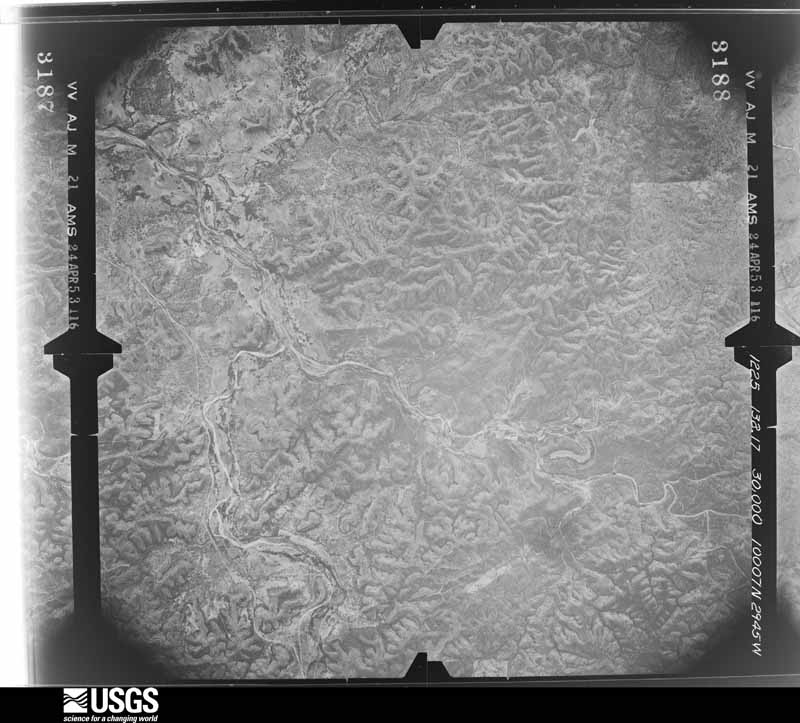
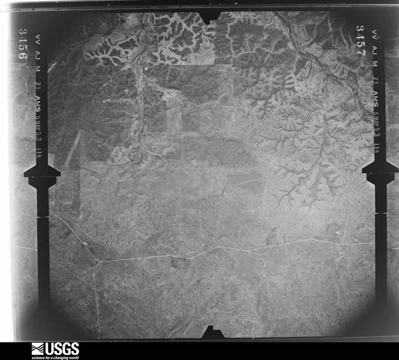
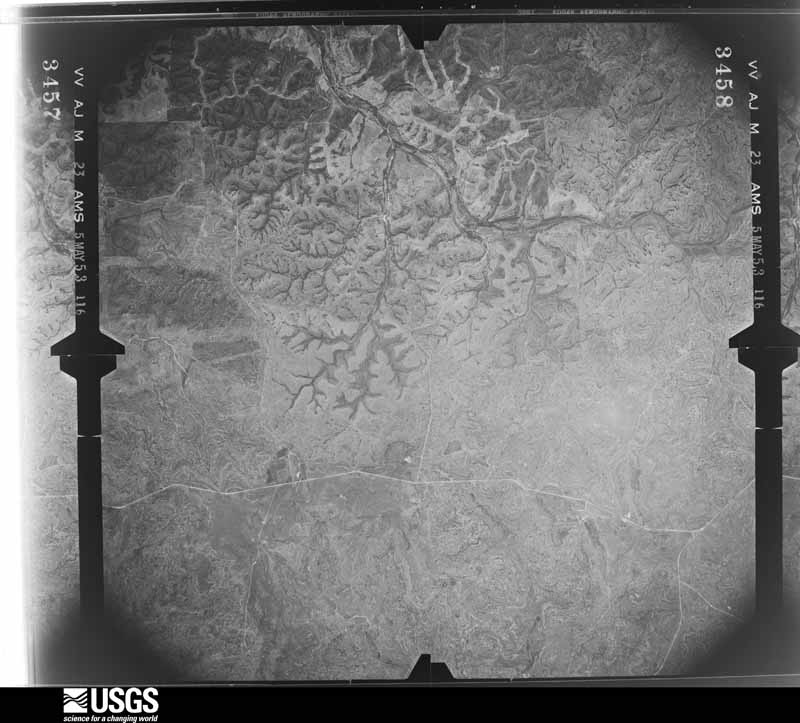
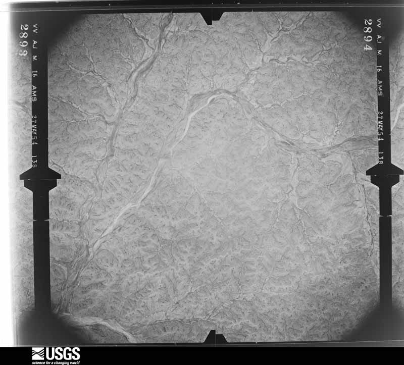
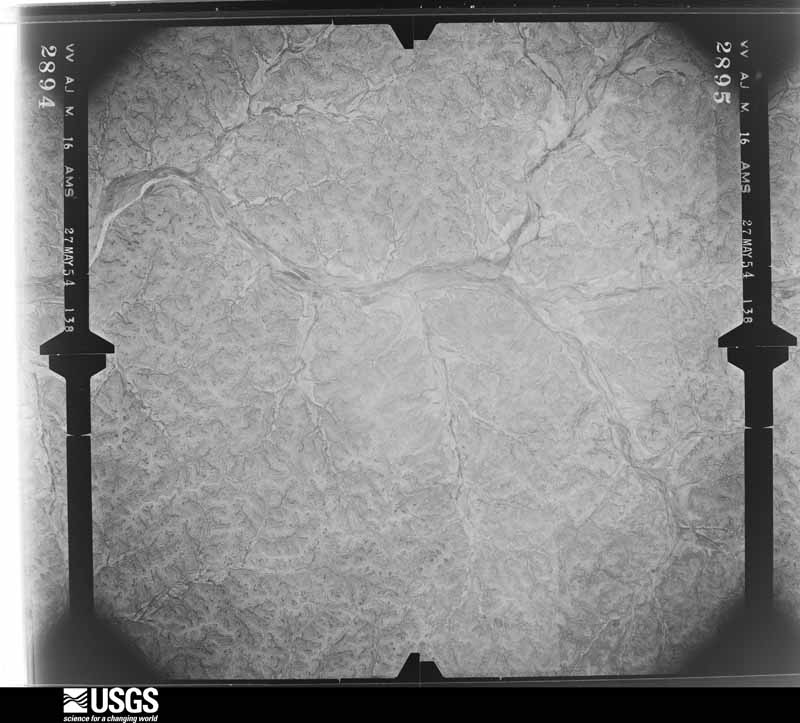
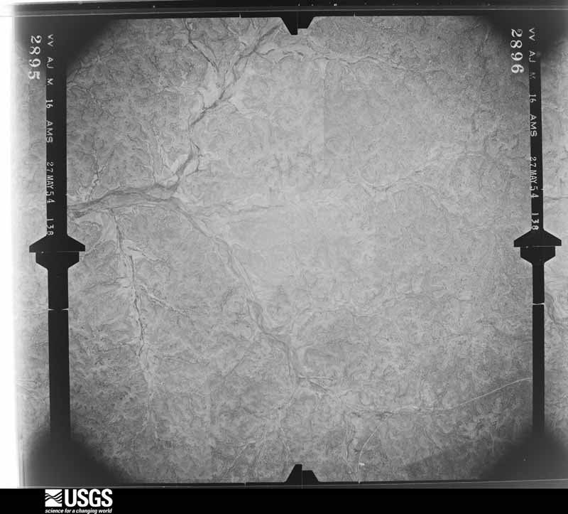
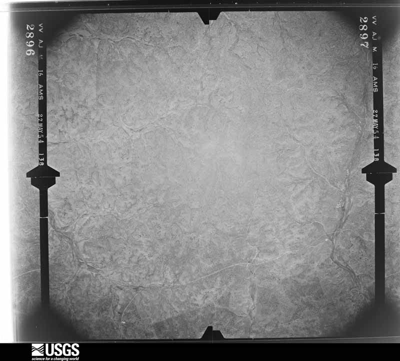
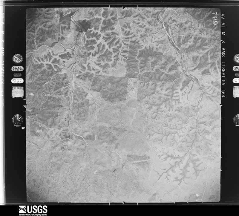
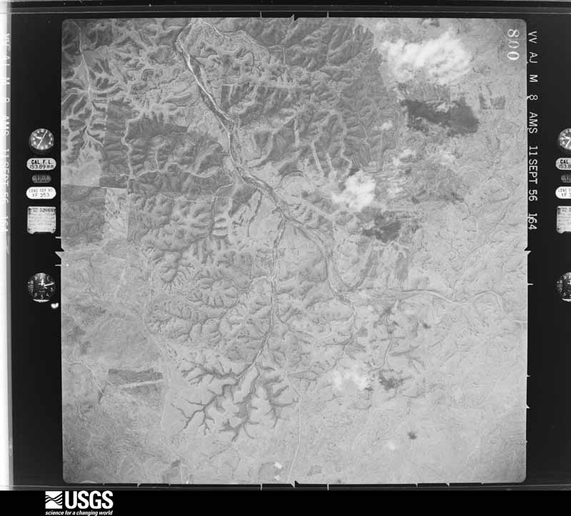
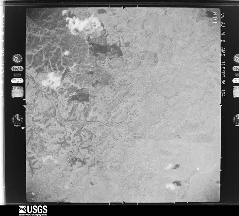
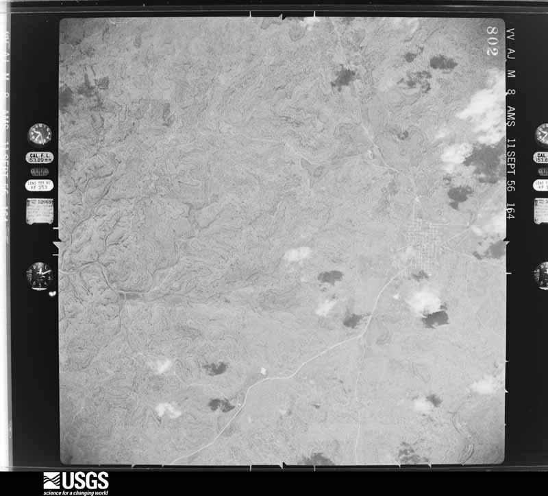
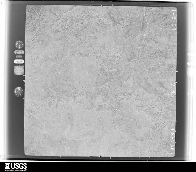
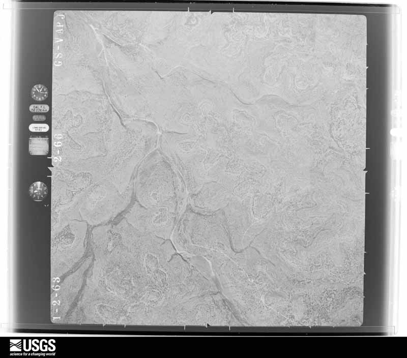
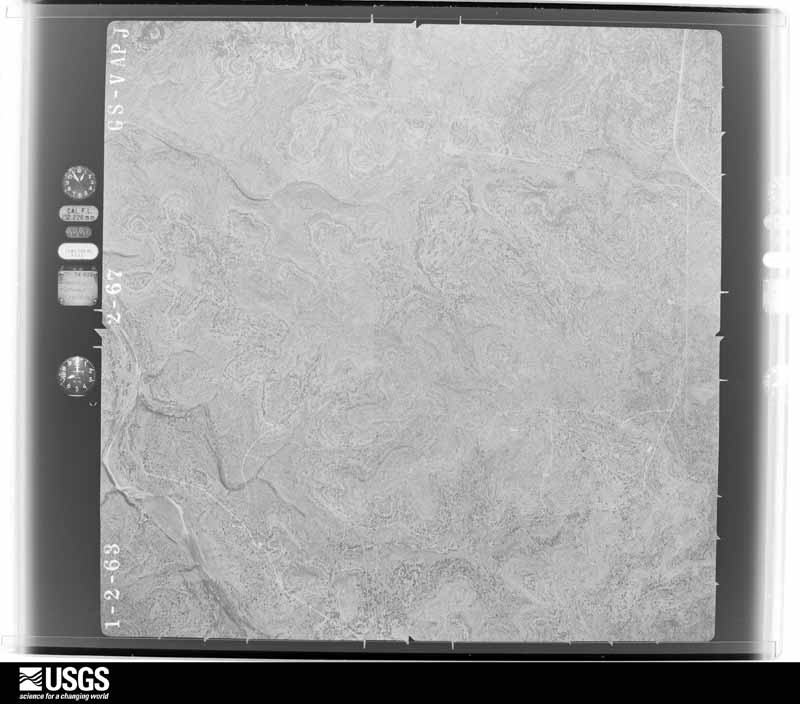
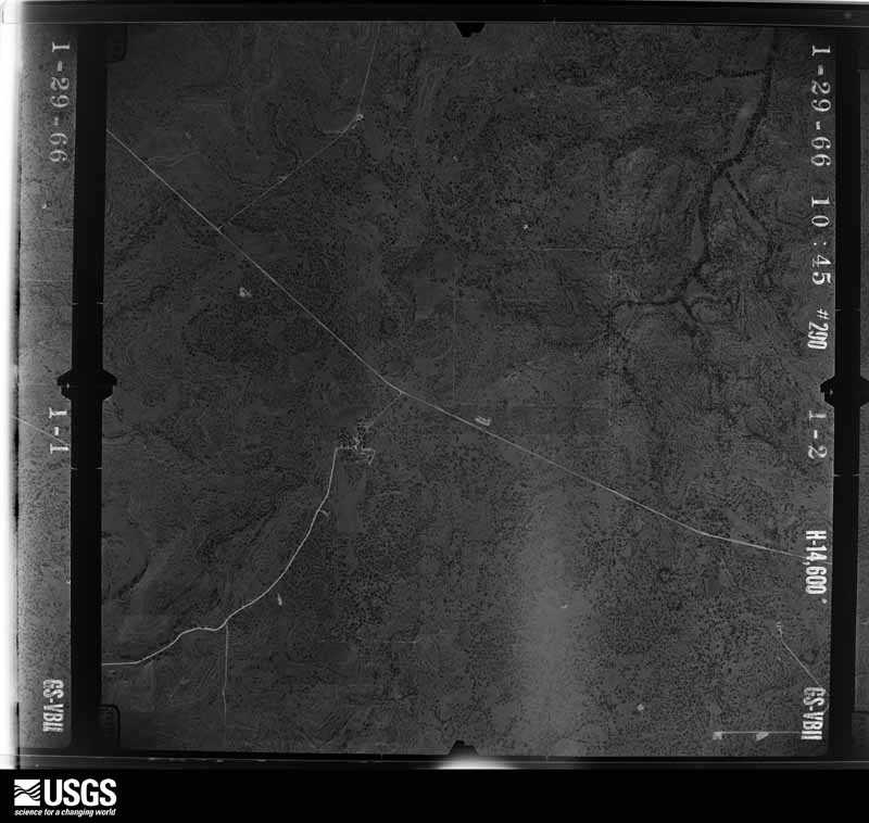
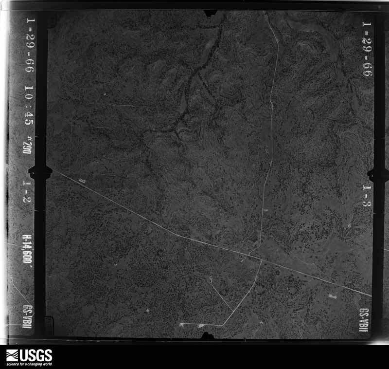
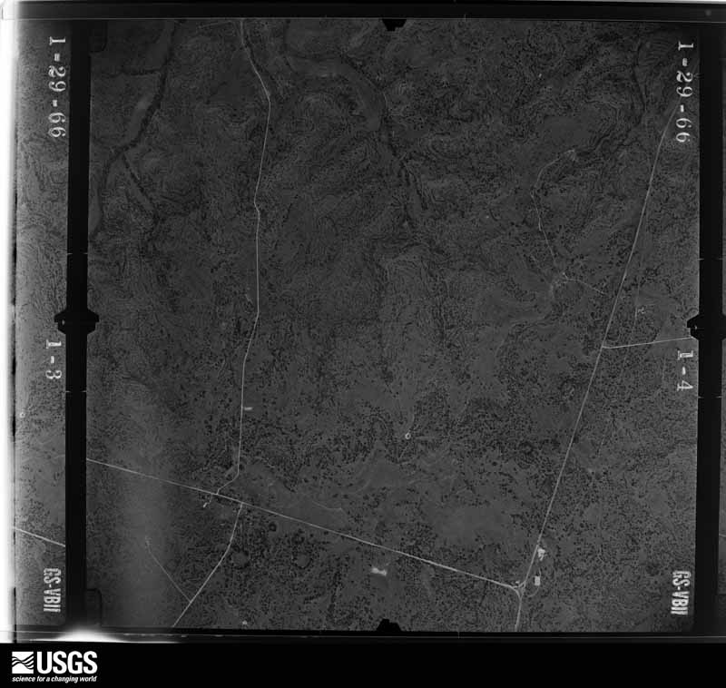
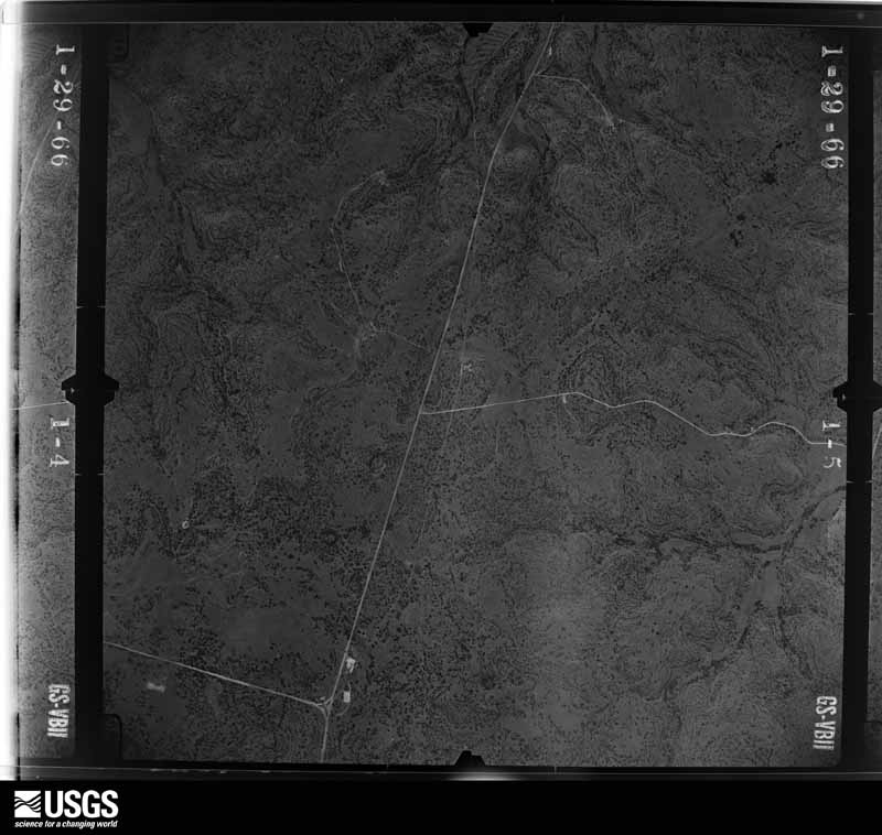
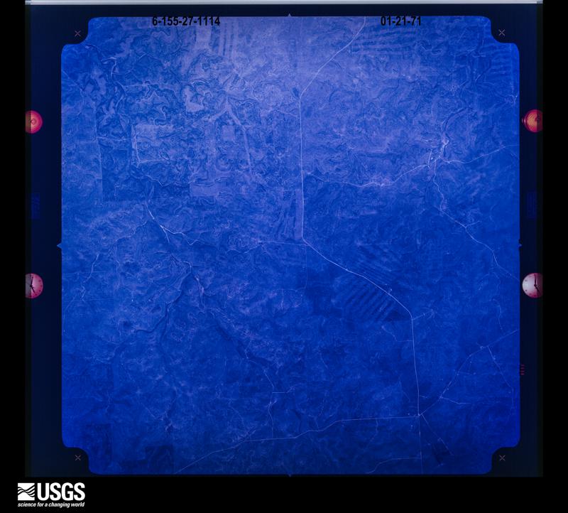
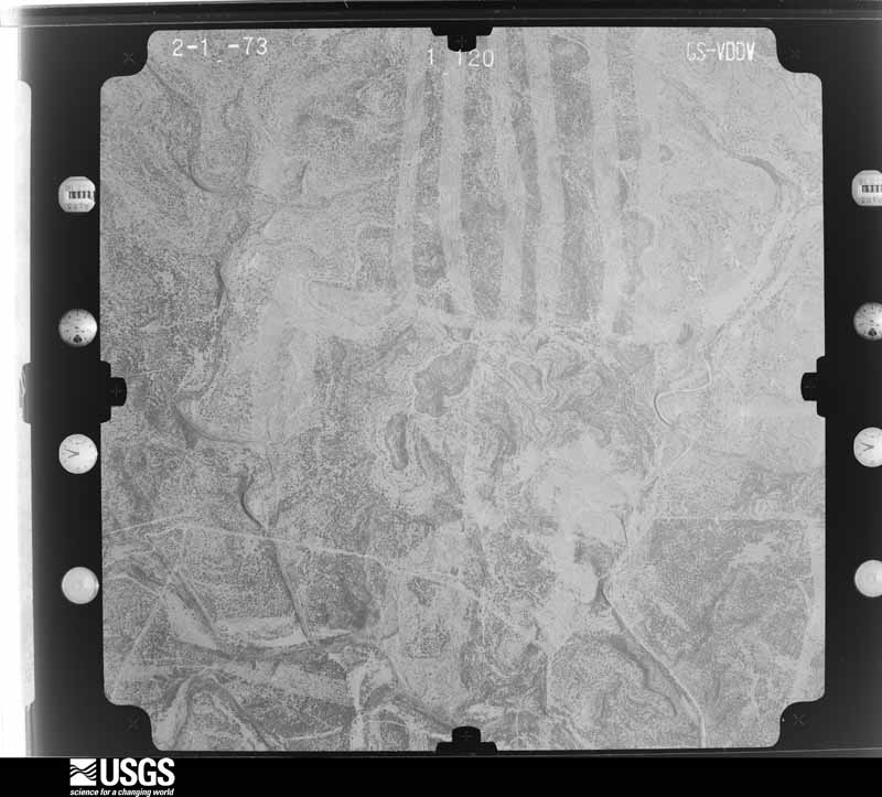
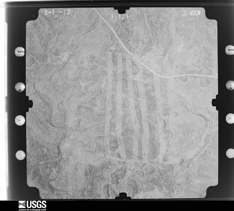
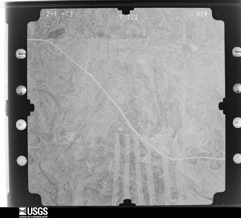
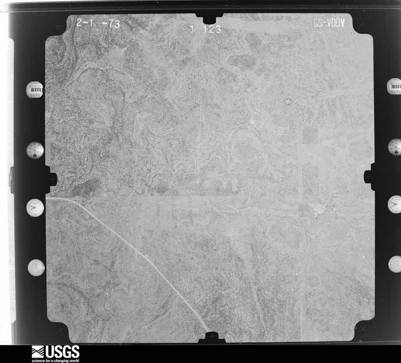
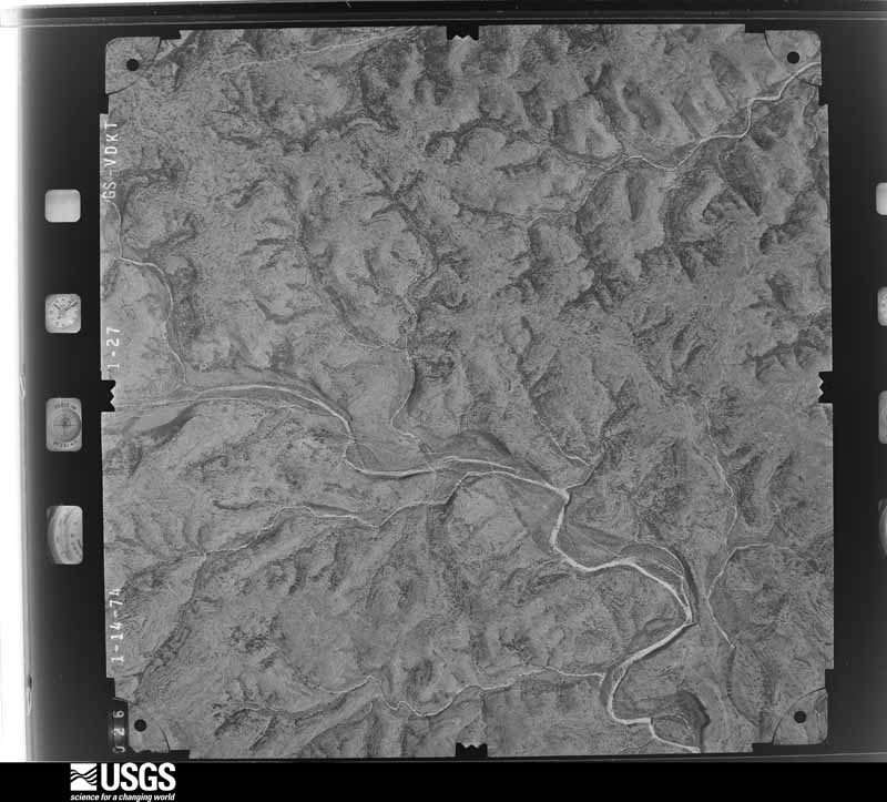
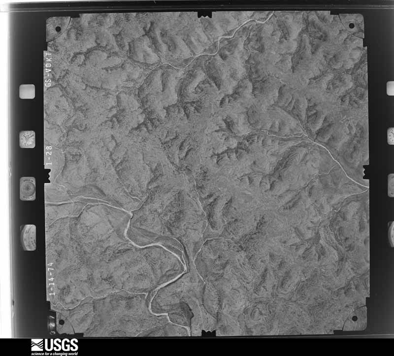
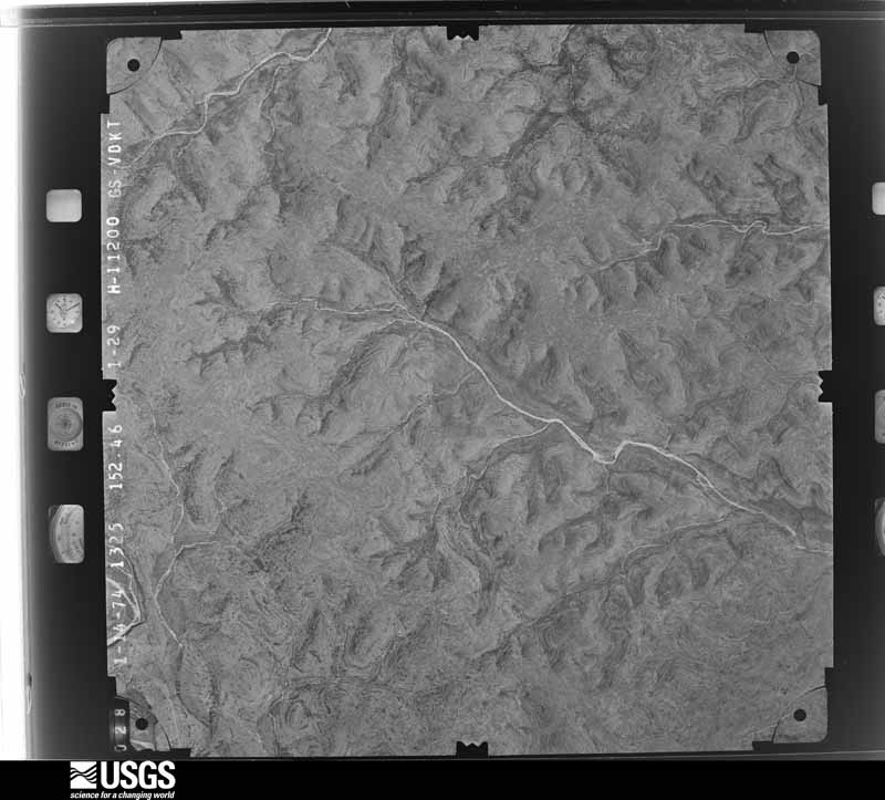
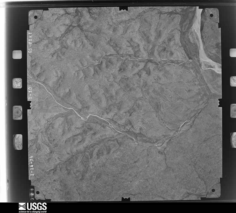
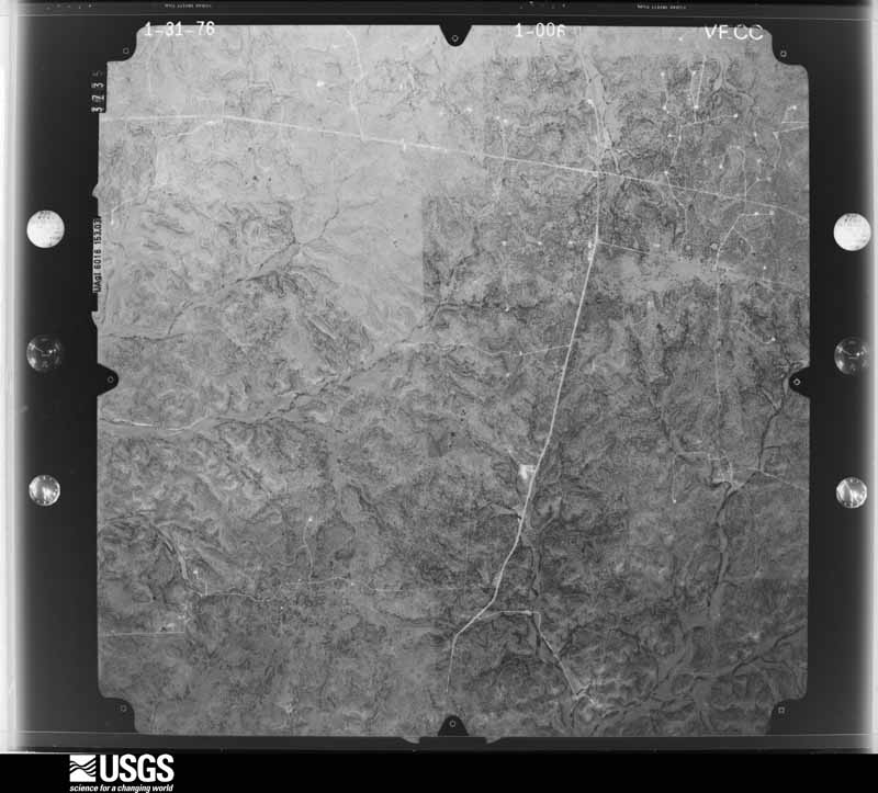
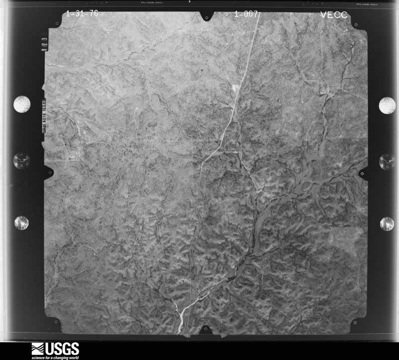
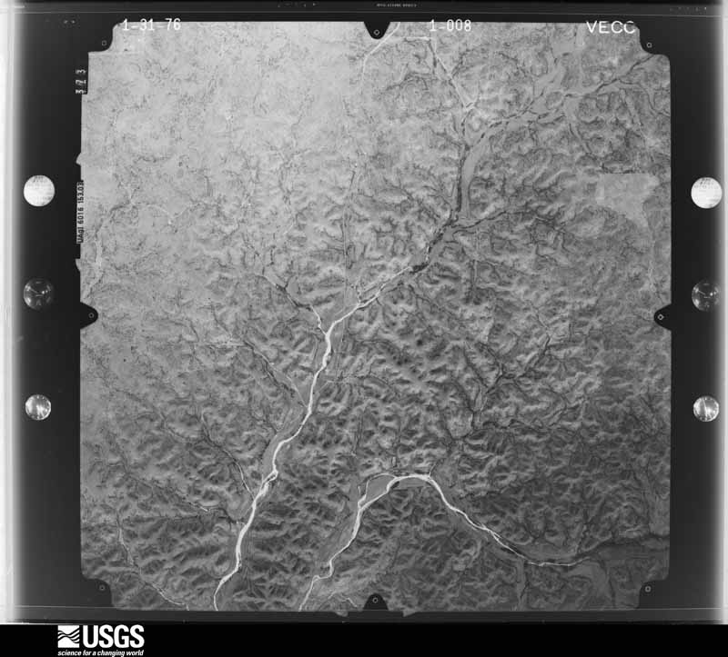
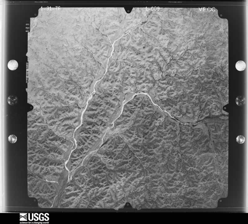
Flown by the U.S. Geological Survey between 1937 and 1989, the Aerial Photo Single Frames collection is the definitive mid-century view of the land: fields, roads and rivers as the camera saw them. The Survey holds 1,697 frames inside the rectangle that bounds this county; the 48 frames below were taken over the county itself, chosen across the decades of flights (at most four a year from that rectangle), so one flight cannot crowd out the rest. The full set is free to browse and download at EarthExplorer under the dataset Aerial Photo Single Frames.

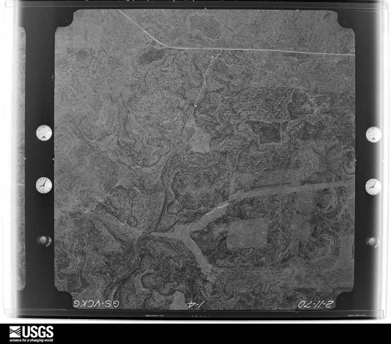
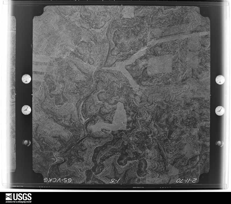
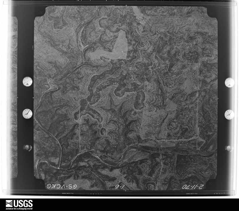
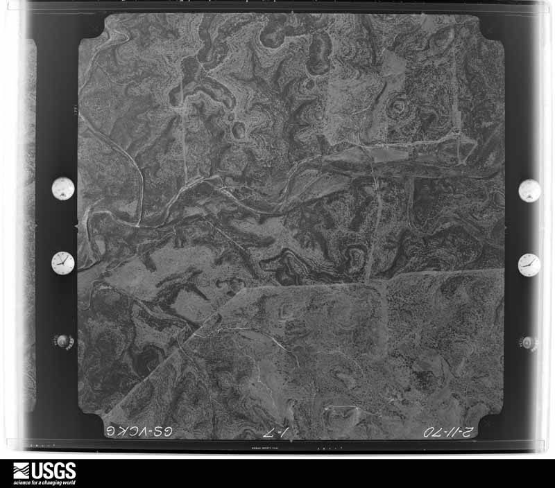







The thermometers that kept this county's weather, and the gages that measured the flow of its streams, as the federal records hold them. The extremes below are measured values from those records, not estimates.
Who lived here in 1950, one enumeration district at a time, as the Census Bureau described each district. Each row opens its official National Archives result, with Population Schedules and ED Maps available there.
Every wildfire the federal occurrence database records inside this county: 136 of them, burning about 49,359 acres. 11 started naturally and 1 was recorded as arson. Each settlement page carries the fires within five miles of it.
| Reported cause | Fires |
|---|---|
| Debris and open burning | 44 |
| Missing data/not specified/undetermined | 35 |
| Equipment and vehicle use | 28 |
| Recreation and ceremony | 12 |
| Natural | 11 |
| Smoking | 3 |
| Power generation/transmission/distribution | 2 |
| Arson/incendiarism | 1 |
The five largest, by the area the report gives. None of them was recorded as arson.
| Date | Cause | Size | Reported by | Name on the report |
|---|---|---|---|---|
| 10 August 2015 | Missing data/not specified/undetermined | 17,831 acres | Texas A & M Forest Service | BROWN RANCH |
| 25 February 2008 | Equipment and vehicle use | 4,500 acres | Texas A & M Forest Service | WEST HACKBERRY - 46 |
| 8 February 2008 | Equipment and vehicle use | 2,100 acres | Texas A & M Forest Service | CARTA VALLEY |
| 16 March 2006 | Equipment and vehicle use | 2,100 acres | Texas A & M Forest Service | not named |
| 20 July 2017 | Missing data/not specified/undetermined | 2,000 acres | Texas A & M Forest Service | WELDING FIRE/IVY RANCH |
| 25 February 2008 | Missing data/not specified/undetermined | 2,000 acres | Texas A & M Forest Service | not named |
| 4 July 2011 | Debris and open burning | 2,000 acres | Texas A & M Forest Service | WARB |
| 22 January 2009 | Equipment and vehicle use | 1,500 acres | Texas A & M Forest Service | ROCKSPRING FIRE 18 |
Every settlement page carries the fires within five miles of it - see the settlement index below.
The NOAA Storm Events Database holds 236 reports for this county, causing 2 deaths, 15 injuries and about $855,500 in recorded property damage. Each settlement page carries the reports that name it.
| Kind of event | Reports |
|---|---|
| Hail | 119 |
| Flash Flood | 94 |
| Thunderstorm Wind | 19 |
| Tornado | 4 |
The most serious of them, by death, then injury, then recorded damage. The accounts are quoted exactly as the forecast office filed them.
| When | Event | Place named | Harm | What the report says |
|---|---|---|---|---|
| November 2001 | Flash Flood | Countywide | 1 killed, 5 hurt, $80,000 | Rainfall redeveloped on the morning of the 15th over the Edward Plateau and western Hill Country. In addition to the accumulations on the evening of the 14th, general 3 to 4 inch totals fell across Edwards County, bringing total amounts since the 14th to as much as 10 to 12 inches southeast of Rocksprings. Maximum amounts of up to 18 inches were reported near Barksdale in the southeast part of the county along the Real County line. A 22-year old woman drowned when the car she was riding in was swept off a low-water crossing across SH55 into Hackberry Creek. The driver of the vehicle was also washed into the creek. Both exited the vehicle and were clinging to tree branches as rescuers attempted to reach them. The young woman was pregnant and unable to maintain her hold. She was swept into the flood waters and drowned. The driver was rescued. Two men drove a pickup truck into the flooded low water crossing only a few minutes later but were rescued. |
| October 1996 | Flash Flood | Countywide | 1 killed, $3,000 | no account filed |
| June 1997 | Flash Flood | Countywide | 10 hurt, $100,000 | no account filed |
| November 2001 | Thunderstorm Wind | Barksdale | $100,000 | Severe thunderstorm winds damaged homes and barns and knocked over trees both east and west of Barksdale, in both Edwards and Real Counties. |
| August 1998 | Flash Flood | Countywide | $100,000 | no account filed |
| October 2003 | Flash Flood | Countywide | $80,000 | As the showers and thunderstorms spread eastward across Edwards County, they produced general rain totals of 2 inches. The heaviest amounts were over the south and east parts of the county, where isolated totals of up to 5 inches were reported. The showers and thunderstorms continued to develop over the county through the evening and finally ended by late evening. Most county roads were closed due to flash flooding. US 377 was closed across much of the county for several hours, with up to six feet of water over the road in one place. Damages were mainly to roads and bridges. |
| August 1998 | Flash Flood | Countywide | $50,000 | no account filed |
| October 2002 | Flash Flood | Countywide | $30,000 | Near midnight on October 24, as an upper level disturbance approached from the west, showers and thunderstorms began forming in over Edwards, Uvalde, Kinney and Maverick Counties. Storms continued to near sunrise, with flash flooding developing quickly due to the saturated nature of the soils. General rainfall over Edwards County averaged 1 to 2 inches with up to 4 inches in isolated locations. Flash flooding developed in the early morning hours and ended just after sunrise. Minor damage was reported to county roads. |
| October 2002 | Flash Flood | South Portion | $30,000 | The area of thunderstorms began moving into Edwards county just before midnight continued into the morning, producing general 1 to 2 inches of rain over the southern part of the county. Isolated totals to 5 inches were indicated in the storms. The Edwards County Sheriff's Department reported flash flooding through noon over roads across the southern part of the county, mainly southwest of Rocksprings. |
| May 2001 | Thunderstorm Wind | Barksdale | $30,000 | Severe thunderstorm winds blew down several power lines between Barksdale in Edwards County and Camp Wood in Real County.Real County |
| April 2026 | Thunderstorm Wind | Rocks Spgs Arpt | $25,000 | A thunderstorm produced wind gusts estimated at 70 mph that peeled sheets of corrugated metal off the roof and walls of an unused hangar at the Edwards County Airport. |
| October 2000 | Flash Flood | East Portion | $25,000 | no account filed |
| August 2007 | Flash Flood | Rocks Spgs | $20,000 | Showers and thunderstorms associated with Erin developed over the northwest quarter of Edwards County in the late-afternoon. Rain totals averaged between 3 and 4 inches in the northwest corner of the county, closing US277 and SH55 near the Val Verde County line in the late evening hours. |
| November 2001 | Flash Flood | Countywide | $20,000 | A general 2 to 3 inches rain accumulation was reported over the central and eastern parts of Edwards County. The maximum totals were nearly 5 inches just south of Rocksprings. This caused widespread flash flooding into the late evening hours, with only minor damage to roads and bridges. |
| June 2000 | Flash Flood | East Portion | $20,000 | no account filed |
| June 1997 | Flash Flood | Countywide | $15,000 | no account filed |
| June 2014 | Thunderstorm Wind | Carta Vly | $10,000 | A thunderstorm produced wind gusts estimated between 60 and 70 mph that blew the tops off of portions of barns and horse stalls. |
| April 2010 | Hail | Rocks Spgs | $10,000 | A thunderstorm produced one and one half inch hail which broke windows in a house and office buildings. This large hail also produced damage to several buildings in and around Rocksprings including the county courthouse where several windows were broken. The hail accumulated to several inches deep. |
| June 2007 | Flash Flood | Carta Vly | $10,000 | Thunderstorms from the early morning into the mid morning across eastern Val Verde County and western Edwards County produced widespread rain amounts of 3 to 5 inches from Carta Valley to Rocksprings. Roads across southwestern Edwards County were closed, including FM674 and FM2523. |
| May 1999 | Flash Flood | Countywide | $10,000 | Rainfall of generally 1 to 2 inches, with isolated totals between 3 and 4 inches produced brief flash flooding across county low areas and low water crossings. |
| May 2001 | Flash Flood | South Portion | $10,000 | no account filed |
| April 1999 | Flash Flood | East Portion | $10,000 | no account filed |
| May 2017 | Hail | Carta Vly | $5,000 | A thunderstorm produced baseball size hail in Carta Valley. |
| May 2017 | Hail | Rocks Spgs Arpt | $5,000 | A thunderstorm produced hail up to tea cup size along Hwy 41 northeast of Rocksprings. |
| August 2012 | Thunderstorm Wind | Rocks Spgs | $5,000 | A thunderstorm produced wind gusts estimated at 58 mph that damaged or destroyed several outbuildings. |
| March 2004 | Flash Flood | South Portion | $5,000 | The storms that formed in the afternoon along the frontal boundary moving southeast across the Edwards plateau produced a general half-inch of rain over southern Edwards County. Highest totals were in the Barksdale area, where up to 2 inches was reported. Highway 55 was closed due to flash flooding between Rocksprings and Barksdale. In addition, Highways 377 and 674 were also closed due to flash flooding. |
| June 2003 | Flash Flood | Barksdale | $5,000 | Showers and thunderstorms over Gillespie and Kerr Counties continued to spread southwestward into the Edwards Plateau through the early morning hours. Rainfall continued shortly past sunrise, with amounts of 2 to 3 inches over Real and Edwards Counties and northern Uvalde County. Up to 4 inches of rain was reported between Barksdale and Camp Wood along the Edwards-Real line. Flash flooding developed in and around the two towns near 0500CST, with FM337 and SH55 closed. |
| June 1997 | Flash Flood | Countywide | $5,000 | Flash flooding resulted from brief heavy rainfall, with 1 foot of water reported over Hwy 377. |
| November 1994 | Hail | Rocksprings | $5,000 | Reported by the sheriff's department. |
| November 2000 | Flash Flood | Northeast Portion | $5,000 | no account filed |
| May 2000 | Flash Flood | Northeast Portion | $5,000 | no account filed |
| September 1998 | Flash Flood | North Portion | $5,000 | no account filed |
| June 1997 | Flash Flood | Countywide | $5,000 | no account filed |
| March 1998 | Flash Flood | South Portion | $3,000 | Border Patrol officers from Carrizo Springs reported roads under water in southern Edwards County as a result of nearly 2 inches of rain over the previous 2 hours. |
| June 1999 | Flash Flood | Southeast Portion | $3,000 | no account filed |
| May 2019 | Thunderstorm Wind | Rocks Spgs Arpt | $2,000 | A thunderstorm produced wind gusts estimated at 70 mph that knocked down trees east-northeast of Devil's Sinkhole State Natural Area. |
| May 2010 | Thunderstorm Wind | Carta Vly | $2,000 | A thunderstorm produced estimated wind gusts of 50 kts which knocked down several large limbs from oak and pecan trees. |
| October 1996 | Flash Flood | Countywide | $2,000 | no account filed |
| April 2026 | Thunderstorm Wind | Carta Vly | $500 | A thunderstorm produced wind gusts estimated at 70 mph that blew down a large, free-standing flagpole south of Carta Valley. |
| March 2026 | Hail | Camp Wood | - | A COOP observer estimated up to quarter sized hail from a thunderstorm in southeastern Edwards County. |
| April 2026 | Hail | Barksdale | - | A thunderstorm produced quarter size hail north of Barksdale. |
| April 2026 | Hail | Barksdale | - | A thunderstorm produced quarter size hail north of Barksdale. |
| April 2026 | Hail | Barksdale | - | A thunderstorm produced chicken egg size hail in Barksdale. |
| April 2026 | Hail | Camp Wood | - | A thunderstorm produced 5 diameter hail (picture on X) south of Camp Wood. |
| May 2025 | Hail | Rocks Spgs Arpt | - | A thunderstorm produced nickel size hail at he CoCoRAHS site 11.8 ENE of Rocksprings. |
| July 2025 | Flash Flood | Rocks Spgs Arpt | - | Thunderstorms produced heavy rain that led to flash flooding closing RM 335. The emergency manager estimated four feet of water over the road. |
| November 2025 | Flash Flood | Carta Vly | - | Thunderstorms produced heavy rain that led to flash flooding. RM 674 was impassable with 3-4 feet of water over the roadway north of Kickapoo Cavern State Park. |
| May 2024 | Hail | Rocks Spgs | - | A thunderstorm produced quarter size hail northeast of Rocksprings. |
| June 2024 | Hail | Rocks Spgs | - | A thunderstorm produced quarter size hail west of Rocksprings. |
| July 2024 | Flash Flood | Rocks Spgs | - | Thunderstorms produced heavy rain that led to flash flooding closing RR 674 southwest of Rocksprings. |
| June 2023 | Thunderstorm Wind | Rocks Spgs | - | A thunderstorm produced wind gusts estimated at 60 mph by a trained spotter in Rocksprings. The storm also produced half inch diameter hail. |
| October 2023 | Flash Flood | Barksdale | - | Thunderstorms produced locally heavy rain that led to flash flooding sending three feet of water over RM 335 near and downstream of the Ben Williams crossing on the Nueces River. |
| May 2022 | Hail | Carta Vly | - | A thunderstorm produced 3.5 inch diameter hail on Hwy 277 northwest of Rocksprings. |
| August 2022 | Flash Flood | Barksdale | - | Thunderstorms produced heavy rain that led to flash flooding in Edwards County along the Nueces River. A video on social media showed swiftly flowing water through a low water crossing on Dry Creek Rd. near Barksdale. |
| August 2022 | Flash Flood | Barksdale | - | Thunderstorms produced heavy rain that led to flash flooding in Edwards County. The Edwards County Sheriff's Office reported several low water crossings on Hwy 55 near Barksdale were flooded and impassable. |
| March 2021 | Hail | Barksdale | - | A thunderstorm produced 1.5 to 2.0 inch diameter hail in Barksdale. The hail fell for about five minutes. |
| August 2021 | Flash Flood | Barksdale | - | Thunderstorms produced heavy rain that led to flash flooding. FM 335 was flooded near the Nueces River north of Barksdale. |
| March 2020 | Hail | Carta Vly | - | A thunderstorm produced one inch diameter hail east of Carta Valley. There was still hail on the ground at 7 am that morning. |
| March 2020 | Hail | Rocks Spgs Arpt | - | A thunderstorm produced one inch diameter hail southeast of Rocksprings. |
| May 2020 | Thunderstorm Wind | Rocks Spgs Arpt | - | A thunderstorm produced wind gusts measured at 60 mph by the AWOS at Edwards County Airport in Rocksprings. |
Named settlements recorded in the Geographic Names Information System, each with the topographic sheets covering it. Villages, hamlets and abandoned places alike. Each is shown with the nearest named watercourse or landform and the survey quadrangle it falls on.
Rocksprings South census division · 78880 · Near Riggs Draw · Carta Valley quadrangle
7 sheets, 1943 to 1985
Rocksprings South census division · 78880 · On Hackberry Creek · Hackberry quadrangle
12 sheets, 1893 to 1985
Rocksprings North census division · 78880 · Rocksprings quadrangle
12 sheets, 1893 to 1993