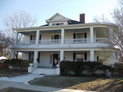
Block
BlockFrom the record
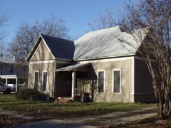
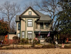
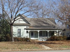
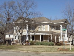
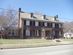
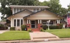
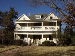
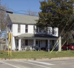
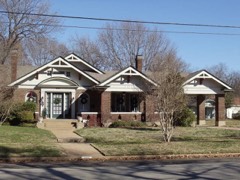
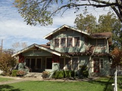
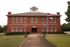
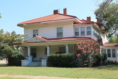
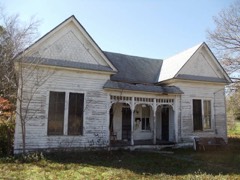
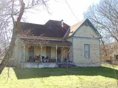
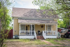
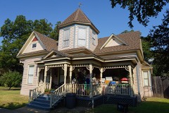
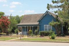
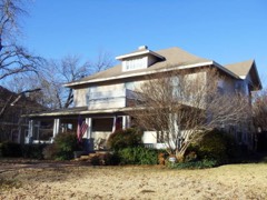
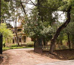
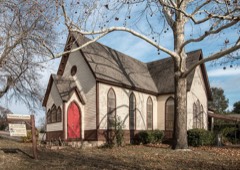
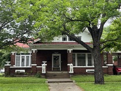
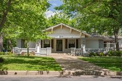
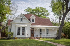
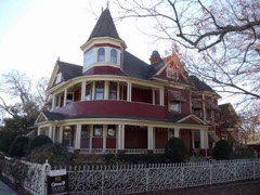
122 National Register listings published here.
Sources: the National Register database, National Park Service
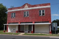
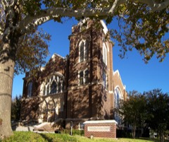
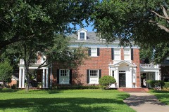
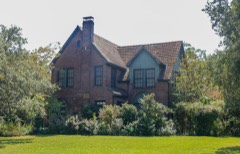
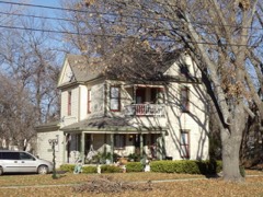
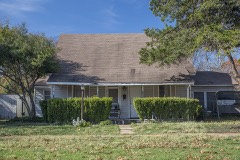
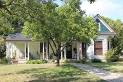
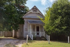
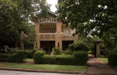
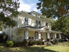
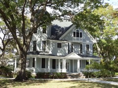
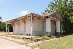
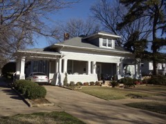
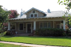
101 topographic sheets cover 55 settlements here, and 122 properties are on the National Register of Historic Places.
122 National Register listings published here.
Sources: the National Register database, National Park Service
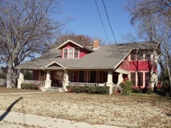
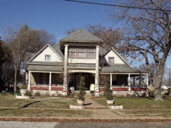
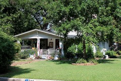
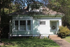
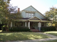
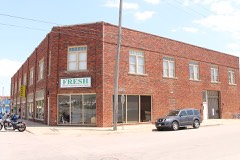
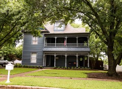
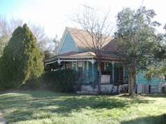
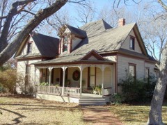
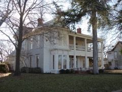
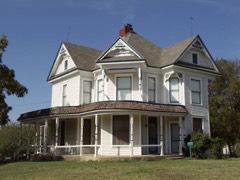
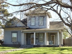
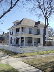
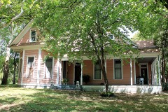
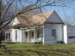
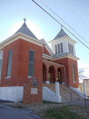
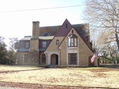
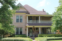
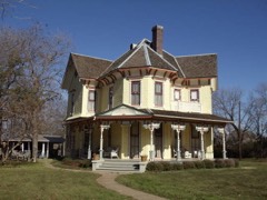
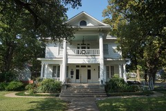
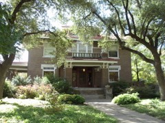
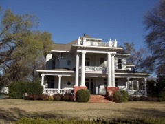
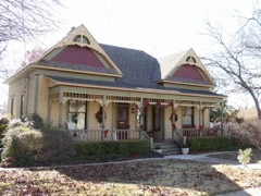
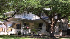
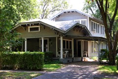
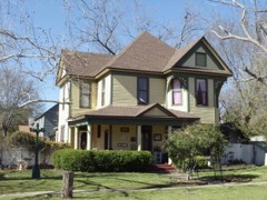
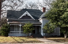
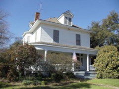
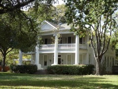
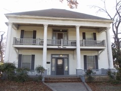
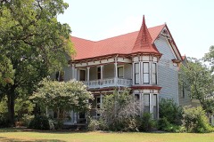
Every property in this county listed on the National Register of Historic Places, with the year it was listed and the federal nomination document.
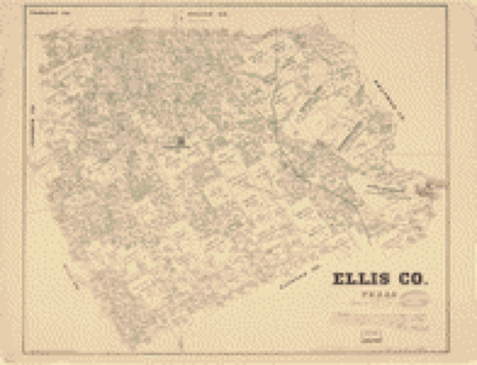
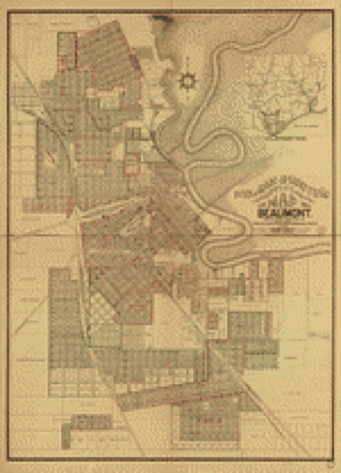
Drawn when these were printed as single large sheets: the town seen from the air, and the county divided into its farms with every owner named. Each opens the original at the Library of Congress.

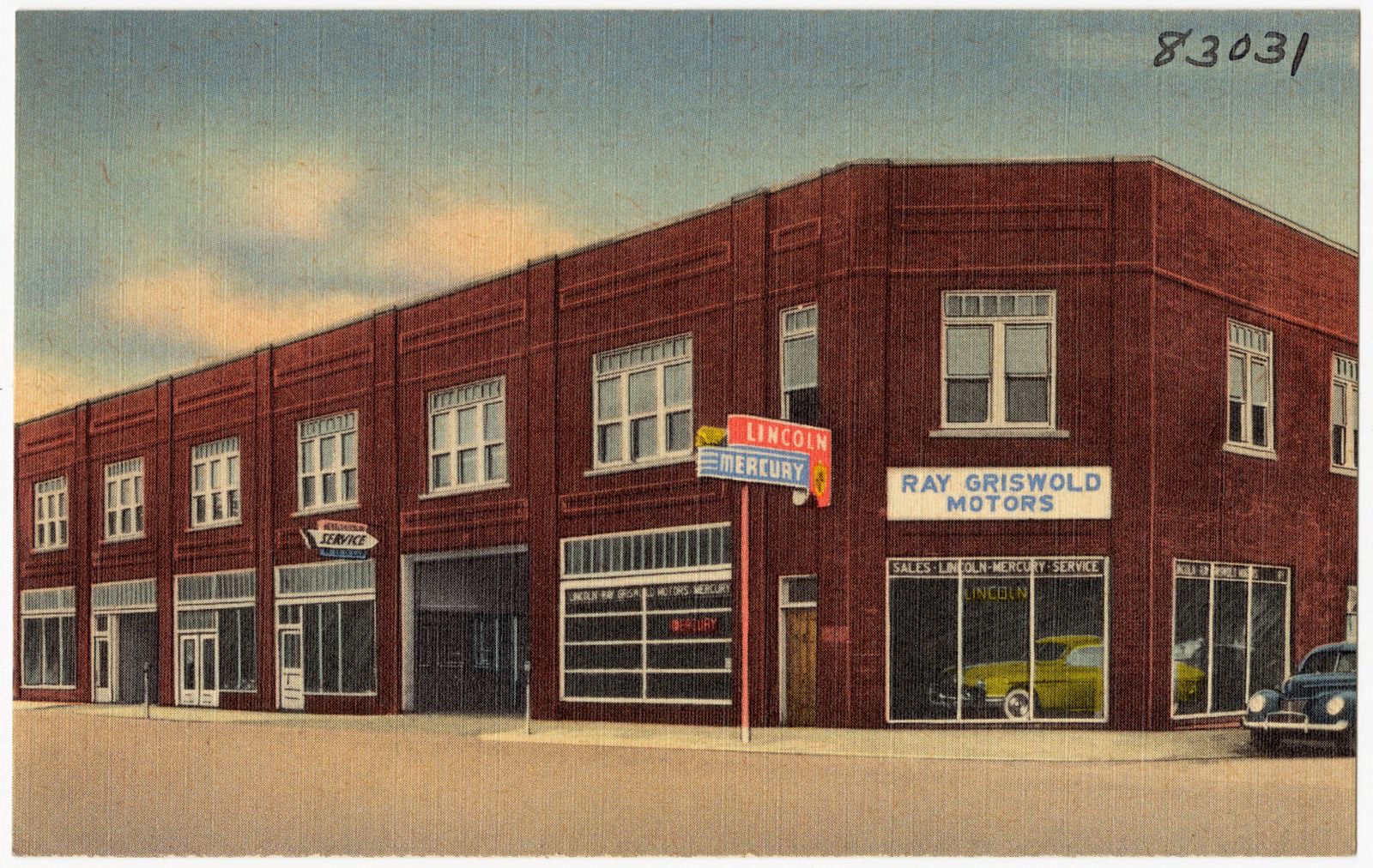
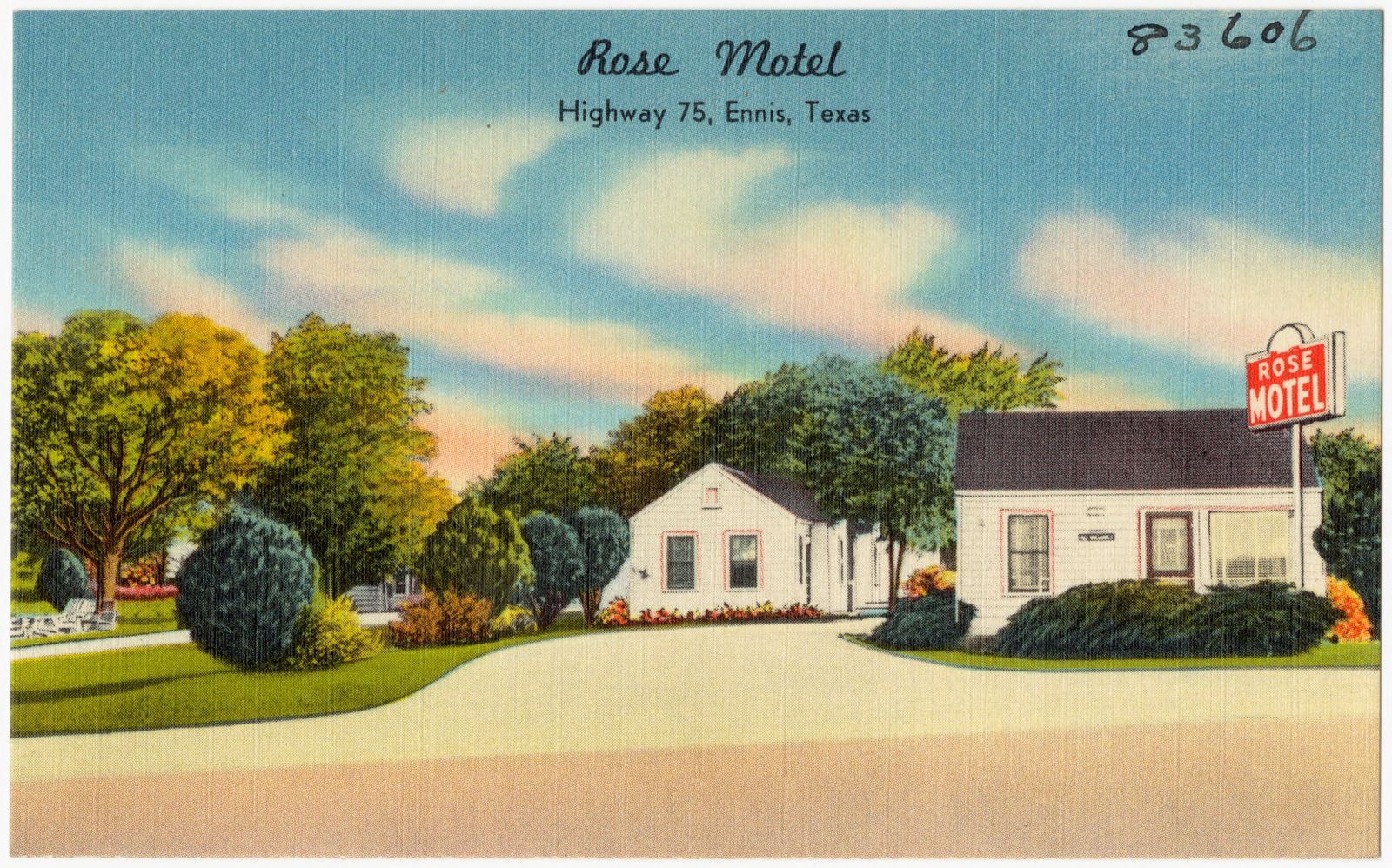
Selected from the Digital Public Library of America's 5 image records catalogued for this county. Every one shown here carries a public-domain status or a licence that permits reuse on a site that carries advertising; non-commercial, share-alike and restricted images are excluded. The selection is spread across the county's towns (at most eight per town), so no single institution's bulk upload crowds out the rest. Each opens the holding library's record, and the complete set at the Digital Public Library of America is one click away.

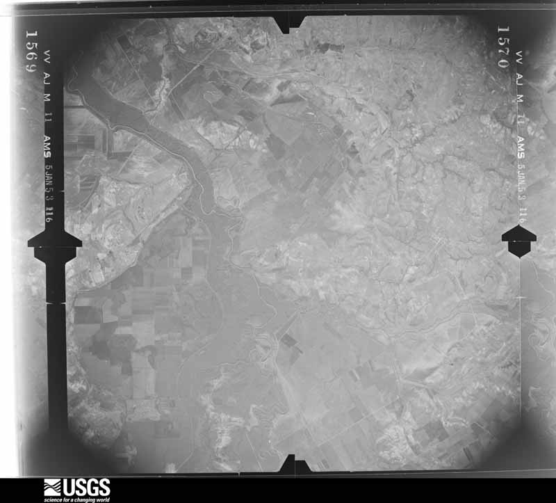
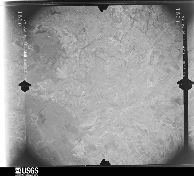
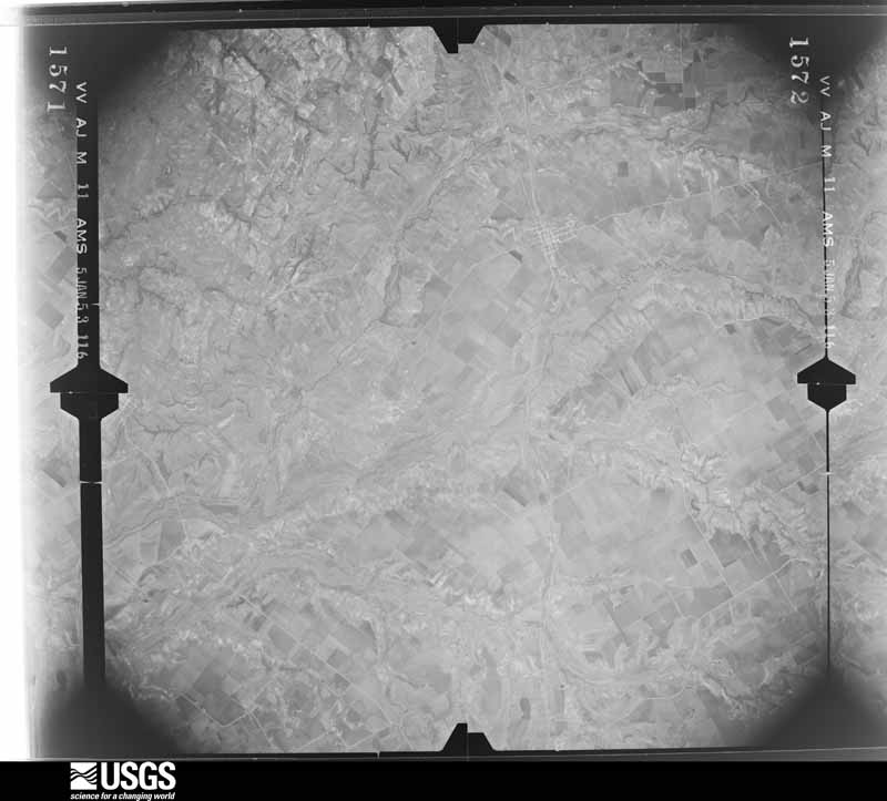
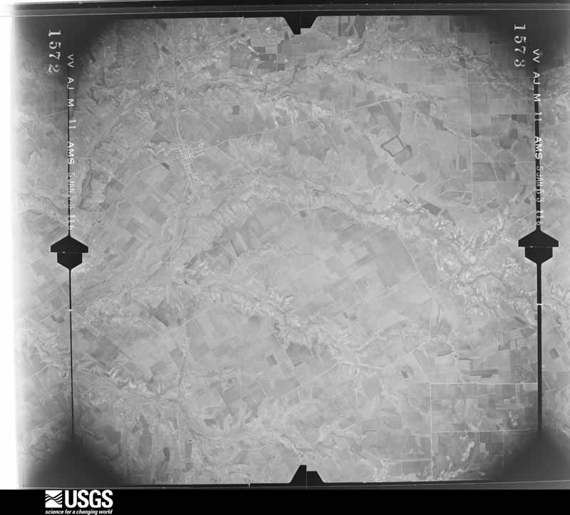
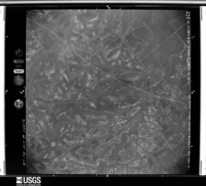
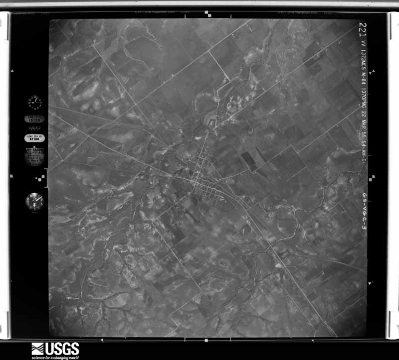
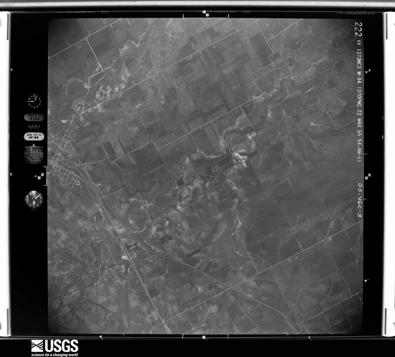
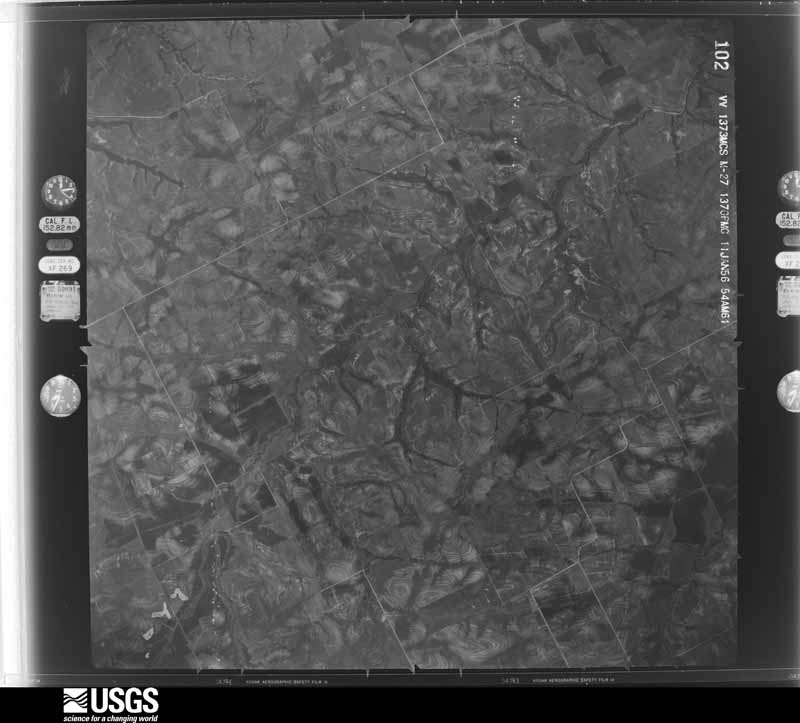
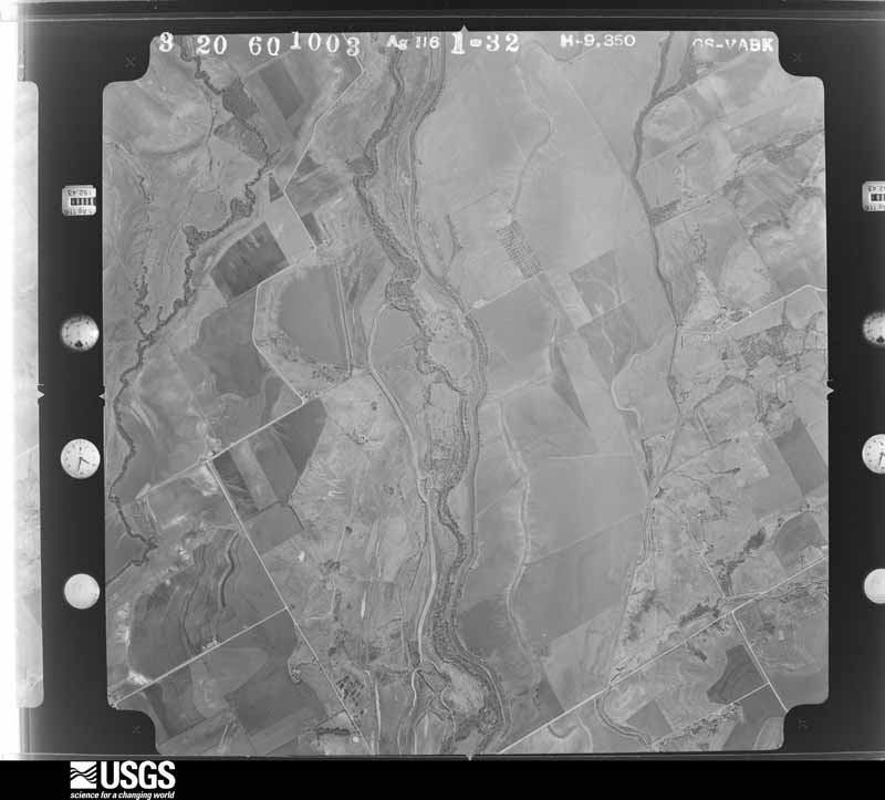
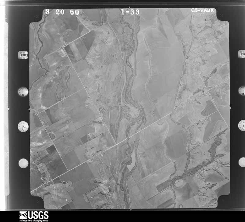
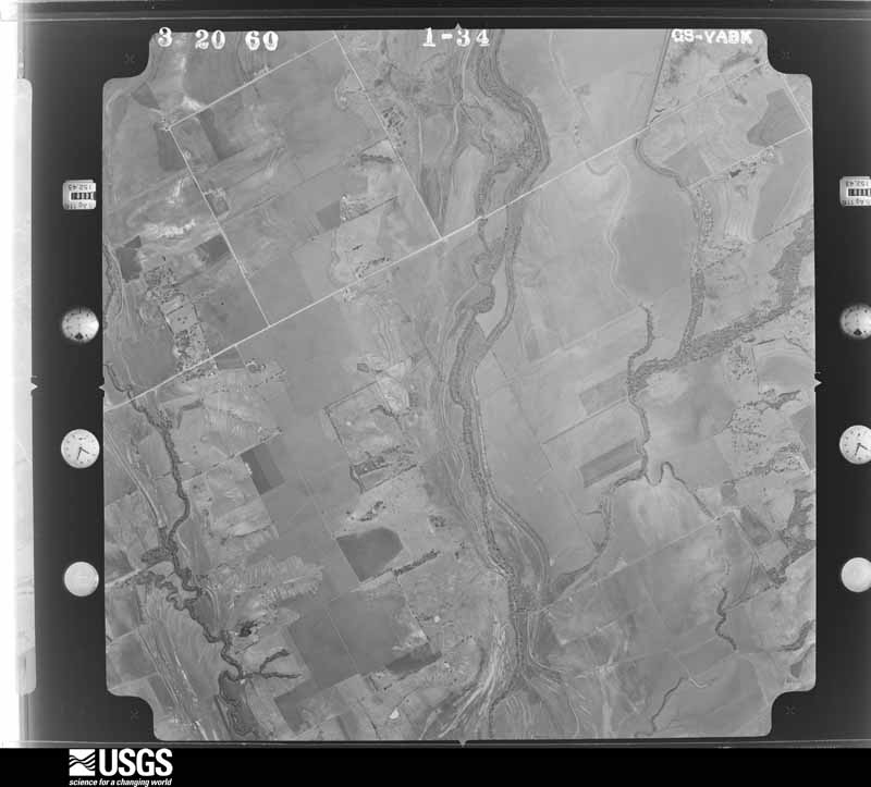
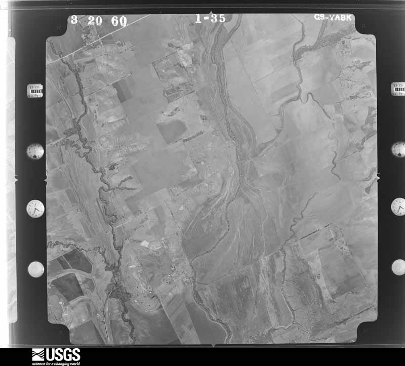
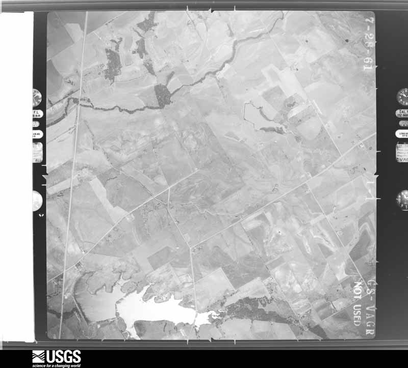
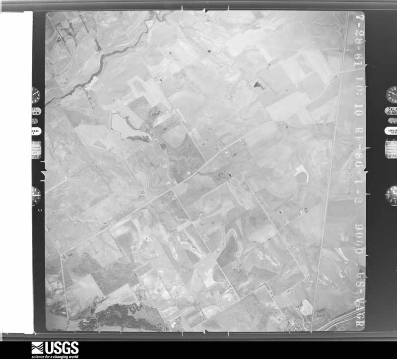
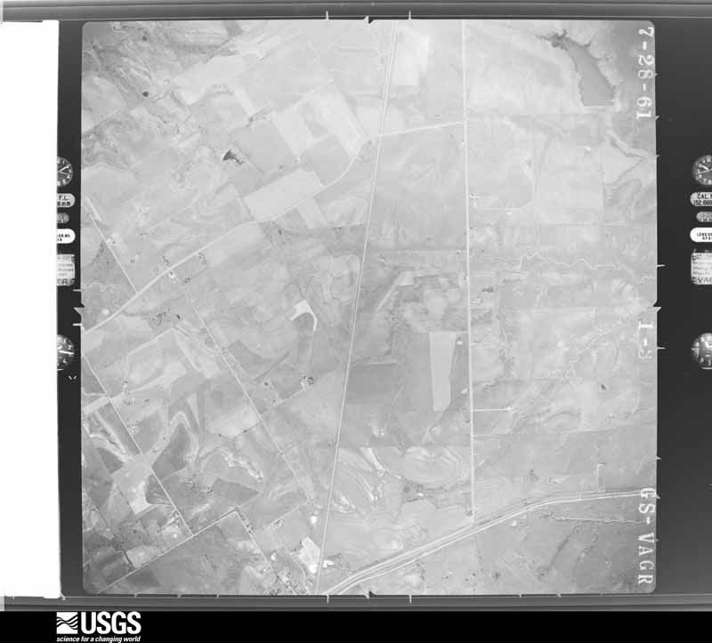
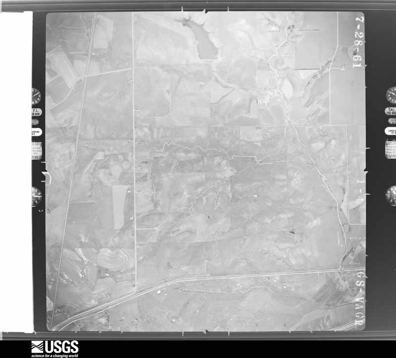
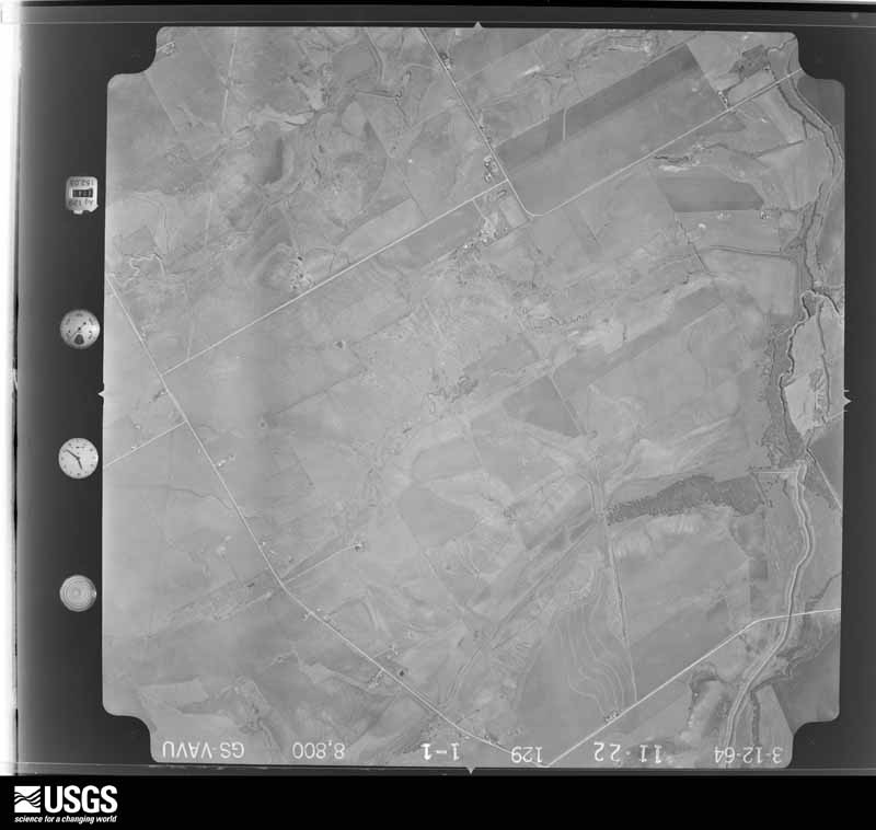
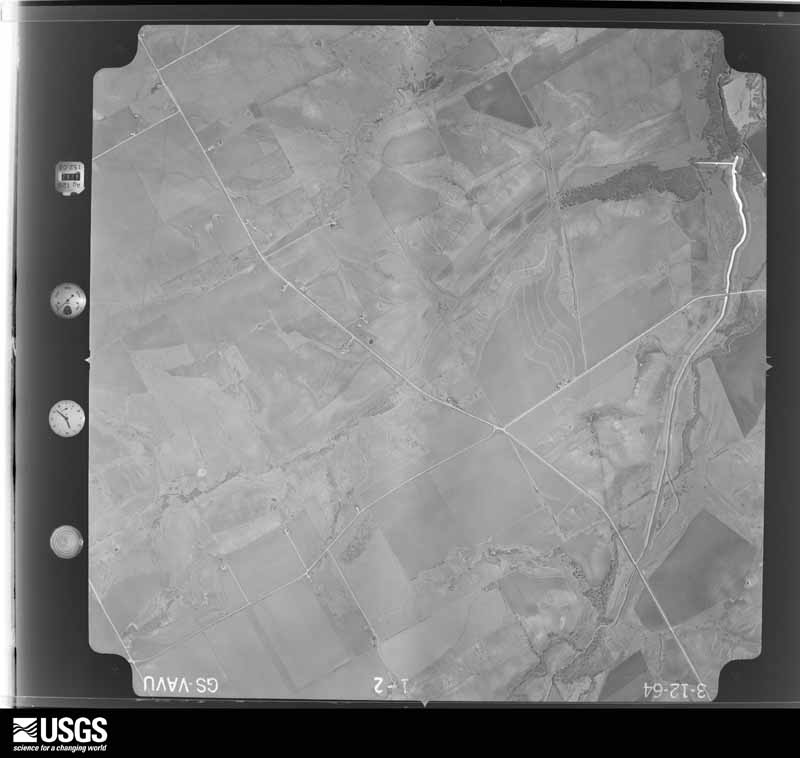
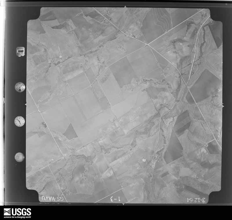
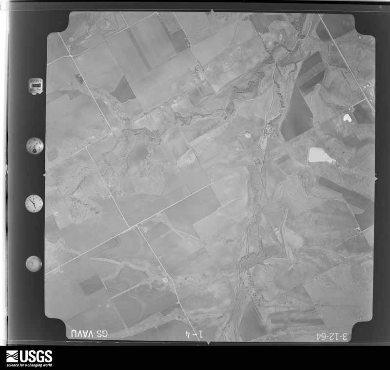
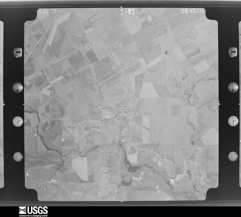
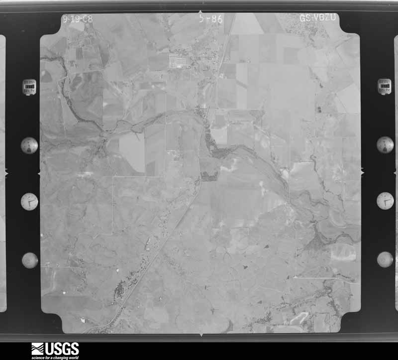
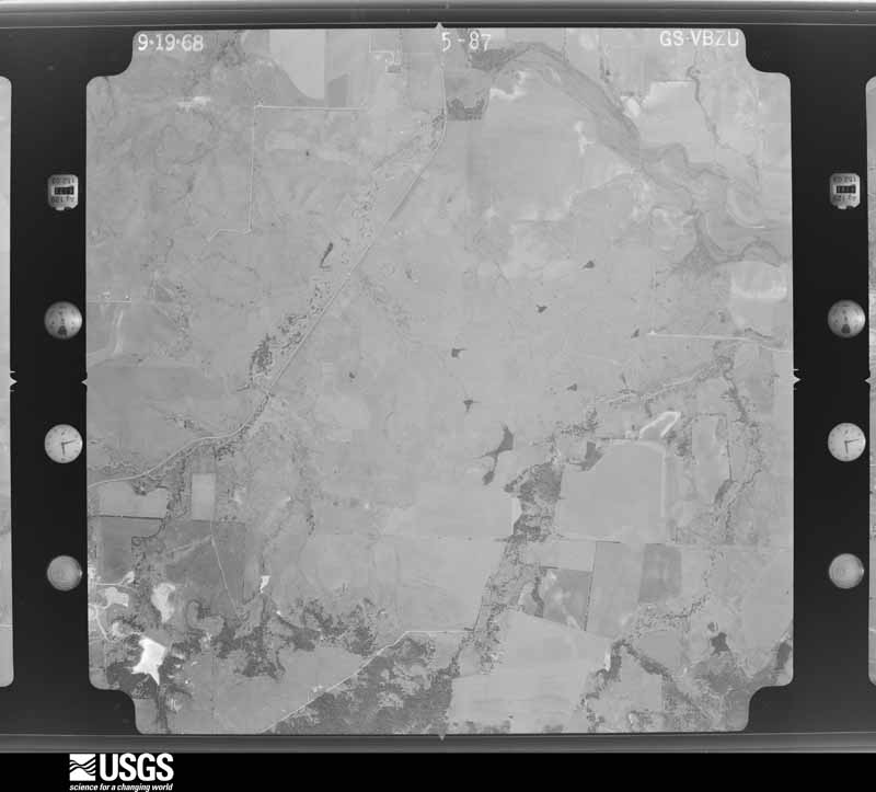
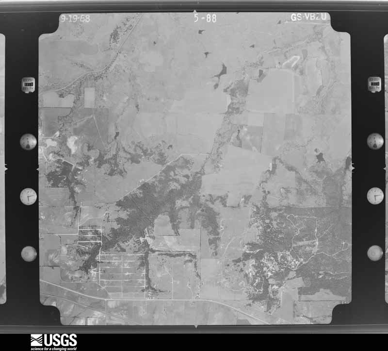
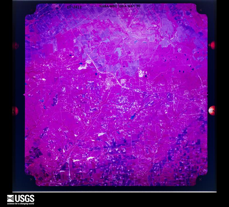
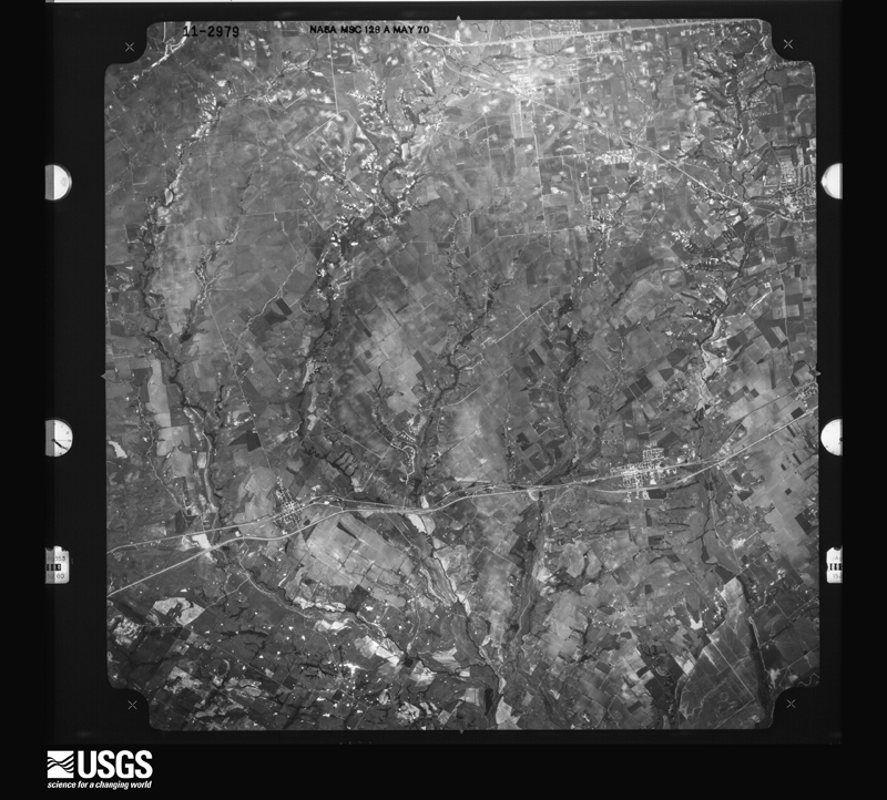
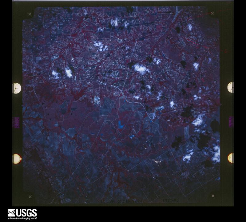
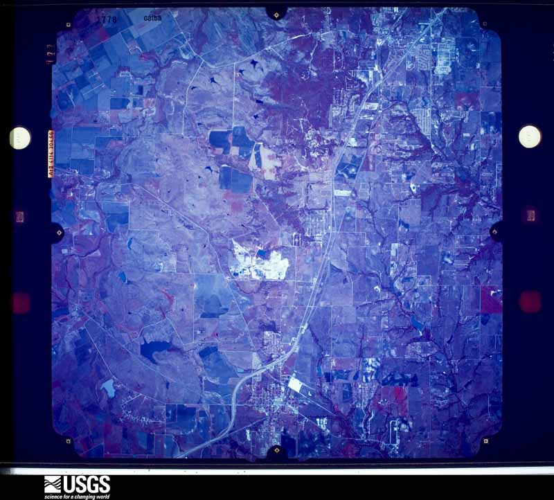
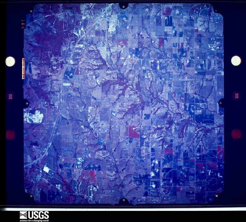
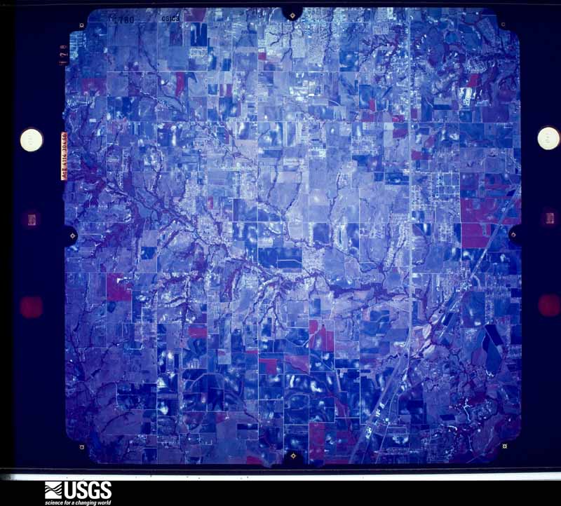
Flown by the U.S. Geological Survey between 1937 and 1989, the Aerial Photo Single Frames collection is the definitive mid-century view of the land: fields, roads and rivers as the camera saw them. The Survey holds 1,159 frames inside the rectangle that bounds this county; the 43 frames below were taken over the county itself, chosen across the decades of flights (at most four a year from that rectangle), so one flight cannot crowd out the rest. The full set is free to browse and download at EarthExplorer under the dataset Aerial Photo Single Frames.
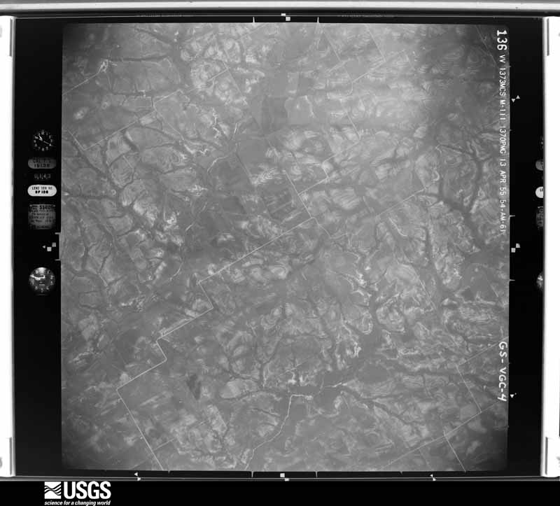
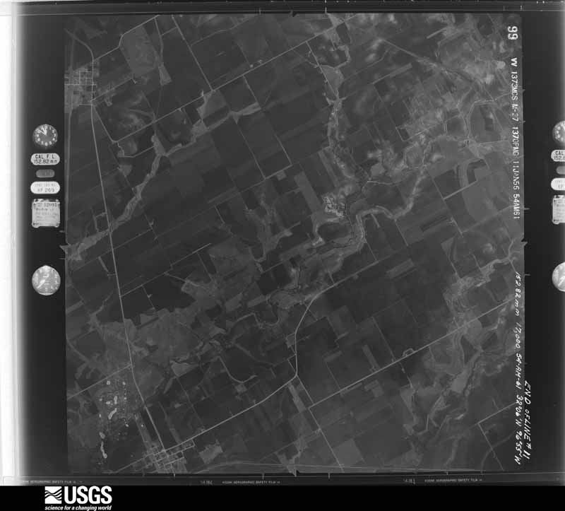
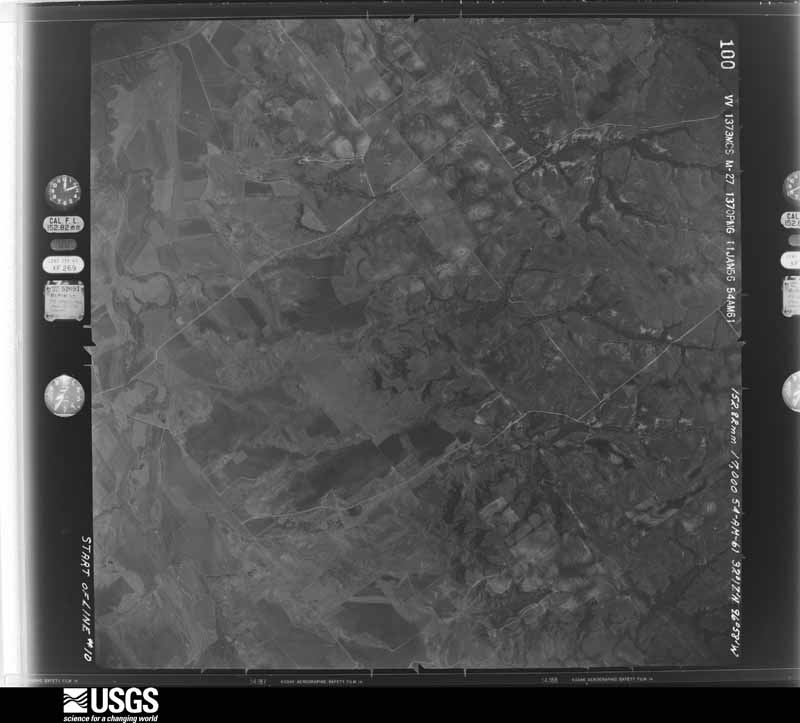
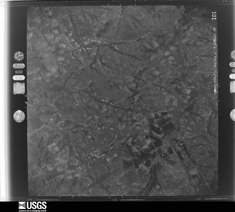





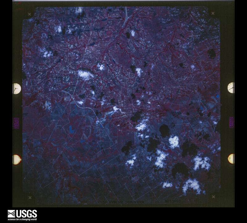
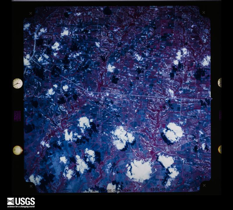
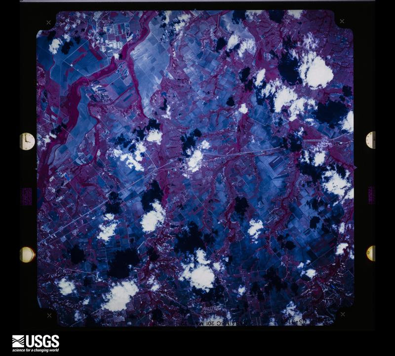
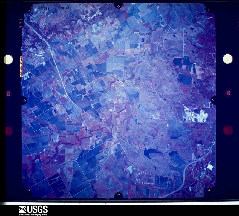
The thermometers that kept this county's weather, and the gages that measured the flow of its streams, as the federal records hold them. The extremes below are measured values from those records, not estimates.
Who lived here in 1950, one enumeration district at a time, as the Census Bureau described each district. Each row opens its official National Archives result, with Population Schedules and ED Maps available there.
Every wildfire the federal occurrence database records inside this county: 906 of them, burning about 18,346 acres. 11 started naturally and 25 were recorded as arson. Each settlement page carries the fires within five miles of it.
| Reported cause | Fires |
|---|---|
| Debris and open burning | 383 |
| Missing data/not specified/undetermined | 286 |
| Equipment and vehicle use | 117 |
| Smoking | 35 |
| Arson/incendiarism | 25 |
| Power generation/transmission/distribution | 24 |
| Misuse of fire by a minor | 16 |
| Natural | 11 |
| Recreation and ceremony | 5 |
| Railroad operations and maintenance | 4 |
The five largest, by the area the report gives. One of them was set deliberately.
| Date | Cause | Size | Reported by | Name on the report |
|---|---|---|---|---|
| 30 March 2006 | Missing data/not specified/undetermined | 6,000 acres | Texas A & M Forest Service | not named |
| 18 April 2006 | Equipment and vehicle use | 1,280 acres | Texas A & M Forest Service | not named |
| 18 April 2006 | Equipment and vehicle use | 700 acres | Texas A & M Forest Service | not named |
| 3 August 2018 | Power generation/transmission/distribution | 508 acres | Texas A & M Forest Service | GIFCO |
| 16 March 2006 | Arson/incendiarism | 500 acres | Texas A & M Forest Service | not named |
| 5 September 2011 | Missing data/not specified/undetermined | 375 acres | Texas A & M Forest Service | SPENCE ROAD FIRE |
| 14 October 2015 | Missing data/not specified/undetermined | 320 acres | Texas A & M Forest Service | UNION HILL |
| 10 February 2008 | Debris and open burning | 300 acres | Texas A & M Forest Service | not named |
Every settlement page carries the fires within five miles of it - see the settlement index below.
The NOAA Storm Events Database holds 926 reports for this county, causing 3 deaths, 148 injuries and about $80,612,080 in recorded property damage. Each settlement page carries the reports that name it.
| Kind of event | Reports |
|---|---|
| Hail | 437 |
| Thunderstorm Wind | 304 |
| Flash Flood | 100 |
| Tornado | 63 |
| Lightning | 10 |
| Flood | 9 |
| Heavy Rain | 2 |
| Wildfire | 1 |
The most serious of them, by death, then injury, then recorded damage. The accounts are quoted exactly as the forecast office filed them.
| When | Event | Place named | Harm | What the report says |
|---|---|---|---|---|
| July 2004 | Flash Flood | Ovilla | 2 killed, $20,000 | Two men drowned when they drove their trucks across a bridge that had been washed out from flash flooding around 445 AM. |
| March 2025 | Thunderstorm Wind | Ennis Muni Arpt | 1 killed, 4 hurt, $9,000 | A RV was blown over and rolled several times at the Texas Motorplex near Ennis. One man was killed and 4 others were injured. |
| December 2015 | Tornado (EF3) | Sardis | 46 hurt, $8,360,000 | This tornado produced a long and narrow damage path from just northeast of the Mid-Way Regional airport near Midlothian to the Ellis County line. The tornado then continued into Dallas County. Sixty-seven single family homes were affected, with 23 of these being completely destroyed. The strongest portion of the tornado occurred near the Ellis / Dallas County line, with EF3 damage observed in both counties. |
| April 1971 | Tornado (F2) | not stated | 20 hurt, $250,000 | no account filed |
| April 1958 | Tornado (F2) | not stated | 18 hurt, $250,000 | no account filed |
| November 1994 | Thunderstorm Wind | Maypearl | 17 hurt, $5,000 | High winds blew down power poles at the Maypearl football stadium injuring 17 people. Power lines were blown down in Maypearl. |
| December 1984 | Thunderstorm Wind | not stated | 10 hurt | no account filed |
| May 2021 | Tornado (EF2) | Five Pts | 8 hurt, $1,500,000 | Damage started in the Five Points area along FM 876. The tornado continued northeast, and the first signs of EF-2 damage were observed near Johnston and Hollis Roads. The tornado then crossed I-35E where it struck 3 semis and one cargo van. Three injuries occurred in this location. Next, the tornado struck a scrap metal yard on the east side of I-35E and moved on to damage homes and electrical towers near and along HWY 77 and Butler Ln. EF-2 damage was also observed in this area, in particular to one home. Maximum estimated winds were 120 mph, and there were 5 additional injuries in this area. The tornado tracked farther east, did EF-2 damage to one home on FM 55, and then crossed FM 55 and dissipated. |
| April 1992 | Thunderstorm Wind | not stated | 7 hurt | no account filed |
| November 1983 | Tornado (F2) | not stated | 6 hurt, $2,500,000 | no account filed |
| March 1961 | Tornado (F3) | not stated | 4 hurt, $2,500,000 | no account filed |
| December 1984 | Thunderstorm Wind | not stated | 3 hurt | no account filed |
| May 1957 | Tornado (F1) | not stated | 2 hurt, $25,000 | no account filed |
| April 1971 | Tornado (F2) | not stated | 1 hurt, $2,500,000 | no account filed |
| May 2013 | Tornado (EF1) | Ennis | 1 hurt, $650,000 | National Weather Service storm survey crews determined a tornado produced EF-1 damage to downtown Ennis, before continuing to move northeast. |
| December 2008 | Thunderstorm Wind | Waxahachie | 1 hurt, $3,000 | Tiles and light fixtures were damaged at a Wal-Mart due to high winds. One of the tiles fell on an occupant in the vision center, sending them to the hospital. |
| April 2021 | Hail | Italy | $20,000,000 | no account filed |
| October 2019 | Tornado (EF1) | Midlothian | $10,000,000 | The tornado began near Highway 67 and 9th Street on the north side of Midlothian and traveled east for approximately 2.8 miles. Several church and retail buildings experienced blown out windows and roof damage. One of the buildings connected to the Lighthouse Church was heavily damaged with the collapse of the southward facing wall and much of the roof removed. Just to the east of Highway 67, sheet metal was peeled on two buildings and metal roof purlins were bent on one. This damage was consistent with winds of 100 to 110 mph, and EF-1 intensity. The tornado weakened some as it headed east and crossed into a residential area south of Mockingbird Lane. Damage indicates the tornado intensified in the area of Morning Dove Lane and Pheasant Drive. Several homes experienced significant roof damage, uplift of the roof deck of at least one home, some windows blown out, a garage door collapsed, and several trees were uprooted. This type of damage was consistent with wind speeds of 100 to 110 mph, or EF-1 intensity. The tornado weakened before ending near Walnut Grove Road. |
| July 2004 | Flash Flood | Waxahachie | $5,000,000 | There was widespread flash flooding in and around Waxahachie. There were numerous high water rescues, a trailer park near Red Oak was evacuated, several bridges were under water, and many roads were flooded and closed. Over 100 homes had flood damage. |
| November 1994 | Thunderstorm Wind | Waxahachie | $5,000,000 | An apartment complex in Waxahachie was heavily damaged. Total damage in Ellis County was estimated at $5 million. |
| November 1994 | Thunderstorm Wind | Red Oak | $5,000,000 | High winds damaged or destroyed 82 homes and 19 businesses. Damage was estimated at $3 million. |
| October 1993 | Hail | Waxahachie | $5,000,000 | Hail damaged over 60 new cars. Nearly all the windows in a funeral home were broken, and numerous homes and businesses had roof damage. |
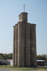
| October 2019 | Tornado (EF0) | Ferris | $1,000,000 | A tornado touched down briefly near Main Street and Highway 45/Central Street in Ferris. A silo near 7th and Main Street sustained damage and partially collapsed. There was roof damage to multiple business buildings south of 5th Street and along Main and Central Streets. A downed power pole and an uprooted tree were also noted in the same area. The damage was consistent with winds speeds between 75 and 85 mph, or EF-0 intensity. Sporadic wind damage was found across other potions of Ferris with damage mainly to trees and roofing. |
| April 2022 | Thunderstorm Wind | Ward | $600,000 | The RFD of the supercell that produced the EF-0 tornado west of Midlothian caused considerable wind damage south of the path. Along Miller and S Weatherford Roads barns, sheds, trees and roofs were damaged. The LaSalle Corporation business building along Hwy 67 sustained significant roof damage to metal panels on the west side of the building. On the west side of Midlothian, an 18 wheeler was overturned at the Love's Truck Stop. |
| April 2011 | Thunderstorm Wind | Waxahachie | $600,000 | Significant roof damage was reported in Waxahachie. The damage was surveyed by the NWS and straight-line winds around 80 mph were confirmed. A warehouse on the south side of town lost most of its roof. An apartment complex on Franklin Street sustained partial roof loss and damage to brick walls. Damage also occurred to the roof of the Comfort Suites near I-35E and Hwy 287 on the north side of the city. Along I-35E, the Stelco Industries building was nearly destroyed. Heavy machinery at the plant was moved. The awning at a gas station at the Walmart along I-35E also collapsed. |
| March 2003 | Hail | Ennis | $500,000 | 275 cars were damaged by a brief hailstorm. The roof of the showroom was also damaged. |
| February 1993 | Thunderstorm Wind | Waxahachie | $500,000 | A day care center was unroofed and power lines were blown down by strong wind. |
| February 1993 | Tornado (F1) | Red Oak | $500,000 | Eight houses were damaged and power lines were knocked down. |
| June 2012 | Hail | Midlothian | $300,000 | Baseball sized hail was reported at Highway 67 and 9th Street on the north side of Midlothian. |
| June 2012 | Hail | Lone Elm | $300,000 | Ping pong ball sized hail was reported 3 miles south of Midlothian. |
| May 2000 | Thunderstorm Wind | Ennis | $300,000 | The roof of an industrial building was blown off by strong thunderstorm wind. Large tree limbs were blown down and thirteen homes were damaged by falling trees. Fifty seven homes suffered minor damage and numerous fences were blown down. |
| June 2000 | Flash Flood | Countywide | $300,000 | Numerous county and farm market roads were closed due to flash flooding. A trailer park in Red Oak had to be evacuated due to flooding and a house in Palmer flooded. |
| July 2012 | Lightning | Waxahachie | $271,000 | Waxahachie Fire Department reported that 5 houses were struck by lightning around 8 PM CDT in the city of Waxahachie. Four of the houses caught fire with varying amounts of damage. One home suffered $80,000 worth of damage, while another house only had minor damage and suffered $1,000 worth of damage. The two other homes suffered $150,000 and $40,000 of damage. |
| April 2015 | Flash Flood | Lone Elm | $250,000 | Flash flooding occurred in downtown Waxahachie resulting in water several feet deep in some businesses. The College St Pub, Waxahachie Police Department, and Ellis Associate Surveyors, all located close together between North College St and North Jackson St, reported flooding in their buildings. Outside the pub, the water was estimated to be 3-4 feet deep. Up to 3 inches of rain fell in less than 2 hours. |
| September 2010 | Thunderstorm Wind | Reagor Spgs | $250,000 | Strong thunderstorm winds, possibly from a microburst, turned over several portable buildings at a business in Reagor Springs. The roofs were torn off a few of the portable buildings and nearly all 18 were damaged. A mobile home on the same property was turned over and landed on two vehicles. Also in Reagor Springs, trees were knocked down and shingles were torn off roofs. |
| May 2007 | Thunderstorm Wind | Milford | $250,000 | Seventeen electrical towers were knocked down. Numerous power lines and poles were also knocked down. About 30,000 homes lost power. A gas pump fell on top of the passenger cab of a truck. The man inside was not injured. |
| March 2004 | Tornado (F1) | Bardwell | $250,000 | Trees and storage buildings were damaged south and southeast of Bardwell. In the south part of Ennis, a mobile home was unroofed and several 18 wheelers were blown over. A 3 year old 3,000 sq ft house was destroyed. A warehouse/office building along Interstate 45 had most of it's roof removed. Another 18 wheeler on Interstate 45 was blown over. |
| May 1978 | Tornado | not stated | $250,000 | no account filed |
| March 1957 | Tornado | not stated | $250,000 | no account filed |
| April 1956 | Tornado (F1) | not stated | $250,000 | no account filed |
| May 2015 | Flash Flood | Gifco | $200,000 | Homes on the west side of Highway 287, across from Lake Padera, were flooded. |
| August 2014 | Lightning | Waxahachie | $200,000 | The local newspaper reported lightning started a fire at Bent Tree Townhomes in Waxahachie. The fire damaged the roof of 4 units, which affected 18 families. |
| March 2007 | Flash Flood | Ferris | $200,000 | Numerous roads were closed across the county, including Interstate 45 near Ferris and Palmer. Across the county, several homes were flooded, and fifteen bridges were damaged by flood waters. Cars were also submerged near Waxahachie. |
| March 2002 | Lightning | Maypearl | $200,000 | A lightning caused fire destroyed a home near Maypearl. |
| June 2012 | Hail | Midlothian | $160,000 | Golf ball sized hail was reported on Highway 287, 3 miles east of Highway 67 near Midlothian. |
| March 2004 | Tornado (F1) | Italy | $150,000 | A mobile home was unroofed southeast of Italy and numerous barns and outbuildings were damaged. A family was trapped in a collapsed mobile home in Avalon, and another mobile home was blown over.Southwest of Avalon a high tension tower was bent over. |
| May 2015 | Tornado (EF0) | Howard | $120,000 | Amateur radio operators observed a tornado to the east and southeast of Waxahachie. The tornado produced damage to homes, fences, and storage buildings as it moved to the northeast. As many as twenty homes suffered at least minor damage, with only one home suffering more than shingle damage. |
| March 2025 | Thunderstorm Wind | Sonoma | $100,000 | Broadcast media reported nearly the entire roof of the Days Inn on I-45 at Newcrest was blown off along with some second story walls. |
| May 2024 | Hail | Service | $100,000 | A public report indicated 2-inch diameter hail near the intersection of US Highway 77 and Dart Way in Waxahachie. |
| June 2023 | Hail | Service | $100,000 | A 3.75 inch hail stone was measured in a photo. |
| June 2012 | Hail | Midlothian | $100,000 | Slightly larger than quarter sized hail was reported in Midlothian. |
| March 2007 | Flash Flood | Waxahachie | $100,000 | A swift water rescue was required in downtown Italy after two occupants abandoned a flooded vehicle. Numerous other roads were flooded and closed countywide, including Highway 77, portions of Interstate 45, CR 878 near Palmer, Edmonds Road, East Pecan Road, and West Pecan Road in Forreston. Water also flooded a house to a depth of several feet in Waxahachie. Several roads and bridges were washed out due to the heavy rains. |
| May 1999 | Thunderstorm Wind | Red Oak | $100,000 | Widespread wind damaged was caused by thunderstorms. |
| April 1999 | Thunderstorm Wind | Waxahachie | $100,000 | A school cafeteria was destroyed by thunderstorm winds. |
| May 2021 | Hail | Waxahachie | $100,000 | no account filed |
| July 1996 | Lightning | Waxahachie | $100,000 | no account filed |
| July 1996 | Heavy Rain | Ennis | $100,000 | no account filed |
| April 2026 | Hail | Ennis | $75,000 | Social media photo on X showed 2.5 inch hail in Ennis. |
| April 2011 | Thunderstorm Wind | Bardwell | $75,000 | Thunderstorm winds were estimated to be near 90 to 100 MPH in Bardwell. Numerous trees in and around the town were reported to be flattened. |
| September 2009 | Flash Flood | Britton | $75,000 | Significant flooding was reported across Ellis County from heavy rainfall that fell in just a few hours. It was reported that over 10 of rain fell in parts of the northern portions of the county. Water was reported over the road at Interstate 35E, mile marker 395. Water was over the road on Highway 77 near Italy and high water rescues were reported in the Ferris area. A local newspaper listed several roads that were closed around the county, including part of the I-35E service road, the service roads along I-45 (in the Palmer area), and numerous County Roads and Farm-to-Market roads around the county. Another local newspaper also reported that the water was 3 feet deep in Bristol on FM 660. |
The Survey's mineral resources record lists 10 workings inside this county. All of them still produce. Each settlement page carries the workings within five miles of it.
| Commodity | Workings |
|---|---|
| Clay | 3 |
| Stone, Crushed/Broken | 3 |
| Limestone, General, Stone, Crushed/Broken | 2 |
| Stone, Crushed/Broken, Clay, Limestone, General | 2 |
The least common of them first, because a county's hundredth gravel pit says nothing its first ten did not.
| Where | Site | Commodity | Status | Recorded |
|---|---|---|---|---|
| Gifford-Hill Cement Plant | Stone, Crushed/Broken, Clay, Limestone, General | Producer | ||
| Midlothian Gifford-Hill Quarry | Limestone, General, Stone, Crushed/Broken | Producer | Limestone, Shale | |
| Midlothian Quarry & Mill | Stone, Crushed/Broken, Clay, Limestone, General | Producer | ||
| Midlothian Texas Industries Quarry | Limestone, General, Stone, Crushed/Broken | Producer | Sedimentary | |
| Ferris Clay Pit & Plant | Clay | Producer | ||
| Gifford-Hill Clay Pit | Clay | Producer | ||
| Gifford-Hill Quarry & Plant | Stone, Crushed/Broken | Producer | ||
| Stephens Pit | Stone, Crushed/Broken | Producer | ||
| Texas Industries Cement Plant | Stone, Crushed/Broken | Producer | ||
| Texas Industries Clay Pit | Clay | Producer |
Named settlements recorded in the Geographic Names Information System, each with the topographic sheets covering it. Villages, hamlets and abandoned places alike. Each is shown with the nearest named watercourse or landform and the survey quadrangle it falls on.
Maypearl census division · 76050 · On Boggy Creek · Maypearl quadrangle
16 sheets, 1891 to 1985
Italy census division · 76651 · On Bell Branch · Italy quadrangle
10 sheets, 1954 to 1985
Midlothian census division · 76065 · On Bedford Branch · Britton quadrangle
18 sheets, 1894 to 1995
Waxahachie census division · 75119 · On Elm Branch · Cryer Creek quadrangle
9 sheets, 1954 to 1985
Maypearl census division · 76084 · On Spring Branch · Maypearl quadrangle
16 sheets, 1891 to 1985
Waxahachie census division · 75167 · On Long Branch · Midlothian quadrangle
10 sheets, 1954 to 1985
Maypearl census division · 76064 · On East Fork Chambers Creek · Maypearl quadrangle
16 sheets, 1891 to 1985
Waxahachie census division · 75154 · On Willow Brook · Lancaster quadrangle
19 sheets, 1891 to 1986
Waxahachie census division · 75119 · On Clear Creek · Emhouse quadrangle
9 sheets, 1954 to 1985
Waxahachie census division · 75154 · On Shiloh Branch · Cedar Hill quadrangle
21 sheets, 1891 to 1995
Ferris census division · 75152 · On Cottonwood Creek · Palmer quadrangle
11 sheets, 1954 to 1985
Waxahachie census division · 75154 · On Sanger Branch · Waxahachie quadrangle
10 sheets, 1954 to 1985
Waxahachie census division · 75119 · On Long Branch · Cryer Creek quadrangle
9 sheets, 1954 to 1985
Waxahachie census division · 75154 · On Little Creek · Lancaster quadrangle
19 sheets, 1891 to 1986
Waxahachie census division · 75152 · On Sanger Branch · Waxahachie quadrangle
10 sheets, 1954 to 1985
Waxahachie census division · 76065 · On Long Branch · Midlothian quadrangle
10 sheets, 1954 to 1985
Waxahachie census division · 75165 · On North Grove Creek · Waxahachie quadrangle
10 sheets, 1954 to 1985
Ennis census division · 75119 · On Cottonwood Creek · Ennis East quadrangle
11 sheets, 1954 to 1985
Ferris census division · 75125 · On Long Branch · Palmer quadrangle
11 sheets, 1954 to 1985