 Block
BlockFrom the record
9 National Register listings published here.
Sources: the National Register database, National Park Service
82 topographic sheets cover 27 settlements here, and 9 properties are on the National Register of Historic Places.
9 National Register listings published here.
Sources: the National Register database, National Park Service
Every property in this county listed on the National Register of Historic Places, with the year it was listed and the federal nomination document.
| Photograph | Property | Type | Listed | Reference |
|---|---|---|---|---|
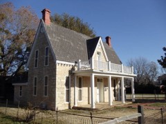 | Berry House | building | 1980 | 80004116 |
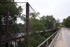 | Bluff Dale Suspension Bridge | structure | 1977 | 77001440 |
 | Erath County Courthouse | building | 1977 | 77001441 |
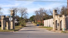 | Erath Memorial Arch | object | 2018 | 100002348 |
 | First National Bank Building | building | 2015 | 15000450 |
 | Stephenville Downtown Historic District | district | 2018 | 100002349 |
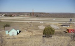 | Thurber Historic District | district | 1979 | 79002936 |
| Wyatt-Hickie Ranch Complex | building | 1985 | 85003162 |
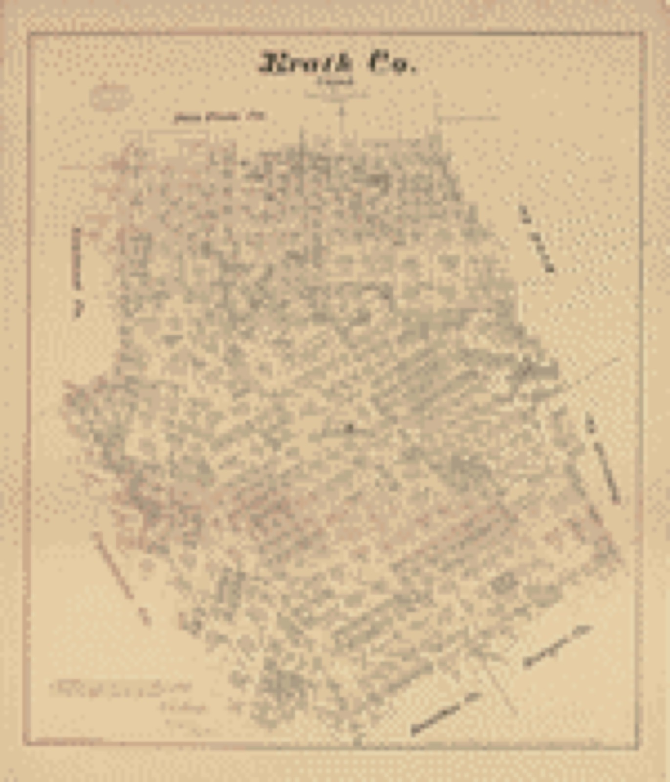
Drawn when these were printed as single large sheets: the town seen from the air, and the county divided into its farms with every owner named. Each opens the original at the Library of Congress.

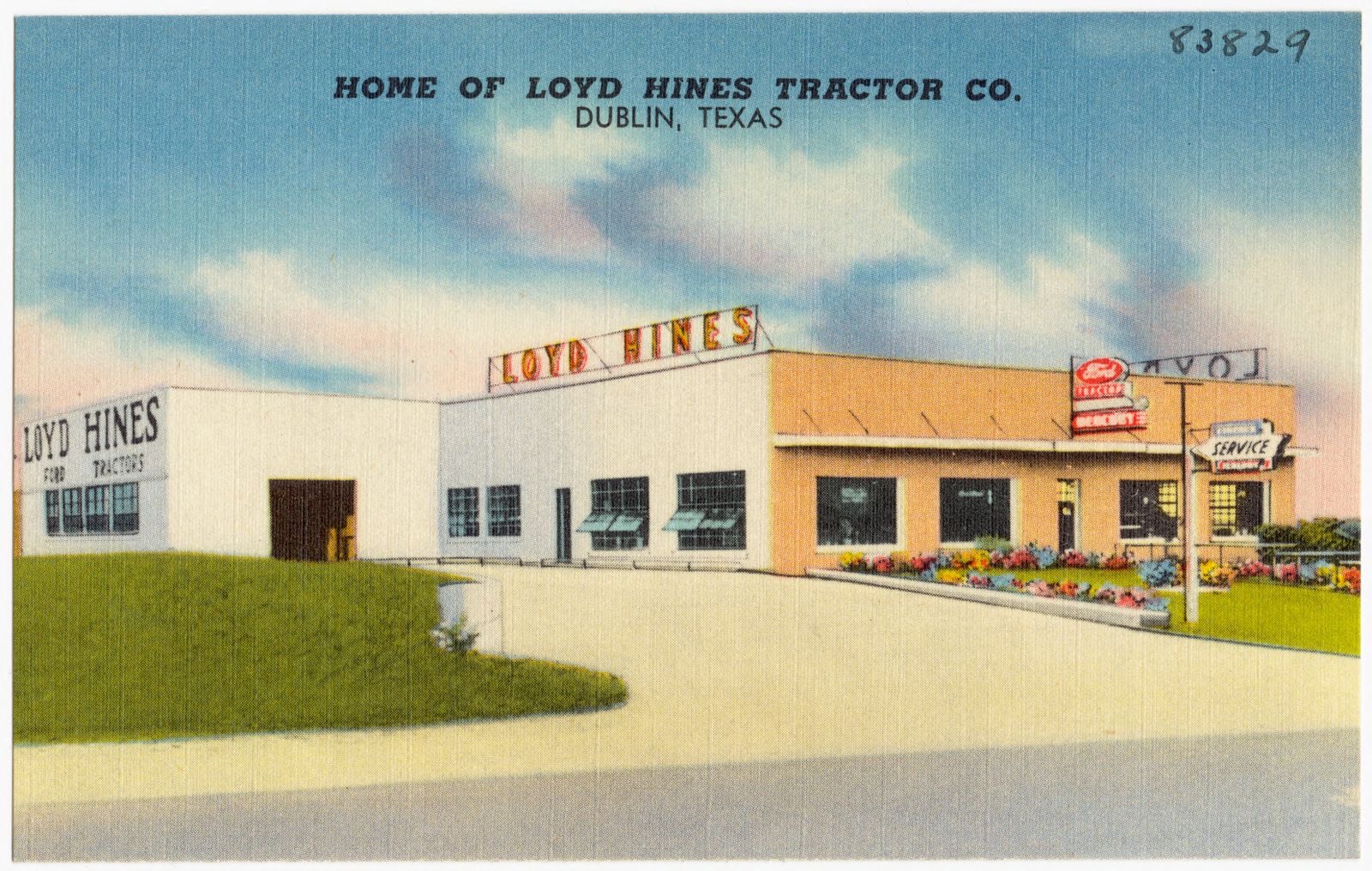
Selected from the Digital Public Library of America's 3 image records catalogued for this county. Every one shown here carries a public-domain status or a licence that permits reuse on a site that carries advertising; non-commercial, share-alike and restricted images are excluded. The selection is spread across the county's towns (at most eight per town), so no single institution's bulk upload crowds out the rest. Each opens the holding library's record, and the complete set at the Digital Public Library of America is one click away.
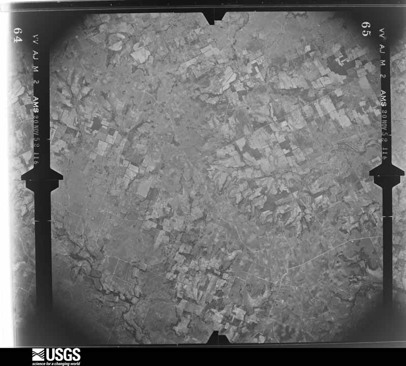
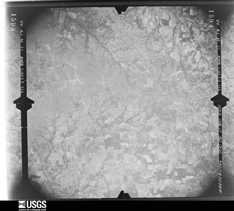
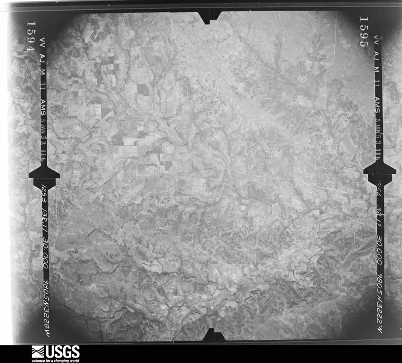
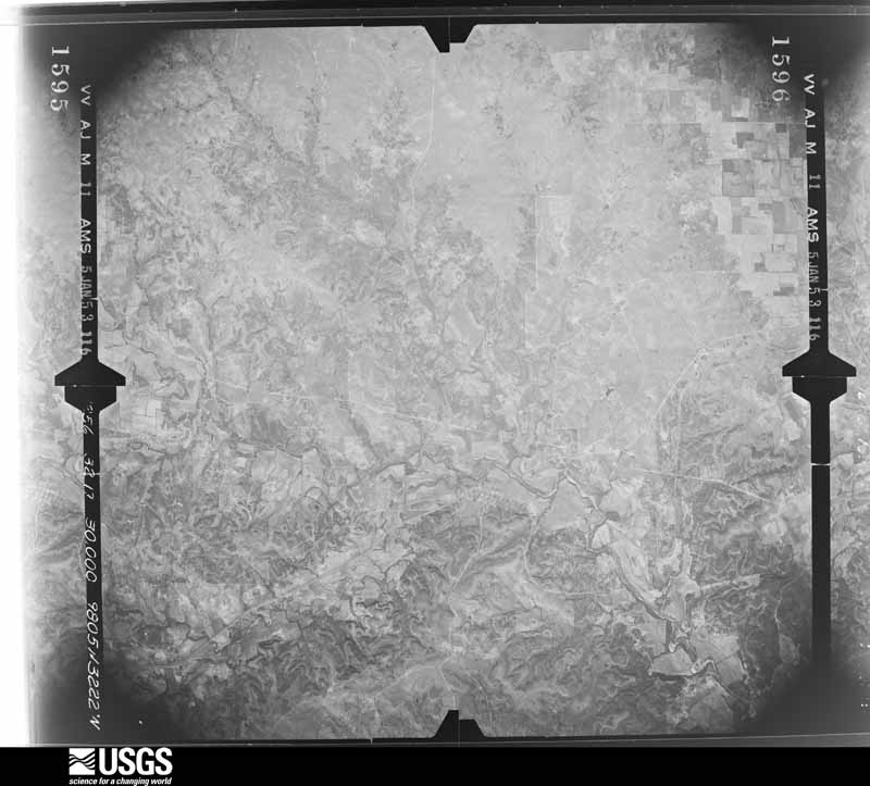
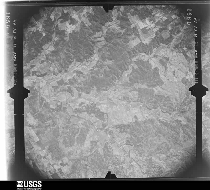
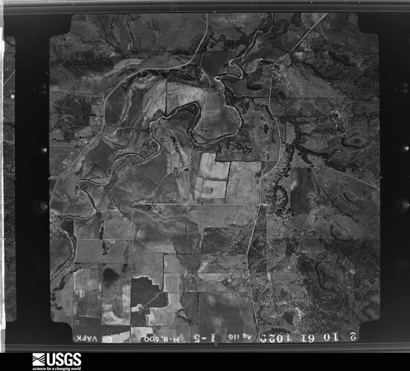
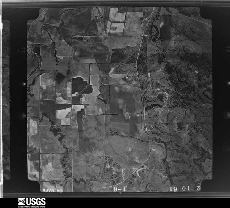
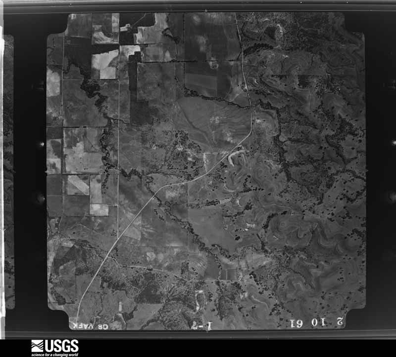
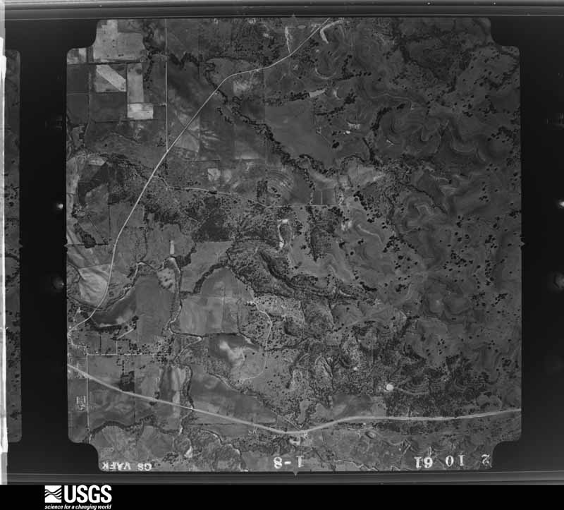
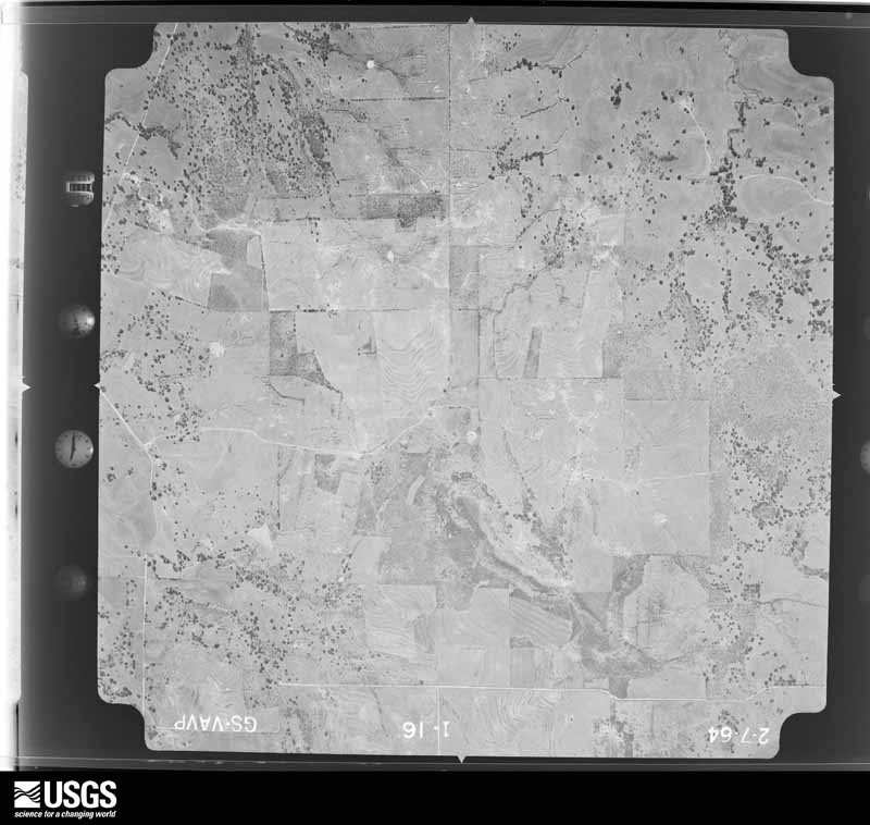
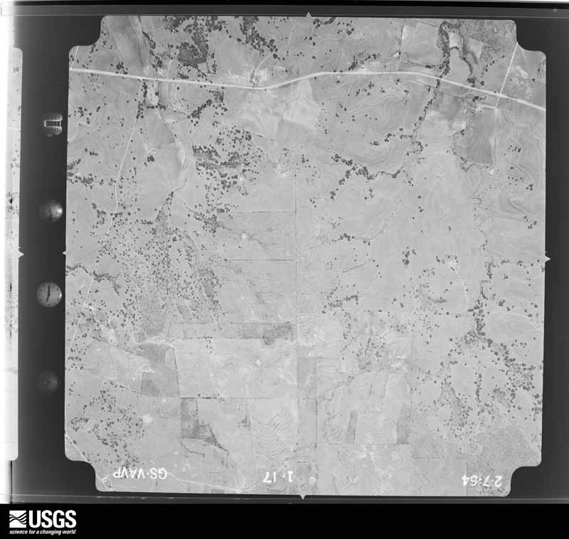
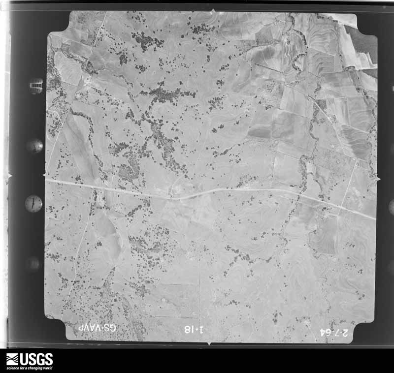
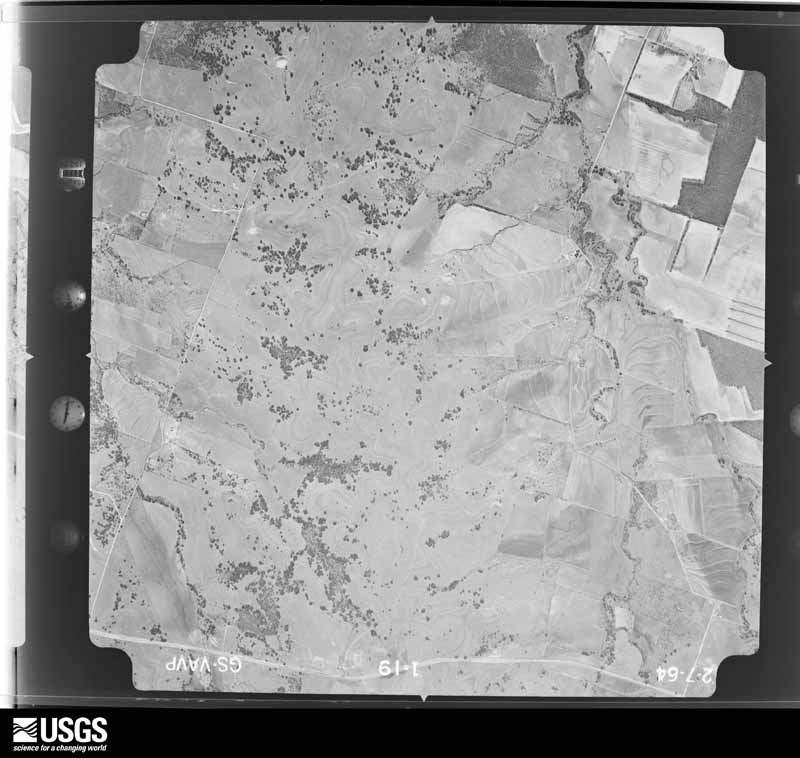
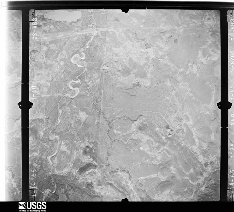
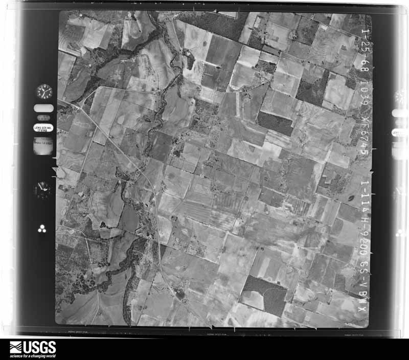
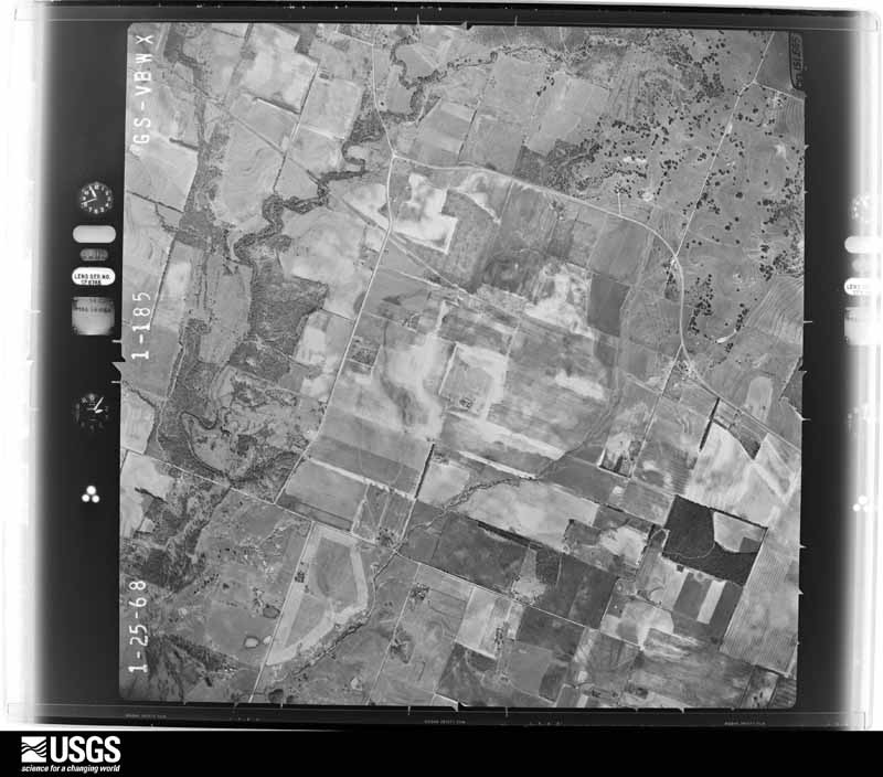
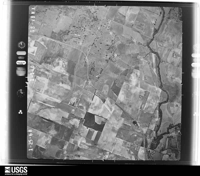
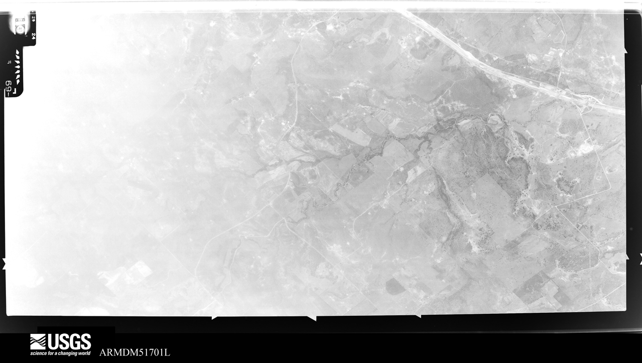
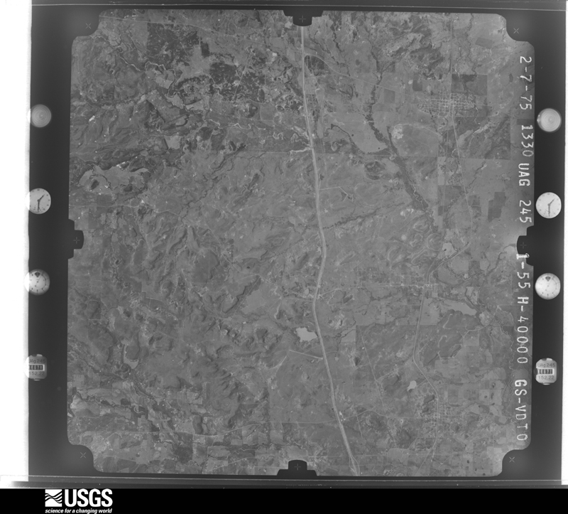
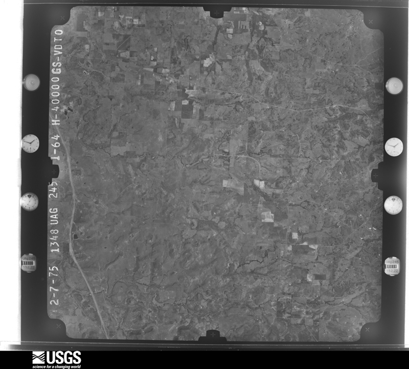
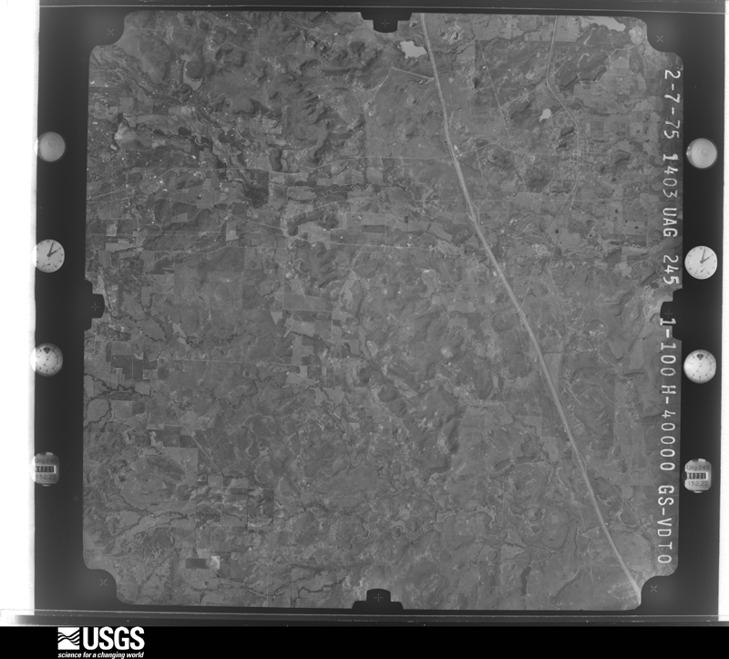
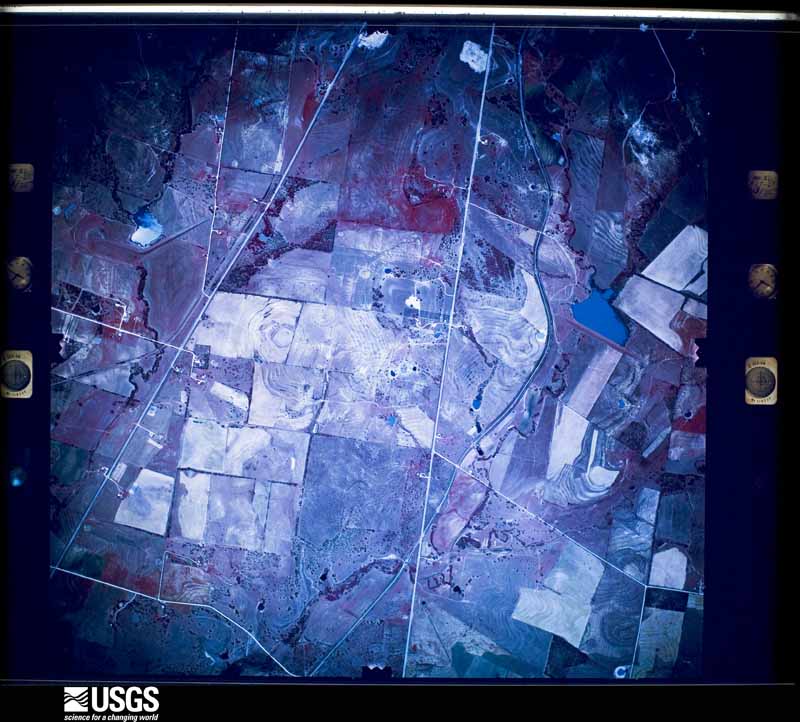
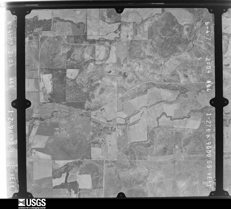
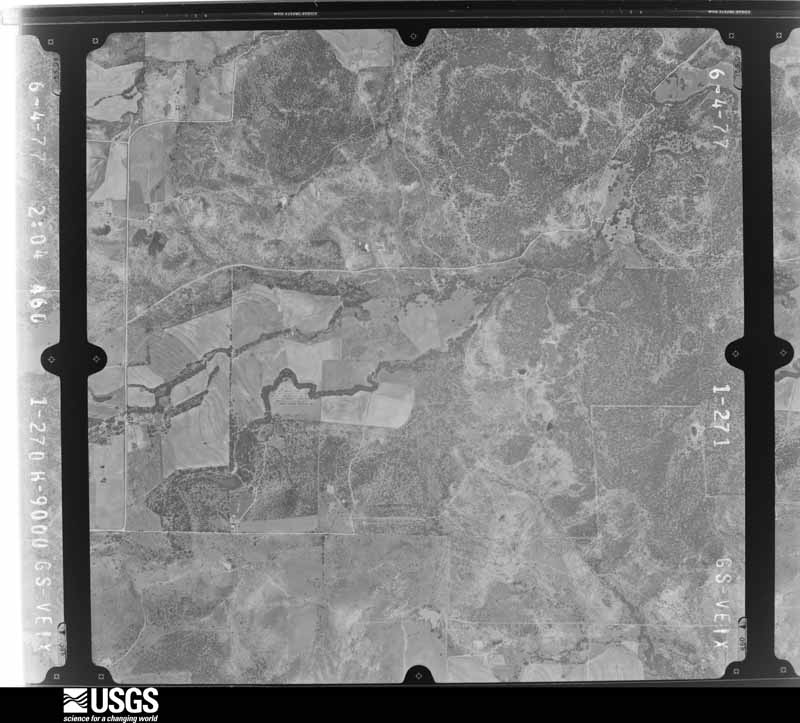
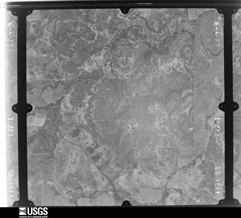
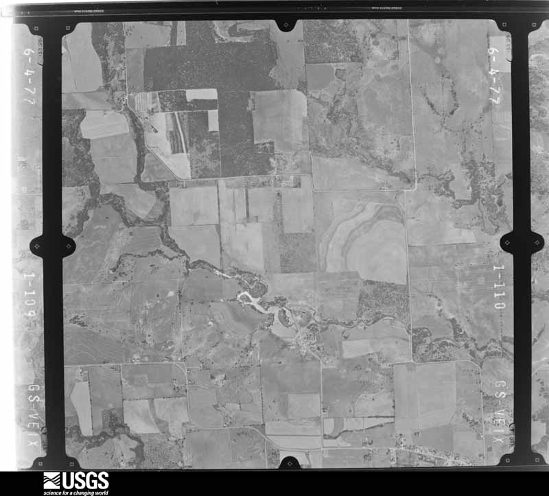
Flown by the U.S. Geological Survey between 1937 and 1989, the Aerial Photo Single Frames collection is the definitive mid-century view of the land: fields, roads and rivers as the camera saw them. The Survey holds 1,236 frames inside the rectangle that bounds this county; the 32 frames below were taken over the county itself, chosen across the decades of flights (at most four a year from that rectangle), so one flight cannot crowd out the rest. The full set is free to browse and download at EarthExplorer under the dataset Aerial Photo Single Frames.
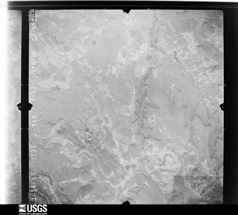
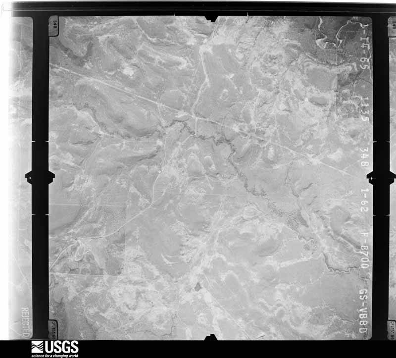
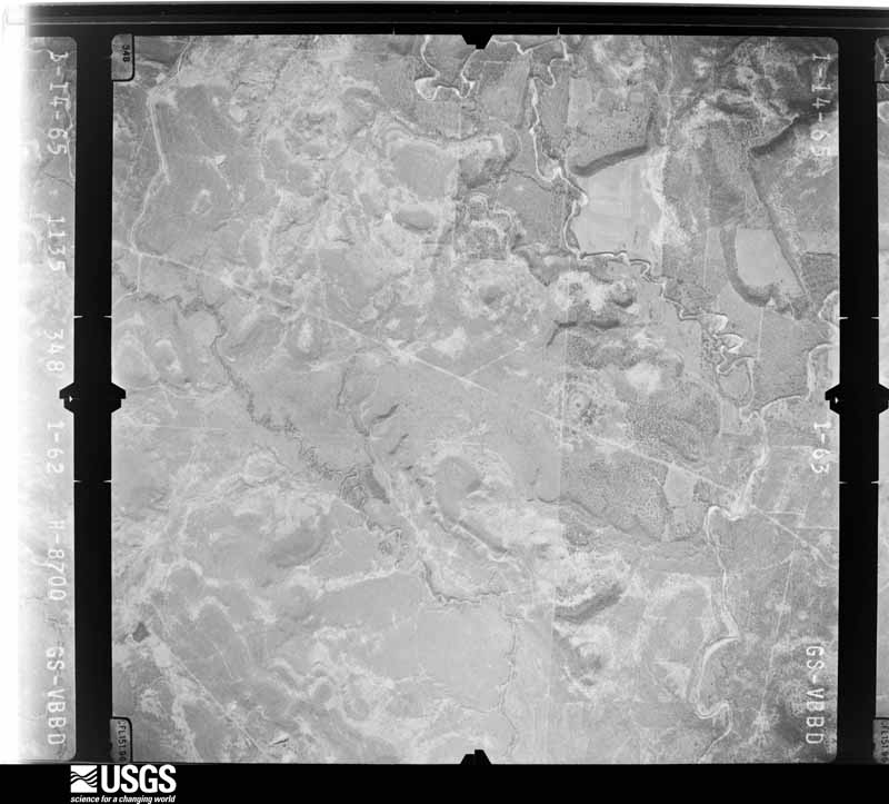
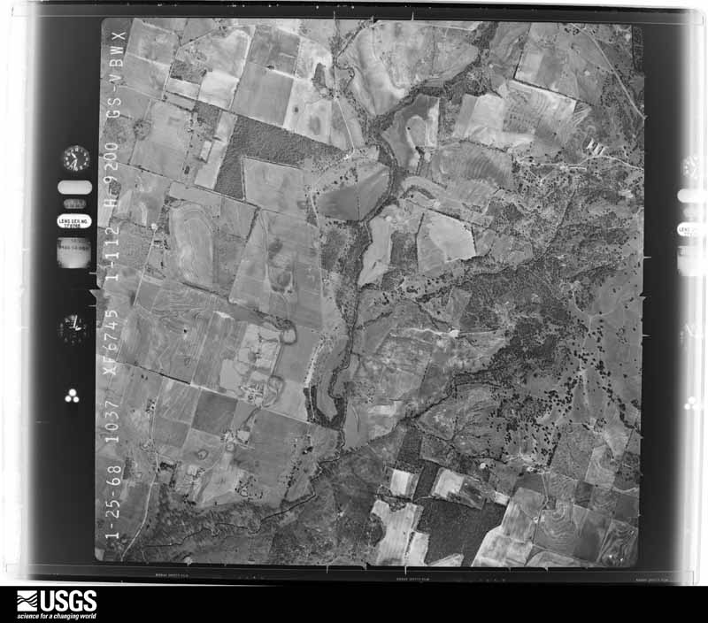


The thermometers that kept this county's weather, and the gages that measured the flow of its streams, as the federal records hold them. The extremes below are measured values from those records, not estimates.
Who lived here in 1950, one enumeration district at a time, as the Census Bureau described each district. Each row opens its official National Archives result, with Population Schedules and ED Maps available there.
Every wildfire the federal occurrence database records inside this county: 2,308 of them, burning about 41,924 acres. 35 started naturally and 98 were recorded as arson. Each settlement page carries the fires within five miles of it.
| Reported cause | Fires |
|---|---|
| Debris and open burning | 1043 |
| Missing data/not specified/undetermined | 565 |
| Equipment and vehicle use | 449 |
| Arson/incendiarism | 98 |
| Power generation/transmission/distribution | 56 |
| Natural | 35 |
| Smoking | 27 |
| Recreation and ceremony | 16 |
| Railroad operations and maintenance | 11 |
| Misuse of fire by a minor | 8 |
The five largest, by the area the report gives. None of them was recorded as arson.
| Date | Cause | Size | Reported by | Name on the report |
|---|---|---|---|---|
| 8 March 2008 | Debris and open burning | 6,000 acres | Texas A & M Forest Service | not named |
| 2 January 2006 | Missing data/not specified/undetermined | 5,000 acres | Texas A & M Forest Service | HUCKABAY |
| 19 July 2008 | Natural | 2,530 acres | Texas A & M Forest Service | WELL 35 |
| 29 January 2007 | Missing data/not specified/undetermined | 1,300 acres | Texas A & M Forest Service | not named |
| 29 January 2008 | Missing data/not specified/undetermined | 1,000 acres | Texas A & M Forest Service | not named |
| 26 June 2009 | Equipment and vehicle use | 750 acres | Texas A & M Forest Service | COLLIER RANCH |
| 13 December 2017 | Missing data/not specified/undetermined | 721 acres | Texas A & M Forest Service | 220 |
| 24 February 2011 | Power generation/transmission/distribution | 700 acres | Texas A & M Forest Service | CROUCH FIRE |
Every settlement page carries the fires within five miles of it - see the settlement index below.
The NOAA Storm Events Database holds 545 reports for this county, causing 3 deaths, 3 injuries and about $35,829,560 in recorded property damage. Each settlement page carries the reports that name it.
| Kind of event | Reports |
|---|---|
| Hail | 311 |
| Thunderstorm Wind | 144 |
| Tornado | 46 |
| Flash Flood | 36 |
| Flood | 8 |
The most serious of them, by death, then injury, then recorded damage. The accounts are quoted exactly as the forecast office filed them.
| When | Event | Place named | Harm | What the report says |
|---|---|---|---|---|
| April 2019 | Flash Flood | Dublin Comm Arpt | 3 killed, 1 hurt, $10,000 | Erath County Sheriff's Department reported that a vehicle was swept off the road after driving into high water along Highway 1702 approximately 3 miles south of the city of Dublin, TX. A mother and her two children drowned. The name of the creek that was over the road was Kirkendell Creek. |
| May 1982 | Tornado (F3) | not stated | 2 hurt, $250,000 | no account filed |
| April 1990 | Tornado (F2) | not stated | $25,000,000 | no account filed |
| April 1994 | Thunderstorm Wind | not stated | $5,000,000 | Supercell thunderstorms continually formed across western Erath County and spread eastward over the remainder of the county. These storms moved over the same areas continually producing multiple large hail reports, downburst winds, and two tornadoes. Heavy rains ,of over 4 inches occurred in some areas. County-wide hail damage was placed at over 1,238,000 dollars, nearly all of which was caused by hail. |
| April 2025 | Tornado (EF1) | Clairette | $1,000,000 | An EF-1 tornado with max winds of 110 mph touched down 5.7 miles northwest of Hico along FM 1824 and moved northeast, damaging a few trees and outbuildings. Along CR 238, several trees were snapped and uprooted and outbuildings damaged. Further to the northeast, a home on CR 229 received roof and siding damage and several trees and outbuildings were damaged. More homes and trees were damaged along CR 209, and a large dairy farm received damage to buildings. The worst damage occurred along CR 211 where one home lost much of its roof and siding, and a mobile home was completely destroyed with debris blown up to 700 yards away across fields. The tornado curved more eastward and weakened, with the last damage noted along FM 2481 to trees in the Johnsville community. |
| March 2016 | Tornado (EF1) | Stephenville | $500,000 | A tornado caused EF-1 damage to several businesses and homes in the city limits of Stephenville. The tornado began near a business on U.S. Highway 377 on the south side of town, damaging a metal building structure. The tornado moved north and northeast, heavily damaging an apartment building, and causing tree and power line damage on the campus of Tarleton State University. As the tornado dissipated, homes and garages were damaged at the Foster's home for children, on the north side of Stephenville. |
| July 2007 | Flash Flood | Stephenville | $500,000 | Several roads were flooded along the southern county border, and a high water rescue was needed on FM 914 six miles south of Alexander. Also in Alexander, CR 284 had about four feet of water over it's bridge. Five parts of Highway 1602 at Honey Creek were washed out, and Highway 281 was closed due to flood waters. There were a few reports of damaged driveways and culverts. |
| May 2021 | Hail | Stephenville | $250,000 | A public report indicated hen-egg sized hail in the city of Stephenville, TX. |
| April 1971 | Tornado (F2) | not stated | $250,000 | no account filed |
| March 2016 | Tornado (EF0) | Dublin | $130,000 | The Dublin Police Department reported damage from a tornado early in the morning of March 9th. The tornado was short lived, and produced minor damage to approximately ten buildings in downtown Dublin. |
| April 2023 | Hail | Dublin | $100,000 | Baseball sized hail was reported in Dublin. |
| October 2019 | Thunderstorm Wind | Stephenville | $100,000 | A line of severe thunderstorms moved across Erath County, producing a pattern of downburst straight-line wind damage within the City of Stephenville. Minor tree damage, consistent with 50 mph winds, was first observed approximately 3 blocks west of the Tarleton State University campus. Wind damage increased on the Tarleton campus proper, highlighted by widespread tree branch and trunk damage, and the partial removal of roofing material from a multi-story dormitory building. Maximum wind speeds at this dorm were estimated at 75 mph, based on the severity of the damage. Several other buildings on the Tarleton campus also sustained minor damage. East of campus, numerous trees were damaged toward the downtown areas of Stephenville, and at least one porch roof was detached from a single-family home. The roof of the main fire station in downtown Stephenville sustained |major damage, as large sections of metal roofing material were removed from the structure and deposited in the street. Straight line wind speeds at this fire station were estimated to be 80 mph. Adjacent businesses in the downtown area also received minor wind damage - mainly to window glass and roof fascia. Additional scattered tree damage was observed just east through south of downtown Stephenville. The downburst appeared to dissipate near the intersection of US Highway 281 and US Highway 377 on the east side of the city. |
| May 2015 | Hail | Stephenville | $100,000 | A trained spotter reported tennis ball sized hail in Stephenville, TX. Erath County Sheriff's Department had to replace 2 Tahoes that were damaged beyond repair by the hail. |
| April 2008 | Thunderstorm Wind | Dublin | $100,000 | Structural damage was reported along Highways 108 and 426 and along CR 128. Tarleton State University's livestock building suffered a roof collapse, with metal roofing and beams scattered. One mobile home was heavily damaged on CR 128. Numerous outbuildings and trees were blown down across the county. A barn collapsed on a horse, killing it. Damage was scattered around the Dublin, Stephenville, Huckabay, and Morgan Mill areas. |
| April 2015 | Hail | Stephenville | $100,000 | no account filed |
| March 2025 | Thunderstorm Wind | Lingleville | $75,000 | Social media photos indicated a mobile home was destroyed between Lingleville and Stephenville. No injuries were reported. |
| September 1996 | Thunderstorm Wind | Lingleville | $75,000 | no account filed |
| April 2023 | Hail | (Sep)Clark Fld Steph | $60,000 | Tennis to baseball sized hail was reported on social media south of Stephenville. |
| April 2014 | Hail | Dublin | $60,000 | Amateur radio spotters reported golf ball sized hail covering the ground in the city of Dublin. |
| April 2023 | Hail | Duffau | $50,000 | A public report indicated 2-inch diameter hail about 7 miles north of Hico. |
| April 2023 | Hail | Stephenville | $50,000 | A trained spotter reported golf ball sized hail about 4 miles south of Stephenville, TX. |
| April 2023 | Hail | Victor | $50,000 | Baseball sized hail was reported 10 miles northeast of De Leon, which is in Comanche County. |
| June 2019 | Hail | Harbin | $50,000 | A social media report indicated baseball size hail near the intersection of CR 253 and FM 914, approximately 6 miles south of the city of Stephenville, TX. |
| May 2016 | Flash Flood | Thurber | $50,000 | The sheriff's office reported multiple high water rescues in the county; mainly across the northern half of the county. A trained spotter also reported Highway 6 between De Leon and Dublin was flooded. |
| March 2016 | Thunderstorm Wind | Stephenville | $50,000 | A public report stated that numerous buildings were damaged in Stephenville. |
| April 2015 | Thunderstorm Wind | Stephenville | $50,000 | Thunderstorm winds were estimated at 80 mph in Stephenville. Large tree limbs were knocked down in the city. |
| April 2015 | Hail | Dublin | $50,000 | Golf ball to baseball sized hail fell in Dublin. |
| January 2010 | Thunderstorm Wind | Stephenville | $50,000 | Fairly widespread damage was reported in the city of Stephenville with many 4 to 6 tree limbs down, roofs damaged, and fences blown down. |
| August 2010 | Thunderstorm Wind | Lingleville | $50,000 | A possible microburst caused damage along a 3 mile stretch on FM 219 between Lingleville and Huckabay. The exact location of the damage is unknown. Trees were snapped, homes were damaged, and a barn lost its metal roof. More significantly, a large silo was blown from its base across a field. |
| June 1994 | Thunderstorm Wind | Alexandria | $50,000 | A barn was blown down by thunderstorm winds. A dairy near Alexandria had extensive damage. |
| June 1994 | Thunderstorm Wind | Dublin | $50,000 | Thunderstorm winds blew trees down in Dublin. The Tex-Az dairy had $5,000 damage from high winds. |
| June 1994 | Thunderstorm Wind | Stephenville | $50,000 | A motel next to the National Weather Service office in Stephenville was partially unroofed by thunderstorm winds. |
| June 1994 | Thunderstorm Wind | Stephenville | $50,000 | A large metal building was thrown onto a home. Trees and power lines were blown down by thunderstorm winds. The metal roof of a house was blown off. |
| October 1994 | Thunderstorm Wind | Morgan | $50,000 | A radio tower was blown down. |
| February 1994 | Thunderstorm Wind | Dublin | $50,000 | Strong winds destroyed a shop, and the roof of a home was damaged. Total damage was estimated at $15,000. |
| May 1994 | Hail | Three Way | $50,000 | Wind-driven golf ball-size hail did considerable window and roof damage in southeast Erath County at Three Way. |
| May 1994 | Thunderstorm Wind | Lingleville | $50,000 | Thunderstorm winds unroofed a mobile home. |
| April 1994 | Tornado (F0) | Alexander | $50,000 | A brief tornado touchdown destroyed a barn. |
| April 2017 | Hail | Lingleville | $40,000 | Fire Department reported golf ball size hail in Lingleville Fire Station. |
| April 2008 | Tornado (EF0) | Sapoak | $40,000 | A damage survey conducted by the National Weather Service in Fort Worth found that a tornado developed near the intersection of CR 140 and CR 141 north of Morgan Mill. Large trees were snapped along CR 140 and FM 3208. Tree and sporadic roof damage occurred across FM 2603, and continued northeast into Palo Pinto County. This tornado was rated an EF-0 with maximum winds between 80 and 85 MPH. |
| June 2007 | Flash Flood | Stephenville | $40,000 | In Stephenville, water was several feet deep over McCart, Frey, Vanderbilt, and Ollie Streets. Homes and businesses were flooded in Morgan Mill with CR 146 washed out. Several families were evacuated. Flooding was also reported over Highway 281 north of town. |
| April 2008 | Hail | Thurber | $35,000 | Golfball to baseball-size hail fell south of Gordon on Interstate-20. |
| April 2007 | Thunderstorm Wind | Stephenville | $30,000 | A roof was blown off a house and a tree fell on a car in Stephenville. |
| January 2010 | Thunderstorm Wind | Stephenville | $25,000 | Part of the roof of the physical plant at Tarelton State University came off. |
| April 2008 | Flash Flood | Stephenville | $25,000 | Cars were stranded in Stephenville by flood waters. One occupant was saved by firefighters and a policeman before her vehicle was carried away by the water. |
| April 2008 | Thunderstorm Wind | Morgan Mill | $25,000 | A large tree was blown onto a house in extreme northeast Erath County. |
| April 2008 | Hail | Dublin | $25,000 | Baseball-size hail reported just north of Dublin. |
| December 2006 | Tornado (F1) | Alexander | $25,000 | Several residents reported seeing a tornado near Alexander. A local dairy was destroyed, as was a barn. Damage to fences and trees was also reported. Numerous cows were killed. |
| July 2005 | Thunderstorm Wind | Stephenville | $25,000 | Roofs of two houses blown off...trees and power lines also blown down. |
| May 1998 | Thunderstorm Wind | Stephenville | $25,000 | Thunderstorm winds blew the roof off a dairy and blew out windows. |
| April 2021 | Hail | Immermerc | $25,000 | no account filed |
| February 1984 | Tornado (F1) | not stated | $25,000 | no account filed |
| May 1982 | Tornado (F1) | not stated | $25,000 | no account filed |
| June 1982 | Tornado (F1) | not stated | $25,000 | no account filed |
| April 1980 | Tornado (F1) | not stated | $25,000 | no account filed |
| April 1976 | Tornado (F2) | not stated | $25,000 | no account filed |
| March 1962 | Tornado (F1) | not stated | $25,000 | no account filed |
| February 1950 | Tornado (F1) | not stated | $25,000 | no account filed |
| May 2014 | Flash Flood | Harbin | $20,000 | Six to eight inches of water was reported over Highway 67 approximately 5 miles southwest of Stephenville. |
| May 2011 | Thunderstorm Wind | Huckabay | $20,000 | Thunderstorm winds blew cars off the road on Highway 108 ten miles north of Stephenville. |
The Survey's mineral resources record lists 2 workings inside this county. None of them still produces: all are closed or unrecorded. Each settlement page carries the workings within five miles of it.
| Commodity | Workings |
|---|---|
| Clay | 2 |
The least common of them first, because a county's hundredth gravel pit says nothing its first ten did not.
Named settlements recorded in the Geographic Names Information System, each with the topographic sheets covering it. Villages, hamlets and abandoned places alike. Each is shown with the nearest named watercourse or landform and the survey quadrangle it falls on.
Duffau-Clairette census division · 76446 · On Cottonwood Creek · Alexander quadrangle
12 sheets, 1890 to 1985
Morgan Mill-Bluff Dale census division · 76433 · On Wolf Creek · Bluff Dale quadrangle
14 sheets, 1890 to 1985
Duffau-Clairette census division · 76649 · Chalk Mountain quadrangle
15 sheets, 1889 to 1985
Duffau-Clairette census division · 76457 · On Green Creek · Clairette quadrangle
12 sheets, 1890 to 1985
Duffau-Clairette census division · 76457 · On Turkey Branch · Clairette quadrangle
12 sheets, 1890 to 1985
Morgan Mill-Bluff Dale census division · 76401 · On Hannibal Creek · Huckabay quadrangle
13 sheets, 1890 to 1985
Dublin census division · 76446 · On Sand Branch · Lingleville quadrangle
13 sheets, 1890 to 1985
Morgan Mill-Bluff Dale census division · 76401 · On Henshaw Creek · Morgan Mill quadrangle
12 sheets, 1890 to 1985
Morgan Mill-Bluff Dale census division · 76401 · On Turkey Creek · Morgan Mill quadrangle
12 sheets, 1890 to 1985
Dublin census division · 76446 · On Kirkendell Creek · Dublin quadrangle
12 sheets, 1890 to 1985
Stephenville census division · 76401 · On Dry Branch · Stephenville quadrangle
15 sheets, 1890 to 1985
Duffau-Clairette census division · 76401 · Near Lone Mountain · Johnsville quadrangle
13 sheets, 1890 to 1985
Morgan Mill-Bluff Dale census division · 76463 · Near New York Hill · Strawn East quadrangle
16 sheets, 1891 to 1985
Stephenville census division · 76401 · Stephenville quadrangle
15 sheets, 1890 to 1985