 Block
BlockFisher County, Texas
31 topographic sheets cover 23 settlements here.
Research this county
What the record shows
- 284 topographic sheet readings cover the county's settlements.
- The Geographic Names Information System records 23 populated places in this county; 23 are covered by at least one topographic sheet.
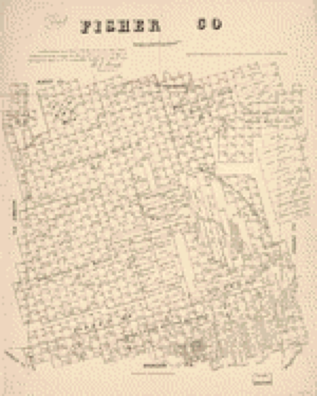
Bird's-eye views and land ownership maps
2Drawn when these were printed as single large sheets: the town seen from the air, and the county divided into its farms with every owner named. Each opens the original at the Library of Congress.

The county from the air
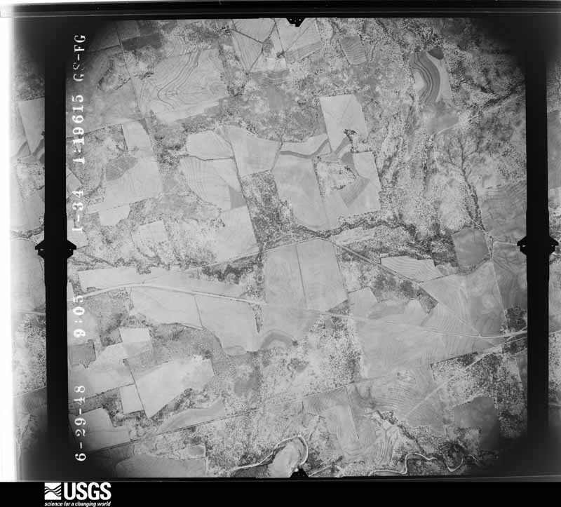
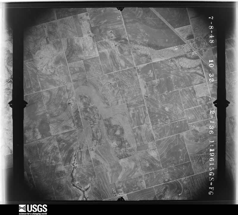
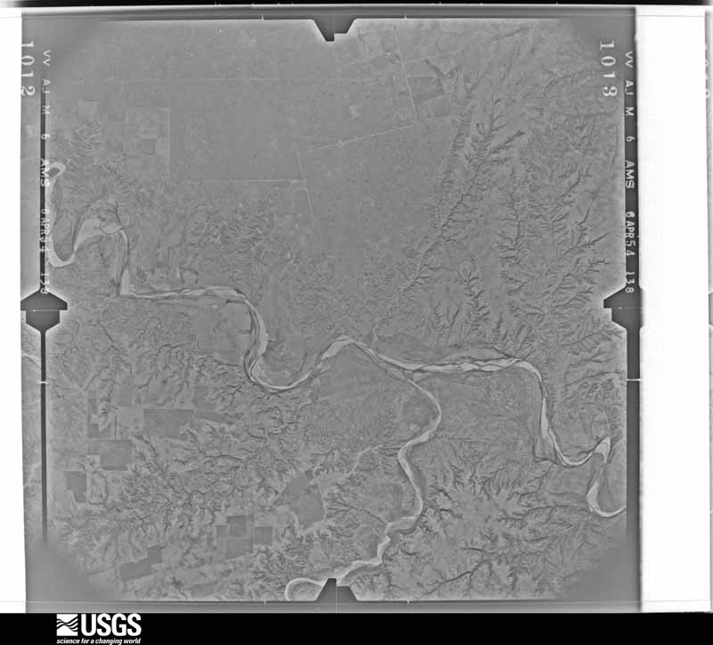
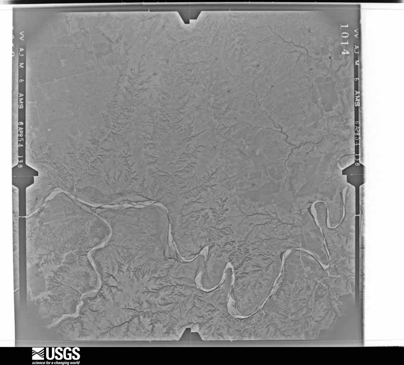
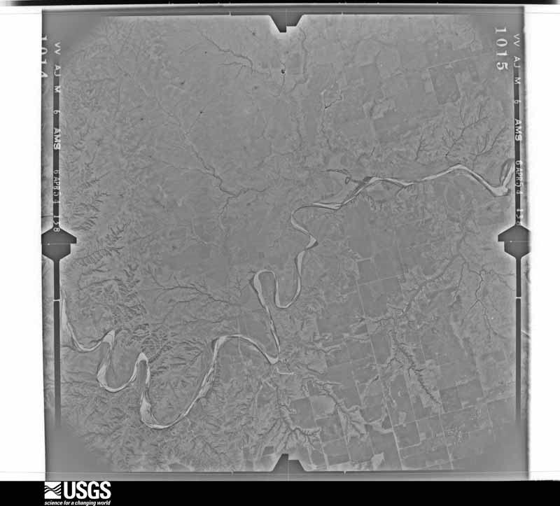
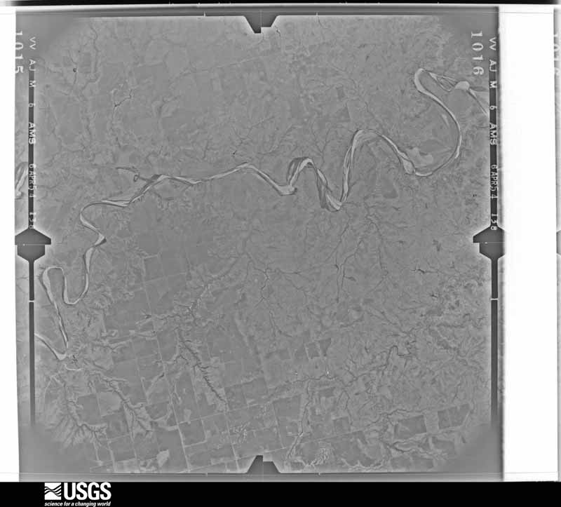
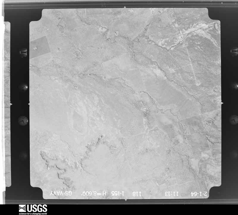
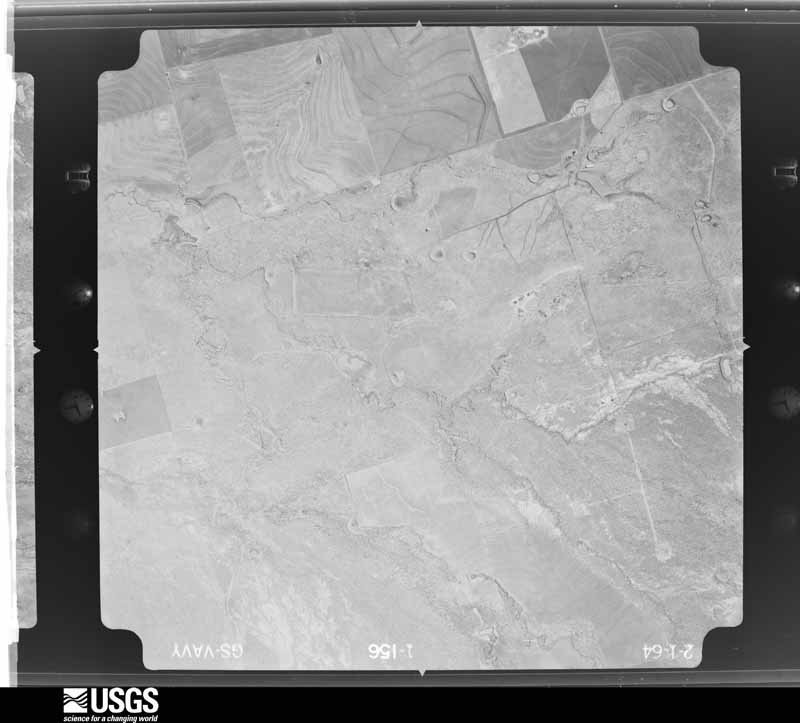
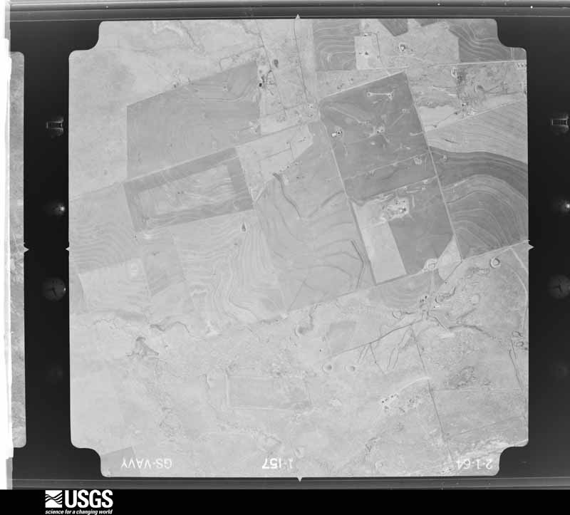
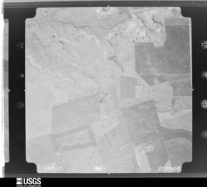
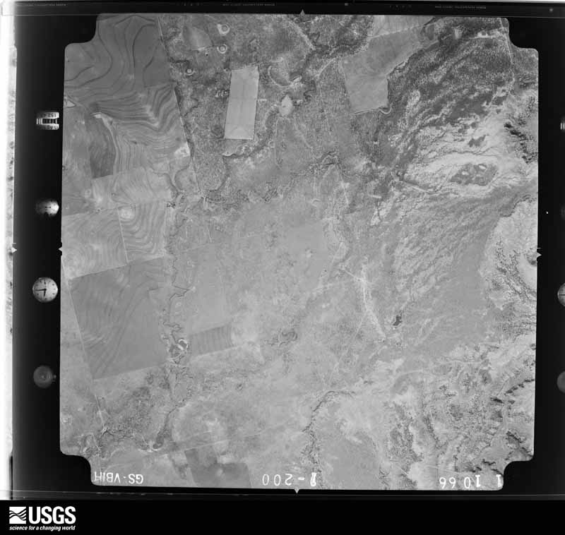
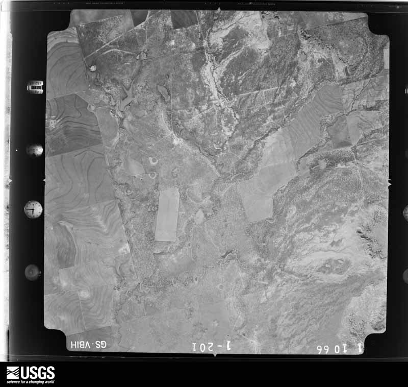
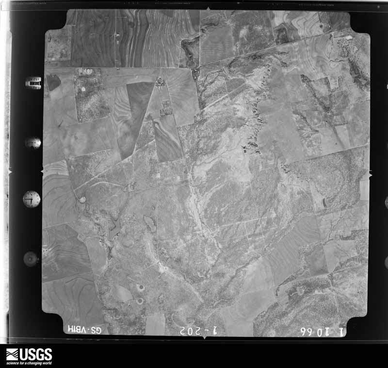
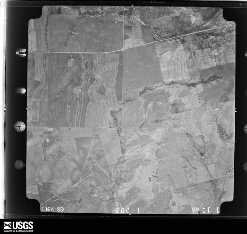
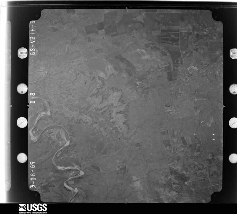
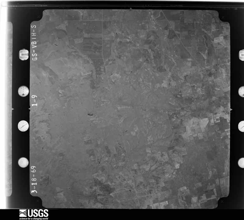
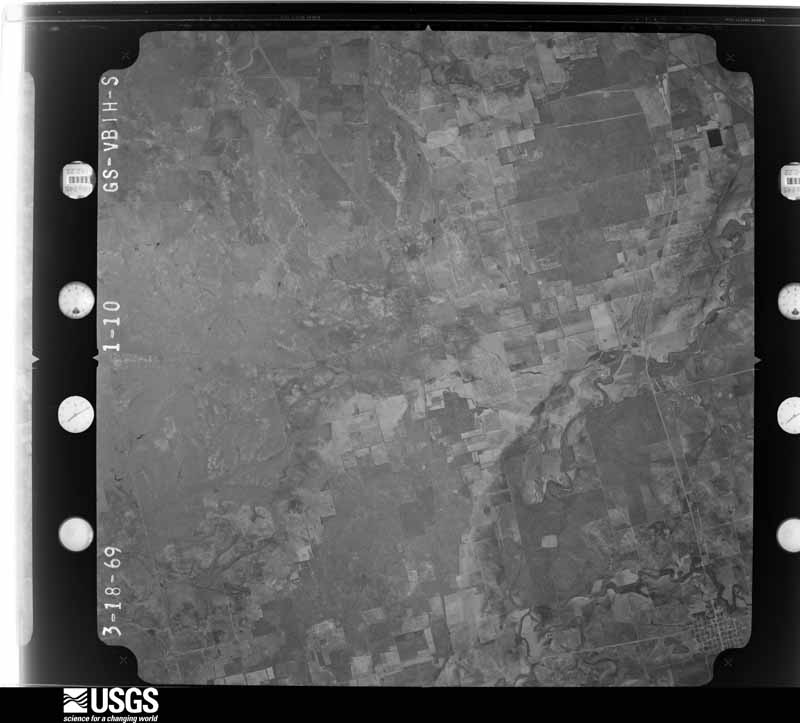
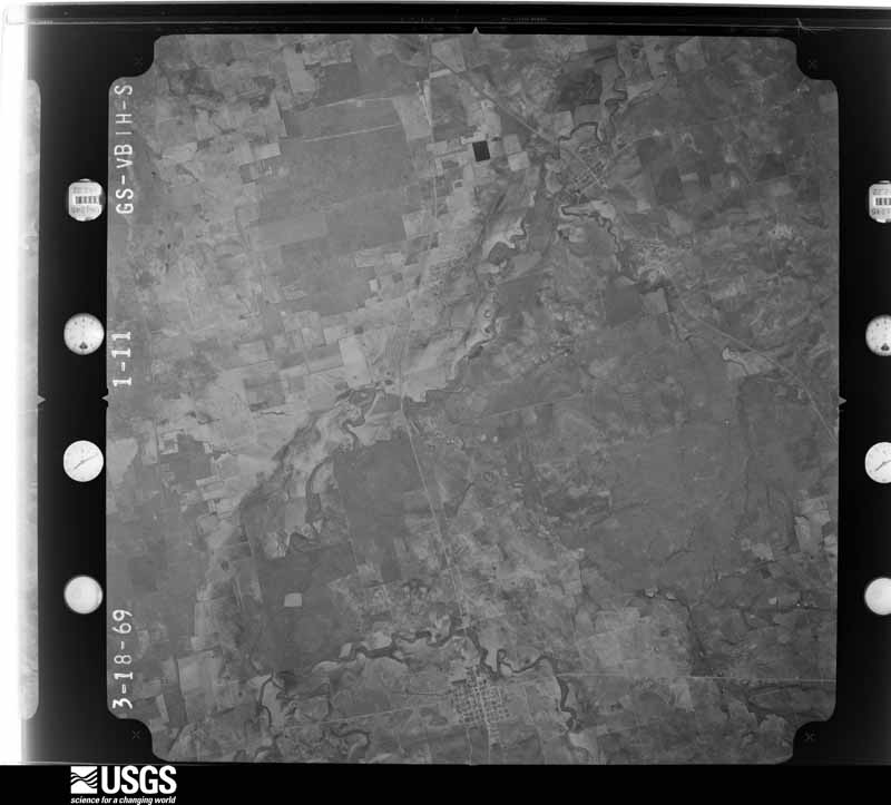
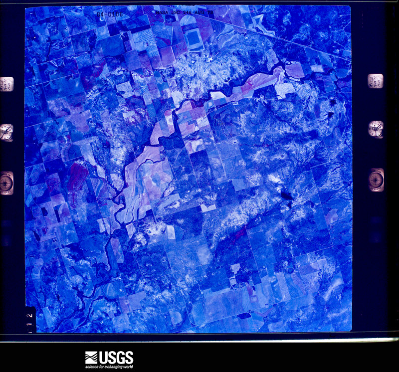
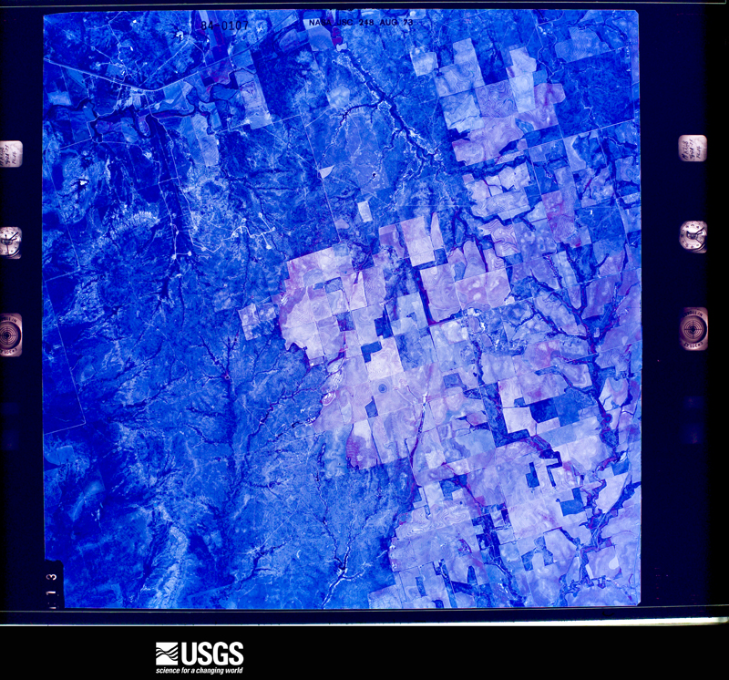
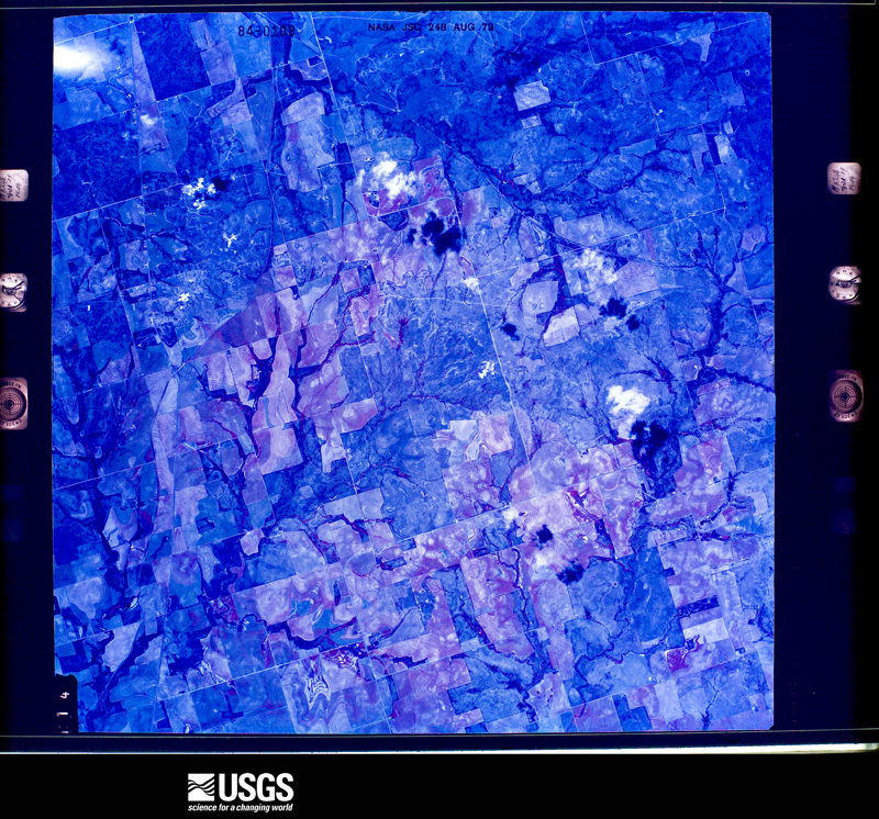
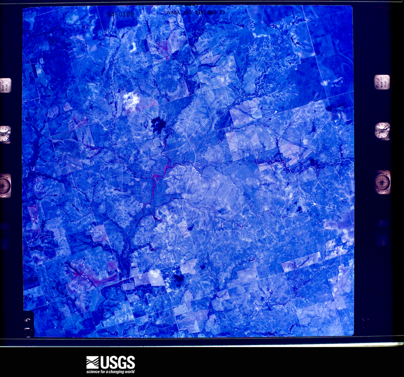
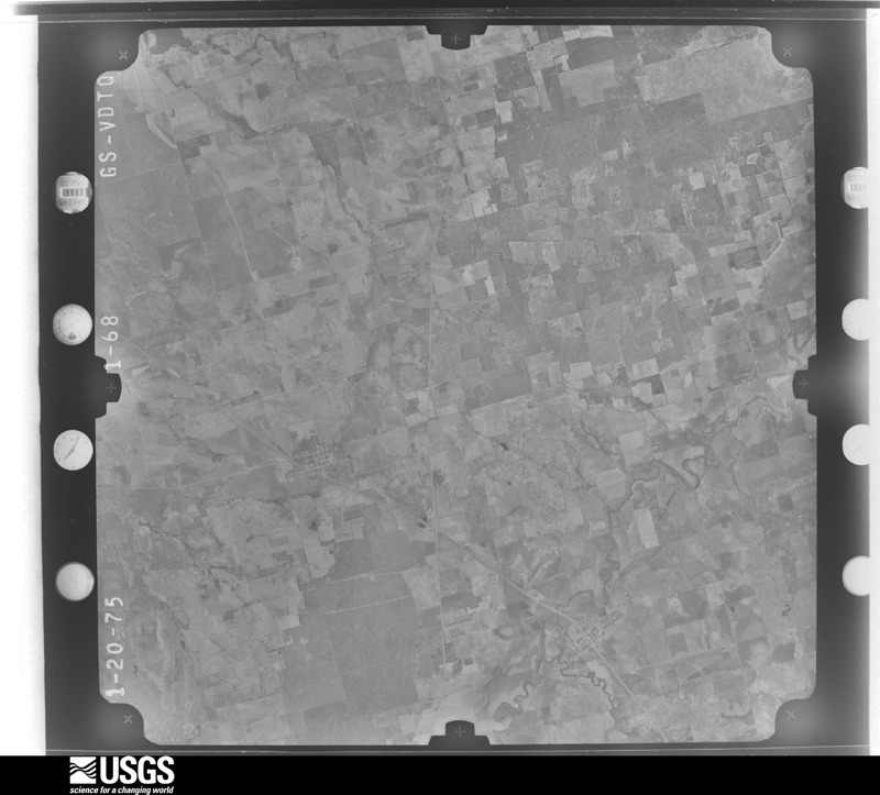
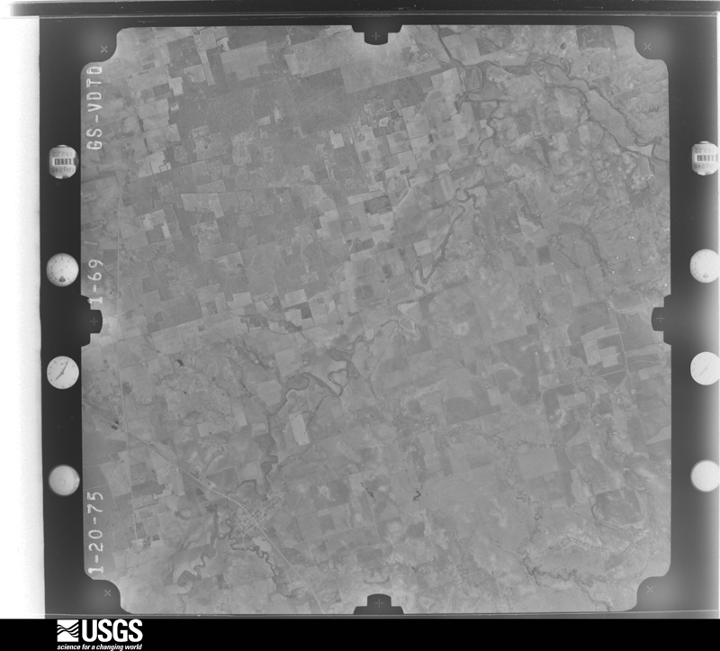
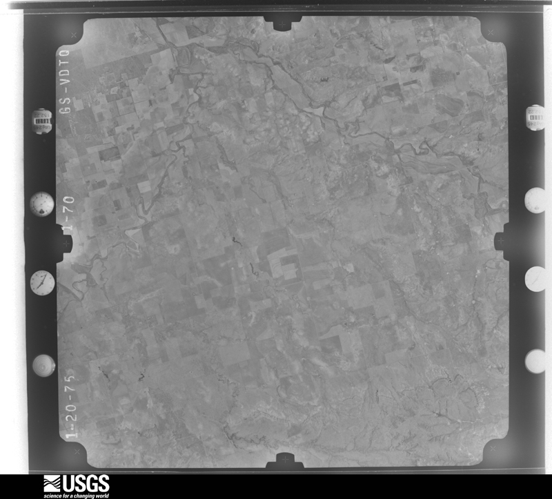
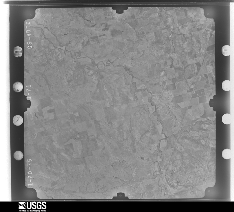
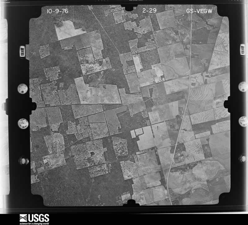
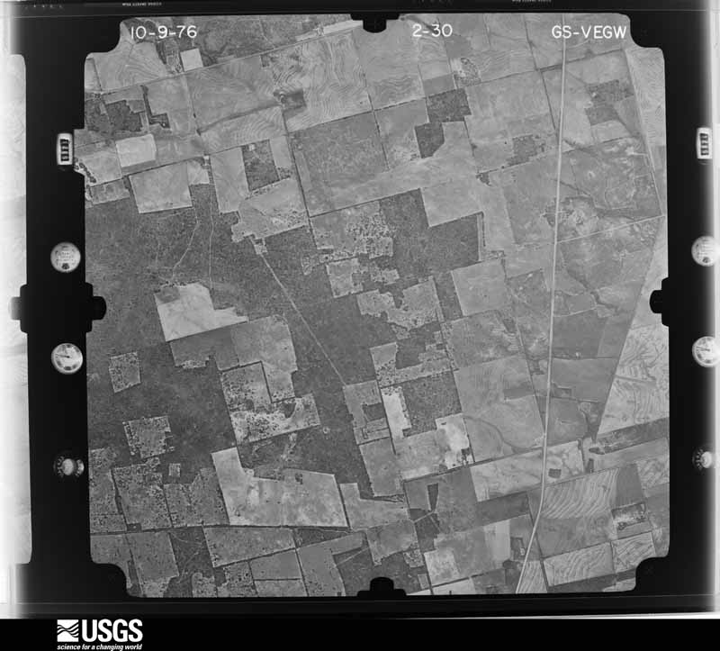
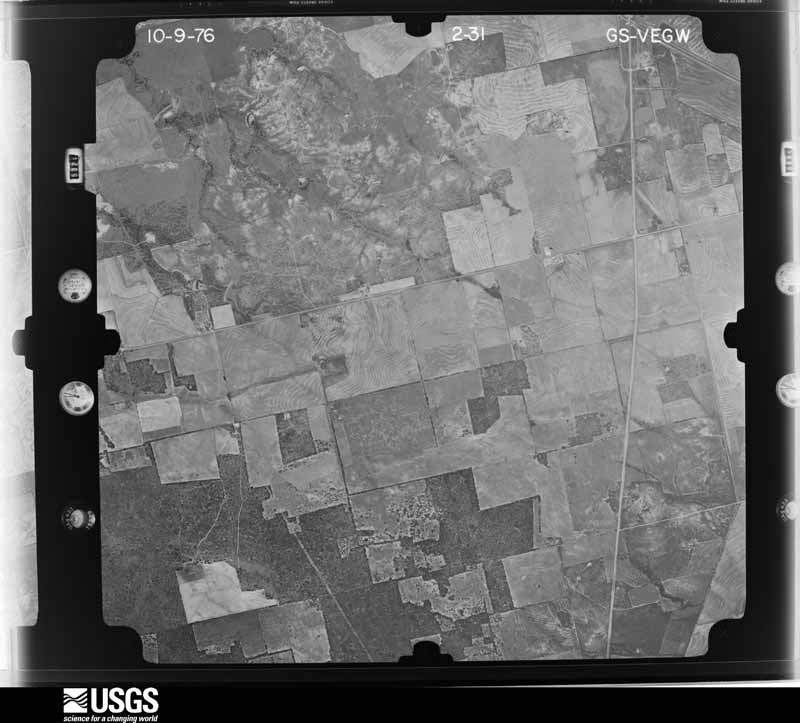
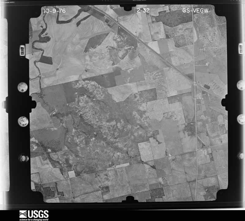
30 shownFlown by the U.S. Geological Survey between 1937 and 1989, the Aerial Photo Single Frames collection is the definitive mid-century view of the land: fields, roads and rivers as the camera saw them. The Survey holds 953 frames inside the rectangle that bounds this county; the 30 frames below were taken over the county itself, chosen across the decades of flights (at most four a year from that rectangle), so one flight cannot crowd out the rest. The full set is free to browse and download at EarthExplorer under the dataset Aerial Photo Single Frames.
Weather records
8 stations, 2 gagesThe thermometers that kept this county's weather, and the gages that measured the flow of its streams, as the federal records hold them. The extremes below are measured values from those records, not estimates.
- ROBY 1893 to 1975, hottest 43.9 C, coldest -22.2 C
- ROTAN 1924 to 2020, hottest 46.7 C, coldest -20.6 C
- MCCAULLEY NEAR SCS #3 1941 to 1943
- HAMLIN 4.1 NNW 2009 to 2010
- MCCAULLEY 1.8 NW 2009 to 2010
- SYLVESTER 0.2 SE 2012 to 2015
- HAMLIN 7.3 WSW 2015 to 2026
- ROTAN 0.3 S 2017 to 2018
- DMF Brazos Rv nr Rotan, TX 1949 to 1951
- Clear Fk Brazos Rv nr Roby, TX 1962 to 2026
The 1950 census, district by district
17 districtsWho lived here in 1950, one enumeration district at a time, as the Census Bureau described each district. Each row opens its official National Archives result, with Population Schedules and ED Maps available there.
- 76-1Justice Precinct 1: Roby city: Roby city - That part east of College
- 76-2Roby city - That part west of College
- 76-3Justice Precinct 1 - That part southeast of Cottonwood Creek, outside Roby city
- 76-4Justice Precinct 1 - That part northwest of Cottonwood Creek, outside Roby city
- 76-5Justice Precinct 2: Hamlin city - That part in Fisher County, comprising part of Justice Precinct 2 (Remainder of Hamlin city is in Justice Precinct 5, Jones County)
- 76-6Justice Precinct 2 - That part northwest of Panhandle and Santa Fe Railway, outside Hamlin city
- 76-7Justice Precinct 2 - That part southeast of Panhandle and Santa Fe Railway
- 76-8Justice Precinct 3: Rotan city: Rotan city - That part Bounded by City limits; City limits; 2nd, Elizabeth Ave., Johnston; City limits
- 76-9Rotan city - That part Bounded by Johnston; McKinley Ave., Sherman, Florence Ave.; City limits; City limits
- 76-10Rotan city - That part Bounded by Johnston, Elizabeth Ave., 2nd; City limits; City limits; Florence Ave., Sherman, McKinley Ave.
- 76-11Justice Precinct 3 - That part east of State Hwy. 70, outside Rotan city
- 76-12Justice Precinct 3 - That part west of State Hwy. 70, outside Rotan city
- 76-13Justice Precinct 4: Justice Precinct 4 - That part east of Cottonwood Creek and south of Panhandle and Santa Fe Railway
- 76-14Justice Precinct 4 - That part west of Cottonwood Creek and north of the Panhandle and Santa Fe Railway
- 76-15Justice Precinct 5
- 76-16Justice Precinct 6
- 76-17Justice Precinct 7
Wildfire, 2005 to 2020
398 firesEvery wildfire the federal occurrence database records inside this county: 398 of them, burning about 33,203 acres. 41 started naturally and 3 were recorded as arson. Each settlement page carries the fires within five miles of it.
| Reported cause | Fires |
|---|---|
| Missing data/not specified/undetermined | 151 |
| Debris and open burning | 83 |
| Equipment and vehicle use | 64 |
| Natural | 41 |
| Smoking | 28 |
| Power generation/transmission/distribution | 20 |
| Railroad operations and maintenance | 3 |
| Recreation and ceremony | 3 |
| Arson/incendiarism | 3 |
| Misuse of fire by a minor | 2 |
The five largest, by the area the report gives. None of them was recorded as arson.
| Date | Cause | Size | Reported by | Name on the report |
|---|---|---|---|---|
| 8 May 2011 | Missing data/not specified/undetermined | 14,513 acres | Texas A & M Forest Service | 611 GAS PLANT FIRE |
| 14 February 2011 | Missing data/not specified/undetermined | 2,650 acres | Texas A & M Forest Service | SOUTH FISHER CO. FIRE |
| 10 February 2009 | Missing data/not specified/undetermined | 2,500 acres | Texas A & M Forest Service | SOUTH COUNTY |
| 22 March 2010 | Equipment and vehicle use | 600 acres | Texas A & M Forest Service | JB CAVE |
| 11 July 2006 | Equipment and vehicle use | 600 acres | Texas A & M Forest Service | not named |
| 24 February 2011 | Missing data/not specified/undetermined | 550 acres | Texas A & M Forest Service | BUSBY FIRE |
| 17 March 2009 | Missing data/not specified/undetermined | 500 acres | Texas A & M Forest Service | 90305 |
| 7 June 2009 | Natural | 400 acres | Texas A & M Forest Service | GANNON FIRE(FISHER CO.) |
Every settlement page carries the fires within five miles of it - see the settlement index below.
Storms, 1955 to 2026
60 of 390 shownThe NOAA Storm Events Database holds 390 reports for this county, causing no deaths, 1 injury and about $8,153,530 in recorded property damage. Each settlement page carries the reports that name it.
| Kind of event | Reports |
|---|---|
| Hail | 207 |
| Thunderstorm Wind | 98 |
| Tornado | 50 |
| Flash Flood | 29 |
| Flood | 3 |
| Funnel Cloud | 3 |
The most serious of them, by death, then injury, then recorded damage. The accounts are quoted exactly as the forecast office filed them.
| When | Event | Place named | Harm | What the report says |
|---|---|---|---|---|
| May 1991 | Tornado (F1) | not stated | 1 hurt, $25,000 | no account filed |
| May 2002 | Hail | Rotan | $5,000,000 | Thunderstorms over Fisher County produced hail up to the size of golfballs. The hail caused damage to the public library as well as many homes in Rotan. |
| June 2009 | Hail | Roby | $700,000 | A supercell thunderstorm produced tennis ball to softball size hail in Roby. The combination of the strong winds and large hail resulted in damage that ranged from light to significant to approximately 100 homes. The Fisher County Sheriff's Office stated that 80 to 90 percent of the homes received damage to their roofs, siding and windows. Also, automobile windows were broken. The large hail lasted for 20 minutes. |
| June 2009 | Thunderstorm Wind | Roby | $500,000 | The combination of strong winds and very large hail damaged all north facing sides of buildings. |
| June 2003 | Thunderstorm Wind | Roby | $500,000 | Strong thunderstorm winds moved through the town of Roby and caused structural damage to homes. Car windows were broken by flying debris. Numerous trees and power lines were downed. |
| May 1994 | Tornado (F2) | Hobbs | $500,000 | no account filed |
| June 1997 | Thunderstorm Wind | Roby | $300,000 | Strong winds blew down telephone and power poles. Some of the utility poles were pulled right out of the ground. Livestock trailers were thrown around. |
| June 1999 | Thunderstorm Wind | Rotan | $250,000 | An apparent downburst tore through the community of Rotan, severely damaging several businesses. One automotive garage was completely destroyed when its sheet metal roof and walls were blown away by the high winds. Several other buildings along Main Street lost part or all of their roofs, with the debris damaging other buildings downwind. Two schools suffered roof damage, allowing rain water to leak into the classrooms. In addition, trees and fences throughout the town were knocked down, and many houses suffered broken windows. |
| May 2013 | Tornado (EF0) | Rotan | $100,000 | This tornado, reported by storm chasers, impacted the east side of Rotan as it crossed State Highway 92 and the nearby golf course. The twister broke several large tree limbs, knocked down power poles and power lines, uprooted a few trees and tore off some roof shingles from a few homes. The tornado lifted near the intersection of South Genevieve Avenue and State Highway 70. |
| May 2006 | Hail | Hobbs | $100,000 | The hail storm dropped hail stones from the size of golfball to baseball size. The large hail along with wind gusts to near 50 mph damaged several homes, vehicles, farm equipment, windows, windshields, skylights and roofs in the hardest hit towns of Sylvester and McCaulley. The hail also stripped leaves and bark off trees. The storm produced a northwest to southeast hail swath about two miles wide that extended from Hobbs and Rotan to Sylvester. |
| June 1997 | Thunderstorm Wind | Roby | $30,000 | Visibilities were reduced to zero in blowing dust. |
| June 1997 | Tornado (F1) | Roby | $25,000 | no account filed |
| March 1973 | Tornado (F1) | not stated | $25,000 | no account filed |
| June 2004 | Thunderstorm Wind | Hobbs | $10,000 | Power poles were knocked down by strong thunderstorm winds. |
| June 2004 | Thunderstorm Wind | Roby | $10,000 | Several trees blown over. |
| September 1999 | Thunderstorm Wind | Roby | $10,000 | Strong thunderstorm winds hit the Fisher County Airport on the evening of the 8th. A nearby garage suffered extensive damage when the roof collapsed, severely damaging the car parked inside. Also, a metal hangar located at the airport was partially destroyed. |
| June 1998 | Thunderstorm Wind | Roby | $7,000 | A roof was blown off a house |
| August 2005 | Flash Flood | Sylvester | $6,000 | Water covered roads near Sylvester for a few hours and one road had a culvert washed away. |
| May 2004 | Hail | Rotan | $6,000 | The large hail damaged an automobile's windshield. |
| May 2004 | Hail | Mc Caulley | $6,000 | This is an extension of the hail track from near Hamlin as the storm was back building to the southwest for a period of time. |
| September 1995 | Thunderstorm Wind | Roby | $5,000 | Dime-size hail was reported in Lorenzo at 1235 CST. An Abilene television station reported dime-size hail in Rotan and 60 to 70 mph winds in Roby. The strong winds caused some structural damage to a home. |
| March 1993 | Hail | Roby | $5,000 | Larger than golfball-size hail fell in central Fisher County. The hail caused damage to roofs and vehicles in Roby. |
| May 1993 | Thunderstorm Wind | Hamlin | $5,000 | Trees and power lines blown down by thunderstorm winds. |
| May 1993 | Thunderstorm Wind | Roscoe | $5,000 | Downburst winds damaged the roof of a house in southwestern Fisher County. |
| March 2007 | Tornado (EF0) | Eskota | $4,000 | This is a continuation of the tornado from Nolan County. This tornado continued to produce tree damage and broke a few power transmission poles as it dissipated near County Road 166. |
| June 1991 | Tornado (F1) | not stated | $2,500 | no account filed |
| May 1964 | Tornado (F0) | not stated | $2,500 | no account filed |
| May 1955 | Tornado (F1) | not stated | $2,500 | no account filed |
| July 2009 | Thunderstorm Wind | Roby | $2,000 | Strong thunderstorm winds from 65 to 75 mph damaged a shed used to house a recreational vehicle and large tree limbs of 12 inches in diameter. |
| May 2002 | Hail | Busby | $2,000 | A patrol car along the Nolan and Fisher county line ran into golfball size hail that did considerable damage to the car. |
| September 2002 | Thunderstorm Wind | Rotan | $2,000 | Strong thunderstorm winds blew the roof off of a building. |
| September 1995 | Thunderstorm Wind | Sylvester | $2,000 | High winds knocked down three utility poles on the Fisher-JonesCounty line. |
| May 1998 | Thunderstorm Wind | Roby | $1,000 | A roof was blown off a barn |
| April 1995 | Hail | Sylvester | $1,000 | Severe thunderstorms produced dime-size hail in Fisher and Stonewall Counties early on the 10th. |
| February 2001 | Thunderstorm Wind | Roby | $500 | High winds during a thunderstorm ripped large tree limbs off area trees. |
| May 1998 | Thunderstorm Wind | Rotan | $500 | Small trees and outbuildings blown over |
| March 1993 | Hail | Sylvester | $500 | Larger than golfball-size hail fell in central Fisher County. The hail caused damage to roofs and vehicles in Roby. |
| May 1991 | Tornado (F0) | not stated | $250 | no account filed |
| May 1964 | Tornado (F1) | not stated | $250 | no account filed |
| April 1984 | Tornado (F0) | not stated | $30 | no account filed |
| April 2026 | Hail | Rotan | - | We received a call from an individual in Rotan, TX reporting golf ball sized hail in Rotan. He was located approximately one block west of the park in town. |
| April 2026 | Hail | Rotan | - | Broadcast media relayed a photo of golf ball size hail from a viewer in Rotan. Time of report estimated from radar. |
| April 2025 | Thunderstorm Wind | Rotan | - | A mesonet station reported a wind gust of 71 mph 5 miles west of Rotan. |
| April 2025 | Hail | Rotan | - | Public reported half dollar size hail. |
| June 2025 | Thunderstorm Wind | Roby | - | Law Enforcement reported a Hog Farm east of Roby had damage to their property and multiple powerlines down along the road. |
| June 2025 | Thunderstorm Wind | Rotan | - | A mesonet observation station reported a 71 mph wind gust. |
| June 2025 | Hail | North Roby | - | Public reported baseball size hail 6 miles east of Rotan. |
| June 2025 | Hail | Rotan | - | Public reported quarter size hail. |
| June 2025 | Hail | Sylvester | - | A trained spotter reported ping pong ball size hail. |
| June 2025 | Thunderstorm Wind | Rotan | - | A mesonet observation station reported a wind gust of 81 mph 5 miles west of Rotan. |
| June 2025 | Thunderstorm Wind | Rotan | - | The National Weather Service conducted a storm survey after a strong supercell thunderstorm moved southeast across Fisher |County, with a swath of very strong winds that pushed through the |northern and central portions of the county. Three broken steel |transmission poles were observed northeast of Rotan, a roof of a |degraded carport was blown off in Rotan, a couple small barns or |outbuildings were heavily damaged east of Roby and in Sylvester, |tree damage was widespread, and broken wood power poles were |observed as well. The estimated peak wind speed was 100 mph and |the distance of the wind damage was around 18 miles. |
| June 2025 | Flash Flood | Celotex | - | Law enforcement reported road closed due to down powerlines and flooding on FM 57 between U.S. Highway 180 and U.S. Highway 83. |
| June 2025 | Thunderstorm Wind | Mc Caulley | - | Law Enforcement reported multiple powerlines down along Farm to Market Road 57. |
| May 2024 | Hail | Celotex | - | Law Enforcement reported baseball size hail 4 miles west of Hitson. |
| May 2024 | Hail | Sardis | - | Law enforcement reported half dollar size hail. |
| May 2024 | Thunderstorm Wind | Rotan | - | A mesonet observation station measured a 63 mph wind gust. |
| April 2024 | Hail | Bernecker | - | A storm chaser reported 2 inch diameter hail. |
| April 2024 | Hail | Claytonville | - | Public reported golf ball size hail. |
| April 2024 | Hail | Rotan | - | Public reported quarter size hail. |
| April 2024 | Hail | Rotan | - | Public reported golf ball size hail. |
Mines and quarries
11 recordedThe Survey's mineral resources record lists 11 workings inside this county. 9 still produce and 2 are closed or unrecorded. Each settlement page carries the workings within five miles of it.
| Commodity | Workings |
|---|---|
| Gypsum-Anhydrite | 4 |
| Clay | 3 |
| Sand and Gravel, Construction | 2 |
| Strontium | 1 |
| Copper | 1 |
The least common of them first, because a county's hundredth gravel pit says nothing its first ten did not.
| Where | Site | Commodity | Status | Recorded |
|---|---|---|---|---|
| Martin Mine | Strontium | Past Producer | Celestite | |
| Unknown | Copper | Occurrence | 1970 | |
| Big Rough Sand and Gravel Operation | Sand and Gravel, Construction | Producer | ||
| Big Rough Sand and Gravel Snyder Op | Sand and Gravel, Construction | Producer | ||
| Lone Star Industries Clay Pit | Clay | Producer | ||
| Southwestern Brick Mason Pit | Clay | Producer | ||
| Unnamed Pit | Clay | Producer | Sedimentary | |
| Hamlin Plant | Gypsum-Anhydrite | Producer | ||
| Jim Walter Quarry | Gypsum-Anhydrite | Producer | ||
| Longworth Gypsum Plant | Gypsum-Anhydrite | Producer | ||
| Rotan Gypsum Plant | Gypsum-Anhydrite | Producer |
Every populated place in the county
23Named settlements recorded in the Geographic Names Information System, each with the topographic sheets covering it. Villages, hamlets and abandoned places alike. Each is shown with the nearest named watercourse or landform and the survey quadrangle it falls on.
-
Bernecker
Roby census division · 79545 · Near Round Mountain · Bernecker quadrangle
8 sheets, 1954 to 1985
-
Eskota
Roby census division · 79561 · Near Horse Hollow · Raven Creek South quadrangle
13 sheets, 1893 to 1985
-
North Roby
Rotan census division · 79543 · On Alkali Creek · Rotan quadrangle
15 sheets, 1893 to 1985
-
Pledger
McCaulley census division · 79534 · On Sandy Creek · Royston quadrangle
15 sheets, 1893 to 1985
-
Reynolds
McCaulley census division · 79520 · Near Peter Hill · McCaulley quadrangle
13 sheets, 1893 to 1985
-
Sylvester
Roby census division · 79560 · On Plum Creek · Longworth quadrangle
12 sheets, 1893 to 1985
Provenance
- Topographic sheets. USGS Historical Topographic Map Collection, county index, measured from the bulk metadata.
- Fire insurance maps. Library of Congress Sanborn collection, faceted to this county.
- Photographs. Each place queried individually against the Library of Congress Prints and Photographs search.
- Wildfire. Short, Karen C. 2022. Spatial wildfire occurrence data for the United States, 1992-2020 [FPA_FOD_20221014]. 6th Edition. Fort Collins, CO: Forest Service Research Data Archive. https://doi.org/10.2737/RDS-2013-0009.6 Collected with United States Government funding and usable without additional permissions or fees.
- Mines and quarries. USGS Mineral Resources Data System (MRDS) https://mrdata.usgs.gov/mrds/ A work of the United States government, no copyright under 17 U.S.C. 105.
- Storms. NOAA National Centers for Environmental Information, Storm Events Database https://www.ncei.noaa.gov/stormevents/ A work of the United States government, no copyright under 17 U.S.C. 105. Narratives are quoted verbatim from the National Weather Service report and are not edited or summarised.