 Block
BlockFrom the record
4 National Register listings published here.
Sources: the National Register database, National Park Service
31 topographic sheets cover 16 settlements here, and 4 properties are on the National Register of Historic Places.
4 National Register listings published here.
Sources: the National Register database, National Park Service
Every property in this county listed on the National Register of Historic Places, with the year it was listed and the federal nomination document.
| Photograph | Property | Type | Listed | Reference |
|---|---|---|---|---|
 | Edwards, M.L. & Co. Building | building | 2018 | 100002840 |
 | Franklin County Courthouse and Jail | building | 2006 | 05001542 |
| Mount Vernon Downtown Historic District | district | 2018 | 100003140 | |
| Rogers-Drummond House | building | 1980 | 80004120 |
Drawn when these were printed as single large sheets: the town seen from the air, and the county divided into its farms with every owner named. Each opens the original at the Library of Congress.


Selected from the Digital Public Library of America's 1 image records catalogued for this county. Every one shown here carries a public-domain status or a licence that permits reuse on a site that carries advertising; non-commercial, share-alike and restricted images are excluded. The selection is spread across the county's towns (at most eight per town), so no single institution's bulk upload crowds out the rest. Each opens the holding library's record, and the complete set at the Digital Public Library of America is one click away.

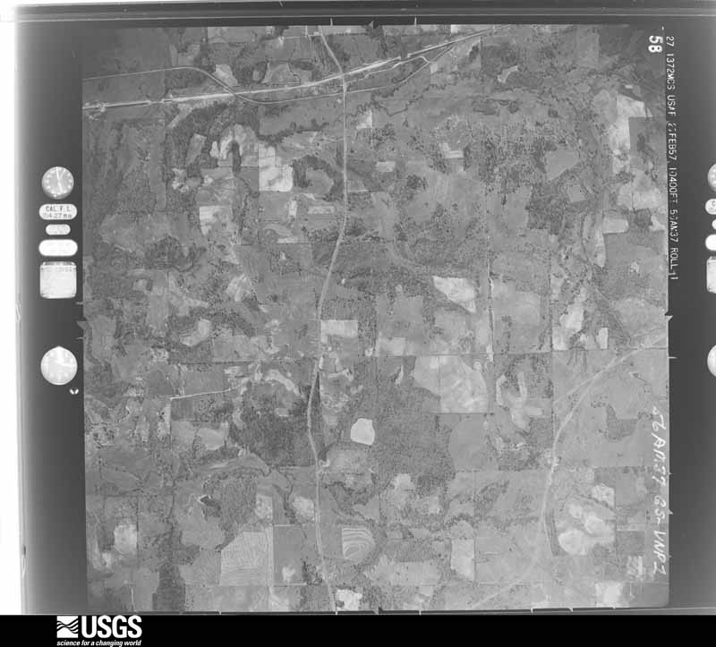
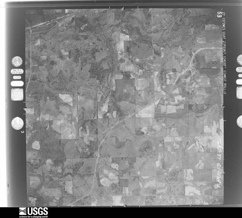
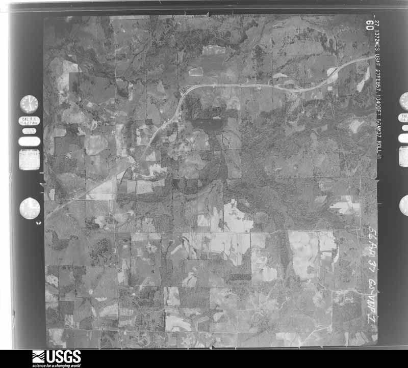
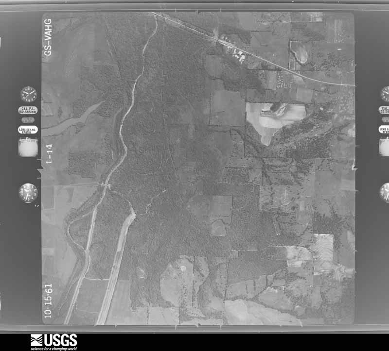
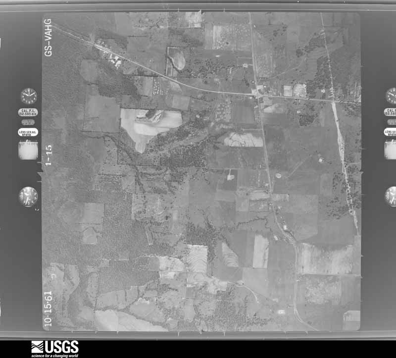
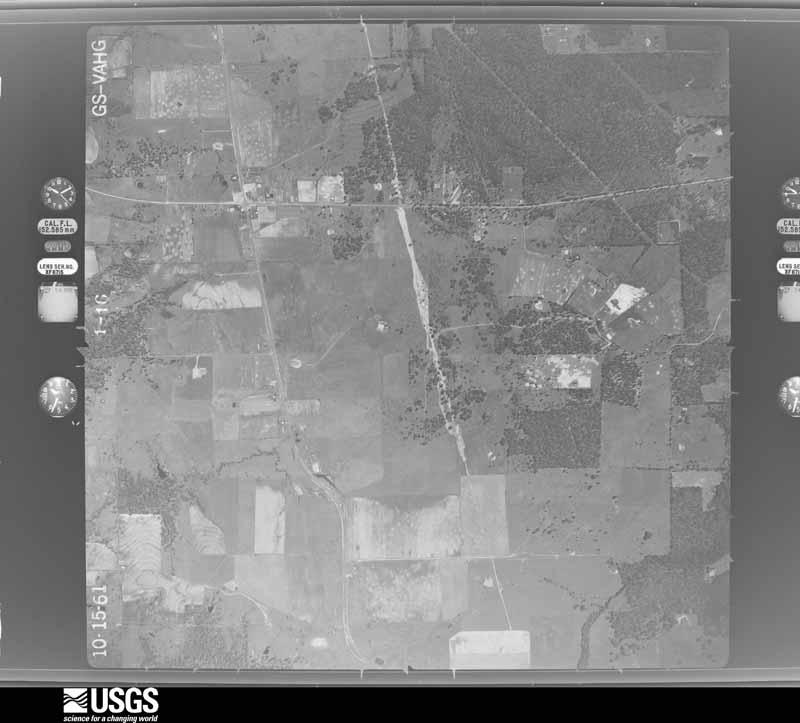
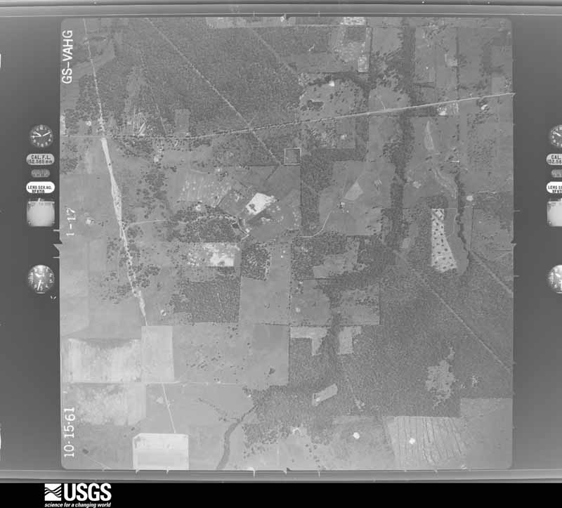
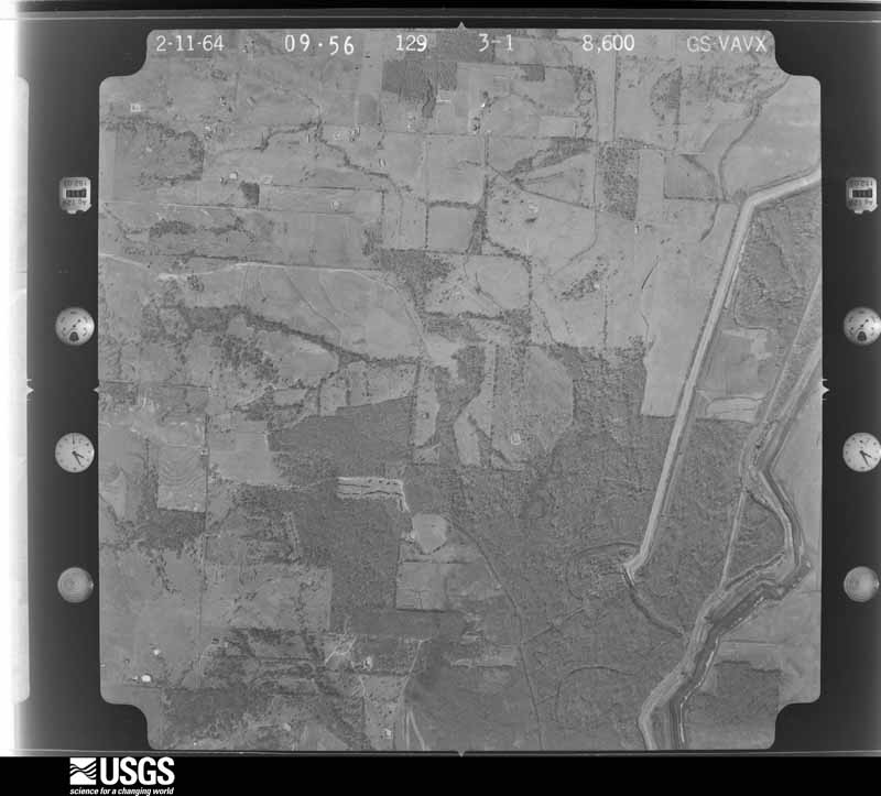
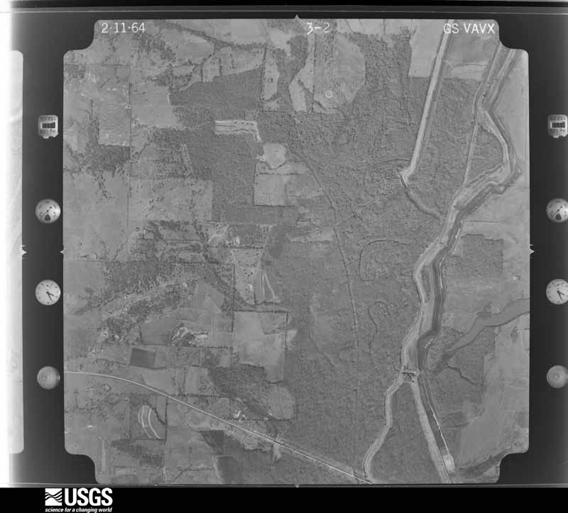
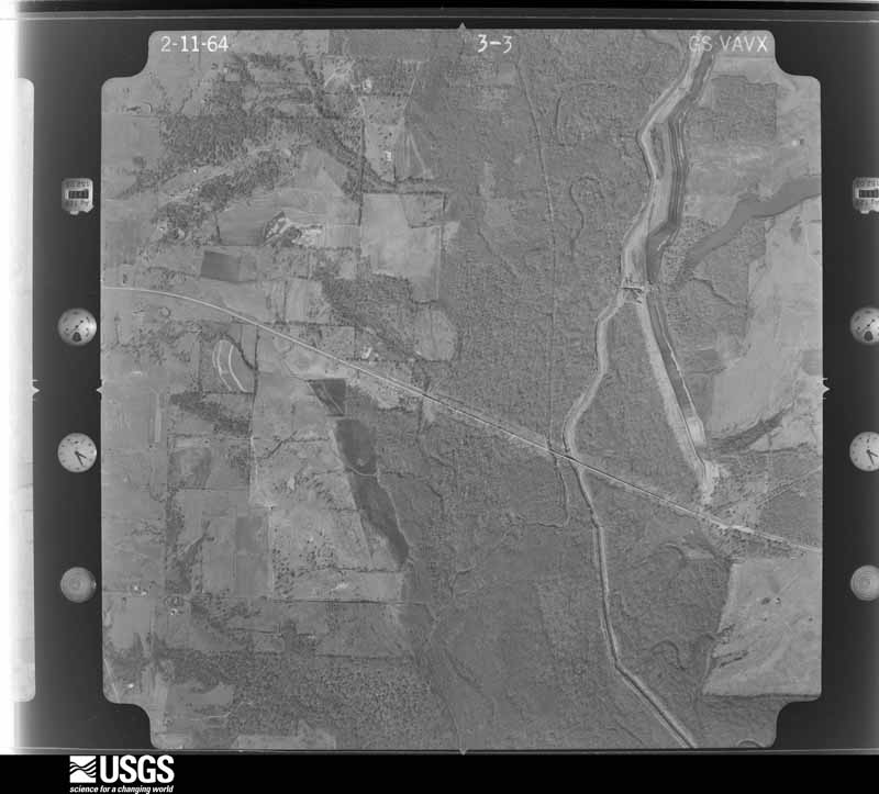
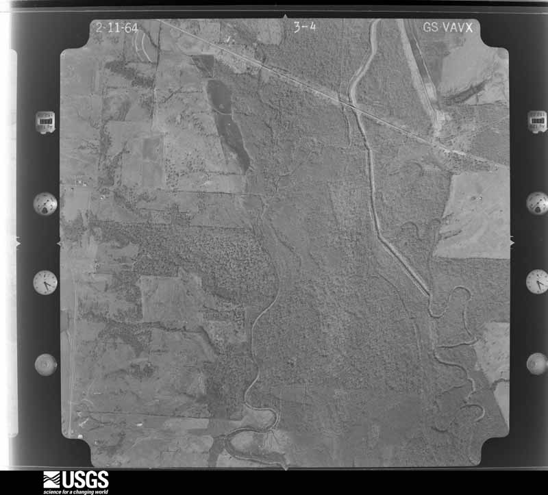
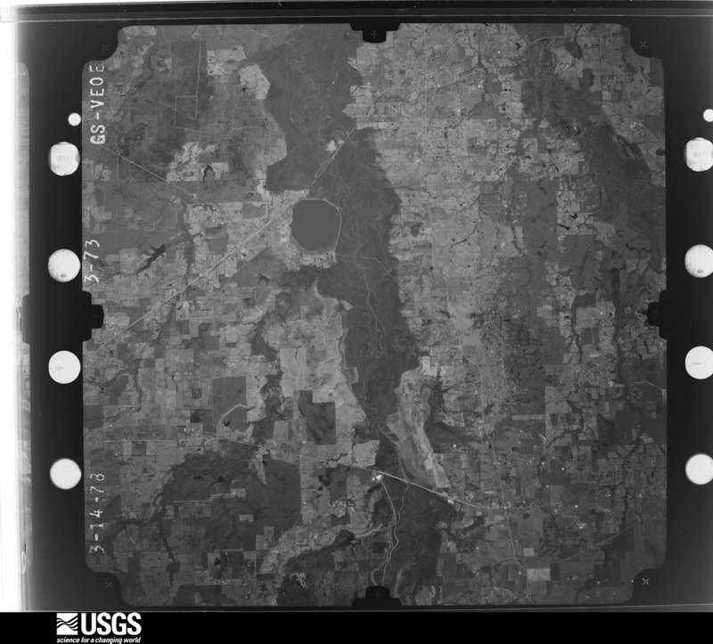
Flown by the U.S. Geological Survey between 1937 and 1989, the Aerial Photo Single Frames collection is the definitive mid-century view of the land: fields, roads and rivers as the camera saw them. The Survey holds 443 frames inside the rectangle that bounds this county; the 24 frames below were taken over the county itself, chosen across the decades of flights (at most four a year from that rectangle), so one flight cannot crowd out the rest. The full set is free to browse and download at EarthExplorer under the dataset Aerial Photo Single Frames.












The thermometers that kept this county's weather, and the gages that measured the flow of its streams, as the federal records hold them. The extremes below are measured values from those records, not estimates.
Who lived here in 1950, one enumeration district at a time, as the Census Bureau described each district. Each row opens its official National Archives result, with Population Schedules and ED Maps available there.
Every wildfire the federal occurrence database records inside this county: 366 of them, burning about 5,024 acres. 11 started naturally and 15 were recorded as arson. Each settlement page carries the fires within five miles of it.
| Reported cause | Fires |
|---|---|
| Debris and open burning | 214 |
| Missing data/not specified/undetermined | 76 |
| Equipment and vehicle use | 33 |
| Arson/incendiarism | 15 |
| Natural | 11 |
| Power generation/transmission/distribution | 5 |
| Recreation and ceremony | 4 |
| Smoking | 3 |
| Fireworks | 2 |
| Railroad operations and maintenance | 1 |
| Other causes | 1 |
| Misuse of fire by a minor | 1 |
The five largest, by the area the report gives. Two of them were set deliberately.
| Date | Cause | Size | Reported by | Name on the report |
|---|---|---|---|---|
| 4 August 2011 | Debris and open burning | 661 acres | Texas A & M Forest Service | MIDWAY CEMETARY |
| 20 December 2004 | Missing data/not specified/undetermined | 400 acres | Texas A & M Forest Service | LINDEN - 209 |
| 12 August 2011 | Arson/incendiarism | 354 acres | Texas A & M Forest Service | LINDEN - 404 |
| 23 September 2005 | Smoking | 230 acres | Texas A & M Forest Service | LINDEN - 390 |
| 28 August 2000 | Equipment and vehicle use | 165 acres | Texas A & M Forest Service | LINDEN - 307 |
| 8 February 1996 | Debris and open burning | 115 acres | Texas A & M Forest Service | not named |
| 1 July 1998 | Arson/incendiarism | 110 acres | Texas A & M Forest Service | not named |
| 2 April 1997 | Debris and open burning | 110 acres | Texas A & M Forest Service | not named |
Every settlement page carries the fires within five miles of it - see the settlement index below.
The NOAA Storm Events Database holds 253 reports for this county, causing no deaths, 3 injuries and about $3,848,600 in recorded property damage. Each settlement page carries the reports that name it.
| Kind of event | Reports |
|---|---|
| Thunderstorm Wind | 114 |
| Hail | 96 |
| Flash Flood | 21 |
| Tornado | 17 |
| Flood | 3 |
| Funnel Cloud | 1 |
| Lightning | 1 |
The most serious of them, by death, then injury, then recorded damage. The accounts are quoted exactly as the forecast office filed them.
| When | Event | Place named | Harm | What the report says |
|---|---|---|---|---|
| December 2015 | Tornado (EF0) | Cypress | 2 hurt, $2,000,000 | A NWS Storm Survey team concluded that the damage in Franklin County, Texas west of Purley community was consistent with that of tornado damage. The EF-2 tornado first touched down near County Road 3250 and traveled in a northerly direction, crossing County Road 2376 before lifting after crossing County Road 3055. The worst of the damage was noted near the intersection of County Road 3170 and County Road 2376. Numerous trees were snapped and/or uprooted along the path of this tornado. Around 20 structures suffered damage including 4 mobile homes that were completely destroyed. Four of the 20 homes suffered major damage. Two people were injured in one of the mobile homes. |
| March 1961 | Tornado (F3) | not stated | 1 hurt, $25,000 | no account filed |
| November 1993 | Thunderstorm Wind | Greenwood to | $500,000 | Downburst winds left a damage path approximately nine miles long from one mile east of Greenwood to one mile northwest of Winnfield. There was damage to two dairy barns, with two milk cows killed. Numerous trees and power lines were downed, and trees were blown onto houses. Damage was estimated at $100,000. |
| March 2025 | Tornado (EF1) | Cypress | $250,000 | This EF1 tornado with estimated maximum winds near 104 mph developed within a QLCS and began along Highway 37 just north of Winnsboro in southwest Franklin County where it snapped and uprooted several trees. The tornado continued east along Farm-to-Market Road 3357, County Road 3430, and County Road 4340 and continued snapping and uprooting numerous trees as it crossed County Road 4335, County Road 4345, and began to move along FM Road 1448. Tree damage became more extensive as it approached the intersection of FM Road 1448 and FM Road 115. At this location, most of the metal roof panels were removed from a|South Franklin Fire Department building. Farther east, two homes in the New Hope community were damaged. One house lost almost all of the upwind portion of its roof when the section overhanging a porch was uplifted. A manufactured home also lost a portion of its roof, causing part of a wall failure. Two residents were in this part of the manufactured home at the time but were uninjured. Metal roof panels on a neighboring outbuilding were also peeled back and twisted. Farther north, a church on County Road|4395 lost some of its roof. More softwood trees were snapped and uprooted along County Road 4396 before the tornado moved over Lake Bob Sandlin and crossed into Camp County. The tornado tracked just over 10 miles in southern Franklin County. |
| October 2014 | Thunderstorm Wind | Mt Vernon | $250,000 | A severe squall line moved east into Franklin County, Texas during the early morning hours of October 13th. This line of storms produced a 70-80mph wind gust across the south side of Mount Vernon, Texas. A storm National Weather Service Storm Survey crew determined that the damage was consistent with that of a downburst. Damage consisted of significant loss of a roof of a poorly constructed small business and a partial collapse of the exterior walls. A nearby bank also experienced minor roof damage. Two 18 wheelers were overturned and there was damage to a Cefco Gas Station at the intersection of Hwy. 37 and Interstate 30. |
| April 2011 | Thunderstorm Wind | Macon | $250,000 | Numerous trees downed on homes near Lake Cypress Springs with several roofs damaged. |
| May 2019 | Tornado (EF2) | Scroggins | $100,000 | This is a continuation of the Wood County EF-2 tornado. This tornado crossed Highway 115 and County Road 4426 in the Scroggins community, where numerous trees were snapped or uprooted, a tree fell through a mobile home, and another tree had fallen on a home. The tornado continued northeast crossing County Road 4410 where a few trees were snapped or uprooted, and a metal outbuilding suffered minor damage. The tornado then moved across Farm to Market Road 1519 and along the west side of Lake Bob Sandlin where a few additional trees were snapped or uprooted, before lifting along the lake just off of County Road 4397. Throughout its path across extreme Southeast Franklin County, the maximum estimated winds had weakened to near 105 mph. |
| March 2002 | Thunderstorm Wind | Mt Vernon | $100,000 | no account filed |
| April 1999 | Thunderstorm Wind | Mt Vernon | $60,000 | Winds damaged a doctors office on Hwy 37 and an 18 wheeler was blown over on I-30. |
| April 2014 | Thunderstorm Wind | Mt Vernon | $50,000 | The NWS conducted a storm survey from the storms that moved into Franklin County during the evening hours of April 3rd. A supercell thunderstorm moved out of Hopkins and Delta Counties in North Central Texas and moved into Franklin, Titus and Bowie Counties in Northeast Texas. The damage associated with this supercell thunderstorm was consistent with straight line winds of 70-80 mph from a rear flank downdraft with the supercell eventually transitioning into a bow echo. This storm downed trees, caused considerable damage to outbuildings and removed shingles from several roofs. |
| June 2004 | Thunderstorm Wind | Mt Vernon | $50,000 | 1 fatality was reported near Hagansport when a tree fell on top of a mobile home on CR 1040. |
| June 1997 | Thunderstorm Wind | Mt Vernon | $50,000 | A line of severe thunderstorms developed across north central Texas during the afternoon and moved into Franklin County from the west producing considerable wind damage to trees and power lines. Some homes and businesses were heavily damaged from fallen trees. |
| May 2020 | Tornado (EF0) | Fairview | $25,000 | An EF-0 tornado with estimated maximum winds around 85 mph briefly touched down along County Road NW 1019 where it ripped off portions of a roof of a metal outbuilding. It then partially damaged the roof of a single family home and tore off much of the roof of a garage as it downed small and large tree limbs and uprooted a tree. The tornado moved northwest and crossed County Road NW 1019 and then uprooted a few more trees before it lifted in a field. |
| June 2004 | Thunderstorm Wind | Mt Vernon | $25,000 | Several trees downed throughout the county including one tree on a home near Lake Cypress Springs in the Hickory Hills Subdivision. |
| February 2012 | Lightning | Hopewell | $20,000 | A storage building on FM. 21 near CR. 4145 was struck by lightning and engulfed in flames. |
| April 1999 | Thunderstorm Wind | Mt Vernon | $20,000 | Trees and powerlines toppled. |
| December 2008 | Tornado (EF0) | New Hope | $15,000 | An EF0 tornado with winds of approximately 65 mph occurred on the east side of CR 4315 near a cemetary. Several large trees and branches were downed, one on a home. A large metal roof was also peeled from a barn|and insulation was thrown into nearby trees. |
| May 2008 | Tornado (EF1) | Winnsboro | $10,000 | An EF1 tornado track started across the northern portion of the town of Winnsboro, Texas along Hwy 11 and tracks eastward crossing Greenwood Street where a mobile home sustained minor damage. The tornado appears to have been a bookend tornado which formed along the northern end of a significant straight line wind event which affected more of the city of Winnsboro, Texas itself. |
| May 2008 | Thunderstorm Wind | Mt Vernon | $10,000 | A few trees were downed in town. Power poles were snapped near a restaurant on the south service road at the 146 exit off Interstate 30. The storm also damaged the roof at the Mount Vernon Floors and More. Roof damage was also reported at the local Dairy Queen. |
| September 1996 | Thunderstorm Wind | Mt Vernon | $10,000 | no account filed |
| August 2013 | Thunderstorm Wind | Purley | $5,000 | Trees were downed on Hwy. 37 and FM. 900 near Purley, Texas. There was also a report of minor roof damage from thunderstorm wind gusts near Purley, Texas. |
| July 2011 | Thunderstorm Wind | Mt Vernon | $5,000 | Trees were downed along CR. 3310. Portions of a tin roof were removed from a building in town. |
| July 2005 | Flash Flood | Mt Vernon | $5,000 | Numerous city streets were flooded. |
| November 1994 | Thunderstorm Wind | Scroggins | $5,000 | Trees were blown onto a county road between Scroggins and Clearwater. |
| June 2009 | Thunderstorm Wind | Cypress | $3,000 | Several trees were snapped and uprooted on either side of Hwy. 37. A workshop had its metal roof blown off. |
| August 1995 | Thunderstorm Wind | Mount Vernon | $2,000 | Power lines were blown down by high winds. |
| April 1995 | Thunderstorm Wind | Mount Vernon | $2,000 | Tree limbs and power lines were blown down by high winds. |
| October 1993 | Thunderstorm Wind | Purley | $500 | A tree was blown down onto a road. |
| January 1993 | Hail | not stated | $500 | Three quarter inch hail was reported from various sections across the county. Extensive tree damage occurred from high thunderstorm wind. |
| January 1993 | Thunderstorm Wind | not stated | $500 | Three quarter inch hail was reported from various sections across the county. Extensive tree damage occurred from high thunderstorm wind. |
| April 2011 | Thunderstorm Wind | Cypress | $100 | A large tree was uprooted in a front yard...along with 3 other trees downed in Mount Vernon, Texas. Shingles were also off a home along County Road 3330. A large tree was also downed on Hwy. 37. |
| April 2026 | Hail | Mt Vernon | - | Hail ranging from dime to quarter size reported in Mount Vernon. |
| April 2026 | Thunderstorm Wind | Mt Vernon | - | Trees uprooted along U.S. Highway 67 east of Mount Vernon. |
| March 2025 | Thunderstorm Wind | Mt Vernon | - | Report from Mping. |
| March 2025 | Thunderstorm Wind | Mt Vernon | - | Report from Mping. |
| May 2025 | Hail | Macon | - | Penny size hail fell in the Lake Cypress Springs and Lake Bob Sandlin areas. |
| April 2025 | Flood | Mt Vernon | - | Multiple creeks overflowed their banks near Mount Vernon. |
| January 2024 | Hail | Mt Vernon | - | Quarter size hail reported in Mount Vernon. |
| June 2024 | Thunderstorm Wind | Mt Vernon | - | Several trees downed just east of Mount Vernon. |
| April 2024 | Hail | Mt Vernon | - | Penny size hail reported in Mount Vernon. |
| April 2024 | Thunderstorm Wind | Cypress | - | Power poles downed across southern portions of Franklin County. |
| April 2024 | Thunderstorm Wind | Cypress | - | Trees downed on two structures between Mount Vernon and Winnsboro. |
| April 2024 | Flash Flood | Winnsboro | - | High water reported on several county roads across the southern half of Franklin County. |
| May 2024 | Thunderstorm Wind | Winnsboro | - | Trees downed on FM Road 1448. |
| May 2024 | Thunderstorm Wind | Purley | - | Trees and power lines downed near the intersection of FM Road 115 and FM Road 900. |
| May 2024 | Hail | Winnsboro | - | Quarter size hail reported on FM Road 1448 near downtown Winnsboro. |
| March 2023 | Tornado (EF0) | Fairview | - | An EF-0 tornado was documented by storm chasers touching down between Mount Vernon and Hagansport. The damage survey team found that this tornado produced estimated maximum winds near 80 mph which downed tree limbs of several trees along its 5+ mile long path. |
| June 2023 | Hail | Mt Vernon | - | Quarter size hail reported in Mount Vernon. |
| June 2023 | Thunderstorm Wind | Scroggins | - | Trees downed near Scroggins. |
| June 2023 | Thunderstorm Wind | Winnsboro | - | NWS survey estimated damaging straight-line winds generally ranging from 75 to 95 mph that moved across the northern and eastern parts of Winnsboro in a swath up to 725 yards wide and over 4 miles long. The wind swath downed many hundreds of trees and also produced direct and significant roof damage to a handful of structures. One of these damaged structures warranted a peak wind damage estimate up to 104 mph. |
| May 2022 | Thunderstorm Wind | Mt Vernon | - | Numerous trees and tree limbs were downed all over Franklin County. |
| May 2022 | Thunderstorm Wind | Cypress | - | Multiple trees were downed across Naus Drive along the north shore of Lake Cypress Springs. |
| May 2022 | Thunderstorm Wind | Cypress | - | A roof was partially removed from a home near the intersection of Highway 37 and County Road 3330. |
| April 2022 | Thunderstorm Wind | Mt Vernon | - | Several trees were downed just southwest of Mount Vernon. |
| April 2021 | Hail | Hagansport | - | Penny size hail was reported near the Hagansport community. Report from mPING. |
| April 2021 | Hail | Hagansport | - | A picture was posted to social media of quarter size hail that fell several miles west-southwest of Talco. |
| May 2021 | Hail | Burley | - | Ping pong ball size hail fell in the Purley community. |
| May 2021 | Hail | New Hope | - | Half dollar size hail fell near Lake Cypress Springs. |
| May 2021 | Hail | Mt Vernon | - | Quarter size hail fell on the north side of Mount Vernon. Report from mPING. |
| May 2021 | Thunderstorm Wind | Mt Vernon | - | Numerous trees were downed across the western and southern sections of Franklin County. |
The Survey's mineral resources record lists 2 workings inside this county. All of them still produce. Each settlement page carries the workings within five miles of it.
| Commodity | Workings |
|---|---|
| Sulfur | 2 |
The least common of them first, because a county's hundredth gravel pit says nothing its first ten did not.
| Where | Site | Commodity | Status | Recorded |
|---|---|---|---|---|
| New Hope Sulfur Plant | Sulfur | Producer | ||
| Teas Sulfur Plant | Sulfur | Producer |
Named settlements recorded in the Geographic Names Information System, each with the topographic sheets covering it. Villages, hamlets and abandoned places alike. Each is shown with the nearest named watercourse or landform and the survey quadrangle it falls on.
Mount Vernon census division · 75494 · On Little Cypress Creek · Purley quadrangle
9 sheets, 1953 to 1991
Winnsboro census division · 75480 · On Indian Creek · New Hope quadrangle
9 sheets, 1953 to 1991
Winnsboro census division · 75494 · On Angel Branch · Winnsboro quadrangle
13 sheets, 1956 to 1991
Winnsboro census division · 75480 · On Bullard Branch · Newsome quadrangle
13 sheets, 1956 to 1991
Mount Vernon census division · 75457 · On Huggins Creek · Saltillo quadrangle
8 sheets, 1953 to 1991