 Block
BlockFrom the record
1 National Register listing published here.
Sources: the National Register database, National Park Service
55 topographic sheets cover 26 settlements here, and 1 property is on the National Register of Historic Places.
1 National Register listing published here.
Sources: the National Register database, National Park Service
Every property in this county listed on the National Register of Historic Places, with the year it was listed and the federal nomination document.
| Photograph | Property | Type | Listed | Reference |
|---|---|---|---|---|
 | Hamilton County Courthouse | building | 1980 | 80004125 |
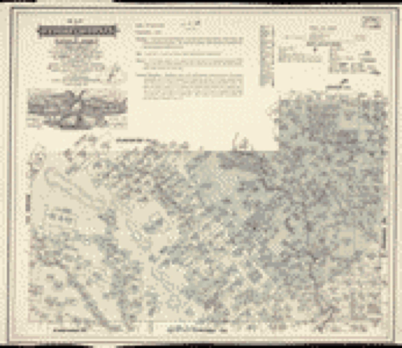
Drawn when these were printed as single large sheets: the town seen from the air, and the county divided into its farms with every owner named. Each opens the original at the Library of Congress.
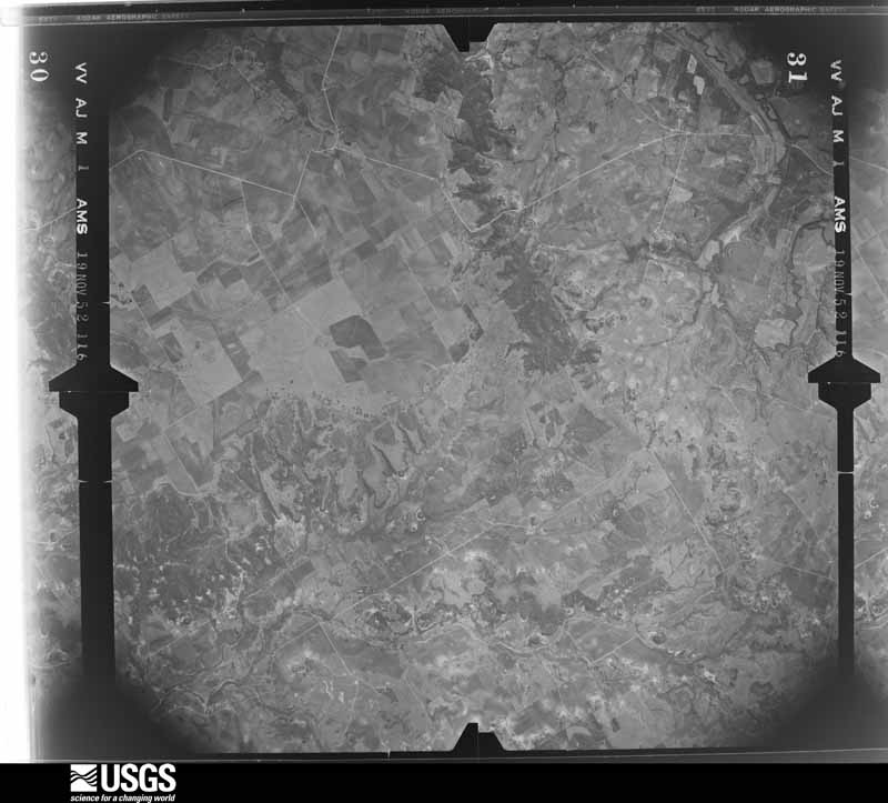
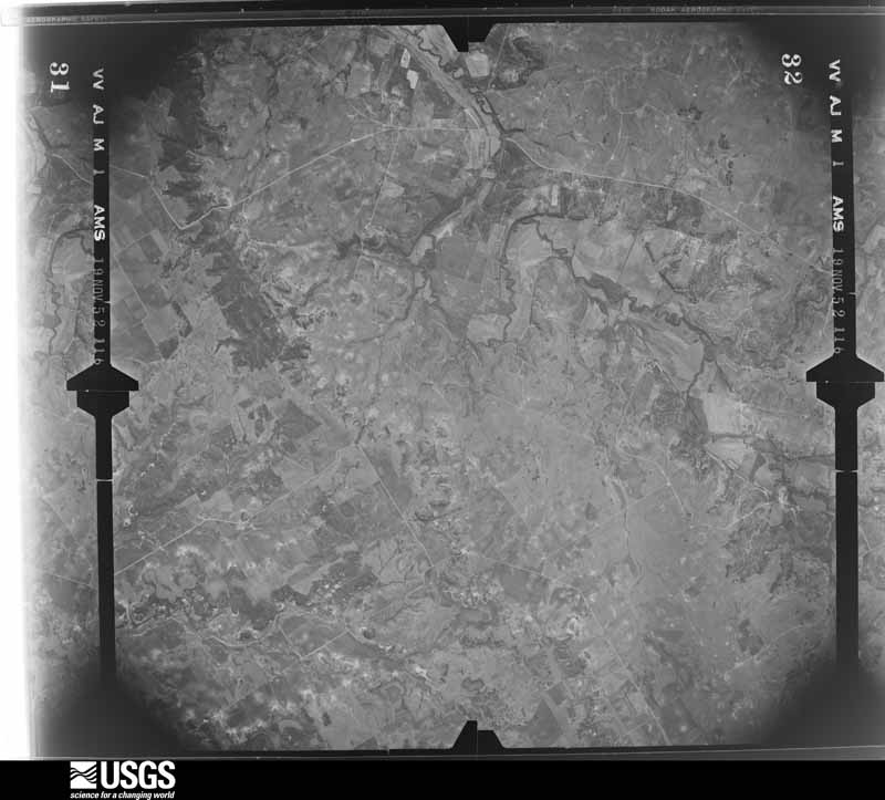
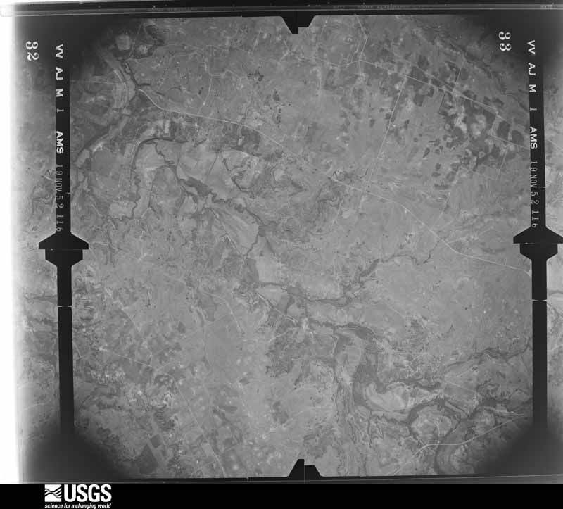
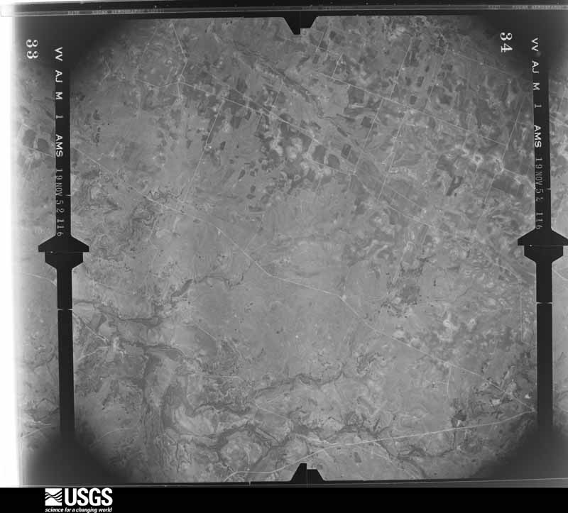
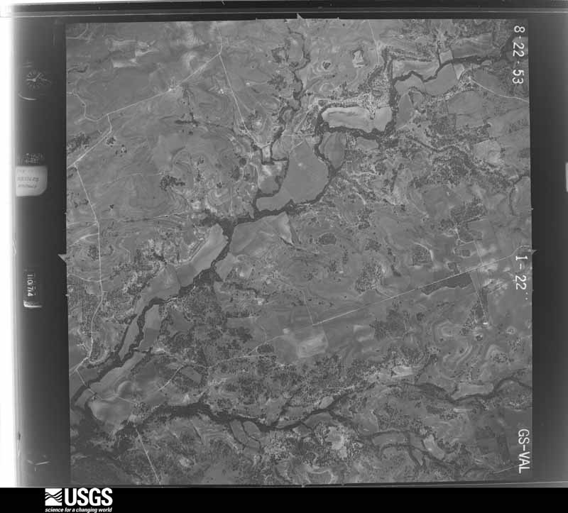
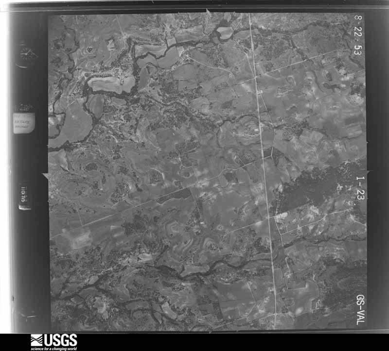
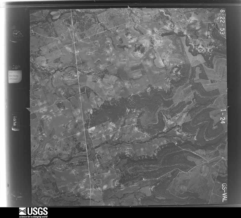
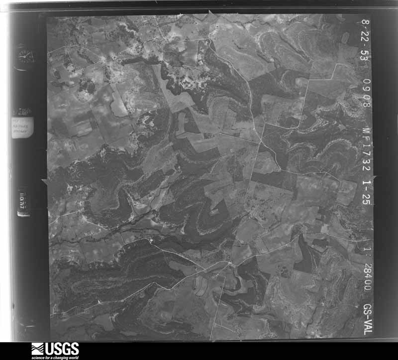
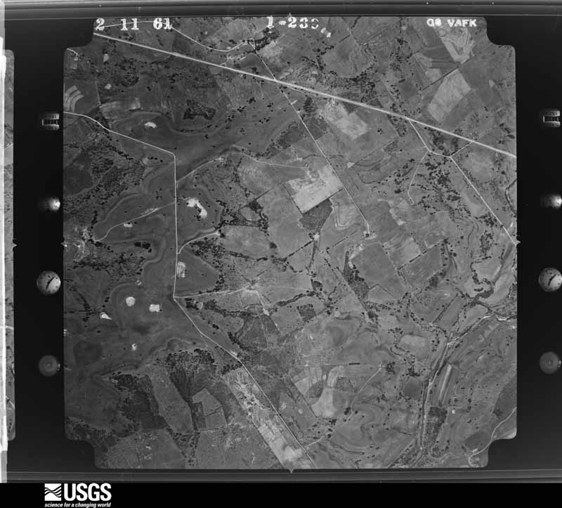
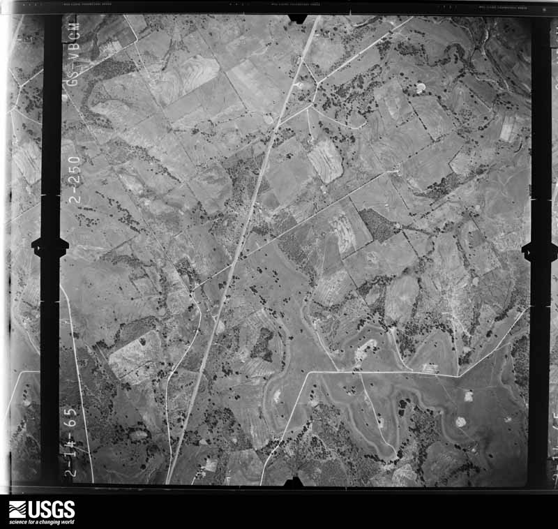
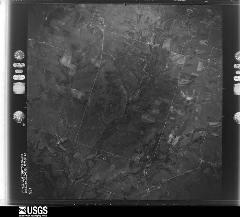
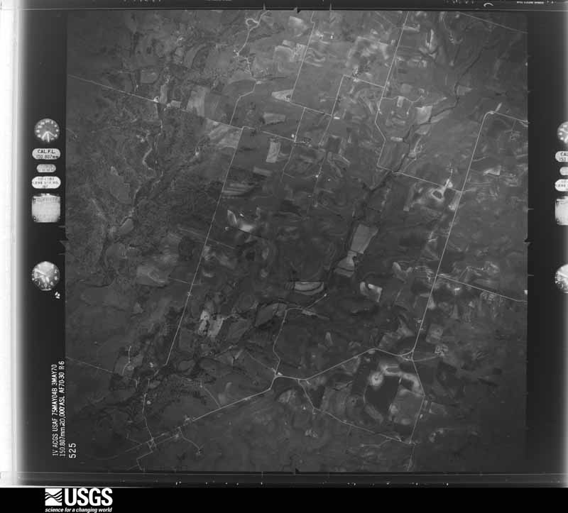
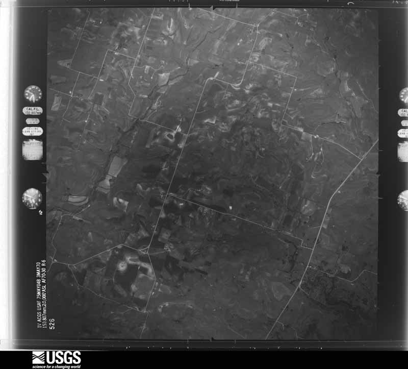
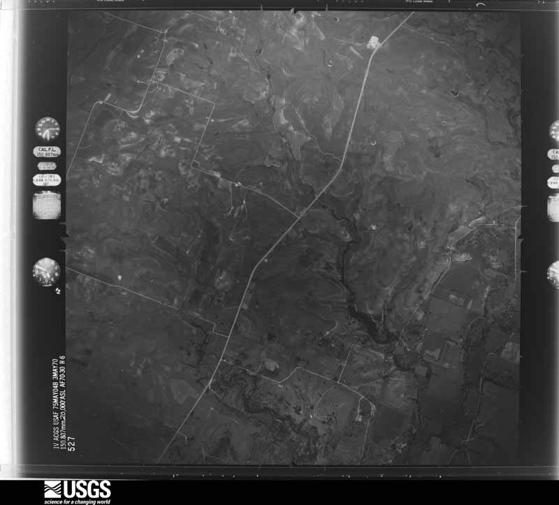
Flown by the U.S. Geological Survey between 1937 and 1989, the Aerial Photo Single Frames collection is the definitive mid-century view of the land: fields, roads and rivers as the camera saw them. The Survey holds 445 frames inside the rectangle that bounds this county; the 17 frames below were taken over the county itself, chosen across the decades of flights (at most four a year from that rectangle), so one flight cannot crowd out the rest. The full set is free to browse and download at EarthExplorer under the dataset Aerial Photo Single Frames.



The thermometers that kept this county's weather, and the gages that measured the flow of its streams, as the federal records hold them. The extremes below are measured values from those records, not estimates.
Who lived here in 1950, one enumeration district at a time, as the Census Bureau described each district. Each row opens its official National Archives result, with Population Schedules and ED Maps available there.
Every wildfire the federal occurrence database records inside this county: 699 of them, burning about 17,450 acres. 21 started naturally and 6 were recorded as arson. Each settlement page carries the fires within five miles of it.
| Reported cause | Fires |
|---|---|
| Debris and open burning | 320 |
| Missing data/not specified/undetermined | 168 |
| Equipment and vehicle use | 150 |
| Natural | 21 |
| Smoking | 19 |
| Power generation/transmission/distribution | 8 |
| Arson/incendiarism | 6 |
| Recreation and ceremony | 4 |
| Misuse of fire by a minor | 2 |
| Railroad operations and maintenance | 1 |
The five largest, by the area the report gives. None of them was recorded as arson.
| Date | Cause | Size | Reported by | Name on the report |
|---|---|---|---|---|
| 9 April 2009 | Power generation/transmission/distribution | 2,800 acres | Texas A & M Forest Service | 617 |
| 27 December 2005 | Missing data/not specified/undetermined | 800 acres | Texas A & M Forest Service | not named |
| 20 July 2018 | Missing data/not specified/undetermined | 500 acres | Texas A & M Forest Service | US 84 LAMPASAS RIVER |
| 3 August 2008 | Missing data/not specified/undetermined | 484 acres | Texas A & M Forest Service | YATES |
| 25 February 2008 | Missing data/not specified/undetermined | 350 acres | Texas A & M Forest Service | CAGE RANCH FIRE |
| 23 January 2017 | Debris and open burning | 300 acres | Texas A & M Forest Service | HC |
| 7 January 2009 | Debris and open burning | 300 acres | Texas A & M Forest Service | BLUE HOG RANCH |
| 26 December 2005 | Missing data/not specified/undetermined | 280 acres | Texas A & M Forest Service | HAMILTON |
Every settlement page carries the fires within five miles of it - see the settlement index below.
The NOAA Storm Events Database holds 389 reports for this county, causing no deaths, 11 injuries and about $15,789,000 in recorded property damage. Each settlement page carries the reports that name it.
| Kind of event | Reports |
|---|---|
| Hail | 198 |
| Thunderstorm Wind | 120 |
| Flash Flood | 40 |
| Tornado | 26 |
| Flood | 4 |
| Heavy Rain | 1 |
The most serious of them, by death, then injury, then recorded damage. The accounts are quoted exactly as the forecast office filed them.
| When | Event | Place named | Harm | What the report says |
|---|---|---|---|---|
| May 1987 | Tornado (F0) | not stated | 4 hurt | no account filed |
| April 1979 | Tornado (F2) | not stated | 3 hurt, $250,000 | no account filed |
| April 1964 | Tornado (F1) | not stated | 3 hurt, $2,500 | no account filed |
| May 2007 | Thunderstorm Wind | Hico | 1 hurt, $30,000 | Numerous trees down across the county; two trailers were damaged with one person trapped inside. |
| April 1994 | Hail | not stated | $5,000,000 | The thunderstorms that produced the hail damage in Erath County moved across parts of Hamilton County, the Hico area having the worst damage, estimated at around 2 million dollars. |
| February 1997 | Flash Flood | Hamilton | $2,300,000 | no account filed |
| June 2007 | Flash Flood | Hico | $2,000,000 | High water was reported on FM 219 west of Highway 281, at FM 1602 three miles east of Highway 281, and on 5th Street in Hico. The water was several feet deep. County Commissioners estimated road damage at $2 million. |
| June 2007 | Flash Flood | Hamilton | $2,000,000 | FM 1602 between Highway 281 and Highway 22 was flooded northeast of Hamilton, and Highway 218 was flooded between Hamilton and Pottsville. County Commissioners estimated road damage around $2 million. |
| June 2007 | Flash Flood | Hamilton | $600,000 | Flooding occurred on city streets and low water crossings. County Commissioners estimated damage at $0.6 million. |
| July 2007 | Flash Flood | Carlton | $600,000 | Water was reported over CR 219 near Carlton. Flooding was widespread in Hico, with FM 1602 washed out and Highway 281 north of town impassable. Flooding was worst at the intersection of Highways 6 and 220. Three high water rescues were required, two for motorists and one at a house. Hico First National Bank, Jersey Lilly's restaurant, and the Koffee Kup restaurant sustained flood damage. |
| April 2011 | Thunderstorm Wind | Indian Gap | $300,000 | Severe thunderstorm winds damaged barns, outbuildings, and trees across Hamilton County. Some trees were fully uprooted. The combination of severe winds and large hail damaged oat and wheat fields that were already suffering from the ongoing drought. |
| April 2023 | Hail | Shive | $250,000 | Fire and rescue reported 3-inch diameter hail near the intersection of County Road 2005 and County Road 221 southwest of Hamilton. |
| April 2011 | Hail | Hamilton | $250,000 | Golfball size hail pelted the city of Hamilton damaging roofs, siding, automobiles, and windows. The hail left holes in the siding of many homes. The windows at City Hall and the post office were broken by the hail. |
| April 1991 | Tornado (F1) | not stated | $250,000 | no account filed |
| April 1991 | Tornado (F2) | not stated | $250,000 | no account filed |
| April 2011 | Thunderstorm Wind | Hamilton Muni Arpt | $200,000 | The automated weather station at the Hamilton Municipal Airport (KMNZ) measured a 64 mph wind gust. In the city of Hamilton, trees were uprooted and limbs were knocked down. |
| May 1995 | Thunderstorm Wind | Pottsville | $120,000 | Two mobile homes and a barn were destroyed, roofs were blown off, windows were blown out, and trees were uprooted by high winds. |
| April 2023 | Hail | Fairy | $100,000 | A public report indicated 3-inch diameter hail about 10 miles south of Hico. |
| May 2015 | Tornado (EF1) | Shive | $100,000 | A National Weather Service damage survey team found evidence of EF-1 tornado damage near the Shive community in Hamilton County. The tornado began southeast of the town center, damaging a house, several trees, and several farm buildings. The tornado occurred over mainly open land over its five mile path, but did damage to four houses. Several Hamilton County roads needed to be cleared thanks to tree damage as well. |
| March 2013 | Thunderstorm Wind | Hamilton | $100,000 | Hamilton Police Department reported a roof collapse of a supermarket in the city of Hamilton. Several trees were blown down in the city of Hamilton as well. |
| June 2000 | Flash Flood | Hamilton | $100,000 | Numerous roads were washed out and farm losses occurred from drowned livestock. |
| March 2002 | Tornado (F0) | Hico | $75,000 | Most of the damage was to trees. One tree fell on a house. Approximately five metal roofs were partially peeled back. A few house roofs lost shingles. Minor damage was done to the high school, and minor damage was done to outbuildings, sheds, and trees for one half mile northeast of the high school beforethe tornado dissipated. |
| April 2011 | Thunderstorm Wind | Lanham | $50,000 | A tree fell on a home near Lanham. Extensive damage was done to the home, causing part of the roof to collapse. The side of the house was also pelted with hail leaving holes in the siding. |
| February 2009 | Thunderstorm Wind | Shive | $50,000 | A barn near Shive was heavily damaged and several roofs and trees were damaged near Shive. A house southwest of the city of Hamilton lost most of its aluminum metal roof and a large trailer was blown over. Near Hamilton Municipal Airport, another trailer was removed from its moorings and blown 20 feet to the north. Additional damage to outbuildings and power poles was reported across the southern half of the county. A NWS Survey team confirmed the damage across the county was due to downburst or straight lines winds estimated at 70 MPH. |
| April 2009 | Flash Flood | Evant | $50,000 | Numerous roads across the southern half of the county were heavily damaged by flooding. Moderate to severe road damage was caused in the area from Shive to Evant to Ohio. Road material was washed off the road, and ditches, culverts, and tin horns were washed out. Highway 84 near Evant was closed for approximately 1.5 hours due to high water and a swift water rescue was required. Highway 281 also had water crossing the road in a few places. CRs 519, 524, and 530 sustained heavy damage and remained closed for some time. |
| April 1993 | Thunderstorm Wind | Hamilton | $50,000 | Thunderstorm winds destroyed a car wash, and blew down gas pumps, trees and powerlines. |
| October 1993 | Thunderstorm Wind | Indian Gap | $50,000 | Thunderstorm winds destroyed barns and killed some calves. |
| October 1993 | Thunderstorm Wind | Hamilton | $50,000 | Thunderstorm winds severely damaged a greenhouse west of Hamilton. |
| April 2024 | Hail | Mc Girk | $50,000 | no account filed |
| May 2024 | Flash Flood | Whiteway | $30,000 | Fire and rescue reported that TX36 was flooded and impassable at CR 414 and 412 with water rescues occurring SE of Hamilton. Flooded underpasses were also reported in Evant at US281 and US84 resulting in vehicle entrapment. Water over the bridge at CR182 was reported as well. |
| June 2009 | Thunderstorm Wind | Mc Girk | $30,000 | Numerous trees were uprooted, twisted, and snapped along FM 1047 from Star to the Game Warden Academy. A trailer house next to the Academy was rolled onto it's side and several barns lost their roofs in the same area. |
| April 2008 | Thunderstorm Wind | Hico | $30,000 | A camping trailer was damaged on Highway 220 north of Hico. A mobile home and a home under construction were also heavily damaged. |
| June 2019 | Thunderstorm Wind | Hamilton | $25,000 | Hamilton Police Department reported a tree blown onto a house, resulting in a fire in the city of Hamilton, TX. |
| April 2011 | Hail | Pottsville | $25,000 | Golfball sized hail and 80 mph winds were reported in Pottsville. |
| May 1982 | Tornado (F1) | not stated | $25,000 | no account filed |
| April 1954 | Tornado (F1) | not stated | $25,000 | no account filed |
| May 1995 | Thunderstorm Wind | Hamilton | $20,000 | Four homes had all their west side windows blown out by high winds. |
| April 2021 | Hail | Carlton | $20,000 | no account filed |
| March 2004 | Thunderstorm Wind | Hamilton | $15,000 | Barns were damaged and trees were blown down. |
| March 2004 | Thunderstorm Wind | Aleman | $15,000 | A barn was blown down, a hay feeder weighing about 500 pounds was blown 1/2 mile, a pickup tool box was blown 1/2 mile, a large propane tank was moved, large trees were uprooted, and the tin roof of a building was rolled up. |
| March 2004 | Thunderstorm Wind | Olin | $15,000 | A shed was destroyed, and 3 barns were damaged between Olin and Fairy. |
| July 1998 | Thunderstorm Wind | Hamilton | $15,000 | An apartment building was unroofed and powerlines were blown down from thunderstorm winds. |
| May 2025 | Hail | Shive | $13,000 | Baseball size hail was reported off County Road 513 south of Shive. |
| June 2024 | Hail | Hico | $11,000 | Amateur radio operator reported 2 inch sized hail in Hico. |
| June 2019 | Hail | Hamilton | $10,000 | Hamilton Police Department reported golf ball size hail approximately 2 miles north of the city of Hamilton, TX. |
| June 2016 | Flash Flood | Shive | $10,000 | Hamilton County Sheriff's Department reported water getting into one home in southern Hamilton County. |
| May 2013 | Hail | Shive | $10,000 | Trained spotters reported baseball sized hail near Shive. |
| May 2013 | Hail | Shive | $10,000 | Ping Pong ball sized hail was reported west of the city of Evant. |
| June 2011 | Thunderstorm Wind | Hamilton | $10,000 | Large tree limbs were snapped off trees in Hamilton. |
| February 2009 | Hail | Hamilton | $10,000 | Golfball size hail fell in Hamilton. A car dealership in the city of Hamilton reported minimal damage to cars on the lot. |
| April 2005 | Hail | Hamilton | $10,000 | Baseball size hail reported in the city of Hamilton. Roofs and vehicles were damaged. |
| April 2011 | Thunderstorm Wind | Pottsville | $8,000 | Golfball sized hail and 80 mph winds were reported in Pottsville. |
| February 2009 | Thunderstorm Wind | Blue Ridge | $8,000 | Near Blue Ridge, a small outbuilding was destroyed and the debris carried up to a half mile to the northeast. A NWS survey team confirmed the damage was the result of a downburst or straight line winds. |
| April 1995 | Thunderstorm Wind | Hamilton | $7,000 | A barn was blown down by high winds. |
| April 2021 | Hail | Carlton | $7,000 | no account filed |
| May 2013 | Hail | Hamilton | $7,000 | no account filed |
| May 2011 | Hail | Hamilton | $7,000 | no account filed |
| April 2023 | Hail | Fairy | $5,000 | A public report indicated 2-inch diameter hail about 10 miles northeast of Hamilton. |
| June 2019 | Thunderstorm Wind | Hamilton Muni Arpt | $5,000 | The Hamilton, TX Airport Automated Weather Observation System (AWOS) reported a wind gust of 68 MPH. |
| May 2015 | Thunderstorm Wind | Whiteway | $5,000 | Hamilton County Sheriff's Department reported 2 houses and 2 outhouses with major damage near the intersection of FM 932 and CR 432. |
Named settlements recorded in the Geographic Names Information System, each with the topographic sheets covering it. Villages, hamlets and abandoned places alike. Each is shown with the nearest named watercourse or landform and the survey quadrangle it falls on.
Hamilton census division · 76525 · Near Howard Hollow · Evant quadrangle
13 sheets, 1887 to 1985
Hamilton census division · 76531 · On Mesquite Creek · Gentrys Mill quadrangle
15 sheets, 1888 to 1985
Hico census division · 76457 · On Jacks Hollow Branch · Hico quadrangle
15 sheets, 1888 to 1985
Hico census division · 76538 · Near Cutoff Mountain · Fairy quadrangle
12 sheets, 1888 to 1985
Hamilton census division · 76531 · On South Lampasas River · Pecan Wells quadrangle
13 sheets, 1888 to 1985
Hamilton census division · 76531 · On Henderson Creek · Ohio quadrangle
14 sheets, 1888 to 1985
Hamilton census division · 76531 · On Baptist Branch · Pottsville quadrangle
13 sheets, 1888 to 1985
Hamilton census division · 76531 · On Spring Branch Hiller Slough · Shive quadrangle
13 sheets, 1888 to 1985
Hamilton census division · 76531 · Near Owl Hollow · Gentrys Mill quadrangle
15 sheets, 1888 to 1985
Hamilton census division · 76525 · Near Barner Hollow · Shive quadrangle
13 sheets, 1888 to 1985