 Block
BlockFrom the record
2 National Register listings published here.
Sources: the National Register database, National Park Service
31 topographic sheets cover 15 settlements here, and 2 properties are on the National Register of Historic Places.
2 National Register listings published here.
Sources: the National Register database, National Park Service
Every property in this county listed on the National Register of Historic Places, with the year it was listed and the federal nomination document.
| Photograph | Property | Type | Listed | Reference |
|---|---|---|---|---|
| Quanah Commercial Historic District | district | 2000 | 00000475 | |
 | Quanah, Acme and Pacific Depot | building | 1979 | 79002951 |
Drawn when these were printed as single large sheets: the town seen from the air, and the county divided into its farms with every owner named. Each opens the original at the Library of Congress.


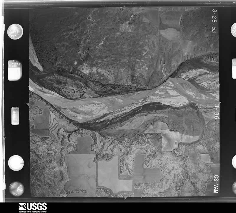
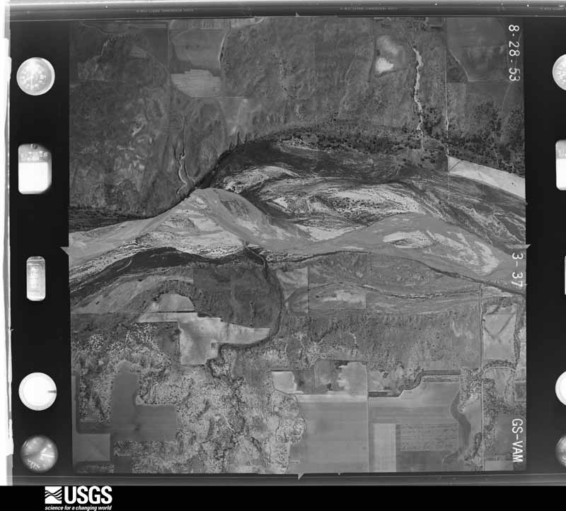
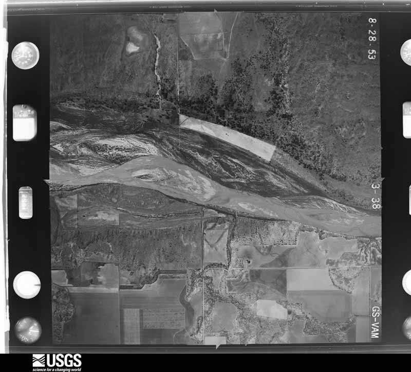
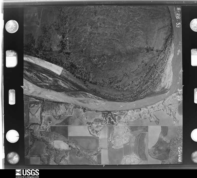
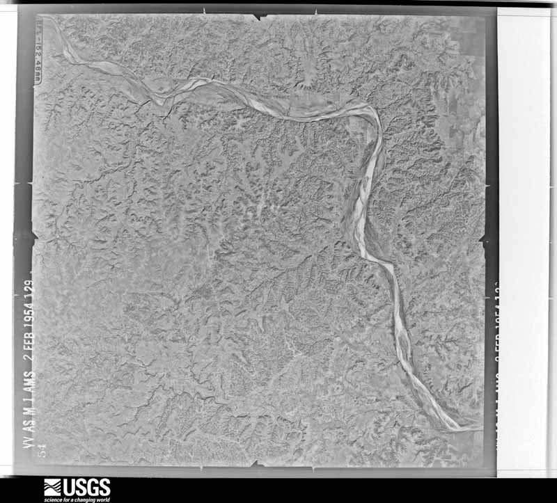
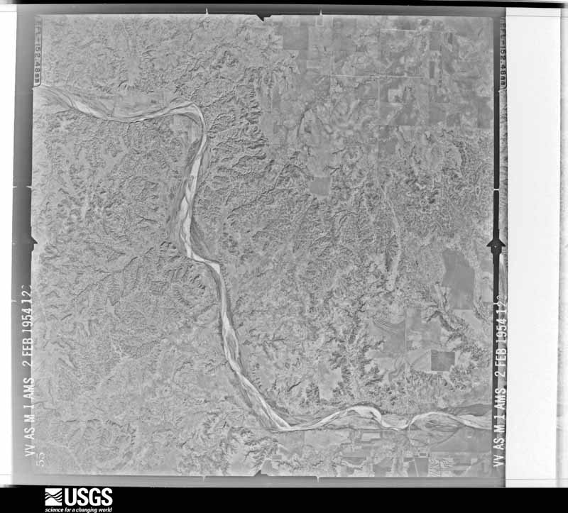
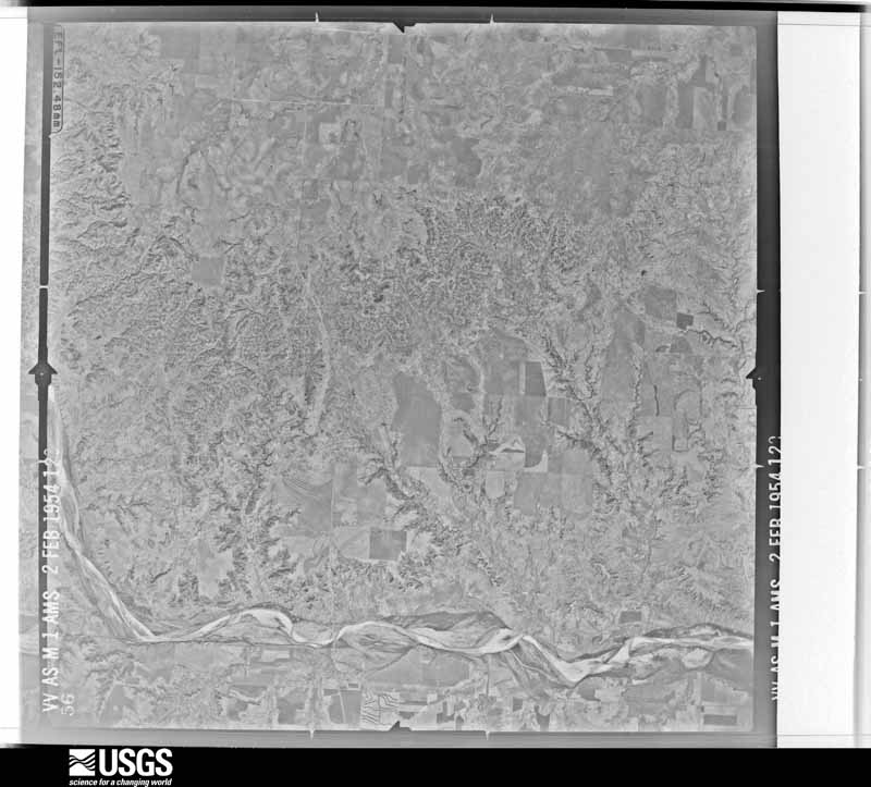
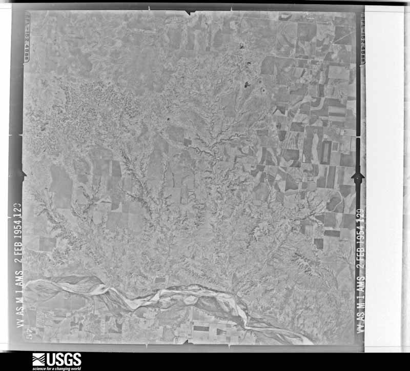
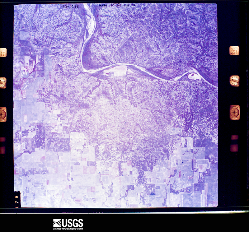
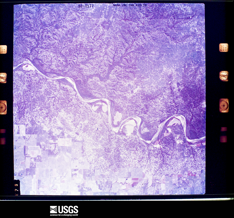
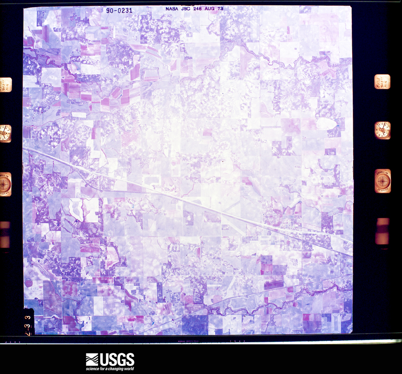
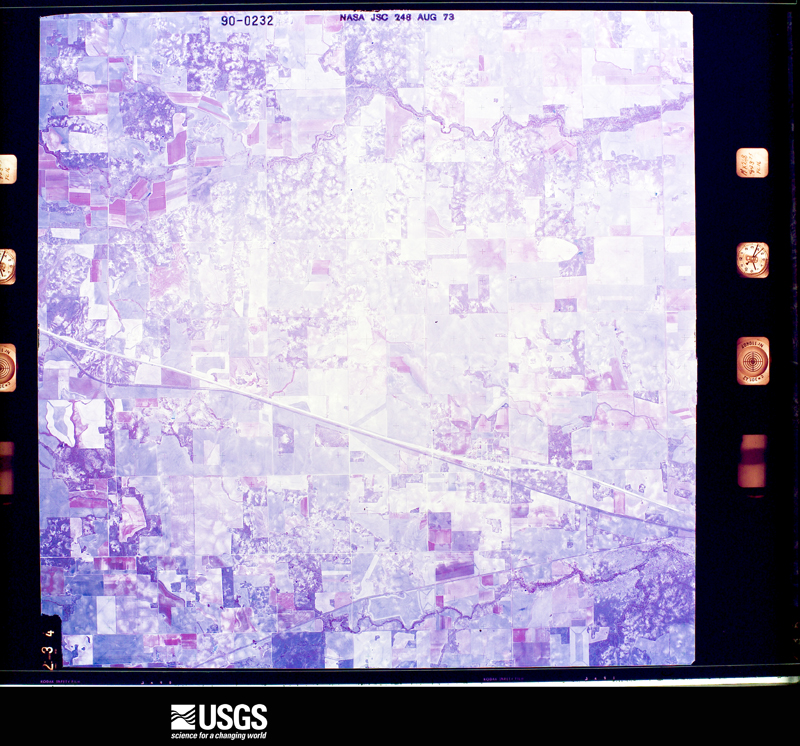
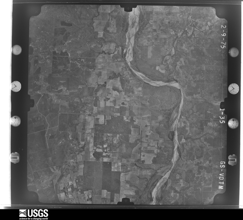
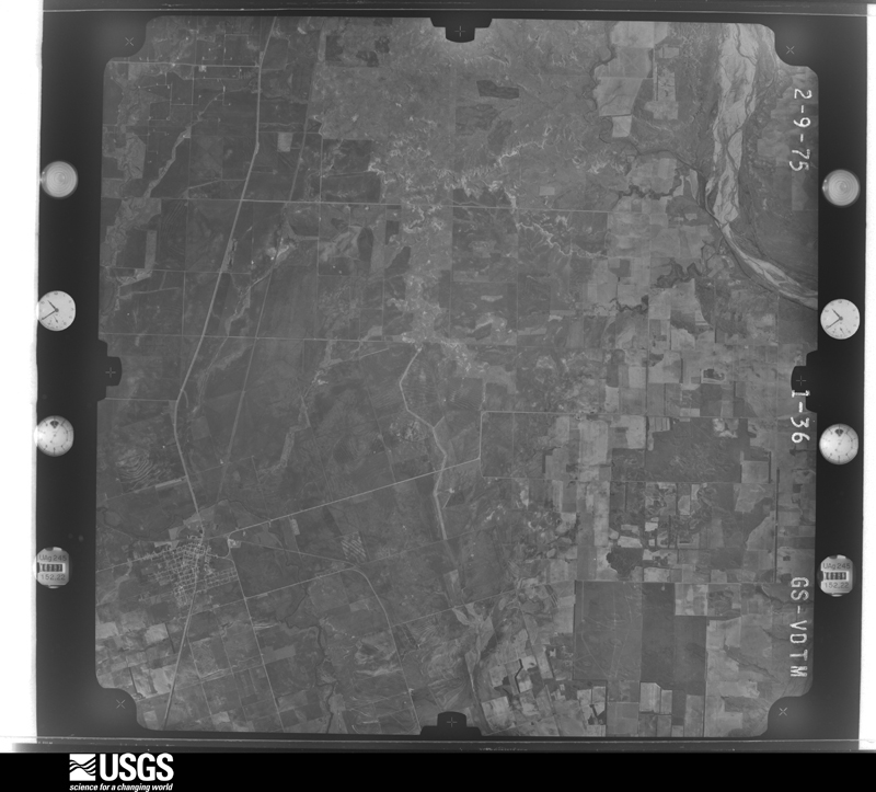
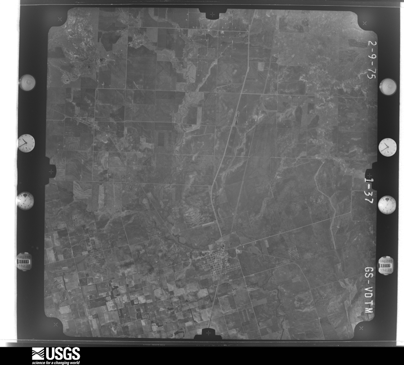
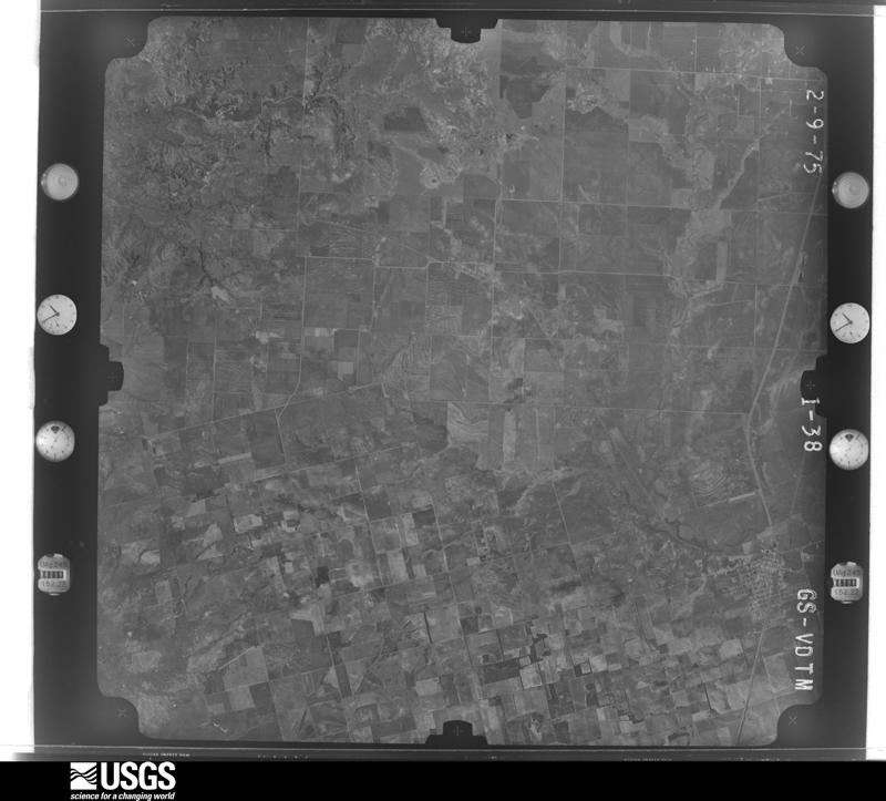
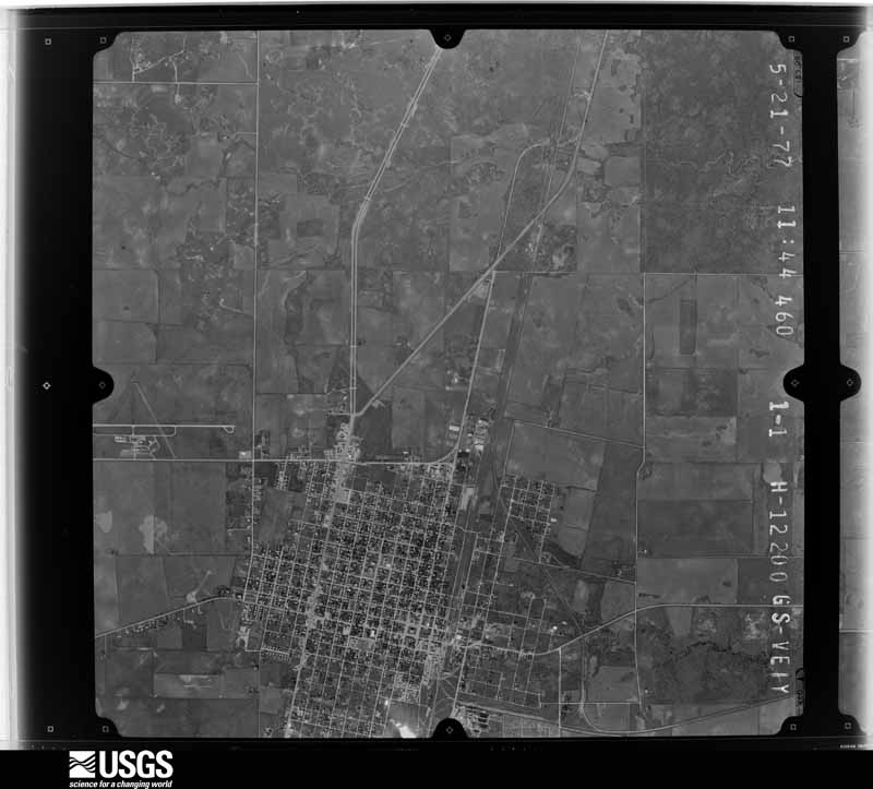
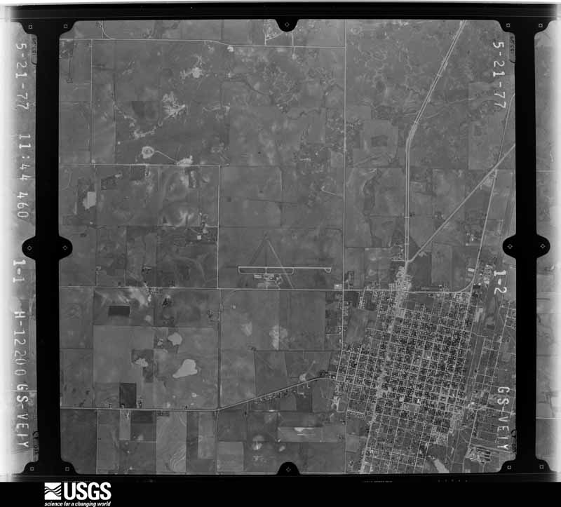
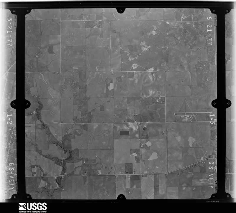
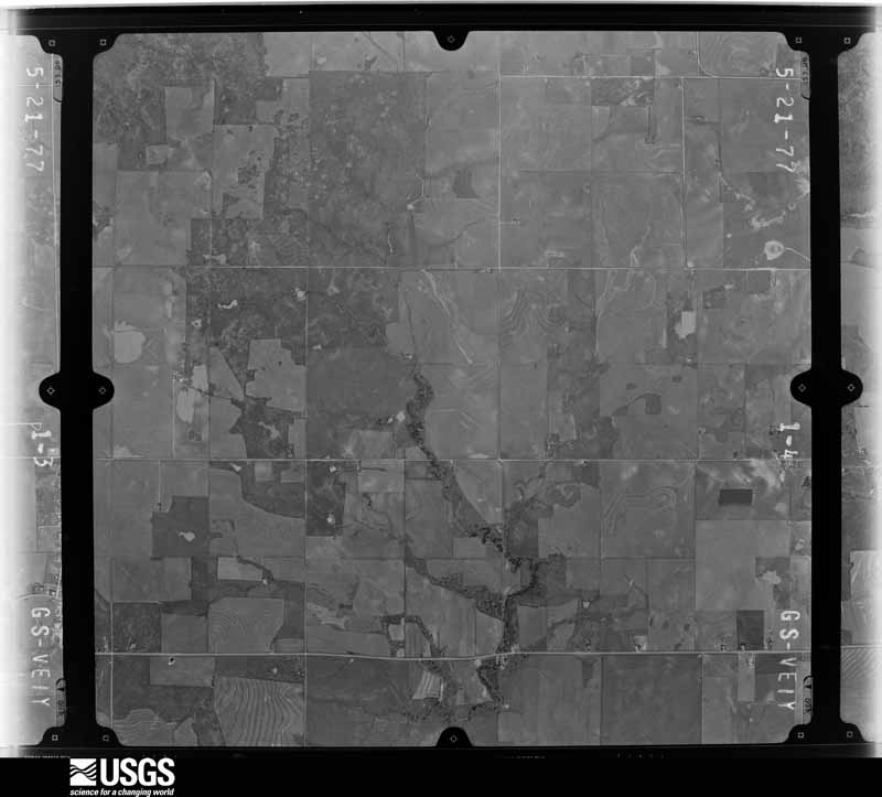
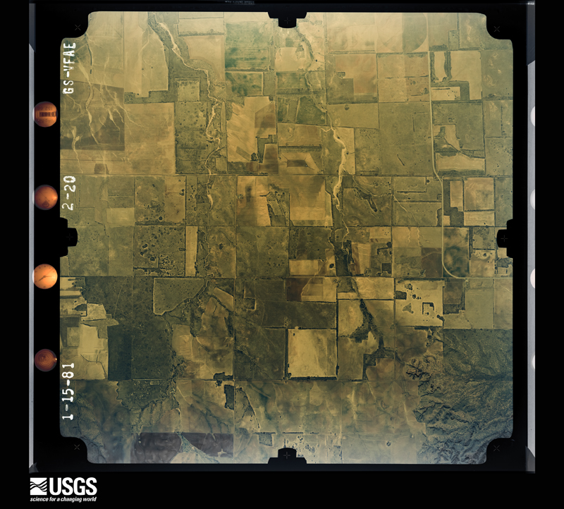
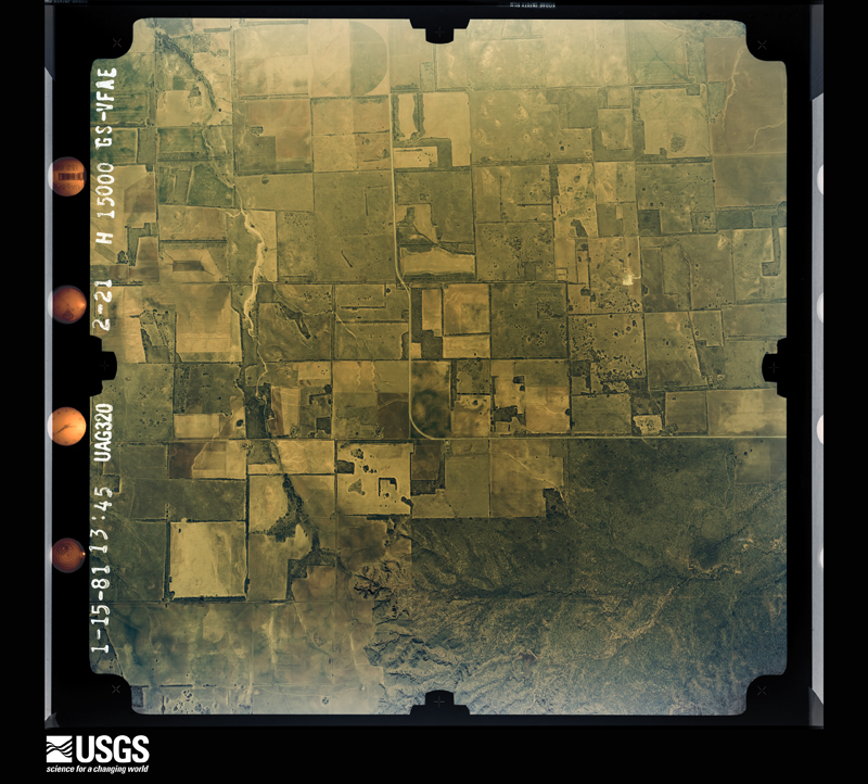
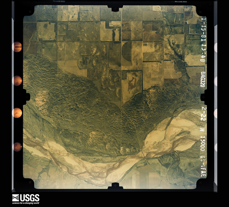
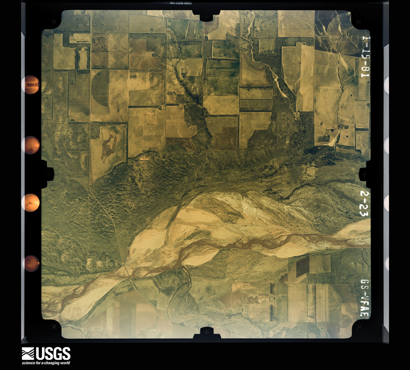
Flown by the U.S. Geological Survey between 1937 and 1989, the Aerial Photo Single Frames collection is the definitive mid-century view of the land: fields, roads and rivers as the camera saw them. The Survey holds 2,379 frames inside the rectangle that bounds this county; the 32 frames below were taken over the county itself, chosen across the decades of flights (at most four a year from that rectangle), so one flight cannot crowd out the rest. The full set is free to browse and download at EarthExplorer under the dataset Aerial Photo Single Frames.
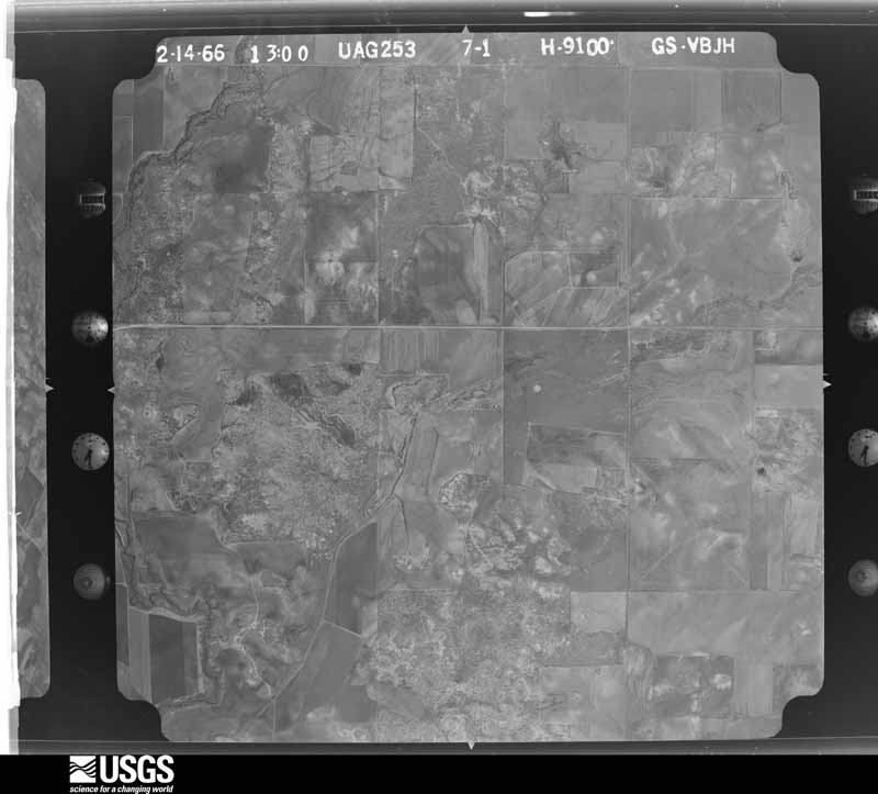
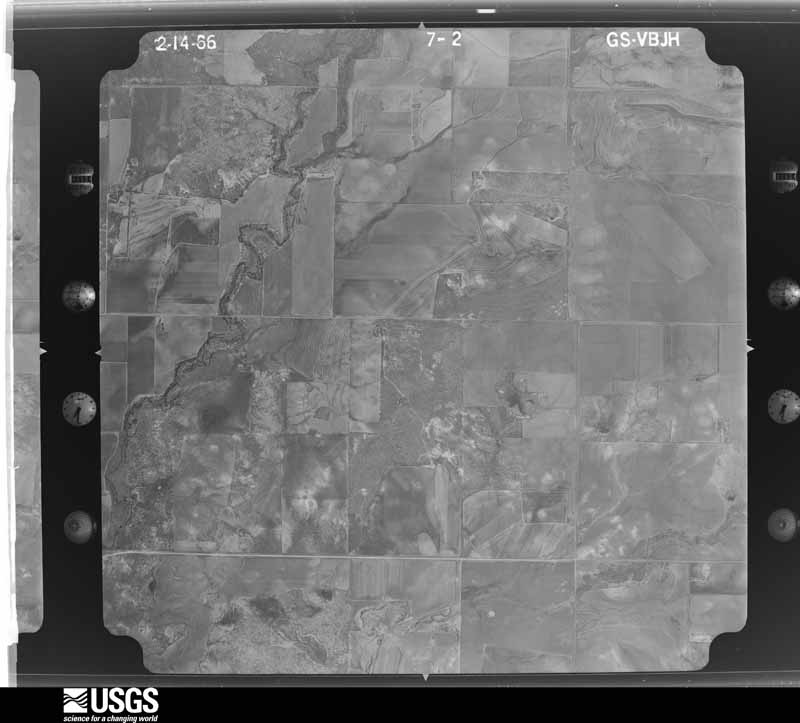
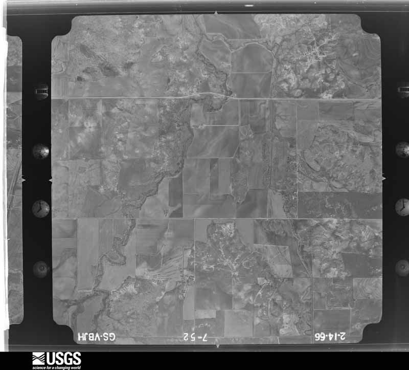
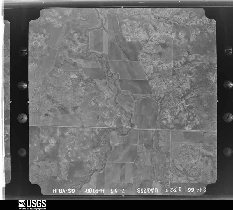
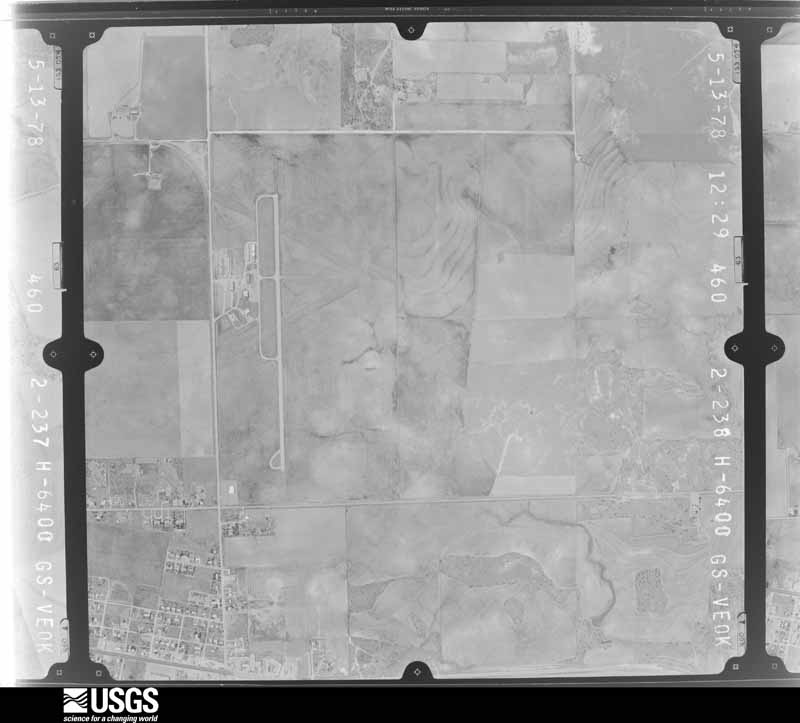
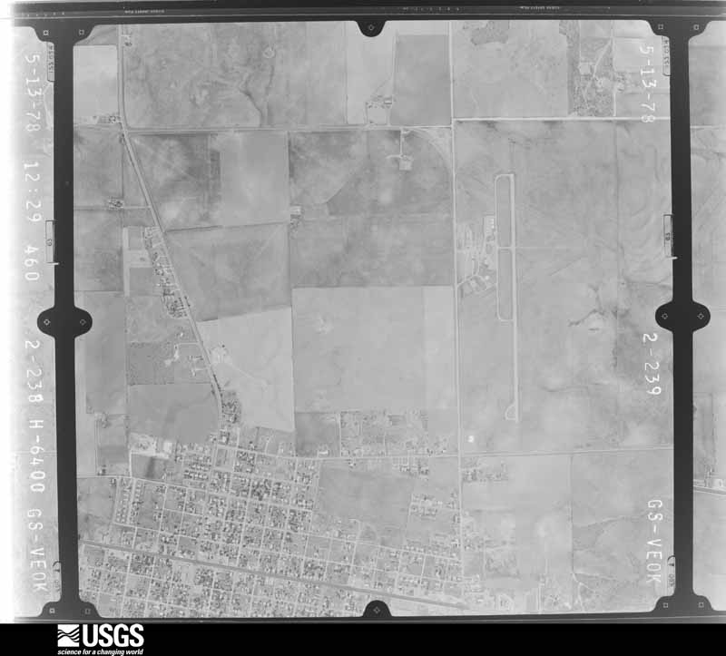
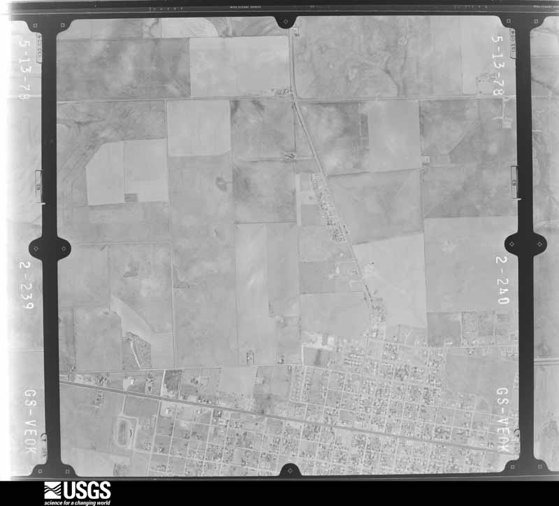
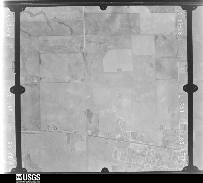
The thermometers that kept this county's weather, and the gages that measured the flow of its streams, as the federal records hold them. The extremes below are measured values from those records, not estimates.
Who lived here in 1950, one enumeration district at a time, as the Census Bureau described each district. Each row opens its official National Archives result, with Population Schedules and ED Maps available there.
Every wildfire the federal occurrence database records inside this county: 153 of them, burning about 21,908 acres. 12 started naturally and 5 were recorded as arson. Each settlement page carries the fires within five miles of it.
| Reported cause | Fires |
|---|---|
| Equipment and vehicle use | 35 |
| Debris and open burning | 29 |
| Missing data/not specified/undetermined | 28 |
| Smoking | 25 |
| Natural | 12 |
| Railroad operations and maintenance | 8 |
| Power generation/transmission/distribution | 7 |
| Arson/incendiarism | 5 |
| Misuse of fire by a minor | 3 |
| Other causes | 1 |
The five largest, by the area the report gives. None of them was recorded as arson.
| Date | Cause | Size | Reported by | Name on the report |
|---|---|---|---|---|
| 16 August 2019 | Other causes | 7,206 acres | Texas A & M Forest Service | COPPER BREAKS |
| 20 September 2011 | Natural | 3,700 acres | Texas A & M Forest Service | SOUTH 104 FIRE |
| 12 August 2015 | Missing data/not specified/undetermined | 2,500 acres | Texas A & M Forest Service | MOFETT |
| 26 June 2011 | Power generation/transmission/distribution | 1,200 acres | Texas A & M Forest Service | FM 1166 FIRE |
| 3 April 2011 | Missing data/not specified/undetermined | 1,100 acres | Texas A & M Forest Service | WILLOW VIEW FIRE |
| 16 February 2006 | Missing data/not specified/undetermined | 850 acres | Texas A & M Forest Service | ARKANSAS RD |
| 13 September 2015 | Natural | 800 acres | Texas A & M Forest Service | ABERNATHY |
| 16 November 2007 | Equipment and vehicle use | 400 acres | Texas A & M Forest Service | not named |
Every settlement page carries the fires within five miles of it - see the settlement index below.
The NOAA Storm Events Database holds 462 reports for this county, causing no deaths, 2 injuries and about $1,091,950 in recorded property damage. Each settlement page carries the reports that name it.
| Kind of event | Reports |
|---|---|
| Hail | 282 |
| Thunderstorm Wind | 129 |
| Tornado | 42 |
| Flash Flood | 6 |
| Flood | 2 |
| Lightning | 1 |
The most serious of them, by death, then injury, then recorded damage. The accounts are quoted exactly as the forecast office filed them.
| When | Event | Place named | Harm | What the report says |
|---|---|---|---|---|
| May 2001 | Tornado (F1) | Quanah | 1 hurt, $60,000 | This was a large tornado, observed by many persons, but only produced F1 damage. The tornado formed about 3 miles east of Quanah and tracked east-southeast for 8 miles before dissipating. As the tornado crossed Highway 287, a semi-truck, which pulled to the side of the road, was blown over. The driver sustained several injuries, requiring hopital care. Also nearby, 10 to 15 utility poles were either blown over or snapped in half, and a trailer house was destroyed. |
| August 1970 | Tornado (F2) | not stated | 1 hurt, $25,000 | no account filed |
| May 2001 | Thunderstorm Wind | Chillicothe | $300,000 | Damage to buildings, trees, power poles, and other infrastructure was sustained city-wide. |
| March 2007 | Thunderstorm Wind | Quanah Muni Arpt | $107,000 | All power was lost in the town of Quanah. Damage was reported to a log cabin. A bale of hay was lifted over a fence. Power poles/lines were downed. A mobile home rolled and was heavily damaged. Several residences reported roof damage. A chimney was knocked off the roof of one residence. Fences were reported knocked down. A grain bin was blown three quarters of a mile. Two out-buildings were also destroyed. |
| April 2003 | Tornado (F2) | Williams | $75,000 | This tornado began in Hardeman County, Texas producing F2 damage before moving northeast and crossing the Red River at 1829 CST into extreme western Jackson County, Oklahoma then moving into Harmon County, Oklahoma where it dissipated. The tornado moved through a farm north of Williams, Texas causing significant damage. A hay barn, saddle shed, garage, shop, and chicken house were destroyed. The house was also damaged with broken windows, porch removed from the house, tree limbs driven through the north facing wall, and the east wall of the house separated by approximately an inch. |
| June 2008 | Thunderstorm Wind | Quanah | $50,000 | Numerous tree limbs and power lines were blown down. A radio station tower was blown down. Several car winds sustained damage due to flying debris. The wind speed was measured at 65 mph before power was lost. Monetary damages were estimated. |
| May 1994 | Thunderstorm Wind | Quanah | $50,000 | no account filed |
| May 1994 | Thunderstorm Wind | Chillicothe | $50,000 | no account filed |
| June 1994 | Thunderstorm Wind | Goodlett | $50,000 | no account filed |
| May 1993 | Hail | Goodlett | $50,000 | no account filed |
| October 1993 | Hail | Chillicothe | $50,000 | no account filed |
| April 2026 | Thunderstorm Wind | Quanah | $25,000 | A center irrigation pivot was blown over and a 30x30 foot metal carport was overturned in/near Quanah. The location is approximate, and the event time is estimated based on radar observations. |
| May 1986 | Tornado (F1) | not stated | $25,000 | no account filed |
| March 1972 | Tornado (F1) | not stated | $25,000 | no account filed |
| May 2001 | Thunderstorm Wind | Quanah | $20,000 | A trailer building was destroyed. |
| August 1996 | Thunderstorm Wind | Quanah | $15,000 | no account filed |
| August 2013 | Thunderstorm Wind | Goodlett | $12,000 | An empty semi was overturned 2 miles west of Goodlett. |
| June 2007 | Thunderstorm Wind | Chillicothe | $12,000 | Several power poles were blown down. Monetary damages were estimated. |
| April 2026 | Thunderstorm Wind | Quanah | $10,000 | Power lines and power poles were blown down along U.S. Highway 287 on the east side of Quanah. The event time is estimated based on radar observations. |
| June 2009 | Thunderstorm Wind | Quanah | $10,000 | Several power lines were downed on the south and west side of town. The report was relayed by KREL. Monetary damages were estimated. |
| June 1997 | Thunderstorm Wind | Quanah | $10,000 | Severe thunderstorm winds downed power lines and blew a railroad car off its tracks. |
| September 2004 | Thunderstorm Wind | Chillicothe | $7,500 | A tree fell over a power line in town. |
| September 2023 | Thunderstorm Wind | Quanah | $5,000 | Live stream video showing a semi-trailer blown over on U.S. Highway 287 just east of Quanah. Time is radar estimated. |
| April 2003 | Thunderstorm Wind | Chillicothe | $5,000 | Power lines were downed and trees uprooted on Farm to Market Road 91. |
| March 2000 | Thunderstorm Wind | Acme | $5,000 | A semi-truck was overturned. |
| May 1994 | Thunderstorm Wind | Quanah | $5,000 | no account filed |
| May 1994 | Thunderstorm Wind | E Quanah | $5,000 | no account filed |
| May 1994 | Hail | Quanah | $5,000 | no account filed |
| May 1994 | Hail | Quanah | $5,000 | no account filed |
| June 1997 | Thunderstorm Wind | Quanah | $4,000 | Severe thunderstorm winds uprooted trees and snapped tree limbs throughout Quanah. Sustained winds of 55 mph with peak gusts to 60 mph were measured at the Quanah Fire Department. Also, a pickup truck was flipped over by the severe winds west of town. |
| May 1977 | Tornado (F1) | not stated | $2,500 | no account filed |
| June 2008 | Hail | Chillicothe | $2,000 | The windshield of the police chief's car was broken by the falling hail. |
| May 2001 | Thunderstorm Wind | Chillicothe | $2,000 | A roof and tree were damaged. |
| August 2001 | Lightning | Quanah | $2,000 | Lightning struck a transformer, causing a power outage to approximately 800 residents. |
| June 2004 | Thunderstorm Wind | Chillicothe | $1,500 | A ten inch diameter tree limb was downed. |
| April 2021 | Tornado (EFU) | Copper Breaks St Pk | $1,000 | Numerous storm chasers witnessed a tornado in extreme southern Hardeman County south of Quanah that developed close to State Highway 6 and moved east-southeast. The only known damage was to a cattle feeder in this rural area. The tornado path is estimated. |
| May 1998 | Thunderstorm Wind | Quanah | $1,000 | no account filed |
| November 1998 | Thunderstorm Wind | Chillicothe | $1,000 | no account filed |
| May 1996 | Hail | Quanah | $500 | no account filed |
| June 1994 | Thunderstorm Wind | Quanah | $500 | no account filed |
| June 1992 | Tornado (F1) | not stated | $250 | no account filed |
| May 2006 | Thunderstorm Wind | Goodlett | $100 | Two to three inch tree limbs were downed. |
| June 1983 | Tornado (F1) | not stated | $30 | no account filed |
| May 1982 | Tornado (F0) | not stated | $30 | no account filed |
| June 1954 | Tornado (F1) | not stated | $30 | no account filed |
| August 1997 | Thunderstorm Wind | Chillicothe | $10 | Tree limbs ranging from eight to ten inches in diameter blocked numerous roads between Chillicothe and Medicine Mound. |
| April 2026 | Thunderstorm Wind | Goodlett | - | Goodlett (GOOD) Mesonet observation. Severe (>50-knot) wind gusts occurred during the event time, with the peak wind gust of 51 knots occurring at 2227 LST. |
| April 2026 | Thunderstorm Wind | Goodlett | - | Goodlett (GOOD) Mesonet observation. |
| April 2026 | Thunderstorm Wind | Goodlett | - | Goodlett (GOOD) Mesonet observation. Severe (>50-knot) wind gusts occurred during the event time, with the peak gust of 75 knots occurring at 2237 LST. |
| March 2025 | Hail | Quanah | - | Social media images. The event time is estimated from radar observations. |
| July 2025 | Thunderstorm Wind | Goodlett | - | Goodlett (GOOD) Mesonet observation. |
| July 2025 | Thunderstorm Wind | Goodlett | - | Goodlett (GOOD) Mesonet observation. Severe (>50-knot) wind gusts occurred during the event time, with the peak gust of 66 knots occurring at 1944 LST. |
| July 2025 | Thunderstorm Wind | Goodlett | - | Goodlett (GOOD) Mesonet observation. |
| March 2024 | Hail | Quanah | - | Time is radar estimated. |
| April 2024 | Hail | Copper Breaks St Pk | - | MPing report. |
| April 2024 | Hail | Quanah | - | Report relayed by emergency management. |
| November 2024 | Thunderstorm Wind | Goodlett | - | Goodlett (GOOD) Mesonet observation. |
| May 2024 | Hail | Chillicothe | - | Relayed by broadcast media. |
| May 2024 | Thunderstorm Wind | Goodlett | - | Goodlett (GOOD) Mesonet observation. |
| June 2023 | Hail | Goodlett | - | Image shared via KOLJ. Time is radar estimated. |
The Survey's mineral resources record lists 15 workings inside this county. 3 still produce and 12 are closed or unrecorded. Each settlement page carries the workings within five miles of it.
| Commodity | Workings |
|---|---|
| Copper | 12 |
| Gypsum-Anhydrite | 3 |
| Silver | 1 |
The least common of them first, because a county's hundredth gravel pit says nothing its first ten did not.
| Where | Site | Commodity | Status | Recorded |
|---|---|---|---|---|
| Maybell Canyon-1 | Copper, Silver | Occurrence | 1977 | |
| Acme Gypsum Plant | Gypsum-Anhydrite | Producer | ||
| Acme Mine | Gypsum-Anhydrite | Producer | Evaporite, Marine | |
| Acme Quarry | Gypsum-Anhydrite | Producer | ||
| Copper Breaks-1 | Copper | Occurrence | 1891 | |
| Copper Breaks-2 | Copper | Occurrence | 1974 | |
| Cottonwood Creek-1 | Copper | Occurrence | 1968 | |
| Cottonwood Creek-2 | Copper | Occurrence | 1975 | |
| Cottonwood Creek-3 | Copper | Occurrence | 1971 | |
| Devils Creek-1 | Copper | Occurrence | 1971 | |
| Gibbs Prospect | Copper | Past Producer | 1847, 1848, 1918 | |
| Hackberry Creek-1 | Copper | Occurrence | 1968 | |
| Hackberry Creek-2 | Copper | Occurrence | 1971 | |
| Hackberry Creek-3 | Copper | Occurrence | 1968 | |
| Medicine Mounds-E-1 | Copper | Occurrence | 1848 |
Named settlements recorded in the Geographic Names Information System, each with the topographic sheets covering it. Villages, hamlets and abandoned places alike. Each is shown with the nearest named watercourse or landform and the survey quadrangle it falls on.
Quanah census division · 79252 · Quanah West quadrangle
10 sheets, 1955 to 1990
No longer a settlement
Chillicothe census division · 79225 · Near Big Valley · Chillicothe quadrangle
10 sheets, 1955 to 1986
Chillicothe census division · 79252 · Near Little Mound · Medicine Mound quadrangle
9 sheets, 1955 to 1990
Goodlett census division · On Cactus Creek · Maybell Canyon quadrangle
12 sheets, 1927 to 1990
Quanah census division · 79252 · On South Groesbeck Creek · Quanah West quadrangle
10 sheets, 1955 to 1990
The vanished settlements of Hardeman County: the places named above that are no longer on the map.