 Block
BlockFrom the record
2 National Register listings published here.
Sources: the National Register database, National Park Service
54 topographic sheets cover 29 settlements here, and 2 properties are on the National Register of Historic Places.
2 National Register listings published here.
Sources: the National Register database, National Park Service
Every property in this county listed on the National Register of Historic Places, with the year it was listed and the federal nomination document.
| Photograph | Property | Type | Listed | Reference |
|---|---|---|---|---|
| Ada Belle Oil Well | building | 1980 | 80004126 | |
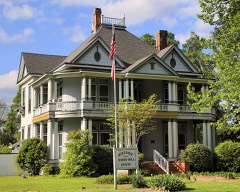 | Kirby-Hill House | building | 1999 | 99000610 |
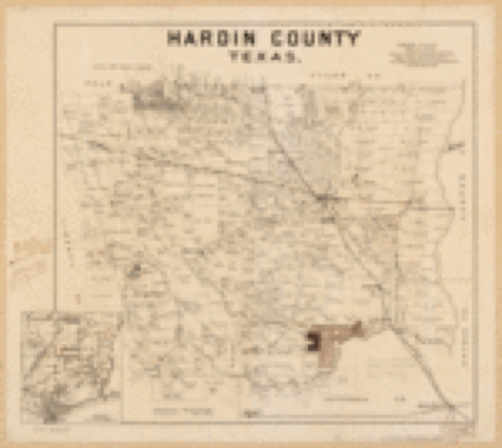
Drawn when these were printed as single large sheets: the town seen from the air, and the county divided into its farms with every owner named. Each opens the original at the Library of Congress.

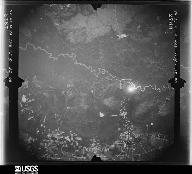
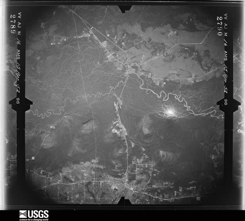
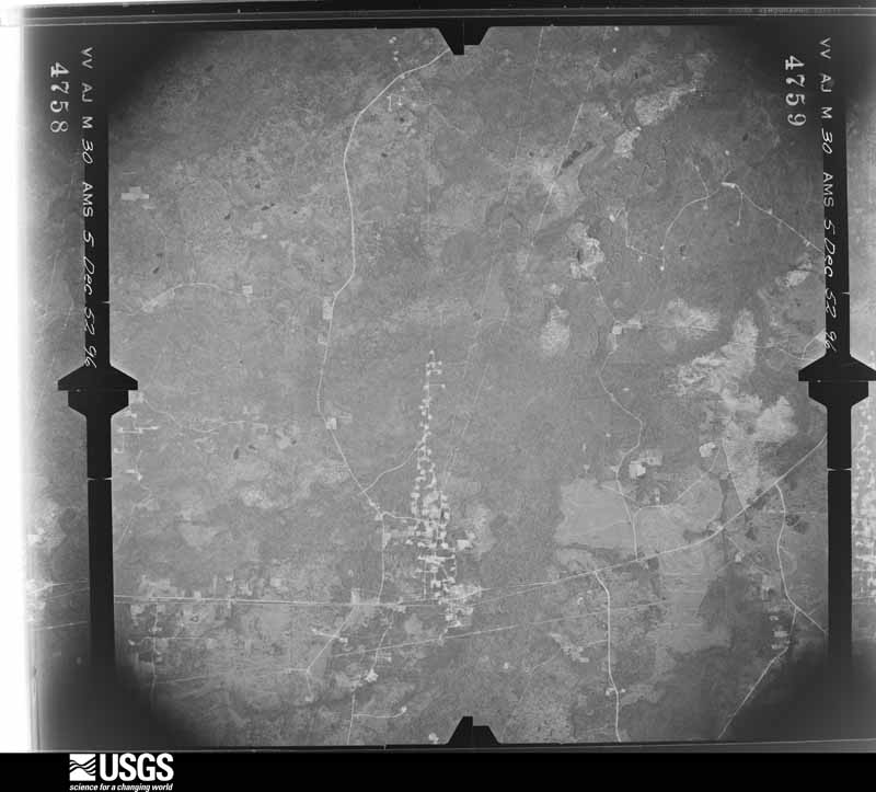
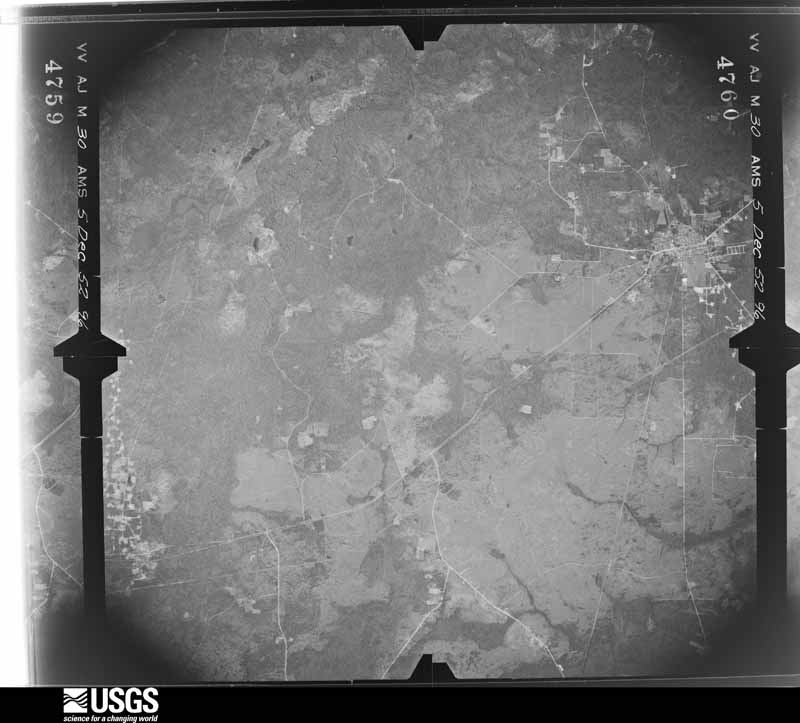
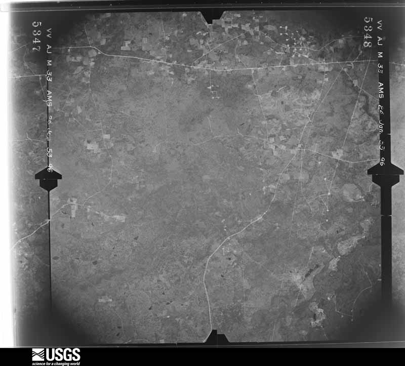
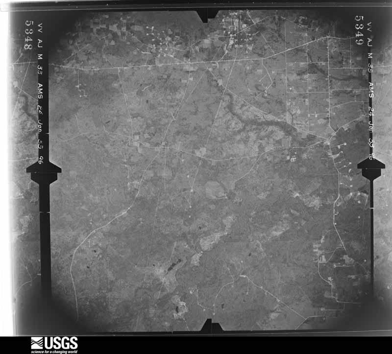
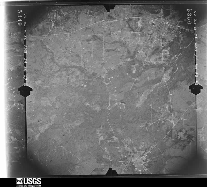
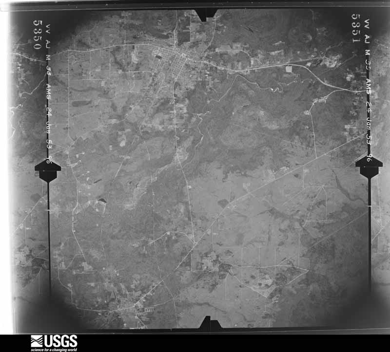
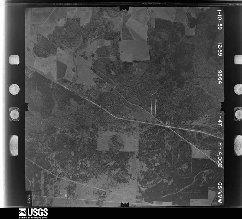
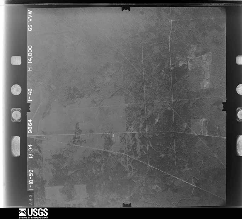
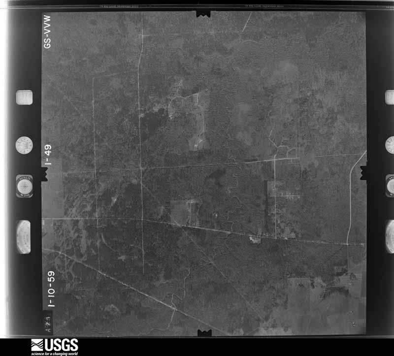
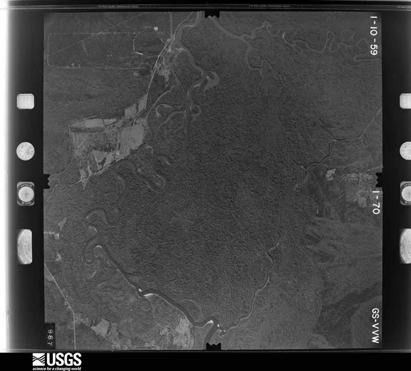
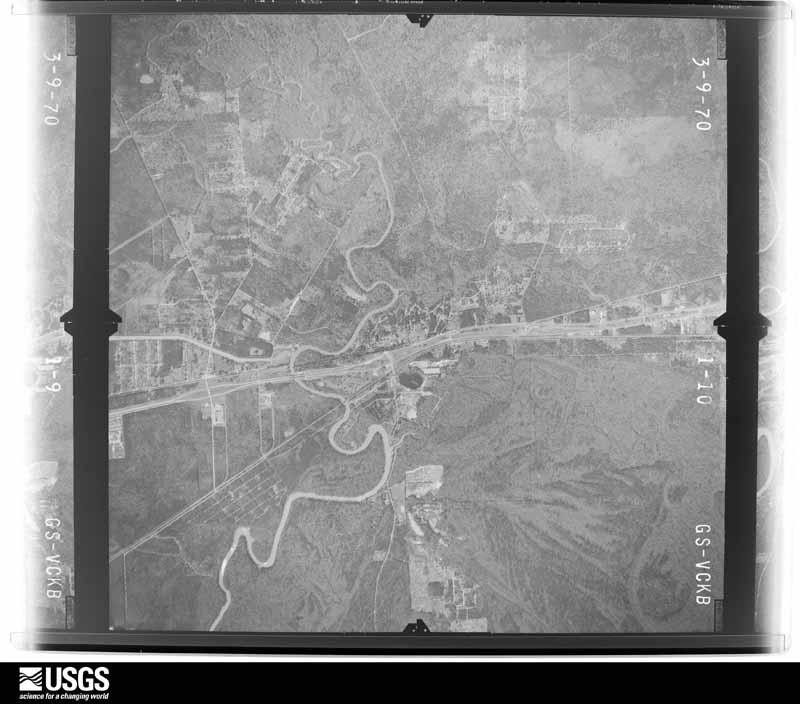
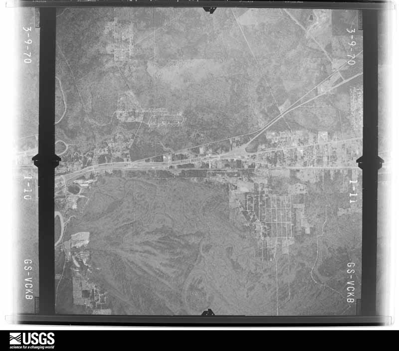
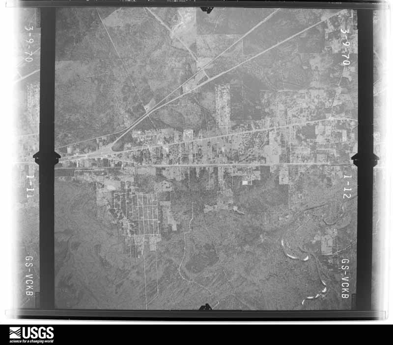
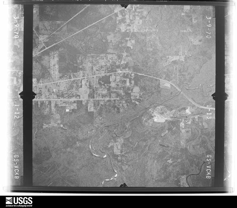
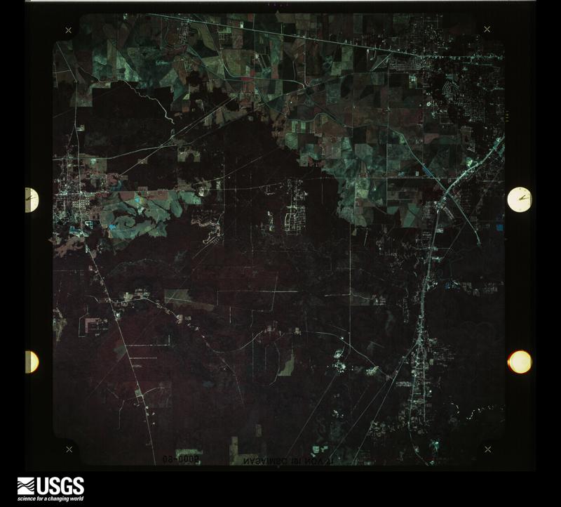
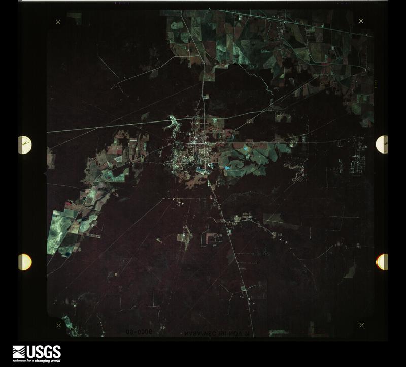
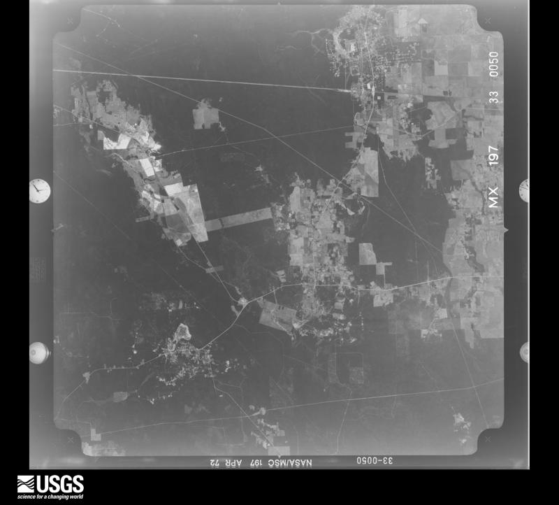
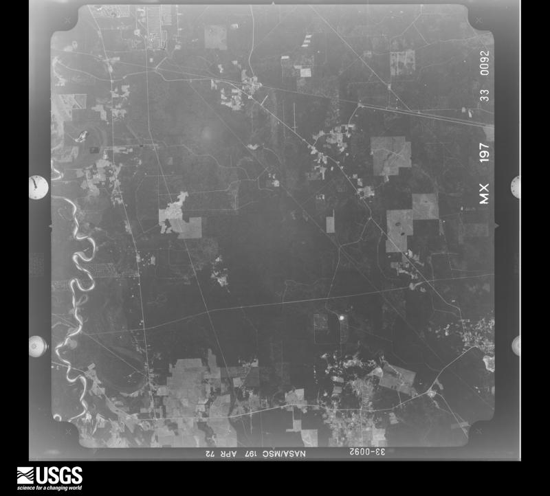
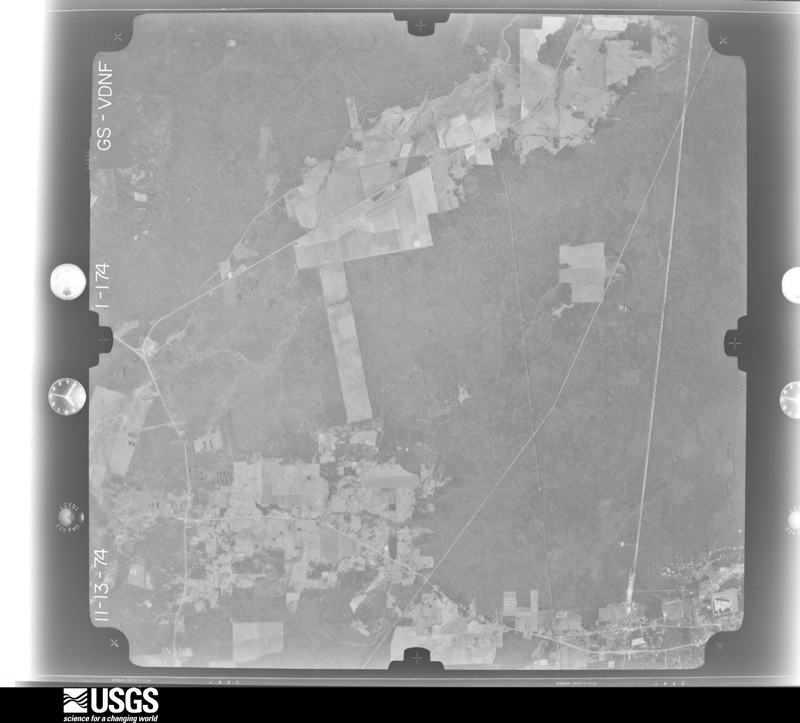
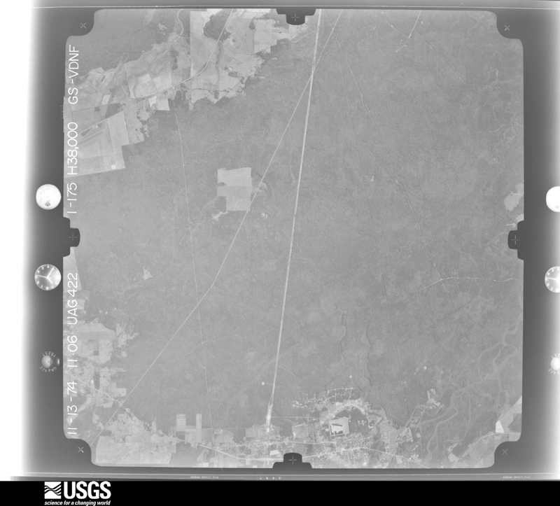
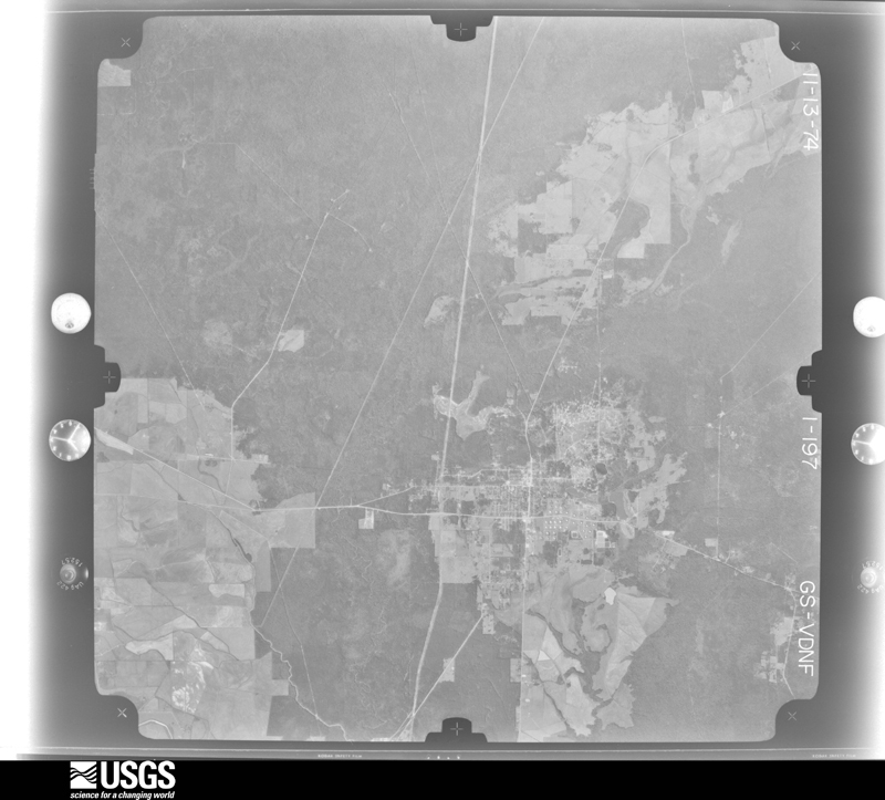
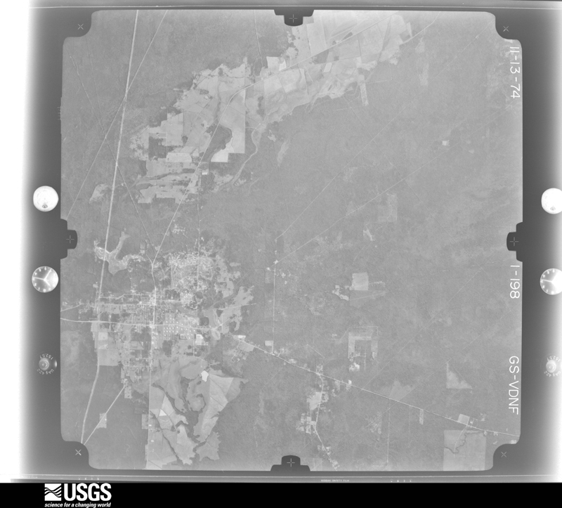
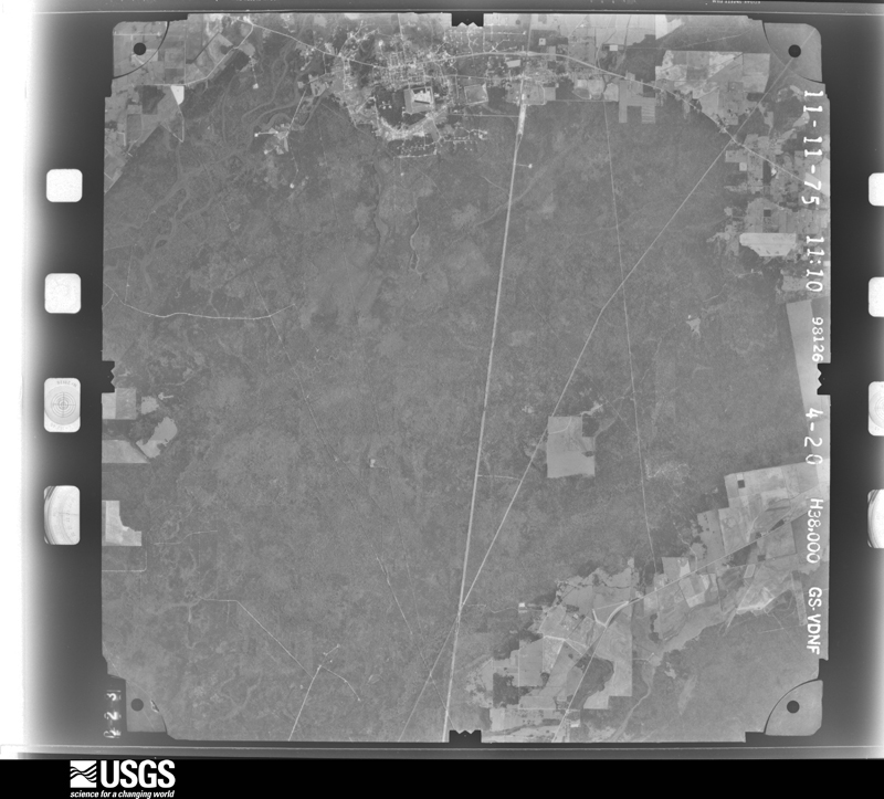
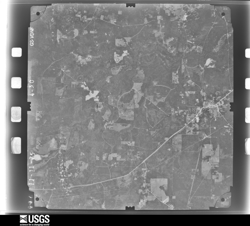
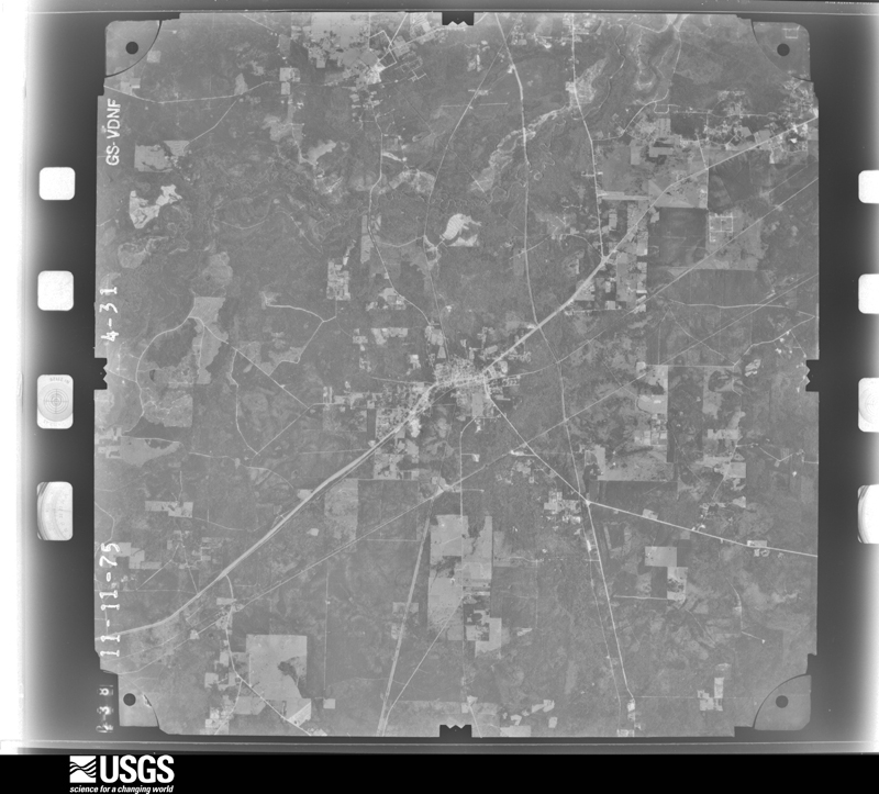
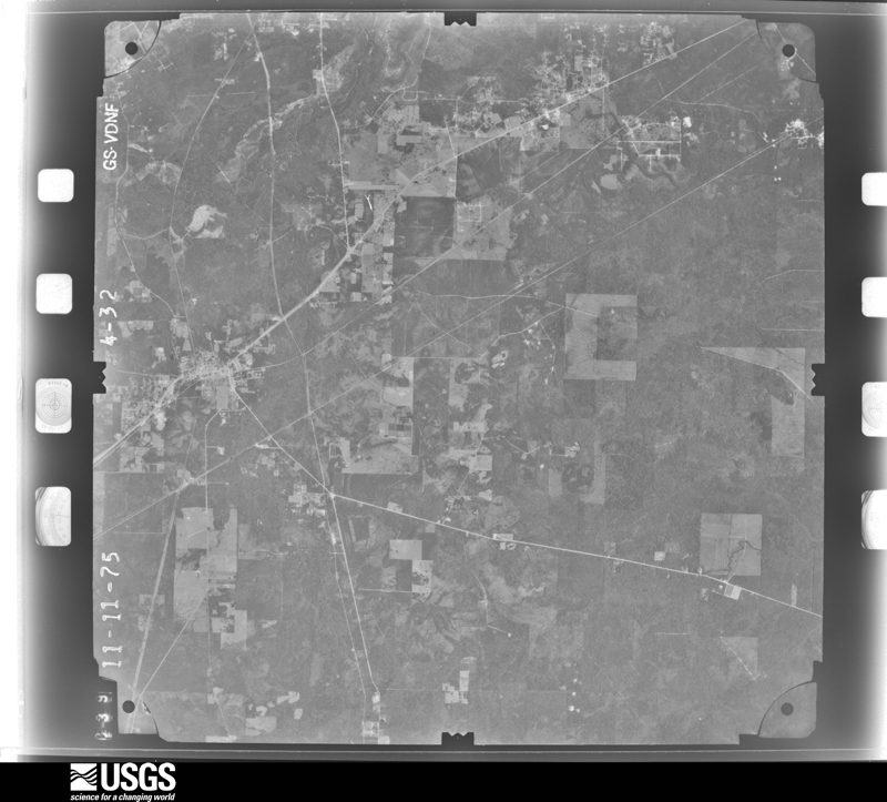
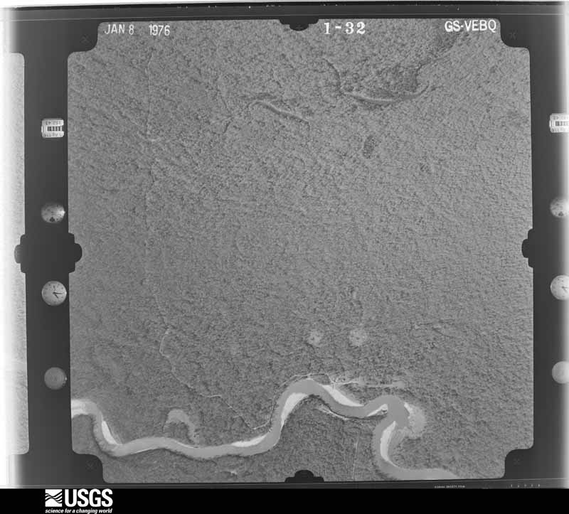
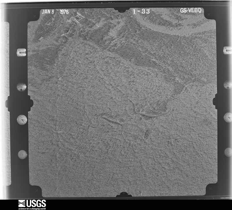
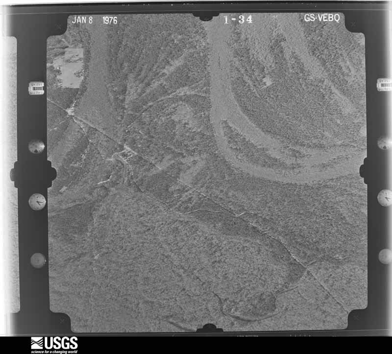
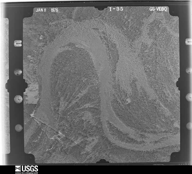
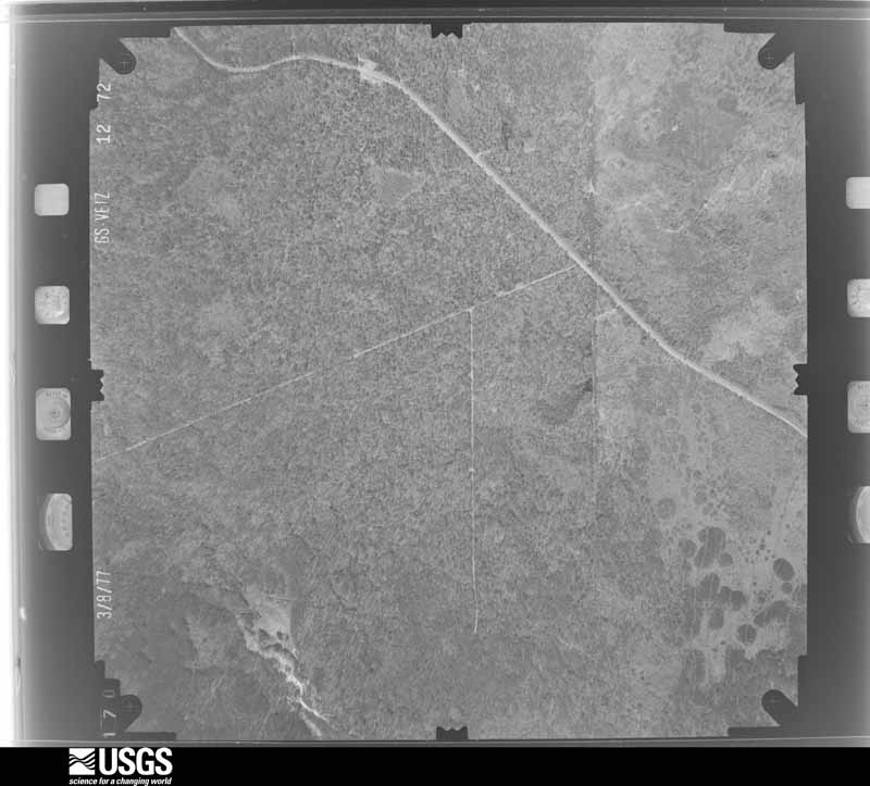
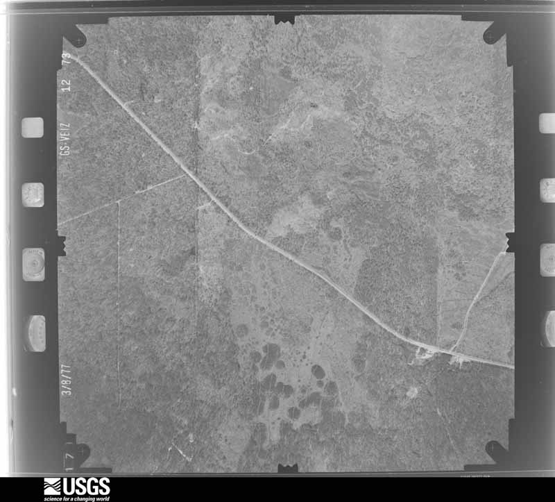
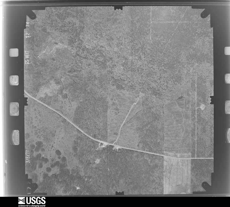
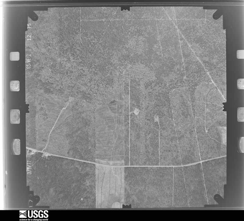
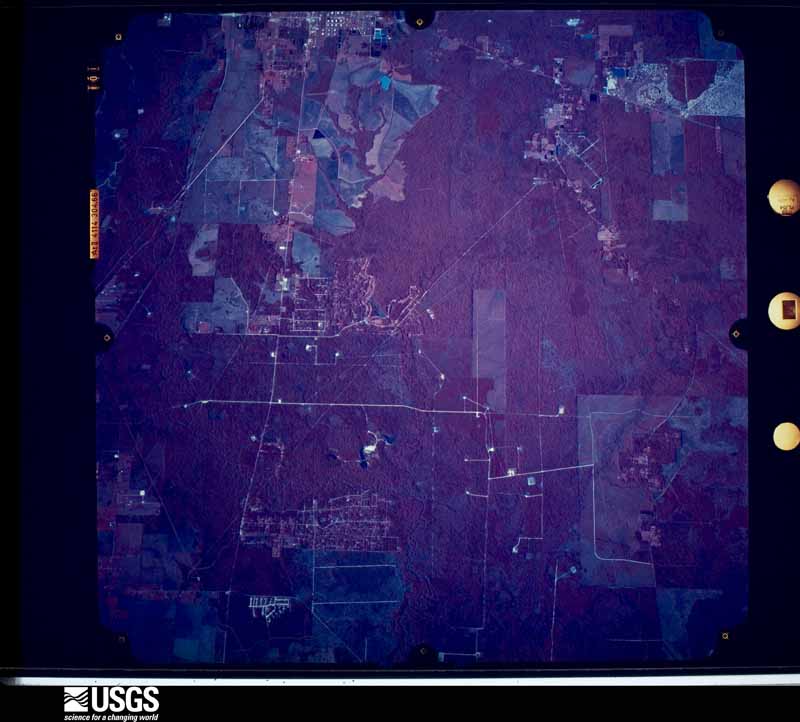
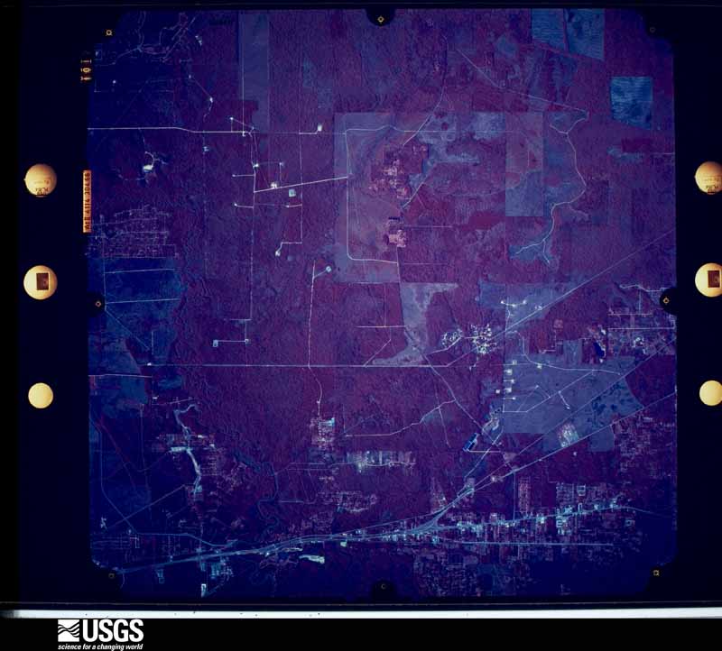
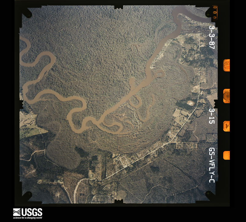
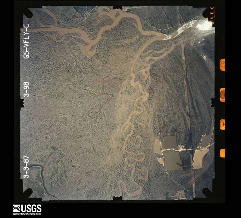
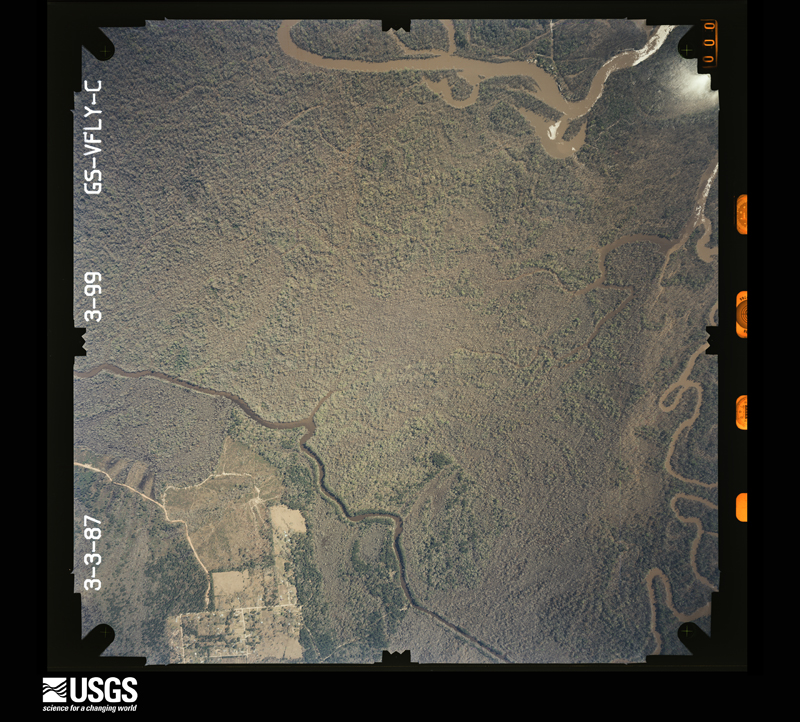
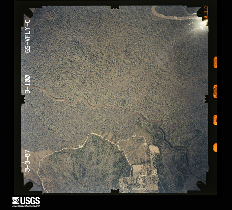
Flown by the U.S. Geological Survey between 1937 and 1989, the Aerial Photo Single Frames collection is the definitive mid-century view of the land: fields, roads and rivers as the camera saw them. The Survey holds 2,699 frames inside the rectangle that bounds this county; the 48 frames below were taken over the county itself, chosen across the decades of flights (at most four a year from that rectangle), so one flight cannot crowd out the rest. The full set is free to browse and download at EarthExplorer under the dataset Aerial Photo Single Frames.
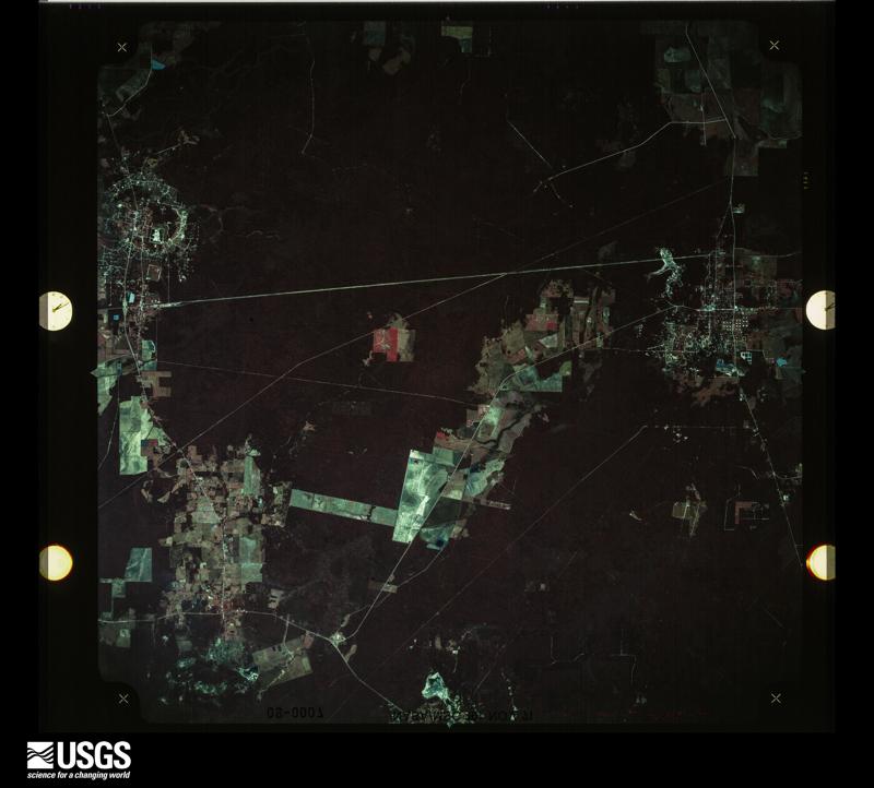
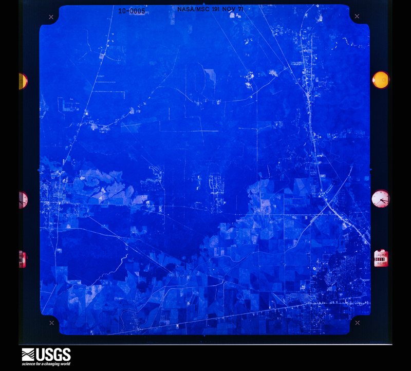
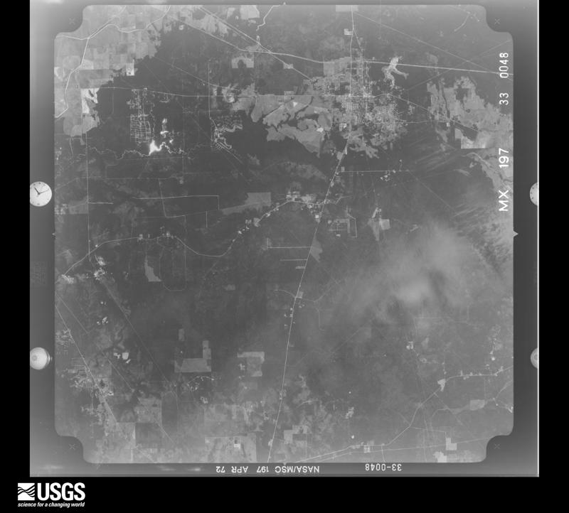
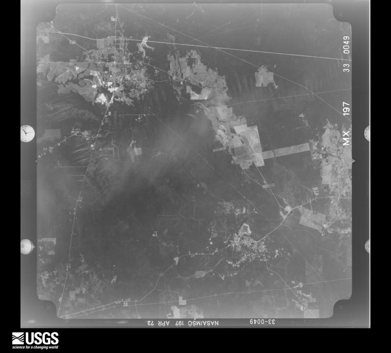


The thermometers that kept this county's weather, and the gages that measured the flow of its streams, as the federal records hold them. The extremes below are measured values from those records, not estimates.
Who lived here in 1950, one enumeration district at a time, as the Census Bureau described each district. Each row opens its official National Archives result, with Population Schedules and ED Maps available there.
Every wildfire the federal occurrence database records inside this county: 1,416 of them, burning about 37,020 acres. 115 started naturally and 420 were recorded as arson. Each settlement page carries the fires within five miles of it.
| Reported cause | Fires |
|---|---|
| Debris and open burning | 605 |
| Arson/incendiarism | 420 |
| Missing data/not specified/undetermined | 153 |
| Natural | 115 |
| Equipment and vehicle use | 36 |
| Recreation and ceremony | 29 |
| Misuse of fire by a minor | 18 |
| Smoking | 17 |
| Railroad operations and maintenance | 9 |
| Power generation/transmission/distribution | 7 |
| Fireworks | 6 |
| Other causes | 1 |
The five largest, by the area the report gives. Two of them were set deliberately.
| Date | Cause | Size | Reported by | Name on the report |
|---|---|---|---|---|
| 25 October 2010 | Natural | 1,820 acres | Livingston Area | LIVINGSTON - 418 |
| 8 June 2011 | Natural | 1,409 acres | Livingston Area | HONEY ISLAND FIRE |
| 20 February 1996 | Missing data/not specified/undetermined | 1,186 acres | Big Thicket National Park | 433-H/I/D |
| 27 July 2000 | Natural | 1,052 acres | Big Thicket National Park | UNION WELL |
| 4 June 2011 | Arson/incendiarism | 902 acres | Livingston Area | BURN WIRE FIRE |
| 6 September 2000 | Debris and open burning | 840 acres | Big Thicket National Park | TFS 692 |
| 19 February 1996 | Arson/incendiarism | 800 acres | Texas A & M Forest Service | not named |
| 13 April 2011 | Missing data/not specified/undetermined | 796 acres | Big Thicket National Park | POATOAK |
Every settlement page carries the fires within five miles of it - see the settlement index below.
The NOAA Storm Events Database holds 293 reports for this county, causing 2 deaths, 4 injuries and about $620,435,250 in recorded property damage. Each settlement page carries the reports that name it.
| Kind of event | Reports |
|---|---|
| Thunderstorm Wind | 117 |
| Hail | 91 |
| Flash Flood | 47 |
| Tornado | 27 |
| Flood | 6 |
| Lightning | 2 |
| Heavy Rain | 2 |
| Funnel Cloud | 1 |
The most serious of them, by death, then injury, then recorded damage. The accounts are quoted exactly as the forecast office filed them.
| When | Event | Place named | Harm | What the report says |
|---|---|---|---|---|
| February 2018 | Lightning | Honey Is | 1 killed, 1 hurt | A 22 year old male was struck by lightning while working on cattle fencing along Starlight Road near Honey Island. A 57 year old male was also hit sustaining 2nd degree burns. A nearby cow was knocked to the ground. |
| November 2004 | Tornado (F2) | Kountze | 1 killed, $500,000 | no account filed |
| October 2019 | Thunderstorm Wind | Kountze Silsbee Arpt | 1 hurt, $3,000,000 | A thunderstorm downburst produced wind gusts of 90 to 100 mph across parts of Hardin County from Kountze to Silsbee. Damage started around the Hwy 326/ Hwy 770 intersection southwest of Kountze, where numerous trees were snapped or uprooted. Part of the roof of the Hardin County Show Barn was ripped off. ||In Kountze, several trees were snapped or uprooted near the county courthouse. The intermediate school lost part of a metal roof on the gymnasium.||Further south, a church lost part of its roof on Hwy 96, and part of the roof at the Hawthorne Airport hangar came off. A small building near the airport was flipped over. A man that was in the building received minor injuries.||The Enchanted Forest subdivision near Silsbee was hit especially hard. Numerous trees were uprooted or snapped, with several homes having roof damage when trees landed on them. ||The area of damage was 7040 yards wide. |
| May 1996 | Thunderstorm Wind | Sour Lake | 1 hurt, $1,100,000 | no account filed |
| November 1994 | Tornado (F2) | Sour Lake | 1 hurt, $3,000 | A tornado touched down 1.5 miles NNW of Sour Lake and moved toward the northeast for 2 miles, crossing State Highway 326 in the process. It tracked across open fields and the only damage was to trees and fencing along the path. The tornado path averaged around 50 yards wide, increasing to nearly 0.5 miles wide at one point. The tornado was viewed by several hunters, one of whom was slightly injured when she was blown out of her stand as it passed nearby. |
| August 2017 | Flash Flood | Loeb | $600,000,000 | Widespread 20 to 40 inches fell across the county which resulted in near 10,000 homes being flooded. Worst hit areas were around Lumberton, Silsbee, Sour Lake, and Kountze. Record flooding occurred on Pine Island Bayou and Village Creek. The second highest crest of the Neches occurred at Evadale. The US Highway 96 bridge near Silsbee collapsed due to the current. |
| September 2019 | Flash Flood | Loeb | $8,000,000 | The first reports of flooding was received from Silsbee's Fire Department. Water was entering 2 homes and major street flooding was beginning. During the event numerous roadways and structures in the county became flooded. River and bayou flooding also lasted for several days especially along Pine Island Bayou. Rain totals were between 10 and 40 inches, with the highest amounts along the extreme southern part of the county. Between 50 and a 100 homes were flooded, mainly between Sour Lake and Pinewood Estates. |
| October 2015 | Flash Flood | Sour Lake | $2,000,000 | Heavy rain moved into Hardin County early during the morning of the 31st. Flooding of roadways with water at least 2 feet deep was reported in Silsbee by 6:15 AM. By 10:51 AM the Department of Highways reported that most roads in the county had water covering them and water rescues were ongoing by 11 AM according to the county police department near Silsbee and Kountze. Around 50 houses in the county were flooded. By the end of the event Reeves Elementary in Silsbee received 9.0 inches, Kountze Elementary received 9.71 inches, 11.58 inches was reported from West Hardin High School in Saratoga, and 14.25 reported at Highway 105 at Pine Island Bayou near Batson. |
| October 2006 | Flood | Lumberton | $2,000,000 | Two day rain totals of 12 to 18 inches resulted in long duration flooding across portions of Hardin County. The hardest hit areas were along near Village Creek near Lumberton, where many roads were flooded for almost a week and homes were cut off by high water. Between 20 to 25 homes near Brushy Creek had flood damage. Another 75 homes were damaged across the county. |
| August 2015 | Thunderstorm Wind | Kountze Silsbee Arpt | $500,000 | High winds from a microburst resulted in eight general aviation aircrafts breaking loose from tie downs and being picked up and thrown. One aircraft hangar was also damaged. |
| June 2001 | Flash Flood | Lumberton | $500,000 | Southern sections of Hardin County received between six and ten inches of rain in less than six hours, resulting in almost 40 homes flooded in rural portions of the Sour Lake to Lumberton area. |
| April 2024 | Flash Flood | Saratoga | $250,000 | Heavy rain flooded the roadways between Silsbee and Evadale and also between Saratoga and Thicket. Mill Creek also reached major flood stage and flooded many roads and several homes. |
| October 2015 | Flood | Batson | $250,000 | As rainwater drained toward Pine Island Bayou and Black Creek flooding continued in south portions of Hardin County for a few days. Around 15 homes flooded in Pinewood Estates while Pine Island Bayou crested. |
| February 1998 | Thunderstorm Wind | Silsbee | $250,000 | no account filed |
| October 1974 | Tornado (F2) | not stated | $250,000 | no account filed |
| March 1964 | Tornado (F2) | not stated | $250,000 | no account filed |
| March 2016 | Flash Flood | Fresenius | $150,000 | Multiple reports of flooded and closed roadways was received from Hardin County during the heavy rain event. The heaviest rain fell on the 10th when 3 to 6 inches of rain fell in the morning. At least 9 homes were flooded. |
| March 2016 | Flood | Village Mills | $100,000 | Heavy rain from the 9th and 10th pushed the Neches River into flood. Several structures were flooded along the river between Silsbee and Evadale. |
| May 2013 | Flash Flood | Ariola | $100,000 | Multiple rounds of heavy rainfall caused saturated ground that gave way to flash flooding. A neighborhood flooded in Lumberton with 2 homes taking on water. |
| November 2004 | Tornado (F1) | Honey Is | $100,000 | no account filed |
| November 2004 | Thunderstorm Wind | Lumberton | $100,000 | no account filed |
| October 2002 | Tornado (F1) | Lumberton | $100,000 | no account filed |
| November 2024 | Flash Flood | Kountze Silsbee Arpt | $75,000 | Water was reported over numerous roads in Lumberton. Rising water also caused multiple rescues, impassable roads, and several flooded homes. |
| November 2008 | Lightning | Sour Lake | $75,000 | Lightning struck a church educational building, destroying it. |
| February 2007 | Flash Flood | Lumberton | $50,000 | Between 10 and 20 homes had 1 to 3 inches of water in them after three to five inches of rain had fallen. |
| May 1999 | Tornado (F0) | Silsbee | $50,000 | no account filed |
| January 1998 | Thunderstorm Wind | Kountze | $50,000 | no account filed |
| May 2023 | Tornado (EF0) | Nona | $25,000 | A National Weather Service storm survey revealed that a tornado started near HWY 326. The tornado then moved about 6 miles to the southeast and ended near Rock Creek Ridge Road. Mostly tree damage was noted with minor roof damage. The maximum estimated winds were 80 mph. |
| August 2003 | Thunderstorm Wind | Lumberton | $25,000 | no account filed |
| August 1998 | Thunderstorm Wind | Silsbee | $25,000 | no account filed |
| October 1979 | Tornado (F1) | not stated | $25,000 | no account filed |
| December 1973 | Tornado (F1) | not stated | $25,000 | no account filed |
| May 1967 | Tornado (F2) | not stated | $25,000 | no account filed |
| October 2006 | Flash Flood | Fletcher | $20,000 | Highway 1293 was closed between Honey island and Thicket due to high water. Vehicles were stranded in the water. Water was approaching homes near Kountze. |
| October 2006 | Thunderstorm Wind | Saratoga | $20,000 | Trees and power lines were blown down. One tree landed on a house. |
| October 2001 | Thunderstorm Wind | Countywide | $20,000 | no account filed |
| October 2000 | Flood | Thicket | $20,000 | no account filed |
| December 1997 | Thunderstorm Wind | Batson | $20,000 | no account filed |
| April 2016 | Thunderstorm Wind | Kountze | $10,000 | Numerous trees and power lines were downed across Hardin County. |
| January 2012 | Tornado (EF0) | Village Mills | $10,000 | Several trees were blown down or snapped in half along sections of Post Oak Road, before dissipating on the east side of US Highway 69. |
| June 2011 | Thunderstorm Wind | Fletcher | $10,000 | Several trees and fences were blown down in Lumberton. |
| May 2008 | Thunderstorm Wind | Fletcher | $10,000 | Part of a tree came through the roof of a home. |
| February 2007 | Flash Flood | Sour Lake | $10,000 | Highway 105 between Bevil Oaks and Sour Lake was under water due to three to five inches of rain. |
| April 2006 | Thunderstorm Wind | Kountze | $10,000 | no account filed |
| April 2006 | Tornado (F0) | Kountze | $10,000 | no account filed |
| November 2003 | Thunderstorm Wind | Kountze | $10,000 | no account filed |
| November 2001 | Flash Flood | Sour Lake | $10,000 | no account filed |
| October 2001 | Tornado (F0) | Saratoga | $10,000 | no account filed |
| March 2000 | Thunderstorm Wind | Silsbee | $10,000 | no account filed |
| January 1999 | Thunderstorm Wind | Kountze | $10,000 | no account filed |
| January 1998 | Flash Flood | Lumberton | $10,000 | no account filed |
| October 1998 | Tornado (F0) | Sour Lake | $10,000 | no account filed |
| January 1998 | Flash Flood | Silsbee | $10,000 | no account filed |
| January 1997 | Thunderstorm Wind | Sour Lake | $10,000 | no account filed |
| December 1997 | Thunderstorm Wind | Silsbee | $10,000 | no account filed |
| September 1997 | Thunderstorm Wind | Village Mills | $10,000 | no account filed |
| September 1996 | Thunderstorm Wind | Saratoga | $10,000 | no account filed |
| February 2026 | Thunderstorm Wind | Ariola | $5,000 | Power poles were downed near Lumberton while a business had a sheet metal roof damaged in near Village Mills. |
| February 2026 | Thunderstorm Wind | Silsbee | $5,000 | Trees were downed onto a home and onto power lines around Silsbee. |
| April 2015 | Thunderstorm Wind | Fletcher | $5,000 | The Hardin County Sheriffs Department relayed a report of numerous trees and power lines down in Lumberton. |
The Survey's mineral resources record lists 4 workings inside this county. 1 still produces and 3 are closed or unrecorded. Each settlement page carries the workings within five miles of it.
| Commodity | Workings |
|---|---|
| Halite | 3 |
| Sand and Gravel, Construction | 1 |
The least common of them first, because a county's hundredth gravel pit says nothing its first ten did not.
| Where | Site | Commodity | Status | Recorded |
|---|---|---|---|---|
| Barry & Barry Pit Dredge | Sand and Gravel, Construction | Producer | ||
| Batson Salt Dome | Halite | Occurrence | 1903 | |
| Saratoga Salt Dome | Halite | Occurrence | 1901 | |
| Sour Lake Salt Dome | Halite | Occurrence | 1901 |
Named settlements recorded in the Geographic Names Information System, each with the topographic sheets covering it. Villages, hamlets and abandoned places alike. Each is shown with the nearest named watercourse or landform and the survey quadrangle it falls on.
Lumberton census division · 77657 · On Walton Creek · Silsbee quadrangle
13 sheets, 1954 to 1986
Silsbee census division · 77656 · On Cypress Creek · Deserter Baygall quadrangle
12 sheets, 1954 to 1986
Silsbee census division · 77656 · Near Deserter Island · Franklin Lake quadrangle
13 sheets, 1954 to 1986
Sour Lake census division · 77659 · On Jackson Creek · Nome quadrangle
11 sheets, 1954 to 1986
Sour Lake census division · 77659 · Near Horsepen Gully · Sour Lake quadrangle
12 sheets, 1954 to 1986
Kountze census division · 77625 · On Pea Monk Branch · Kountze South quadrangle
13 sheets, 1954 to 1986
Lumberton census division · 77657 · On Walton Creek · Silsbee quadrangle
13 sheets, 1954 to 1986
Sour Lake census division · 77659 · Near Clemmons Gully · Bevil Oaks quadrangle
12 sheets, 1954 to 1986
Saratoga-Batson census division · 77585 · Near Thorson Gully · Thorson Gully quadrangle
13 sheets, 1943 to 1986
Lumberton census division · 77657 · On Boggy Creek · Voth quadrangle
14 sheets, 1932 to 1993
Sour Lake census division · 77659 · Near Stockpen Prairie · Thorson Gully quadrangle
13 sheets, 1943 to 1986
Kountze census division · 77663 · On Walker Branch · Village Mills quadrangle
13 sheets, 1954 to 1986
Saratoga-Batson census division · 77376 · On Beaver Creek · Votaw quadrangle
14 sheets, 1943 to 1986
Kountze census division · 77663 · On Big Sandy Creek · Warren quadrangle
13 sheets, 1954 to 1992