 Block
BlockHaskell County, Texas
23 topographic sheets cover 14 settlements here.
Research this county
What the record shows
- 102 topographic sheet readings cover the county's settlements.
- The Geographic Names Information System records 15 populated places in this county; 14 are covered by at least one topographic sheet.
Bird's-eye views and land ownership maps
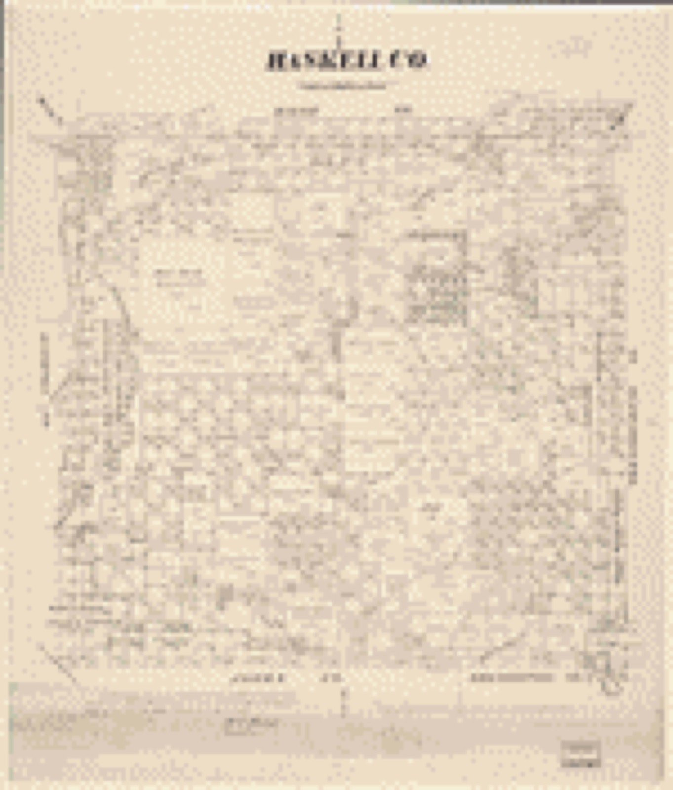
2Drawn when these were printed as single large sheets: the town seen from the air, and the county divided into its farms with every owner named. Each opens the original at the Library of Congress.
The county from the air
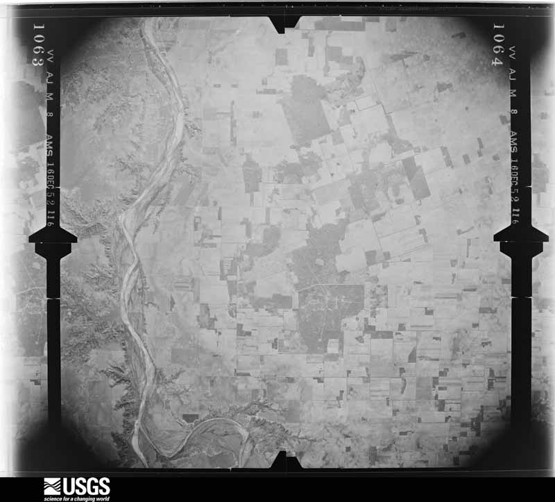
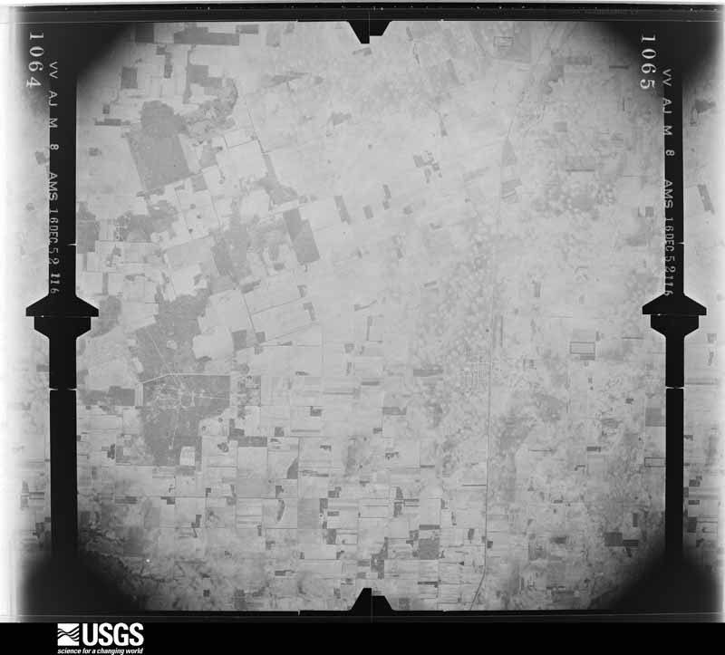
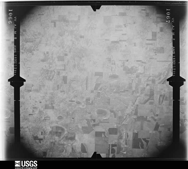
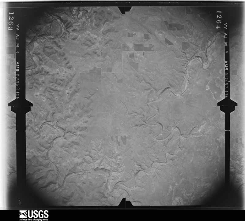
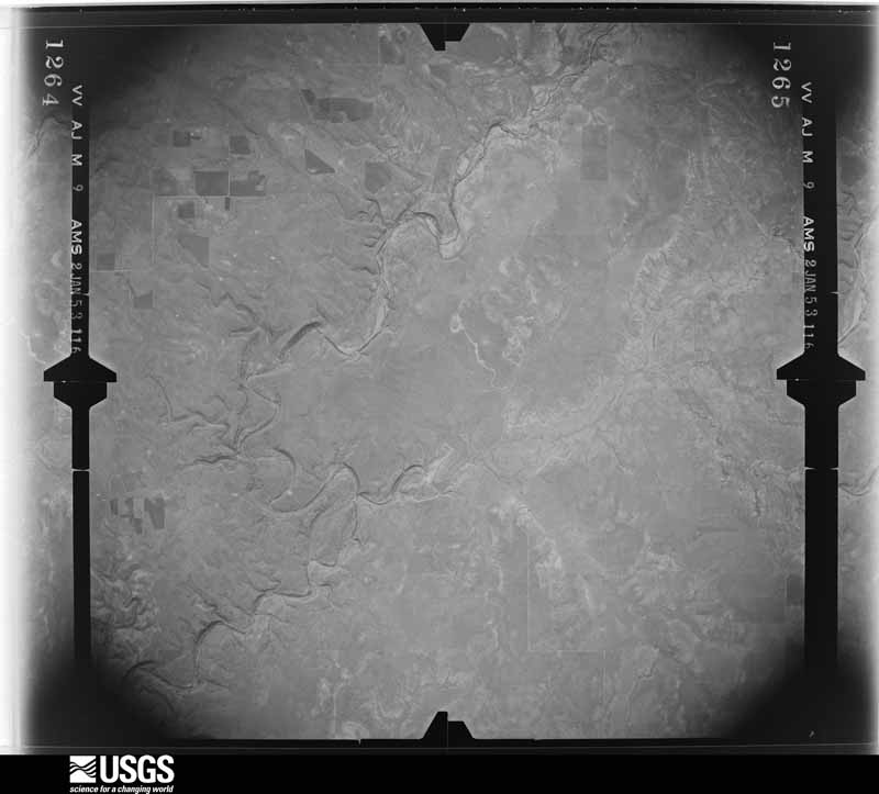
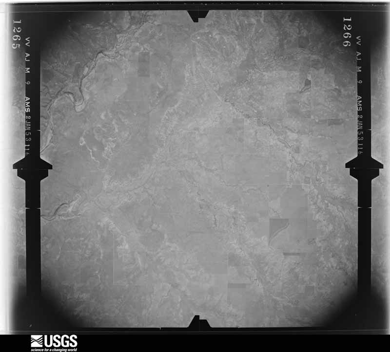
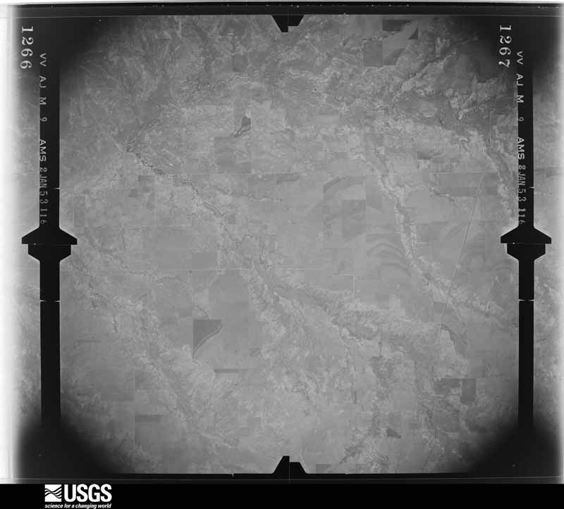
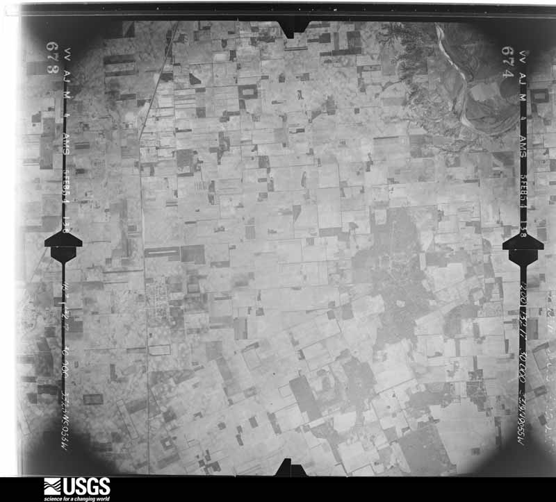
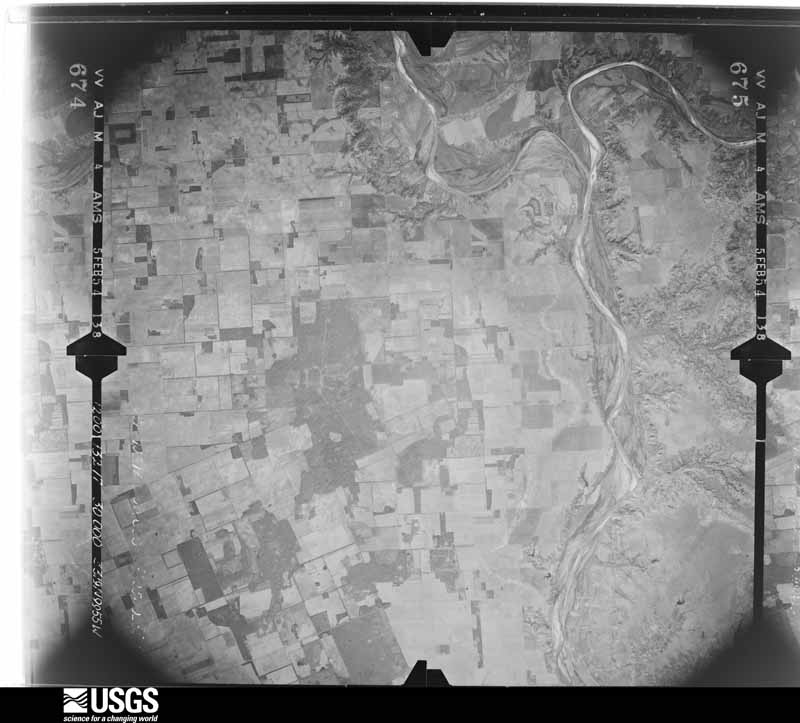
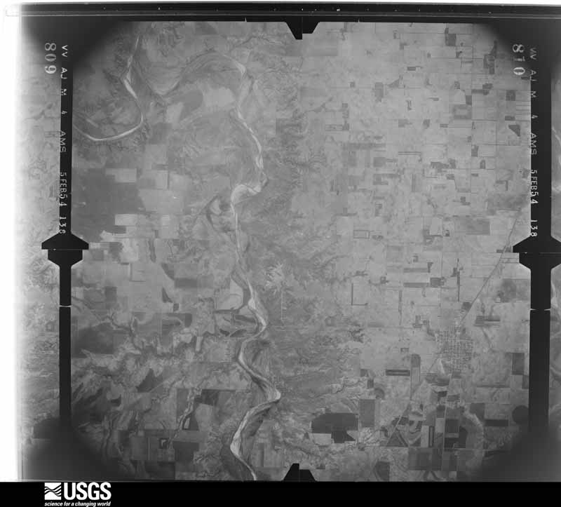
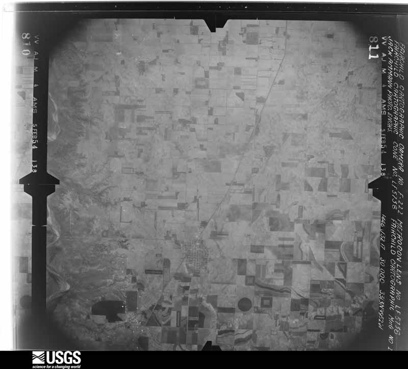
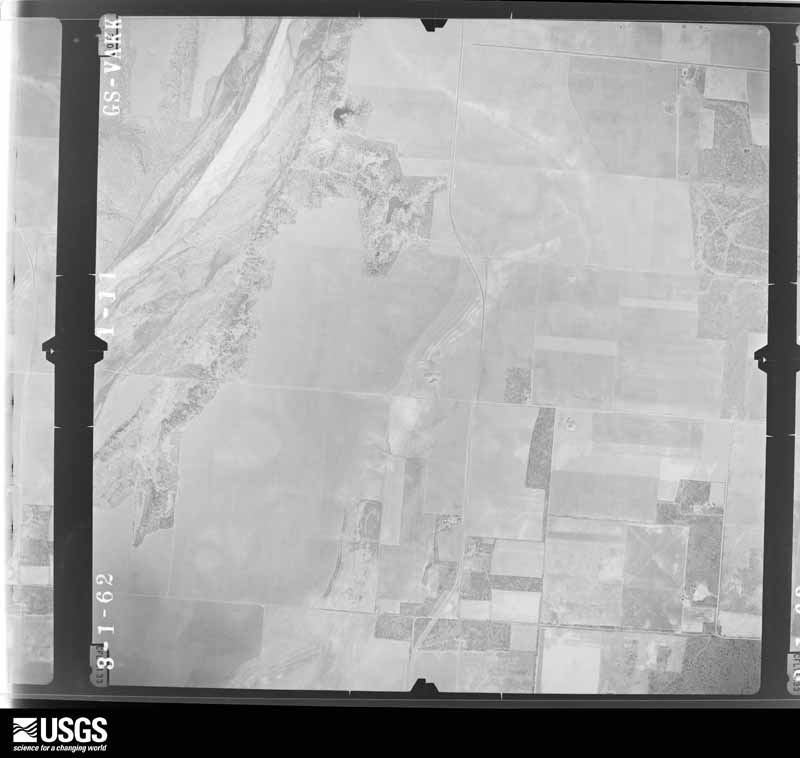
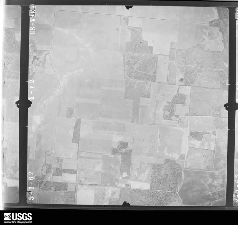
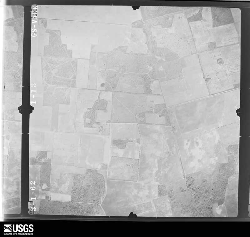
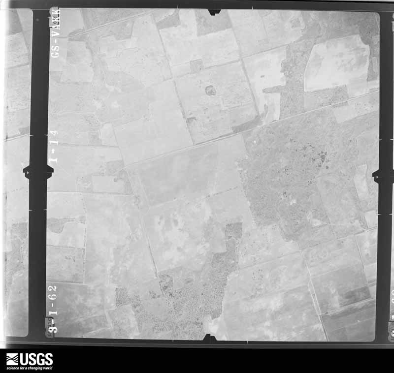
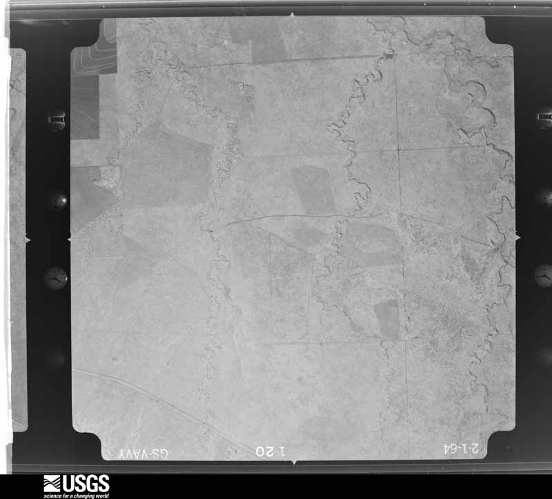
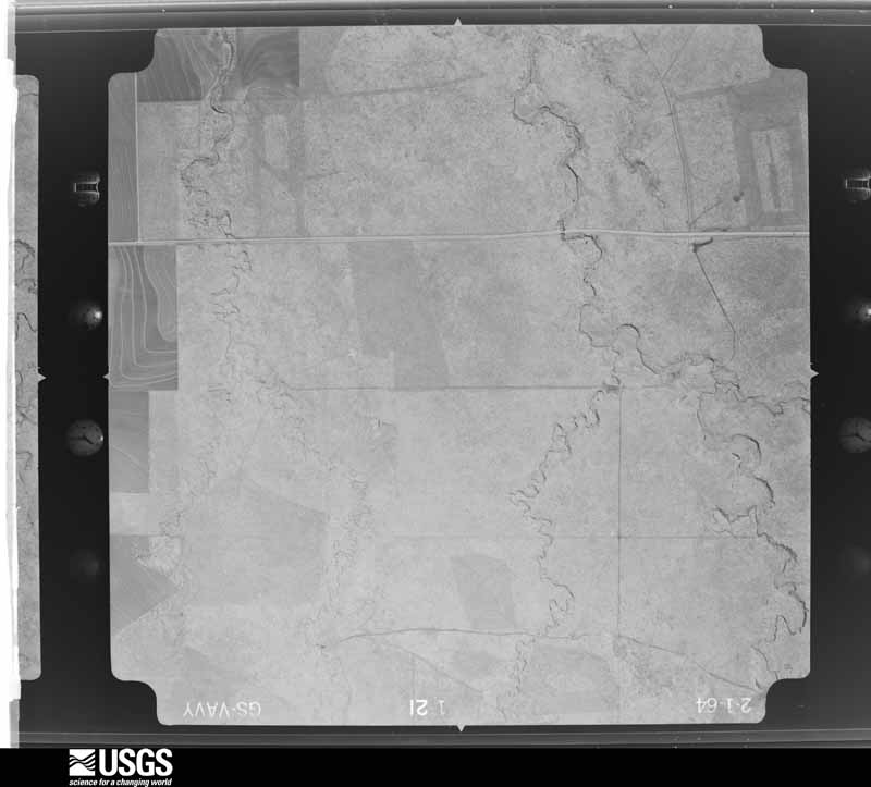
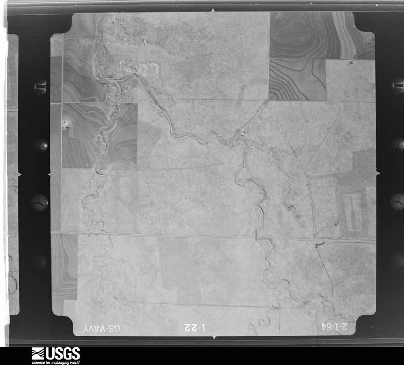
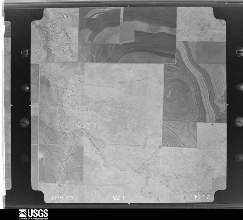
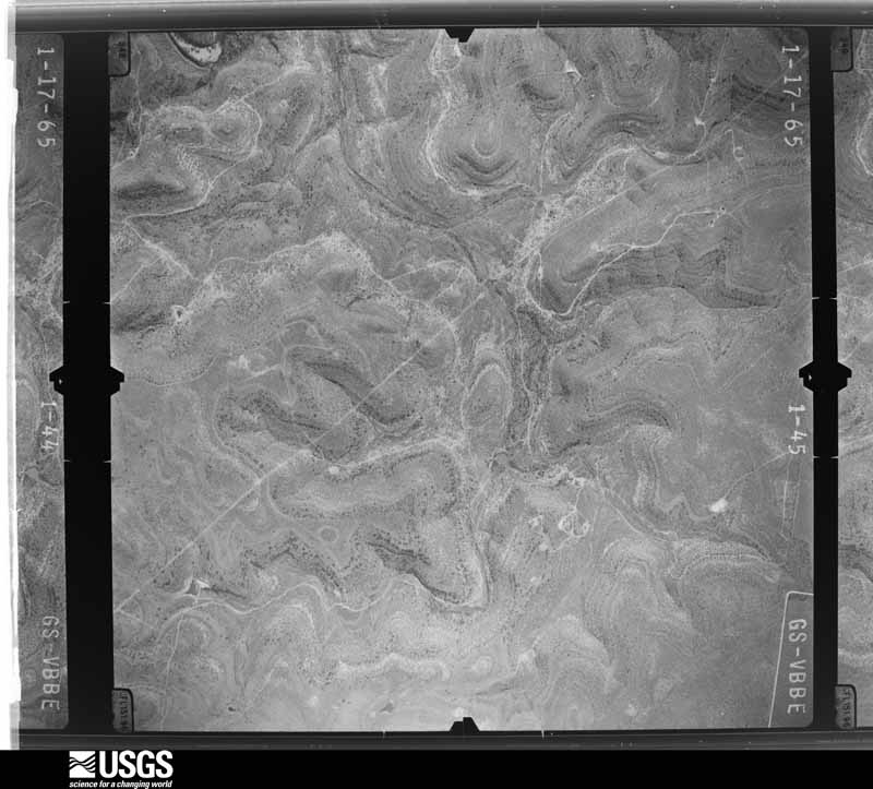
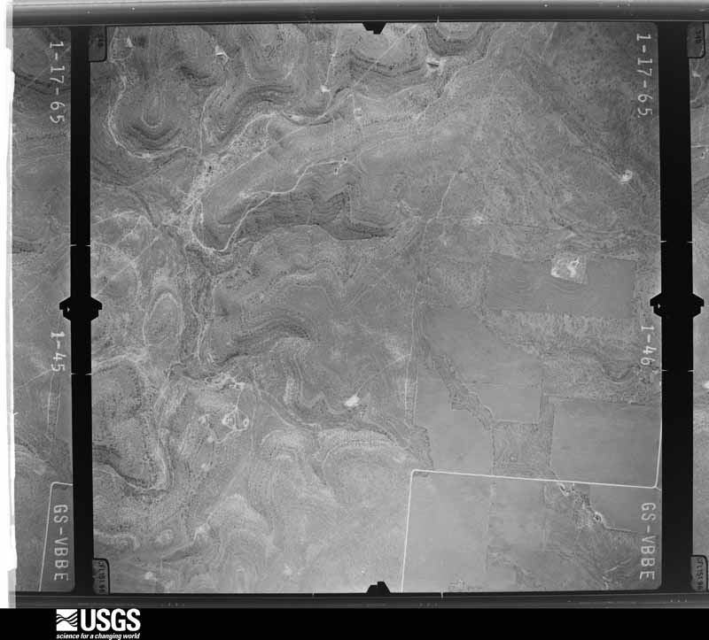
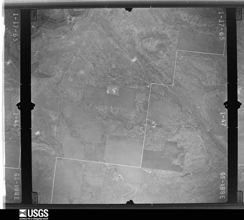
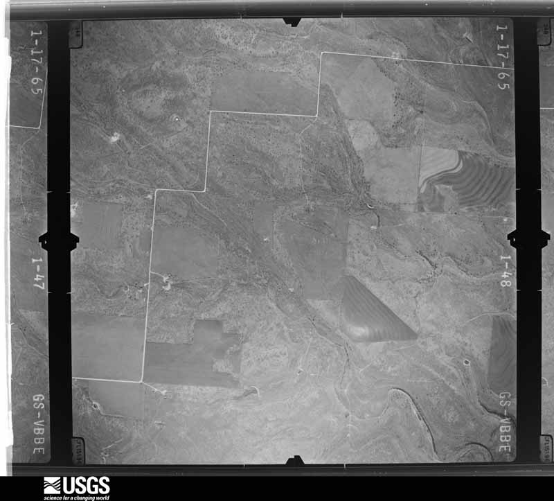
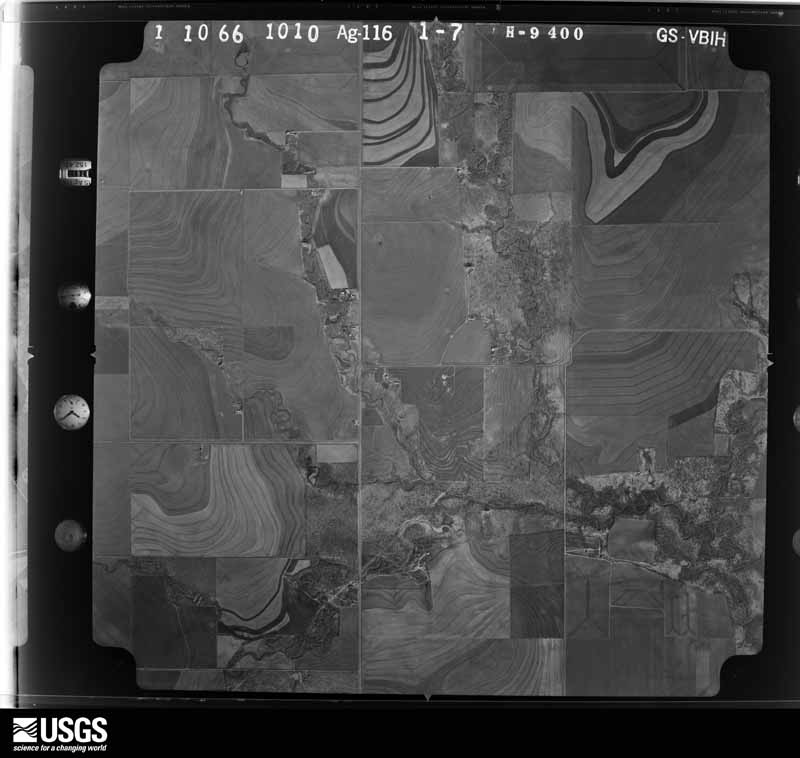
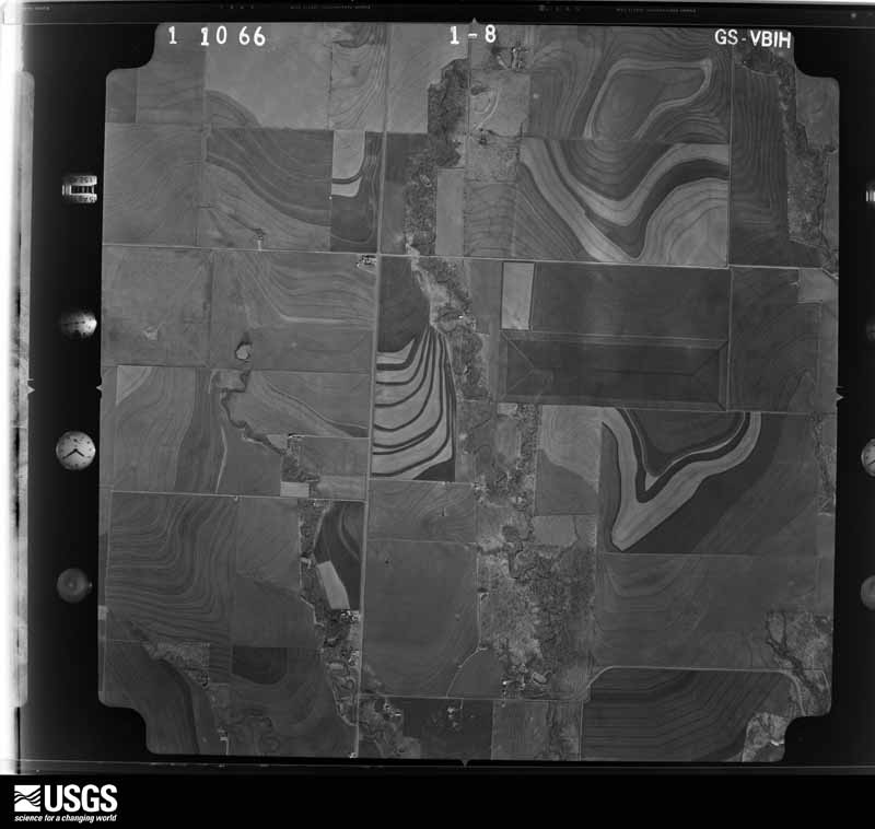
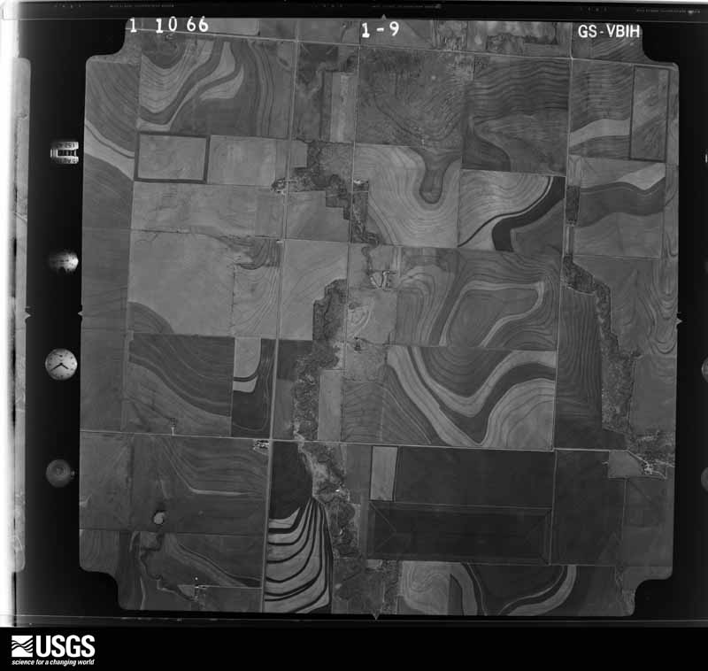
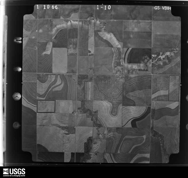
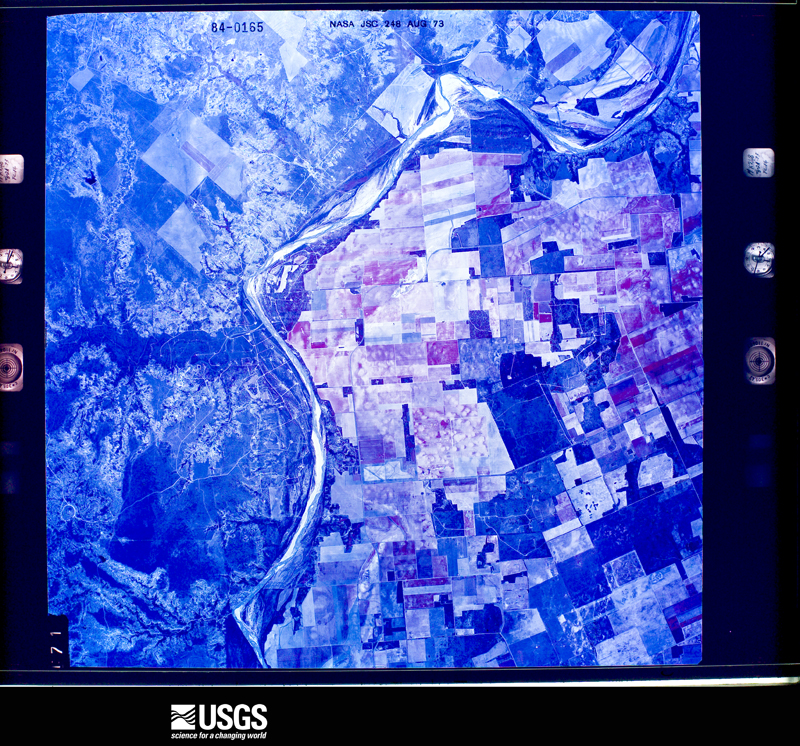
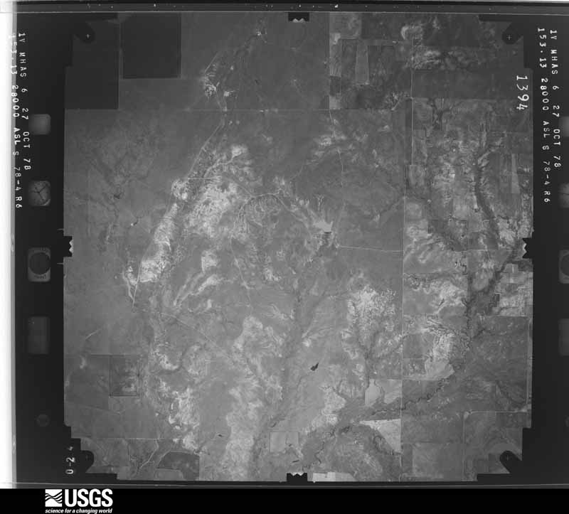
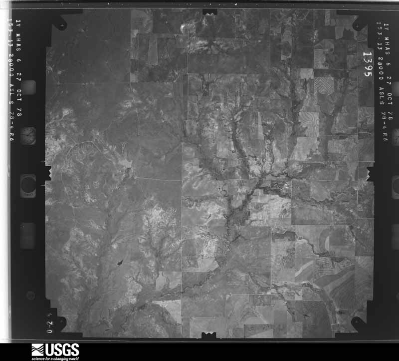
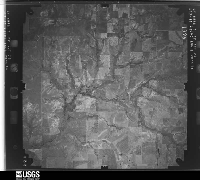
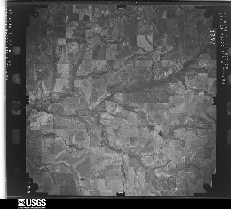
36 shownFlown by the U.S. Geological Survey between 1937 and 1989, the Aerial Photo Single Frames collection is the definitive mid-century view of the land: fields, roads and rivers as the camera saw them. The Survey holds 1,399 frames inside the rectangle that bounds this county; the 36 frames below were taken over the county itself, chosen across the decades of flights (at most four a year from that rectangle), so one flight cannot crowd out the rest. The full set is free to browse and download at EarthExplorer under the dataset Aerial Photo Single Frames.



Weather records
7 stations, 3 gagesThe thermometers that kept this county's weather, and the gages that measured the flow of its streams, as the federal records hold them. The extremes below are measured values from those records, not estimates.
- HASKELL 1893 to 2026, hottest 46.1 C, coldest -21.1 C
- MUNDAY 5 SSW 1939 to 1948
- HASKELL 6 NW 1941 to 1963, hottest 42.2 C, coldest 12.2 C
- HASKELL SCS 1943 to 1948, hottest 42.2 C, coldest -13.9 C
- HASKELL 0.8 NNW 2014
- STAMFORD 7.0 WSW 2016 to 2019
- RULE 0.5 NW 2017 to 2026
- Paint Ck nr Haskell, TX 1950 to 1951
- DMF Brazos Rv nr Rule, TX 2013 to 2025
- Lk Creek nr Weinert, TX 2013 to 2017
The 1950 census, district by district
22 districtsWho lived here in 1950, one enumeration district at a time, as the Census Bureau described each district. Each row opens its official National Archives result, with Population Schedules and ED Maps available there.
- 104-1Justice Precinct 1: Haskell city: Haskell city - That part Bounded by City limits; City limits; N. 2nd; Wichita Valley Railway
- 104-2Haskell city - That part Bounded by City limits; Wichita Valley Railway; N. 2nd; Ave. H
- 104-3Haskell city - That part Bounded by City limits; Ave. H; N. 2nd, Ave. O, N. 1st, State Hwy. 24; City limits
- 104-4Haskell city - That part Bounded by State Hwy. 24, N. 1st, Ave. O, N. 2nd; Ave. E; City limits; City limits
- 104-5Haskell city - That part Bounded by N. 2nd; City limits; City limits; Ave. E
- 104-6Justice Precinct 1 - That part east of Wichita Valley Railway and north of State Hwy. 24, outside Haskell city
- 104-7Justice Precinct 1 - That part northwest of Wichita Valley Railway, outside Haskell city
- 104-8Justice Precinct 1 - That part east of Wichita Valley Railway, south of State Hwy. 24, and north of Paint Creek, outside Haskell city
- 104-9Justice Precinct 1 - That part southeast of Paint Creek
- 104-10Justice Precinct 2: Weinert city
- 104-11Justice Precinct 2 - That part east of Wichita Valley Railway, outside Weinert city
- 104-12Justice Precinct 2 - That part west of Wichita Valley Railway, outside Weinert city
- 104-13Justice Precinct 4: Justice Precinct 4 - That part northeast of U.S. Hwy. 380 and east of State Hwy. 283
- 104-14Justice Precinct 4 - That part west of State Hwy. 283 and southwest of U.S. Hwy. 380
- 104-15Justice Precinct 5: Rochester town
- 104-16Justice Precinct 5 - That part east of Panhandle and Santa Fe Railway, outside Rochester town
- 104-17Justice Precinct 5 - That part west of Panhandle and Santa Fe Railway, outside Rochester town
- 104-18Justice Precinct 6: Rule town: Rule town - That part north of 7th
- 104-19Rule town - That part south of 7th
- 104-20Justice Precinct 6 - That part east of Panhandle and Santa Fe Railway, outside Rule town
- 104-21Justice Precinct 6 - That part west of Panhandle and Santa Fe Railway, outside Rule town
- 104-22Justice Precinct 7
Wildfire, 2004 to 2020
353 firesEvery wildfire the federal occurrence database records inside this county: 353 of them, burning about 23,216 acres. 28 started naturally and 18 were recorded as arson. Each settlement page carries the fires within five miles of it.
| Reported cause | Fires |
|---|---|
| Missing data/not specified/undetermined | 193 |
| Debris and open burning | 51 |
| Natural | 28 |
| Equipment and vehicle use | 27 |
| Smoking | 24 |
| Arson/incendiarism | 18 |
| Power generation/transmission/distribution | 8 |
| Recreation and ceremony | 2 |
| Misuse of fire by a minor | 2 |
The five largest, by the area the report gives. One of them was set deliberately.
| Date | Cause | Size | Reported by | Name on the report |
|---|---|---|---|---|
| 20 June 2011 | Missing data/not specified/undetermined | 4,632 acres | Texas A & M Forest Service | WEISE FIRE |
| 29 July 2019 | Natural | 2,466 acres | Texas A & M Forest Service | FLAT TOP |
| 16 July 2009 | Natural | 2,362 acres | Texas A & M Forest Service | SCOTTS CROSSING FIRE |
| 14 August 2008 | Missing data/not specified/undetermined | 1,700 acres | Texas A & M Forest Service | not named |
| 5 December 2019 | Debris and open burning | 950 acres | Texas A & M Forest Service | MATTHEWS |
| 30 September 2011 | Missing data/not specified/undetermined | 700 acres | Texas A & M Forest Service | CROOKED RIVER RANCH FIRE |
| 9 March 2008 | Missing data/not specified/undetermined | 700 acres | Texas A & M Forest Service | SANDERS FIRE |
| 9 March 2008 | Arson/incendiarism | 650 acres | Texas A & M Forest Service | not named |
Every settlement page carries the fires within five miles of it - see the settlement index below.
Storms, 1951 to 2026
60 of 574 shownThe NOAA Storm Events Database holds 574 reports for this county, causing 14 deaths, 33 injuries and about $11,198,500 in recorded property damage. Each settlement page carries the reports that name it.
| Kind of event | Reports |
|---|---|
| Hail | 295 |
| Thunderstorm Wind | 180 |
| Tornado | 58 |
| Flash Flood | 29 |
| Flood | 6 |
| Funnel Cloud | 4 |
| Lightning | 1 |
| Wildfire | 1 |
The most serious of them, by death, then injury, then recorded damage. The accounts are quoted exactly as the forecast office filed them.
| When | Event | Place named | Harm | What the report says |
|---|---|---|---|---|
| March 1953 | Tornado (F4) | not stated | 12 killed, 20 hurt, $2,500,000 | no account filed |
| June 2002 | Thunderstorm Wind | Lake Stamford | 1 killed, 2 hurt | Strong thunderstorm winds capsized a boat on Lake Stamford. Three people were in the boat at the time it capsized and one person drowned. |
| May 1951 | Tornado (F1) | not stated | 1 killed, $2,500 | no account filed |
| November 1958 | Tornado (F2) | not stated | 7 hurt, $250,000 | no account filed |
| September 1992 | Thunderstorm Wind | not stated | 2 hurt | no account filed |
| May 1962 | Tornado (F4) | not stated | 1 hurt, $2,500,000 | no account filed |
| April 1991 | Tornado (F3) | not stated | 1 hurt, $250,000 | no account filed |
| October 2018 | Flood | Rochester | $2,300,000 | TXDOT reported FM 617 between Rochester and Weinert closed due to flooding. Many other roads were affected across Haskell County. Prolonged heavy rainfall flooded roads across Haskell County and this flooding damaged some roads in the county. This damage and flooding was exasperated by all of the rainfall since September. |
| June 2009 | Tornado (EF2) | Rule | $1,000,000 | A National Weather Service survey team found a quarter mile wide EF2 tornado that tore the roof off of four homes and desroyed several outbuildings, irrigation sprinklers, and power poles. |
| April 2000 | Hail | Stamford | $250,000 | no account filed |
| May 1982 | Tornado (F2) | not stated | $250,000 | no account filed |
| September 1961 | Tornado (F0) | not stated | $250,000 | no account filed |
| September 1961 | Tornado (F3) | not stated | $250,000 | no account filed |
| April 1955 | Tornado (F2) | not stated | $250,000 | no account filed |
| August 2005 | Flash Flood | Rule | $200,000 | Another round of showers and thunderstorms on already saturated ground produced additional flooding in the community of Rule and flooded some homes. |
| May 2021 | Tornado (EF0) | Stamford | $100,000 | This EF-0 tornado with peak winds estimated at 85 mph began just west of U.S. Highway 277 where it damaged a roof of a home and broke many smaller to medium size Mesquite tree branches. It crossed U.S. Highway 277, broke more tree limbs and struck an auto and body shop. The tornado lifted a small steel metal building at the auto and body shop and threw it 75 yards. It broke tree branches and damaged the roof of a nearby building. The tornado also caused debris to penetrate a nearby metal building, and it damaged a nearby porch. |
| March 2004 | Tornado (F2) | Lake Stamford | $100,000 | Numerous manufactured homes were damaged or destroyed by the tornado along Lake Stamford. |
| April 2003 | Hail | Rule | $100,000 | Hail to the size of soft balls produced severe damage to vehicles. One horse was killed and trees were stripped of limbs. |
| June 1996 | Thunderstorm Wind | Rochester | $100,000 | no account filed |
| June 2004 | Thunderstorm Wind | Rochester | $80,000 | Winds estimated to near 100 MPH moved across northern portions of Haskell county damaging buildings, power lines and trees. |
| April 2003 | Hail | Haskell | $80,000 | Golf ball size hail produced damage to homes just south of Haskell. |
| April 2003 | Hail | Haskell | $80,000 | Hen egg size hail caused damage to several homes. |
| June 2004 | Thunderstorm Wind | Haskell | $50,000 | Numerous trees and power lines blown down. The radio station in Haskell measured a 89 MPH wind gust. |
| July 1997 | Thunderstorm Wind | Rochester | $50,000 | A downburst destroyed barns, blew down trees and power lines, and damaged homes. |
| May 1991 | Tornado (F1) | not stated | $25,000 | no account filed |
| May 1956 | Tornado (F1) | not stated | $25,000 | no account filed |
| May 1956 | Tornado (F1) | not stated | $25,000 | no account filed |
| May 1998 | Thunderstorm Wind | Rule | $15,000 | Drive-in theater destroyed |
| June 2009 | Thunderstorm Wind | Haskell | $10,000 | A telephone pole was reportedly blown down. |
| May 2007 | Tornado (EF1) | Haskell | $10,000 | A tornado developed from a thunderstorm on the northern end of a squall line. This tornado developed about five miles to the south of Haskell and then moved to the north northwest for about four and half miles. The tornado did strike a residence about 3 miles to the southwest of Haskell and damaged the roof. The glass in the home was blown out. A tractor was overturned and a cotton trailer rolled several times onto the road. |
| April 2003 | Hail | Sagerton | $10,000 | Golf ball size hail fell for several minutes. The hail produced some roof damage to area homes. |
| May 2003 | Tornado (F2) | Haskell | $10,000 | Spotters watched a large one quarter mile wide tornado that moved across the northeast portion of lake Stamford. This tornado came within yards of hitting the lake Stamford power plant, however it did knock down 11 transmission poles coming out of the power plant and eight distribution poles. This tornado was also filmed by a weather broadcaster from a local Abilene television station. |
| May 1999 | Hail | Sagerton | $10,000 | Large hail brought damage to the small community of Sagerton in northern Haskell County. Windows were broken across the town, while a church reported that 2 of its stained glass windows were also broken. |
| June 1999 | Thunderstorm Wind | Haskell | $10,000 | Winds estimated at 70 mph blew through the town of Haskell. Most of the damage was to a local hardware store, where outside merchandise was scattered up to one half mile away. Tree limbs were also snapped throughout the community. |
| May 2005 | Thunderstorm Wind | Rochester | $9,000 | no account filed |
| April 2003 | Hail | Haskell | $5,000 | State trooper reported damage to a vehicle. |
| June 2002 | Tornado (F0) | Stamford | $5,000 | A tornado developed over southern Haskell County just northwest of Stamford. This tornado moved to the southeast towards the town of Stamford. It uprooted trees and many birds were reported killed. |
| May 1998 | Thunderstorm Wind | Rule | $5,000 | An electric substation was damaged and several utility poles were blown down. |
| March 1995 | Thunderstorm Wind | Haskell | $5,000 | High winds blew a roof off a carport. |
| May 1993 | Thunderstorm Wind | Obrien | $5,000 | Thunderstorm winds blew down trees and power lines. |
| May 1993 | Thunderstorm Wind | Lake Stamford | $5,000 | Thunderstorm winds damaged a farm near Lake Stamford. |
| May 1993 | Thunderstorm Wind | Haskell | $5,000 | Power lines blown down by thunderstorm winds between Haskell and Rule. |
| April 1963 | Tornado (F2) | not stated | $2,500 | no account filed |
| June 1998 | Thunderstorm Wind | Rule | $2,000 | A hotel suffered extensive roof damage |
| June 1996 | Tornado (F0) | Haskell | $2,000 | no account filed |
| August 1996 | Thunderstorm Wind | O Brien | $2,000 | no account filed |
| May 2003 | Hail | Haskell | $1,000 | Softball size hail was reported about a mile north of the tornado. This hail caused roof damage to a local tavern and to several automobiles. |
| May 2003 | Tornado (F0) | Rule | $1,000 | A brief tornado touchdown was reported near the community of Rule. A car passing by at the time was damaged due to debris hitting the car. |
| April 2000 | Thunderstorm Wind | Irby | $1,000 | A barn lost parts of its roof as high winds struck the area. |
| April 1993 | Thunderstorm Wind | Haskell | $500 | West Texas Utilities reported power lines down on the west side of Haskell. |
| March 2026 | Thunderstorm Wind | Weinert | - | Measured 66 mph wind gust from West Texas Mesonet observation site. |
| May 2025 | Hail | Rule | - | Public reported quarter size hail. |
| May 2025 | Hail | Rule | - | Public reported ping pong ball size hail. |
| May 2025 | Hail | Sagerton | - | Public reporter ping pong ball size hail. |
| May 2025 | Tornado (EFU) | Stamford | - | TDEM CLO reported 2 brief tornado touchdowns. |
| May 2025 | Hail | Stamford | - | A trained spotter reported golf ball size hail. |
| May 2025 | Hail | Stamford | - | Public reported quarter size hail. |
| May 2025 | Hail | Stamford | - | Public reported quarter size hail. |
| May 2025 | Hail | Stamford | - | Public reported golf ball size hail. |
| April 2025 | Thunderstorm Wind | Haskell | - | A mesonet station reported a 66 mph wind gust northwest of Haskell. |
Mines and quarries
3 recordedThe Survey's mineral resources record lists 3 workings inside this county. None of them still produces: all are closed or unrecorded. Each settlement page carries the workings within five miles of it.
| Commodity | Workings |
|---|---|
| Copper | 3 |
The least common of them first, because a county's hundredth gravel pit says nothing its first ten did not.
| Where | Site | Commodity | Status | Recorded |
|---|---|---|---|---|
| Brushy Creek-1 | Copper | Occurrence | 1873 | |
| Roessler-1,2 | Copper | Occurrence | 1873 | |
| Roessler-3,4 | Copper | Occurrence | 1873 |
Every populated place in the county
15Named settlements recorded in the Geographic Names Information System, each with the topographic sheets covering it. Villages, hamlets and abandoned places alike. Each is shown with the nearest named watercourse or landform and the survey quadrangle it falls on.
-
Scott Crossing
Haskell census division · 79521 · On California Creek · Lake Stamford East quadrangle
8 sheets, 1954 to 1985
Provenance
- Topographic sheets. USGS Historical Topographic Map Collection, county index, measured from the bulk metadata.
- Fire insurance maps. Library of Congress Sanborn collection, faceted to this county.
- Photographs. Each place queried individually against the Library of Congress Prints and Photographs search.
- Wildfire. Short, Karen C. 2022. Spatial wildfire occurrence data for the United States, 1992-2020 [FPA_FOD_20221014]. 6th Edition. Fort Collins, CO: Forest Service Research Data Archive. https://doi.org/10.2737/RDS-2013-0009.6 Collected with United States Government funding and usable without additional permissions or fees.
- Mines and quarries. USGS Mineral Resources Data System (MRDS) https://mrdata.usgs.gov/mrds/ A work of the United States government, no copyright under 17 U.S.C. 105.
- Storms. NOAA National Centers for Environmental Information, Storm Events Database https://www.ncei.noaa.gov/stormevents/ A work of the United States government, no copyright under 17 U.S.C. 105. Narratives are quoted verbatim from the National Weather Service report and are not edited or summarised.