 Block
BlockFrom the record
1 National Register listing published here.
Sources: the National Register database, National Park Service
47 topographic sheets cover 63 settlements here, and 1 property is on the National Register of Historic Places.
1 National Register listing published here.
Sources: the National Register database, National Park Service
Every property in this county listed on the National Register of Historic Places, with the year it was listed and the federal nomination document.
| Photograph | Property | Type | Listed | Reference |
|---|---|---|---|---|
 | Hopkins County Courthouse | building | 1977 | 77001453 |
Drawn when these were printed as single large sheets: the town seen from the air, and the county divided into its farms with every owner named. Each opens the original at the Library of Congress.

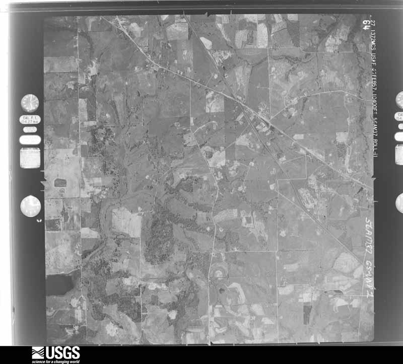
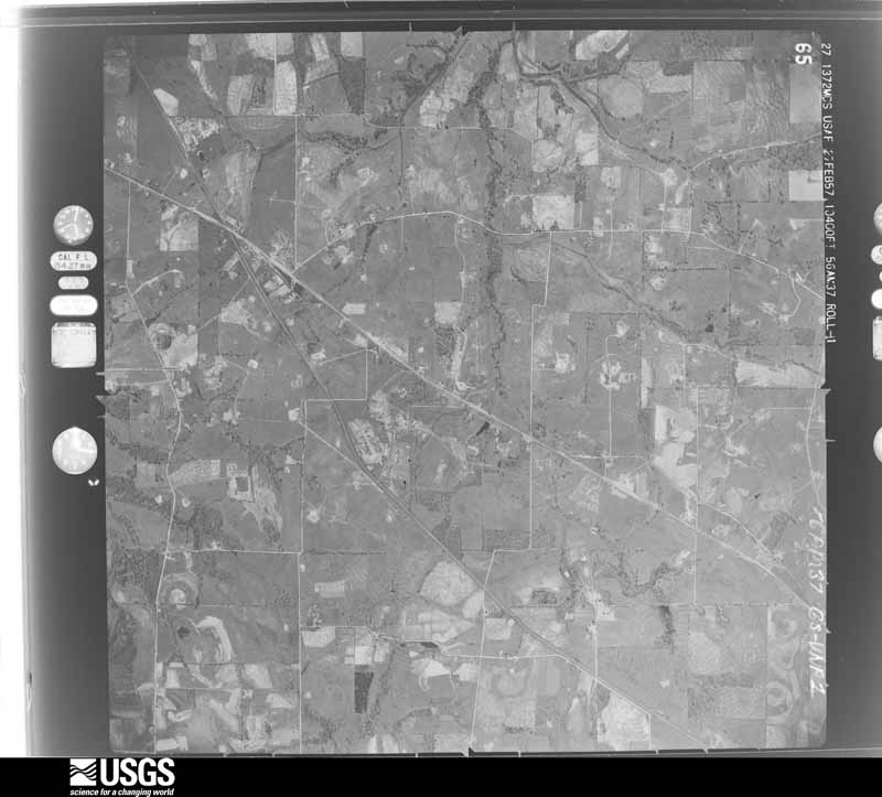
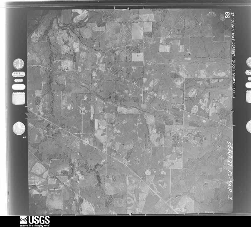
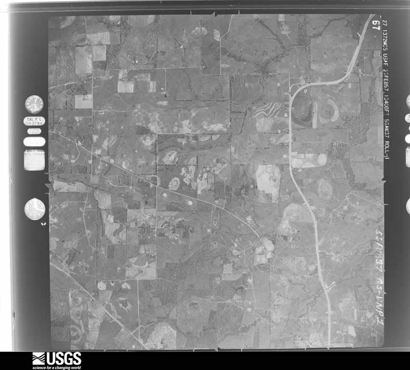
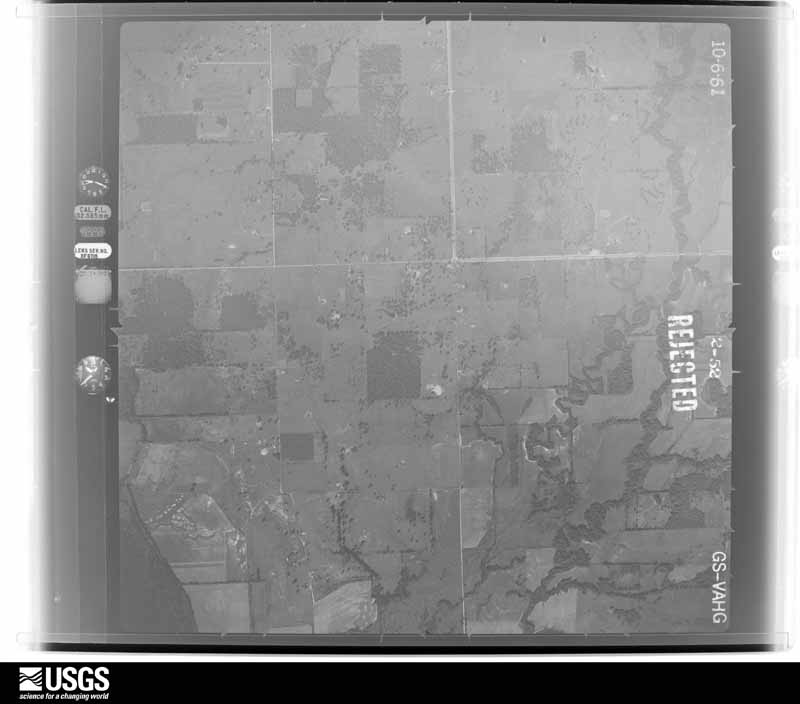
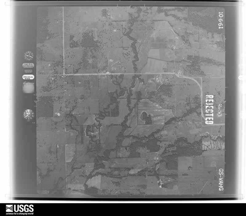
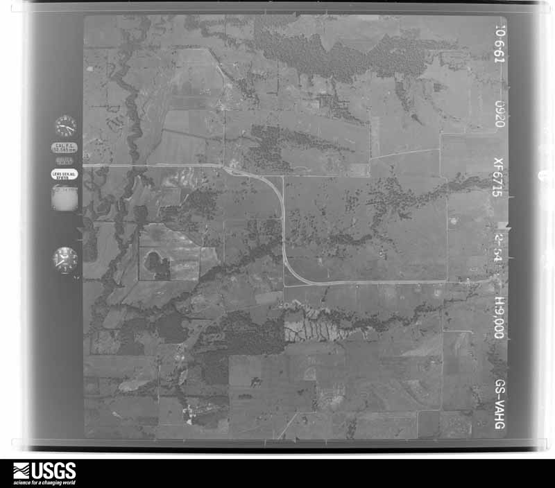
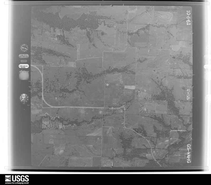
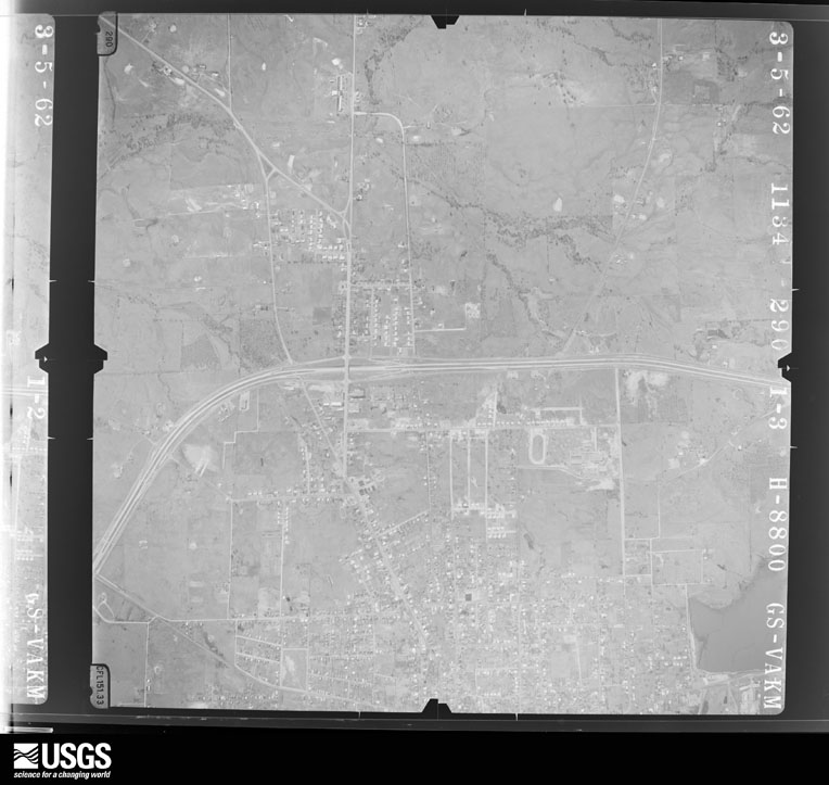
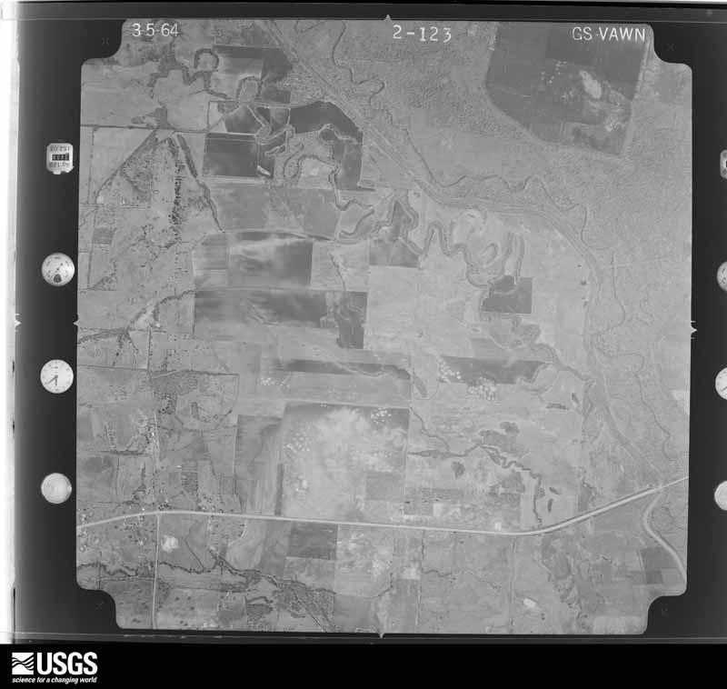
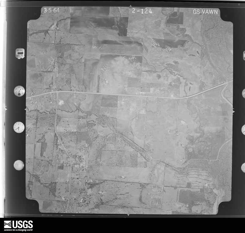
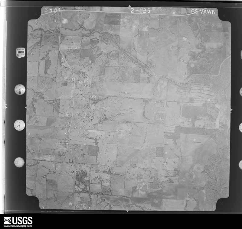
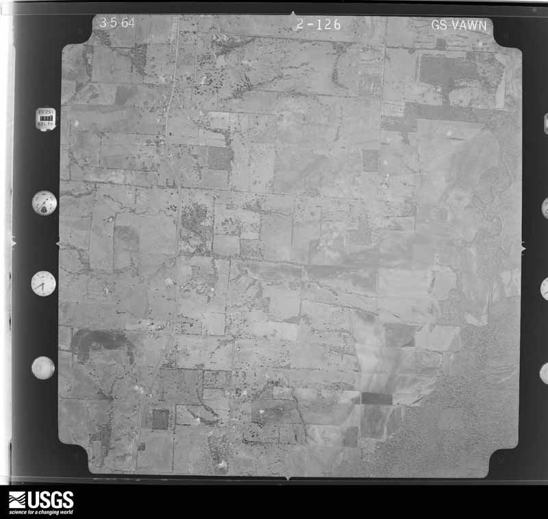
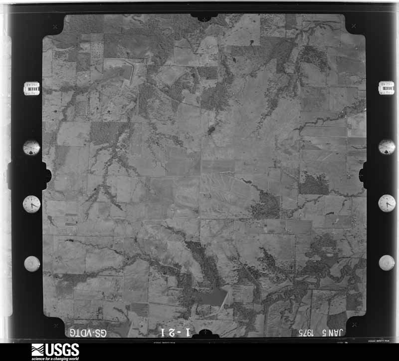
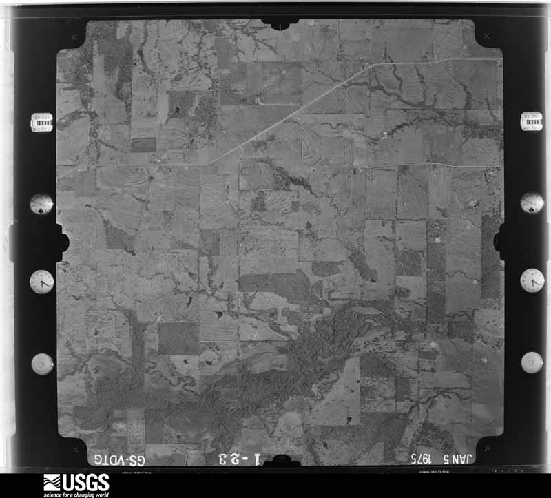
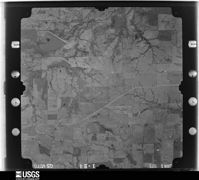
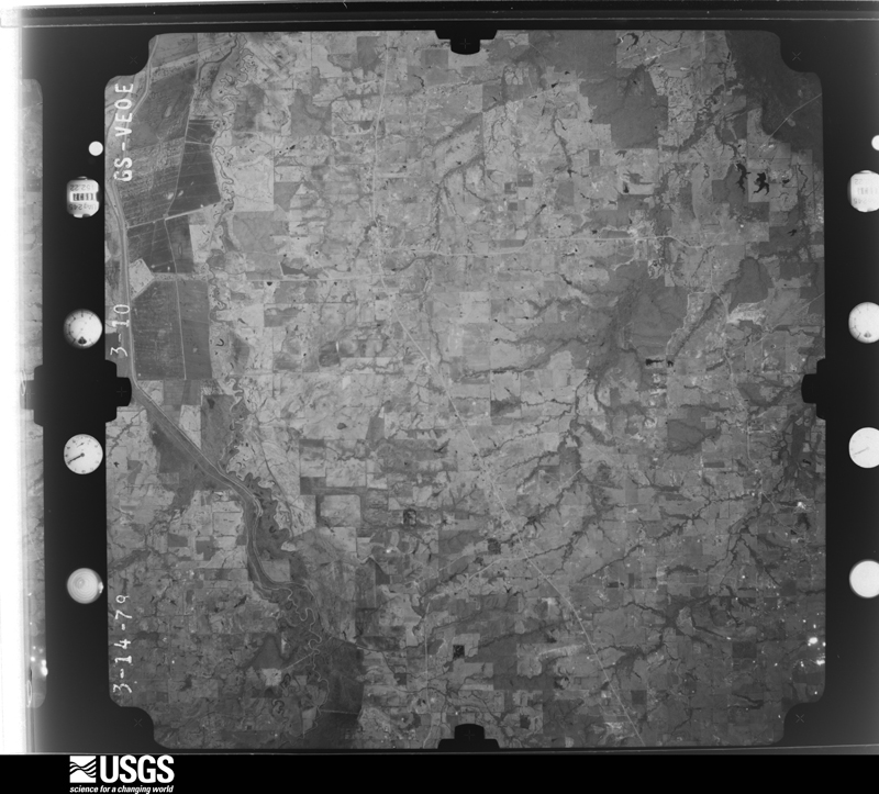
Flown by the U.S. Geological Survey between 1937 and 1989, the Aerial Photo Single Frames collection is the definitive mid-century view of the land: fields, roads and rivers as the camera saw them. The Survey holds 958 frames inside the rectangle that bounds this county; the 40 frames below were taken over the county itself, chosen across the decades of flights (at most four a year from that rectangle), so one flight cannot crowd out the rest. The full set is free to browse and download at EarthExplorer under the dataset Aerial Photo Single Frames.




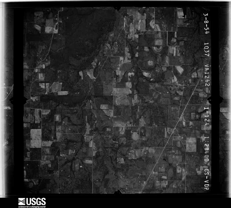
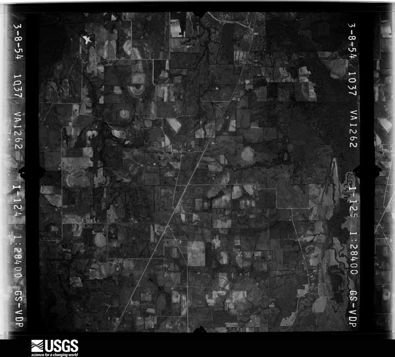
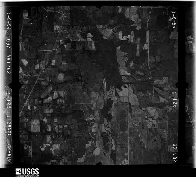
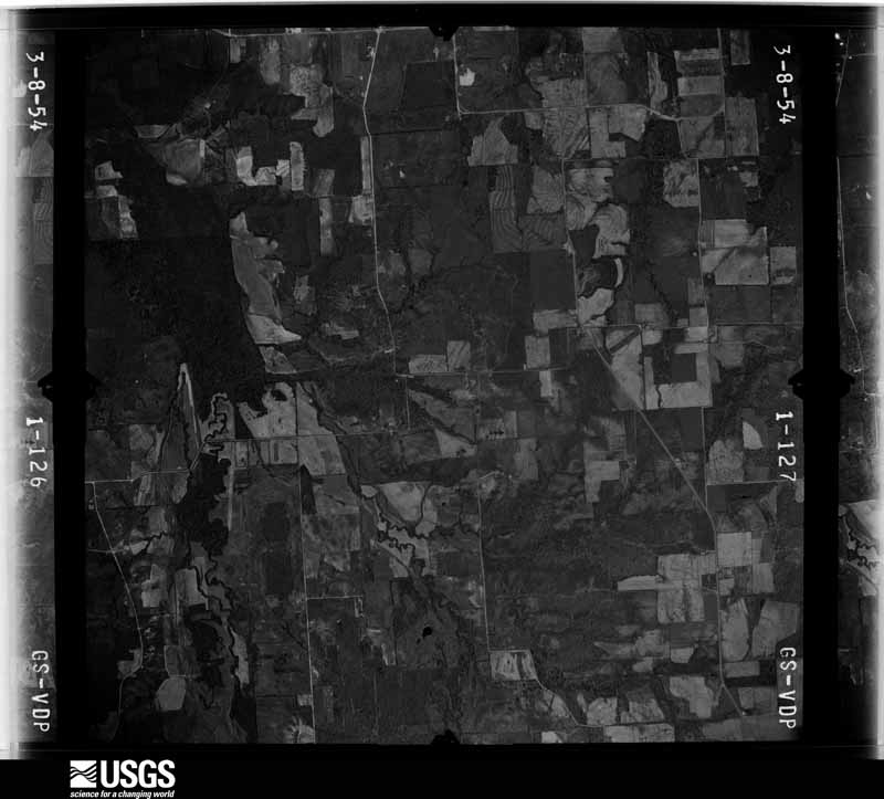















The thermometers that kept this county's weather, and the gages that measured the flow of its streams, as the federal records hold them. The extremes below are measured values from those records, not estimates.
Who lived here in 1950, one enumeration district at a time, as the Census Bureau described each district. Each row opens its official National Archives result, with Population Schedules and ED Maps available there.
Every wildfire the federal occurrence database records inside this county: 416 of them, burning about 5,049 acres. 6 started naturally and 11 were recorded as arson. Each settlement page carries the fires within five miles of it.
| Reported cause | Fires |
|---|---|
| Debris and open burning | 199 |
| Missing data/not specified/undetermined | 135 |
| Equipment and vehicle use | 50 |
| Arson/incendiarism | 11 |
| Smoking | 7 |
| Natural | 6 |
| Power generation/transmission/distribution | 4 |
| Recreation and ceremony | 2 |
| Fireworks | 2 |
The five largest, by the area the report gives. One of them was set deliberately.
| Date | Cause | Size | Reported by | Name on the report |
|---|---|---|---|---|
| 26 August 1999 | Missing data/not specified/undetermined | 250 acres | Texas A & M Forest Service | not named |
| 23 September 2005 | Debris and open burning | 190 acres | Texas A & M Forest Service | LINDEN - 391 |
| 2 October 2006 | Equipment and vehicle use | 160 acres | Texas A & M Forest Service | LINDEN - 666 |
| 6 December 2005 | Arson/incendiarism | 150 acres | Texas A & M Forest Service | LINDEN - 533 |
| 22 March 2009 | Debris and open burning | 150 acres | Texas A & M Forest Service | CR 1175 |
| 25 November 2008 | Debris and open burning | 142 acres | Texas A & M Forest Service | LINDEN - 180 |
| 17 February 2013 | Debris and open burning | 120 acres | Texas A & M Forest Service | 2436 FM 1567 E |
| 1 January 2008 | Debris and open burning | 96 acres | Texas A & M Forest Service | LINDEN - 6 |
Every settlement page carries the fires within five miles of it - see the settlement index below.
The NOAA Storm Events Database holds 508 reports for this county, causing no deaths, 11 injuries and about $39,448,200 in recorded property damage. Each settlement page carries the reports that name it.
| Kind of event | Reports |
|---|---|
| Thunderstorm Wind | 230 |
| Hail | 182 |
| Flash Flood | 48 |
| Tornado | 35 |
| Flood | 10 |
| Heavy Rain | 2 |
| Lightning | 1 |
The most serious of them, by death, then injury, then recorded damage. The accounts are quoted exactly as the forecast office filed them.
| When | Event | Place named | Harm | What the report says |
|---|---|---|---|---|
| April 2003 | Hail | Sulphur Spgs | 3 hurt | Three persons injured by baseball size hail. |
| April 2000 | Tornado (F0) | Tira | 2 hurt, $25,000 | Extensive damage from a possible tornado. The damage path was apparently intermittent as it paralleled F.M. 1536 from Tira to one mile north of Nelta; a distance of around four miles. A barn was destroyed and numerous trees and fences were damaged. Minor damage was reported on two homes. Two minor injuries from flying glass were also reported. |
| May 2009 | Heavy Rain | Sulphur Spgs | 2 hurt, $7,000 | A car overturned onto its top on SH 19 near the Pilot Travel Center. Two people were taken to the hospital including one child. |
| October 1974 | Tornado (F2) | not stated | 1 hurt, $2,500,000 | no account filed |
| April 2014 | Tornado (EF0) | Cold Ran | 1 hurt, $425,000 | A National Weather Service damage survey crew determined a tornado produced EF1 damage in northern Hopkins County, near the city of Birthright. This tornado caused damage to several homes and businesses, including the Birthright Volunteer Fire Department building. A total of 76 houses or businesses were damaged in this tornado. |
| March 1961 | Tornado (F2) | not stated | 1 hurt, $25,000 | no account filed |
| January 1960 | Tornado (F2) | not stated | 1 hurt, $2,500 | no account filed |
| June 2023 | Thunderstorm Wind | Como | $29,000,000 | A NWS survey team determined a combination of straight line winds and microbursts caused damage in and around the Como area of Hopkins County. Notable damage was first observed west of Como on FM 1567 where two homes sustained minor roof damage and notable tree damage was observed. Scattered tree damage continued southeast into and east of Como. An embedded microburst is believed to have caused more significant damage to metal buildings at a county-owned facility on Highway 11 and to the Como-Pickton ISD facilities. Maximum estimated winds in the area were determined to be around 95 mph at the ISD facilities. A local weather station also reported a 87 mph wind speed to the east of Como. Local officials reported that the monetary damage to the ISD facilities was near $28 million. |
| November 2022 | Tornado (EF2) | Greenview | $1,000,000 | According to eyewitness and video the second tornado started in a field west of County Road 1164. It moved northeast striking a home at the intersection of CR 3389 and FM 1567. This home sustained EF2 damage when the winds took the roof and attic off the house. The tornado continued NE across open field before striking a few homes off of CR 1181. One home along 1181 sustained EF2 damage and was pushed off its support. Two more homes were damaged on the east side of 1181, and the tornado dissipated soon after. Maximum estimated winds were 120 mph. |
| January 2010 | Tornado (EF0) | Sulphur Spgs | $750,000 | A NWS storm survey found evidence of a tornado in a sub-division 2 miles east of Sulphur Springs. Around 50 homes suffered some degree of roof damage, two of which sustained more severe damage after being impaled by large tree branches. This damage was consistent with the rating of an EF-0 with wind speeds around 80 to 85 mph. |
| March 2025 | Thunderstorm Wind | Tedrag | $500,000 | A survey team found areas of enhanced wind damage northwest of Sulphur Springs in Hopkins County. Most of the observed damage was consistent with wind speeds around 90 mph. The most significant damage was observed at the Cross Spur Arena where the front of a metal structure was uplifted, causing the front of the structure to collapse. This damage was consistent with maximum wind speeds of 95 mph. Significant tree damage was also observed near the Cross Spur Arena and along County Road 4760 and County Road 4763. None of this damage was convergent and generally in an east to north direction. A few additional swaths of notable damage were found along County Road 4759 and County Road 4763 where snapped and uprooted trees were observed along with roof/siding damage at a few homes. A mobile home on County Road 4761 had its roof removed, but all walls remained standing. Review of the damage and all available radar evidence, all suggest the Hopkins County damage was the result of locally enhanced straight-line winds. Most of the more notable damage occurred in areas of notches or bows along the leading edge of the morning storms, which is where locally enhanced winds typically occur that can cause higher-end damage. |
| March 2004 | Thunderstorm Wind | Countywide | $350,000 | Widespread rural damage occurred, mainly in the eastern part of the county. 8 homes were destroyed, 13 were heavily damaged, and 27 sustained moderate damage. |
| May 2015 | Thunderstorm Wind | Sulphur Spgs | $325,000 | Amateur radio operators estimated winds between 60 and 70 mph in Sulphur Springs. Several trees were blown over, and numerous carports were damaged. Additionally, the Sulphur Springs airport had several airplanes moved or damaged as a result of the storm. |
| November 2022 | Thunderstorm Wind | Pickton | $300,000 | A dairy farm on CR 2408 was damaged and several trees were snapped in the same area. Sheets of tin roofing were blown off the buildings on the farm, and a large barn was destroyed. |
| May 2024 | Hail | Brinker | $250,000 | Law enforcement reported 3-inch diameter hail 6 miles north of Como. |
| October 2010 | Lightning | Sulphur Spgs | $250,000 | A lightning strike started a house fire at CR 2310 and FM 1870 east-southeast of Sulphur Springs. The upper story was engulfed in flames at one point and the home was heavily damaged. One person was treated at the scene with minor injuries. |
| March 2008 | Tornado (EF1) | Posey | $250,000 | The National Weather Service in Fort Worth conducted a damage survey and found that an EF-1 tornado occurred north of Sulphur Springs. Damage was first noted west of Highway 19, along the northbound part of CR 4761. Trees and a shed were damaged. Along Highway 19 and between CR 3620 and CR 4508, several trees were snapped and power lines were damaged. More significant damage occurred along CR 4508 where several homes and a barn sustained damage. Most of the damage to houses was confined to the roofs. A shed was destroyed and debris from it struck a lightpole. The impact along with the strong winds bent the lightpole to the ground. A semi trailer was blown over and trees snapped along FM 3236 and CR 4510. Additional trees were damaged north of CR 3510 and east of FM 3236. Maximum winds were estimated at 85-90 MPH. |
| October 1980 | Tornado (F2) | not stated | $250,000 | no account filed |
| April 1979 | Tornado (F2) | not stated | $250,000 | no account filed |
| April 2016 | Flash Flood | Miller Grove | $200,000 | A series of thunderstorms producing heavy rain resulted in flash flooding across Hopkins County and in Sulphur Springs. By 4 pm, it was reported that a number of main roads in Sulphur Springs were flooded and cars were already stalling in the high water in some locations. Other side streets were also impassable in the afternoon and/or evening hours. The local fire department reported swift water rescues on Buford Circle, Main Street at League Street, and MLK Drive. Outside of the city, several county roads were reported impassable with vehicles also stalled in high water. Near Como, one lady was rescued when her car was swept off the road by rising flood waters in the evening hours. Other county roads that were reported flooded were CR 4759, FM 1567, CR 2436 near Como, FM 2653, FM 69, CR 4582, SH 19 south, CR 4762, CR 3568, CR 3504 and CR 3236. |
| May 2007 | Thunderstorm Wind | Miller Grove | $150,000 | Dozens of trees, large tree limbs, power poles, and power lines were downed across the western half of the county. The roof of a barn was blown off onto State Highway 11, and a tree fell on a house on Cranford Street. |
| March 2004 | Thunderstorm Wind | Como | $150,000 | The Bain Poultry Farm had 6-500 foot long poultry barns destroyed, 80,000 baby chicks were killed,and there was heavy damage to a dairy barn. Several area homes had roof and structural damage, and several barns were destroyed, and trees and powerlines were blown down. |
| May 2003 | Thunderstorm Wind | Cumby | $150,000 | Barns were blown down, trees blown onto houses and utility poles down in a widespread area around Cumby southwest to Lone Oak in Hunt County. |
| March 2000 | Hail | Sulphur Spgs | $116,000 | no account filed |
| June 2019 | Hail | Brinker | $100,000 | Amateur radio reported baseball size hail approximately 6 miles east of the city of Sulphur Springs, TX. |
| November 2014 | Heavy Rain | Sulphur Spgs | $100,000 | A tour bus, carrying seven people, lost control and hit a bridge pillar on Interstate 30 during rainy conditions. Four people on the bus were injured. The bus, and the bridge pillar suffered damages as well. |
| January 2010 | Tornado (EF0) | Greenview | $100,000 | A NWS Storm Survey found evidence of a tornado touchdown approximately 4 miles southwest of Sulphur Springs and tracked approximately 5.5 miles to the northeast. One mobile home was destroyed resulting in two injuries. A pre-fabricated metal building on Highway 19 south of County Road 174 suffered considerable damage. The damage was consistent with the upper end of the EF-0 rating with wind speeds estimated near 80 mph. |
| February 2008 | Thunderstorm Wind | Sulphur Spgs Muni Ar | $100,000 | One aircraft was overturned at the Sulphur Springs Municipal Airport and at least four hangars were damaged. One large tree was uprooted and a brick wall was blown down. Substantial roof damage occurred in downtown Sulphur Springs. Numerous trees and power lines were blown down around the county. |
| February 2009 | Thunderstorm Wind | Martin Spgs | $75,000 | Numerous homes in the Sandy Ranch area south of Sulphur Springs sustained extensive damage. Roofs were torn off, meter boxes were ripped off homes, and one garage was destroyed. Large trees were also uprooted and power lines were blown down. Additional large trees were also blown down to the east of Sandy Ranch along FM 2560 and CR 2174. |
| May 2009 | Flash Flood | Miller Grove | $60,000 | Numerous roads were closed or covered in water across Hopkins County. These roads and areas included: FM 71 near the Delta/Hopkins county line, CR 2316, CR 2321, CR 4708, CR 3518, CR 4763, CR 2322, CR 4764, CR 2310, FM 2560, FM 71 at CR 3567, FM 69 north at CR 3918, FM 1567 west, CR 3380 at FM 900, and SH 11 west just past CR 4738. A car was reported stuck in flood waters on CR 3523 north of FM 69 in Dike and a vehicle was washed off CR 2315, but no injuries were reported with either incident. In addition, several yards in Sulphur Spring were underwater due to heavy rain that overwhelmed the drainage system. |
| November 2022 | Hail | Miller Grove | $50,000 | A public report indicated golf ball sized hail in Miller Grove, TX. |
| December 2015 | Flood | Dinsmoer | $50,000 | Numerous county and farm-to-market roads remained flooded across the county after several inches of heavy rain. On the 28th, a couple of FM and CR roads were still closed, mainly across the east and southeast portions of the county; including Highway 69 north of Interstate 30. Some city roads across the county also had to be barricaded due to high water. At one point, a high water rescue was need on FM 1567 after a car was washed into a flooded creek. Once section of CR 1174 near SH 154 was closed due to the culvert being washed out. |
| August 2009 | Flash Flood | Sulphur Spgs | $50,000 | Numerous streets were flooded in the city of Sulphur Springs. The water was knee to waist deep and several water rescues were performed for trapped motorists. |
| March 2004 | Thunderstorm Wind | Sulphur Spgs | $50,000 | Occurred near the community of Pine Forest. 3 large transmission towers were blown down, and there were numerous reports of trees and power lines down. |
| February 1993 | Thunderstorm Wind | Sulphur Springs | $50,000 | Wind gusts estimated at 85 mph blew down signs in Sulphur Springs and did structural damage to a barn just north of town. |
| April 1993 | Thunderstorm Wind | Peerless | $50,000 | A mobile home was destroyed by thunderstorm winds, and trees and powerlines were blown down. |
| May 1993 | Thunderstorm Wind | Dike | $50,000 | A barn was destroyed by thunderstorm winds. Trees were blown down across the county. |
| April 2011 | Thunderstorm Wind | Sulphur Spgs | $45,000 | Several travel trailers were blown over, many trees and power poles were knocked down, and a metal building was severely damaged in Sulphur Springs. A tree at The Propane Company on Loop 31 was snapped and fell on a carport which damaged the car underneath the covering. |
| August 2006 | Thunderstorm Wind | Sulphur Spgs | $40,000 | A barn was blown down about 1 mile southwest of Sulphur Springs. In downtown Suphur Springs, winds blew down several power lines on North Locust Street, Gilmer Street, and College Street. At least three trees blew onto three different main power lines in Sulphur Springs and Martin Springs, leaving about 3,000 customers without power. Lightning strikes caught two trees on fire and also struck the radio tower used by the sheriff's office, knocking out the primary communication channel for the city. A survey the next morning revealed that parts of the repeater were badly damaged and would need to be replaced. |
| April 2005 | Thunderstorm Wind | Sulphur Spgs | $40,000 | Numerous trees uprooted, trees blown down on utility poles, and a number of fences were destroyed throughout Sulphur Springs. Most of the damage was reported along College, Jefferson, and Weaver Streets, but additional damage was located at the intersections of Clayton Road and Dena Drive, Fuller and Stacy Street, and Church and Middle Street. |
| April 1995 | Thunderstorm Wind | Sulphur Springs | $40,000 | Numerous trees and power lines were blown down, a metal roof was blown off a building, a feed store was destroyed, and signs were blown down by high winds. |
| April 2001 | Thunderstorm Wind | Sulphur Spgs | $35,000 | High winds destroyed a bait shop, some outbuildings, damaged a cafe, and a garage 2 miles north of Birthright. |
| May 2010 | Thunderstorm Wind | Weaver | $30,000 | Hopkins County local and county Emergency Management officials determined that damage and debris reported near the intersection of Interstate 30 and Highway 67 was caused by straight line winds of approximately 70 mph. Winds damaged trees, powerlines and power poles near this location. |
| October 2010 | Hail | Sulphur Spgs | $30,000 | Golf ball size hail was reported in Sulphur Springs. |
| April 2022 | Hail | Cumby | $25,000 | Law enforcement reported quarter to golf ball sized hail in Cumby, TX. |
| June 2019 | Hail | Weaver | $25,000 | Amateur radio reported tennis ball size hail on Interstate 30 exit 135. |
| July 2011 | Thunderstorm Wind | North Shirley | $25,000 | Medium sized trees were knocked down along FM 3236 north-northeast of Sulphur Springs. Some sheds were also displaced several yards along the same road. One residential home on FM 3236 sustained damage. The damage was the result of a microburst from a dissipating, high-based thunderstorm. |
| May 2008 | Thunderstorm Wind | Pickton | $25,000 | According to a damage survey conducted by the National Weather Service in Shreveport, a downburst occurred along the Hopkins/Wood County line. A significant number of trees were downed in Hopkins County along CR 2408, CR 2407, and CR 2403. |
| May 2008 | Thunderstorm Wind | Pickton | $25,000 | According to a damage survey conducted by the National Weather Service in Shreveport, a downburst occurred along the Hopkins/Wood County line. A significant number of trees were downed in Hopkins County along CR 2408, CR 2407, and CR 2403. |
| June 2004 | Thunderstorm Wind | Countywide | $25,000 | Trees and power lines were blown down across the county. |
| November 1996 | Flash Flood | Sulphur Spgs | $25,000 | no account filed |
| May 1992 | Tornado (F2) | not stated | $25,000 | no account filed |
| October 1984 | Tornado (F1) | not stated | $25,000 | no account filed |
| March 1973 | Tornado (F2) | not stated | $25,000 | no account filed |
| May 1969 | Tornado (F3) | not stated | $25,000 | no account filed |
| March 1962 | Tornado (F2) | not stated | $25,000 | no account filed |
| March 1961 | Tornado (F2) | not stated | $25,000 | no account filed |
| March 1961 | Tornado (F2) | not stated | $25,000 | no account filed |
| May 2022 | Thunderstorm Wind | Weaver | $21,000 | A camper was rolled and destroyed in high thunderstorm winds. |
| March 2017 | Thunderstorm Wind | Pickton | $20,000 | Emergency management reported significant damage to very large commercial chicken coop structures. Two were completely destroyed and one partially destroyed, and a very large number of chickens were killed. |
The Survey's mineral resources record lists 9 workings inside this county. 5 still produce and 4 are closed or unrecorded. Each settlement page carries the workings within five miles of it.
| Commodity | Workings |
|---|---|
| Fire Clay (Refractory) | 6 |
| Sulfur | 2 |
| Clay | 1 |
The least common of them first, because a county's hundredth gravel pit says nothing its first ten did not.
| Where | Site | Commodity | Status | Recorded |
|---|---|---|---|---|
| Sulphur Springs Plant | Clay | Producer | ||
| Birth Right Sulfur Plant | Sulfur | Producer | ||
| Como Sulfur Plant | Sulfur | Producer | ||
| A D Green Refractories Pit B | Fire Clay (Refractory) | Unknown | ||
| A P Green Refractories Pit A | Fire Clay (Refractory) | Unknown | ||
| A P Green Refractories Pit C | Fire Clay (Refractory) | Unknown | ||
| Sulphur Springs Brick Co | Fire Clay (Refractory) | Past Producer | ||
| Unnamed Pit | Fire Clay (Refractory) | Producer | Sedimentary | |
| Unnamed Pits | Fire Clay (Refractory) | Producer | Sedimentary |
Named settlements recorded in the Geographic Names Information System, each with the topographic sheets covering it. Villages, hamlets and abandoned places alike. Each is shown with the nearest named watercourse or landform and the survey quadrangle it falls on.
North Hopkins-Sulphur Bluff census division · 75482 · Tira quadrangle
9 sheets, 1953 to 1991
Pickton-Pine Forest census division · 75471 · On Brier Branch · Pleasant Grove quadrangle
12 sheets, 1956 to 1991
Seymore census division · 75420 · On Reddig Creek · Arbala quadrangle
16 sheets, 1956 to 1991
Sulphur Springs census division · 75482 · On Morris Creek · Dike quadrangle
9 sheets, 1953 to 1991
Seymore census division · 75497 · By Sartin Bluff · Yantis quadrangle
15 sheets, 1956 to 1991
North Hopkins-Sulphur Bluff census division · 75482 · On Finley Branch · Cooper South quadrangle
8 sheets, 1953 to 1991
No longer a settlement
Sulphur Springs census division · 75482 · On Morris Creek · Dike quadrangle
9 sheets, 1953 to 1991
North Hopkins-Sulphur Bluff census division · 75437 · Sulphur Bluff quadrangle
8 sheets, 1953 to 1991
Sulphur Springs census division · 75482 · Gafford Chapel quadrangle
8 sheets, 1953 to 1991
North Hopkins-Sulphur Bluff census division · 75482 · On Moore Creek · Cooper South quadrangle
8 sheets, 1953 to 1991
No longer a settlement
North Hopkins-Sulphur Bluff census division · 75437 · Tira quadrangle
9 sheets, 1953 to 1991
Sulphur Springs census division · 75482 · On Black Jack Branch · Dike quadrangle
9 sheets, 1953 to 1991
Sulphur Springs census division · 75482 · Sulphur Springs SE quadrangle
9 sheets, 1953 to 1991
Cumby census division · 75433 · On Cedar Creek · Miller Grove quadrangle
9 sheets, 1953 to 1991
Pickton-Pine Forest census division · 75494 · On Wilcox Branch · Purley quadrangle
9 sheets, 1953 to 1991
North Hopkins-Sulphur Bluff census division · 75437 · Sulphur Bluff quadrangle
8 sheets, 1953 to 1991
North Hopkins-Sulphur Bluff census division · 75482 · Tira quadrangle
9 sheets, 1953 to 1991
North Hopkins-Sulphur Bluff census division · 75482 · Tira quadrangle
9 sheets, 1953 to 1991
North Hopkins-Sulphur Bluff census division · 75482 · Tira quadrangle
9 sheets, 1953 to 1991
North Hopkins-Sulphur Bluff census division · 75437 · Tira quadrangle
9 sheets, 1953 to 1991
North Hopkins-Sulphur Bluff census division · 75482 · Cooper South quadrangle
8 sheets, 1953 to 1991
Sulphur Springs census division · 75482 · Gafford Chapel quadrangle
8 sheets, 1953 to 1991
North Hopkins-Sulphur Bluff census division · 75482 · Cooper South quadrangle
8 sheets, 1953 to 1991
Seymore census division · 75482 · On Dry Creek · Sulphur Springs SE quadrangle
9 sheets, 1953 to 1991
North Hopkins-Sulphur Bluff census division · 75482 · Tira quadrangle
9 sheets, 1953 to 1991
Seymore census division · 75497 · By Sartin Bluff · Yantis quadrangle
15 sheets, 1956 to 1991
North Hopkins-Sulphur Bluff census division · 75482 · Tira quadrangle
9 sheets, 1953 to 1991
North Hopkins-Sulphur Bluff census division · 75482 · Tira quadrangle
9 sheets, 1953 to 1991
North Hopkins-Sulphur Bluff census division · 75481 · Sulphur Bluff quadrangle
8 sheets, 1953 to 1991
Sulphur Springs census division · 75482 · Sulphur Springs quadrangle
8 sheets, 1953 to 1991
Pickton-Pine Forest census division · 75478 · On Lollars Branch · Dike quadrangle
9 sheets, 1953 to 1991
The vanished settlements of Hopkins County: the places named above that are no longer on the map.