 Block
BlockFrom the record
9 National Register listings published here.
Sources: the National Register database, National Park Service
65 topographic sheets cover 49 settlements here, and 9 properties are on the National Register of Historic Places.
9 National Register listings published here.
Sources: the National Register database, National Park Service
Every property in this county listed on the National Register of Historic Places, with the year it was listed and the federal nomination document.
| Photograph | Property | Type | Listed | Reference |
|---|---|---|---|---|
| Blanton School | building | 2006 | 06000823 | |
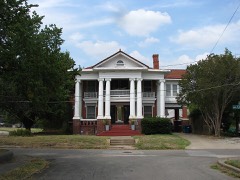 | William and Medora Camp House | building | 1988 | 88002130 |
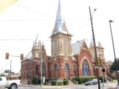 | Central Christian Church | building | 2004 | 03001376 |
| Greenville Masonic Lodge No. 335 A.F. & A.M. | building | 2023 | 100009494 | |
 | Hunt County Courthouse | building | 1996 | 96000688 |
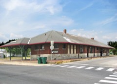 | Katy Depot | building | 1997 | 96001625 |
 | Post Office Building | building | 1974 | 74002081 |
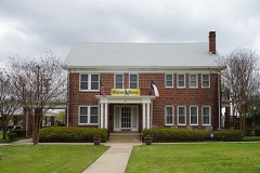 | President's House | building | 2001 | 01001264 |
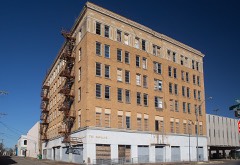 | Washington Hotel | building | 2010 | 10000962 |
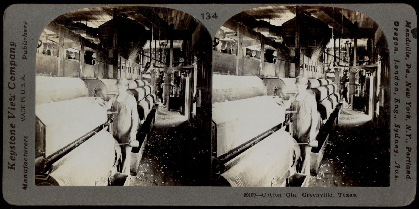
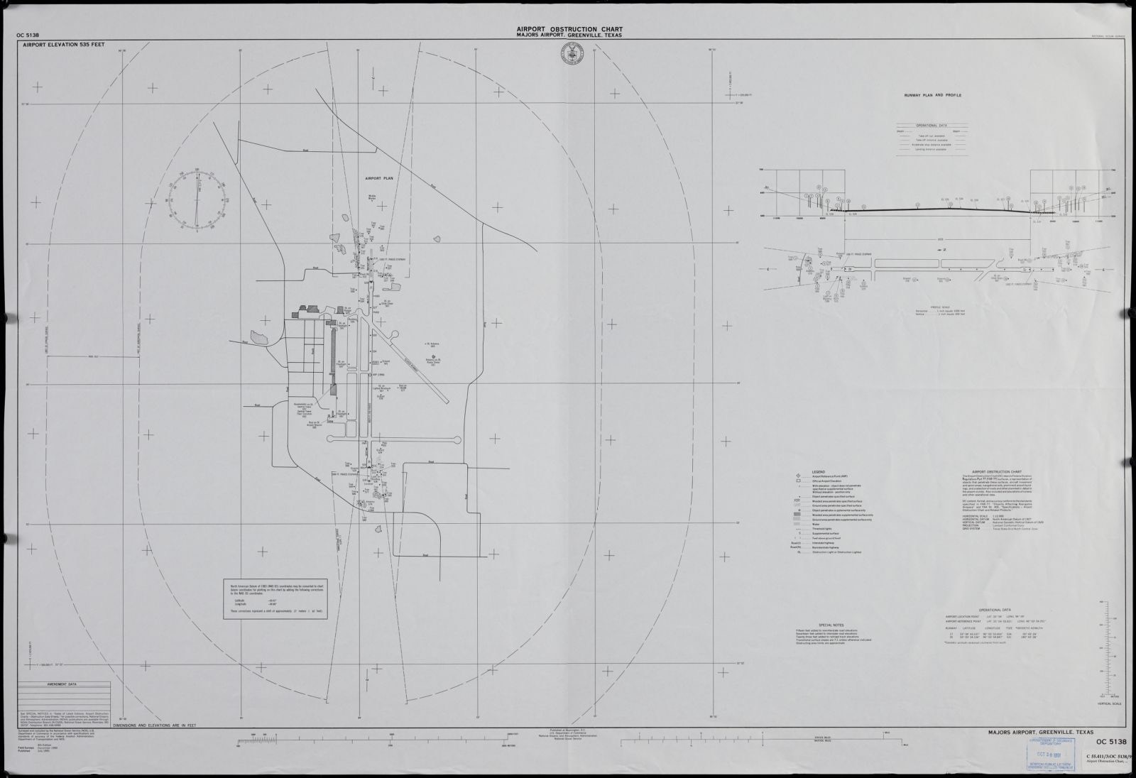
Drawn when these were printed as single large sheets: the town seen from the air, and the county divided into its farms with every owner named. Each opens the original at the Library of Congress.
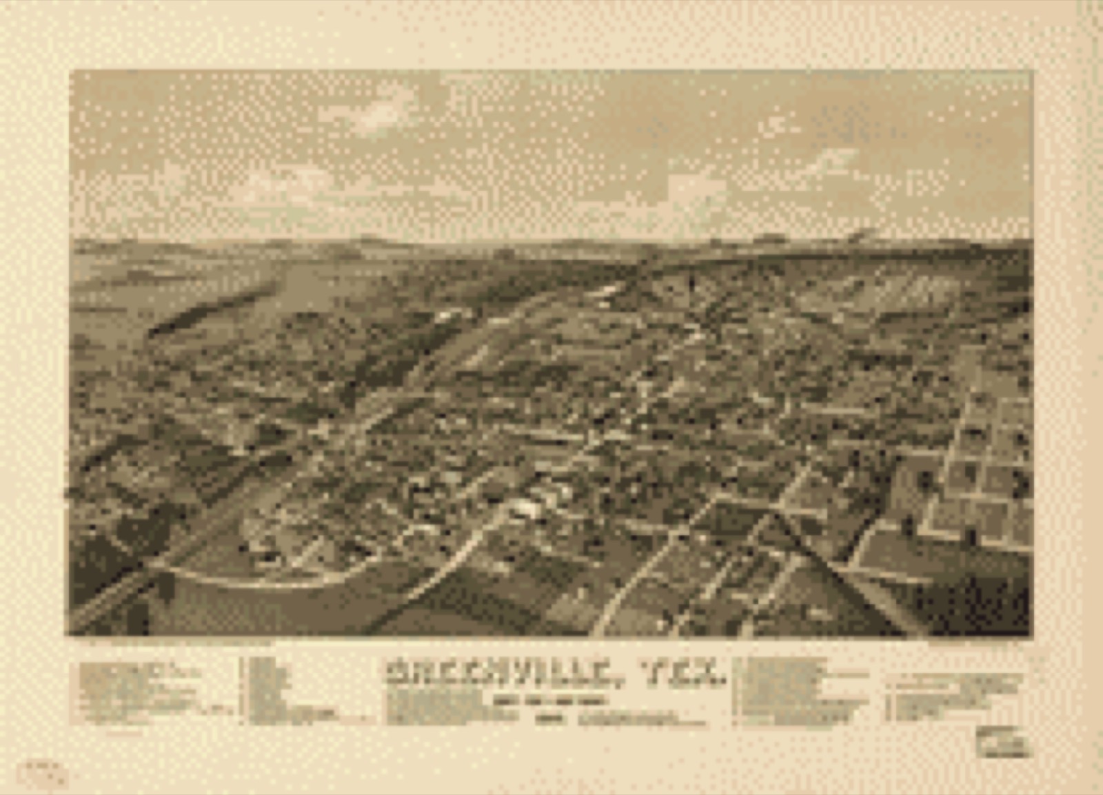
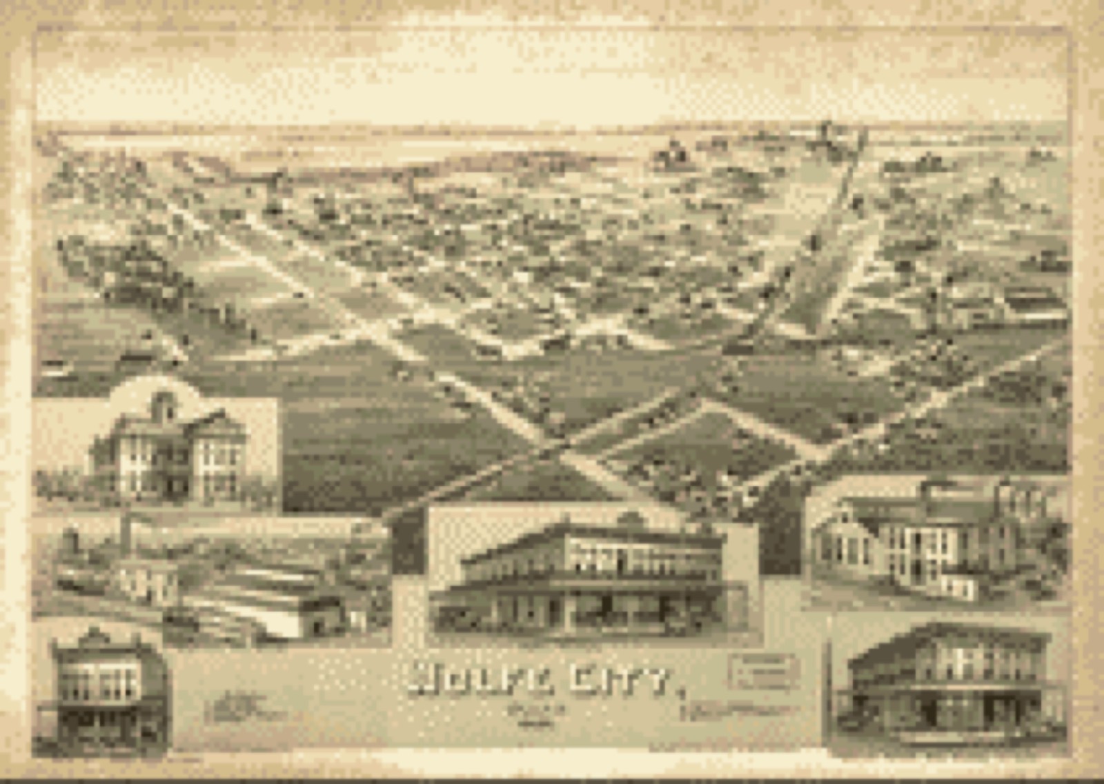

Selected from the Digital Public Library of America's 6 image records catalogued for this county. Every one shown here carries a public-domain status or a licence that permits reuse on a site that carries advertising; non-commercial, share-alike and restricted images are excluded. The selection is spread across the county's towns (at most eight per town), so no single institution's bulk upload crowds out the rest. Each opens the holding library's record, and the complete set at the Digital Public Library of America is one click away.



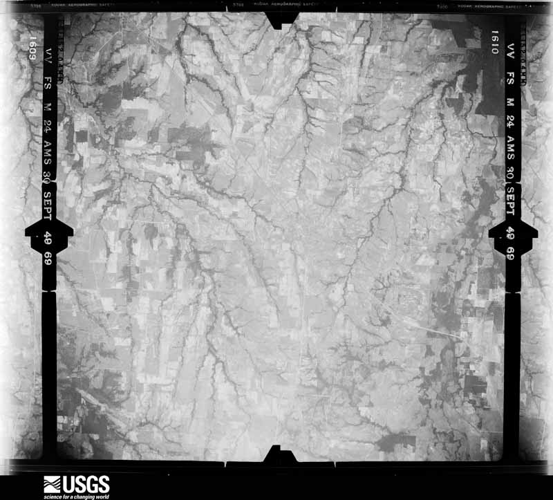
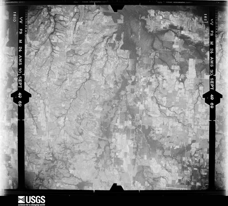
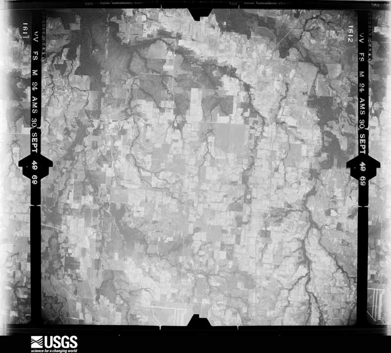
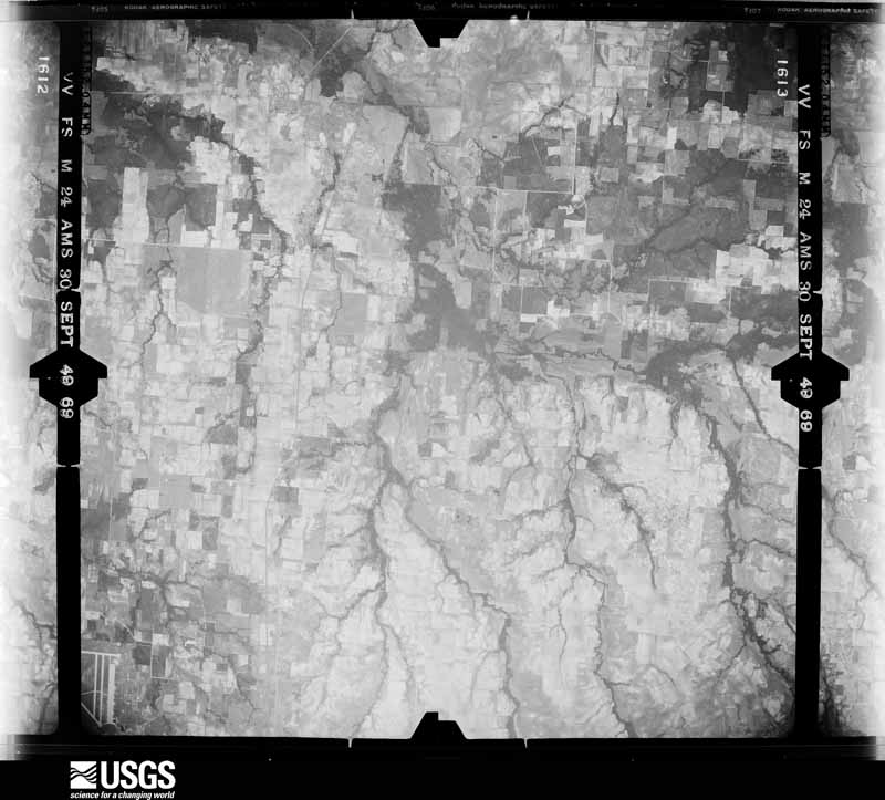
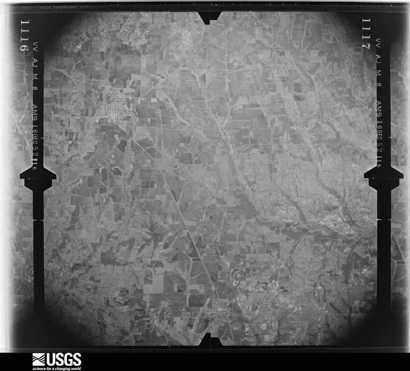
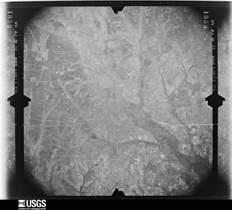
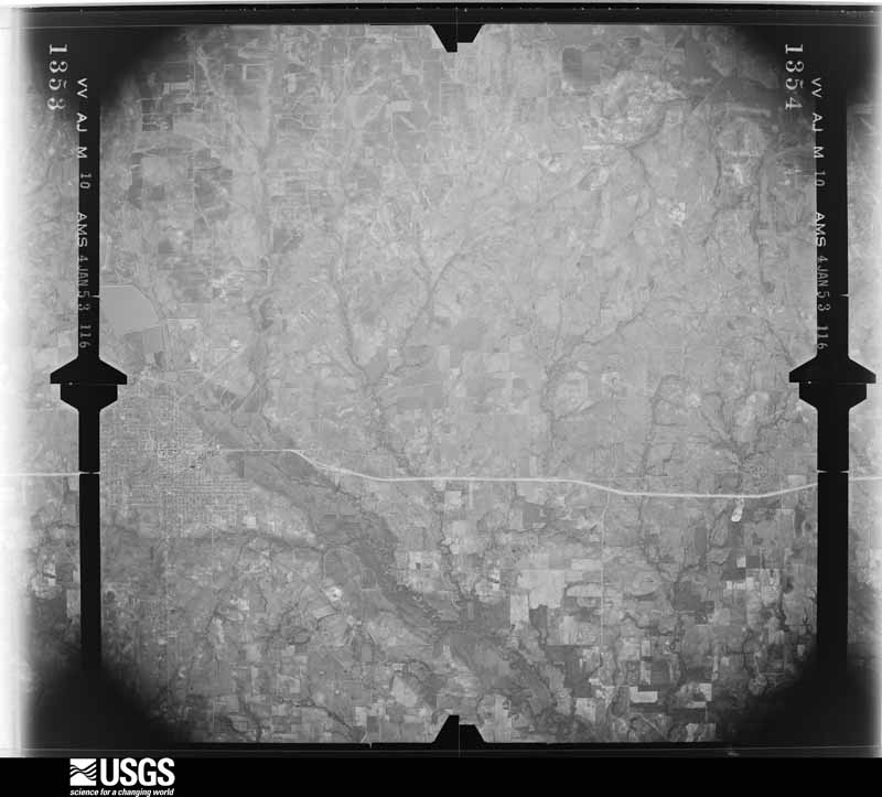
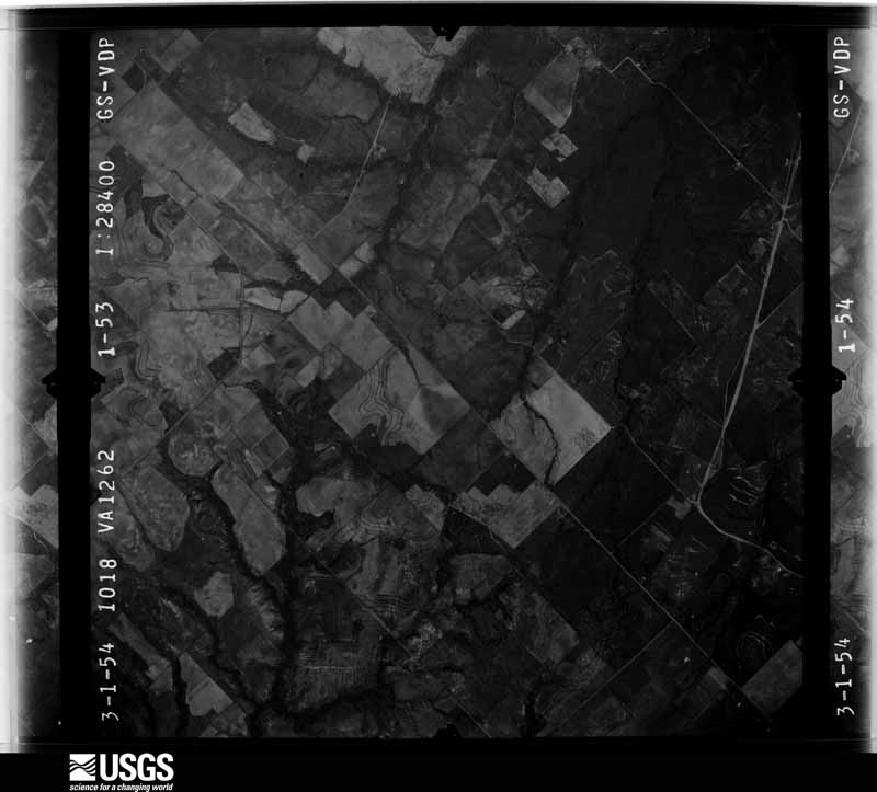
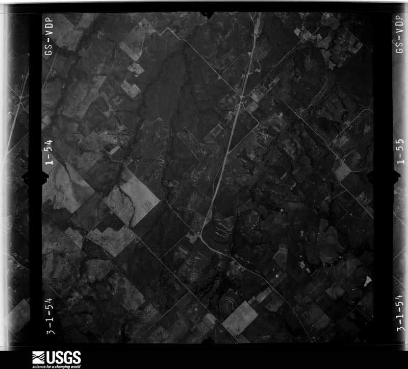
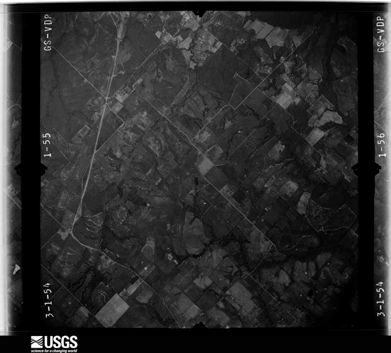
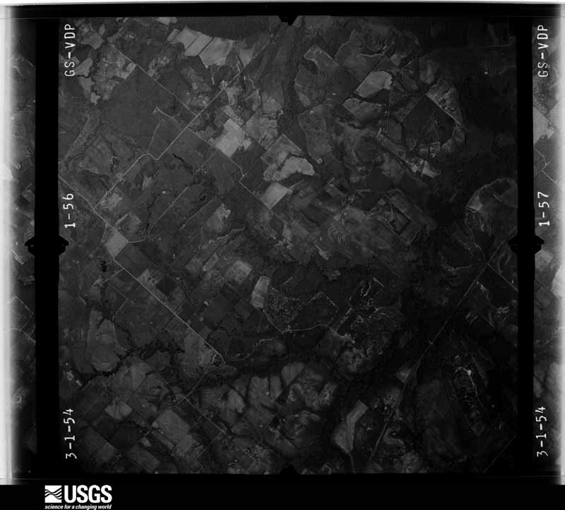
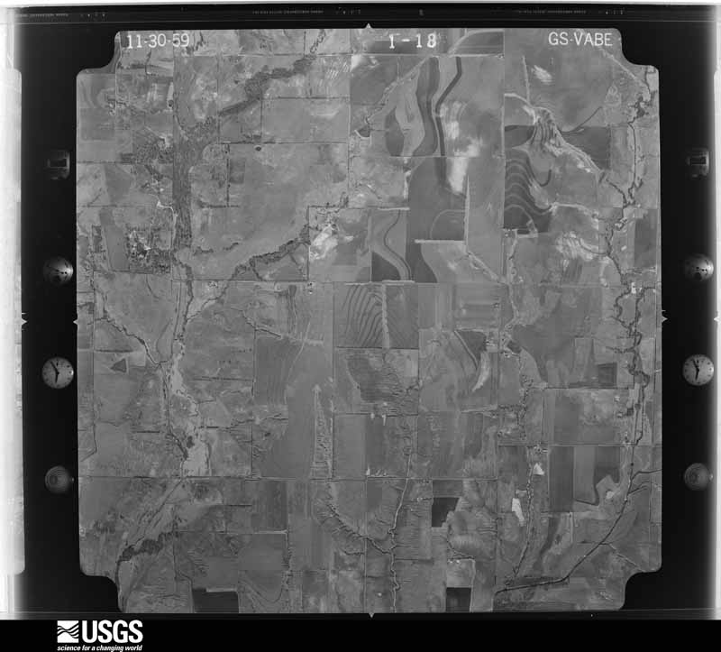
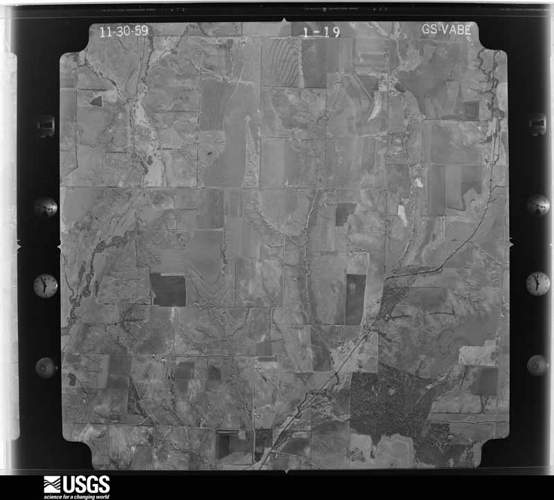
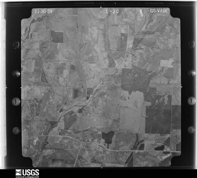
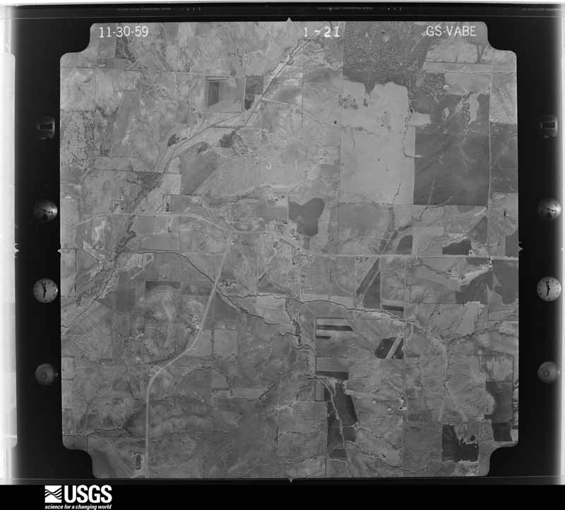
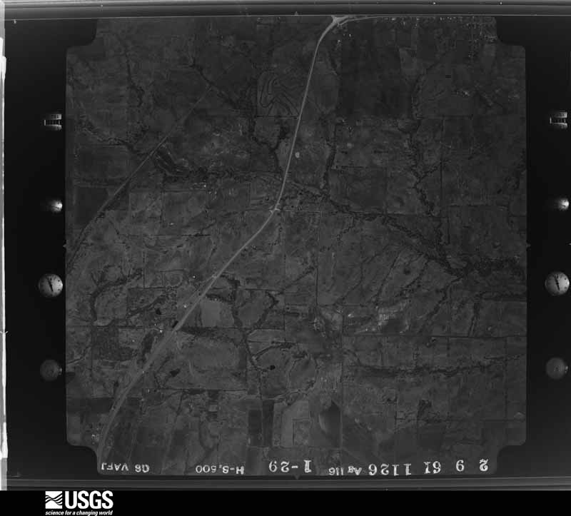
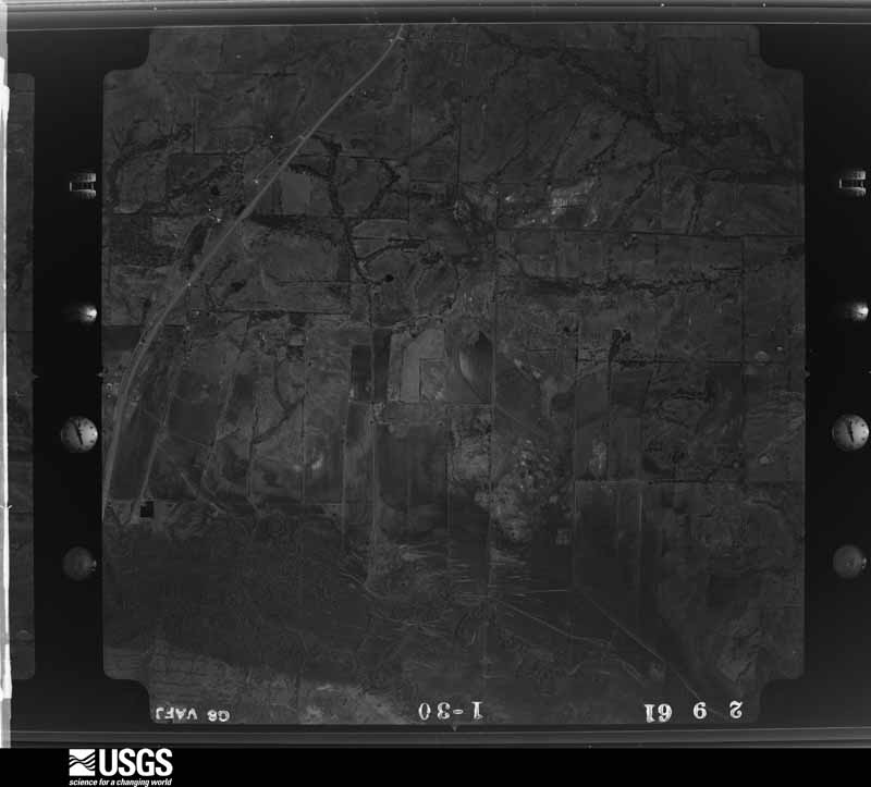
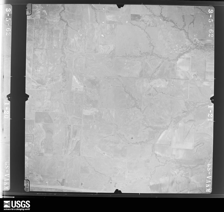
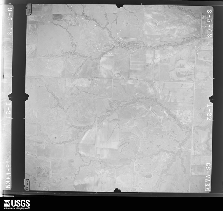
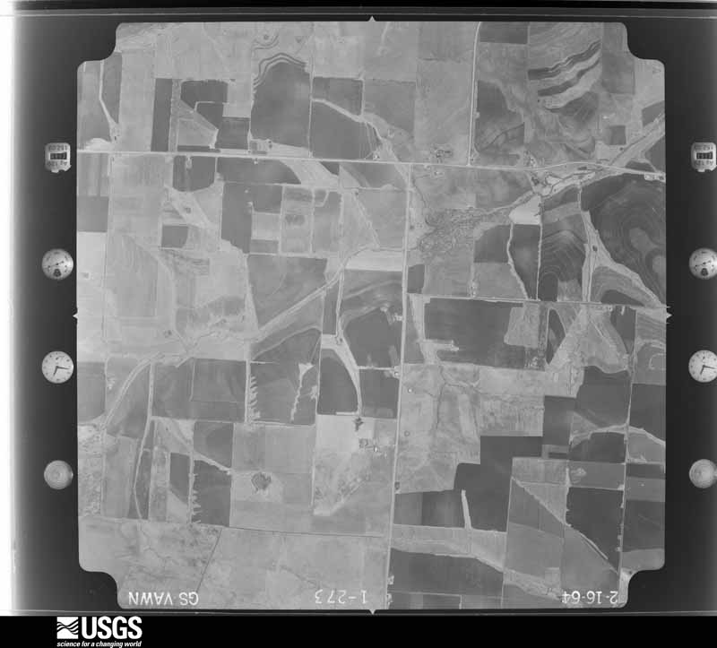
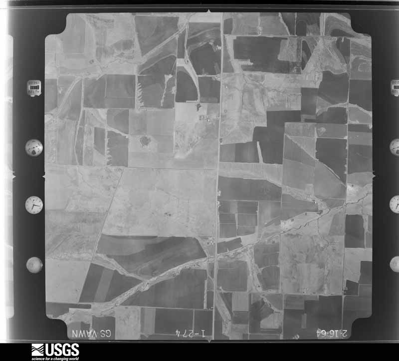
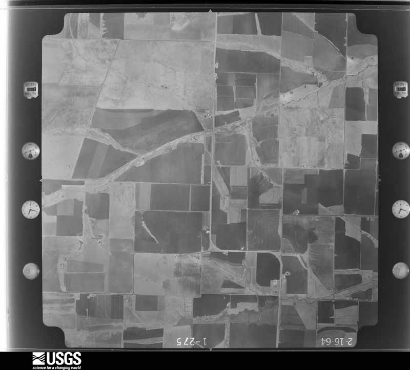
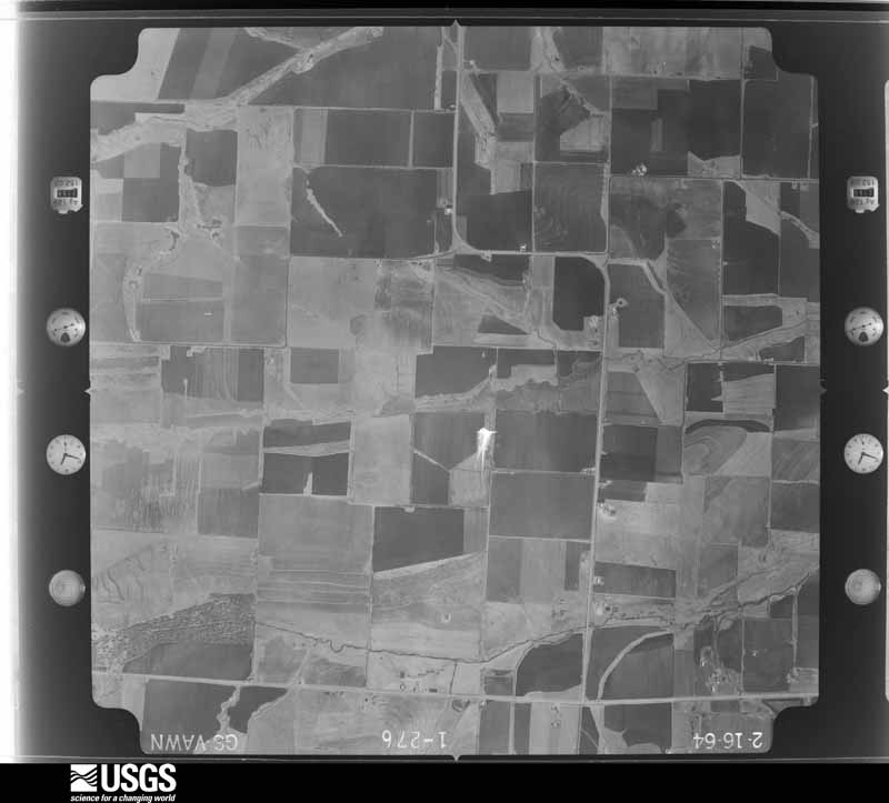
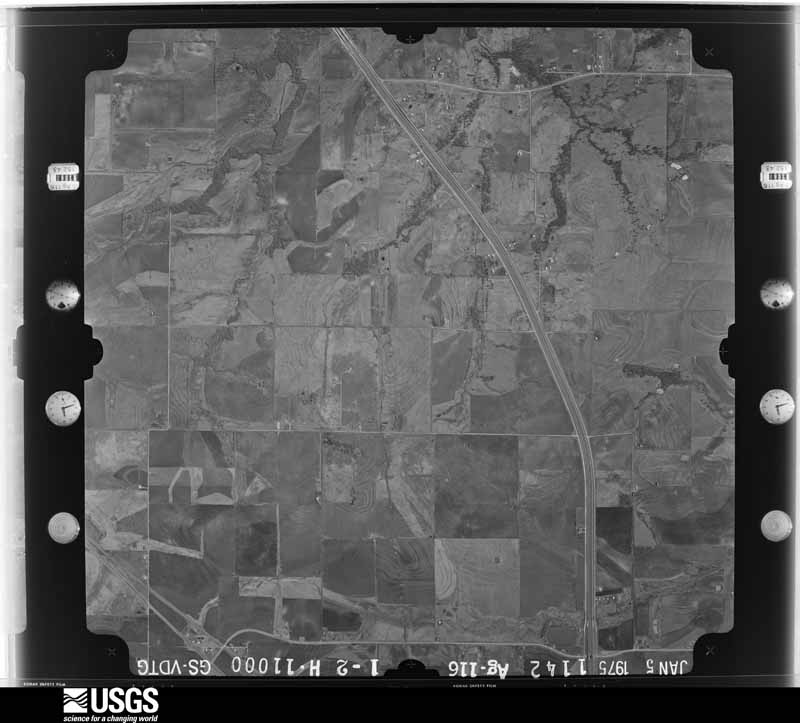
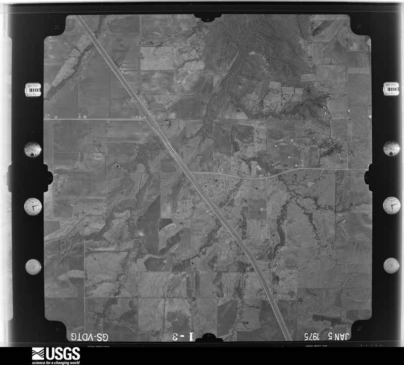
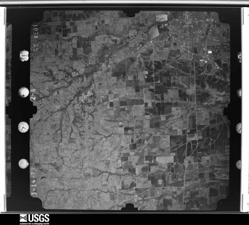
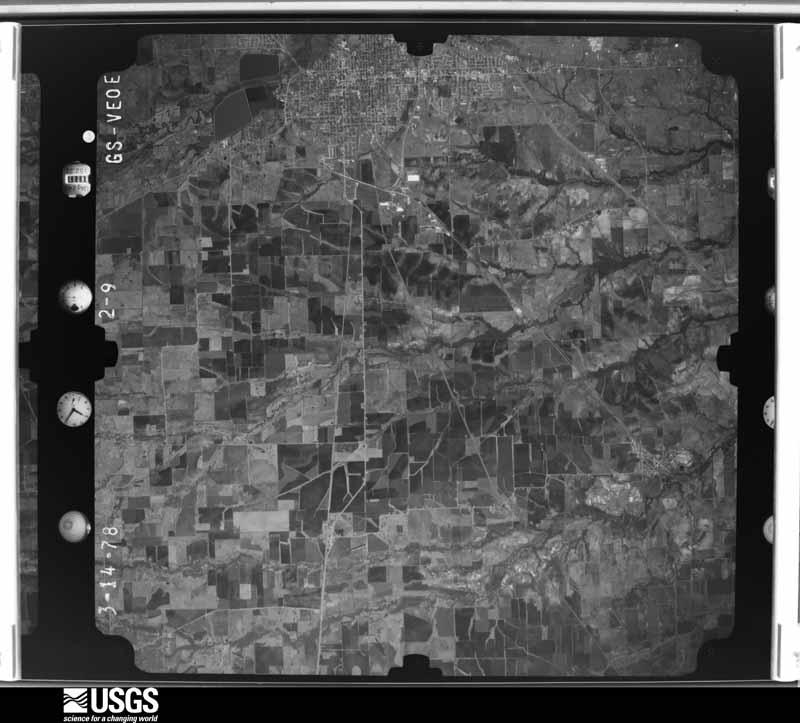
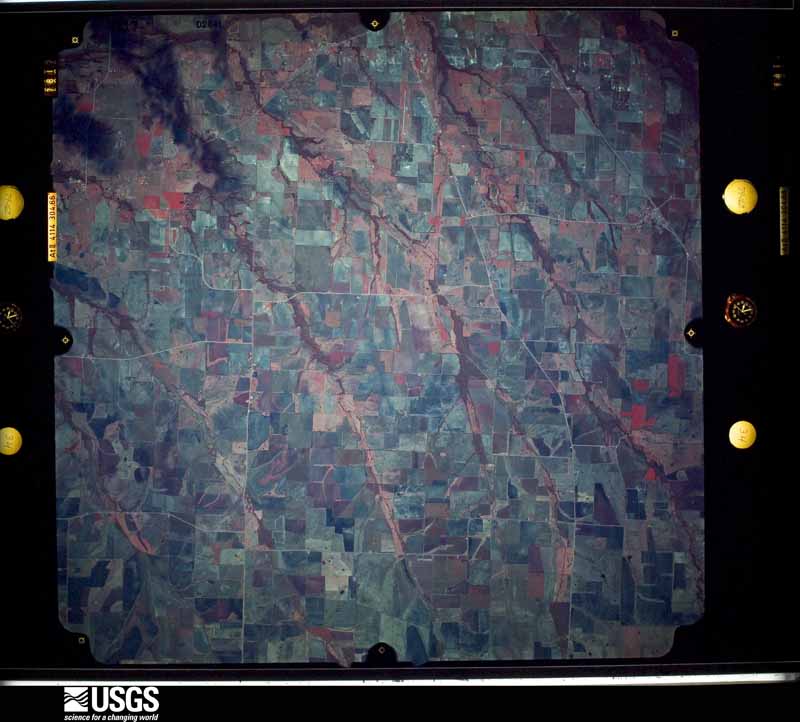
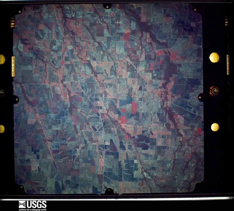
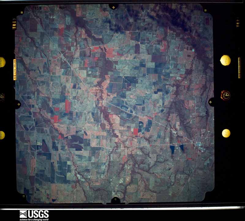
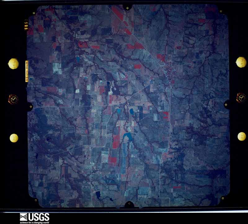
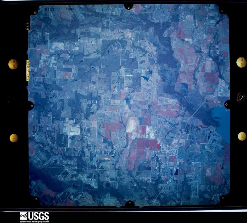
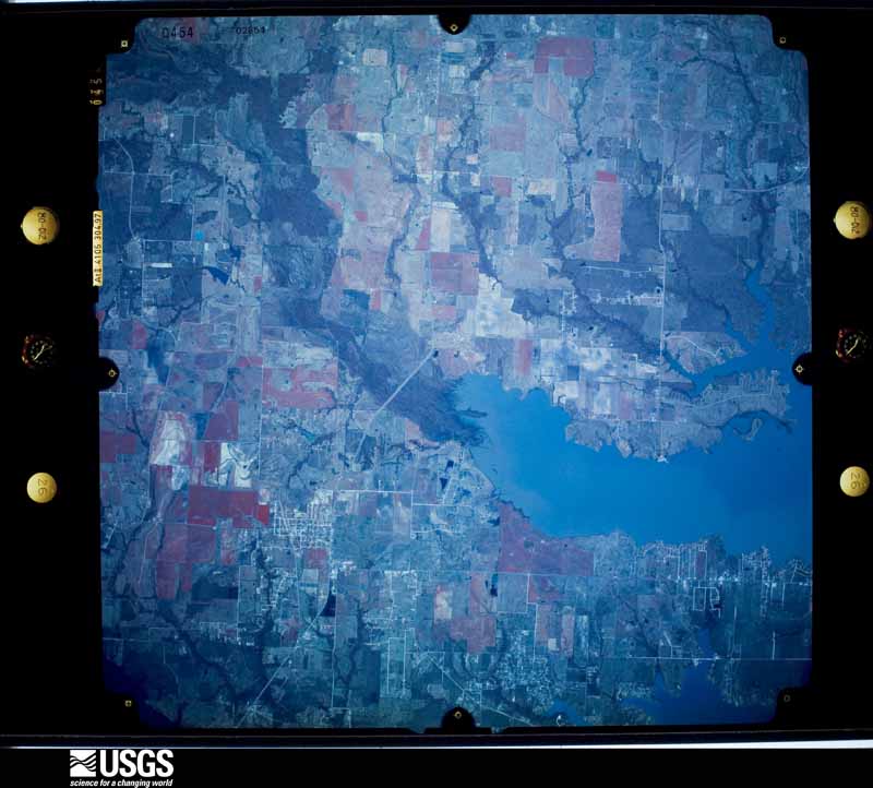
Flown by the U.S. Geological Survey between 1937 and 1989, the Aerial Photo Single Frames collection is the definitive mid-century view of the land: fields, roads and rivers as the camera saw them. The Survey holds 1,201 frames inside the rectangle that bounds this county; the 48 frames below were taken over the county itself, chosen across the decades of flights (at most four a year from that rectangle), so one flight cannot crowd out the rest. The full set is free to browse and download at EarthExplorer under the dataset Aerial Photo Single Frames.
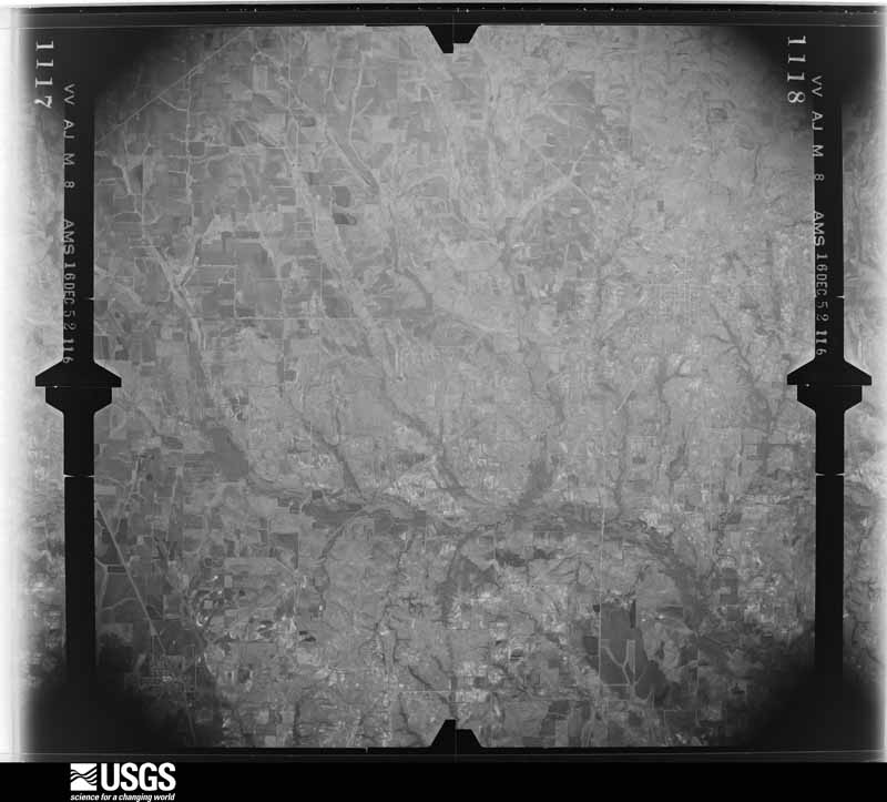

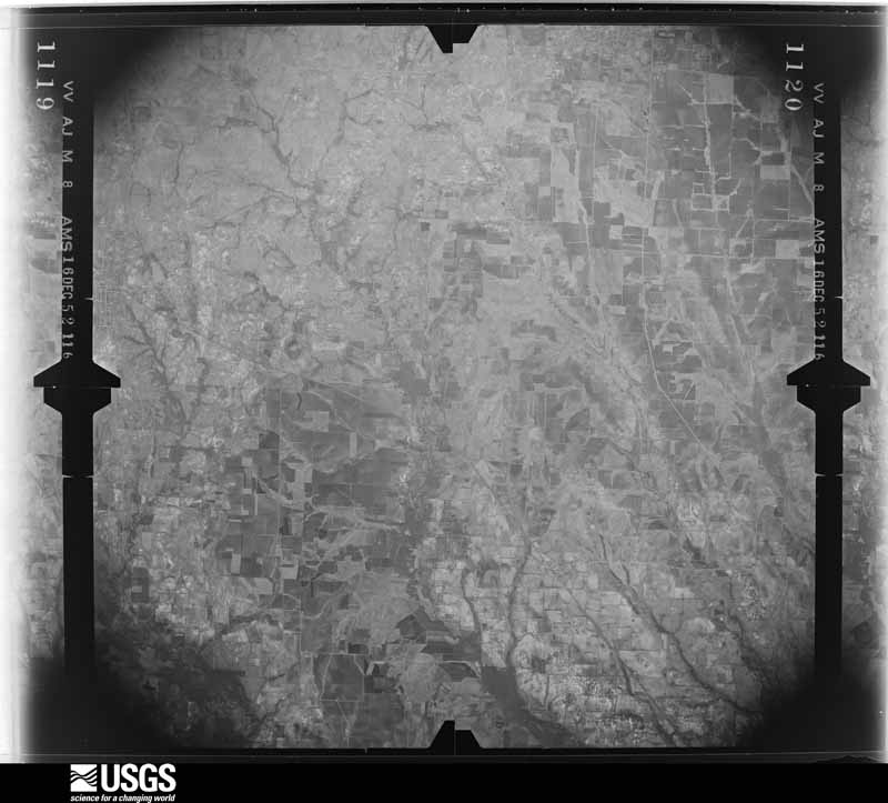
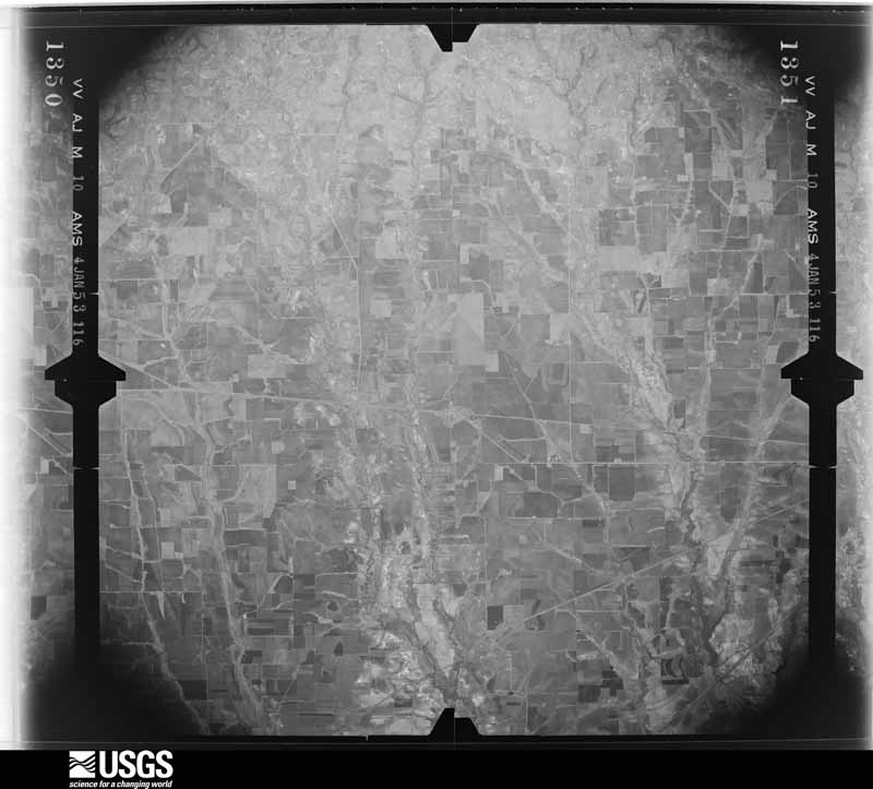
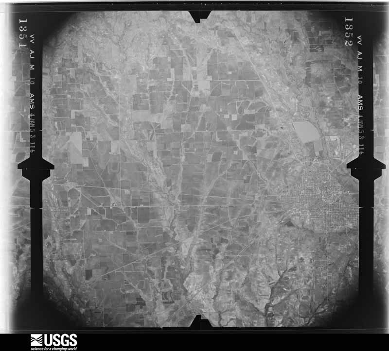
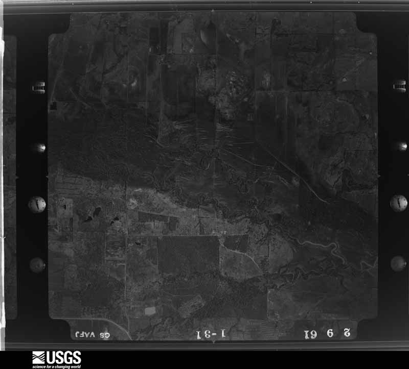
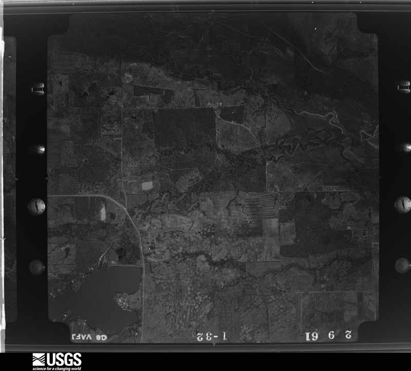
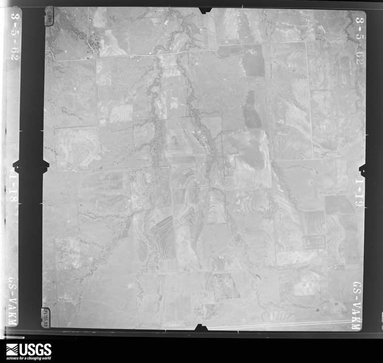
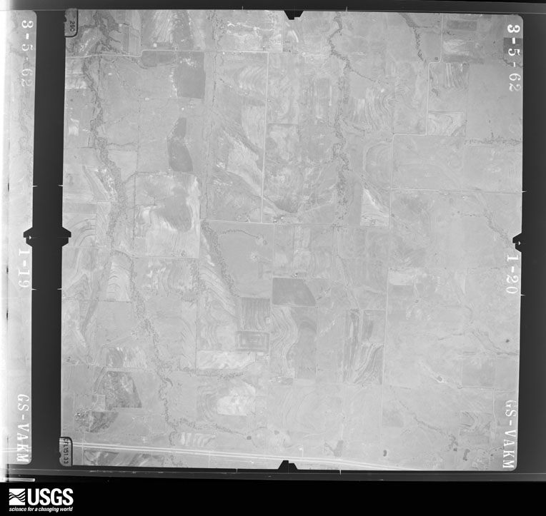
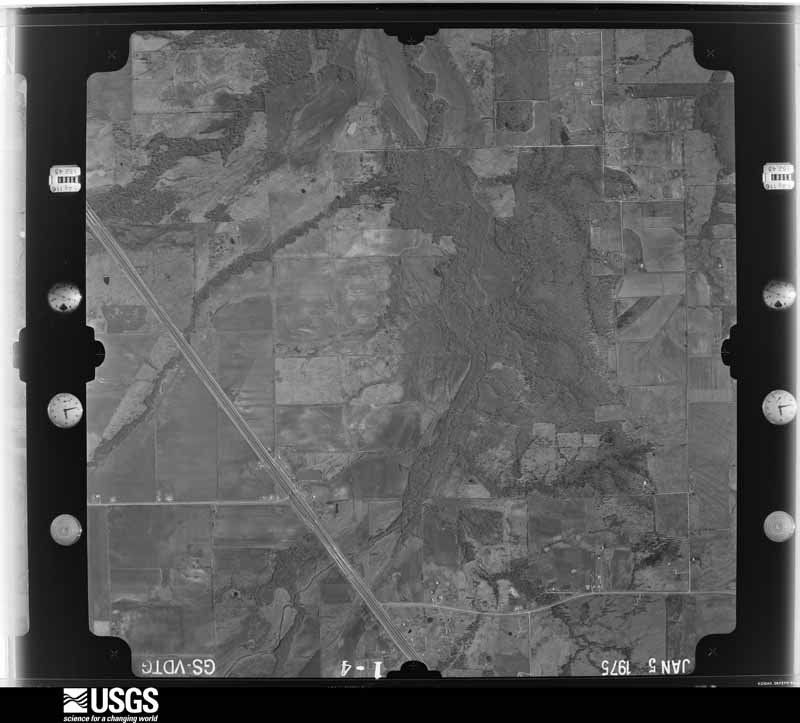
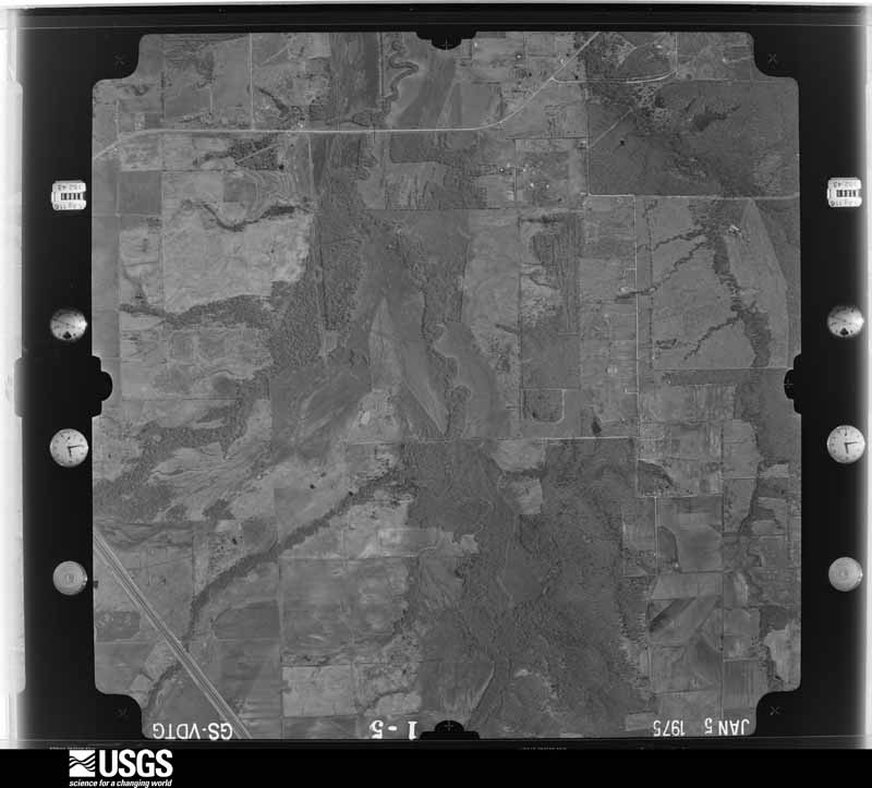
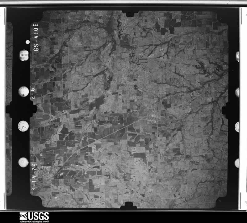
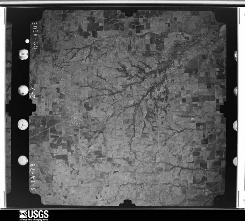
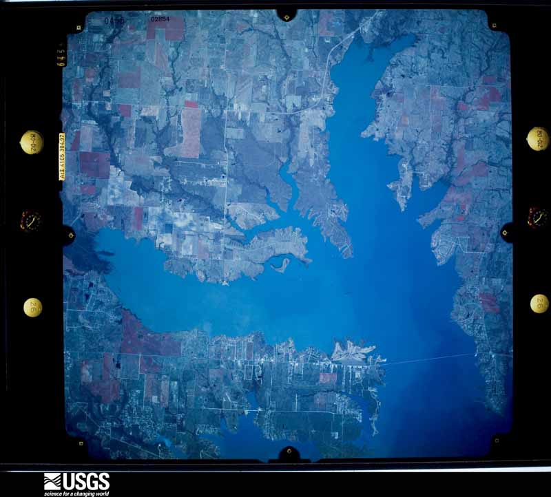
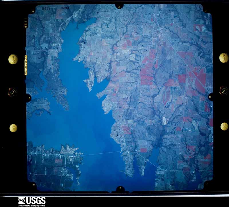
The thermometers that kept this county's weather, and the gages that measured the flow of its streams, as the federal records hold them. The extremes below are measured values from those records, not estimates.
Who lived here in 1950, one enumeration district at a time, as the Census Bureau described each district. Each row opens its official National Archives result, with Population Schedules and ED Maps available there.
Every wildfire the federal occurrence database records inside this county: 2,001 of them, burning about 14,982 acres. 24 started naturally and 48 were recorded as arson. Each settlement page carries the fires within five miles of it.
| Reported cause | Fires |
|---|---|
| Debris and open burning | 1026 |
| Missing data/not specified/undetermined | 571 |
| Equipment and vehicle use | 238 |
| Arson/incendiarism | 48 |
| Smoking | 33 |
| Power generation/transmission/distribution | 25 |
| Natural | 24 |
| Misuse of fire by a minor | 19 |
| Recreation and ceremony | 12 |
| Railroad operations and maintenance | 3 |
| Other causes | 1 |
| Fireworks | 1 |
The five largest, by the area the report gives. Two of them were set deliberately.
| Date | Cause | Size | Reported by | Name on the report |
|---|---|---|---|---|
| 18 January 2006 | Arson/incendiarism | 320 acres | Texas A & M Forest Service | 4106 FIRE |
| 5 January 2006 | Missing data/not specified/undetermined | 300 acres | Texas A & M Forest Service | FLOYD |
| 9 November 2008 | Debris and open burning | 275 acres | Texas A & M Forest Service | FLOYD 2 - 122 |
| 10 August 2007 | Arson/incendiarism | 250 acres | Texas A & M Forest Service | CADDO MILLS- 9 |
| 18 August 2011 | Missing data/not specified/undetermined | 250 acres | Texas A & M Forest Service | PENIAL FIRE |
| 19 September 2005 | Equipment and vehicle use | 210 acres | Texas A & M Forest Service | LINDEN - 381 |
| 9 September 2011 | Missing data/not specified/undetermined | 200 acres | Texas A & M Forest Service | CROWELL RD FIRE |
| 29 January 2017 | Debris and open burning | 200 acres | Texas A & M Forest Service | GRASS FIRE |
Every settlement page carries the fires within five miles of it - see the settlement index below.
The NOAA Storm Events Database holds 674 reports for this county, causing 4 deaths, 45 injuries and about $13,767,910 in recorded property damage. Each settlement page carries the reports that name it.
| Kind of event | Reports |
|---|---|
| Thunderstorm Wind | 257 |
| Hail | 251 |
| Flash Flood | 75 |
| Tornado | 62 |
| Flood | 17 |
| Lightning | 9 |
| Heavy Rain | 2 |
| Funnel Cloud | 1 |
The most serious of them, by death, then injury, then recorded damage. The accounts are quoted exactly as the forecast office filed them.
| When | Event | Place named | Harm | What the report says |
|---|---|---|---|---|
| January 2017 | Thunderstorm Wind | Lake Tawakoni | 2 killed | The bodies of a 26 year old man and his 5 year old son were found on Lake Tawakoni a day after being reported missing. According to reports, the pair were on the lake at the time the squall line blew through the area. Their boat was thought to have capsized, leading to the drowning of the father and son. |
| November 1983 | Thunderstorm Wind | not stated | 1 killed, 2 hurt | no account filed |
| February 2023 | Flash Flood | Lybrand | 1 killed, $100,000 | Brushy Creek overflowed Interstate 30 near FM 1565 and several cars were stuck in high water. The fast moving water swept one car off the road on the north service road and unfortunately the elderly man drowned. |
| May 1985 | Tornado (F2) | not stated | 23 hurt, $2,500,000 | no account filed |
| May 1966 | Tornado (F3) | not stated | 5 hurt, $25,000 | no account filed |
| April 2014 | Tornado (EF1) | Wagner | 4 hurt, $900,000 | A National Weather Service storm survey crew determined a long track tornado produced EF1 damage in several spots in Hunt County. The hardest hit home was a ranch for exotic birds and chickens. This tornado produced a non continuous path for nearly 12 miles, producing several pockets of tree and fence damage. |
| May 1985 | Thunderstorm Wind | not stated | 4 hurt | no account filed |
| June 2004 | Lightning | Greenville | 3 hurt, $1,000 | Lightning struck a house, injuring 3 people. |
| December 1971 | Tornado (F2) | not stated | 2 hurt, $2,500,000 | no account filed |
| November 1992 | Tornado (F0) | not stated | 1 hurt, $250,000 | no account filed |
| June 1974 | Tornado (F2) | not stated | 1 hurt, $25,000 | no account filed |
| May 2014 | Flash Flood | Muddig | $500,000 | Very heavy rainfall fell across the county resulting in significant flooding. Rainfall totals from 4-5.5 were reported across the county with radar estimates of higher amounts in the northwestern portions of the county. Significant flooding was reported in the city of Commerce. Many streets in the city were flooded and described as flowing rivers. Two cars were trapped on flooded roads and the drivers had to be rescued. Flood waters entered homes in Quinlan and Tawakoni. The roof of the cafeteria at Ford High School in Quinlan ruptured during the lunch hour sending ceiling tiles falling and water into the lunchroom. No one was injured. Several roads across the county were closed due to high water. |
| April 2012 | Tornado (EF2) | Union Vly | $500,000 | A strong EF-2 tornado began in eastern Rockwall County and traveled northeast into Hunt County before lifting. As the tornado crossed into Hunt County, it destroyed one mobile home near the Rockwall/Hunt County Line. The tornado then continued to the northeast where it destroyed the roof of one more home before lifting north of Highway 276. The path length of the tornado in Hunt County was nearly a mile long, but the total path length was 3.3 miles. Maximum estimated winds with the tornado while it was in Hunt County were likely around 130 mph and the tornado was approximately 400 yards wide. |
| October 2010 | Tornado (EF0) | Lone Oak | $500,000 | An EF0 tornado hit the Rolling Hills subdivision southwest of Lone Oak. Ten homes sustained damage with one home completely destroyed. The destroyed home was an unoccupied apartment over a garage. The apartment was lifted up from its wood beam supports and displaced along the track of the twister. In addition, tree damage was observed, and some trees and tree limbs damaged homes and cars. The maximum winds were estimated to be between 80-85 mph. |
| May 2009 | Thunderstorm Wind | Commerce | $500,000 | Numerous and substantial damage was reported in and around Commerce. An estimated 10-15 homes and 8-10 cars were heavily damaged by straight line winds. Trees were snapped in half and some trees fell down on homes, on power lines, and also on streets. Some of the trees that were snapped or uprooted were several feet in diameter. Also, the pavilion at the city park was leveled, and just west of town, the roof was torn off a small house that was being used for storage. |
| July 2007 | Flash Flood | Campbell | $400,000 | Between two and three inches of rain fell in less than an hour across portions of the county, causing significant flooding. Several homes were evacuated and flooded, and at least two cars were filled to their windows with water. One of the cars was located off Highway 50 between Campbell and Commerce Streets. CR 4105 and the intersection of FM 1568 and CR 4312 were closed due to flooding. |
| March 2023 | Thunderstorm Wind | Greenville | $300,000 | Damage was reported to multiple buildings in downtown Greenville along with downed trees. Time was estimated via radar. |
| April 2016 | Hail | Quinlan | $300,000 | Amateur radio reported golf ball sized hail in and near Quinlan, TX. |
| April 2011 | Tornado (EF1) | Cash | $250,000 | A tornado touched down near the town of Cash and then moved northeast producing a non-continuous path of damage over 6 miles long. Up to 8 homes, a pipe manufacturing plant and two metal buildings were damaged in Cash. In addition, four U-haul trailers were blown across the highway in Cash. As the tornado continued northeast out of Cash, it damaged several more homes with most of them sustaining minor roof damage. However, one home sustained significant damage to the roof and second story near FM 1564 and FM 3519. Just before the tornado lifted, it damaged 5 more mobile homes, one of which was destroyed, and also significantly damaged a single family residence near the intersection of FM 1564 and Highway 69. This tornado has been rated an EF-1 with estimated maximum wind speeds of 100 to 110 mph. |
| December 1967 | Tornado (F3) | not stated | $250,000 | no account filed |
| November 2010 | Thunderstorm Wind | Harlow | $150,000 | A microburst damaged part of the southern portions of the city of Greenville. Several businesses and residential structures sustained roof damage. The roof of a Braum's was heavily damaged, and the roof at an automobile service station on Business 67 was partially blown off. In addition, the garage door at the service station at the Enterprise Rent-A-Car was blown in and a gash was torn into the wall. Several large trees were blown down, a gas station sign was blown down, and a sign at Crossroads Mall fell on a car. Three power poles were snapped on Sayle Street causing a black out in the area. Maximum wind gusts were estimated to be 65 mph. One person sustained minor injuries, and was treated and released from the medical center. |
| April 1996 | Tornado (F2) | Commerce | $150,000 | no account filed |
| June 2019 | Thunderstorm Wind | Peniel | $100,000 | A National Weather Service survey team concluded that a significant damaging thunderstorm wind event occurred in and near the city of Greenville during the late afternoon hours on Wednesday June 19th. Much of the city was impacted with |widespread tree and structural damage. Maximum wind speeds were estimated near 85 mph.||Location...Greenville to Lone Oak in Hunt County. Widespread tree and structural damage occurred in the city of Greenville. The most significant damage occurred in and just to the northeast of the downtown area where wind speeds were estimated between 70 and 85 mph. Many trees and branches were toppled onto homes, vehicles, storage buildings and fencing, |resulting in considerable residential property damage. Significant structural damage occurred to a few businesses near downtown, including a warehouse building which was pushed over and toppled. A church on Highway 69 southwest of downtown also sustained damage when a roof overhang was peeled back and thrown 30 yards. |No injuries are known to have occurred at this time. ||The debris within the large damage field fell overwhelmingly in a southwesterly through southeasterly direction. The strong wind field was likely caused by a rear flank downdraft on the south side of a severe supercell thunderstorm that tracked east-|southeastward across Hunt County. Eyewitnesses were interviewed and reported a wall cloud and rotation in the sky, but no one conclusively saw a condensation funnel cloud or a connection of the rotation from the sky to the ground. ||The damage began northwest of Greenville along Highway 69 where scattered tree damage occurred indicative of 60 mph winds. Damage increased near Graham Park where wind speeds were estimated at 70 mph. Damage suggested the winds continued to increase to near 80 to 85 mph as it approached downtown from the north. Thereafter |wind speeds decreased below 70 mph as it moved toward I-30 on the south side of town, where scattered tree and sign damage was seen. Scattered tree damage continued south-southeastward toward the community of Lone Oak in southeast Hunt county and Miller Grove in Hopkins county, where winds were estimated at 60 mph. |Scattered tree damage east of Greenville was particularly indicative of divergence, as some tree limbs fell to the east, again suggesting that a downburst was responsible for the winds. |
| August 2019 | Flash Flood | Commerce Muni Arpt | $100,000 | Numerous motorists were stranded in Commerce due to high water. In addition, flooding was reported along Highways 24 and 50 just north of Commerce, in areas that do not normally flood. An estimated 6-7 inches of rain fell in the area. |
| October 2019 | Thunderstorm Wind | Wilkes Spur | $100,000 | Emergency management reported damage on the campus of Texas A & M University Commerce. Mature trees were blown over, windows were blown in, squares of shingles on new dorm construction were ripped off, and at least one light pole was pulled off it's concrete base. Large tree branches were also split off of trees, metal bleachers were tossed and damaged, and the roll up doors on one building were blown off. At a campus facility to the south of town, 3 sheds were blown across the road. |
| June 2015 | Flood | Jacobia | $100,000 | The South Sulphur River bridge at FM118 collapsed. |
| May 2013 | Thunderstorm Wind | Caddo Mills | $100,000 | The Hunt County Emergency Manager reported power lines and tree limbs blown down throughout the county. Homes in the Royse City and Caddo Mills areas suffered roof and fence damage. Two barns along County Road 2630 were also damaged by the winds. |
| April 2011 | Thunderstorm Wind | Quinlan | $100,000 | Thunderstorm winds produced widespread damage near Quinlan and across areas south of Greenville in Hunt County. The strongest hit areas were along a line from near Cash to Lone Oak. Winds downed numerous trees, power lines and damaged several structures in these areas. |
| May 2011 | Lightning | Kingston | $100,000 | Lightning struck a home near County Road 1035, and the home was fully engulfed in flames by the time fire fighters arrived. |
| October 2010 | Hail | Commerce | $100,000 | Golf ball size hail was reported in Commerce. The local newspaper reported some minor roof damage and lots of car damage from the hail. |
| October 2007 | Lightning | Lone Oak | $100,000 | A church on Highway 69 South was hit by lightning and burned to the ground. The fire marshall reported the building was a total loss. |
| June 2004 | Lightning | Greenville | $100,000 | Two homes were destroyed by lightning started fires. |
| May 2003 | Thunderstorm Wind | Lone Oak | $100,000 | Barns were blown down, trees a blown down onto houses and utility poles blown down. |
| June 2023 | Hail | Mexico | $100,000 | no account filed |
| April 2014 | Hail | Commerce | $90,000 | Golf ball sized hail was reported in Commerce, including on the campus of Texas A&M University-Commerce. The large hail lasted for approximately fifteen minutes. |
| April 2016 | Hail | Lake Tawakoni | $70,000 | Nearly 2 inch sized hail was reported on Fox Point Road near Lake Tawakoni. |
| March 2025 | Thunderstorm Wind | Commerce | $60,000 | Multiple downed trees were reported in Commerce. The roof was also blown off of a house. Multiple vehicle accidents were also reported in Commerce, including an overturned 18 wheeler. |
| April 2026 | Hail | Commerce | $50,000 | Emergency manager reported an estimated 3.5 inch hailstone just north of Commerce, via picture. |
| May 2024 | Tornado (EF1) | Lane | $50,000 | A brief, EF-1 tornado developed in western Hunt County, just west of FM 36 between Private Road 1184 and CR 1096. Multiple barns and farm outbuildings were destroyed on a property near the roadway along with damage to the roofs of several nearby single family residences. As the tornado tracked east towards CR 1097, it passed through a few wooded areas resulting in tree damage including broken small and large branches. The front porch roof was pulled off of a home on the northern end of CR 1097 causing damaging to the roof of the home (DI 2, DOD 2). Tree damage continued east of the property before the tornado lifted over open land north of CR 1096. Maximum winds were 90 mph. |
| May 2023 | Thunderstorm Wind | Wagner | $50,000 | An emergency manager reported snapped power poles. Some mature trees were uprooted or snapped, and a hay barn roof was destroyed. The damage swath was estimated to be a tenth of a mile wide. |
| December 2015 | Flash Flood | Commerce Muni Arpt | $50,000 | Heavy rain resulted in flooding of roads in Commerce. Some high water rescues were needed for motorists stuck in the water. |
| November 2015 | Flood | Lake Tawakoni | $50,000 | Many county roads and low water crossings are flooded across the county after several inches of rain fell. Barricades have been placed in some locations. |
| January 1999 | Thunderstorm Wind | Lone Oak | $50,000 | A roof was damaged by high winds. |
| January 1999 | Thunderstorm Wind | Commerce | $50,000 | Thunderstorm winds damaged several school buildings and four mobile homes. An eighteen wheeler was blown over and power lines were blown down. |
| December 1997 | Flash Flood | Greenville | $50,000 | A temporary bridge on Highway 224 was washed out. |
| November 1994 | Tornado (F0) | Caddo Mills | $50,000 | A brief tornado touchdown knocked down a barn. |
| October 1994 | Thunderstorm Wind | Neylandville | $50,000 | The City Hall was blown down by high winds with damage to a church and a mobile home. Numerous trees and power lines were blown down on county roads. Damage to city hall was estimated at 35-40,000 dollars. |
| October 1994 | Thunderstorm Wind | Commerce | $50,000 | At Humbolt (6 SW Commerce), roof damage occurred to the Community Center, and trees were blown down at a cemetery. |
| May 1993 | Tornado (F1) | Forney to | $50,000 | This tornado formed between the two tornadoes previously listed in ,Kaufman County, and moved northeast. A feed store 5.3 miles east ofForney on Interstate 20 was destroyed. The tornado moved into extreme southeast Rockwall County, crossing the county line south of Royse City, and then moved into southwest Hunt County, one-half mile north of the Kaufman County line. The tornado continued moving northeast before lifting at approximately 4 SW Quinlan. There was no damage reported in Rockwall or Hunt Counties. |
| May 1993 | Thunderstorm Wind | Quinlan | $50,000 | Thunderstorm winds damaged a truck and trees. |
| March 2008 | Flash Flood | Caddo Mills | $40,000 | Several high water rescues were required. A family in Caddo Mills had to be rescued after their house was flooded by several feet of water. Another family was rescued after their mobile home took on water on CR 4315. High water rescues were needed after cars stalled in high water on the north I-30 service road at FM 1570 and also in the city of Commerce. Several streets were closed in the county, including Monroe and Washington Streets, FM 3218, FM 118 at the Sulphur River, FM 1565, and FM 36. |
| May 2007 | Thunderstorm Wind | Caddo Mills | $40,000 | Numerous trees, large tree limbs, and power poles were downed. A tree fell on a carport on FM 36 near Caddo Mills. Another roof collapsed near the vicinity of Polk and Pickett Streets in Greenville. In Celeste, a tree fell on the covered parking at a church. |
| May 2007 | Flash Flood | Quinlan | $40,000 | Cars were stranded in high water near Quinlan. Three homes were flooded and had to be evacuated in the Rolling Oaks subdivision on the south shore of Lake Tawakoni. Several roads were flooded and barricaded, and a culvert on Northshore Road near Lake Tawakoni was washed out. |
| March 2006 | Flash Flood | Countywide | $40,000 | Significant flooding countywide with numerous roads closed, including I-30 service roads. Sulphur River overflowed onto State Highway 224 between the cities of Commerce and Neylandville. Also, 380 west of Greenville and 276 west of Quinlan were barricaded all afternoon and evening due to flooding. FM 1570, 1565, and 118 were all closed due to flooding. Flood waters entered homes and apartments in Greenville. A portion of CR 3702 collapsed due to the flooding, washing out an entire 4 to 5 foot section. CR 3208 was also damaged by the floods. |
| June 1997 | Thunderstorm Wind | Commerce | $40,000 | Strong winds blew a tree onto a house. |
| June 1997 | Thunderstorm Wind | Muddig | $40,000 | Strong winds damaged the roof and a wall of a home. |
| March 2004 | Thunderstorm Wind | Greenville | $35,000 | A barn was blown down at the intersection of FM 1524 and FM 36. Numerous power lines were blown down north of Greenville. Several homes in Greenville were partially unroofed. |
| June 2004 | Lightning | Greenville | $35,000 | A lightning started fire damaged a 6 month old house. |
| March 2004 | Thunderstorm Wind | Wolfe City | $30,000 | A mobile home was moved off it's blocks, a barn was destroyed, the concession stand of a ball field was destroyed, fences were blown down, and numerous trees were blown down. |
| September 2022 | Thunderstorm Wind | Campbell | $25,000 | Emergency management reported that a 30 by 40 foot barn and several small cow shelters were damaged by thunderstorm winds near Campbell, TX. |
Named settlements recorded in the Geographic Names Information System, each with the topographic sheets covering it. Villages, hamlets and abandoned places alike. Each is shown with the nearest named watercourse or landform and the survey quadrangle it falls on.
Greenville census division · 75401 · On Horse Creek · Greenville NE quadrangle
8 sheets, 1954 to 1985
Quinlan census division · 75474 · On Bois d'arc Creek · West Tawakoni quadrangle
13 sheets, 1954 to 1986
Greenville census division · 75402 · On Wolf Creek · Greenville SE quadrangle
6 sheets, 1954 to 1985
Caddo Mills census division · 75135 · On Middle Caddo Creek · Greenville SW quadrangle
6 sheets, 1954 to 1985
Greenville census division · 75402 · On Timber Creek · Greenville SE quadrangle
6 sheets, 1954 to 1985
Greenville census division · 75401 · On Horse Creek · Greenville NE quadrangle
8 sheets, 1954 to 1985
Caddo Mills census division · 75135 · On Payne Creek · Greenville SW quadrangle
6 sheets, 1954 to 1985
Commerce census division · 75428 · On East Fork Pecan Creek · Commerce North quadrangle
8 sheets, 1953 to 1991
Greenville census division · 75401 · On Holder Branch · Greenville NW quadrangle
7 sheets, 1954 to 1985
Celeste census division · 75401 · On Cowleech Creek · Celeste quadrangle
6 sheets, 1954 to 1985
Greenville census division · 75402 · On Mustang Branch · Greenville SE quadrangle
6 sheets, 1954 to 1985
Greenville census division · 75402 · Greenville SE quadrangle
6 sheets, 1954 to 1985
Greenville census division · 75402 · On Mustang Branch · Greenville SE quadrangle
6 sheets, 1954 to 1985
Greenville census division · 75401 · On Rays Creek · Greenville NE quadrangle
8 sheets, 1954 to 1985
Commerce census division · 75428 · On Honey Creek · Wolfe City quadrangle
6 sheets, 1954 to 1985