 Block
BlockFrom the record
4 National Register listings published here.
Sources: the National Register database, National Park Service
49 topographic sheets cover 18 settlements here, and 4 properties are on the National Register of Historic Places.
4 National Register listings published here.
Sources: the National Register database, National Park Service
Every property in this county listed on the National Register of Historic Places, with the year it was listed and the federal nomination document.
| Photograph | Property | Type | Listed | Reference |
|---|---|---|---|---|
 | Allen Memorial Presbyterian Church | building | 2016 | 16000351 |
 | Edna Theatre | building | 2011 | 11000652 |
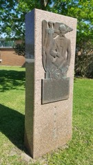 | Jackson County Monument | object | 2018 | 100002350 |
 | Texana Presbyterian Church | building | 1979 | 79002982 |
Drawn when these were printed as single large sheets: the town seen from the air, and the county divided into its farms with every owner named. Each opens the original at the Library of Congress.

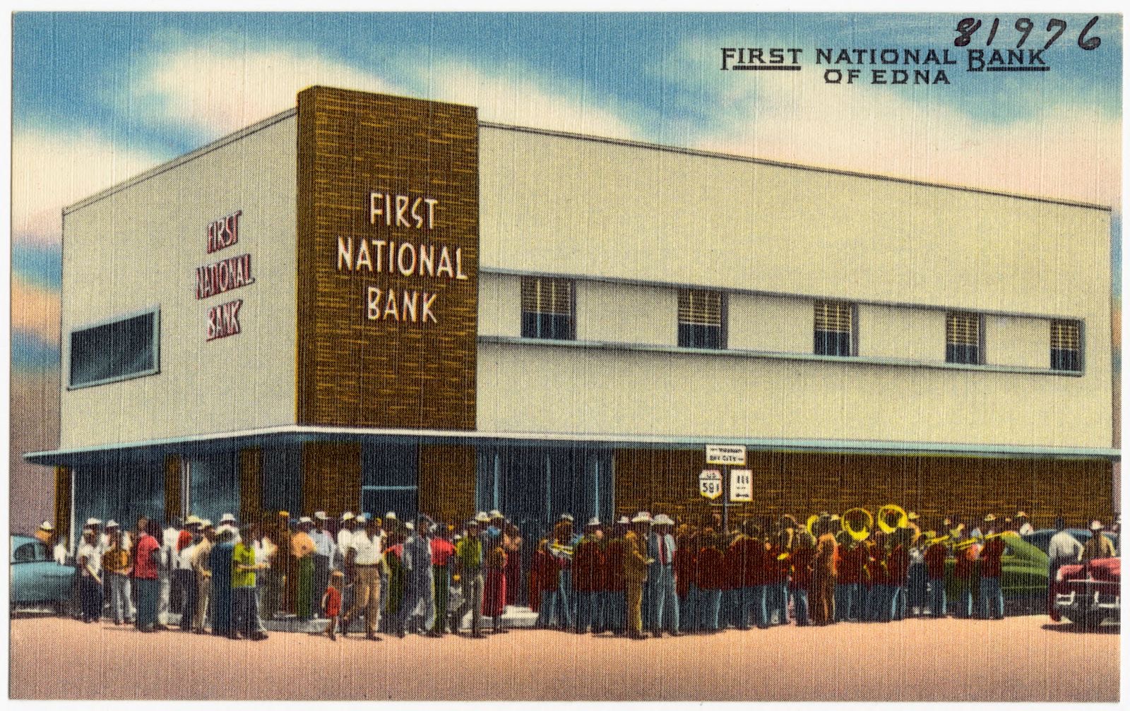
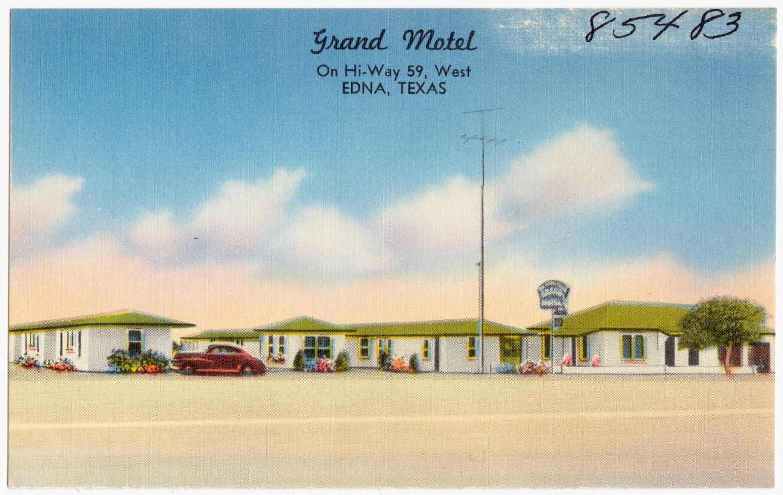
Selected from the Digital Public Library of America's 2 image records catalogued for this county. Every one shown here carries a public-domain status or a licence that permits reuse on a site that carries advertising; non-commercial, share-alike and restricted images are excluded. The selection is spread across the county's towns (at most eight per town), so no single institution's bulk upload crowds out the rest. Each opens the holding library's record, and the complete set at the Digital Public Library of America is one click away.
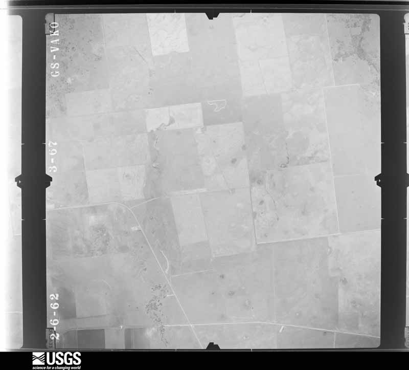
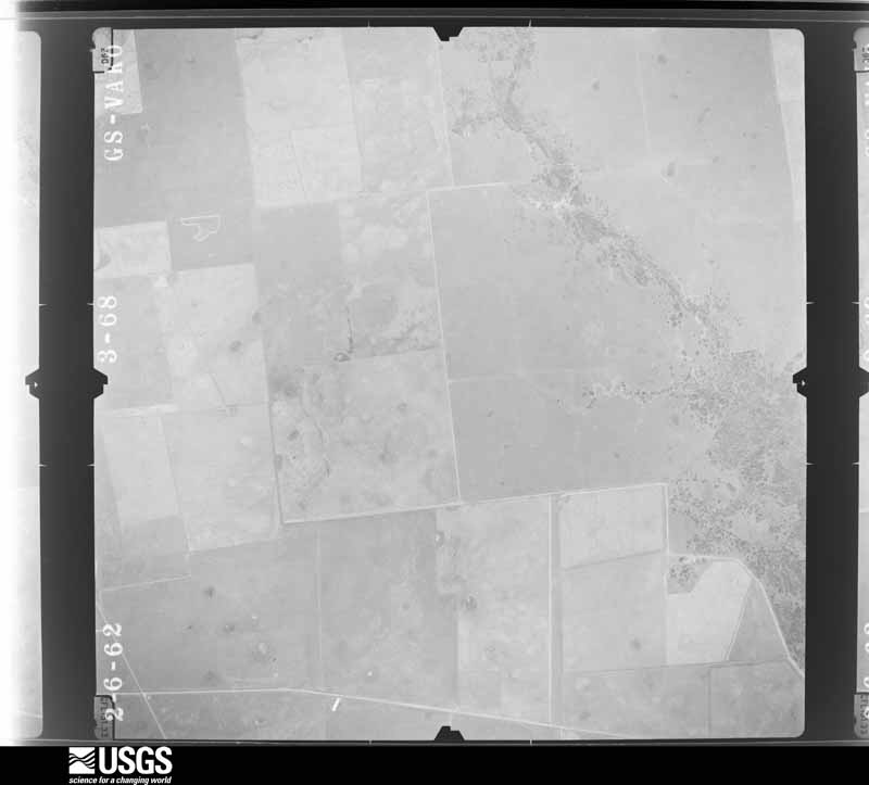
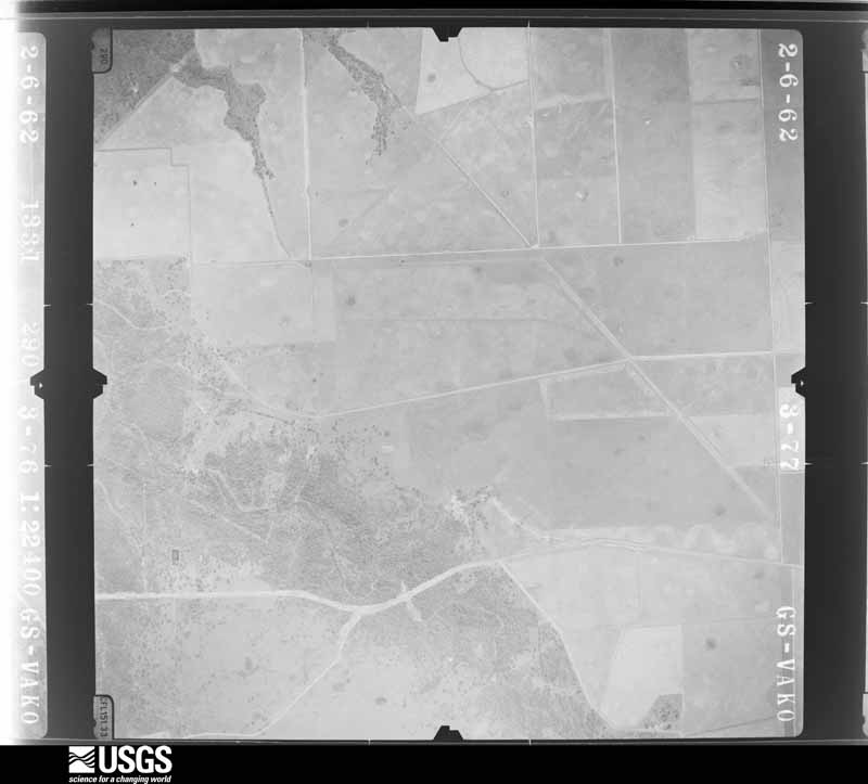
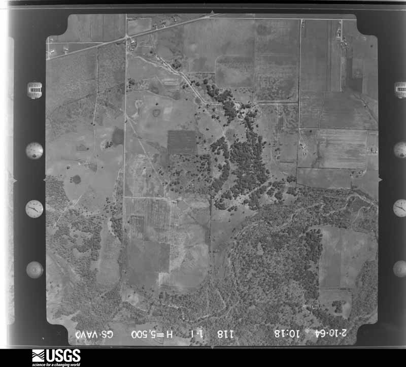
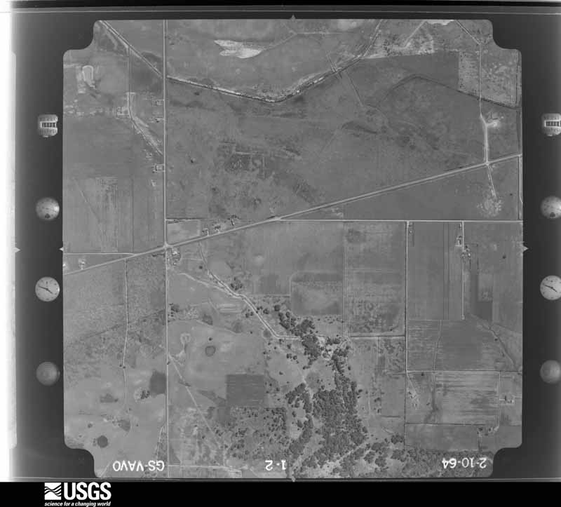
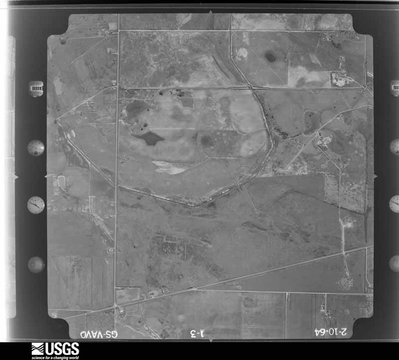
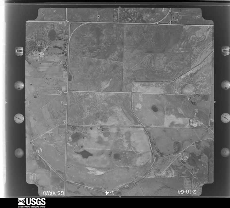
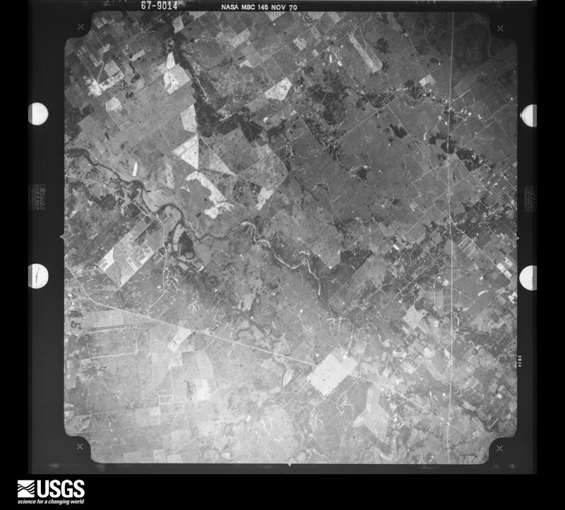
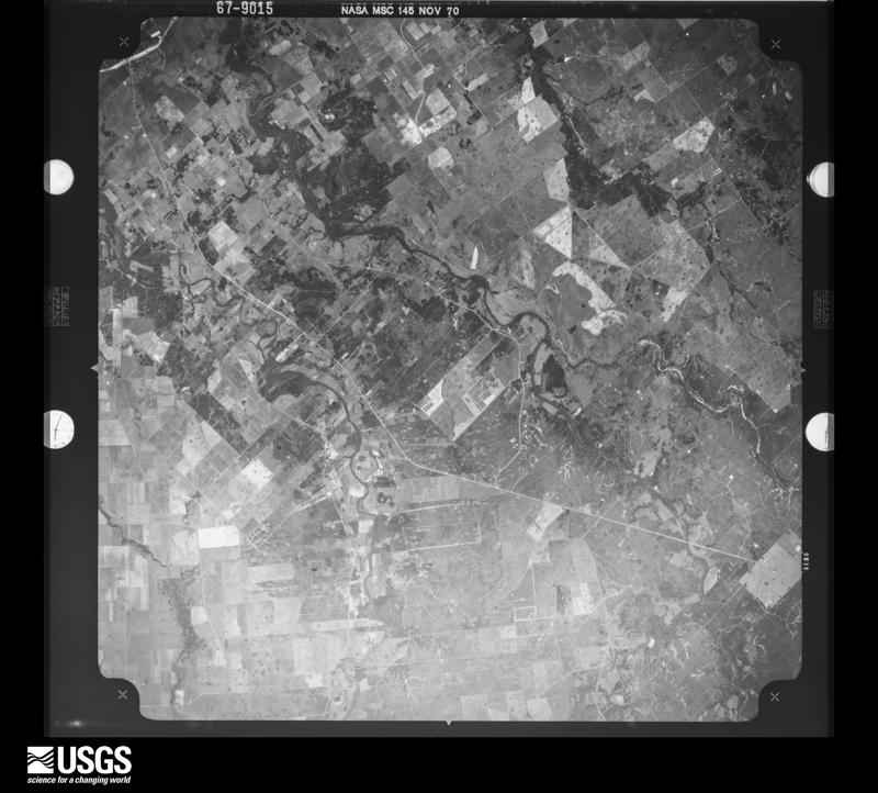
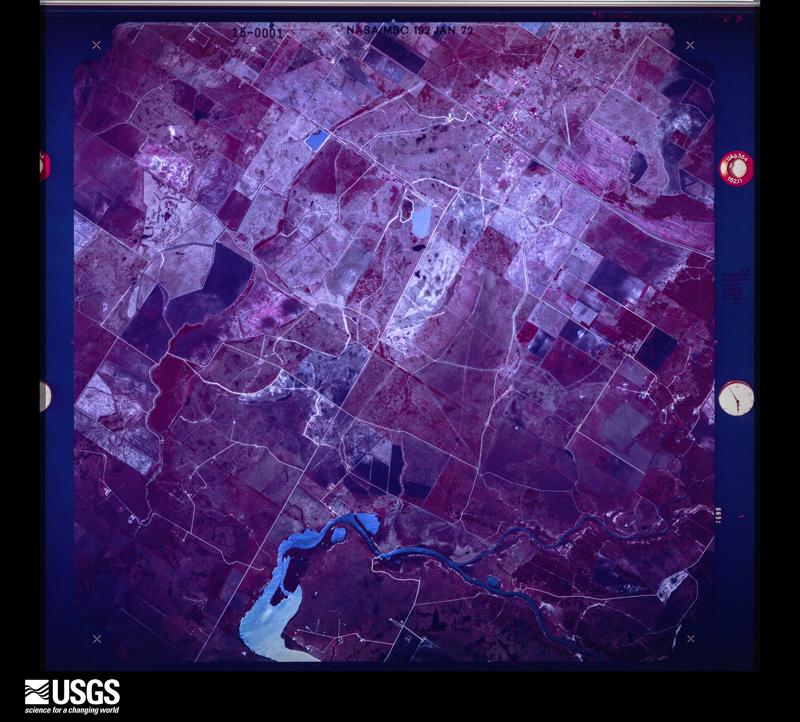
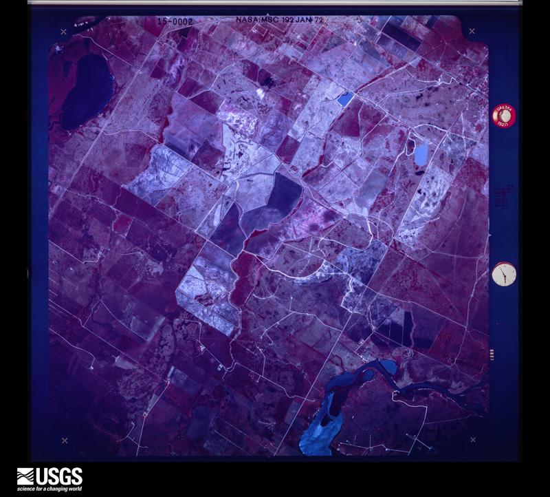
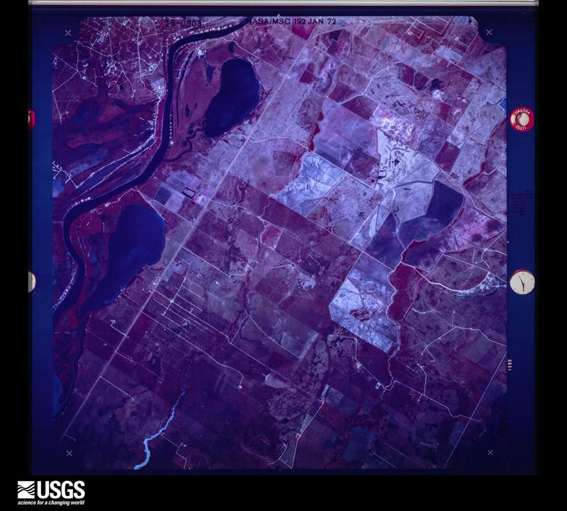
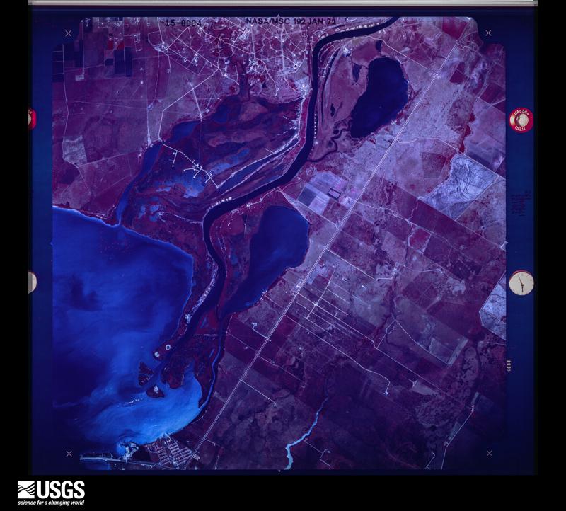
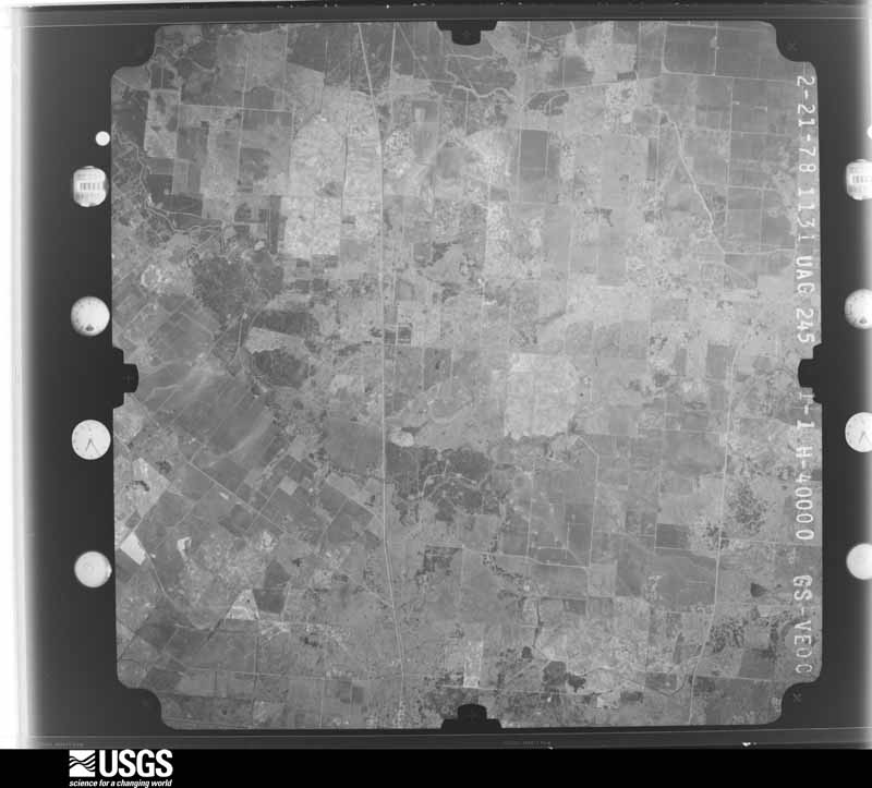
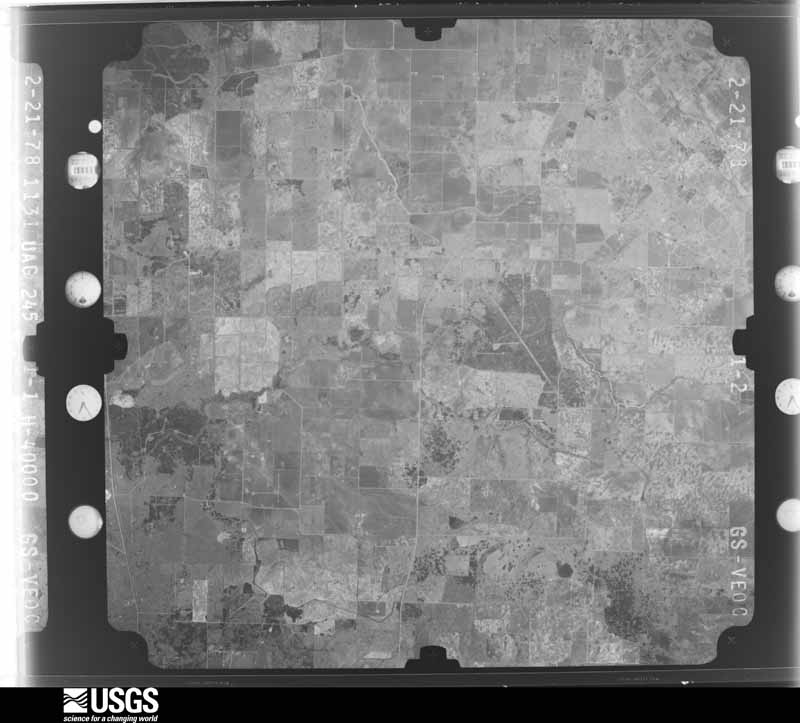
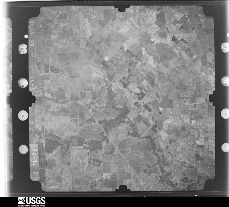
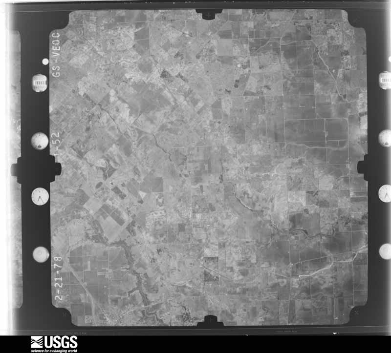
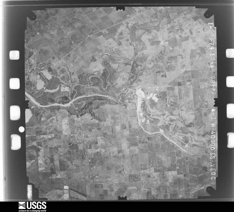
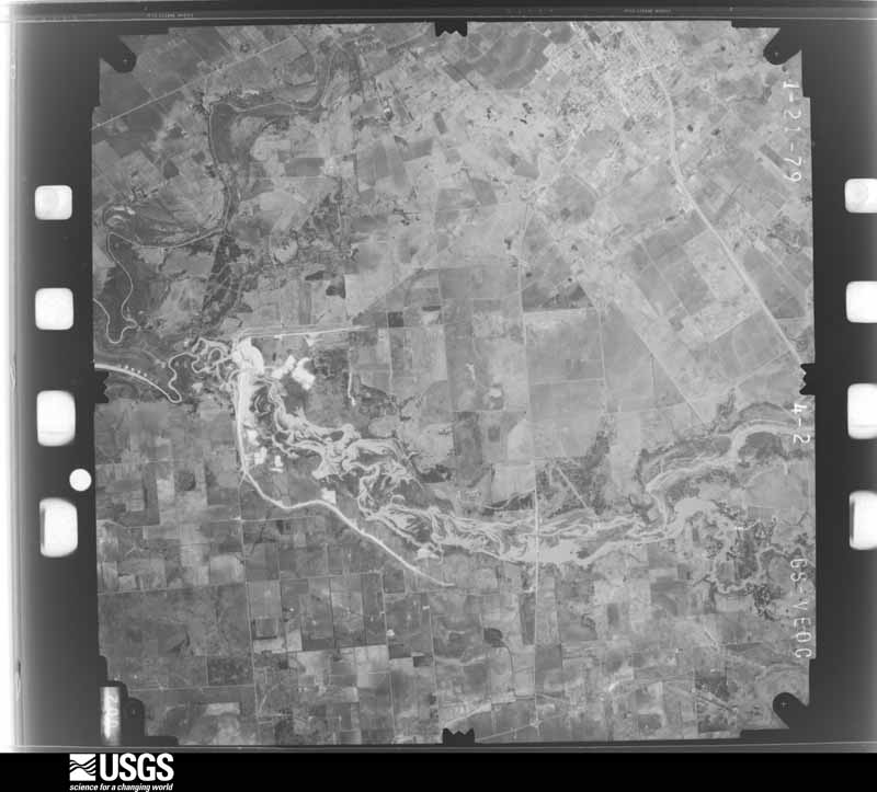
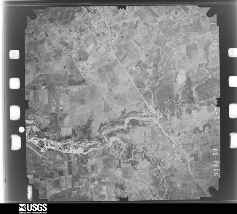
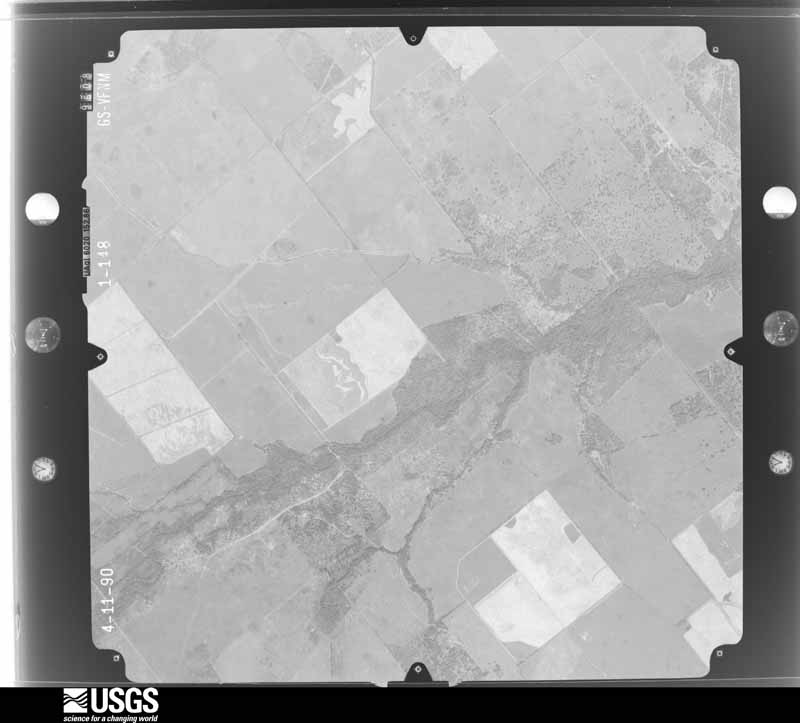
Flown by the U.S. Geological Survey between 1937 and 1989, the Aerial Photo Single Frames collection is the definitive mid-century view of the land: fields, roads and rivers as the camera saw them. The Survey holds 2,563 frames inside the rectangle that bounds this county; the 44 frames below were taken over the county itself, chosen across the decades of flights (at most four a year from that rectangle), so one flight cannot crowd out the rest. The full set is free to browse and download at EarthExplorer under the dataset Aerial Photo Single Frames.
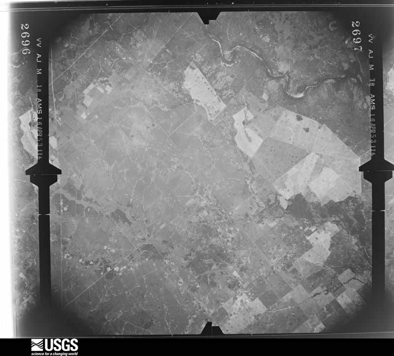
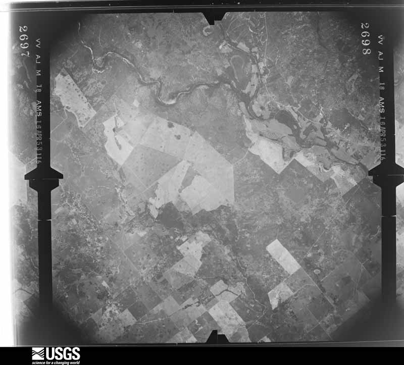
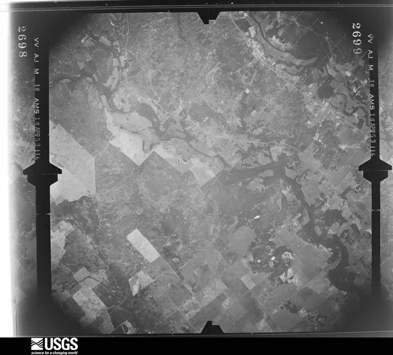

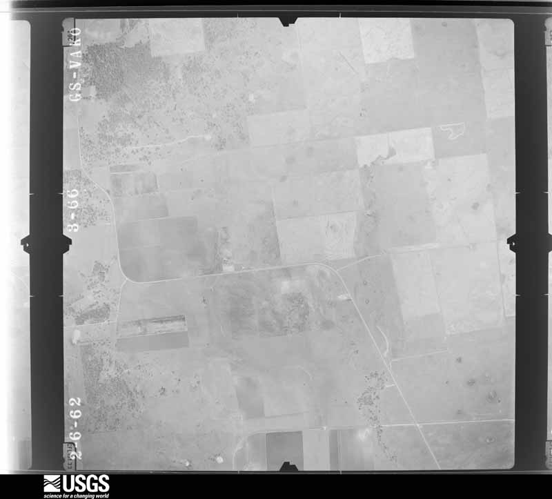










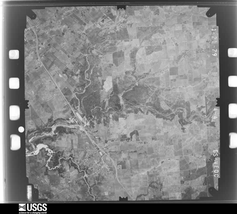

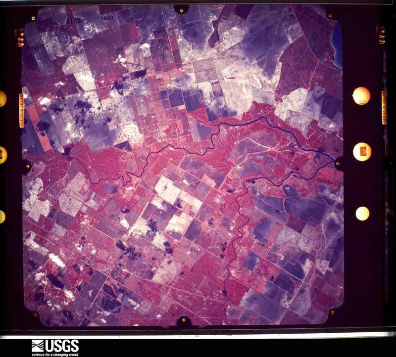
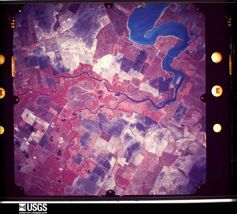
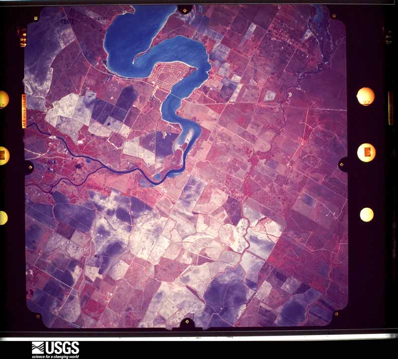



The thermometers that kept this county's weather, and the gages that measured the flow of its streams, as the federal records hold them. The extremes below are measured values from those records, not estimates.
Who lived here in 1950, one enumeration district at a time, as the Census Bureau described each district. Each row opens its official National Archives result, with Population Schedules and ED Maps available there.
Every wildfire the federal occurrence database records inside this county: 60 of them, burning about 7,242 acres. 1 started naturally and none was recorded as arson. Each settlement page carries the fires within five miles of it.
| Reported cause | Fires |
|---|---|
| Debris and open burning | 24 |
| Missing data/not specified/undetermined | 20 |
| Equipment and vehicle use | 8 |
| Power generation/transmission/distribution | 3 |
| Smoking | 3 |
| Railroad operations and maintenance | 1 |
| Natural | 1 |
The five largest, by the area the report gives. None of them was recorded as arson.
| Date | Cause | Size | Reported by | Name on the report |
|---|---|---|---|---|
| 28 February 2011 | Missing data/not specified/undetermined | 3,500 acres | Texas A & M Forest Service | FM 234 & CR 105 |
| 28 February 2009 | Missing data/not specified/undetermined | 2,000 acres | Texas A & M Forest Service | HWY 59/JACKSON CO. CR 317 |
| 29 January 2017 | Missing data/not specified/undetermined | 262 acres | Texas A & M Forest Service | TEJANO |
| 12 April 2020 | Missing data/not specified/undetermined | 200 acres | Texas A & M Forest Service | EL LOBO |
| 5 September 2000 | Missing data/not specified/undetermined | 200 acres | Texas A & M Forest Service | SOUTH BRANCH - 9 |
| 1 May 2011 | Power generation/transmission/distribution | 120 acres | Texas A & M Forest Service | CORDELE |
| 13 December 2011 | Debris and open burning | 100 acres | Texas A & M Forest Service | FM 127 & FM 822 |
| 26 August 2011 | Power generation/transmission/distribution | 100 acres | Texas A & M Forest Service | FM 822 |
Every settlement page carries the fires within five miles of it - see the settlement index below.
The NOAA Storm Events Database holds 201 reports for this county, causing no deaths, 11 injuries and about $3,953,750 in recorded property damage. Each settlement page carries the reports that name it.
| Kind of event | Reports |
|---|---|
| Thunderstorm Wind | 63 |
| Hail | 52 |
| Tornado | 43 |
| Flash Flood | 31 |
| Funnel Cloud | 11 |
| Flood | 1 |
The most serious of them, by death, then injury, then recorded damage. The accounts are quoted exactly as the forecast office filed them.
| When | Event | Place named | Harm | What the report says |
|---|---|---|---|---|
| September 1961 | Tornado (F3) | not stated | 3 hurt, $25,000 | no account filed |
| September 1967 | Tornado (F3) | not stated | 3 hurt | no account filed |
| June 1991 | Tornado (F0) | not stated | 2 hurt, $25,000 | no account filed |
| May 1984 | Tornado (F0) | not stated | 1 hurt, $250,000 | no account filed |
| September 1967 | Tornado | not stated | 1 hurt, $25,000 | no account filed |
| September 1967 | Tornado | not stated | 1 hurt, $25,000 | no account filed |
| September 2023 | Thunderstorm Wind | Edna | $500,000 | Widespread straight line wind damage was reported across parts of Jackson County as a strong thunderstorm moved through the area. This included extensive tree damage as well as damage to power lines and some buildings. |
| November 2004 | Flash Flood | Countywide | $500,000 | Widespread major flooding in Edna and Ganado with aerial rescues. Only Ganado's main street passable. 79 homes and businesses received minor or major flood damage with 56 of these facilities in Ganado. |
| April 2026 | Thunderstorm Wind | Cordele | $400,000 | An emergency manager shared a photo of a snapped power line along FM 530. This represented the most intense wind damage from this storm, estimated at 118 mph based on ETL with a DoD of 4.||In the aftermath of this storm, an extensive coordination effort between local agencies, power companies and contractors were needed to clean up and repair damages across Jackson county. In total, 1,636 outages occurred across Jackson county as a result of these storms. 24 wooden power poles were broken with 52 broken crossarms. 61 poles had their wires pulled off from the winds. 80 field personnel and 25 office staff were necessary to coordinate recovery. Total damages from the storm were estimated to cost between $350,000 to $400,000. |
| October 1991 | Tornado (F1) | not stated | $250,000 | no account filed |
| September 2023 | Tornado (EF0) | Edna | $200,000 | Eye witness observed small funnel passing over eastern end of Cottonwood Apartments, damaging a building there, then proceeding to strike a metal storage unit. Swirling tin, debris was observed. |
| May 2023 | Flash Flood | Weedhaven | $200,000 | Streets and homes were flooded across the Boca Chica Subdivision along County Road 473. |
| August 2017 | Flash Flood | Morales | $100,000 | Numerous roads and bridges north of Highway 59 and west of FM 822 were inundated with flood waters. |
| August 2017 | Flash Flood | Morales | $100,000 | County roads 283, 284, 401, and 127 north of the town of Edna were inundated with flood waters. |
| August 2001 | Flash Flood | Countywide | $80,000 | High water on several roads throughout county. |
| March 1995 | Tornado (F0) | Washington Cnty | $70,000 | Sheriffs reported a tornado on Zoo Road. A roof was blown off and other roofs damaged. |
| September 2002 | Thunderstorm Wind | Cordele | $50,000 | Three barns damaged and phone poles down (reported by Lavaca Navidad River Authority). |
| October 1994 | Tornado (F0) | Edna | $50,000 | A tornado in Edna damaged a lumberyard, some trees and a few homes. A tin roof from the lumberyard was found 1 mile from the original location. There were also reports of roof damage and poles through the windows at homes. |
| October 1993 | Thunderstorm Wind | Edna | $50,000 | Jackson County Sheriff's Offices reported nickel-size hail north of Edna. Approximately two hours later the Sheriff's Office reported two billboards near the intersection of Highway 59 and 234 destroyed. |
| July 2000 | Hail | Ganado | $50,000 | no account filed |
| May 2007 | Thunderstorm Wind | Edna | $45,000 | Gas station awning blow off, overturned mid-size vehicles, and significant tree limb damage. |
| September 2001 | Flash Flood | Countywide | $45,000 | Numerous secondary roads flooded. |
| May 2011 | Hail | Ganado | $30,000 | Windows were broken out on vehicles, houses and an apartment complex due to tennis ball size hail. |
| May 2004 | Thunderstorm Wind | Edna | $30,000 | Trees down in Edna. |
| September 1998 | Flash Flood | Countywide | $30,000 | Numerous county roads closed due to high water. Volunteer evacuations for low-lying parts of Edna around noon. |
| April 2000 | Hail | Edna | $25,000 | no account filed |
| May 1999 | Hail | Cordele | $25,000 | no account filed |
| May 1999 | Thunderstorm Wind | Cordele | $25,000 | no account filed |
| June 1992 | Tornado (F1) | not stated | $25,000 | no account filed |
| June 1980 | Tornado (F1) | not stated | $25,000 | no account filed |
| June 1980 | Tornado (F1) | not stated | $25,000 | no account filed |
| April 1978 | Tornado (F1) | not stated | $25,000 | no account filed |
| May 1976 | Tornado (F1) | not stated | $25,000 | no account filed |
| May 1972 | Tornado (F1) | not stated | $25,000 | no account filed |
| September 1967 | Tornado | not stated | $25,000 | no account filed |
| September 1967 | Tornado | not stated | $25,000 | no account filed |
| February 1966 | Tornado (F3) | not stated | $25,000 | no account filed |
| June 2008 | Tornado (EF0) | Matilda | $20,000 | An EF0 tornado took the roof off of a home. |
| May 2006 | Flash Flood | Ganado | $20,000 | Street flooding with water entering some buildings. |
| June 2004 | Flash Flood | Edna | $20,000 | Portions of County Road 112 closed due to high water. |
| August 2002 | Thunderstorm Wind | Countywide | $20,000 | Trees and power lines blown down across southern half of county including cities of Lolita, Edna and Vanderbilt. |
| November 1998 | Flash Flood | Countywide | $20,000 | Numerous roads closed across the area including CR's 112, 282, 462, 319, and 320. |
| June 1997 | Tornado (F0) | Edna | $20,000 | Large trees uprooted, windows broken, and roofs damaged along the path. |
| June 1995 | Thunderstorm Wind | Lake Livingston | $20,000 | Sheriff reported street flooding. |
| March 2002 | Hail | Ganado | $20,000 | no account filed |
| May 2011 | Thunderstorm Wind | Cordele | $15,000 | Strong thunderstorm winds ripped a roof off of a trailer home. |
| May 2006 | Hail | Edna | $15,000 | Quarter size hail. |
| December 2002 | Hail | Ganado | $15,000 | 2.75 inch hail in Ganado. |
| August 2002 | Thunderstorm Wind | Edna | $15,000 | Lavaca Navidad River Authority has equipment shed wall blown out, roof caved in; large tree limbs down. |
| September 1998 | Flash Flood | Countywide | $15,000 | Still have 21 roads closed due to flooding. |
| October 1998 | Flash Flood | Edna | $15,000 | Street flooding in Edna became more widespread through the period. |
| May 2020 | Flash Flood | Matilda | $10,000 | Numerous roads impassable in the Edna area along with water in a couple residential homes and a retirement home in Ganado. Large dumpsters floating in some Ganado streets. |
| April 2004 | Hail | Morales | $10,000 | Quarter-size hail in Morales. |
| April 2004 | Hail | Edna | $10,000 | Penny-size hail in Edna. |
| November 1998 | Flash Flood | Countywide | $10,000 | Numerous roads flooded. |
| May 1997 | Thunderstorm Wind | Ganado | $10,000 | Utility poles and trees blown down |
| September 1995 | Thunderstorm Wind | not stated | $10,000 | Power lines blown down across Ganado and 10 miles SE of Edna. |
| March 2002 | Hail | Edna | $10,000 | no account filed |
| May 1997 | Hail | Lolita | $10,000 | no account filed |
| May 1997 | Hail | Vanderbilt | $10,000 | no account filed |
The Survey's mineral resources record lists 1 working inside this county. It still produces. Each settlement page carries the workings within five miles of it.
| Commodity | Workings |
|---|---|
| Sand and Gravel, Construction | 1 |
The least common of them first, because a county's hundredth gravel pit says nothing its first ten did not.
| Where | Site | Commodity | Status | Recorded |
|---|---|---|---|---|
| Harston Gravel Plant and Pit | Sand and Gravel, Construction | Producer |
Named settlements recorded in the Geographic Names Information System, each with the topographic sheets covering it. Villages, hamlets and abandoned places alike. Each is shown with the nearest named watercourse or landform and the survey quadrangle it falls on.
La Ward-Lolita census division · 77465 · Near Fivemile Draw · Olivia quadrangle
8 sheets, 1952 to 1995
Edna-Cordele census division · 77957 · On Stem Branch · Morales quadrangle
8 sheets, 1953 to 1994