 Block
BlockFrom the record
5 National Register listings published here, 1 of them a National Historic Landmark.
Sources: the National Register database, National Park Service
36 topographic sheets cover 7 settlements here, and 5 properties are on the National Register of Historic Places.
5 National Register listings published here, 1 of them a National Historic Landmark.
Sources: the National Register database, National Park Service
Every property in this county listed on the National Register of Historic Places, with the year it was listed and the federal nomination document.
| Photograph | Property | Type | Listed | Reference |
|---|---|---|---|---|
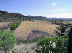 | Fort Davis, Post Hospital | building | 1966 | 66000045 |
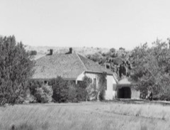 | Grierson-Sproul House | building | 1982 | 82004508 |
| Hotel Limpia | building | 2025 | 100011474 | |
 | Jeff Davis County Courthouse | building | 2002 | 02000728 |
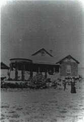 | Henry M. and Annie V. Trueheart House | building | 1996 | 96001014 |
Drawn when these were printed as single large sheets: the town seen from the air, and the county divided into its farms with every owner named. Each opens the original at the Library of Congress.
![Land ownership map, 1894 - [Map of portions of Jeff Davis County and Presidio County, Texas]](assets/locview_2010587197.jpg)
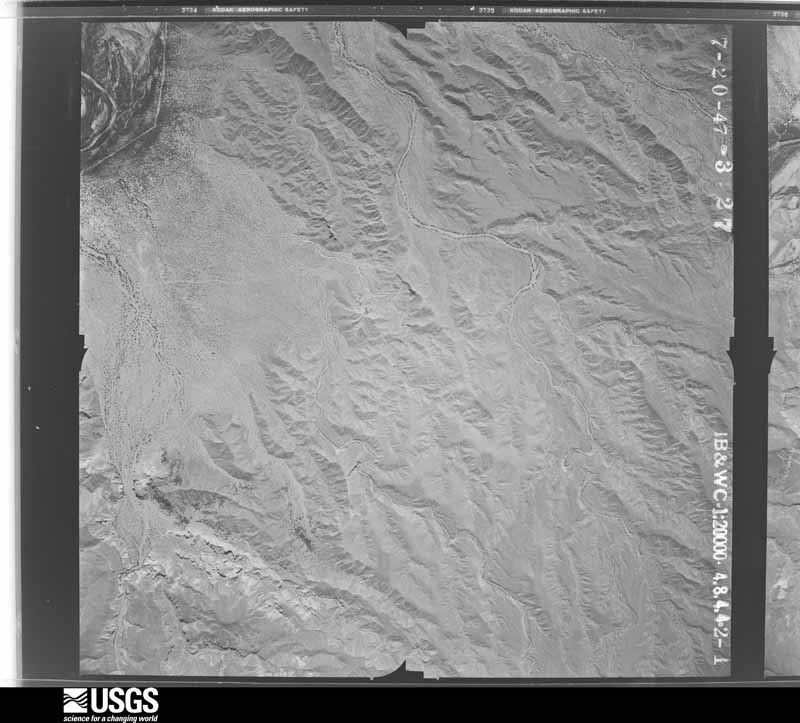
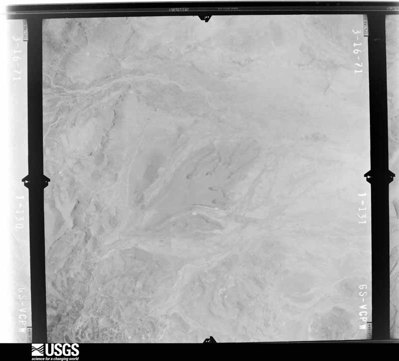
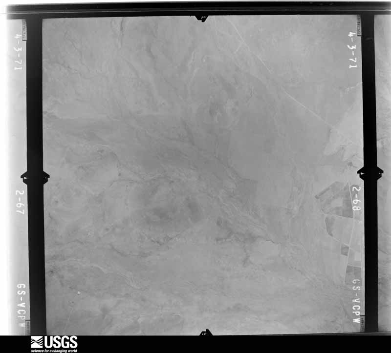
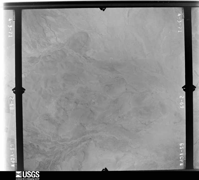
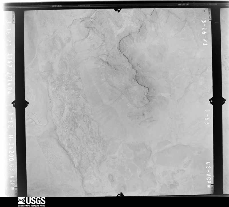
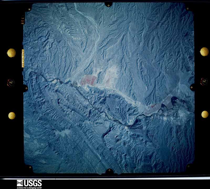
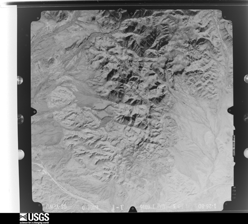
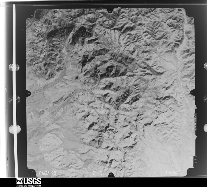
Flown by the U.S. Geological Survey between 1937 and 1989, the Aerial Photo Single Frames collection is the definitive mid-century view of the land: fields, roads and rivers as the camera saw them. The Survey holds 3,271 frames inside the rectangle that bounds this county; the 48 frames below were taken over the county itself, chosen across the decades of flights (at most four a year from that rectangle), so one flight cannot crowd out the rest. The full set is free to browse and download at EarthExplorer under the dataset Aerial Photo Single Frames.
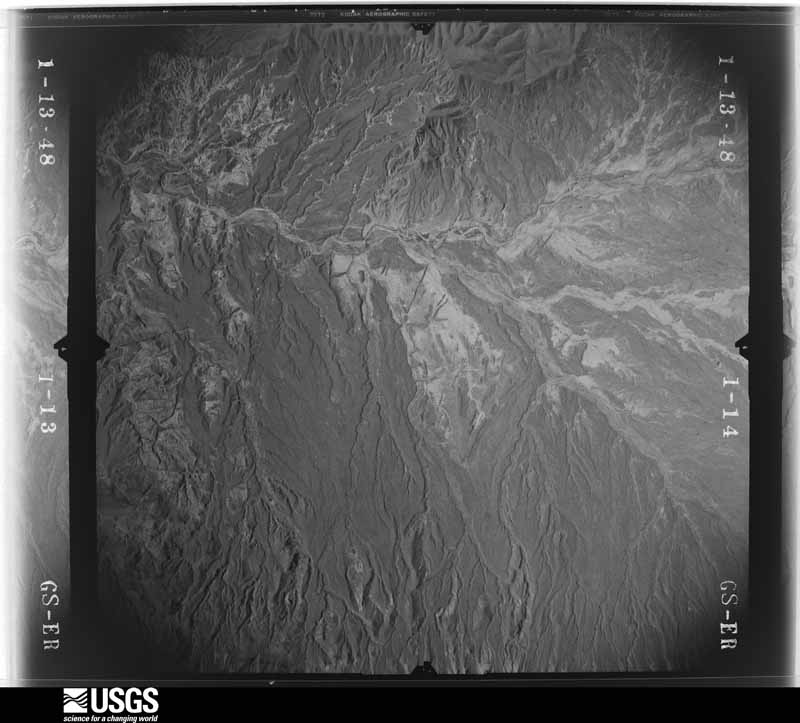
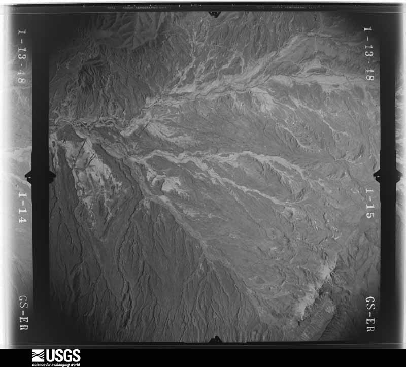
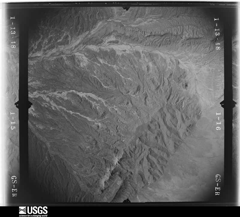
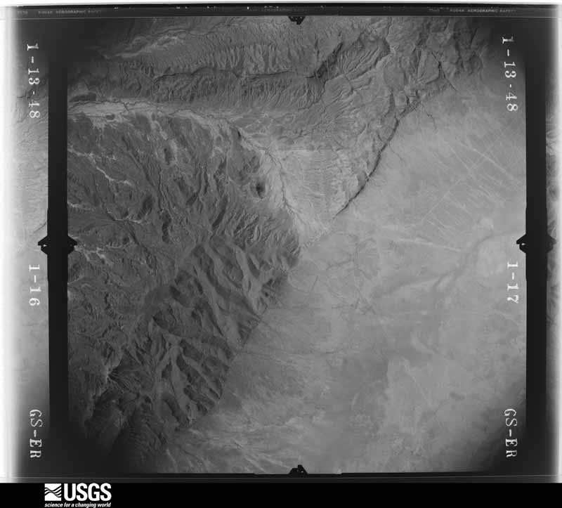
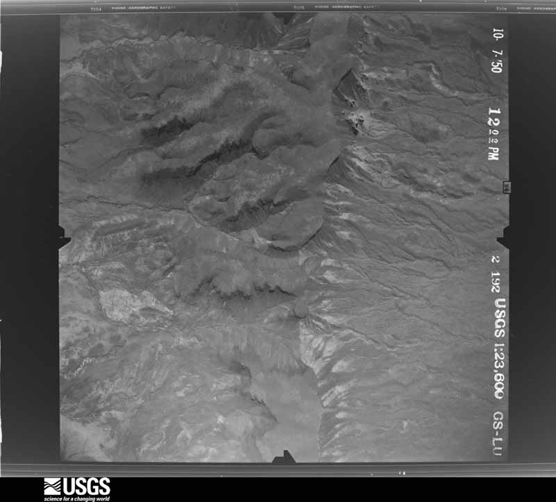
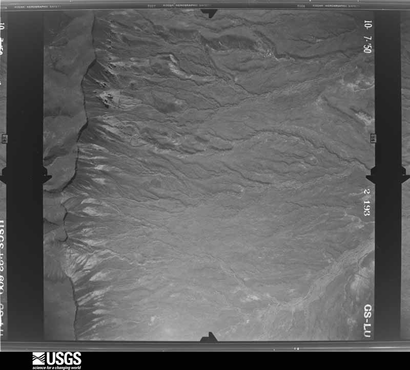
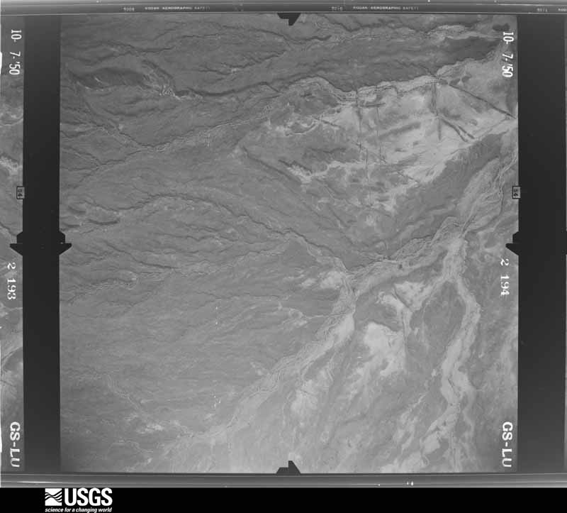
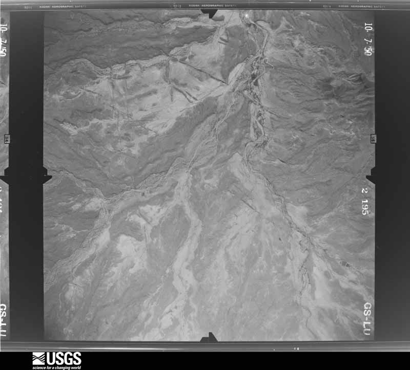
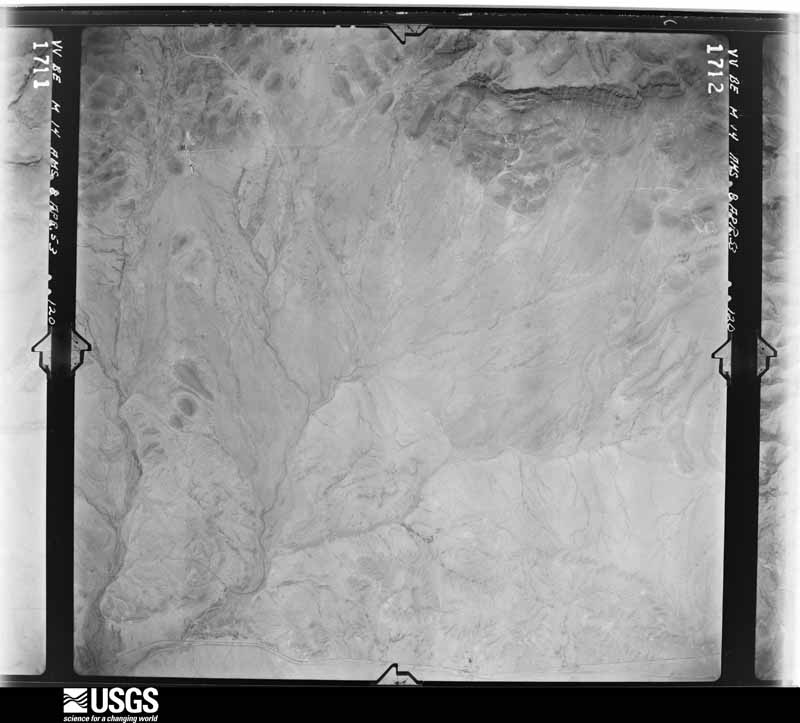
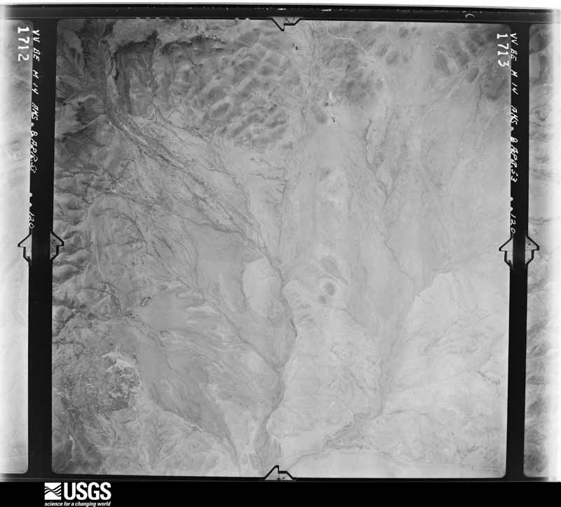
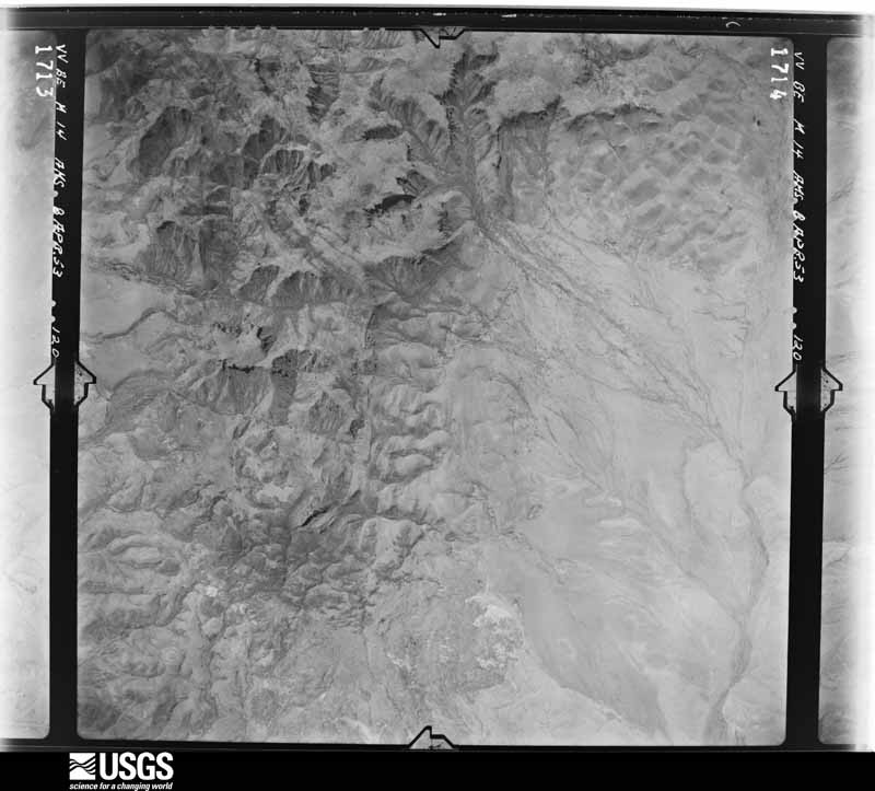
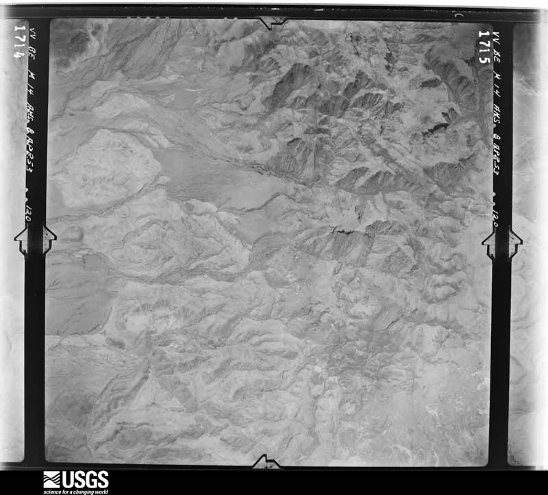
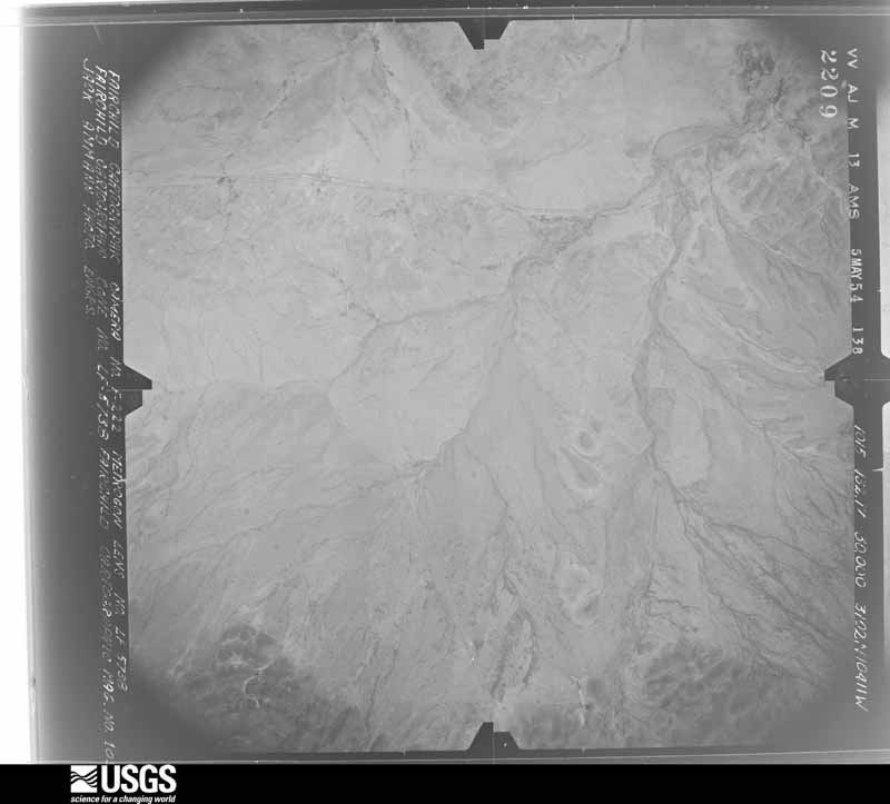
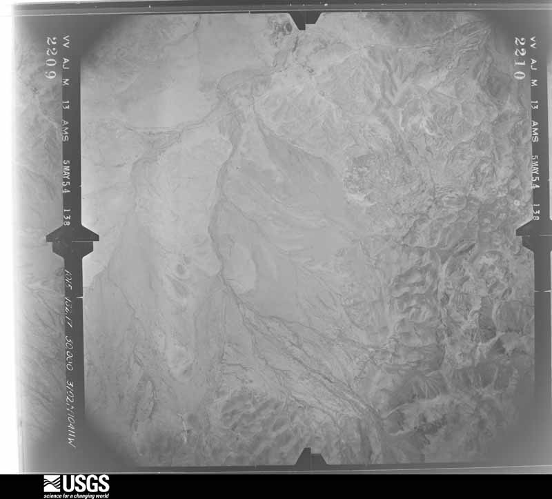
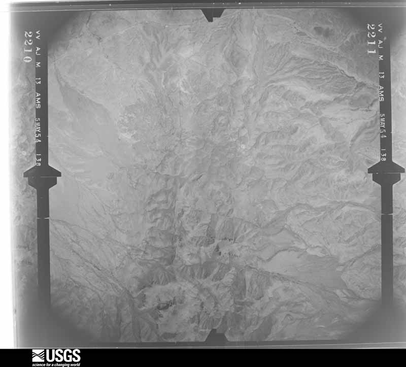
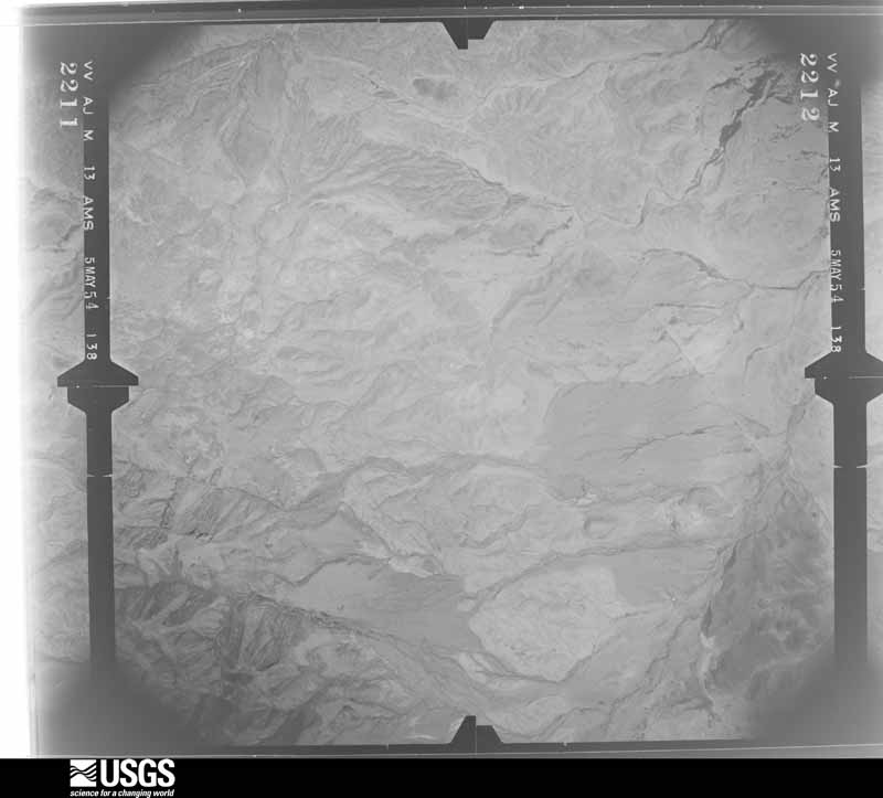
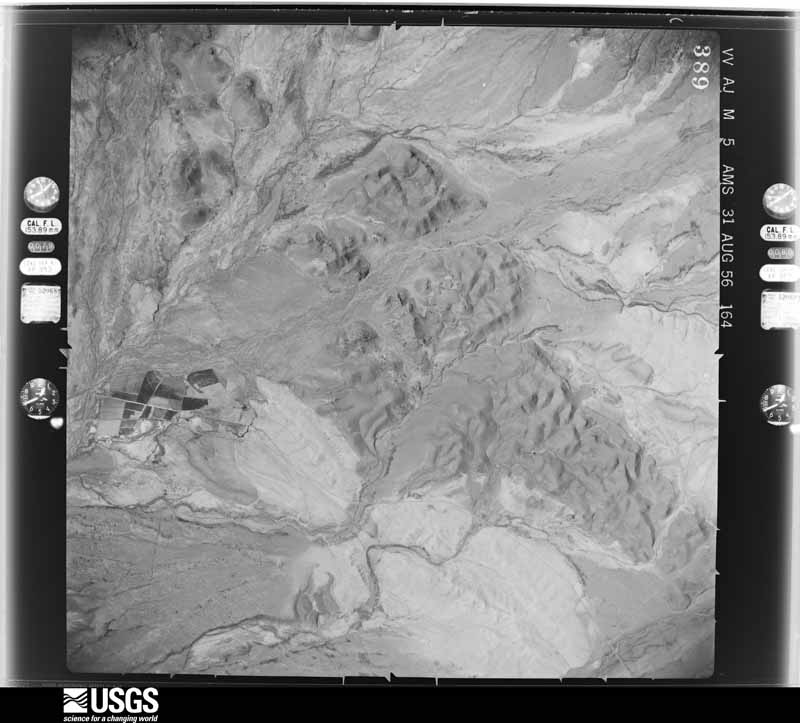
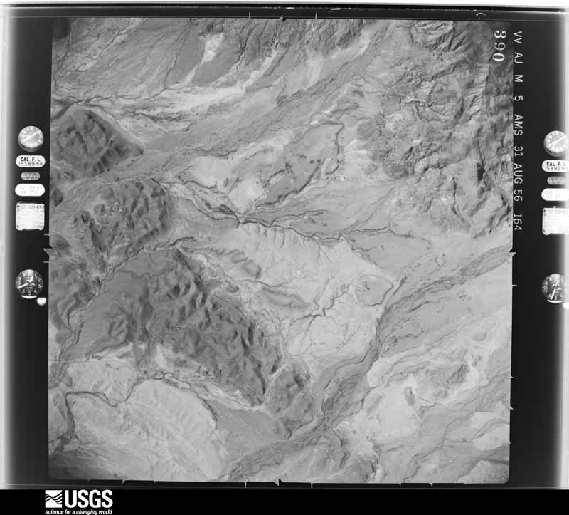
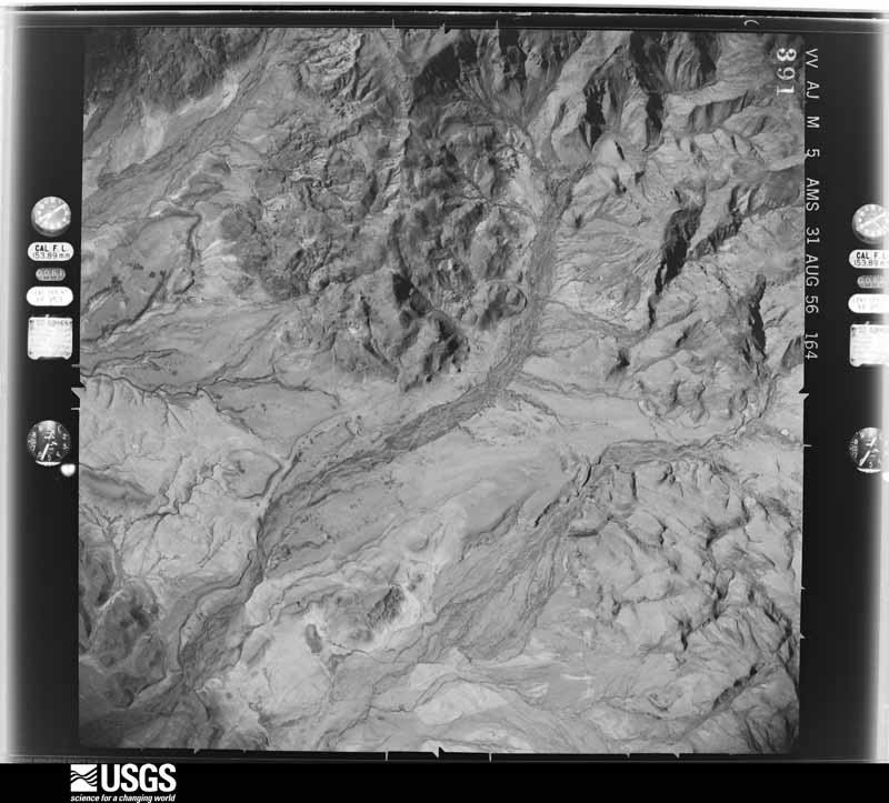
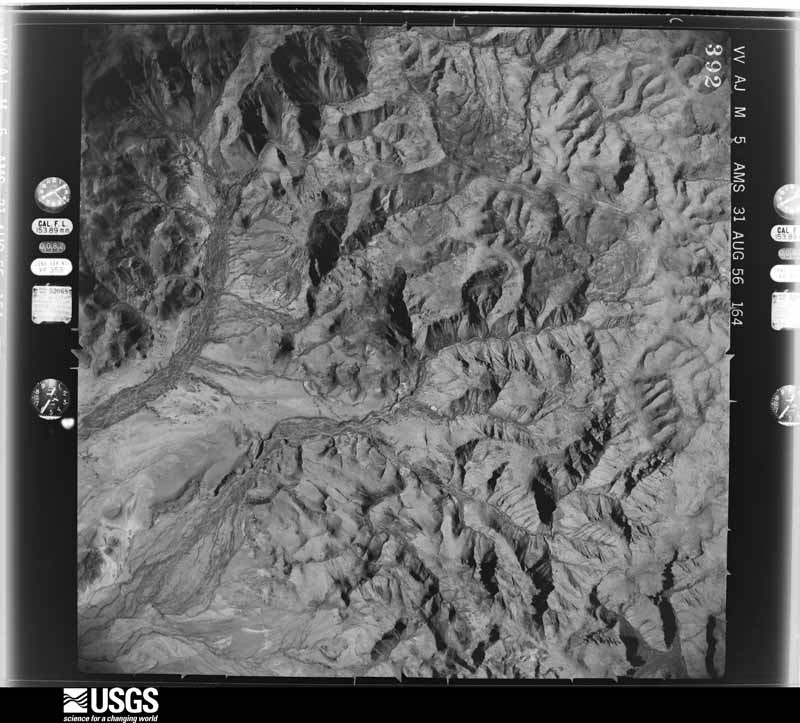
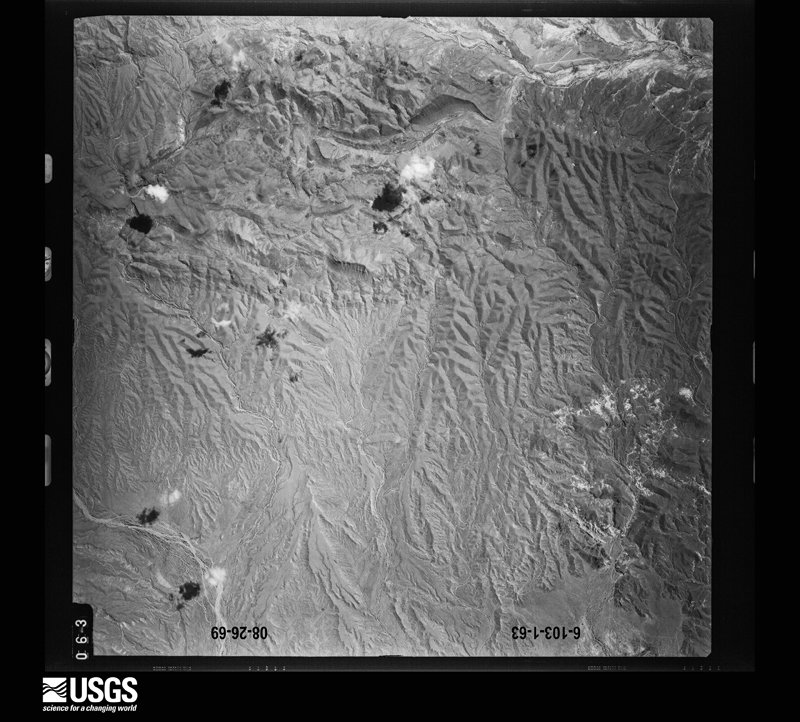
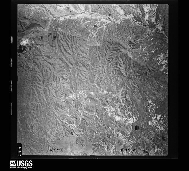
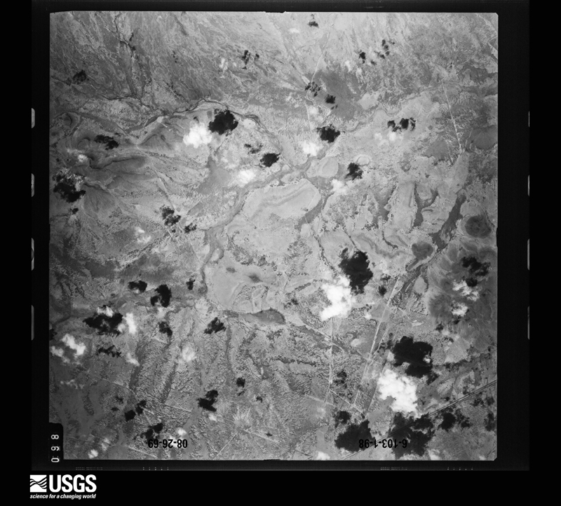
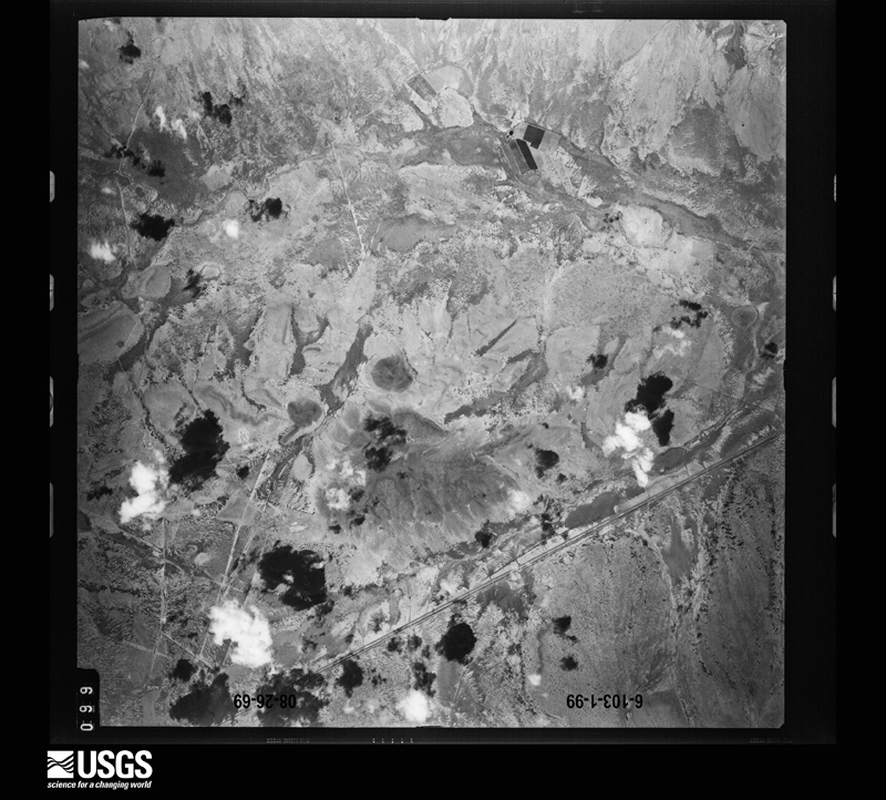
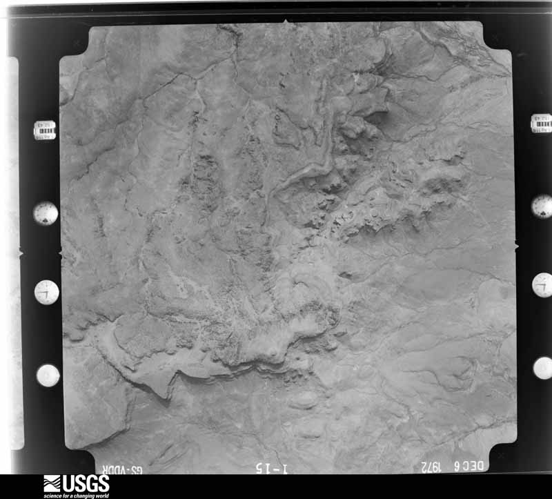
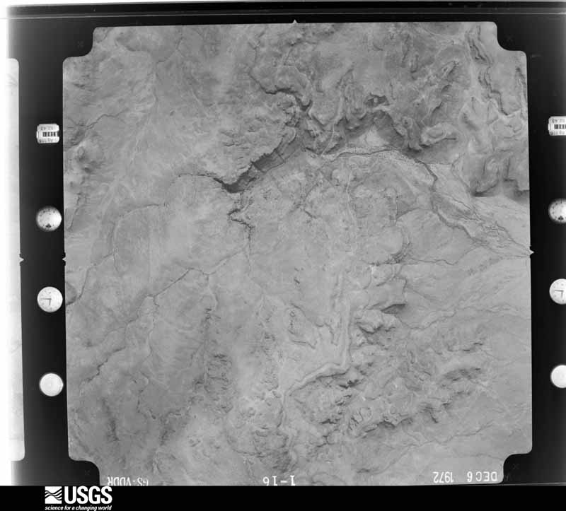
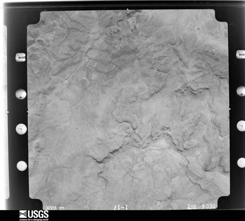
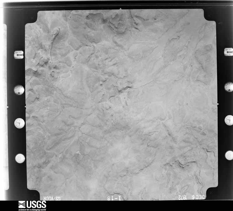
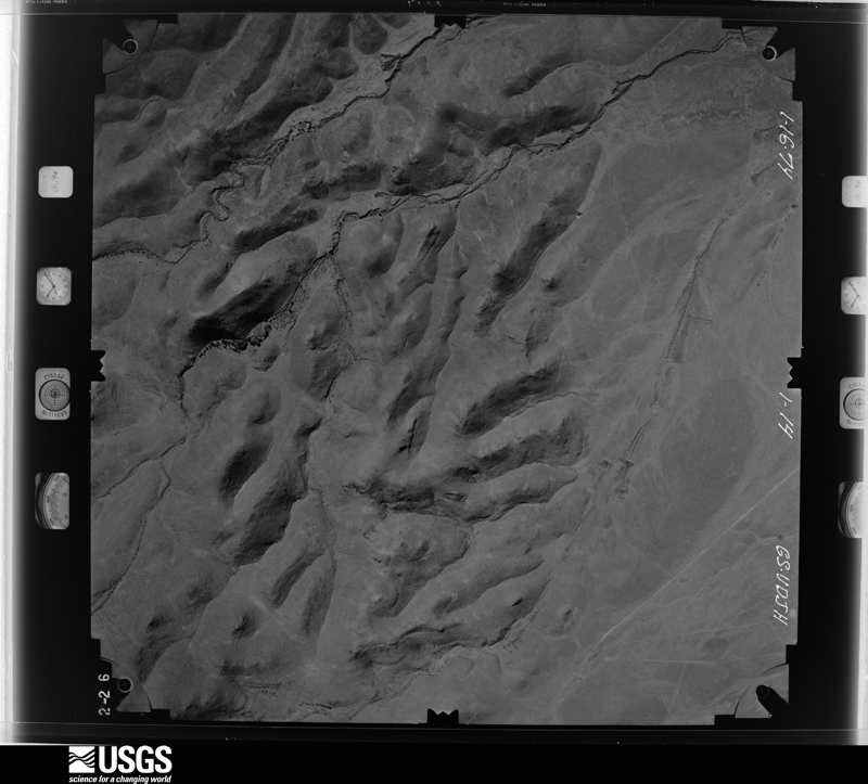
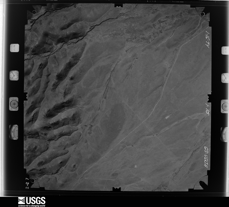
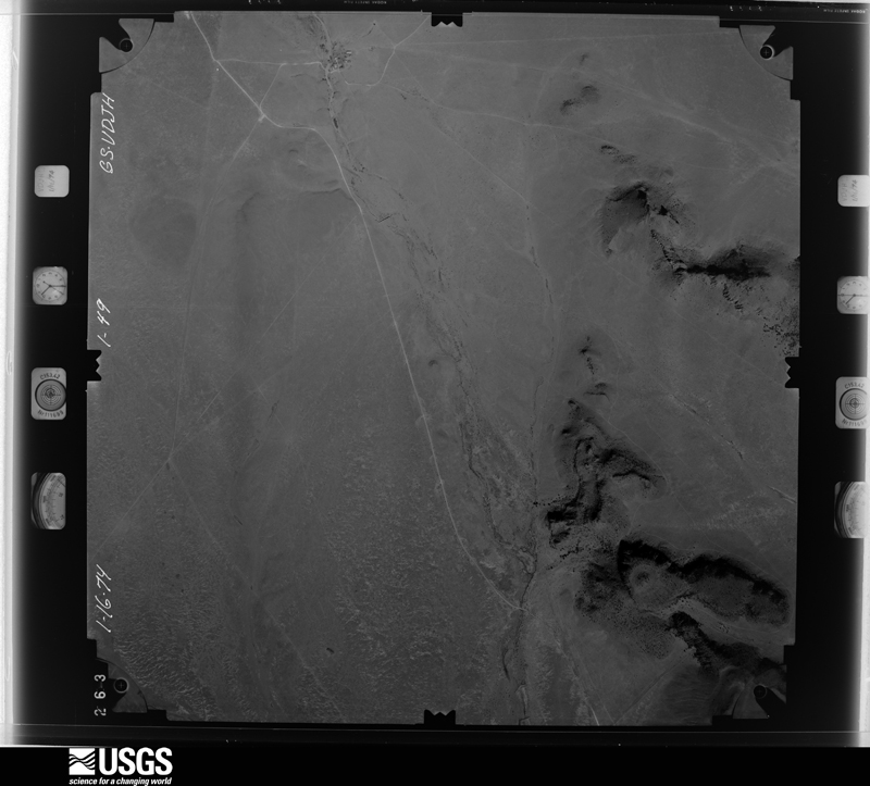
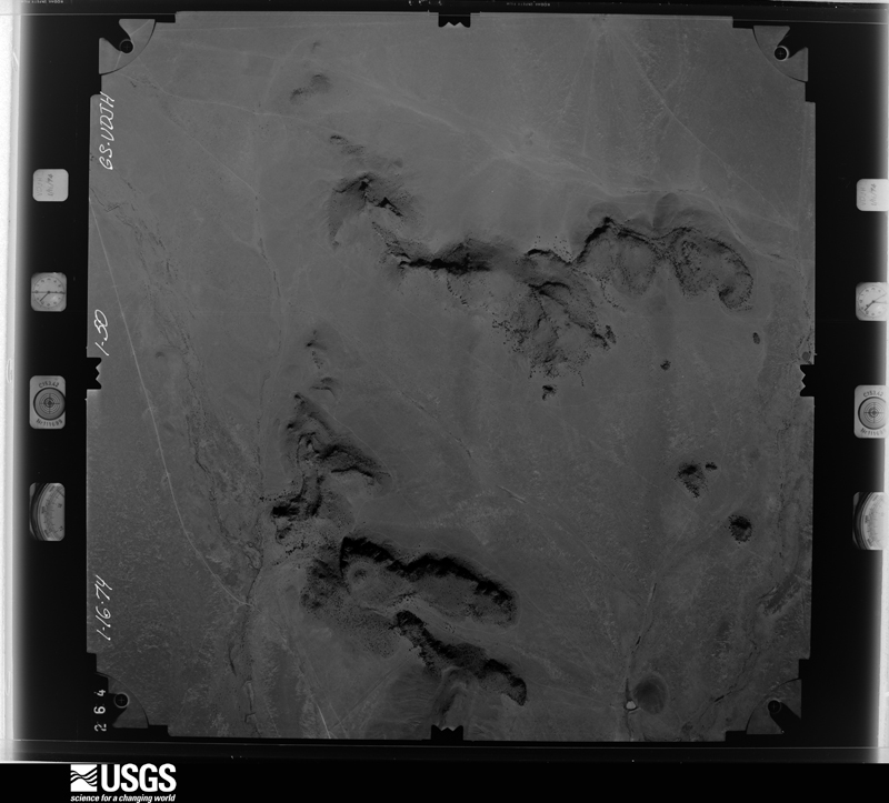
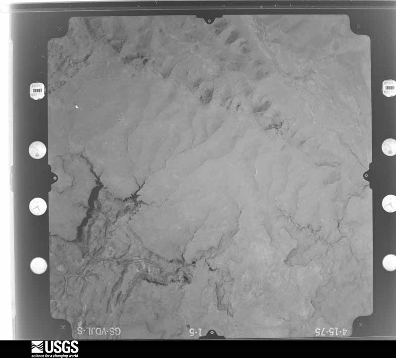
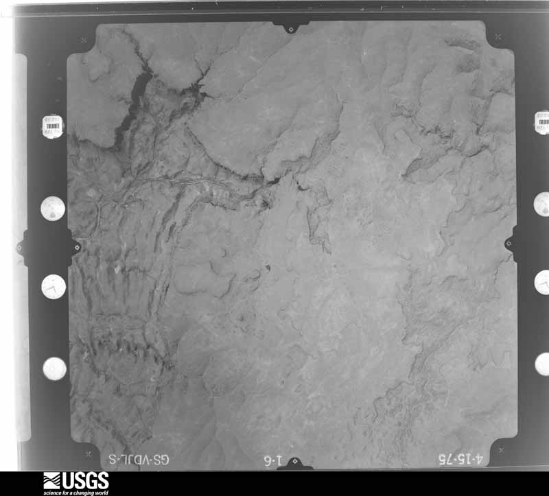
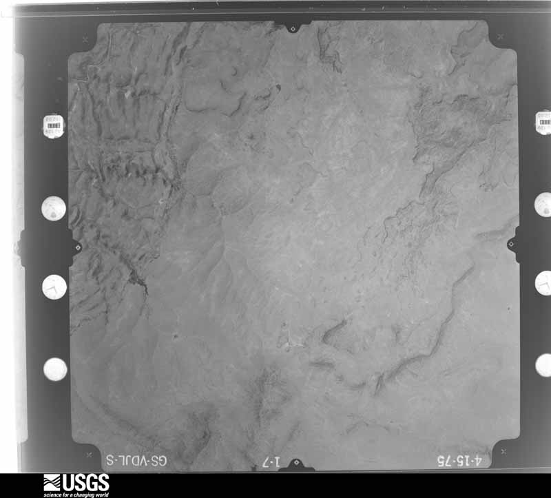
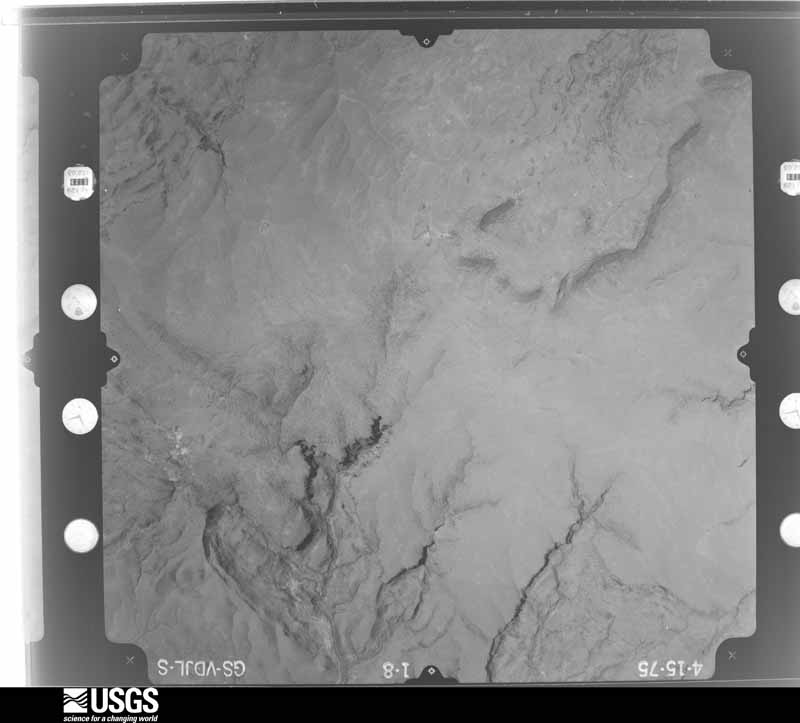
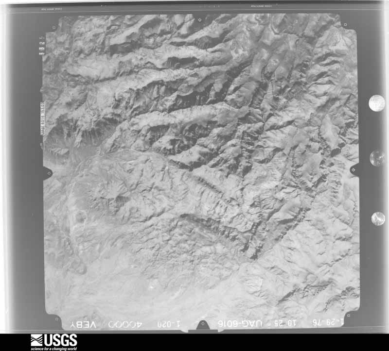
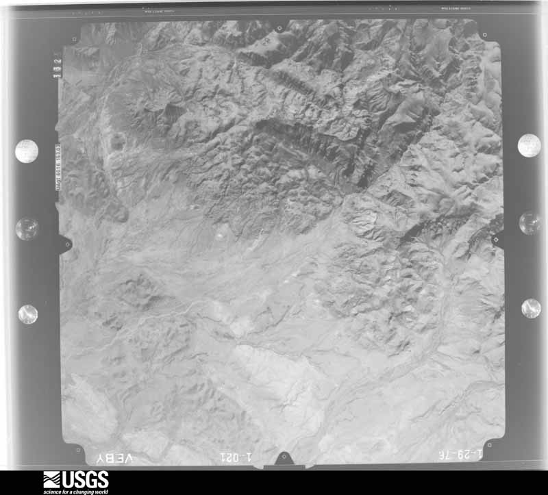
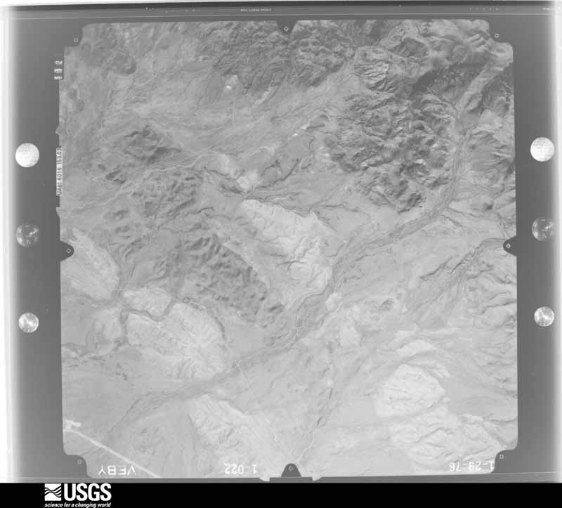
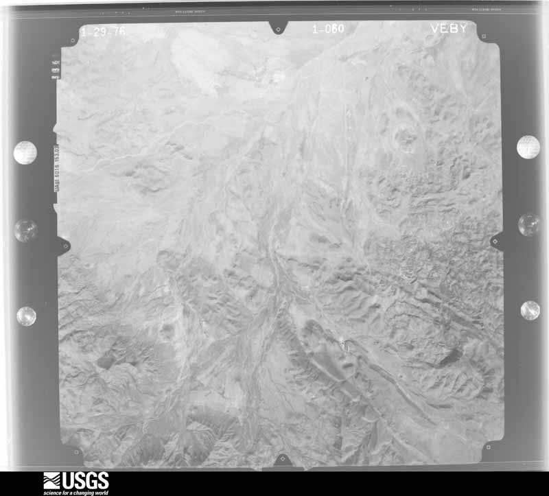
The thermometers that kept this county's weather, and the gages that measured the flow of its streams, as the federal records hold them. The extremes below are measured values from those records, not estimates.
Who lived here in 1950, one enumeration district at a time, as the Census Bureau described each district. Each row opens its official National Archives result, with Population Schedules and ED Maps available there.
Every wildfire the federal occurrence database records inside this county: 330 of them, burning about 531,438 acres. 202 started naturally and 3 were recorded as arson. Each settlement page carries the fires within five miles of it.
| Reported cause | Fires |
|---|---|
| Natural | 202 |
| Missing data/not specified/undetermined | 71 |
| Equipment and vehicle use | 17 |
| Power generation/transmission/distribution | 11 |
| Smoking | 11 |
| Debris and open burning | 8 |
| Arson/incendiarism | 3 |
| Railroad operations and maintenance | 3 |
| Recreation and ceremony | 3 |
| Misuse of fire by a minor | 1 |
The five largest, by the area the report gives. None of them was recorded as arson.
| Date | Cause | Size | Reported by | Name on the report |
|---|---|---|---|---|
| 9 April 2011 | Missing data/not specified/undetermined | 314,444 acres | Texas A & M Forest Service | ROCKHOUSE FIRE |
| 5 June 2018 | Natural | 19,444 acres | Texas A & M Forest Service | SCENIC LOOP COMPLEX |
| 30 April 2018 | Natural | 19,043 acres | Texas A & M Forest Service | MCDANNALD |
| 1 June 1993 | Missing data/not specified/undetermined | 15,380 acres | Texas A & M Forest Service | MCIVOR FIRE |
| 1 June 1993 | Missing data/not specified/undetermined | 14,016 acres | Texas A & M Forest Service | DONAHOE FIRE |
| 24 April 2012 | Natural | 13,541 acres | Texas A & M Forest Service | LIVERMORE RANCH FIRE |
| 2 June 2011 | Equipment and vehicle use | 12,311 acres | Texas A & M Forest Service | TEJANO CANYON FIRE |
| 21 April 2012 | Natural | 10,576 acres | Texas A & M Forest Service | SPRING MOUNTAIN |
Every settlement page carries the fires within five miles of it - see the settlement index below.
The NOAA Storm Events Database holds 179 reports for this county, causing no deaths, no injuries and about $1,445,750 in recorded property damage. Each settlement page carries the reports that name it.
| Kind of event | Reports |
|---|---|
| Hail | 109 |
| Thunderstorm Wind | 29 |
| Flash Flood | 27 |
| Tornado | 12 |
| Heavy Rain | 2 |
The most serious of them, by death, then injury, then recorded damage. The accounts are quoted exactly as the forecast office filed them.
| When | Event | Place named | Harm | What the report says |
|---|---|---|---|---|
| August 2021 | Flash Flood | Ft Davis | $1,000,000 | Heavy rain resulted in flash flooding near Fort Davis. Highway 118 between Fort Davis and Alpine was washed out with water over the road. The cost of damage is a very rough estimate. |
| September 2014 | Flash Flood | Ft Davis | $250,000 | Heavy rain fell across Jeff Davis County and produced flash flooding at the Buffalo Trail Scout Ranch. A major flash flood came down from Goat Cave Creek and it was described as larger than anything experienced in the last 30 years. The flash flood damaged the pool shower house, pushed rocks and boulders into the pool, and washed out the pool slab. Large trees between the Old Folks Home and the pool were washed out, and there was water damage to the Ranger's house, Buffalo Hall, and the Dining Hall. Two jeeps, Kawasaki Mules, and four ATV's were submerged. The shop area was flooded leaving large amounts of silt and rocks. The cost of damage is a very rough estimate. |
| October 2004 | Hail | Valentine | $50,000 | A severe thunderstorm at the south end of the developing squall line produced large hail over Valentine. Golfball size hail covered the ground and broke numerous windows. |
| June 2019 | Hail | Ft Davis | $40,000 | A thunderstorm moved across Jeff Davis County and produced two inch hail in Fort Davis. The hail caused broken windows, skylights, and window panes. The cost of damage is a very rough estimate. |
| May 1998 | Thunderstorm Wind | Ft Davis | $30,000 | Winds from a collapsing thunderstorm damaged the hospital exhibit building at the Fort Davis National Historic Site. A sixty foot section of the porch along with columns and a 12-foot overhang for the porch were all thrown on top of the roof of the structure. |
| August 2007 | Thunderstorm Wind | Valentine | $20,000 | Thunderstorm winds downed powerlines in Valentine. |
| September 2006 | Flash Flood | Ft Davis | $15,000 | Texas Highway 118 between Davis Mountains State Park and McDonald Observatory was closed briefly after heavy rains triggered a slide of several large rocks that landed on the road. |
| September 2004 | Flash Flood | Ft Davis | $10,000 | Very dangerous flash flooding conditions developed rapidly on the morning of the 26th across Jeff Davis County. At 07:55 CST the Fort Davis Fire Department reported two persons stranded by flood waters in Short Canyon, thirteen miles north-northeast of Fort Davis. The fire department also reported that work was underway to rescue two additional stranded campers in Madera Canyon, ten miles west-southwest of the McDonald Observatory. Rescue crews were able to bring the campers in Madera Canyon to safety shortly before noon CST. Additional flash flooding was reported along Olympia Creek, where water up to six feet in depth inundated Texas Highway 118 for 200 yards between Fort Davis and the Fort Davis State Park. The intersection of Texas Highways 118 and 17 also was submerged by flowing flood watersFlooding along Olympia Creek was reported to have receded by mid afternoon. A second flood wave, however, raged through the creek and inundated the same portion of State Highway 118 north of the Fort Davis around 16:45 CST. The water again receded making the highway passable by 19:35 CST.Dangerous conditions persisted through much of the night in rural Jeff Davis County near Short Canyon. Two people remained isolated at a deserted ranch house near Wild Rose Pass by raging flood waters. The individuals were airlifted to safety via a helicopter rescue just before dawn on the morning of the 27th. No serious injuries or damage was reported. |
| July 1999 | Tornado (F1) | Ft Davis | $10,000 | A landspout tornado formed on a developing thunderstorm in the Davis Mountains in the Limpia Crossing Subdivision west of Fort Davis. A similar landspout formed the previous day very near to this location. A hay barn was destroyed, utility lines were downed, and insulation was strewn a couple of miles away from its starting point. The debris from the hay barn was scattered in many directions. |
| October 2015 | Flash Flood | Ft Davis | $5,000 | Heavy rain fell across Jeff Davis County and produced flash flooding. A rock slide with debris and flooding was reported on Highway 118 north of the McDonald Observatory. The cost of damage is a very rough estimate. |
| April 2014 | Thunderstorm Wind | Valentine | $4,000 | A thunderstorm moved over Jeff Davis County and produced wind damage in Valentine. A chimney and several tree branches were blown down. The cost of damage is a very rough estimate. |
| June 2004 | Hail | Ft Davis | $3,000 | At least one vehicle was damaged by large hail along State Route 118. |
| May 1997 | Hail | Ft Davis | $3,000 | A hail storm hit the Village Farms Tomato Greenhouse south of Fort Davis. The huge greenhouses total over 83,000 glass panes, but luckily only 500 panes were broken by the hail. Much of the hail was around golfball size, but there was some baseball size. This storm developed after the first cluster had moved away from the mountains. Its structure was only impressive for a short time as it moved over this area. |
| May 2023 | Thunderstorm Wind | Ft Davis | $2,000 | A roof was partially blown off of a shed with minor tree damage in the area. Wind speeds are estimated to have been around 70 mph. Property damage is an estimate. |
| September 2014 | Flash Flood | Ft Davis | $1,000 | Heavy rain fell across Jeff Davis County and produced flash flooding in Fort Davis. Three roads were reported to be closed in Fort Davis. Four feet of water was reported over low water crossings in Fort Davis. The extent of damage is unknown so the cost of damage is a very rough estimate. |
| June 2019 | Hail | Ft Davis | $500 | A thunderstorm moved across Jeff Davis County and produced golfball sized hail in Fort Davis. The hail shattered a vehicle window. The cost of damage is a very rough estimate. |
| October 2015 | Flash Flood | Ft Davis | $500 | Heavy rain fell across Jeff Davis County and produced flash flooding. A tree fell down over Highway 17 five miles north of Fort Davis. The cost of damage is a very rough estimate. |
| October 2015 | Flash Flood | Ft Davis | $500 | Heavy rain fell across Jeff Davis County and produced flash flooding. Highway 118 was closed between Fort Davis and Fort Davis State Park. The cost of damage is a very rough estimate. |
| October 2015 | Flash Flood | Levinson | $500 | Heavy rain moved across Jeff Davis County and produced flash flooding. Portions of Highways 118 and 166 were closed between Kent and the Fort Davis State Park. The cost of damage is a very rough estimate. |
| August 1997 | Thunderstorm Wind | Ft Davis | $500 | Downbursting winds blew a trampoline 100 yards. |
| October 1954 | Tornado | not stated | $250 | no account filed |
| May 2025 | Hail | Ft Davis | - | A storm chaser reported hail up to quarter-size covering the roadway along State Highway 17. |
| June 2025 | Flash Flood | Ft Davis | - | A report from mPING was received of flash flooding. This report was likely a result of water across low water crossings along the road in and out of the Buffalo Trail Scout Ranch. Duration is an estimation. |
| July 2025 | Thunderstorm Wind | Levinson | - | The West Texas Mesonet Station 13 W Toyavale measured a 64 mph wind gust. |
| September 2025 | Flash Flood | Ft Davis | - | A delayed report was received of flash flooding between the Buffalo Trail Boy Scout Camp and State Highway 17. Roads leading into the camp were reported to be impassible, especially at low water crossings. The camp itself did not flood. The time of occurrence is partially estimated from radar. No damage was reported. |
| September 2024 | Hail | Ft Davis | - | This report was received from mPING. |
| May 2023 | Tornado (EFU) | Valentine | - | Lanspout: A landspout tornado developed around 408 PM CDT about 20 miles northwest of Marfa, TX, and was on the ground for approximately one minute. A second developed shortly after the first, dissipating within 10 to 15 seconds. No damage was reported. Path details are estimates. |
| May 2023 | Hail | Ft Davis | - | Half-dollar-size hail was reported near Fort Davis. |
| May 2023 | Hail | Ft Davis | - | One inch diameter hail was observed at McDonald Observatory. |
| May 2023 | Hail | Ft Davis | - | Relayed report by broadcast media. Time estimated from radar. |
| May 2023 | Thunderstorm Wind | Ft Davis | - | The wind gust was measured at Fort Davis RAWS station. Time estimated from radar. |
| May 2023 | Hail | Ft Davis | - | Quarter to half-dollar-size hail was observed at the Davis Mountain resort. |
| August 2022 | Flash Flood | Ft Davis | - | Heavy rain resulted in flash flooding in Jeff Davis County. There was a video of flowing water over Farm to Market Road 1832 west of State Highway 17 between Balmorhea and Fort Davis. |
| September 2022 | Thunderstorm Wind | Levinson | - | A thunderstorm produced a 63 mph wind gust at the Kent Mesonet site. |
| May 2021 | Thunderstorm Wind | Levinson | - | A thunderstorm produced a 62 mph wind gust nine miles east of Kent. |
| September 2021 | Hail | Ft Davis | - | A thunderstorm produced quarter sized hail ten miles southwest of McDonald Observatory. There was lots of quarter sized hail covering the ground at Bloys Camp. |
| March 2019 | Thunderstorm Wind | Ft Davis | - | A thunderstorm moved across Jeff Davis County and produced a 79 mph wind gust at the McDonald Observatory. |
| March 2019 | Thunderstorm Wind | Ft Davis | - | A thunderstorm moved across Jeff Davis County and produced a 79 mph wind gust at McDonald Observatory. |
| July 2017 | Thunderstorm Wind | Ft Davis | - | A thunderstorm moved across Jeff Davis County and produced a 65 mph wind gust at McDonald Observatory. |
| April 2014 | Hail | Ft Davis | - | Hail of 1.5 inches along with strong winds and heavy rainfall was reported 6 miles west northwest of Fort Davis. |
| April 2014 | Heavy Rain | Ft Davis | - | Heavy rain fell across Jeff Davis County with 0.30 inches of rain falling in 15 minutes at McDonald Observatory. |
| April 2014 | Hail | Valentine | - | One inch hail covered the ground in Valentine. |
| June 2014 | Heavy Rain | Ft Davis | - | Heavy rain fell across Jeff Davis County and produced minor flooding across low water crossings near Fort Davis. |
| July 2011 | Flash Flood | Ft Davis | - | One foot of water was reported flowing over SH 166, 6 miles southwest of Fort Davis. |
| May 2011 | Hail | Valentine | - | The park ranger's windshield was broken by the hail. |
| May 2009 | Flash Flood | Ft Davis | - | Several road closures were reported by the fire department in Fort Davis, TX. |
| March 2007 | Thunderstorm Wind | Ft Davis | - | No damage was reported. |
| April 2007 | Hail | Valentine | - | Nickel size hail fell on the Culberson/Jeff Davis County line on Texas Highway 118. |
| April 2007 | Hail | Ft Davis | - | Nickel size hail fell on Texas Highway 17 on the Jeff Davis/Reeves County line. |
| April 2007 | Hail | Ft Davis | - | Quarter size hail fell at the intersection of Texas Highway 17 and Farm to Market Road 1832. |
| April 2007 | Tornado (EF0) | Valentine | - | Just after the Fort Davis tornado, another tornado was sighted in the western portions of Jeff Davis County near the town of Valentine. An area of rather weak convection developed along a north-south line from northern portions of Presidio County into Jeff Davis County near Valentine. The tornado was very long and thin. Images indicate that during a portion of its life cycle, the tornado touched down over higher terrain west of Highway 90. |
| April 2007 | Tornado (EF0) | Ft Davis | - | A tornado was reported near the Buffalo Trail Boy Scout Camp north-northwest of Fort Davis. |
| May 2007 | Thunderstorm Wind | Ft Davis | - | A 71 mph gust was measured by a trained spotter. No damage was reported. |
| June 2007 | Hail | Ft Davis | - | Golfball sized hail fell on Texas State Highway 118, two miles south of the McDonald Observatory. |
| May 2007 | Hail | Ft Davis | - | Golfball sized hail fell at the Buffalo Trail Boy Scout Camp. |
| May 2007 | Hail | Ft Davis | - | Golfball to baseball hail fell at the intersection of Texas Highway 17 and Buffalo Trail Boy Scout Camp Road. |
| August 2007 | Hail | Ft Davis | - | A retired National Weather Service employee reported penny sized hail which lasted for six minutes. |
| May 2007 | Thunderstorm Wind | Ft Davis | - | A 62 mph wind gust was reported by the media at McDonald Observatory. No damage was reported. |
| May 2007 | Hail | Ft Davis | - | Penny to nickel sized hail fell on Texas State Highway 166 west of Fort Davis. |
| May 2007 | Hail | Ft Davis | - | Quarter sized hail covered the ground and was two inches deep. Also, trees were partially stripped of their leaves. |
The Survey's mineral resources record lists 4 workings inside this county. None of them still produces: all are closed or unrecorded. Each settlement page carries the workings within five miles of it.
| Commodity | Workings |
|---|---|
| Titanium, Metal, Kaolin | 1 |
| Manganese, Lead, Zinc, Silver, Barium-Barite | 1 |
| Tungsten | 1 |
| Kaolin | 1 |
| Manganese | 1 |
The least common of them first, because a county's hundredth gravel pit says nothing its first ten did not.
| Where | Site | Commodity | Status | Recorded |
|---|---|---|---|---|
| Chispa Mine | Manganese | Past Producer | ||
| Mayfield Prospect | Manganese, Lead, Zinc, Silver, Barium-Barite, Tungsten | Past Producer | Vein | |
| Medley Mine | Kaolin | Past Producer | Hot Spring | |
| White Mountain Prospect | Titanium, Metal, Kaolin | Occurrence | Hot Spring |
Named settlements recorded in the Geographic Names Information System, each with the topographic sheets covering it. Villages, hamlets and abandoned places alike. Each is shown with the nearest named watercourse or landform and the survey quadrangle it falls on.
Valentine census division · 79854 · Valentine East quadrangle
15 sheets, 1894 to 1985
Fort Davis census division · Barrilla Mountains West quadrangle
12 sheets, 1894 to 1985
Fort Davis census division · 79734 · Near Sleeping Lion Mountain · Fort Davis quadrangle
12 sheets, 1894 to 1985
Fort Davis census division · 79734 · Near Little Aguja Canyon · Toyahvale quadrangle
12 sheets, 1894 to 1985
Fort Davis census division · Near Bear Canyon · Major Peak quadrangle
12 sheets, 1894 to 1985