 Block
BlockFrom the record
7 National Register listings published here.
Sources: the National Register database, National Park Service
73 topographic sheets cover 31 settlements here, and 7 properties are on the National Register of Historic Places.
7 National Register listings published here.
Sources: the National Register database, National Park Service
Every property in this county listed on the National Register of Historic Places, with the year it was listed and the federal nomination document.
| Photograph | Property | Type | Listed | Reference |
|---|---|---|---|---|
 | Cleburne Carnegie Library | building | 1976 | 76002042 |
| Cleburne Downtown Historic District | district | 2018 | 100002844 | |
 | Meredith Hart House | building | 1977 | 77001456 |
 | Johnson County Courthouse | building | 1988 | 88000439 |
 | Joiner-Long House | building | 2003 | 03000558 |
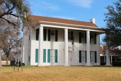 | Smith Ranch | district | 2007 | 07000271 |
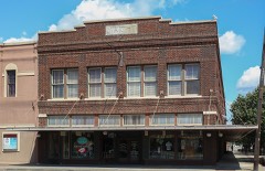 | Wright Building | building | 2009 | 09000139 |
Drawn when these were printed as single large sheets: the town seen from the air, and the county divided into its farms with every owner named. Each opens the original at the Library of Congress.

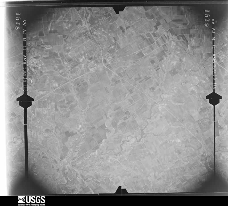
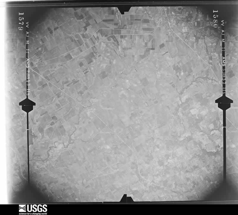
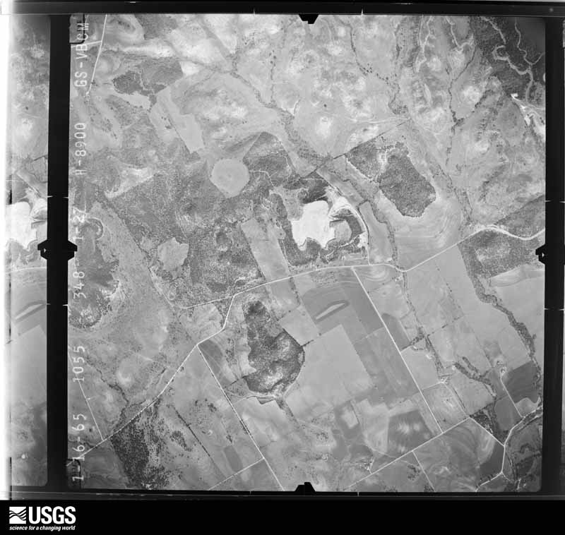
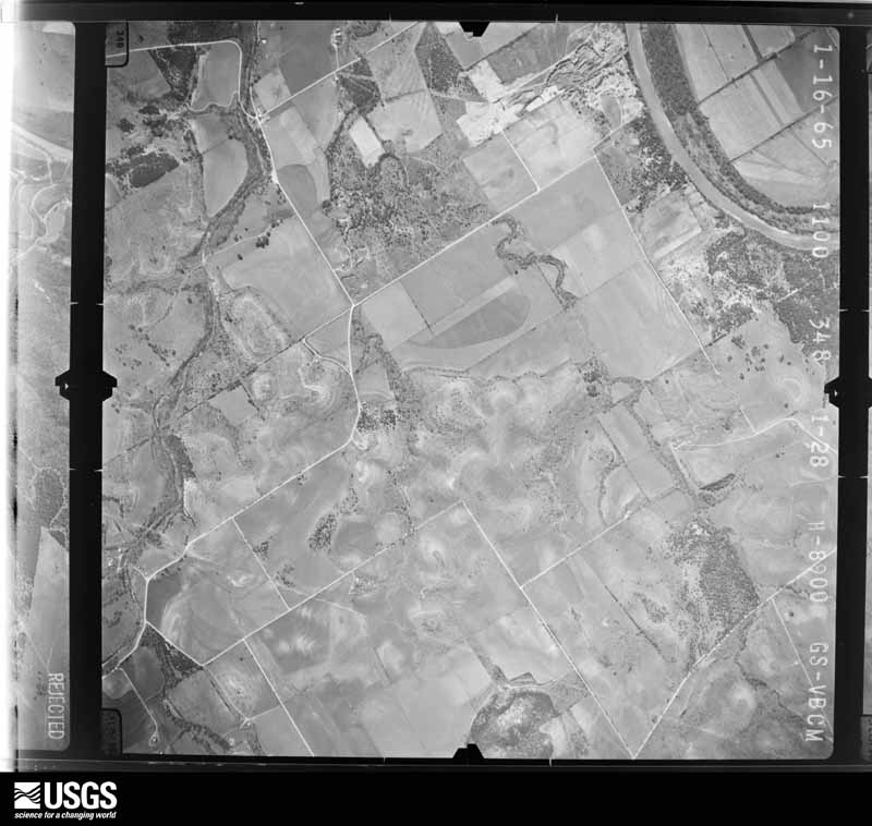
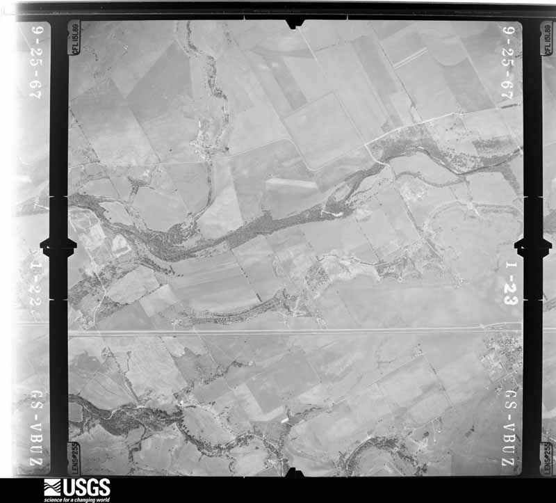
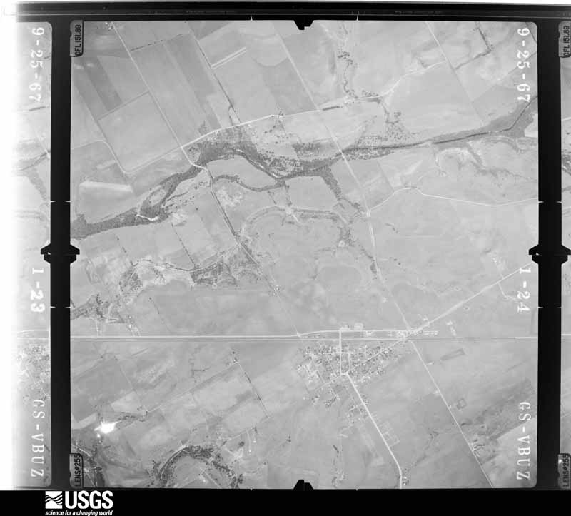
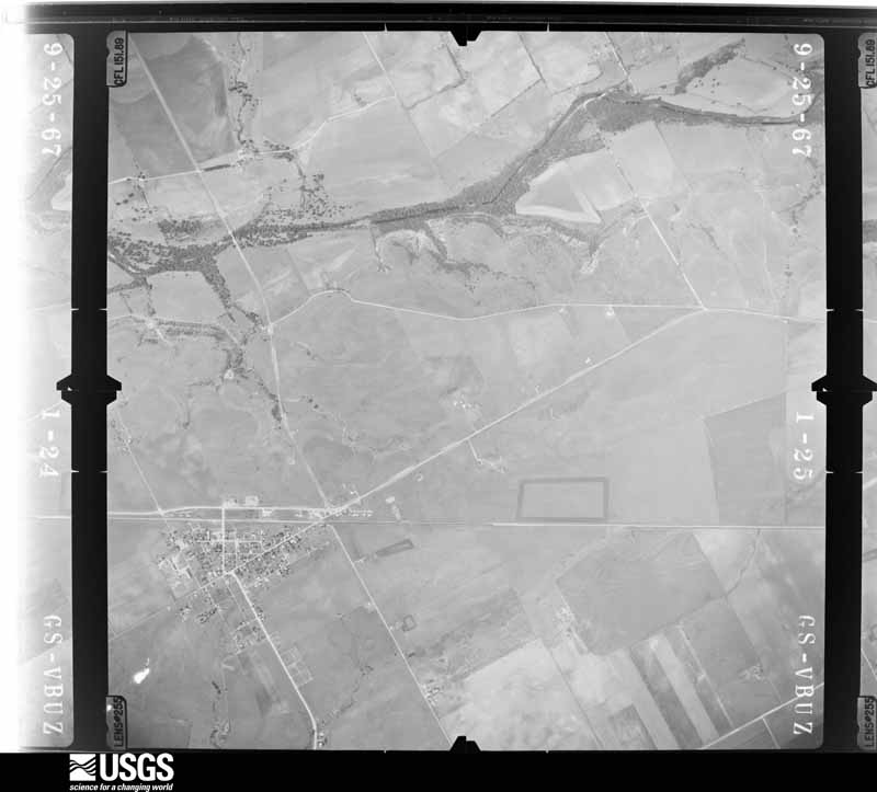
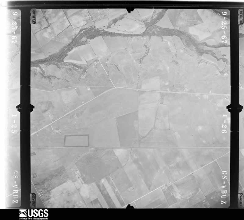
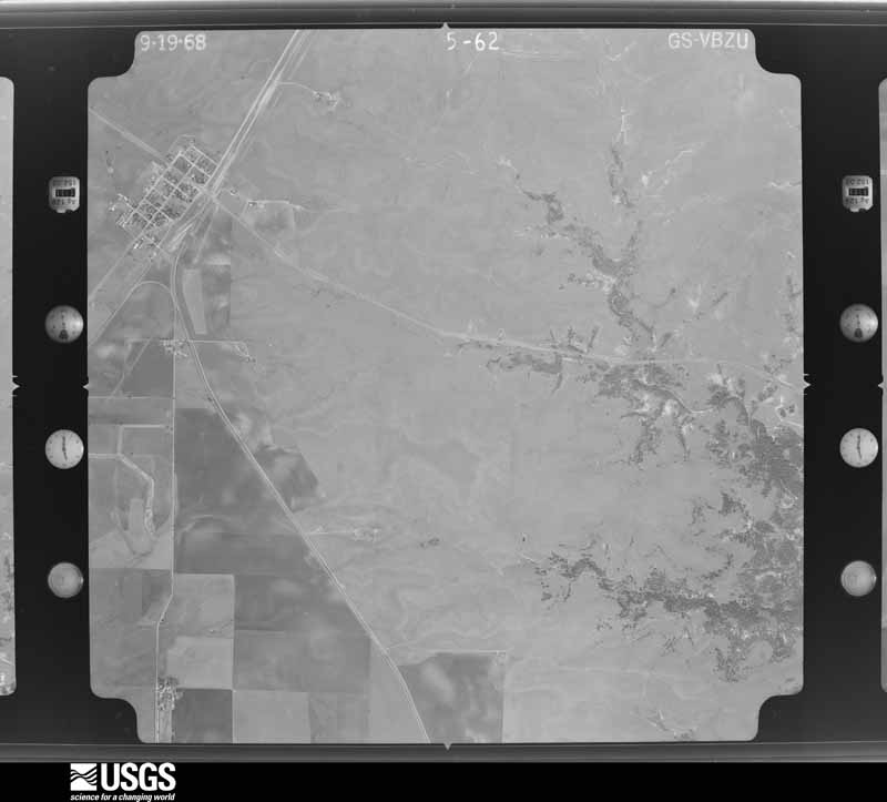
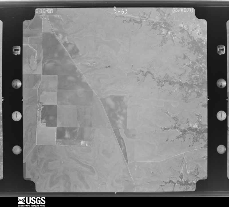
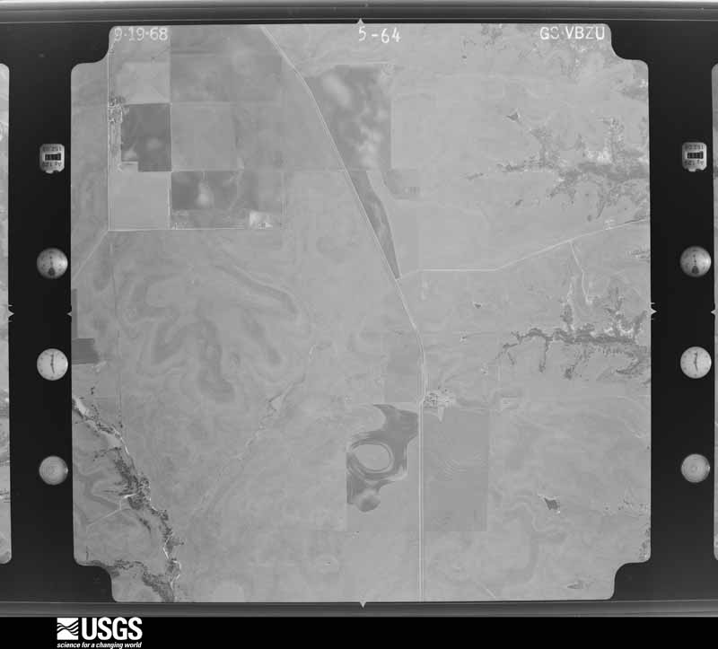
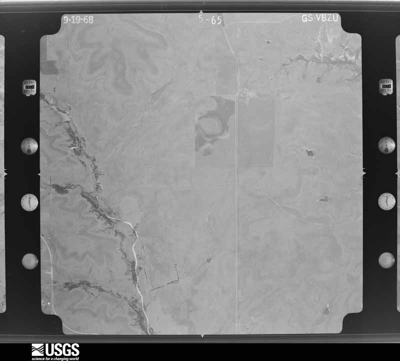
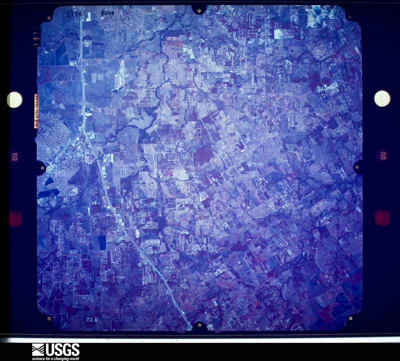
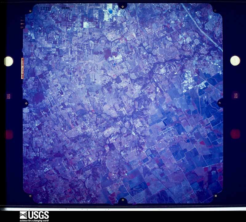
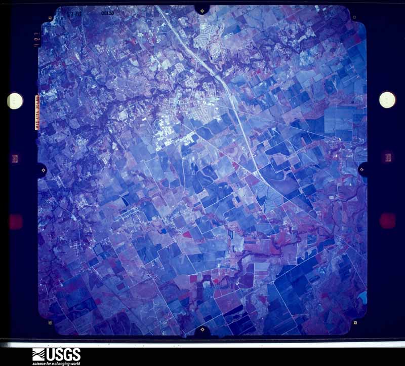
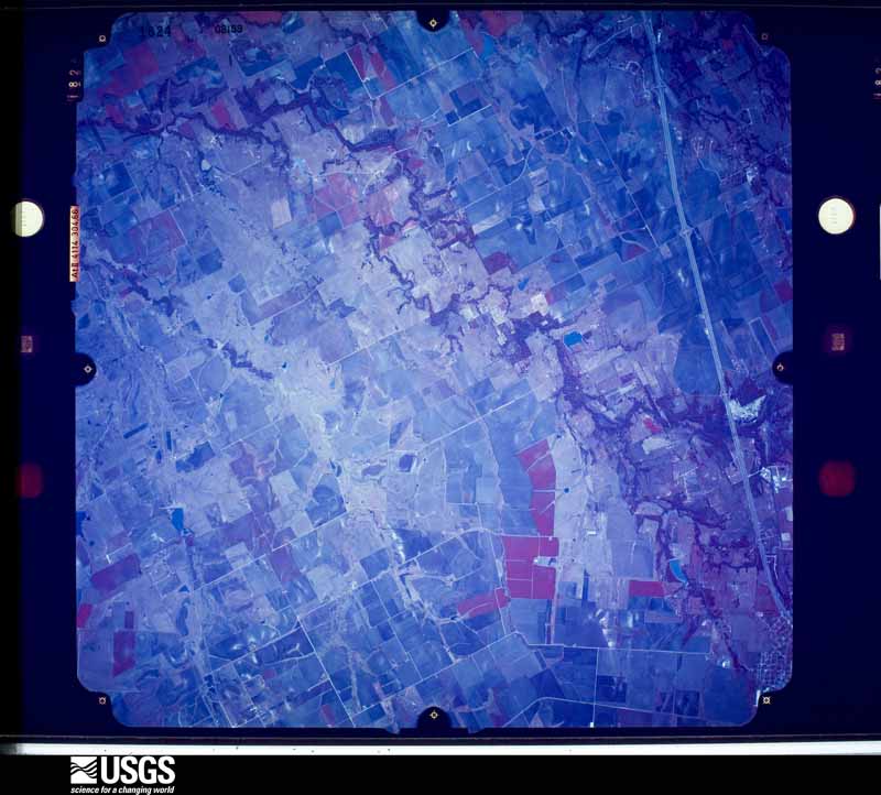
Flown by the U.S. Geological Survey between 1937 and 1989, the Aerial Photo Single Frames collection is the definitive mid-century view of the land: fields, roads and rivers as the camera saw them. The Survey holds 382 frames inside the rectangle that bounds this county; the 20 frames below were taken over the county itself, chosen across the decades of flights (at most four a year from that rectangle), so one flight cannot crowd out the rest. The full set is free to browse and download at EarthExplorer under the dataset Aerial Photo Single Frames.
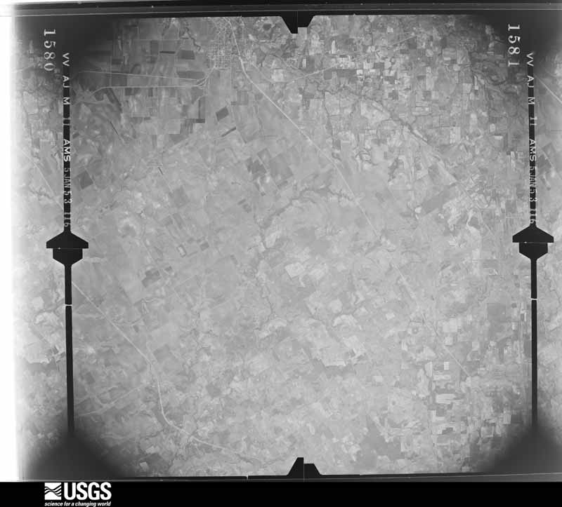
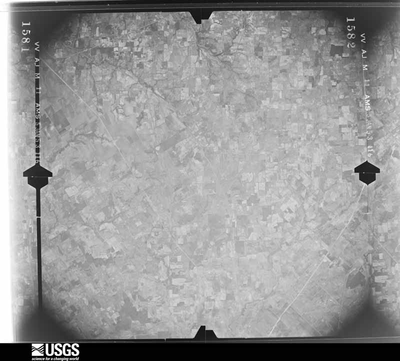
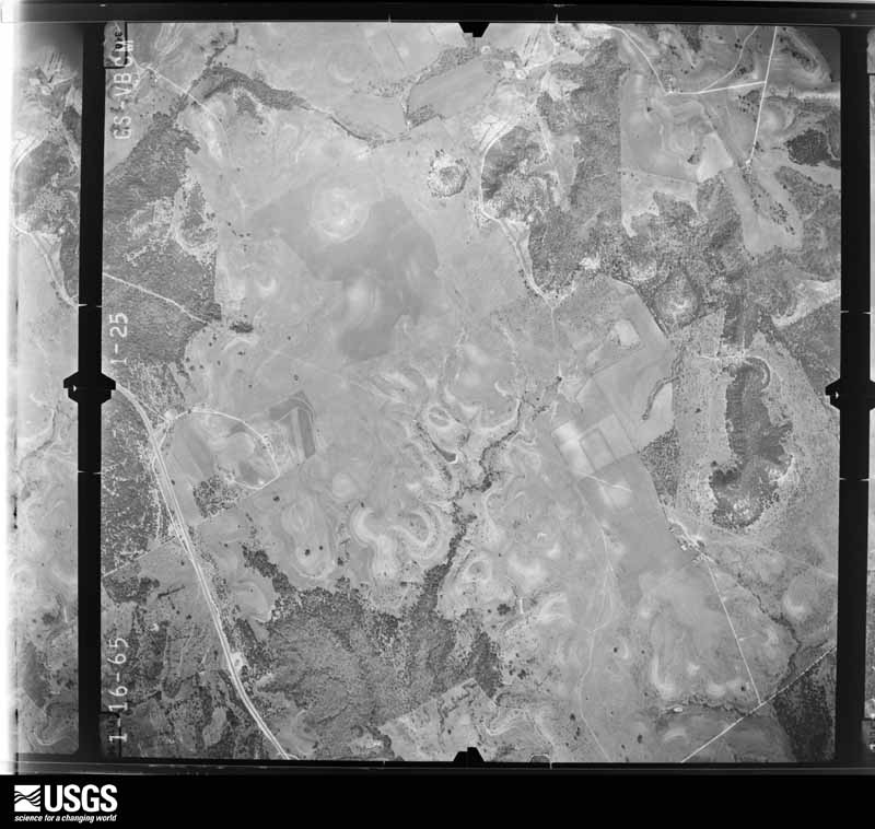
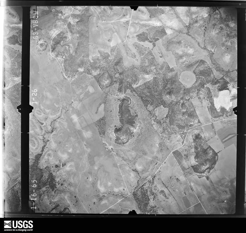
The thermometers that kept this county's weather, and the gages that measured the flow of its streams, as the federal records hold them. The extremes below are measured values from those records, not estimates.
Who lived here in 1950, one enumeration district at a time, as the Census Bureau described each district. Each row opens its official National Archives result, with Population Schedules and ED Maps available there.
Every wildfire the federal occurrence database records inside this county: 450 of them, burning about 7,579 acres. 4 started naturally and 11 were recorded as arson. Each settlement page carries the fires within five miles of it.
| Reported cause | Fires |
|---|---|
| Missing data/not specified/undetermined | 221 |
| Debris and open burning | 140 |
| Equipment and vehicle use | 39 |
| Smoking | 18 |
| Arson/incendiarism | 11 |
| Power generation/transmission/distribution | 6 |
| Natural | 4 |
| Railroad operations and maintenance | 4 |
| Recreation and ceremony | 4 |
| Misuse of fire by a minor | 3 |
The five largest, by the area the report gives. None of them was recorded as arson.
| Date | Cause | Size | Reported by | Name on the report |
|---|---|---|---|---|
| 3 October 2014 | Railroad operations and maintenance | 800 acres | Texas A & M Forest Service | TICHE |
| 28 December 2005 | Equipment and vehicle use | 600 acres | Texas A & M Forest Service | not named |
| 14 July 2011 | Missing data/not specified/undetermined | 350 acres | Texas A & M Forest Service | SERVICE DR FIRE |
| 22 August 2011 | Equipment and vehicle use | 301 acres | Texas A & M Forest Service | GOAT NECK FIRE |
| 29 January 2008 | Missing data/not specified/undetermined | 300 acres | Texas A & M Forest Service | not named |
| 21 July 2011 | Equipment and vehicle use | 294 acres | Texas A & M Forest Service | BASS RANCH FIRE |
| 3 July 2011 | Missing data/not specified/undetermined | 250 acres | Texas A & M Forest Service | FISHERMAN'S PARADISE FIRE |
| 2 August 2012 | Missing data/not specified/undetermined | 250 acres | Texas A & M Forest Service | MESQUITE FIRE |
Every settlement page carries the fires within five miles of it - see the settlement index below.
The NOAA Storm Events Database holds 904 reports for this county, causing 4 deaths, 44 injuries and about $253,837,200 in recorded property damage. Each settlement page carries the reports that name it.
| Kind of event | Reports |
|---|---|
| Hail | 374 |
| Thunderstorm Wind | 291 |
| Tornado | 110 |
| Flash Flood | 105 |
| Flood | 12 |
| Lightning | 10 |
| Heavy Rain | 2 |
The most serious of them, by death, then injury, then recorded damage. The accounts are quoted exactly as the forecast office filed them.
| When | Event | Place named | Harm | What the report says |
|---|---|---|---|---|
| September 2010 | Flash Flood | Mansfield | 1 killed, $400,000 | Numerous roads across the county were closed due to high water but the Alvarado area was hit the hardest. One driver was swept away on CR 607 at Mountain Creek near Alvarado and drowned. A two story home near Alvarado had water above the first floor of the home. Elsewhere one man was trapped in a van by high water on Farm-to-Market Road 917 near County Road 613 and was rescued by first responders. Five individuals were swept into rising waters along English Trail in the northeast part of the county and were later rescued. |
| May 2024 | Flash Flood | Retta | 1 killed, $20,000 | A vehicle occupied by two adults and one 5 year old boy was stranded in swift water off of CR 528. A witness saw the occupants get out of the vehicle and attempt to get to dry ground on foot when all are swept into the flood waters. Responders arrived and began searching for the victims. The adults were found and rescued around 5am and transported to the hospital. The 5 year old victim was found deceased in the water around 7:20am. |
| November 2015 | Flash Flood | Joshua Arpt | 1 killed, $10,000 | News media reported that a vehicle with one female driver washed about a quarter of a mile downstream from where it encountered flood waters, which was on FM 913 near the Rock Creek Bridge. Law enforcement found her body downstream of the car after waters receded. |
| November 2015 | Flash Flood | Mansfield | 1 killed, $5,000 | Various news sources reported that a truck carrying 3 men was washed off of FM 917 at Rock Creek between Mesquite Trail and English Trial in southwest Mansfield. Two of the men were able to swim to safety, but one drowned. The victim was reported as being a 48 year old male. |
| December 2006 | Tornado (F2) | Rio Vista | 12 hurt, $2,000,000 | The National Weather Service in Fort Worth conducted a damage survey and found that the tornado which originated in Hill County continued on its destructive northeast path into Johnson County. Damage to sheds and vegetation was noted along County Roads 1205 and 1204. The most significant damage to structures was found near FM 916, CR 1202, and CR 1205, northeast to near Highway 171. Several structures were unroofed while others suffered partial roof loss. Major damage to trees was also noted here. Damage to homes and trees continued along the track near CR 421, CR 423, and CR 415 just north of Highway 4. The tornado then crossed FM 2415. The last observed damage was along the south shore of Lake Alvarado. County officials reported that twenty-two residences were destroyed, twenty were heavily damaged, and twenty more had minor damages. Ten people were taken to local hospitals. Most were for minor injuries, but two suffered more serious injuries and were released from the hospital the next day. The Governor designated Johnson County a disaster area. |
| May 2013 | Tornado (EF3) | Lake Pat Cleburne | 7 hurt, $124,000,000 | Trained storm spotters observed a nearly mile wide tornado to the southwest of the city of Cleburne. NWS storm survey crew determined this tornado produced EF-3 damage on the east side of Lake Pat Cleburne. The path of the tornado was erratic, moving initially north, then northeast, then north again. |
| April 1973 | Tornado (F3) | not stated | 3 hurt | no account filed |
| September 1993 | Tornado (F1) | Lake Pat Cleburne | 2 hurt, $50,000,000 | A tornado formed 2 miles south-southwest of Lake Pat Cleburne, and moved north-northeast across southern and eastern parts of Cleburne. The tornado continued moving north-northeast, and lifted two miles northwest of Keene. Ten businesses, 100 commerical structures, 247 homes, and 50 cars were damaged. Losses were estimated at $8.3 million. Two minor injuries were reported. |
| December 1971 | Tornado (F1) | not stated | 2 hurt, $250,000 | no account filed |
| April 2011 | Tornado (EF1) | Alvarado | 2 hurt, $100,000 | There was a brief tornado touchdown in the city of Alvarado, just southwest of the intersection of Interstate 35W and Highway 67. A mobile home was overturned resulting in 2 minor injuries. The Equine Vet Building and 4 other commercial buildings sustained damage. This tornado has been rated an EF-1 with estimated maximum wind speeds of 90 mph. |
| May 2014 | Thunderstorm Wind | Joshua Arpt | 2 hurt, $75,000 | A manufactured home on Jan Lane near Joshua was destroyed by a downburst. Most of the roof was lifted off the residence and two of the walls collapsed. Two people in the home were injured. |
| June 2004 | Thunderstorm Wind | Lillian | 2 hurt, $50,000 | A mobile home was destroyed by high winds, and two residents inside were seriously injured. |
| August 1984 | Thunderstorm Wind | not stated | 2 hurt | no account filed |
| April 2022 | Tornado (EF2) | Joshua Arpt | 1 hurt, $1,000,000 | A tornado tracked from northwest of Joshua to near FM 917 and Interstate 35. The maximum estimated winds with this tornado are 110-115 mph, due to damage to a home on CR 806 near Egan. Otherwise, the majority of the damage was EF-0 or EF-1. The tornado began near Chisholm Trail Parkway and CR 913 where it damaged a few manufactured homes. Damage to the east of this area was sporadic until the tornado approached the Egan area. The tornado damaged several metal building systems at a business along FM 917 and also damaged two properties on Courtney Lane. The most significant damage occurred on CR 806 where a home lost most of its roof and significant tree damage was observed. The tornado continued to do minor damage until about CR 810 where it likely dissipated. |
| April 1975 | Tornado (F2) | not stated | 1 hurt, $250,000 | no account filed |
| April 1971 | Tornado (F1) | not stated | 1 hurt, $250,000 | no account filed |
| September 1962 | Tornado (F2) | not stated | 1 hurt, $250,000 | no account filed |
| May 2001 | Tornado (F1) | Alvarado | 1 hurt, $100,000 | A tornado touched down 2 miles southeast of Alvarado and moved northeast 2.8 miles then lifting 3 miles east of Alvarado. One person sustained head injuries from flying debris. Two mobile homes were destroyed and one heavily damaged, a house was unroofed, a workshop was destroyed, and numerous trees and power lines were blown down |
| May 2004 | Thunderstorm Wind | Alvarado | 1 hurt, $80,000 | Three mobile homes were destroyed by high winds in the Lillian area near the intersection of FM 917 and CR 2738. One person was injured. |
| April 2008 | Thunderstorm Wind | Lillian | 1 hurt, $30,000 | A man lost half of his arm after his travel trailer flipped several times in the wind. He was trying to help people move from an office building to a tool shed. |
| March 2019 | Thunderstorm Wind | Cleburne | 1 hurt | Emergency management reported one occupant injured in a small modular home just southwest of the city of Cleburne, TX. |
| August 1988 | Thunderstorm Wind | not stated | 1 hurt | no account filed |
| March 1961 | Tornado (F2) | not stated | 1 hurt | no account filed |
| April 2008 | Tornado (EF1) | Lillian | $25,000,000 | A damage survey conducted by the National Weather Service in Fort Worth found that a tornado touched down near Happy Hill and traveled northeast approximately three miles to Pleasant Point where it dissipated. The tornado caused significant roof damage to several homes. Three homes were considered total losses. At least thirty other homes received minor to major damage. Many sheds and outbuildings were damaged or destroyed. Several trees were uprooted and at least two of them fell onto houses. Power lines were also downed along the track. This tornado was rated an EF-1 with maximum wind speeds between 90 and 95 MPH. |
| May 1989 | Tornado (F1) | not stated | $25,000,000 | no account filed |
| April 2003 | Thunderstorm Wind | Lillian | $4,000,000 | Downburst created a path approximately 6 miles long and up to 1.5 miles wide from 0.5 miles south of Lillian southeast to near Venus. Although 12 persons were injured, only 2 people had to be hospitalized. 51 mobile homes were heavily damaged or destroyed and 80 suffered minor damage. Other damage included roof damage to houses, carports damaged or destroyed,barns, trees, and utility poles blown down. |
| May 1976 | Tornado (F4) | not stated | $2,500,000 | no account filed |
| May 2015 | Flash Flood | Retta | $1,500,000 | Emergency management reported that vehicle rescues and flooded homes were occurring in both the Lillian and Cleburne areas. In addition, around 45 roads had been closed by 330 AM according to emergency management. TXDOT estimated the damages to be around 1.5 million dollars. |
| April 2012 | Hail | Cleburne | $850,000 | Golf ball sized hail was reported in Cleburne. The hail covered the ground and broke many windshields at a country club. |
| September 2009 | Thunderstorm Wind | Godley | $800,000 | A NWS Storm Survey determined that a downburst damaged a one square mile area in northwestern Johnson County located approximately 8 miles west of Burleson and 1.25 miles south of the Johnson/Tarrant county line. At least 10 homes were left uninhabitable and several trees were knocked down. The winds were estimated to be 90-100 mph. |
| May 2021 | Hail | Rio Vista | $750,000 | no account filed |
| April 2015 | Tornado (EF0) | Rio Vista | $600,000 | A National Weather Service damage survey crew found evidence of a tornado east of the city of Rio Vista. This tornado took a 5.4 mile path across Johnson County, ending at nearly the same point as it began. The tornado first occurred just south of Farm to Market Road 916, along County Road 1205. The tornado originally took a northeast track, before turning due north, then back to the west and southwest. Along the way, the tornado caused superficial damage to approximately 20 homes. Numerous trees, barns, and farm buildings were destroyed as the tornado moved along. |
| April 2012 | Tornado (EF1) | Joshua Arpt | $600,000 | An EF-1 tornado occurred southeast of the city of Joshua. The tornado began near FM 3048 and Buffalo Lane and traveled to the north-northeast before lifting northeast of the intersection of CR 705 and CR 811. One manufactured home sustained extensive damage, and a barn suffered roof damage. Part of the exterior walls of the manufactured home fell outward and the roof was completely lost. Another manufactured home on the same property sustained damage. Across CR 705, a third manufactured home sustained damage to the exterior. The twister also overturned a horse trailer and damaged two riding lawnmowers on this property. The path length was just over a mile long with a maximum width around 60 yards. The maximum winds were estimated to be around 100 mph. |
| May 2024 | Flash Flood | Mansfield | $500,000 | Dozens of flooded and damaged roads were reported across the county, as well as 10 flooded homes, and 17 water rescues conducted by the local fire department and TX Task Force One. |
| June 2023 | Hail | Burleson | $500,000 | A social media photo showed a 4-inch diameter hail stone in Burleson. |
| April 2022 | Thunderstorm Wind | Venus | $500,000 | Several mobile homes, roofs (shingles and metal panels), sheds, and outbuildings were damaged in the Homestead area north of Venus. |
| August 1993 | Thunderstorm Wind | Joshua | $500,000 | Thunderstorm winds unroofed two houses and blew down numerous trees and barns. |
| February 1993 | Thunderstorm Wind | Godley | $500,000 | Three barns were blown down by thunderstorm wind, killing six cows. Roof damage to a house and a garage were also reported. |
| April 2011 | Thunderstorm Wind | Alvarado | $300,000 | Straight-line winds resulted in the collapse of a wall of the Medicine Chest Pharmacy in Alvarado near North Cummings Dr. and Highway 67. Straight-line winds also damaged signs, power poles, and a bank drive-through in the same general area. A light pole was knocked down at Charles Head Stadium, a field goal post was bent, and the track was damaged at the facilities. The American Red Cross reported that 38 homes were damaged in Alvarado and three of these homes were destroyed. |
| May 2013 | Tornado (EF1) | Godley | $260,000 | National Weather Service survey crew determined a tornado caused EF-0 and EF-1 damage in the Pecan Plantation community. The tornado began in Hood County, before moving across the Brazos into Johnson County. |
| April 2024 | Lightning | Venus | $250,000 | Lightning started a house fire that resulted in a total loss of the house. The exact location of the house is unknown. |
| June 2023 | Hail | Joshua | $250,000 | Tennis ball sized hail was reported near Highway 174 between Joshua and Burleson. |
| April 2011 | Thunderstorm Wind | Rio Vista | $250,000 | The American Red Cross reported that 16 homes in Rio Vista were damaged by severe thunderstorm winds. Two of these homes were destroyed and three others sustained major damage. The roofs of six homes north of Rio Vista were torn off. Trees were also knocked down in the city, and the breezeway between city hall and the civic center sustained damage. |
| June 2000 | Flash Flood | Countywide | $250,000 | Widespread flooding with numerous bridges washed out on county roads. Two homes were destroyed, 26 had major damage, and 16 sustained minor damage. 25 head of cattle drowned. |
| April 1991 | Tornado (F2) | not stated | $250,000 | no account filed |
| May 1973 | Tornado (F2) | not stated | $250,000 | no account filed |
| December 1971 | Tornado (F2) | not stated | $250,000 | no account filed |
| May 1968 | Tornado (F2) | not stated | $250,000 | no account filed |
| October 1959 | Tornado (F1) | not stated | $250,000 | no account filed |
| May 2007 | Lightning | Burleson | $220,000 | Lightning struck and burned a house still under construction. The loss was valued at $220,000. |
| May 2023 | Thunderstorm Wind | Cleburne | $200,000 | Wind damage was reported in and around Cleburne. The damage included power lines down, large tree limbs broken, sheds damaged, and minor roof damage with aluminum paneling pulled up. |
| April 2022 | Tornado (EF0) | Venus | $200,000 | Analysis from a storm survey and CASA radar indicated an EF-0 tornado developed just south of the intersection of FM 157 and CR 506 north of Venus. The tornado tracked across mostly open field, but was identified by tree damage and damage to a few structures along CR 506. Structural damage was primarily to roofs and awnings to two residences and other nearby outbuildings. Damage was consistent with maximum winds up to 80 mph. The tornado tracked generally in a northeasterly direction and dissipated southeast of the intersection of Delta and CR 511, just west of the Johnson and Ellis County line. |
| April 2015 | Flood | Rio Vista | $200,000 | Extensive flooding continued in Johnson County after over 3 hours of heavy rain fell across mainly the southern half of the county. The area around Rio Vista was one of the hardest areas impacted after a tornadic supercell stalled over that part of the county for over 3 hours. Several swift water rescues were still ongoing hours after the rainfall ended. Low lying areas and roads were flooded for over a day after the heavy rain event. One deputy was treated for minor injuries when his patrol car became trapped in high water. |
| April 2015 | Tornado (EF0) | Grandview Mcelroy Ar | $200,000 | The last tornado of the night began near the intersection of Johnson County Road 305 and 406, northwest of Grandview. This tornado made a horseshoe path, moving first to the north, and then west and southwest. This tornado caused tree damage along several county roads, and also produced damage to several homes and mobile homes. |
| May 2007 | Thunderstorm Wind | Alvarado | $200,000 | Six air conditioning units were blown from the roof of an elementary school, causing extensive damage to gas and electrical lines as well as the roof itself. At a nearby high school, a tree was blown down and several windows were blown out. Sheet metal was also blown loose. A roof was blown off of an apartment building, and a sign was bent at a nearby auto dealership. A few manufactured homes northeast of town lost roofs, walls, shingles, and suffered water damage. |
| August 2003 | Thunderstorm Wind | Cleburne | $200,000 | The Double B Boat and RV Storage was heavily damaged by high winds, numerous trees were blown down with damage to houses and power lines. |
| April 2011 | Thunderstorm Wind | Grandview | $150,000 | Significant wind damage occurred in Grandview. The American Red Cross reported that 12 structures were damaged in Grandview. Most of these were commercial buildings and four sustained major damage. A building behind city hall had its roof peeled back, a city barn was heavily damaged, several houses had shingle damage, and a nursing home and apartment building had roof damage. Numerous trees and tree limbs were knocked down, and two 18 wheelers were blown over. |
| April 2011 | Tornado (EF1) | Lake Pat Cleburne | $150,000 | A tornado began near County Road 1210 south of Pat Cleburne Lake and traveled approximately 1.5 miles to the east. The first signs of damage were to a garage and a house that was shifted off its foundation. Several trees were also blown down. Near the end of its track, the tornado damaged 5 homes with one of the homes sustaining heavy damage. This tornado has been rated an EF-1 with maximum estimated wind speeds of 100 to 110 mph. |
| February 1997 | Flash Flood | Cleburne | $150,000 | no account filed |
| April 2008 | Thunderstorm Wind | Cleburne | $120,000 | Numerous trees, power lines, and signs were blown down in town. The roof of a convenience store was blown off and a travel trailer was blown on its side. A basketball goal and a gazebo were damaged at a school. A classroom building, a bus barn, and several awnings were also destroyed. |
The Survey's mineral resources record lists 10 workings inside this county. All of them still produce. Each settlement page carries the workings within five miles of it.
| Commodity | Workings |
|---|---|
| Stone, Crushed/Broken | 5 |
| Sand and Gravel, Construction | 3 |
| Calcium | 2 |
| Limestone, General | 1 |
| Silica, Sand and Gravel, Construction | 1 |
| Silica | 1 |
The least common of them first, because a county's hundredth gravel pit says nothing its first ten did not.
| Where | Site | Commodity | Status | Recorded |
|---|---|---|---|---|
| Charlie Phillips Pit | Silica, Sand and Gravel, Construction | Producer | ||
| Limekiln Quarry | Limestone, General | Producer | Limestone | |
| Rayburn Sand Pit | Sand and Gravel, Construction, Silica | Producer | ||
| Texas Lime Co Limekiln | Calcium, Stone, Crushed/Broken | Producer | ||
| Texas Lime Plant No. 2 | Calcium, Stone, Crushed/Broken | Producer | ||
| Andrews Pit | Sand and Gravel, Construction | Producer | ||
| Cleburne Plant No. 51 | Sand and Gravel, Construction | Producer | ||
| Charlie Phillips Crushed Rock | Stone, Crushed/Broken | Producer | ||
| Decker Lease | Stone, Crushed/Broken | Producer | ||
| Wilbanks Quarry | Stone, Crushed/Broken | Producer |
Named settlements recorded in the Geographic Names Information System, each with the topographic sheets covering it. Villages, hamlets and abandoned places alike. Each is shown with the nearest named watercourse or landform and the survey quadrangle it falls on.
Cleburne census division · 76033 · On Martin Branch · Joshua quadrangle
16 sheets, 1891 to 1985
No longer a settlement
Burleson-Joshua census division · 76028 · On Shannon Creek · Burleson quadrangle
14 sheets, 1894 to 1985
Cleburne census division · 76033 · On Robinson Branch · Cleburne West quadrangle
16 sheets, 1891 to 1985
Cleburne census division · 76031 · On East Buffalo Creek · Cleburne West quadrangle
16 sheets, 1891 to 1985
Burleson-Joshua census division · 76028 · On Shannon Creek · Burleson quadrangle
14 sheets, 1894 to 1985
Cleburne census division · 76033 · On Camp Creek · Brazos Point quadrangle
18 sheets, 1889 to 1985
Grandview census division · 76050 · On Rock Tank Creek · Grandview quadrangle
15 sheets, 1891 to 1985
Cleburne census division · 76033 · On Camp Creek · Brazos Point quadrangle
18 sheets, 1889 to 1985
Burleson-Joshua census division · 76028 · Near Turkey Peak · Burleson quadrangle
14 sheets, 1894 to 1985
Cleburne census division · 76033 · On West Fork Nolan River · Cleburne West quadrangle
16 sheets, 1891 to 1985
Alvarado census division · 76061 · Near Poverty Knob · Mansfield quadrangle
16 sheets, 1894 to 1985
Cleburne census division · 76031 · On East Buffalo Creek · Cleburne East quadrangle
17 sheets, 1891 to 1985
Alvarado census division · 76009 · Near Poverty Knob · Alvarado quadrangle
16 sheets, 1891 to 1985
Cleburne census division · 76093 · On Haley Branch · Covington quadrangle
17 sheets, 1891 to 1985
Alvarado census division · 76009 · On Fish Spring Branch · Alvarado quadrangle
16 sheets, 1891 to 1985
The vanished settlements of Johnson County: the places named above that are no longer on the map.