 Block
BlockFrom the record
8 National Register listings published here, 1 of them a National Historic Landmark.
Sources: the National Register database, National Park Service
68 topographic sheets cover 48 settlements here, and 8 properties are on the National Register of Historic Places.
8 National Register listings published here, 1 of them a National Historic Landmark.
Sources: the National Register database, National Park Service
Every property in this county listed on the National Register of Historic Places, with the year it was listed and the federal nomination document.
| Photograph | Property | Type | Listed | Reference |
|---|---|---|---|---|
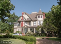 | William and Blanche Brooks House | building | 1993 | 93000566 |
 | Matthew Cartwright House | building | 1979 | 79002988 |
| First National Bank Building | building | 1985 | 85000073 | |
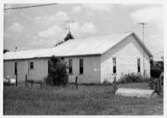 | Walter C. Porter Farm | site | 1966 | 66000819 |
| State Highway 34 Bridge at the Trinity River | structure | 1996 | 96001109 | |
 | Terrell Carnegie Library | building | 2006 | 06000363 |
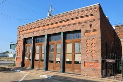 | Terrell Times Star Building | building | 1985 | 85000923 |
 | Warren-Crowell House | building | 1980 | 80004137 |
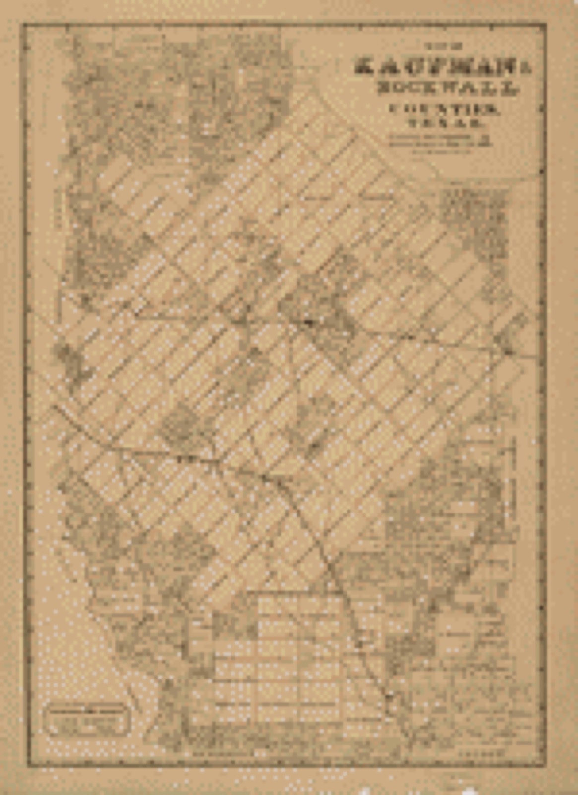
Drawn when these were printed as single large sheets: the town seen from the air, and the county divided into its farms with every owner named. Each opens the original at the Library of Congress.

Selected from the Digital Public Library of America's 2 image records catalogued for this county. Every one shown here carries a public-domain status or a licence that permits reuse on a site that carries advertising; non-commercial, share-alike and restricted images are excluded. The selection is spread across the county's towns (at most eight per town), so no single institution's bulk upload crowds out the rest. Each opens the holding library's record, and the complete set at the Digital Public Library of America is one click away.

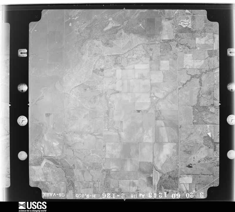
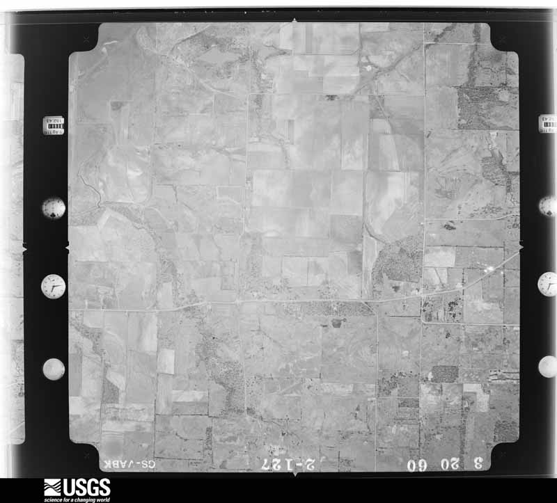
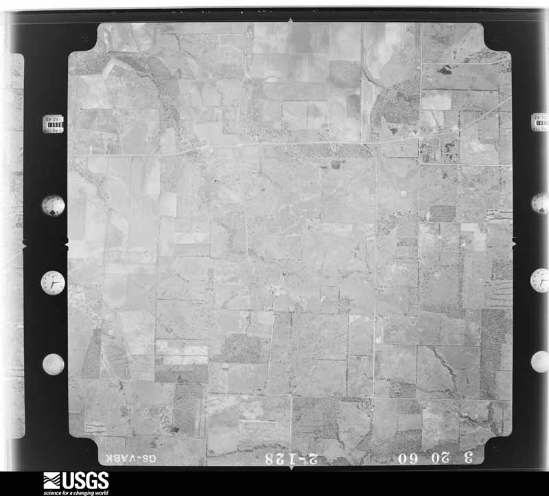
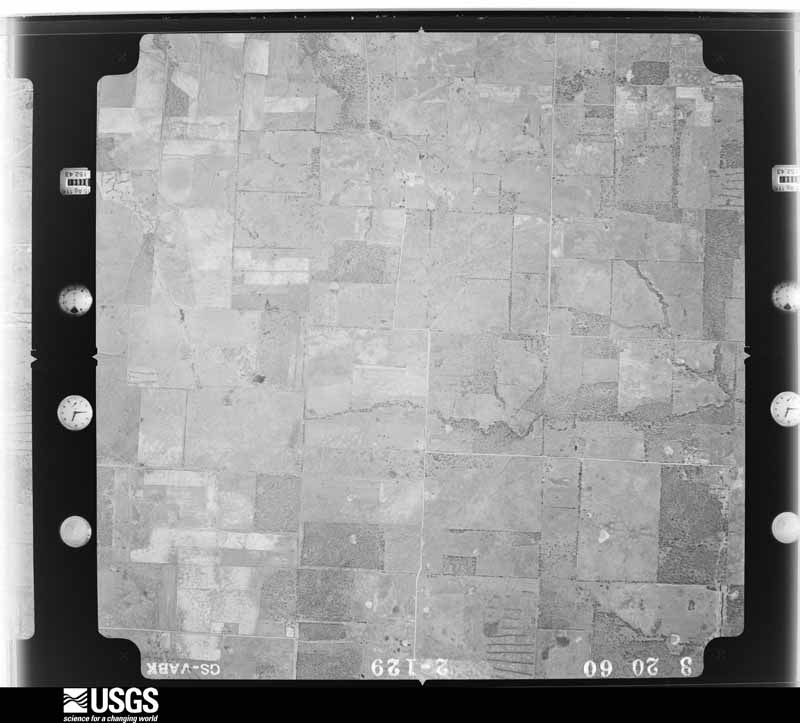
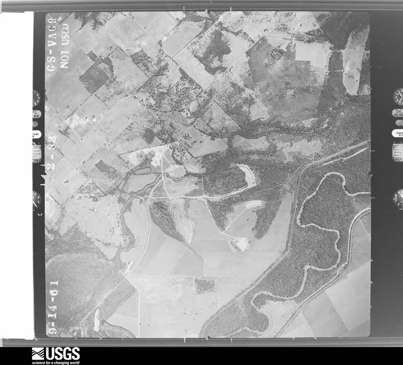
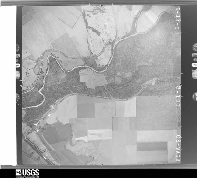
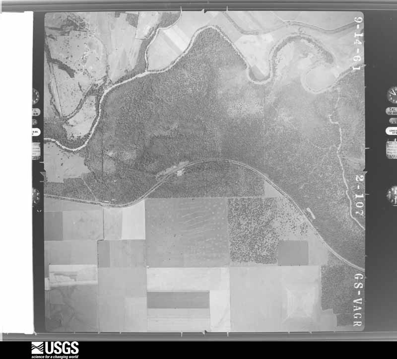
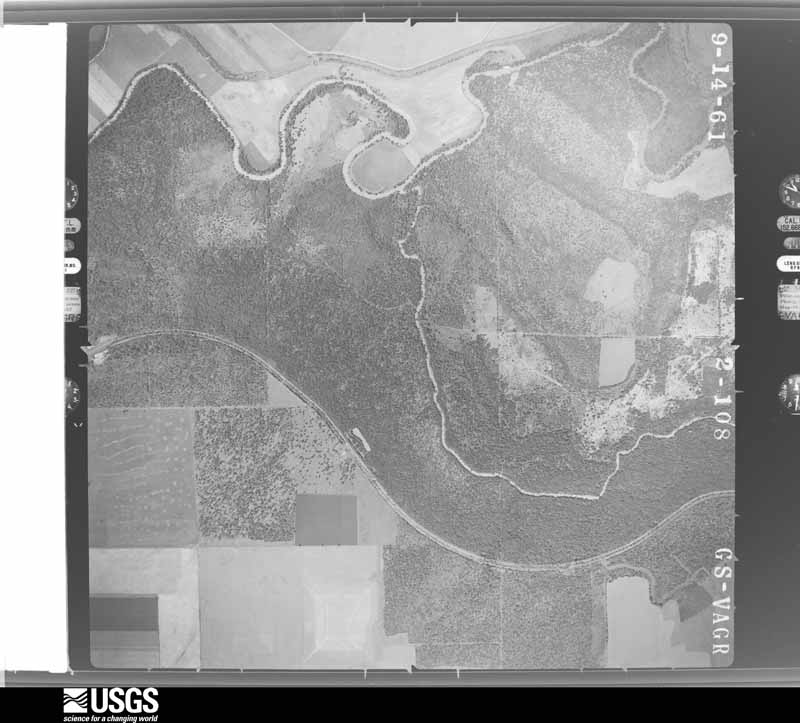
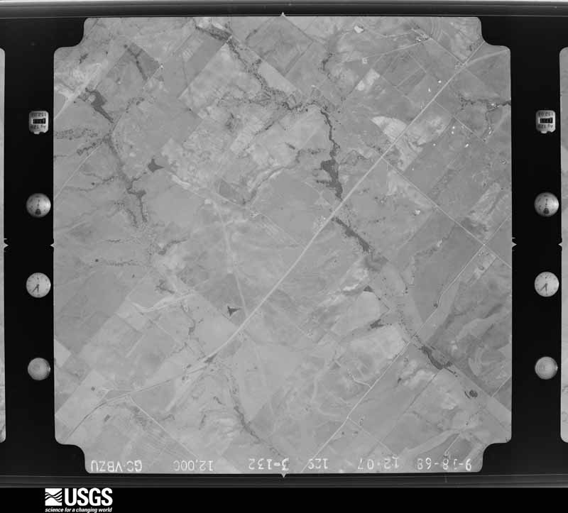
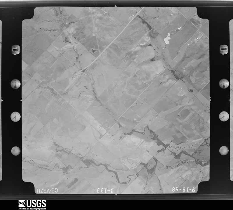
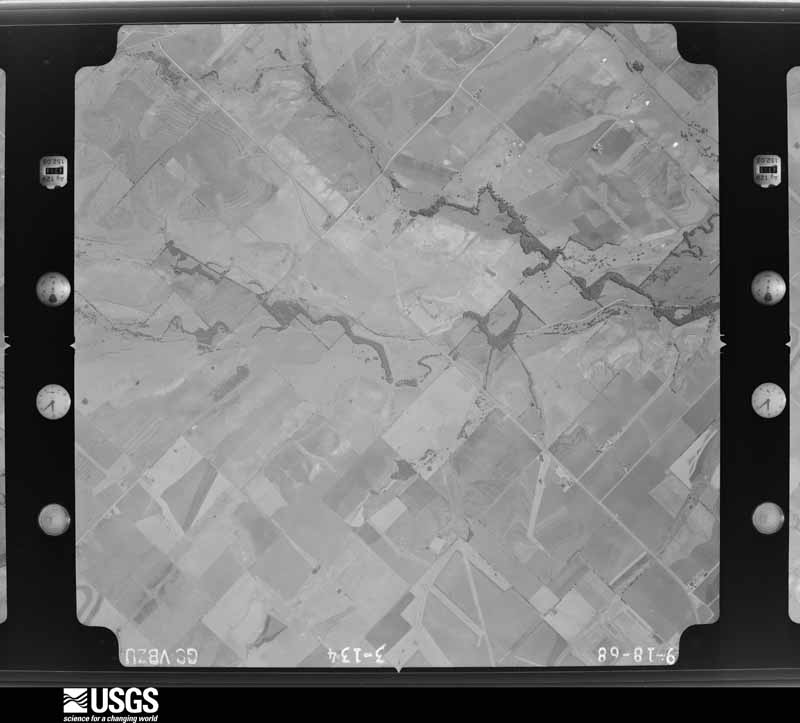
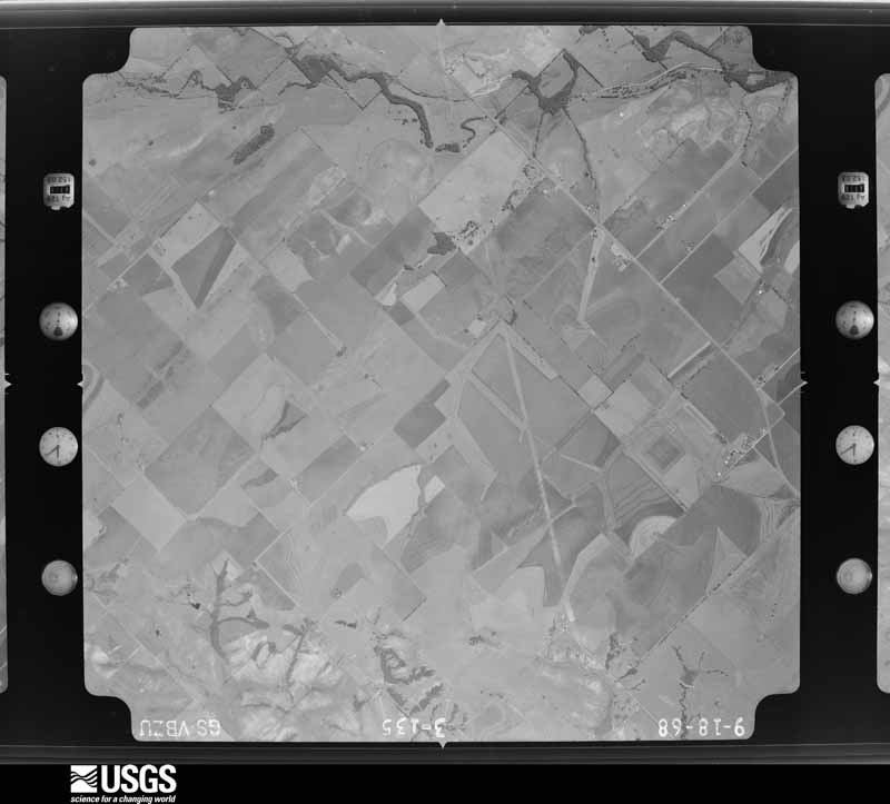
Flown by the U.S. Geological Survey between 1937 and 1989, the Aerial Photo Single Frames collection is the definitive mid-century view of the land: fields, roads and rivers as the camera saw them. The Survey holds 1,134 frames inside the rectangle that bounds this county; the 48 frames below were taken over the county itself, chosen across the decades of flights (at most four a year from that rectangle), so one flight cannot crowd out the rest. The full set is free to browse and download at EarthExplorer under the dataset Aerial Photo Single Frames.
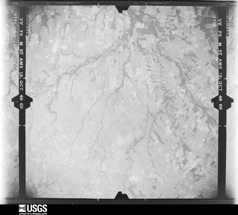
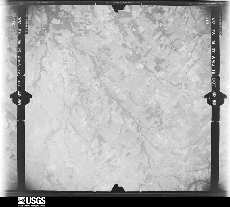
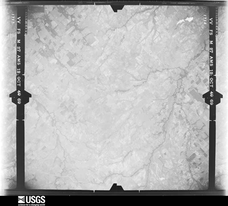
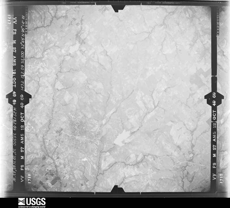
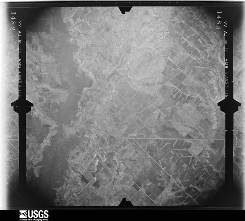
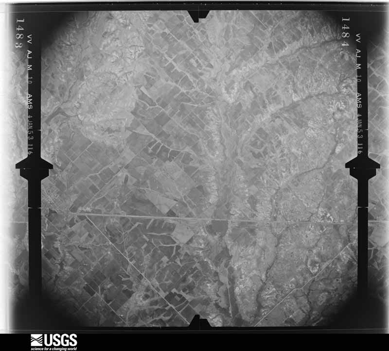
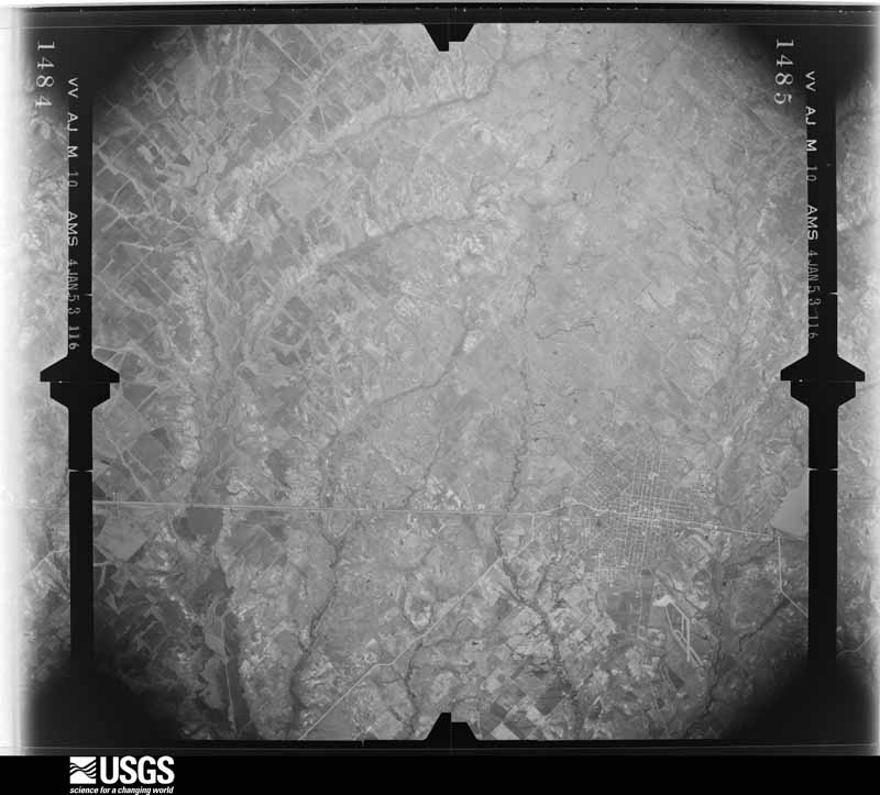
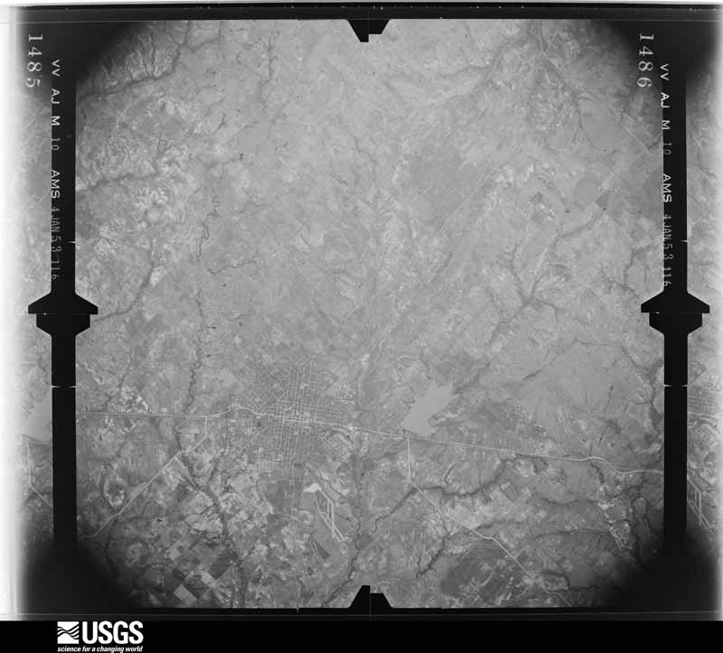
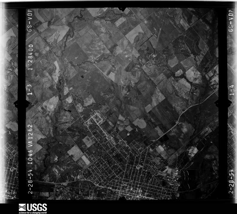
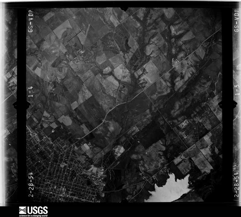
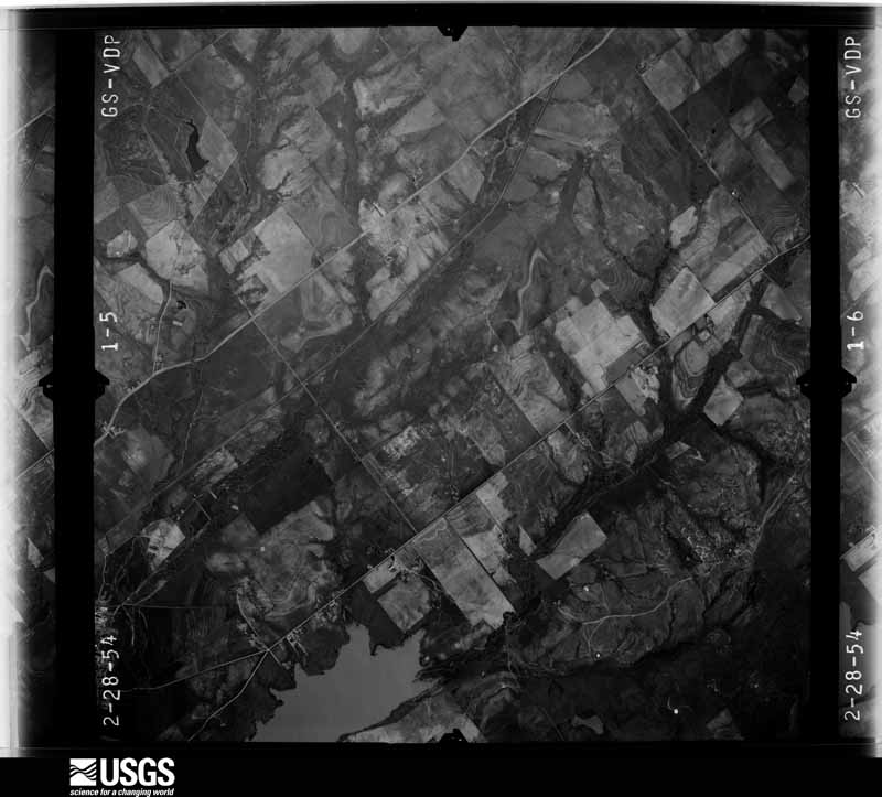
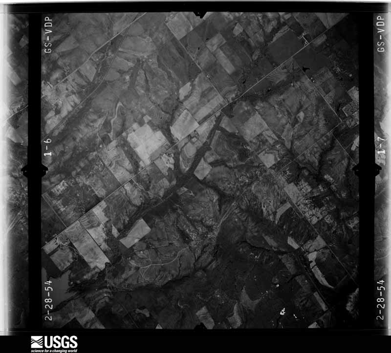
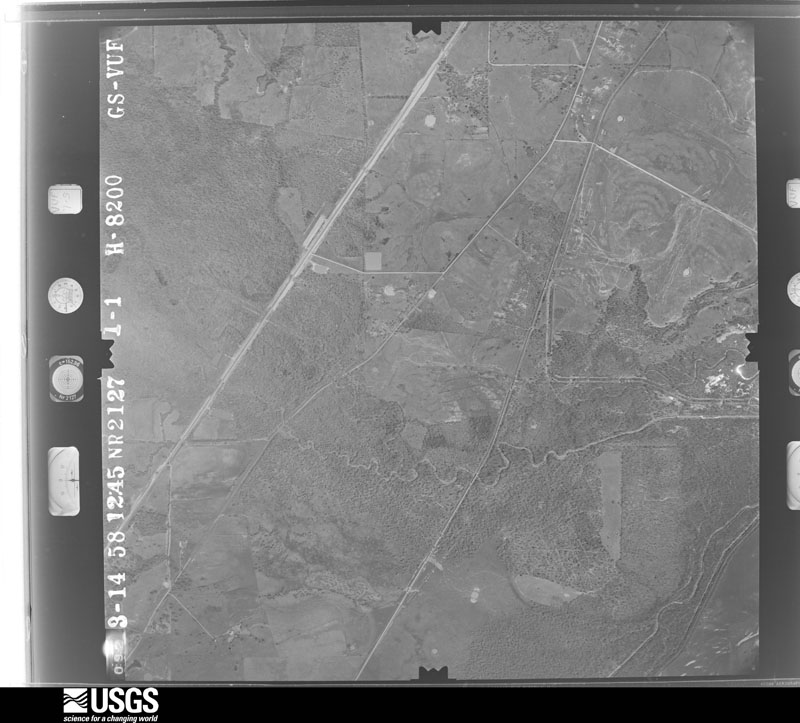
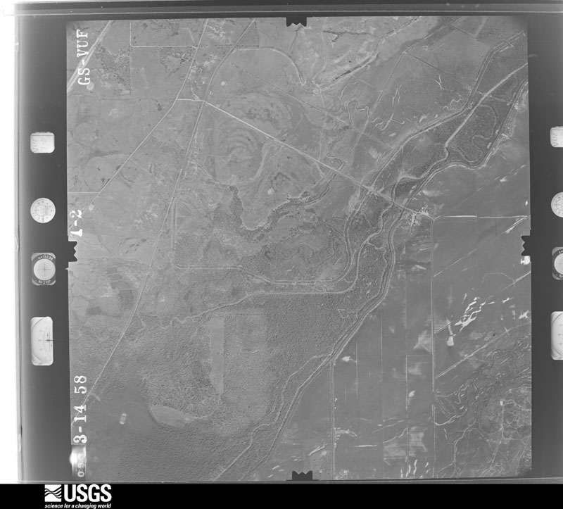
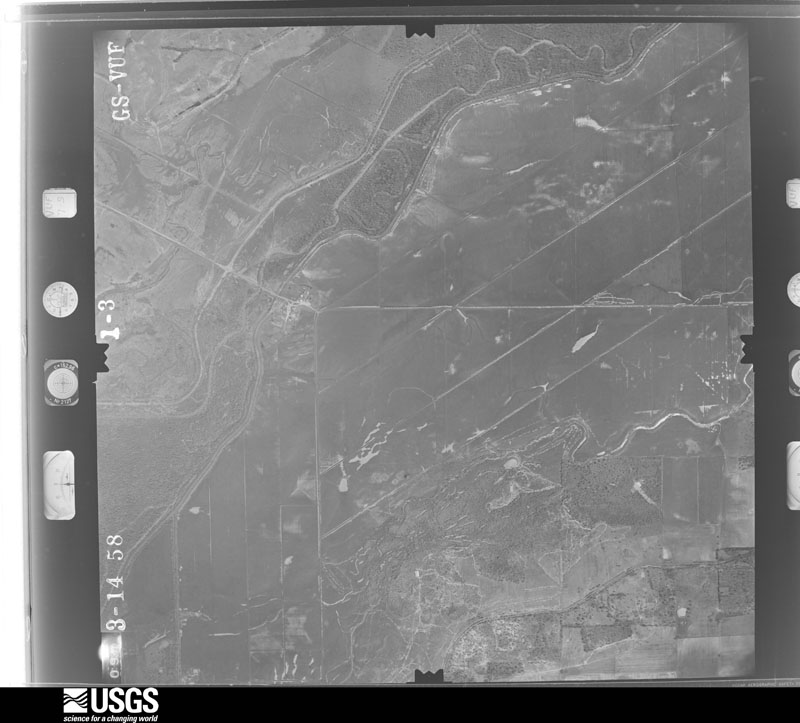
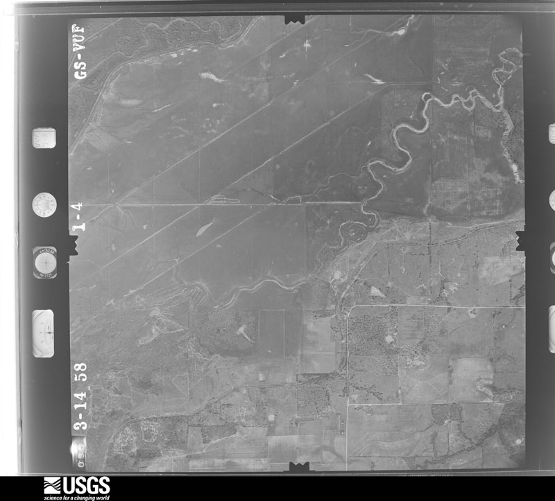
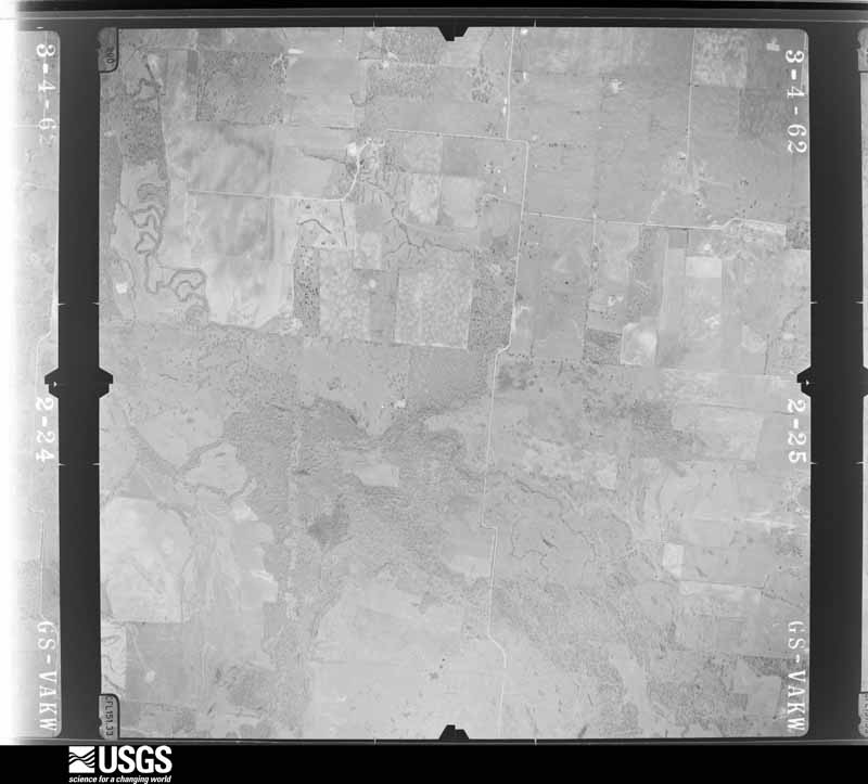
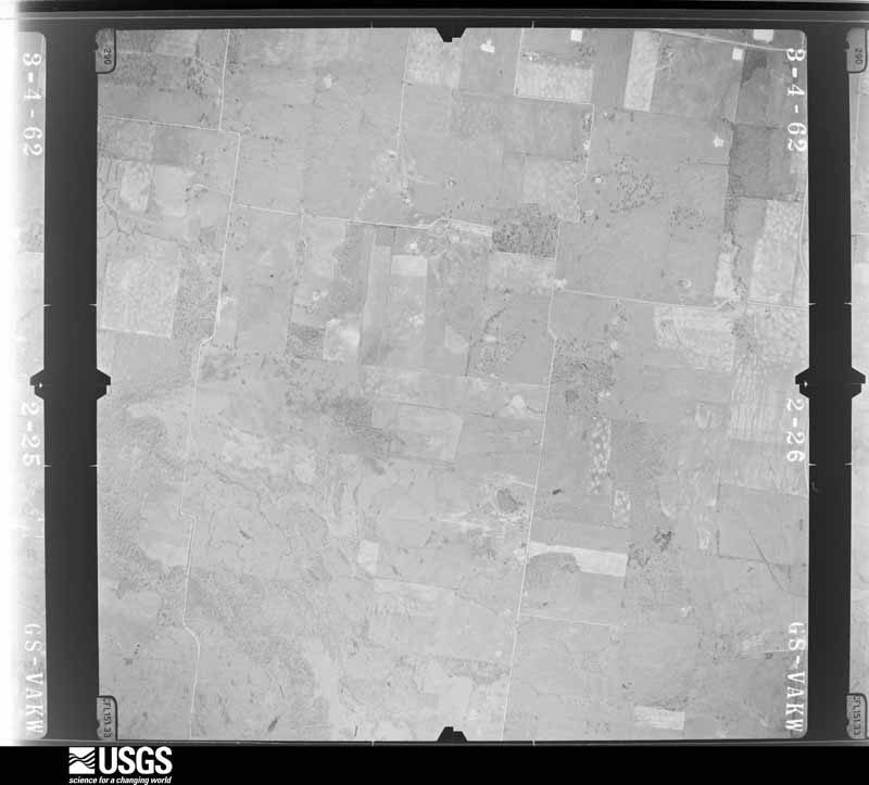
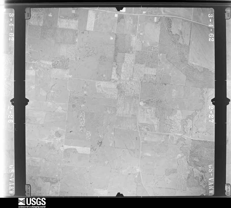
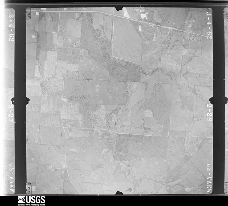


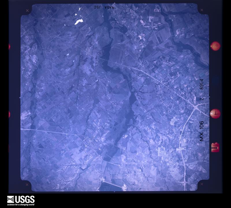
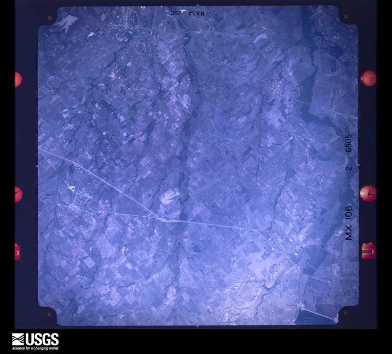


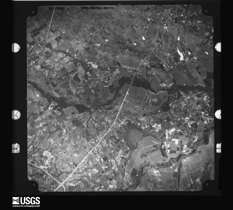
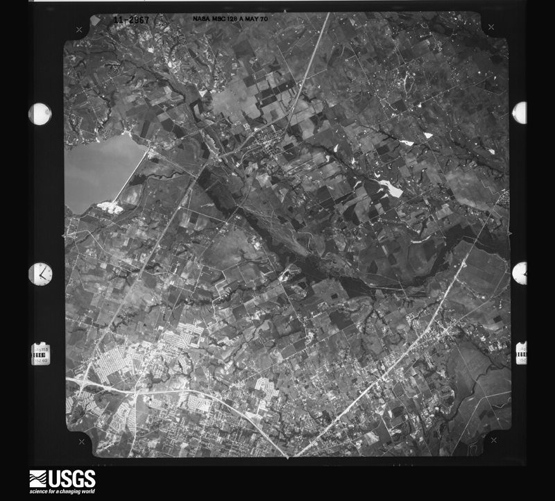








The thermometers that kept this county's weather, and the gages that measured the flow of its streams, as the federal records hold them. The extremes below are measured values from those records, not estimates.
Who lived here in 1950, one enumeration district at a time, as the Census Bureau described each district. Each row opens its official National Archives result, with Population Schedules and ED Maps available there.
Every wildfire the federal occurrence database records inside this county: 1,715 of them, burning about 11,793 acres. 31 started naturally and 51 were recorded as arson. Each settlement page carries the fires within five miles of it.
| Reported cause | Fires |
|---|---|
| Debris and open burning | 788 |
| Missing data/not specified/undetermined | 400 |
| Equipment and vehicle use | 219 |
| Smoking | 133 |
| Power generation/transmission/distribution | 57 |
| Arson/incendiarism | 51 |
| Natural | 31 |
| Misuse of fire by a minor | 25 |
| Recreation and ceremony | 7 |
| Railroad operations and maintenance | 3 |
| Other causes | 1 |
The five largest, by the area the report gives. None of them was recorded as arson.
| Date | Cause | Size | Reported by | Name on the report |
|---|---|---|---|---|
| 24 September 2005 | Missing data/not specified/undetermined | 500 acres | Texas A & M Forest Service | not named |
| 4 September 2011 | Power generation/transmission/distribution | 440 acres | Texas A & M Forest Service | 2011-391 |
| 24 September 2005 | Missing data/not specified/undetermined | 325 acres | Texas A & M Forest Service | not named |
| 27 August 2011 | Missing data/not specified/undetermined | 250 acres | Texas A & M Forest Service | FARR ALTOM FIRE |
| 10 February 2017 | Debris and open burning | 250 acres | Texas A & M Forest Service | CODY |
| 10 February 2017 | Missing data/not specified/undetermined | 250 acres | Texas A & M Forest Service | 148 COMMAND |
| 26 December 2005 | Debris and open burning | 250 acres | Texas A & M Forest Service | not named |
| 10 February 2017 | Power generation/transmission/distribution | 250 acres | Texas A & M Forest Service | FM 148 |
Every settlement page carries the fires within five miles of it - see the settlement index below.
The NOAA Storm Events Database holds 597 reports for this county, causing 1 death, 16 injuries and about $113,531,100 in recorded property damage. Each settlement page carries the reports that name it.
| Kind of event | Reports |
|---|---|
| Thunderstorm Wind | 264 |
| Hail | 205 |
| Flash Flood | 70 |
| Tornado | 37 |
| Flood | 16 |
| Lightning | 4 |
| Heavy Rain | 1 |
The most serious of them, by death, then injury, then recorded damage. The accounts are quoted exactly as the forecast office filed them.
| When | Event | Place named | Harm | What the report says |
|---|---|---|---|---|
| April 1970 | Tornado (F2) | not stated | 1 killed | no account filed |
| April 2012 | Tornado (EF3) | Forney | 7 hurt, $100,000,000 | An EF-3 tornado did extensive damage as it wound its way through the town of Forney. The tornado began near the intersection of Broad St and N Bois D'arc Street just southwest of Highway 80. As it moved to the northeast, the first significant damage was noted near Aimee St and N Bois D'arc St. There was substantial tree damage with some large trees uprooted near this intersection. Also, shingle damage, roof damage to a fire station nearby, blown out windows at a few homes and an outbuilding was destroyed, all near this intersection. A street sign at the intersection was also completely bent flat near the base. The tornado moved northeast and crossed Hwy 80 near the Forney Cleaners business where substantial roof and commercial sign damage occurred. Debris was also observed in the median between the east and westbound lanes near this location. The tornado continued northeast producing light damage to industrial buildings, but was largely over open fields. The tornado then crossed over Ridgecrest Rd and produced substantial damage to many homes in the Diamond Creek subdivision. One of the first homes struck was on Woodberry Dr and was completely destroyed. Several more homes were destroyed in this subdivision and other homes sustained substantial damage. It was determined that several of the destroyed homes were destroyed as the result of excessive lift being forced upon the roof, and the roofs of these homes were poorly attached to the external walls of the home. Once the roofs failed, pressure built up on internal walls causing the failure of nearly all external and internal walls. As the tornado continued northeast through the subdivision it consistently produced damage to homes, most of which was different degrees of roof or top floor damage. The tornado exited the subdivision at Crosby Elementary School. The tornado damaged several vehicles that were in the schools parking lot. One vehicle was lofted approximately 300 yards into a field northeast of the school. The school itself sustained mainly roof damage. Children were in the school when the tornado struck, but no injuries occurred. The tornado continued northeast for several miles, producing light/EF-0 damage along the way. In total, this tornado destroyed 14 homes, caused major damage to 28 homes and minor damage to another 42 homes. Many of the damaged homes were in the Diamond Creek Subdivision. Due to damage in the Diamond Creek Subdivision, the maximum estimated winds with this tornado were 150 mph. The path length was approximately 7.7 miles, and the maximum width was 150 yards. Seven people sustained non life-threatening injuries. |
| May 1972 | Tornado (F1) | not stated | 2 hurt, $25,000 | no account filed |
| March 1997 | Thunderstorm Wind | Mabank | 1 hurt, $1,500,000 | no account filed |
| May 2019 | Tornado (EF2) | Tolosa | 1 hurt, $1,000,000 | A tornado began in southern Kaufman County on the northwest side of Cedar Creek Reservoir, near FM 4042 and Valentine Rd. Notable tree damage was observed at the start of the track. The tornado crossed the reservoir and struck the peninsula where Cedar Creek Golf Course is located. Significant tree damage occurred along the track in the form of uprooted and snapped large hardwood trees. Some trees were snapped near the base, but most were snapped about half way up the trunk. The tornado appeared to strengthen to EF-2 winds as it crossed the golf course. On the east side of the peninsula, the tornado significantly damaged a house, lifting the roof off over an attached indoor swimming pool and part of the roof over the main house. The tornado then crossed the reservoir again, did minor tree damage across Hwy 175 and dissipated just past the highway. Maximum winds with the tornado were estimated at 120 mph. One person suffered minor injuries. |
| May 2024 | Thunderstorm Wind | Mabank | 1 hurt, $20,000 | Thunderstorm winds of 70 mph were estimated in Mabank. Trees were knocked down in the area. One tree fell on a vehicle causing an injury. |
| May 2016 | Thunderstorm Wind | Talty | 1 hurt, $10,000 | A wind gust caused an 18 wheeler to lose control and roll over on eastbound I-20 over the FM 1641 overpass. |
| August 2005 | Lightning | Terrell | 1 hurt | Lightning struck the ground and went through a paramedic. He was not seriously injured. A cow was also struck by lightning and killed and several bales of hay caught on fire. |
| June 1990 | Thunderstorm Wind | not stated | 1 hurt | no account filed |
| May 1985 | Thunderstorm Wind | not stated | 1 hurt | no account filed |
| June 2010 | Flash Flood | Mabank | $1,500,000 | Significant flash flooding occurred in the southern parts of Kaufman County, especially in the city of Mabank. Numerous roads were flooded and water flowed over several bridges. Over 10 inches of rain fell in Mabank and this led to numerous homes threatened with flood water and at least four homes were inundated with water. One home had to be evacuated. Numerous vehicles suffered damage as the water rose and flooded the insides. The flooding was directly responsible for power outages throughout the area and led to a boil water notice. |
| April 2024 | Flash Flood | Kaufman | $1,000,000 | Emergency management reported 8 inches of water into 4 homes in Kaufman. |
| April 2012 | Hail | Forney | $1,000,000 | Tea cup sized and slightly larger hail pelted homes in the Travis Ranch Subdivision in north Forney. The hailstones penetrated 1/2-inch thick plywood and roof decks. |
| May 2024 | Thunderstorm Wind | Forney | $500,000 | Damage was reported in and around Forney. Tree limbs and fences were knocked down, sheds were damaged, the roof of the O'Reilly Auto Parts was damaged, and major damage was reported to the North Forney High School. |
| April 1995 | Tornado (F1) | Post Oak | $500,000 | Seven homes and a barn were destroyed, and two barns were damaged by a tornado. |
| February 1993 | Thunderstorm Wind | Mabank | $500,000 | A downburst did widespread damage to a 3-mile-swath across the northwest and southwest sides of Mabank. Power lines were blown down, store fronts damaged, the city maintenance building was destroyed, the roof of school partially blown off, and two mobile homes heavily damaged. |
| August 2022 | Flash Flood | Scurry | $350,000 | Flooding was noted on County Road 4094 where the water was widespread and several feet deep. One person had to be rescued from their home. The flood waters did enter some structures in this area. |
| August 2022 | Flash Flood | Scurry | $350,000 | Flooding was noted on County Road 4094 where the water was widespread and several feet deep. One person had to be rescued from their home. The flood waters did enter some structures in this area. |
| April 2010 | Thunderstorm Wind | Mabank | $300,000 | Several buildings in Mabank sustained significant damage due to thunderstorm winds. The fire marshall estimated that 14-15 commercial buildings were damaged. Terry's Furniture Store, Mid-Cities Storage, and Groom & Sons Hardware all sustained significant damage. Part of the second story collapsed at the furniture store, at least one storage building was blown over at the storage center, and the roof of the hardware store was partially lost. Blown off shingles were common at residential homes. |
| March 2004 | Thunderstorm Wind | Crandall | $300,000 | A downburst destroyed a storage building and partially unroofed a house west of Kaufman. Along FM 987, five homes were destroyed, trees and power lines were blown down. In the community of Post Oak Bend a mobile home was heavily damaged, a house was partially unroofed, and damage occurred to barns and trees. Minor roof damage occurred to several other structures. The strong winds caused five wrecks on Interstate 20 at mile marker 504. |
| April 2023 | Hail | Crandall | $250,000 | A social media picture indicated a hailstone around 3.5 inches in diameter about 2 miles north of Crandall, TX. |
| March 1963 | Tornado (F3) | not stated | $250,000 | no account filed |
| May 2024 | Thunderstorm Wind | Talty | $200,000 | Large, split trees and many downed branches were reported in the Lost Creek Estates neighborhood in Talty. Elsewhere around Talty, trees, roofs, and fences were damaged. A NWS survey of the area determined winds up to 85 mph caused the damage around Talty. |
| April 2023 | Hail | Crandall | $150,000 | A social media picture indicated hail up to tennis ball sized in Crandall, TX. |
| April 2011 | Thunderstorm Wind | Terrell | $150,000 | Trees were uprooted and roofs were damaged by straight-line winds in Terrell. A mobile home on Hwy 34 north of Terrell was rolled onto its side and one end collapsed. |
| July 1996 | Lightning | Terrell | $110,000 | no account filed |
| May 2024 | Thunderstorm Wind | Terrell Muni Arpt | $100,000 | Damage to a large Madix warehouse building was reported near the Terrell Airport. One side was blown in and the roof partially collapsed. |
| April 2024 | Flash Flood | Post Oak Bend | $100,000 | Broadcast media had video showing flash flooding of homes and residential property in the city of Kaufman due to a slow-draining nearby reservoir during heavy rainfall. |
| April 2024 | Flash Flood | Terrell Wallace Arpt | $100,000 | Multiple roads within the county were closed due to flooding including: FM 2728 east of Oak Ridge, CR 102, TX 243, and CR 118 near Ola, FM 2860 between Oak Grove and Becker, and CR 151 southeast of Kaufman. FM 1395 had approximately 1 foot of water flowing over the bridge, and a truck was reported as swept off the road on US 175 as well. |
| April 2023 | Hail | Kaufman | $100,000 | A social media picture indicated golf ball sized hail about a mile east of Kaufman, TX. |
| April 2023 | Hail | Terrell Wallace Arpt | $100,000 | Broadcast media reported golf ball sized hail just south of the Buc-ee's in Terrell, TX. |
| April 2022 | Thunderstorm Wind | Scurry | $100,000 | A ground survey and radar analysis determined straight-line winds of 70-75 mph caused a swath of tree, sign, and minor roof damage from near the Scurry area to US 175 north of Kemp. |
| August 2022 | Flash Flood | Crandall | $100,000 | Part of Union Hill Rd was washed out, trapping 10 families. |
| October 2019 | Tornado (EF1) | Cobbs | $100,000 | A tornado formed in open country approximately 3.5 miles SE of Elmo. Moving northeastward, this tornado removed sheet metal from an outbuilding on ranch property. Immediately after crossing Kaufman County Road 314, the tornado intensified, snapping two power poles along CR 314 and impacting a single family residence and adjacent outbuildings. An adjacent metal barn was severely damaged, with the sheet metal roof almost completely removed and steel trusses severely bent. Several large trees on the property were snapped or sustained major trunk damage. A personal weather station on the roof of the home measured a wind gust of 100 mph during the tornado, and damage elsewhere on the property was consistent with 95-105 mph EF-1 intensity windspeeds. |
| March 2017 | Thunderstorm Wind | Combine | $100,000 | Emergency management reported 12 homes with damage and numerous trees blown down in the area of Lanier Rd at Pecan Trail in Combine, TX. |
| February 2017 | Thunderstorm Wind | Kaufman | $100,000 | The Kaufman County Emergency Manager reported a tractor trailer was blown over on westbound Highway 175. |
| July 2010 | Thunderstorm Wind | Forney | $100,000 | Downburst winds caused damage to barns and several homes in the city of Forney. |
| April 2009 | Thunderstorm Wind | Kemp | $100,000 | Straight line winds blew out windows on 6 cars at the Kemp ISD Administration Building, damaged buildings and downed power poles and large trees up to 4 feet in diameter. Several large trees were snapped at the cemetery. At Kemp High School, the air conditioning units on the roof were damaged and the ceiling was torn off the band hall. The power was knocked out in several places in Kemp. |
| May 2007 | Thunderstorm Wind | Elmo | $100,000 | Numerous large trees were uprooted, and large limbs pulled down power lines. Several business signs in town were knocked over and the ceiling of a drive-thru bank was damaged. The damage to the ceiling was estimated at $15,000. Falling trees damaged houses and vehicles, and windows were blown out of one business. |
| April 2011 | Thunderstorm Wind | Forney | $75,000 | Straight-line winds damaged trees and some outbuildings across the northern portions of Kaufman County. |
| October 2002 | Thunderstorm Wind | Kaufman | $75,000 | Downburst left a path approximately 300 feet wide from northwest to southeast. Numerous businesses unroofed with doors and windows blown out. there were also numerous signs and trees blown down. |
| April 2011 | Tornado (EF1) | Forney | $60,000 | A tornado touched down north of Forney near the intersection of FM 740 and Lover's Lane. This tornado was approximately 60 yards wide and remained on the ground along a half mile path. Five homes suffered roof damage. This tornado has been rated an EF-1 with maximum winds estimated at 100 to 105 mph. |
| December 1999 | Thunderstorm Wind | Mabank | $60,000 | Two homes were severely damaged and minor damage occurred at thirteen other homes. Power lines were blown down, the roof of a car wash was damaged, and the back porch roof was blown off a house. |
| July 2025 | Flash Flood | Terrell | $50,000 | Emergency management reported roads inundated at and around High Street and Delphine Street in Terrell. At least one car had water up to the hood in the picture that was provided. |
| April 2024 | Flash Flood | Terrell Wallace Arpt | $50,000 | The same roadways that flooded two days prior flooded this morning as well including: FM 2728 east of Oak Ridge, CR 102, TX 243, and CR 118 near Ola, FM 2860 between Oak Grove and Becker, and CR 151 southeast of Kaufman. Minor flooding also reported across various other county roads. |
| April 2023 | Hail | Talty | $50,000 | Broadcast media reported golf ball sized hail near the intersection of FM 1641 and Helms Trail in Talty, TX. |
| April 2023 | Hail | Talty | $50,000 | A public report indicated golf ball sized hail about 4 miles northeast of Crandall, TX. |
| October 2019 | Tornado (EF0) | Kaufman Flying G Arp | $50,000 | A tornado briefly formed approximately 5 miles north of the City of Kaufman, partially removing a portion of metal roofing from a single-family residence. A large section of this roofing was blown back toward the southwest, into a powerline. A nearby power pole was also partially snapped. The tornado dissipated shortly after impacting this residence. |
| April 2010 | Tornado (EF1) | Mabank | $50,000 | A brief EF-1 tornado, producing winds of 90 mph, touched down in Mabank and significantly damaged a residential home. The tornado was approximately a quarter mile in length. |
| May 2009 | Thunderstorm Wind | Forney | $50,000 | Widespread damage occurred in Forney. On Winner's Circle, several large trees were split or uprooted and several outbuildings were blown over or damaged. A stadium light pole at Brown Middle School collapsed. Metal flashing was lost on the west side of Blackburn Elementary School. At Forney High School, a fence and the home dugout at the baseball field was damaged, and water damage occurred in the auditorium when a roof drain failed. |
| December 2006 | Flash Flood | Terrell | $50,000 | Flooding reported on CR 429, FM 2727, FM 2578, FM 987, and CR 140 southeast of Terrell, while in Mabank the roof of a car service center collapsed from the weight of the rainwater. The collapse of the roof damaged a car, some equipment, and the brick support walls. |
| May 1995 | Thunderstorm Wind | Kemp | $50,000 | Roof damage occurred at several schools. Trees were also blown down in the area. |
| April 1994 | Tornado (F1) | Terrell | $50,000 | A brief tornado touchdown unroofed a house. |
| April 1993 | Hail | Cobbs | $50,000 | Hail caused $12,000 dollars damage to crops and damaged cars, roofs, and windows. 3 NE Terrell,19,1850CST,,,0,0,0,0,Hail (1.00) Kemp,19,2000CST,,,0,0,4,0,Hail (1.75) Hail damage to cars, trucks, signs, roofs, and awnings. |
| March 1997 | Thunderstorm Wind | Kemp | $50,000 | no account filed |
| April 2011 | Thunderstorm Wind | Terrell Wallace Arpt | $40,000 | Thunderstorm winds blew a roof off a single family home near Nike Dr. and Highway 205 north of Terrell. Numerous large trees were also blown down. |
| August 2010 | Thunderstorm Wind | Talty | $35,000 | The emergency manager reported roof and wall damage to one home on CR 213A and also 2 metal buildings in the same area were destroyed. |
| June 2007 | Thunderstorm Wind | Mabank | $35,000 | Trees fell onto a house, truck, and fencing on CR 4024. |
| May 2024 | Thunderstorm Wind | Lawrence | $30,000 | Overturned 18 wheelers were reported on I-20 near Terrell. Large trees were also reported knocked down in Terrell. |
| April 2011 | Tornado (EF0) | Mabank | $30,000 | A NWS Storm Survey determined an EF-0 tornado began over Cedar Creek Reservoir and tracked east into Mabank. This tornado had a path length of approximately 5 miles and an estimated width of 400 yards. Buildings in Mabank sustained roof damage. Winds were estimated between 80 and 85 mph. |
The Survey's mineral resources record lists 6 workings inside this county. 1 still produces and 5 are closed or unrecorded. Each settlement page carries the workings within five miles of it.
| Commodity | Workings |
|---|---|
| Stone, Crushed/Broken | 6 |
The least common of them first, because a county's hundredth gravel pit says nothing its first ten did not.
| Where | Site | Commodity | Status | Recorded |
|---|---|---|---|---|
| Able Springs Quarry | Stone, Crushed/Broken | Past Producer | ||
| Davis Pit | Stone, Crushed/Broken | Past Producer | ||
| Jahnes Pit | Stone, Crushed/Broken | Producer | ||
| Johnes Pit | Stone, Crushed/Broken | Past Producer | ||
| Malone Quarry | Stone, Crushed/Broken | Past Producer | ||
| Tull Pit | Stone, Crushed/Broken | Past Producer |
Named settlements recorded in the Geographic Names Information System, each with the topographic sheets covering it. Villages, hamlets and abandoned places alike. Each is shown with the nearest named watercourse or landform and the survey quadrangle it falls on.
Terrell South census division · 75160 · On Bachelor Creek · Terrell South quadrangle
10 sheets, 1954 to 1986
Terrell census division · 75160 · On Berry Creek · Terrell North quadrangle
10 sheets, 1919 to 1986
Kaufman census division · 75158 · On Coal Iron Creek · Rosser quadrangle
9 sheets, 1954 to 1985
Kaufman census division · 75142 · On Prairie Branch · Kaufman quadrangle
10 sheets, 1954 to 1986
Kaufman census division · 75142 · On Kaufman Branch · Kaufman quadrangle
10 sheets, 1954 to 1986
Terrell South census division · 75161 · On Bachelor Creek · Terrell South quadrangle
10 sheets, 1954 to 1986
Terrell South census division · 75142 · On Eagans Branch · Terrell South quadrangle
10 sheets, 1954 to 1986
Terrell South census division · 75142 · On Eagans Branch · Terrell South quadrangle
10 sheets, 1954 to 1986
Terrell South census division · 75147 · On Williams Creek · Prairieville quadrangle
11 sheets, 1920 to 1985
Forney census division · 75160 · On Terry Creek · Forney South quadrangle
12 sheets, 1954 to 1986
Terrell census division · 75160 · Near Breezy Hill · Terrell South quadrangle
10 sheets, 1954 to 1986
Terrell South census division · 75160 · Terrell South quadrangle
10 sheets, 1954 to 1986