 Block
BlockFrom the record
5 National Register listings published here.
Sources: the National Register database, National Park Service
44 topographic sheets cover 54 settlements here, and 5 properties are on the National Register of Historic Places.
5 National Register listings published here.
Sources: the National Register database, National Park Service
Every property in this county listed on the National Register of Historic Places, with the year it was listed and the federal nomination document.
| Photograph | Property | Type | Listed | Reference |
|---|---|---|---|---|
| Booker T. Washington Emancipation Proclamation Park | site | 1976 | 76002046 | |
 | Joseph E. Johnston Confederate Reunion Grounds | site | 1976 | 76002048 |
| Liberty Square Apartments | district | 2018 | 100002847 | |
| Liberty Village Apartments | district | 2018 | 100002846 | |
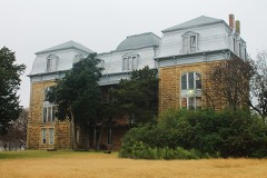 | Texas Hall, Old Trinity University | building | 1978 | 78002971 |
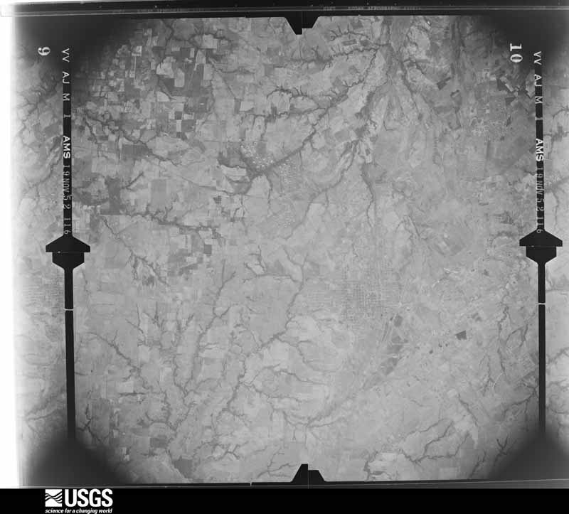
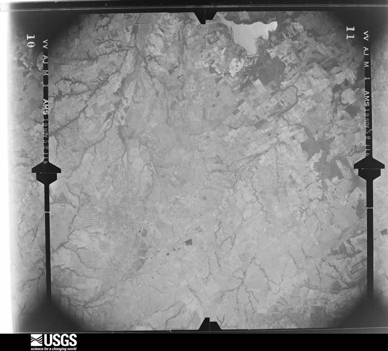
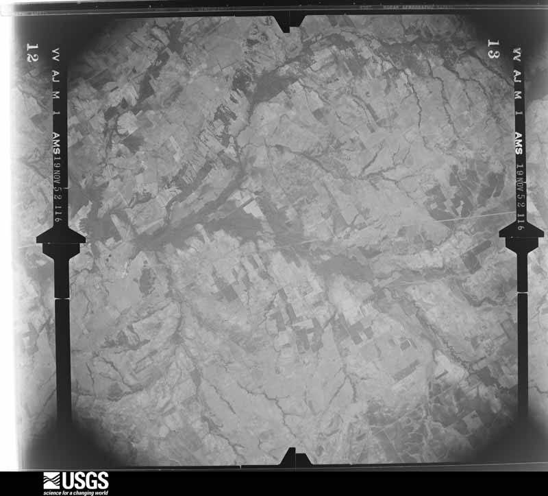
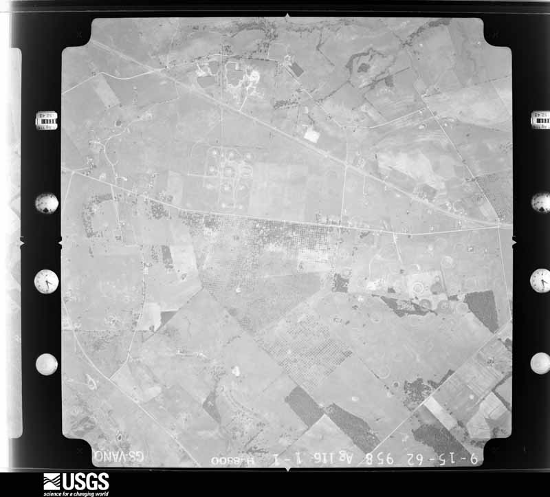
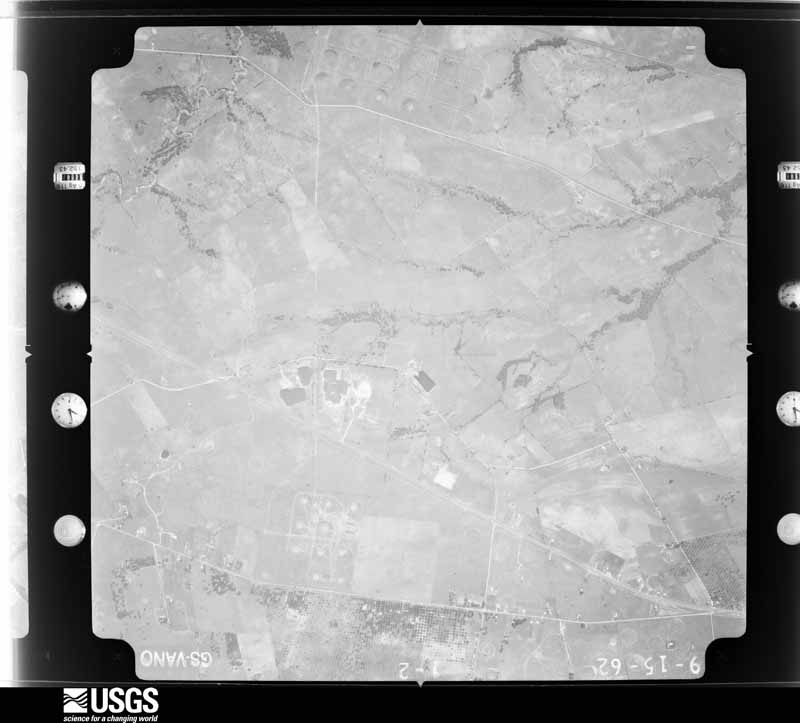
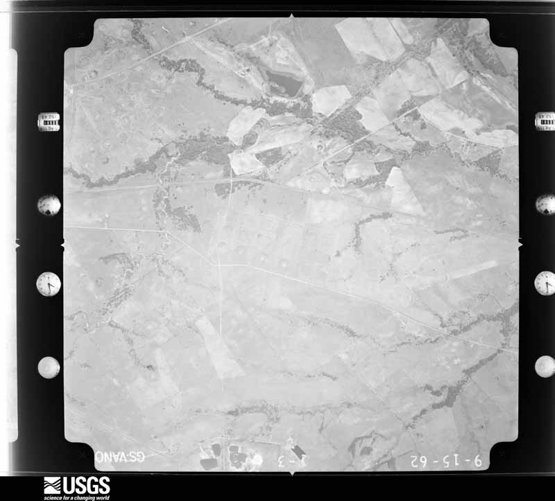
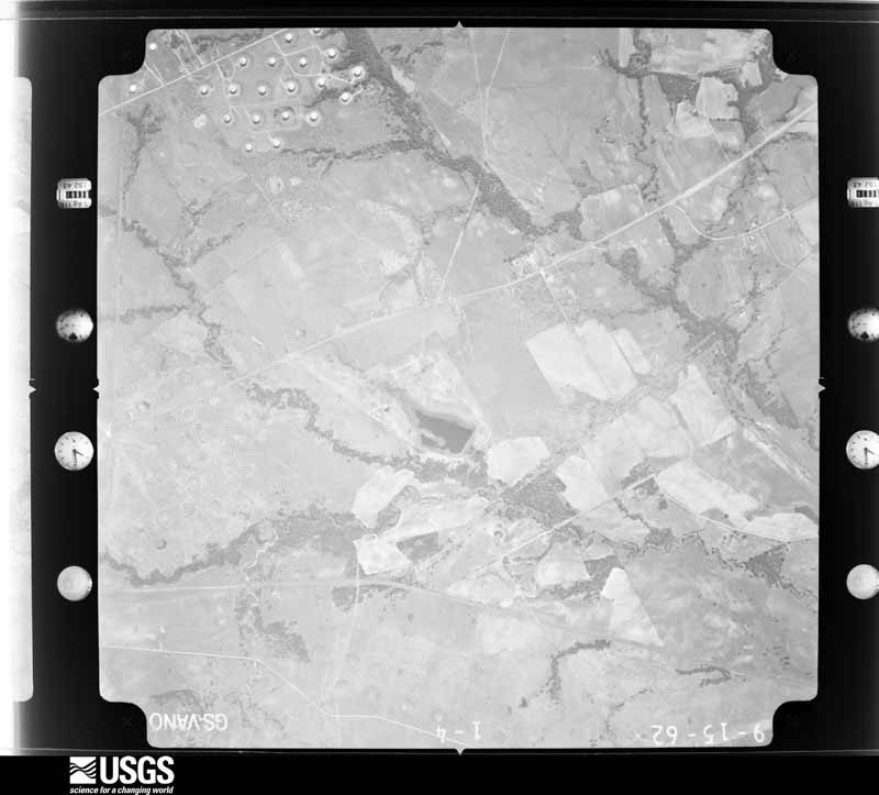
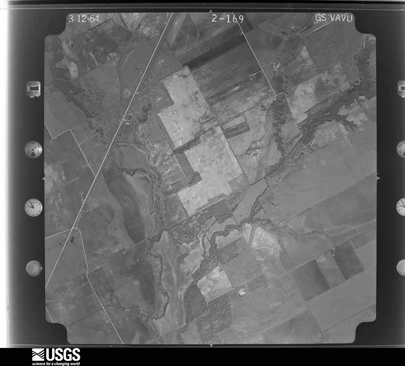
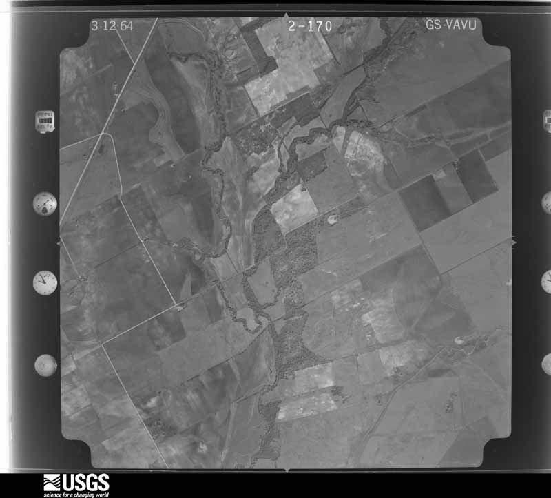
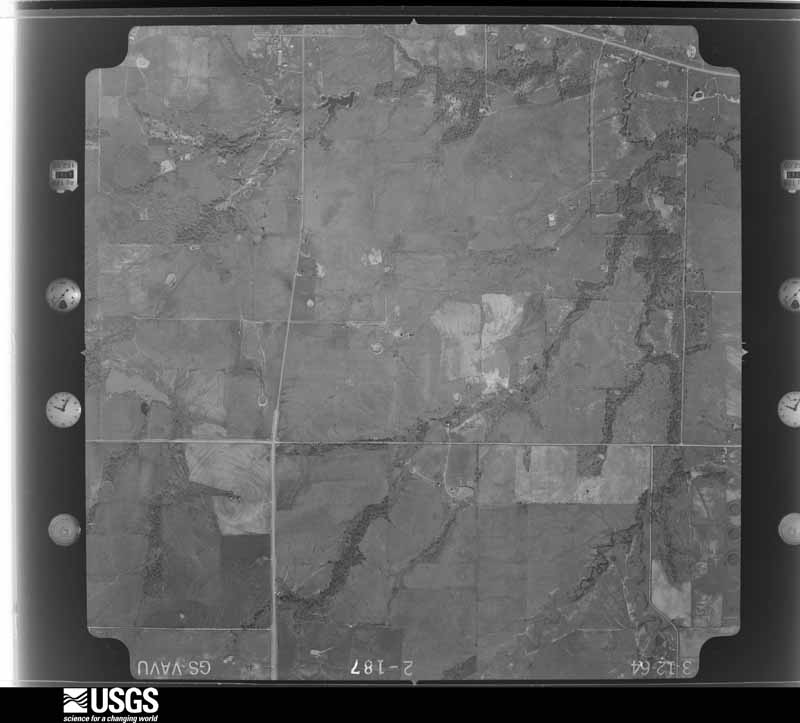
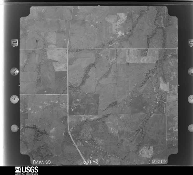
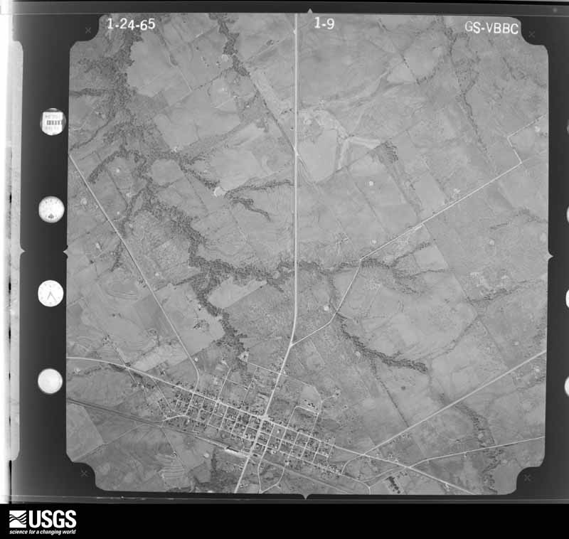
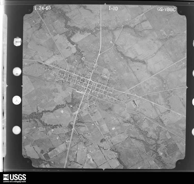
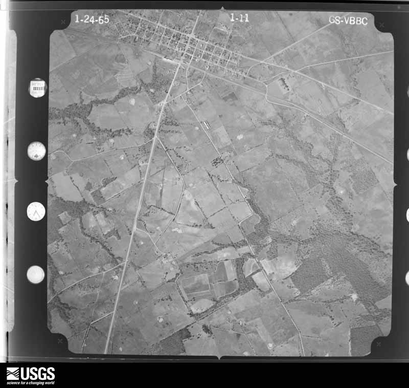
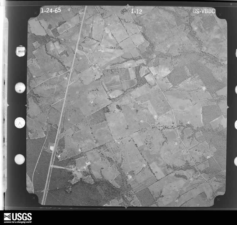
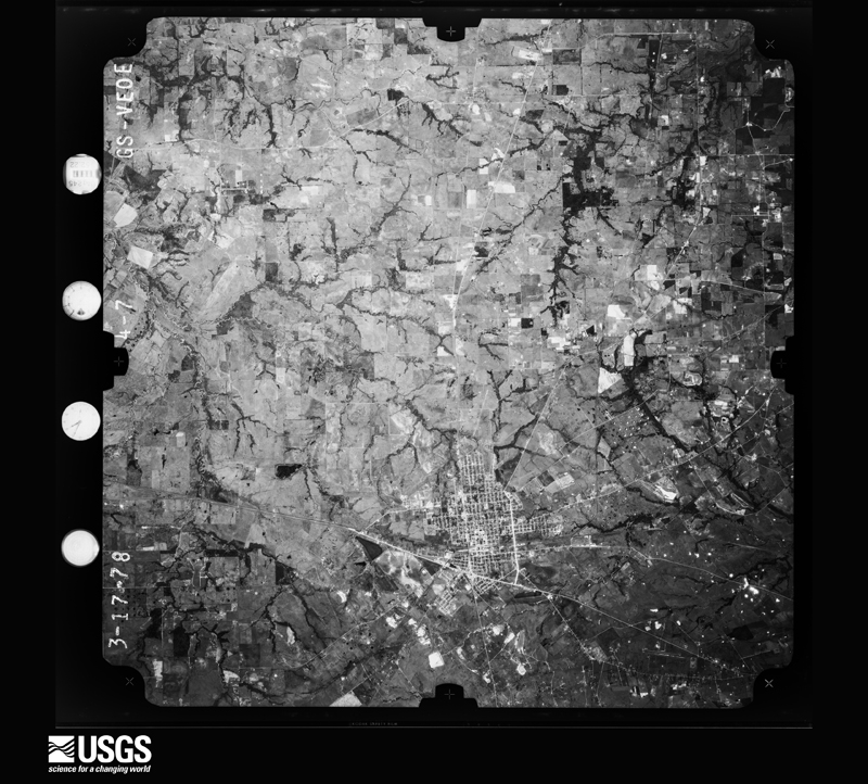
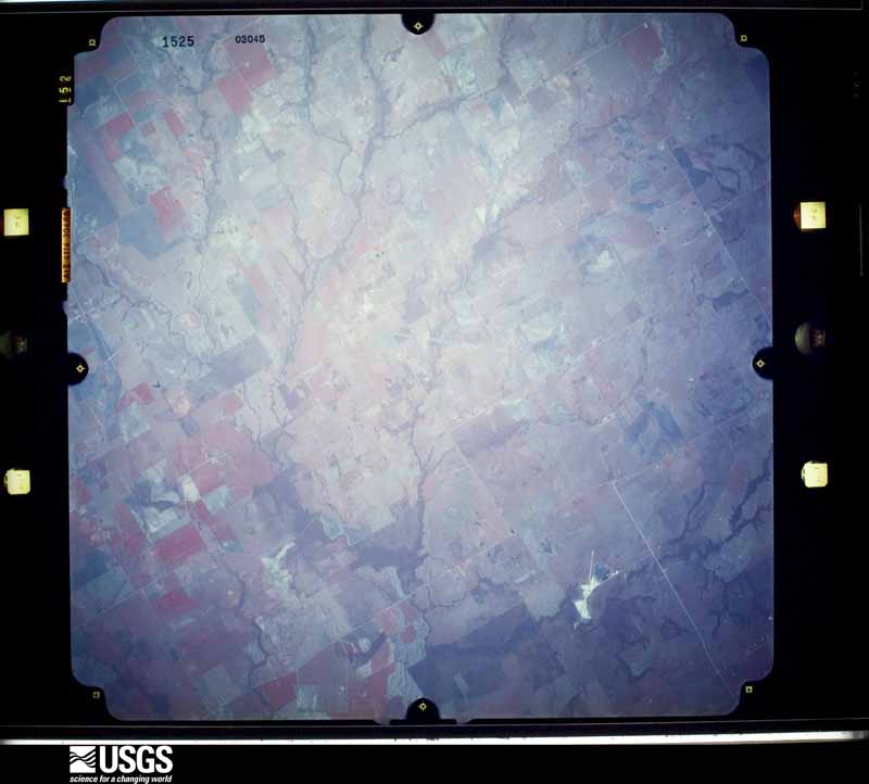
Flown by the U.S. Geological Survey between 1937 and 1989, the Aerial Photo Single Frames collection is the definitive mid-century view of the land: fields, roads and rivers as the camera saw them. The Survey holds 1,496 frames inside the rectangle that bounds this county; the 28 frames below were taken over the county itself, chosen across the decades of flights (at most four a year from that rectangle), so one flight cannot crowd out the rest. The full set is free to browse and download at EarthExplorer under the dataset Aerial Photo Single Frames.

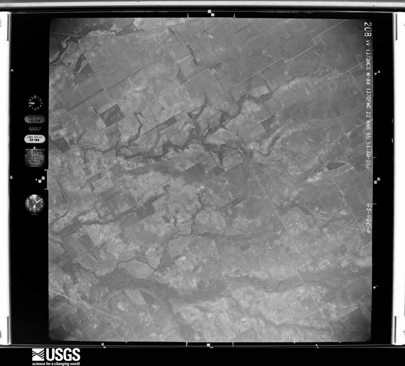
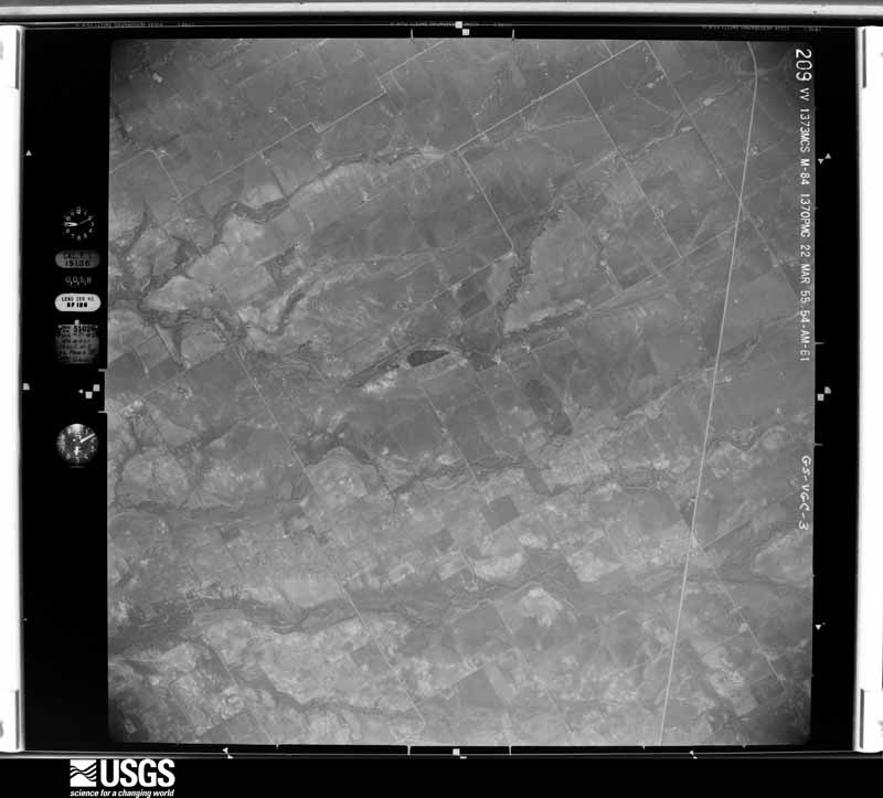
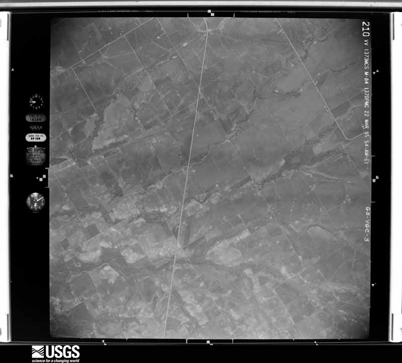
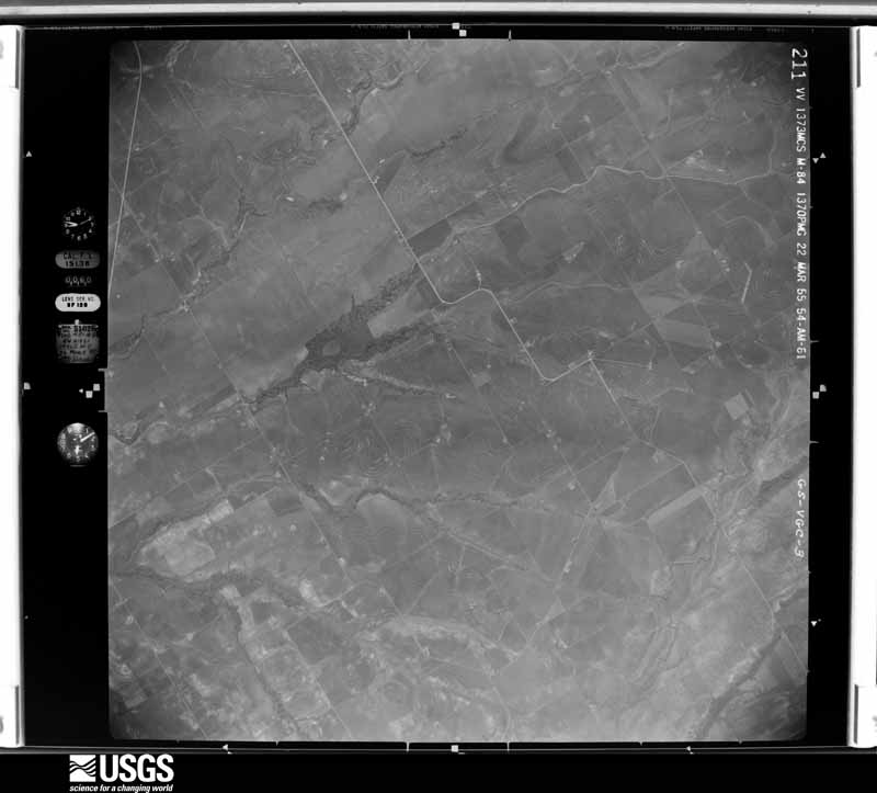






The thermometers that kept this county's weather, and the gages that measured the flow of its streams, as the federal records hold them. The extremes below are measured values from those records, not estimates.
Who lived here in 1950, one enumeration district at a time, as the Census Bureau described each district. Each row opens its official National Archives result, with Population Schedules and ED Maps available there.
Every wildfire the federal occurrence database records inside this county: 931 of them, burning about 16,743 acres. 15 started naturally and 26 were recorded as arson. Each settlement page carries the fires within five miles of it.
| Reported cause | Fires |
|---|---|
| Debris and open burning | 407 |
| Missing data/not specified/undetermined | 340 |
| Equipment and vehicle use | 91 |
| Power generation/transmission/distribution | 29 |
| Arson/incendiarism | 26 |
| Natural | 15 |
| Smoking | 8 |
| Misuse of fire by a minor | 7 |
| Railroad operations and maintenance | 4 |
| Recreation and ceremony | 3 |
| Fireworks | 1 |
The five largest, by the area the report gives. None of them was recorded as arson.
| Date | Cause | Size | Reported by | Name on the report |
|---|---|---|---|---|
| 4 September 2011 | Power generation/transmission/distribution | 3,000 acres | Texas A & M Forest Service | PRAIRIE HILL FIRE |
| 30 July 2008 | Missing data/not specified/undetermined | 400 acres | Texas A & M Forest Service | not named |
| 26 June 2005 | Debris and open burning | 400 acres | Texas A & M Forest Service | not named |
| 26 December 2005 | Equipment and vehicle use | 370 acres | Texas A & M Forest Service | not named |
| 26 December 2005 | Equipment and vehicle use | 300 acres | Texas A & M Forest Service | not named |
| 26 June 2005 | Equipment and vehicle use | 300 acres | Texas A & M Forest Service | HENDERSON - 115 |
| 8 February 2008 | Missing data/not specified/undetermined | 300 acres | Texas A & M Forest Service | not named |
| 23 July 2005 | Natural | 250 acres | Texas A & M Forest Service | not named |
Every settlement page carries the fires within five miles of it - see the settlement index below.
The NOAA Storm Events Database holds 415 reports for this county, causing 1 death, 34 injuries and about $33,566,300 in recorded property damage. Each settlement page carries the reports that name it.
| Kind of event | Reports |
|---|---|
| Thunderstorm Wind | 150 |
| Hail | 133 |
| Flash Flood | 86 |
| Tornado | 31 |
| Flood | 12 |
| Heavy Rain | 3 |
The most serious of them, by death, then injury, then recorded damage. The accounts are quoted exactly as the forecast office filed them.
| When | Event | Place named | Harm | What the report says |
|---|---|---|---|---|
| December 2006 | Tornado (F2) | Kosse | 1 killed, 20 hurt, $1,000,000 | A damage survey was conducted by a team from the National Weather Service Forecast Office in Fort Worth, and they found that a tornado formed near Kosse. The first sign of damage found by the survey team was uprooted trees along CR 662. The tornado took a north-northeast track and several areas of large uprooted trees were found along CR 660, CR 656, CR 644, FM 1246 and FM 147. Damage to barns, sheds, and roofs was also found in this stretch. |Substantial damage was found along CR 635 were a home was struck, resulting in one fatality and several injuries. Portions of the roof were removed and an adjacent barn was heavily damaged. A barn was destroyed along the adjacent road CR 633. The next significant damage was along Highway 164 just west of Groesbeck, where several homes, barns, and trees suffered considerable damage. Numerous livestock were killed along the path. A total of about sixty homes and businesses were damaged in Limestone County, and it has since been designated a disaster area by the Governor.|The tornado then continued north into Fort Parker State Park. Lack of damage here indicated that the tornado dissipated nearby. |
| April 1990 | Tornado (F2) | not stated | 8 hurt, $25,000,000 | no account filed |
| April 1986 | Tornado (F1) | not stated | 2 hurt, $250,000 | no account filed |
| May 1994 | Thunderstorm Wind | Mexia | 2 hurt, $50,000 | Thunderstorm winds estimated at 80 mph damaged the roofs on at least ten buildings, overturned a mobile home, and downed power lines. Two injuries were reported in a restaurant. |
| December 2008 | Thunderstorm Wind | Mexia | 2 hurt, $2,000 | A fireworks stand was blown over with two people inside. |
| April 1990 | Tornado (F3) | not stated | $2,500,000 | no account filed |
| April 2009 | Flash Flood | Kosse | $1,000,000 | Several roads in Kosse are blocked with 3-5 of water over the road. Numerous county roads were under water county-wide from heavy rain during the day. Several homes around Lake Mexia and other lakes were flooded and so were schools in Groesbeck. An estimated 12 bridges and 60 roads were damaged or destroyed. |
| January 2017 | Tornado (EF0) | Tehuacana | $300,000 | A National Weather Service damage survey crew found evidence of a tornado outside of the city of Mexia, damaging numerous buildings on the campus of the Mexia State Supported Living Center. The warehouse on the south end of the campus suffered the most damage, as the metal building warehouse lost much of its roof and back wall. |
| March 2002 | Tornado (F2) | Thornton | $250,000 | This tornado first touched down just west of farm road 2749 about .5 mile southeast of Thornton. Two houses were damaged, one mobile home destroyed and a mobile home unroofed. The tornado moved northeast damaging a barn, then moved into the Davis Prairie community damaging several houses, some mobile homes, and numerous outbuildings. The tornado moved northeast and weakened before dissipating 2.4 miles south of the Box Church community. |
| June 1973 | Tornado (F2) | not stated | $250,000 | no account filed |
| March 2022 | Tornado (EF0) | Groesbeck | $200,000 | The tornado began on the southwest side of Groesbeck along the west side of S State Highway 114 where damage to a small barn resulted in the removal of the roof. As the tornado moved northeast it caused a narrow path of damage along Private Road 5401 with a few structures damaged including the lift and removal of a metal roof from a manufactured home and damage to a few metal shelters and a carport. The tornado then crossed Highway 14 N just north of Groesbeck causing damage to several trees as the tornado tracked toward Shiloh. As the tornado reached County Road 431 and FM 39 it lifted/wrapped a large anchored farm outbuilding against a tree. After crossing FM 39 the tornado partially removed the roof of a manufactured home before it is believed to have lifted. Maximum estimated winds were 85 mph. |
| November 1996 | Thunderstorm Wind | Thornton | $170,000 | no account filed |
| April 2011 | Tornado (EF1) | Groesbeck | $150,000 | A NWS Storm Survey determined an EF-1 tornado occurred in Groesbeck. This tornado had a path length of approximately one mile and an estimated width of 75 yards. Tree and building damage was observed along the path, mainly in downtown Groesbeck. The Courthouse, the Dairy Queen, the Tire Shop, the Lord's Store House, and the Volunteer Fire Department sustained building damage. An estimated 40 businesses sustained some type of damage, and the steeple of a baptist church was ripped off. Window damage to buildings and cars was caused by the winds and flying debris. Winds were estimated between 85 and 90 mph. |
| March 2016 | Flash Flood | Echols | $140,000 | A social media report indicated swift water flowing along Highway 84 near Lake Mexia. As the flooding worsened, Texas Task Force 1 helped rescue residents near Lake Mexia. In all, there were sixteen water rescues, along with 48 homes affected. THirty three homes had minor damage, and fifteen suffered major damage. |
| March 2008 | Thunderstorm Wind | Forest Glade | $125,000 | Significant damage occurred to a house on Lake Mexia when a large tree was uprooted and fell on the house. Trees fell onto a shed as well. |
| February 1998 | Thunderstorm Wind | Thornton | $120,000 | Strong wind damaged the roofs of four homes, and destroyed the roof of a barn and a shed. Trees, power lines, and antennas were blown down. |
| May 2024 | Flash Flood | Doyle | $100,000 | A train derailment of 5 sand hauler cars occurred due to high water near CR 456 and CR 406. |
| April 2023 | Hail | Shiloh | $100,000 | Emergency management reported golf ball sized hail 7 miles south of Mexia, TX. |
| April 2020 | Thunderstorm Wind | Shiloh | $100,000 | Large tree blown over onto home at FM 39 and LCR 458, causing significant damage. |
| April 2020 | Thunderstorm Wind | Doyle | $100,000 | Damage was reported east of Fort Parker State Park along LCRs 406, 456 and 460. An unoccupied trailer was rolled over and destroyed, metal fences and awnings were damaged, large tree limbs were knocked down, and some trees were uprooted in saturated soils. |
| June 2019 | Thunderstorm Wind | Tehuacana | $75,000 | Several medium sized tree limbs were knocked down by strong thunderstorm winds. In addition, a large tree was uprooted and fell into a home. Saturated soils are believed to have contributed to the tree falling over under winds below 60 mph. |
| April 2011 | Thunderstorm Wind | Echols | $75,000 | Multiple trees were blown over along west bound lanes of Highway 84 between Lake Mexia and Farm-to-Market Road 1245. Also, a manufactured home was shifted off its foundation in the Lake Mexia area. The public also reported trees were uprooted, trailers were damaged and trailer roofs were ripped off around Lake Mexia. |
| May 2024 | Flash Flood | Echols | $50,000 | Multiple bridges along US 84 were reported with high water, including US 84 and the Lake Mexia Bridge. Multiple areas of flooding were also reported in Mexia including a stranded motorist at HWYs 14 and 171 in Mexia. |
| May 2021 | Thunderstorm Wind | Echols | $50,000 | Emergency management reported major damage caused by a tree being blown onto a home near Lake Mexia. The tree partially punctured the roof of the home causing part of the ceiling to cave in. |
| April 2020 | Thunderstorm Wind | Mexia Muni Arpt | $50,000 | Widespread damage occurred in the Point Enterprise area, particularly along LCRs 502, 504, and 498. Metal sheeting was torn off of barns, carports and sheds, large tree branches were knocked down or split, power lines were down, and at least two vehicles were damaged by tree limbs falling on them. |
| May 2019 | Flash Flood | Groesbeck | $50,000 | Emergency management reported three occupants being rescued from a flooded home at 903 Robert Street in the city of Groesbeck, TX. |
| March 2016 | Flash Flood | Echols | $50,000 | Emergency management reported multiple swift water rescues around Lake Mexia. |
| October 2015 | Flash Flood | Billington | $50,000 | Several county roads across the northern portions of the county were covered in water after several hours of rainfall. |
| October 2013 | Flash Flood | Fallon | $50,000 | Significant flooding was reported along Highway 164 and the road was impassable. Several other major roads across the southern half of the county were closed due to flash flooding. Rainfall totals of 5-11 of rain fell across the southern half of the county in just a few hours. |
| June 2010 | Flash Flood | Oak Hill | $50,000 | Water was reported over Farm-to-Market Road 73 near Coolidge. Highway 171 from Munger to Coolidge was flooded and impassable. Low water crossings along Farm-to-Market Road 27 east of Coolidge were flooded, and Farm-to-Market Road 638 was also closed for one mile NE of Coolidge. |
| August 2008 | Flash Flood | Kosse | $50,000 | Neighborhoods were flooded and evacuations required in Kosse. Eight houses were at least partially flooded. One vehicle was submerged in Kosse. Floodwaters knocked down a retaining wall in front of a business. Numerous bridges were under water between Kosse, Thornton, and Groesbeck. Also, numerous roads were closed east of Thornton. FM 339 was flooded northwest of Thornton. FM 937 was also flooded near Davis Prairie. |
| March 2006 | Flash Flood | Countywide | $50,000 | Several roads were washed out due to flood waters, including FM 456, FM 460, and FM 937 near Groesbeck. Parts of a railroad crossing were also washed away near FM 456. Also, CR 463 near Mexia was barricaded, as was FM 462 and CR 243, due to flood waters. |
| August 2008 | Thunderstorm Wind | Delia | $40,000 | Downburst winds caused widespread damage across the northern half of the county. A metal barn was damaged on CR 134. Tree damage occurred along Highway 84 between Lake Mexia and Prairie Hill on Lazy Lou Ranch. A metal roof of a residence was damaged on FM 2310 near the community of Sandy. The most significant damage occurred along the northwest shore of Lake Mexia near the Red Bud subdivision. Numerous trees were uprooted or blown down, with some falling on cars and mobile homes. Some damage to roofs was also noted. |
| July 1996 | Thunderstorm Wind | Mexia | $40,000 | no account filed |
| April 2008 | Thunderstorm Wind | Coolidge | $30,000 | Large trees and power lines were blown down in Coolidge and Mexia. Large limbs were blown down near the Forest Glade area. A roof was ripped off a trailer home near Lake Mexia. |
| May 2006 | Thunderstorm Wind | Thornton | $30,000 | Trees were uprooted and a roof was blown off a building. Reported by cooperative observer. |
| July 2018 | Thunderstorm Wind | Old Union | $25,000 | Emergency management reported 2 houses with major roof damage and power lines down on County Road 822. |
| April 2011 | Heavy Rain | Thornton | $25,000 | A vehicle driving south on Highway 14 near Thornton hydroplanned and crashed resulting in one fatality and one injury. |
| June 2004 | Thunderstorm Wind | Groesbeck | $25,000 | Power lines were blown down in Groesbeck and across the county. |
| February 2003 | Flash Flood | Countywide | $25,000 | Several bridges on county roads washed out or flooded. High water was reported on Highway 84 east, and on FM 937. |
| June 1998 | Thunderstorm Wind | Groesbeck | $25,000 | Thunderstorm winds blew trees onto cars and houses. |
| May 1976 | Tornado (F2) | not stated | $25,000 | no account filed |
| February 1950 | Tornado (F2) | not stated | $25,000 | no account filed |
| May 2024 | Thunderstorm Wind | Ben Hur | $20,000 | Emergency management reported trees and power lines blown down, and a roof blown off of a house. |
| May 2024 | Thunderstorm Wind | Kosse | $20,000 | Emergency management reported that a tree fell onto a house in Kosse, TX. |
| April 2024 | Flash Flood | Groesbeck | $20,000 | Emergency management reported a high water rescue completed at a low water crossing underpass in Groesbeck. |
| June 2015 | Flash Flood | Mexia Muni Arpt | $20,000 | Heavy rainfall within remnant bands from TD Bill caused the flooding of several streets in Mexia. Some high water rescues were needed in the city. |
| April 2010 | Thunderstorm Wind | Coolidge | $20,000 | The roofs were damaged on two unoccupied mobile homes north of Coolidge. Other visible damage was sustained to the two mobile homes. |
| April 2009 | Flash Flood | Mexia | $20,000 | Several areas of flooding in and around Mexia were reported due to 5-6 inches of rain that fell over the area in a short time. The water was a few feet deep on East Hopkins Street. |
| May 2024 | Flash Flood | Datura | $15,000 | Emergency management reported flooding along FM 2310 between FM 73 and US 84, including one car being swept off the road. |
| October 2013 | Flash Flood | Mexia | $15,000 | Significant flooding was reported in Mexia after nearly 4 inches of rain fell in a short period. The 700 block of Palestine Street was impassable with water running into nearby homes and manholes blowing their covers. A new culvert at Bonham St and Hopkins Street was pushed out of the ground creating problems for drivers at that intersection. |
| June 2010 | Flash Flood | Groesbeck | $15,000 | Highway 164 at the Union Pacific railroad crossing was closed due to high water. Multiple streets were closed in Groesbeck due to flash flooding. |
| August 2009 | Thunderstorm Wind | Thornton | $15,000 | A homeowner suffered damage to his roof when a large limb fell, puncturing a hole into the roof. Several outbuildings were also destroyed on the property. |
| March 2007 | Thunderstorm Wind | Coolidge | $15,000 | Trees were uprooted and thrown onto cars and houses. |
| February 1998 | Thunderstorm Wind | Kosse | $15,000 | Strong winds blew over a mobile home. |
| April 2026 | Hail | Groesbeck | $12,000 | Emergency manager reported golf ball sized hail in Groesbeck. |
| June 2021 | Flash Flood | Groesbeck | $12,000 | Flash flooding was reported at multiple intersections in Groesbeck. Up to two inches of rain fell in less than an hour. |
| April 2025 | Flash Flood | Mexia | $10,000 | A car was stranded and a high water rescue was conducted at Highway 14 and CR 244 north of Mexia. |
| June 2025 | Flash Flood | Shiloh | $10,000 | EM relayed a report from a trained spotter that water was over the road on LCR 456 just west of the railroad and was potentially washed out. |
| April 2023 | Flash Flood | Groesbeck | $10,000 | Emergency management reported 2 to 3 feet of water on the underpass at Highway 164 and Rusk Street in Groesbeck, TX. |
The Survey's mineral resources record lists 15 workings inside this county. 11 still produce and 4 are closed or unrecorded. Each settlement page carries the workings within five miles of it.
| Commodity | Workings |
|---|---|
| Kaolin | 4 |
| Sand and Gravel, Construction | 3 |
| Stone, Crushed/Broken | 3 |
| Clay | 2 |
| Sand and Gravel, Construction, Kaolin | 1 |
| Limestone, General | 1 |
| Silica, Kaolin | 1 |
The least common of them first, because a county's hundredth gravel pit says nothing its first ten did not.
| Where | Site | Commodity | Status | Recorded |
|---|---|---|---|---|
| Kosse Bulk & Bag Plant | Silica, Kaolin | Producer | ||
| Unknown | Limestone, General | Past Producer | ||
| Unnamed Pit | Sand and Gravel, Construction, Kaolin | Producer | Sedimentary | |
| Barron Brick Plant and Pit | Clay | Past Producer | ||
| Unknown | Clay | Past Producer | ||
| Dresser Indust Mineral Plant | Sand and Gravel, Construction | Producer | ||
| Kosse Mine and Mill | Sand and Gravel, Construction | Producer | ||
| Limestone Sand & Graval Quarry | Sand and Gravel, Construction | Producer | ||
| McKinney Pit | Stone, Crushed/Broken | Producer | ||
| Mexia Quarry & Plant | Stone, Crushed/Broken | Producer | ||
| Portable Crusher No. 1 | Stone, Crushed/Broken | Producer | ||
| General Portland Clay Pit | Kaolin | Producer | ||
| Teague Pit | Kaolin | Past Producer | ||
| Universal Atlas Pit | Kaolin | Producer | ||
| Unnamed Pit | Kaolin | Producer | Sedimentary |
Named settlements recorded in the Geographic Names Information System, each with the topographic sheets covering it. Villages, hamlets and abandoned places alike. Each is shown with the nearest named watercourse or landform and the survey quadrangle it falls on.
Groesbeck census division · 76642 · On Cedar Creek · Thornton quadrangle
6 sheets, 1954 to 1985
Thornton census division · 76642 · Near Andrews Hill · Box Church quadrangle
7 sheets, 1954 to 1985
Personville census division · 76642 · On Pin Oak Creek · Fallon quadrangle
8 sheets, 1920 to 1985
Thornton census division · 76687 · On Keel Creek · Thornton quadrangle
6 sheets, 1954 to 1985
Personville census division · 76667 · Near Morgan Hill · Fallon quadrangle
8 sheets, 1920 to 1985
Personville census division · 75838 · On Dry Creek · Farrar quadrangle
7 sheets, 1954 to 1985
Kosse census division · 76653 · On Burleson Branch · Kosse West quadrangle
6 sheets, 1954 to 1985
Personville census division · 76642 · On Sand Branch · Fallon quadrangle
8 sheets, 1920 to 1985
Groesbeck census division · 76642 · Near Horn Hill · Ben Hur quadrangle
7 sheets, 1954 to 1985
Personville census division · 76642 · On Gibson Branch · Farrar quadrangle
7 sheets, 1954 to 1985
Thornton census division · 76687 · Near Grassy Hollow · Box Church quadrangle
7 sheets, 1954 to 1985
Personville census division · 76642 · On Gibson Branch · Teague South quadrangle
8 sheets, 1920 to 1985
Groesbeck census division · 76642 · On Rocky Creek · Thornton quadrangle
6 sheets, 1954 to 1985
Mexia census division · 76686 · On Tehuacana Hills · Tehuacana quadrangle
9 sheets, 1954 to 1985
Thornton census division · 76687 · On Eaton Branch · Thornton quadrangle
6 sheets, 1954 to 1985
Prairie Hill census division · 76664 · On Barger Branch · Mart quadrangle
8 sheets, 1920 to 1985