 Block
BlockFrom the record
1 National Register listing published here.
Sources: the National Register database, National Park Service
8 topographic sheets cover 1 settlement here, and 1 property is on the National Register of Historic Places.
1 National Register listing published here.
Sources: the National Register database, National Park Service
Every property in this county listed on the National Register of Historic Places, with the year it was listed and the federal nomination document.
| Photograph | Property | Type | Listed | Reference |
|---|---|---|---|---|
 | Loving County Courthouse | building | 2006 | 06000362 |
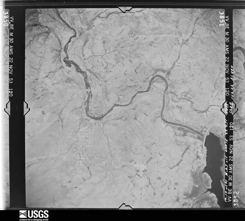
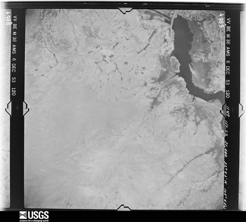
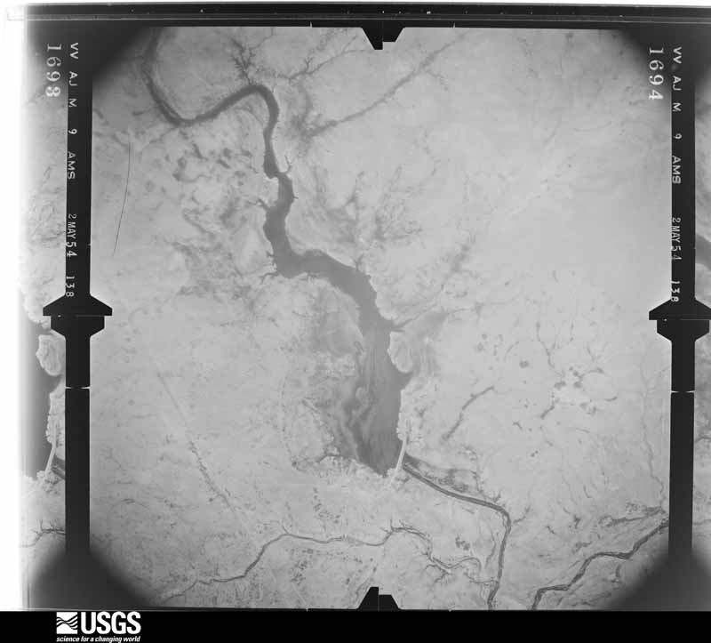
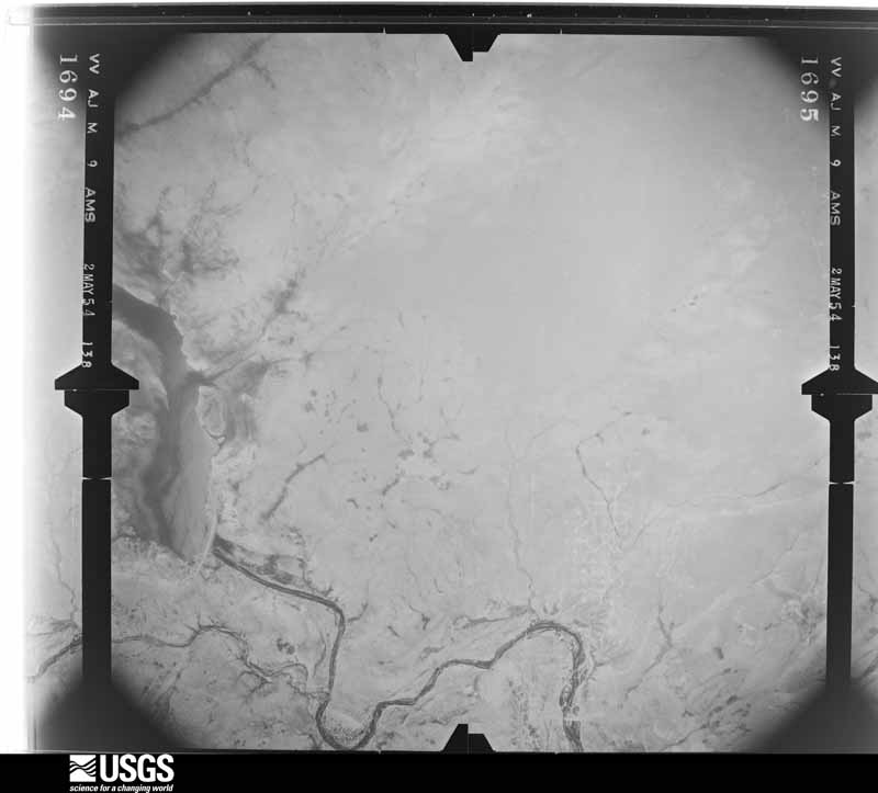
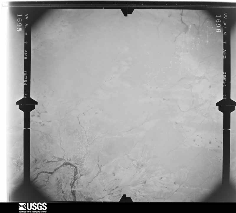
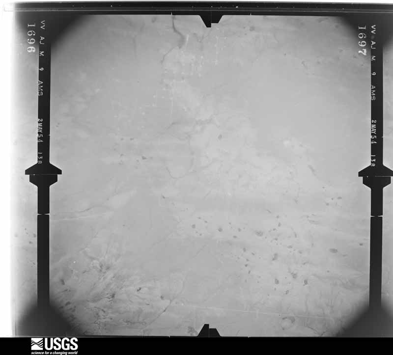
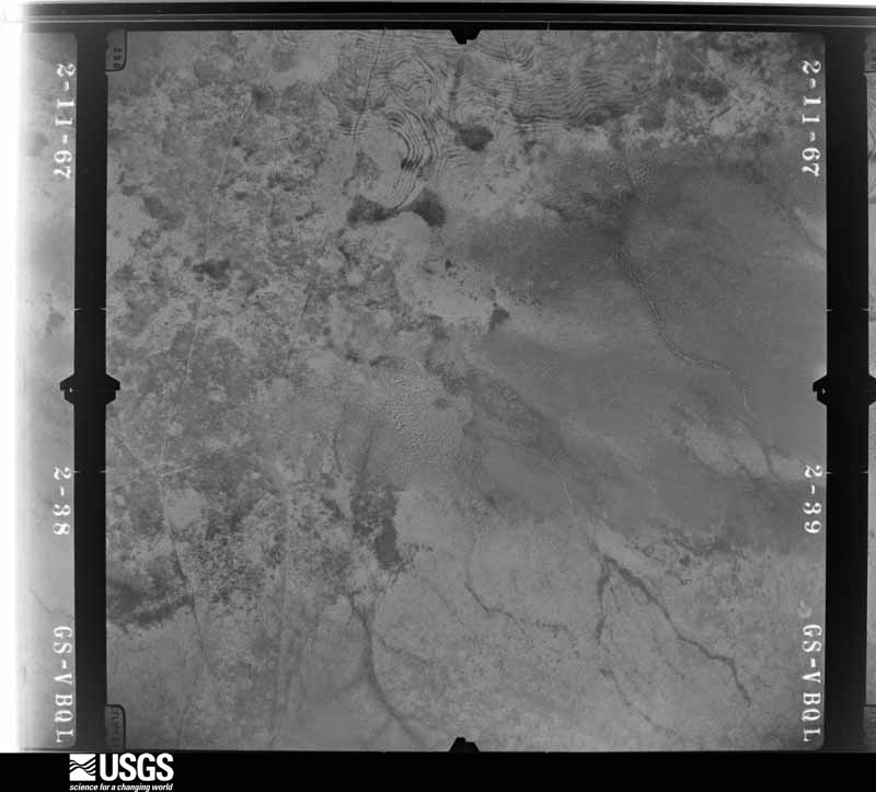
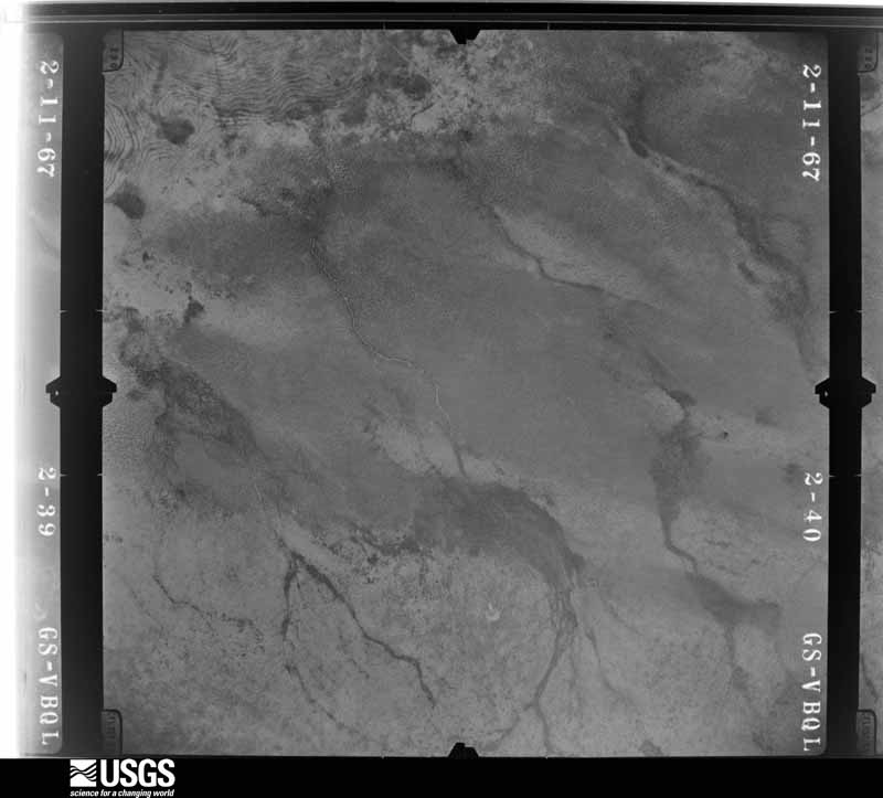
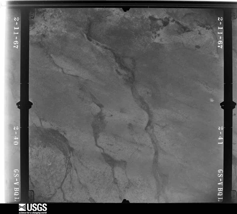
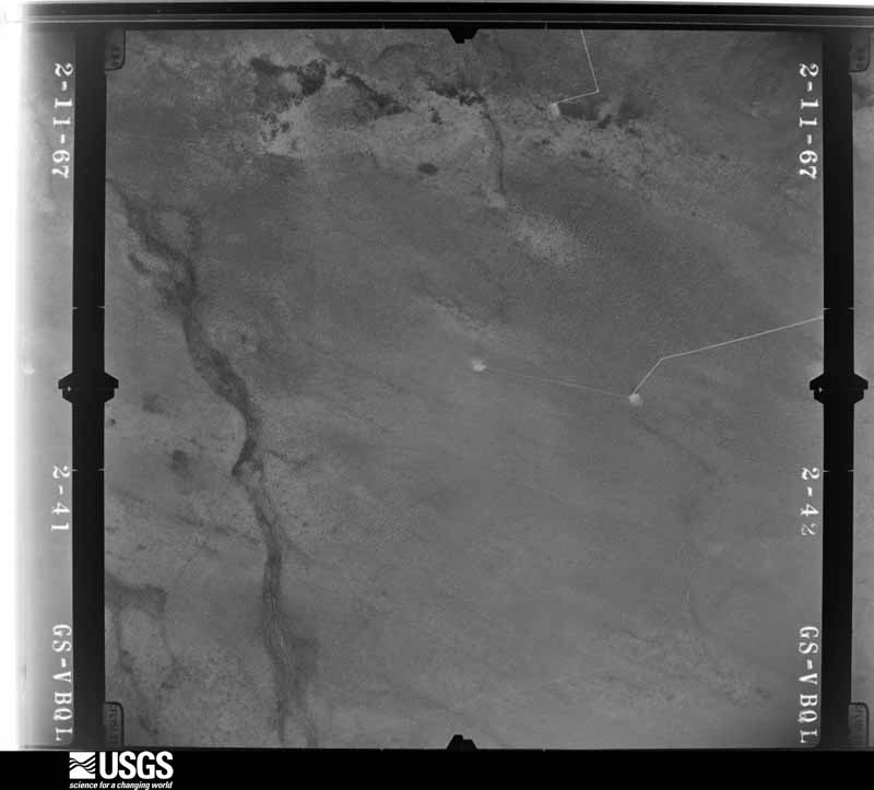
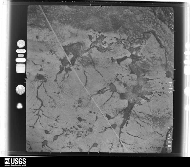
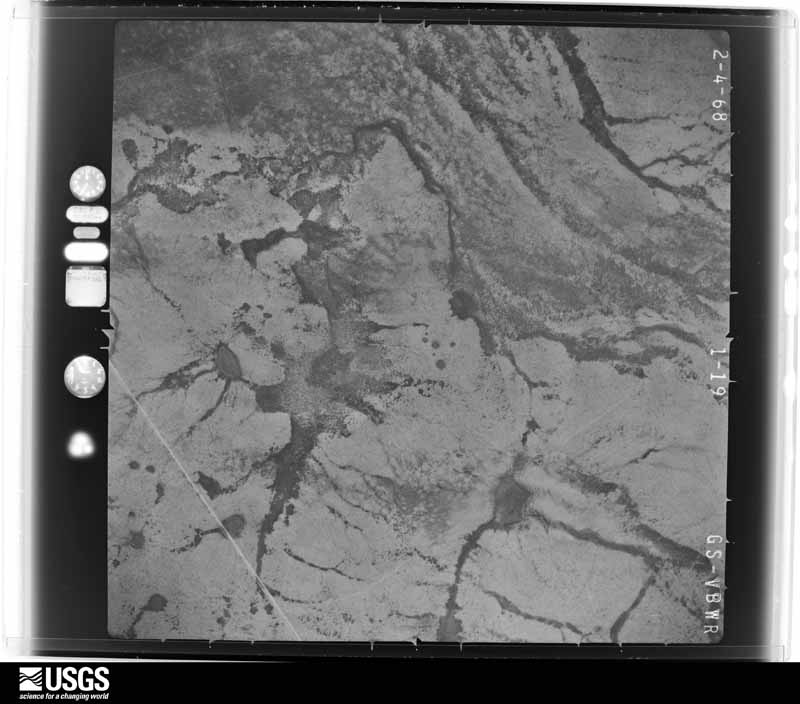
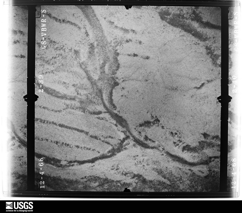
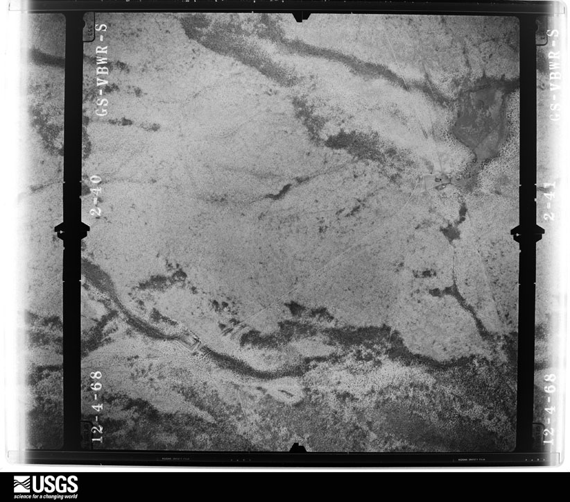
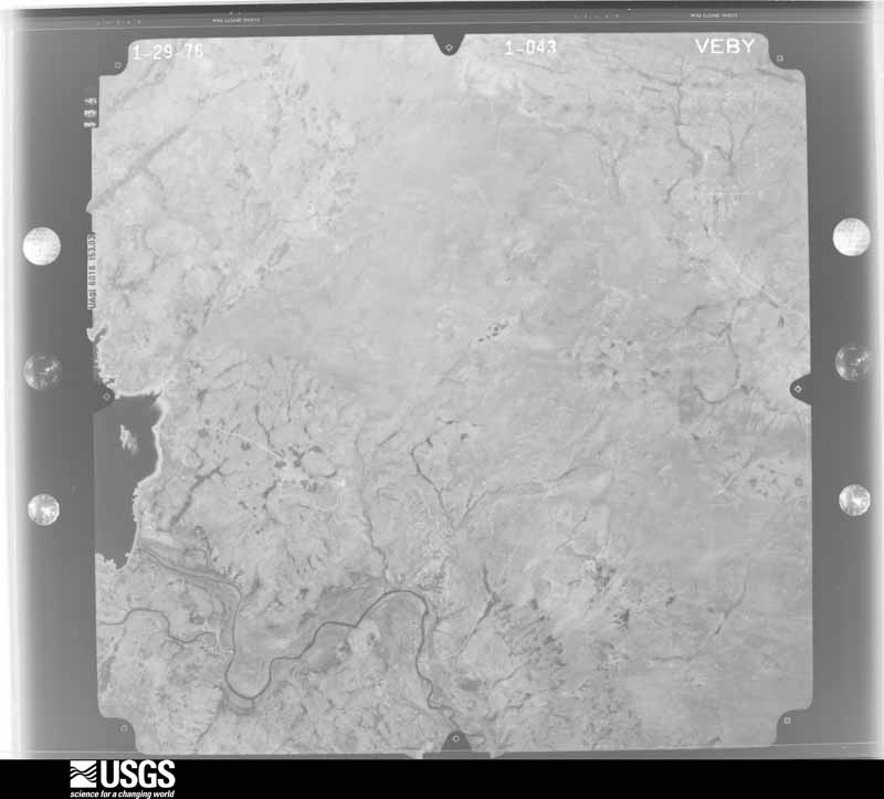
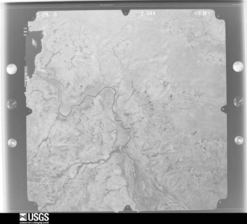
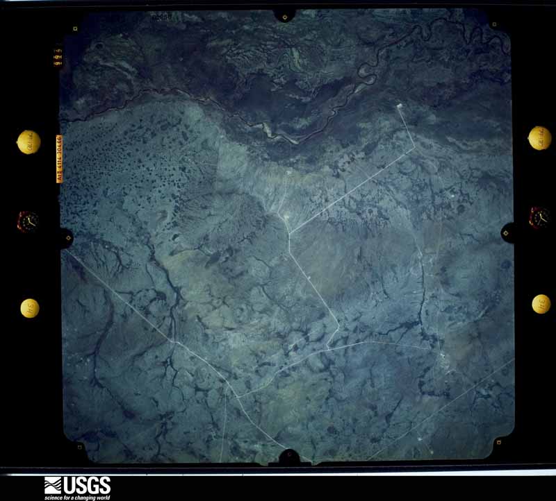
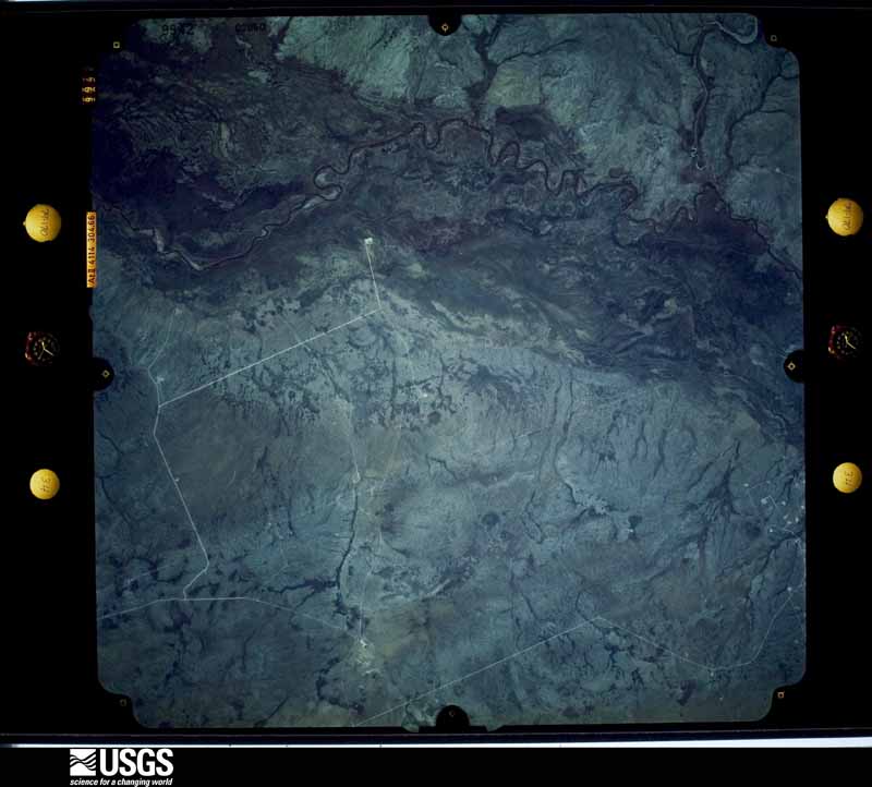
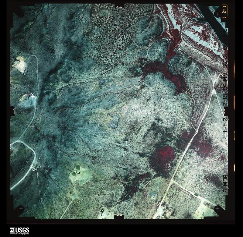
Flown by the U.S. Geological Survey between 1937 and 1989, the Aerial Photo Single Frames collection is the definitive mid-century view of the land: fields, roads and rivers as the camera saw them. The Survey holds 797 frames inside the rectangle that bounds this county; the 28 frames below were taken over the county itself, chosen across the decades of flights (at most four a year from that rectangle), so one flight cannot crowd out the rest. The full set is free to browse and download at EarthExplorer under the dataset Aerial Photo Single Frames.
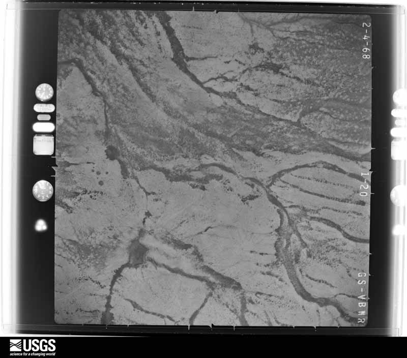
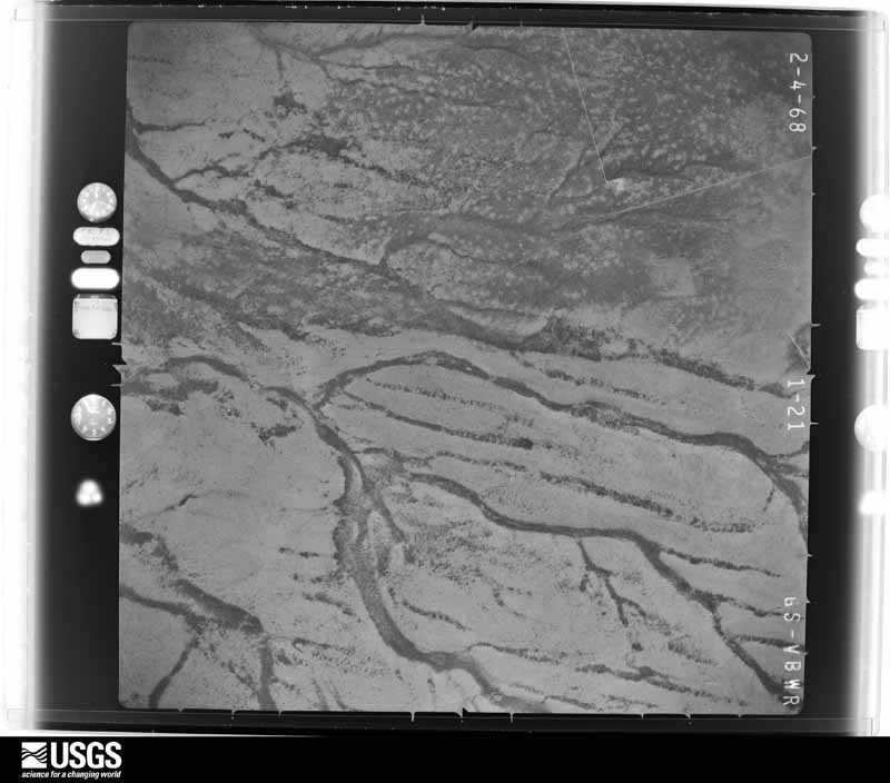
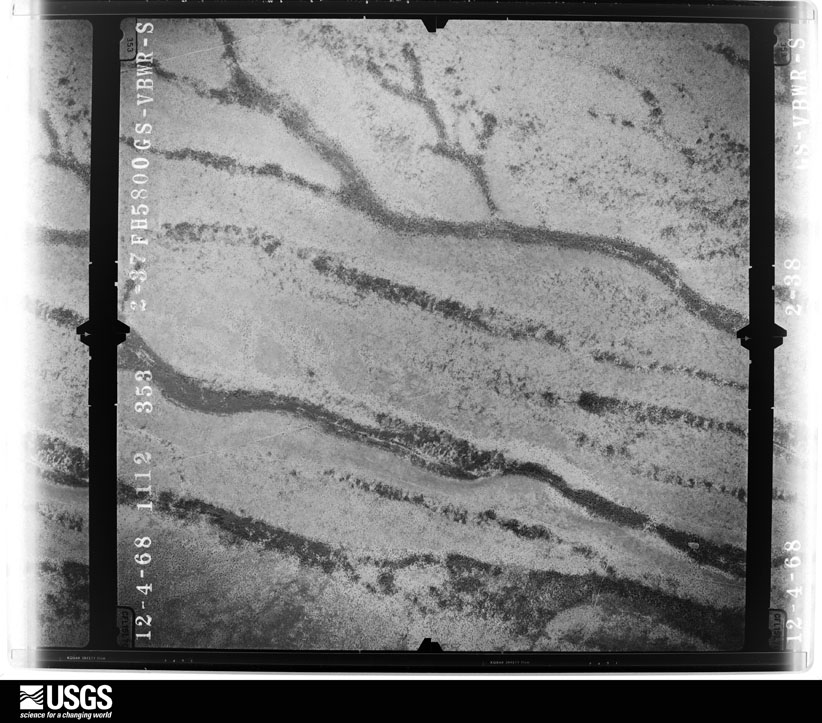
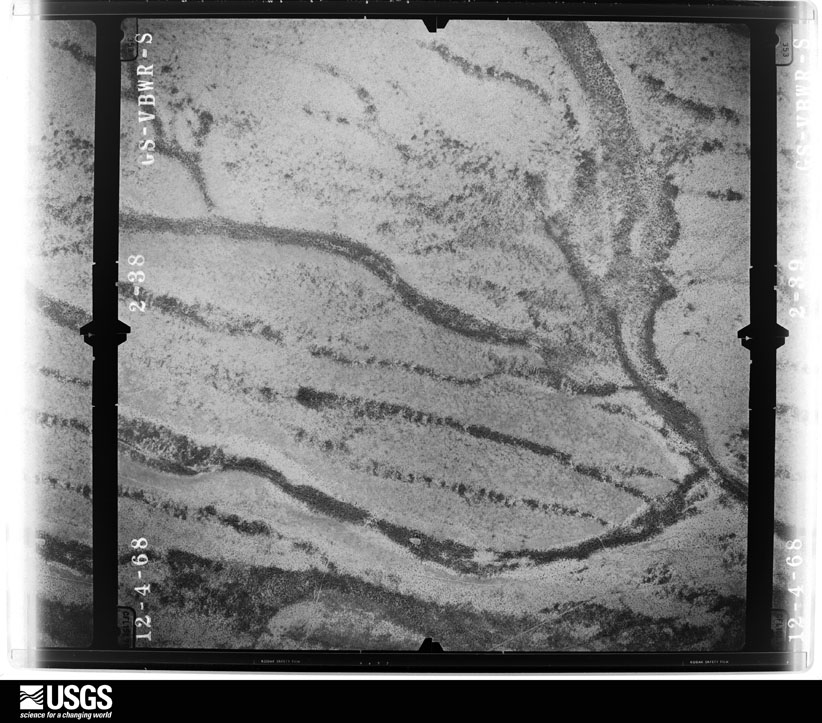

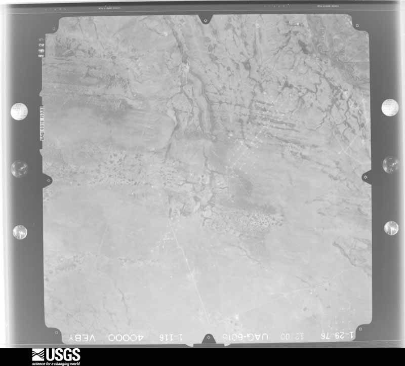
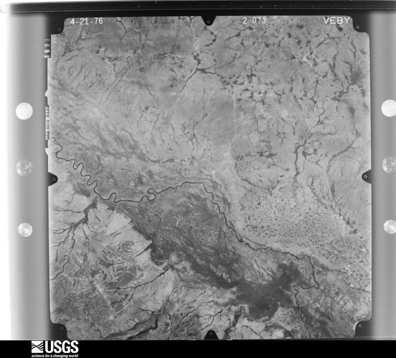
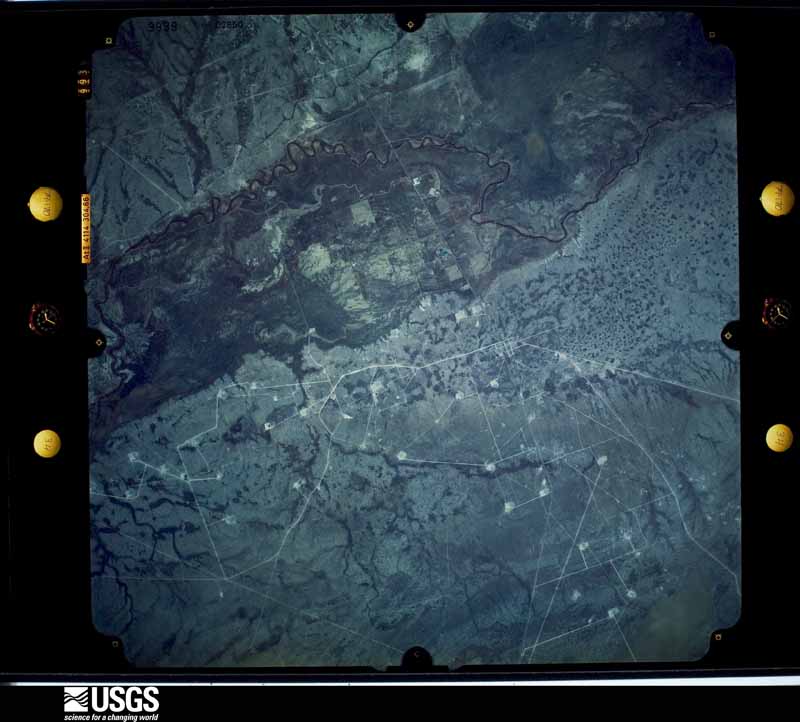
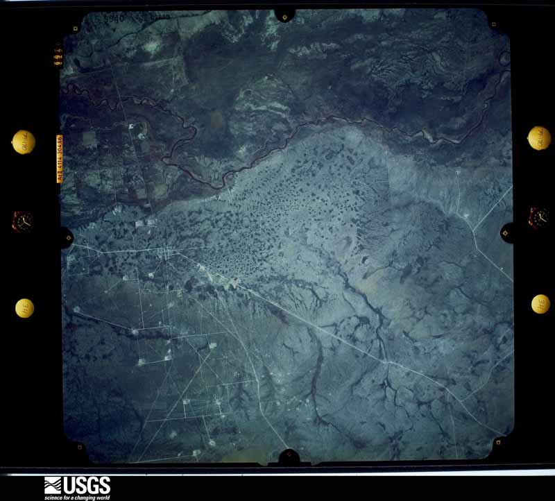
The thermometers that kept this county's weather, as the federal records hold them. The extremes below are measured values from those records, not estimates.
Who lived here in 1950, one enumeration district at a time, as the Census Bureau described each district. Each row opens its official National Archives result, with Population Schedules and ED Maps available there.
Every wildfire the federal occurrence database records inside this county: 15 of them, burning about 10,673 acres. 1 started naturally and 1 was recorded as arson. Each settlement page carries the fires within five miles of it.
| Reported cause | Fires |
|---|---|
| Equipment and vehicle use | 6 |
| Missing data/not specified/undetermined | 4 |
| Power generation/transmission/distribution | 3 |
| Natural | 1 |
| Arson/incendiarism | 1 |
The five largest, by the area the report gives. One of them was set deliberately.
| Date | Cause | Size | Reported by | Name on the report |
|---|---|---|---|---|
| 6 May 2011 | Missing data/not specified/undetermined | 10,000 acres | Texas A & M Forest Service | LOVING #1 |
| 10 May 2011 | Equipment and vehicle use | 600 acres | Texas A & M Forest Service | J E HALEY |
| 19 July 2020 | Power generation/transmission/distribution | 20 acres | Texas A & M Forest Service | GRASSFIRE#15 |
| 26 April 2011 | Equipment and vehicle use | 15 acres | Texas A & M Forest Service | MENTONE MUTUAL AID |
| 15 August 2020 | Natural | 10 acres | Texas A & M Forest Service | GRASSFIRE#17 |
| 4 April 2011 | Arson/incendiarism | 10 acres | Texas A & M Forest Service | ANADARKO #1 |
| 19 June 2010 | Equipment and vehicle use | 5.0 acres | Texas A & M Forest Service | ANADARKO |
| 19 June 2010 | Equipment and vehicle use | 5.0 acres | Texas A & M Forest Service | PURPLE CG |
Every settlement page carries the fires within five miles of it - see the settlement index below.
The NOAA Storm Events Database holds 80 reports for this county, causing no deaths, 4 injuries and about $1,027,800 in recorded property damage. Each settlement page carries the reports that name it.
| Kind of event | Reports |
|---|---|
| Hail | 48 |
| Thunderstorm Wind | 13 |
| Flash Flood | 12 |
| Tornado | 7 |
The most serious of them, by death, then injury, then recorded damage. The accounts are quoted exactly as the forecast office filed them.
| When | Event | Place named | Harm | What the report says |
|---|---|---|---|---|
| May 2005 | Thunderstorm Wind | Mentone | 3 hurt, $500,000 | Destructive winds estimated to be 80 mph affected portions of Loving County. Twenty-six power poles were blown down along a five mile stretch of Highway 302 west of the Loving and Winkler County line. This resulted in widespread power outages. Three oil field workers were injured when their trailers were destroyed by the winds. |
| June 1985 | Thunderstorm Wind | not stated | 1 hurt | no account filed |
| June 2021 | Thunderstorm Wind | Mentone | $480,000 | A thunderstorm moved across Loving County and produced wind damage. There were 30 power poles that were broken and blown down seven miles north of Mentone. The cost of damage is a very rough estimate. |
| April 1999 | Tornado (F2) | Mentone | $20,000 | The Reeves County tornado crossed the Pecos River and headed north across open country. Soon after it crossed the river, the tornado hit some oil field supplies and caused some damage. The only oil pumpjack in the path was overturned. Engineers at a pumpjack manufacturer estimated winds in the range of 110-130 mph to knock over this large piece of equipment. Vegetation mainly consisted of brush less than 4 feet tall with disturbances ranging from snapped or flattened to bent more than 45 degrees. The small foliage on these plants was generally still present, but wind-torn. |
| July 2003 | Thunderstorm Wind | Mentone | $12,000 | A thunderstorm in Claudette's outer convective band resulted in damaging winds near Mentone. A porch was blown off of a mobile home, and a power pole was blown down. |
| June 2005 | Thunderstorm Wind | Mentone | $5,000 | Severe thunderstorm winds blew the roof off of a large barn northeast of Mentone. |
| August 2004 | Thunderstorm Wind | Red Bluff Res | $5,000 | A rural resident of northwestern Loving County reported severe thunderstorm winds that broke large tree limbs and displaced large appliances, including a retired clothes dryer, that were stored outside. |
| September 2014 | Flash Flood | Mentone | $2,000 | Heavy rain moved across Loving County and produced flash flooding in Mentone. Eight to ten men were stranded on oil field equipment due to high water in town. The cost of damage is a very rough estimate. |
| October 1997 | Thunderstorm Wind | Mentone | $2,000 | Downbursting winds knocked down two utility poles in Mentone. |
| September 2014 | Flash Flood | Mentone | $1,000 | Heavy rain fell across Loving County and produced flash flooding in Mentone and along the Pecos River. State Highway 302 was reported to be closed in Loving County. The Pecos River was reported to be flooded 16 inches deep over State Highway 302 a half a mile on either side of the river near Mentone. The cost of damage is a very rough estimate. |
| September 2014 | Flash Flood | Mentone | $500 | Heavy rain fell across Loving County and produced flash flooding near Mentone. There was water flowing eight inches over State Highway 302. The cost of damage is a very rough estimate. |
| September 2014 | Flash Flood | Mentone | $300 | Heavy rain fell across Loving County and produced flash flooding. An oil tanker was reported to be stranded on Farm to Market Road 300. The cost of damage is a very rough estimate. |
| April 2025 | Hail | Mentone | - | Quarter-sized hail reported on State Highway 302 per spotter network. Time is estimated from radar. |
| June 2025 | Hail | Mentone | - | Quarter-size hail was reported by the public in rural Loving County. The time of occurrence is estimated from radar. |
| May 2024 | Hail | Mentone | - | Lots of hail on the ground, and some may be larger. Picture from public Facebook photo. |
| July 2023 | Hail | Mentone | - | A trained spotter observed quarter to half dollar size hail in Mentone. |
| October 2023 | Hail | Red Bluff Res | - | Hail was observed at the Tornado Gas Plant. |
| March 2020 | Tornado (EFU) | Mentone | - | A thunderstorm in Reeves County produced a tornado about eight miles west of Mentone. A National Weather Service survey team was unable to locate damage directly caused by the tornado due to poor road networks. Photos provided by the public and emergency management suggested that the tornado was significant, however due to a lack of damage indicators, the survey team was unable to determine a path and intensity. Thus, the tornado was rated an EF-U. It was estimated that the tornado traveled roughly 12 miles before lifting from storm spotter reports and radar signatures. The tornado started in Reeves County and moved east into Loving County. It lifted before reaching Highway 302 and moved just north of Mentone. |
| April 2012 | Hail | Mentone | - | A storm moved over Loving County and produced three to four inch hail six miles east of Orla. Wind gusts were up to 70 to 75 mph. |
| April 2012 | Hail | Mentone | - | A thunderstorm moved over Loving County and produced four inch hail and wind gusts of 70 to 80 mph two miles west of Mentone. |
| August 2009 | Thunderstorm Wind | Mentone | - | No damage was reported. |
| October 2008 | Flash Flood | Red Bluff Res | - | Local law enforcement reported flooding near Red Bluff Lake on private roads. Water flowing over the roadways was up to a foot deep. |
| March 2007 | Hail | Mentone | - | Marble to golfball size hail fell northwest of Mentone. |
| June 2007 | Tornado (EF0) | Mentone | - | A tornado formed over open country north of Mentone. No damage occurred. |
| March 2005 | Hail | Mentone | - | At 18:53 CST, the Loving County Emergency Manager reported half dollar size hail in Mentone. The swath of large hail and its parent severe thunderstorm continued east across southern Loving County. By 19:30 CST, local officials reported penny size hail that covered Interstate 20 fifteen miles east-northeast of Mentone. The accumulating hail resulted in slick driving conditions along the interstate. |
| June 2005 | Hail | Red Bluff Res | - | Golfball size hail was reported at Red Bluff Dam on the Reeves and Loving County line. |
| June 2005 | Hail | Mentone | - | A rancher in northern Loving County reported very large hail ranging in size from golfballs to tennis balls along Farm to Market Road 652. |
| June 2005 | Hail | Mentone | - | A left-moving supercell produced large hail along a swath from Mentone to near the Texas and New Mexico border in northern Loving County. Initial reports indicated penny size hail in Mentone and just east of the city along Texas Highway 302. A rancher reported golfball size hail fell in rural areas of the county before the storm moved over the state line. No damage was reported. |
| August 2005 | Flash Flood | Mentone | - | A National Weather Service trained spotter reported water flowing over portions of Farm to Market Road 652 in northern Loving County. The public also reported high water threatening homes on the Loving County, Texas/Lea County, New Mexico county line. |
| June 2005 | Hail | Mentone | - | Penny size hail was reported by the public along Farm to Market Road 652 north of Mentone. |
| June 2005 | Hail | Mentone | - | The public reported nickel size hail just east of Red Bluff Lake. |
| September 2004 | Flash Flood | Mentone | - | Several public reports indicated flash flooding across western Loving County. At 11:00 CST, at least one foot of water was reported flowing over Farm to Market Road 652 in the northwestern parts of the county. Additional flooding was reported at 11:45 CST along County Road 300 one mile north of Mentone, where flowing water up to one foot deep crossed the road. |
| October 2004 | Hail | Mentone | - | A storm spotter in Mentone reported penny to nickel size hail. |
| October 2004 | Hail | Mentone | - | A storm spotter reported pea to penny size hail northwest of Mentone. |
| June 2003 | Hail | Red Bluff Res | - | An isolated and long lived low precipitation supercell moved south across the New Mexico state line and into West Texas. An NWS COOP observer reported golfball size hail near Red Bluff Lake on the Reeves/Loving County line. |
| June 2000 | Flash Flood | Mentone | - | The general public reported water over the road on State Highway 302 east of Mentone. |
| April 1999 | Flash Flood | West Portion | - | Flash flooding occurred on FM 652. Part of a fence was washed onto the road. |
| May 1999 | Tornado (F0) | Mentone | - | Brief tornado in open country north of Mentone. |
| May 1999 | Hail | Mentone | - | Vegetation stripped along State Highway 302. |
| April 1999 | Hail | Red Bluff Res | - | Hail fell on the New Mexico state line. |
| July 1999 | Flash Flood | Central Portion | - | Minor flooding was reported along State Highway 302 east of Mentone. |
| May 1995 | Tornado (F0) | not stated | - | Reported by Reeves County Sheriff's Office as they assisted in spotting for rural Loving County. |
| April 1993 | Hail | Orla | - | The public reported dime-size hail in western Loving County. No damage resulted. |
| October 2023 | Thunderstorm Wind | Red Bluff Res | - | no account filed |
| May 2023 | Thunderstorm Wind | Red Bluff Res | - | no account filed |
| May 2021 | Hail | Red Bluff Res | - | no account filed |
| May 2021 | Hail | Mentone | - | no account filed |
| May 2021 | Hail | Mentone | - | no account filed |
| March 2019 | Hail | Mentone | - | no account filed |
| June 2019 | Hail | Mentone | - | no account filed |
| June 2019 | Hail | Mentone | - | no account filed |
| May 2018 | Hail | Mentone | - | no account filed |
| April 2015 | Hail | Mentone | - | no account filed |
| May 2015 | Hail | Mentone | - | no account filed |
| October 2015 | Hail | Mentone | - | no account filed |
| June 2014 | Hail | Mentone | - | no account filed |
| June 2013 | Hail | Mentone | - | no account filed |
| May 2010 | Hail | Mentone | - | no account filed |
| May 2010 | Hail | Red Bluff Res | - | no account filed |
| July 2009 | Flash Flood | Mentone | - | no account filed |
Named settlements recorded in the Geographic Names Information System, each with the topographic sheets covering it. Villages, hamlets and abandoned places alike. Each is shown with the nearest named watercourse or landform and the survey quadrangle it falls on.