 Block
BlockFrom the record
1 National Register listing published here.
Sources: the National Register database, National Park Service
38 topographic sheets cover 16 settlements here, and 1 property is on the National Register of Historic Places.
1 National Register listing published here.
Sources: the National Register database, National Park Service
Every property in this county listed on the National Register of Historic Places, with the year it was listed and the federal nomination document.
| Photograph | Property | Type | Listed | Reference |
|---|---|---|---|---|
 | Shapira Hotel | building | 1980 | 80004140 |
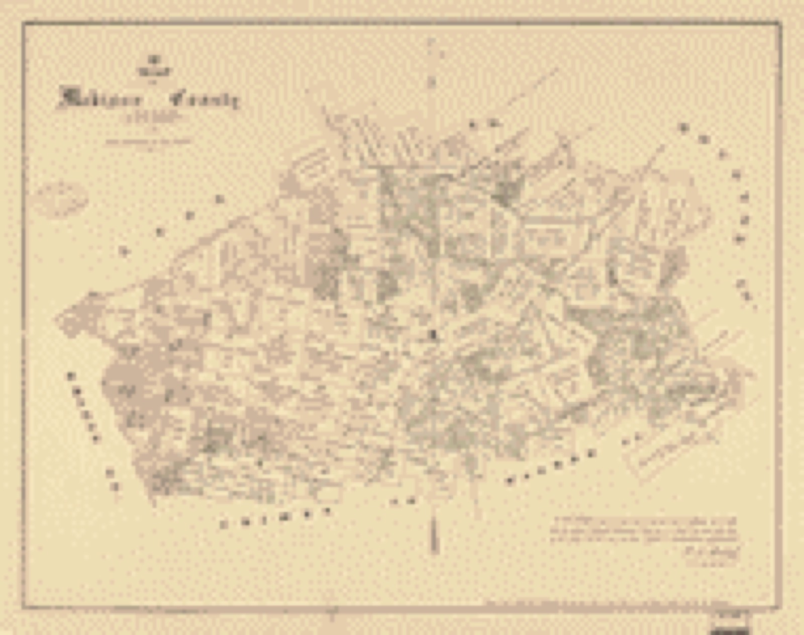
Drawn when these were printed as single large sheets: the town seen from the air, and the county divided into its farms with every owner named. Each opens the original at the Library of Congress.
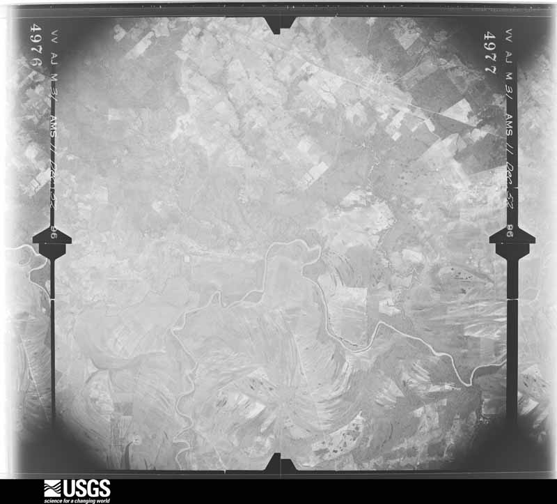
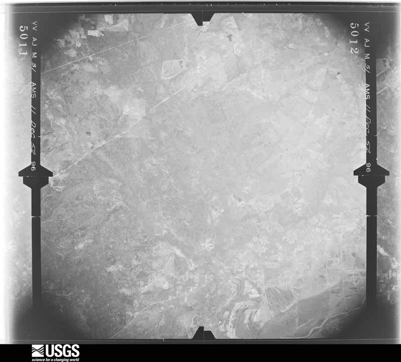
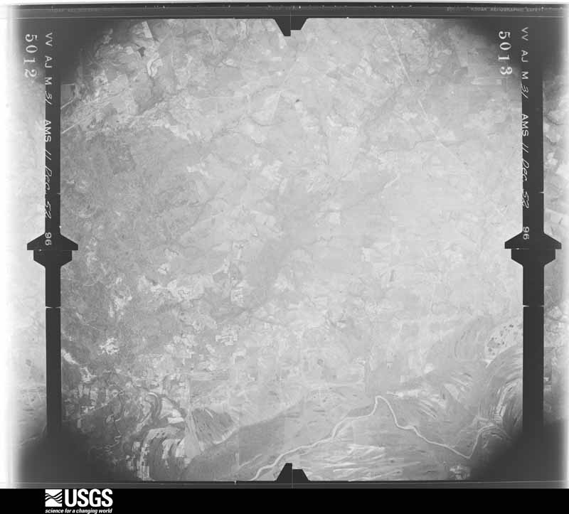
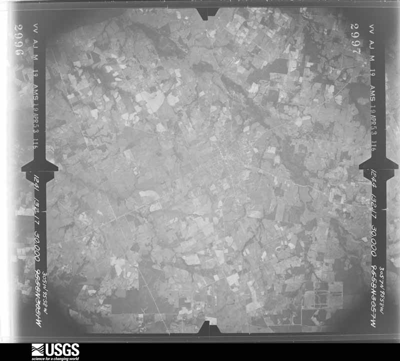
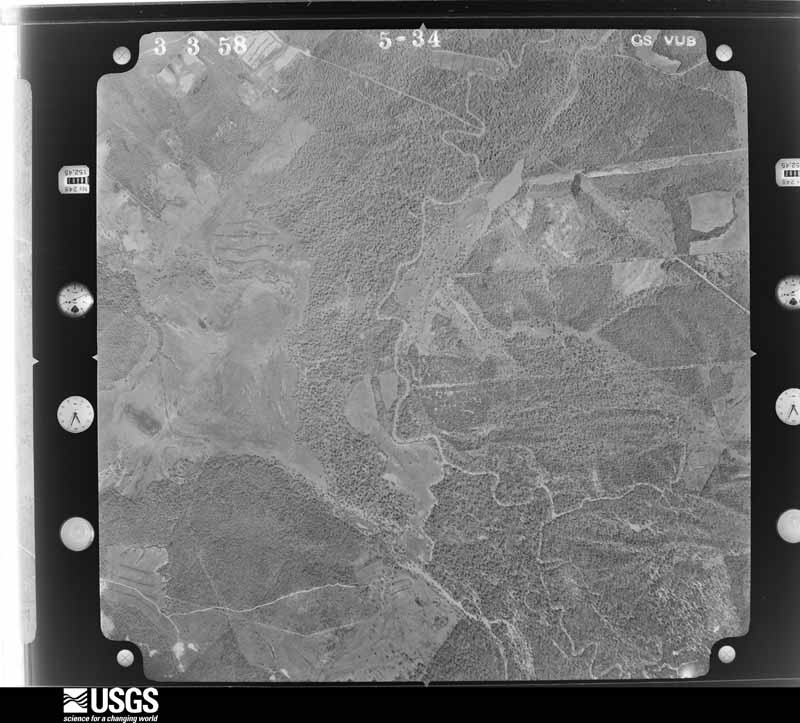
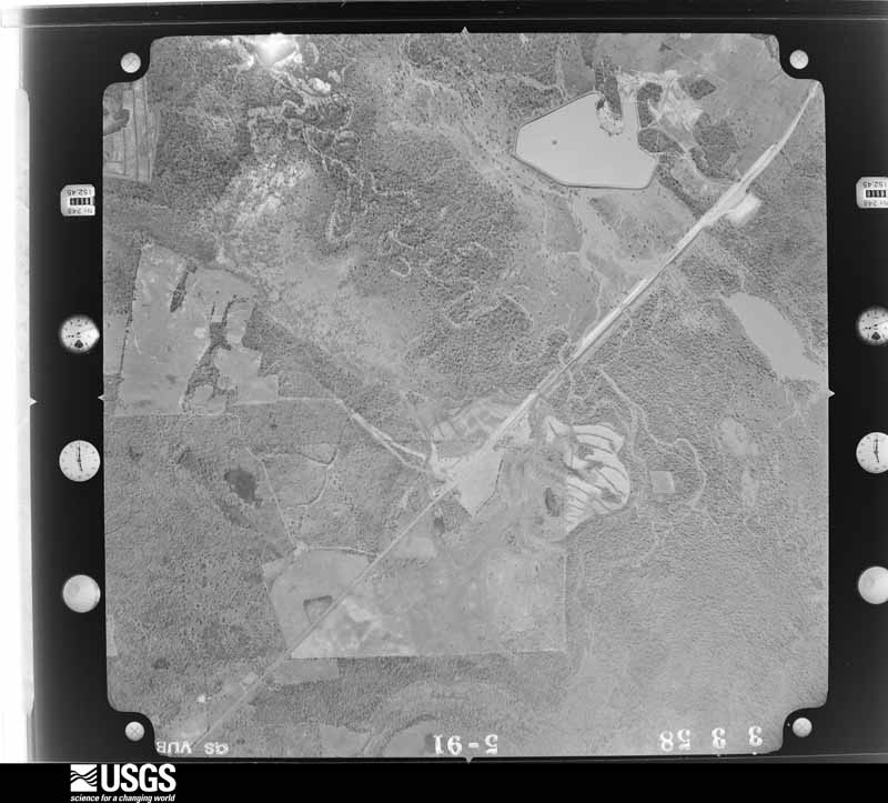
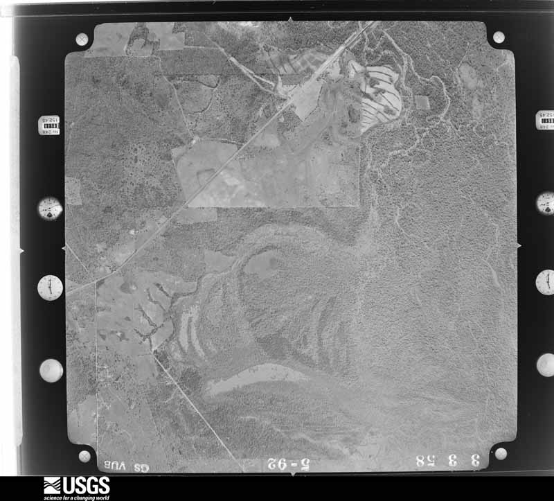
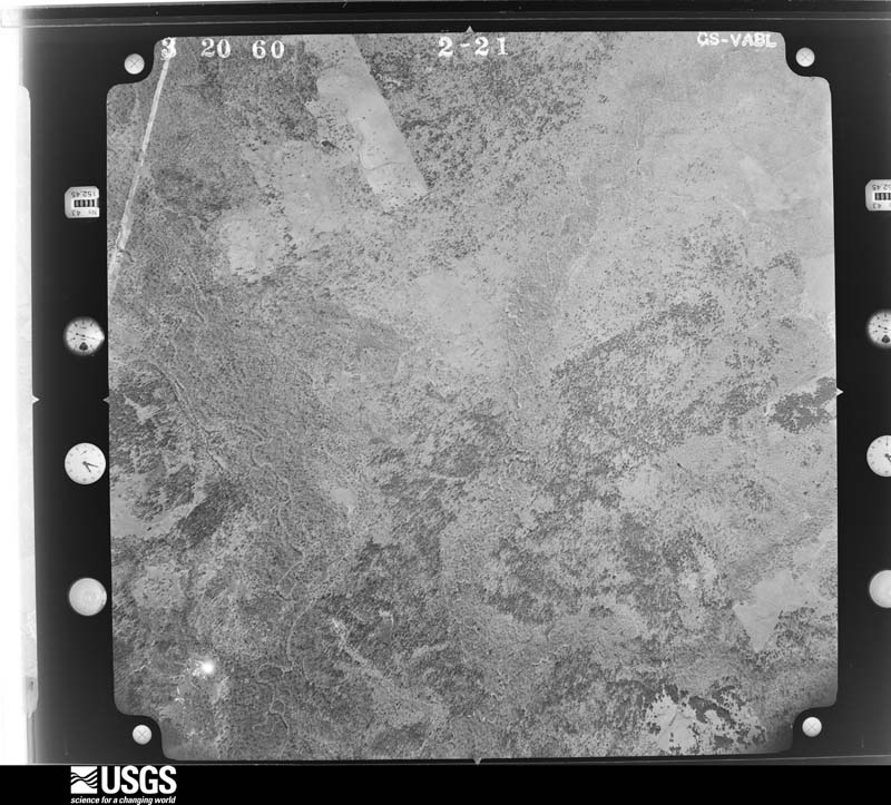
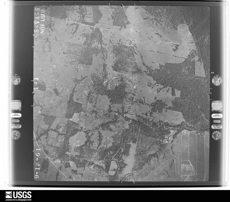
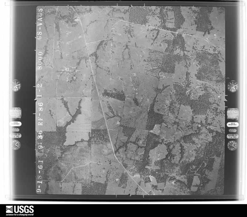
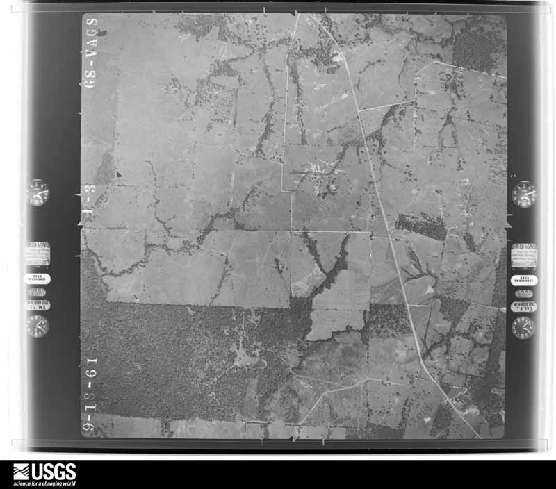
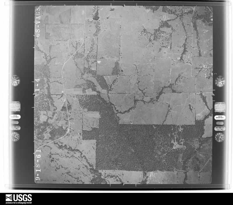
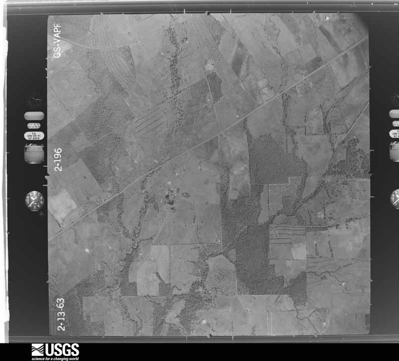
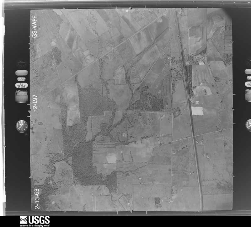
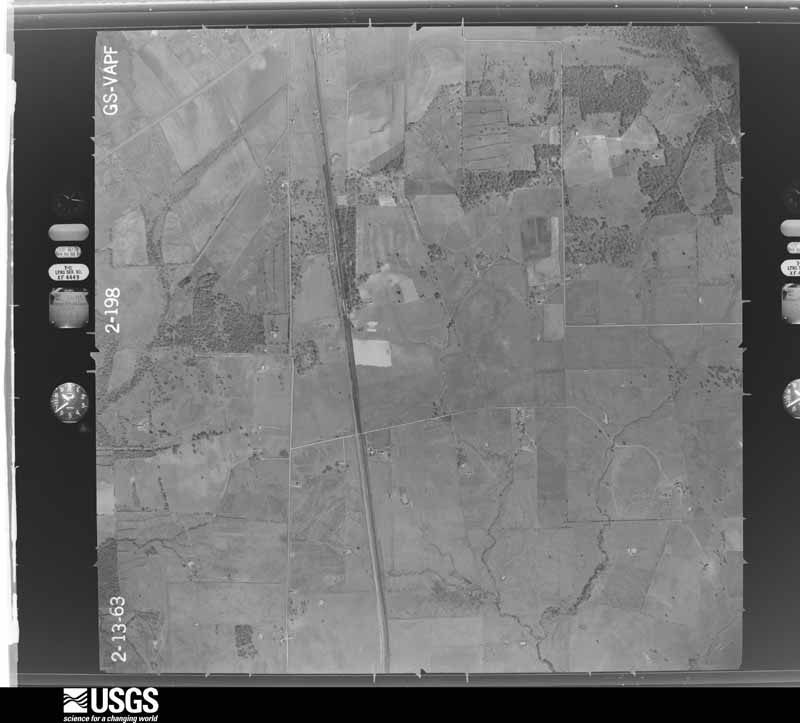
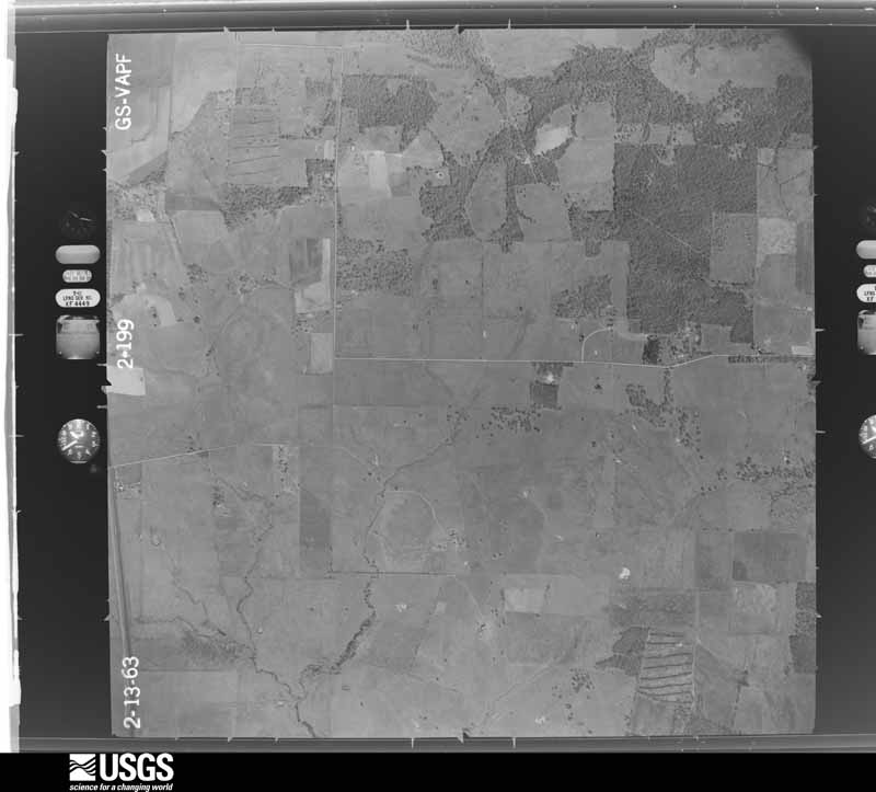
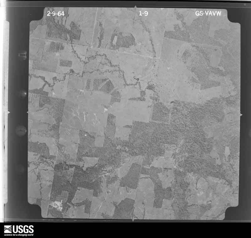
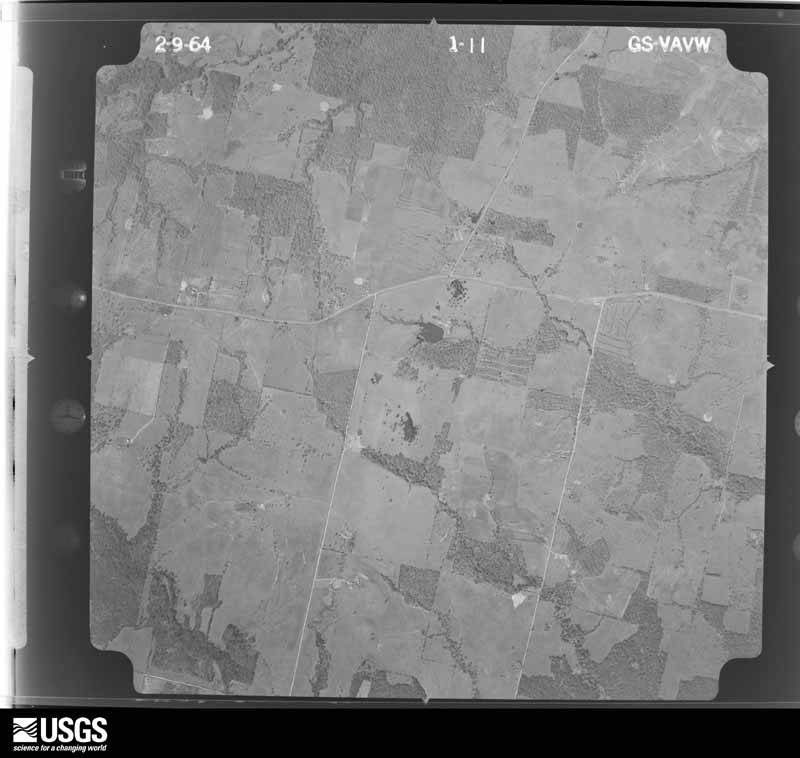
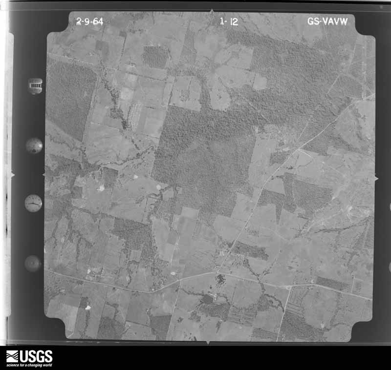
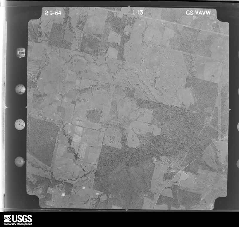
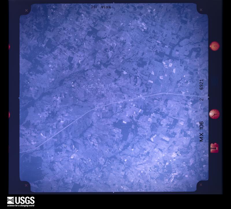
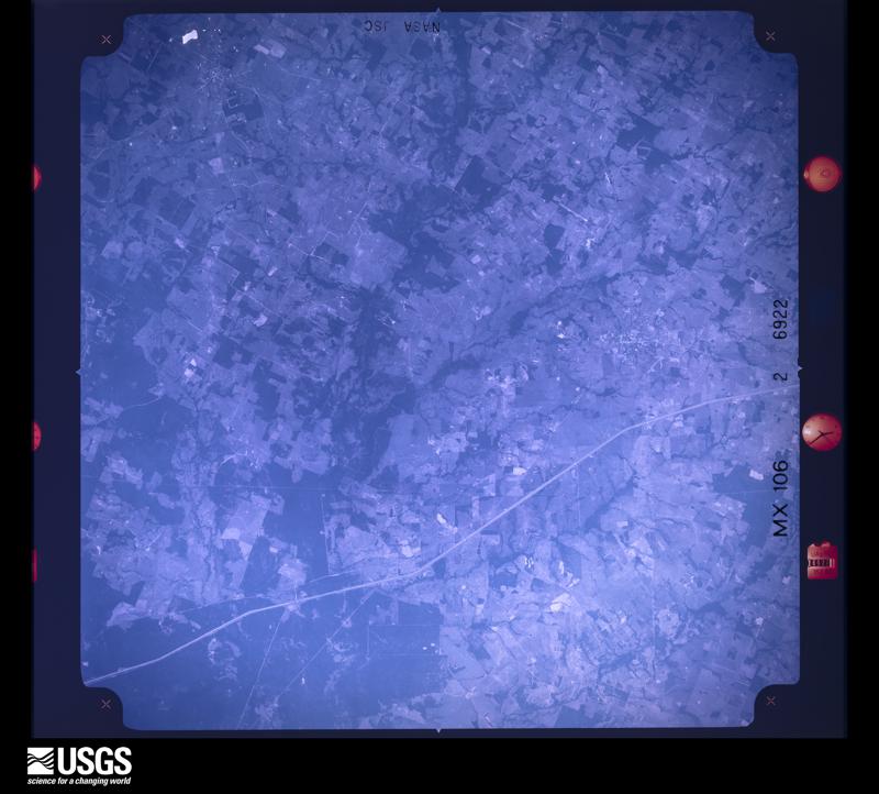
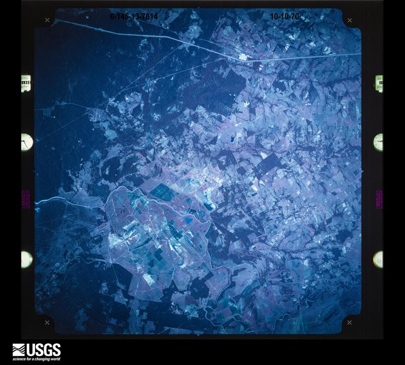
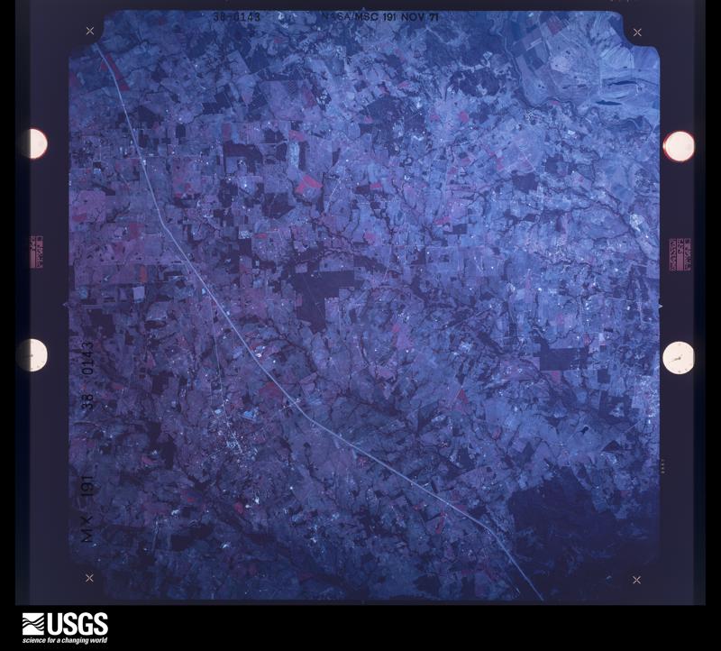
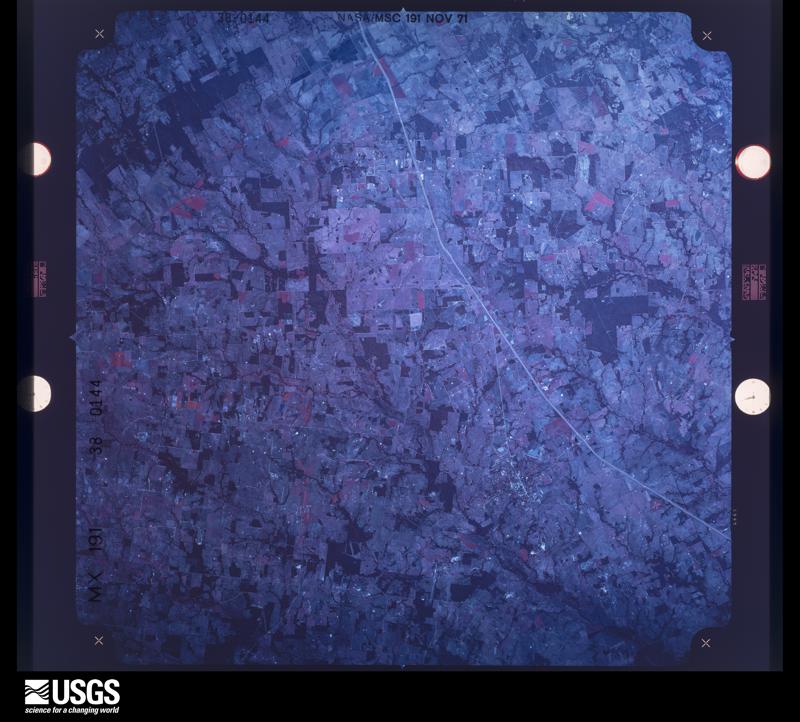
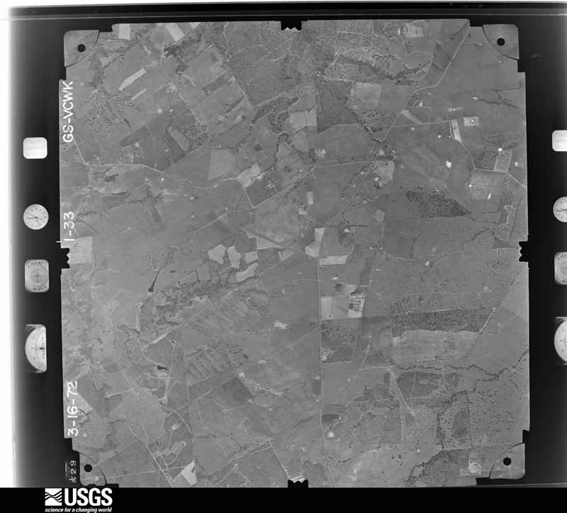
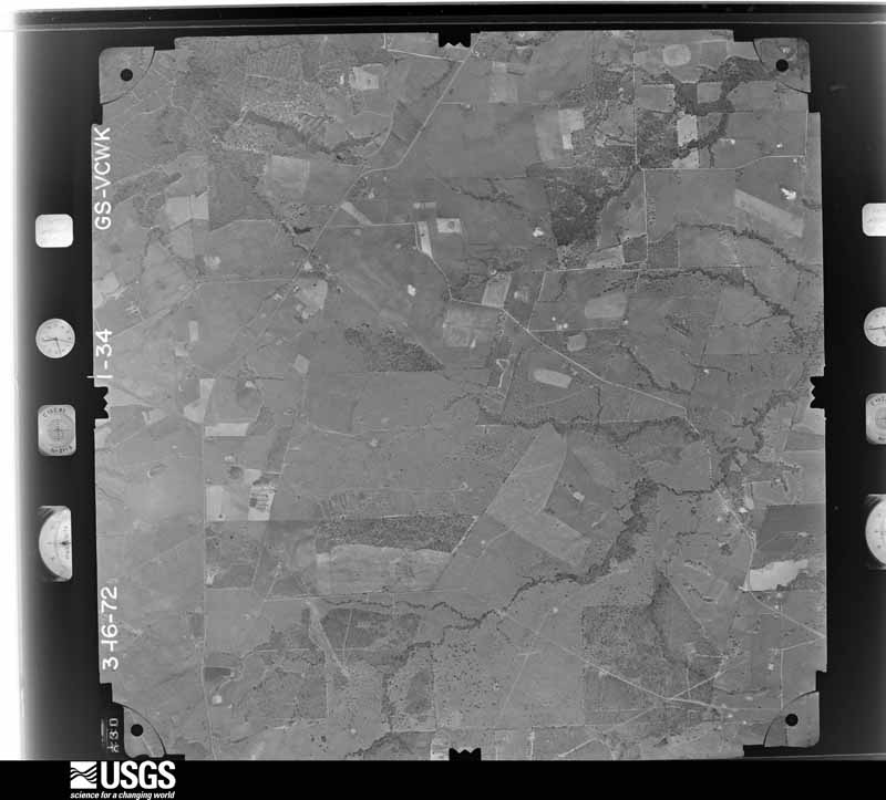
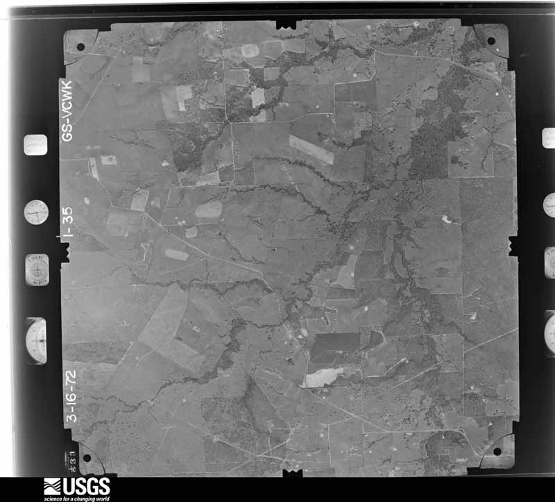
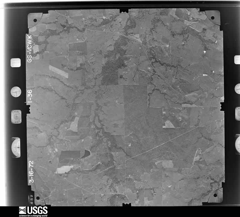
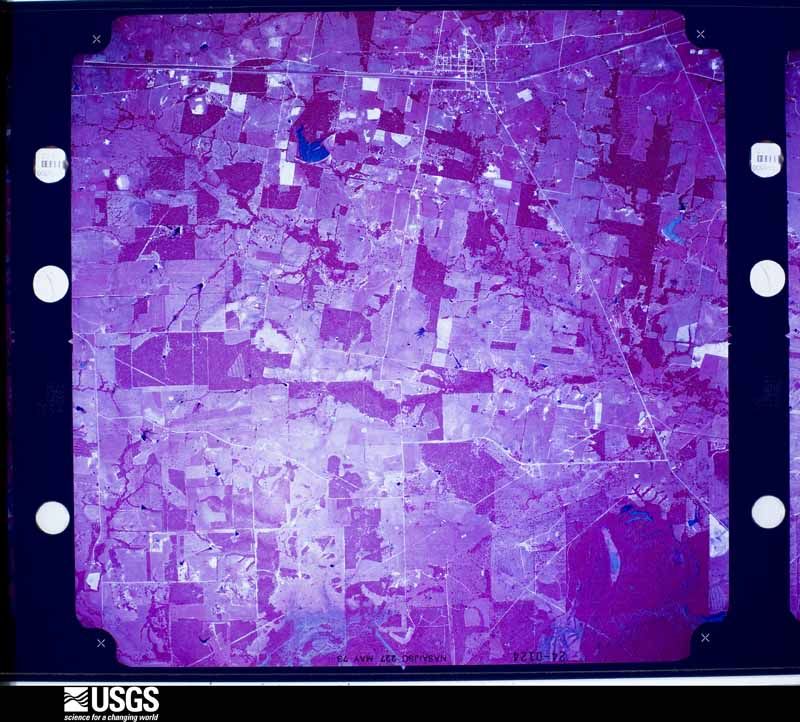
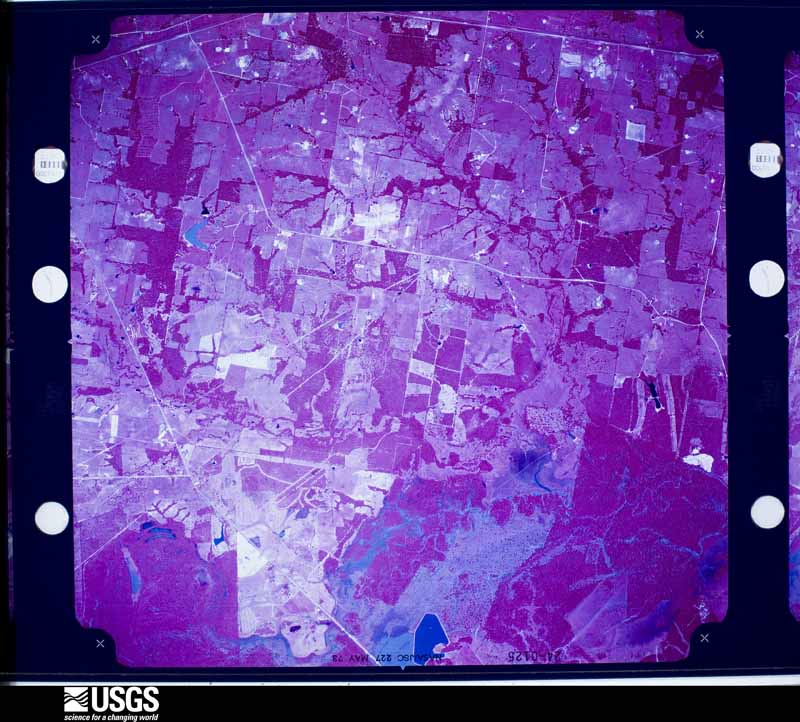
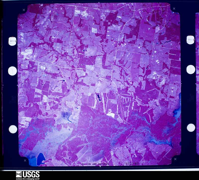
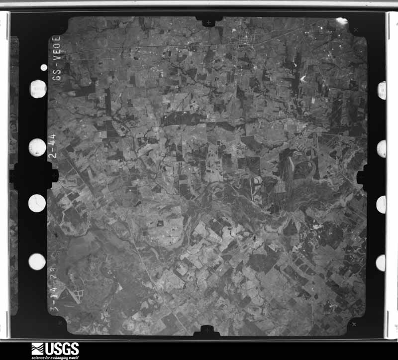
Flown by the U.S. Geological Survey between 1937 and 1989, the Aerial Photo Single Frames collection is the definitive mid-century view of the land: fields, roads and rivers as the camera saw them. The Survey holds 1,122 frames inside the rectangle that bounds this county; the 48 frames below were taken over the county itself, chosen across the decades of flights (at most four a year from that rectangle), so one flight cannot crowd out the rest. The full set is free to browse and download at EarthExplorer under the dataset Aerial Photo Single Frames.
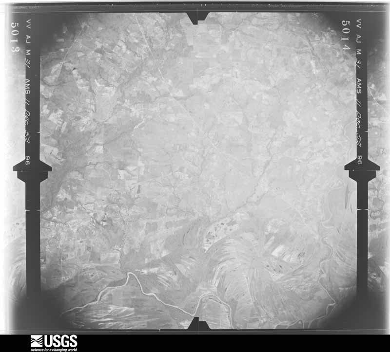
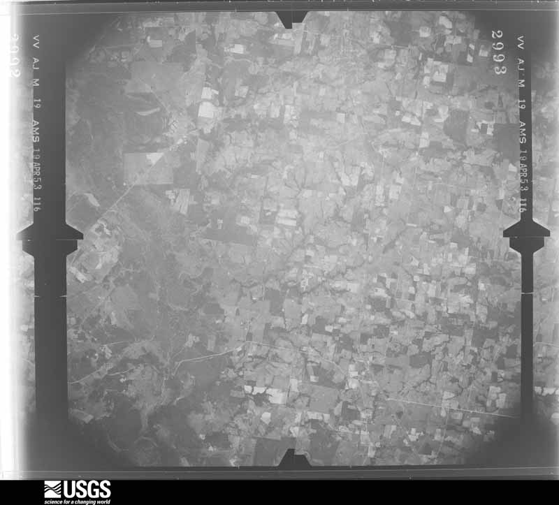
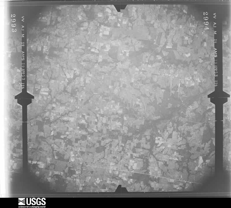
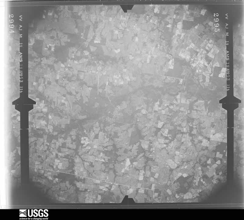
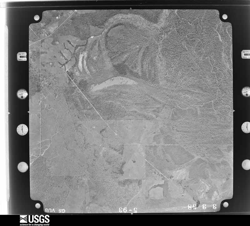
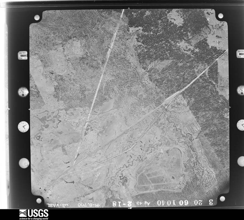
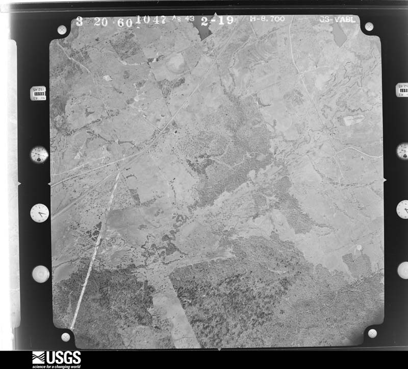
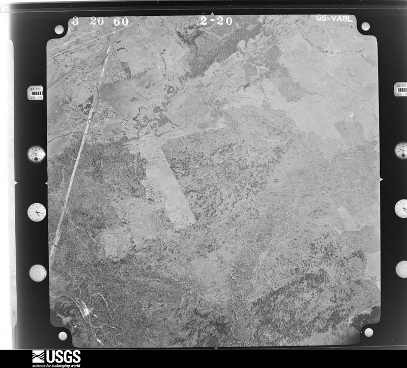







The thermometers that kept this county's weather, and the gages that measured the flow of its streams, as the federal records hold them. The extremes below are measured values from those records, not estimates.
Who lived here in 1950, one enumeration district at a time, as the Census Bureau described each district. Each row opens its official National Archives result, with Population Schedules and ED Maps available there.
Every wildfire the federal occurrence database records inside this county: 190 of them, burning about 2,415 acres. 7 started naturally and 6 were recorded as arson. Each settlement page carries the fires within five miles of it.
| Reported cause | Fires |
|---|---|
| Missing data/not specified/undetermined | 89 |
| Debris and open burning | 55 |
| Equipment and vehicle use | 17 |
| Recreation and ceremony | 7 |
| Smoking | 7 |
| Natural | 7 |
| Arson/incendiarism | 6 |
| Power generation/transmission/distribution | 2 |
The five largest, by the area the report gives. None of them was recorded as arson.
| Date | Cause | Size | Reported by | Name on the report |
|---|---|---|---|---|
| 9 June 2008 | Debris and open burning | 500 acres | Texas A & M Forest Service | BLACK OAK |
| 14 August 2009 | Equipment and vehicle use | 150 acres | Livingston Area | NORTH ZULCH COMPLEX |
| 7 January 2006 | Missing data/not specified/undetermined | 150 acres | Texas A & M Forest Service | CONROE - 16 |
| 18 January 2015 | Equipment and vehicle use | 99 acres | Texas A & M Forest Service | 4000 |
| 18 July 1998 | Natural | 95 acres | Texas A & M Forest Service | not named |
| 31 July 2015 | Debris and open burning | 90 acres | Texas A & M Forest Service | 4003 |
| 2 August 2013 | Missing data/not specified/undetermined | 75 acres | Texas A & M Forest Service | GRASS FIRE #19 |
| 5 July 2011 | Missing data/not specified/undetermined | 75 acres | Texas A & M Forest Service | RON JOHNS |
Every settlement page carries the fires within five miles of it - see the settlement index below.
The NOAA Storm Events Database holds 194 reports for this county, causing 3 deaths, 10 injuries and about $9,940,500 in recorded property damage. Each settlement page carries the reports that name it.
| Kind of event | Reports |
|---|---|
| Thunderstorm Wind | 86 |
| Hail | 55 |
| Flash Flood | 28 |
| Tornado | 17 |
| Lightning | 3 |
| Funnel Cloud | 3 |
| Flood | 2 |
The most serious of them, by death, then injury, then recorded damage. The accounts are quoted exactly as the forecast office filed them.
| When | Event | Place named | Harm | What the report says |
|---|---|---|---|---|
| November 1987 | Tornado (F2) | not stated | 3 killed, 2 hurt, $2,500,000 | no account filed |
| December 2006 | Tornado (F1) | North Zulch | 3 hurt, $750,000 | Tornado caused three injuries due to a large oak tree falling through a home at Fair Oaks Ranch on the Old Spanish Road. Significant damage to a chicken farm located east of Normangee which killed 15,000 chickens. Numerous trees down, several damaged roofs, and downed power lines along with a power support tower. The most significant damage was reported between Strawther Road and the Willowhold Community with many damaged roofs and downed trees. A horse ranch also received a large amount of damage in the community of Mecca. This tornado was a border-crosser and moved north into Leon County. |
| July 2009 | Thunderstorm Wind | Madisonville | 3 hurt, $500,000 | Severe thunderstorm winds tore the roofs off of several businesses and numerous other structures and residences suffered lesser damage. Emergency management officials reported 22 businesses and 22 homes sustained damage. |
| December 2002 | Tornado (F1) | Midway | 2 hurt, $55,000 | Tornado touched down near the Trinity River in eastern Madison County and overturned a mobile home. Two injuries were reported. Nearby buildings were also damaged by the tornado. |
| May 2024 | Flood | North Zulch | $3,500,000 | Flooding from numerous heavy rain events in April and early May led to significant damage. |
| March 2022 | Tornado (EF1) | Laceola | $1,000,000 | This EF1 tornado first touched down along Highway 190/21 just southwest of Madisonville and then tracked to the northeast through town. There was significant damage to several homes and a few businesses, including the brick facade of a building at the intersection of Collard Street and Highway 75. A few power poles were also snapped at this intersection. |
| January 1998 | Tornado (F0) | Madisonville | $250,000 | Tornado tore roof off Yellow Rose Cattle Company Restaurant at OSR & I-45. |
| May 2016 | Flash Flood | Midway | $100,000 | Numerous roads were flooded and impassable around Madisonville. SH 21 from Madisonville to FM 2548, Old Spanish Trail between I-45 and US 190, and US 190 from Madisonville to Bedias were all under water, impassable and therefore closed. |
| January 2012 | Thunderstorm Wind | Madisonville Muni Ar | $100,000 | Strong downburst winds destroyed at least two barns and blew metal sheeting 200 to 300 yards toward the northeast. A large tank was also knocked over. |
| November 2000 | Flash Flood | Countywide | $50,000 | Minor flooding in North Zulch and on SH 21. FM 978 to School Road closed. High water on Hwy. 90 and Grimes Count y line. |
| September 1995 | Thunderstorm Wind | not stated | $50,000 | Possible downburst one mile west of Madisonville at Highway 21 and FM 1452. Seven metal buildings destroyed and one roof damaged. |
| April 1994 | Tornado (F0) | not stated | $50,000 | Madisonville Emergency Medical Service reported four mobile homes turned over. An 18-year-old boy witnessed the tornado. |
| April 2000 | Hail | Madisonville | $50,000 | no account filed |
| April 2024 | Tornado (EF1) | Madisonville Muni Ar | $30,000 | NWS Storm survey found EF1 tornado damage along a path across portions of northern Grimes and southern Madison counties, generally parallel and to the west of SH 90 between Bedias and Madisonville. Damage included trees downed and uprooted, and there was also some roof damage to a few homes. |
| January 2012 | Thunderstorm Wind | Madisonville Muni Ar | $30,000 | Severe thunderstorm winds damaged a barn and destroyed a tin shed near the intersection of FM 1452 and FM 2289 west of Madisonville. |
| May 2007 | Flash Flood | Madisonville | $30,000 | Three to four feet of water over downtown streets bounded by the 100 to 400 block of North May Street. Flood waters entered a few structures. |
| May 2004 | Flash Flood | Countywide | $30,000 | Flooding reported and many roads under water and impassable. |
| November 1996 | Thunderstorm Wind | Midway | $30,000 | no account filed |
| July 2009 | Thunderstorm Wind | Madisonville | $25,000 | Severe thunderstorm winds overturned several vehicles on Interstate 45 near Madisonville and toppled or snapped 50 to 75 trees on a farm along Hwy 75 southeast of Madisonville. |
| March 2000 | Thunderstorm Wind | Madisonville | $25,000 | Trees down in Madisonville and along FM 247. |
| November 2000 | Flash Flood | Countywide | $25,000 | Flooding continues across the county. Numerous secondary roads remain closed. |
| November 2000 | Flash Flood | Countywide | $25,000 | FM 1428 closed 1.5 miles south of SH 21. CR 413 closed at Kickapoo Creek because of high water. |
| November 2000 | Flash Flood | Countywide | $25,000 | Several county roads closed due to flooding. |
| November 2000 | Thunderstorm Wind | Madisonville | $25,000 | Trees and power lines down. |
| July 1999 | Flash Flood | Southwest Portion | $25,000 | Flooding on FM 1372 in southwest part of county. |
| June 1997 | Lightning | Madisonville | $25,000 | Lightning struck tank and caused it to explode at Patfinder #1 Saltwater Disposal Facility. |
| October 1954 | Tornado (F2) | not stated | $25,000 | no account filed |
| April 2019 | Thunderstorm Wind | Normangee | $20,000 | Part of a building was blocking Highway 39 between OSR and Batson Loop. |
| May 2004 | Thunderstorm Wind | Madisonville | $20,000 | Trees down across the eastern half of the county from Madisonville to Midway. |
| November 2002 | Flash Flood | Countywide | $20,000 | Numerous roads closed due to high water on extremely saturated grounds. |
| April 2019 | Hail | Madisonville Muni Ar | $17,000 | Baseball sized hail was reported on US 190 west of Madisonville. |
| May 2013 | Thunderstorm Wind | Madisonville | $15,000 | There were reports of numerous trees downed around the county. |
| May 2004 | Thunderstorm Wind | North Zulch | $15,000 | Three trees down on Bundic Road. |
| December 2002 | Hail | Madisonville | $15,000 | 1.75 inch hail. |
| July 2002 | Thunderstorm Wind | Madisonville | $15,000 | Tree blown down onto a home on HWY 75 just north of Madisonville. |
| May 2000 | Thunderstorm Wind | Madisonville | $15,000 | Trees and power lines down on the east side of town. |
| August 1998 | Thunderstorm Wind | Midway | $15,000 | Tin roof blown off barn along CR 208 along with numerous trees down. Trees down along CR 209 (one on a house). |
| February 1999 | Hail | Midway | $15,000 | no account filed |
| May 2003 | Hail | Midway | $14,000 | Baseball size hail. |
| May 2003 | Hail | Madisonville | $13,000 | Baseball size hail. |
| June 2023 | Thunderstorm Wind | Madisonville | $10,000 | Glass windows were broken at a local business. |
| May 2017 | Thunderstorm Wind | Madisonville | $10,000 | Downed and uprooted trees stretched from the Madisonville Junior High School area southeastward for a couple miles in and around Pee Dee Lane. |
| August 2014 | Thunderstorm Wind | Normangee | $10,000 | A severe thunderstorm caused isolated roof and tree damage in and around the OSR area to the northwest through north of the North Zulch area. |
| January 2012 | Tornado (EF0) | Cottonwood | $10,000 | This EF-0 tornado uprooted and snapped trees along its narrow and short path. A barn was also destroyed with tin from the roof fanned out in different directions and thrown in some cases about 200 yards. There was also minor roof damage to a home, and some straight line wind damage was also found in the area. |
| April 2009 | Flash Flood | Normangee | $10,000 | Heavy rainfall from a slow moving tornadic thunderstorm closed portions of Old San Antonio Road between FM 1452 and Normangee. |
| May 2004 | Thunderstorm Wind | Madisonville | $10,000 | Tree down at Hwy 75 just north of Hwy 21. |
| June 2004 | Thunderstorm Wind | North Zulch | $10,000 | Tree down on Hwy 39 near Madison-Grimes County border. |
| June 2004 | Flash Flood | Madisonville | $10,000 | Roads closed due to flooding on FM 2158 off of FM 1428. |
| May 2003 | Thunderstorm Wind | Madisonville | $10,000 | Trees down. |
| December 2002 | Hail | Madisonville | $10,000 | 1.75 inch hail. |
| December 2002 | Hail | Madisonville | $10,000 | 1.75 inch hail. |
| March 2002 | Thunderstorm Wind | North Zulch | $10,000 | Trees blown down in North Zulch and in Normangee, reported by Sheriff. |
| October 2001 | Thunderstorm Wind | Countywide | $10,000 | Sheriff's office reported trees and power lines down across entire county. |
| March 2000 | Hail | Normangee | $10,000 | Hail on OSR near Navasota River. |
| October 1998 | Flash Flood | Countywide | $10,000 | FM 2289 & FM 1428 flooded. |
| November 2004 | Hail | Midway | $10,000 | no account filed |
| November 2004 | Hail | Madisonville | $10,000 | no account filed |
| May 2003 | Hail | Madisonville | $10,000 | no account filed |
| May 2000 | Hail | North Zulch | $10,000 | no account filed |
| October 1997 | Hail | Midway | $10,000 | no account filed |
The Survey's mineral resources record lists 2 workings inside this county. None of them still produces: all are closed or unrecorded. Each settlement page carries the workings within five miles of it.
| Commodity | Workings |
|---|---|
| Halite | 2 |
The least common of them first, because a county's hundredth gravel pit says nothing its first ten did not.
| Where | Site | Commodity | Status | Recorded |
|---|---|---|---|---|
| Day Salt Dome | Halite | Occurrence | Halite | |
| Madisonville Salt Dome | Halite | Occurrence | Halite |
Named settlements recorded in the Geographic Names Information System, each with the topographic sheets covering it. Villages, hamlets and abandoned places alike. Each is shown with the nearest named watercourse or landform and the survey quadrangle it falls on.
Midway census division · 75852 · On Crabs Branch · Sand Ridge quadrangle
11 sheets, 1953 to 1985
Madisonville census division · 77864 · On Sand Branch · Connor quadrangle
10 sheets, 1954 to 1985
North Zulch census division · 77864 · On Pooles Branch · North Zulch quadrangle
9 sheets, 1931 to 1993
Madisonville census division · 77871 · On Brushy Creek · Madisonville quadrangle
11 sheets, 1954 to 1985
Madisonville census division · 77864 · On Mustang Creek · Madisonville quadrangle
11 sheets, 1954 to 1985
Midway census division · 75852 · On Black Oak Branch · Elwood quadrangle
10 sheets, 1953 to 1985