 Block
BlockMcMullen County, Texas
34 topographic sheets cover 6 settlements here.
Research this county
What the record shows
- 62 topographic sheet readings cover the county's settlements.
- The Geographic Names Information System records 6 populated places in this county; 6 are covered by at least one topographic sheet.
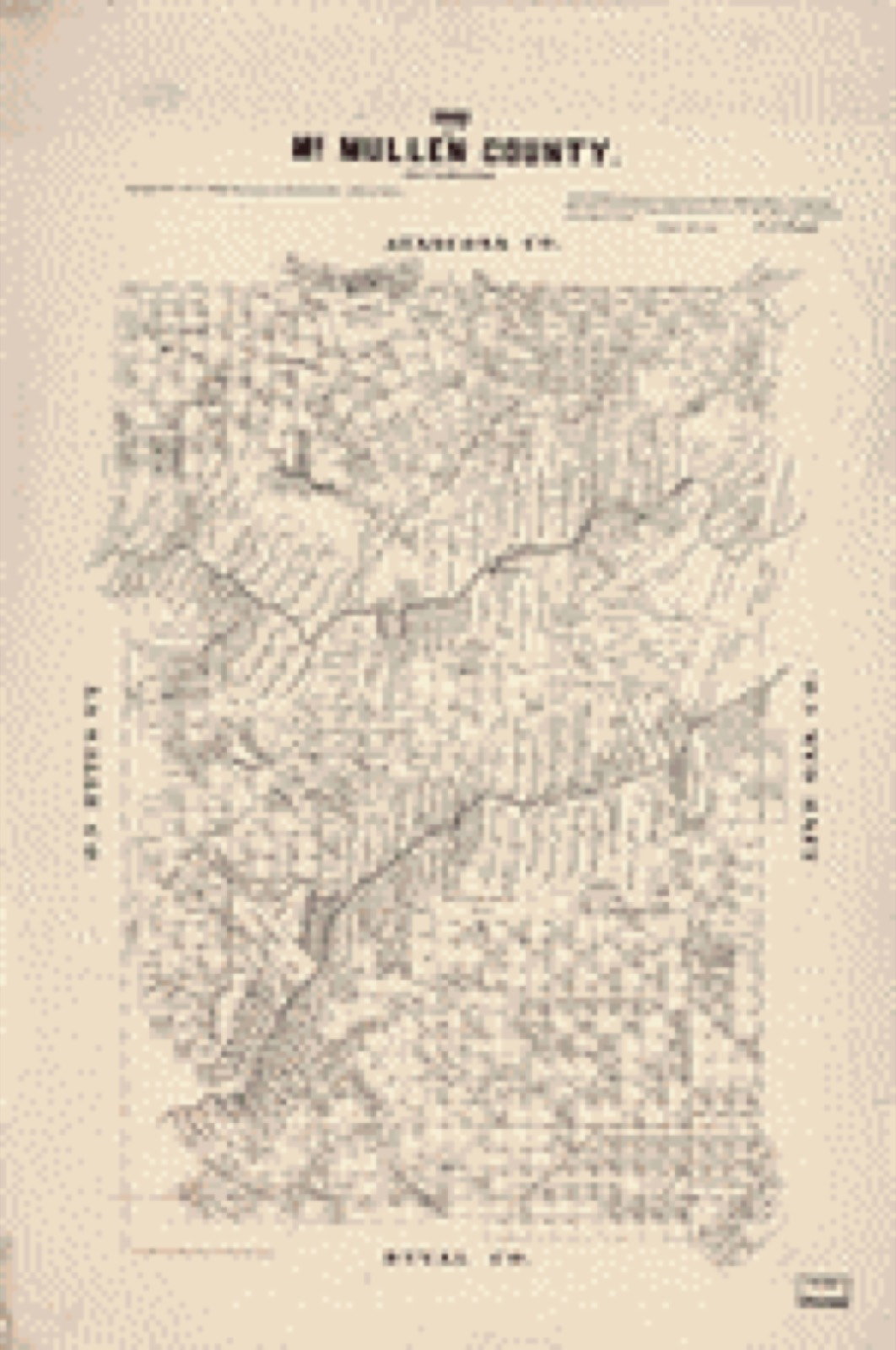
Bird's-eye views and land ownership maps
1Drawn when these were printed as single large sheets: the town seen from the air, and the county divided into its farms with every owner named. Each opens the original at the Library of Congress.
The county from the air
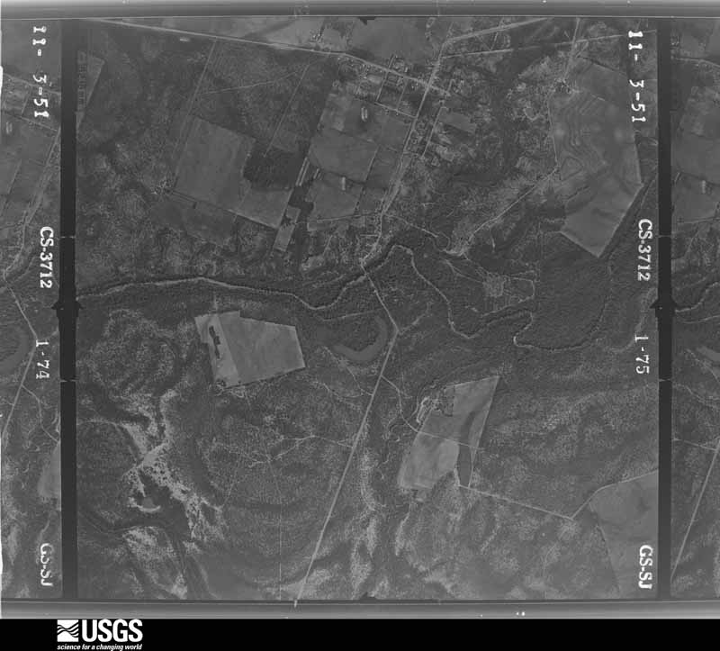
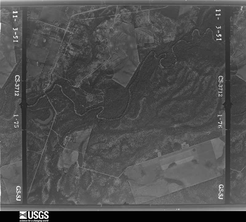
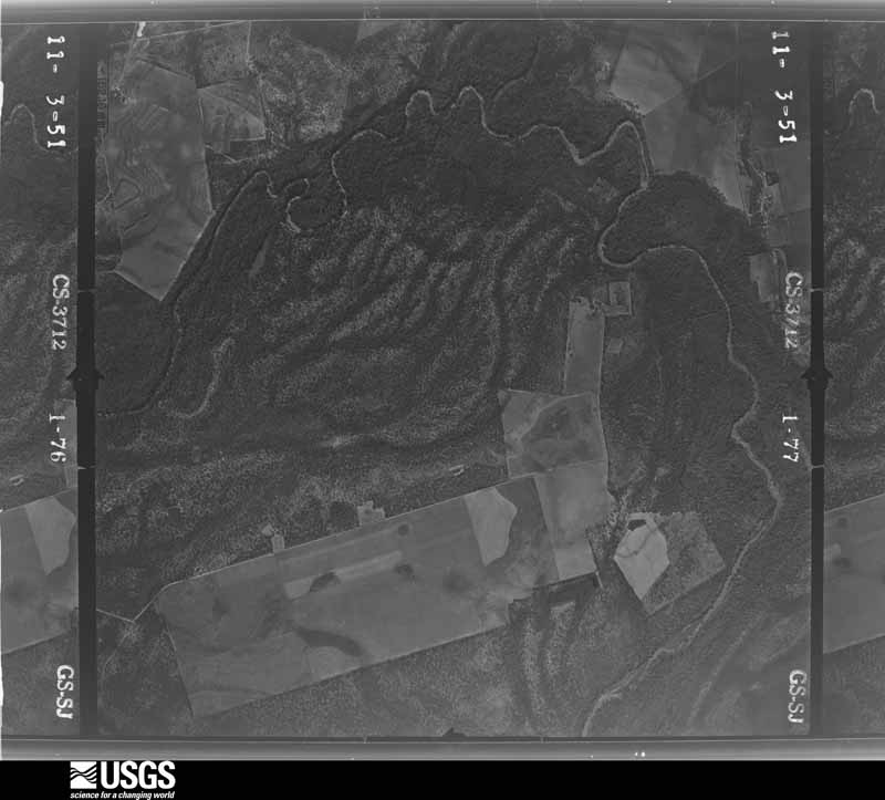
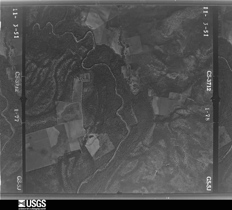
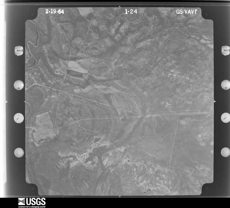
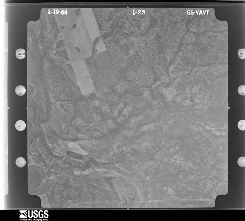
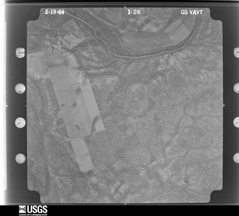
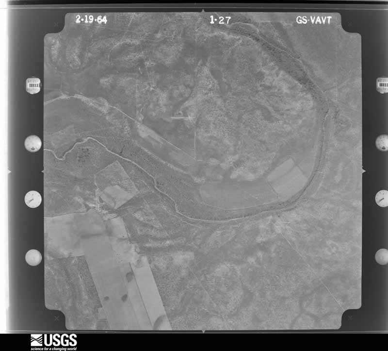
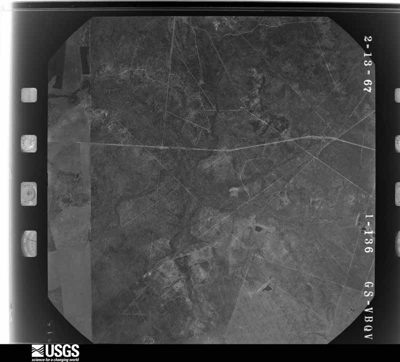
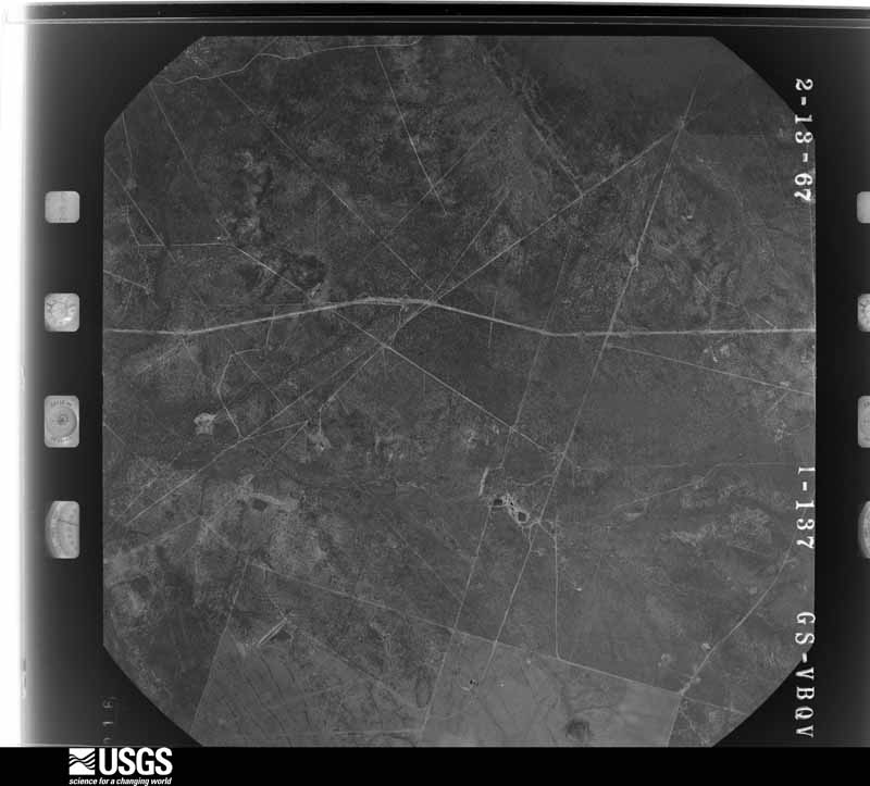
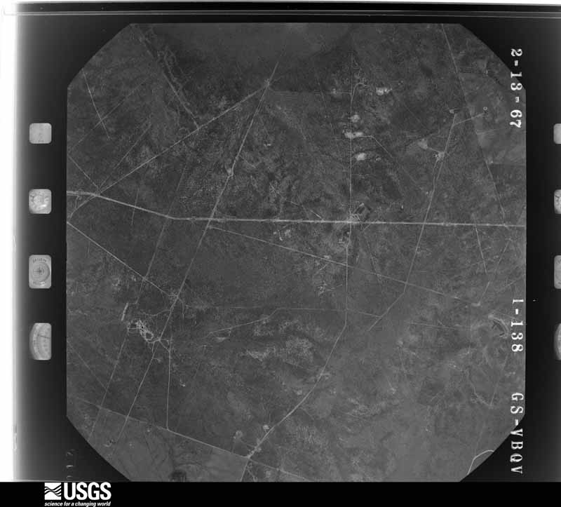
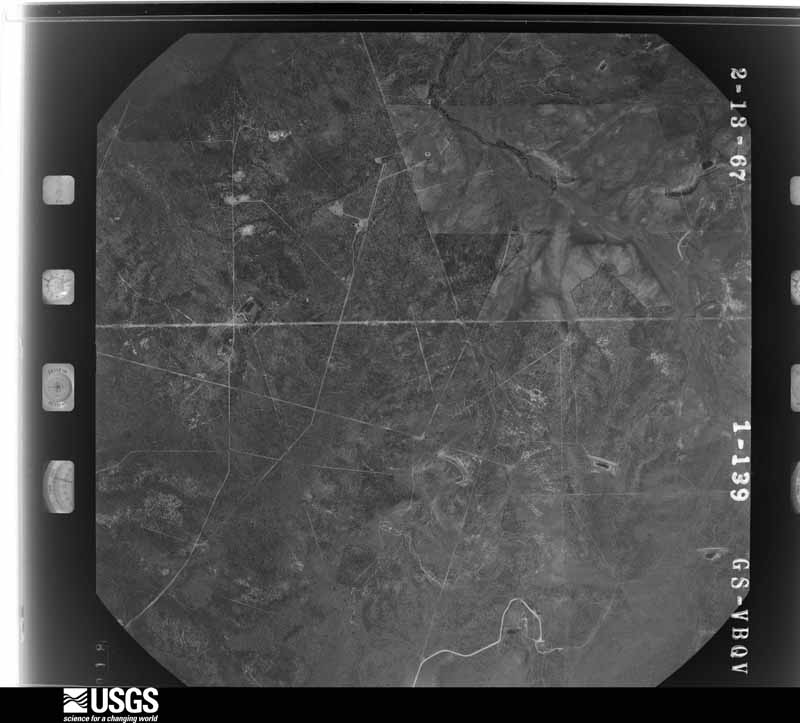
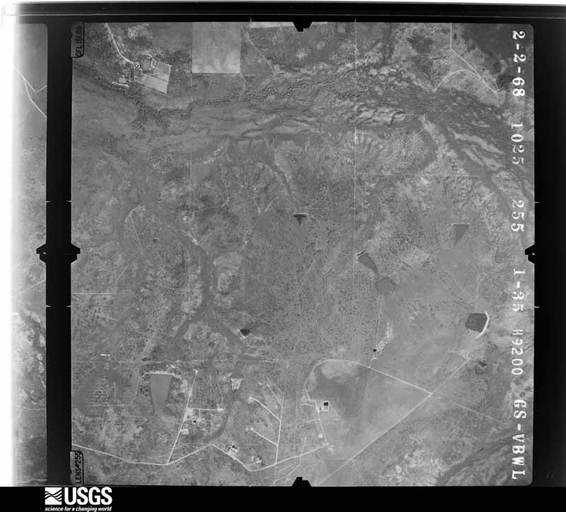
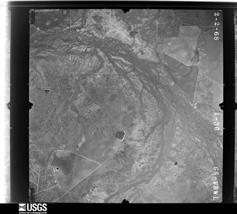
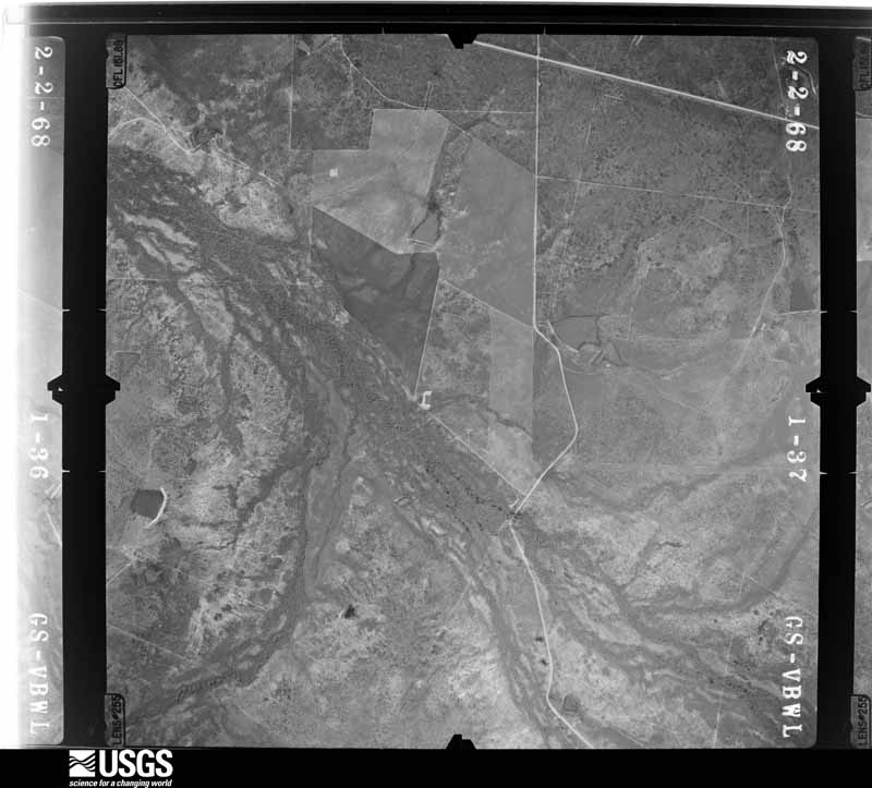
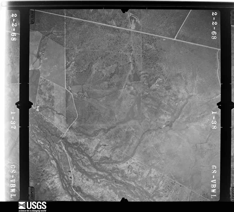
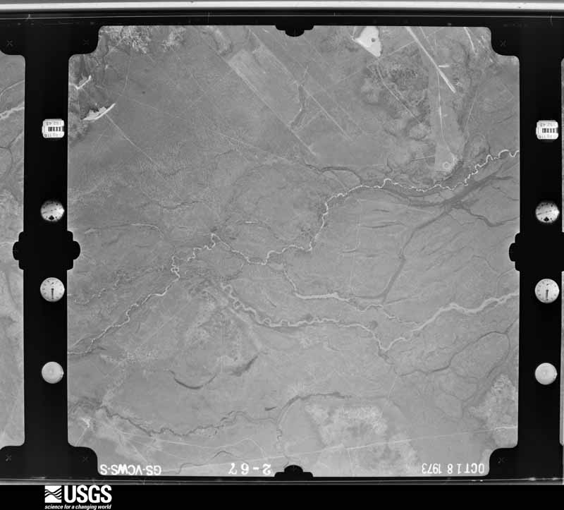
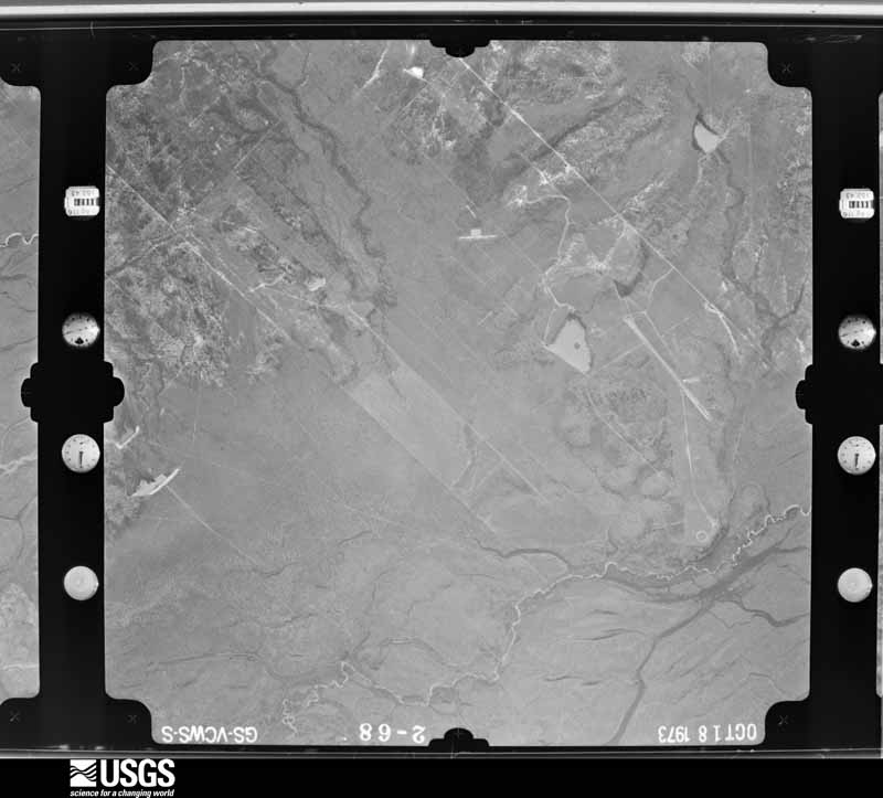
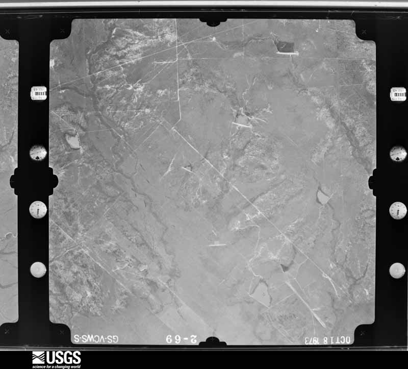
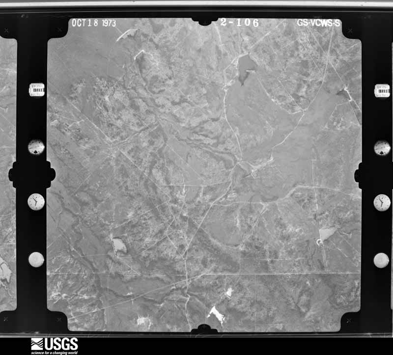
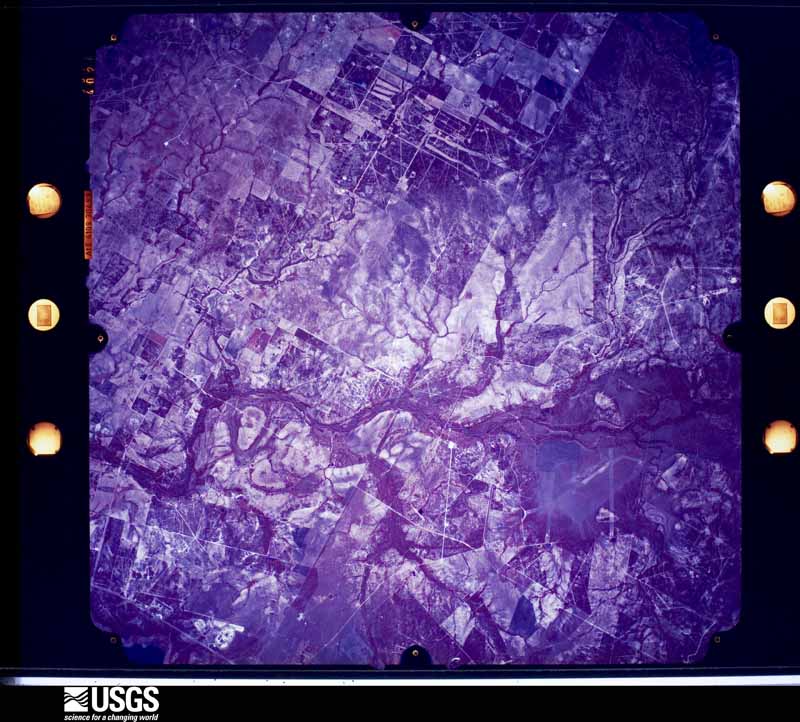
24 shownFlown by the U.S. Geological Survey between 1937 and 1989, the Aerial Photo Single Frames collection is the definitive mid-century view of the land: fields, roads and rivers as the camera saw them. The Survey holds 1,644 frames inside the rectangle that bounds this county; the 24 frames below were taken over the county itself, chosen across the decades of flights (at most four a year from that rectangle), so one flight cannot crowd out the rest. The full set is free to browse and download at EarthExplorer under the dataset Aerial Photo Single Frames.



Weather records
11 stations, 4 gagesThe thermometers that kept this county's weather, and the gages that measured the flow of its streams, as the federal records hold them. The extremes below are measured values from those records, not estimates.
- TILDEN 1903 to 1911, hottest 48.3 C, coldest -12.8 C
- TILDEN 4 SSE 1903 to 2010, hottest 48.3 C, coldest -15.0 C
- LOMA ALTA 1947 to 2026
- ACKER RCH 1978 to 2005
- CALLIHAM 1978 to 2026, hottest 45.0 C, coldest -17.8 C
- CROSS 1997 to 2026, hottest 43.9 C, coldest -11.1 C
- TILDEN 10 S 1997 to 2010
- CHRISTINE 10.8 SSE 2007 to 2012
- TILDEN 0.1 E 2008 to 2016
- TILDEN 16.0 NNW 2009 to 2019
- CROSS 1.7 NNW 2011 to 2026
- Frio Rv at Calliham, TX 1924 to 1981
- Nueces Rv nr Tilden, TX 1942 to 2026
- San Miguel Ck nr Tilden, TX 1964 to 2026
- Frio Rv at Tilden, TX 1978 to 2026
The 1950 census, district by district
4 districtsWho lived here in 1950, one enumeration district at a time, as the Census Bureau described each district. Each row opens its official National Archives result, with Population Schedules and ED Maps available there.
Wildfire, 2007 to 2018
27 firesEvery wildfire the federal occurrence database records inside this county: 27 of them, burning about 1,431 acres. None started naturally and none was recorded as arson. Each settlement page carries the fires within five miles of it.
| Reported cause | Fires |
|---|---|
| Debris and open burning | 11 |
| Missing data/not specified/undetermined | 10 |
| Equipment and vehicle use | 5 |
| Power generation/transmission/distribution | 1 |
The five largest, by the area the report gives. None of them was recorded as arson.
| Date | Cause | Size | Reported by | Name on the report |
|---|---|---|---|---|
| 5 May 2014 | Debris and open burning | 500 acres | Texas A & M Forest Service | MCMULLEN COUNTY ASSIST |
| 13 February 2009 | Debris and open burning | 300 acres | Texas A & M Forest Service | CAMARON LANE GREENBRANCH |
| 5 May 2014 | Missing data/not specified/undetermined | 100 acres | Texas A & M Forest Service | LOS NINOS FIRE |
| 3 February 2008 | Debris and open burning | 100 acres | Texas A & M Forest Service | not named |
| 11 January 2008 | Missing data/not specified/undetermined | 100 acres | Texas A & M Forest Service | not named |
| 15 July 2016 | Equipment and vehicle use | 100 acres | Texas A & M Forest Service | DONNELL RANCH |
| 14 July 2011 | Equipment and vehicle use | 75 acres | Texas A & M Forest Service | TRVFD2011-85 |
| 29 April 2009 | Missing data/not specified/undetermined | 50 acres | Texas A & M Forest Service | TRVFD2009-56 |
Every settlement page carries the fires within five miles of it - see the settlement index below.
Storms, 1956 to 2026
60 of 87 shownThe NOAA Storm Events Database holds 87 reports for this county, causing no deaths, no injuries and about $282,000 in recorded property damage. Each settlement page carries the reports that name it.
| Kind of event | Reports |
|---|---|
| Hail | 35 |
| Flash Flood | 22 |
| Thunderstorm Wind | 17 |
| Tornado | 6 |
| Flood | 5 |
| Funnel Cloud | 2 |
The most serious of them, by death, then injury, then recorded damage. The accounts are quoted exactly as the forecast office filed them.
| When | Event | Place named | Harm | What the report says |
|---|---|---|---|---|
| April 2010 | Flash Flood | Tilden | $100,000 | Thunderstorms with very heavy rainfall trained for much of the night across northern McMullen county, dumping up to 10-15 inches of rainfall and producing widespread flash flooding. Highways 16, 72, and 99 were all closed near Tilden due to flooded roads. A portion of FM 3445 was washed out and a vehicle swept into the high water. A successful high water rescue was performed. |
| October 2017 | Flood | Tilden | $50,000 | The flood wave continued to produce major river flooding along the Nueces River as it moved downstream through McMullen County during the first couple of weeks of October. Roads near the river were flooded. Hunting cabins, pump jacks, tank batteries, and irrigation pumps were flooded. |
| October 2013 | Flood | Tilden | $50,000 | Farm and ranch equipment were inundated by major flooding along the Nueces River. Some oil field equipment were flooded also. |
| May 2013 | Thunderstorm Wind | Cahham | $25,000 | High winds blew down four power poles and caused damage to a garage northeast of the community of Cross. |
| May 1959 | Tornado (F2) | not stated | $25,000 | no account filed |
| May 2017 | Hail | Wantz | $10,000 | Spotter submitted picture of tennis ball sized hail. |
| November 2016 | Thunderstorm Wind | Wantz | $10,000 | Trees were blown down by winds estimated to be around 60 mph. |
| March 2013 | Hail | Wantz | $5,000 | NWS storm survey observed dented road signs from hail along U. S. Highway 16. |
| April 2007 | Thunderstorm Wind | Tilden | $5,000 | Power poles snapped along F.M. 624 roughly 8 miles west of Hwy 16. |
| May 2013 | Hail | Tilden | $2,000 | Spotter reported quarter sized hail occurred northeast of Cross. |
| March 2026 | Hail | Tilden | - | Loma Alta Co-OP observer estimated hail dime to quarter sized. Time estimated from radar. |
| March 2024 | Hail | Tilden | - | Emergency manager reported golf ball size hail north of Tilden on TX-16. |
| August 2022 | Flood | Tilden | - | Major flooding occurred in southern and central McMullen County as a flood wave continued to move down the Nueces River. Major flooding cut off extensive portions of the flood plain with several roads flooded. |
| August 2022 | Flash Flood | Tilden | - | Water was over the roads near Loma Alta. |
| May 2021 | Thunderstorm Wind | Choke Canyon Sp | - | Choke Canyon Calliham State Park officials reported trees down within the park. |
| August 2020 | Thunderstorm Wind | Tilden | - | A personal weather station near Tilden measure wind gusts up to 65 mph. |
| April 2020 | Hail | Choke Canyon Sp | - | Public reported hail size ranged from 2 to 3 inches in diameter. |
| April 2020 | Hail | Calliham | - | Quarter sized hail occurred in Calliham. |
| March 2018 | Hail | Wantz | - | Cooperative observer reported nickel to quarter sized hail. |
| September 2018 | Flood | Tilden | - | The Nueces River near Tilden reached major flood stage on the 21st. This caused major lowland flooding of livestock, roads, irrigation pumps and tank batteries. Fencing was damaged along with a few hunting cabins. |
| October 2018 | Flood | Tilden | - | Flood wave reached McMullen County on the 20th from the heavy rainfall that occurred over the upper Nueces River watershed. Major flooding continued until the end of the month. Major flooding from west of Tilden to south of Calliham occurred. Roads and bridges near the river were flooded. |
| May 2017 | Hail | Tilden | - | Storm chaser reported half dollar sized hail. |
| May 2016 | Hail | Wantz | - | Quarter sized hail occurred just west of Highway 16 near the Nueces River. |
| September 2016 | Flash Flood | Tilden | - | Sheriff Office reported heavy rain and flooding of roads around Tilden. |
| September 2016 | Flash Flood | Calliham | - | Heavy rain caused flooding around Calliham. |
| August 2016 | Flash Flood | Tilden | - | Water covered the road to an unknown depth at the intersection of Highway 16 and Farm to Market Road 791 near Cross. |
| April 2015 | Thunderstorm Wind | Tilden | - | McMullen County Sheriff Deputy estimated wind speeds to around 60 mph southwest of Tilden. |
| April 2015 | Hail | Tilden | - | A FedEx driver reported quarter sized hail on Highway 72 4 miles west of Tilden. |
| May 2015 | Funnel Cloud | Tilden | - | McMullen County Sheriff Deputy reported a funnel cloud north of Tilden. |
| May 2015 | Flash Flood | Tilden | - | Farm to Market Road 624 was closed from the county line to Highway 16 due to high water. |
| June 2014 | Hail | Wantz | - | COOP observer reported nickel sized hail at his station near Loma Alta. |
| April 2014 | Hail | Wantz | - | Cooperative observer near Loma Alta reported nickel sized hail. |
| March 2013 | Hail | Wantz | - | Coop observer reported nickel sized hail. |
| May 2012 | Hail | Tilden | - | McMullen County Sheriffs Office reported golf ball sized hail near Highway 16 just north of Tilden. |
| May 2012 | Funnel Cloud | Tilden | - | Deputies reported a funnel cloud was south of Tilden. |
| March 2012 | Flash Flood | Tilden | - | McMullen County Sheriffs Office reported County Road 308 east of Tilden was closed due to high water. |
| May 2010 | Flash Flood | Wantz | - | Between 4 and 6 inches of rain fell producing flash flooding near CR 308 and CR 306, east of Tilden. Water was reported flowing over the road near this intersection. |
| April 2010 | Flash Flood | Calliham | - | Flowing water was reported over Hwy 72 at Park Road 8, south of Calliham, and also along Hwy 72 near the prison entrance. |
| April 2009 | Hail | Wantz | - | Reported roughly 10 miles SSW of Tilden. |
| April 2009 | Hail | Wantz | - | Reported on ranch 6 miles west of Highway 59 and County Road 624 intersection. |
| March 2007 | Hail | Tilden | - | Penny sized hail reported in Cross.| |
| July 2007 | Flash Flood | Tilden | - | Between 3 and 6 inches of heavy rain resulted in flash flooding of small creeks and low lying areas along many Farm to Mark Roads thoughout the county as well Highway 99 in northeast McMullen county, which was closed.| |
| April 2007 | Tornado (EF0) | Wantz | - | A tornado was observed over open brush country just west of Highway 16 near F.M. 624, moving east.| |
| April 2006 | Hail | Tilden | - | Nickle to quarter size hail reported on Highway 16, south of Tilden. |
| August 2004 | Flash Flood | South Central Portion | - | Heavy showers and thunderstorms from La Salle county spread into McMullen during the morning. Radar estimated between 3 and 5 inches of rain fell across the south-central portion of McMullen county. A NWS cooperative observer recorded 3.12 inches of rainfall. The heavy rainfall led to flash flooding across the area, resulting in some secondary roads covered in water. Cow Creek, 16 miles south of Tilden, flooded F.M. 1962. |
| March 2003 | Thunderstorm Wind | Tilden | - | Large tree limbs down across city. |
| June 2003 | Thunderstorm Wind | Tilden | - | County sheriff reported several large trees down in Tilden. |
| October 2003 | Flash Flood | North Central Portion | - | Widespread heavy rainfall across the northern half of McMullen county resulted in high water over several roads. Law enforcement reported 6 inches of water over Highway 72 near Calliham as well as 5 inches of water over Highway 16 near Tilden. Flooding was also reported along Park Roads in the Choke Canyon State Park. See episode narrative below for rainfall totals. |
| November 2001 | Flash Flood | North Portion | - | Several streets and roads closed. |
| November 2001 | Flash Flood | Countywide | - | Several streets and roads closed throughout the county. |
| September 2001 | Flash Flood | East Portion | - | Several streets and roads closed. |
| November 2001 | Hail | Tilden | - | 10 miles east of cross. North central part of county |
| August 1998 | Thunderstorm Wind | Calliham | - | Numerous reports of power lines downed by strong thunderstorm wind gusts along with small metal building being blown over. |
| August 1998 | Flash Flood | Calliham | - | Flooding reported over highway 99 along the McMullen/Live Oak county border. |
| March 1998 | Thunderstorm Wind | Tilden | - | NWS spotter report of numerous trees blown down and uprooted. A barn door was demolished along with a shed and a wind mill. |
| May 1997 | Thunderstorm Wind | Tilden | - | Spotter report of numerous trees downed with several windows being shattered to local homes. |
| May 1997 | Hail | Tilden | - | Spotter report of golfball sized hail resulting in numerous windows being shattered across town. |
| May 1997 | Thunderstorm Wind | Tilden | - | Sheriff report of several large trees downed by strong thunderstorm wind gusts. |
| April 1997 | Hail | Tilden | - | NWS spotter report of golfball sized hail. |
| June 1997 | Thunderstorm Wind | Tilden | - | Sheriff report of strong and gusty thunderstorm wind. |
Mines and quarries
10 recordedThe Survey's mineral resources record lists 10 workings inside this county. 5 still produce and 5 are closed or unrecorded. Each settlement page carries the workings within five miles of it.
| Commodity | Workings |
|---|---|
| Zeolites | 4 |
| Stone, Crushed/Broken | 4 |
| Clay | 1 |
| Sand and Gravel, Construction | 1 |
The least common of them first, because a county's hundredth gravel pit says nothing its first ten did not.
| Where | Site | Commodity | Status | Recorded |
|---|---|---|---|---|
| Franklin Ranch Prospect | Clay | Occurrence | Kaolinite | |
| Three Rivers Plant and Pit | Sand and Gravel, Construction | Producer | ||
| Atkinson Quarry | Stone, Crushed/Broken | Past Producer | ||
| Buck Martin Quarry | Zeolites | Occurrence | Sedimentary | |
| Dilworth Quarry | Zeolites | Occurrence | Sedimentary | |
| E E Hood Pit | Stone, Crushed/Broken | Producer | ||
| Henry Martin Quarry | Zeolites | Occurrence | Sedimentary | |
| Kuykendall Quarry | Zeolites | Producer | Sedimentary | |
| Moore Materials Atkinson Pit | Stone, Crushed/Broken | Producer | ||
| Whitley Quarry | Stone, Crushed/Broken | Producer |
Every populated place in the county
6Named settlements recorded in the Geographic Names Information System, each with the topographic sheets covering it. Villages, hamlets and abandoned places alike. Each is shown with the nearest named watercourse or landform and the survey quadrangle it falls on.
-
Crowther
Tilden census division · 78026 · On Frenchman Branch · Crowther quadrangle
12 sheets, 1925 to 1985
-
Loma Alta
Tilden census division · 78072 · Near Devils Center Table · Loma Alta quadrangle
9 sheets, 1937 to 1985
-
Tilden
Tilden census division · 78072 · On Leoncita Creek · Tilden quadrangle
11 sheets, 1925 to 1985
Provenance
- Topographic sheets. USGS Historical Topographic Map Collection, county index, measured from the bulk metadata.
- Fire insurance maps. Library of Congress Sanborn collection, faceted to this county.
- Photographs. Each place queried individually against the Library of Congress Prints and Photographs search.
- Wildfire. Short, Karen C. 2022. Spatial wildfire occurrence data for the United States, 1992-2020 [FPA_FOD_20221014]. 6th Edition. Fort Collins, CO: Forest Service Research Data Archive. https://doi.org/10.2737/RDS-2013-0009.6 Collected with United States Government funding and usable without additional permissions or fees.
- Mines and quarries. USGS Mineral Resources Data System (MRDS) https://mrdata.usgs.gov/mrds/ A work of the United States government, no copyright under 17 U.S.C. 105.
- Storms. NOAA National Centers for Environmental Information, Storm Events Database https://www.ncei.noaa.gov/stormevents/ A work of the United States government, no copyright under 17 U.S.C. 105. Narratives are quoted verbatim from the National Weather Service report and are not edited or summarised.