 Block
BlockFrom the record
2 National Register listings published here.
Sources: the National Register database, National Park Service
47 topographic sheets cover 11 settlements here, and 2 properties are on the National Register of Historic Places.
2 National Register listings published here.
Sources: the National Register database, National Park Service
Every property in this county listed on the National Register of Historic Places, with the year it was listed and the federal nomination document.
| Photograph | Property | Type | Listed | Reference |
|---|---|---|---|---|
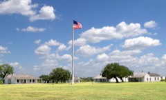 | Fort McKavett Historic District | district | 1971 | 71000955 |
 | Menard County Courthouse | building | 2003 | 03000935 |
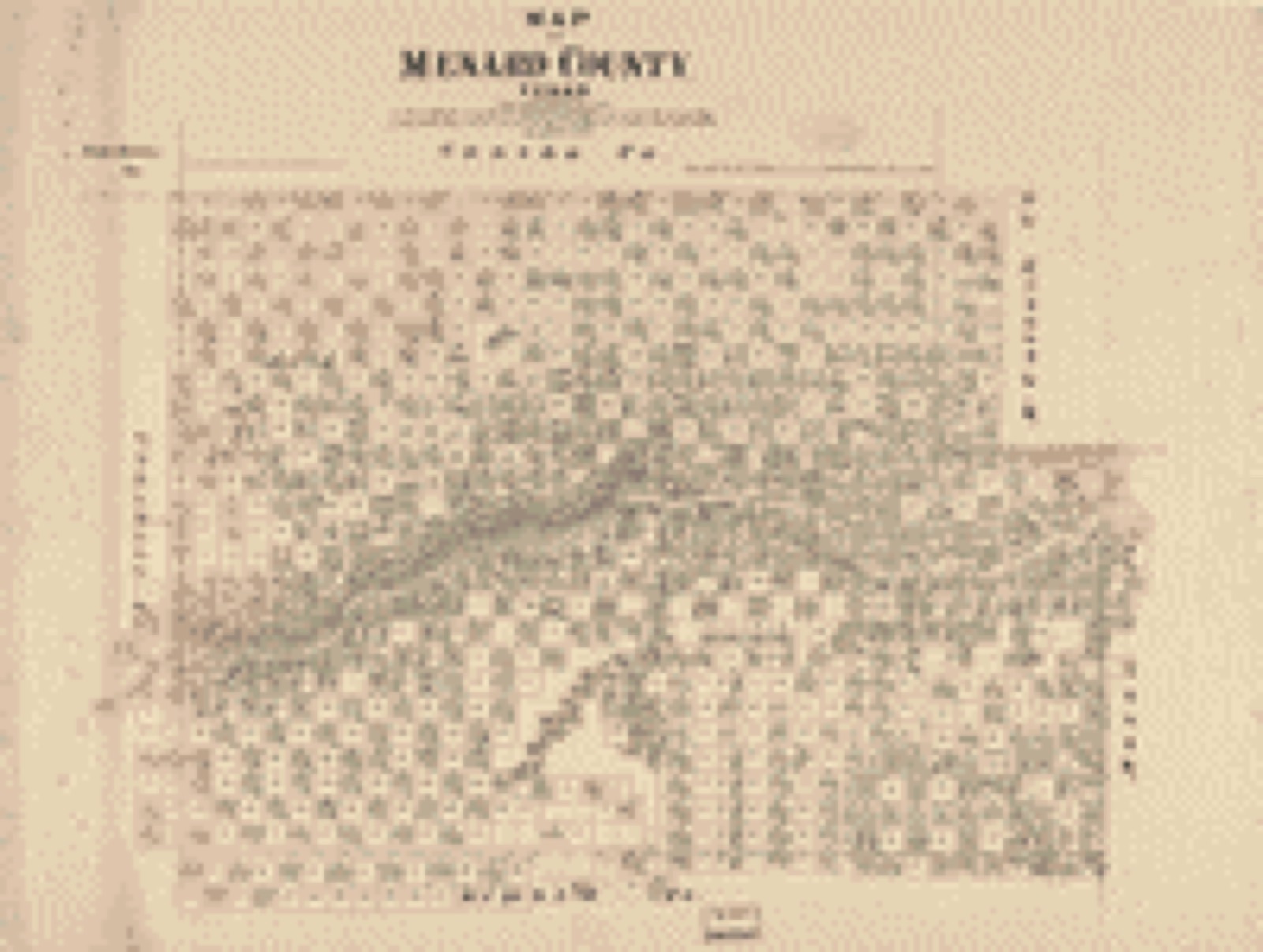
Drawn when these were printed as single large sheets: the town seen from the air, and the county divided into its farms with every owner named. Each opens the original at the Library of Congress.

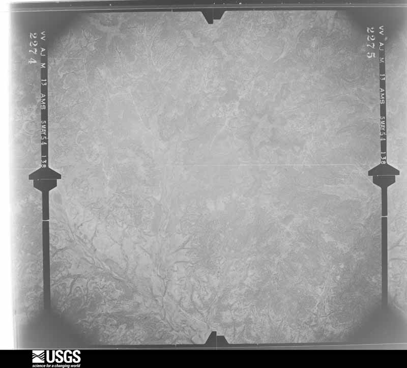
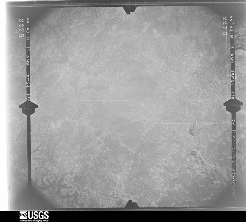
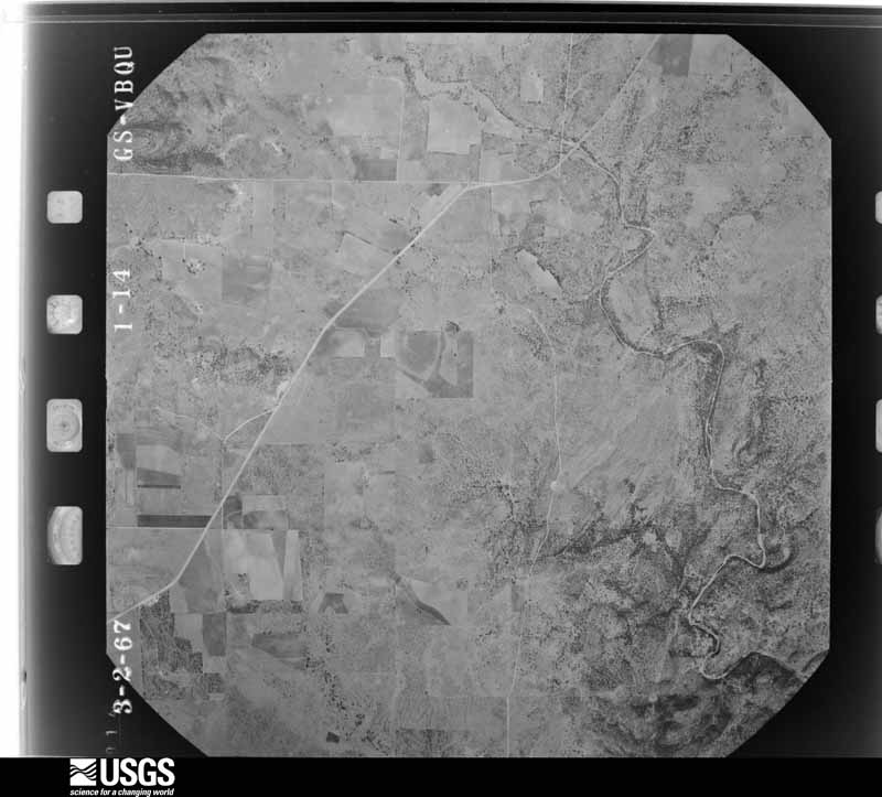
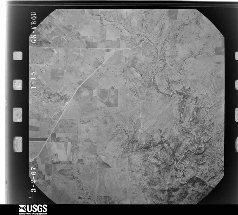
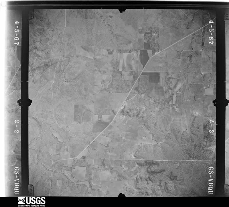
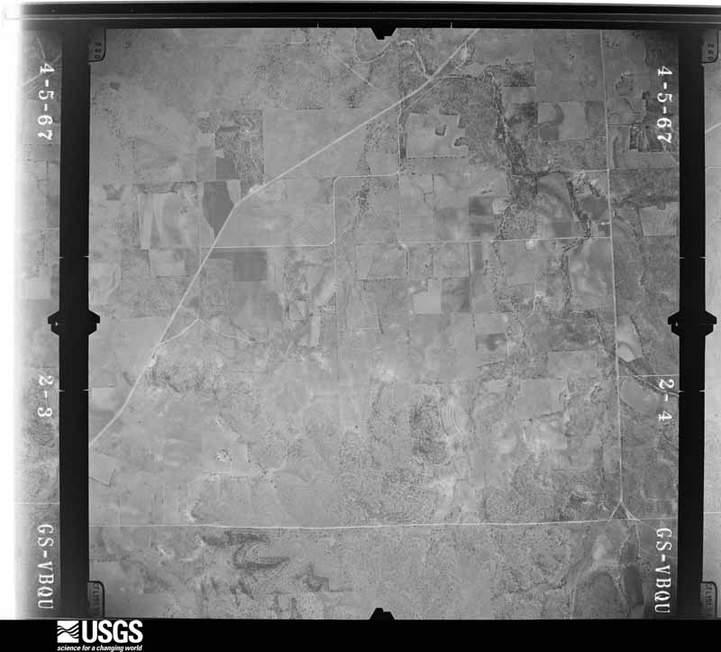
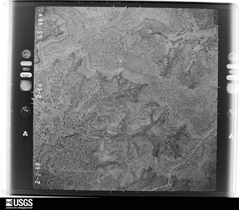
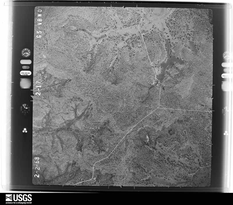
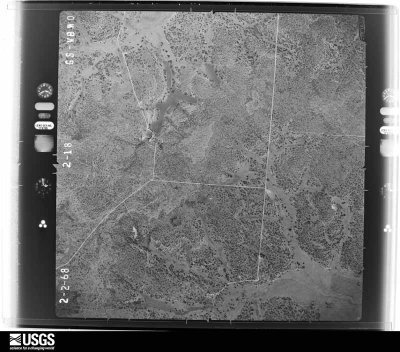
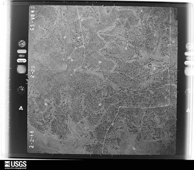
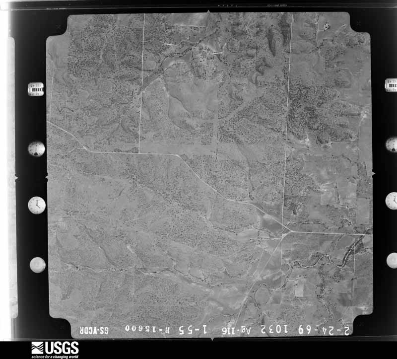
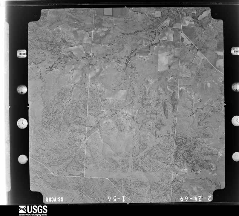
Flown by the U.S. Geological Survey between 1937 and 1989, the Aerial Photo Single Frames collection is the definitive mid-century view of the land: fields, roads and rivers as the camera saw them. The Survey holds 951 frames inside the rectangle that bounds this county; the 28 frames below were taken over the county itself, chosen across the decades of flights (at most four a year from that rectangle), so one flight cannot crowd out the rest. The full set is free to browse and download at EarthExplorer under the dataset Aerial Photo Single Frames.
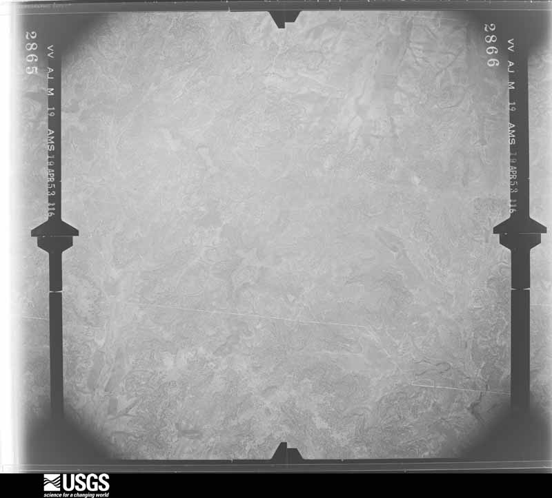
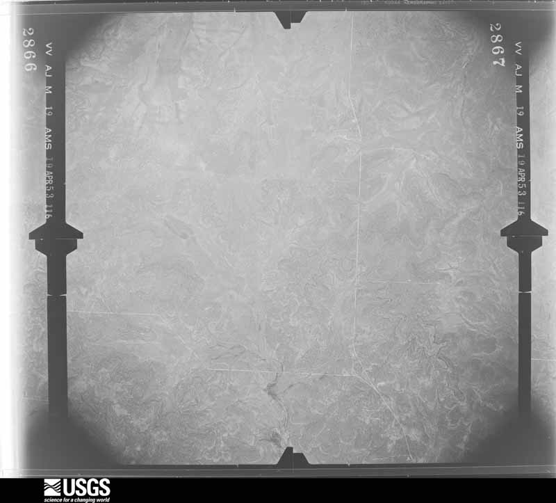
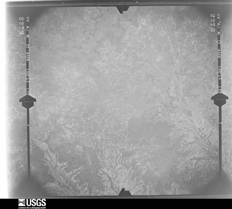
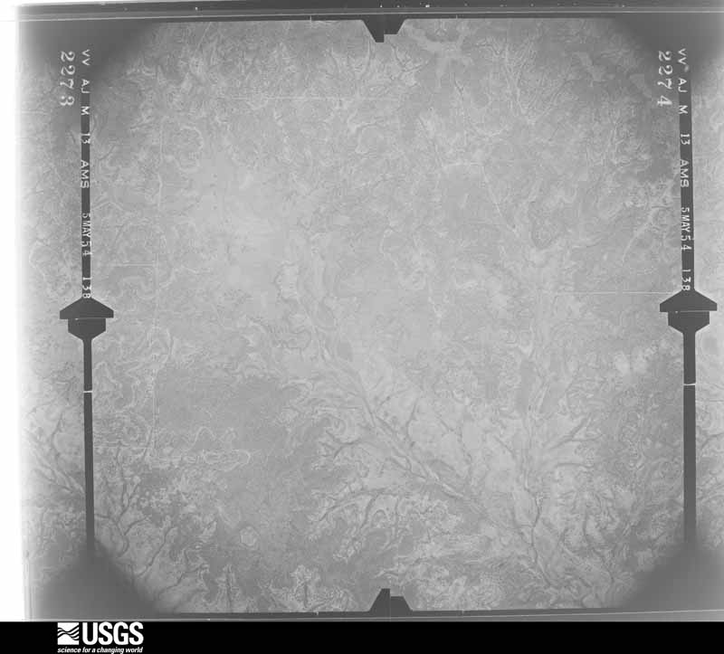
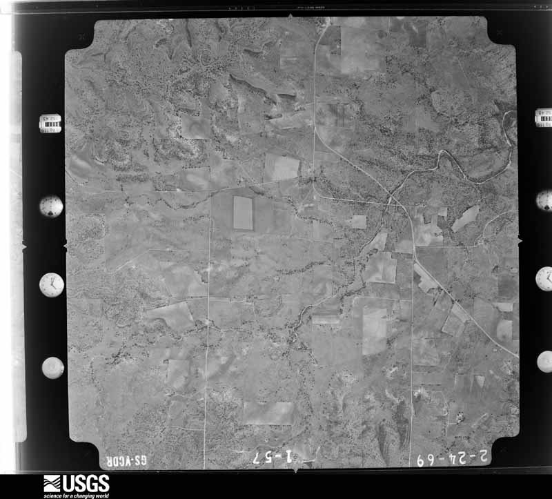
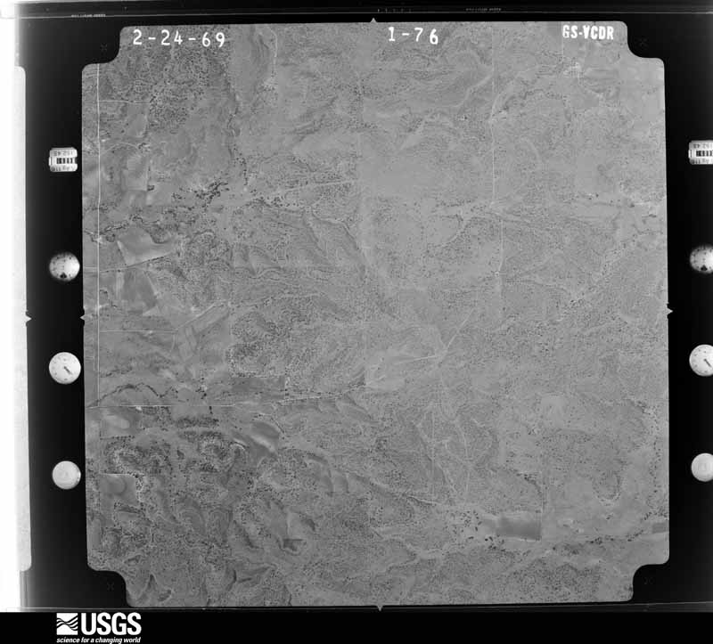




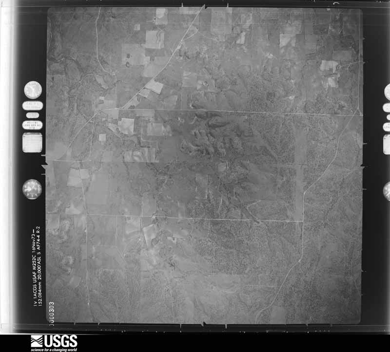
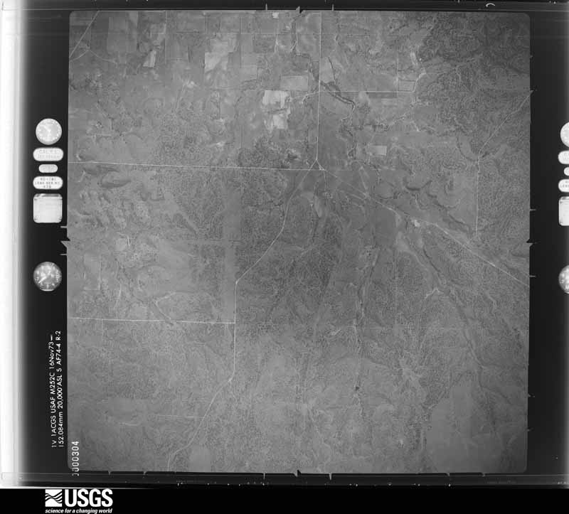
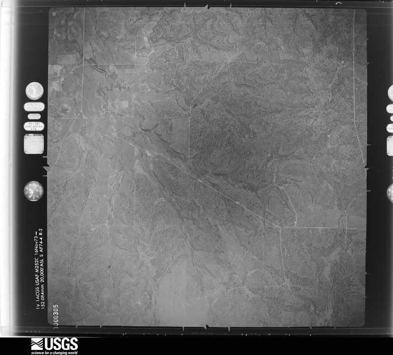
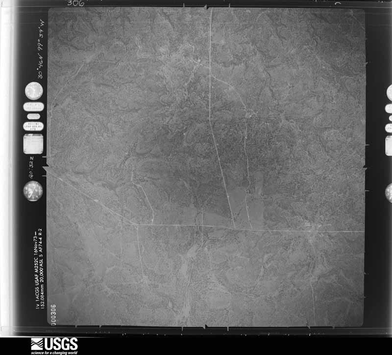
The thermometers that kept this county's weather, and the gages that measured the flow of its streams, as the federal records hold them. The extremes below are measured values from those records, not estimates.
Who lived here in 1950, one enumeration district at a time, as the Census Bureau described each district. Each row opens its official National Archives result, with Population Schedules and ED Maps available there.
Every wildfire the federal occurrence database records inside this county: 55 of them, burning about 20,602 acres. 15 started naturally and 1 was recorded as arson. Each settlement page carries the fires within five miles of it.
| Reported cause | Fires |
|---|---|
| Missing data/not specified/undetermined | 18 |
| Natural | 15 |
| Debris and open burning | 10 |
| Equipment and vehicle use | 8 |
| Power generation/transmission/distribution | 2 |
| Arson/incendiarism | 1 |
| Recreation and ceremony | 1 |
The five largest, by the area the report gives. None of them was recorded as arson.
| Date | Cause | Size | Reported by | Name on the report |
|---|---|---|---|---|
| 15 August 1993 | Missing data/not specified/undetermined | 10,106 acres | Texas A & M Forest Service | MENARD FIRE |
| 30 July 2006 | Debris and open burning | 1,925 acres | Texas A & M Forest Service | MENZIE |
| 1 August 2008 | Missing data/not specified/undetermined | 1,024 acres | Texas A & M Forest Service | MENARD |
| 14 October 2015 | Debris and open burning | 860 acres | Texas A & M Forest Service | PRESTON RANCH |
| 19 August 2015 | Natural | 657 acres | Texas A & M Forest Service | TREADWELL LANE |
| 20 August 2015 | Natural | 556 acres | Texas A & M Forest Service | WILHELM LANE |
| 1 July 2006 | Missing data/not specified/undetermined | 500 acres | Texas A & M Forest Service | FT MCKAVETT FIRE |
| 11 June 2008 | Missing data/not specified/undetermined | 500 acres | Texas A & M Forest Service | not named |
Every settlement page carries the fires within five miles of it - see the settlement index below.
The NOAA Storm Events Database holds 204 reports for this county, causing no deaths, no injuries and about $7,982,500 in recorded property damage. Each settlement page carries the reports that name it.
| Kind of event | Reports |
|---|---|
| Hail | 117 |
| Thunderstorm Wind | 42 |
| Flash Flood | 36 |
| Flood | 5 |
| Tornado | 3 |
| Wildfire | 1 |
The most serious of them, by death, then injury, then recorded damage. The accounts are quoted exactly as the forecast office filed them.
| When | Event | Place named | Harm | What the report says |
|---|---|---|---|---|
| October 2018 | Flood | Callan | $7,100,000 | TxDOT reported RR 2291, RR 1773, FM 2092, and FM 1311 in Menard County closed due to flooding. Lots of damage to area roads and county infrastructure form the prolonged flooding. |
| May 1997 | Thunderstorm Wind | Ft Mckavett | $300,000 | Golfball size hail and 100 mph winds were reported by a cooperative observier near Fort McKavett. The hail broke double-pane windows. The winds damaged three camp buildings along the San Saba River. One building was lifted off of its foundation. The roof of another, a lodge building, was removed and carried more than 100 yards by the winds. The camp was occupied during this storm but there were no injuries. |
| June 1997 | Flash Flood | Menard | $250,000 | Up to four inches of rain fell over Menard County with higher amounts in a few areas. The water was up to four feet deep. Farm-to-Market roads and highways were closed. |
| June 1997 | Thunderstorm Wind | Menard | $75,000 | Large tree limbs were broken in Menard and throughout the county. |
| May 1997 | Hail | Ft Mckavett | $50,000 | no account filed |
| August 1996 | Flash Flood | Menard | $50,000 | no account filed |
| June 2019 | Thunderstorm Wind | Ft Mckavett | $30,000 | A roof was lifted from a residence by damaging thunderstorm winds. |
| June 2004 | Flash Flood | Menard | $25,000 | A store near the Conch county line was flooded. |
| November 2000 | Flash Flood | Countywide | $25,000 | Slow moving thunderstorms dropped 8 to 10 inches of rain across most of Menard County, causing extensive flooding. At one point, every road in the county was reportedly flooded and impassable due to both flash flooding and flooding along the San Saba River. |
| June 1997 | Flash Flood | Menard | $25,000 | no account filed |
| July 2000 | Thunderstorm Wind | Menard | $15,000 | Many pecan and oak trees, some 300 years old, were toppled when a downburst struck near Menard. About 100 of the trees had diameters more than 2 feet in diameter. A gazebo was also heavily damaged by the falling trees. |
| June 2007 | Hail | Menard | $10,000 | This large hail broke the windows of a house. |
| May 2005 | Tornado (F0) | Ft Mckavett | $10,000 | The supercell thunderstorm had now moved into northwestern Menard County. The storm produced its final known tornado just northeast of Fort McKavett at the Sol Mayer Boy Scout Camp. The tornado destroyed one out building and damaged the roofs on a couple of other buildings. |
| March 2004 | Thunderstorm Wind | Menard | $8,000 | Several trees were blown over. |
| October 2006 | Thunderstorm Wind | Menard | $4,000 | Fourteen telephone poles were blown down. Several trees were also knocked down due to the severe thunderstorm wind gust. |
| April 2001 | Thunderstorm Wind | Menard | $2,000 | Large tree limbs downed by high winds. |
| August 1999 | Wildfire | Countywide | $1,500 | Lightning started several wildfires across Menard County, consuming a total of about 500 acres. |
| August 1998 | Thunderstorm Wind | Ft Mckavett | $1,000 | Winds estimated at 60 mph blew out several windows at Fort McKavett State Park. |
| June 1998 | Thunderstorm Wind | Menard | $1,000 | Trees blown down |
| May 2025 | Thunderstorm Wind | Menard Co Arpt | - | The West Texas Mesonet station in Menard measured a wind gust of 73 mph. |
| May 2025 | Tornado (EFU) | Menard | - | A trained spotter reported a tornado just southwest of Menard. |
| May 2025 | Hail | Menard Co Arpt | - | Public report of 3.25 inch diameter hail 2 miles west of Menard. |
| May 2025 | Hail | Menard Co Arpt | - | A storm chaser reported a few giant size hail stones that measured between 5.51 and 5.87 inches in diameter. This information was posted on social media and the storm chaser was with the ICECHIP research group.||On May 26th, a long lived supercell thunderstorm moved from southeast Tom Green County to the southeast to around Menard and then into Mason County. This storm produced many reports of very large hail and giant size hail around Menard. |
| May 2025 | Flash Flood | Menard | - | The public posted pictures on social media showing streets flooded and yards flooded in Menard. |
| May 2025 | Flood | Hext | - | Public reported streets flooded and yards flooded. |
| July 2025 | Flash Flood | Menard | - | Law enforcement reported flood waters getting into homes in Menard. In addition, the flow at the San Saba River was elevated and producing flooding across a low water crossing. |
| July 2025 | Flash Flood | Ft Mckavett | - | The Menard County Emergency Manager reported that Ranch to Market Road 1674 in southwestern Menard County is closed due to flooding. |
| July 2025 | Flash Flood | Ft Mckavett | - | The Menard County Emergency Manager reported flooding at the low water crossing at RR 865 and the San Saba River. |
| July 2025 | Flash Flood | Hext | - | The Menard County Emergency Manager reported that a portion of RR 1773 is closed due to flooding. |
| July 2025 | Flash Flood | Hext | - | The Menard County Emergency Manger reported that a portion of RR 1221 was closed due to flooding. |
| July 2025 | Flash Flood | Hext | - | Law enforcement reported that most of the low water crossings and county roads across Menard County were flooded. In addition, there were several water rescues being conducted. Time is estimated by radar. |
| November 2025 | Flash Flood | Menard | - | Emergency management reported significant street flooding in Menard. In addition, significant flooding was reported in the Harris Hollow section of Menard. |
| November 2025 | Flash Flood | Menard Co Arpt | - | Emergency Management reported Ranch Road 2291 closed due to flooding. |
| November 2025 | Flash Flood | Menard | - | Public posted a video was on social media, showing extensive flooding in Menard. |
| November 2025 | Flash Flood | Menard | - | Emergency Management reported water has started to enter homes in the Harris Hollow section of Menard. |
| June 2025 | Flash Flood | Menard | - | An emergency manager reported 6 to 8 feet of water flowing over FM 2092, at the Five Mile Crossing, 5 miles east of Menard. The road was closed due to flooding. |
| March 2024 | Hail | Ft Mckavett | - | Public report through social media of 2 inch diameter hail 11 miles north of Fort McKavett. |
| May 2024 | Hail | Menard | - | An emergency manager reported quarter size hail five miles east of Menard on FM2092. |
| May 2024 | Thunderstorm Wind | Menard Co Arpt | - | A mesonet observation station measured an 81 mph wind gust. |
| May 2024 | Hail | Menard Co Arpt | - | A NWS COOP observer reported quarter size hail. Also, wind gusts of 50 mph were reported. |
| May 2024 | Hail | Menard | - | Public reported half dollar to ping pong ball size hail. |
| May 2024 | Hail | Hext | - | Public reported ping pong ball size hail. |
| May 2024 | Thunderstorm Wind | Menard Co Arpt | - | A mesonet observation station measured a 60 mph wind gust. |
| May 2024 | Thunderstorm Wind | Ft Mckavett | - | Delayed Report: The NWS conducted a storm survey. There was damage to 8 power poles along US 190. The wooden crossarms were snapped off. Also, power lines were blown down. The estimated wind speed was 85 to 100 mph. The time of damage is based on radar. |
| May 2024 | Thunderstorm Wind | Menard Co Arpt | - | Delayed Report: The NWS conducted a storm survey. There was major damage to an outbuilding. the roof was blown off an thrown about 100 feet. Also, many tree branches were broken. The time is based on radar. |
| May 2024 | Thunderstorm Wind | Ft Mckavett | - | Delayed Report: The NWS conducted a storm survey. There was major damage to a mobile home and a an outbuilding was swept off its foundation. There were two carports that had mainly roof damage. A 4 wheeler was moved and the wind shield was blown out. Also, many tree branches were broken and a few trees were uprooted. The time of damage is based on radar. |
| May 2024 | Hail | Menard Co Arpt | - | Delayed report: The NWS conducted a storm survey. There were many windows broken from the large hail at a house and a few outbuildings. Also, lots of golf ball size hail and the hail lasted 20 to 30 minutes. |
| May 2024 | Hail | Ft Mckavett | - | A CoCoRaHS observer reported quarter size hail from occasionally 715 PM to until 830 PM. |
| May 2024 | Hail | Menard | - | Public reported quarter size hail. |
| September 2024 | Flash Flood | Menard | - | There was street and road flooding in Menard which resulted in roads being closed. Also, vehicles were stranded due to the high water. |
| March 2023 | Thunderstorm Wind | Menard | - | An Emergency Manager reported telephone lines down on the north side of Menard on Highway 83. Also, there was roof damage to 3 buildings and several tree limbs were blown down. |
| March 2023 | Thunderstorm Wind | Menard | - | An Emergency Manager reported large tree limbs blown down around town. Also, some minor damage to some structures. |
| June 2023 | Hail | Hext | - | Amatuer radio operator reported quarter size hail. |
| June 2023 | Hail | Menard | - | Public reported quarter size hail. Also...hail is 3 inches deep in spots and completely covers the ground. |
| June 2023 | Hail | Menard | - | Emergency manager reported quarter size hail. |
| June 2023 | Hail | Menard Co Arpt | - | Public reported quarter size hail. |
| June 2023 | Hail | Menard | - | Trained spotter reported ping pong ball size hail. |
| September 2021 | Thunderstorm Wind | Hext | - | The public reported large tress snapped. |
| March 2021 | Hail | Menard | - | Emergency manager reported quarter size hail about 9.7 miles south of Menard on U.S. Highway 83. The emergency manager also reported the occupants of a vehicle said the strong thunderstorm winds shook the vehicle. |
| February 2020 | Hail | Menard | - | The Menard Volunteer Fire Department reported nickle size hail covering the ground in Menard. |
Named settlements recorded in the Geographic Names Information System, each with the topographic sheets covering it. Villages, hamlets and abandoned places alike. Each is shown with the nearest named watercourse or landform and the survey quadrangle it falls on.
Menard West census division · 76859 · On Dry Creek · Clear Creek Lake quadrangle
8 sheets, 1954 to 1985
Menard East census division · 76854 · Near Muskhog Hollow · Long Mountain quadrangle
13 sheets, 1887 to 1985
Menard East census division · 76859 · Near Chapman Draw · Chapman Draw quadrangle
9 sheets, 1954 to 1985
Menard West census division · 76841 · Near Terrett Draw · Fort McKavett quadrangle
11 sheets, 1893 to 1994
Menard West census division · 76859 · On Coghlan Branch · Menard quadrangle
8 sheets, 1954 to 1985
Menard East census division · 76848 · Near Dead Man Hollow · Hext quadrangle
7 sheets, 1954 to 1985
Menard West census division · 76859 · Near Arroyo de Juan Lorenzo · Menard quadrangle
8 sheets, 1954 to 1985
Menard East census division · 76854 · On Pecan Creek · London quadrangle
7 sheets, 1954 to 1985
Menard East census division · 76859 · On Taylor Branch · Chapman Draw quadrangle
9 sheets, 1954 to 1985
Menard East census division · 76859 · On Greenhead Creek · Calf Creek quadrangle
13 sheets, 1887 to 1985