 Block
BlockFrom the record
5 National Register listings published here.
Sources: the National Register database, National Park Service
63 topographic sheets cover 55 settlements here, and 5 properties are on the National Register of Historic Places.
5 National Register listings published here.
Sources: the National Register database, National Park Service
Every property in this county listed on the National Register of Historic Places, with the year it was listed and the federal nomination document.
| Photograph | Property | Type | Listed | Reference |
|---|---|---|---|---|
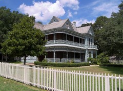 | Dr. Nathan and Lula Cass House | building | 1991 | 91000037 |
 | International & Great Northern Railroad Passenger Depot | building | 2006 | 06000824 |
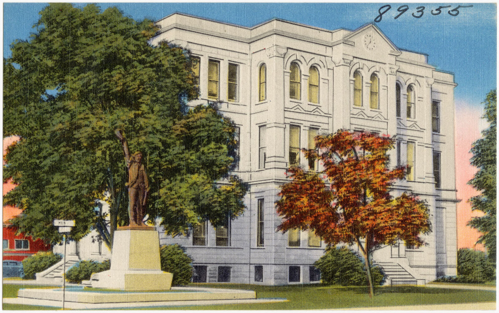
 | Milam County Courthouse and Jail | building | 1977 | 77001460 |
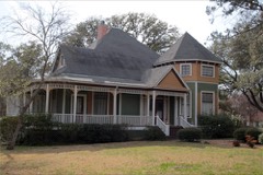 | R.F. and Minta Pool House | building | 2014 | 14000403 |
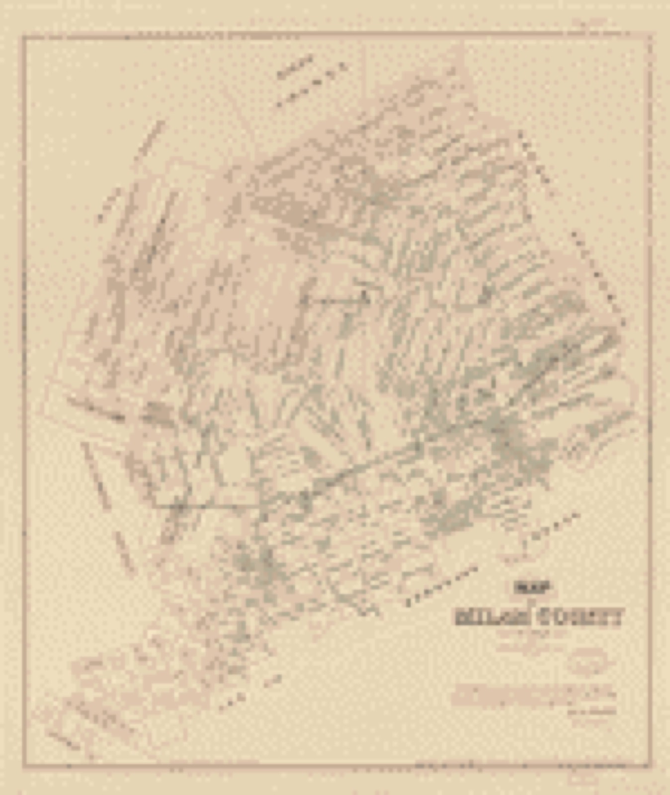
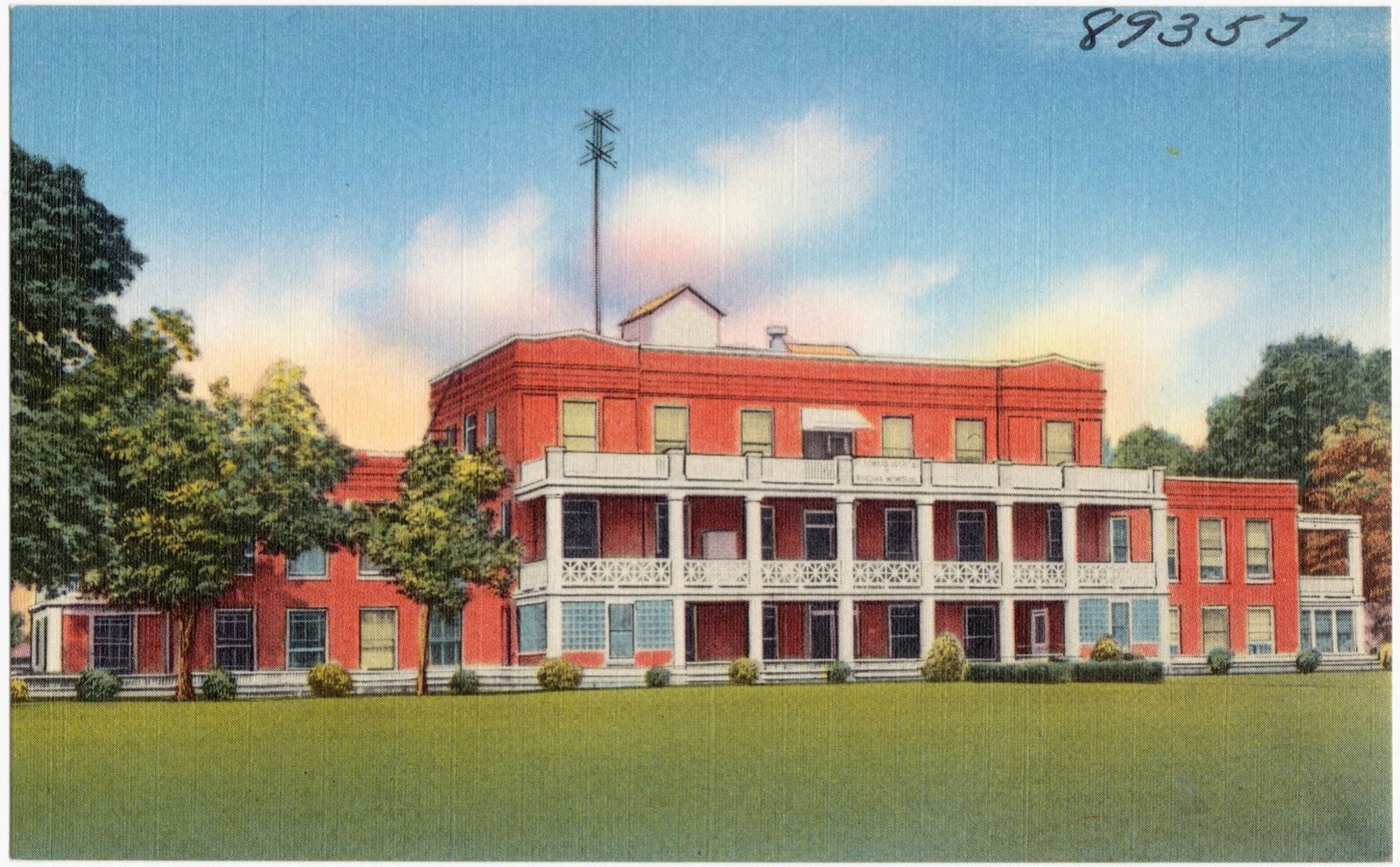
Drawn when these were printed as single large sheets: the town seen from the air, and the county divided into its farms with every owner named. Each opens the original at the Library of Congress.
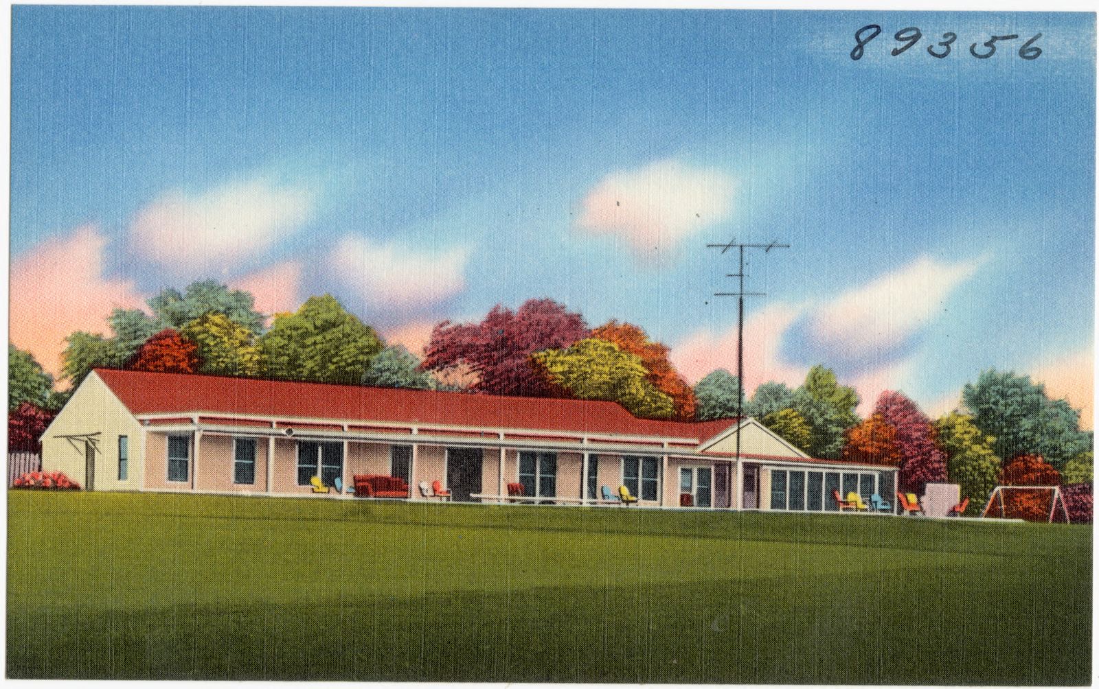
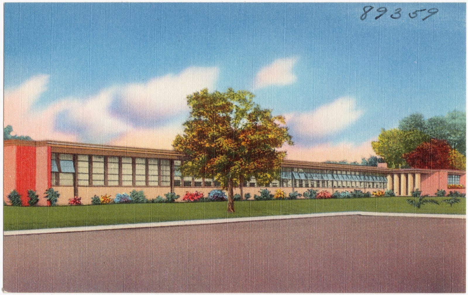
Selected from the Digital Public Library of America's 6 image records catalogued for this county. Every one shown here carries a public-domain status or a licence that permits reuse on a site that carries advertising; non-commercial, share-alike and restricted images are excluded. The selection is spread across the county's towns (at most eight per town), so no single institution's bulk upload crowds out the rest. Each opens the holding library's record, and the complete set at the Digital Public Library of America is one click away.


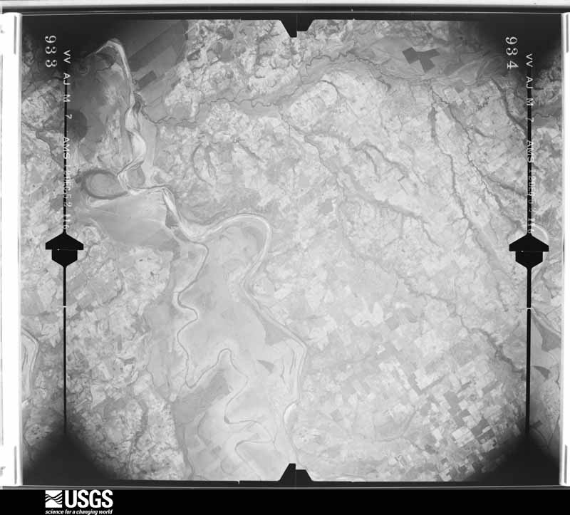
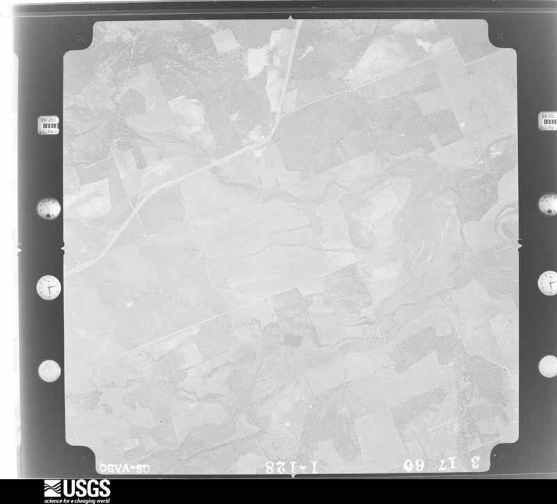
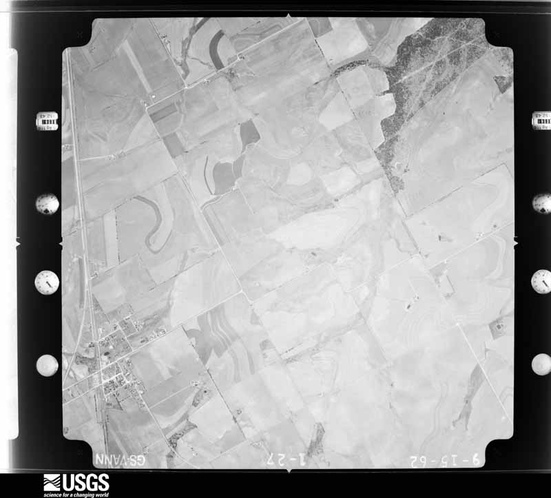
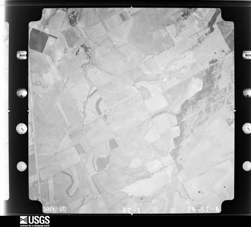
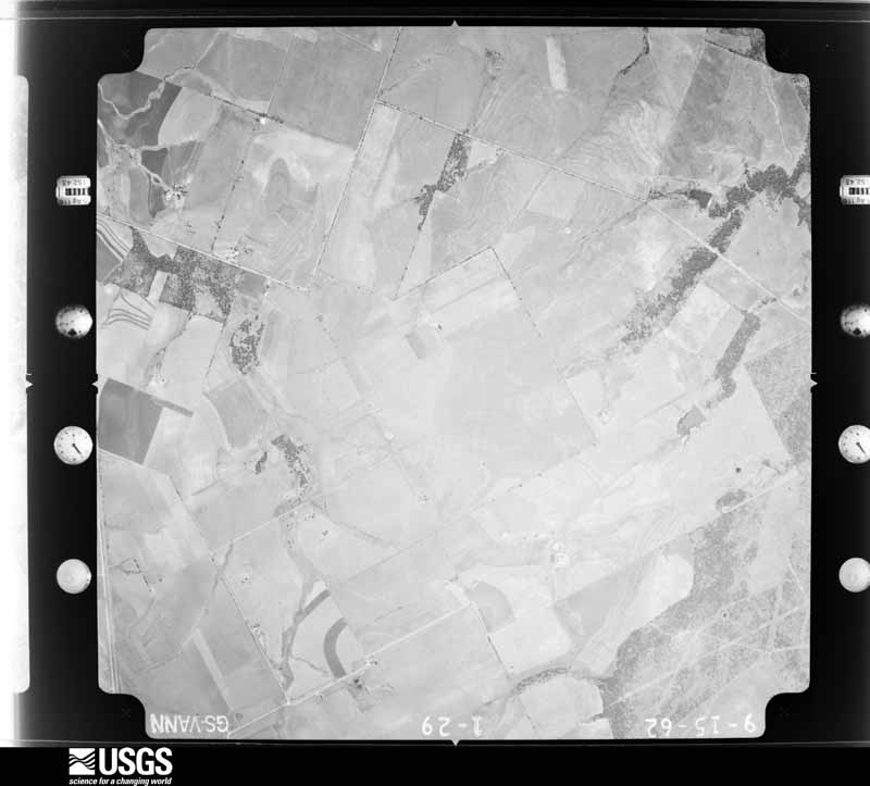
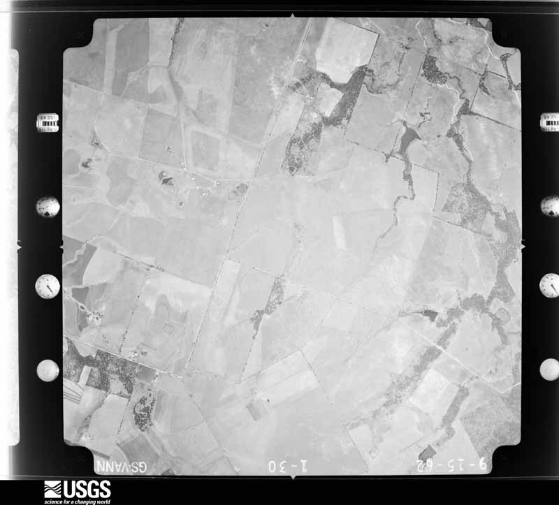
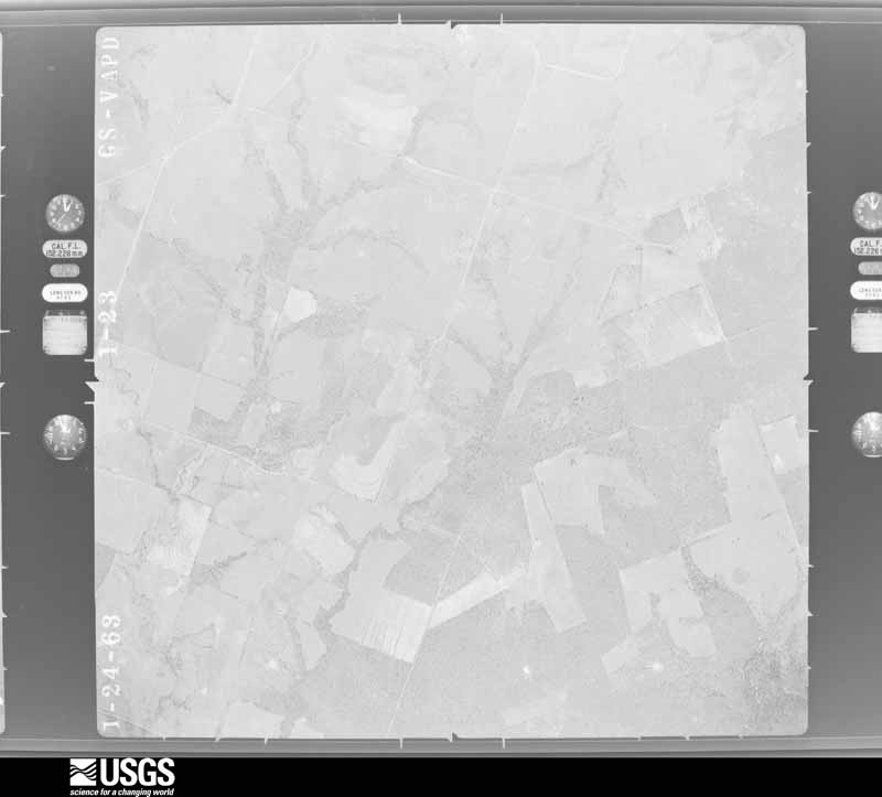
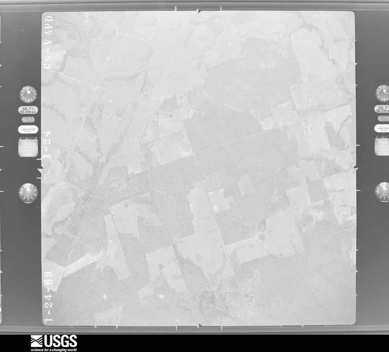
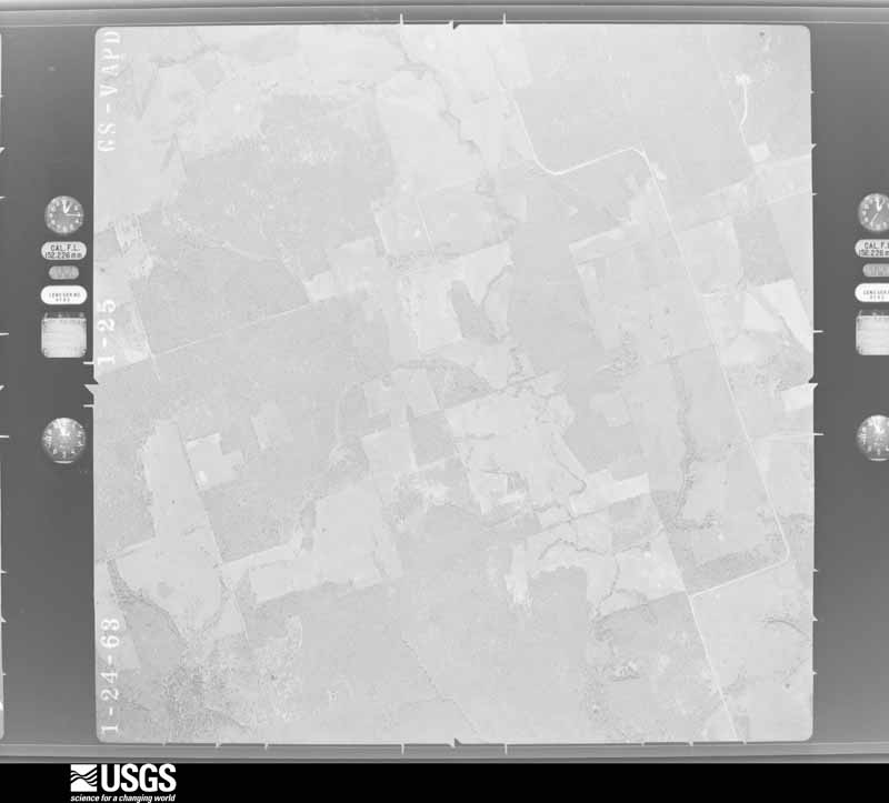
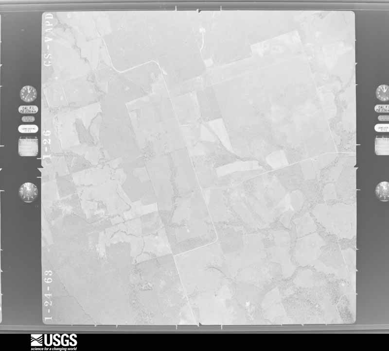
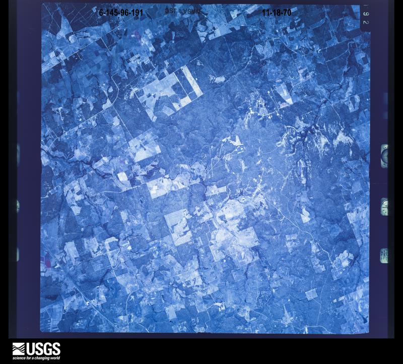
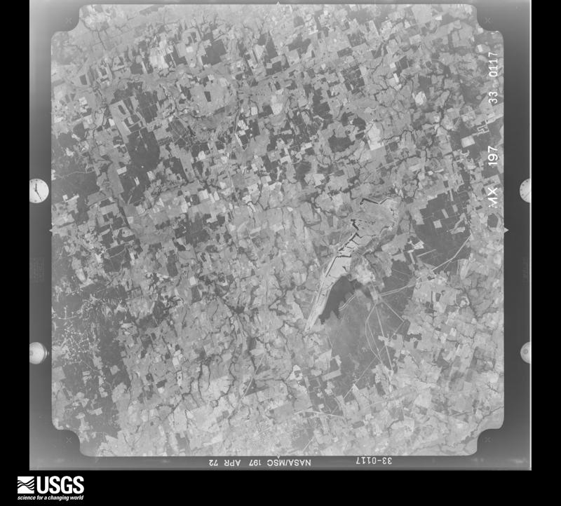
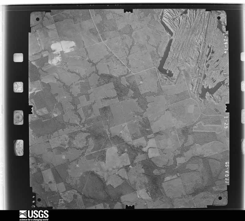
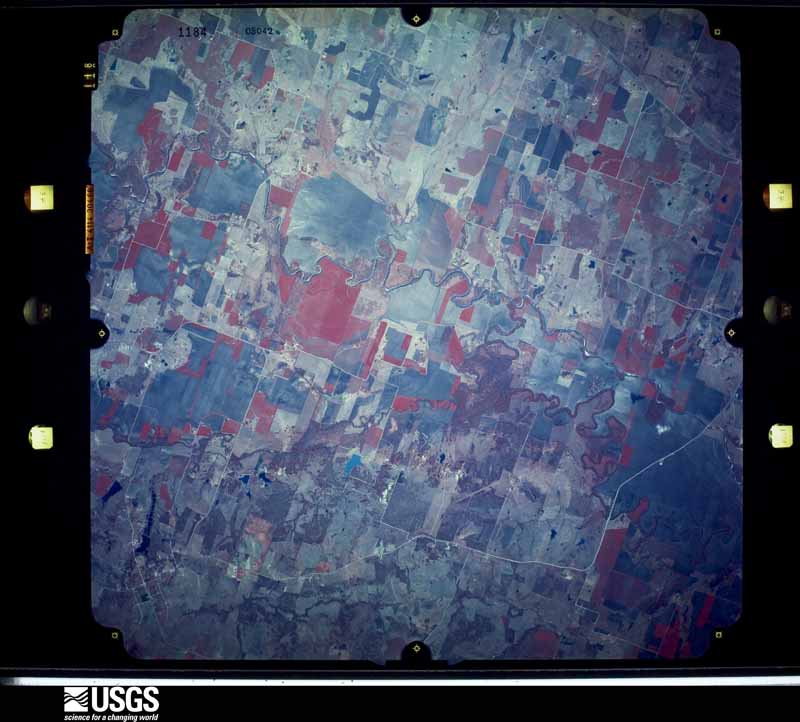
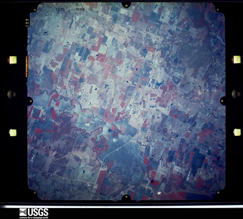
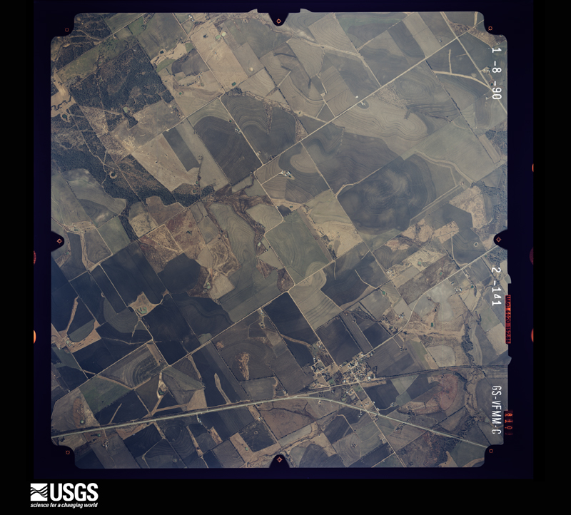
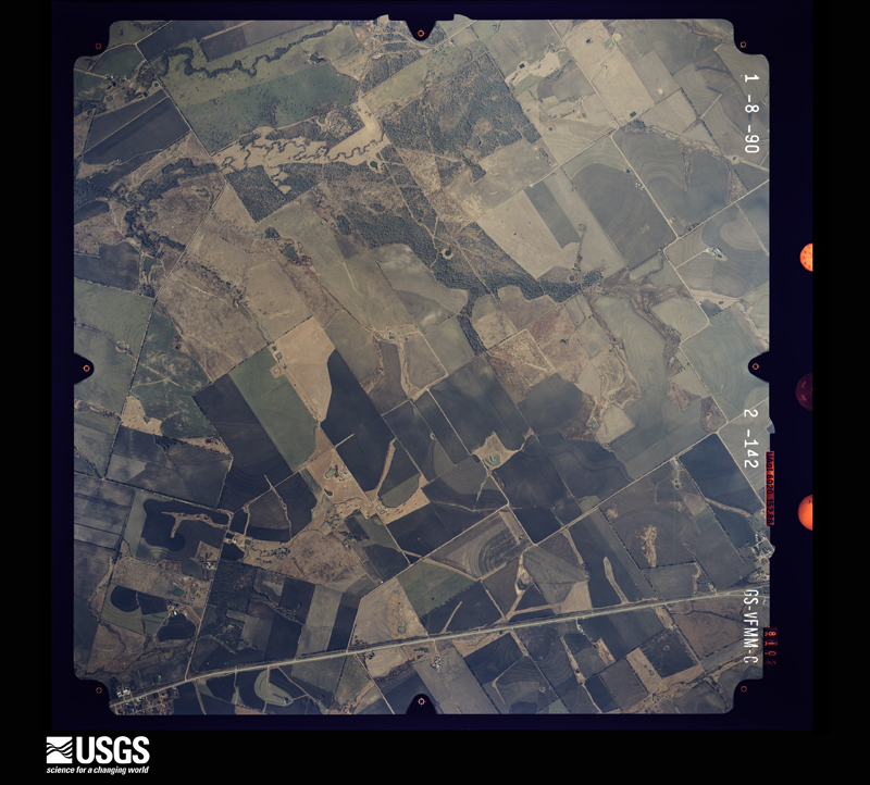
Flown by the U.S. Geological Survey between 1937 and 1989, the Aerial Photo Single Frames collection is the definitive mid-century view of the land: fields, roads and rivers as the camera saw them. The Survey holds 1,807 frames inside the rectangle that bounds this county; the 48 frames below were taken over the county itself, chosen across the decades of flights (at most four a year from that rectangle), so one flight cannot crowd out the rest. The full set is free to browse and download at EarthExplorer under the dataset Aerial Photo Single Frames.
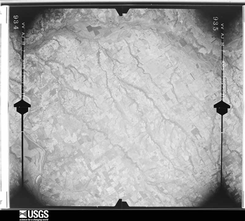

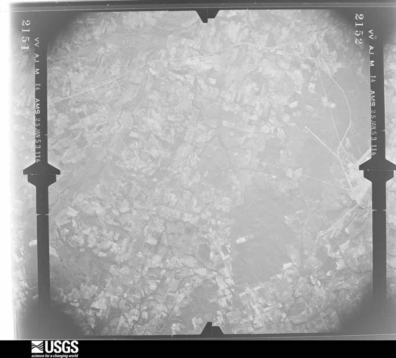
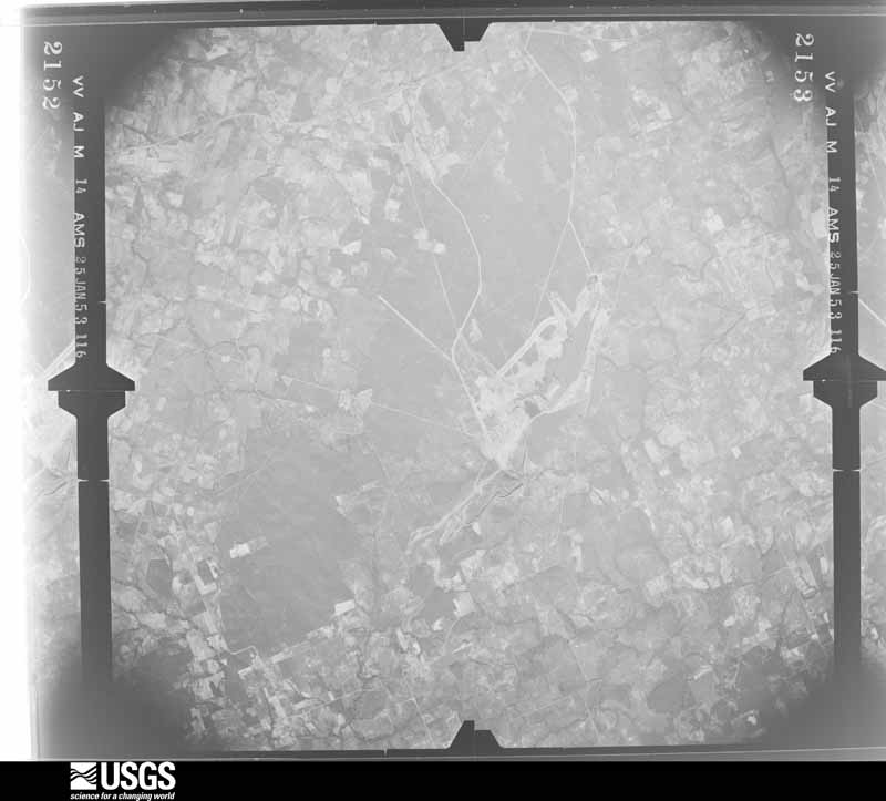
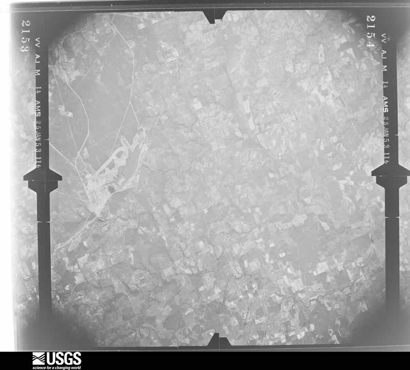
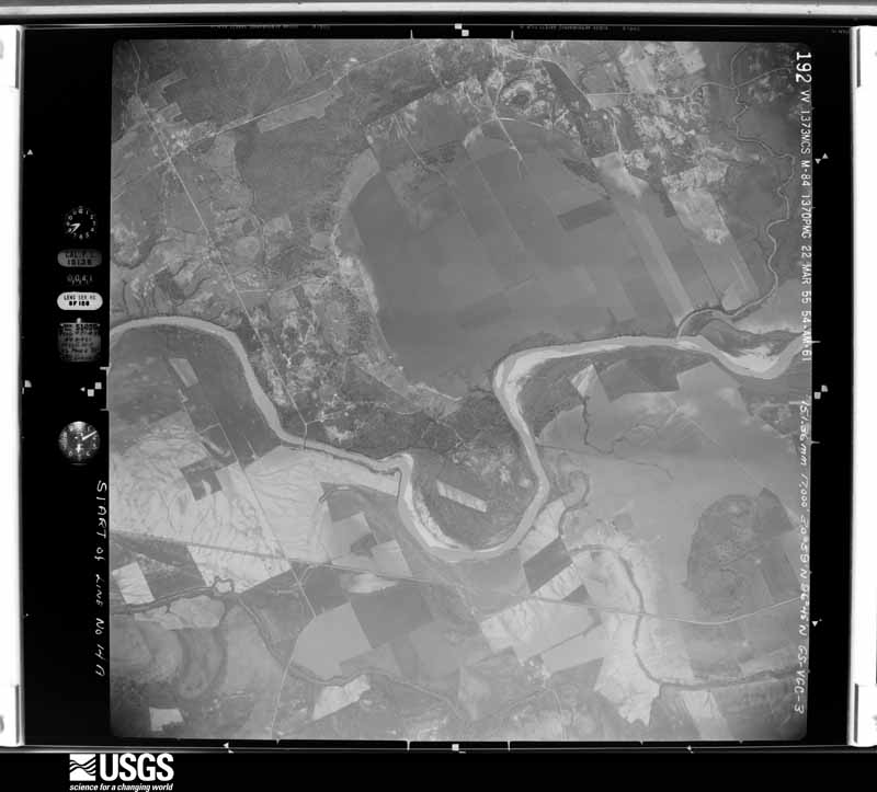
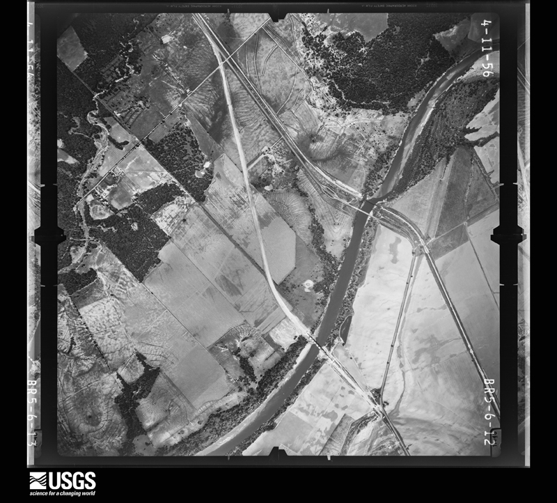
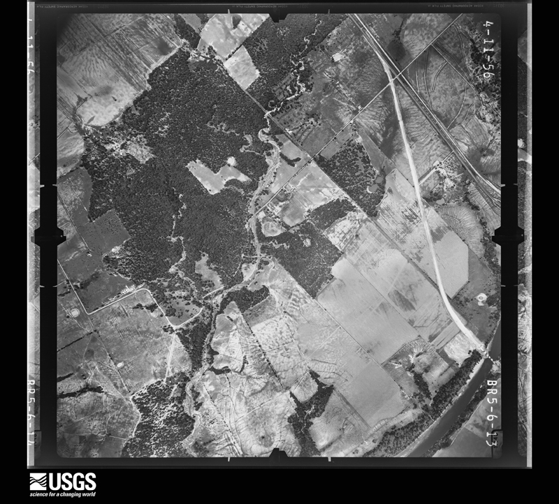
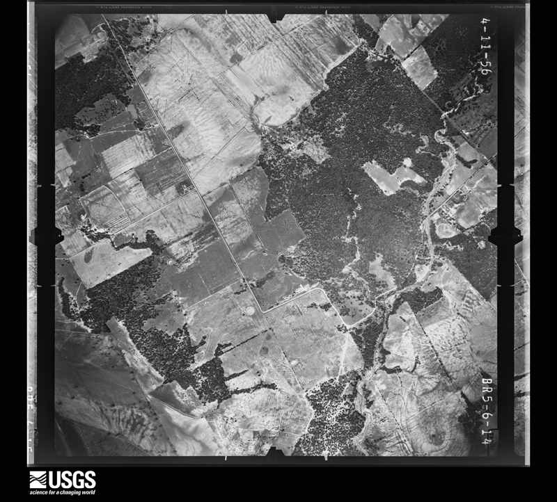
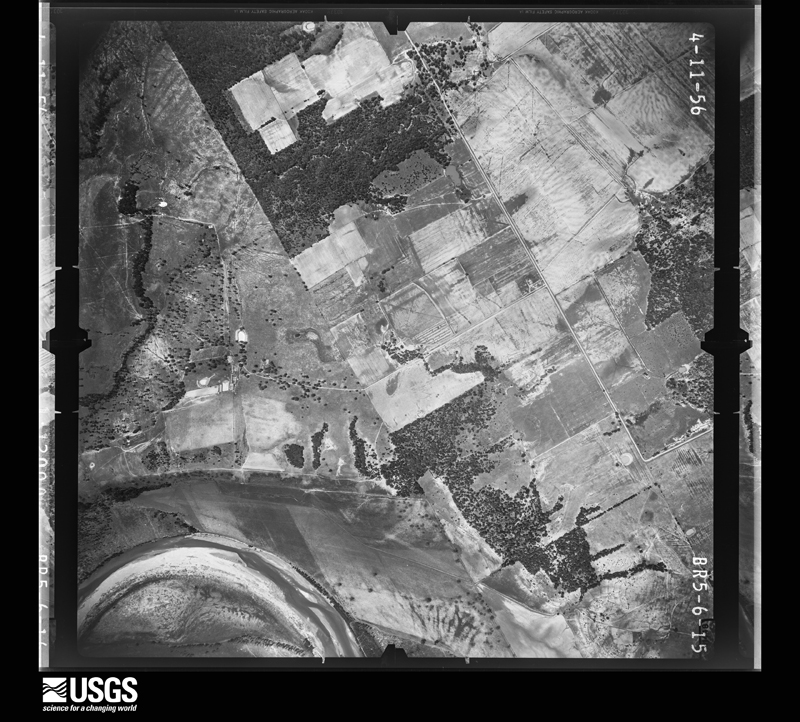
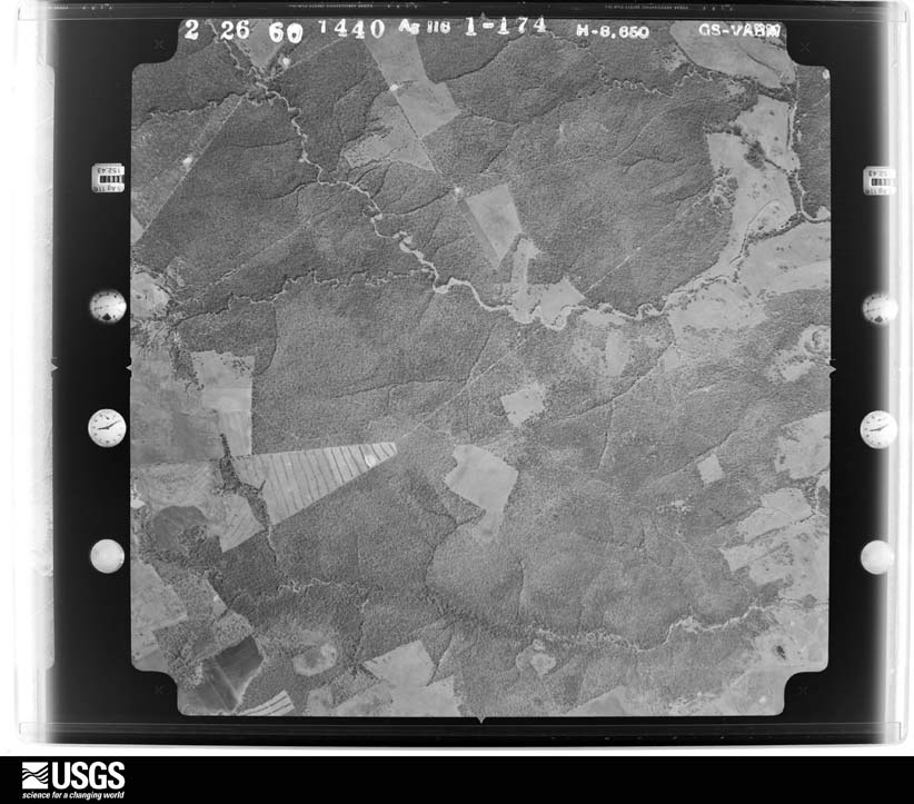
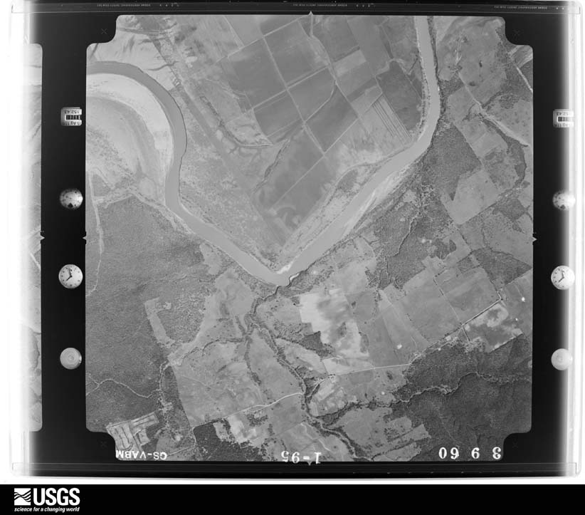
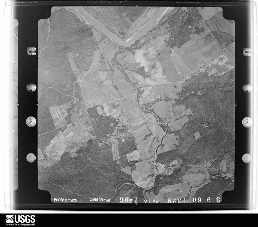










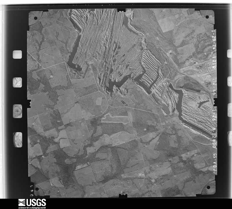
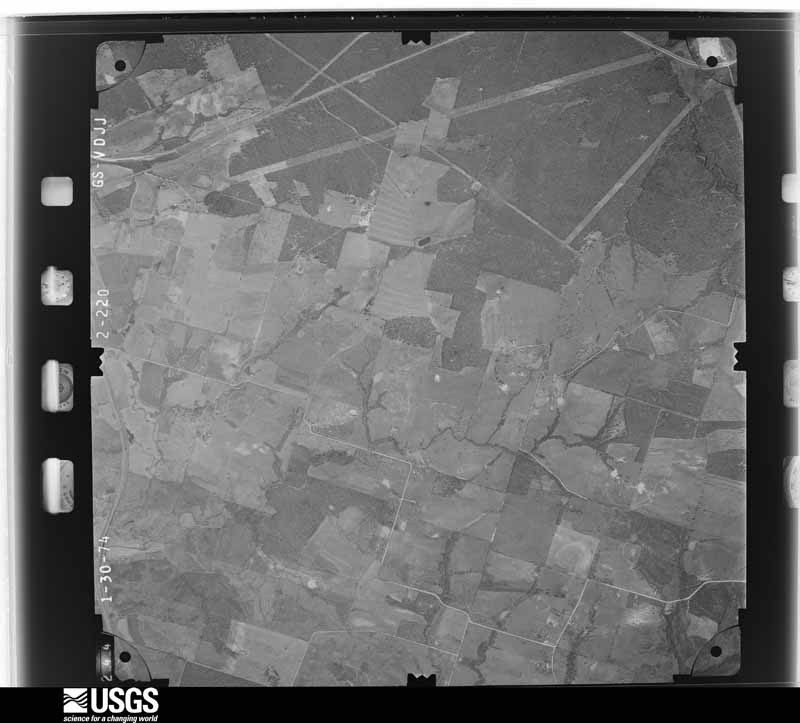
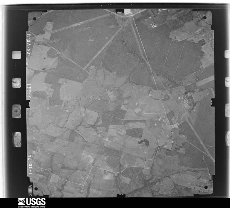
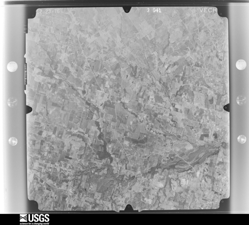




The thermometers that kept this county's weather, and the gages that measured the flow of its streams, as the federal records hold them. The extremes below are measured values from those records, not estimates.
Who lived here in 1950, one enumeration district at a time, as the Census Bureau described each district. Each row opens its official National Archives result, with Population Schedules and ED Maps available there.
Every wildfire the federal occurrence database records inside this county: 571 of them, burning about 6,623 acres. 9 started naturally and 8 were recorded as arson. Each settlement page carries the fires within five miles of it.
| Reported cause | Fires |
|---|---|
| Debris and open burning | 236 |
| Equipment and vehicle use | 150 |
| Missing data/not specified/undetermined | 113 |
| Smoking | 27 |
| Power generation/transmission/distribution | 13 |
| Natural | 9 |
| Arson/incendiarism | 8 |
| Misuse of fire by a minor | 6 |
| Railroad operations and maintenance | 5 |
| Recreation and ceremony | 4 |
The five largest, by the area the report gives. None of them was recorded as arson.
| Date | Cause | Size | Reported by | Name on the report |
|---|---|---|---|---|
| 9 May 2011 | Equipment and vehicle use | 400 acres | Texas A & M Forest Service | WILLIE FIRE |
| 10 December 2005 | Debris and open burning | 300 acres | Texas A & M Forest Service | not named |
| 4 September 2000 | Missing data/not specified/undetermined | 200 acres | Texas A & M Forest Service | SOUTH BRANCH - 117 |
| 20 June 2012 | Debris and open burning | 200 acres | Texas A & M Forest Service | MCGREGGOR |
| 10 June 2018 | Equipment and vehicle use | 192 acres | Texas A & M Forest Service | WOLFE FIELD |
| 10 December 2020 | Equipment and vehicle use | 152 acres | Texas A & M Forest Service | WARD |
| 6 December 2005 | Debris and open burning | 150 acres | Texas A & M Forest Service | not named |
| 13 June 2009 | Debris and open burning | 150 acres | Texas A & M Forest Service | SKINNER |
Every settlement page carries the fires within five miles of it - see the settlement index below.
The NOAA Storm Events Database holds 289 reports for this county, causing 4 deaths, 13 injuries and about $12,345,500 in recorded property damage. Each settlement page carries the reports that name it.
| Kind of event | Reports |
|---|---|
| Thunderstorm Wind | 104 |
| Hail | 82 |
| Flash Flood | 58 |
| Tornado | 25 |
| Flood | 12 |
| Heavy Rain | 5 |
| Lightning | 3 |
The most serious of them, by death, then injury, then recorded damage. The accounts are quoted exactly as the forecast office filed them.
| When | Event | Place named | Harm | What the report says |
|---|---|---|---|---|
| May 2015 | Tornado (EF2) | Pettibone | 1 killed, 6 hurt, $700,000 | A National Weather Service damage survey team found evidence of a tornado which produced EF-2 damage. The tornado first occurred near the community of Pettibone, and moved northeast across central Milam County. The tornado damaged or destroyed approximately 12 homes, mobile homes, and farm buildings. Several locations suffered tree damage as well. The tornado was strongest as it approached US 190, between Milam County roads 201 and 206. In this area, the tornado was at its widest, and affected the most buildings. |
| May 2007 | Lightning | Cameron | 1 killed, 1 hurt | Two people were struck by lightning while fishing at the edge of a pond. One was killed and the other injured. |
| June 2004 | Tornado (F1) | Maysfield | 1 killed, $15,000 | The tornado developed at approximately 605 PM, 1 mile west of Maysfield near the intersection of FM 485 and CR 249. The tornado damaged a store near this intersection, then moved slowly west,along and just south of FM 485. The most significant damage occurred along FM 485 between CR 252and FM 979. A large corrugated metal workshop on the south side of FM 485 had the roof blown into some trees, and the walls blown down. The fatality occurred in this building. Apparently the door fell on a 72 year old man, hitting him in the head and killing him. North of FM 485 and east of FM 979, a shed was damaged. |
| January 2007 | Flash Flood | Buckholts | 1 killed, $10,000 | A woman drowned after attempting to cross a flooded low-water crossing in her truck. The truck was found on January 15, but the woman's body was not located until the 18th. She was found off CR 147 near the Marak community. Water was also reported over roads near Davilla. |
| September 1992 | Tornado (F1) | not stated | 3 hurt, $25,000 | no account filed |
| May 2015 | Thunderstorm Wind | Rockdale | 1 hurt, $50,000 | The Milam County emergency manager reported a mobile home was moved off the foundation piers on Green Street in Rockdale. Several trees were blown down, as were power lines. One Rockdale resident had a large tree fall through her home and she received minor head wounds. |
| May 2016 | Flood | Cameron | 1 hurt, $30,000 | According to local news reports, a woman drove into high water on the Little River bridge in Cameron. While the heavy rain from the day before had ended hours before the incident, water remained over the roadway by 9 AM CDT on the 23rd. As the woman drove her car on the bridge, the water swept the car off of the bridge and into the river bank. The woman was rescued by Cameron Police Department and the Cameron Volunteer Fire Department and taken to the hospital in Temple with minor injuries. |
| December 1985 | Thunderstorm Wind | not stated | 1 hurt | no account filed |
| May 2004 | Flash Flood | Cameron | $2,570,000 | Significant flooding was occurring in Cameron and surrounding towns. There were reports of numerous cars in ditches. Up to 11 inches of rain fell across the county, damaging over 250 homes and businesses. |
| June 1989 | Tornado (F2) | not stated | $2,500,000 | no account filed |
| November 1987 | Tornado (F2) | not stated | $2,500,000 | no account filed |
| July 2007 | Flash Flood | Buckholts | $800,000 | Highway 77 between Burlington and Cameron, FM 485 at CR 255 near Maysfield, and Highway 190 in Cameron were all flooded by about eight inches of water. FM 485 was partially washed out. Numerous roads were closed in the Buckholtz/Cameron area including FM 1915 at Big Elm Creek, South Elm Creek, and Little River, FM 486 at Little River, and FM 1600 at Bear Creek. A dozen homes sustained water damge in Cameron, and four homes were flooded in the Thorndale-Thrall area. Four people were rescued from high water on the FM 2095 Snapdragon Bridge west of Hanover. One man refused help and elected to stay with the flooded vehicle. |
| May 1981 | Tornado (F2) | not stated | $250,000 | no account filed |
| May 1980 | Tornado (F1) | not stated | $250,000 | no account filed |
| April 1975 | Tornado (F2) | not stated | $250,000 | no account filed |
| April 1957 | Tornado | not stated | $250,000 | no account filed |
| May 1955 | Tornado (F2) | not stated | $250,000 | no account filed |
| April 1954 | Tornado (F3) | not stated | $250,000 | no account filed |
| April 2016 | Flash Flood | Yarrelton | $100,000 | Up to 8 inches of rain resulted in flash flooding in Milam County; especially in the western portions of the county along many creeks, streams and rivers. A local newspaper specifically listed road closures at the following locations: FM 1915 at Big Elm Creek and also Little River, FM 1600 at Little River, FM 2269 at Big Elm Creek, FM 285 at North Elm Creek, FM 437 at Little River and also Donahue Creek, FM 487 at San Gabriel River, FM 908 at Brushy Creek, FM 486 at Little River and also Alligator Creek. The newspaper also listed pavement damage at the following locations: FM 1915 at Lipan Creek, FM 1600 at Bear/Little Bear Creek, FM 485 at North Elm Creek. At FM 486 at Alligator Creek, a car was washed off the roadway, and the 2 occupants had to be rescued. Several other rescues were needed according to the county police chief. |
| October 2013 | Flash Flood | Davilla | $100,000 | Several county roads across the northern part of the county were impassable due to flash flooding. Heavy thunderstorms produced 3-7 of rain across the northern half of the county resulting in flash flooding. FM 2269 at Elm Creek was impassable for a few days. FM 485 at Elm Creek was closed for several weeks due to damage caused by flooding from the swollen creek. At least 3 people were rescued out of Elm Creek near FM 485. In addition, parts of FM 487 and 437 near Davilla were flooded. Damage was reported on FM 437. CR 116 was also closed because the asphalt was washed away. |
| September 2013 | Flash Flood | Rockdale | $100,000 | Water was reported up to the hood of cars approximately 2 miles west of Rockdale on US 79. Multiple streets in Rockdale were flooded, and the local newspaper reported extensive flooding at the intersections of US 79 and Childress, Meadow, and Calhoun streets. The worst flooding was at US 79 and Meadow Rd where four inches of water entered a restaurant and moved a large outside cooler about 40 yards. A trash dumpster near the restaurant was also moved. FM 908 & 487 were briefly closed during the event. In addition, a portion of Cypress Trail Loop on the western side of Rockdale was washed out. |
| May 2007 | Flash Flood | Buckholts | $100,000 | FM 437 at Cypress Creek was closed due to flooding in Buckholts, and a flooded house was evacuated in Cameron. The house and some of its contents were considered a total loss. |
| July 2007 | Flood | Rockdale | $100,000 | Ham Branch breached its banks in central Rockdale, neccesitating water rescues and evacuations. A few houses were threatened by flood waters. |
| September 2006 | Lightning | Cameron | $100,000 | Lightning struck a tree, bounced off of a propane tank and struck a house on Highway 77. The kitchen, hallway, and attic suffered the most damage from the fire. The house was considered a total loss. |
| August 2004 | Thunderstorm Wind | Cameron | $75,000 | There were numerous reports of large trees blown down onto cars, businesses, and houses, and power lines were blown down. |
| September 1996 | Tornado (F1) | Cameron | $70,000 | no account filed |
| May 2024 | Thunderstorm Wind | Maysfield | $50,000 | Thunderstorm winds damaged metal roofs in the Maysfield area along FM 485. |
| February 2012 | Flood | Lilac | $50,000 | As the water in the town of Gause continued to slowly rise, flood waters entered a few structures, including Coats Grocery and the fire station. Rising waters also caused problems in Thorndale and Rockdale. In Rockdale, a high water rescue was needed after a car got stuck on FM 908 at Brushy Creek. The rising creek flooded over the roadway. Another high water rescue was performed at the intersection of San Jacinto and Post Oak in Rockdale. Flooding also occurred at other usual locations in Rockdale; including the intersections of Highway 79 at Childress, Meadow, and Calhoun, and a low water crossing on East Belton. Other parts of Meadow and San Jacinto were flooded as well. In Thorndale, water was reported over the road in several locations along Highway 79 and flood waters severely damaged FM 486. One person had to be rescued from their vehicle on County Road 446A. Substantial flooding was also reported throughout the Brushy Creek and San Gabriel River bottomlands. |
| April 2010 | Heavy Rain | Rockdale | $50,000 | A vehicle accident at East Belton and CR 333 during a thunderstorm resulted in two injuries and extensive damage to the vehicles. |
| April 2008 | Hail | Rockdale | $50,000 | Baseball-size hail fell in Rockdale breaking windows and damaging cars. |
| May 1994 | Hail | Cameron | $50,000 | Thunderstorm produced golf ball-sized hail for over 20 minutes in Cameron. Minor damage to crops in the form of shredded leaves was indicated, with most of the damage to grain and sorghum crops. Damage was indicated to roofs and to windows of homes and vehicles. |
| May 1995 | Hail | Rockdale | $40,000 | Golf ball to baseball-size hail broke windows and damaged automobiles and roofs. |
| May 2007 | Flash Flood | Thorndale | $35,000 | Several houses flooded in town. |
| March 2022 | Tornado (EF1) | Edgeworth | $30,000 | New damage reports received from Milam County Emergency Management confirmed a tornado occurred near the city of South Elm in northwest Milam County. The tornado likely developed in an open field between CR 116 and FM 1915. It then snapped two wooden electrical transmission line poles near FM 1915. As the tornado continued northeast, it snapped a tree in half and severely damaged the roof of a barn, ripping most of the aluminum roof structure off the walls. It crossed FM 1915 one more time, blew out the walls of a barn and tore off a significant amount of shingles from the roof of a home. The damage is consistent with an EF1 tornado with max winds of 110 mph. |
| April 2022 | Hail | Burlington | $25,000 | A public report indicated 2 inch diameter hail about 4 miles south-southwest of Rosebud, TX. |
| September 1977 | Tornado (F0) | not stated | $25,000 | no account filed |
| January 1973 | Tornado (F1) | not stated | $25,000 | no account filed |
| November 1973 | Tornado (F1) | not stated | $25,000 | no account filed |
| May 2025 | Tornado (EF0) | Cameron | $20,000 | An EF-0 tornado formed southeast of Cameron approximately at the State Highway 36 bridge over the Little River. Substantial tree damage was noted in this vicinity, as well as some minor outbuilding damage. The tornado moved northeast, producing intermittent tree damage and light outbuilding damage as it paralleled Milam County Road 229 for a couple of miles before crossing County Roads 228 and 227. The tornado continued northeast beyond CR 227, producing additional damage to large tree branches and trunks. Some isolated damage to a recreational vehicle and some outbuildings also occurred along this eastern portion of the track. The tornado eventually reached FM 485 near its intersection with Hart Creek in eastern Milam County. The tornado dissipated in an open field immediately east of FM 485. Damage along the entire length of the track was consistent with estimated windspeeds of 65 to 75 mph, with a small number of trees exhibiting damage consistent with slightly higher EF-0 speeds of 75 to 85 mph. |
| June 2012 | Thunderstorm Wind | Cameron Muni Arpt | $20,000 | The automated weather station at the Cameron Municipal Airpark (KT35) recorded a 58 mph wind gust. Several trees and power lines were blown down in the city. The newspaper also reported that some metal roofs were damaged and the roof of a historic, two-story building at US 79 and FM 908 was partially torn off. |
| February 2012 | Flash Flood | Gause | $20,000 | Parts of Highway 79 around the town of Gause were closed due to high water. Several people in vehicles got stuck along the highway around Gause, and some people were forced to spend the night in Gause. The water was reported to be waist deep at Highway 79 and FM 2095, where one person had to be helped to safety. |
| September 2009 | Flash Flood | Gause | $20,000 | Widespread flooding was reported in Rockdale. Numerous streets were closed and Highway 79 west of Rockdale was closed due to high water. High water was also reported in parts of Milano and Cameron. FM 1915 at Big Elm Creek and FM 486 at the Little River had to be closed. Other county roads that were closed at some point during this time were CRs 119, 120, 147, 203, 230, 335, 402, 405, 408, 412, and 414. |
| September 2009 | Flood | Davilla | $20,000 | Residual flooding of County Roads and numerous roads in the city of Rockdale continued until the late evening hours. Many roads remains closed throughout the day. |
| June 2010 | Thunderstorm Wind | Thorndale | $15,000 | Several trees were blown down due to high winds in Thorndale. Several power lines were also knocked down after the trees fell on the lines. |
| February 2009 | Thunderstorm Wind | Hoyte | $15,000 | Some roofs were torn off on County Road 241, power lines were down, and a propane tank was blown over. |
| June 2023 | Thunderstorm Wind | Cameron | $12,000 | Thunderstorm winds damaged a few commercial signs and caused roof damage at a storage facility in the City of Cameron. There was also debris from trees scattered throughout the downtown area. |
| April 2004 | Thunderstorm Wind | Buckholts | $12,000 | Occurred in the community of Davilla. Several mobile homes were unroofed and trees were uprooted. |
| June 2023 | Thunderstorm Wind | Baileyville | $10,000 | A solar farm near Baileyville suffered damage to some solar panels, and trees were reported down in the same area. |
| April 2022 | Thunderstorm Wind | Cross Rds | $10,000 | A tree fell on a home on FM 979. |
| April 2019 | Hail | Rockdale | $10,000 | A trained spotter reported golf ball size hail in the city of Rockdale, TX. |
| April 2019 | Tornado (EF0) | San Gabriel | $10,000 | Am EF-0 tornado occurred in the city of San Gabriel, TX, damaging a business, a church, and a few sheds. Several trees were also damaged in the area. The tornado was on the ground for approximately 0.31 of a mile with a maximum width of 150 yards. |
| May 2016 | Flood | Val Verde | $10,000 | The son of a volunteer firefighter was saved by helicopter during a high water rescue on Donahoe Creek at FM 402 near the town of Davilla, TX. |
| September 2009 | Flash Flood | Davilla | $10,000 | The Sheriff's Office reported that numerous county roads across the county were closed due to high water. |
| March 2007 | Flash Flood | Buckholts | $10,000 | Several high water rescues were required. A truck was washed off a bridge near Marak; the occupants were able to escape through the windows of the truck. One of the men got to safety immediately, and another was carried downstream and was later found safe clinging to a tree. Two hog hunters had to be rescued when they were stranded by rising water near Pond Creek. No injuries were reported. |
| May 2007 | Flood | Cameron | $10,000 | Several roads remained flooded and closed from earlier rains, including FM 1915 at Big Elm Creek, FM 1915 at Little River, CR 143, 147, 119, 120, and 240; FM 486 at Little River, FM 487 at San Gabriel River, and FM 908 at Brushy Creek; CR 407 at Clay's Creek, and CR 443 at Turkey Creek north of Thorndale. The culvert on CR 330 in Milano was washed out. |
| June 2007 | Flash Flood | Burlington | $10,000 | FM 437 near the Bell County line was partially washed out and closed. Numerous other roads were also closed due to high water. |
| May 2006 | Thunderstorm Wind | Countywide | $10,000 | Trees and power lines down across the county. |
| October 2001 | Thunderstorm Wind | Rockdale | $10,000 | Trees and power lines were blown down all over town. There was secondary damage from trees falling on houses and cars. |
| August 1997 | Thunderstorm Wind | Branchville | $10,000 | Strong winds blew down trees and destroyed a barn. |
| December 1997 | Thunderstorm Wind | Rockdale | $10,000 | Strong winds damaged a home. |
The Survey's mineral resources record lists 1 working inside this county. It still produces. Each settlement page carries the workings within five miles of it.
| Commodity | Workings |
|---|---|
| Aluminum, Contained or Metal | 1 |
The least common of them first, because a county's hundredth gravel pit says nothing its first ten did not.
| Where | Site | Commodity | Status | Recorded |
|---|---|---|---|---|
| (Facility) Rockdale Aluminum Smelter | Aluminum, Contained or Metal | Plant | 1952 |
Named settlements recorded in the Geographic Names Information System, each with the topographic sheets covering it. Villages, hamlets and abandoned places alike. Each is shown with the nearest named watercourse or landform and the survey quadrangle it falls on.
Burlington census division · 76520 · On Terry Branch · Ben Arnold quadrangle
7 sheets, 1954 to 1993
Davilla census division · 76518 · Near Sanpier Hollow · Sharp quadrangle
17 sheets, 1885 to 1985
Gause-Milano census division · 76556 · On Hammond Branch · Milano quadrangle
8 sheets, 1954 to 1993
Gause-Milano census division · 77857 · Near Wilson Hill · Hanover quadrangle
7 sheets, 1954 to 1993
Burlington census division · 76520 · On Jones Creek · Maysfield quadrangle
7 sheets, 1954 to 1993
Thorndale census division · 76567 · On Rocky Creek · San Gabriel quadrangle
14 sheets, 1885 to 1985
Buckholts census division · 76518 · On South Elm Creek · Yarrelton quadrangle
14 sheets, 1885 to 1985
Burlington census division · 76520 · On String Prairie Branch · Maysfield quadrangle
7 sheets, 1954 to 1993
Rockdale census division · 76567 · On Sanders Branch · Cameron quadrangle
8 sheets, 1954 to 1993
Gause-Milano census division · On Taylor Branch · Gause quadrangle
7 sheets, 1954 to 1993
No longer a settlement
Buckholts census division · 76518 · Near Dry Hollow · Yarrelton quadrangle
14 sheets, 1885 to 1985
Burlington census division · 76520 · Calvert quadrangle
8 sheets, 1954 to 1993
No longer a settlement
Rockdale census division · 76567 · On Little Ham Branch · Rockdale West quadrangle
15 sheets, 1885 to 1985
Rockdale census division · 76567 · On West Ham Branch · Rockdale West quadrangle
15 sheets, 1885 to 1985
Davilla census division · 76577 · On Pecan Creek · San Gabriel quadrangle
14 sheets, 1885 to 1985
Burlington census division · 76520 · On Terry Branch · Ben Arnold quadrangle
7 sheets, 1954 to 1993
Burlington census division · 76520 · On North Elm Creek · Ben Arnold quadrangle
7 sheets, 1954 to 1993
Thorndale census division · 76577 · On Berry Branch · Thorndale quadrangle
14 sheets, 1885 to 1985
Davilla census division · 76518 · On Mill Branch · Sharp quadrangle
17 sheets, 1885 to 1985
The vanished settlements of Milam County: the places named above that are no longer on the map.