 Block
BlockFrom the record
3 National Register listings published here.
Sources: the National Register database, National Park Service
68 topographic sheets cover 23 settlements here, and 3 properties are on the National Register of Historic Places.
3 National Register listings published here.
Sources: the National Register database, National Park Service
Every property in this county listed on the National Register of Historic Places, with the year it was listed and the federal nomination document.
| Photograph | Property | Type | Listed | Reference |
|---|---|---|---|---|
 | Mills County Courthouse | building | 2000 | 00001359 |
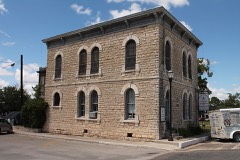 | Mills County Jailhouse | building | 1979 | 79002994 |
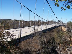 | Regency Suspension Bridge | structure | 1976 | 76002052 |
Drawn when these were printed as single large sheets: the town seen from the air, and the county divided into its farms with every owner named. Each opens the original at the Library of Congress.
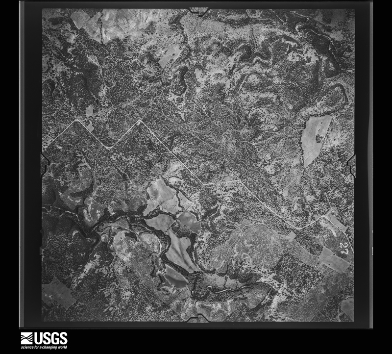
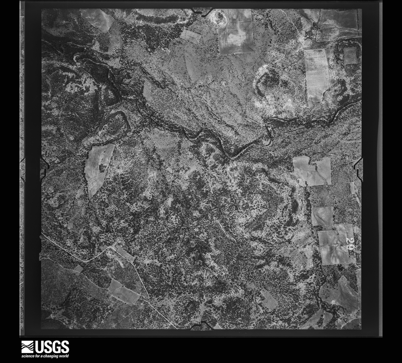
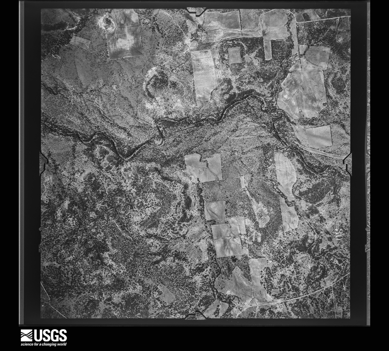
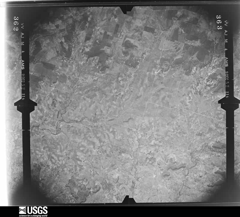
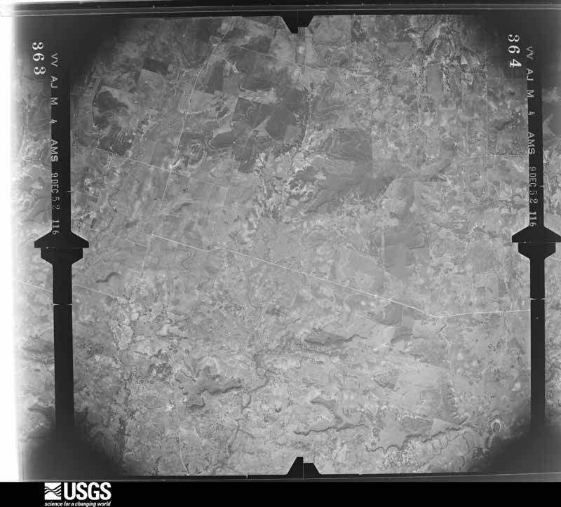
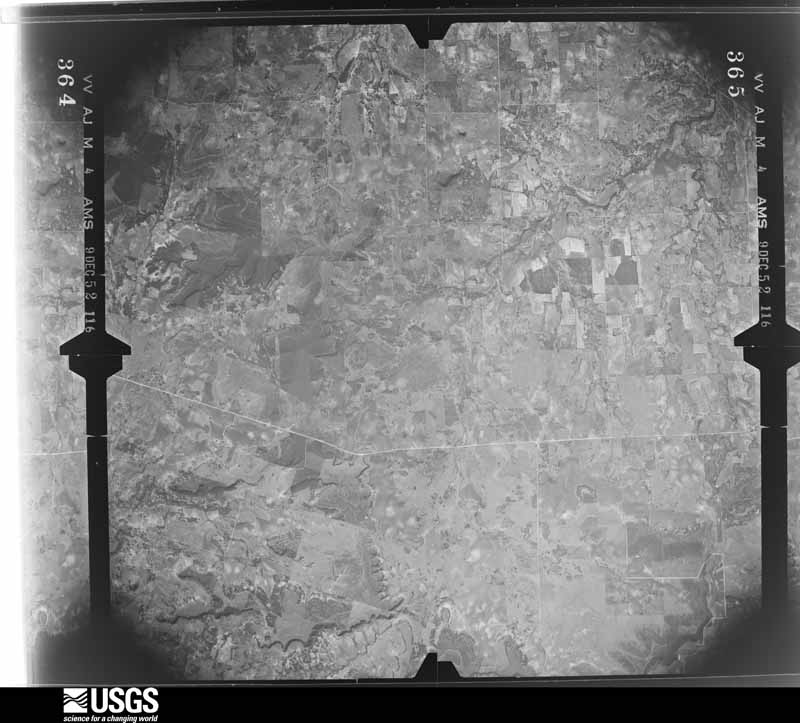
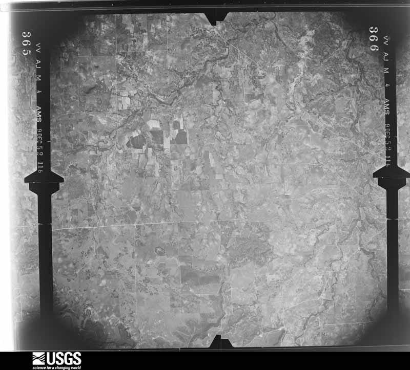
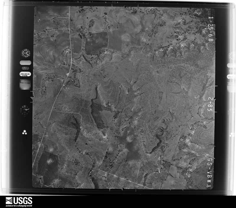
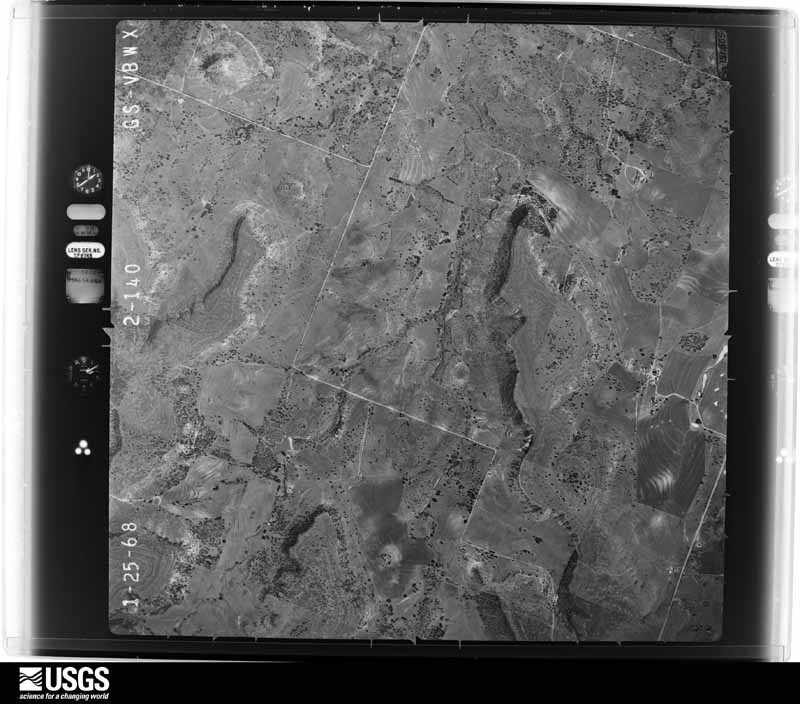
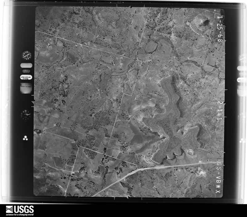
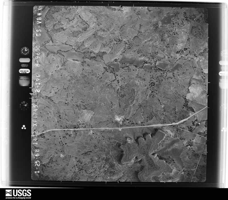
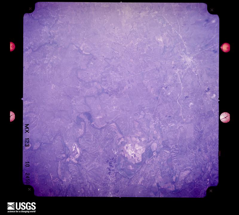
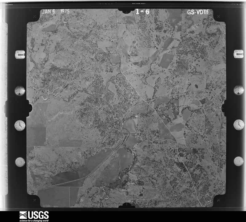
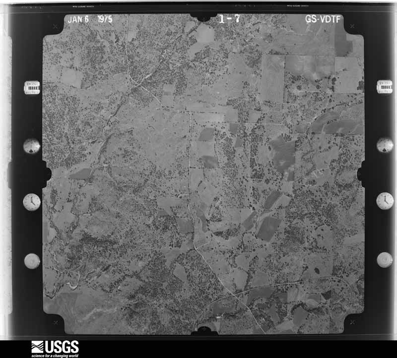
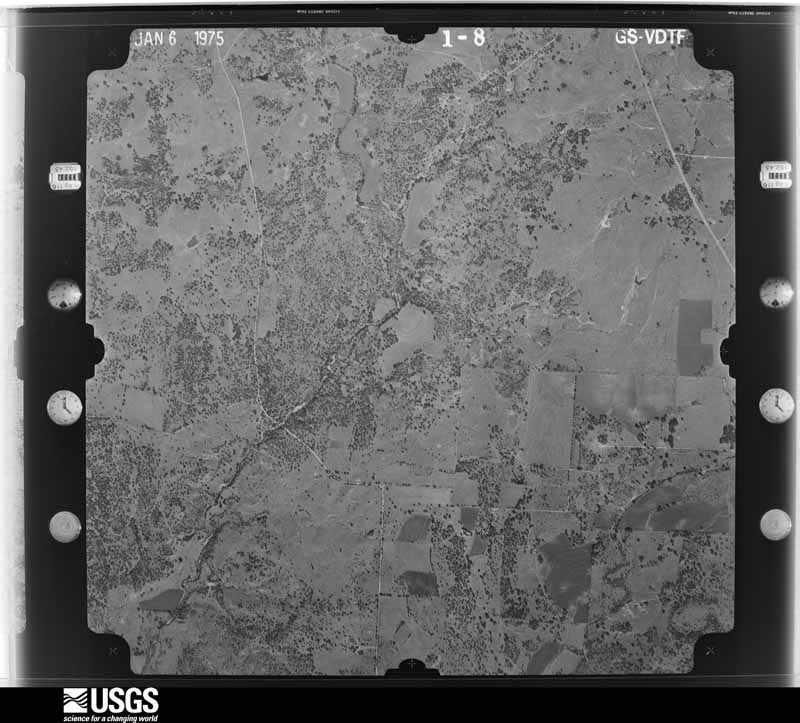
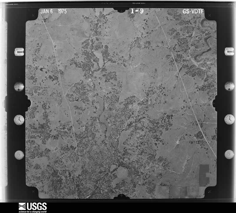
Flown by the U.S. Geological Survey between 1937 and 1989, the Aerial Photo Single Frames collection is the definitive mid-century view of the land: fields, roads and rivers as the camera saw them. The Survey holds 652 frames inside the rectangle that bounds this county; the 20 frames below were taken over the county itself, chosen across the decades of flights (at most four a year from that rectangle), so one flight cannot crowd out the rest. The full set is free to browse and download at EarthExplorer under the dataset Aerial Photo Single Frames.




The thermometers that kept this county's weather, and the gages that measured the flow of its streams, as the federal records hold them. The extremes below are measured values from those records, not estimates.
Who lived here in 1950, one enumeration district at a time, as the Census Bureau described each district. Each row opens its official National Archives result, with Population Schedules and ED Maps available there.
Every wildfire the federal occurrence database records inside this county: 153 of them, burning about 13,974 acres. 7 started naturally and 5 were recorded as arson. Each settlement page carries the fires within five miles of it.
| Reported cause | Fires |
|---|---|
| Debris and open burning | 45 |
| Missing data/not specified/undetermined | 42 |
| Equipment and vehicle use | 40 |
| Natural | 7 |
| Recreation and ceremony | 5 |
| Arson/incendiarism | 5 |
| Power generation/transmission/distribution | 3 |
| Smoking | 3 |
| Other causes | 1 |
| Railroad operations and maintenance | 1 |
| Misuse of fire by a minor | 1 |
The five largest, by the area the report gives. None of them was recorded as arson.
| Date | Cause | Size | Reported by | Name on the report |
|---|---|---|---|---|
| 11 July 2020 | Other causes | 3,507 acres | Texas A & M Forest Service | BUFFALO CREEK |
| 5 August 2011 | Equipment and vehicle use | 1,701 acres | Texas A & M Forest Service | CENTER CITY FIRE |
| 23 July 2018 | Equipment and vehicle use | 1,466 acres | Texas A & M Forest Service | FM 2005 |
| 6 March 2011 | Misuse of fire by a minor | 1,000 acres | Texas A & M Forest Service | KYLE RANCH |
| 24 June 2018 | Natural | 771 acres | Texas A & M Forest Service | CR 402 |
| 24 June 2018 | Missing data/not specified/undetermined | 500 acres | Texas A & M Forest Service | GRASS FIRE ON CR 418 |
| 14 June 2008 | Missing data/not specified/undetermined | 400 acres | Texas A & M Forest Service | STONE CREEK |
| 17 July 2018 | Equipment and vehicle use | 345 acres | Texas A & M Forest Service | 412 |
Every settlement page carries the fires within five miles of it - see the settlement index below.
The NOAA Storm Events Database holds 220 reports for this county, causing no deaths, 1 injury and about $2,780,000 in recorded property damage. Each settlement page carries the reports that name it.
| Kind of event | Reports |
|---|---|
| Hail | 127 |
| Thunderstorm Wind | 46 |
| Flash Flood | 30 |
| Tornado | 14 |
| Lightning | 2 |
| Flood | 1 |
The most serious of them, by death, then injury, then recorded damage. The accounts are quoted exactly as the forecast office filed them.
| When | Event | Place named | Harm | What the report says |
|---|---|---|---|---|
| June 2009 | Lightning | Caradan | 1 hurt | A Caradan man was struck by lightning that hit a nearby television pole, traveled through the ground and up his body. He was hospitalized for approximately 24 hours but not seriously injured. |
| February 1997 | Flash Flood | Goldthwaite | $2,000,000 | no account filed |
| May 2023 | Hail | Democrat | $100,000 | no account filed |
| May 2024 | Flash Flood | Goldthwaite Mills Ar | $50,000 | BNSF Railroad reported on their radio frequency that there was a track washout in the Goldthwaite area. |
| October 1993 | Hail | Priddy | $50,000 | Roof damage was reported to a school from large hail. |
| May 2013 | Hail | Caradan | $40,000 | Trained spotters reported hail to the size of baseballs in the city of Caradan. |
| January 1998 | Tornado (F1) | Goldthwaite | $40,000 | A tornado severely damaged a mobile home. |
| April 2014 | Hail | Castor | $30,000 | There were several broadcast media reports of golf ball sized hail near the community of Castor, in Mills County. |
| March 2004 | Thunderstorm Wind | Goldthwaite | $30,000 | A mobile home was damaged by high winds and there were numerous reports of barns destroyed. |
| April 2011 | Thunderstorm Wind | Priddy | $25,000 | The combination of 70 mph winds and golfball sized hail resulted in several windows blown out of houses, minor roof damage and several trees blown over near Priddy. |
| June 2009 | Thunderstorm Wind | Priddy | $25,000 | Roof damage was observed on multiple homes in Priddy. |
| April 1991 | Tornado (F0) | not stated | $25,000 | no account filed |
| May 1982 | Tornado (F2) | not stated | $25,000 | no account filed |
| May 1982 | Tornado (F2) | not stated | $25,000 | no account filed |
| April 1978 | Tornado (F1) | not stated | $25,000 | no account filed |
| May 1975 | Tornado (F0) | not stated | $25,000 | no account filed |
| June 2009 | Thunderstorm Wind | Democrat | $20,000 | Widespread property and tree damage was reported across the county. Several power outages also occurred. |
| May 2007 | Thunderstorm Wind | Star | $20,000 | Several trees and large branches downed. A large oak tree fell on a house, damaging the roof. |
| June 2003 | Lightning | Goldthwaite | $20,000 | 27 goats and some cows were killed by lightning. |
| May 2006 | Flash Flood | Mullin | $15,000 | A house was flooded with at least one to two feet of water in it. |
| June 2023 | Hail | Goldthwaite | $10,000 | Golf ball to 2 hail was reported from south of Goldthwaite east along CR 306. Some windows were broken south of Goldthwaite on Hwy 183. |
| June 2023 | Hail | Center City | $10,000 | Baseball sized hail was reported west of Center City. |
| March 2021 | Hail | Goldthwaite | $10,000 | Golf ball size hail was reported at Goldthwaite High School. |
| May 2011 | Hail | Goldthwaite | $10,000 | Golfball sized hail fell in Goldthwaite. The hail broke glass windows at the Mills County Courthouse, damaged skylights at the elementary school, and dented cars. |
| May 2006 | Hail | Mullin | $10,000 | no account filed |
| May 2006 | Hail | Goldthwaite | $10,000 | no account filed |
| May 2024 | Hail | Castor | $8,000 | Public reported golf ball sized hail around 4 miles south of Goldthwaite. |
| April 2014 | Hail | Goldthwaite | $8,000 | Mills County sheriff's deputies reported golf ball sized hail approximately four miles south of Goldthwaite. |
| May 2024 | Hail | Goldthwaite Mills Ar | $7,000 | A trained spotter reported golf ball size hail in the Goldthwaite area. |
| April 2024 | Hail | Center City | $7,000 | A social media image indicated golf ball sized hail in eastern Mills County. |
| September 2009 | Thunderstorm Wind | Castor | $7,000 | Part of the metal roof of a manufactured home on CR 411 south of Goldthwaite was peeled back. The beams were also lifted off with the sheet of metal. |
| May 2016 | Hail | Priddy | $5,000 | A public report estimated 2-inch diameter hail near the intersection of State Highway 16 and County Road 262. |
| May 2016 | Hail | Priddy | $5,000 | A public report estimated 2-inch diameter hail near the intersection of State Highway 16 and County Road 262. |
| June 2011 | Thunderstorm Wind | Goldthwaite | $5,000 | A house suffered roof damage west of Goldthwaite. |
| May 2010 | Hail | Goldthwaite | $5,000 | Goldthwaite police officers reported golfball sized hail on highway 183 south of town. |
| June 2009 | Thunderstorm Wind | Priddy | $5,000 | Peak winds of 70 mph were estimated in Priddy. Large tree limbs up to 10 inches in diameter were down and other tree damage was observed. |
| February 2008 | Hail | Priddy | $5,000 | Golfball-size was reported approximately two-and-a-half miles west of Priddy and just south of Democrat. |
| March 2002 | Thunderstorm Wind | Mullin | $5,000 | Trees were blown down by high winds. |
| April 1999 | Tornado (F0) | Goldthwaite | $5,000 | Large trees were uprooted and small buildings were destoryed by a brief tornado. |
| May 1994 | Thunderstorm Wind | Priddy | $5,000 | Trees were blown across a road by thunderstorm winds. |
| June 2023 | Hail | Goldthwaite | $5,000 | no account filed |
| June 2023 | Hail | Mullin | $5,000 | no account filed |
| June 2009 | Hail | Priddy | $3,000 | Baseball size hail fell in Priddy. |
| June 2003 | Hail | Priddy | $3,000 | Windshield damage from large hail. |
| May 1982 | Tornado (F1) | not stated | $2,500 | no account filed |
| October 1974 | Tornado (F1) | not stated | $2,500 | no account filed |
| May 2013 | Hail | Priddy | $2,000 | Golf ball sized hail was reported in, and west of, the city of Priddy. |
| April 2011 | Thunderstorm Wind | Mullin | $2,000 | Two large trees were blown down over FM 573 near Mullin. |
| June 2009 | Thunderstorm Wind | Star | $2,000 | Numerous trees were down just north of Star. |
| May 2009 | Hail | Priddy | $2,000 | Golfball size hail fell near CR 141 near the Comanche/Mills county line. |
| June 2004 | Thunderstorm Wind | Goldthwaite | $2,000 | Trees were blown down by high winds on FM 574 southwest of Goldthwaite and near Mullin. |
| March 2002 | Thunderstorm Wind | Central Portion | $2,000 | A storage shed and a tin roof were destroyed by high winds. |
| June 2002 | Thunderstorm Wind | Goldthwaite | $2,000 | Trees were blown down in town. |
| June 1998 | Thunderstorm Wind | Mullin | $2,000 | Thunderstorm winds overturned a boat dock on Lake Merritt. Thunderstorm winds also donwed large tree limbs. |
| April 2011 | Hail | Priddy | $2,000 | no account filed |
| March 1997 | Thunderstorm Wind | Goldthwaite | $2,000 | no account filed |
| March 1997 | Thunderstorm Wind | Center City | $2,000 | no account filed |
| May 2009 | Thunderstorm Wind | Priddy | $1,000 | Estimated winds of 60 mph were reported near CR 141 near the Comanche/Mills county line. |
| June 2009 | Hail | Democrat | $1,000 | Golfball size hail fell in Democrat. |
| August 2003 | Thunderstorm Wind | Star | $1,000 | Cooperative observer in Moline reported wind damage. |
Named settlements recorded in the Geographic Names Information System, each with the topographic sheets covering it. Villages, hamlets and abandoned places alike. Each is shown with the nearest named watercourse or landform and the survey quadrangle it falls on.
Goldthwaite census division · 76853 · Antelope Gap quadrangle
12 sheets, 1887 to 1985
No longer a settlement
Goldthwaite census division · 76844 · On Prescott Creek · Big Valley North quadrangle
16 sheets, 1885 to 1985
Mullin-Priddy census division · 76864 · Blanket Springs quadrangle
17 sheets, 1889 to 1985
Mullin-Priddy census division · 76864 · On Little Buffalo Creek · Bowser quadrangle
15 sheets, 1885 to 1985
Mullin-Priddy census division · 76844 · Near Huckabee Hill · Caradan quadrangle
13 sheets, 1888 to 1985
Mullin-Priddy census division · 76844 · On North Bennett Creek · Center City quadrangle
12 sheets, 1887 to 1985
Goldthwaite census division · Near Rye Valley · San Saba Peak quadrangle
15 sheets, 1885 to 1985
Mullin-Priddy census division · 76864 · On Fisk Creek · Blanket Springs quadrangle
17 sheets, 1889 to 1985
Mullin-Priddy census division · 76864 · On Little Flatrock Branch · Indian Creek quadrangle
18 sheets, 1889 to 1997
Mullin-Priddy census division · 76864 · Near Long Hollow · Mullin quadrangle
17 sheets, 1889 to 1985
Mullin-Priddy census division · 76844 · On Nesbitt Branch · Antelope Gap quadrangle
12 sheets, 1887 to 1985
Mullin-Priddy census division · 76442 · Near Becker Mountain · Priddy quadrangle
16 sheets, 1889 to 1985
Mullin-Priddy census division · 76864 · Near Round Mountain · Mullin quadrangle
17 sheets, 1889 to 1985
The vanished settlements of Mills County: the places named above that are no longer on the map.