 Block
BlockFrom the record
1 National Register listing published here.
Sources: the National Register database, National Park Service
21 topographic sheets cover 11 settlements here, and 1 property is on the National Register of Historic Places.
1 National Register listing published here.
Sources: the National Register database, National Park Service
Every property in this county listed on the National Register of Historic Places, with the year it was listed and the federal nomination document.
| Photograph | Property | Type | Listed | Reference |
|---|---|---|---|---|
 | Scott-Majors House | building | 1979 | 79002995 |
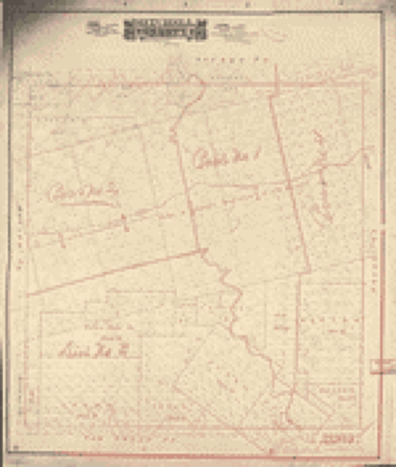
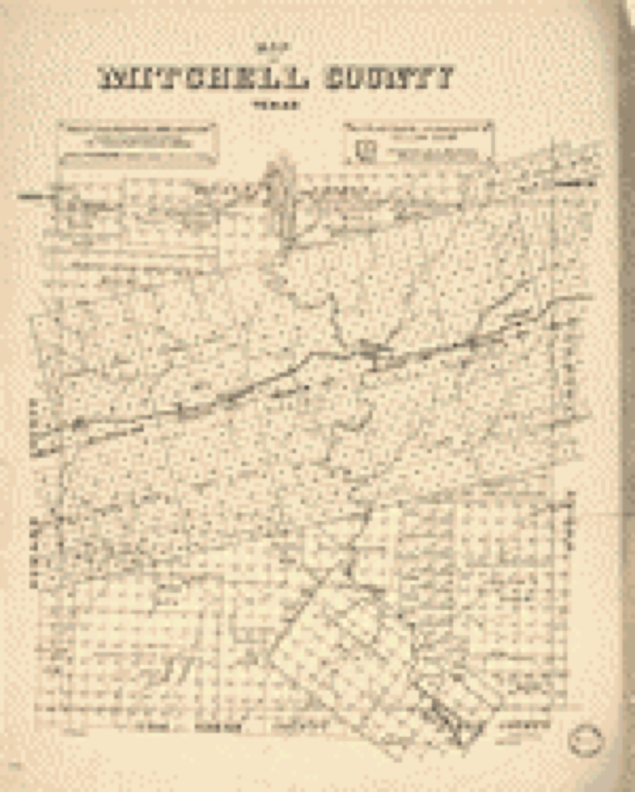
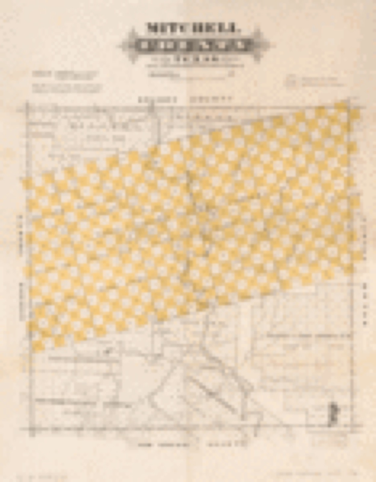
Drawn when these were printed as single large sheets: the town seen from the air, and the county divided into its farms with every owner named. Each opens the original at the Library of Congress.
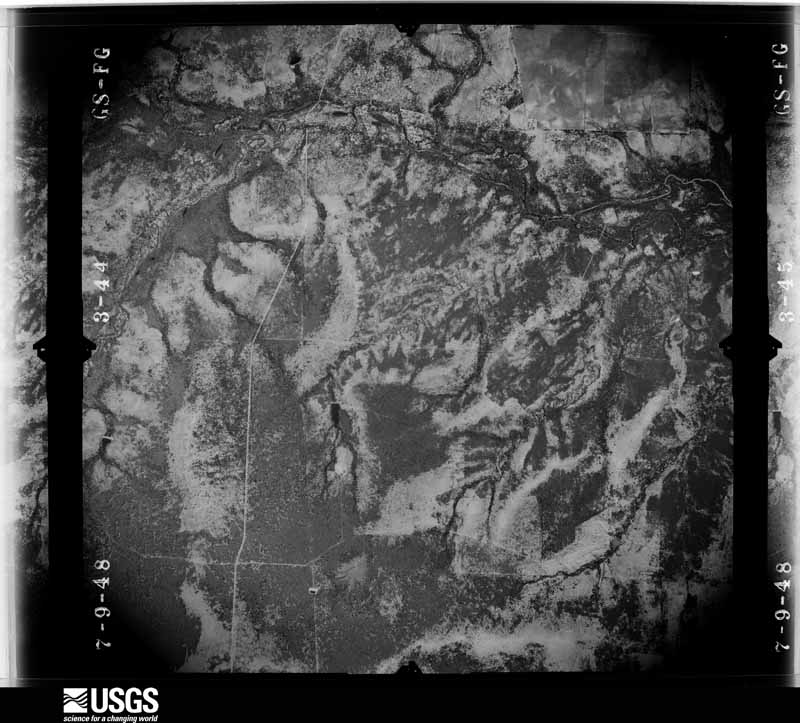
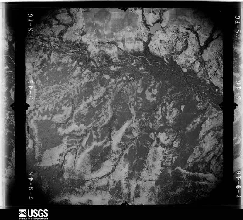
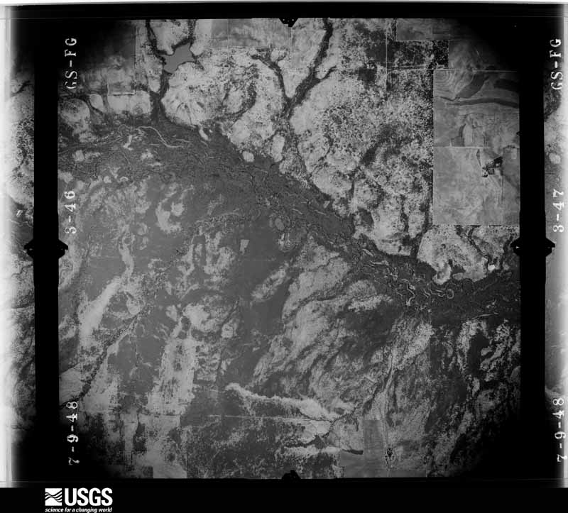
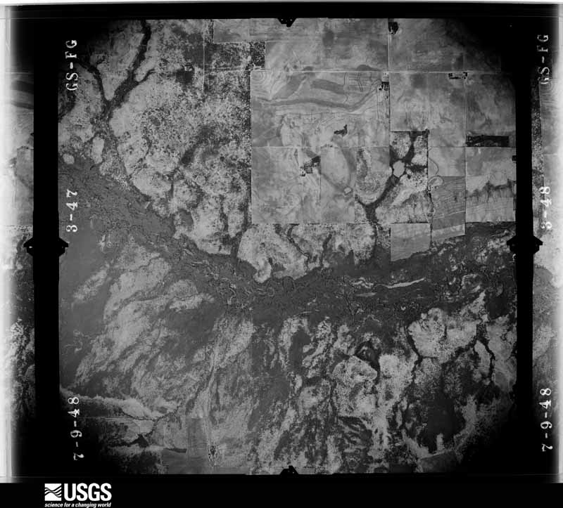
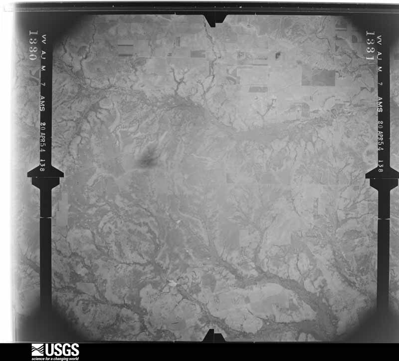
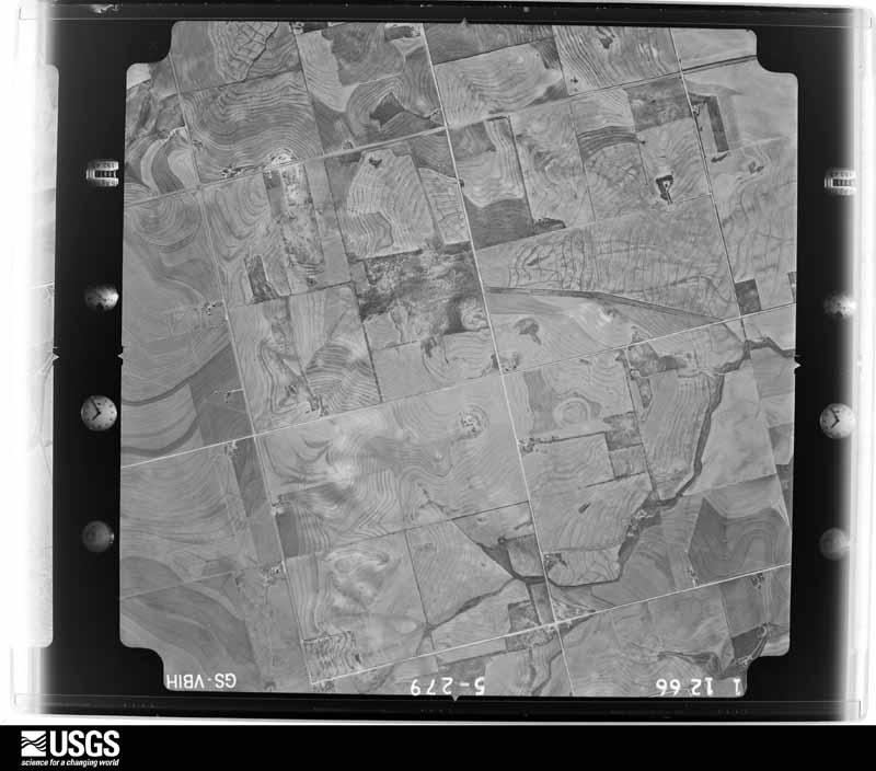
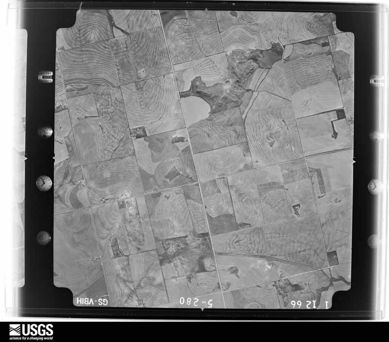
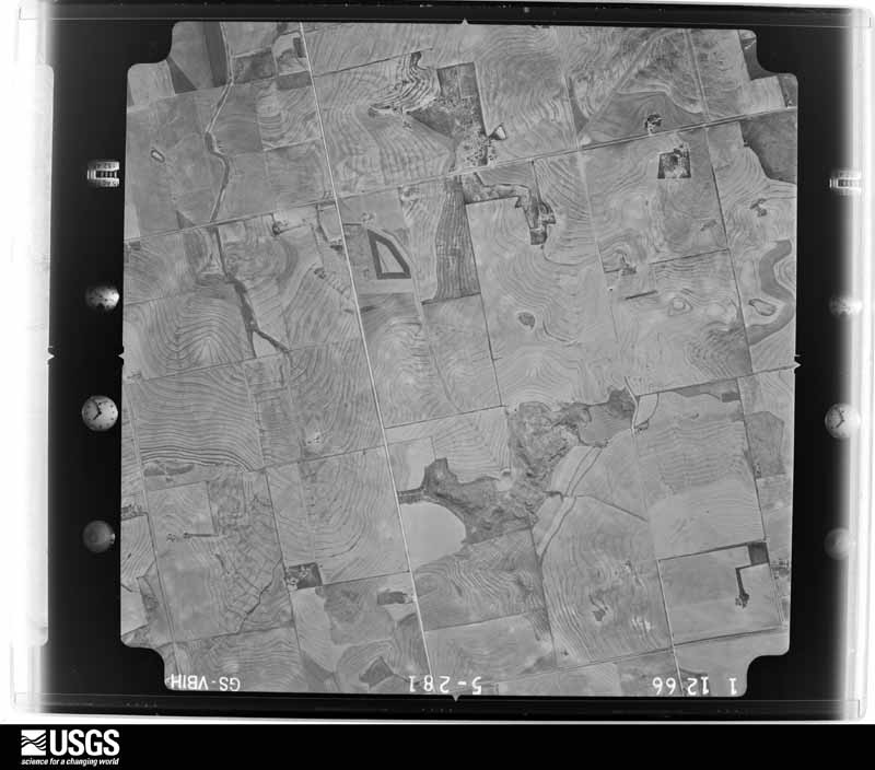
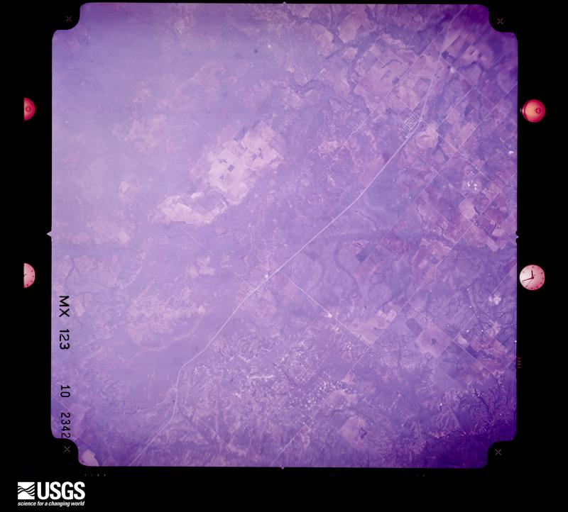
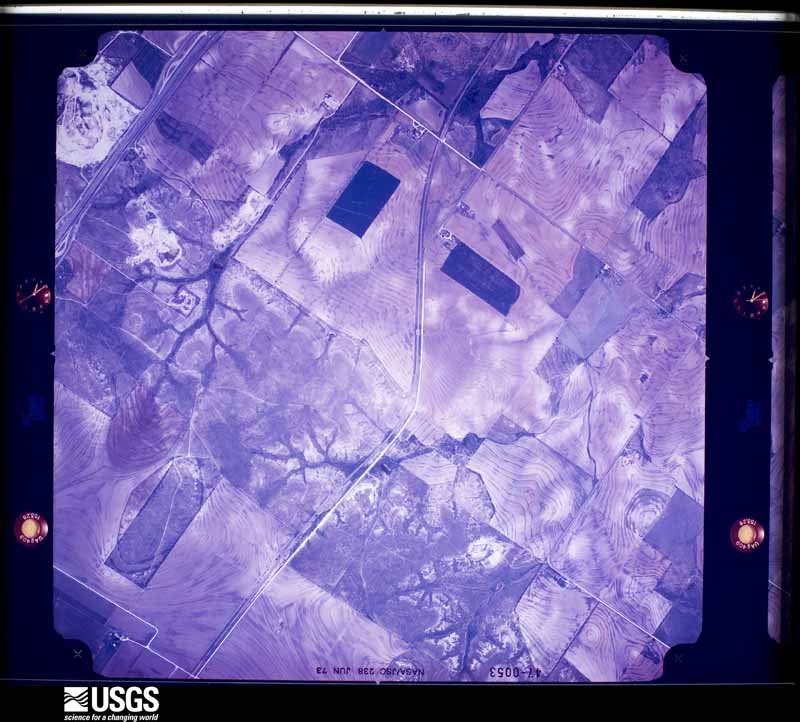
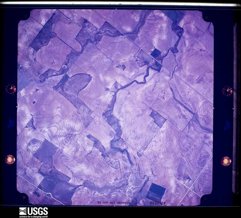
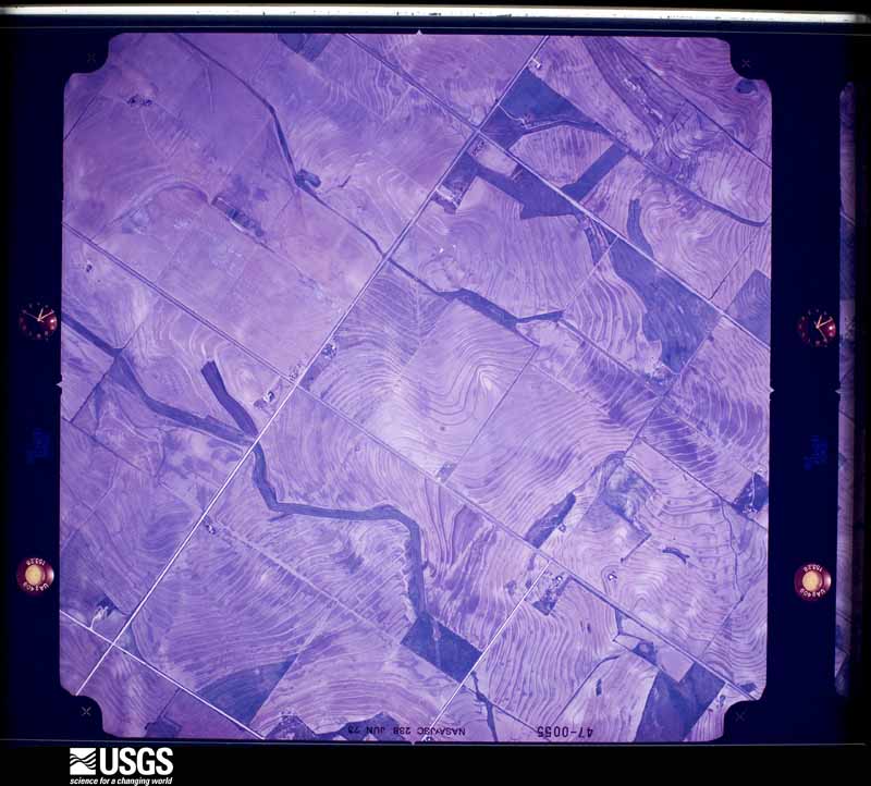
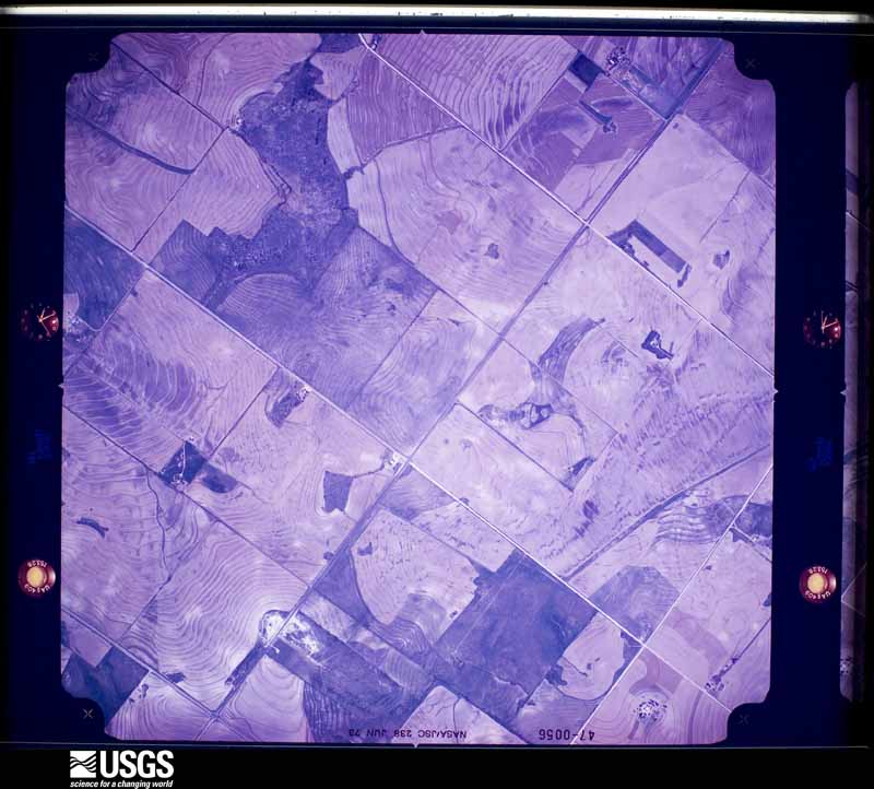
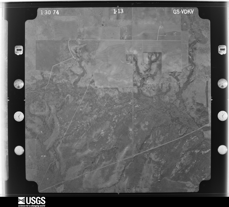
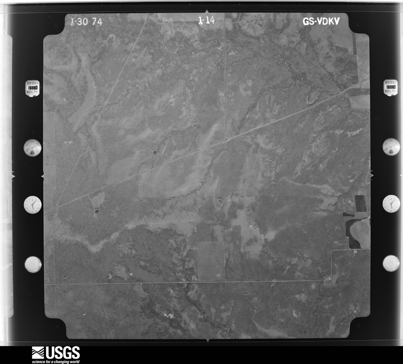
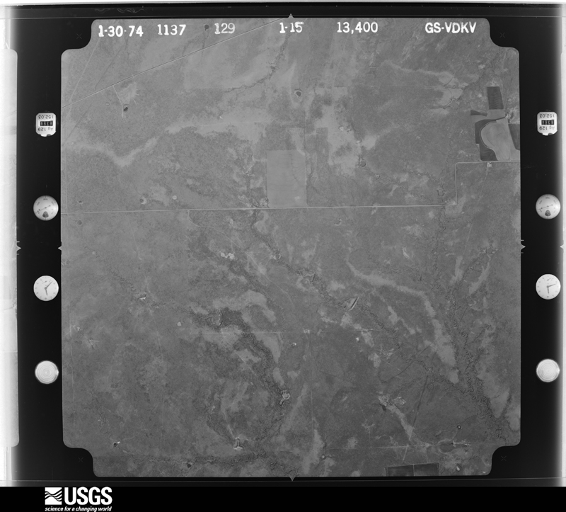
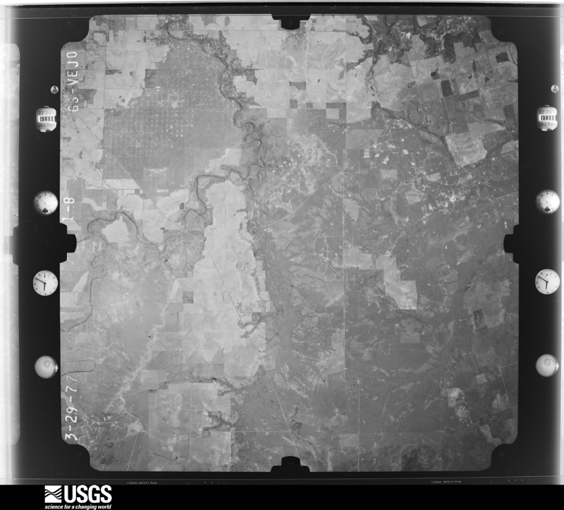
Flown by the U.S. Geological Survey between 1937 and 1989, the Aerial Photo Single Frames collection is the definitive mid-century view of the land: fields, roads and rivers as the camera saw them. The Survey holds 707 frames inside the rectangle that bounds this county; the 27 frames below were taken over the county itself, chosen across the decades of flights (at most four a year from that rectangle), so one flight cannot crowd out the rest. The full set is free to browse and download at EarthExplorer under the dataset Aerial Photo Single Frames.
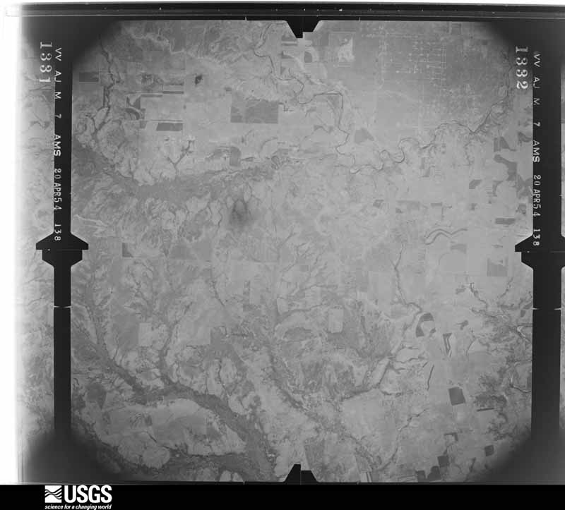
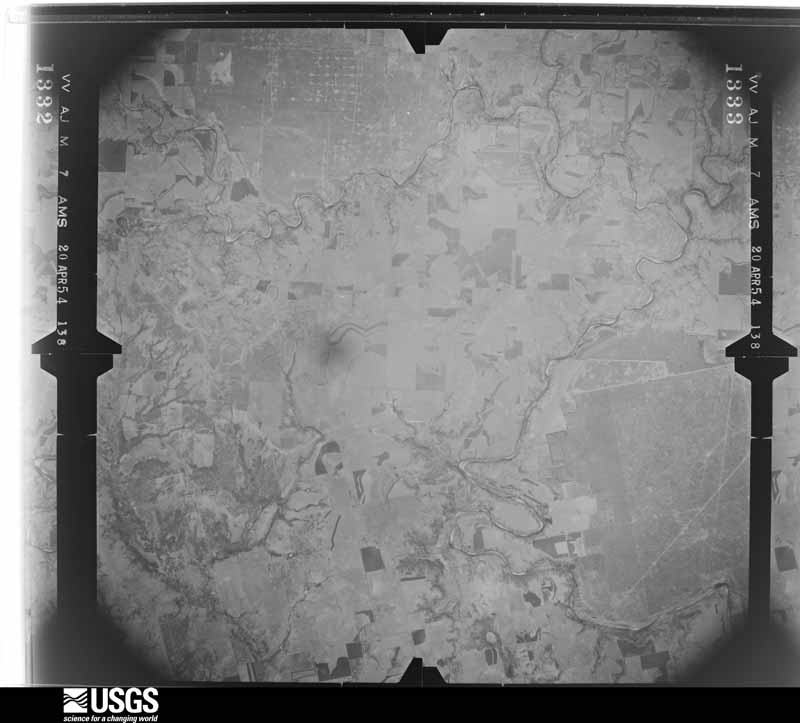
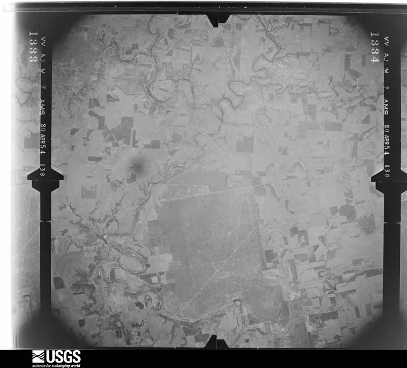
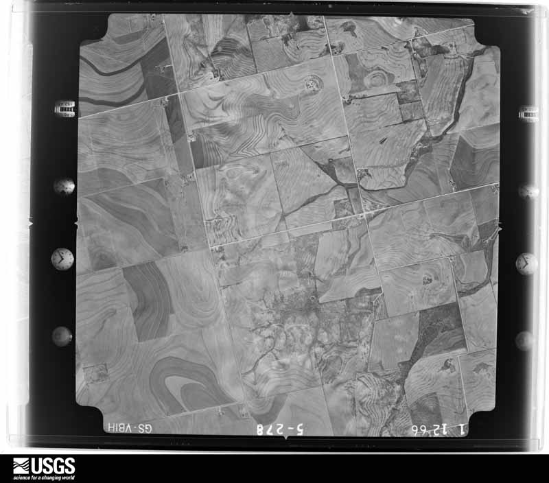



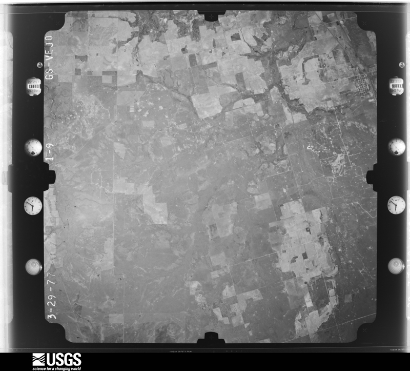
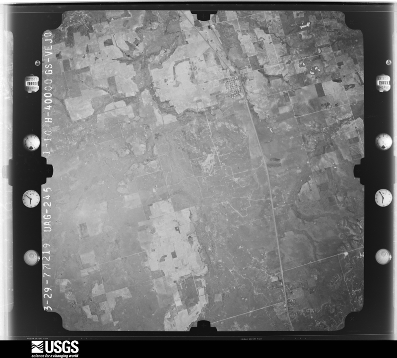
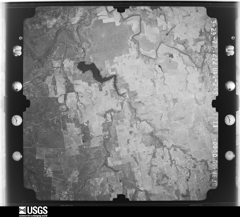
The thermometers that kept this county's weather, and the gages that measured the flow of its streams, as the federal records hold them. The extremes below are measured values from those records, not estimates.
Who lived here in 1950, one enumeration district at a time, as the Census Bureau described each district. Each row opens its official National Archives result, with Population Schedules and ED Maps available there.
Every wildfire the federal occurrence database records inside this county: 114 of them, burning about 29,987 acres. 5 started naturally and 4 were recorded as arson. Each settlement page carries the fires within five miles of it.
| Reported cause | Fires |
|---|---|
| Missing data/not specified/undetermined | 60 |
| Equipment and vehicle use | 19 |
| Power generation/transmission/distribution | 12 |
| Debris and open burning | 8 |
| Natural | 5 |
| Arson/incendiarism | 4 |
| Smoking | 3 |
| Railroad operations and maintenance | 2 |
| Recreation and ceremony | 1 |
The five largest, by the area the report gives. None of them was recorded as arson.
| Date | Cause | Size | Reported by | Name on the report |
|---|---|---|---|---|
| 27 February 2011 | Missing data/not specified/undetermined | 13,740 acres | Texas A & M Forest Service | MITCHELL COMPLEX-COLORADO CITY FIRE |
| 7 September 2019 | Debris and open burning | 3,600 acres | Texas A & M Forest Service | BODINE 1 |
| 11 October 2019 | Missing data/not specified/undetermined | 3,000 acres | Texas A & M Forest Service | 3 MILE SOUTH OF 2183 ON FM 163 |
| 11 August 2011 | Missing data/not specified/undetermined | 2,000 acres | Texas A & M Forest Service | TRI-RANCH COMPLEX |
| 26 April 2011 | Missing data/not specified/undetermined | 1,000 acres | Texas A & M Forest Service | CHAMPION FIRE |
| 10 March 2006 | Missing data/not specified/undetermined | 1,000 acres | Texas A & M Forest Service | not named |
| 23 August 2015 | Power generation/transmission/distribution | 900 acres | Texas A & M Forest Service | 2183 AND CR 363 |
| 6 April 2008 | Equipment and vehicle use | 500 acres | Texas A & M Forest Service | not named |
Every settlement page carries the fires within five miles of it - see the settlement index below.
The NOAA Storm Events Database holds 423 reports for this county, causing no deaths, 9 injuries and about $14,298,180 in recorded property damage. Each settlement page carries the reports that name it.
| Kind of event | Reports |
|---|---|
| Hail | 208 |
| Thunderstorm Wind | 106 |
| Tornado | 55 |
| Flash Flood | 48 |
| Flood | 3 |
| Lightning | 1 |
| Funnel Cloud | 1 |
| Heavy Rain | 1 |
The most serious of them, by death, then injury, then recorded damage. The accounts are quoted exactly as the forecast office filed them.
| When | Event | Place named | Harm | What the report says |
|---|---|---|---|---|
| June 2004 | Tornado (F2) | Colorado City | 3 hurt, $250,000 | A National Weather Service damage survey team concluded that a significant tornado struck rural areas of southeastern Mitchell County during the evening of the 11th. The team examined a damage path marked by shredded vegetation (mostly mesquite trees), downed utility poles, agricultural fences, and a complex of destroyed mobile homes that extended over ten miles in a continuous horseshoe shaped path that crossed State Route 208 twenty miles south-southeast of Colorado City.The tornado developed seventeen miles south-southeast of Colorado City around 2028 CST. Damage indicates the tornado's motion was initially toward the southeast then east as it crossed the heavily traveled State Route 208. Two Texas Tech University students traveling north on 208 (south of the tornado's path) watched as a Ford Expedition drove into the tornadic circulation. The large sports utility vehicle was blown 100 yards off of the highway. Evidence supports the vehicle was rolled a considerable distance by the tornadic winds, but it is unclear whether it became airborne. Three motorists were transferred to local hospitals. One person sustained serious injuries that included a broken back.A detailed damage path analysis and corresponding radar data suggest that the tornado then tracked very slowly east a few miles before curving to the northeast. Similar curved damage paths (turning left of the tornado's original motion) are commonly observed when well-developed tornadoes enter the dissipation stage. The tornado proved to remain very dangerous, however, as eight mobile homes were destroyed by the tornado near the end of its life cycle twenty miles southeast of Colorado City. The light weight and unanchored structures were blown over and shredded by the dissipation stage tornadic winds. The trailers were arranged in a complex and were used to provide shelter for groups of hunters that frequent the ranch property. They were not occupied when the tornado struck. |
| September 2023 | Thunderstorm Wind | Loraine | 3 hurt, $10,000 | Tractor-trailer blown over along I-20. Video shared via email. Wind speeds are estimated to be between 60 to 70 mph. Property cost damage is an estimation. |
| March 2004 | Tornado (F0) | Loraine | 1 hurt, $275,000 | A weak tornado struck the city of Loraine resulting in one injury and damage to several light-weight structures and vehicles. Damage surveyed by a National Weather Service meteorologist began on the south side of the city near Looby Street. From there the tornado traveled northeast producing a one mile long damage path that cut across the southeast corner of the city to near Interstate 20. Along the path, a roof was partially removed from one home and several vehicles and trailers were damaged or destroyed. About $100,000 worth of musical equipment was destroyed when a cargo trailer was rolled by the tornado. The tornado began to dissipate as it crossed Interstate 20 on the east side of the city. Before doing so, it blew two semi-trucks off of the highway, injuring one driver. Several eye witnesses described seeing the tornado's condensation funnel and debris whirling beneath it. |
| May 1965 | Tornado (F2) | not stated | 1 hurt, $250,000 | no account filed |
| August 1997 | Lightning | Colorado City | 1 hurt | Lightning strikes at Lake Colorado City injured a young girl who suffered burns on her arm. |
| June 2020 | Thunderstorm Wind | Colorado City Arpt | $7,000,000 | A thunderstorm moved across Mitchell County and produced straight-line wind damage about three miles east of Colorado City. There were five downed powerline poles along the south frontage road of I-20 between mile markers 221 and 222. An 86 car train was derailed about one mile south of the frontage road which caused a large fire. A long stretch of the track was also damaged. Based on the damage, the peak wind speeds were estimated by an NWS survey team to range between 80 to 100 mph. The cost of damage is a very rough estimate. |
| June 2017 | Thunderstorm Wind | Loraine | $3,000,000 | A thunderstorm moved across Mitchell County and produced wind damage near Loraine. Multiple high profile train cars derailed just south of I-20 near mile marker 223 along Lucus Road. The survey team estimated that the wind speeds were roughly 90 mph through this area. The cost of damage is a very rough estimate. |
| January 2010 | Thunderstorm Wind | Loraine | $590,000 | A wind turbine was destroyed by the severe gust. In addition, a cedar tree was also snapped near its base. |
| September 2003 | Tornado (F1) | Colorado City | $250,000 | A tornado developed along Farm to Market Road 1983 just west of Colorado City, approximately one half mile south of Interstate Business 20. The tornado initially moved northwest, and produced light damage to two mobile homes along 1983. An eyewitness who observed the tornado during its early stages described the tornado as a tall and narrow vortex which lofted debris approximately 200 feet into the air. The tornado began moving west along Interstate Business 20. Part of the roof was blown off of the KVCM-KAUM Radio station. The tornado then strengthened as it moved through a rural residential neighborhood immediately south of Business 20. A house west of the radio station lost part of its roof, a car port, and a storage barn. Two campers were destroyed at this residence, with one being deposited southeast of its original location. Utility poles and trees were also damaged. F1 damage was sustained to the next house along the path to the west. Tornadic winds damaged the garage door of this well built home on the northeast corner of the structure. After the garage door was compromised, high speed winds (estimated between 90 and 100 MPH) entered the remainder of the structure, and the roof blew off. Large pieces of roof debris knocked down utility poles, damaged large trees, and moved vehicles located downwind of the house. The adjacent house to the west was also sustained damage from flying debris. A home owner two houses further west observed the the tornado, and fled in his vehicle on Business 20. He observed the dissipation of the debris-filled tornado, and watched as large pieces of roof were deposited on his property causing additional minor damage. |
| May 1982 | Tornado (F2) | not stated | $250,000 | no account filed |
| May 1982 | Tornado (F2) | not stated | $250,000 | no account filed |
| June 1997 | Hail | Westbrook | $200,000 | Hail damaged many vehicles on Interstate 20. |
| March 2004 | Tornado (F0) | Colorado City | $125,000 | A tornado severely damaged two trailer homes and a few recreational vehicles in the Lake Champion vicinity along Highway 208 south of Colorado City. The roof was partially removed from one trailer house, and another was rolled onto its top. No injuries were reported. |
| October 1997 | Tornado (F1) | Colorado City | $100,000 | An early morning tornado damaged two houses nine miles south of Colorado City. The tornado also destroyed a shed, blew over three gasoline storage tanks, and tore the roof off of a barn. |
| June 2020 | Thunderstorm Wind | Colorado City | $80,000 | A thunderstorm moved across Mitchell County and produced wind damage nine miles southeast of Colorado City. A 750 foot long center pivot irrigation system was toppled over on its side. The cost of damage is a very rough estimate. |
| May 2013 | Thunderstorm Wind | Buford | $80,000 | A thunderstorm moved over Mitchell County and produced strong winds near Buford. The strongest winds were estimated to be 80 to 90 mph. The most intense winds from this event occurred along State Highway 208 from Buford to two miles north northwest of Buford. Three homes sustained damage with loss of roofing materials also reported. A trailer from one of the homes was blown into a neighboring field. Tree branches up to five inches in diameter were broken off trees weakened by the ongoing drought. Eighteen power poles were knocked down or found leaning across State Highway 208 from the damaged homes. The cost of damage is a rough estimate. |
| June 2004 | Thunderstorm Wind | Colorado City | $80,000 | A broad swath of severe thunderstorm winds resulted in up to forty downed power and utility poles over southeastern Mitchell County. A National Weather Service damage survey concluded that these winds were associated with the storm's occlusion and precluded tornadogenisis. These rear flank downdraft winds snapped poles along State Route 208 and in rural areas east of the highway to the county line. |
| May 2004 | Thunderstorm Wind | Colorado City | $75,000 | An intense gust front associated with the RFD surged south from the tornadic supercell in northern Mitchell County. This gust front was visually demarked by a classic dust foot that tracked from northwest to southeast across the town of Colorado City. The RFD winds resulted in downing at least two power poles. Utility lines were blown down across the city, and numerous large trees were uprooted. One tree fell onto a car. In addition, a portion of a roof was blown off of a mobile home, and damage was reported to a radio tower. No injuries were reported, but a local utility company reported at least fifty-two customers were left without electricity after the storm. |
| May 1997 | Hail | Colorado City | $70,000 | no account filed |
| May 2002 | Tornado (F0) | Loraine | $65,000 | Thirteen power poles blown down as a result of a brief tornado in eastern Mitchell County. |
| May 2020 | Thunderstorm Wind | Colorado City | $50,000 | A thunderstorm moved across Mitchell County and produced wind damage three miles west of Colorado City. There was an estimated wind gust of 75 mph that flipped a semi-trailer on I-20. The cost of damage is a very rough estimate. |
| March 2017 | Thunderstorm Wind | Colorado City | $50,000 | A thunderstorm moved across Mitchell County and produced wind damage seven miles south southeast of Colorado City. Near Lake Champion at CR 121/119 at Highway 208 there was significant damage observed to trees including eight inch diameter tree limbs down, two trees broken, and one uprooted. There was roof damage observed on multiple structures as well as a damaged utility trailer. The time of the damage was estimated from radar and the wind speed was estimated from the damage. The cost of damage is a very rough estimate. |
| June 2008 | Thunderstorm Wind | Colorado City Arpt | $50,000 | Several power poles were downed by strong thunderstorm winds in Loraine and Colorado City. In addition, several pivot irrigation systems were overturned. |
| May 2006 | Thunderstorm Wind | Colorado City | $50,000 | Widespread wind damage was reported at Lake Colorado City. Several trailer homes were overturned or experienced roof damage. A 25-foot tree was toppled and others were stripped of their leaves. Another resident reported that a tire was blown from the roof of their carport and loosened gutters at a neighbor's house. |
| May 2002 | Tornado (F0) | Colorado City | $50,000 | Storm spotters reported a tornado. An NWS damage survey determined a path width of 250 yards with a length between one half mile and one mile. The tornado blew down sixteen power poles as it crossed Highway 208 north of Colorado City. Dollar estimates of damage determined through interviews with utility company responsible for damaged power poles. |
| August 1997 | Thunderstorm Wind | Colorado City | $50,000 | Winds blew down several trees and power lines at Lake Colorado City. |
| May 1997 | Hail | Westbrook | $50,000 | no account filed |
| June 1996 | Thunderstorm Wind | Loraine | $50,000 | no account filed |
| September 1996 | Thunderstorm Wind | Colorado City | $50,000 | no account filed |
| May 2015 | Tornado (EF1) | Loraine | $40,000 | A thunderstorm moved across Mitchell County and produced a tornado in Loraine. A damage survey was conducted the next day. The tornado touched down at approximately 9 am CDT and continued generally northeast for a distance of 0.16 miles before lifting. The tornado was on the ground for less than one minute. There was extensive damage to a barn where several walls collapsed and a pole with a cement base was pulled out of the ground. There was also damage to the local fire chief's house where debris from the barn became embedded in the side of the house. At its widest the tornado was estimated to have a width of approximately 50 yards. Based on the damage, the tornado will be rated as an EF-1 with estimated wind speeds of 100 mph. The cost of damage is a very rough estimate. |
| May 2015 | Thunderstorm Wind | Loraine | $40,000 | A thunderstorm moved across Mitchell County and produced wind damage in Loraine. Straight line winds blew the roofs off of two homes and a barn in Loraine between 905 and 915 am CDT. The cost of damage is a very rough estimate. |
| April 2021 | Thunderstorm Wind | Loraine | $30,000 | A thunderstorm moved across Mitchell County and winds from the storm resulted in ten downed power poles. The cost of damage is a rough estimate. |
| June 2017 | Thunderstorm Wind | Colorado City | $30,000 | A thunderstorm moved across Mitchell County and produced a 61 mph wind gust which caused wind damage in Colorado City. There was moderate tree and roof damage reported. The time was estimated from radar. The cost of damage is a very rough estimate. |
| March 2017 | Thunderstorm Wind | Colorado City | $30,000 | A thunderstorm moved across Mitchell County and produced wind damage on the south end of Colorado City. Roofs were blown off and four telephone poles were blown down. The cost of damage is a very rough estimate. |
| May 2006 | Thunderstorm Wind | Westbrook | $25,000 | Several roofs and trees were damaged or downed by 65 mph thunderstorm winds, including one 25 foot tree with a three foot diameter trunk. |
| March 2004 | Hail | Colorado City | $25,000 | Reports indicate that hail ranging in size from quarters to ping pong balls fell in the town of Colorado City for fourteen minutes. Several cars were severely damaged. |
| March 1979 | Tornado (F0) | not stated | $25,000 | no account filed |
| March 1979 | Tornado (F1) | not stated | $25,000 | no account filed |
| March 1973 | Tornado (F1) | not stated | $25,000 | no account filed |
| July 1964 | Tornado (F1) | not stated | $25,000 | no account filed |
| May 1964 | Tornado (F1) | not stated | $25,000 | no account filed |
| April 2024 | Hail | Westbrook | $20,000 | Hail was potentially as big as baseballs. Skylights and windows busted out in Westbrook. |
| June 2014 | Thunderstorm Wind | Westbrook | $20,000 | A thunderstorm moved across Mitchell County and produced wind damage near Westbrook. A grain silo was blown across Farm to Market Road 1983. The cost of damage is a very rough estimate. |
| May 2008 | Hail | Colorado City | $20,000 | Golfball to baseball sized hail fell in Colorado City. |
| May 2006 | Thunderstorm Wind | Westbrook | $20,000 | The public reported that four telephone poles were downed by thunderstorm winds west of Westbrook. |
| May 1995 | Thunderstorm Wind | Colorado City | $20,000 | Strong outflow winds from thunderstorms caused minor damage. Some wooden fences were knocked down near Lubbock and part of a warehouse's roof was blown off in Plainview. In Colorado City, trees were uprooted and roofs were damaged on several mobile homes. |
| March 2000 | Flash Flood | Countywide | $20,000 | no account filed |
| May 2002 | Thunderstorm Wind | Loraine | $17,000 | An NWS damage survey determined thunderstorm winds damaged a utility pole...destroyed the roof on a building...and caused minor roof damage to a church. |
| August 2023 | Thunderstorm Wind | Colorado City | $15,000 | A roof was blown off of a home south of Colorado City. Damage was likely due to downdraft winds associated with a thunderstorm that passed just to the south. Time is based on radar. Wind speeds were estimated to be 100 mph. Property damage cost is an estimation. |
| June 2018 | Flash Flood | Loraine | $15,000 | Heavy rain from thunderstorms fell across northeast Mitchell County and produced flash flooding. A pickup truck was found washed off the I-20 feeder road at North Fork Champion Creek. The water line on the bridge suggested the water was near 10 feet deep over the feeder road at one point. The cost of damage is a very rough estimate. |
| June 2014 | Thunderstorm Wind | Colorado City | $15,000 | A thunderstorm moved across Mitchell County and produced wind damage in Colorado City. The roof was blown off of the Wallace school in Colorado City. The cost of damage is a rough estimate. |
| May 2006 | Tornado (F1) | Colorado City | $15,000 | A third tornado formed nine miles southwest of Colorado City along Texas Highway 163. Extensive tree and structural damage was found at a residence on the west side of the road. Several large trees were uprooted or heavily damaged. A grass seeder weighing approximately 150 pounds was carried a distance of 50 feet. Also, extensive damage to a barn and storage shed were found at the residence. |
| May 2006 | Thunderstorm Wind | Colorado City | $15,000 | Trees and power poles were downed by severe thunderstorm winds. |
| June 2017 | Thunderstorm Wind | Cuthbert | $13,000 | A thunderstorm moved across Mitchell County and produced wind damage near Cuthbert. A barn was blown down from the thunderstorm winds. The cost of damage is a very rough estimate. |
| March 2021 | Thunderstorm Wind | Colorado City | $12,000 | A thunderstorm moved across Mitchell County and produced wind damage in Colorado City. There were large tree limbs that were blown down and power poles were snapped. The cost of damage is a very rough estimate. |
| June 2023 | Thunderstorm Wind | Colorado City | $10,000 | Report of a large tree blown down onto a vehicle and damage to the roof of an outbuilding just north of Colorado City. Time is estimated from radar and nearby observations. Wind speeds were estimated to be between 80 to 90 mph. Property damage cost amount is an estimation. |
| October 2023 | Thunderstorm Wind | Colorado City | $10,000 | Report of a carport being tossed into a home causing damage and T-posts ripped out of the ground and being lodged into a barb-wired fence. Time is estimated from radar. Wind speeds are estimated to be 80 mph. Property cost damage is an estimation. |
| June 2017 | Thunderstorm Wind | Colorado City | $10,000 | A thunderstorm moved across Mitchell County and produced wind damage nine miles east of Colorado City. Power poles were blown down due to the thunderstorm. The cost of damage is a very rough estimate. |
| June 2014 | Thunderstorm Wind | Colorado City | $10,000 | A thunderstorm moved across Mitchell County and produced damaging winds in Colorado City. An 18 wheeler was jack-knifed on Interstate 20 as a result of the winds. The cost of damage is a rough estimate. |
| September 2012 | Flash Flood | Westbrook | $10,000 | Heavy rain moved over Mitchell County and produced flash flooding six miles south of Westbrook. Stranded vehicles were reported as a result of this flooding. The cost of damage is a very rough estimate. The crop damage is estimated to be zero since there were no reports of any crop damage. There were no reports of injuries. |
The Survey's mineral resources record lists 1 working inside this county. It still produces. Each settlement page carries the workings within five miles of it.
| Commodity | Workings |
|---|---|
| Sand and Gravel, Construction | 1 |
The least common of them first, because a county's hundredth gravel pit says nothing its first ten did not.
| Where | Site | Commodity | Status | Recorded |
|---|---|---|---|---|
| Colorado Sand and Gravel Operation | Sand and Gravel, Construction | Producer |
Named settlements recorded in the Geographic Names Information System, each with the topographic sheets covering it. Villages, hamlets and abandoned places alike. Each is shown with the nearest named watercourse or landform and the survey quadrangle it falls on.
Colorado City census division · 79512 · On Lone Wolf Creek · Colorado City quadrangle
9 sheets, 1952 to 1985
Loraine census division · 79512 · On Beals Creek · Pecan Crossing quadrangle
8 sheets, 1954 to 1985
Westbrook census division · 79512 · On Willow Creek · Pecan Crossing quadrangle
8 sheets, 1954 to 1985