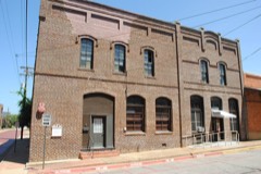
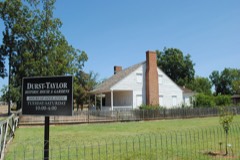
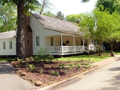
Block
BlockFrom the record
22 National Register listings published here.
Sources: the National Register database, National Park Service
59 topographic sheets cover 52 settlements here, and 22 properties are on the National Register of Historic Places.
22 National Register listings published here.
Sources: the National Register database, National Park Service
Every property in this county listed on the National Register of Historic Places, with the year it was listed and the federal nomination document.
Drawn when these were printed as single large sheets: the town seen from the air, and the county divided into its farms with every owner named. Each opens the original at the Library of Congress.
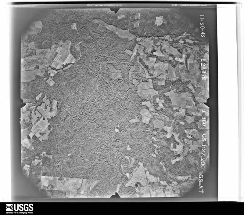
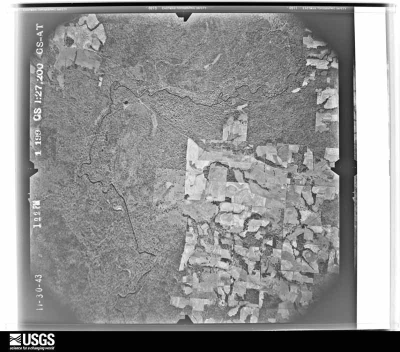
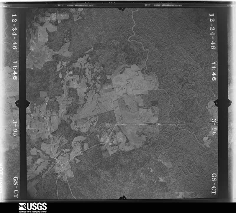
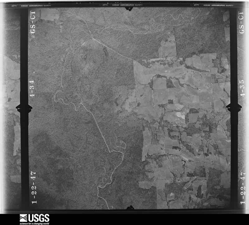
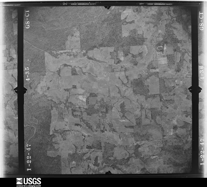
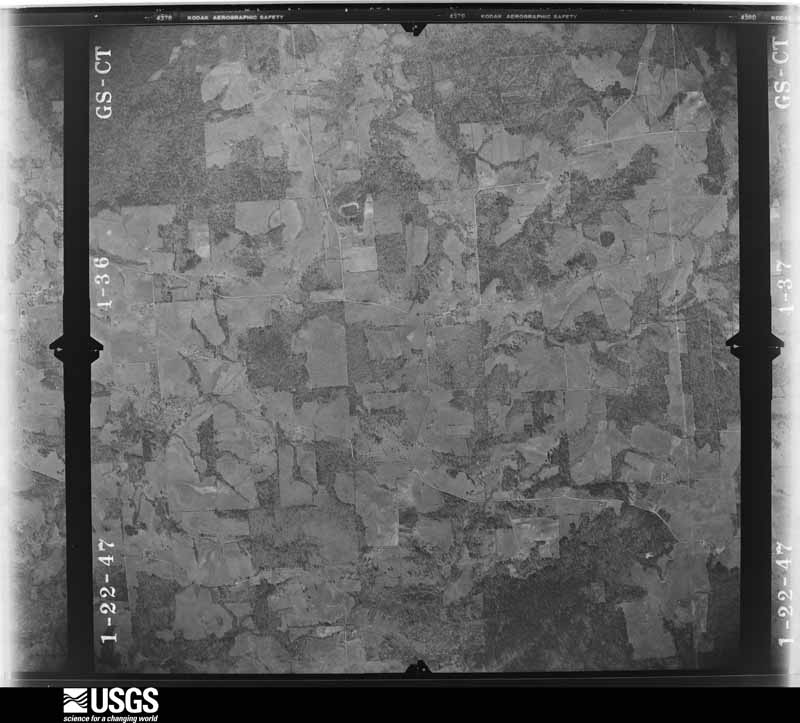
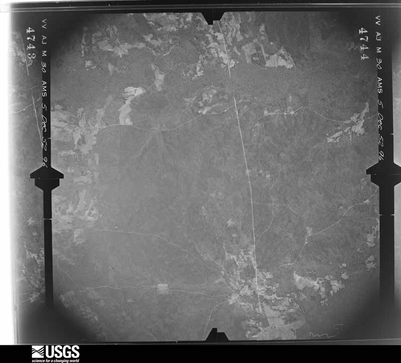
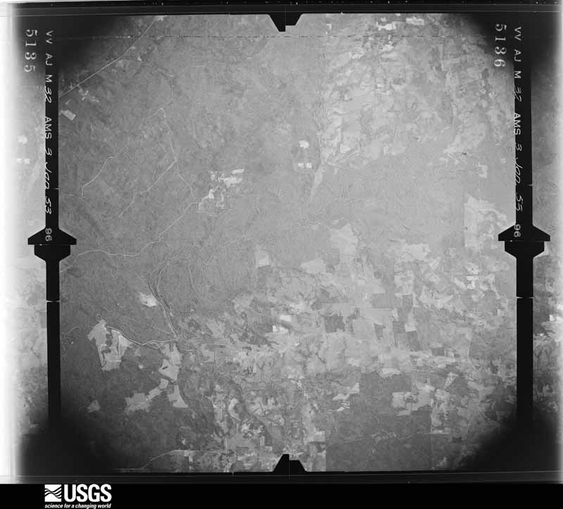
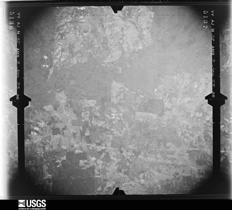
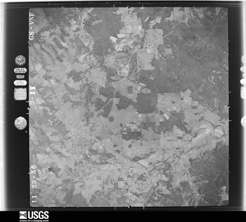
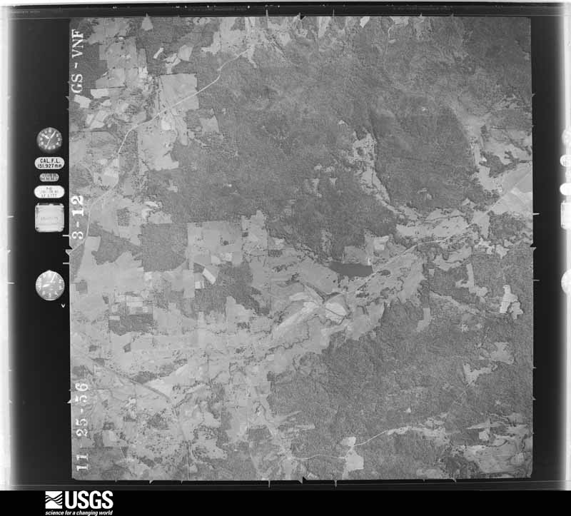
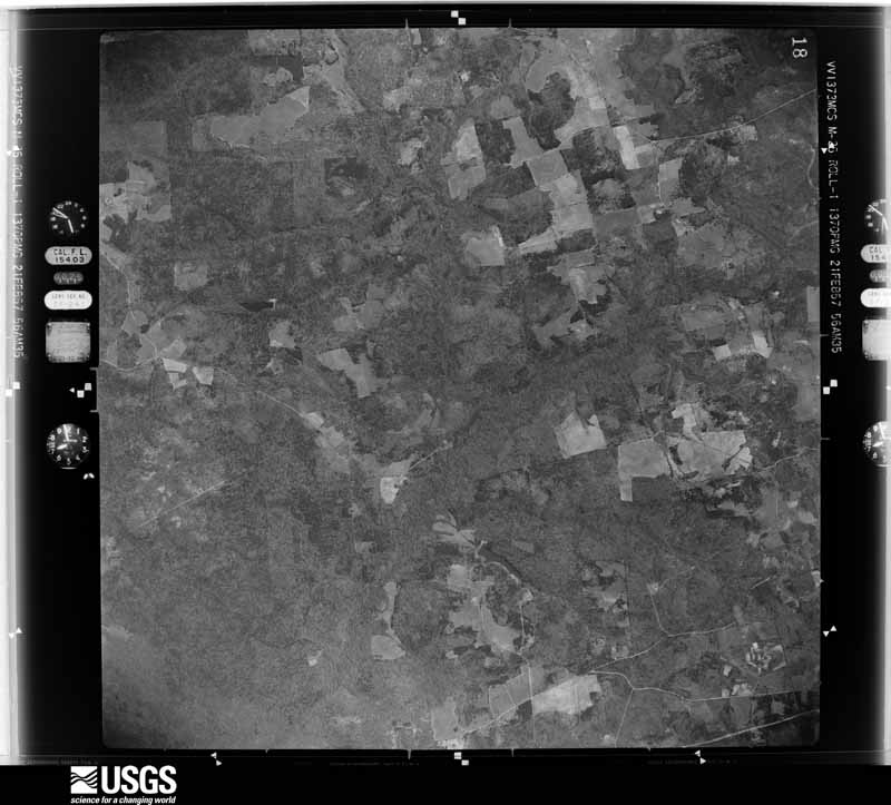
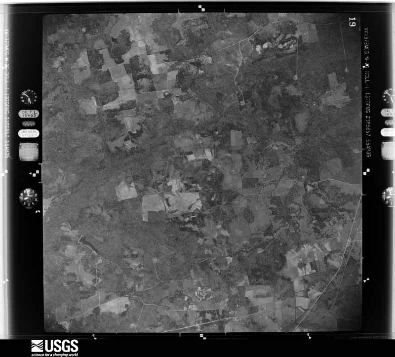
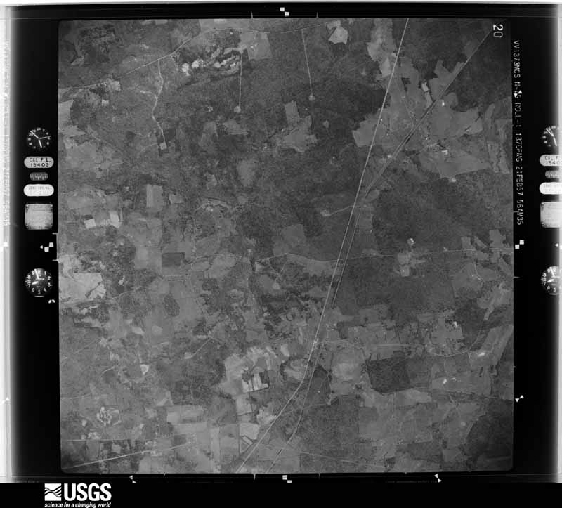
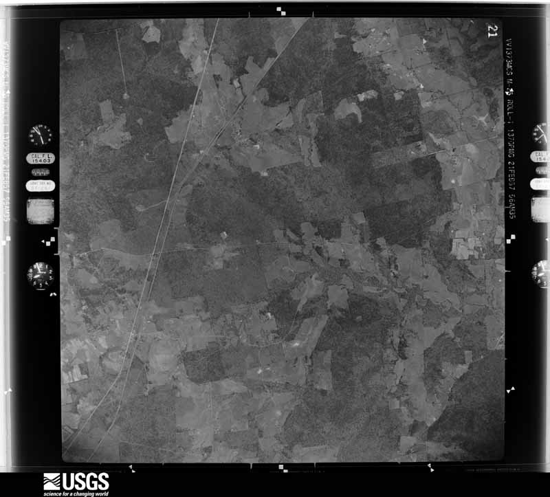
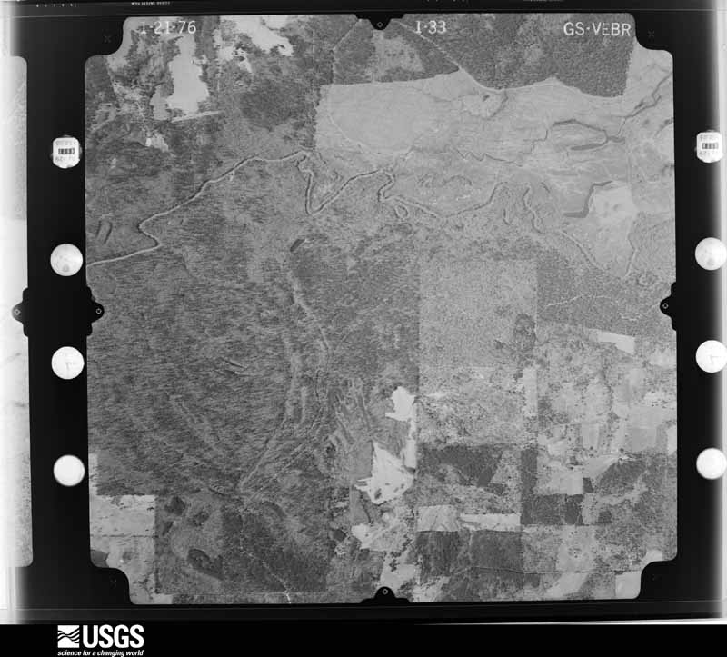
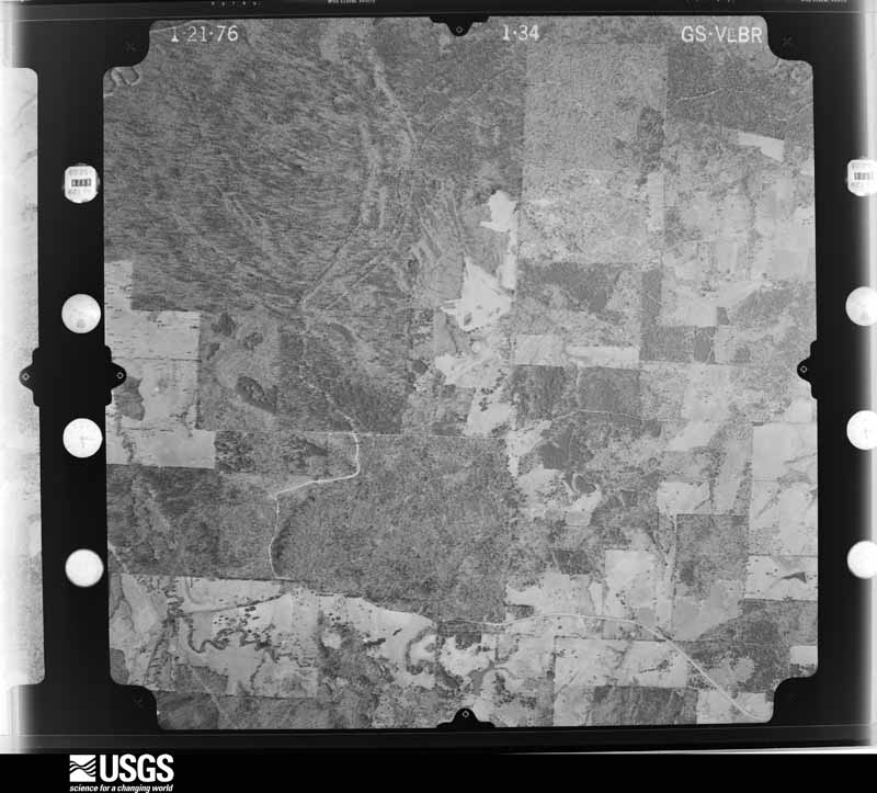
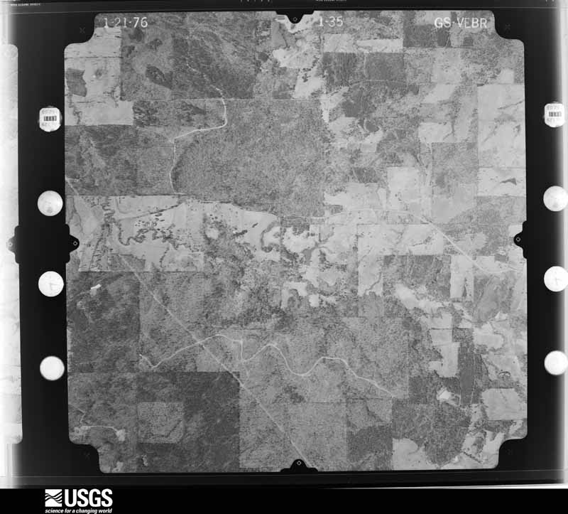
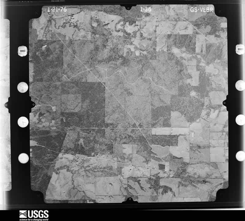
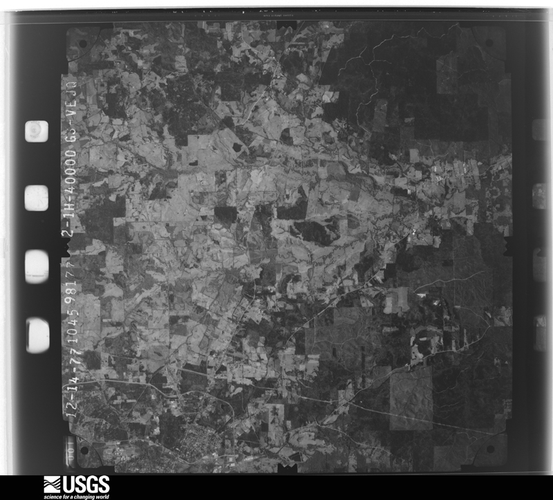
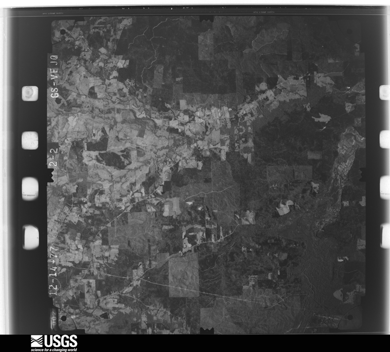
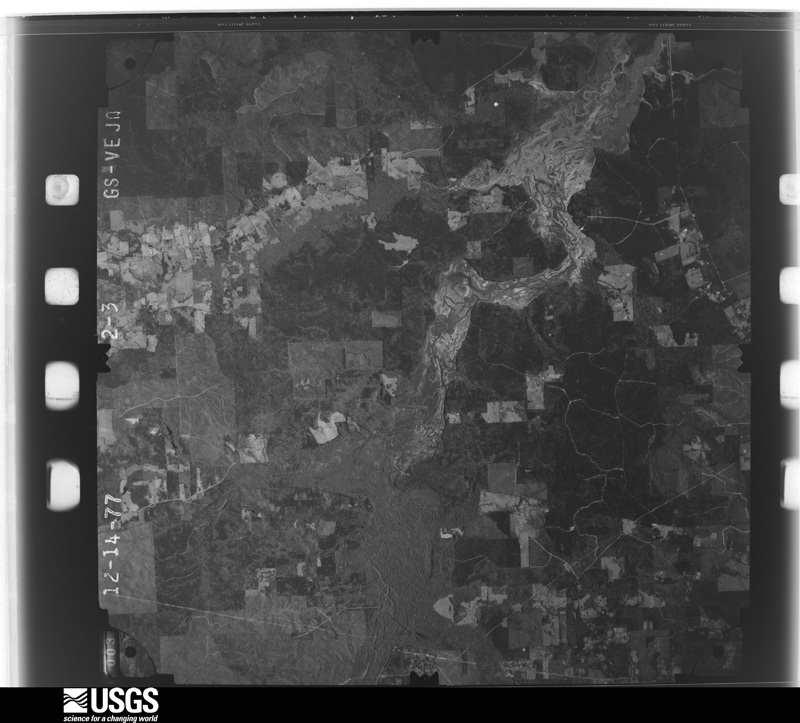
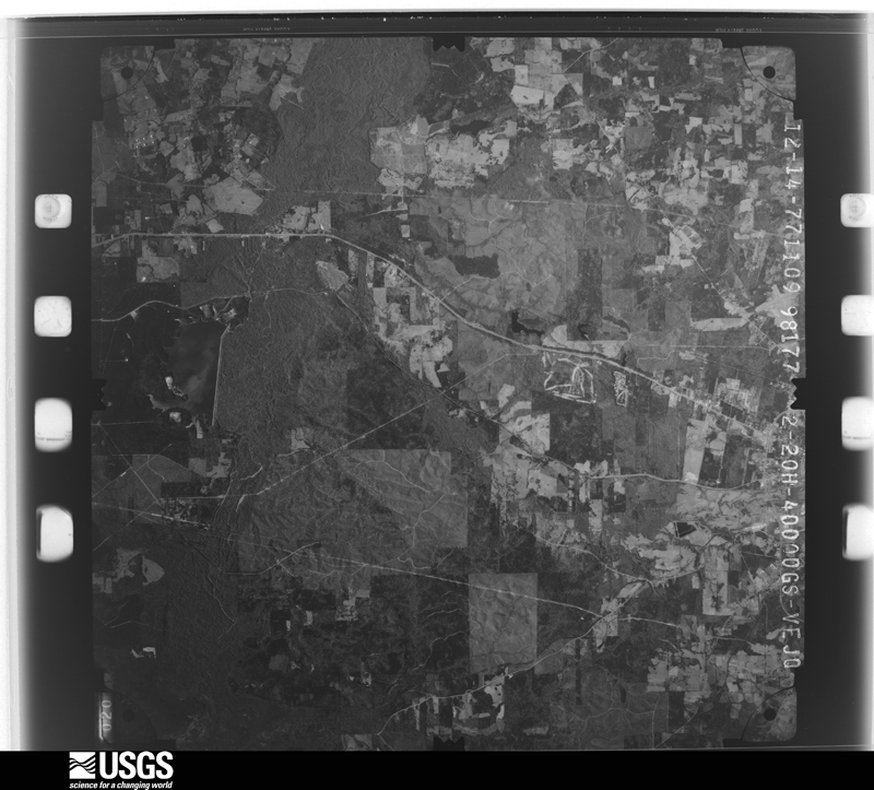
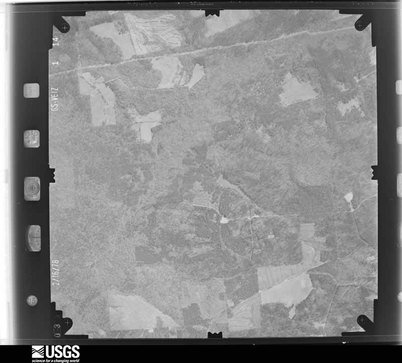
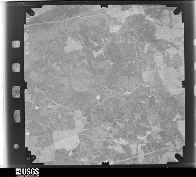
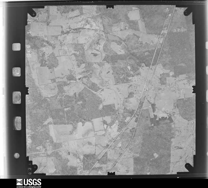
Flown by the U.S. Geological Survey between 1937 and 1989, the Aerial Photo Single Frames collection is the definitive mid-century view of the land: fields, roads and rivers as the camera saw them. The Survey holds 1,776 frames inside the rectangle that bounds this county; the 48 frames below were taken over the county itself, chosen across the decades of flights (at most four a year from that rectangle), so one flight cannot crowd out the rest. The full set is free to browse and download at EarthExplorer under the dataset Aerial Photo Single Frames.






















The thermometers that kept this county's weather, and the gages that measured the flow of its streams, as the federal records hold them. The extremes below are measured values from those records, not estimates.
Who lived here in 1950, one enumeration district at a time, as the Census Bureau described each district. Each row opens its official National Archives result, with Population Schedules and ED Maps available there.
Every wildfire the federal occurrence database records inside this county: 1,308 of them, burning about 18,697 acres. 58 started naturally and 95 were recorded as arson. Each settlement page carries the fires within five miles of it.
| Reported cause | Fires |
|---|---|
| Debris and open burning | 696 |
| Missing data/not specified/undetermined | 252 |
| Arson/incendiarism | 95 |
| Power generation/transmission/distribution | 73 |
| Equipment and vehicle use | 59 |
| Natural | 58 |
| Smoking | 27 |
| Recreation and ceremony | 20 |
| Misuse of fire by a minor | 13 |
| Fireworks | 11 |
| Railroad operations and maintenance | 3 |
| Other causes | 1 |
The five largest, by the area the report gives. Five of them were set deliberately.
| Date | Cause | Size | Reported by | Name on the report |
|---|---|---|---|---|
| 4 September 2011 | Power generation/transmission/distribution | 6,550 acres | Texas A & M Forest Service | ANGELINA RIVER BOTTOM FIRE |
| 22 August 2000 | Natural | 4,000 acres | Texas A & M Forest Service | CHICKEN FIRE |
| 13 October 1992 | Arson/incendiarism | 560 acres | Texas A & M Forest Service | not named |
| 22 January 2009 | Arson/incendiarism | 265 acres | Texas A & M Forest Service | HENDERSON - 040 |
| 1 August 2018 | Natural | 185 acres | Texas A & M Forest Service | MUSKYDIME |
| 12 June 2009 | Arson/incendiarism | 150 acres | Texas A & M Forest Service | HENDERSON - 133 |
| 23 November 2005 | Arson/incendiarism | 150 acres | Texas A & M Forest Service | HENDERSON - 407 |
| 13 October 1992 | Arson/incendiarism | 120 acres | Texas A & M Forest Service | not named |
Every settlement page carries the fires within five miles of it - see the settlement index below.
The NOAA Storm Events Database holds 588 reports for this county, causing 6 deaths, 39 injuries and about $18,570,750 in recorded property damage. Each settlement page carries the reports that name it.
| Kind of event | Reports |
|---|---|
| Thunderstorm Wind | 262 |
| Hail | 180 |
| Flash Flood | 82 |
| Tornado | 54 |
| Heavy Rain | 4 |
| Lightning | 4 |
| Flood | 2 |
The most serious of them, by death, then injury, then recorded damage. The accounts are quoted exactly as the forecast office filed them.
| When | Event | Place named | Harm | What the report says |
|---|---|---|---|---|
| March 1961 | Tornado (F3) | not stated | 2 killed, 4 hurt, $250,000 | no account filed |
| November 1961 | Tornado (F3) | not stated | 1 killed, 10 hurt, $250,000 | no account filed |
| January 2020 | Tornado (EF1) | Del Rentzel | 1 killed, 1 hurt, $75,000 | An EF-1 tornado with estimated maximum winds near 100 mph touched down along County Road 723 just south of Farm to Market Road 225, where it snapped several large branches in a field of trees. The tornado tracked east-northeast where it crossed Farm to Market Road 225 and paralleled the north side of the roadway. It snapped and uprooted numerous trees and broke several more large branches as it continued east-northeast. The tornado downed a large tree onto a mobile home along Sweat Circle, a private road off of Farm to Market Road 225, where a 44 year old male was killed and one minor injury was reported. The tornado then crossed County Road 722 and Russelville Road where it resulted in additional tree damage and minor damage to homes. The tornado continued northeast where it crossed County Road 719 and several private properties, damaging a few more trees before lifting near Floyd Harvin Road. |
| May 2014 | Lightning | Nacogdoches | 1 killed | According to a press release from the Nacogdoches County Sheriff's Office, NCSO deputies arrived at the home on Shoreline Drive at approximately 11:30 a.m. cdt and discovered the victim lying on the ground in his backyard. A witness reported hearing a loud boom that shook the house. The victim was found in the backyard a few minutes later. The NCSO deputies on the scene noticed that the tree that the man was lying near had clearly been struck by lightning. In addition, the victim had a burn mark on his stomach. |
| June 2007 | Thunderstorm Wind | Chireno | 1 killed | A woman driving along FM 226 near the town of Etoile was killed when the top of a pine tree was snapped off and went through her windshield. Reported by Departement of Public Safety. |
| May 1989 | Tornado (F2) | not stated | 8 hurt, $2,500,000 | no account filed |
| May 1989 | Tornado (F2) | not stated | 3 hurt, $2,500,000 | no account filed |
| December 1983 | Tornado (F2) | not stated | 3 hurt, $2,500,000 | no account filed |
| February 1998 | Thunderstorm Wind | Etoile | 2 hurt, $3,000,000 | Numerous trees and powerlines were toppled throughout the community. Felled trees demolished homes and vehicles and ripped apart several mobile homes. An estimated 30 roads were closed across the area. Deep East Texas Coop, the electrical company that services Nacogdoches County, said that 350-400 electrical poles were toppled leaving over 20,000 customers without power. Several chicken houses were also destroyed each costing $100,000. Electrical crews from Dallas, Temple, Waco, Sulpher Springs, Athens, and Palestine Texas were called in to assist in reestablishing power. Two injuries occurred: The first when the wind turned over a travel trailer with a man inside, the second when a tree fell on a woman in her car sending flying glass into her face. Both injuries were minor. |
| May 1997 | Thunderstorm Wind | Douglass | 2 hurt | Trees were toppled across the area. A two car accident occurred when cars slammed into one of the fallen trees. |
| March 2022 | Tornado (EF2) | Lilbert | 1 hurt, $750,000 | This is a continuation of the Southern Cherokee County tornado. This tornado intensified to EF-2 with estimated maximum winds around 125 mph near the intersection of County Roads 885 and 886, where the damage width broadened to near a half mile with widespread snapping of hardwood and softwood trees. The tornado maintained its intensity as it tore through the Lilbert community and approached the west side of Cushing. Widespread trees were snapped on the west side of Cushing, with single family homes sustaining partial to complete loss of their roofs. Estimated maximum winds from this tornado reached 125 mph given the total loss of roofs of single family homes on the west and north side of Cushing, as well as the collapse of exterior walls on a home off of FM 225 and County Road 967. It was estimated that approximately 30 homes were damaged in Cushing, with a total of approximately 50 structures damaged. A wooden church off of County Road 967 was completely destroyed. The tornado continued northeast along FM 225 before crossing over into Southern Rusk County. ||One injury was documented from this tornado as it tore through Northwest Nacogdoches County. |
| August 1986 | Tornado (F1) | not stated | 1 hurt, $250,000 | no account filed |
| August 2005 | Thunderstorm Wind | Nacogdoches | 1 hurt, $15,000 | The entire roof blew off the second story general office building at Texas Farm Products in Nacogdoches. One woman was injured but her injuries were not life threatening. |
| May 2024 | Thunderstorm Wind | Melrose | 1 hurt | A large tree was uprooted and downed onto a home, resulting in a head injury to the homeowner. |
| October 1997 | Thunderstorm Wind | Swift | 1 hurt | Numerous trees were toppled along CR 331. A car ran into a tree that fell across the highway causing injury to the occupant. |
| February 1990 | Tornado (F2) | not stated | 1 hurt | no account filed |
| March 2002 | Tornado (F2) | Etoile | $1,200,000 | Numerous trees and power lines broken, snapped and pulled out of the ground along the track. Numerous homes and business were severely damaged or destroyed. This tornado moved into Nacogdoches County, TX from Polk County, TX and Angelina County, TX then continued northeast into San Augustine County, TX. |
| May 2017 | Tornado (EF2) | Garrison | $500,000 | The Garrison area of Northeast Nacogdoches County sustained significant wind and tornado damage related to a supercell thunderstorms that moved over this area. En EF-2 tornado with maximum estimated winds between 120-130 mph touched down southwest of Garrison along Highway 59, before moving through downtown Garrison. Several businesses along Highway 59 sustained roof damage, including what had once been a dentist's office, a bank, and an auto repair shop. The dentist's office was particularly hard hit, where EF-2 damage had occurred when a section of the roof was removed. The auto shop roof was lifted and deposited in the bank's parking lot. The auto shop also had two outer cinder block walls collapse as a result of the roof tearing off, which also indicated EF-2 damage. The tornado moved northeast along Highway 59 into extreme Southeast Rusk County, where sporadic trees were topped on both sides of the road. |
| June 2011 | Thunderstorm Wind | Chireno | $500,000 | The National Weather Service conducted a storm survey in Nacogdoches and San Augustine County and concluded that damage was the result of a major downburst. Hundreds of trees from Chireno to San Augustine and to the south were either uprooted or snapped. A few single story homes in the Denning area sustained major structural damage due to large oak trees falling onto the homes. Several chicken houses were damaged by the downburst winds along FM road 1196. The roofs were peeled back. Numerous cars were damaged due to fallen trees, such as along FM road 1277, where two full size trucks were pinned by large oak trees. |
| August 1997 | Flash Flood | Nacogdoches | $500,000 | Heavy rain led to many road closures in the area as cars and even motor homes were swept off the highways and county roads. Many farmers lost hay and some cattle were reported missing. The Texas Department of Transportation called in Flood Crews to repair washed-out roads. Rain totals exceeded 12 inches causing area businesses, homes and apartment complexes to be evacuated. The American Red Cross had to be called in to open shelters for flood victims. |
| October 1994 | Thunderstorm Wind | Holly Springs | $500,000 | Damage to killed chickens and chicken houses was estimated at 60-70,000 dollars; numerous trees were also blown down. |
| April 2019 | Tornado (EF3) | Sacul | $250,000 | This is a continuation of the Cherokee County EF-3 tornado that tore through the Alto community. This tornado continued to track northeast across extreme Northwest Nacogdoches County, where numerous trees were snapped and uprooted along County Road 898 and FM 1648 as it approached the Sacul community. The tornado moved through the southeast sections of Sacul, where additional trees were snapped and uprooted, headstones were shifted off their foundations in a cemetery, a metal flag pole was bent at a 45 degree angle, and a tree fell on a home on Highway 204. The tornado continued northeast crossing County Road 988 and just east of County Road 991 near the Rusk County line, where numerous trees were snapped and uprooted, and a large section of a metal roof was torn off of a home, before crossing over into Southern Rusk County. The damage to the home here was the strongest in Northwest Nacogdoches County, with maximum estimated winds near 120 mph. |
| October 2009 | Flash Flood | Sacul | $250,000 | Numerous county roads were underwater throughout the county. Several homes were flooded throughout the county as well, mostly in rural portions of the county. |
| March 1999 | Tornado (F2) | Martinsville | $250,000 | The damage was 150 yards wide that began in a rural area, 1/4 mile north of the intersection of Hwy 95 and FM 1878. Damage consisted of a chimney blown down, a large cedar tree snapped in half then blown 20 yards from the stump. A Tyson chicken barn was completely demolished with about 300 chickens killed. Forestry damage consisted of numerous trees fallen. A tin roofing from the chicken barns was tangled in many trees up to 1.2 miles away. |
| February 1965 | Tornado (F3) | not stated | $250,000 | no account filed |
| February 1965 | Tornado (F2) | not stated | $250,000 | no account filed |
| April 1954 | Tornado (F2) | not stated | $250,000 | no account filed |
| March 2014 | Thunderstorm Wind | Nacogdoches | $200,000 | Widespread downed trees throughout the entire county. Several trees reported downed on automobiles. Roof damage was widespread across the county as well. |
| April 2008 | Thunderstorm Wind | Nacogdoches | $200,000 | Several trees were downed north and east of the local hospital. A few trees fell on top of cars. Lightpoles were snapped and a brick sign was blown over. There was also reported wind damage to a few roofs and buildings in town including the local Walmart. A tree fell across a home in town with two residents inside but no one was injured. Numerous trees were reported down on Raguet road. |
| April 1999 | Tornado (F1) | Nacogdoches | $190,000 | North to south oriented multi-cellular squall line moving east at 40 mph. A few mobile homes demolished. Minor to moderate damage to frame and brick homes. Numerous trees and powerlines snapped. |
| August 2000 | Thunderstorm Wind | Nacogdoches | $120,000 | Numerous trees, limbs and branches down. One large pine tree fell across a new vehicle, a pickup truck and a home. The storm entered the county from the east, crossed Hwy 7 and moved through the city striking the Stephen F. Austin University were the wind speeds were measured by the campus anemometer. A chicken house was reported wrapped around a power pole and several other chicken houses were destroyed. |
| July 2002 | Thunderstorm Wind | Nacogdoches | $80,000 | Roof was ripped off a barn. |
| February 1998 | Thunderstorm Wind | Garrison | $80,000 | Trees were blown over throughout the area including one across a home causing major damage. The wind also rolled a mobile home. |
| July 2024 | Tornado (EF1) | Appleby | $75,000 | An EF-1 tornado with estimated maximum winds near 110 mph touched down about 1.5 miles southeast of Appleby along County Road 260, where large tree branches were snapped. A path of minor tree damage continued as the tornado tracked to the northwest across the intersection of Appleby Sand Road and Cedar Bluff Road. As the tornado crossed Burt Drive between Village Drive and FM 941, the extent of tree damage increased, where multiple hardwood and softwood trees were snapped. Once the tornado crossed Highway 59 just southwest of Appleby, it appeared to had lifted briefly before touching back down on County Road 112 just west of FM 2864 where more trees were snapped and uprooted. The tornado then crossed CR 116 where it caused significant damage to very large trees, before tracking across the corner of CR 117 and CR 118 where it tore the roof off of a single family home, with additional damage noted to other nearby homes. Additional tree damage occurred as the tornado crossed CR 915 and Highway 204, before lifting near CR 814. |
| September 2012 | Flash Flood | Bonita Jct | $70,000 | Vehicles were stalled out in high water on Hwy. 21 and Hwy. 7 west of Nacogdoches, Texas. |
| February 1998 | Thunderstorm Wind | Nacogdoches | $60,000 | Two mobile homes were blown completely over but no injuries were reported. Numerous trees toppled. |
| April 2019 | Thunderstorm Wind | Swift | $50,000 | Damaging straight line winds estimated to be near 100 mph were found intermittently along a path from south of Nacogdoches to west-northwest of the Martinsville community. The greatest concentration of damage was near the intersection of County Road 239 and FM 2713, where approximately 50 trees were snapped or uprooted, the roof of a chicken house was removed, one home sustained roof damage, and another home had their windows broken from flying debris. |
| November 2015 | Flash Flood | Nacogdoches | $50,000 | High water rescues from flooded automobiles became necessary when excessive heavy rainfall resulted in a rapid rise of the Bonita Creek in Nacogdoches, Texas. There were no reports of injuries. |
| March 2009 | Thunderstorm Wind | Woden | $50,000 | Thunderstorm winds downed trees in the Woden community. One tree crashed through the roof of a mobile home on FM 3228 which trapped a 91 year old woman in the home. She was rescued by EMS units but was not injured. Downed trees and powerlines were also reported across the county from FM 1275 to FM 95. |
| September 2008 | Tornado (EF0) | Woden | $50,000 | A roof was ripped off a metal building and insulation was strewn into trees. Minor damage was observed to a trailer 1/8th of a mile southeast where the weak EF0 tornado first touched down. Several trees were damaged about 1/8th of a mile northwest of the circulation center. |
| April 1994 | Thunderstorm Wind | San Augustine | $50,000 | Extensive damage was done to the roof and porch of the San Augustine Civic Center. |
| October 2018 | Tornado (EF1) | Cushing | $30,000 | An EF-1 tornado with maximum estimated winds near 107 mph touched down on the southwest side of the community of Cushing, in a forested area west of 6th Street. This tornado tracked northeast on the south and east side of Cushing, where it picked up and flipped both a trampoline and an above ground pool while damaging the frame of a mobile home. The most focused damage was along the corner of Eucalyptus Avenue and 4th Street, where several trees were uprooted or snapped. As the tornado continued northeast, it tore off half of a sheet metal roof of a house as it crossed Highway 204, while also snapping a cross of a power pole. Additional trees were snapped or uprooted before the tornado lifted just north of Highway 204 on the northeast side of Cushing. In all, 16 structures were damaged and approximately 50 trees were snapped or uprooted. |
| January 2012 | Thunderstorm Wind | Nacogdoches | $30,000 | Trees and powerlines were downed. One tree fell on a home. There were no report of injuries. |
| September 2012 | Flash Flood | Bonita Jct | $30,000 | A bridge was washed out west of Nacogdoches, Texas. |
| April 2003 | Tornado (F0) | Nacogdoches | $30,000 | A strong thunderstorm moved from west to east across the southwest portion of the city of Nacogdoches. Damage was minimal with a couple of homes damaged from fallen trees and large broken limbs. This tornado may have been spawned from a microburst about 1/2 mile to the northwest. The tornado also appeared to have had a clockwise rotation perhaps as a southern bookend type of tornado. |
| January 2013 | Thunderstorm Wind | Nacogdoches | $25,000 | A tree went through a wood frame house causing considerable damage to much of the kitchen. |
| June 2007 | Thunderstorm Wind | Nacogdoches | $25,000 | Multiple reports of downed trees across the county. Power outages reported in many areas. A large tree fell atop a home in the Melrose area. No injuries were reported. |
| November 1991 | Tornado (F1) | not stated | $25,000 | no account filed |
| March 1980 | Tornado (F1) | not stated | $25,000 | no account filed |
| November 1979 | Tornado (F1) | not stated | $25,000 | no account filed |
| January 1976 | Tornado | not stated | $25,000 | no account filed |
| February 1953 | Tornado | not stated | $25,000 | no account filed |
| July 2000 | Thunderstorm Wind | Nacogdoches | $23,000 | Numerous trees and roofs damaged. Several roofs were removed from their respective homes. Damage was spread over a several mile area. |
| July 2002 | Thunderstorm Wind | Nacogdoches | $22,000 | Numerous trees blown down. A metal awning was blown off a gas station. |
| December 2018 | Lightning | Melrose | $20,000 | Lightning struck a gas well on County Road 350, causing a large fire. No injuries were reported. |
| February 2009 | Thunderstorm Wind | Nacogdoches | $15,000 | Numerous trees were downed throughout the county. One tree was downed on a truck in town. There were no report of injuries. |
| January 2012 | Thunderstorm Wind | Nacogdoches | $10,000 | The roof was blown off a barn near FM. 2275 approximately 2 miles southeast of Nacogdoches, Texas. Trees were downed on both sides of FM. 2275 as well. |
| June 2018 | Thunderstorm Wind | Looneyville | $8,000 | A localized but non-severe microburst with estimated wind gusts between 45-55 mph uprooted a weakened but top-heavy 200 year old sweet gum tree in front of a home on County Road 343 between the Lilbert and Looneyville communities. This tree landed near a parked car and damaged the windshield of the vehicle. Several branches were snapped, and a metal roof was peeled off of an outbuilding. Small hail was observed as well. |
| April 2019 | Tornado (EF1) | Chireno | $5,000 | An EF-1 tornado with maximum estimated winds near 95 mph touched down along County Road 442 a few miles southwest of Chireno, where numerous trees were snapped or uprooted in a heavily wooded area, while continuing northeast along and across County Road 443. The tornado lifted just east of County Road 443, although the rear flank downdraft from this storm tore off a 100 foot section of tin roofing from a vacant chicken house just off of County Road 442. Portions of the roofs from three other adjacent vacant chicken houses were partially lifted up about two inches. Damaging straight line winds of 80-85 mph from this same storm uprooted a tree in front of the Chireno ISD Building on Main Street in Chireno, with numerous trees downed in a north northeasterly direction along Highway 27 about 1-2 miles east of Chireno near the San Augustine County line. |
| April 1994 | Tornado (F0) | Appleby | $5,000 | A brief touchdown was reported, damaging a portable building and blowing down some trees. |
The Survey's mineral resources record lists 4 workings inside this county. All of them still produce. Each settlement page carries the workings within five miles of it.
| Commodity | Workings |
|---|---|
| Clay | 2 |
| Fire Clay (Refractory) | 1 |
| Iron | 1 |
The least common of them first, because a county's hundredth gravel pit says nothing its first ten did not.
| Where | Site | Commodity | Status | Recorded |
|---|---|---|---|---|
| Cushing Mtn Mine and Mill | Iron | Producer | ||
| Garrison Pit | Fire Clay (Refractory) | Producer | Sedimentary | |
| Acme Brick Company Pit | Clay | Producer | ||
| Garrison Plant & Pit | Clay | Producer |
Named settlements recorded in the Geographic Names Information System, each with the topographic sheets covering it. Villages, hamlets and abandoned places alike. Each is shown with the nearest named watercourse or landform and the survey quadrangle it falls on.
Nacogdoches census division · 75964 · On Neal Branch · Lake Nacogdoches South quadrangle
11 sheets, 1952 to 1992
Chireno-Martinsville census division · 75961 · Chireno North quadrangle
11 sheets, 1953 to 1992
Nacogdoches census division · 75964 · Lake Nacogdoches South quadrangle
11 sheets, 1952 to 1992
Nacogdoches census division · On Toliver Branch · Nacogdoches North quadrangle
12 sheets, 1952 to 1992
Nacogdoches census division · 75965 · Nacogdoches North quadrangle
12 sheets, 1952 to 1992
Chireno-Martinsville census division · 75937 · Chireno South quadrangle
13 sheets, 1953 to 2003
Chireno-Martinsville census division · 75937 · On Terrapin Creek · Etoile North quadrangle
12 sheets, 1953 to 1992
Cushing-Douglass census division · 75760 · Near Denny Mountain · Cushing quadrangle
11 sheets, 1943 to 1992
Cushing-Douglass census division · 75760 · On Indian Creek · Reklaw quadrangle
11 sheets, 1943 to 1992
Cushing-Douglass census division · 75943 · Lake Nacogdoches South quadrangle
11 sheets, 1952 to 1992
Chireno-Martinsville census division · 75944 · On Martin Creek · Etoile North quadrangle
12 sheets, 1953 to 1992
Garrison census division · 75946 · On Village Creek · Garrison West quadrangle
11 sheets, 1953 to 1992
Nacogdoches census division · 75964 · On Bonita Creek · Nacogdoches South quadrangle
13 sheets, 1952 to 1992
Cushing-Douglass census division · 75760 · On Little Creek · Cushing quadrangle
11 sheets, 1943 to 1992
Nacogdoches census division · 75964 · Lake Nacogdoches South quadrangle
11 sheets, 1952 to 1992
Nacogdoches census division · 75961 · On Bonita Creek · Nacogdoches South quadrangle
13 sheets, 1952 to 1992
Nacogdoches census division · 75946 · On Telesco Creek · Garrison West quadrangle
11 sheets, 1953 to 1992
Chireno-Martinsville census division · 75937 · Etoile North quadrangle
12 sheets, 1953 to 1992
Cushing-Douglass census division · 75760 · On Stillhouse Creek · Douglass quadrangle
11 sheets, 1952 to 1992
Cushing-Douglass census division · 75964 · On Seelbach Branch · Trawick quadrangle
11 sheets, 1953 to 1992
Chireno-Martinsville census division · 75961 · On Kingham Creek · Martinsville quadrangle
11 sheets, 1953 to 1992
Nacogdoches census division · 75961 · On Bonita Creek · Nacogdoches South quadrangle
13 sheets, 1952 to 1992
Cushing-Douglass census division · 75964 · Lake Nacogdoches North quadrangle
11 sheets, 1952 to 1992
Nacogdoches census division · 75965 · Nacogdoches North quadrangle
12 sheets, 1952 to 1992
Nacogdoches census division · 75961 · On Martin Creek · Woden quadrangle
12 sheets, 1952 to 1992
Nacogdoches census division · 75961 · On Bonita Creek · Nacogdoches South quadrangle
13 sheets, 1952 to 1992
Nacogdoches census division · 75965 · On Rider Branch · Trawick quadrangle
11 sheets, 1953 to 1992
Nacogdoches census division · 75961 · On Allen Branch · Platt quadrangle
15 sheets, 1949 to 2003
Nacogdoches census division · 75961 · On Campground Creek · Appleby quadrangle
12 sheets, 1952 to 1992
Chireno-Martinsville census division · 75944 · Etoile South quadrangle
13 sheets, 1953 to 2003
Chireno-Martinsville census division · 75937 · On Terrapin Creek · Etoile North quadrangle
12 sheets, 1953 to 1992
Chireno-Martinsville census division · 75961 · On Campground Creek · Melrose quadrangle
11 sheets, 1953 to 1992
Garrison census division · 75946 · On Wolf Branch · Garrison West quadrangle
11 sheets, 1953 to 1992
Cushing-Douglass census division · 75943 · On Caney Creek · Lake Nacogdoches North quadrangle
11 sheets, 1952 to 1992
Chireno-Martinsville census division · 75961 · On Atascoso Creek · Woden quadrangle
12 sheets, 1952 to 1992