 Block
BlockFrom the record
4 National Register listings published here.
Sources: the National Register database, National Park Service
33 topographic sheets cover 16 settlements here, and 4 properties are on the National Register of Historic Places.
4 National Register listings published here.
Sources: the National Register database, National Park Service
Every property in this county listed on the National Register of Historic Places, with the year it was listed and the federal nomination document.
| Photograph | Property | Type | Listed | Reference |
|---|---|---|---|---|
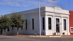 | First National Bank Building | building | 1983 | 83003154 |
 | I.M. and Margaret Newman House | building | 2003 | 03000771 |
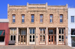 | R. A. Ragland Building | building | 1979 | 79003001 |
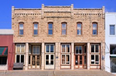 | Sweetwater Commercial Historic District | district | 1984 | 84001915 |
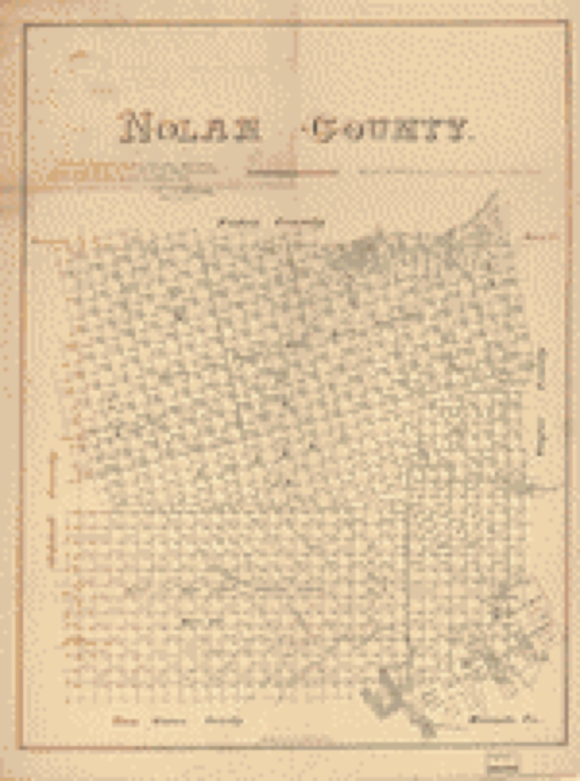
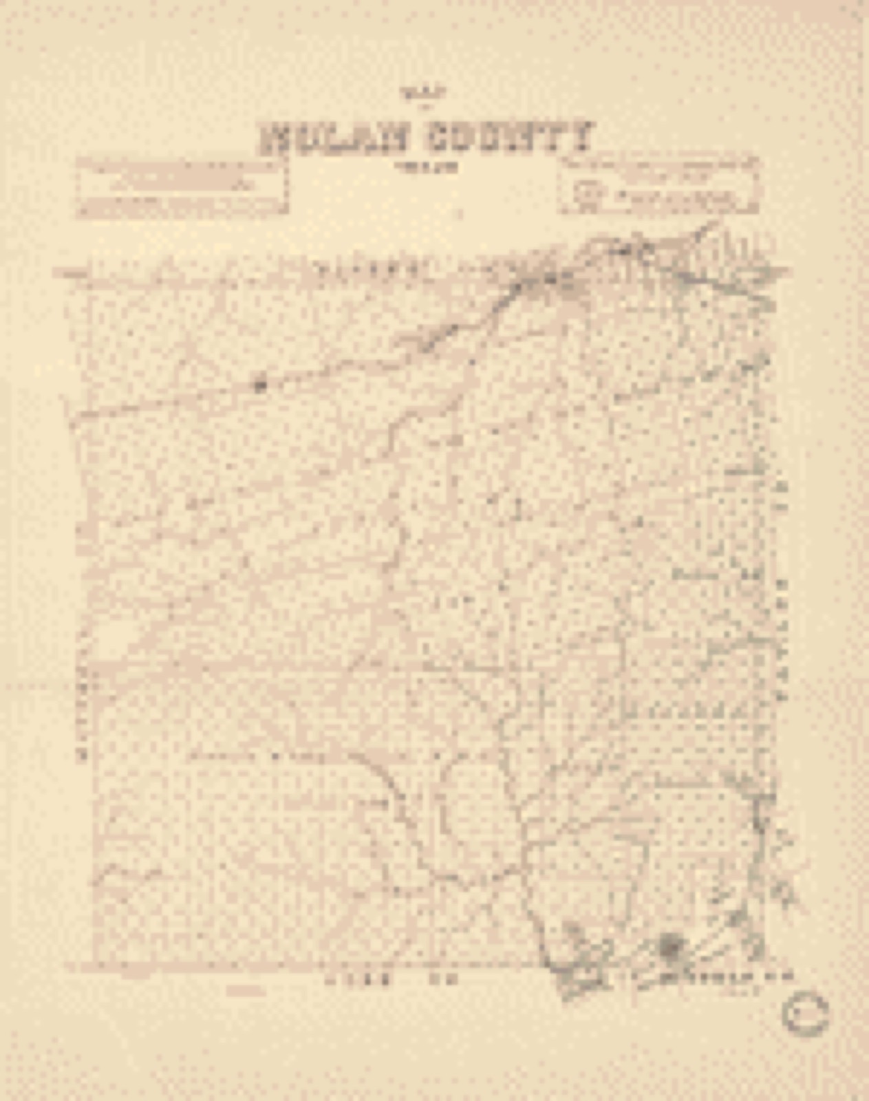
Drawn when these were printed as single large sheets: the town seen from the air, and the county divided into its farms with every owner named. Each opens the original at the Library of Congress.
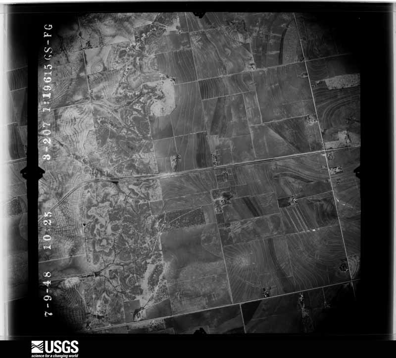
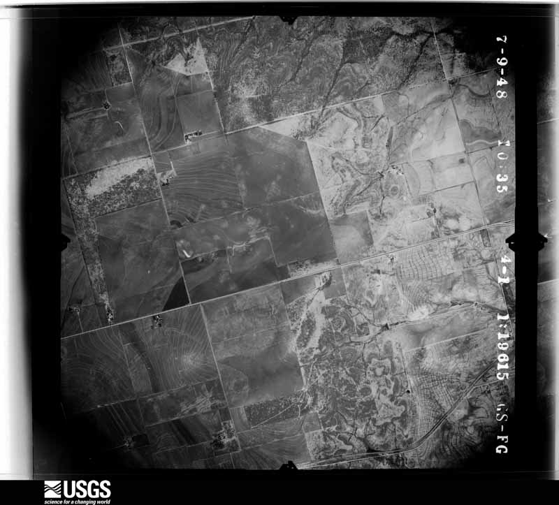
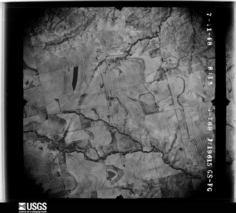
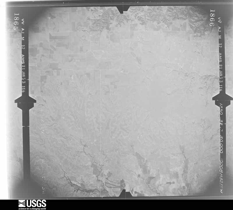
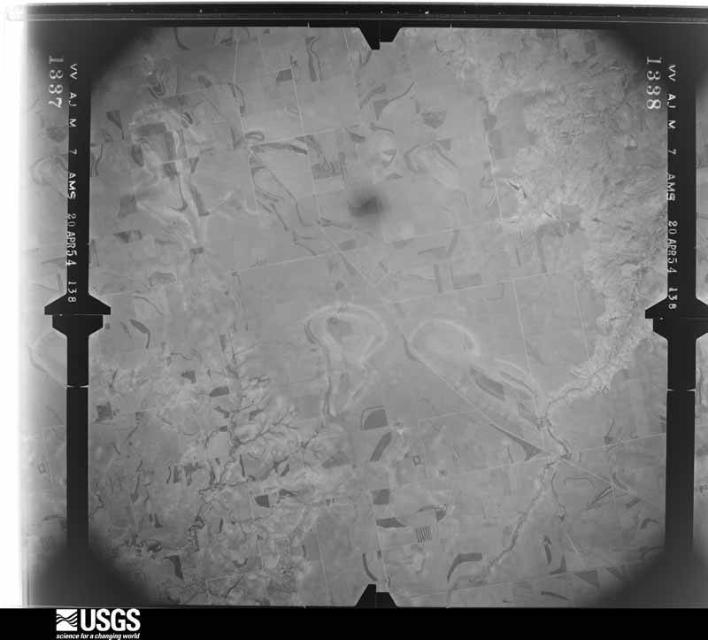
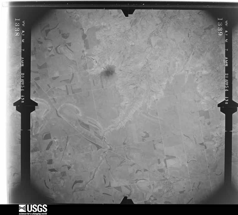
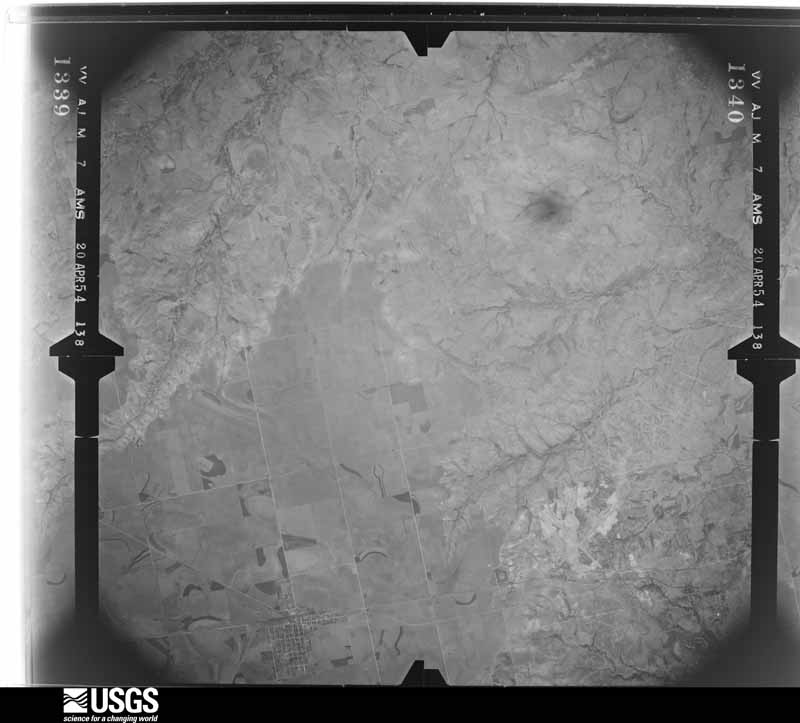
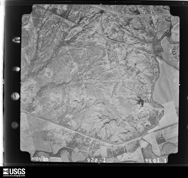
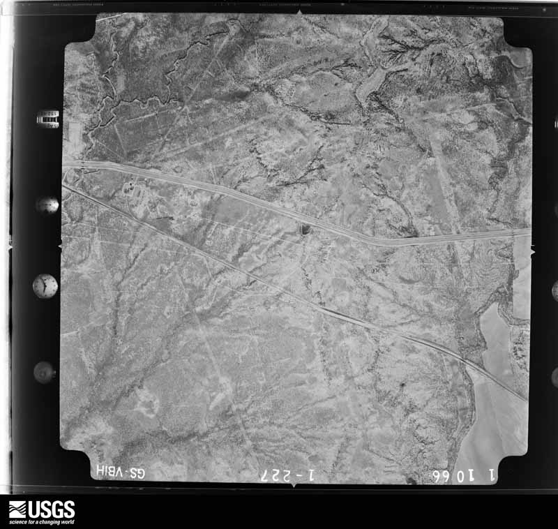
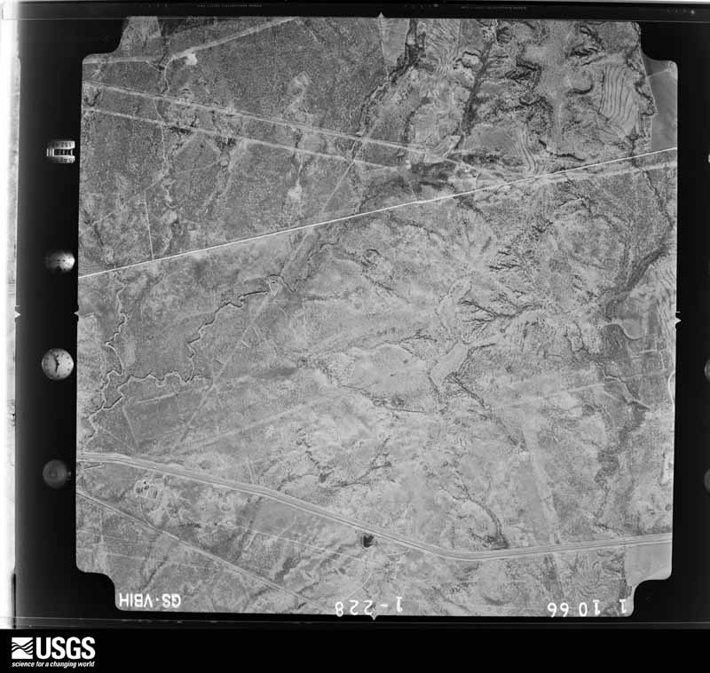
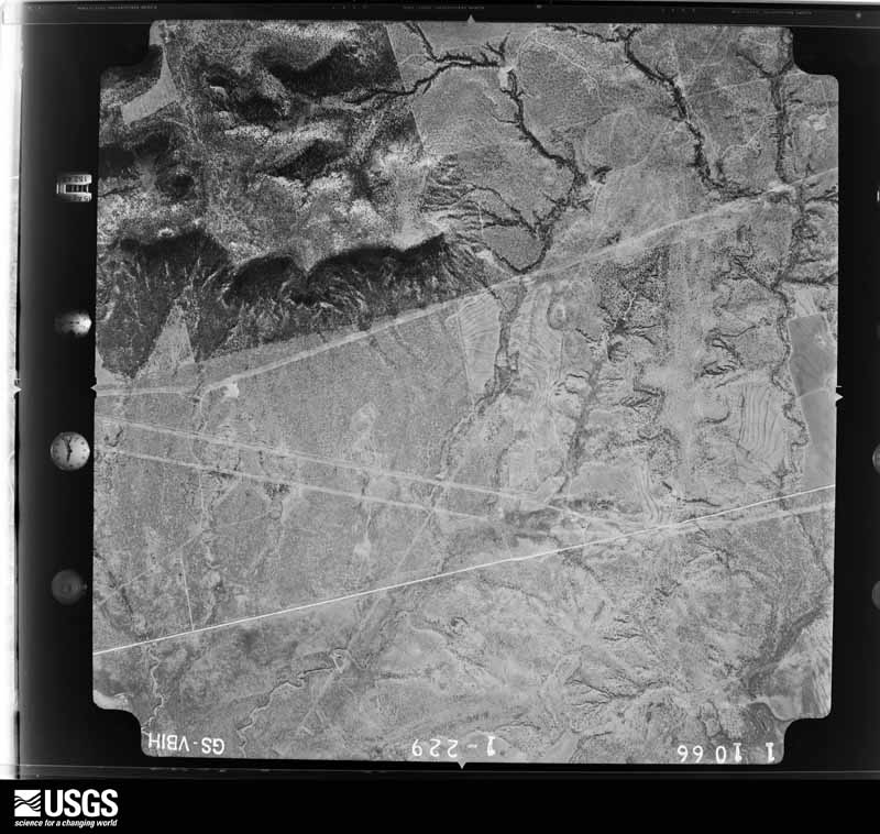
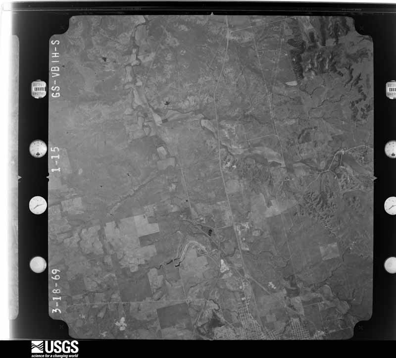
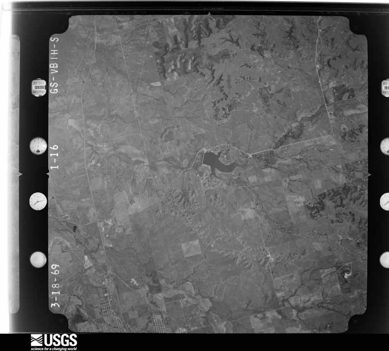
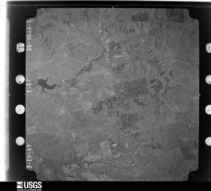
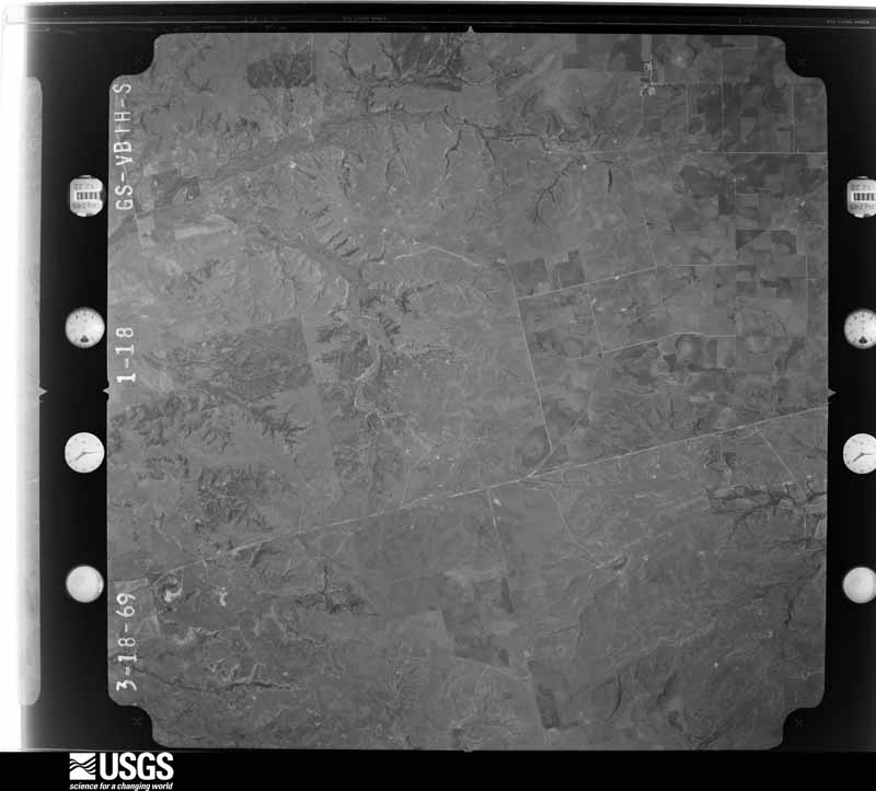
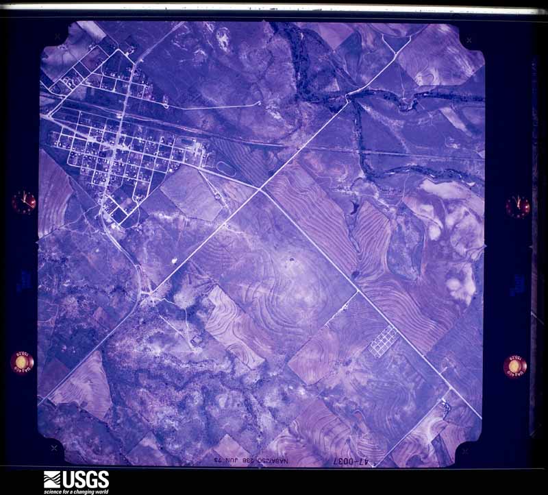
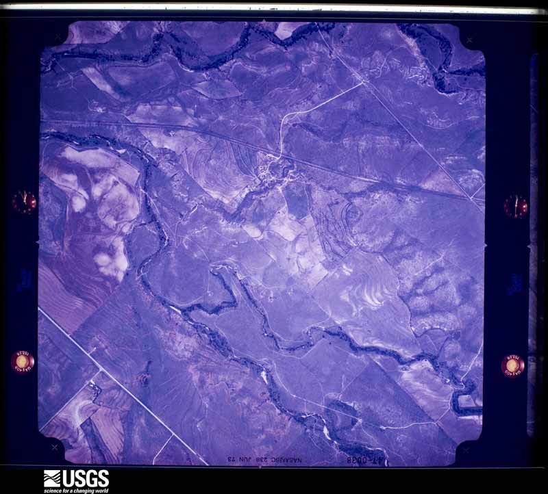
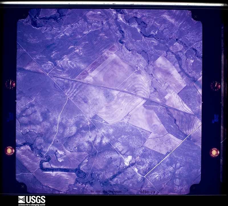
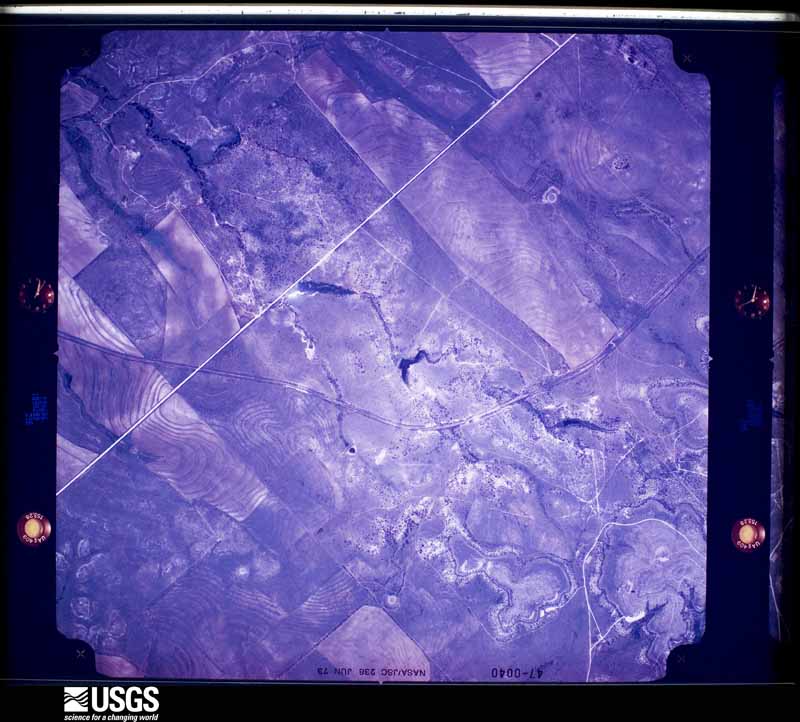
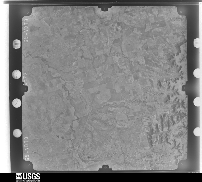
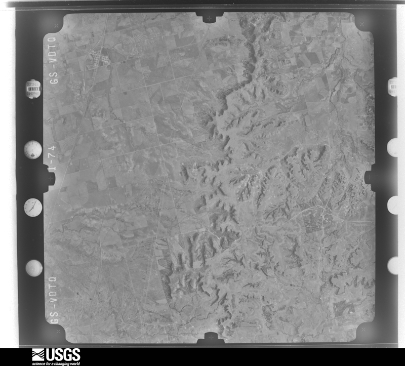
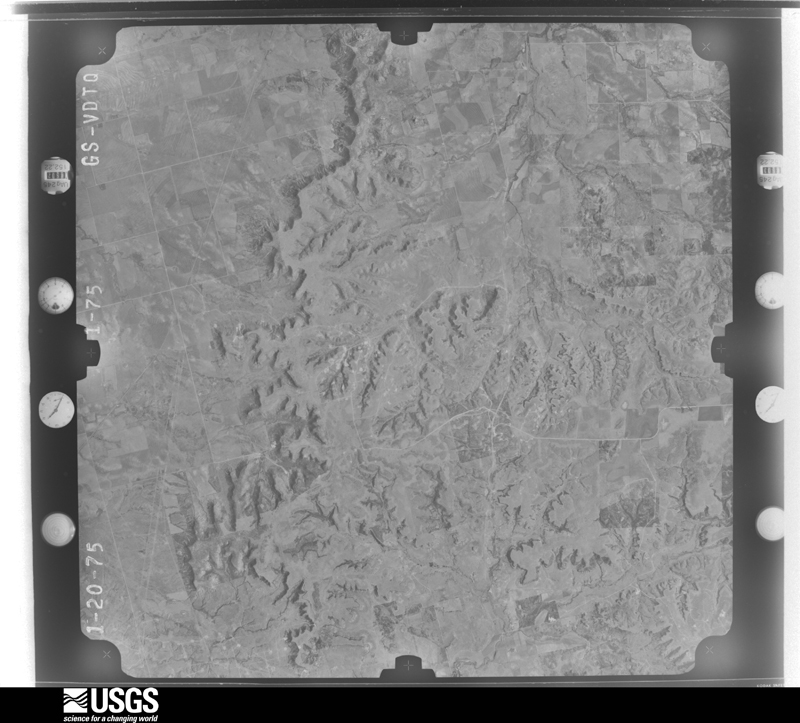
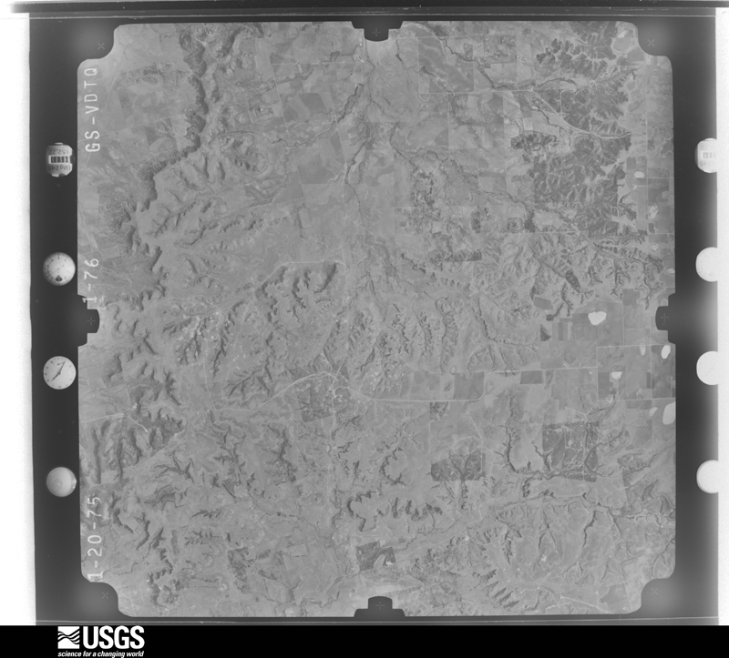
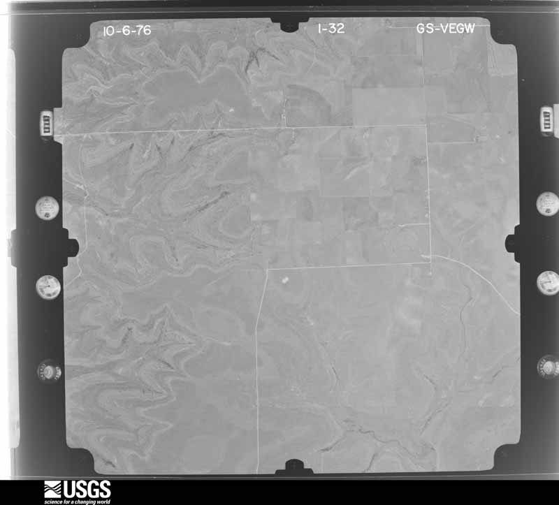
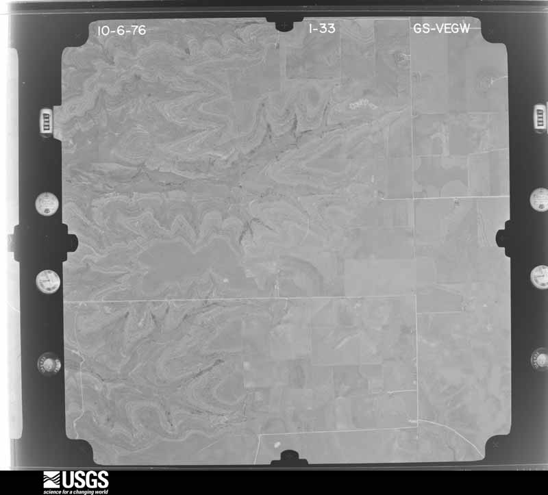
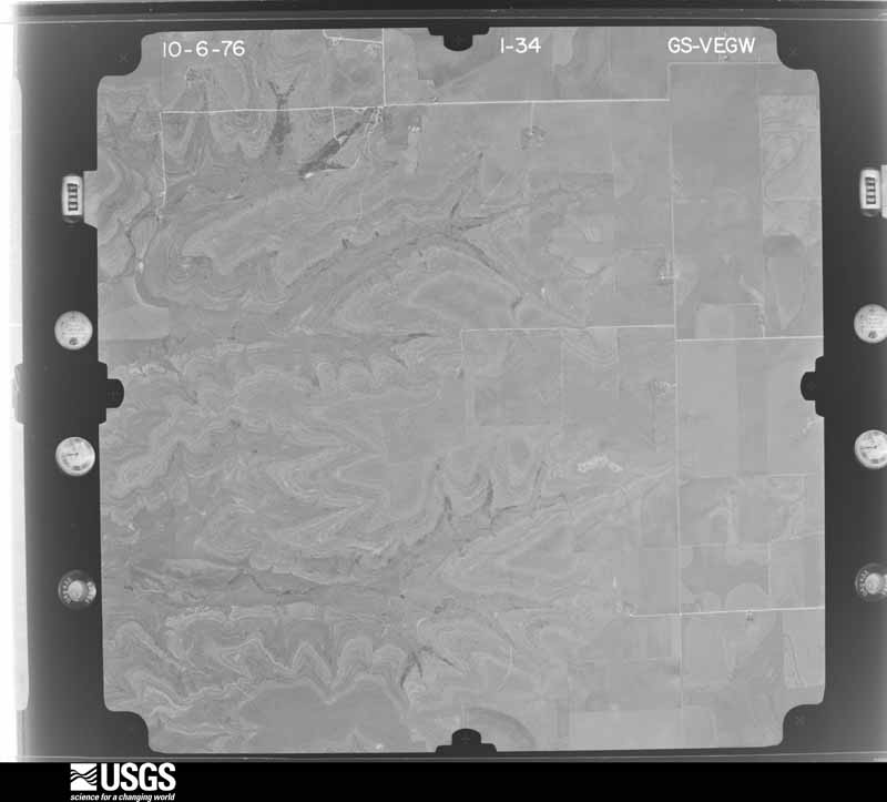
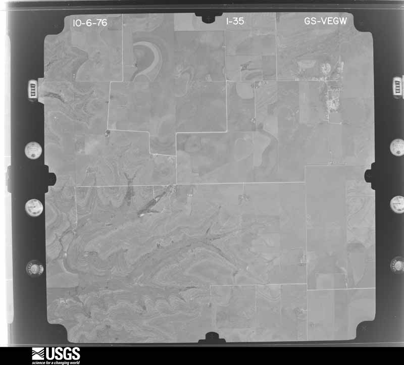
Flown by the U.S. Geological Survey between 1937 and 1989, the Aerial Photo Single Frames collection is the definitive mid-century view of the land: fields, roads and rivers as the camera saw them. The Survey holds 1,003 frames inside the rectangle that bounds this county; the 33 frames below were taken over the county itself, chosen across the decades of flights (at most four a year from that rectangle), so one flight cannot crowd out the rest. The full set is free to browse and download at EarthExplorer under the dataset Aerial Photo Single Frames.






The thermometers that kept this county's weather, as the federal records hold them. The extremes below are measured values from those records, not estimates.
Who lived here in 1950, one enumeration district at a time, as the Census Bureau described each district. Each row opens its official National Archives result, with Population Schedules and ED Maps available there.
Every wildfire the federal occurrence database records inside this county: 545 of them, burning about 43,362 acres. 55 started naturally and 6 were recorded as arson. Each settlement page carries the fires within five miles of it.
| Reported cause | Fires |
|---|---|
| Missing data/not specified/undetermined | 194 |
| Equipment and vehicle use | 101 |
| Power generation/transmission/distribution | 75 |
| Debris and open burning | 72 |
| Natural | 55 |
| Railroad operations and maintenance | 22 |
| Smoking | 12 |
| Recreation and ceremony | 6 |
| Arson/incendiarism | 6 |
| Misuse of fire by a minor | 2 |
The five largest, by the area the report gives. None of them was recorded as arson.
| Date | Cause | Size | Reported by | Name on the report |
|---|---|---|---|---|
| 11 July 2011 | Missing data/not specified/undetermined | 3,880 acres | Texas A & M Forest Service | NOLAN COUNTY COMPLEX |
| 7 September 1993 | Missing data/not specified/undetermined | 3,808 acres | Texas A & M Forest Service | BLUE ALLEGHENY FIRE |
| 13 July 2020 | Equipment and vehicle use | 3,271 acres | Texas A & M Forest Service | GAME RANCH |
| 24 July 2005 | Natural | 2,560 acres | Texas A & M Forest Service | ROLLING PLAINS - 18 |
| 16 February 2006 | Missing data/not specified/undetermined | 2,476 acres | Texas A & M Forest Service | CHAMPION |
| 7 July 2006 | Missing data/not specified/undetermined | 2,365 acres | Texas A & M Forest Service | WHITE HAT RANCH |
| 29 January 2008 | Missing data/not specified/undetermined | 2,000 acres | Texas A & M Forest Service | MARYNEAL |
| 30 July 2008 | Natural | 1,920 acres | Texas A & M Forest Service | PARK COMPLEX |
Every settlement page carries the fires within five miles of it - see the settlement index below.
The NOAA Storm Events Database holds 467 reports for this county, causing 2 deaths, 104 injuries and about $47,577,240 in recorded property damage. Each settlement page carries the reports that name it.
| Kind of event | Reports |
|---|---|
| Hail | 253 |
| Thunderstorm Wind | 131 |
| Tornado | 49 |
| Flash Flood | 26 |
| Flood | 4 |
| Lightning | 2 |
| Heavy Rain | 1 |
| Funnel Cloud | 1 |
The most serious of them, by death, then injury, then recorded damage. The accounts are quoted exactly as the forecast office filed them.
| When | Event | Place named | Harm | What the report says |
|---|---|---|---|---|
| April 1986 | Tornado (F3) | not stated | 1 killed, 100 hurt, $25,000,000 | no account filed |
| August 2022 | Thunderstorm Wind | Roscoe | 1 killed | The Nolan County Sheriff confirmed 6 accidents on I-20 near Roscoe, with 1 fatality caused by a tanker truck rolling over. Also, several jack-knifed 18-wheelers. No tornadoes reported. but locally strong winds were reported. Also, multiple power lines were blown down nearby. |
| May 1995 | Thunderstorm Wind | Sweetwater | 1 hurt, $1,000,000 | no account filed |
| March 2007 | Tornado (EF0) | Sweetwater | 1 hurt, $10,000 | The tornado began on Interstate 20 at Stink Creek Road and overturned a tractor trailer rig on the interstate. |
| May 2012 | Hail | Maryneal | 1 hurt | Hail broke several skylights in a home which resulted in minor cuts of a resident. |
| May 2012 | Lightning | Lake Trammell | 1 hurt | no account filed |
| May 2002 | Hail | Roscoe | $12,000,000 | Hail up to the size of baseballs fell for nearly 40 minutes on the city of Roscoe causing damage to the school. Numerous homes received roof and window damage. |
| March 2020 | Tornado (EF2) | Nolan | $2,000,000 | An EF-2 tornado touched down in southeast Nolan County and continued into Taylor County. About 14.5 miles southeast of Sweetwater, drone footage provided by AES Wind Generation Plant showed the EF-2 tornado damaged a large windmill turbine and tore off other windmill blades. The twister also caused roof damage to a residence and knocked down some high powered transmission poles and power lines. |
| May 2004 | Hail | Sweetwater | $1,500,000 | Several homes and businesses on the south side of Sweetwater received significant damage due to golf ball size hail in combination with 80 mph winds. |
| May 2004 | Thunderstorm Wind | Sweetwater | $1,500,000 | Significant damage was noted in the southern portions of Sweetwater due to 80 mph winds and golf ball size hail. |
| October 2018 | Flood | Wastella | $1,100,000 | Prolonged heavy rainfall flooded roads across Nolan County and this flooding damaged some roads and bridges in the county. This damage and flooding was exasperated by all of the rainfall since September. |
| June 1997 | Thunderstorm Wind | Blackwell | $1,000,000 | An intense swift moving thunderstorm from the Conco Valley to the Big Country, packing wind gusts to near 90 mph, the night of the 12th wreaked most of its havoc on the community of Blackwell. The storm felled large trees, damaged roofs, and destroyed at least one trailer home. No one was seriously injured in the storm, though one woman broke her ankle while entering a storm cellar at her home. |
| May 1995 | Hail | Sweetwater | $300,000 | no account filed |
| June 1997 | Thunderstorm Wind | Roscoe | $250,000 | Winds uprooted trees, downed power lines, and damaged roofs in northern Nolan County. |
| April 1985 | Tornado (F2) | not stated | $250,000 | no account filed |
| May 1982 | Tornado (F2) | not stated | $250,000 | no account filed |
| March 1973 | Tornado (F2) | not stated | $250,000 | no account filed |
| May 2004 | Tornado (F1) | Champion | $200,000 | An NWS survey team found evidence of tornado damage that extended from near Champion to about 3 miles east of Champion. Several power poles were snapped and a barn was totally destroyed. Irrigation equipment was also thrown about and twisted. |
| March 2004 | Tornado (F1) | Sweetwater | $100,000 | Numerous manufactured homes were damaged or destroyed by a tornado around Lake Sweetwater. |
| May 2004 | Thunderstorm Wind | Champion | $80,000 | The rear flank downdraft impacted the Champion community with estimated winds at 80 mph. Trees were uprooted and fell into several houses. |
| July 2009 | Thunderstorm Wind | Sweetwater | $50,000 | Severe thunderstorm wind gusts produced damage to several buildings and blew down several trees. |
| June 2001 | Thunderstorm Wind | Roscoe | $50,000 | Two homes northwest of Roscoe suffered extensive damage when thunderstorm winds blew through the area. Each home had extensive roof damage, allowing water to enter and cause most of the damage. |
| August 1997 | Thunderstorm Wind | Sweetwater | $50,000 | Winds blew down several trees and power poles. One pole fell on a house. There was also damage to a barn. Car windows were blown in.Single cell thunderstorms developed over the western Big Country in the mid summer daytime heating. Although deep convection was inhibited by very warm air aloft, the thunderstorms collapsed quickly and produced microburst winds. |
| June 1997 | Flash Flood | Sweetwater | $50,000 | Street flooding occurred on the south side of Sweetwater while Highway 70 just north of the town was flooded. About two to four inches of rain fell but some nearby locations received much more. Farm Road 1170 between Mayneal and Blackwell was more than six feet under water from nine inches of rain. |
| May 1993 | Thunderstorm Wind | Sweetwater | $50,000 | The Nolan County Sheriff's Office and the public reported downburst winds to 70 miles an hour in Sweetwater. The wind damaged roofs and downed power lines and trees. |
| June 1997 | Flash Flood | Sweetwater | $50,000 | no account filed |
| May 1995 | Thunderstorm Wind | Roscoe | $50,000 | no account filed |
| October 1994 | Thunderstorm Wind | Sweetwater | $50,000 | no account filed |
| June 1997 | Flash Flood | Sweetwater | $40,000 | Many roads were impassable. |
| May 2002 | Hail | Sweetwater | $30,000 | Several motorists on Interstate 20 east of Sweetwater encountered baseball size hail that produced damage to their vehicles. |
| July 2005 | Thunderstorm Wind | Roscoe | $25,000 | Strong thunderstorm winds damaged a silo, and overturned three semi trucks traveling on Interstate 20 near Roscoe. |
| September 1997 | Thunderstorm Wind | Roscoe | $25,000 | The winds overturned two tractor semi-trailers on Interstate 20. Ten power poles were also blown over. |
| May 1997 | Hail | Maryneal | $25,000 | no account filed |
| March 1997 | Thunderstorm Wind | Sweetwater | $25,000 | no account filed |
| April 1986 | Tornado (F1) | not stated | $25,000 | no account filed |
| April 1985 | Tornado (F0) | not stated | $25,000 | no account filed |
| June 2001 | Thunderstorm Wind | Roscoe | $20,000 | Four tractor trailers were blown over by winds estimated at 70 mph on Highway 84 northwest of Roscoe. |
| July 2005 | Thunderstorm Wind | Maryneal | $18,000 | Numerous power poles were knocked down. |
| May 2002 | Hail | Maryneal | $15,000 | A severe thunderstorm produced damage to several cars at a camp near Maryneal. |
| April 2003 | Thunderstorm Wind | Sweetwater | $10,000 | Strong thunderstorms knocked down trees and power lines in Sweetwater. There were numerous windows blown out of homes and businesses. |
| March 2000 | Lightning | Blackwell | $8,500 | Lightning struck an oil field tank battery shortly after midnight, causing two of the tanks to catch fire. |
| April 2007 | Hail | Sweetwater | $8,000 | The hail Size increased to Baseball size on Ranch Road 419 near the Fisher and Nolan County line. |
| May 2004 | Tornado (F0) | Roscoe | $8,000 | A brief tornado track was surveyd just to the south of Roscoe. A shed was destroyed. |
| May 2002 | Hail | Sweetwater | $8,000 | Golfball size hail produce roof and window damage to a house near Lake Sweetwater. |
| May 2005 | Tornado (F0) | Nolan | $6,000 | The tornado damaged weak structures such as sheds. A windmill was demolished and some trees were shredded. |
| April 2008 | Thunderstorm Wind | Nolan | $5,000 | A car was blown over. |
| May 2003 | Thunderstorm Wind | Nolan | $5,000 | Roofs torn off of buildings and large trees blown down. |
| May 2002 | Thunderstorm Wind | Sweetwater | $5,000 | High thunderstorm winds blew down several trees at the Lake Sweetwater Country Club. One house had some slight damage due to the winds. |
| June 2001 | Thunderstorm Wind | Sweetwater | $5,000 | Thunderstorm winds downed trees, ripped shingles off roofs, and knocked down power lines across the city of Sweetwater. |
| May 1999 | Thunderstorm Wind | Sweetwater | $5,000 | Thunderstorm winds estimated at 70 to 80 mph severely damaged a carport and broke large limbs off of trees in the Lake Sweetwater area. One house also suffered minor roof damage. |
| June 1999 | Thunderstorm Wind | Sweetwater | $5,000 | Damaging winds swept through the community of Sweetwater. A brick wall was toppled and a carport suffered minor damage. A radio tower was also blown over, with tree limbs snapped throughout the city. |
| July 1998 | Thunderstorm Wind | Sweetwater | $5,000 | The roof of a commercial building was ripped off by high winds, with debris from the roof damaging a passing car. |
| March 1993 | Hail | Nolan | $5,000 | Baseball-size hail broke the windshield of a storm spotter's vehicle near Nolan. |
| May 1994 | Thunderstorm Wind | Blackwell | $5,000 | no account filed |
| August 2003 | Thunderstorm Wind | Blackwell | $4,000 | Large tree limbs were blown down. |
| June 2003 | Thunderstorm Wind | Blackwell | $3,000 | Roof was blown off of a mobile home. |
| June 2003 | Thunderstorm Wind | Roscoe | $3,000 | Strong winds knocked down some power poles in Roscoe. |
| April 1972 | Tornado (F1) | not stated | $2,500 | no account filed |
| May 2002 | Thunderstorm Wind | Champion | $2,000 | High winds destroyed a pivot irrigation system. |
| September 1999 | Thunderstorm Wind | Sweetwater | $2,000 | Several power lines and small trees were blown down across the city. |
The Survey's mineral resources record lists 22 workings inside this county. 12 still produce and 10 are closed or unrecorded. Each settlement page carries the workings within five miles of it.
| Commodity | Workings |
|---|---|
| Strontium | 9 |
| Gypsum-Anhydrite | 6 |
| Sand and Gravel, Construction | 3 |
| Perlite | 2 |
| Copper | 1 |
| Limestone, General | 1 |
| Stone, Crushed/Broken | 1 |
| Clay | 1 |
The least common of them first, because a county's hundredth gravel pit says nothing its first ten did not.
| Where | Site | Commodity | Status | Recorded |
|---|---|---|---|---|
| Lonestar Clay Pit | Clay | Producer | ||
| Mary-Neal Cement Plant | Stone, Crushed/Broken | Producer | ||
| Maryneal Quarry | Limestone, General | Producer | Sedimentary | |
| White Hat Ranch-1 | Copper | Occurrence | 1972 | |
| Sweetwater Gypsum Plant | Gypsum-Anhydrite, Perlite | Producer | ||
| Sweetwater Gypsum Quarry | Gypsum-Anhydrite, Perlite | Producer | ||
| Hillsdale Pit & Plant | Sand and Gravel, Construction | Producer | ||
| Maryneal Sand Pit | Sand and Gravel, Construction | Producer | ||
| Stevenson Property | Sand and Gravel, Construction | Producer | ||
| Kennedy Mine | Gypsum-Anhydrite | Producer | Sedimentary | |
| Sweetwater Plant | Gypsum-Anhydrite | Producer | ||
| Unnamed Quarry | Gypsum-Anhydrite | Producer | Sedimentary | |
| Unnamed Quarry | Gypsum-Anhydrite | Producer | Sedimentary | |
| Boothe Mine | Strontium | Past Producer | Celestite | |
| Evans Prospect | Strontium | Occurrence | Celestite | |
| Hopkins Prospect | Strontium | Occurrence | Celestite | |
| Jordan Occurrence | Strontium | Occurrence | Celestite | |
| Mcfarlane and Moore Prospect | Strontium | Occurrence | Celestite | |
| Oden Occurrence | Strontium | Occurrence | Celestite | |
| Scott and Roy Occurrence | Strontium | Occurrence | Celestite | |
| Somnerville Occurrence | Strontium | Occurrence | Celestite | |
| Whitesides Jr. Occurrence | Strontium | Occurrence | Celestite |
Named settlements recorded in the Geographic Names Information System, each with the topographic sheets covering it. Villages, hamlets and abandoned places alike. Each is shown with the nearest named watercourse or landform and the survey quadrangle it falls on.
Blackwell-Nolan census division · 79506 · On North Branch Oak Creek · Blackwell quadrangle
13 sheets, 1893 to 1985
Blackwell-Nolan census division · 79506 · Near Magness Draw · Hylton quadrangle
12 sheets, 1893 to 1985
Sweetwater census division · 79556 · Near Wolf Hollow · Busby quadrangle
12 sheets, 1893 to 1985
Sweetwater census division · 79556 · On Finn Creek · Sweetwater quadrangle
13 sheets, 1893 to 1985
Sweetwater census division · 79556 · Near Wolf Hollow · Sweetwater quadrangle
13 sheets, 1893 to 1985