 Block
BlockFrom the record
1 National Register listing published here.
Sources: the National Register database, National Park Service
28 topographic sheets cover 12 settlements here, and 1 property is on the National Register of Historic Places.
1 National Register listing published here.
Sources: the National Register database, National Park Service
Every property in this county listed on the National Register of Historic Places, with the year it was listed and the federal nomination document.
| Photograph | Property | Type | Listed | Reference |
|---|---|---|---|---|
 | Parmer County Courthouse | building | 2019 | 100003490 |
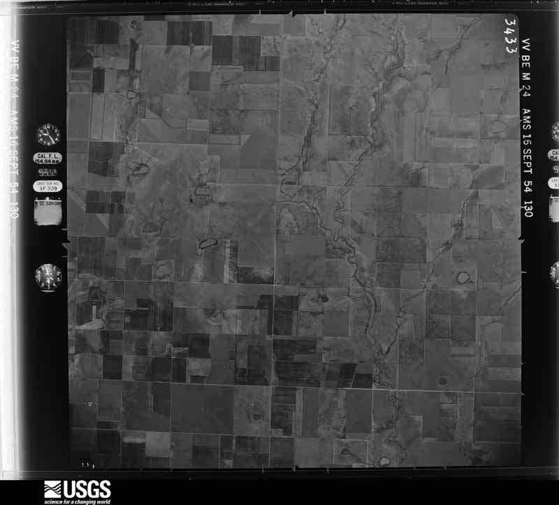
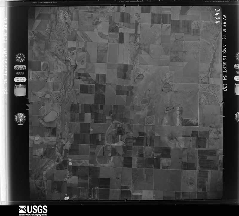
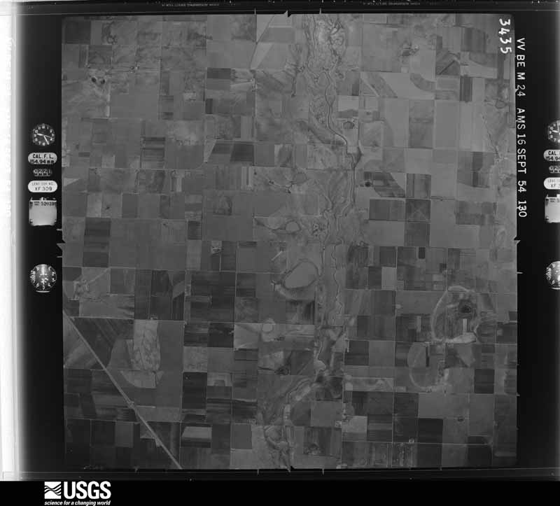
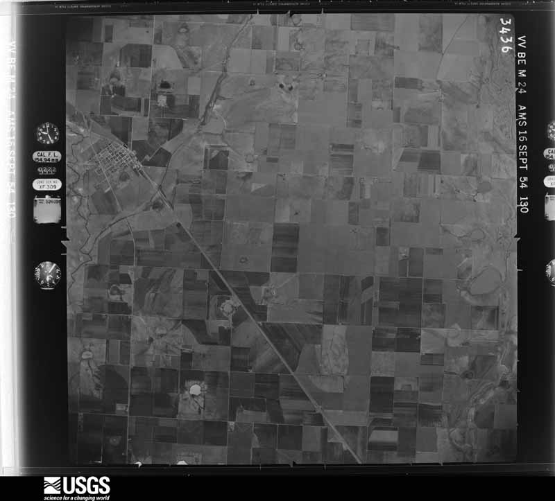
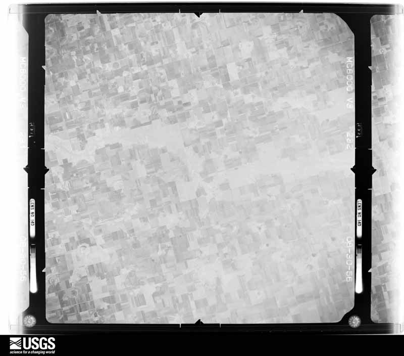
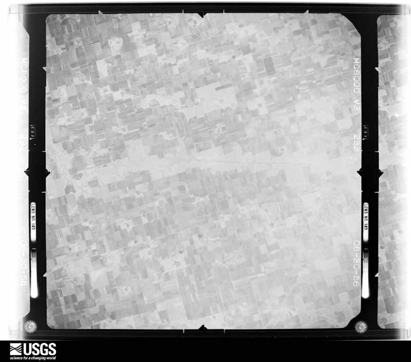
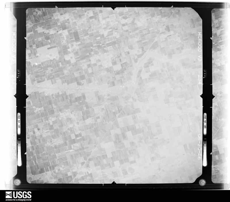
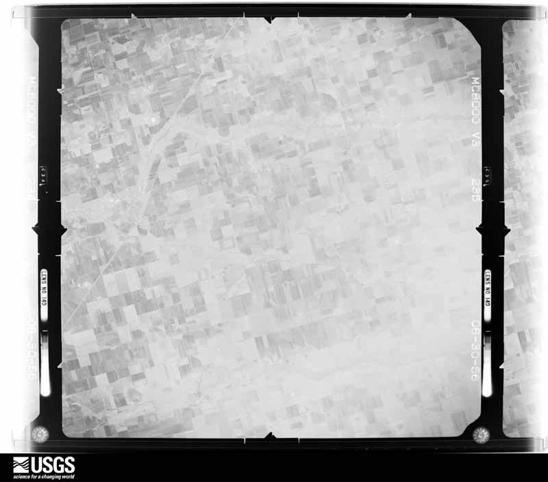
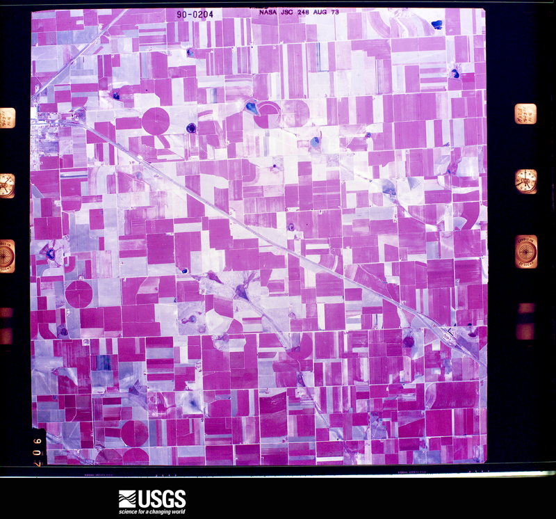
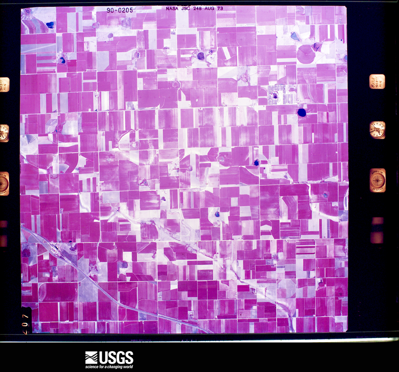
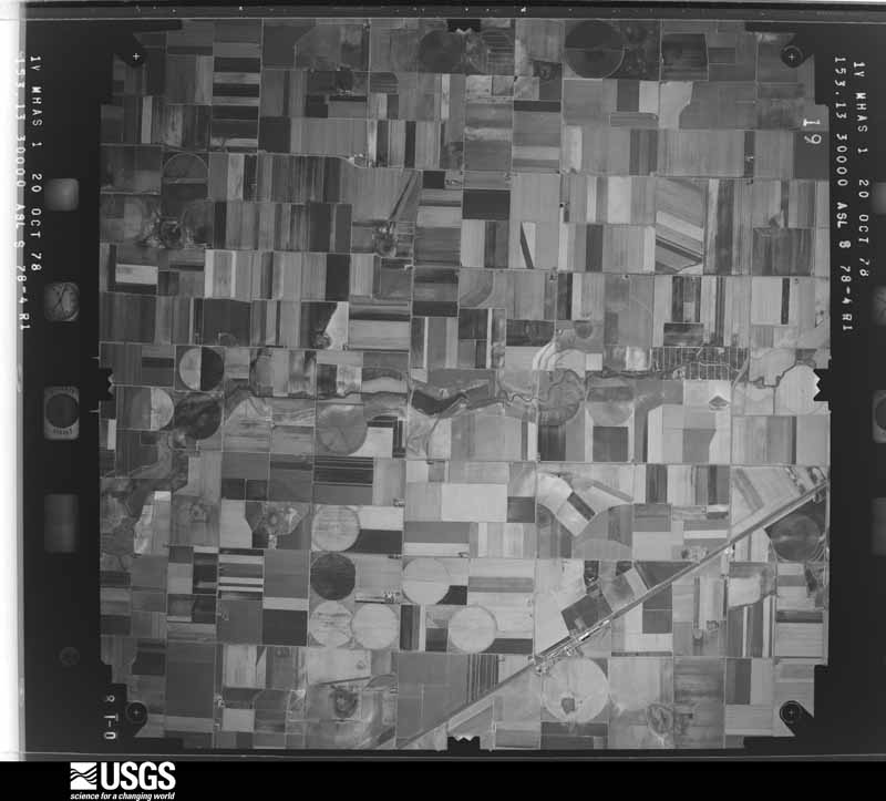
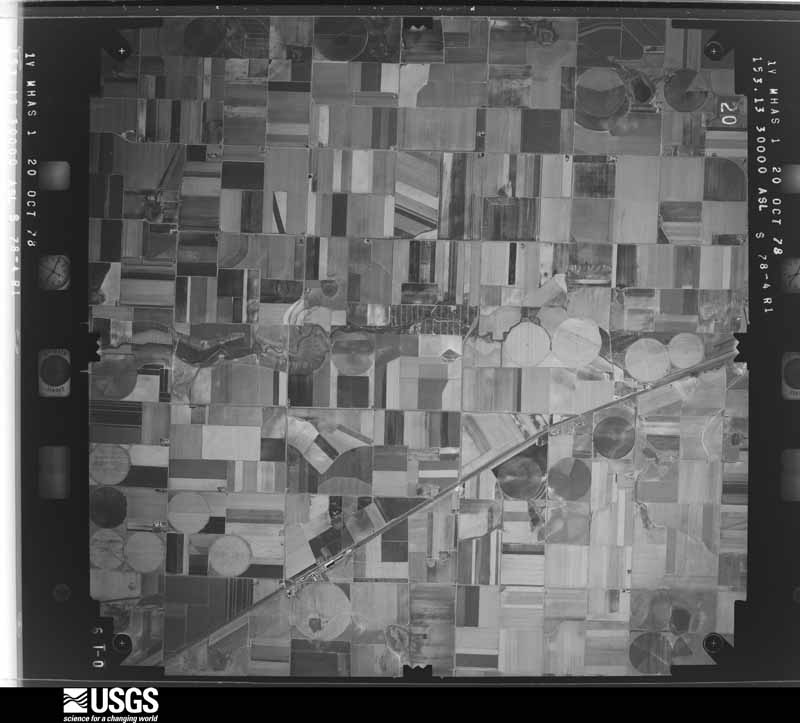
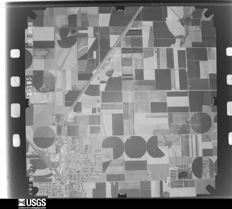
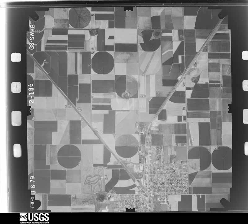
Flown by the U.S. Geological Survey between 1937 and 1989, the Aerial Photo Single Frames collection is the definitive mid-century view of the land: fields, roads and rivers as the camera saw them. The Survey holds 435 frames inside the rectangle that bounds this county; the 20 frames below were taken over the county itself, chosen across the decades of flights (at most four a year from that rectangle), so one flight cannot crowd out the rest. The full set is free to browse and download at EarthExplorer under the dataset Aerial Photo Single Frames.


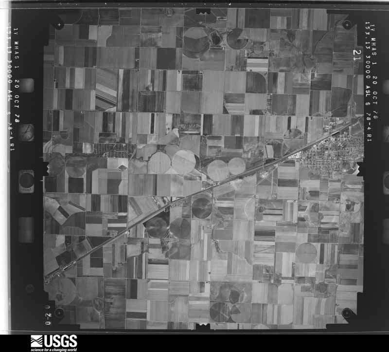
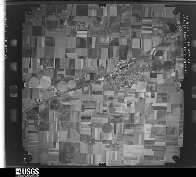
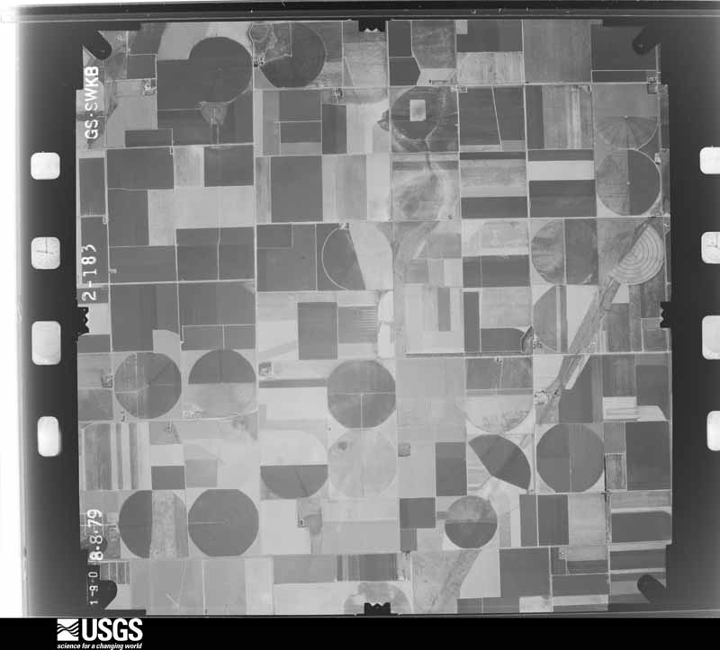
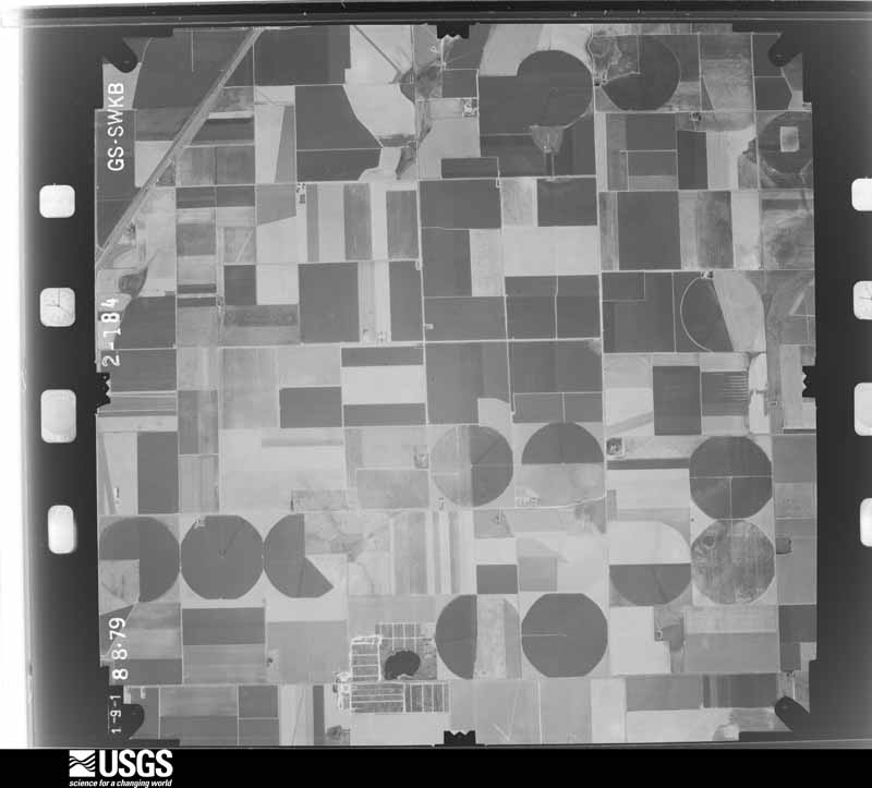
The thermometers that kept this county's weather, as the federal records hold them. The extremes below are measured values from those records, not estimates.
Who lived here in 1950, one enumeration district at a time, as the Census Bureau described each district. Each row opens its official National Archives result, with Population Schedules and ED Maps available there.
Every wildfire the federal occurrence database records inside this county: 60 of them, burning about 6,744 acres. 6 started naturally and none was recorded as arson. Each settlement page carries the fires within five miles of it.
| Reported cause | Fires |
|---|---|
| Debris and open burning | 18 |
| Missing data/not specified/undetermined | 15 |
| Equipment and vehicle use | 12 |
| Natural | 6 |
| Power generation/transmission/distribution | 5 |
| Smoking | 3 |
| Railroad operations and maintenance | 1 |
The five largest, by the area the report gives. None of them was recorded as arson.
| Date | Cause | Size | Reported by | Name on the report |
|---|---|---|---|---|
| 14 June 2020 | Power generation/transmission/distribution | 2,000 acres | Texas A & M Forest Service | M11 FIRE |
| 26 May 2006 | Natural | 1,500 acres | Texas A & M Forest Service | not named |
| 19 May 2020 | Power generation/transmission/distribution | 650 acres | Texas A & M Forest Service | RHEA FIRE |
| 9 February 2006 | Missing data/not specified/undetermined | 372 acres | Texas A & M Forest Service | WEST ZONE WEST - 58 |
| 7 March 2006 | Debris and open burning | 300 acres | Texas A & M Forest Service | MIMMS FIRE |
| 25 September 2011 | Equipment and vehicle use | 250 acres | Texas A & M Forest Service | BANDY |
| 8 March 2006 | Natural | 200 acres | Texas A & M Forest Service | not named |
| 21 May 2006 | Natural | 200 acres | Texas A & M Forest Service | not named |
Every settlement page carries the fires within five miles of it - see the settlement index below.
The NOAA Storm Events Database holds 377 reports for this county, causing 1 death, 20 injuries and about $32,862,090 in recorded property damage. Each settlement page carries the reports that name it.
| Kind of event | Reports |
|---|---|
| Hail | 196 |
| Thunderstorm Wind | 114 |
| Tornado | 50 |
| Flash Flood | 11 |
| Flood | 4 |
| Heavy Rain | 1 |
| Funnel Cloud | 1 |
The most serious of them, by death, then injury, then recorded damage. The accounts are quoted exactly as the forecast office filed them.
| When | Event | Place named | Harm | What the report says |
|---|---|---|---|---|
| April 1970 | Tornado (F4) | not stated | 1 killed, 3 hurt, $2,500,000 | no account filed |
| June 1995 | Tornado (F3) | Friona | 12 hurt, $24,000,000 | Storm survey indicated a strong tornado swept across the southern and eastern edge of Friona destroying 14 homes and damaging another 25. Another 25 businesses were destroyed or heavily damaged. Of the 12 injuries only one was critical, a 68-year-old male. The largest employer in town, the Hi-Pro Feed Mill was completely demolished, as well as the airport. A train was derailed and toppled on the west side of town, but this was not along the damage path. Straight-line winds or rear flank downdraft may have been responsible for this. |
| April 1960 | Tornado (F2) | not stated | 3 hurt, $2,500 | no account filed |
| May 1991 | Tornado (F2) | not stated | 1 hurt, $250,000 | no account filed |
| October 1960 | Tornado (F3) | not stated | 1 hurt, $250,000 | no account filed |
| March 1992 | Tornado (F2) | not stated | $2,500,000 | no account filed |
| June 2008 | Hail | Friona | $500,000 | Local law enforcement officials reported that golf ball size hail was occasionally mixed with stones up to the size of baseballs in Friona. The very large hail caused widespread damage across the city, with a number of vehicles and structures sustaining hail damage. The hail punctured a portion of the town's elementary school, and subsequently contributed to flooding several class rooms. No injuries were reported. |
| June 1995 | Thunderstorm Wind | Friona | $500,000 | Storm survey indicated a strong tornado swept across the southern and eastern edge of Friona destroying 14 homes and damaging another 25. Another 25 businesses were destroyed or heavily damaged. Of the 12 injuries only one was critical, a 68-year-old male. The largest employer in town, the Hi-Pro Feed Mill was completely demolished, as well as the airport. A train was derailed and toppled on the west side of town, but this was not along the damage path. Straight-line winds or rear flank downdraft may have been responsible for this. |
| July 2016 | Thunderstorm Wind | Friona Benger Arpk | $350,000 | A Texas Tech University West Texas mesonet measured two severe wind gusts during a downburst. The first gust of 77 mph occurred at 845 PM CST followed by a gust to 67 mph at 850 PM CST. About two miles northeast of this mesonet, a meteorologist with Texas Tech University discovered damage consistent with winds around 90 mph. This damage consisted of three completely destroyed center pivots, about one mile of heavily damaged or flattened sorghum crops, two collapsed grain silos, moderate damage to a barn, and light to moderate damage to several hundred acres of corn crops. The value assigned to these large center pivot irrigation systems is estimated at $80,000 per unit. |
| June 1992 | Tornado (F1) | not stated | $250,000 | no account filed |
| March 1992 | Tornado (F1) | not stated | $250,000 | no account filed |
| February 1980 | Tornado (F1) | not stated | $250,000 | no account filed |
| June 1980 | Tornado (F2) | not stated | $250,000 | no account filed |
| July 2009 | Thunderstorm Wind | Friona | $100,000 | A complex of severe thunderstorms, which included an embedded high-precipitation supercell, were accompanied by damaging winds over parts of Parmer County during the 17:00 CST hour of the 17th. The Texas Tech University West Texas Mesonet site near Friona initially recorded a 71 mph wind gust at 17:15 CST. By 17:57 CST, a 79 mph gust was measured by the KVII-TV Schoolnet site in Lazbuddie. Local newspaper reports indicate that the winds were accompanied by a blinding dust storm. A number of utility poles were downed and power outages were reported. Damages also were reported to several center pivot irrigation systems. No injuries were reported. |
| May 1995 | Thunderstorm Wind | Lazbuddie | $100,000 | no account filed |
| May 2013 | Hail | Friona | $75,000 | Multiple reports of large hail ranging from quarter size to golf ball size were received from Friona to about four miles east of Friona between 1609 and 1626 CST. Minor damage to vehicles and homes in Friona was common. The extent of damage to area crops, particularly young corn, was unknown. |
| March 2007 | Tornado (EF0) | Bovina | $75,000 | The Bovina Police Department reported seeing a funnel cloud approach the city from the southwest. A National Weather Service survey team documented damage from a weak tornado that developed in a Bovina city park and moved northeastward through a residential area. Large tree limbs up to five inches in diameter were blown down, storage sheds were destroyed, and several homes sustained roof and window damage. On the north edge of the city, a carport was destroyed with debris wrapped around a large tree. Additionally, windows were blown out of an adjacent mobile home. Power outages were widespread across the city. |The tornado continued to track northward where it destroyed a horse stable at a farm northeast of the city. No injuries were reported. Many residents sought shelter in basements and left trailer houses for more substantial structures. Damage estimates totaled $75,000. |
| May 1995 | Thunderstorm Wind | Lazbuddie | $75,000 | no account filed |
| June 2013 | Hail | Friona | $50,000 | Trained spotters, law enforcement, and the public reported a swath of hail ranging in sizes from golf balls to baseballs in the town of Friona. The large, wind-driven hail caused damage to several vehicles including a police cruiser in Friona. |
| May 2002 | Hail | Bovina | $50,000 | The Parmer County Sheriff's Office reported golfball size hail. |
| June 1998 | Hail | Bovina | $50,000 | no account filed |
| September 1995 | Thunderstorm Wind | Bovina | $50,000 | no account filed |
| August 2006 | Thunderstorm Wind | Friona | $30,000 | A complex of severe thunderstorms propagated southeastward over the extreme southwestern Texas Panhandle during the late evening hours of the 27th. This activity resulted in damaging winds near Friona. A 64 mph wind gust was measured by the Texas Tech University West Texas Mesonet site just northeast of the city at 23:20 CST. The Parmer County Sheriff's Office reported estimated winds between 60 and 70 mph between 23:30 and 23:50 CST. These winds damaged multiple light weight structures and downed utility lines across the city. At least two large carports were destroyed by the winds. Three additional structures suffered moderate roof damage, including a large grain elevator. Electrical services were finally restored to the city around 03:00 CST on the 28th. No injuries were reported. |
| June 2015 | Hail | Friona | $25,000 | Broadcast media relayed social media photos of golf ball size hail and some minor damage to cars in Friona. |
| October 2000 | Thunderstorm Wind | Friona | $25,000 | Strong wind turned over a trailer house and destroyed it. Several roofs were also removed from outbuildings by thunderstorm wind. |
| April 1998 | Thunderstorm Wind | Friona | $25,000 | Wind damage to roofs and trees reported by Friona Police Dept. |
| May 1991 | Tornado (F1) | not stated | $25,000 | no account filed |
| May 1991 | Tornado (F0) | not stated | $25,000 | no account filed |
| June 1983 | Tornado (F1) | not stated | $25,000 | no account filed |
| June 1964 | Tornado (F2) | not stated | $25,000 | no account filed |
| June 1964 | Tornado (F2) | not stated | $25,000 | no account filed |
| June 1964 | Tornado (F1) | not stated | $25,000 | no account filed |
| August 2012 | Thunderstorm Wind | Friona Benger Arpk | $20,000 | A collapsing thunderstorm produced destructive downburst winds measured up to 88 mph by a Texas Tech University West Texas mesonet station northeast of Friona. Two quarter-mile long irrigation pivots located just east of the mesonet were flipped over. In Friona, similar winds caused widespread light to moderate structural damage mostly to fences, roofs and trees. A hangar door at the airport also sustained damage. |
| March 2007 | Thunderstorm Wind | Black | $20,000 | Severe thunderstorm winds resulted in damage to at least three trailer homes and other lightweight structures in Black. This consisted of minor roof damage and the removal of siding. A horse trailer was also destroyed. A National Weather Service survey team found no evidence of a tornado. |
| August 2002 | Thunderstorm Wind | Friona | $20,000 | Eight cars of a train were derailed due to high thunderstorm winds. |
| June 2004 | Thunderstorm Wind | Black | $10,000 | Strong thunderstorm winds snapped power lines and blew over power poles. |
| May 2001 | Thunderstorm Wind | Farwell | $10,000 | Television weathercasters from the Amarillo area estimated 80 mph wind gusts near town. The wind blew down power lines, trees, and large tree limbs. |
| June 2013 | Thunderstorm Wind | Black | $5,000 | A local Emergency Manager relayed a report from a train crew in Summerfield - 47 train cars derailed with 42 being blown over by severe thunderstorm outflow winds. No cargo spilled and no injuries were reported. |
| June 2008 | Thunderstorm Wind | Bovina | $5,000 | Reports from the Bovina Police Department described a blinding wall of dust that accompanied approaching outflow winds as severe storms moved out of New Mexico and impacted Bovina shortly after 18:00 CST on the 23rd. The Police Chief estimated wind gusts around 65 mph along U.S. Highway 60 just southwest of the city shortly at 18:05 CST. By 18:10 CST law enforcement officials reported that a roof had been blown off of a tin storage shed in Bovina. |
| June 2003 | Thunderstorm Wind | Friona | $5,000 | Strong thunderstorm wind destroyed a shed. |
| June 2002 | Thunderstorm Wind | Lazbuddie | $5,000 | Strong thunderstorm winds destroyed a barn. |
| May 2000 | Hail | Friona | $5,000 | Large hail destroyed cotton, corn, and wheat crops. |
| July 1998 | Hail | Black | $5,000 | no account filed |
| April 2017 | Hail | Bovina | $3,000 | A storm chaser reported hail up to baseball size along US Highway 60 northeast of Bovina. Some storm chasers and a law enforcement vehicle received damage to their windshields. |
| April 2001 | Thunderstorm Wind | Bovina | $3,000 | Strong thunderstorm wind blew down power lines and damaged the roof of a barn. |
| May 1991 | Tornado (F0) | not stated | $2,500 | no account filed |
| May 1969 | Tornado (F2) | not stated | $2,500 | no account filed |
| March 1967 | Tornado (F2) | not stated | $2,500 | no account filed |
| June 1965 | Tornado (F1) | not stated | $2,500 | no account filed |
| May 1957 | Tornado (F2) | not stated | $2,500 | no account filed |
| May 2010 | Hail | Lariat | $1,000 | The public reported large hail to the size of 2 inches which destroyed a car windshield. |
| June 1983 | Tornado (F0) | not stated | $30 | no account filed |
| July 1980 | Tornado (F0) | not stated | $30 | no account filed |
| June 1964 | Tornado (F2) | not stated | $30 | no account filed |
| May 1995 | Tornado (F1) | Lazbuddie | $0 | no account filed |
| May 2025 | Hail | Friona Benger Arpk | - | A storm chaser reported quarter size hail southeast of Friona along Farm to Market Road 1172. |
| June 2025 | Flash Flood | Bovina | - | Late on the evening of the fifth, additional thunderstorms developed across far eastern New Mexico and moved into the extreme southwestern Texas Panhandle. These storms were oriented in a way that they trained over portions of Parmer County mostly affecting areas in and around Friona including US Highway 60 from Bovina to northeast of Friona. |
| July 2025 | Thunderstorm Wind | Friona | - | A Texas Tech University West Texas mesonet site near Friona measured severe wind gusts from 2150 CST through 2151 CST. A peak wind gust of 60 mph was measured at 2151 CST. |
| June 2024 | Hail | Parmerton | - | The fire department chief in the town of Rhea reported quarter size hail. |
| August 2024 | Thunderstorm Wind | Friona | - | A Texas Tech University West Texas mesonet site near Friona measured a wind gust to 58 mph. |
Named settlements recorded in the Geographic Names Information System, each with the topographic sheets covering it. Villages, hamlets and abandoned places alike. Each is shown with the nearest named watercourse or landform and the survey quadrangle it falls on.
Farwell-Bovina census division · 79009 · Near Catfish Draw · Bovina quadrangle
9 sheets, 1954 to 1985
Farwell-Bovina census division · 79347 · Clays Corner quadrangle
8 sheets, 1954 to 1985
Farwell-Bovina census division · 79325 · Oklahoma Lane quadrangle
9 sheets, 1954 to 1985
Farwell-Bovina census division · 79325 · Oklahoma Lane quadrangle
9 sheets, 1954 to 1985