 Block
BlockFrom the record
1 National Register listing published here.
Sources: the National Register database, National Park Service
25 topographic sheets cover 24 settlements here, and 1 property is on the National Register of Historic Places.
1 National Register listing published here.
Sources: the National Register database, National Park Service
Every property in this county listed on the National Register of Historic Places, with the year it was listed and the federal nomination document.
| Photograph | Property | Type | Listed | Reference |
|---|---|---|---|---|
 | Rains County Courthouse | building | 2003 | 03000333 |
Drawn when these were printed as single large sheets: the town seen from the air, and the county divided into its farms with every owner named. Each opens the original at the Library of Congress.


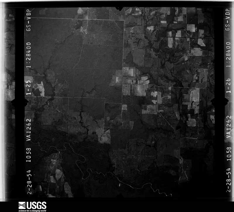
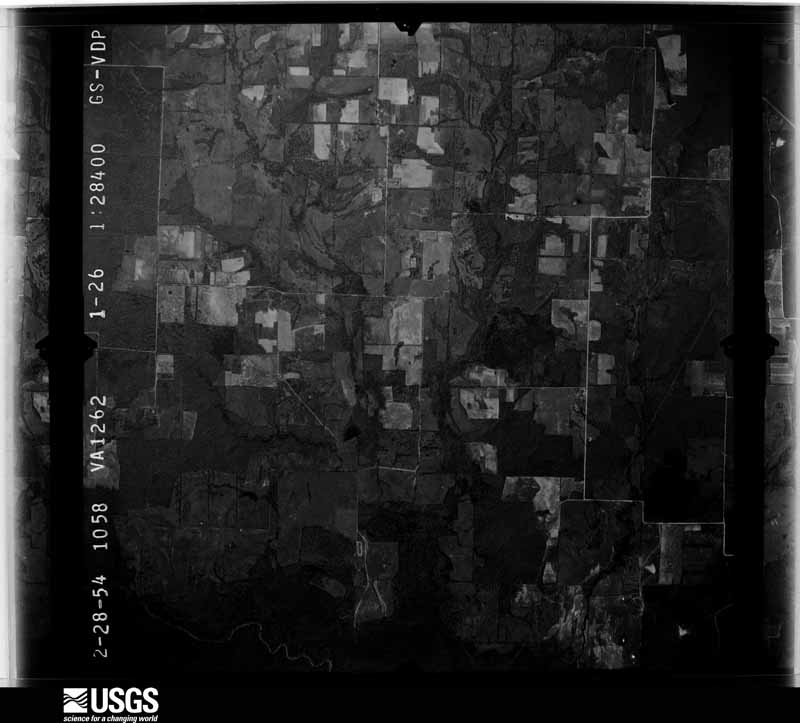
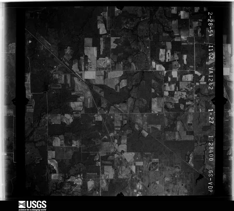
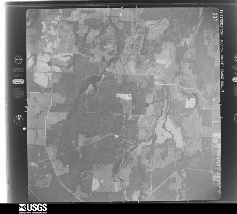
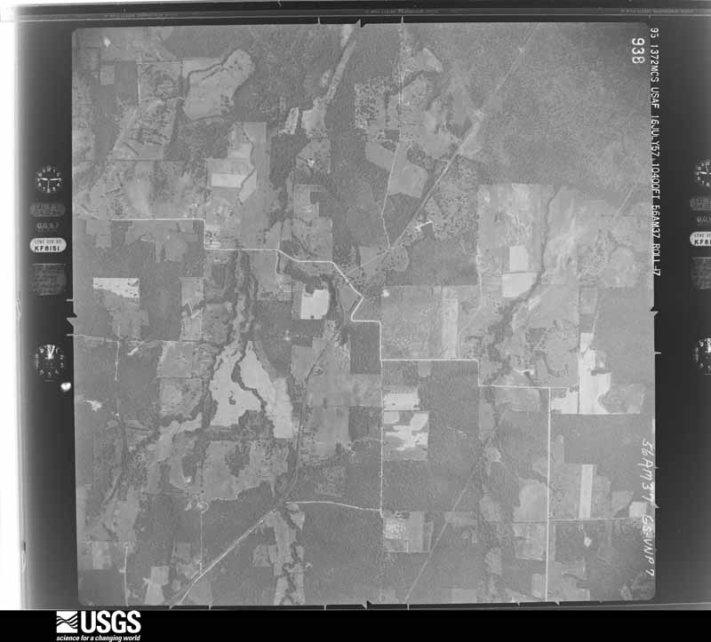
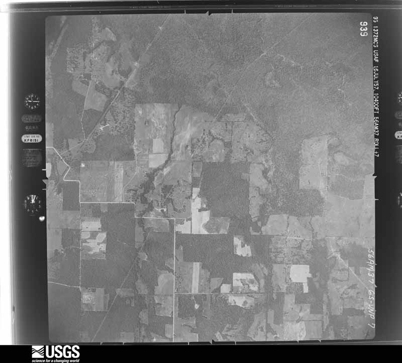
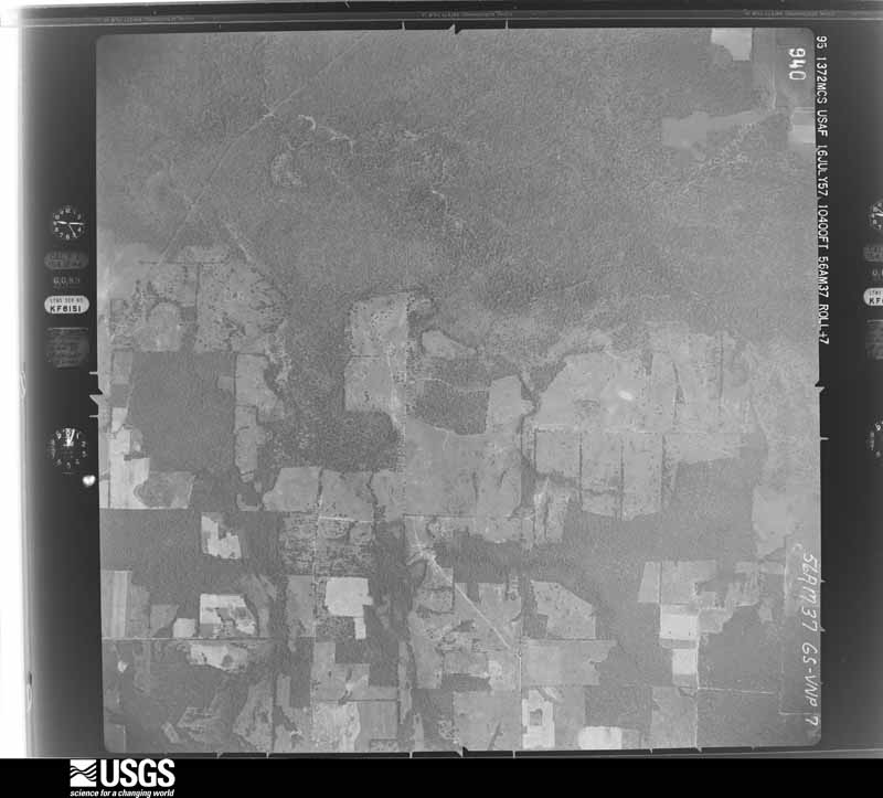
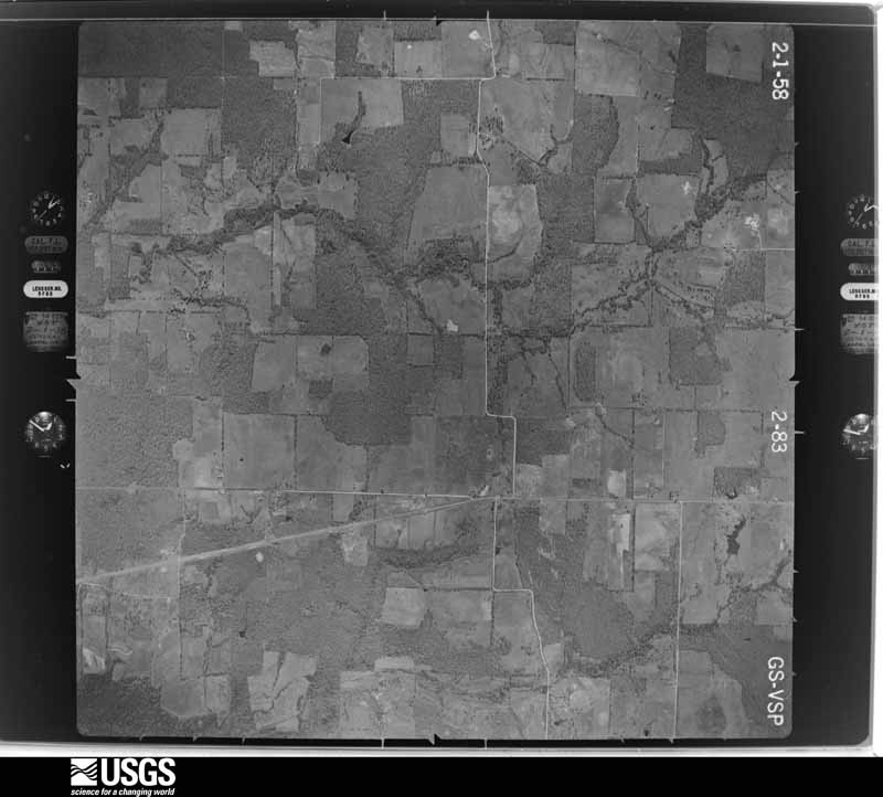
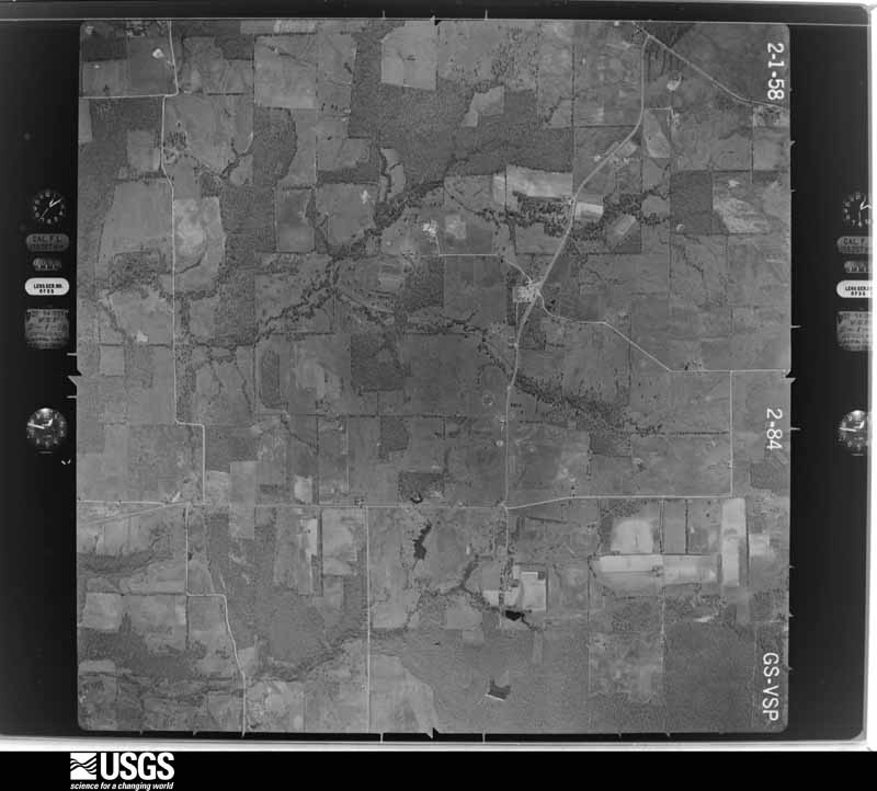
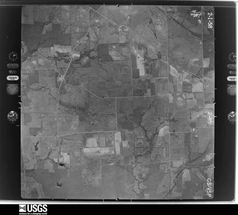
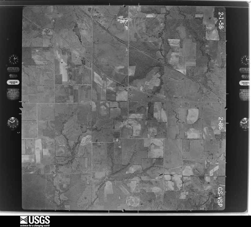
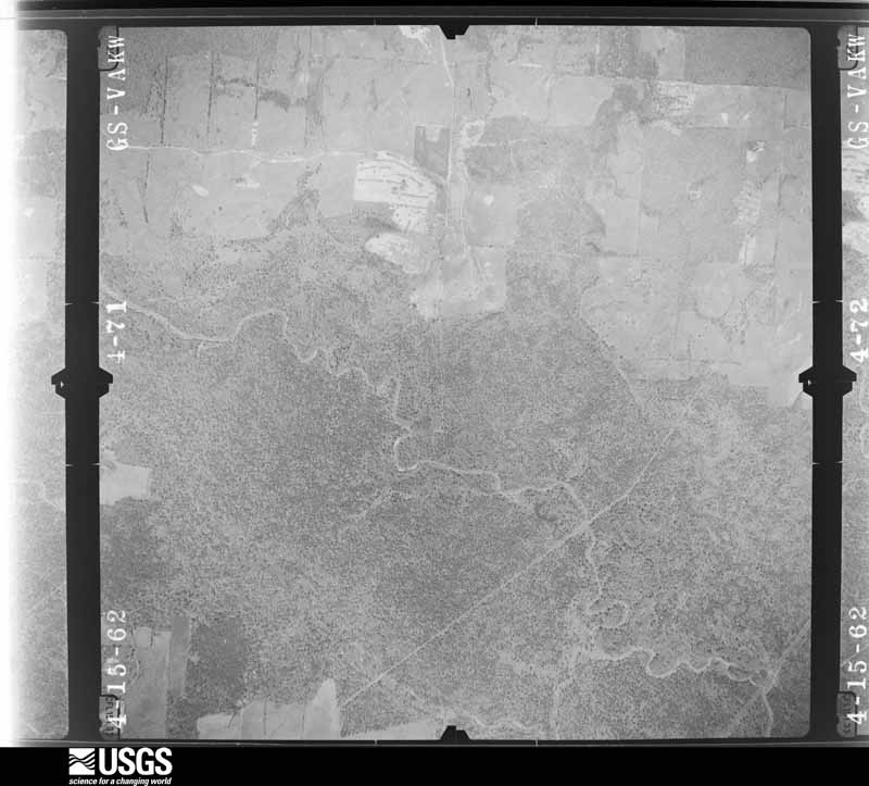
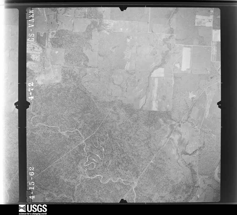
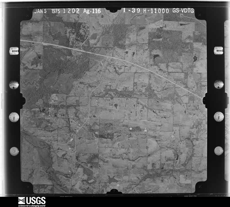
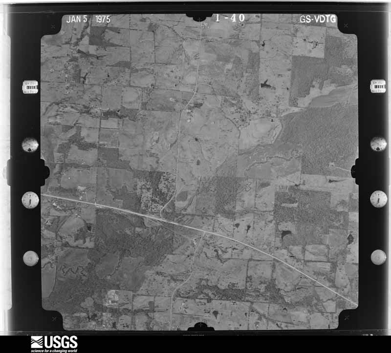
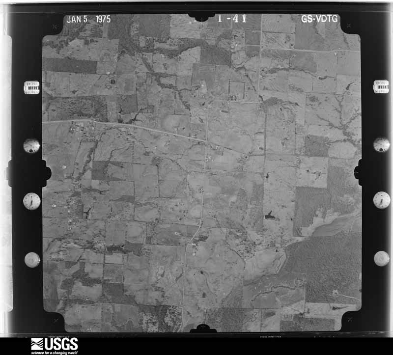
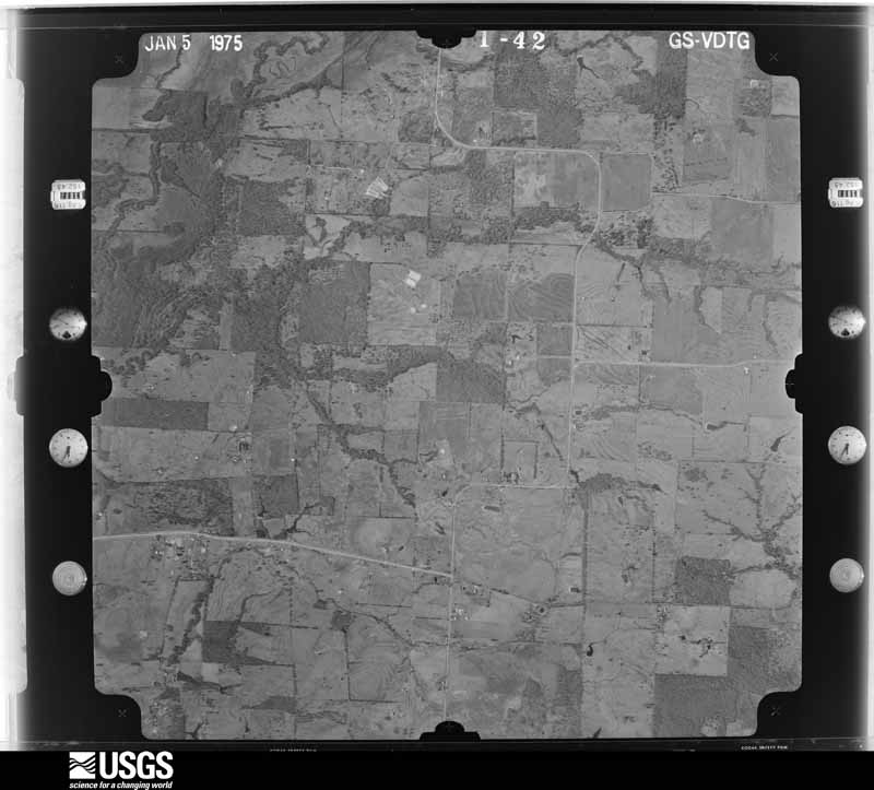
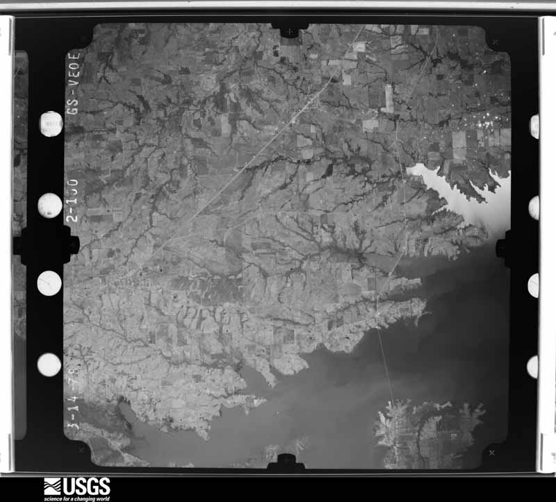
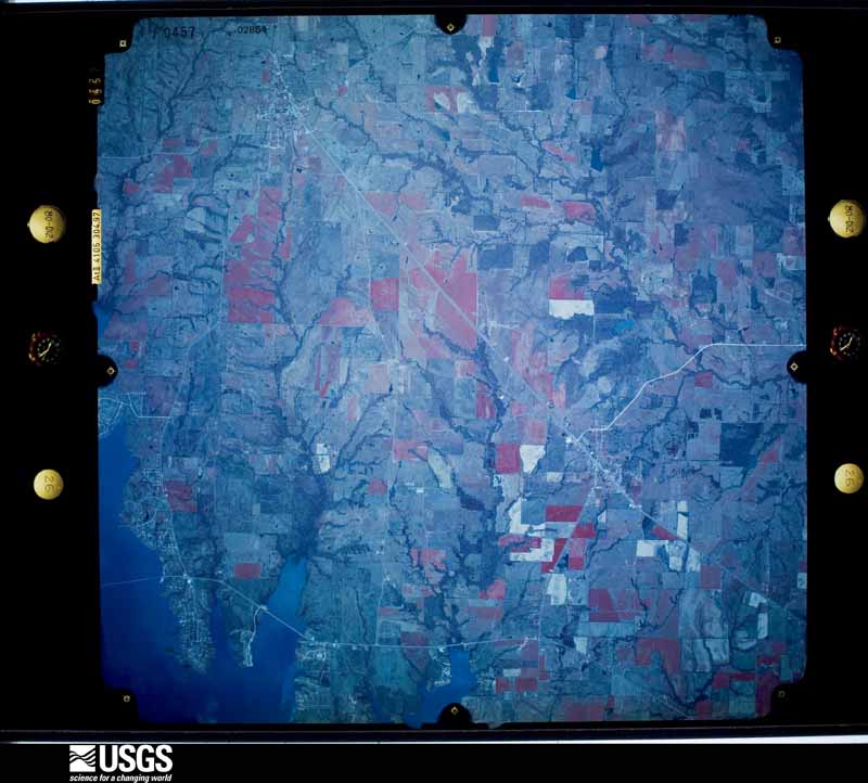
Flown by the U.S. Geological Survey between 1937 and 1989, the Aerial Photo Single Frames collection is the definitive mid-century view of the land: fields, roads and rivers as the camera saw them. The Survey holds 644 frames inside the rectangle that bounds this county; the 36 frames below were taken over the county itself, chosen across the decades of flights (at most four a year from that rectangle), so one flight cannot crowd out the rest. The full set is free to browse and download at EarthExplorer under the dataset Aerial Photo Single Frames.
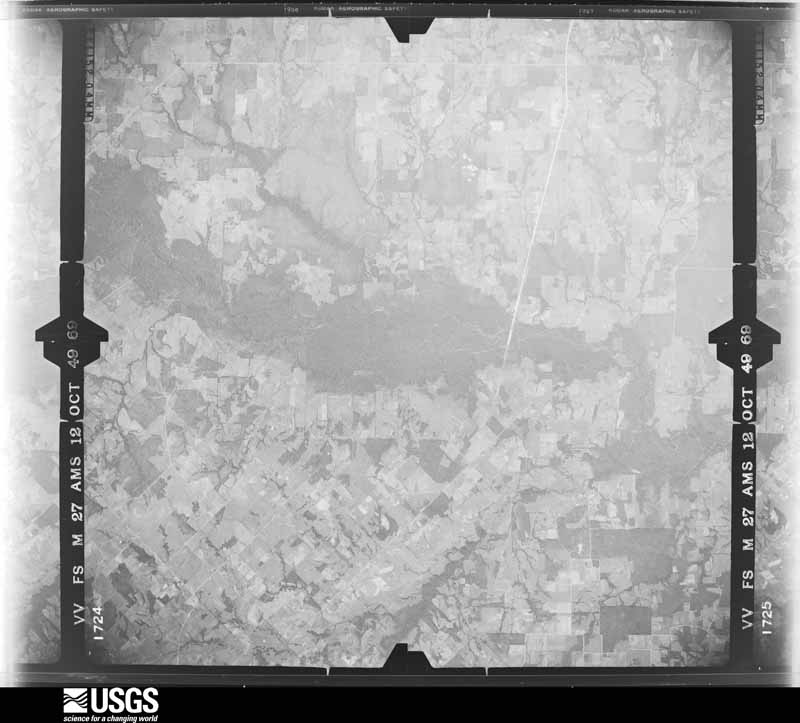
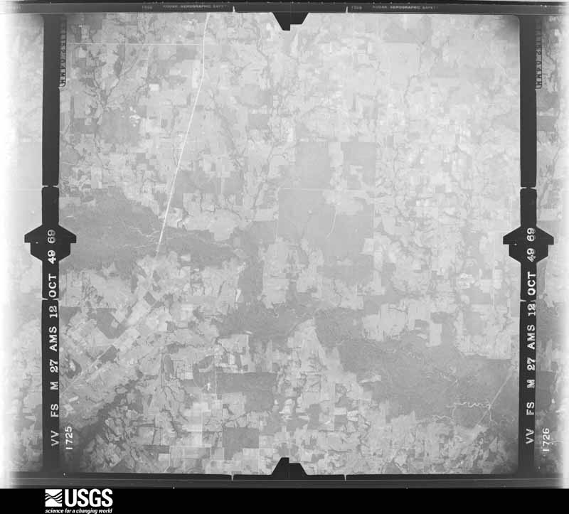

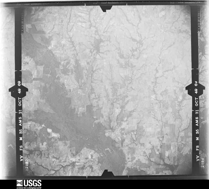


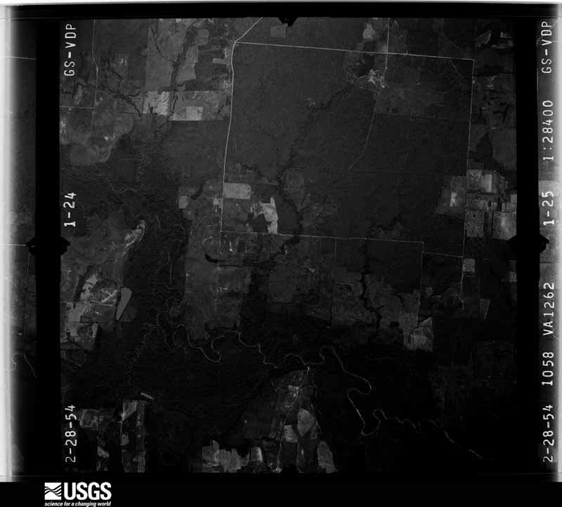










The thermometers that kept this county's weather, and the gages that measured the flow of its streams, as the federal records hold them. The extremes below are measured values from those records, not estimates.
Who lived here in 1950, one enumeration district at a time, as the Census Bureau described each district. Each row opens its official National Archives result, with Population Schedules and ED Maps available there.
Every wildfire the federal occurrence database records inside this county: 86 of them, burning about 1,652 acres. 2 started naturally and 1 was recorded as arson. Each settlement page carries the fires within five miles of it.
| Reported cause | Fires |
|---|---|
| Debris and open burning | 61 |
| Missing data/not specified/undetermined | 9 |
| Equipment and vehicle use | 6 |
| Recreation and ceremony | 6 |
| Natural | 2 |
| Misuse of fire by a minor | 1 |
| Arson/incendiarism | 1 |
The five largest, by the area the report gives. None of them was recorded as arson.
| Date | Cause | Size | Reported by | Name on the report |
|---|---|---|---|---|
| 29 August 2005 | Natural | 450 acres | Texas A & M Forest Service | NORTH TX - 9 |
| 2 January 2006 | Equipment and vehicle use | 175 acres | Texas A & M Forest Service | LINDEN - 16 |
| 7 July 2011 | Missing data/not specified/undetermined | 170 acres | Texas A & M Forest Service | CHIGGER RIDGE RANCH FIRE |
| 15 September 2011 | Missing data/not specified/undetermined | 60 acres | Texas A & M Forest Service | LINDEN - 599 |
| 4 March 1996 | Recreation and ceremony | 55 acres | Texas A & M Forest Service | not named |
| 19 January 2009 | Debris and open burning | 50 acres | Texas A & M Forest Service | HWY 779 CR 2520 |
| 4 March 2006 | Debris and open burning | 50 acres | Texas A & M Forest Service | not named |
| 20 July 2006 | Debris and open burning | 50 acres | Texas A & M Forest Service | POWELL - 529 |
Every settlement page carries the fires within five miles of it - see the settlement index below.
The NOAA Storm Events Database holds 189 reports for this county, causing 1 death, 2 injuries and about $2,307,600 in recorded property damage. Each settlement page carries the reports that name it.
| Kind of event | Reports |
|---|---|
| Thunderstorm Wind | 75 |
| Hail | 74 |
| Flash Flood | 18 |
| Tornado | 16 |
| Flood | 4 |
| Lightning | 2 |
The most serious of them, by death, then injury, then recorded damage. The accounts are quoted exactly as the forecast office filed them.
| When | Event | Place named | Harm | What the report says |
|---|---|---|---|---|
| October 1993 | Tornado (F2) | Emory | 1 killed, $500,000 | A tornado developed 1 SE Emory and moved two miles southeast. A man was killed and his mobile home was destroyed. (M57M) |
| May 2003 | Lightning | Point | 2 hurt | Two people were injured by a lightning strike. |
| April 2016 | Hail | Alba | $500,000 | Emergency management reported golf-ball to baseball sized hail along FM 779 near the county line. |
| March 1973 | Tornado (F1) | not stated | $250,000 | no account filed |
| April 2026 | Flash Flood | Dunbar | $100,000 | Emergency management reported that several county roads were flooded and some sustained culvert damage or failures, including County Roads 1495, 1325, 3425, 2350, and 1150. Additionally, a section of County Road 2300 was flooded due to a small private earthen dam being overtopped due to the locally heavy rain. |
| November 2022 | Hail | Point | $100,000 | A trained spotter reported baseball sized hail in Point, TX. |
| April 2016 | Hail | Emory | $100,000 | A public report indicated hen-egg sized hail south-southwest of the city of Emory, TX. |
| April 2016 | Hail | Flats | $100,000 | Emergency management reported golf-ball sized hail near the Lake Tawakoni Dam near the county line. |
| April 2017 | Tornado (EF2) | Dunbar | $70,000 | This tornado was a continuation from Van Zandt County. This tornado began nearly as the last tornado dissipated to the south and west. The parent supercell cycled another tornado about a mile to the east and northeast of the previous storm. This tornado quickly grew to a large tornado, becoming slightly less than one mile wide at its widest point. The tornado was at the strongest near Interstate 20 and FM 17 just north of Canton. The survey crews found continuous damage between Canton and Fruitvale, and then additional damage as far north as Emory, and Lake Fork. Several homes, businesses, and farm buildings were damaged or destroyed in the 40 mile continuous damage path. This tornado occurred for over an hour, and spanned most of Van Zandt, and nearly all of Rains Counties during the 80 minute track. |
| August 2006 | Thunderstorm Wind | Emory | $50,000 | Roof damage occurred at several buildings including an apartment complex and a restaurant. Damage to trees was also reported. |
| June 1997 | Thunderstorm Wind | Emory | $50,000 | Strong winds uprooted several large trees. A home received major damage after a tree was blown down onto it. |
| October 1993 | Thunderstorm Wind | Emory | $50,000 | A barn was destroyed. Two homes and two businesses were also unroofed. |
| August 2007 | Thunderstorm Wind | Emory | $40,000 | Trees and power lines were blown down across the county. Storage buildings were thrown across the road near Alba, and portable buildings were tossed around along Highway 69 in Emory. |
| November 1996 | Thunderstorm Wind | Emory | $40,000 | no account filed |
| March 2004 | Thunderstorm Wind | Countywide | $35,000 | Wind damage across northern part of the county. The worst damage was from Highway 276 at County Road 1320 to near Elm on FM 514. Many trees were blown down, a house was damaged, a large tree was blown down onto a carport, sheds and barns were damagerd, and a chimney was blown off a house. |
| May 1992 | Tornado (F1) | not stated | $25,000 | no account filed |
| March 2022 | Thunderstorm Wind | Willow Spgs | $20,000 | Straight-line winds damaged large trees and tree limbs, and caused minor damage to homes along a path near CR 2460 and 2440 to just northwest of Alba. |
| November 2022 | Tornado (EF1) | Dougherty | $20,000 | A tornado started in northern Rains County crossing FM 514 near Daugherty. In this area, damage to a carport was noted along with damage to large trees. The tornado moved northeast causing notable tree damage to the Clifton Cemetery. The tornado continued northeast into southern Hopkins County where its track was traced by tree damage. Additional information on the tornado track in Hopkins County can found in a separate entry. Video evidence shows this tornado lifted just east of Hopkins County Road 1159 before the next tornado started. Maximum estimated winds were 100 mph. |
| May 2006 | Thunderstorm Wind | Emory | $20,000 | A small metal building was blown over at a fire station about 9 miles southeast of Emory, and trees and power lines were blown down across the southern portion of the county. |
| April 2026 | Hail | Emory | $15,000 | A social media photo showed a 2.75 to 3 inch hailstone in Emory. |
| May 2009 | Flash Flood | Dougherty | $15,000 | One water rescue was performed during the morning hours of the 3rd and several county roads were covered in water. Of note, CR 1325 near Woodbury Creek was underwater and CR 1275 at Brushy Creek was underwater as both creeks overflowed their banks. Woodbury Creek also flooded farms and ranches along its banks. |
| July 2007 | Flash Flood | Emory | $15,000 | Several county roads were flooded and impassable. A vehicle was swept into a creek. |
| May 1997 | Thunderstorm Wind | Emory | $15,000 | Strong winds damaged a roof, blew down a carport and downed trees. |
| April 2026 | Hail | Emory | $12,000 | Broadcast media partner relayed a photo of approximately tennis ball size hail in Emory. |
| May 2020 | Flash Flood | Emory | $10,000 | Emergency management reported that several Rains County roads were under water, and that one had to be closed due to a wash-out. |
| April 2017 | Hail | Emory | $10,000 | A report of ping ping pong ball sized hail was reported in Emory. |
| June 2016 | Flood | Point | $10,000 | Emergency personnel assisted two families from their homes after they became trapped from flooding. Emergency crews initially had to cross through approximately 300 yards of water that ranged from 9 to 12 inches deep. A fire department tanker was forced to drive through another 1.5 feet of water to reach the trapped residents. |
| December 2015 | Flood | Point | $10,000 | Several roads remained flooded across the county after an average of 3-5 inches of heavy rainfall. |
| May 2009 | Thunderstorm Wind | Point | $10,000 | The Sheriff's Office reported several trees were down across the county. Some trees were blocking roads and at least one tree fell on a house. |
| April 2026 | Hail | Pt Sabine Arpt | $9,000 | Amateur radio operator reported 2 inch hail just west of Emory. |
| April 2026 | Hail | Point | $7,000 | Amateur radio operator reported 1.75 inch hail in Point. |
| April 2026 | Hail | Pt Sabine Arpt | $7,000 | Social media photos showed 1.75 inch hailstones south southeast of Point. |
| April 2026 | Hail | Emory | $7,000 | Amateur radio operator reported 1.75 inch hail in Emory. |
| May 2019 | Thunderstorm Wind | Point | $7,000 | Emergency management reported multiple trees down in the cities of Point and Emory along Highway 69. |
| April 2022 | Thunderstorm Wind | Emory | $6,000 | A few roof wall panels were blown off the Rains High School gymnasium. |
| May 2019 | Thunderstorm Wind | Point | $5,000 | Emergency management reported a tree blown onto a home in the city of Point, TX. |
| December 2015 | Flash Flood | Point | $5,000 | Several FM and county roads were closed across the county due to flooding. Several streets in Emory were also closed. |
| April 2011 | Thunderstorm Wind | Dougherty | $5,000 | Numerous trees were knocked down on the west side of Lake Fork, and also on Hwy 19, CR 3150, CR 3325, and CR 4400. |
| May 1994 | Thunderstorm Wind | Emory | $5,000 | Power lines were blown down on FM 515. |
| November 1994 | Thunderstorm Wind | Point | $5,000 | Trees were blown down by thunderstorm winds. |
| January 1994 | Thunderstorm Wind | Lake Tawakoni | $5,000 | Windows were blown out of a house by high winds. |
| May 1994 | Thunderstorm Wind | Emory | $5,000 | Trees were blown down by thunderstorm winds. |
| October 1993 | Thunderstorm Wind | Emory | $5,000 | Wind damage to trees and roofs was reported in this area. |
| April 2011 | Lightning | Emory | $4,000 | A lightning strike hit a propane tank on Hwy 19 causing a fire. |
| September 2023 | Thunderstorm Wind | Emory | $3,000 | Emory Fire Station reported flagpoles bowing over in thunderstorm winds, small limbs blowing across parking lot, and the bay doors of the fire station bowing in. An mPing report also reported more notable tree damage in Emory. |
| May 2005 | Thunderstorm Wind | Emory | $3,000 | Power lines snapped in half. |
| August 2003 | Thunderstorm Wind | Emory | $3,000 | Trees and power lines were blown down by high winds. |
| May 1992 | Tornado (F0) | not stated | $2,500 | no account filed |
| September 2023 | Thunderstorm Wind | Emory | $2,000 | Power lines were knocked down and major tree damage was reported on the NW side of Emory, TX on HWY 69. |
| April 2010 | Thunderstorm Wind | Emory | $2,000 | Several trees were reported down on several county roads near Emory. |
| May 2009 | Thunderstorm Wind | Emory | $2,000 | A large tree was knocked down on CR 4250 northwest of Emory. |
| May 2007 | Thunderstorm Wind | Emory | $2,000 | Tree limbs down south of Emory. |
| April 1997 | Thunderstorm Wind | Point | $2,000 | Trees and power lines were blown down. |
| March 1996 | Thunderstorm Wind | Emory | $2,000 | no account filed |
| April 2004 | Thunderstorm Wind | Emory | $1,000 | Two trees were blown down onto a county road. |
| April 1999 | Thunderstorm Wind | Point | $1,000 | A large industrial building was unroofed by high thunderstorm winds. |
| October 1998 | Thunderstorm Wind | Emory | $1,000 | Several trees were blown down from thunderstorm winds. |
| September 2023 | Thunderstorm Wind | Point | $500 | Trees and tree limbs were down on FM 514 and needed to be cleared off the roadway. |
| January 1994 | Thunderstorm Wind | Emory | $500 | A tree was blown down by thunderstorm winds. |
| April 1994 | Thunderstorm Wind | Emory | $500 | Thunderstorm winds broke tree limbs six inches in diameter. |
The Survey's mineral resources record lists 2 workings inside this county. None of them still produces: all are closed or unrecorded. Each settlement page carries the workings within five miles of it.
| Commodity | Workings |
|---|---|
| Clay | 2 |
The least common of them first, because a county's hundredth gravel pit says nothing its first ten did not.
Named settlements recorded in the Geographic Names Information System, each with the topographic sheets covering it. Villages, hamlets and abandoned places alike. Each is shown with the nearest named watercourse or landform and the survey quadrangle it falls on.
Point census division · 75472 · On Hooker Creek · Lone Oak South quadrangle
13 sheets, 1956 to 1991
Point census division · 75440 · On Long Branch · Emory South quadrangle
14 sheets, 1956 to 1991
Point census division · 75472 · On Schoolhouse Branch · Lone Oak South quadrangle
13 sheets, 1956 to 1991
Point census division · 75472 · On Cedar Creek · Lone Oak South quadrangle
13 sheets, 1956 to 1991
Point census division · 75453 · On Hooker Creek · Lone Oak South quadrangle
13 sheets, 1956 to 1991
Point census division · 75472 · On Rice Branch · Emory North quadrangle
14 sheets, 1956 to 1991
Point census division · 75472 · On Rice Branch · Emory North quadrangle
14 sheets, 1956 to 1991
Emory census division · 75440 · On Glade Creek · Emory South quadrangle
14 sheets, 1956 to 1991
Emory census division · 75440 · On Elm Creek · Arbala quadrangle
16 sheets, 1956 to 1991
Emory census division · 75440 · On West Brushy Branch · Emory South quadrangle
14 sheets, 1956 to 1991
Emory census division · 75440 · On Bear Creek · Emory South quadrangle
14 sheets, 1956 to 1991
Point census division · 75472 · On Cedar Creek · Lone Oak South quadrangle
13 sheets, 1956 to 1991