 Block
BlockReal County, Texas
26 topographic sheets cover 4 settlements here.
Research this county
What the record shows
- 42 topographic sheet readings cover the county's settlements.
- The Geographic Names Information System records 4 populated places in this county; 4 are covered by at least one topographic sheet.
The county from the air
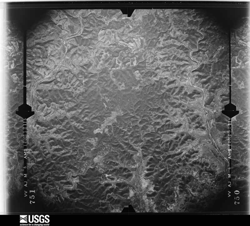
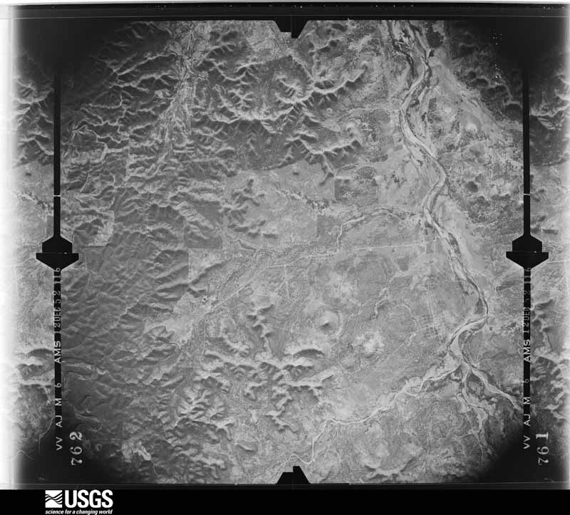
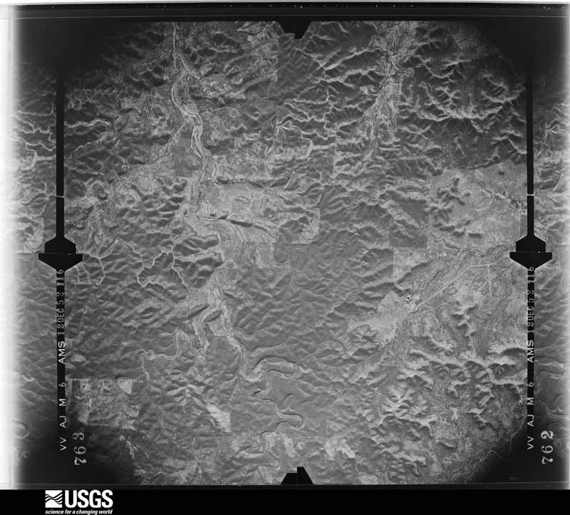
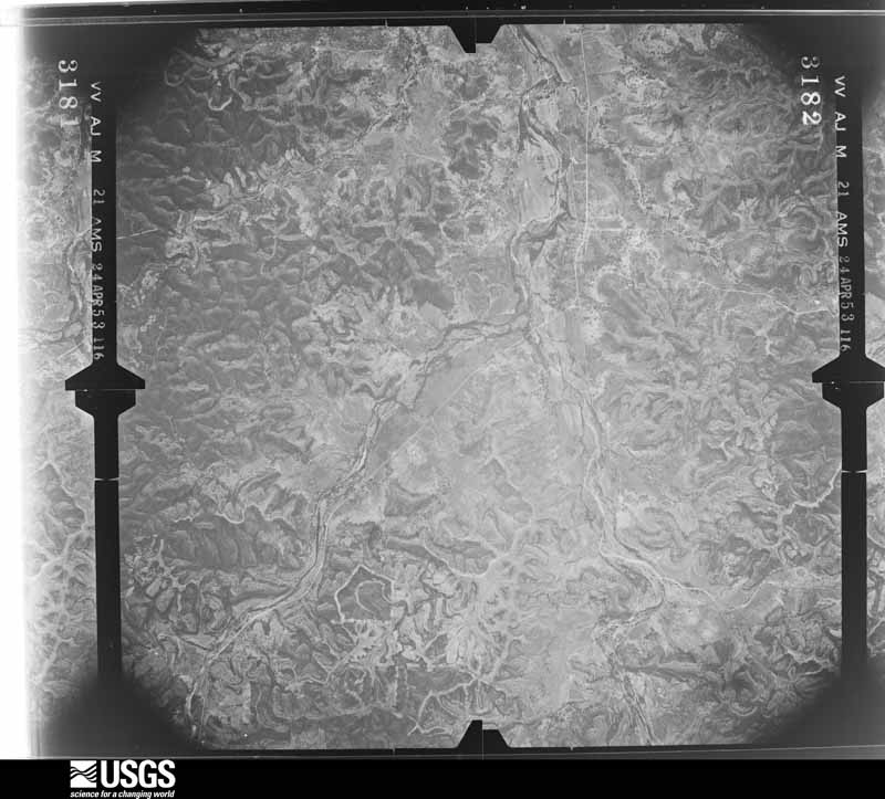
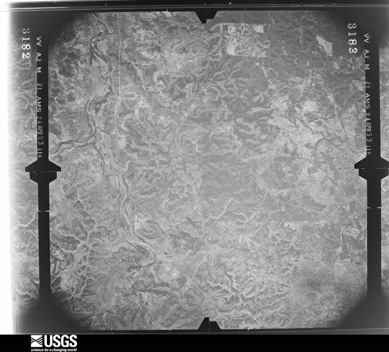
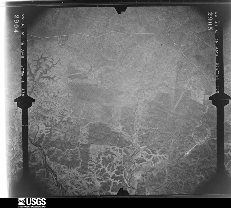
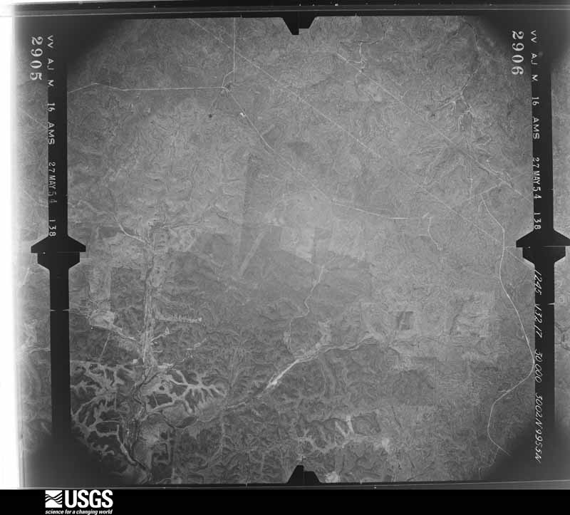
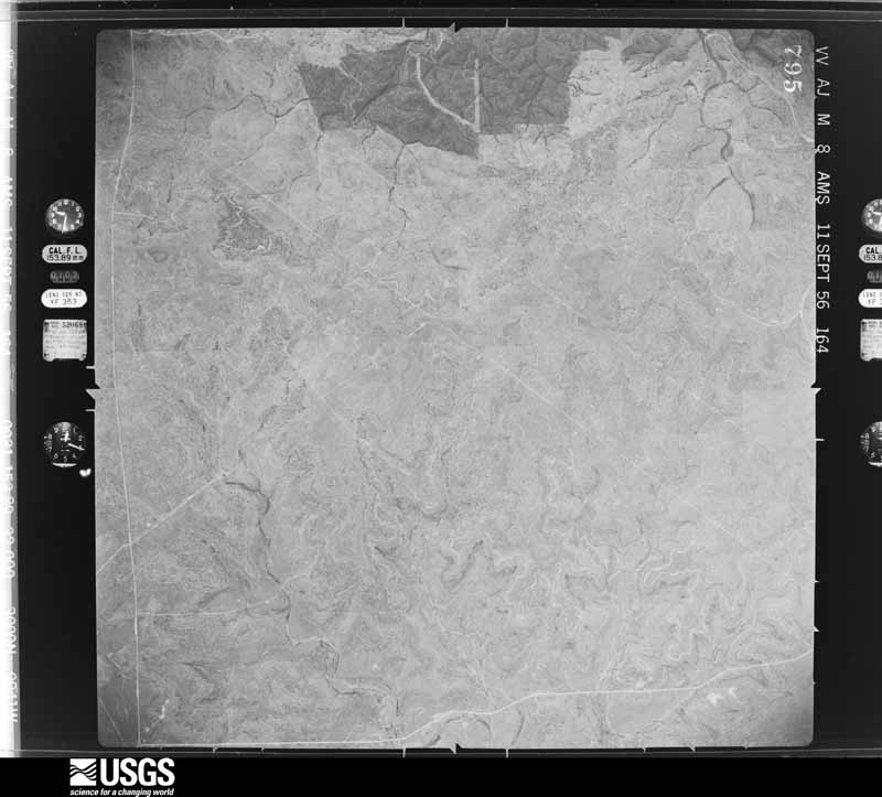
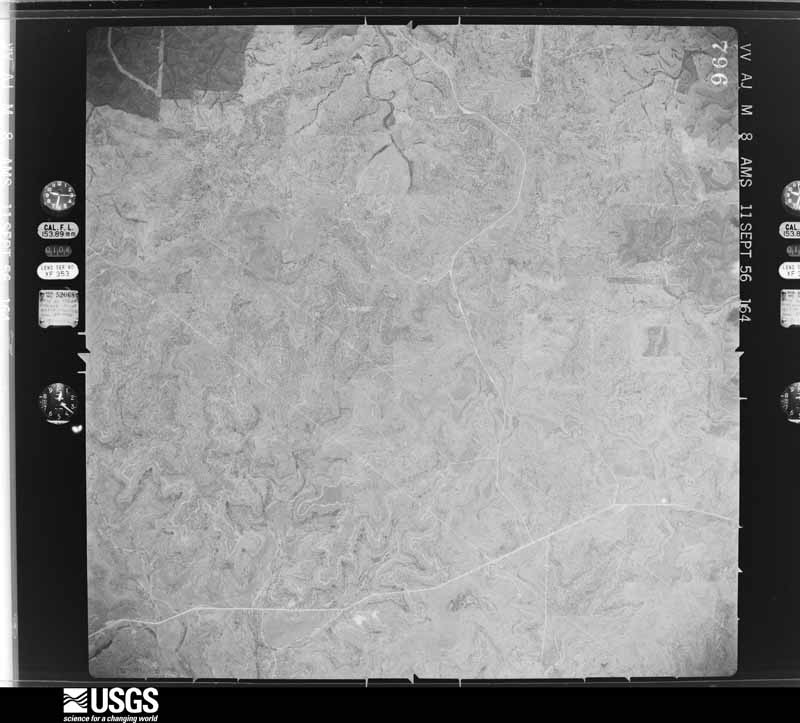
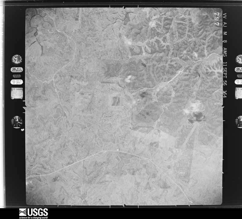
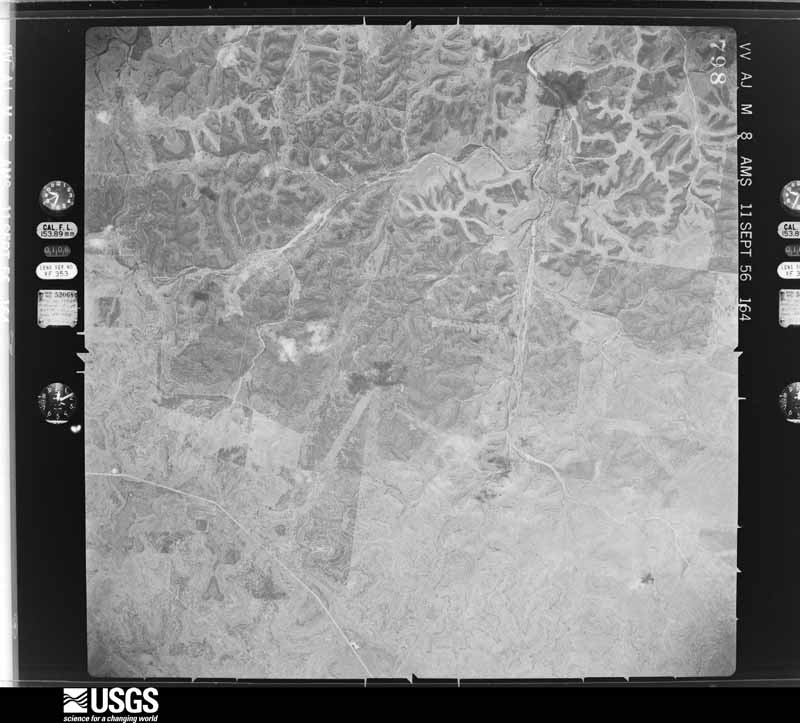
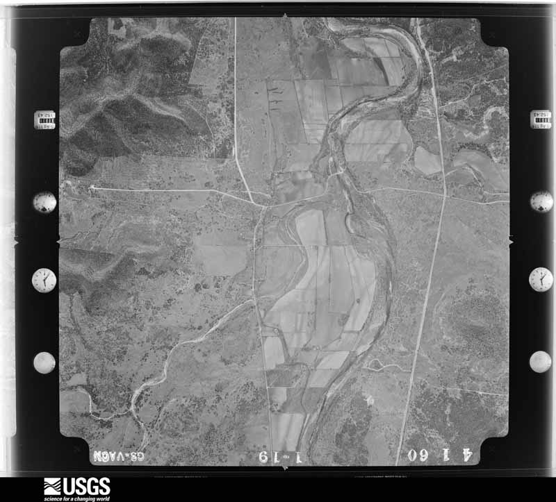
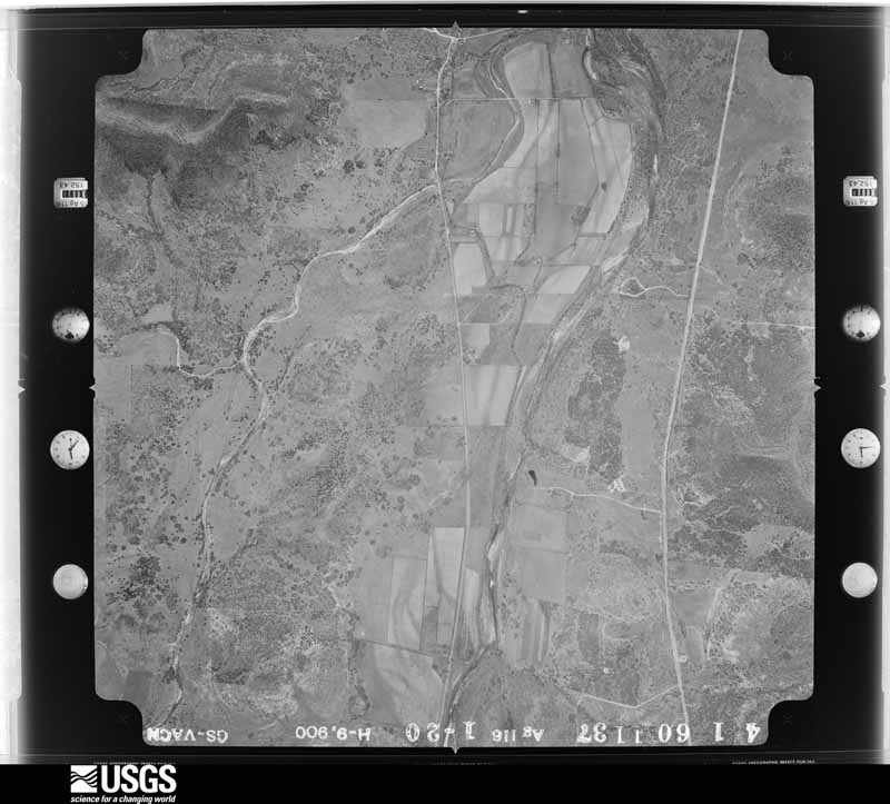
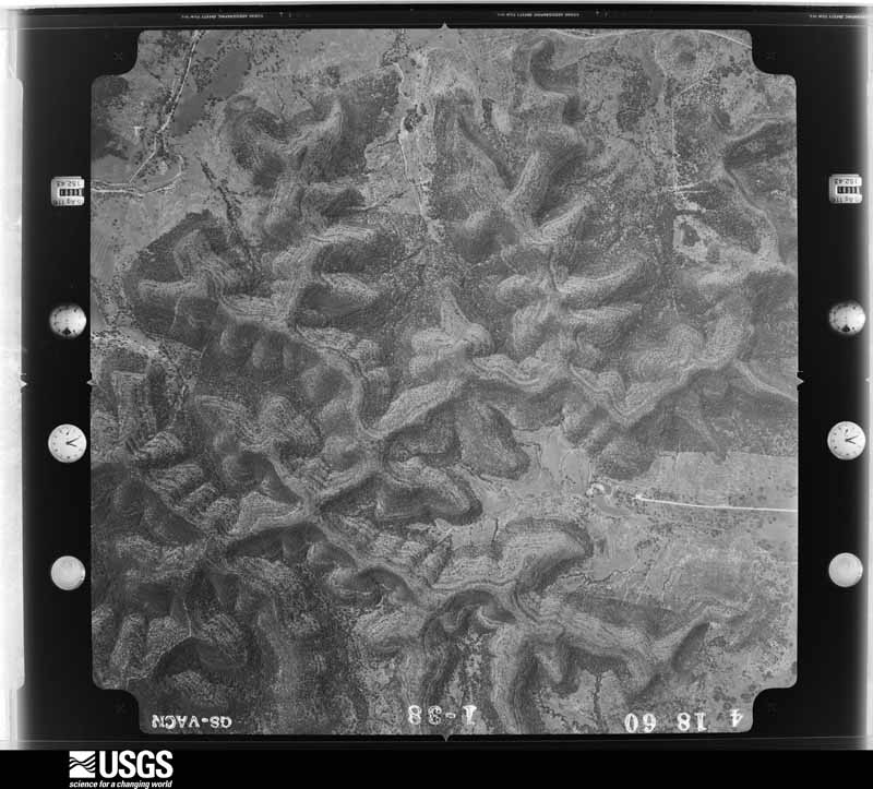
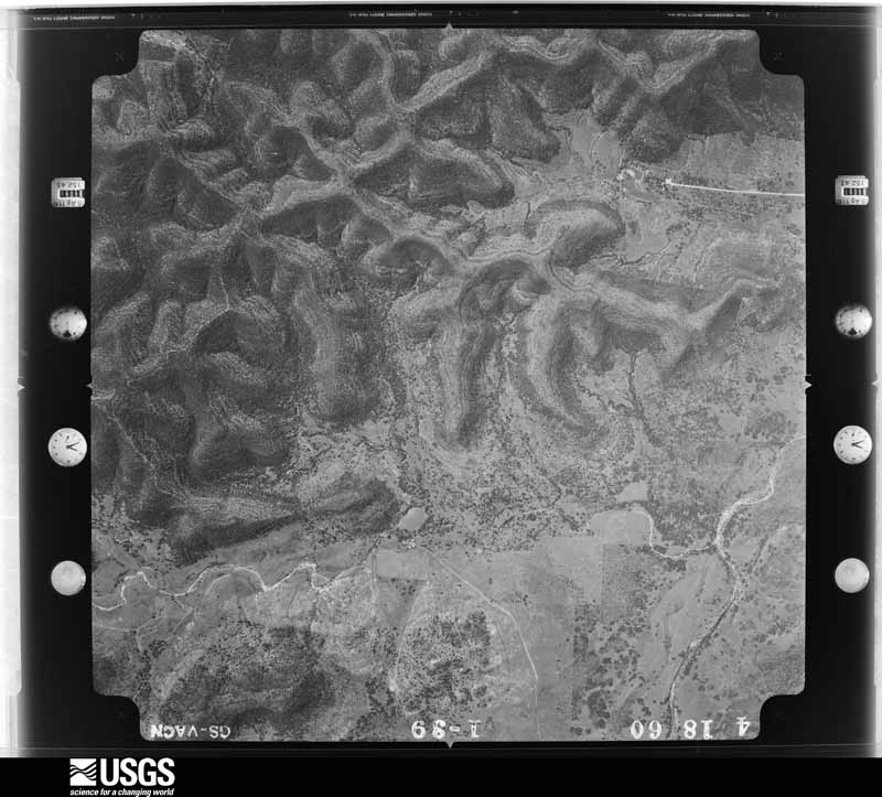
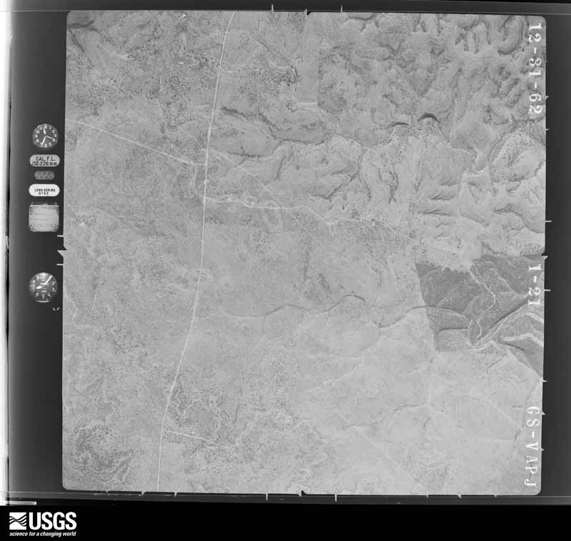
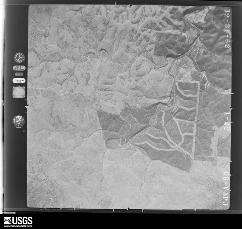
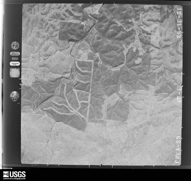
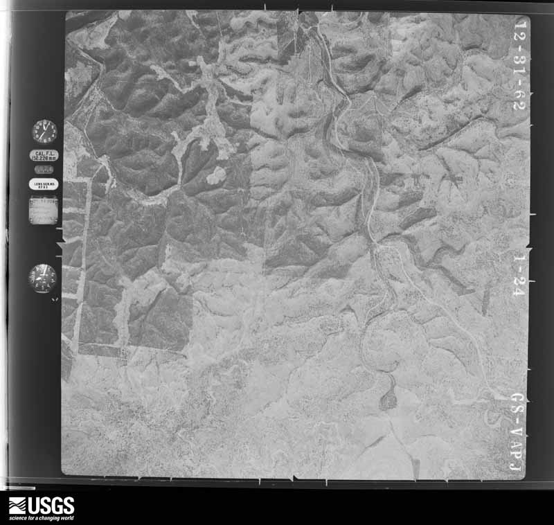
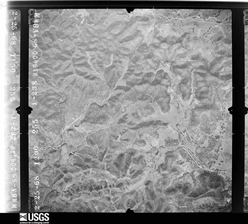
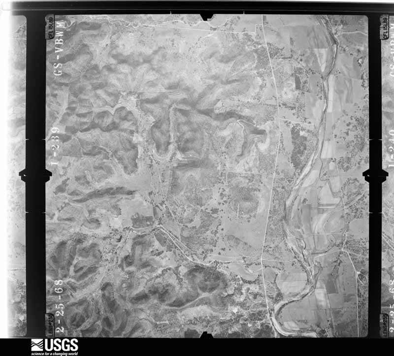
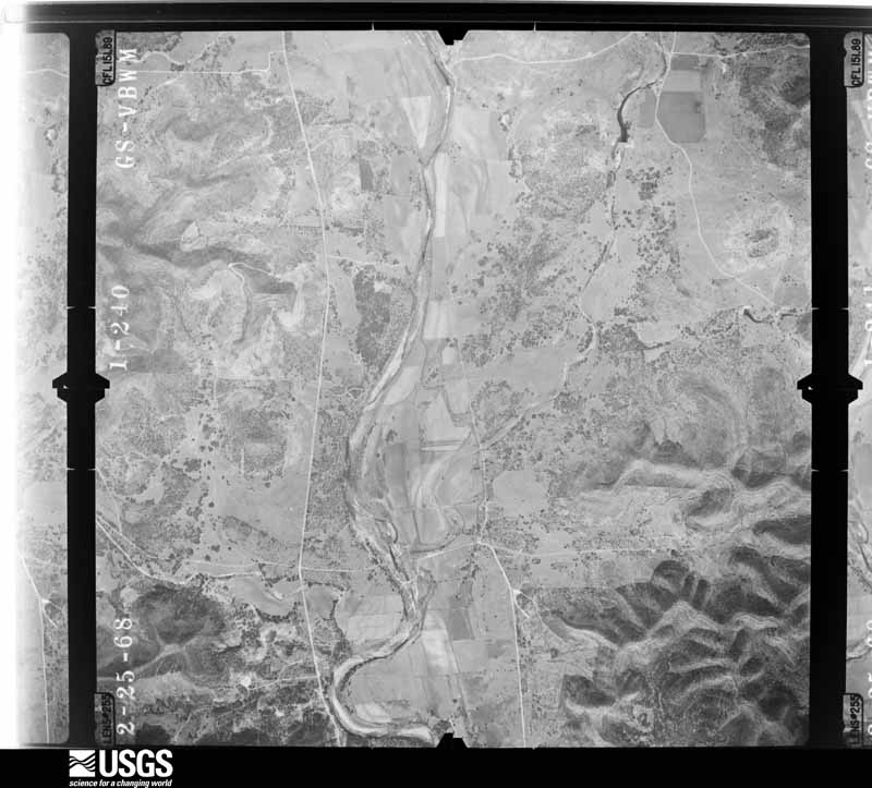
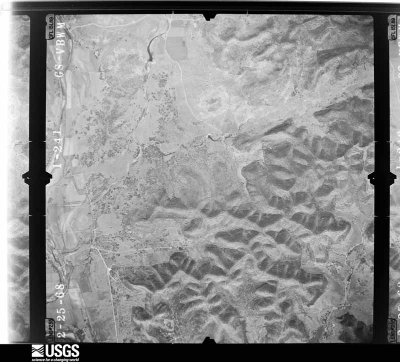
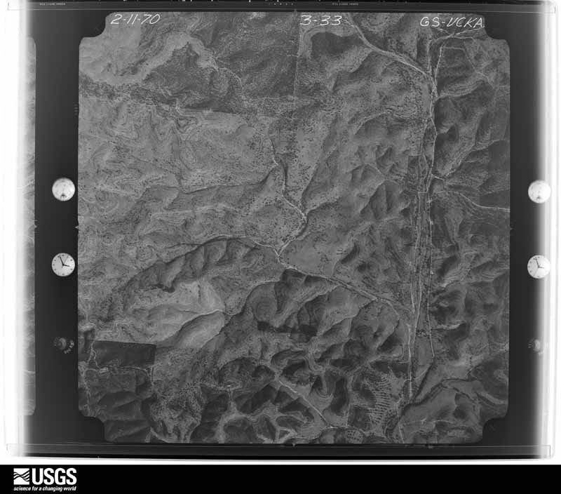
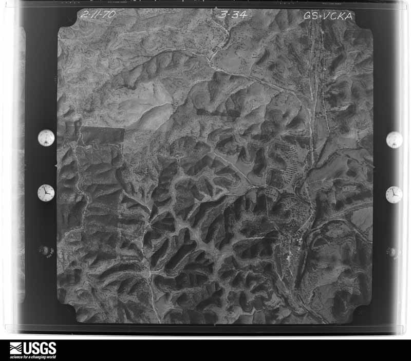
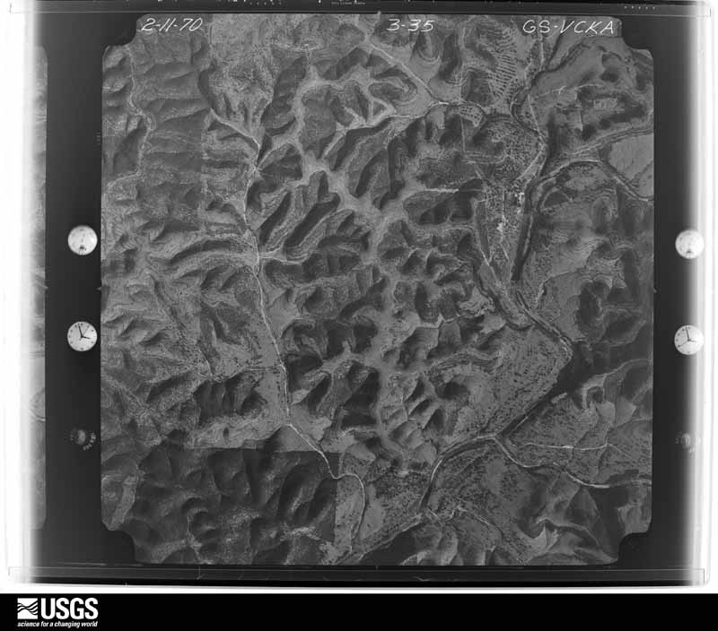
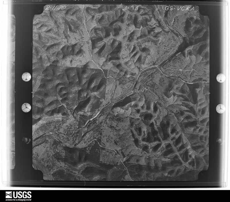
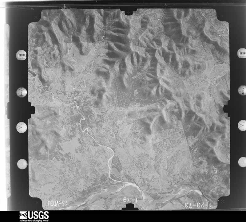
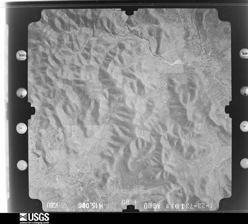
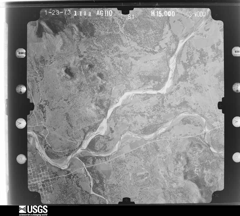
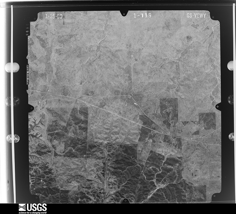
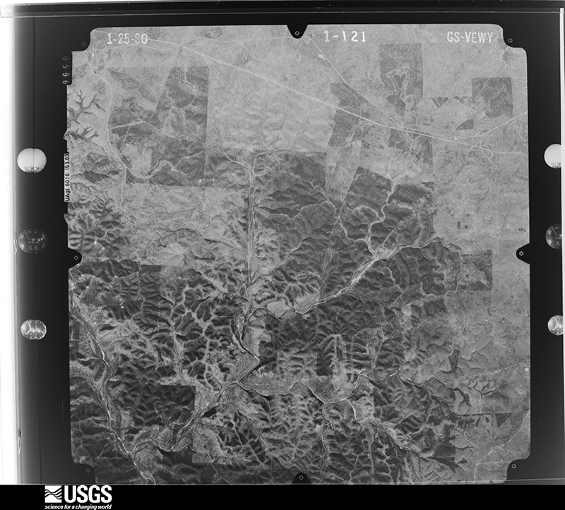
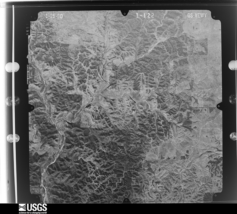
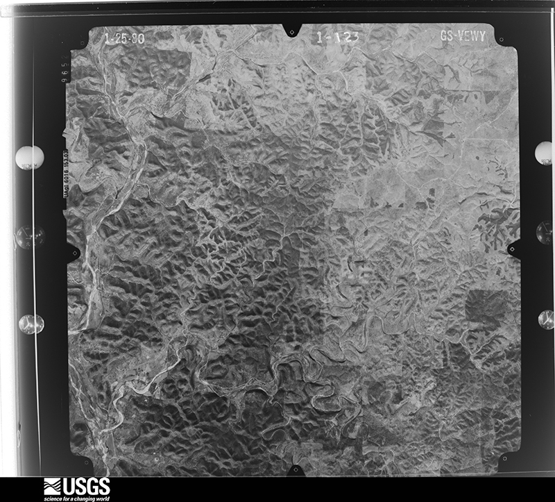
45 shownFlown by the U.S. Geological Survey between 1937 and 1989, the Aerial Photo Single Frames collection is the definitive mid-century view of the land: fields, roads and rivers as the camera saw them. The Survey holds 556 frames inside the rectangle that bounds this county; the 45 frames below were taken over the county itself, chosen across the decades of flights (at most four a year from that rectangle), so one flight cannot crowd out the rest. The full set is free to browse and download at EarthExplorer under the dataset Aerial Photo Single Frames.











Weather records
26 stations, 1 gageThe thermometers that kept this county's weather, and the gages that measured the flow of its streams, as the federal records hold them. The extremes below are measured values from those records, not estimates.
- LEAKEY 1894 to 2017, hottest 38.3 C, coldest -12.2 C
- CRIDER RCH 1940 to 1975
- CAMP WOOD 1944 to 2013, hottest 42.8 C, coldest -15.0 C
- PRADE RCH 1955 to 2026, hottest 43.3 C, coldest -17.8 C
- LEAKEY 2 1963 to 1971, hottest 41.7 C, coldest -13.9 C
- LEAKEY 0.7 N 1998 to 2009
- CAMP WOOD 6.5 NE 1998 to 2023
- CAMP WOOD 9.6 ESE 2007 to 2026
- CAMP WOOD 10.1 ESE 2007 to 2013
- LEAKEY 9.1 WNW 2007 to 2012
- LEAKEY 0.8 N 2007 to 2020
- CAMP WOOD 7.3 NE 2007 to 2021
- LEAKEY 3.4 SE 2007 to 2013
- LEAKEY 1.5 ENE 2007 to 2026
- LEAKEY 16.3 N 2007 to 2008
- LEAKEY 5.5 SSE 2007 to 2010
- CAMP WOOD 6.8 NE 2008 to 2018
- RIO FRIO 0.6 NNW 2010 to 2014
- LEAKEY 14.0 NW 2011 to 2022
- LEAKEY 9.9 N 2016 to 2021
- LEAKEY 6.0 NE 2018 to 2019
- LEAKEY 8.9 E 2018 to 2021
- LEAKEY 1.0 NW 2022 to 2026
- LEAKEY 7.8 NE 2024 to 2026
- LEAKEY 0.5 E 2024 to 2026
- LEAKEY 3.6 N 2025 to 2026
- E Frio Rv nr Leakey, TX 2012 to 2014
The 1950 census, district by district
5 districtsWho lived here in 1950, one enumeration district at a time, as the Census Bureau described each district. Each row opens its official National Archives result, with Population Schedules and ED Maps available there.
Wildfire, 2005 to 2019
145 firesEvery wildfire the federal occurrence database records inside this county: 145 of them, burning about 7,404 acres. 2 started naturally and none was recorded as arson. Each settlement page carries the fires within five miles of it.
| Reported cause | Fires |
|---|---|
| Debris and open burning | 76 |
| Missing data/not specified/undetermined | 29 |
| Equipment and vehicle use | 22 |
| Power generation/transmission/distribution | 5 |
| Recreation and ceremony | 4 |
| Smoking | 4 |
| Misuse of fire by a minor | 3 |
| Natural | 2 |
The five largest, by the area the report gives. None of them was recorded as arson.
| Date | Cause | Size | Reported by | Name on the report |
|---|---|---|---|---|
| 8 February 2008 | Equipment and vehicle use | 4,500 acres | Texas A & M Forest Service | GARVEN STORE COMPLEX |
| 11 January 2006 | Missing data/not specified/undetermined | 500 acres | Texas A & M Forest Service | not named |
| 14 March 2008 | Equipment and vehicle use | 500 acres | Texas A & M Forest Service | not named |
| 31 March 2008 | Debris and open burning | 300 acres | Texas A & M Forest Service | not named |
| 31 December 2007 | Missing data/not specified/undetermined | 155 acres | Texas A & M Forest Service | not named |
| 9 March 2013 | Missing data/not specified/undetermined | 150 acres | Texas A & M Forest Service | BOB PENDLEY RANCH/JOHN BUCHANAN RD |
| 3 April 2011 | Missing data/not specified/undetermined | 100 acres | Texas A & M Forest Service | RANCHO REAL FIRE |
| 29 January 2008 | Debris and open burning | 100 acres | Texas A & M Forest Service | not named |
Every settlement page carries the fires within five miles of it - see the settlement index below.
Storms, 1957 to 2026
60 of 242 shownThe NOAA Storm Events Database holds 242 reports for this county, causing 4 deaths, 56 injuries and about $2,402,000 in recorded property damage. Each settlement page carries the reports that name it.
| Kind of event | Reports |
|---|---|
| Hail | 116 |
| Flash Flood | 99 |
| Thunderstorm Wind | 25 |
| Tornado | 2 |
The most serious of them, by death, then injury, then recorded damage. The accounts are quoted exactly as the forecast office filed them.
| When | Event | Place named | Harm | What the report says |
|---|---|---|---|---|
| August 1998 | Flash Flood | Countywide | 4 killed, $600,000 | no account filed |
| June 1997 | Flash Flood | Countywide | 40 hurt, $1,000,000 | no account filed |
| May 2001 | Flash Flood | Countywide | 9 hurt, $15,000 | no account filed |
| May 1995 | Tornado (F1) | Leakey | 5 hurt, $5,000 | A small tornado destroyed a barn and overturned mobile homes, causing some minor injuries. It also blew powerlines down. |
| May 1995 | Tornado (F2) | Leakey | 2 hurt, $30,000 | The tornadic thunderstorm moved northeastward, dropping nearly two inches of rain as it approached the Horton ranch. Softball-size hail began falling just in advance of the tornado. It uprooted trees along a two mile path as it moved northeastward. The tornado destroyed a barn and a mobile home, injuring two ranch hands in the mobile home. It also destroyed a half-mile of strong fencing as it moved northeastward. |
| April 2001 | Hail | Leakey | $80,000 | The hail damaged cars and windows in homes. |
| October 2002 | Flash Flood | Countywide | $50,000 | Thunderstorms in the morning hours over Real County produced widespread 2 to3 inch amounts with isolated totals near Leakey of up to 5 inches. The Real County Sheriff's Department reported most county roads in and near the town of Leakey closed due to high water and flash flooding. |
| April 2001 | Thunderstorm Wind | Leakey | $50,000 | Severe thunderstorm winds blew over trees just north of Leakey. |
| November 2001 | Flash Flood | Countywide | $50,000 | In addition to 1 to 2 inches of rain across county on the evening of the 14th, additional rain redeveloped early on the morning of the 15th, in advance of a strong upper level disturbance approaching slowly from the west. On the morning of the 15th, additional 3 to 4 inch accumulations were reported, with isolated totals of up to 10 inches just south of Leakey. Flash flooding developed over the entire county with the most dangerous flooding from Leakey southward. Most of the damage reported was to roads and bridges across the southern part of the county. |
| November 2001 | Thunderstorm Wind | Leakey | $50,000 | The severe thunderstorm winds that damaged homes and barns west of Barksdale extended eastward into Real County just north of Camp Wood. |
| April 1999 | Flash Flood | West Portion | $40,000 | no account filed |
| October 2003 | Flash Flood | Countywide | $30,000 | Showers and thunderstorms spread from Edwards County into Real County in the late afternoon and continued until past midnight. The storms produced a general 1 inch rain across the county, with isolated amounts to 4 inches over the northern part of the county. Most county roads in the north half of the county were closed through the evening due to flash flooding. Widespread damage was reported to roads and bridges, mainly over the northern part of the county. |
| October 2002 | Flash Flood | Countywide | $30,000 | Showers and thunderstorms spread across Real County from Edwards County, with general rainfall of 1 to 2 inches countywide. Isolated locations reported up to 4 inches. Flash flooding closed most roads from early morning until nearly noon. Damage was reported to area roads and bridges. |
| October 2002 | Flash Flood | West Portion | $30,000 | Spotty, slow-moving showers formed in western Real County just prior to midnight and produced isolated totals up to 4 inches between Leakey and Barksdale. Flash flooding began near 1 am that morning and continued for up to 3 hours. |
| May 2001 | Thunderstorm Wind | Leakey | $30,000 | Severe thunderstorm winds blew down power lines from Camp Wood southward to near the Uvalde County line. |
| March 1999 | Thunderstorm Wind | Leakey | $30,000 | A downburst from severe thunderstorms damaged trees, knocking down large limbs southeast of Leakey. The severe winds also broke windows and damaged roofs of outbuildings. |
| October 2000 | Flash Flood | Countywide | $30,000 | no account filed |
| November 2001 | Flash Flood | South Portion | $20,000 | With soils still soaked from flooding on the 14th and 15th, an additional 1 to 2 inches of rain that fell on the 19th over the southern part of Real County was sufficient to restart flash flooding very briefly. All the rain ended by sunrise and the flash flooding ended shortly afterward. Damage was generally minor and was confined to roads and bridges. |
| August 1996 | Flash Flood | Northern Part | $20,000 | no account filed |
| June 1997 | Thunderstorm Wind | Prade Ranch | $15,000 | Widespread damage was reported to trees, with many trees blown down at Prade Ranch in the northern part of the county. |
| June 1997 | Flash Flood | Countywide | $15,000 | no account filed |
| April 2017 | Thunderstorm Wind | Leakey | $10,000 | A thunderstorm produced wind gusts estimated at 80 mph that destroyed a carport and ripped metal roofs off two houses south of Leakey. |
| May 2010 | Hail | Leakey Lewis Arpt | $10,000 | A thunderstorm produced two inch hail which dented a car, broke windows, and damaged a roof near Leakey. There was also three quarter inch to two inch hail from Barksdale to other locations around Leakey. |
| June 2007 | Flash Flood | Leakey | $10,000 | Thunderstorms produced 2 to 3 inch totals from Leakey in Real County eastward to Medina and Vanderpool in Bandera County. Highest totals in Real County were 4 inches just east of Leakey. High water forced the closure of FM337, FM2748, and US83. |
| June 2003 | Flash Flood | South Portion | $10,000 | Heavy rain began falling over southern Real County shortly after midnight. By 3 am CST, nearly 4 inches of rain had fallen over the area and low water crossings were beginning to collect water. At 330 am CST, SH337 was closed between Leakey and Camp Wood due to the high water. The rain ended over the county near 7 am CST and the flash flooding ended near 830 am CST. |
| May 2001 | Thunderstorm Wind | Leakey | $10,000 | Severe thunderstorm winds blew down several power lines between Barksdale in Edwards County and Camp Wood in Real County.Real County |
| March 1999 | Thunderstorm Wind | Leakey | $10,000 | This is the continuation of the report by a spotter of trees blown down in a 4 mile long path from just south of Utopia in Uvalde County into southern Real County. |
| June 1997 | Flash Flood | Countywide | $10,000 | Heavy rain produced extensive flash flooding. Hwy 55 at Barksdale was closed for several hours. |
| June 2000 | Flash Flood | Southwest Portion | $10,000 | no account filed |
| November 2000 | Flash Flood | Southeast Portion | $10,000 | no account filed |
| June 1999 | Flash Flood | South Portion | $10,000 | no account filed |
| May 2010 | Hail | Vance | $5,000 | A thunderstorm produced one and three quarter inch hail. The hail dented a car, destroyed shrubs and fruit on trees. |
| May 2010 | Hail | Vance | $5,000 | A thunderstorm produced one and one half inch hail which destroyed a sky light in a house. The hail was four inches deep a few places. |
| May 2010 | Thunderstorm Wind | Leakey | $5,000 | A thunderstorm produced estimated wind gusts of 50 kts which knocked down numerous tree limbs in Leakey near County Road 337 and FM 83. |
| March 2004 | Flash Flood | West Portion | $5,000 | As the showers and thunderstorms developed eastward across the Edwards Plateau, they continued to produce heavy rain along the Edwards-Real county line. By early evening, flash flooding had closed Highway 377 between Leakey and Camp Wood. |
| June 2003 | Flash Flood | Leakey | $5,000 | Showers and thunderstorms over Gillespie and Kerr Counties continued to spread southwestward into the Edwards Plateau through the early morning hours. Rainfall continued shortly past sunrise, with amounts of 2 to 3 inches over Real and Edwards Counties and northern Uvalde County. Up to 4 inches of rain was reported between Barksdale and Camp Wood along the Edwards-Real line. Flash flooding developed in and around the two towns near 0500CST, with FM337 and SH55 closed. |
| September 2001 | Flash Flood | East Portion | $5,000 | no account filed |
| November 2000 | Flash Flood | North Portion | $5,000 | no account filed |
| May 2000 | Flash Flood | North Portion | $5,000 | no account filed |
| June 1997 | Flash Flood | Countywide | $5,000 | no account filed |
| October 1996 | Flash Flood | Countywide | $5,000 | no account filed |
| April 2003 | Flash Flood | North Portion | $3,000 | A general 2 inch rain fell across the northern part of Real County. It produced brief flash flooding that caused minor damage to roads. |
| August 2003 | Flash Flood | North Portion | $3,000 | The late season cold front that had moved into South Central Texas from the north on August 8 slowed and stalled across the area on August 9. Scattered showers and thunderstorms redeveloped in the morning and continued into the afternoon. Although rainfall rates were not excessive the duration of the rain produced general 1 inch amounts over the northern half of the county, with isolated totals to 3 inches. Brief flash flooding was reported in the late afternoon. |
| November 2001 | Flash Flood | South Portion | $3,000 | An additional rain of 1 to 2 inches of rain fell across southern Real County between 0800 and 1000 CST and once again, due to the saturated soils across the area, flash flooding redeveloped over the south part of the county. The event was short-lived and only minor damage was reported to roads and bridges. |
| May 1995 | Hail | Leakey | $3,000 | The tornadic thunderstorm moved northeastward, dropping nearly two inches of rain as it approached the Horton ranch. Softball-size hail began falling just in advance of the tornado. It uprooted trees along a two mile path as it moved northeastward. The tornado destroyed a barn and a mobile home, injuring two ranch hands in the mobile home. It also destroyed a half-mile of strong fencing as it moved northeastward. |
| November 1994 | Hail | Leakey | $3,000 | Reported by the sheriff's department. |
| November 2000 | Flash Flood | Countywide | $3,000 | no account filed |
| September 1998 | Flash Flood | North Portion | $3,000 | no account filed |
| August 1998 | Flash Flood | Countywide | $3,000 | no account filed |
| October 1996 | Flash Flood | Countywide | $3,000 | no account filed |
| April 2020 | Thunderstorm Wind | Prade Ranch | $2,000 | A thunderstorm produced wind gusts estimated at 70 mph that damaged the roof of an outbuilding east of Rocksprings. |
| April 2020 | Thunderstorm Wind | Prade Ranch | $1,000 | The COOP Observer at Prade Ranch reported a thunderstorm producing wind gusts estimated at 60 mph that damaged some trees. |
| June 2014 | Thunderstorm Wind | Leakey | $1,000 | A thunderstorm produced wind gusts estimated at 60 to 70 mph that downed several good size trees and limbs up to six inches in diameter. |
| April 2013 | Hail | Vance | $1,000 | A thunderstorm produced nickel size hail that dented a car east of Barksdale. |
| March 2026 | Hail | Vance | - | A thunderstorm produced hail up to grapefruit size south of Camp Wood. |
| March 2026 | Hail | Leakey | - | A thunderstorm produced up to grapefruit sized hail near Leakey. |
| April 2026 | Hail | Vance | - | A thunderstorm produced chicken egg size hail between Barksdale and Camp Wood. |
| April 2026 | Hail | Vance | - | A thunderstorm produced chicken egg size hail south of Camp Wood. |
| April 2026 | Hail | Vance | - | A thunderstorm produced baseball size hail (picture on X) south of Camp Wood. |
| May 2025 | Thunderstorm Wind | Vance | - | A thunderstorm produced wind gusts measured at 62 mph by the mesonet station at Camp Eagle southeast of Devil's Sinkhole State Natural Area. |
Mines and quarries
1 recordedThe Survey's mineral resources record lists 1 working inside this county. It is closed or unrecorded. Each settlement page carries the workings within five miles of it.
| Commodity | Workings |
|---|---|
| Strontium, Nitrogen-Nitrates | 1 |
The least common of them first, because a county's hundredth gravel pit says nothing its first ten did not.
| Where | Site | Commodity | Status | Recorded |
|---|---|---|---|---|
| Miller Ranch Mine | Strontium, Nitrogen-Nitrates | Past Producer | Celestite |
Every populated place in the county
4Named settlements recorded in the Geographic Names Information System, each with the topographic sheets covering it. Villages, hamlets and abandoned places alike. Each is shown with the nearest named watercourse or landform and the survey quadrangle it falls on.
-
Camp Wood
Camp Wood-Leakey census division · 78833 · On Camp Wood Creek · Camp Wood quadrangle
13 sheets, 1893 to 1985
-
Leakey
Camp Wood-Leakey census division · 78873 · Near Tucker Hollow · Leakey quadrangle
8 sheets, 1954 to 1985
-
Rio Frio
Camp Wood-Leakey census division · 78879 · Near Pole Hollow · Rio Frio quadrangle
9 sheets, 1954 to 1985
-
Vance
Camp Wood-Leakey census division · 78828 · Near Bullhead Mountain · Vance quadrangle
12 sheets, 1893 to 1985
Provenance
- Topographic sheets. USGS Historical Topographic Map Collection, county index, measured from the bulk metadata.
- Fire insurance maps. Library of Congress Sanborn collection, faceted to this county.
- Photographs. Each place queried individually against the Library of Congress Prints and Photographs search.
- Wildfire. Short, Karen C. 2022. Spatial wildfire occurrence data for the United States, 1992-2020 [FPA_FOD_20221014]. 6th Edition. Fort Collins, CO: Forest Service Research Data Archive. https://doi.org/10.2737/RDS-2013-0009.6 Collected with United States Government funding and usable without additional permissions or fees.
- Mines and quarries. USGS Mineral Resources Data System (MRDS) https://mrdata.usgs.gov/mrds/ A work of the United States government, no copyright under 17 U.S.C. 105.
- Storms. NOAA National Centers for Environmental Information, Storm Events Database https://www.ncei.noaa.gov/stormevents/ A work of the United States government, no copyright under 17 U.S.C. 105. Narratives are quoted verbatim from the National Weather Service report and are not edited or summarised.