 Block
BlockFrom the record
5 National Register listings published here.
Sources: the National Register database, National Park Service
31 topographic sheets cover 14 settlements here, and 5 properties are on the National Register of Historic Places.
5 National Register listings published here.
Sources: the National Register database, National Park Service
Every property in this county listed on the National Register of Historic Places, with the year it was listed and the federal nomination document.
| Photograph | Property | Type | Listed | Reference |
|---|---|---|---|---|
 | Amon B. King's Men Monument | object | 2018 | 100002758 |
| Mission Nuestra Senora del Refugio Monument | object | 2018 | 100002759 | |
| Mitchell-Simmons House | building | 2024 | 100009893 | |
 | Refugio County Courthouse | building | 2002 | 02000895 |
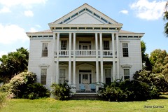 | John Howland Wood House | building | 1983 | 83003811 |
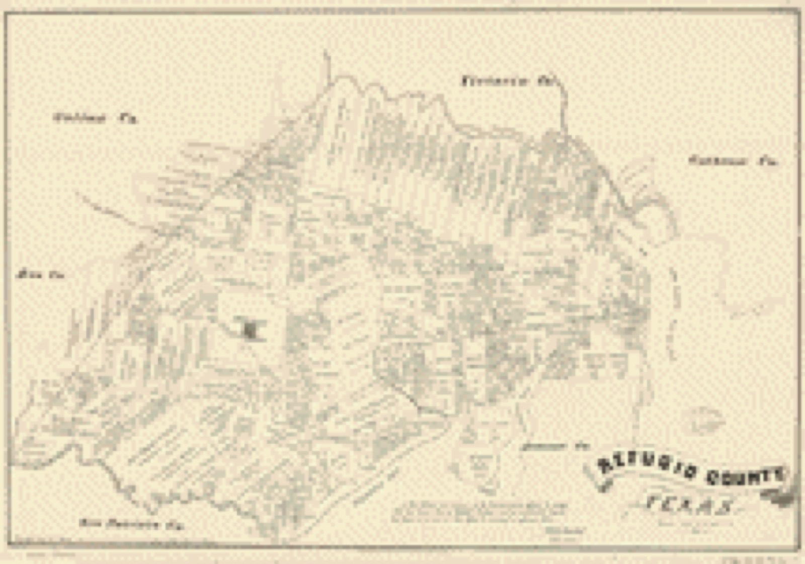
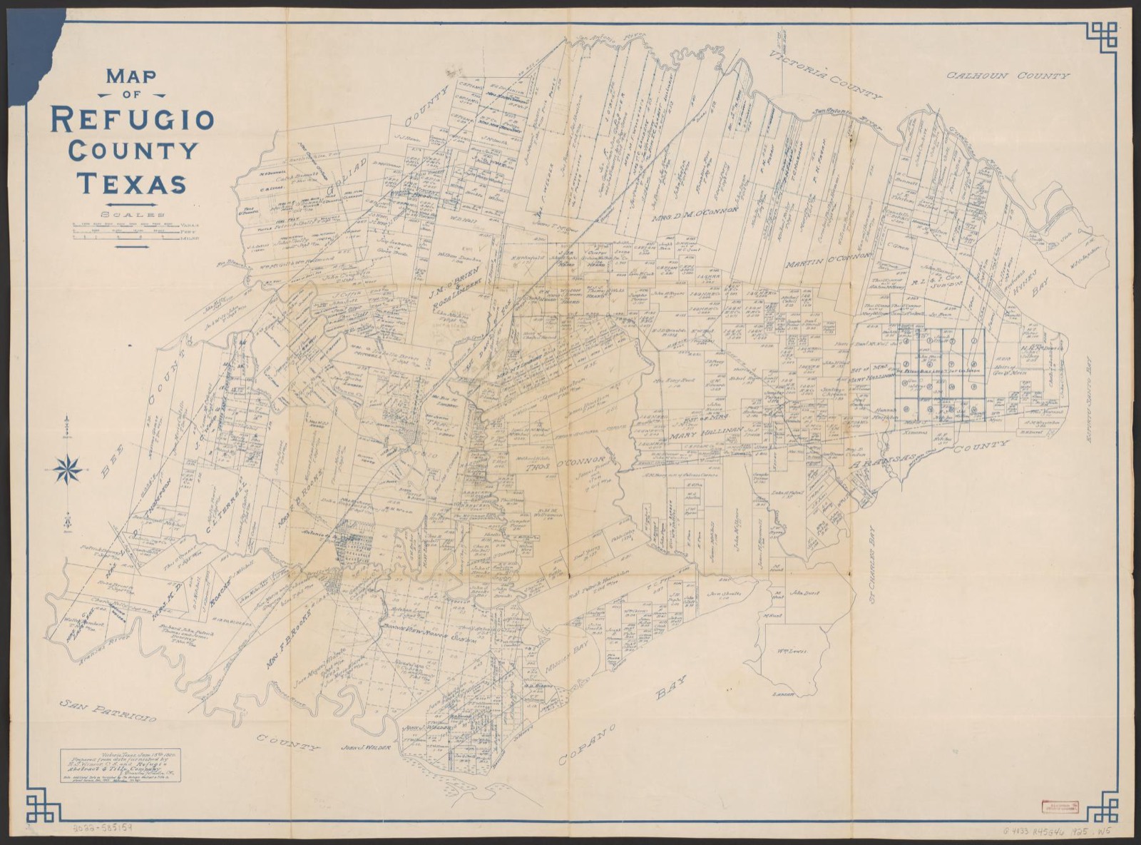
Drawn when these were printed as single large sheets: the town seen from the air, and the county divided into its farms with every owner named. Each opens the original at the Library of Congress.
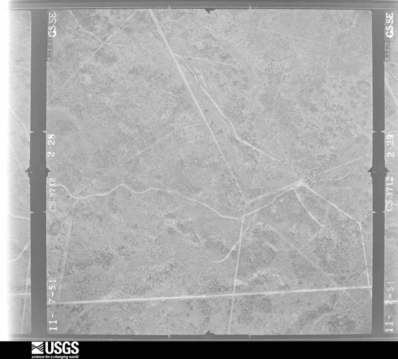
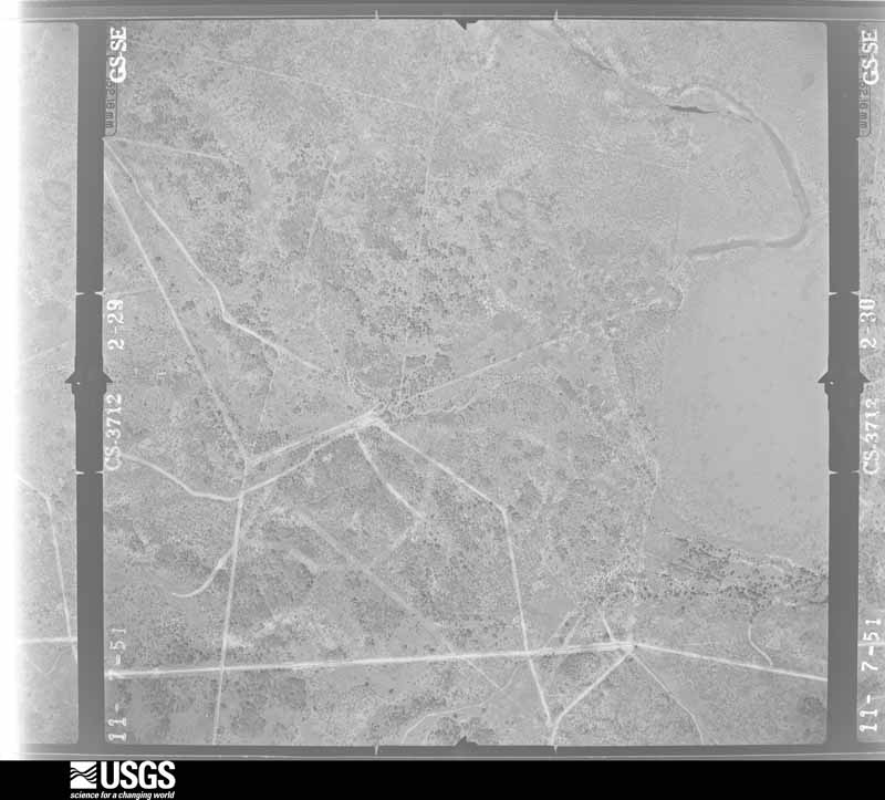
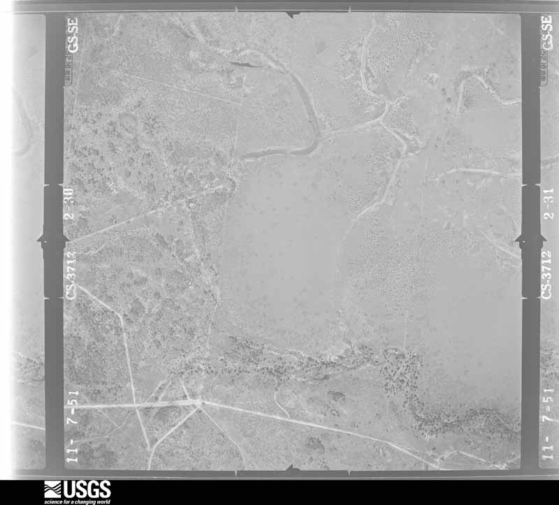
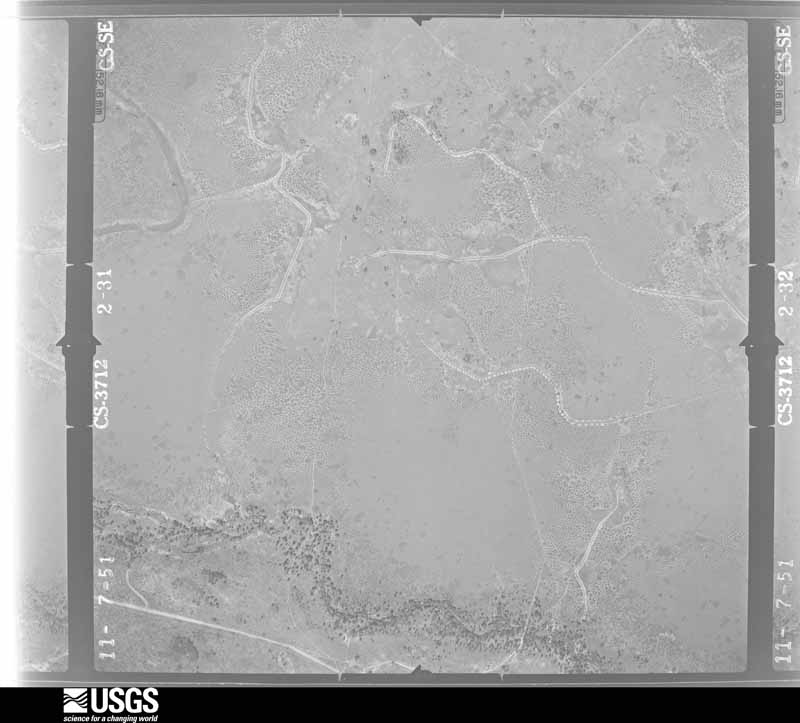
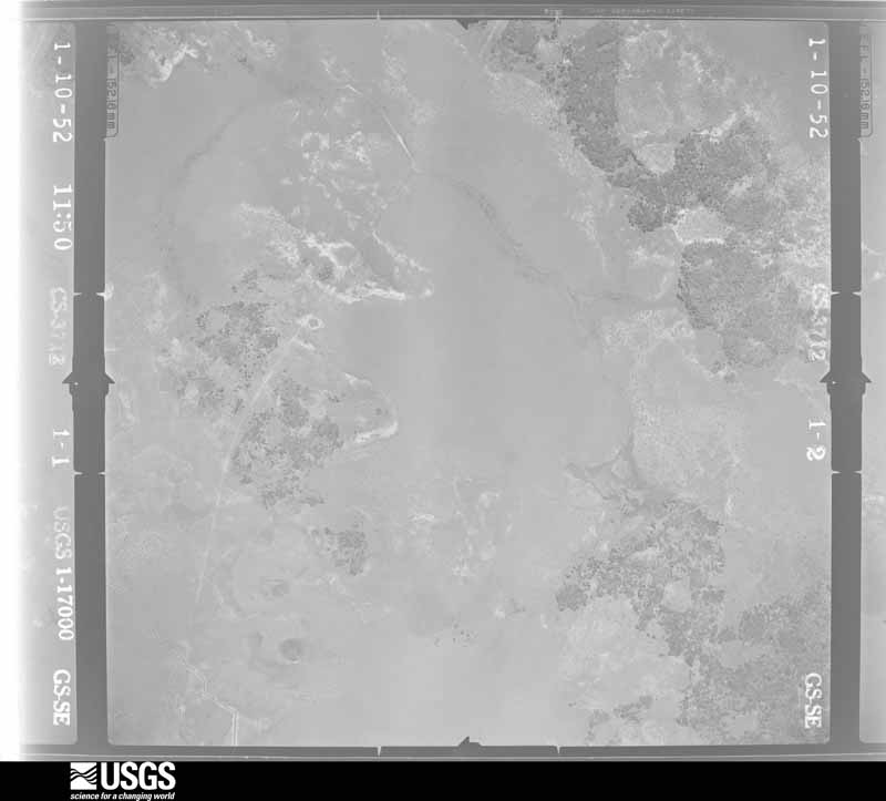
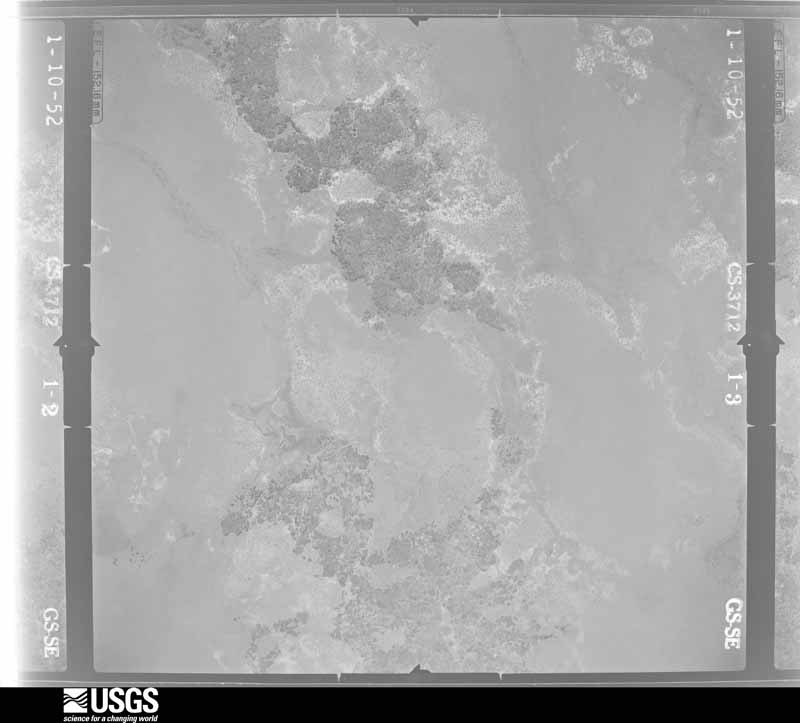
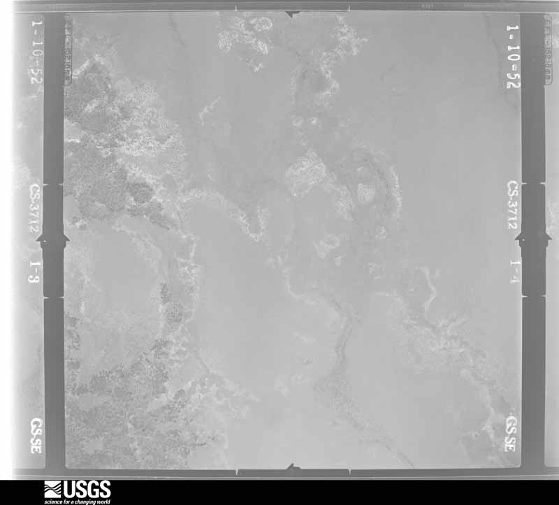
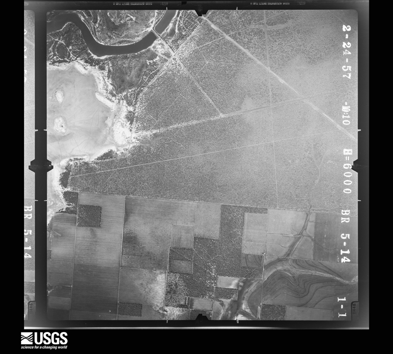
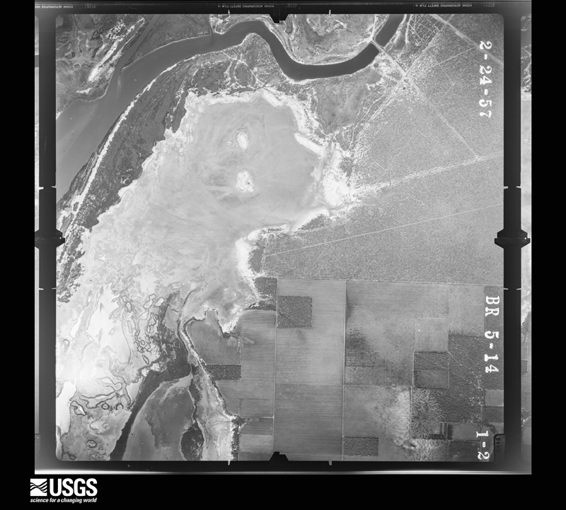
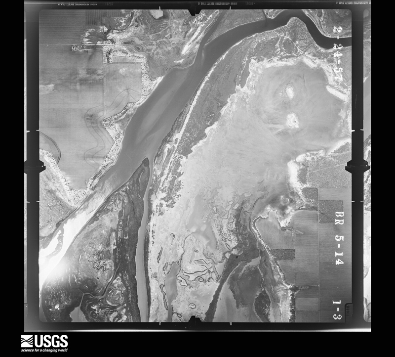
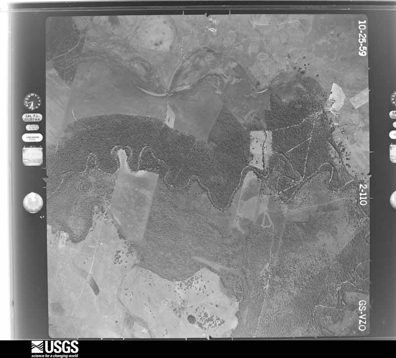
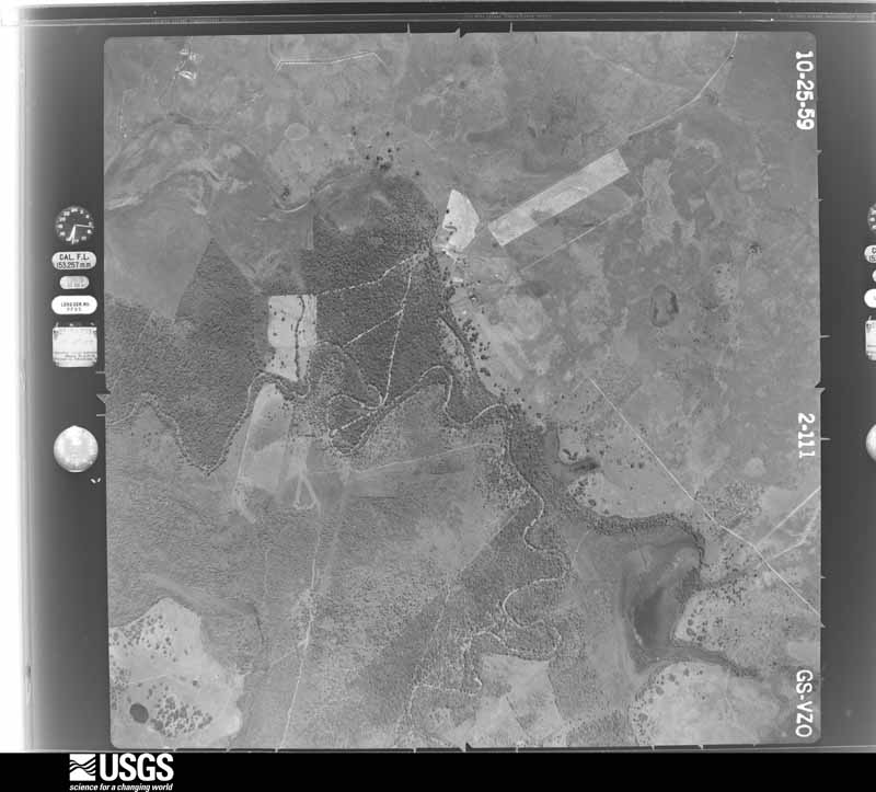
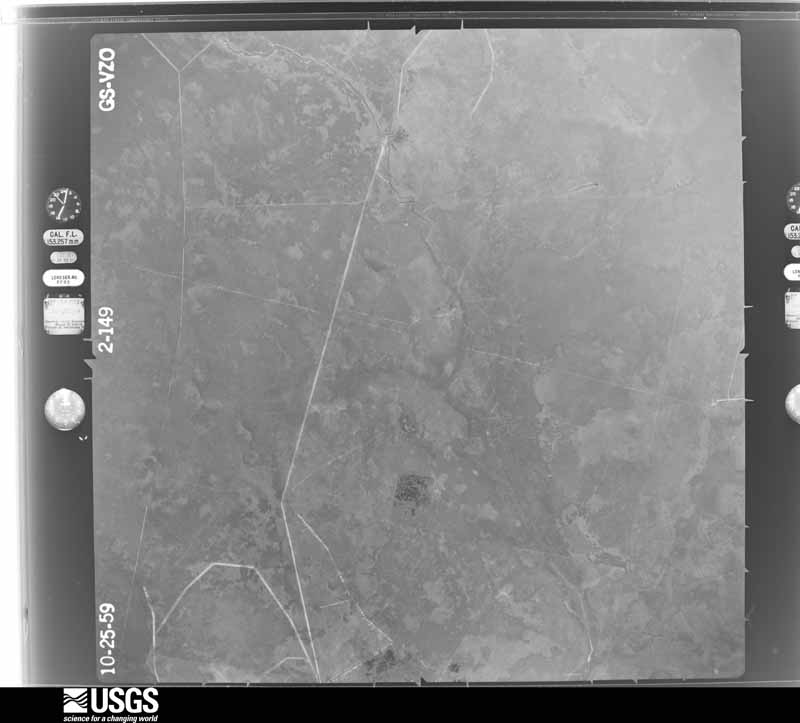
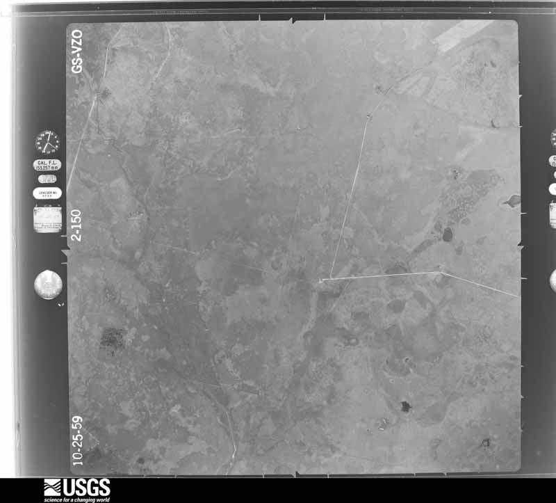
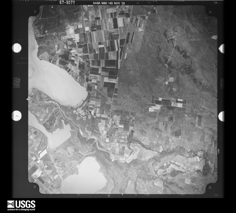
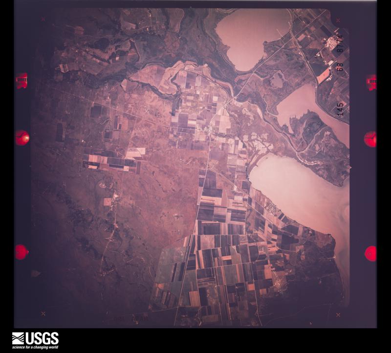
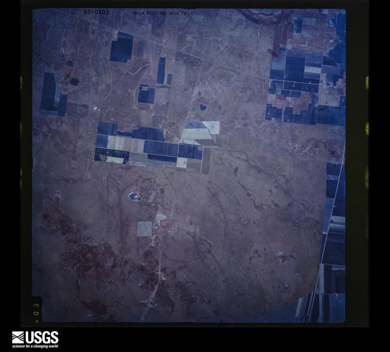
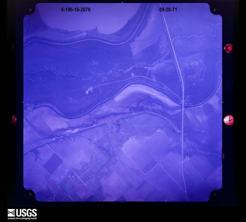
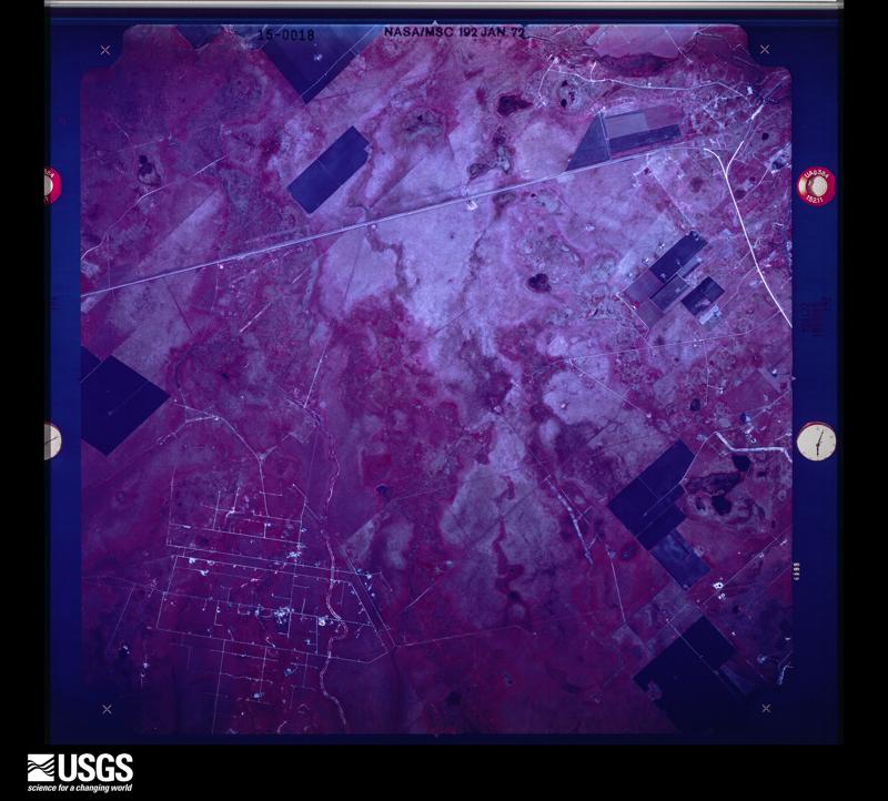
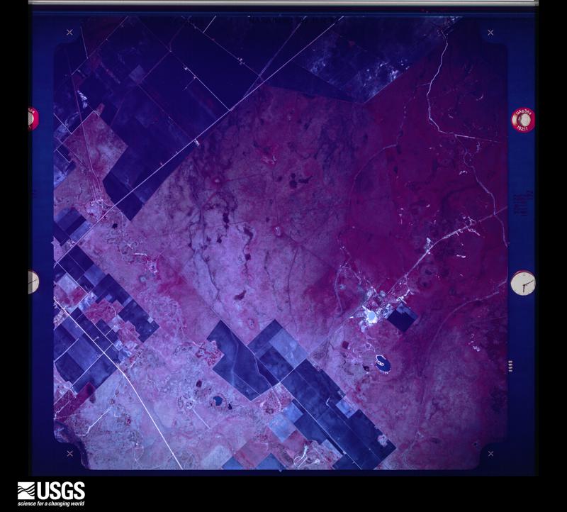
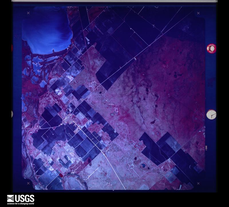
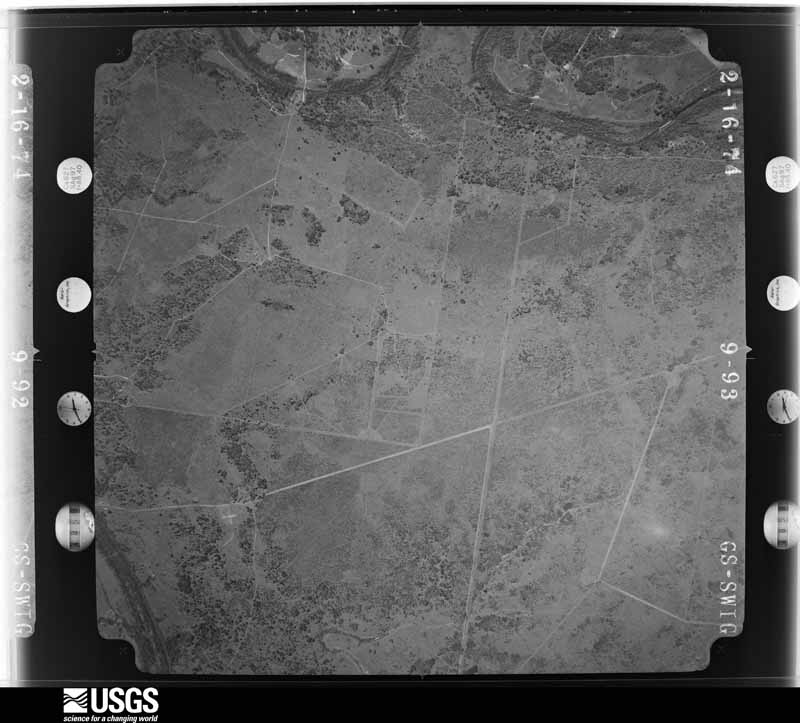
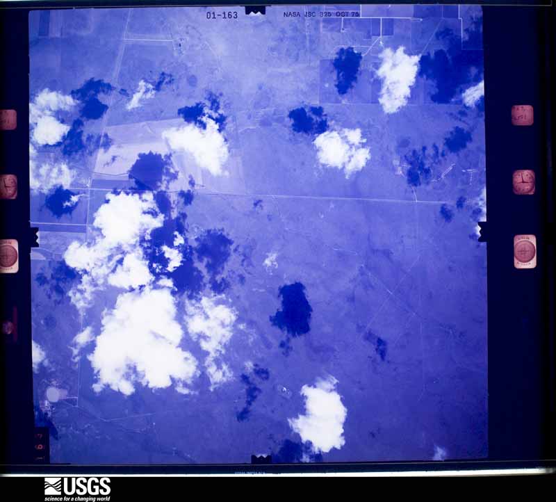
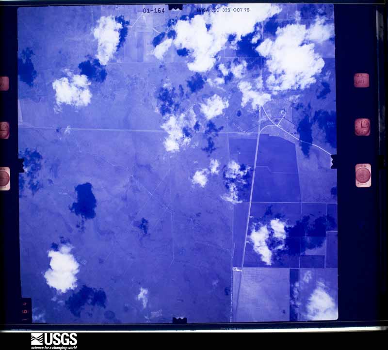
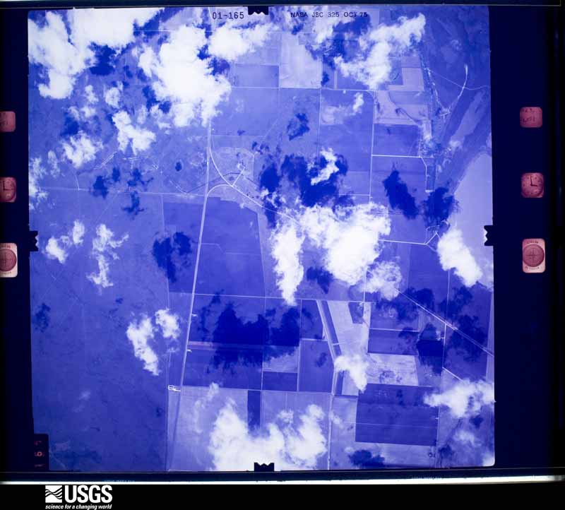
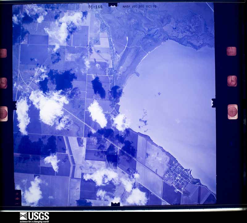
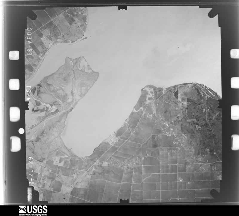
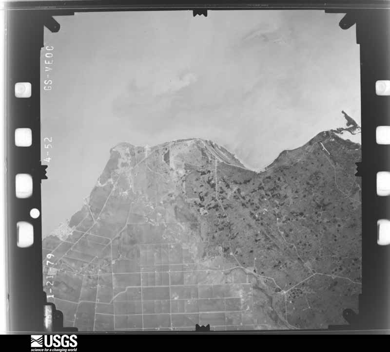
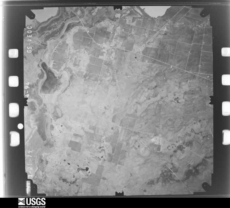
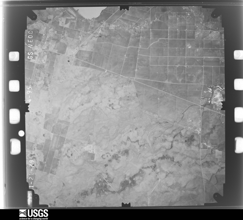
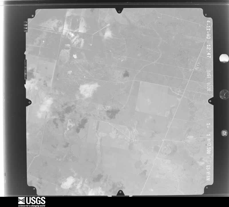
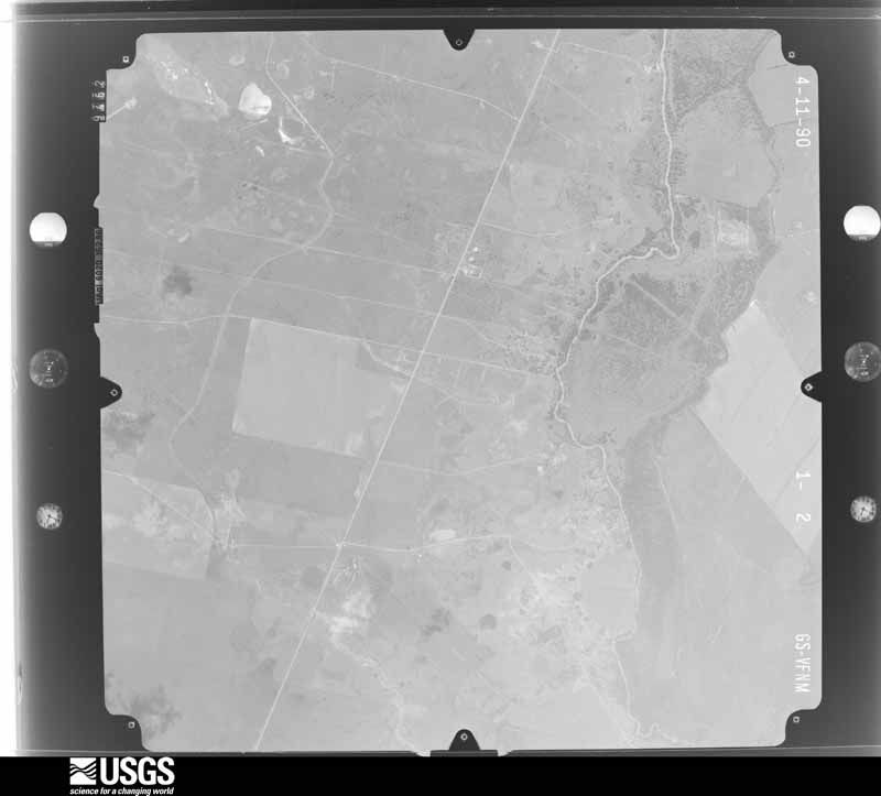
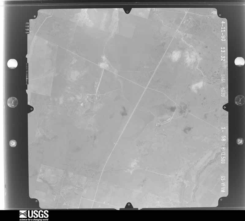
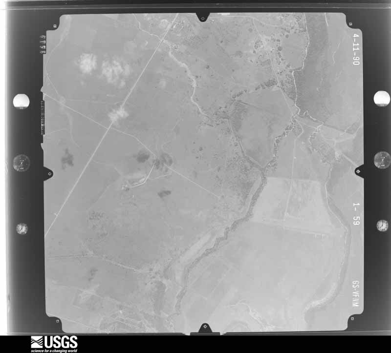
Flown by the U.S. Geological Survey between 1937 and 1989, the Aerial Photo Single Frames collection is the definitive mid-century view of the land: fields, roads and rivers as the camera saw them. The Survey holds 5,596 frames inside the rectangle that bounds this county; the 48 frames below were taken over the county itself, chosen across the decades of flights (at most four a year from that rectangle), so one flight cannot crowd out the rest. The full set is free to browse and download at EarthExplorer under the dataset Aerial Photo Single Frames.


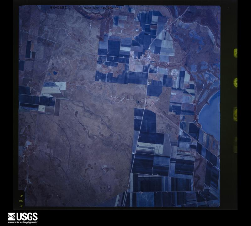
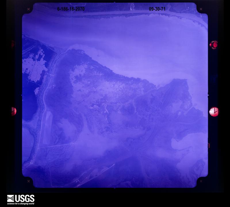
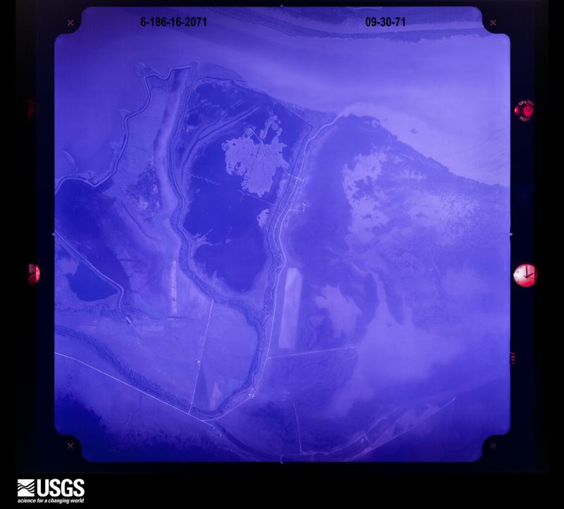
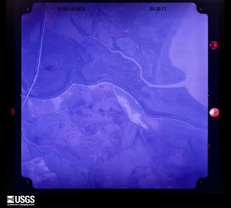
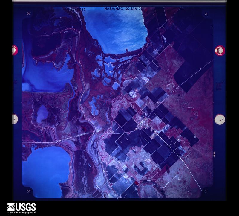
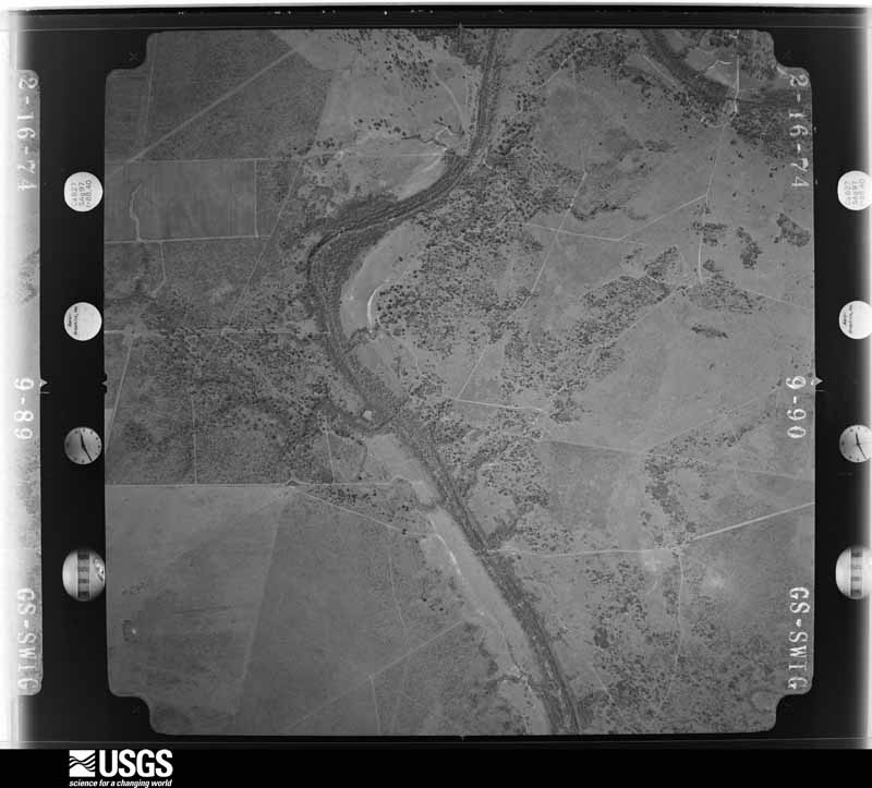
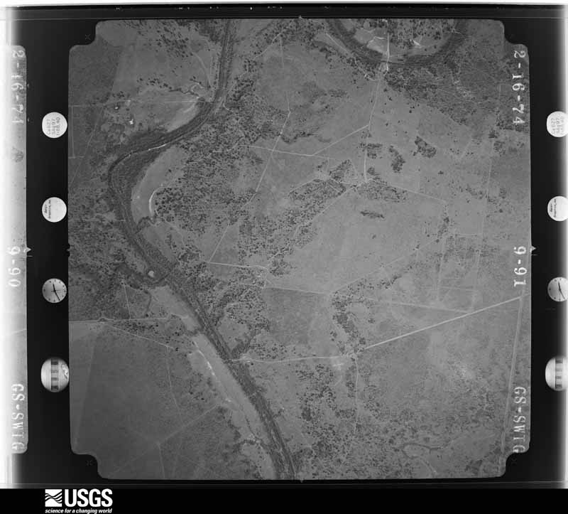
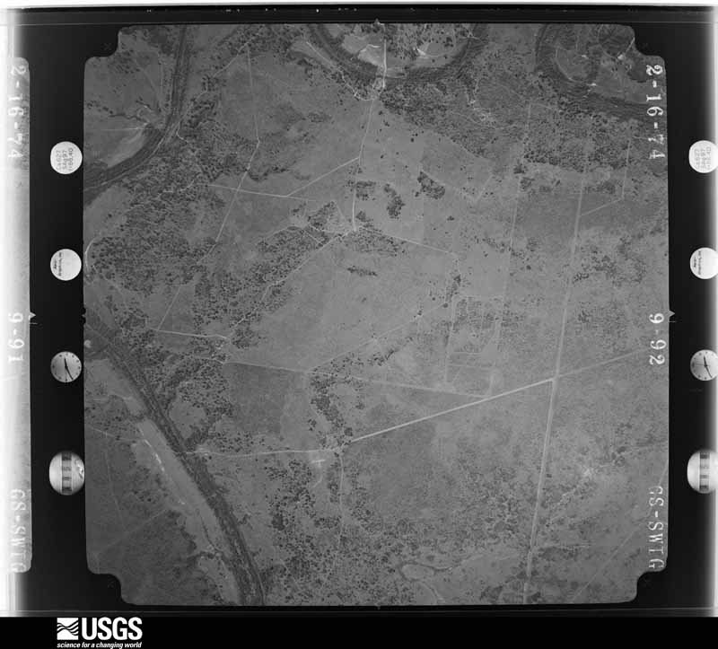




The thermometers that kept this county's weather, and the gages that measured the flow of its streams, as the federal records hold them. The extremes below are measured values from those records, not estimates.
Who lived here in 1950, one enumeration district at a time, as the Census Bureau described each district. Each row opens its official National Archives result, with Population Schedules and ED Maps available there.
Every wildfire the federal occurrence database records inside this county: 82 of them, burning about 4,988 acres. 3 started naturally and 1 was recorded as arson. Each settlement page carries the fires within five miles of it.
| Reported cause | Fires |
|---|---|
| Missing data/not specified/undetermined | 28 |
| Debris and open burning | 26 |
| Equipment and vehicle use | 13 |
| Smoking | 6 |
| Power generation/transmission/distribution | 3 |
| Natural | 3 |
| Recreation and ceremony | 1 |
| Arson/incendiarism | 1 |
| Railroad operations and maintenance | 1 |
The five largest, by the area the report gives. None of them was recorded as arson.
| Date | Cause | Size | Reported by | Name on the report |
|---|---|---|---|---|
| 25 August 2019 | Natural | 1,568 acres | Texas A & M Forest Service | GRETA |
| 29 April 2006 | Equipment and vehicle use | 1,000 acres | Texas A & M Forest Service | QUINTANO RD. FIRE |
| 1 May 2009 | Equipment and vehicle use | 500 acres | Texas A & M Forest Service | GRASS FIRE |
| 1 March 2009 | Missing data/not specified/undetermined | 500 acres | Texas A & M Forest Service | HIWAY 77N - REFUGIO COUNTY |
| 20 July 2017 | Debris and open burning | 400 acres | Texas A & M Forest Service | 183 |
| 1 July 2008 | Natural | 175 acres | Texas A & M Forest Service | not named |
| 27 July 2008 | Debris and open burning | 150 acres | Texas A & M Forest Service | not named |
| 15 March 2008 | Debris and open burning | 100 acres | Texas A & M Forest Service | not named |
Every settlement page carries the fires within five miles of it - see the settlement index below.
The NOAA Storm Events Database holds 153 reports for this county, causing no deaths, 2 injuries and about $1,059,000 in recorded property damage. Each settlement page carries the reports that name it.
| Kind of event | Reports |
|---|---|
| Flash Flood | 45 |
| Hail | 37 |
| Thunderstorm Wind | 31 |
| Tornado | 25 |
| Heavy Rain | 5 |
| Flood | 5 |
| Funnel Cloud | 4 |
| Lightning | 1 |
The most serious of them, by death, then injury, then recorded damage. The accounts are quoted exactly as the forecast office filed them.
| When | Event | Place named | Harm | What the report says |
|---|---|---|---|---|
| December 1995 | Tornado (F0) | Refugio | 1 hurt, $40,000 | County sheriff report of a tornado which had overturned two tractor-semitrailer resulting in one injury. |
| November 1963 | Tornado (F3) | not stated | 1 hurt, $25,000 | no account filed |
| April 2015 | Hail | Austwell | $250,000 | Wind blown golf ball sized hail caused damage to many windows in businesses and homes in Austwell. |
| March 2018 | Tornado (EF0) | Woodsboro | $100,000 | Tornado touched down near the Woodsboro Farm Co-op damaging the ladder caging on one bin. The tornado moved east-southeast taking down power lines and damaging the roofs of several homes. One roof was completely removed from a mobile home. Minor tree damage was noted along the path length. Damage occurred to another mobile home near the high school before the tornado lifted. |
| April 2015 | Thunderstorm Wind | Austwell | $100,000 | A metal garage was blown over. Large trees were blown down along with numerous power lines through much of the community of Austwell. |
| April 2015 | Thunderstorm Wind | Austwell | $100,000 | NWS storm survey conducted along with the Emergency Manager and County Sheriff concluded straight line winds caused damage in the tiny fishing village of Hopper's Landing. A pavilion was blown into the bay. Very large trees were blown down. |
| April 2015 | Hail | Refugio | $50,000 | Quarter to golf ball sized hail occurred across the northwest and northern portions of the city of Refugio. |
| April 2015 | Hail | Austwell | $50,000 | Wind blown tennis ball sized hail destroyed windows and siding in Hopper's Landing. |
| June 2014 | Tornado (EF0) | Refugio | $50,000 | NWS storm survey and local video concluded an EF0 tornado, with winds estimated at 65 MPH briefly touched down in north Refugio. It touched down near the intersection of west Heard Street and north Alamo Street. The tornado removed the roof and collapsed the north facing exterior wall of one mobile home. Minor shingle damage was observed on a couple of homes along east Houston Street. Several large trees were toppled. |
| June 2013 | Thunderstorm Wind | Refugio | $50,000 | Winds caused the roof to lift off a trailer house, downed numerous trees, damaged many fences, and downed power lines in Refugio. |
| May 2012 | Tornado (EF0) | Bonnie View | $30,000 | NWS storm survey concluded a tornado touched down in an open field just east of Levien Road. The tornado traveled east crossing Gin Road where it snapped 5 utility poles and blew the roof off of a shed. The tornado dissipated before crossing Farm to Market Road 136 north of Bayside. |
| March 2016 | Lightning | Refugio | $25,000 | Lightning struck a 200 barrel oil storage tank on North Swift Street creating a large oil fire. Multiple emergency vehicles were required to contain the fire. |
| May 2015 | Thunderstorm Wind | Bonnie View | $25,000 | Large tree limbs were snapped from south of Woodsboro to northeast of Woodsboro. Limbs were estimated to be up to a foot in diameter. A few power lines were blown down. |
| May 1992 | Tornado (F1) | not stated | $25,000 | no account filed |
| March 2016 | Thunderstorm Wind | Bonnie View | $20,000 | High winds damaged a barn, blew in a garage door, destroyed several sheds, and moved farm equipment near the community of Bonnie View. Winds were estimated to be near 70 mph. |
| June 2019 | Thunderstorm Wind | Refugio | $15,000 | Power poles were blown down and a trampoline was blown up into a tree on the west side of Refugio. |
| June 2010 | Thunderstorm Wind | Bonnie View | $15,000 | A 150-200 foot barn was destroyed and blown downwind, 1/4 mile was of FM 629 and Boenig Rd. Several trees were also damaged nearby. |
| May 2020 | Hail | Austwell | $10,000 | Quarter sized hail occurred in Austwell. |
| July 2018 | Thunderstorm Wind | Refugio | $10,000 | Thunderstorm winds blew part of a roof off in Refugio. This caused a natural gas line to break. |
| April 2017 | Hail | Woodsboro | $10,000 | Refugio County Sheriff received a call of golf ball sized hail falling in Woodsboro. |
| April 2015 | Hail | Cranell | $10,000 | Spotters reported tennis ball sized hail near Highway 77 south of Woodsboro. |
| April 2012 | Hail | Austwell | $10,000 | Golf ball sized hail reported by Austwell Postmaster. |
| May 2022 | Thunderstorm Wind | Refugio Rooke Arpt | $5,000 | A tree was blown down. A transformer blew up and started a fire. |
| April 2015 | Tornado (EF0) | Greta | $5,000 | A weak tornado briefly caused damage near Quintana. The tornado damaged six utility poles and broke several large tree limbs. NWS survey team estimated wind speeds were near 80 mph. |
| April 2015 | Tornado (EF0) | Maudlowe | $5,000 | A weak tornado produced damage southwest of Tivoli. The tornado damaged several utility poles. A NWS storm survey team estimated wind speeds were around 80 mph. |
| April 2015 | Hail | Bonnie View | $5,000 | Television station relayed a report of golf ball sized hail in the community of Bonnie View. |
| May 2015 | Thunderstorm Wind | Refugio | $5,000 | A picture was relayed via social media of a 2 feet diameter tree uprooted in Refugio. |
| May 1994 | Thunderstorm Wind | Refugio | $5,000 | Power lines were reported down in Refugio by the County Sheriff. |
| December 1994 | Hail | N of Refugio | $3,000 | ,A severe thunderstorm was indicated by radar near Woodsboro, moving toward Refugio. Both hail reports were received from the sheriffs department. |
| May 1965 | Tornado (F2) | not stated | $2,500 | no account filed |
| December 1994 | Hail | Woodsboro-Refugio | $2,000 | ,A severe thunderstorm was indicated by radar near Woodsboro, moving toward Refugio. Both hail reports were received from the sheriffs department. |
| November 2012 | Thunderstorm Wind | Bonnie View | $1,000 | Strong winds blew small tree limbs down 4 miles south of Woodsboro. |
| June 2010 | Thunderstorm Wind | Woodsboro | $500 | Large tree was uprooted at Hwy 136 and 3rd Street. A 59 mph wind gust was also measured from a nearby home weather station. Pea sized hail was also reported. |
| September 2025 | Heavy Rain | Woodsboro | - | Total of 3.15 inches. |
| April 2023 | Hail | Woodsboro | - | Spotter reported hail from quarter to ping pong ball size in Woodsboro. |
| June 2021 | Thunderstorm Wind | Austwell | - | Observer estimated wind gust to near 60 MPH near Austwell. |
| May 2021 | Flash Flood | Woodsboro | - | Flooded roads reported in and around Refugio, including Quinn Road. |
| July 2021 | Flash Flood | Refugio | - | FM 774 from Texas Highway 35 to FM 2678 was closed due to high water. |
| July 2021 | Flood | Refugio | - | Copano Creek near Refugio went above major flood stage on the afternoon of the 8th and crested near 18 feet during the early morning hours of the 9th. |
| July 2021 | Flash Flood | Bayside | - | FM 629 from FM 136 to FM 3037 was closed due to high water. FM 2511 from FM 136 to FM 1360 was closed due to high water. |
| July 2021 | Flash Flood | Refugio | - | FM 774 east of Refugio was closed due to flooding. |
| July 2021 | Heavy Rain | Austwell | - | Damage estimates due to sorghum losses in the county were at 7.011 million dollars across the county due to heavy rainfall. A 40 percent loss occurred with the sorghum crop. |
| July 2020 | Tornado (EFU) | Bonnie View | - | Tornado occurred over an open field. No damage was documented. |
| June 2018 | Flash Flood | Bonnie View | - | Flooding along Chocolate Swale and Sous Creek caused water to cover the roadways along Farm to Market Roads 629 and 1360 near Bonnie View and Farm to Market Road 1360 near Woodsboro. |
| June 2018 | Flash Flood | Bonnie View | - | Many roads around Woodsboro were flooded. Highway 77 between Woodsboro and Refugio had water over the roadway. Farm to Market Road 1360 was flooded between Woodsboro and Bonnie View. |
| June 2018 | Flash Flood | Greta | - | Portions of Highway 183 north of Refugio had water over the roadway. |
| June 2018 | Flash Flood | Bonnie View | - | Water was over the road near Chocolate Swale and Farm to Market Road 136 southeast of Woodsboro. |
| September 2018 | Flood | Bonnie View | - | Farm to Market Roads 2678, 1360, and 3037 around and east of Bonnie View had water across them but were passable. |
| September 2018 | Flash Flood | Bonnie View | - | Parts of Farm to Market Road 629 near Bonnie View was closed due to flash flooding along Chocolate Swale. |
| September 2018 | Flash Flood | Bayside | - | Farm to Market Road 2511 4 miles north of Bayside was closed due to flash flooding. |
| June 2017 | Hail | Refugio | - | Pictures relayed through social media showed quarter to half dollar sized hail in Refugio. |
| August 2017 | Flood | Austwell | - | USGS survey showed flood waters reached 2 to 3 feet across portions of eastern Refugio County. Floodwaters inundated portions of Highway 35 south of Tivoli. Radar data estimated 15 to 20 inches of rain occurred in this region. |
| March 2016 | Flash Flood | Woodsboro | - | Texas Department of Transportation reported water over the highway on Farm to Market Road 629 between Farm to Market Roads 136 and 1360. |
| April 2015 | Hail | Bonnie View | - | Spotter reported nickel sized hail. |
| April 2015 | Tornado (EF0) | Refugio Rooke Arpt | - | A brief rope tornado lasted around 30 seconds. |
| April 2015 | Funnel Cloud | Refugio Rooke Arpt | - | Spotter reported a funnel cloud low to the ground west of Refugio. |
| April 2015 | Funnel Cloud | Refugio | - | Refugio County Sheriff's Office reported a funnel cloud northwest of Refugio. |
| May 2015 | Thunderstorm Wind | Refugio | - | Refugio County Sheriff's Office estimated wind gusts up to 65 mph. |
| June 2014 | Flash Flood | Refugio | - | Public reported county roads covered with a foot of water in places to the northeast of Refugio. |
| April 2013 | Tornado (EF0) | Vidauri | - | Public reported a tornado about 5 miles north of Quintana. |
Named settlements recorded in the Geographic Names Information System, each with the topographic sheets covering it. Villages, hamlets and abandoned places alike. Each is shown with the nearest named watercourse or landform and the survey quadrangle it falls on.
Woodsboro census division · 78340 · Rincon Bend quadrangle
8 sheets, 1953 to 1985
No longer a settlement
Refugio census division · 78377 · Near Ninemile Flat · Ryanville quadrangle
8 sheets, 1953 to 1985
Austwell-Tivoli census division · 77990 · On Miller Creek · Tivoli quadrangle
8 sheets, 1952 to 1983
The vanished settlements of Refugio County: the places named above that are no longer on the map.