 Block
BlockFrom the record
1 National Register listing published here.
Sources: the National Register database, National Park Service
71 topographic sheets cover 22 settlements here, and 1 property is on the National Register of Historic Places.
1 National Register listing published here.
Sources: the National Register database, National Park Service
Every property in this county listed on the National Register of Historic Places, with the year it was listed and the federal nomination document.
| Photograph | Property | Type | Listed | Reference |
|---|---|---|---|---|
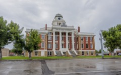 | San Saba County Courthouse | building | 2003 | 03000328 |
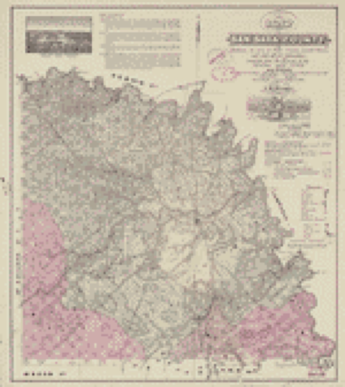
Drawn when these were printed as single large sheets: the town seen from the air, and the county divided into its farms with every owner named. Each opens the original at the Library of Congress.
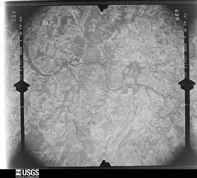
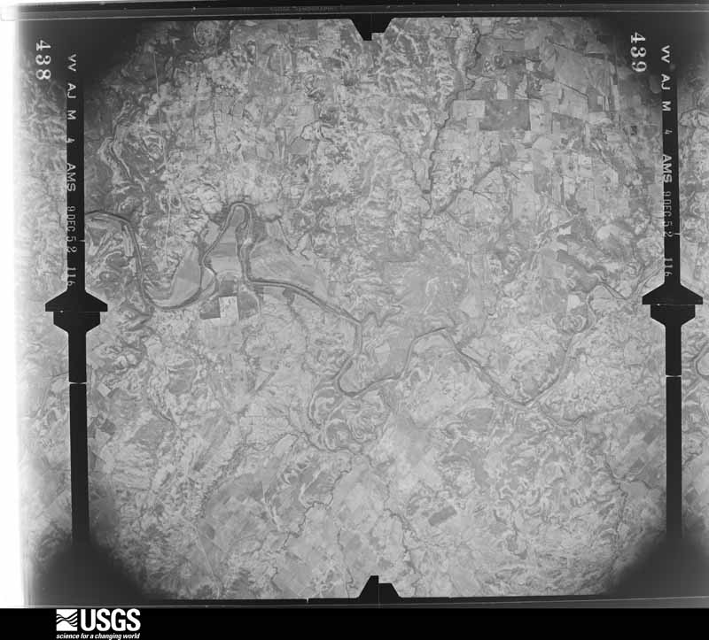
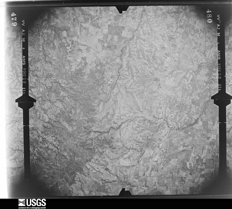
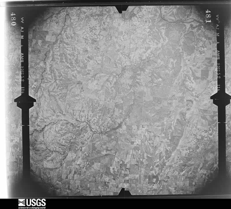
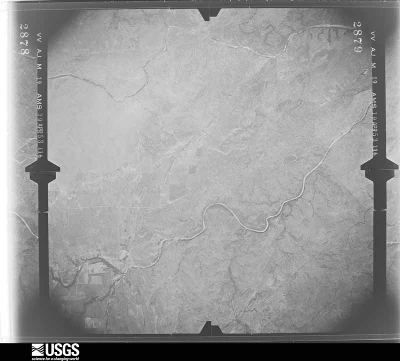
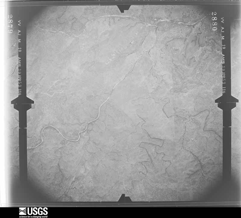
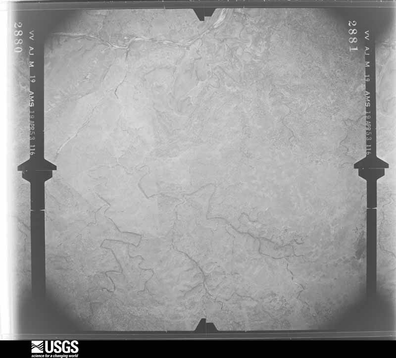
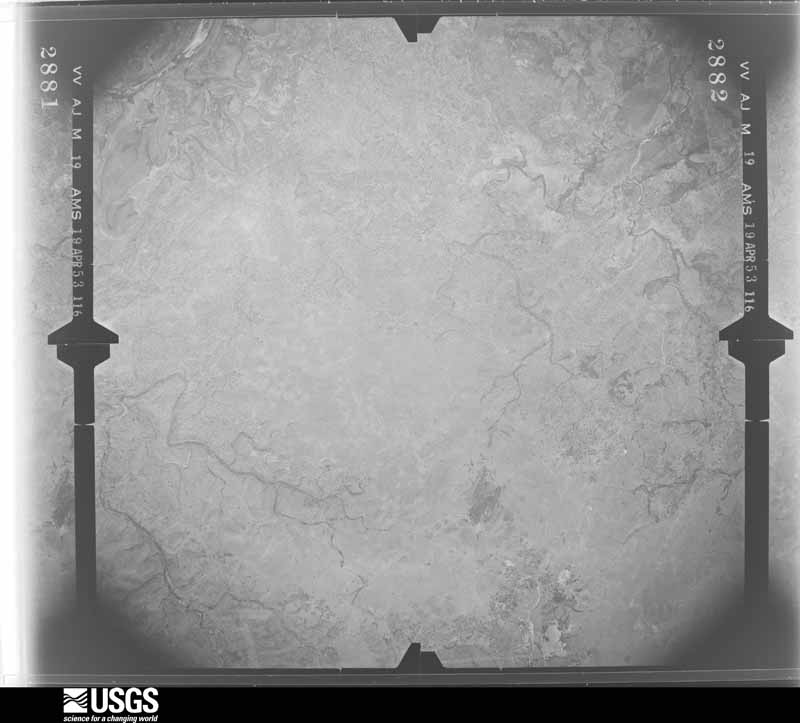
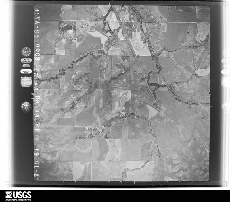
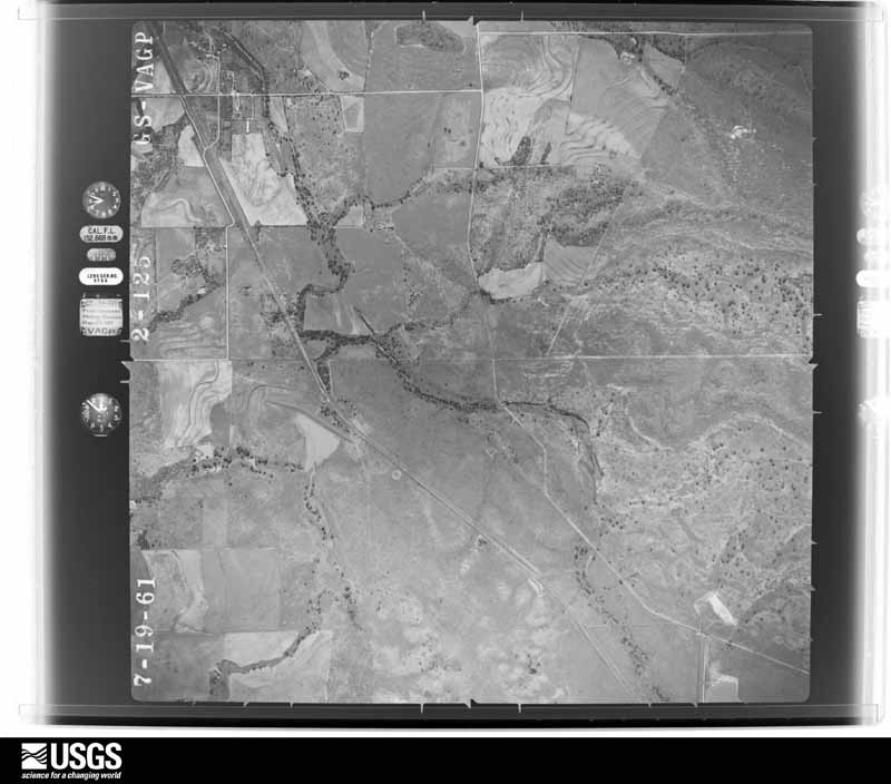
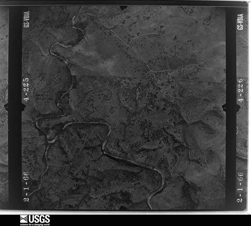
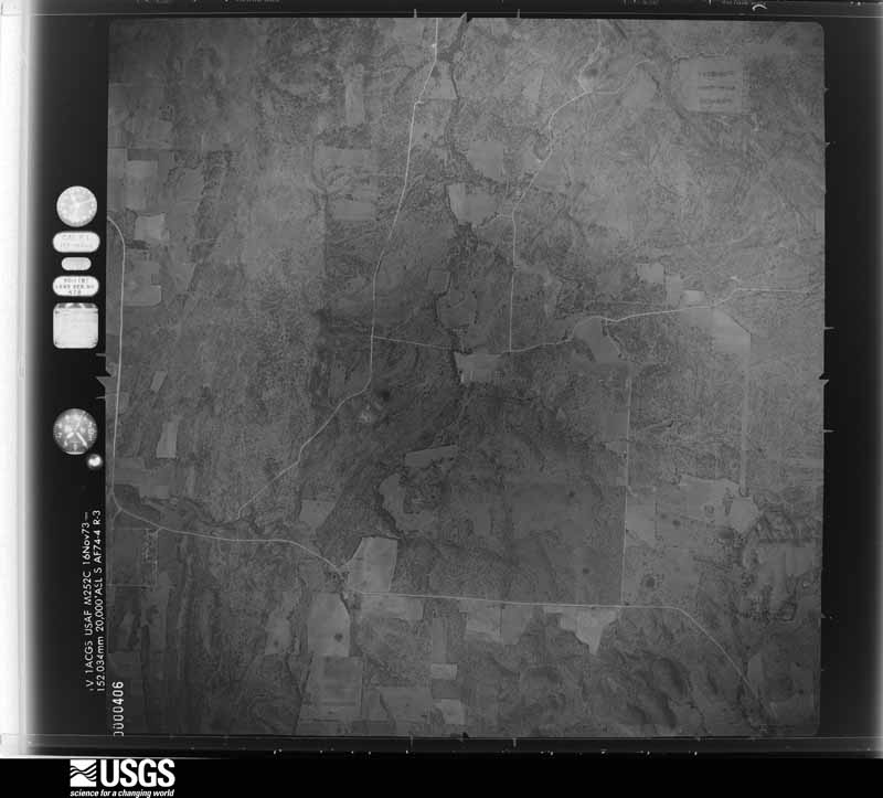
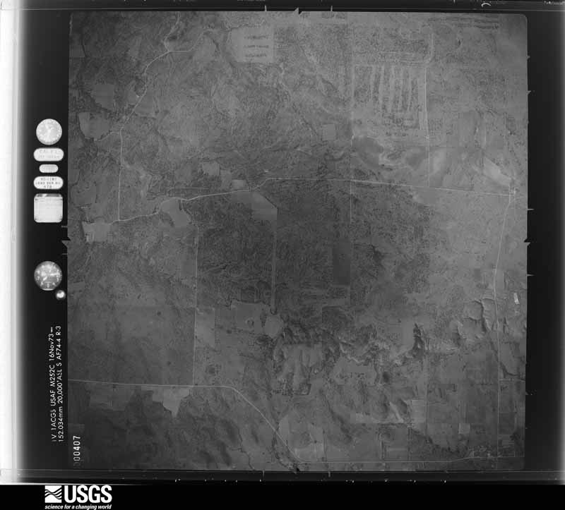
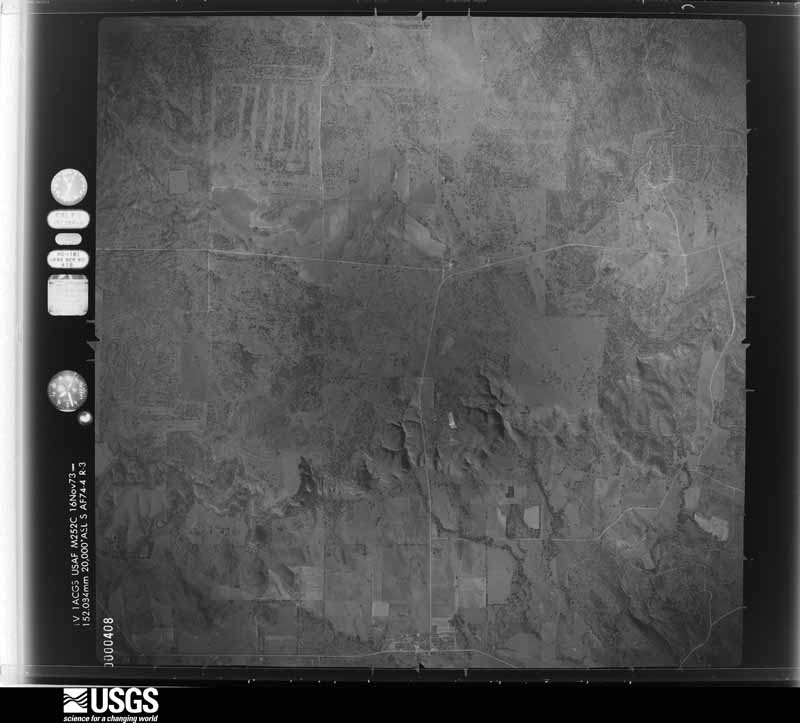
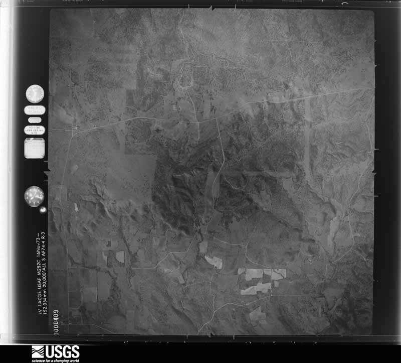
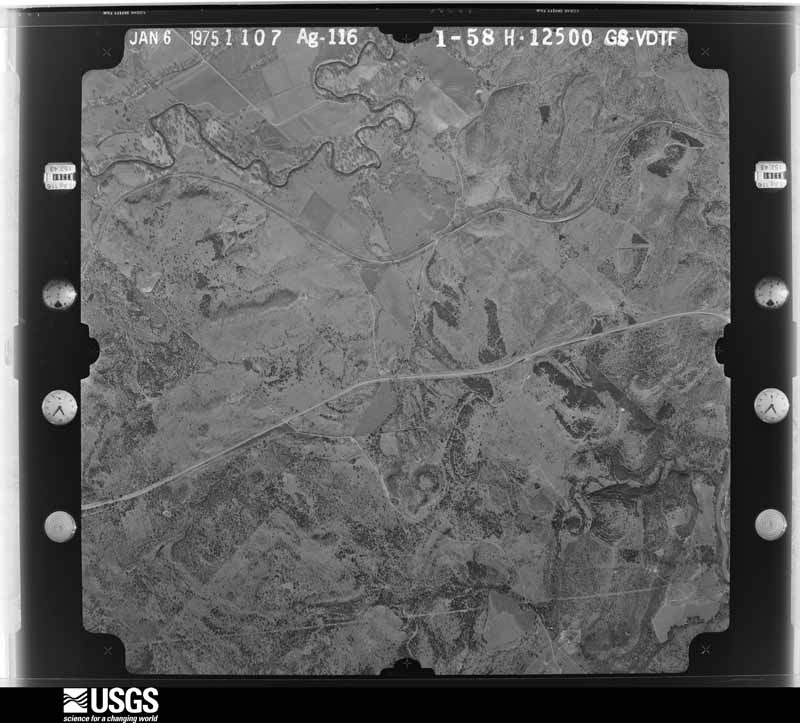
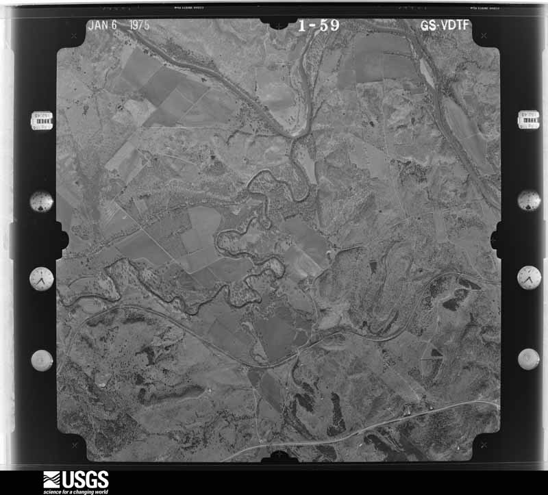
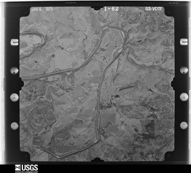
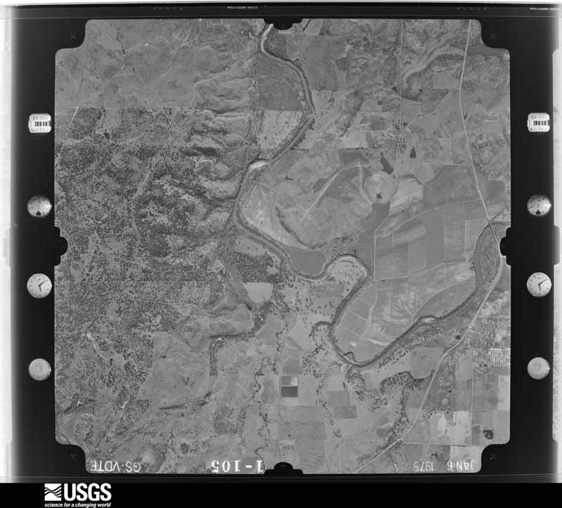
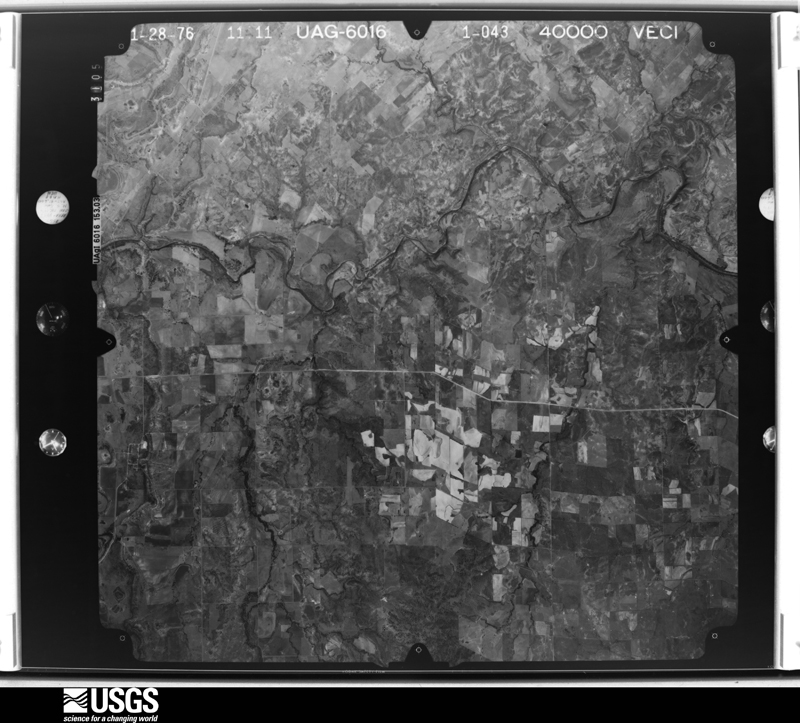
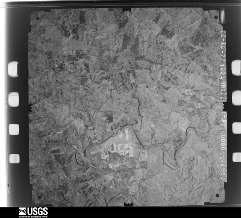
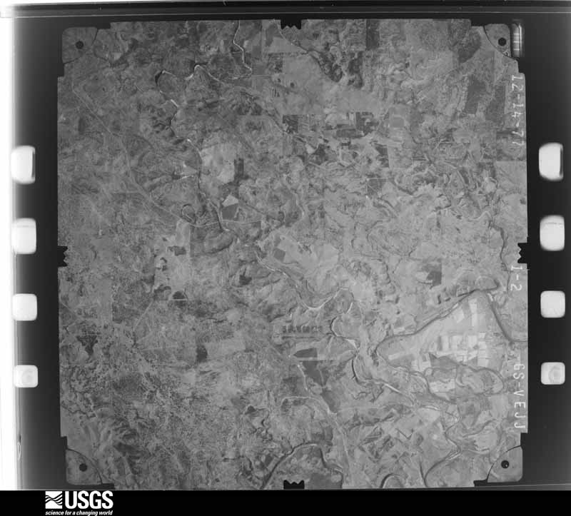
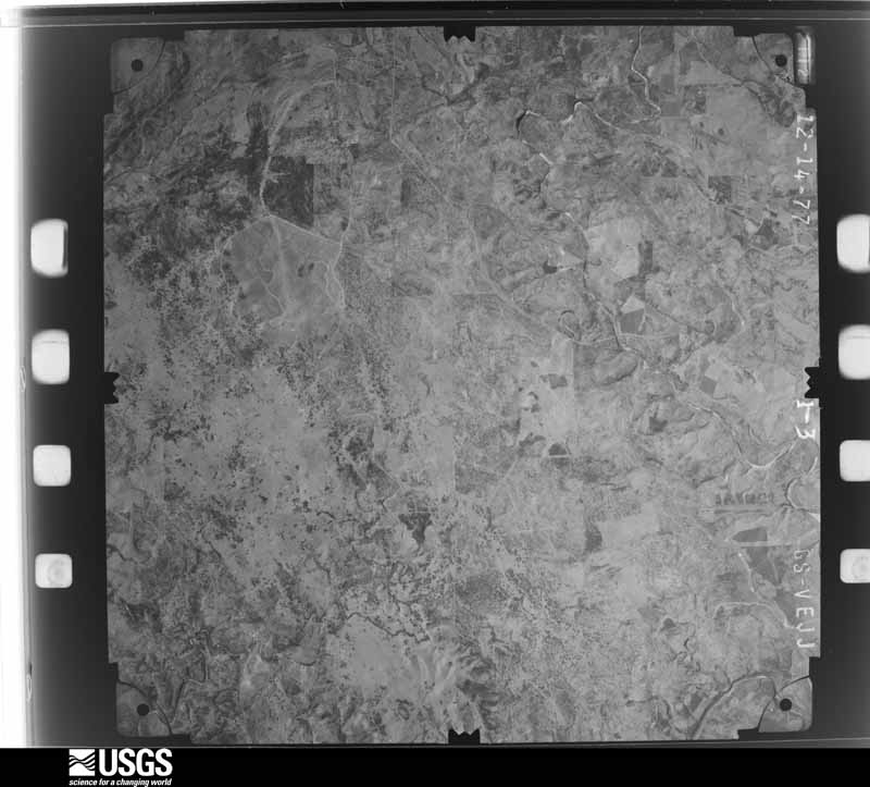
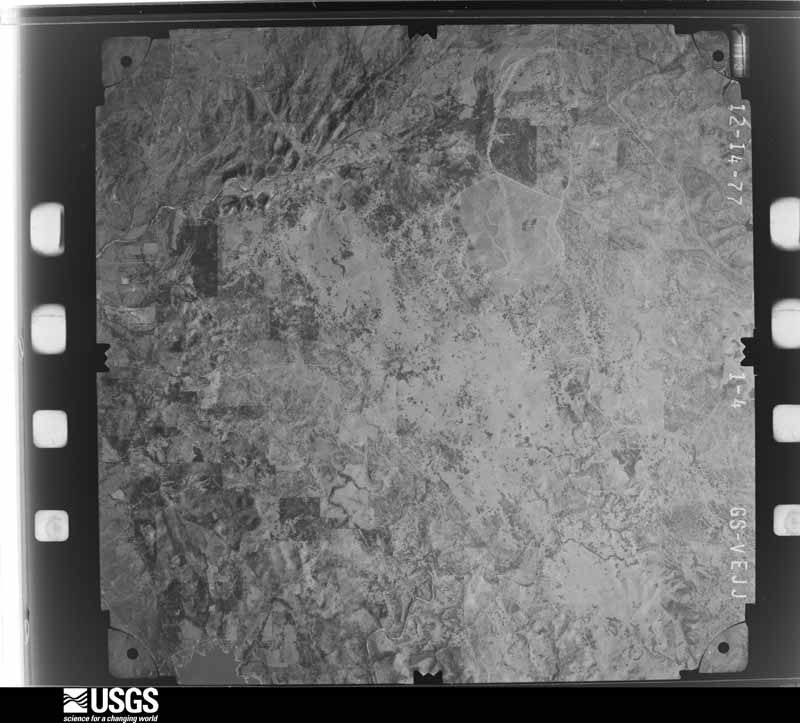
Flown by the U.S. Geological Survey between 1937 and 1989, the Aerial Photo Single Frames collection is the definitive mid-century view of the land: fields, roads and rivers as the camera saw them. The Survey holds 730 frames inside the rectangle that bounds this county; the 37 frames below were taken over the county itself, chosen across the decades of flights (at most four a year from that rectangle), so one flight cannot crowd out the rest. The full set is free to browse and download at EarthExplorer under the dataset Aerial Photo Single Frames.
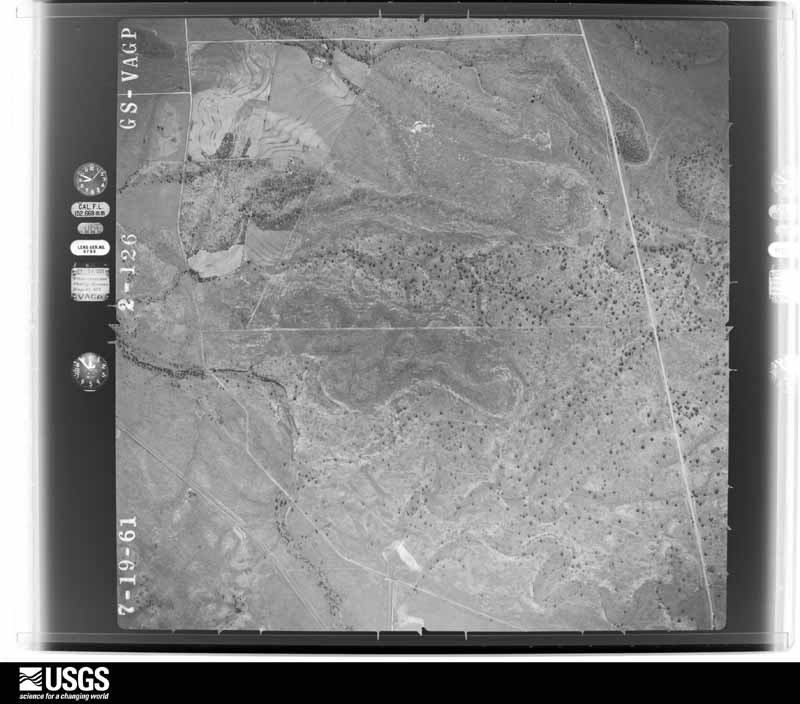
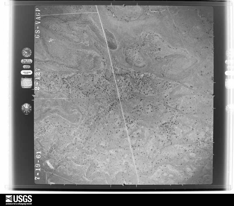
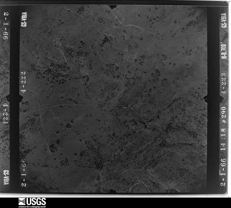
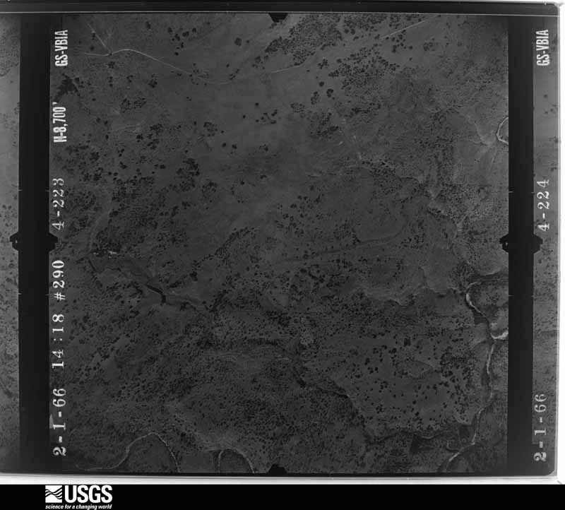









The thermometers that kept this county's weather, and the gages that measured the flow of its streams, as the federal records hold them. The extremes below are measured values from those records, not estimates.
Who lived here in 1950, one enumeration district at a time, as the Census Bureau described each district. Each row opens its official National Archives result, with Population Schedules and ED Maps available there.
Every wildfire the federal occurrence database records inside this county: 407 of them, burning about 66,875 acres. 39 started naturally and 6 were recorded as arson. Each settlement page carries the fires within five miles of it.
| Reported cause | Fires |
|---|---|
| Debris and open burning | 131 |
| Missing data/not specified/undetermined | 128 |
| Equipment and vehicle use | 86 |
| Natural | 39 |
| Arson/incendiarism | 6 |
| Power generation/transmission/distribution | 6 |
| Recreation and ceremony | 4 |
| Railroad operations and maintenance | 4 |
| Smoking | 2 |
| Misuse of fire by a minor | 1 |
The five largest, by the area the report gives. None of them was recorded as arson.
| Date | Cause | Size | Reported by | Name on the report |
|---|---|---|---|---|
| 15 August 1993 | Missing data/not specified/undetermined | 12,892 acres | Texas A & M Forest Service | SAN SABA FIRE |
| 2 August 2020 | Equipment and vehicle use | 9,813 acres | Texas A & M Forest Service | MAYS |
| 19 October 1999 | Missing data/not specified/undetermined | 6,213 acres | Texas A & M Forest Service | WILLIAM'S RANCH FIRE |
| 6 September 2000 | Natural | 5,205 acres | Texas A & M Forest Service | DEEP CREEK |
| 22 August 2015 | Equipment and vehicle use | 3,409 acres | Texas A & M Forest Service | LOG CABIN |
| 30 July 2014 | Natural | 2,079 acres | Texas A & M Forest Service | HAVELAH COMPLEX FIRE |
| 26 July 2006 | Missing data/not specified/undetermined | 1,935 acres | Texas A & M Forest Service | KIRK RANCH |
| 30 March 2008 | Debris and open burning | 1,800 acres | Texas A & M Forest Service | not named |
Every settlement page carries the fires within five miles of it - see the settlement index below.
The NOAA Storm Events Database holds 258 reports for this county, causing no deaths, 1 injury and about $3,872,500 in recorded property damage. Each settlement page carries the reports that name it.
| Kind of event | Reports |
|---|---|
| Hail | 158 |
| Thunderstorm Wind | 51 |
| Flash Flood | 23 |
| Tornado | 17 |
| Heavy Rain | 3 |
| Flood | 3 |
| Funnel Cloud | 2 |
| Wildfire | 1 |
The most serious of them, by death, then injury, then recorded damage. The accounts are quoted exactly as the forecast office filed them.
| When | Event | Place named | Harm | What the report says |
|---|---|---|---|---|
| May 1994 | Thunderstorm Wind | San Saba | 1 hurt, $50,000 | A teenager, camping at the San Saba River, was struck by a large wind-blown tree limb. The youth sustained a broken collar bone and a punctured lung. Wind damage also occurred at a nearby ranch and to a pecan grove. |
| June 2004 | Thunderstorm Wind | Countywide | $900,000 | Severe thunderstorms brought strong winds to San Saba county resulting in widespread wind damage across much of the county. Tree and power lines were reported down across the county with the worst damage reported in the northern portions of the county. |
| June 2004 | Flash Flood | Countywide | $800,000 | Heavy rains on the morning and early afternoon of the 9th produced rainfall rates of 1 to 2 inches per hour for several hours. Total rainfall amounts of upwards of 10 inches were reported over a 6 mile wide area from southwest San Saba county across the city of San Saba, then on into the northeastern portions of the county. The city of San Saba received the most damage with homes and businesses becoming inundated with water. Also several streets were scoured due to the fast movement of the water. The heavy rains also caused minor flooding on the San Saba river at San Saba and the Colorado river near San Saba. |
| June 1997 | Flash Flood | Richland Spgs | $800,000 | Very heavy rains fell over San Saba County the morning of the 6th. The northwest part of the county received the highest amounts, with ten inches of rain reported at Elk Grove. Eight inches of rain fell at Richland Springs while six and a half inches was measured in the town of San Saba. Major flooding occurred throughout San Saba County. Many residents were stranded in the floodwaters, but later rescued. |
| October 1993 | Hail | Richland Springs | $500,000 | Golf ball-size hail was reported in Richland Springs. Windows were knocked out of building and several cars were damaged. |
| March 1999 | Tornado (F2) | Richland Spgs | $300,000 | The same thunderstorm that spawned a brief touchdown in McCulloch County produced a second tornado south of Richland Springs. A hunting cabin, two trailer homes, 2 barns, and 3 vehicles were destroyed. |
| June 1997 | Flash Flood | Cherokee | $150,000 | Up to six and a half inches of rain fell and flooding was reported throughout the county. HIghway 71 was closed. |
| June 2004 | Thunderstorm Wind | Countywide | $50,000 | The emergency manager reported that widespread wind damage occurred across San Saba county. Power lines and trees were downed across the county. |
| May 1994 | Hail | San Saba | $50,000 | Wind gusts to 70 mph unroofed several houses and blew out windows. |
| May 1994 | Thunderstorm Wind | San Saba | $50,000 | Wind gusts to 70 mph unroofed several houses and blew out windows. |
| October 1993 | Hail | Richland Springs | $50,000 | Golf ball-size hail fell intermittently for an hour, knocking out windows and damaging cars. |
| November 2000 | Flash Flood | Countywide | $25,000 | A series of thunderstorms produced 6 to 8 inches of rain across much of San Saba County, causing most of the creeks and streams in the county to flood. Many roads throughout the county were flooded and impassable, including Farm Roads 45, 500, 502, 765, and 2927. After the flash flooding had subsided, extensive flooding along both the Colorado and San Saba Rivers would follow. |
| June 1992 | Tornado (F1) | not stated | $25,000 | no account filed |
| May 1987 | Tornado (F0) | not stated | $25,000 | no account filed |
| March 2004 | Thunderstorm Wind | San Saba | $15,000 | A camper trailer was destroyed and many tree limbs were knocked down. |
| June 2003 | Thunderstorm Wind | San Saba | $11,000 | no account filed |
| September 2000 | Wildfire | San Saba | $10,000 | no account filed |
| July 2002 | Flash Flood | Northeast Portion | $5,000 | Heavy rains continue to fall over northeast San Saba county causing road closures over the eastern portions of the county. |
| July 2002 | Flash Flood | Countywide | $5,000 | Law enforcement reported significant street flooding in the San Saba area. Creeks and streams also overflowed their banks along State Highway 16 north of San Saba. |
| October 2000 | Flash Flood | Northwest Portion | $5,000 | Thunderstorms dropped 3 to 5 inches of rain across the northwest sections of San Saba County. Several roads were reported flooded, while water entered a house in Richland Springs. |
| July 1998 | Thunderstorm Wind | San Saba | $5,000 | Winds estimated at 60 mph uprooted trees and disrupted power lines throughout the community. |
| May 1995 | Thunderstorm Wind | San Saba | $5,000 | Trees and outbuildings were damaged by high winds. |
| May 1994 | Thunderstorm Wind | San Saba | $5,000 | Trees and power lines were blown down by thunderstorm winds. |
| November 1994 | Thunderstorm Wind | San Saba | $5,000 | Trees were blown down by high winds. |
| October 1993 | Thunderstorm Wind | Colorado Bend State P | $5,000 | Trees were blown down by thunderstorm winds. |
| May 2007 | Hail | Sellman | $4,000 | Golfball size hail fell for several minutes. |
| June 1982 | Tornado (F0) | not stated | $2,500 | no account filed |
| April 1978 | Tornado (F1) | not stated | $2,500 | no account filed |
| January 1973 | Tornado (F1) | not stated | $2,500 | no account filed |
| July 1956 | Tornado (F1) | not stated | $2,500 | no account filed |
| March 2002 | Thunderstorm Wind | Richland Spgs | $2,000 | Several trees were knocked down by high winds when a severe thunderstorm roared through San Saba County. |
| June 1998 | Thunderstorm Wind | San Saba | $2,000 | Powerlines blown down |
| July 1998 | Thunderstorm Wind | San Saba | $2,000 | A hay shed was damaged by high winds. |
| January 1998 | Tornado (F0) | San Saba | $1,000 | A small shed was destroyed |
| July 1998 | Thunderstorm Wind | San Saba | $500 | A television antennae was blown down and destroyed. |
| April 2026 | Flash Flood | Cherokee | - | Extensive flooding along Cherokee Creek in Southern San Saba County. State Highway 16, Ranch Road 501, and multiple county roads are flooded and impassable. |
| March 2025 | Hail | Algerita | - | Public reported half dollar size hail through social media. |
| May 2025 | Hail | San Saba Co Muni Arp | - | Law enforcement reported golf ball to baseball size hail along US 190, east of San Saba. |
| May 2025 | Hail | San Saba | - | Public reported quarter size hail. |
| May 2025 | Hail | Cherokee | - | Public reported ping pong ball size hail. |
| May 2025 | Heavy Rain | San Saba | - | An LCRA automated rain gauge reported 5.66 inches of rain in 1 hour. |
| May 2025 | Heavy Rain | Cherokee | - | An LCRA automated rain gauge reported 5.22 inches of rain in 1 hour. |
| May 2025 | Hail | San Saba Co Muni Arp | - | Public report of quarter size hail on social media. |
| May 2025 | Hail | Chappel | - | Storm chaser reported golf ball size hail. |
| May 2025 | Hail | Bend | - | Park officials reported ping pong size hail at Colorado Bend State Park. |
| May 2025 | Hail | Richland Spgs | - | Public reported half dollar size hail. |
| May 2025 | Hail | Richland Spgs | - | A storm chaser reported half dollar size hail. |
| May 2025 | Hail | Harkeyville | - | A storm chaser reported ping pong ball size hail. |
| April 2025 | Hail | San Saba | - | Law enforcement reported nickel size hail. |
| July 2025 | Flash Flood | Richland Spgs | - | San Saba Sheriff County dispatch reported that there was a flooded low water crossing along County Road 362 near Dry Creek where the fire department was not able to drive through in order to respond to a house fire. |
| June 2025 | Flood | Algerita | - | San Saba Sheriff's Office reported a home near Maxwell Crossing (County Road 340) along the San Saba River was surrounded by flood waters. |
| June 2025 | Thunderstorm Wind | San Saba Co Muni Arp | - | Law enforcement reported large tree branches on the road at County Road 113. Time estimated by radar. |
| May 2024 | Hail | Skeeterville | - | Public reported quarter size hail. |
| May 2024 | Hail | Sellman | - | Public reported half dollar size hail. |
| May 2024 | Hail | Cherokee | - | An emergency manager reported marble to ping pong ball size hail in Cherokee. |
| April 2024 | Hail | San Saba | - | An emergency manager reported quarter to ping pong ball size hail in San Saba. |
| April 2024 | Hail | Chappel | - | Public reported ping pong ball size hail. |
| April 2024 | Thunderstorm Wind | San Saba | - | Law enforcement reported many trees blown down across the city of San Saba. |
| April 2024 | Hail | Bend | - | Public reported half dollar size hail at Colorado Bend State Park. |
| April 2024 | Hail | Bend | - | Public reported quarter size hail in Bend. The time was estimated by radar. |
The Survey's mineral resources record lists 4 workings inside this county. 3 still produce and 1 is closed or unrecorded. Each settlement page carries the workings within five miles of it.
| Commodity | Workings |
|---|---|
| Stone, Crushed/Broken | 3 |
| Copper | 1 |
The least common of them first, because a county's hundredth gravel pit says nothing its first ten did not.
| Where | Site | Commodity | Status | Recorded |
|---|---|---|---|---|
| Boroughs Prospect | Copper | Occurrence | ||
| Texas Arch Aggregate Pits | Stone, Crushed/Broken | Producer | ||
| Texas Arch Aggregate Quarry | Stone, Crushed/Broken | Producer | ||
| Texas Arch Aggregates Quarry | Stone, Crushed/Broken | Producer |
Named settlements recorded in the Geographic Names Information System, each with the topographic sheets covering it. Villages, hamlets and abandoned places alike. Each is shown with the nearest named watercourse or landform and the survey quadrangle it falls on.
Richland Springs census division · 76877 · On Dry Creek · Algerita quadrangle
13 sheets, 1885 to 1985
Richland Springs census division · 76872 · On Sand Branch · Bowser quadrangle
15 sheets, 1885 to 1985
San Saba census division · 76877 · Near Cedar Creek · Bend quadrangle
16 sheets, 1885 to 1985
San Saba census division · 76832 · On Kemp Creek · Cherokee quadrangle
17 sheets, 1887 to 1992
Richland Springs census division · 76877 · Blucher Mountain quadrangle
14 sheets, 1885 to 1985
Richland Springs census division · 76872 · Near Brushy Mountain · Elm Grove quadrangle
15 sheets, 1894 to 1985
Richland Springs census division · 76877 · Blucher Mountain quadrangle
14 sheets, 1885 to 1985
Richland Springs census division · 76871 · Near Clements Hollow · Hall quadrangle
14 sheets, 1894 to 1985
Richland Springs census division · 76877 · On Flat Branch · Algerita quadrangle
13 sheets, 1885 to 1985
San Saba census division · 76877 · Near Whey Hollow · Bend quadrangle
16 sheets, 1885 to 1985
Richland Springs census division · 76871 · On Locker Hill · Bowser quadrangle
15 sheets, 1885 to 1985
Richland Springs census division · 76877 · On South Prong Horse Creek · Big Valley South quadrangle
15 sheets, 1885 to 1985
San Saba census division · 76842 · On Hinton Creek · Pecan Springs quadrangle
12 sheets, 1894 to 1985
Richland Springs census division · 76871 · Near Hooten Hollow · Richland Springs quadrangle
14 sheets, 1885 to 1985
San Saba census division · 76877 · On Rough Creek · Wolf Ridge quadrangle
16 sheets, 1885 to 1985
San Saba census division · 76877 · On Mill Creek · San Saba quadrangle
16 sheets, 1885 to 1985
Richland Springs census division · 76871 · Richland Springs quadrangle
14 sheets, 1885 to 1985
Richland Springs census division · 76871 · Blucher Mountain quadrangle
14 sheets, 1885 to 1985