 Block
BlockFrom the record
5 National Register listings published here.
Sources: the National Register database, National Park Service
24 topographic sheets cover 7 settlements here, and 5 properties are on the National Register of Historic Places.
5 National Register listings published here.
Sources: the National Register database, National Park Service
Every property in this county listed on the National Register of Historic Places, with the year it was listed and the federal nomination document.
| Photograph | Property | Type | Listed | Reference |
|---|---|---|---|---|
 | Fort Griffin | site | 1971 | 71000962 |
| Fort Griffin Brazos River Bridge | site | 1979 | 79003006 | |
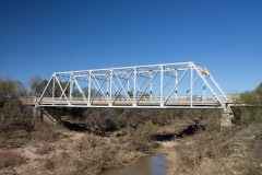 | Hubbard Creek Bridge | structure | 1996 | 96001105 |
 | Shackelford County Courthouse Historic District | district | 1976 | 76002065 |
 | State Highway 23 Bridge at the Clear Fork of the Brazos River | structure | 1996 | 96001106 |
Drawn when these were printed as single large sheets: the town seen from the air, and the county divided into its farms with every owner named. Each opens the original at the Library of Congress.
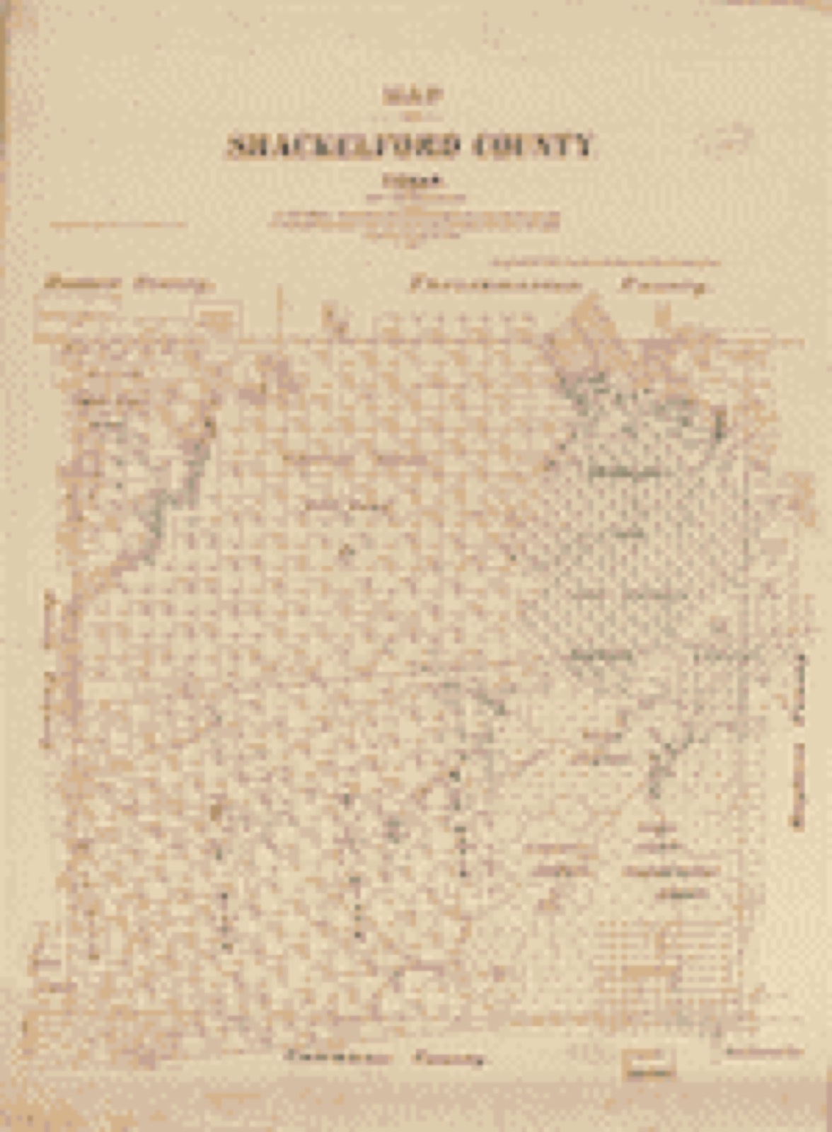
Selected from the Digital Public Library of America's 1 image records catalogued for this county. Every one shown here carries a public-domain status or a licence that permits reuse on a site that carries advertising; non-commercial, share-alike and restricted images are excluded. The selection is spread across the county's towns (at most eight per town), so no single institution's bulk upload crowds out the rest. Each opens the holding library's record, and the complete set at the Digital Public Library of America is one click away.

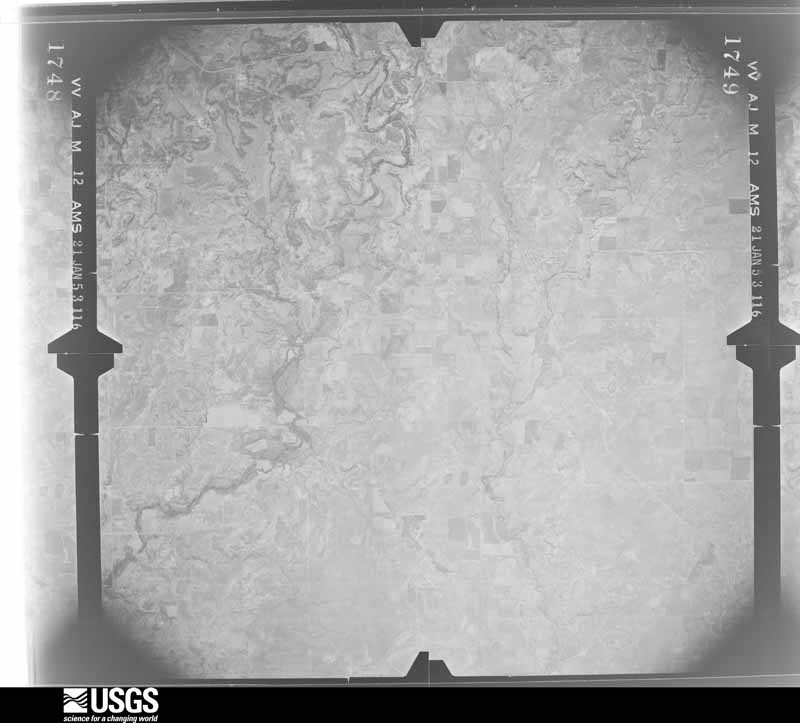
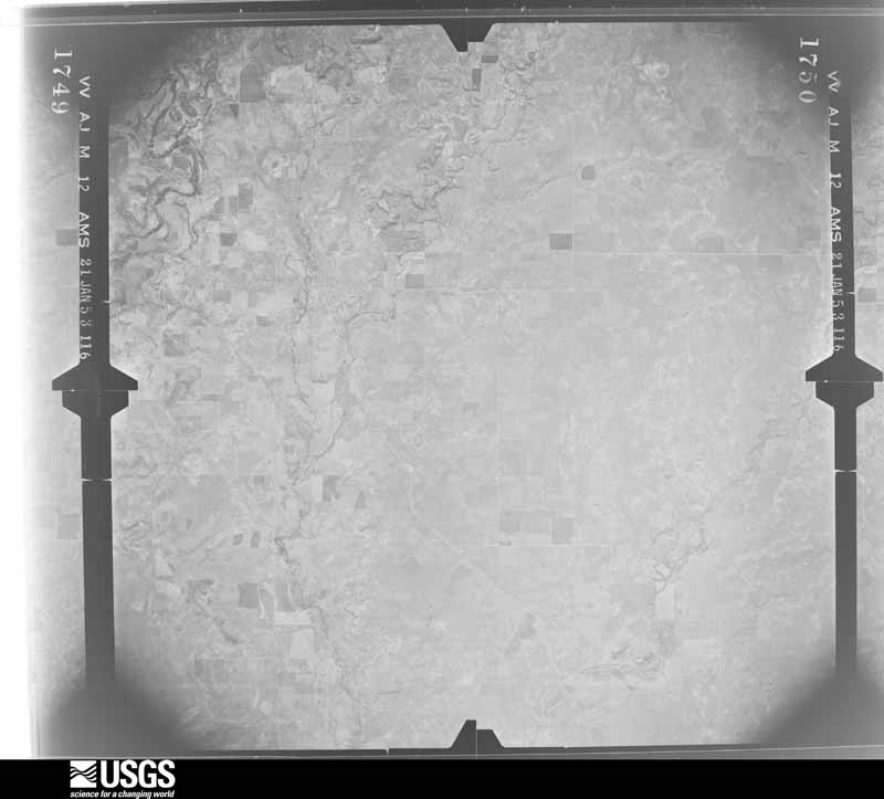
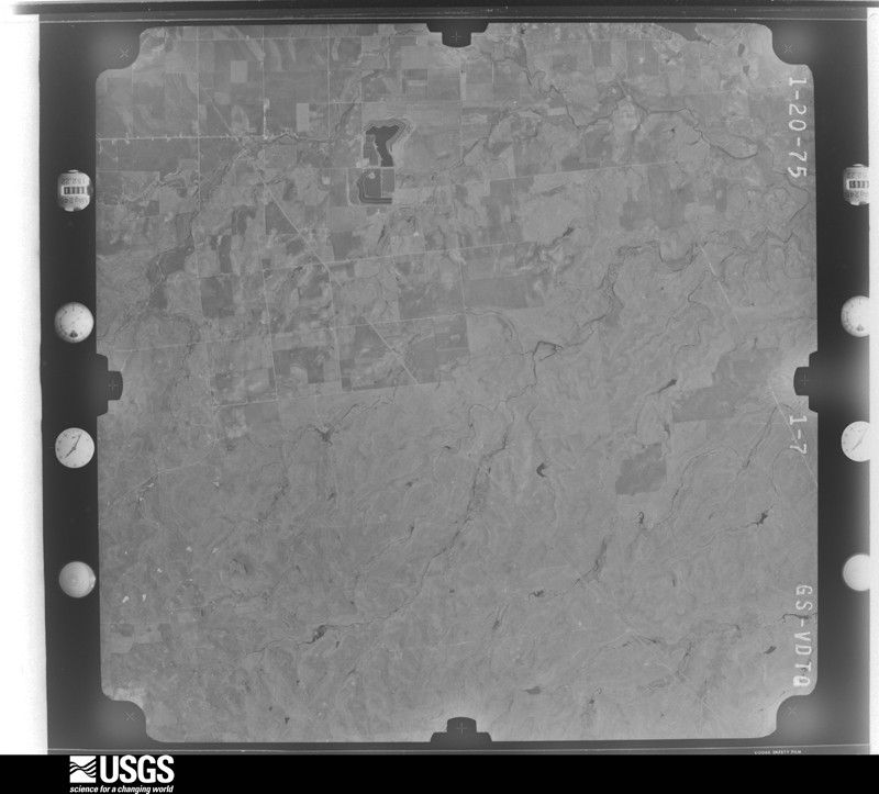
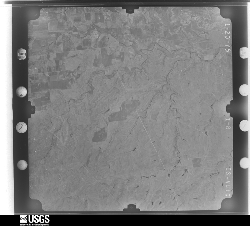
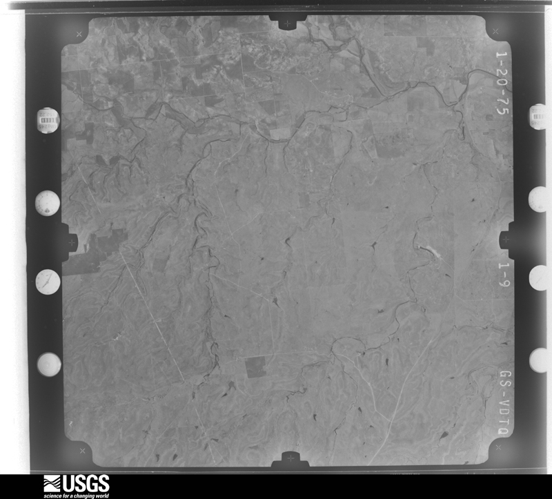
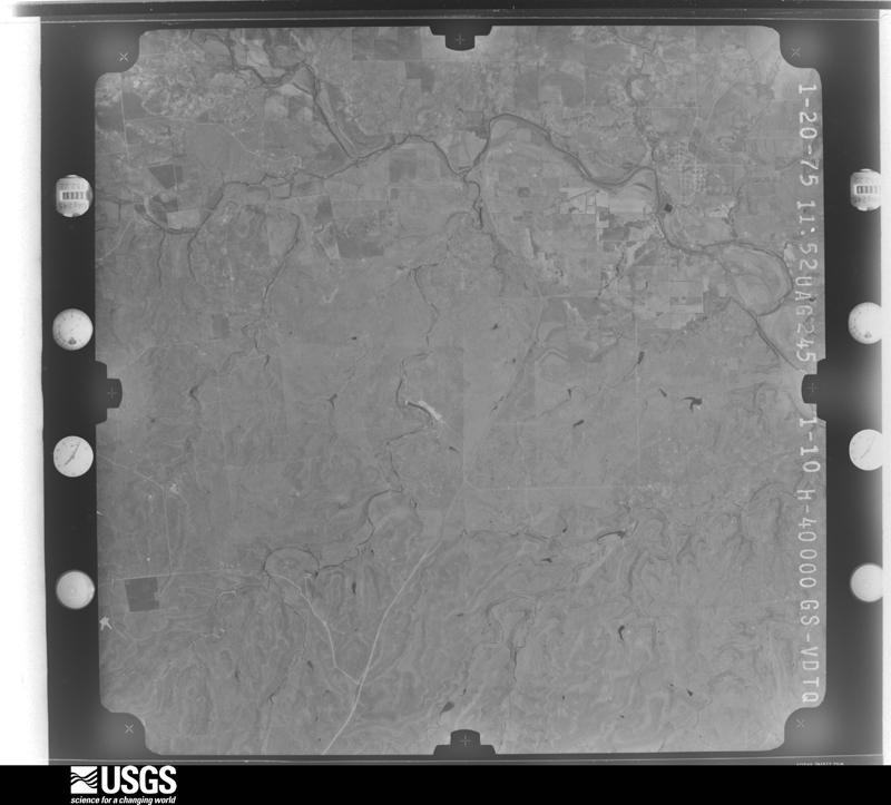
Flown by the U.S. Geological Survey between 1937 and 1989, the Aerial Photo Single Frames collection is the definitive mid-century view of the land: fields, roads and rivers as the camera saw them. The Survey holds 1,068 frames inside the rectangle that bounds this county; the 32 frames below were taken over the county itself, chosen across the decades of flights (at most four a year from that rectangle), so one flight cannot crowd out the rest. The full set is free to browse and download at EarthExplorer under the dataset Aerial Photo Single Frames.
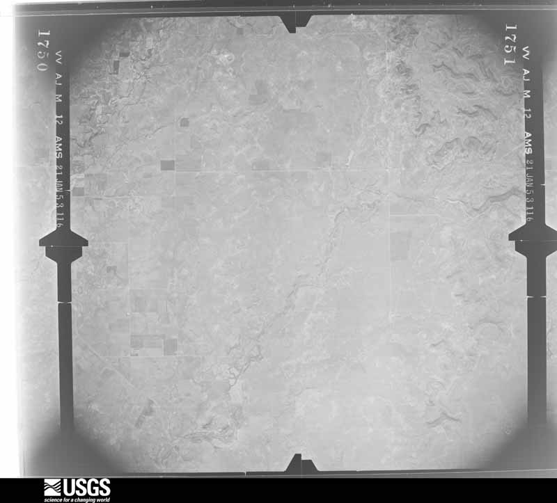
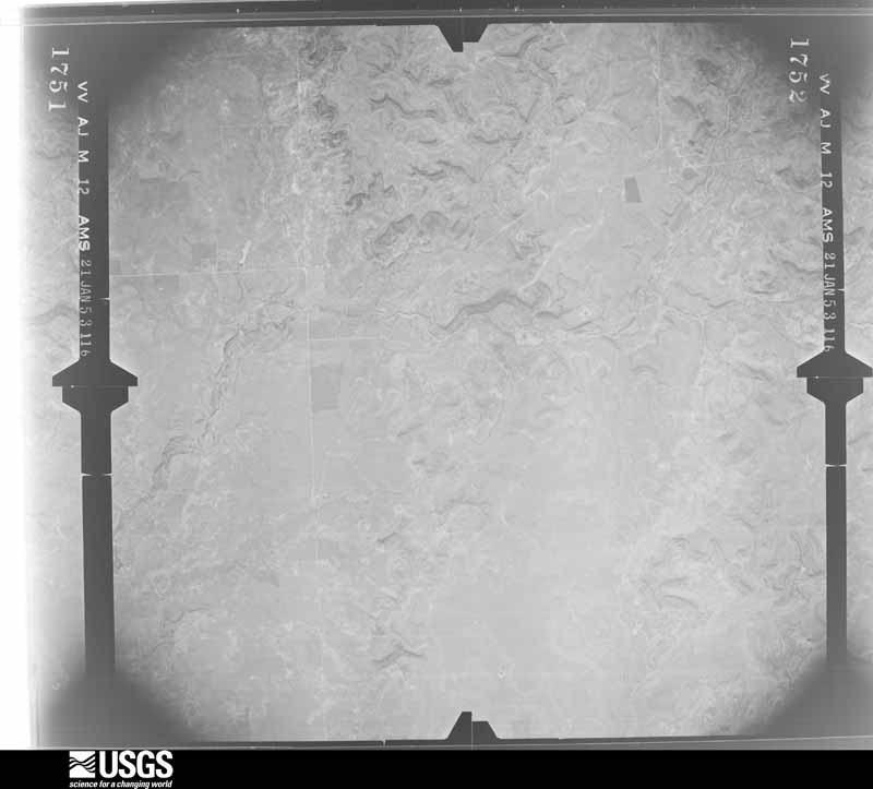
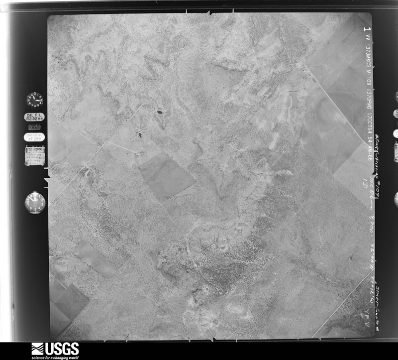


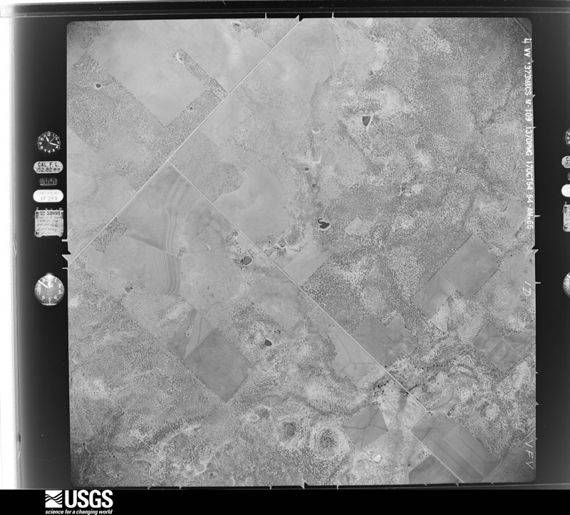

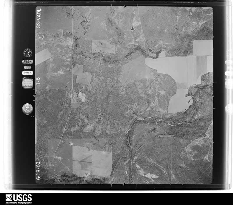




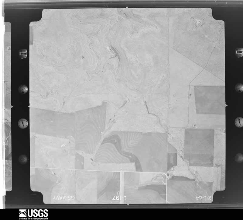
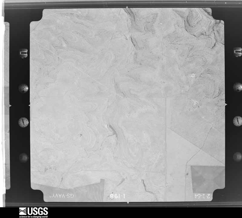
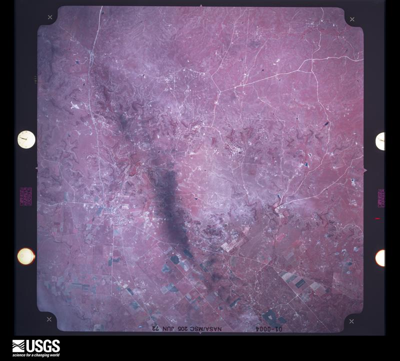







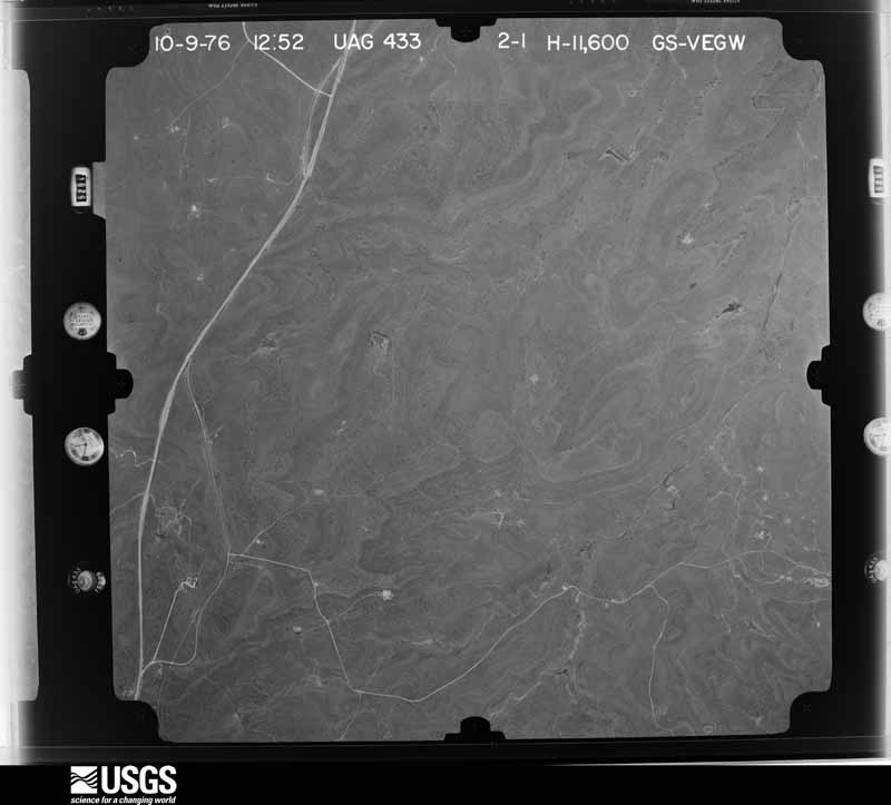
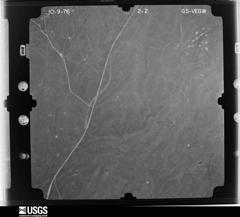
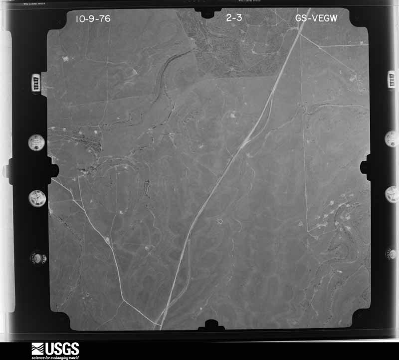
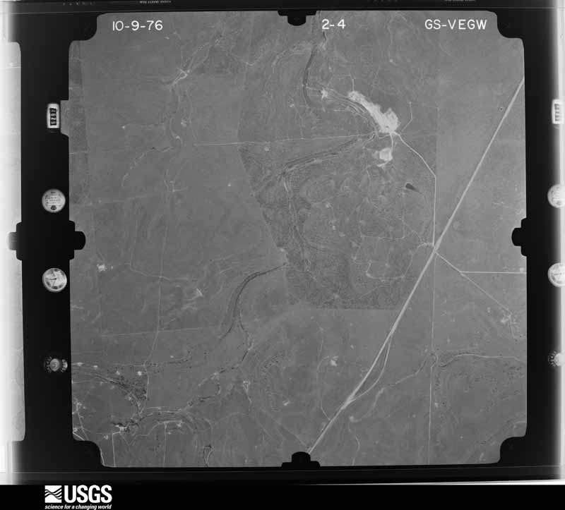
The thermometers that kept this county's weather, and the gages that measured the flow of its streams, as the federal records hold them. The extremes below are measured values from those records, not estimates.
Who lived here in 1950, one enumeration district at a time, as the Census Bureau described each district. Each row opens its official National Archives result, with Population Schedules and ED Maps available there.
Every wildfire the federal occurrence database records inside this county: 383 of them, burning about 89,409 acres. 63 started naturally and 9 were recorded as arson. Each settlement page carries the fires within five miles of it.
| Reported cause | Fires |
|---|---|
| Equipment and vehicle use | 121 |
| Missing data/not specified/undetermined | 112 |
| Natural | 63 |
| Debris and open burning | 41 |
| Power generation/transmission/distribution | 16 |
| Smoking | 14 |
| Arson/incendiarism | 9 |
| Recreation and ceremony | 4 |
| Misuse of fire by a minor | 3 |
The five largest, by the area the report gives. One of them was set deliberately.
| Date | Cause | Size | Reported by | Name on the report |
|---|---|---|---|---|
| 9 April 2009 | Missing data/not specified/undetermined | 16,000 acres | Texas A & M Forest Service | BLACK (PITZER) FIRE |
| 7 August 2003 | Natural | 11,015 acres | Texas A & M Forest Service | ROLLING PLAINS - 7 |
| 9 April 2009 | Power generation/transmission/distribution | 6,500 acres | Texas A & M Forest Service | MACLAMORE |
| 15 July 2011 | Missing data/not specified/undetermined | 4,075 acres | Texas A & M Forest Service | JETER 11 FIRE |
| 26 February 2018 | Missing data/not specified/undetermined | 4,022 acres | Texas A & M Forest Service | NEWELL |
| 30 August 2020 | Natural | 3,971 acres | Texas A & M Forest Service | DEEP CREEK |
| 28 July 2012 | Arson/incendiarism | 3,056 acres | Texas A & M Forest Service | BLUFF CREEK RANCH FIRE |
| 27 August 2020 | Missing data/not specified/undetermined | 2,272 acres | Texas A & M Forest Service | SWAGER CREEK |
Every settlement page carries the fires within five miles of it - see the settlement index below.
The NOAA Storm Events Database holds 262 reports for this county, causing 1 death, no injuries and about $5,198,000 in recorded property damage. Each settlement page carries the reports that name it.
| Kind of event | Reports |
|---|---|
| Hail | 151 |
| Thunderstorm Wind | 69 |
| Tornado | 27 |
| Flash Flood | 9 |
| Flood | 3 |
| Funnel Cloud | 2 |
| Heavy Rain | 1 |
The most serious of them, by death, then injury, then recorded damage. The accounts are quoted exactly as the forecast office filed them.
| When | Event | Place named | Harm | What the report says |
|---|---|---|---|---|
| April 2002 | Flash Flood | Albany | 1 killed, $3,000,000 | Storms remained nearly stationary producing 8 to 12 inches of rain in and around the Albany area. The deluge produced significant flooding in Albany. The hardest hit areas were on the north and west parts of town. The North Hubbard Creek and Gourd Creek came out of their banks. More than 100 homes were damaged or destroyed due to the flood. |
| April 2004 | Hail | Albany | $800,000 | Large hail damaged roofs and cars in Albany. |
| April 2004 | Hail | Albany | $400,000 | Albany was hit again by another hail storm that produced significant damage to homes and businesses. Windows were broken all through the town. |
| May 1961 | Tornado (F3) | not stated | $250,000 | no account filed |
| March 2004 | Tornado (F0) | Moran | $100,000 | This is the same tornado that formed near Clyde and crossed over the county line and went into Shackelford County. |
| April 2004 | Hail | Albany | $100,000 | no account filed |
| September 1996 | Flash Flood | Moran | $100,000 | no account filed |
| September 1996 | Thunderstorm Wind | Albany | $100,000 | no account filed |
| March 2004 | Tornado (F0) | Moran | $50,000 | This was a brief tornado that produced some damage to a home. |
| May 2003 | Tornado (F2) | Moran | $50,000 | Two tornadoes paralleled one another. This tornado was the southern tornado track and destroyed oil storage tanks, oil equipment, a small building, and a couple of recreational vehicles. A trained spotter reported that this tornado was multiple vortex. The survey team noted separate damage areas south and southwest of the main track. |
| October 1993 | Thunderstorm Wind | Albany | $50,000 | Twenty-two power line poles were destroyed by high winds. |
| August 1996 | Thunderstorm Wind | Albany | $50,000 | no account filed |
| April 1995 | Thunderstorm Wind | Albany | $40,000 | Trees were blown down, metal buildings were destroyed, and roofs were damaged by high winds. |
| June 2004 | Hail | Albany | $20,000 | Baseball size hail damages homes and automobiles. |
| June 2006 | Flash Flood | East Portion | $10,000 | Numerous county roads were flooded in eastern portion of the county. |
| June 2004 | Thunderstorm Wind | Albany | $10,000 | Several rounds of strong winds from severe thunderstorms moved through Albany. Numerous reports of power lines and trees downed. The highway department reported several road signs twisted. |
| May 2003 | Tornado (F1) | Albany | $10,000 | This tornado ripped roofs off of barns, destroyed part of a barn, and snapped a few trees. |
| July 2005 | Thunderstorm Wind | Albany | $8,000 | Lots of damage to trees and power lines in Albany. |
| June 2007 | Thunderstorm Wind | Albany | $7,000 | The severe thunderstorm winds in Albany blew shingles off of roofs, and the intense winds also toppled telephone poles. |
| June 2004 | Thunderstorm Wind | Albany | $5,000 | Another severe thunderstorm swept winds of 70 mph across the city of Albany for a third time in about two hours. |
| February 1994 | Thunderstorm Wind | Albany | $5,000 | Strong winds lifted the roof from a storage shed, and caused damage to signs and trees. |
| September 1996 | Thunderstorm Wind | Ft Griffin | $5,000 | no account filed |
| September 1996 | Thunderstorm Wind | Albany | $5,000 | no account filed |
| June 2002 | Thunderstorm Wind | Albany | $4,000 | Power lines were downed as a result of strong thunderstorm winds. |
| June 2002 | Thunderstorm Wind | Albany | $4,000 | Power lines were downed in the city of Albany. |
| May 2003 | Tornado (F2) | Moran | $3,000 | This was the northern tornado track of the two that paralleled one another. This tornado snapped and stripped large trees and ripped up some T post fence along it's path. It seems that the tree damage was more severe on this track. |
| June 2007 | Thunderstorm Wind | Albany | $2,000 | Telephone poles were blown down around Albany. |
| March 2001 | Thunderstorm Wind | Moran | $2,000 | High winds downed a tree in Moran in southern Shackelford County, with the tree falling onto a parked vehicle. These winds also tore part of a roof off of an area barn. |
| June 1998 | Thunderstorm Wind | Albany | $2,000 | Numerous power lines blown down |
| April 1998 | Tornado (F0) | Albany | $2,000 | no account filed |
| May 2021 | Thunderstorm Wind | Ft Griffin | $1,000 | A National Weather Service Cooperative Observer located at Fort Griffin State Park reported a telephone pole was snapped and several large picnic tables and signs at the campgrounds were flipped or blown over. |
| June 2007 | Thunderstorm Wind | Moran | $1,000 | A 65 mph gust produced only minor damage to structures. |
| July 2007 | Flash Flood | Moran | $1,000 | Law enforcement reported significant street flooding in Albany. In addition, Highway 576 to the east of Moran was closed due to flooding. |
| April 2002 | Hail | Albany | $1,000 | Windows broken out of home from the hail. |
| April 2026 | Thunderstorm Wind | Moran | - | A delayed report. Tree damage and roof damage from an apparent microburst in the town of Moran. Time estimated from radar. |
| April 2026 | Tornado (EFU) | Ibex | - | A delayed report: There was a tornadic debris signature form the Dyess weather radar from 11:38 to 11:40 pm. |
| May 2025 | Thunderstorm Wind | Albany | - | The West Texas Mesonet station near Albany measured a wind gust of 62 mph. |
| May 2025 | Tornado (EF2) | Albany | - | A severe thunderstorm moved across eastern portions of Shackelford|County late Sunday afternoon which produced a brief tornado about|6 miles northeast of Albany, Texas, near County Road 109. The|Shackelford County Sheriff sent photos of damage to several|utility poles as well as damage to trees. Time of the tornado |touching down is based on radar. The estimated maximum peak wind |speed was 115 mph. |
| May 2025 | Thunderstorm Wind | Albany | - | A mesonet observation station reported a 58 mph wind gust. |
| May 2025 | Thunderstorm Wind | Sedwick | - | A trained spotter reported numerous tree branches 4 to 6 inches in diameter snapped of trees. |
| June 2025 | Thunderstorm Wind | Ft Griffin | - | Texas Parks and Wildlife reported 5 trees blown down and numerous large branches broken off at the Fort Griffin State Historic Site. |
| June 2025 | Hail | Albany | - | Public report of half dollar sized hail. |
| June 2025 | Flood | Albany | - | A storm chaser reported street flooding in Albany. Time estimated from radar. |
| June 2025 | Thunderstorm Wind | Albany | - | A mesonet observation station reported a 66 mph wind gust. |
| April 2024 | Thunderstorm Wind | Albany | - | The public reported a roof was blown off a house. |
| April 2024 | Thunderstorm Wind | Albany | - | Mesonet observation site reported 88 mph wind gust. |
| March 2023 | Hail | Albany | - | There was a report of golf ball size hail near Albany. |
| June 2023 | Thunderstorm Wind | Albany | - | Mesonet site reported a 58 mph wind gust. |
| June 2023 | Thunderstorm Wind | Albany | - | A West Texas Mesonet observation site recorded a wind gust of 66 mph. |
| May 2022 | Hail | Ft Griffin | - | Law Enforcement reported baseball size hail at Fort Griffin. |
| June 2022 | Thunderstorm Wind | Albany | - | A West Texas Mesonet Station measured a wind gust of 81 mph. |
| May 2021 | Hail | Ft Griffin | - | The time of this hail report was estimated by radar. |
| May 2021 | Flood | Albany | - | Texas Department of Transportation reported water over the roadway along many points on FM 1084 just outside of Albany. |
| May 2021 | Flood | Albany | - | Texas Department of Transportation reported water over the roadway on southbound U.S. Highway 180. |
| July 2021 | Thunderstorm Wind | Albany | - | The public reported broken tree limbs on a residents property. The winds were estimated at 60 mph. The time was estimated using velocity data. |
| March 2020 | Tornado (EFU) | Acampo | - | This tornado began just inside Jones County northeast of Abilene and crossed into southwest Shackelford County. There was a report of debris deposited along the Jones and Shackelford County lines. Radar also showed a debris ball signature in this area. |
| April 2020 | Hail | Ibex | - | A trained spotter reported quarter size hail covering the roadway. |
| June 2019 | Thunderstorm Wind | Albany | - | Law enforcement estimated winds gusting to 60 mph. |
| March 2018 | Hail | Ft Griffin | - | Quarter size hail was reported at the Fort Griffin Historic State site. |
| September 2017 | Thunderstorm Wind | Albany | - | Law enforcement officials reported damaging thunderstorm winds blew tree limbs down and caused some roof damage in Albany. The thunderstorm winds also damaged a door at the courthouse. |
The Survey's mineral resources record lists 2 workings inside this county. All of them still produce. Each settlement page carries the workings within five miles of it.
| Commodity | Workings |
|---|---|
| Limestone, General, Uranium | 1 |
| Limestone, Dimension | 1 |
The least common of them first, because a county's hundredth gravel pit says nothing its first ten did not.
| Where | Site | Commodity | Status | Recorded |
|---|---|---|---|---|
| Featherlite Corp Limestone Oper | Limestone, Dimension | Producer | ||
| Unnamed Pits | Limestone, General, Uranium | Producer | Sedimentary |
Named settlements recorded in the Geographic Names Information System, each with the topographic sheets covering it. Villages, hamlets and abandoned places alike. Each is shown with the nearest named watercourse or landform and the survey quadrangle it falls on.
Albany census division · 76430 · On Collins Creek · Fort Griffin quadrangle
12 sheets, 1892 to 1985