 Block
BlockFrom the record
2 National Register listings published here.
Sources: the National Register database, National Park Service
59 topographic sheets cover 50 settlements here, and 2 properties are on the National Register of Historic Places.
2 National Register listings published here.
Sources: the National Register database, National Park Service
Every property in this county listed on the National Register of Historic Places, with the year it was listed and the federal nomination document.
| Photograph | Property | Type | Listed | Reference |
|---|---|---|---|---|
 | Shelby County Courthouse | building | 1971 | 71001074 |
 | Shelby County Courthouse Square (Boundary Increase) | building | 1990 | 90001819 |
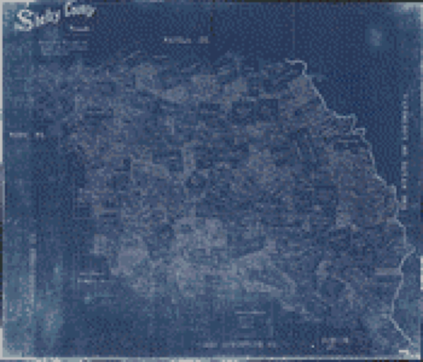
Drawn when these were printed as single large sheets: the town seen from the air, and the county divided into its farms with every owner named. Each opens the original at the Library of Congress.

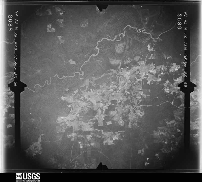
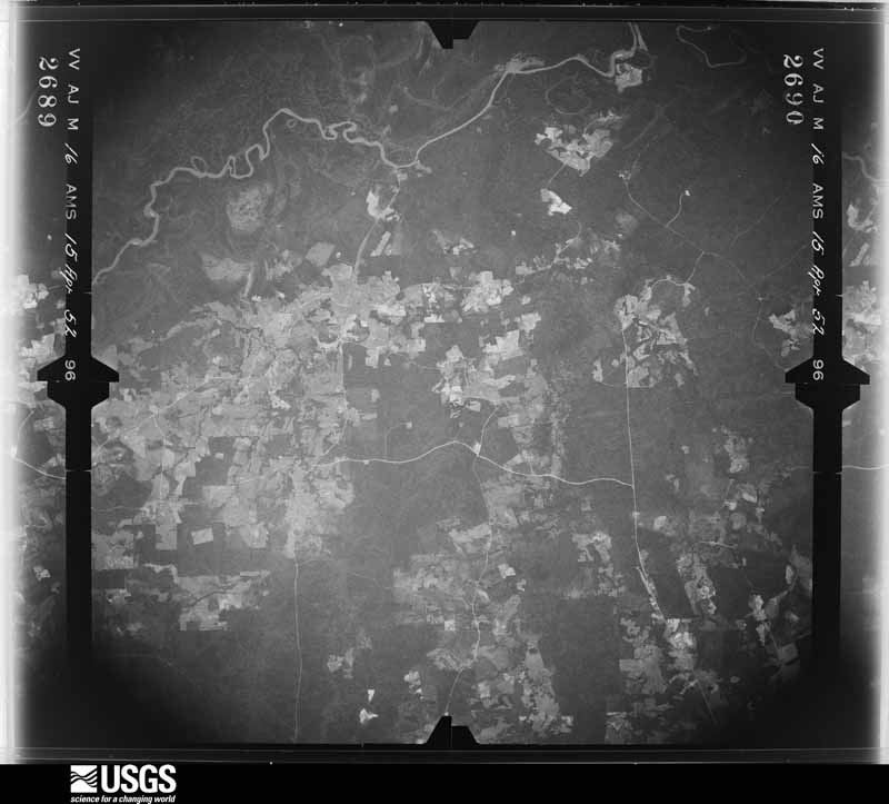
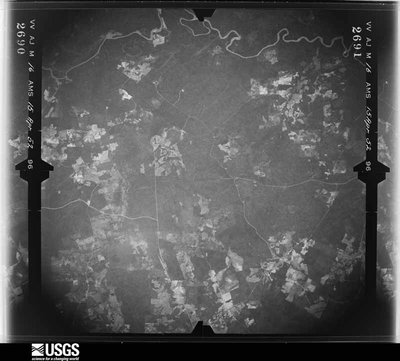
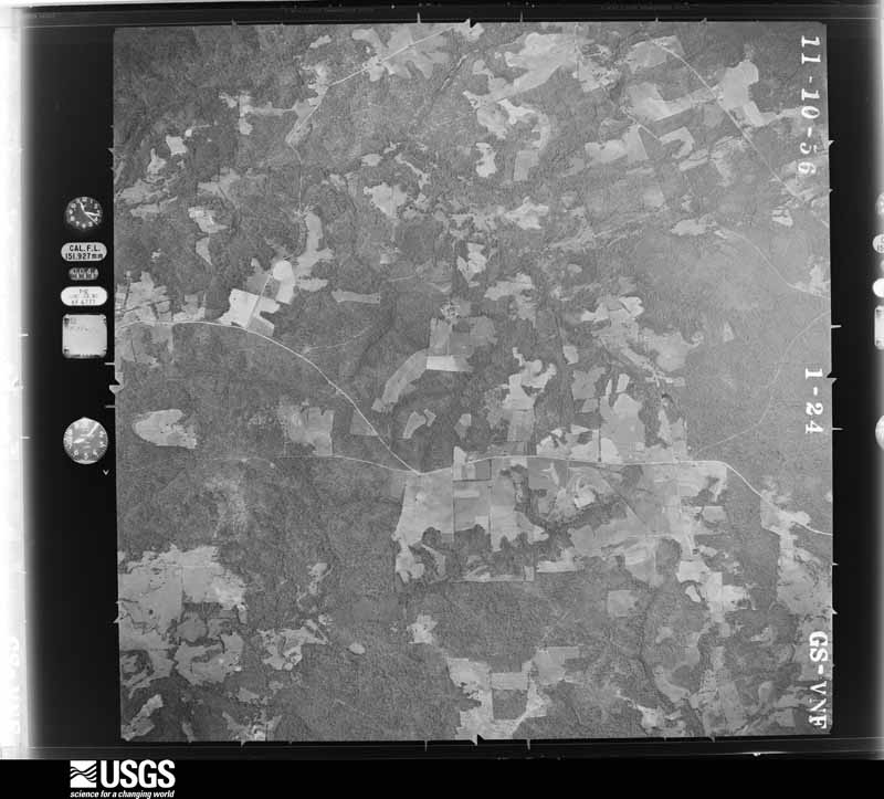
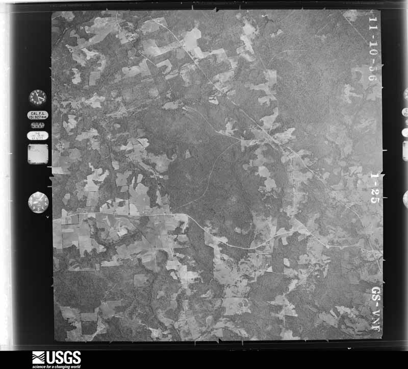
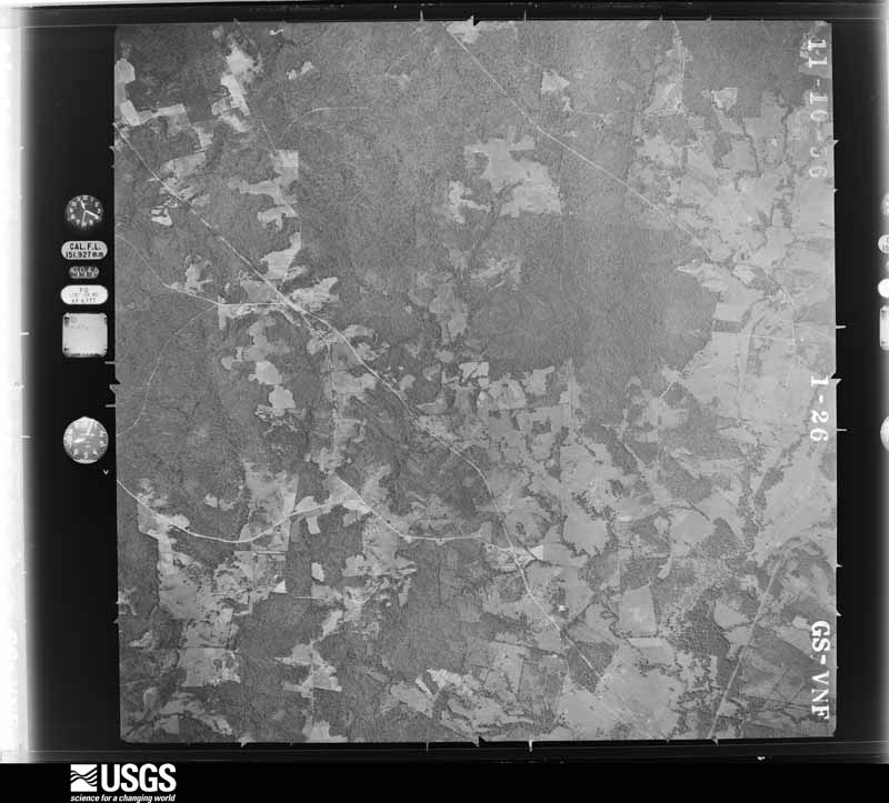
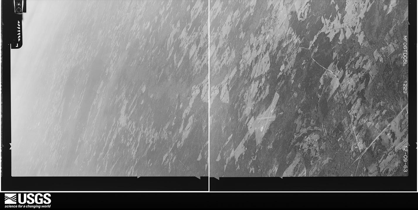
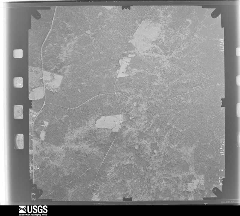
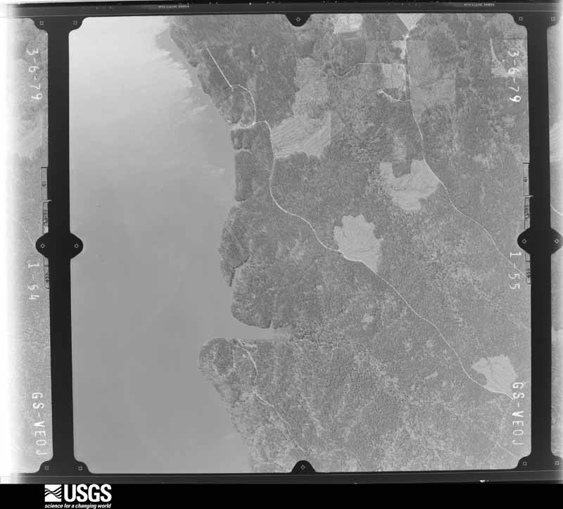
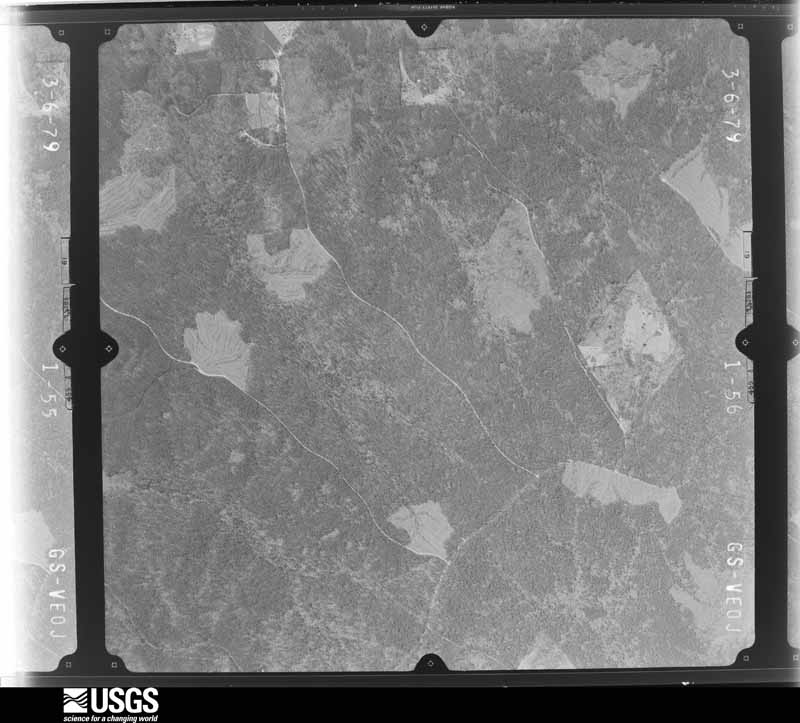
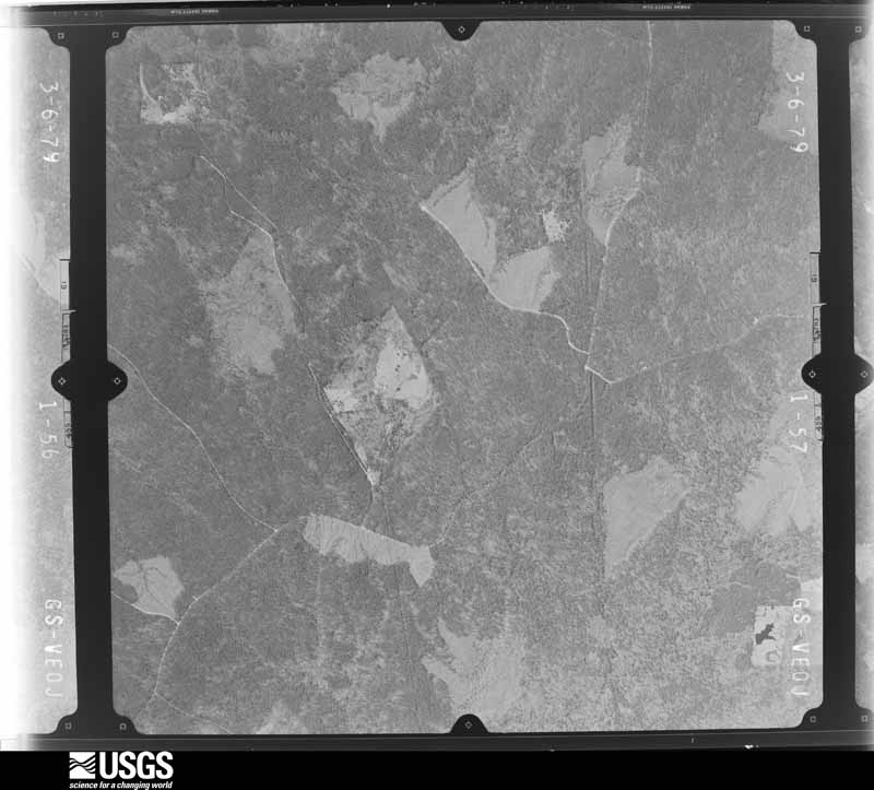
Flown by the U.S. Geological Survey between 1937 and 1989, the Aerial Photo Single Frames collection is the definitive mid-century view of the land: fields, roads and rivers as the camera saw them. The Survey holds 1,549 frames inside the rectangle that bounds this county; the 40 frames below were taken over the county itself, chosen across the decades of flights (at most four a year from that rectangle), so one flight cannot crowd out the rest. The full set is free to browse and download at EarthExplorer under the dataset Aerial Photo Single Frames.
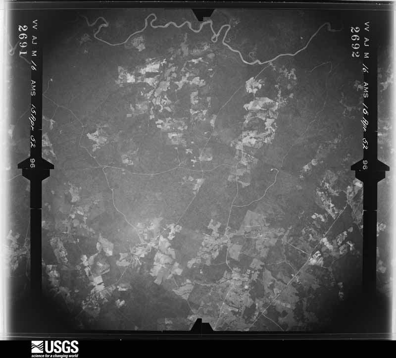
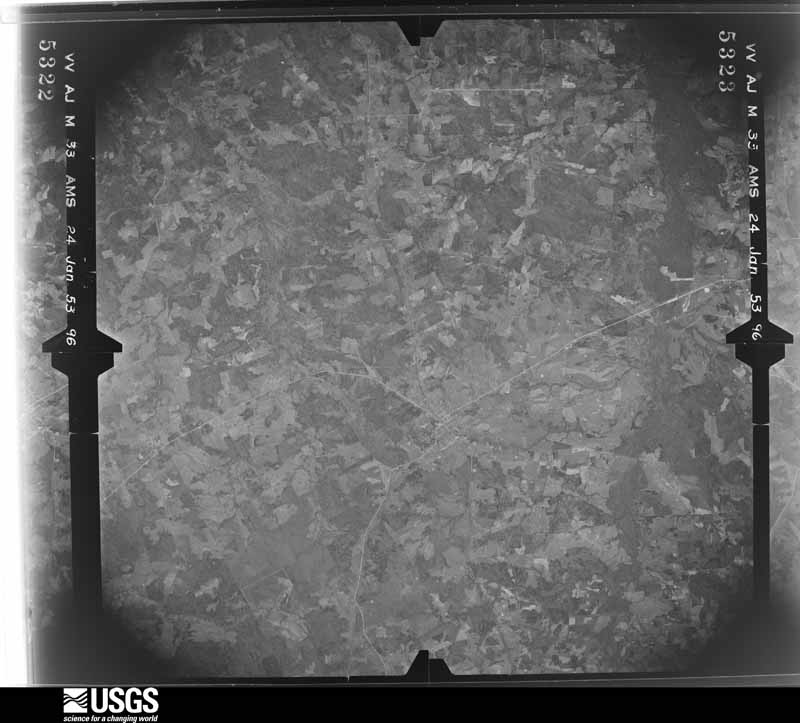
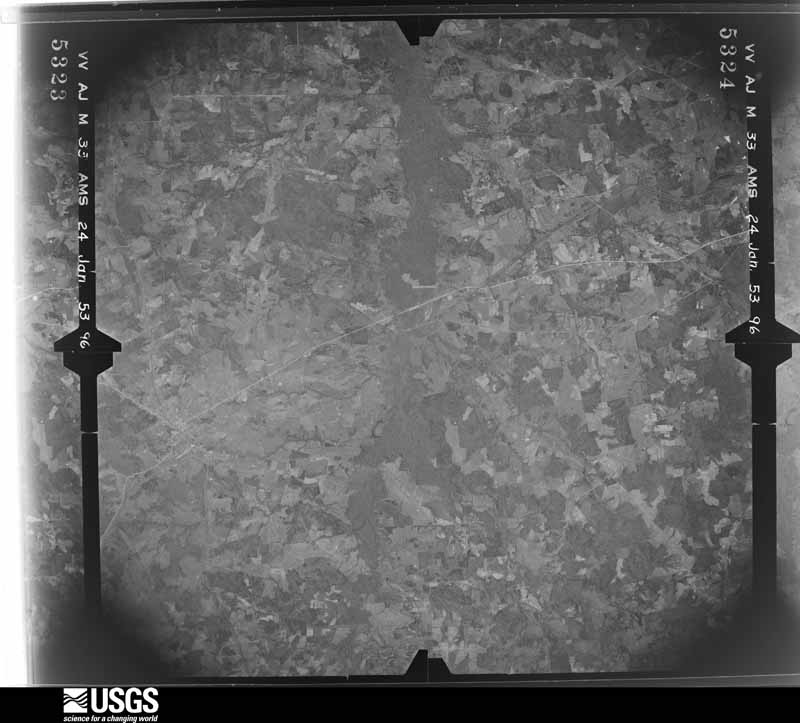


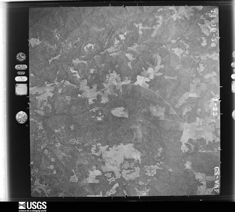

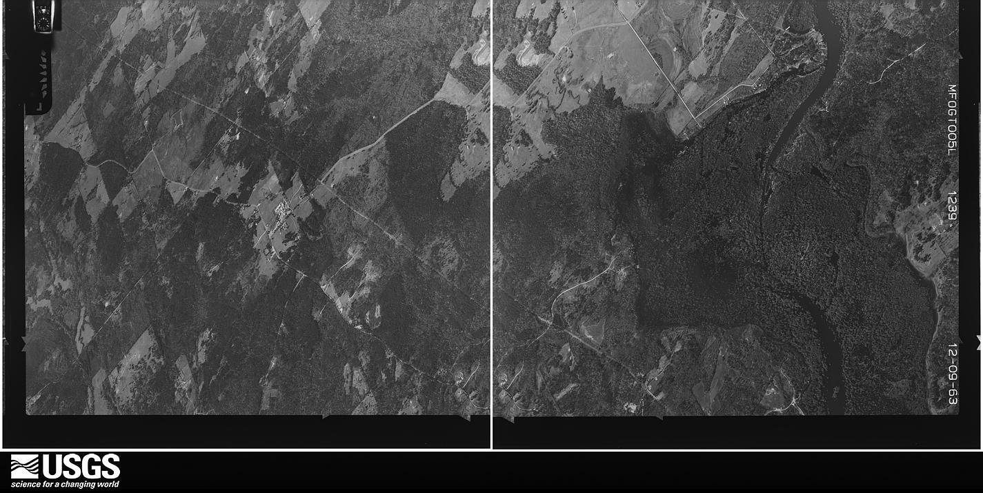

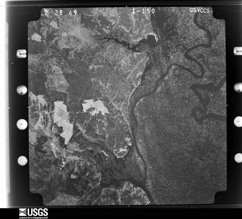
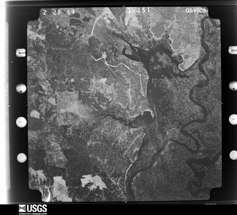
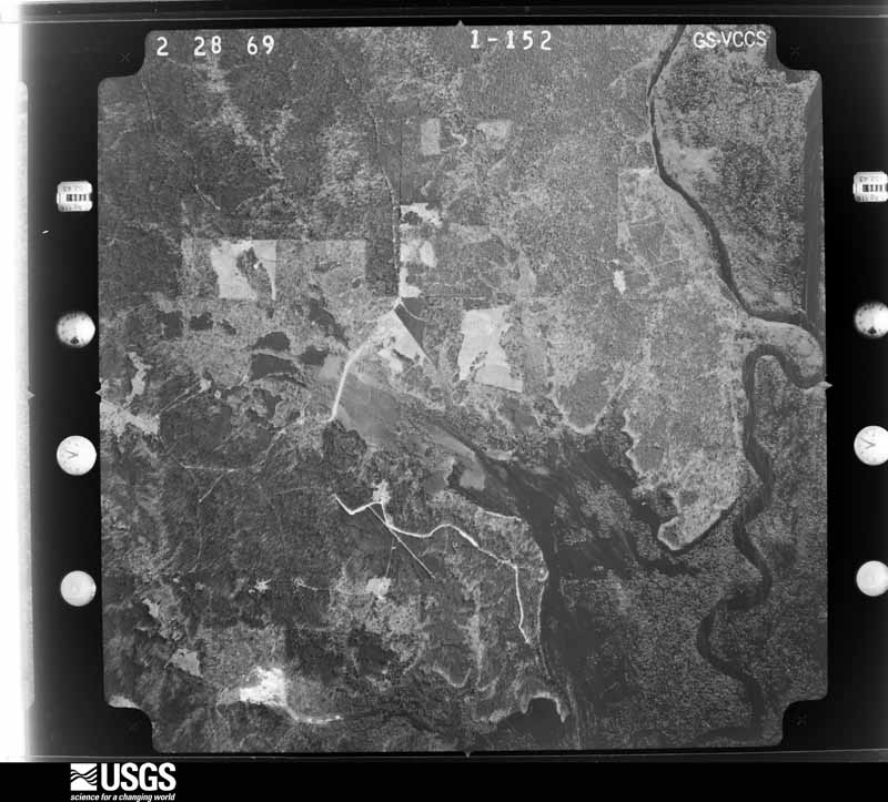
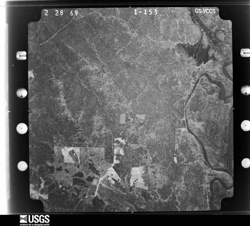


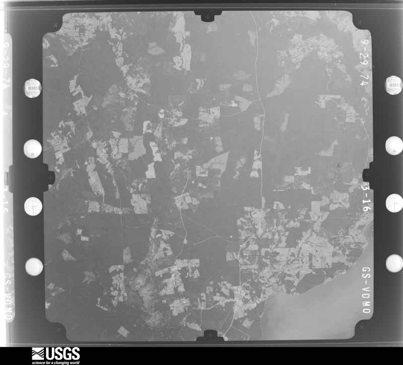
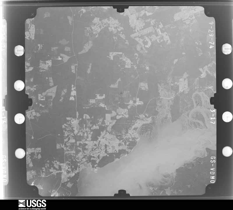
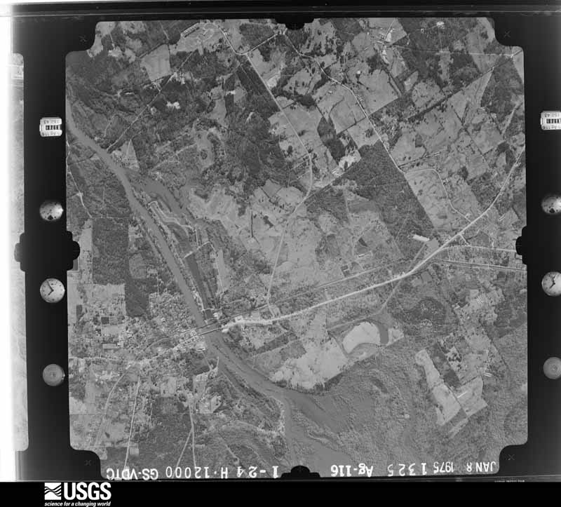
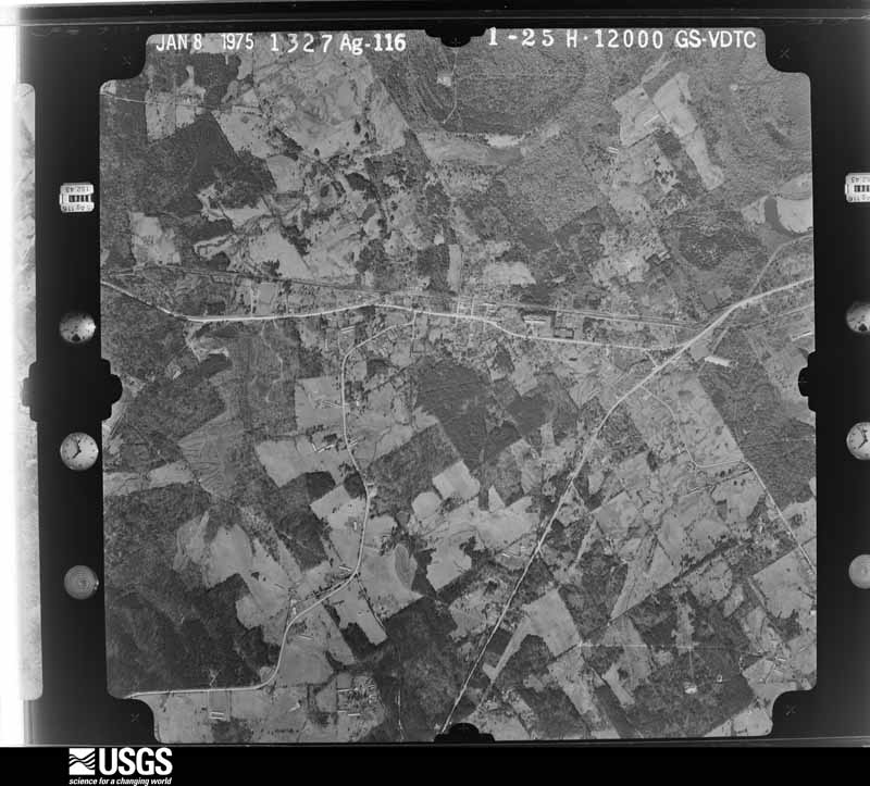
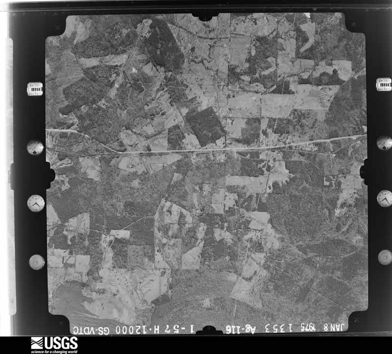
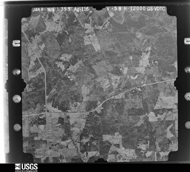
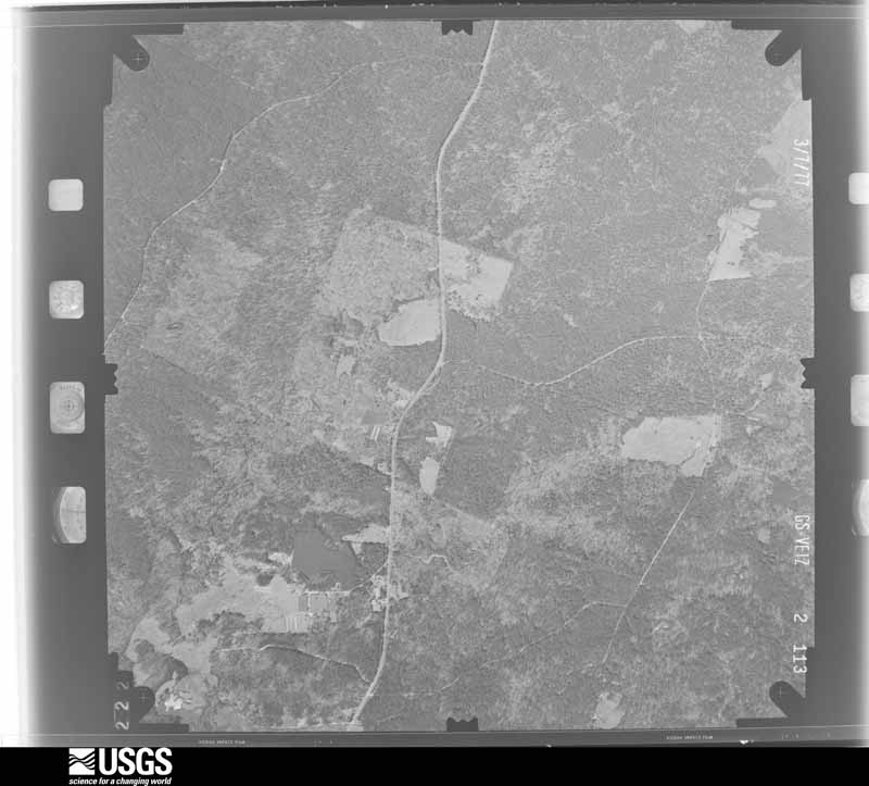







The thermometers that kept this county's weather, and the gages that measured the flow of its streams, as the federal records hold them. The extremes below are measured values from those records, not estimates.
Who lived here in 1950, one enumeration district at a time, as the Census Bureau described each district. Each row opens its official National Archives result, with Population Schedules and ED Maps available there.
Every wildfire the federal occurrence database records inside this county: 547 of them, burning about 6,062 acres. 29 started naturally and 49 were recorded as arson. Each settlement page carries the fires within five miles of it.
| Reported cause | Fires |
|---|---|
| Debris and open burning | 263 |
| Missing data/not specified/undetermined | 96 |
| Arson/incendiarism | 49 |
| Power generation/transmission/distribution | 38 |
| Natural | 29 |
| Equipment and vehicle use | 21 |
| Smoking | 16 |
| Recreation and ceremony | 13 |
| Fireworks | 8 |
| Misuse of fire by a minor | 6 |
| Other causes | 5 |
| Railroad operations and maintenance | 3 |
The five largest, by the area the report gives. Two of them were set deliberately.
| Date | Cause | Size | Reported by | Name on the report |
|---|---|---|---|---|
| 1 August 1998 | Recreation and ceremony | 160 acres | Texas A & M Forest Service | not named |
| 3 September 2000 | Arson/incendiarism | 150 acres | Texas A & M Forest Service | WOODVILLE - 646 |
| 7 June 2011 | Natural | 127 acres | Texas A & M Forest Service | HOLLOW ROCK MOUNTAIN FIRE |
| 1 June 1998 | Arson/incendiarism | 120 acres | Texas A & M Forest Service | not named |
| 14 January 1996 | Debris and open burning | 111 acres | Texas A & M Forest Service | not named |
| 6 November 1999 | Debris and open burning | 100 acres | Texas A & M Forest Service | not named |
| 18 August 2005 | Debris and open burning | 95 acres | National Forests And Grasslands In Texas | KLINE |
| 28 November 2019 | Other causes | 93 acres | National Forests And Grasslands In Texas | 139 FIRE |
Every settlement page carries the fires within five miles of it - see the settlement index below.
The NOAA Storm Events Database holds 498 reports for this county, causing 4 deaths, 74 injuries and about $14,374,780 in recorded property damage. Each settlement page carries the reports that name it.
| Kind of event | Reports |
|---|---|
| Thunderstorm Wind | 224 |
| Hail | 167 |
| Flash Flood | 49 |
| Tornado | 45 |
| Lightning | 10 |
| Flood | 2 |
| Heavy Rain | 1 |
The most serious of them, by death, then injury, then recorded damage. The accounts are quoted exactly as the forecast office filed them.
| When | Event | Place named | Harm | What the report says |
|---|---|---|---|---|
| February 1950 | Tornado (F3) | not stated | 3 killed, 15 hurt, $250,000 | no account filed |
| January 1999 | Flash Flood | Timpson | 1 killed | James Ezra Moore of Timpson, Texas was swept off FM 947 after his truck ran off the road. His body was later found in a flooded creek along FM 947. |
| February 1950 | Tornado (F1) | not stated | 32 hurt, $250,000 | no account filed |
| November 1987 | Tornado (F3) | not stated | 15 hurt, $2,500,000 | no account filed |
| May 1990 | Thunderstorm Wind | not stated | 5 hurt | no account filed |
| January 1973 | Tornado (F2) | not stated | 3 hurt, $250,000 | no account filed |
| January 2020 | Tornado (EF1) | Center | 1 hurt, $500,000 | An EF-1 tornado with estimated maximum winds near 100 mph touched down just west of Highway 7 on the southwest side of Center and continued on an east-northeast path for roughly 6 miles. The tornado cut through a few neighborhoods on the south side of Center, where numerous trees were snapped or uprooted across the path through the town, resulting in roof and structural damage to many homes as trees fell through them. The most extensive damage occurred in the Lakewood subdivision just off of Highway 7, where one minor injury occurred as a fallen pine tree heavily damaged the roof of a home. In addition, a handful of other homes farther east along Ballard Street sustained significant damage from falling trees. There was also damage to homes farther east near Martin Luther King Drive, where a few homes sustained minor structural roof damage due to winds alone. On Loop 500 East on the southeast side of town, there was additional structural damage due to mainly wind, although a few of the damaged homes were likely vacant and already in a heavy state of disrepair before the tornado. It then continued into much more rural areas on the eastern outskirts of Center, resulting in scattered tree and very low-end structural damage until reaching County Road 3047. Here, a majority of the chicken houses had some of their roof paneling removed with a few of the houses having most of the roof paneling torn off along with additional structural damage. It was at this point where the most concentrated damage was found. The tornado then lifted shortly after crossing County Road 3047. |
| August 1980 | Tornado (F1) | not stated | 1 hurt, $25,000 | no account filed |
| May 2015 | Lightning | Timpson | 1 hurt | Apparent lightning strike struck a window at the Timpson High School and struck a student. The student suffered a brief injury but lived. |
| February 1991 | Thunderstorm Wind | not stated | 1 hurt | no account filed |
| February 1998 | Thunderstorm Wind | Tenaha | $8,000,000 | Numerous reports of downed trees and power lines throughout the area. Every customer in the area lost power for several days. Property damage in the region resulted climbed to over 1 million dollars while over 6 million dollars damaged occurred in private timber loss. |
| July 2024 | Tornado (EF1) | Shelbyville | $300,000 | An EF-1 tornado with estimated maximum winds near 110 mph touched down on County Road 2625 about 1.5 miles southeast of Shelbyville, and tracked northwest across CR 2100 and FM 417 where it snapped and uprooted numerous hardwood and softwood trees. The significant damage to trees continued to the north as the tornado tore through the Sardis community, south of FM 414 on County Roads 3051, 3054, and 3057. A number of homes also sustained damage to their roofs from a combination of the estimated 110 mph winds produced by the tornado and trees falling on homes. The tornado continued to track to the northwest, where it produced significant tree damage along CR 3505 and 3046 north of Sardis. The tornado then entered a heavily wood area inaccessible by vehicle, although additional significant tree damage was found southwest of the James community along Highway 7. In addition to the trees, a home also sustained significant roof damage from the tornado along with downed power lines. The tornado continued northwest along CR 3140 just northwest of James, with additional tree damage found along County Roads 3140, 3148, 3156, and 3129 before lifting near Spinney Creek south of the Paxton community. |
| July 2014 | Lightning | Center | $250,000 | The Center Fire Department was dispatched to a house fire at 1134 CR 2230 in Center Texas at 5:30pm. The caller reported lightning struck the house and ignited a fire. Upon arrival on scene, the Center Fire Department reported the flames were in the attic of the home and spreading quickly. The fire department called in the assistance of the Shelbyville Volunteer Fire Department for the need of another tanker truck.|Firefighters fought the blaze as the storm continued to rage and lightning could be seen as well as thunder being heard. Rain poured down but failed to help extinguish any of the fire due to heavy winds blowing and fueling the flames. ||The fire department did lose a ladder to the blaze which was leaned against the end of the house to give crews better access to the attic area. Fire weakened the brick structure and a portion of a brick wall fell causing damage to the ladder. No firefighters were on the ladder when the wall fell. |
| December 2009 | Tornado (EF2) | Meldrum | $250,000 | Several homes and metal outbuildings were damaged closer to the Timpson, Texas area. A travel trailer and barn was completely destroyed. Numerous trees snapped along the path as well. This tornado continued into southern Panola County, Texas. |
| March 1974 | Tornado (F2) | not stated | $250,000 | no account filed |
| January 1973 | Tornado (F1) | not stated | $250,000 | no account filed |
| January 1973 | Tornado (F1) | not stated | $250,000 | no account filed |
| July 2024 | Tornado (EF1) | Timpson | $200,000 | An EF-1 tornado with estimated maximum winds near 110 mph touched down in the town of Timpson, where a business lost nearly half of its roof, and a nearby recreational vehicle was also destroyed. City Hall also sustained damage, and two cars were thrown near the intersection of Highway 59 and 84. Numerous hardwood and softwood trees were also snapped in town, before tracking northwest while remaining just north of Highway 84. Several trees were snapped here, before the tornado lifted just after crossing FM 1970 just north of CR 4843. |
| May 2015 | Thunderstorm Wind | Center | $130,000 | An NWS Storm survey team determined that storm damage on the southwest side of Center, Texas was consistent with that of straight line wind damage. Scattered trees were downed on mainly the west side of town near FM. 138. Five homes suffered moderate to major damage. |
| August 2009 | Thunderstorm Wind | Center | $60,000 | Two trees were downed on a house and car in town and the winds ripped railroad crossing signs down. |
| August 2002 | Lightning | Center | $60,000 | Lightning struck a home causing a fire that did considerable damage to the residence. |
| July 1994 | Thunderstorm Wind | Ragtown | $50,000 | Trees and power lines were blown down in and around Ragtown. |
| June 2008 | Thunderstorm Wind | Center | $40,000 | Several trees were downed throughout the county. A tree was also downed on a law office in town. Most of the damage appeared to be on the east side of Center, Texas. Two large trees fell onto a residents fence in town. Another tree fell on Shelbyville Street. A radio station was also knocked of the air when a large tree fell across power lines on San Augustine Street. |
| August 2000 | Thunderstorm Wind | Center | $38,000 | Roof blown off a home 9 miles west of Center along Hwy 7. Also numerous trees and power lines down. |
| July 2024 | Tornado (EF1) | East Hamilton | $30,000 | This is a continuation of the extreme Northeast Sabine County tornado. This tornado, with estimated maximum winds near 110 mph, moved over the western shoreline of Toledo Bend Reservoir near the East Hamilton community, where a boat ramp and a home were damaged along FM 2261 and CR 2844. Numerous trees were snapped and uprooted, blocking the roadways. The tornado then tracked well east of CR 2799 through some private roads that were inaccessible. Drone footage from a local oil/gas worker confirmed that the tornado remained on the ground through this area, as a swath of snapped and uprooted trees continued. Additional tree damage was found along FS Road 148 and FS 135, where a small camp also suffered significant damage to some of the smaller buildings. The tornado then crossed FS Road 141 near CR 2014, where multiple large trees were downed, blocking the road along FS Road 141, before lifting just to the north. |
| August 2002 | Lightning | Joaquin | $30,000 | Lightning struck a residence in town causing considerable damage. |
| February 2026 | Tornado (EF1) | James | $25,000 | This brief EF-1 tornado with estimated maximum winds near 95 mph began along County Road 3156, where a few trees were downed, and then it traveled southeast to cross Highway 7 where it intersected with County Road 3153. Most of the damage here was also to trees with a consolidated area of snapped softwood trees giving the tornado its estimated maximum windspeed rating. The tornado then continued to the southeast and was judged to have ended just after crossing County Road 3215. One outbuilding was destroyed at this location, but otherwise the survey team could verify only minor damage done to a few buildings here and earlier when the tornado crossed Highway 7. Localized snapping of tree trunks was also quite evident around a pond just to the west of County Road 3215. |
| May 2017 | Tornado (EF1) | Timpson | $25,000 | The is a continuation of the Nacogdoches and Rusk County tornado that initially touched down just southwest of Garrison. This tornado had weakened into an EF-1 tornado with maximum estimated winds of 90-95 mph as it entered Northwest Shelby County along Highway 59. At least one outbuilding was heavily damaged as the roof and one wall were torn off, and numerous trees were snapped or uprooted. The tornado finally lifted just beyond County Road 4759 northwest of Highway 59. |
| October 1984 | Tornado (F1) | not stated | $25,000 | no account filed |
| April 1980 | Tornado (F1) | not stated | $25,000 | no account filed |
| April 1980 | Tornado (F1) | not stated | $25,000 | no account filed |
| April 1964 | Tornado (F2) | not stated | $25,000 | no account filed |
| April 1964 | Tornado (F0) | not stated | $25,000 | no account filed |
| April 1964 | Tornado (F0) | not stated | $25,000 | no account filed |
| September 1963 | Tornado (F1) | not stated | $25,000 | no account filed |
| April 1999 | Tornado (F2) | Joaquin | $15,000 | Minor roof damage to a few homes and outbuildings. Damage largely confined to trees uprooted or snapped. This is a continuation of the DeSoto Parish, Louisiana tornado. |
| March 1999 | Tornado (F2) | Grigsby | $15,000 | This was a segment of a tornado which traversed Nacogdoches and San Augustine Counties. Damage was mainly forestry however a large did crushed a mobile home with moderate damage. |
| March 2002 | Lightning | Center | $15,000 | no account filed |
| June 1996 | Lightning | Newville | $12,000 | no account filed |
| May 2019 | Tornado (EF1) | Pauls Store | $10,000 | An EF-1 tornado with maximum estimated winds between 90-95 mph touched down in a pasture just south of County Road 3376, snapping and uprooting numerous trees and damaging a small farm outbuilding. The tornado continued northeast and snapped several more trees near a home but did not damage the home. The tornado then crossed County Road 3376 snapping and uprooting more trees before causing some minor roof damage to a chicken house on Farm to Market Road 139, lifting just northeast of the roadway. |
| August 2005 | Thunderstorm Wind | Joaquin | $10,000 | Trees downed in town...including one that fell on a house. |
| June 2005 | Thunderstorm Wind | Joaquin | $10,000 | Trees were downed including one that fell atop a home southwest of town. |
| February 1998 | Thunderstorm Wind | Center | $10,000 | Winds blew out windows of local businesses while trees and powerlines fell leading to numerous blackouts throughout the area. |
| June 2004 | Thunderstorm Wind | Timpson | $5,000 | Thunderstorm winds blew down a large metal storage building. |
| July 1995 | Thunderstorm Wind | Shelbyville | $5,000 | Trees and power lines were blown down and the back porch was blown off a house. |
| September 1994 | Thunderstorm Wind | Shelbyville | $5,000 | Trees were blown down by high winds. |
| November 1994 | Thunderstorm Wind | Paxton | $5,000 | Trees were blown down by high winds., |
| November 1994 | Thunderstorm Wind | Tenaha | $5,000 | Trees were blown down by high winds. |
| November 1994 | Thunderstorm Wind | Timpson | $5,000 | A barn was damaged and some trees were blown down by high winds. |
| September 1994 | Thunderstorm Wind | Center | $5,000 | Trees were blown down by high winds. |
| June 1994 | Thunderstorm Wind | Stockman | $5,000 | Several trees blown down by thunderstorm winds. |
| July 1994 | Thunderstorm Wind | Huxley | $5,000 | Several trees were blown down in and around Huxley. |
| July 1994 | Thunderstorm Wind | Stockman | $5,000 | Trees were blown down by thunderstorm winds. |
| April 1994 | Thunderstorm Wind | Center | $5,000 | Trees were blown down by thunderstorm winds. |
| May 1994 | Thunderstorm Wind | Huxley Bay | $5,000 | Trees were blown down by thunderstorm winds, blocking a rural road. |
| May 1994 | Thunderstorm Wind | Shelbyville | $5,000 | Trees were blown down and minor damage was done to a chicken barn. |
| May 1994 | Thunderstorm Wind | Ragtown | $5,000 | Thunderstorm winds blew down trees along the shore of Toledo Bend Reservoir. |
| March 1993 | Hail | Tenaha | $5,000 | Hail damaged roofs and several cars. Windshields were broken out of a few. |
| August 2012 | Thunderstorm Wind | Timpson | $3,000 | Trees were downed and a metal roof was blown off a shed near Hwy. 87. |
| January 1965 | Tornado (F2) | not stated | $2,500 | no account filed |
Named settlements recorded in the Geographic Names Information System, each with the topographic sheets covering it. Villages, hamlets and abandoned places alike. Each is shown with the nearest named watercourse or landform and the survey quadrangle it falls on.
Shelbyville census division · 75973 · On Indian Creek · Patroon South quadrangle
14 sheets, 1944 to 2003
Center census division · 75935 · On Wolf Creek · Shelbyville quadrangle
13 sheets, 1953 to 2003
Timpson census division · 75935 · On Pounds Creek · Arcadia quadrangle
11 sheets, 1953 to 1992
Tenaha-Joaquin census division · 75974 · On Ramsey Creek · Tenaha West quadrangle
11 sheets, 1953 to 1992
Aiken-Neuville census division · 75935 · On Woodfin Branch · Neuville quadrangle
11 sheets, 1953 to 1992
Center census division · 75935 · On Cooney Creek · Shelbyville quadrangle
13 sheets, 1953 to 2003
Aiken-Neuville census division · 75935 · On Bailey Branch · Neuville quadrangle
11 sheets, 1953 to 1992
Shelbyville census division · 75973 · On Martinez Bayou · East Hamilton quadrangle
14 sheets, 1944 to 2003
Shelbyville census division · 75935 · On Grubb Creek · Hurstown quadrangle
12 sheets, 1953 to 2003
Shelbyville census division · 75935 · On Grubb Creek · Hurstown quadrangle
12 sheets, 1953 to 2003
Tenaha-Joaquin census division · 75954 · Logansport West quadrangle
13 sheets, 1953 to 2003
Center census division · 75974 · On Smith Creek · Tenaha East quadrangle
12 sheets, 1953 to 1992
Aiken-Neuville census division · 75935 · On West Creek · Martinsville quadrangle
11 sheets, 1953 to 1992
Shelbyville census division · 75972 · San Augustine East quadrangle
12 sheets, 1953 to 2003
Shelbyville census division · 75973 · On Brawley Creek · Huxley quadrangle
13 sheets, 1944 to 2003
Tenaha-Joaquin census division · 75954 · On Cedar Branch · Logansport West quadrangle
13 sheets, 1953 to 2003
Shelbyville census division · 75973 · On Tucker Branch · Patroon North quadrangle
14 sheets, 1944 to 2003
Shelbyville census division · 75935 · On Sandy Branch · Hurstown quadrangle
12 sheets, 1953 to 2003
Tenaha-Joaquin census division · 75974 · On Ramsey Creek · Tenaha West quadrangle
11 sheets, 1953 to 1992
Aiken-Neuville census division · 75935 · Mount Herman quadrangle
11 sheets, 1953 to 1992
Aiken-Neuville census division · 75935 · On Dry Branch · Neuville quadrangle
11 sheets, 1953 to 1992
Shelbyville census division · 75973 · On Lick Branch · Patroon North quadrangle
14 sheets, 1944 to 2003
Shelbyville census division · 75973 · On Lick Branch · Patroon North quadrangle
14 sheets, 1944 to 2003
Center census division · 75935 · On Smith Creek · Center quadrangle
12 sheets, 1953 to 1992
Shelbyville census division · 75973 · On Lick Creek · Patroon South quadrangle
14 sheets, 1944 to 2003
Center census division · 75935 · On Carlyle Branch · Shelbyville quadrangle
13 sheets, 1953 to 2003
Shelbyville census division · 75973 · On Prairie Creek · Shelbyville quadrangle
13 sheets, 1953 to 2003
Timpson census division · 75975 · Near Bennett Mountain · Garrison East quadrangle
11 sheets, 1953 to 1992
Timpson census division · 75975 · On Bear Bayou · Garrison East quadrangle
11 sheets, 1953 to 1992
Timpson census division · 75935 · On Sandy Creek · Martinsville quadrangle
11 sheets, 1953 to 1992
Shelbyville census division · 75973 · Patroon North quadrangle
14 sheets, 1944 to 2003
No longer a settlement
The vanished settlements of Shelby County: the places named above that are no longer on the map.