 Block
BlockFrom the record
1 National Register listing published here.
Sources: the National Register database, National Park Service
16 topographic sheets cover 3 settlements here, and 1 property is on the National Register of Historic Places.
1 National Register listing published here.
Sources: the National Register database, National Park Service
Every property in this county listed on the National Register of Historic Places, with the year it was listed and the federal nomination document.
| Photograph | Property | Type | Listed | Reference |
|---|---|---|---|---|
 | Sterling City Gulf, Colorado & Santa Fe Railway Passenger Depot | building | 2020 | 100005690 |
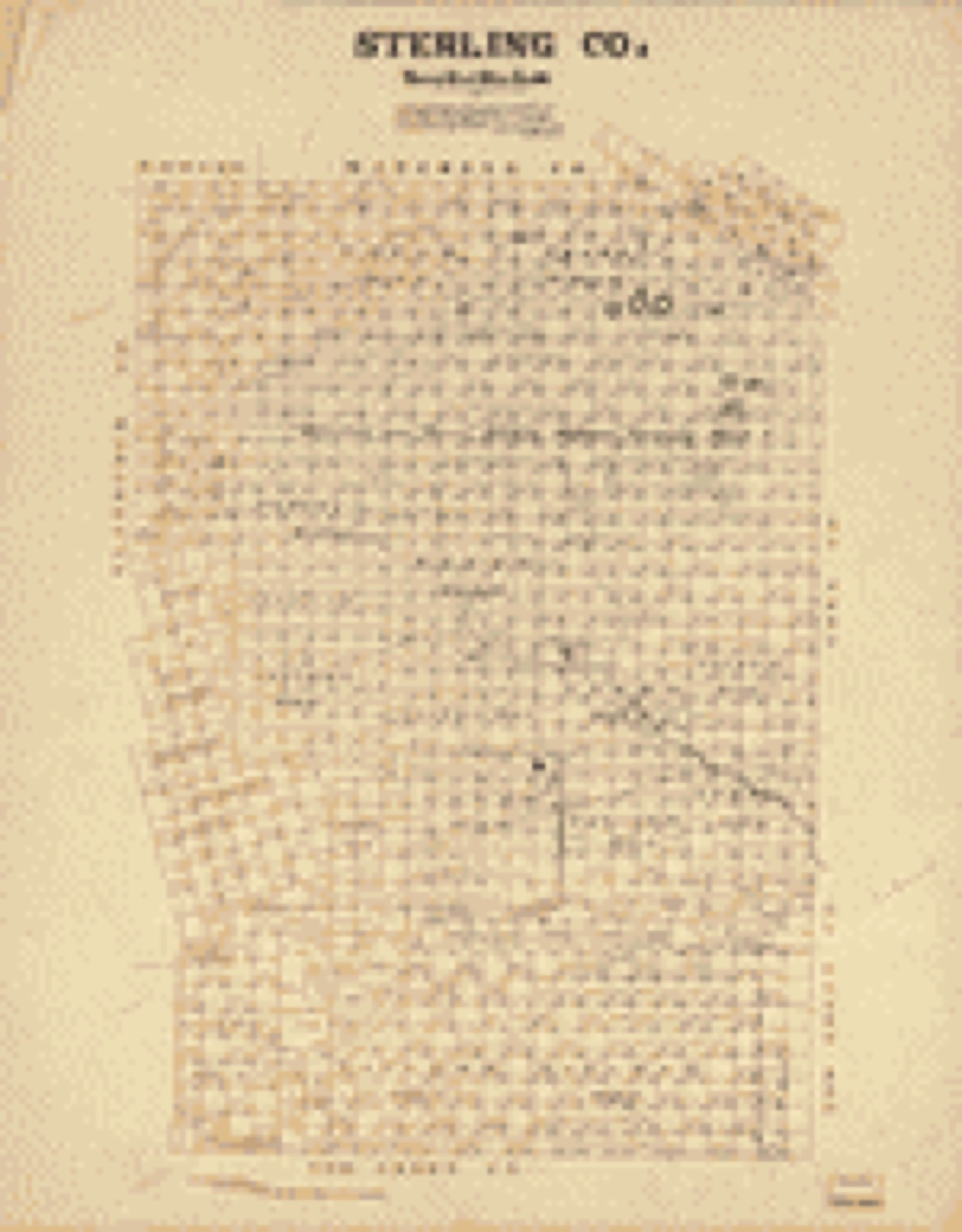
Drawn when these were printed as single large sheets: the town seen from the air, and the county divided into its farms with every owner named. Each opens the original at the Library of Congress.
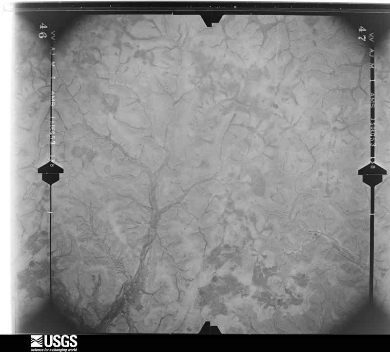
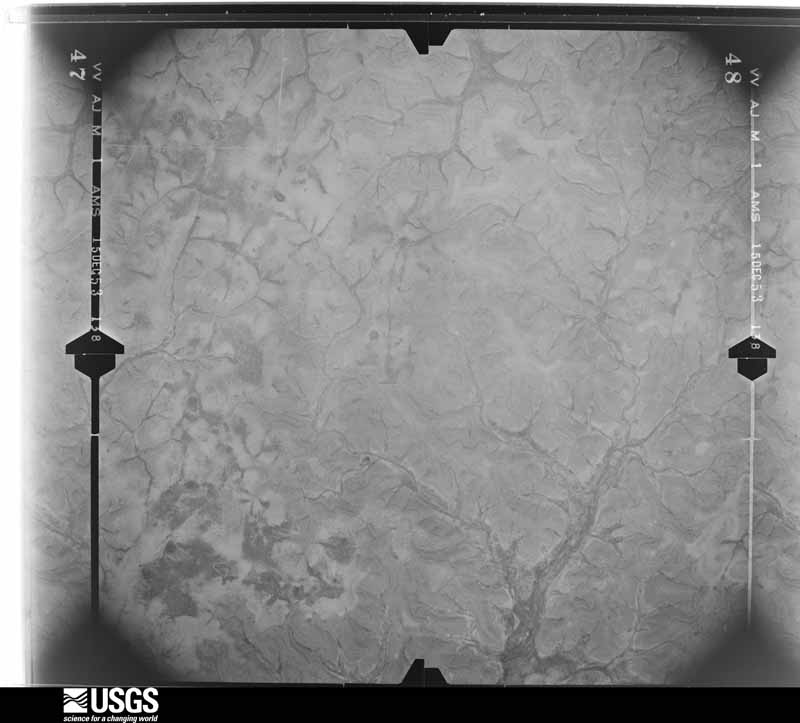
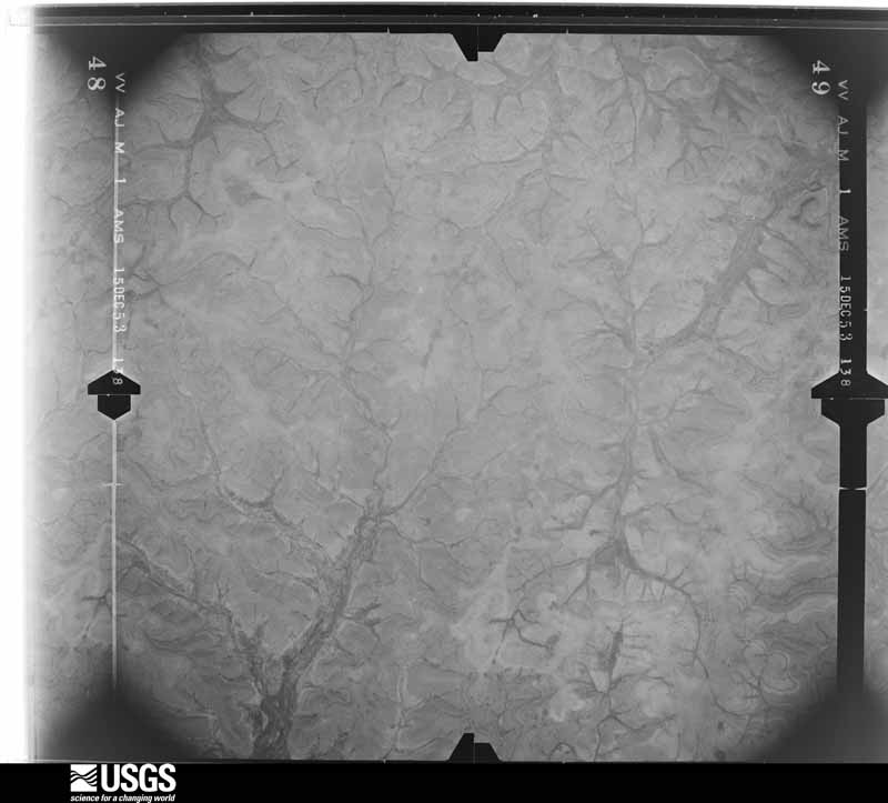
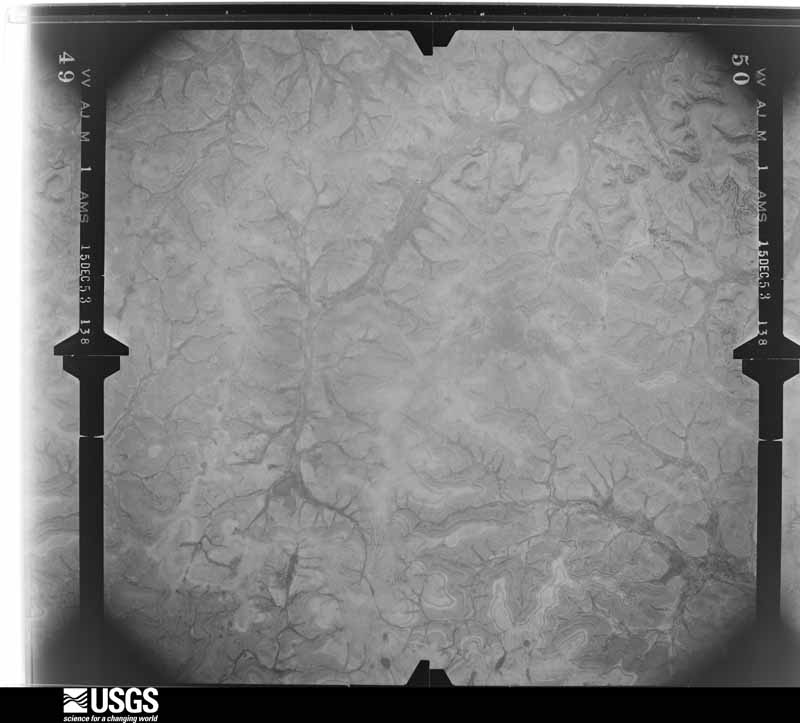
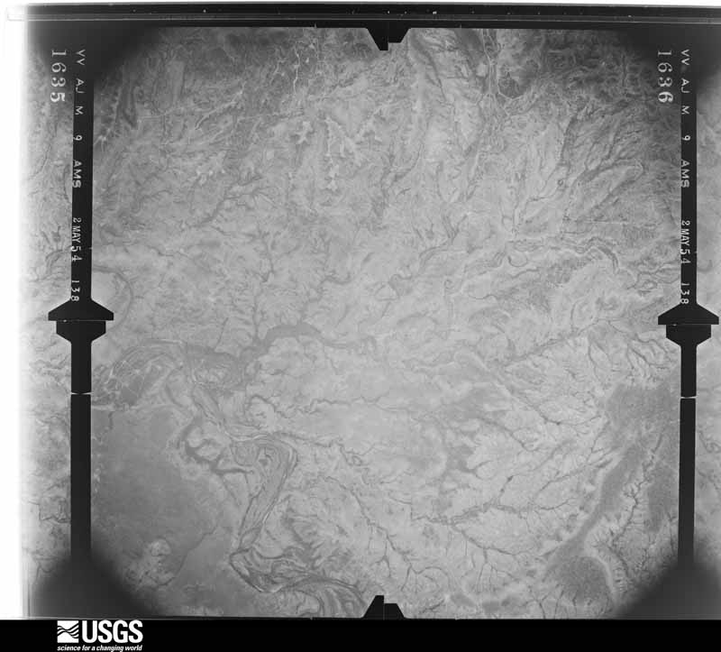
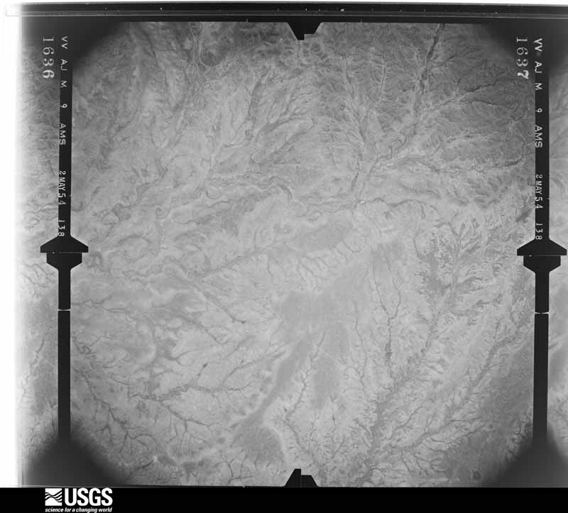
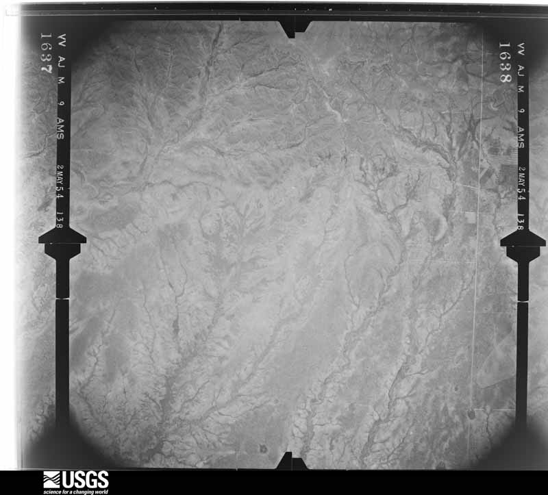
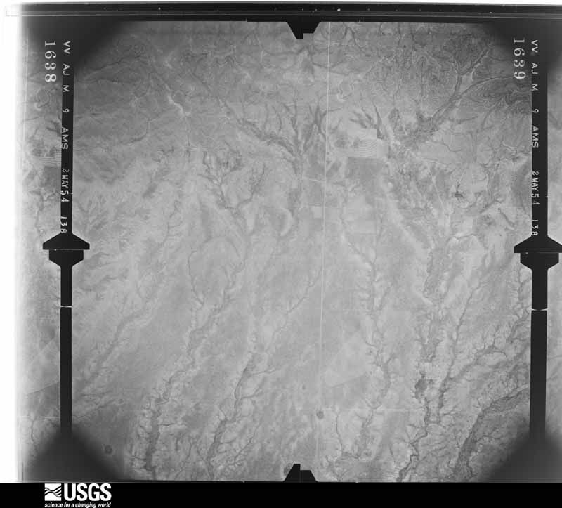
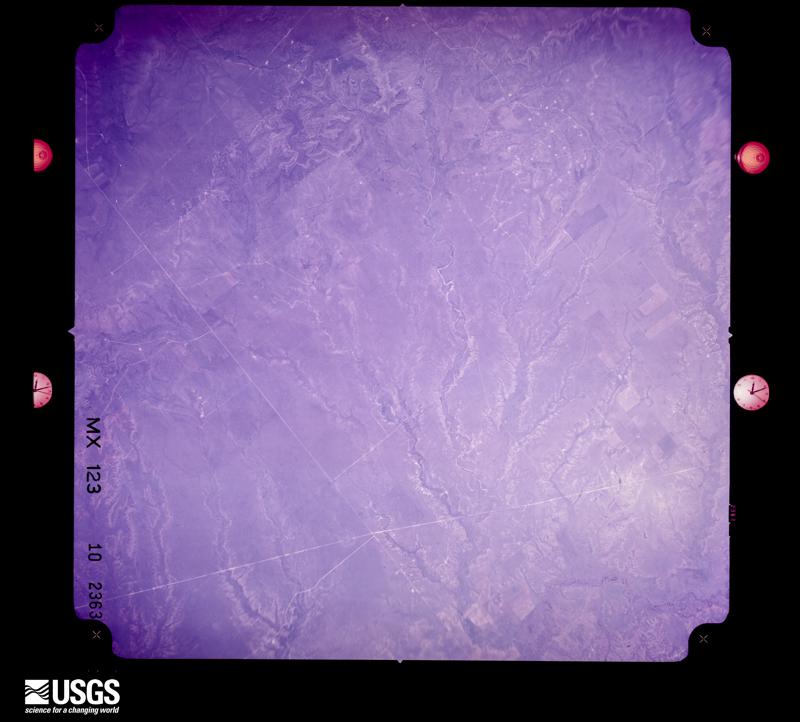
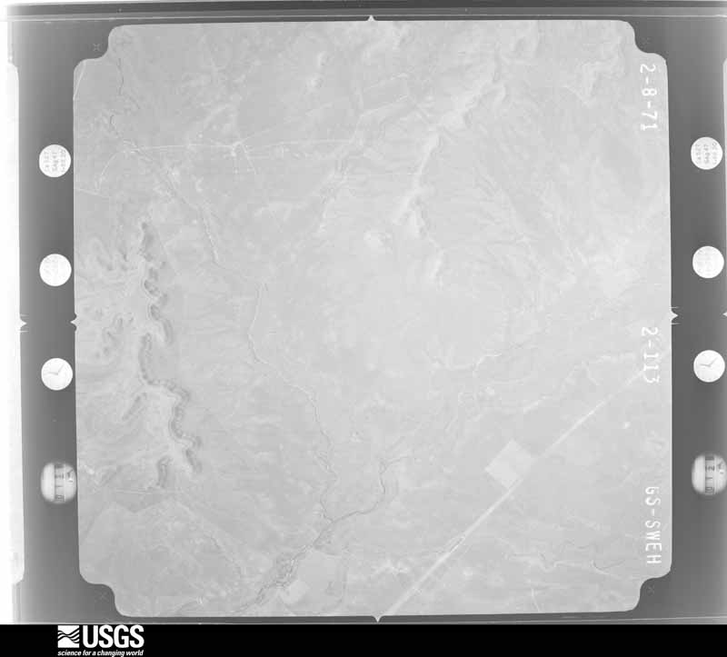
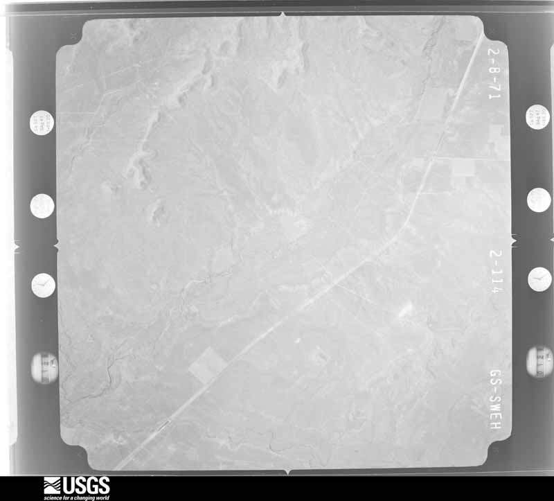
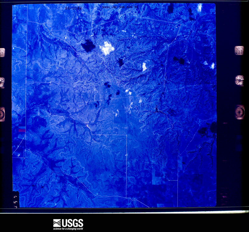
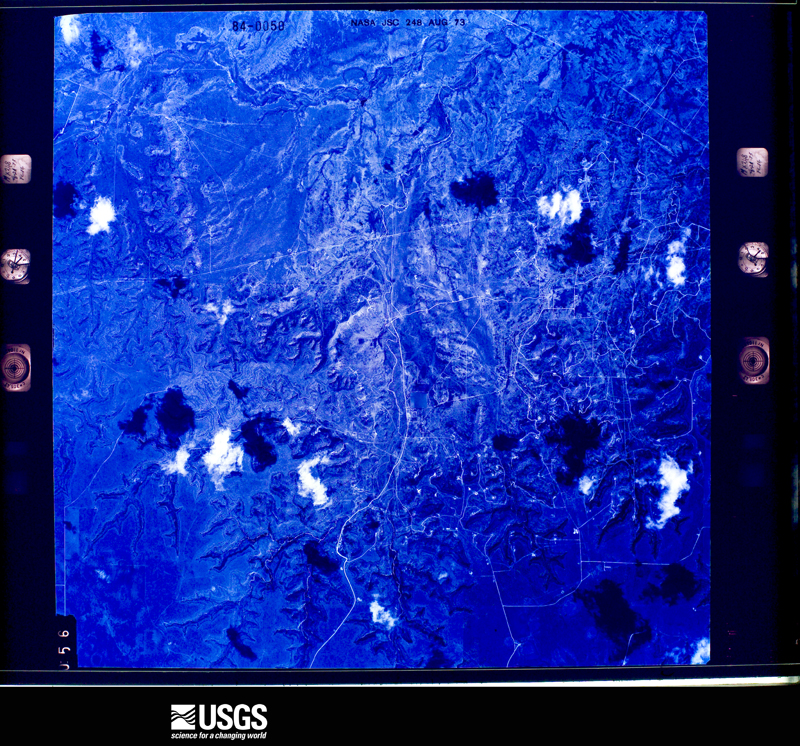
Flown by the U.S. Geological Survey between 1937 and 1989, the Aerial Photo Single Frames collection is the definitive mid-century view of the land: fields, roads and rivers as the camera saw them. The Survey holds 362 frames inside the rectangle that bounds this county; the 26 frames below were taken over the county itself, chosen across the decades of flights (at most four a year from that rectangle), so one flight cannot crowd out the rest. The full set is free to browse and download at EarthExplorer under the dataset Aerial Photo Single Frames.





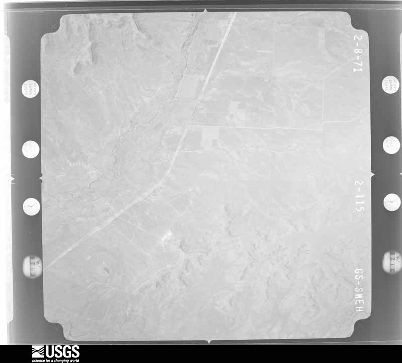
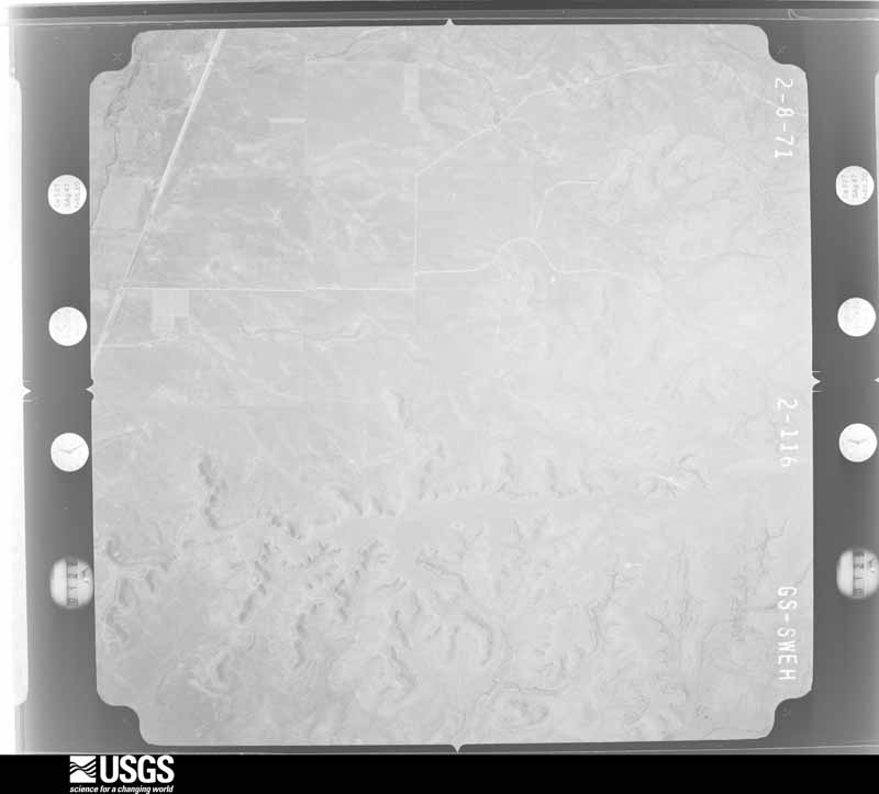
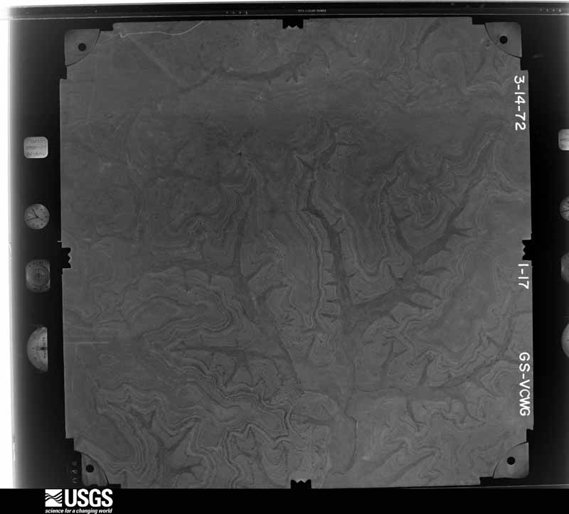
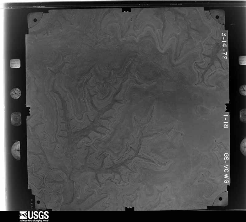
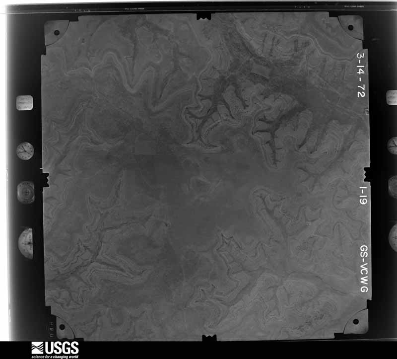
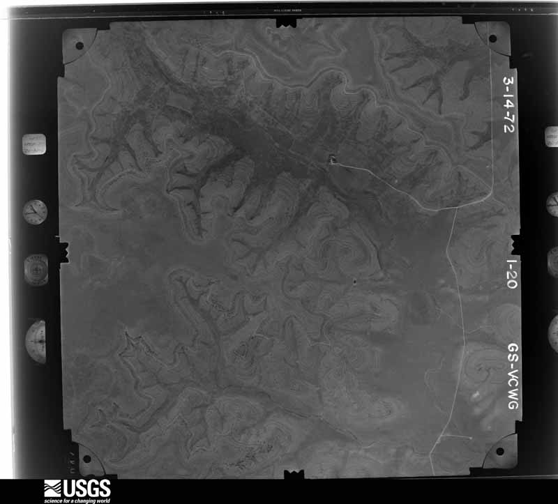
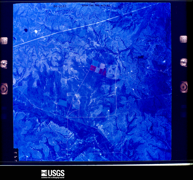
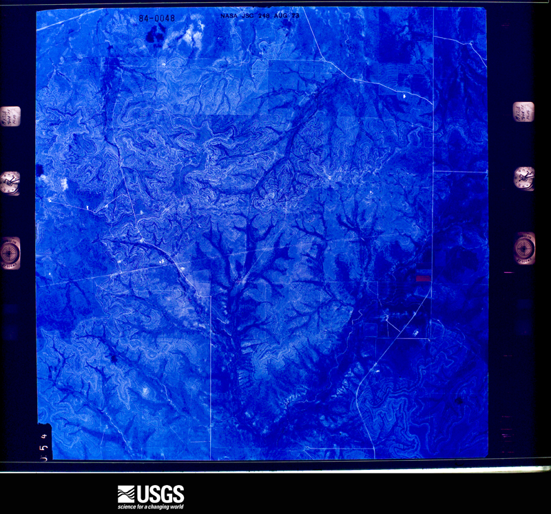
The thermometers that kept this county's weather, and the gages that measured the flow of its streams, as the federal records hold them. The extremes below are measured values from those records, not estimates.
Who lived here in 1950, one enumeration district at a time, as the Census Bureau described each district. Each row opens its official National Archives result, with Population Schedules and ED Maps available there.
Every wildfire the federal occurrence database records inside this county: 104 of them, burning about 288,263 acres. 26 started naturally and 1 was recorded as arson. Each settlement page carries the fires within five miles of it.
| Reported cause | Fires |
|---|---|
| Missing data/not specified/undetermined | 34 |
| Natural | 26 |
| Equipment and vehicle use | 23 |
| Power generation/transmission/distribution | 12 |
| Debris and open burning | 7 |
| Smoking | 1 |
| Arson/incendiarism | 1 |
The five largest, by the area the report gives. None of them was recorded as arson.
| Date | Cause | Size | Reported by | Name on the report |
|---|---|---|---|---|
| 25 February 2008 | Missing data/not specified/undetermined | 220,000 acres | Texas A & M Forest Service | GLASS |
| 1 January 2006 | Missing data/not specified/undetermined | 39,812 acres | Texas A & M Forest Service | COLE |
| 4 July 2020 | Natural | 5,430 acres | Texas A & M Forest Service | 7D2 |
| 19 June 2020 | Natural | 4,898 acres | Texas A & M Forest Service | SLADE |
| 27 February 2011 | Power generation/transmission/distribution | 3,500 acres | Texas A & M Forest Service | MITCHELL COMPLEX - 821 FIRE |
| 17 May 2011 | Missing data/not specified/undetermined | 3,392 acres | Texas A & M Forest Service | PRICE FIRE |
| 2 June 2008 | Missing data/not specified/undetermined | 1,800 acres | Texas A & M Forest Service | not named |
| 19 July 2011 | Equipment and vehicle use | 1,748 acres | Texas A & M Forest Service | STEWART FIRE |
Every settlement page carries the fires within five miles of it - see the settlement index below.
The NOAA Storm Events Database holds 206 reports for this county, causing no deaths, no injuries and about $70,610 in recorded property damage. Each settlement page carries the reports that name it.
| Kind of event | Reports |
|---|---|
| Hail | 132 |
| Thunderstorm Wind | 40 |
| Tornado | 19 |
| Flash Flood | 13 |
| Flood | 2 |
The most serious of them, by death, then injury, then recorded damage. The accounts are quoted exactly as the forecast office filed them.
| When | Event | Place named | Harm | What the report says |
|---|---|---|---|---|
| June 1997 | Thunderstorm Wind | Sterling City | $50,000 | Winds tore shingles off buildings in Sterling City. |
| March 2004 | Thunderstorm Wind | Sterling City | $5,000 | Power lines were damaged as a result of strong thunderstorm winds. |
| May 1999 | Hail | Sterling City | $5,000 | Baseball size hail broke an estimated 40 to 50 windows in residences just northwest of Sterling City. |
| May 1999 | Thunderstorm Wind | Sterling City | $5,000 | Severe thunderstorm winds downed trees and destroyed a carport just northwest of Sterling City. |
| March 2000 | Thunderstorm Wind | Sterling City | $3,000 | Thunderstorm winds ripped the roof off of a barn and overturned a trailer on the south side of Sterling City. |
| May 2007 | Thunderstorm Wind | Sterling City | $2,000 | Severe wind gusts were measured at 70 MPH in Sterling City. The winds caused tree damage and some minor building damage. |
| March 1993 | Hail | Sterling City | $500 | The Sterling County Sheriff's Office reported golfball-size hail in Sterling City at 1943 CST. At 2000 CST, quarter-size hail fell in the city, according to a storm spotter. Only minor damage resulted from the hail. |
| March 1993 | Hail | Sterling City | $50 | The Sterling County Sheriff's Office reported golfball-size hail in Sterling City at 1943 CST. At 2000 CST, quarter-size hail fell in the city, according to a storm spotter. Only minor damage resulted from the hail. |
| May 1982 | Tornado (F0) | not stated | $30 | no account filed |
| June 1982 | Tornado (F0) | not stated | $30 | no account filed |
| May 2025 | Thunderstorm Wind | Sterling City | - | The Sterling City West Texas Mesonet station measured a wind gust of 59 mph. |
| May 2025 | Thunderstorm Wind | Sterling City | - | A trained spotter estimated a wind gust of 70 mph. |
| May 2025 | Hail | Sterling City Cld Ar | - | Public report of quarter size hail. |
| May 2025 | Hail | Sterling City Cld Ar | - | Public reported half dollar size hail. |
| May 2025 | Hail | Broome | - | Public reported quarter size hail. |
| April 2025 | Hail | Broome | - | Public reported golf ball size hail. In addition, 4 inches of rain was reported as well as high winds. |
| April 2025 | Hail | Broome | - | Public reported quarter size hail. |
| April 2025 | Hail | Broome | - | Public reported quarter size hail. |
| April 2025 | Hail | Sterling City | - | Public reported ping pong ball size hail. |
| April 2025 | Hail | Sterling City | - | The public reported hail damage to cars and broken tree limbs. Half dollar size hail reported. |
| April 2025 | Hail | Broome | - | Public reported very large hail (larger than baseball) damaging cars and trees. |
| April 2025 | Flood | Sterling City Cld Ar | - | There was a report of road flooding along state route 163. |
| April 2025 | Hail | Sterling City | - | A trained spotter reported quarter size hail. |
| April 2025 | Hail | Sterling City | - | A storm chaser reported ping pong ball size hail. Time of report estimated by radar. |
| April 2025 | Hail | Sterling City | - | The Sterling County Sheriff Office reported golf ball size hail in Sterling City. |
| September 2025 | Thunderstorm Wind | Sterling City | - | A mesonet observation station near Sterling City measured a wind gust of 78 mph. |
| May 2024 | Hail | Sterling City | - | Law enforcement reported quarter size hail. |
| May 2024 | Thunderstorm Wind | Sterling City | - | Law enforcement reported a tin roof blown off a structure along Highway 158 northeast of Sterling City. |
| May 2024 | Tornado (EF3) | Sterling City Cld Ar | - | A tornado touched down west of State Highway 163 at a ranch house|on Private Road 127. The tornado damaged the roof of the ranch|house as well as flipped over an RV trailer next to the house.|Between the ranch house and Highway 163, the tornado strengthened|destroying at least two utility poles, severely damaging trees as|well as turning over an oil pump jack. As the tornado approached|and crossed Highway 163, the tornado continued to intensify|damaging several utility poles along the highway and then moving|across a deer lease off Private Road 128, east of Highway 163. The|tornado completely stripped the rocks, the grass, the top soil, and|the caliche roads on the property. Only the stubs of the trunks of |the trees remained on the property. The estimated peak wind of|the tornado was 140 mph. |
| May 2024 | Thunderstorm Wind | Sterling City | - | Law Enforcement reported winds gusts of 70 mph. |
| May 2023 | Hail | Sterling City | - | The County Sheriff reported dime to ping pong ball size hail on the Sterling-Glasscock County line on US 87. |
| May 2021 | Hail | Sterling City | - | The public reported hail up to 2 inches in diameter in Sterling City. |
| March 2021 | Thunderstorm Wind | Sterling City | - | A NWS Employee estimated a 60 mph thunderstorm wind gust in Sterling City. |
| May 2021 | Tornado (EF2) | Sterling City | - | A NWS Storm Survey was conducted for this tornado that was videotaped by many storm chasers throughout it's track across northern Sterling County. We found many snapped Mesquite tree trunks and plenty of tree limb damage. The tornado moved large wind turbine propellers at two different locations, and it snapped 16 power poles across two ranches. The tornado caused a wind mill stand to bend over. A nearby crane located about a mile south of the tornado track or in the rear flank downdraft, measured a wind speed of 109 mph. The twister destroyed a camper. ||The collective videotapes on social media from the many storm chasers, showed the tornado starting out as a multi-vortex tornado in the northwest part of Sterling County around 711 PM CDT, transitioning to a large cone near the wind farms, and then becoming rain wrapped as it struck the gas plant at around 747 PM CDT. As the tornado struck a gas plant on State Highway 163, it slung a large dumpster about 300 yards into a nearby pasture, snapped a telephone pole and threw a large Conix container about 50 feet. It also bent one of the towers on the plant. ||Many thanks to the Sterling County Sheriff's Department, the Stewart Ranch, National Weather Service Midland, other ranchers and all of the storm chasers for their excellent assistance. |
| May 2021 | Hail | Sterling City | - | A storm chaser reported baseball size hail. |
| October 2021 | Thunderstorm Wind | Sterling City | - | The Sterling City 4 WSW Mesonet recorded a wind gust of 61 mph. |
| May 2020 | Hail | Sterling City Cld Ar | - | The public measured quarter size hail 12 miles south of Sterling City. |
| June 2019 | Hail | Sterling City | - | The Sterling County Sheriffs Office reported golf ball size hail. |
| March 2018 | Hail | Sterling City | - | The large hail was reported at the Lucid Energy Facility. |
| May 2018 | Hail | Sterling City | - | Law enforcement reported nickel size hail in Sterling City. |
| May 2018 | Thunderstorm Wind | Sterling City | - | Law enforcement reported trees down and a lot of lofted dust 10 miles north of Sterling City. |
| May 2018 | Thunderstorm Wind | Sterling City | - | Law enforcement reported a power pole broken in half with the winds estimated at 80 mph. |
| May 2018 | Hail | Sterling City Cld Ar | - | Social media reported large hail near two inches, 8 miles south of Sterling City along US Highway 163. |
| March 2017 | Thunderstorm Wind | Sterling City | - | A 58 mph wind gust was measured at the Mesonet site located 4 miles west southwest of Sterling City. |
| March 2017 | Thunderstorm Wind | Sterling City | - | The Sterling County sheriff's office reported a metal roof ripped off a home. |
| June 2017 | Thunderstorm Wind | Sterling City | - | A Texas Tech West Texas Mesonet site near Sterling City measured a wind gust of 77 mph. |
| April 2016 | Hail | Sterling City | - | The public reported golf ball size hail along US Highway 87 about 12.5 miles northwest of Sterling City. |
| May 2016 | Hail | Sterling City Cld Ar | - | Law enforcement reported half dollar size hail along Texas Highway 163 about 6 miles west northwest of Sterling City. |
| May 2016 | Thunderstorm Wind | Sterling City | - | The West Texas Mesonet near Sterling City measured a 61 mph thunderstorm wind gust. |
| May 2015 | Tornado (EF0) | Sterling City | - | The tornado was observed by the public about 14 miles north of Sterling City to briefly touch down on State Highway 163. It was on the ground for about one minute. This report was relayed through the Sterling County Sheriff's office. |
| October 2015 | Flash Flood | Sterling City | - | Texas State Highway 163 just north of Sterling City was closed due to high water. |
| October 2015 | Flash Flood | Sterling City | - | The water was 10 feet over the Washington Street Bridge at the North Concho River just south of Sterling City. The water rose a foot every 12 minutes. |
| October 2015 | Thunderstorm Wind | Sterling City | - | A NWS Cooperative observer reported several large tree limbs down about 5 to 10 feet long. |
| December 2015 | Thunderstorm Wind | Sterling City | - | There was no power in Sterling City. |
| June 2014 | Thunderstorm Wind | Sterling City | - | A National Weather Service employee estimated a damaging wind gust at 60 mph. |
| May 2014 | Tornado (EF0) | Sterling City | - | A storm chaser videotaped this tornado. He was located at the intersection of State Highway 163 and FM 2139 as he was looking to the west southwest. He said it only lasted for 90 seconds before it transitioned into the rope stage. |
| May 2014 | Flood | Sterling City | - | Law enforcement reported State Highway 163 was flooded about 4 to 6 miles south of Sterling City. |
| May 2014 | Thunderstorm Wind | Sterling City | - | A trained spotter estimated a 60 mph wind gust. |
| April 2012 | Hail | Sterling City | - | This report was relayed through the Midland National Weather Service Forecast Office. |
| April 2012 | Hail | Sterling City | - | Golf ball size hail was reported on the west side of Sterling City. |
Named settlements recorded in the Geographic Names Information System, each with the topographic sheets covering it. Villages, hamlets and abandoned places alike. Each is shown with the nearest named watercourse or landform and the survey quadrangle it falls on.
Sterling City census division · 76951 · Near China Draw · Broome quadrangle
7 sheets, 1954 to 1986
Sterling City census division · 76951 · Buffalo Draw quadrangle
8 sheets, 1954 to 1986
No longer a settlement
Sterling City census division · 76951 · Near Bodcaw Draw · Sterling City quadrangle
7 sheets, 1954 to 1986
The vanished settlements of Sterling County: the places named above that are no longer on the map.