 Block
BlockStonewall County, Texas
34 topographic sheets cover 12 settlements here.
Research this county
What the record shows
- 94 topographic sheet readings cover the county's settlements.
- The Geographic Names Information System records 12 populated places in this county; 12 are covered by at least one topographic sheet.
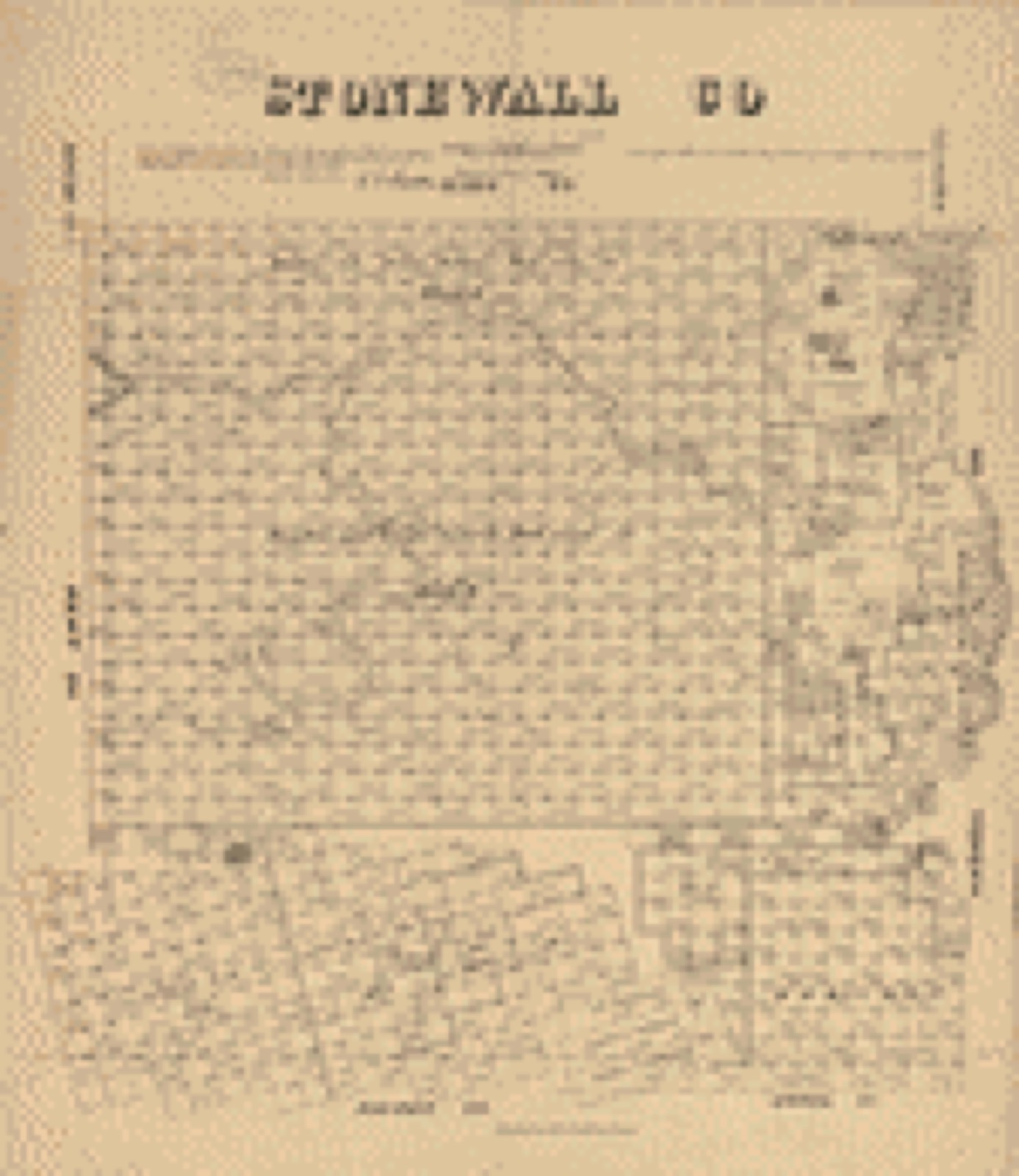
Bird's-eye views and land ownership maps
1Drawn when these were printed as single large sheets: the town seen from the air, and the county divided into its farms with every owner named. Each opens the original at the Library of Congress.
The county from the air
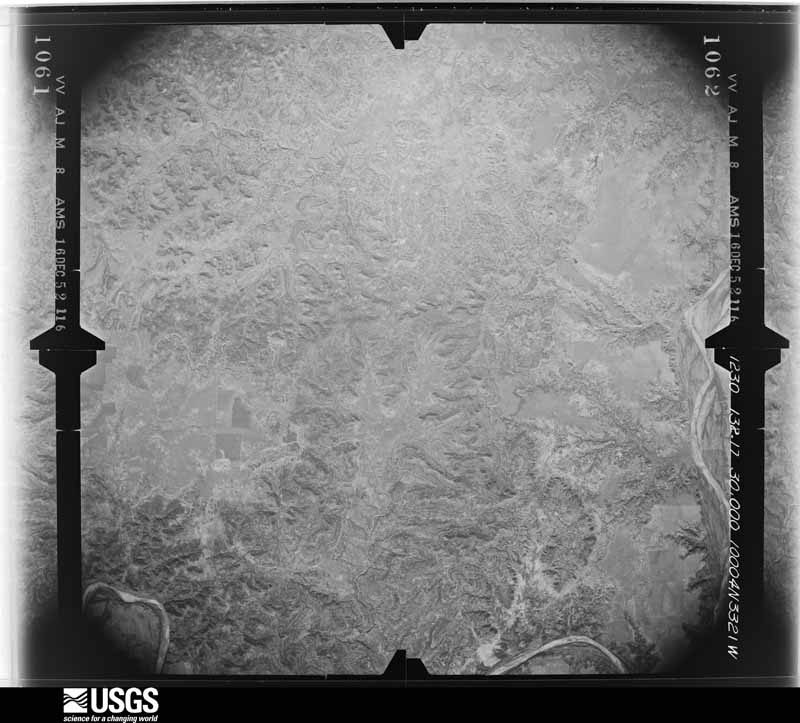
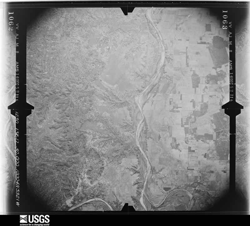
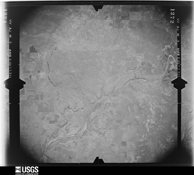
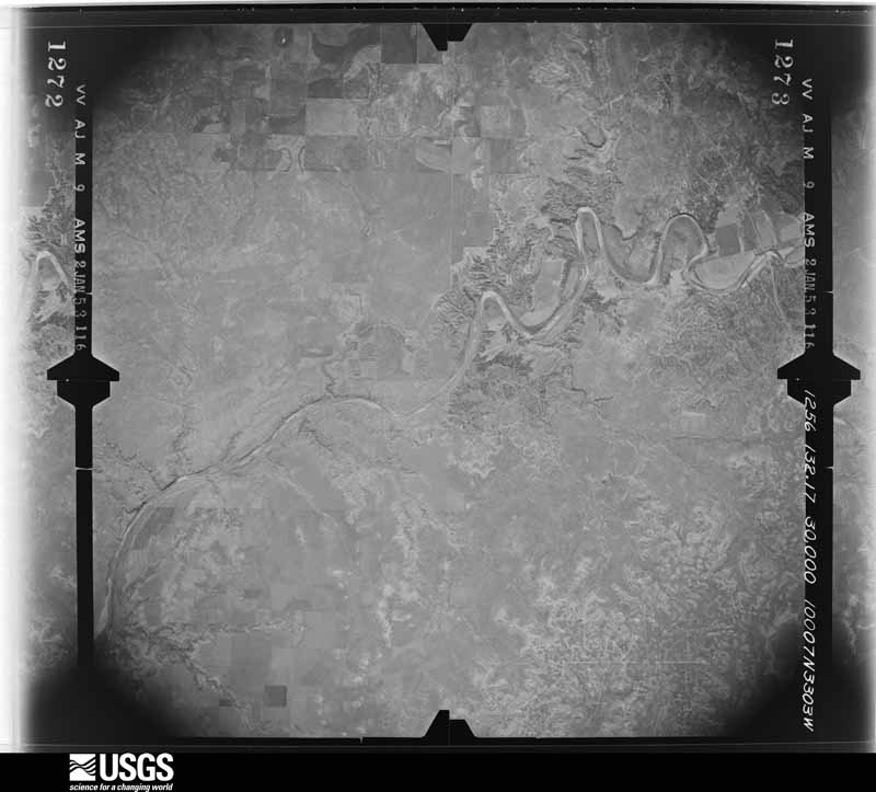
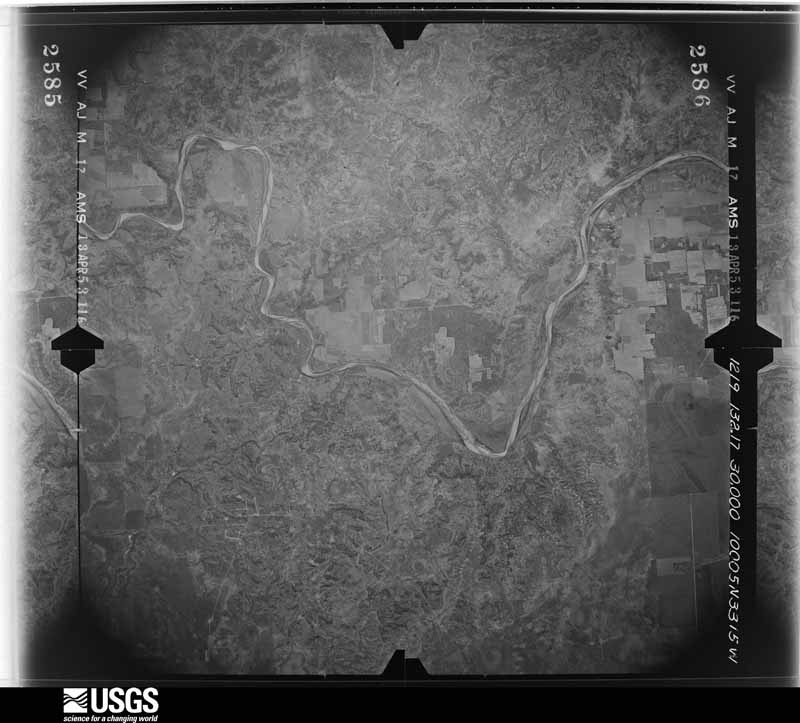
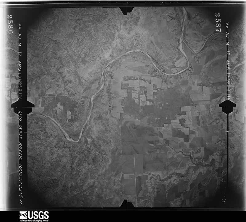
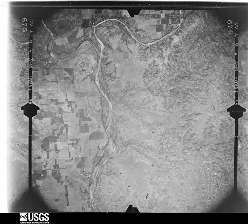
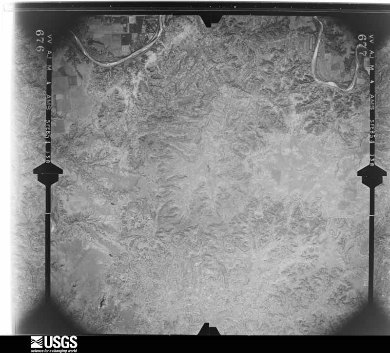
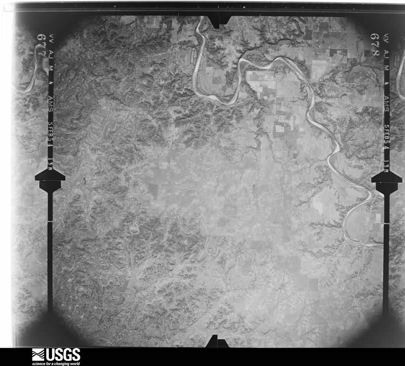
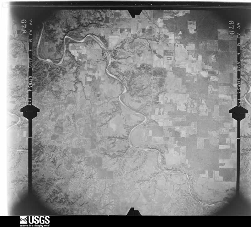
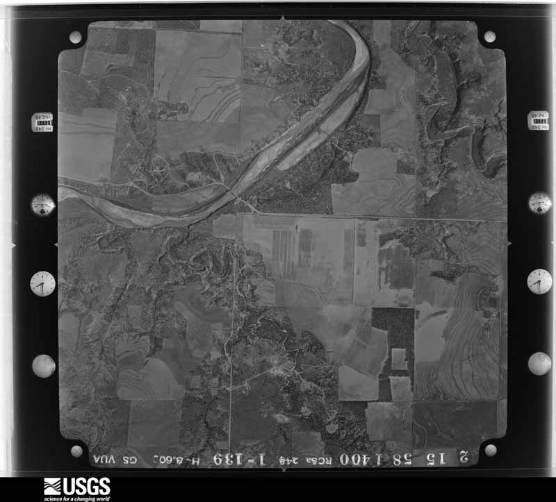
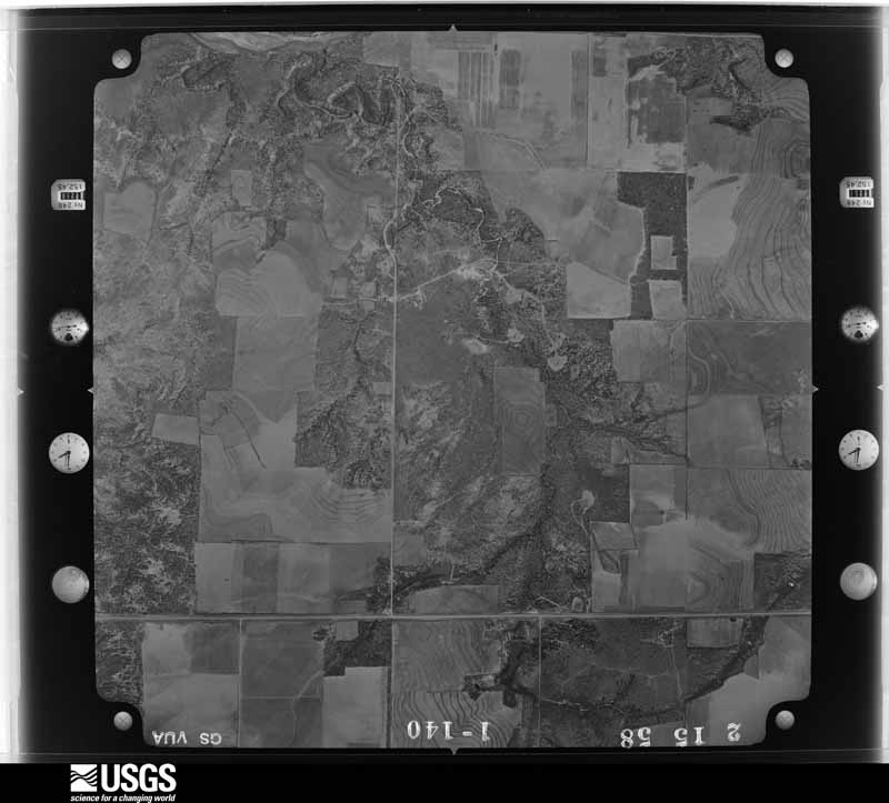
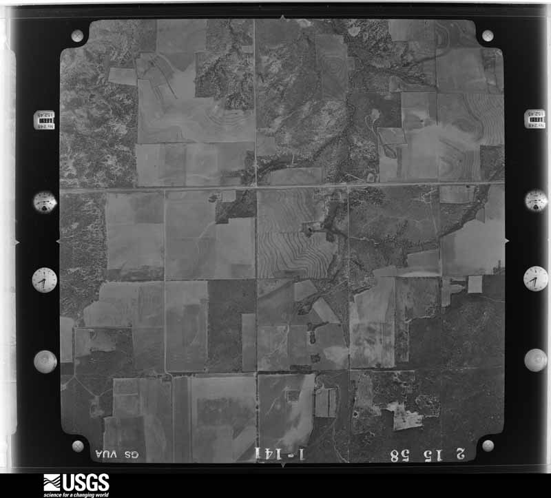
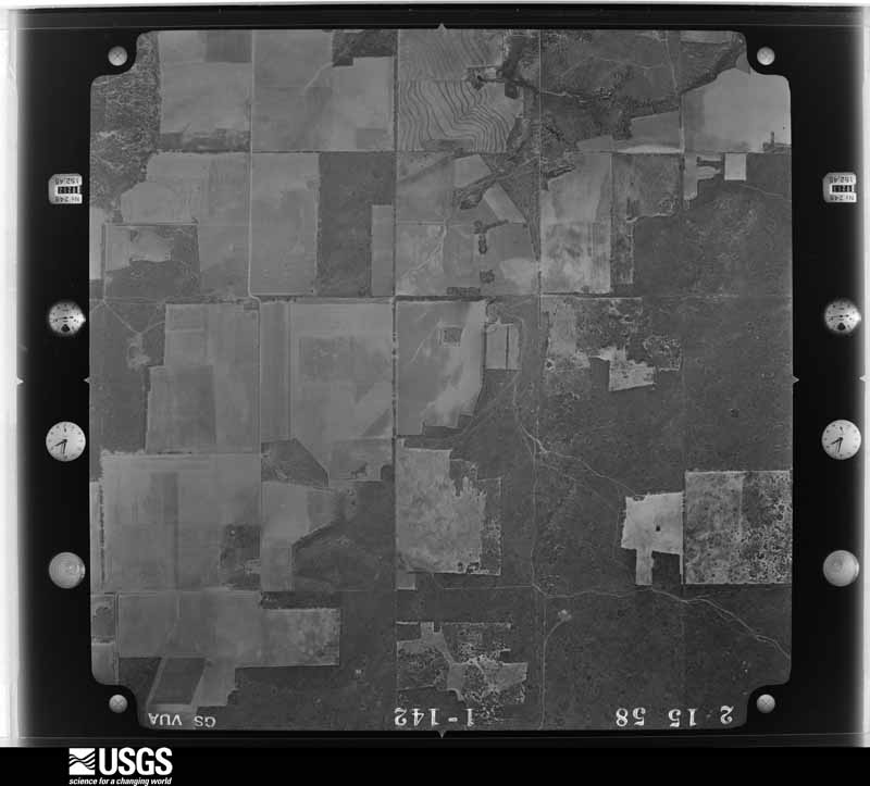
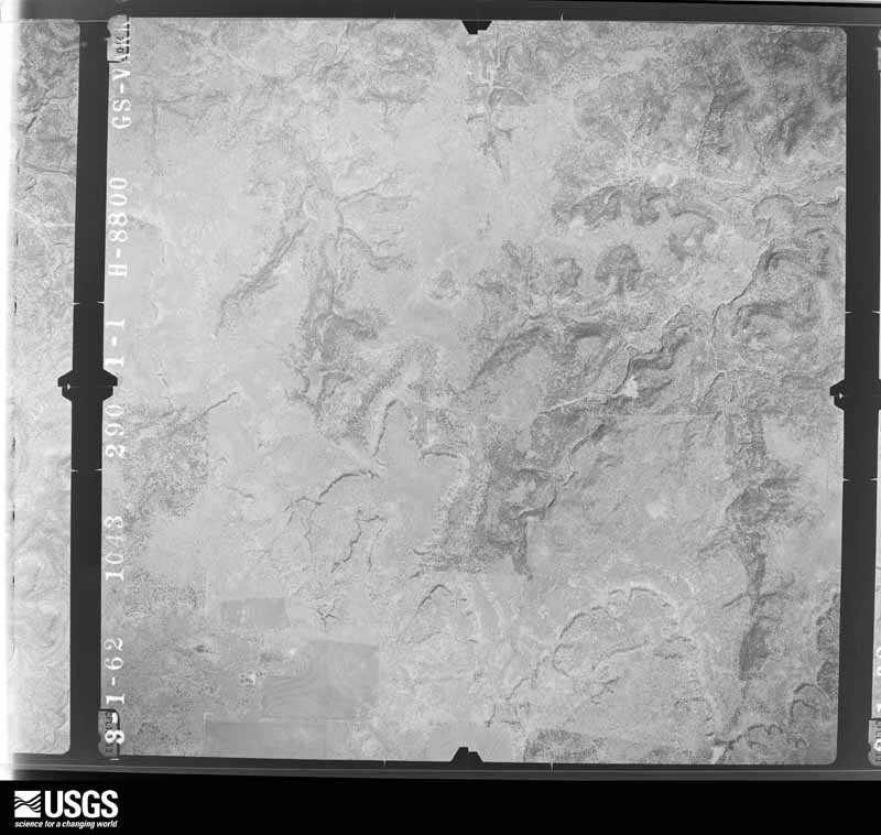
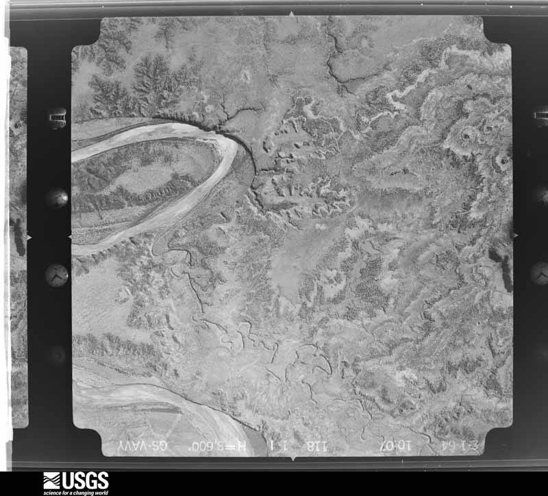
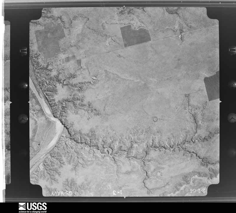
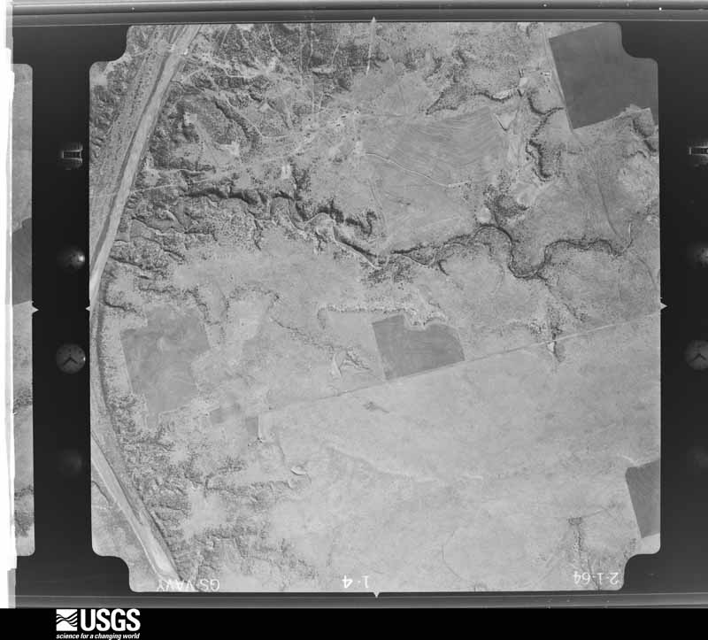
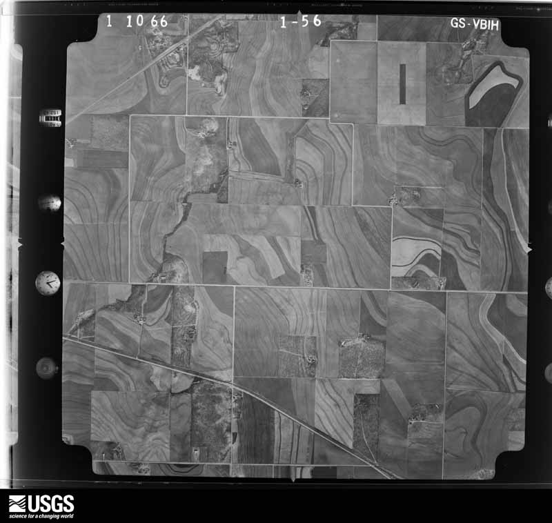
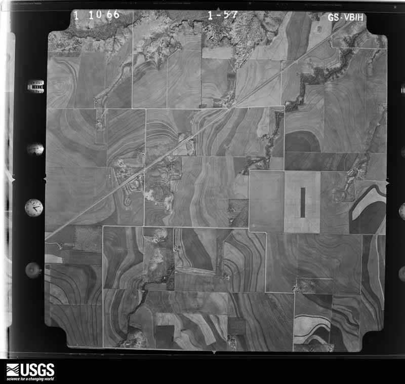
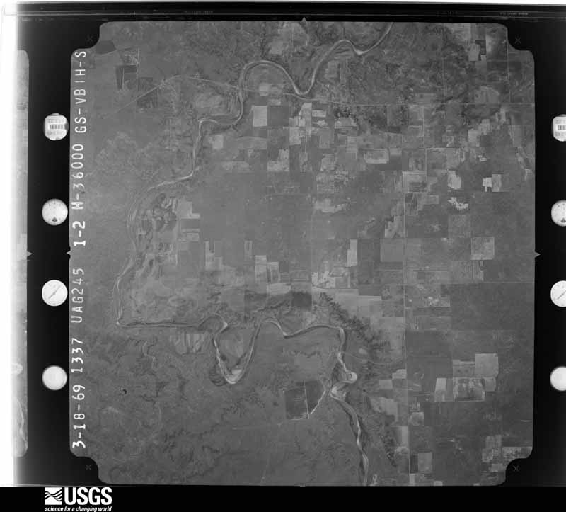
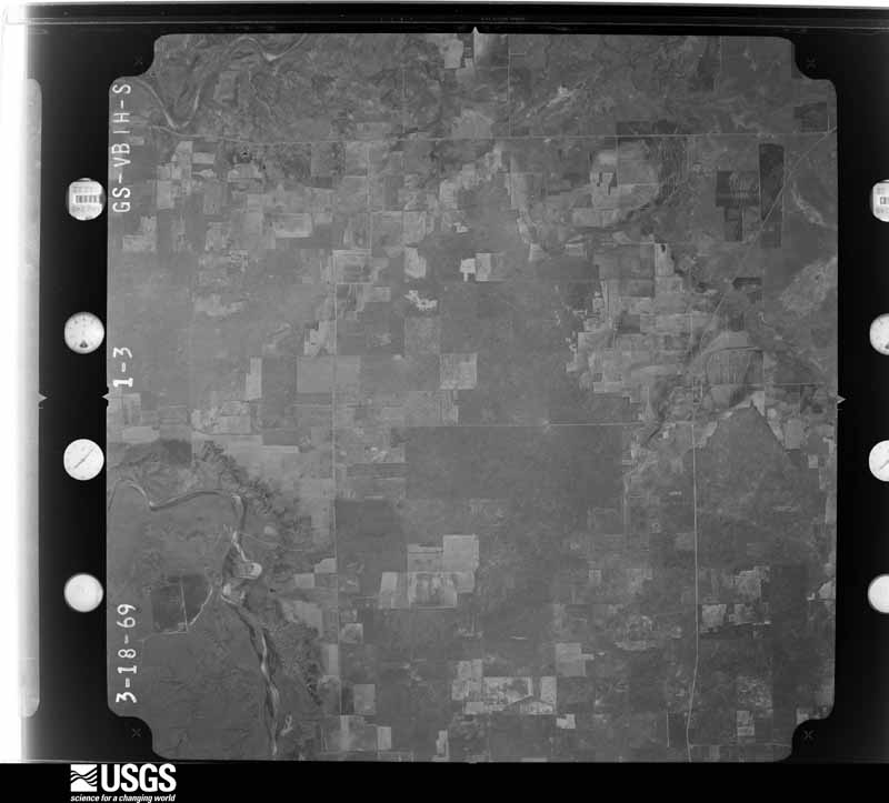
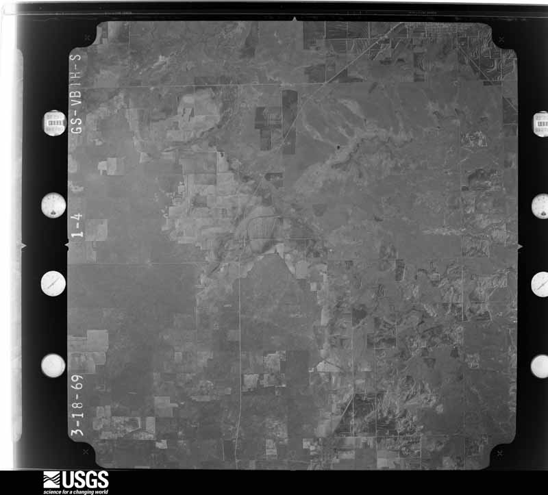
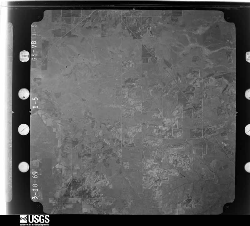
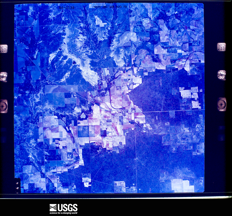
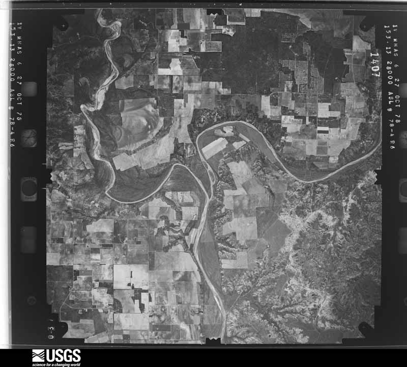
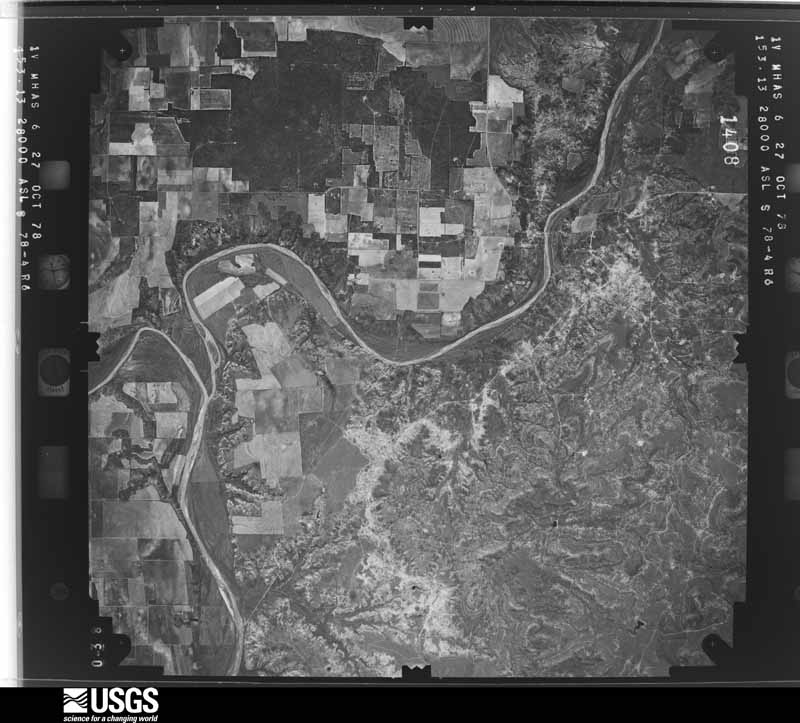
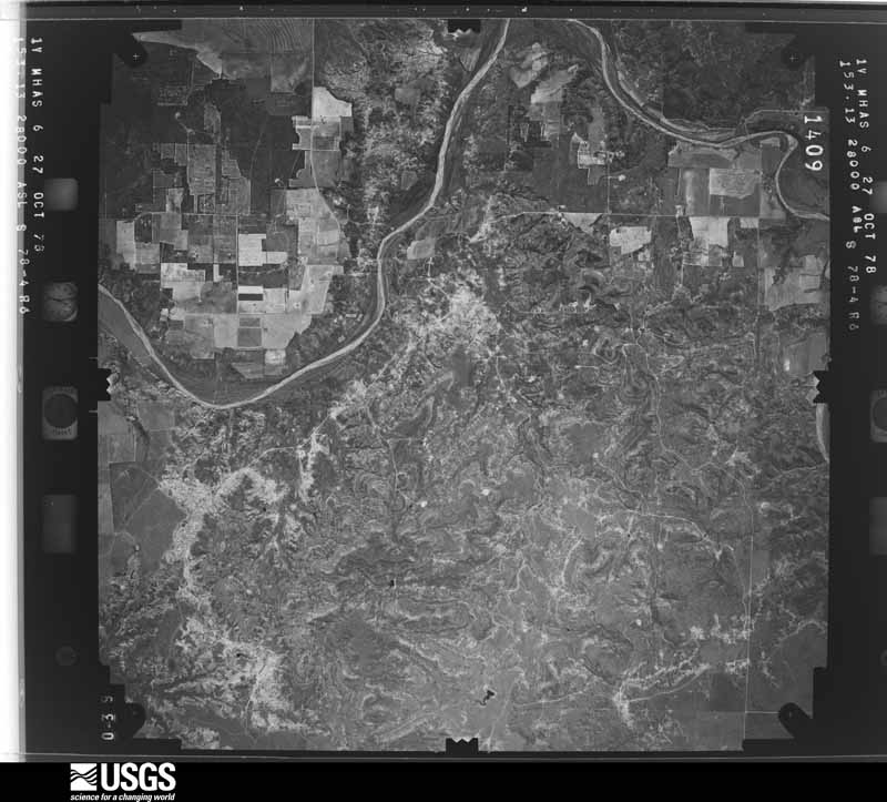
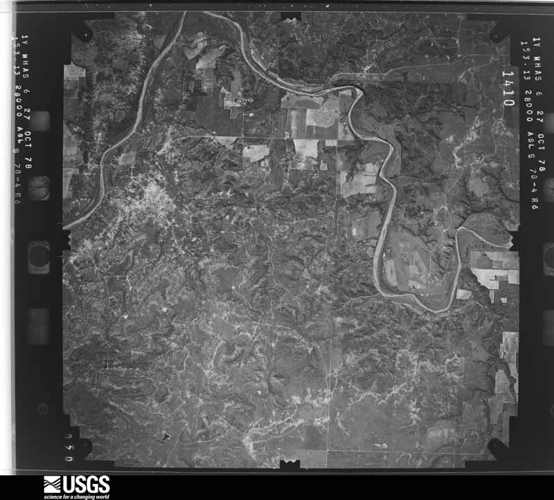
38 shownFlown by the U.S. Geological Survey between 1937 and 1989, the Aerial Photo Single Frames collection is the definitive mid-century view of the land: fields, roads and rivers as the camera saw them. The Survey holds 1,012 frames inside the rectangle that bounds this county; the 38 frames below were taken over the county itself, chosen across the decades of flights (at most four a year from that rectangle), so one flight cannot crowd out the rest. The full set is free to browse and download at EarthExplorer under the dataset Aerial Photo Single Frames.









Weather records
3 stations, 6 gagesThe thermometers that kept this county's weather, and the gages that measured the flow of its streams, as the federal records hold them. The extremes below are measured values from those records, not estimates.
- ASPERMONT 1911 to 2026, hottest 47.2 C, coldest -23.3 C
- ASPERMONT 7.1 SW 2009 to 2013
- HAMLIN 8.0 NE 2009 to 2010
- DMF Brazos Rv nr Aspermont, TX 1924 to 2026
- Salt Fk Brazos Rv nr Aspermont, TX 1924 to 2026
- Salt Fk Brazos Rv nr Peacock, TX 1950 to 1986
- Croton Ck nr Jayton, TX 1959 to 1986
- N Croton Ck nr Knox City, TX 1965 to 1986
- Stinking Ck nr Aspermont, TX 1965 to 1983
The 1950 census, district by district
9 districtsWho lived here in 1950, one enumeration district at a time, as the Census Bureau described each district. Each row opens its official National Archives result, with Population Schedules and ED Maps available there.
- 217-1Aspermont town, comprising parts of Commissioner's Precincts 1 and 4: Aspermont town - That part in Commissioner's Precinct 1
- 217-2Aspermont town - That part in Commissioner's Precinct 4
- 217-3Commissioner's Precinct 1 - That part outside Aspermont town (Remainder of Commissioner's Precinct 1 is in Aspermont town)
- 217-4Commissioner's Precinct 2
- 217-5Commissioner's Precinct 3: Peacock town
- 217-6Commissioner's Precinct 3 - That part west of Salt Fork of Brazos River
- 217-7Commissioner's Precinct 3 - That part east of Salt Fork of Brazos River, outside Peacock town
- 217-8Commissioner's Precinct 4, outside Aspermont town: Commissioner's Precinct 4 - That part east of an unimproved road extending south from precinct line to the Double Mountain Fork of Brazos River and southeast of Double Mountain Fork of Brazos River, outside Aspermont town
- 217-9Commissioner's Precinct 4 - That part west of an unimproved road extending south from precinct line to the Double Mountain Fork of Brazos River and northwest of the Double Mountain Fork of Brazos River (Remainder of Commissioner's Precinct 4 is in Aspermont town)
Wildfire, 2005 to 2020
214 firesEvery wildfire the federal occurrence database records inside this county: 214 of them, burning about 148,411 acres. 50 started naturally and 4 were recorded as arson. Each settlement page carries the fires within five miles of it.
| Reported cause | Fires |
|---|---|
| Missing data/not specified/undetermined | 69 |
| Natural | 50 |
| Debris and open burning | 33 |
| Equipment and vehicle use | 27 |
| Power generation/transmission/distribution | 27 |
| Arson/incendiarism | 4 |
| Misuse of fire by a minor | 2 |
| Other causes | 1 |
| Recreation and ceremony | 1 |
The five largest, by the area the report gives. One of them was set deliberately.
| Date | Cause | Size | Reported by | Name on the report |
|---|---|---|---|---|
| 6 April 2011 | Equipment and vehicle use | 122,500 acres | Texas A & M Forest Service | SWENSON FIRE |
| 19 June 2011 | Missing data/not specified/undetermined | 9,500 acres | Texas A & M Forest Service | ROCK CREEK FIRE |
| 28 August 2011 | Missing data/not specified/undetermined | 4,800 acres | Texas A & M Forest Service | NUDING FIRE |
| 11 June 2011 | Missing data/not specified/undetermined | 1,200 acres | Texas A & M Forest Service | SPRINGER FIRE |
| 19 June 2011 | Missing data/not specified/undetermined | 1,155 acres | Texas A & M Forest Service | RIDDLE FIRE |
| 16 April 2011 | Debris and open burning | 1,000 acres | Texas A & M Forest Service | DUAL COUNTY FIRE |
| 11 June 2008 | Equipment and vehicle use | 600 acres | Texas A & M Forest Service | not named |
| 29 November 2010 | Arson/incendiarism | 500 acres | Texas A & M Forest Service | SWENSON |
Every settlement page carries the fires within five miles of it - see the settlement index below.
Storms, 1956 to 2026
60 of 215 shownThe NOAA Storm Events Database holds 215 reports for this county, causing no deaths, 1 injury and about $1,445,530 in recorded property damage. Each settlement page carries the reports that name it.
| Kind of event | Reports |
|---|---|
| Hail | 131 |
| Thunderstorm Wind | 48 |
| Tornado | 27 |
| Flash Flood | 5 |
| Heavy Rain | 2 |
| Lightning | 1 |
| Flood | 1 |
The most serious of them, by death, then injury, then recorded damage. The accounts are quoted exactly as the forecast office filed them.
| When | Event | Place named | Harm | What the report says |
|---|---|---|---|---|
| June 2009 | Thunderstorm Wind | Aspermont | 1 hurt, $250,000 | A massive high precipitation supercell storm tracked southeastward over Stonewall County during the 17:00 CST hour on the 13th. The storm produced a large swath of damaging winds as it impacted areas near Aspermont. A Texas Tech University West Texas Mesonet site northeast of the city sustained a direct hit from a weak tornado which was embedded within the parent mesocyclone.||Skywarn storm spotters and storm chasers initially reported thunderstorm winds estimated between 70 mph and 80 mph along U.S. Highway 83 north of Aspermont at 17:22 CST. At approximately the same time, the onset of severe 60 mph gusts occurred at the Aspermont mesonet station. Severe gusts persisted for thirty minutes at the mesonet site, and local law enforcement officials reported that a tractor-trailer was blown over near the intersection of U.S. Highways 83 and 380 northeast of Aspermont at 17:34 CST. The driver of the truck was treated for minor injuries and released. The passage of a tornado at the site was well-corroborated by detailed pressure analyses, storm chaser accounts, and post-storm surveys at 17:30 CST. Although the highest wind speeds measured by the mesonet station during the event were tornadic in nature, a peak non-tornadic wind gust of 76 mph was recorded at 17:45 CST, ten minutes after the tornado had passed.||A post-storm survey by Texas Tech University West Texas Mesonet meteorologists revealed that utility poles were snapped along a three mile swath northeast of Aspermont. Minor damages to light weight structures and trailers was additionally common, along with wind damage to native mesquite trees and one center irrigation pivot system was destroyed. The most significant structural damage occurred three miles east of Aspermont just south of U.S. Highway 380, where a the roof was blown off of a well-constructed farm house and a large horse bard was substantially damaged. This damage was deemed to have most likely resulted from outflow winds given that all debris from the structures was blown downwind toward the southeast. |
| June 2008 | Thunderstorm Wind | Aspermont | $250,000 | A severe thunderstorm produced damaging winds in the Aspermont vicinity shortly after 21:30 CST on the 16th. This was the second storm to cause damage in and around Aspermont in as many weeks, following a previously damaging storm which struck on the 5th.||The Texas Tech University West Texas Mesonet site just northeast of the city recorded gusts of 63 mph and 66 mph between 21:35 CST and 21:45 CST. Reports from local newspapers and the Aspermont Fire Department indicated that several structures, including at least one home, received significant roof damage. Several additional light weight structures were destroyed, and damage to utility poles and trees was widespread. The magnitude of structural damage within the city suggest that winds may have approached 80 mph. No injuries were reported. |
| June 2008 | Thunderstorm Wind | Aspermont | $150,000 | Damaging thunderstorm winds impacted the Aspermont vicinity around 19:30 CST on the 5th. The winds caused widespread tree damage and tore tin off of several lightweight structures. Some large trees that were more than thirty years old were reportedly split and uprooted from the storm. A brick store-front was blown off of a Main Street building that dated back to the 1920s. The Texas Tech University West Texas Mesonet site northeast of Aspermont recorded a peak gust of 70 mph at 19:40 CST. A local utility company reported the loss of more than fifty wooden power poles across portions of Stonewall County and neighboring King County during the storms. No injuries were reported. |
| June 2009 | Tornado (EF1) | Aspermont | $100,000 | A tornado tracked southeast through rural areas near Aspermont between 17:25 CST and 17:35 CST. This tornado was obscured by precipitation and blowing dust within a massive high precipitation supercell. Although storm chasers observed suspicious storm features and small debris fallout that led them to believe a tornado was lurking within the bear's cage, visual observations of the tornado were virtually non-existent. The tornado, however, struck a Texas Tech University West Texas Mesonet site three miles northeast of Aspermont at 17:30 CST. Both meteorological data from the mesonet and a post-storm survey confirmed the occurrence of this tornado.||The tornado developed near the intersection of Farm to Market Roads 3431 and 1263 two and a half miles north of Aspermont. Texas Department of Transportation signs were blown in multiple directions near the intersection, and a 200 yard path in broken utility poles displayed distinctly different fall patterns than the many additional downed poles along the broader swath of ambient thunderstorm winds. ||Two homes along Farm to Market Road 3431 were damaged east of the intersection. The most significant damage included a partially removed roof and the destruction of two barns. Multiple stock trailers were rolled, with one apparently displaced some distance and unaccounted for. A resident witnessed the event and described strong northwesterly winds, then a period of relatively light winds. During the calm, three white funnels were seen approaching the property; followed by the onset of a loud roar and an intense wind that caused the structure's roof to lift.||The damage path remained visible in native mesquite tree damage and damage to fences and utilities southeastward to the mesonet site located three miles northeast of Aspermont. At 17:30 CST the automated station recorded a peak gust of 100 mph and a corresponding brief surface pressure drop of 32 millibars. A guy wire to the station was broken, but significant operational damage did not occur. ||The end of the tornado's path was difficult to discern, but it is believed the tornado dissipated before it reached U.S. Highway 380 east of Aspermont. Although evidence of additional tornadoes was not found in Stonewall County, the supercell cycled again and produced a significant tornado in adjacent parts of Haskell County.||Tornado related damages are estimated at $100,000, with approximately $350,000 in total losses attributed to both wind and tornado activity in the Aspermont vicinity on the 13th. No injuries were reported. |
| April 2004 | Hail | Old Glory | $100,000 | A supercell thunderstorm developed west of town and moved slowly east producing a swath of hail up to and slightly larger than golfball size in and west of Old Glory. |
| April 2003 | Hail | Swenson | $50,000 | The Stonewall County Sheriff's Office reported baseball size hail. |
| May 1993 | Thunderstorm Wind | Aspermont | $50,000 | The Stonewall County Sheriff's Office reported downburst winds to 80 miles an hour in Aspermont. The wind downed power poles and damaged the roofs of several buildings in the city. |
| April 2000 | Hail | Swenson | $50,000 | no account filed |
| May 1998 | Thunderstorm Wind | Aspermont | $50,000 | no account filed |
| April 2003 | Hail | Old Glory | $30,000 | Baseball size hail struck and killed thirteen cattle. |
| April 2000 | Hail | Peacock | $30,000 | no account filed |
| August 2010 | Thunderstorm Wind | Aspermont | $25,000 | The Texas Tech University West Texas Mesonet recorded a peak thunderstorm wind gust of 77 mph at 21:20 CST. The Stonewall County Judge reported that the winds downed several utility poles just east of Aspermont, and that electrical power was lost at several residences through the night. |
| April 2003 | Hail | Aspermont | $25,000 | The Stonewall County Sheriff's Office reported golfball size hail. |
| May 1998 | Thunderstorm Wind | Aspermont | $25,000 | no account filed |
| April 1991 | Tornado (F1) | not stated | $25,000 | no account filed |
| May 1982 | Tornado (F1) | not stated | $25,000 | no account filed |
| April 2019 | Hail | Peacock | $20,000 | A tornadic supercell produced a long swath of severe hail ranging in size from quarters to as large as baseballs at times. Damage photos from social media indicated some cars sustained heavy damage, but damage to homes or other property was not known. |
| July 2008 | Thunderstorm Wind | Swenson | $20,000 | The broadcast media relayed reports of thunderstorm wind damage to a farmstead in western Stonewall County during the evening of the 12th. A hay barn was destroyed and a grain silo sustained minor damage along U.S. Highway 82 west of Swenson. Event times are estimated based on archived Doppler radar imagery. |
| June 2007 | Thunderstorm Wind | Aspermont | $20,000 | Local law enforcement officials reported that severe thunderstorm winds caused minor roof damage to a number of structures in Aspermont. A Texas Tech University West Texas Mesonet site three miles northeast of the city recorded a peak wind gust of 53 mph. |
| May 1995 | Hail | Old Glory | $20,000 | no account filed |
| July 2015 | Thunderstorm Wind | Old Glory | $15,000 | A roof was blown off an old, unused gymnasium building. Time estimated by radar. |
| April 2003 | Hail | Peacock | $15,000 | The Stonewall County Sheriff's Office reported golfball size hail. |
| May 1999 | Hail | Aspermont | $15,000 | Large hail damaged trees, vehicles and the roof of at least one house. |
| August 2015 | Thunderstorm Wind | Aspermont | $10,000 | Measured by a Texas Tech University West Texas mesonet station. A short while later, the Aspermont Sheriff's Office estimated 70 to 80 mph wind gusts and noted that a nearby carport roof was blown off and power lines were down. |
| June 2004 | Thunderstorm Wind | Aspermont | $10,000 | Strong thunderstorm winds removed siding from a building. |
| April 2003 | Hail | Aspermont | $10,000 | An amateur radio storm spotter reported baseball size hail. |
| June 1997 | Thunderstorm Wind | Aspermont | $10,000 | no account filed |
| June 2017 | Thunderstorm Wind | Aspermont | $5,000 | Law enforcement reported some roof damage to the high school's gym. |
| June 2009 | Hail | Peacock | $5,000 | A Peacock resident measured giant hail stones two and a half inches in diameter shortly before 19:00 CST. Given the rural nature of the area, damages were limited. |
| May 1997 | Hail | Aspermont | $5,000 | no account filed |
| June 1996 | Thunderstorm Wind | Aspermont | $5,000 | no account filed |
| May 1994 | Thunderstorm Wind | Swenson | $5,000 | no account filed |
| June 2017 | Thunderstorm Wind | Aspermont Arpt | $3,000 | The Stonewall County Sheriff's office reported a power pole that had been blown over and several tree limbs down on US Highway 83 south of Aspermont. |
| May 2010 | Hail | Aspermont | $2,500 | Golf ball size hail was reported at the Texas State Highway Department in Aspermont. The Texas Tech University West Texas mesonet station in Aspermont sustained damage from wind-blown hail. At the mesonet station, all of the radiation shields were smashed, a 4 inch plastic rain gauge was broken, and the rim of a metal rain gauge was bent. |
| June 1982 | Tornado (F1) | not stated | $2,500 | no account filed |
| April 1976 | Tornado (F1) | not stated | $2,500 | no account filed |
| May 1956 | Tornado (F0) | not stated | $2,500 | no account filed |
| May 2017 | Thunderstorm Wind | Peacock | $2,000 | A downburst carried the roof from an unoccupied mobile home. |
| June 2002 | Thunderstorm Wind | Aspermont | $2,000 | Strong thunderstorm winds destroyed a storage shed and blew the debris onto the road. |
| May 1998 | Hail | Old Glory | $2,000 | no account filed |
| May 2016 | Hail | Aspermont Arpt | $500 | A deputy from the Aspermont Police Department reported very strong winds and hail increasing from nickel to half dollar size while driving south along Highway 83. Minor hail dents were noted on the side of the deputies vehicle. |
| August 2013 | Lightning | Aspermont | $500 | Law enforcement and local media reported the destruction of two salt water tanks caused by lightning strikes about five miles south of Aspermont. No injuries occurred. |
| April 1993 | Hail | Aspermont | $500 | Dime- to golf ball-size hail was reported in northern Stonewall County. No significant damage was observed. |
| May 1982 | Tornado (F0) | not stated | $30 | no account filed |
| April 2026 | Thunderstorm Wind | Aspermont | - | A Texas Tech University West Texas mesonet site near Aspermont measured severe wind gusts from 1902 CST through 1903 CST. A peak gust of 66 mph was measured at 1902 CST. |
| April 2026 | Thunderstorm Wind | Aspermont | - | Law enforcement in Stonewall County reported a couple of power lines were blown over in the city of Aspermont. |
| May 2025 | Flash Flood | Old Glory | - | Slow moving and repeated rounds of thunderstorms in and around Old Glory brought an extended period of heavy rainfall. A report from mPing indicated water over the roadway along US Highway 380. |
| May 2025 | Thunderstorm Wind | Aspermont | - | A Texas Tech University West Texas mesonet site near Aspermont measured severe wind gusts from 1658 CST through 1704 CST. A peak wind gust of 66 mph was measured at 1704 CST. |
| May 2025 | Hail | Aspermont | - | A storm chaser reported golf ball size hail east of Aspermont along US Highway 380. |
| May 2025 | Hail | Old Glory | - | A report was received on mPing of half dollar size hail near Old Glory. |
| May 2025 | Thunderstorm Wind | Aspermont | - | A Texas Tech University West Texas mesonet site near Aspermont measured a severe wind gust of 61 mph. |
| April 2025 | Hail | Swenson | - | A report was received on mPing of ping pong ball size hail near Swenson. |
| April 2025 | Hail | Aspermont | - | Multiple mPing reports were received of a swath of hail from northwest of Aspermont to west of Old Glory along US Highway 380. Hail ranged in size from quarters to ping pong ball size. |
| June 2025 | Thunderstorm Wind | Aspermont | - | A Texas Tech University West Texas mesonet site near Aspermont measured severe wind gusts from 2036 CST through 2053 CST. A peak wind gust of 68 mph was measured at 2037 CST. |
| April 2024 | Hail | Aspermont | - | A public report was received of quarter size hail in Aspermont. |
| April 2024 | Flash Flood | Aspermont | - | Beginning around 1700 CST to 1800 CST, severe thunderstorms began to train over eastern Stonewall County. These thunderstorms continued to back build for several hours not ending until approximately 2200 CST. Periodic rainfall rates of one to two inches per hour were estimated within this activity with a total of three to four inches of rainfall. Late in the evening, the Stonewall County sheriff's office stated that water was nearly flowing over US Highway 380 between Aspermont and Old Glory. Downstream of the reported flooding, the Double Mountain Fork Brazos River near Rule in Haskell County, Texas saw its fourth highest flow in the past four years of 2740 cubic feet per second. |
| April 2024 | Hail | Swenson | - | A report from mPING was received of quarter size hail just south of the King County / Stonewall County line along US Highway 83. |
| June 2023 | Thunderstorm Wind | Peacock | - | A swath of strong winds and damage associated with a rear flank downdraft occurred over a three county area. This swath of winds that caused damage in Dickens and Kent County ended approximately 13 miles southwest of Aspermont. |
| May 2023 | Thunderstorm Wind | Aspermont | - | A Texas Tech University West Texas mesonet site near Aspermont measured severe wind gusts from 1924 CST through 1927 CST. A peak wind gust of 80 mph was measured at 1924 CST. Several car ports were damaged in Aspermont and a truck transporting a manufactured home was blown off the road. |
| June 2023 | Tornado (EFU) | Aspermont Arpt | - | Numerous storm chasers reported a tornado in far southern Stonewall County over open ranch land. No known damage occurred. |
Mines and quarries
16 recordedThe Survey's mineral resources record lists 16 workings inside this county. 2 still produce and 14 are closed or unrecorded. Each settlement page carries the workings within five miles of it.
| Commodity | Workings |
|---|---|
| Copper | 15 |
| Gypsum-Anhydrite | 1 |
The least common of them first, because a county's hundredth gravel pit says nothing its first ten did not.
| Where | Site | Commodity | Status | Recorded |
|---|---|---|---|---|
| Kennedy Pit | Gypsum-Anhydrite | Producer | ||
| (Facility) Smelter Canyon | Copper | Plant | 1757, 1882, 1945 | |
| C-15 | Copper | Occurrence | 1968 | |
| Copper Queen | Copper | Past Producer | 1880, 1945 | |
| Farris Prospect | Copper | Past Producer | 1876, 1931, 1970 | |
| Marcy Camp 17 | Copper | Occurrence | 1854 | |
| Martindale-1 | Copper | Occurrence | ||
| Maury-1 | Copper | Occurrence | ||
| Panther Canyon-1 | Copper | Occurrence | 1755 | |
| Panther Canyon-2 | Copper | Occurrence | Stratabound | |
| Roessler Prospect | Copper | Occurrence | 1873 | |
| Salt Fork-1 | Copper | Occurrence | 1876 | |
| Salt Fork-2 | Copper | Occurrence | 1876 | |
| Spitzer-1 | Copper | Occurrence | 1974 | |
| Walk North | Copper | Occurrence | 1972 | |
| Wilde-1 | Copper | Occurrence |
Every populated place in the county
12Named settlements recorded in the Geographic Names Information System, each with the topographic sheets covering it. Villages, hamlets and abandoned places alike. Each is shown with the nearest named watercourse or landform and the survey quadrangle it falls on.
-
Dorras
Aspermont South census division · 79546 · On Long A · Double Mountains quadrangle
6 sheets, 1954 to 1985
-
Flat Top
Aspermont South census division · On Willow Creek · Frog Mountain quadrangle
9 sheets, 1931 to 1985
-
Oriana
Aspermont South census division · 79528 · On Stinking Creek · Peacock quadrangle
6 sheets, 1954 to 1985
No longer a settlement
-
Red Bluff Crossing
Aspermont South census division · 79546 · Poke Mountain quadrangle
15 sheets, 1893 to 1985
-
Sandlin
Aspermont North census division · 79502 · On Rock Creek · Old Glory quadrangle
9 sheets, 1925 to 1985
-
Two F Crossing
Aspermont North census division · 79502 · Near Beaver Canyon · Kiowa Peak quadrangle
7 sheets, 1954 to 1985
The vanished settlements of Stonewall County: the places named above that are no longer on the map.
Provenance
- Topographic sheets. USGS Historical Topographic Map Collection, county index, measured from the bulk metadata.
- Fire insurance maps. Library of Congress Sanborn collection, faceted to this county.
- Photographs. Each place queried individually against the Library of Congress Prints and Photographs search.
- Wildfire. Short, Karen C. 2022. Spatial wildfire occurrence data for the United States, 1992-2020 [FPA_FOD_20221014]. 6th Edition. Fort Collins, CO: Forest Service Research Data Archive. https://doi.org/10.2737/RDS-2013-0009.6 Collected with United States Government funding and usable without additional permissions or fees.
- Mines and quarries. USGS Mineral Resources Data System (MRDS) https://mrdata.usgs.gov/mrds/ A work of the United States government, no copyright under 17 U.S.C. 105.
- Storms. NOAA National Centers for Environmental Information, Storm Events Database https://www.ncei.noaa.gov/stormevents/ A work of the United States government, no copyright under 17 U.S.C. 105. Narratives are quoted verbatim from the National Weather Service report and are not edited or summarised.