 Block
BlockFrom the record
3 National Register listings published here.
Sources: the National Register database, National Park Service
7 topographic sheets cover 1 settlement here, and 3 properties are on the National Register of Historic Places.
3 National Register listings published here.
Sources: the National Register database, National Park Service
Every property in this county listed on the National Register of Historic Places, with the year it was listed and the federal nomination document.
| Photograph | Property | Type | Listed | Reference |
|---|---|---|---|---|
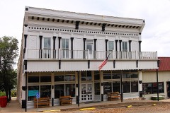 | Old Mercantile Building | building | 1978 | 78002979 |
 | Sutton County Courthouse | building | 1977 | 77001476 |
| deBerry Ranch | district | 2011 | 11000134 |
Drawn when these were printed as single large sheets: the town seen from the air, and the county divided into its farms with every owner named. Each opens the original at the Library of Congress.


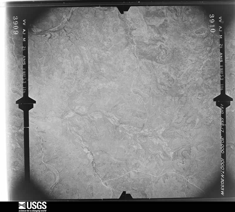
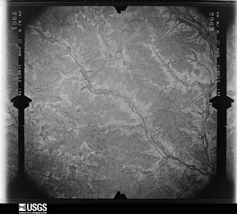
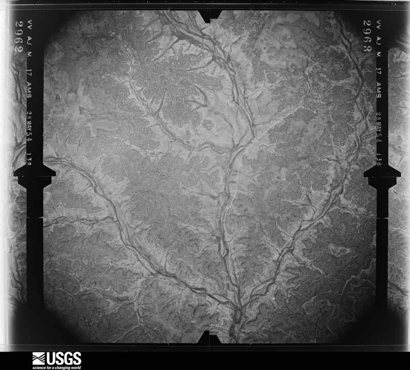
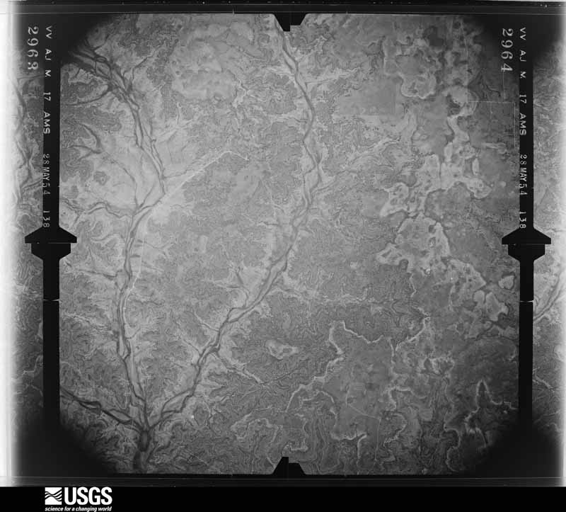
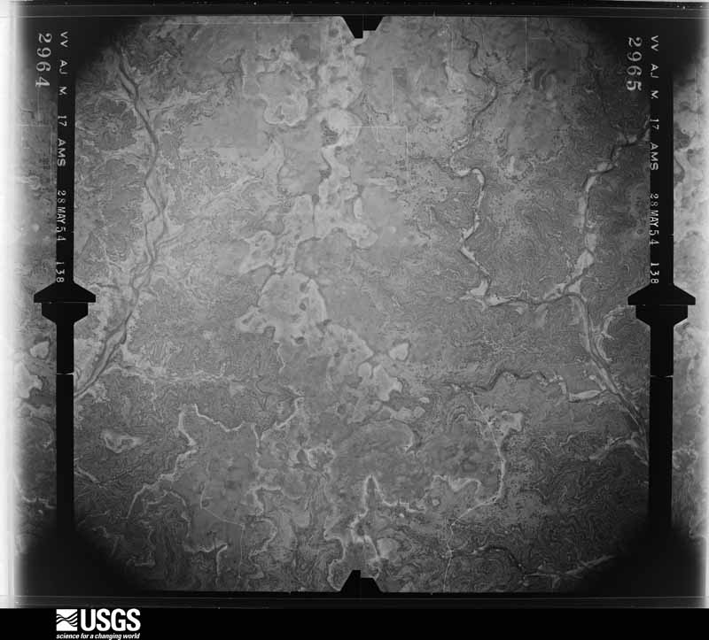
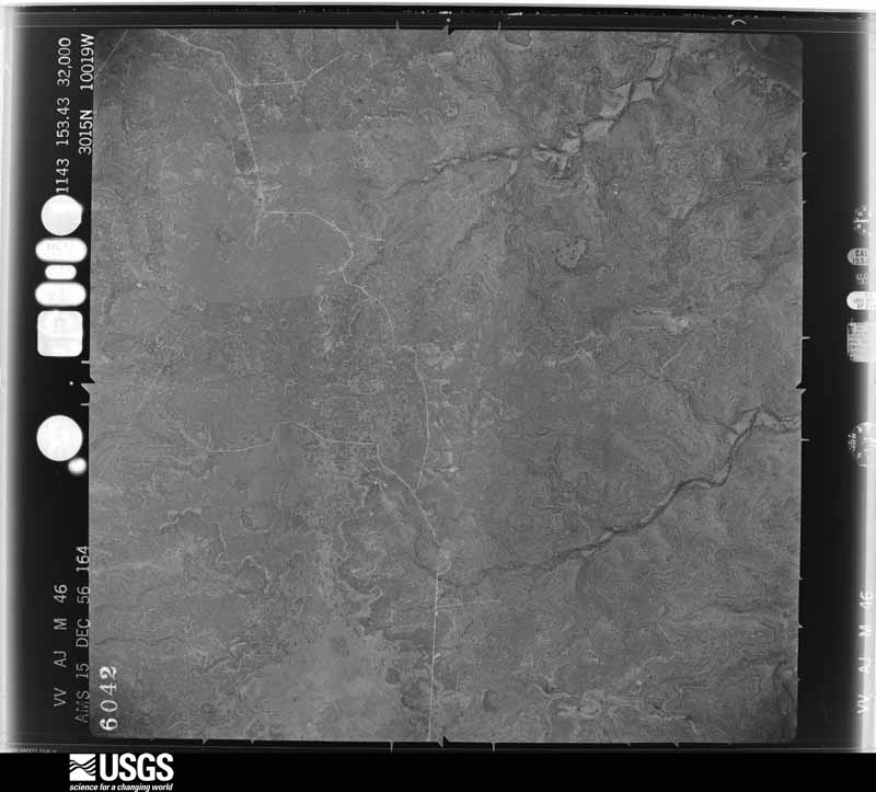
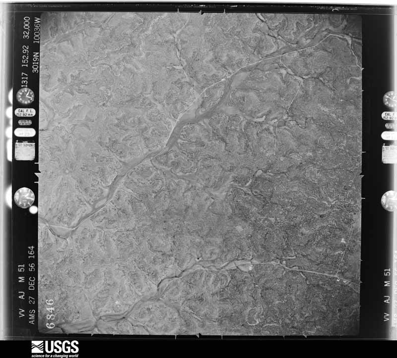
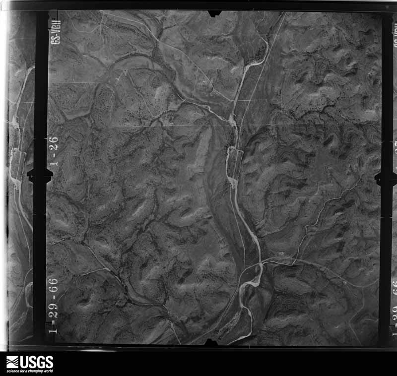
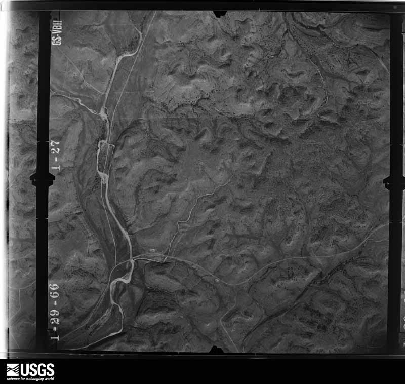
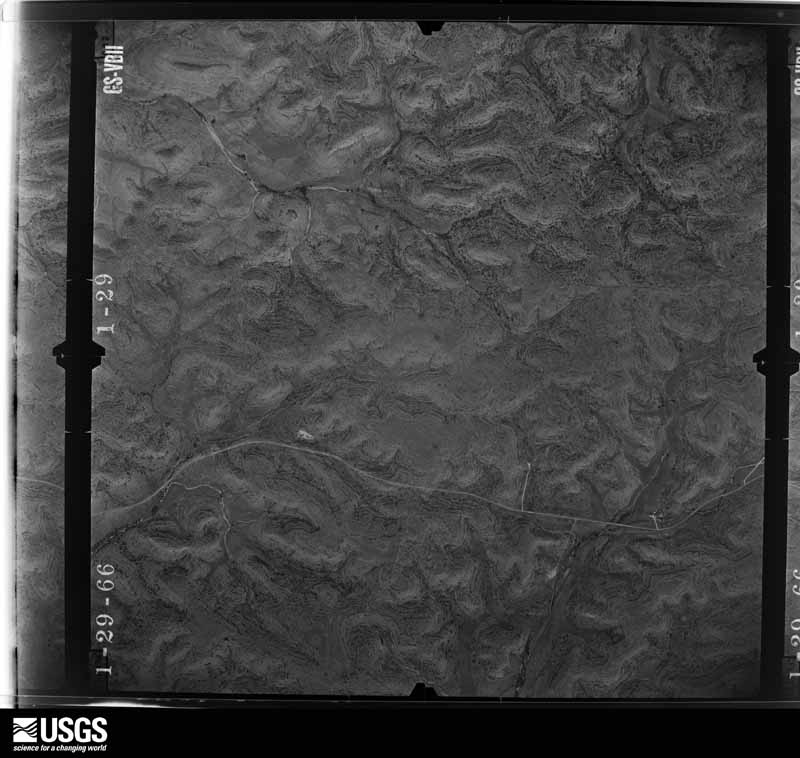
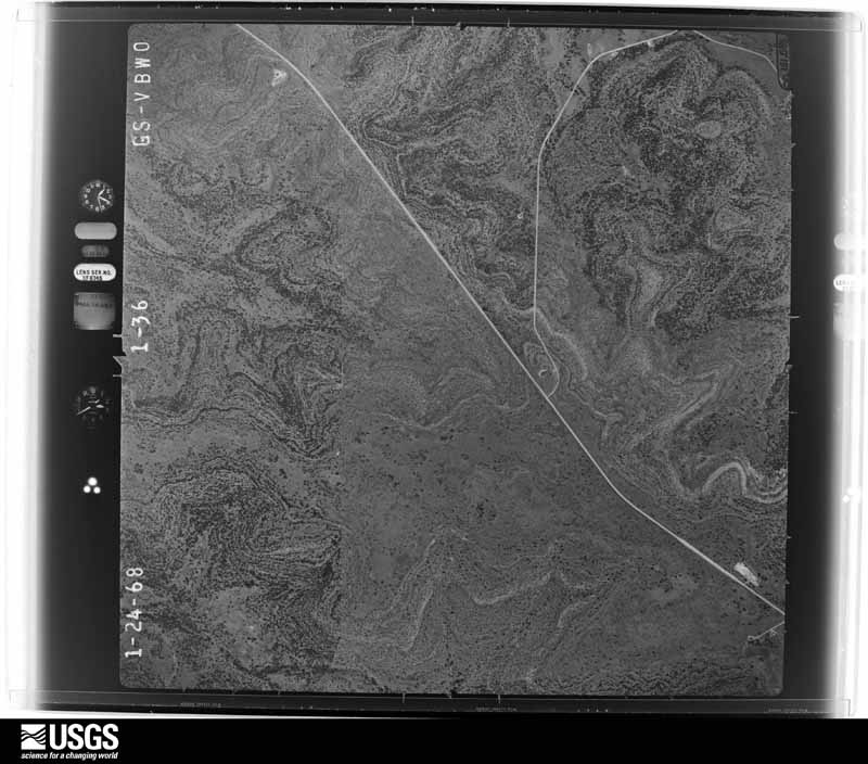
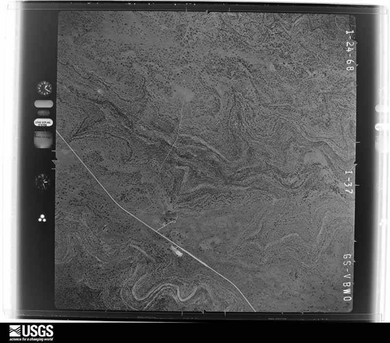
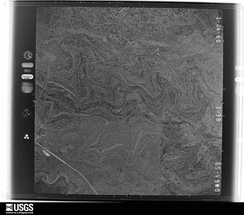
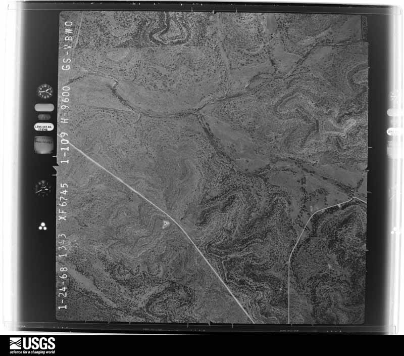
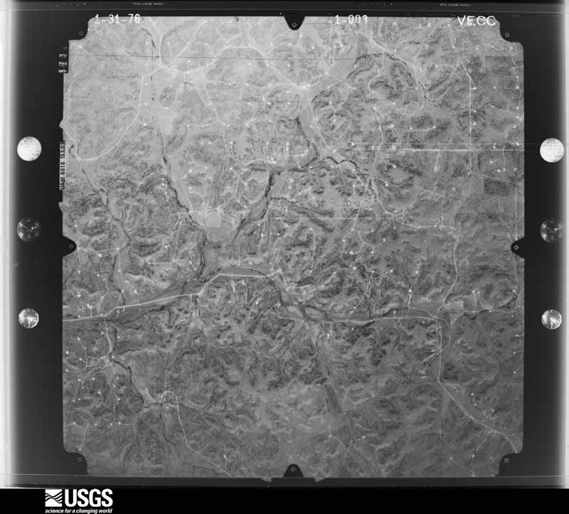
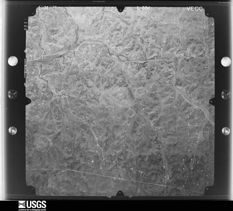
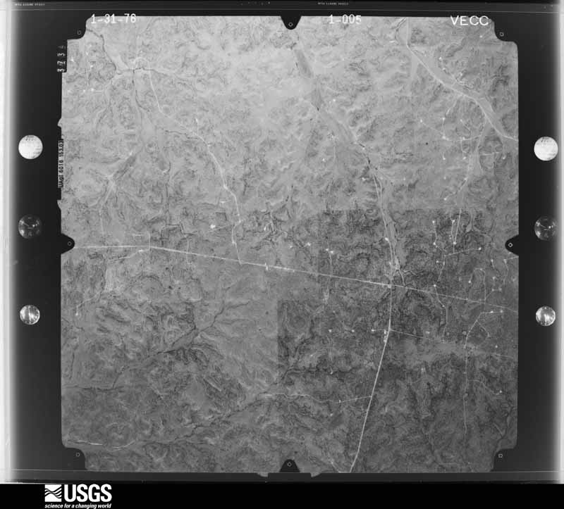
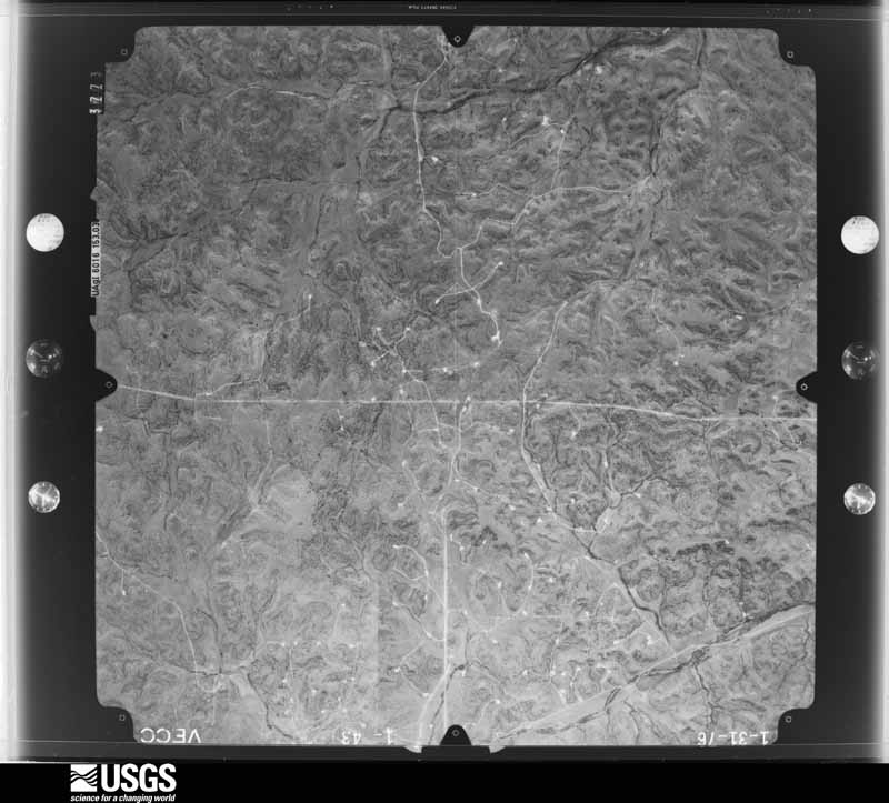
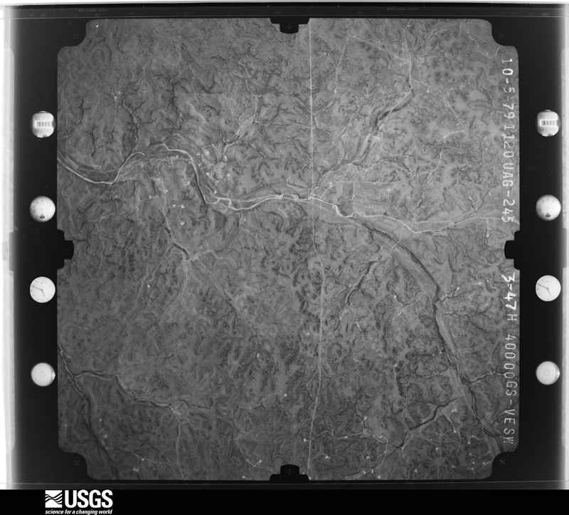
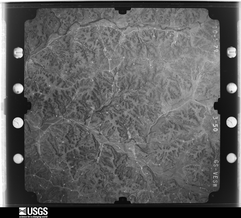
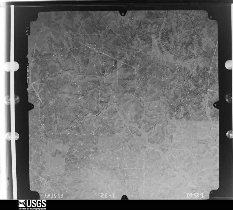
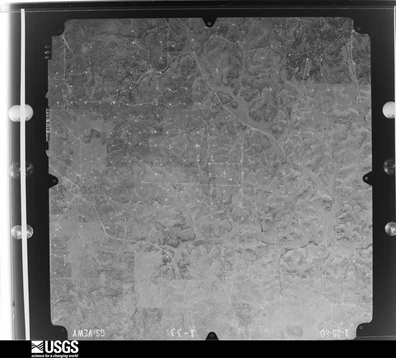
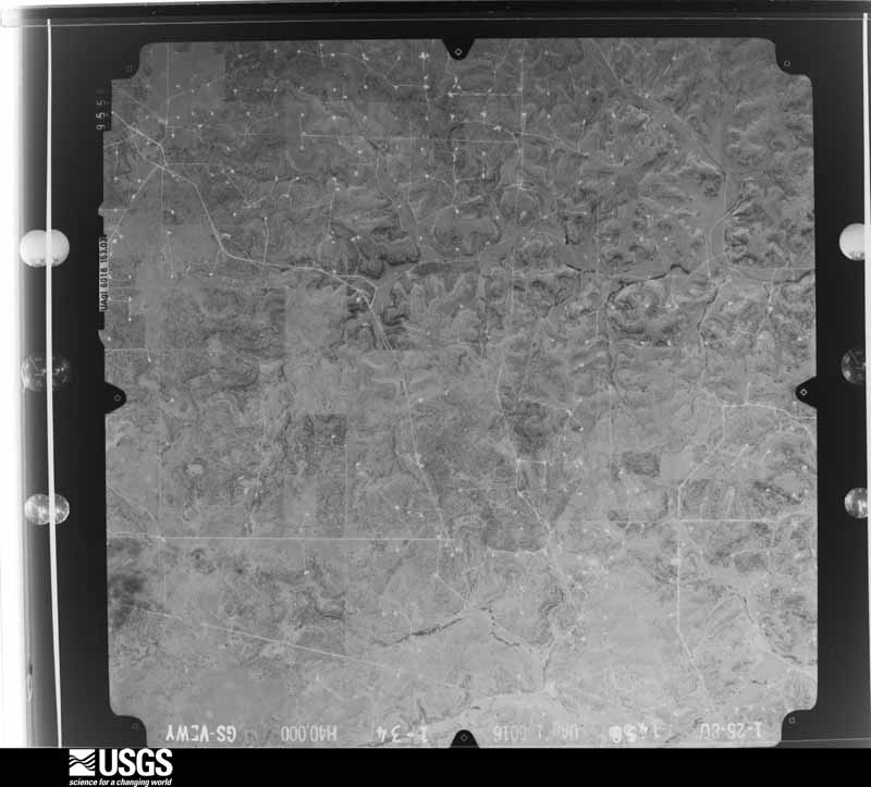
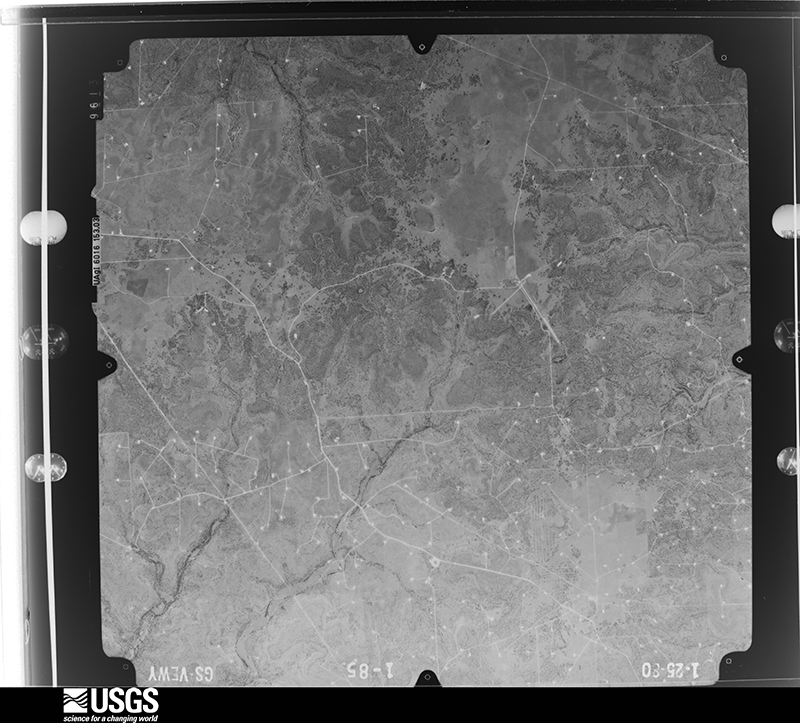
Flown by the U.S. Geological Survey between 1937 and 1989, the Aerial Photo Single Frames collection is the definitive mid-century view of the land: fields, roads and rivers as the camera saw them. The Survey holds 560 frames inside the rectangle that bounds this county; the 36 frames below were taken over the county itself, chosen across the decades of flights (at most four a year from that rectangle), so one flight cannot crowd out the rest. The full set is free to browse and download at EarthExplorer under the dataset Aerial Photo Single Frames.












The thermometers that kept this county's weather, as the federal records hold them. The extremes below are measured values from those records, not estimates.
Who lived here in 1950, one enumeration district at a time, as the Census Bureau described each district. Each row opens its official National Archives result, with Population Schedules and ED Maps available there.
Every wildfire the federal occurrence database records inside this county: 39 of them, burning about 42,326 acres. 16 started naturally and none was recorded as arson. Each settlement page carries the fires within five miles of it.
| Reported cause | Fires |
|---|---|
| Natural | 16 |
| Equipment and vehicle use | 9 |
| Missing data/not specified/undetermined | 8 |
| Debris and open burning | 5 |
| Power generation/transmission/distribution | 1 |
The five largest, by the area the report gives. None of them was recorded as arson.
| Date | Cause | Size | Reported by | Name on the report |
|---|---|---|---|---|
| 2 August 2015 | Equipment and vehicle use | 8,500 acres | Texas A & M Forest Service | FORT MCKAVETT COMPLEX |
| 11 June 2020 | Equipment and vehicle use | 6,006 acres | Texas A & M Forest Service | ARROYO GRANDE |
| 15 August 2020 | Natural | 3,937 acres | Texas A & M Forest Service | MCMEAN |
| 29 August 2009 | Natural | 2,445 acres | Texas A & M Forest Service | MOORE RANCH 2 |
| 26 March 2011 | Debris and open burning | 2,439 acres | Texas A & M Forest Service | MAYNARD CREEK FIRE |
| 15 August 2019 | Natural | 2,409 acres | Texas A & M Forest Service | CAVERNS ROAD |
| 13 April 2011 | Missing data/not specified/undetermined | 2,307 acres | Texas A & M Forest Service | MCPHERESON FIRE |
| 3 January 2008 | Debris and open burning | 1,950 acres | Texas A & M Forest Service | ROCKY FORD RANCH FIRE |
Every settlement page carries the fires within five miles of it - see the settlement index below.
The NOAA Storm Events Database holds 135 reports for this county, causing no deaths, no injuries and about $16,269,750 in recorded property damage. Each settlement page carries the reports that name it.
| Kind of event | Reports |
|---|---|
| Hail | 66 |
| Flash Flood | 41 |
| Thunderstorm Wind | 18 |
| Tornado | 5 |
| Flood | 3 |
| Lightning | 1 |
| Heavy Rain | 1 |
The most serious of them, by death, then injury, then recorded damage. The accounts are quoted exactly as the forecast office filed them.
| When | Event | Place named | Harm | What the report says |
|---|---|---|---|---|
| September 2018 | Flash Flood | Sonora | $8,000,000 | Very heavy rain of eight plus inches fell north of Sonora in the vicinity of thirteen uncontrolled dams north of Sonora. Sites 1-8 are on the Dry Devils River and Sites 9-13 are on Lowrey Draw. As these dams filled, flood waters overflowed the spillways into the draws. This was the first time (as far as anyone knows) the emergency spillways were activated for some of these dams. There were no breaches, these structures worked as they were meant to function. Normally these structures would help mitigate flooding in Sonora, but previous rains had already filled up many of the sites. ||One of the deputies saw a wall of water come down the Dry Devil's Draw just north of Sonora at about 1 PM CDT near U.S. 277. This wall of water flooded many homes located near the Dry Devil's Draw in Sonora shortly after 1 PM CDT. Flood waters even flowed over the US 277 bridge on the south side of Sonora. The depth of this wall of water is estimated at around 25 feet. The flood waters cut off the city of Sonora from neighboring first responders in all directions who wanted to help. Emergency management reported about 250 homes were either damaged or destroyed. |
| October 2002 | Flash Flood | South Portion | $5,000,000 | A cold front moved through the area during the overnight hours on October 6th. This front stalled over southern Texas combined with an upper level storm system over the Southwestern U.S. and produced 4 to 7 inches of rain in the southern portion of Sutton County. Several streams quickly overflowed their banks. Three people narrowly escaped as their research vehicle was swept away when they crossed a flooded road. They had to be rescued by helicopter. |
| October 2002 | Flash Flood | Countywide | $3,000,000 | Heavy rains of 2 to 4 inches during the morning hours of the 8th aggravated already high creeks and streams over much of Sutton County. Numerous roads were closed due to high water and road washouts.Rainfall totals over the past couple of days were 6 to 10 inches. |
| June 1997 | Hail | Sonora | $100,000 | no account filed |
| April 2009 | Thunderstorm Wind | Sonora | $50,000 | There was some wind and hail damage reported in and around Sonora. |
| May 1995 | Thunderstorm Wind | Sonora | $30,000 | Severe thunderstorms, mainly consisting of large hail on the 6th and 7th, caused limited property and crop damage in West Texas. However, high winds south of Ozona damaged outbuildings and a shed. Strong winds also destroyed a large metal storage shed in Lynn County on the 7th. Small trees were uprooted and a barn was damaged by a tornado in northeast Concho County. |
| June 1997 | Flash Flood | Sonora | $25,000 | Up to three inches of rain fell over southeastern Sutton County. |
| September 1996 | Flash Flood | Sonora | $25,000 | no account filed |
| August 1999 | Lightning | Sonora | $20,000 | Lightning struck a house located about 15 miles west of Sonora. The resulting fire destroyed approximately 40 percent of the house, including the attic and several other rooms. |
| October 2002 | Flash Flood | Southwest Portion | $12,000 | Heavy rains during the morning hours of the 24th dumped 2 to 4 inches of additional rain on already saturated soils. This produced significant flooding in the southwestern portion of Sutton County. Roads were once again impassible for the third time in the past month. |
| October 2000 | Tornado (F0) | Sonora | $5,000 | A tornado briefly touched down in extreme southeast Sutton County, toppling a few trees and causing minor structural damage. |
| March 2004 | Thunderstorm Wind | Sonora | $2,000 | Several trees were blown down by strong thunderstorm winds. |
| March 1993 | Hail | Sonora | $500 | The Sonora EOC reported golfball-size hail in Sonora. Only minor damage was noted. |
| May 1991 | Tornado (F1) | not stated | $250 | no account filed |
| March 2026 | Thunderstorm Wind | Sonora | - | Public reported sheds damaged and metal roof material thrown onto a power line in Sonora. Time estimated by radar. |
| May 2025 | Hail | Sonora | - | Public report from social media of quarter size hail covering the ground at the rest stop west of Sonora. |
| July 2025 | Flash Flood | Sonora | - | Law enforcement reported cars stalled on Interstate 10 due to flooding. |
| July 2025 | Flash Flood | Sonora | - | Law enforcement reported flood waters were getting close to flooding homes on the south side of Sonora. |
| July 2025 | Flash Flood | Sonora | - | Law enforcement reported cars stalled on Interstate 10, 5 miles east of Sonora, due to flooding. |
| July 2025 | Flash Flood | Sonora | - | The Sutton Country Sheriff's Office reported flooding and road closures on parts of CR 864, CR 1691, CR 307, and CR 310. In addition, streets in and around Sonora are flooded as well. |
| July 2025 | Flash Flood | Sonora | - | The Sutton County Emergency Manager reported that homes were being evacuated in Sonora due to flooding. |
| August 2025 | Thunderstorm Wind | Sonora | - | NWS storm survey of wind damage to a wool warehouse. Significant wind damage to the metal roof of the warehouse. Winds were estimated at 85 mph based on the roof damage to the warehouse. |
| August 2025 | Thunderstorm Wind | Sonora | - | The Sutton County Sheriff's Office reported numerous roofs blown off, electrical power poles down, and numerous large trees down just south of Sonora off of U.S. HWY 277. |
| September 2025 | Flash Flood | Sonora | - | The Sutton County Emergency Manager reported that multiple low water crossings around the city had 1 to 3 feet of flowing water and barricades were placed at these low water crossings. |
| June 2024 | Thunderstorm Wind | Sonora | - | Law enforcement reported that trees and large tree limbs were blown down and shingles were blown off roofs. |
| June 2024 | Hail | Sonora | - | Public reported golf ball size hail. |
| November 2024 | Thunderstorm Wind | Sonora Allison Arpt | - | A mesonet station measured a 58 mph wind gust. |
| October 2023 | Flood | Sonora | - | There was some flooding in Sonora. |
| April 2021 | Hail | Sonora | - | A report from Facebook indicated golf ball size hail fell about 5 miles north of Sonora. |
| May 2021 | Hail | Sonora | - | The public measured hail at least 2.25 inches in diameter in southern Sutton County. |
| April 2019 | Hail | Sonora | - | A picture of quarter size to half dollar size hail was received via social media. |
| May 2019 | Hail | Sonora | - | The public reported baseball size hail 12 miles east of Sonora. |
| May 2019 | Flash Flood | Sonora | - | The Sutton County Sheriffs office reported a foot of water over Cusenbary Road and County Road 405. |
| May 2018 | Hail | Sonora | - | The broadcast media shared pictures via Twitter of golf ball size hail near Sonora. The time of the event is based on radar. |
| September 2018 | Flash Flood | Sonora Allison Arpt | - | Law Enforcement reported flooding across Interstate 10 at Mile Marker 392. Interstate 10 was closed west of Sonora. US Highway 277 north of Sonora was also closed due to flooding. |
| October 2018 | Flood | Sonora | - | TxDOT reported Ranch Road 864 and Ranch Road 189 in Sutton County closed due to flooding. |
| April 2016 | Hail | Sonora | - | A CoCoRaHS observer reported golf ball size hail just south of Sonora, causing broken windows and dents on vehicles. |
| June 2016 | Flood | Sonora | - | The Sutton County Sheriff's Office reported two road closures. Juno Road or Ranch Road 189 was closed at the intersection with U.S. Highway 277. Caverns Road or Ranch Road 1989 was closed near the intersection with Interstate 10. In addition, flooding was reported along two draws in the town of Sonora. Barricades were placed at Water Street and the draw, and also at the intersection of Oak and Tom Green Streets. Texas Department of Transportation reported standing water along the ditches of U.S. Highway 277 south of Sonora. |
| May 2016 | Hail | Sonora | - | Golf ball to baseball size hail damaged skylights of a residence. |
| May 2016 | Thunderstorm Wind | Sonora | - | Public reported 4 inch diameter Live Oak tree limbs were snapped off by damaging thunderstorm winds about 5 miles east of Sonora. |
| May 2016 | Thunderstorm Wind | Sonora | - | A trained spotter reported numerous tree branches down by damaging thunderstorm winds. |
| May 2015 | Hail | Sonora | - | A National Weather Service employee reported golf ball sized hail along Interstate 10 about 15.6 miles east of Sonora. |
| September 2013 | Flash Flood | Sonora | - | The Sheriff's Office reported Juno Highway or Ranch Road 189, located about 14 miles south of Sonora, was closed because of flooding. |
| September 2013 | Flash Flood | Sonora | - | The Sheriff's Office reported Bond Road or Ranch Road 1691, about 4 miles southeast of Sonora, was closed due to flooding. |
| September 2013 | Flash Flood | Sonora Allison Arpt | - | The Sutton County Sheriff's Office reported Caverns Road or Ranch Road 1989, located 10 miles west northwest of Sonora, was closed due to flooding. |
| September 2013 | Flash Flood | Sonora | - | U.S. Highway 277 located just south of Sonora was closed because of high water. |
| March 2012 | Hail | Sonora | - | Quarter size hail was reported four miles east of the intersection of the Caverns of Sonora Road and Ranch Road 189. |
| March 2012 | Hail | Sonora | - | Golf ball size hail was reported. |
| October 2011 | Flash Flood | Sonora Allison Arpt | - | The Sutton County Sheriff's Office reported flooding of several roads in Sutton County. Barricades were placed at flooded low water crossings. |
| June 2010 | Thunderstorm Wind | Sonora | - | Tree limbs were blown down at the KHOS Radio Station. |
| April 2009 | Flash Flood | Sonora | - | Law Enforcement and the city road crews reported 3 feet of water running over the roads in Sonora. County Road 202 just northeast of Sonora had a foot of water over the road. |
| March 2009 | Hail | Sonora | - | Penny to nickel size hail was reported. |
| April 2009 | Flash Flood | Sonora Allison Arpt | - | Texas Department of Transportation reports Ranch Market Road 1989 was closed along Granger Draw due to flooding and high water. Over one and a half feet of water was over the road. |
| April 2009 | Flash Flood | Sonora | - | Texas Department of Transportation indicates that Ranch Road 2597 was closed due to flooding at the intersection of Ranch Road 864. |
| April 2009 | Flash Flood | Sonora | - | Texas Department of Transportation indicated that Ranch Road 2596 was closed due to flooding in Sutton County at the First Draw which is located just past the intersection with Ranch Road 864. |
| April 2009 | Hail | Sonora | - | Hail just larger than golfballs covered the road on Highway 277. |
| May 2007 | Flash Flood | Sonora | - | A road that paralleled Interstate 10 just east of Sonora was flooded. |
| May 2007 | Flash Flood | Sonora | - | Texas Department of Transportation reported Farm to Market Road 2596 in northwest Sutton County was closed due to one foot or more of water over the road. |
| May 2007 | Tornado (EF0) | Sonora Allison Arpt | - | Tornado developed several miles west northwest of Sonora along Ranch Road 1312. The tornado paralleled the road for about a mile before dissipating. No damage was reported. |
| May 2007 | Flash Flood | Sonora | - | Highway 2129 was closed off of Loop 312 due to high water across the road. |
Named settlements recorded in the Geographic Names Information System, each with the topographic sheets covering it. Villages, hamlets and abandoned places alike. Each is shown with the nearest named watercourse or landform and the survey quadrangle it falls on.