 Block
BlockWard County, Texas
25 topographic sheets cover 8 settlements here.
Research this county
What the record shows
- 66 topographic sheet readings cover the county's settlements.
- The Geographic Names Information System records 8 populated places in this county; 8 are covered by at least one topographic sheet.
The county from the air
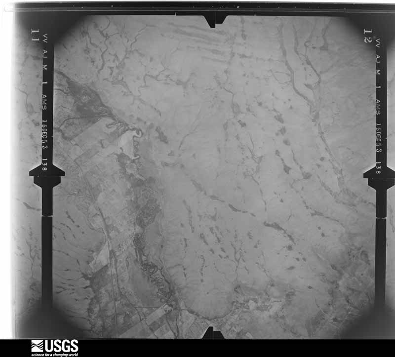
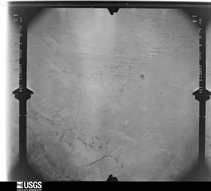
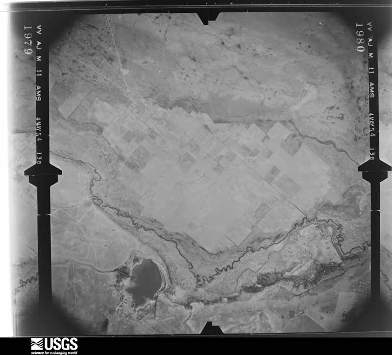
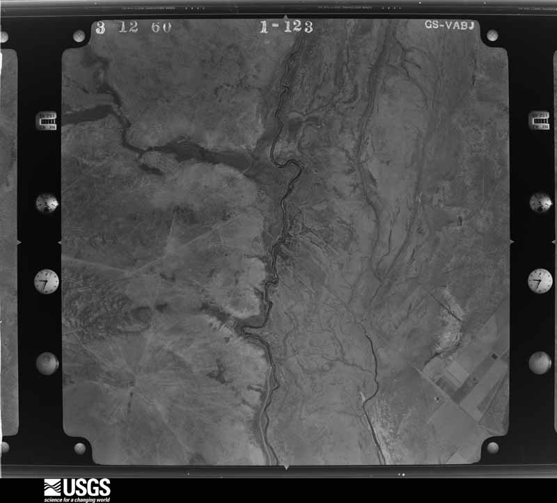
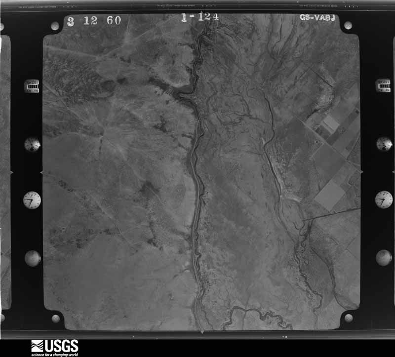
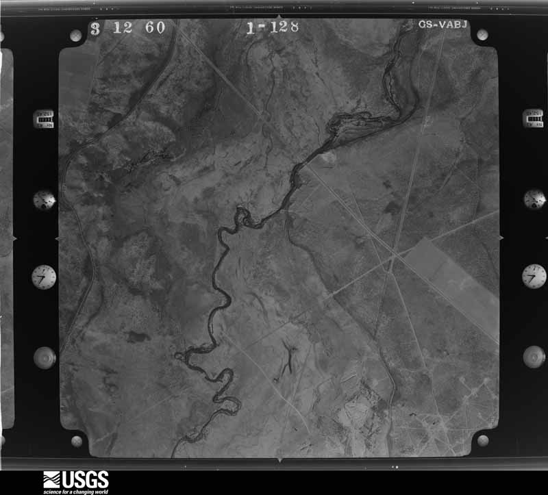
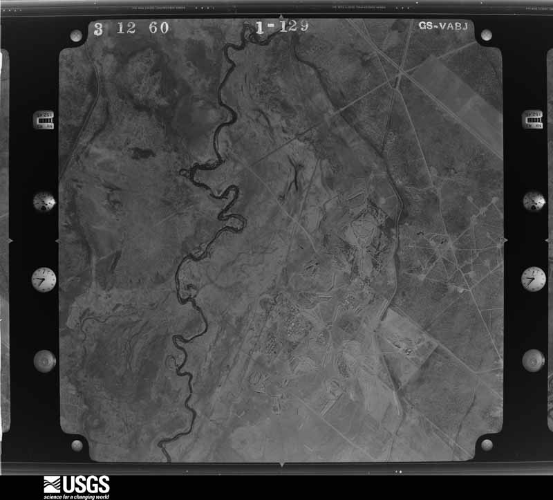
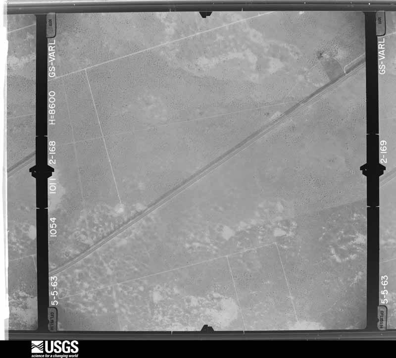
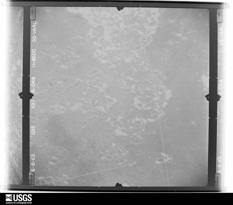
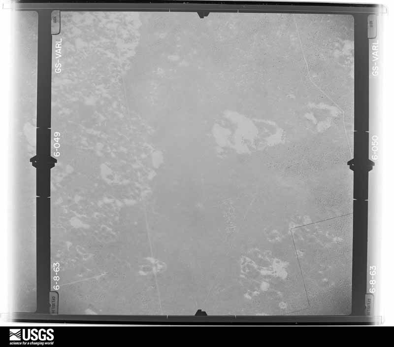
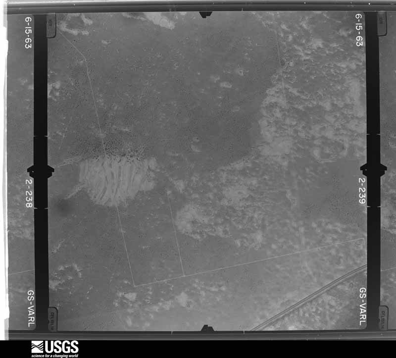
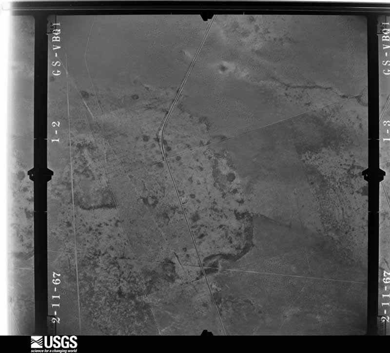
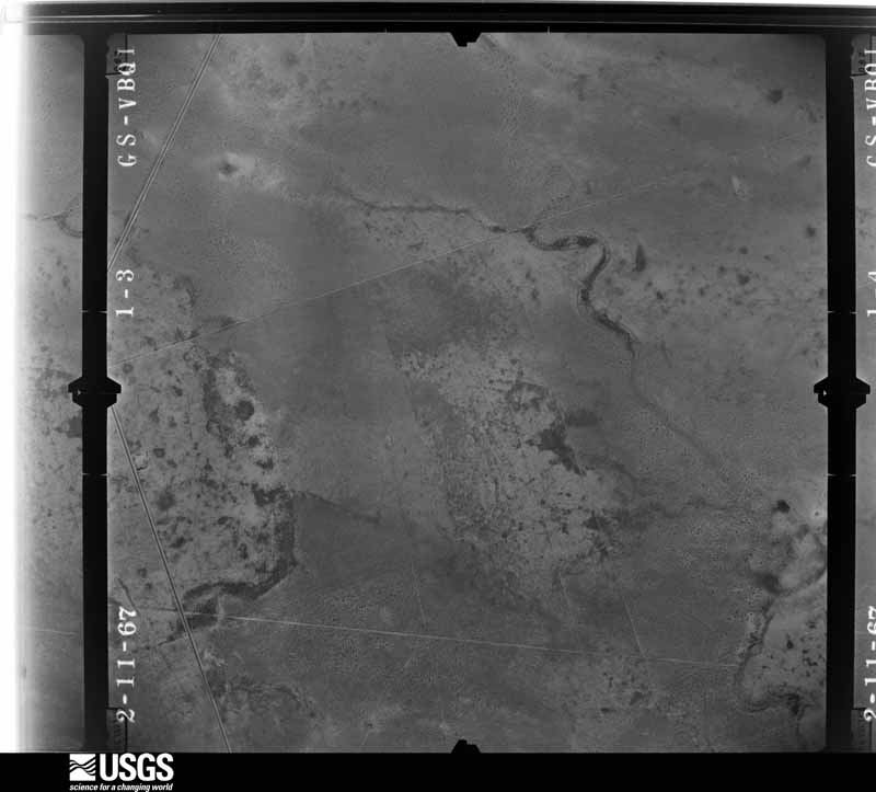
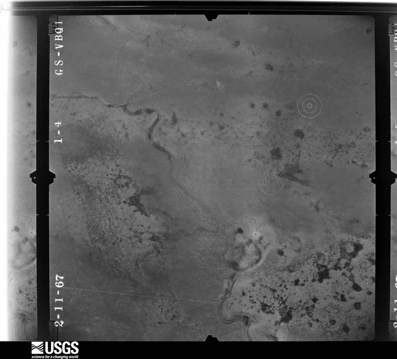
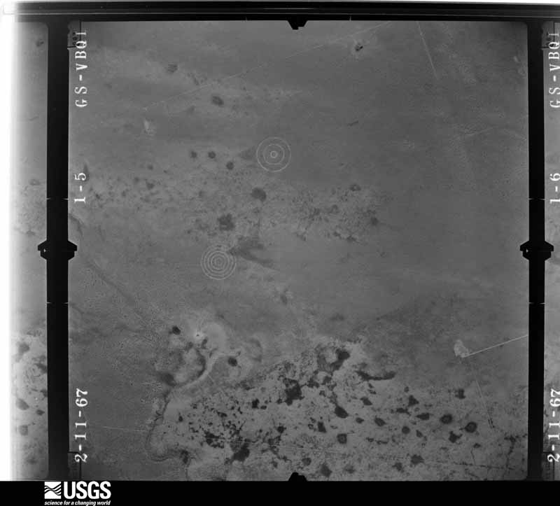
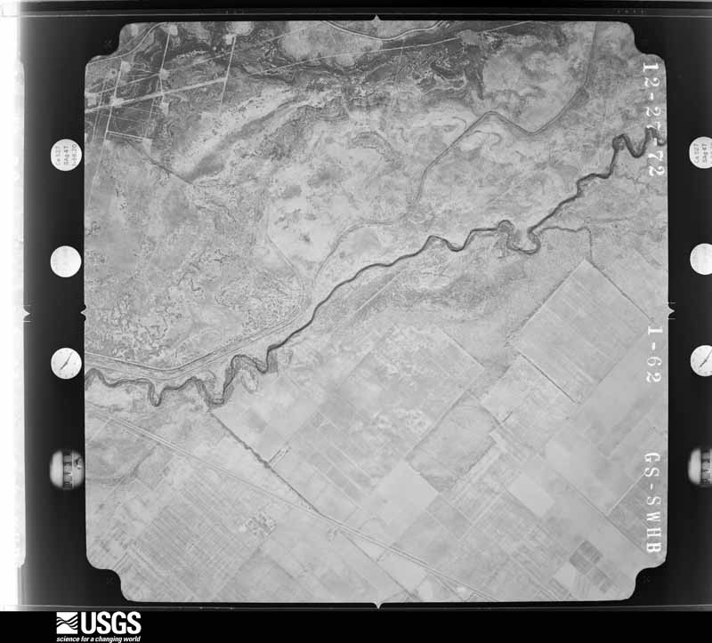
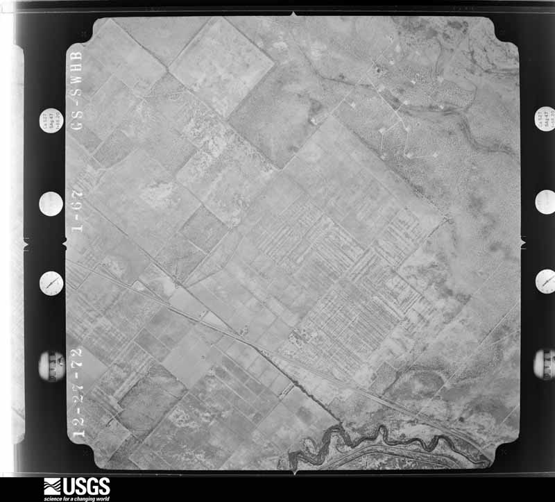
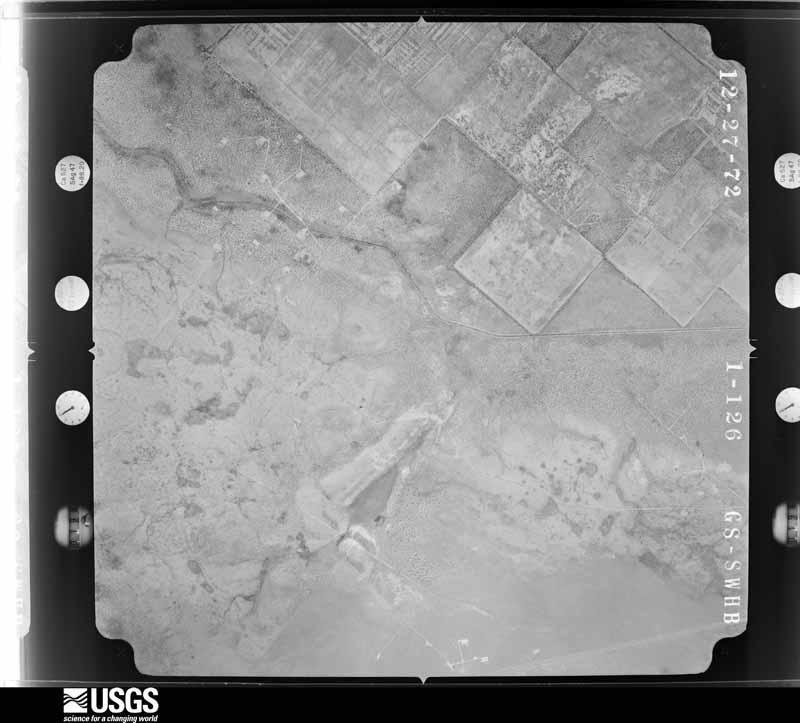
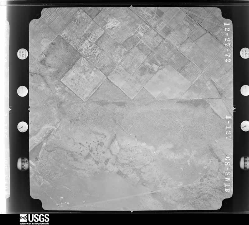
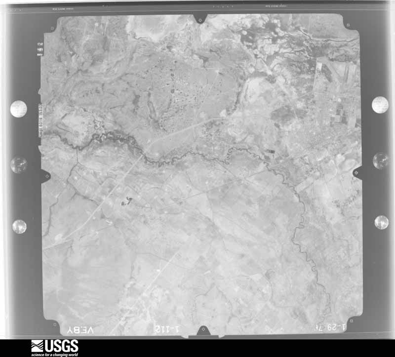
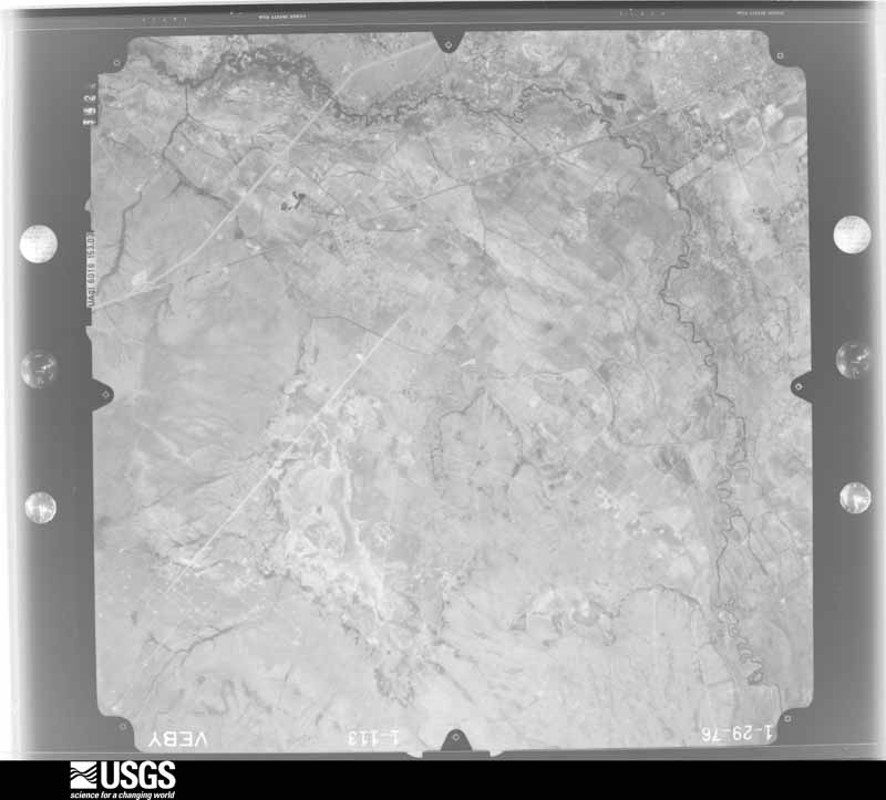
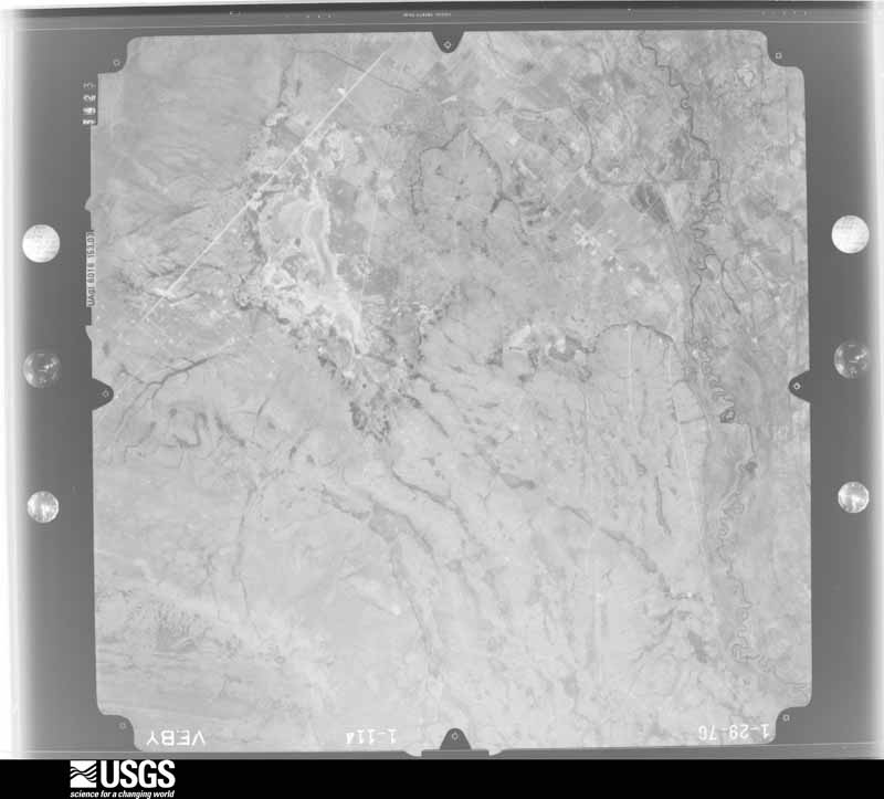
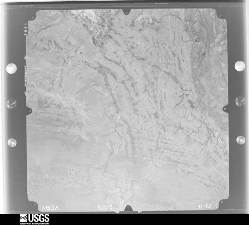
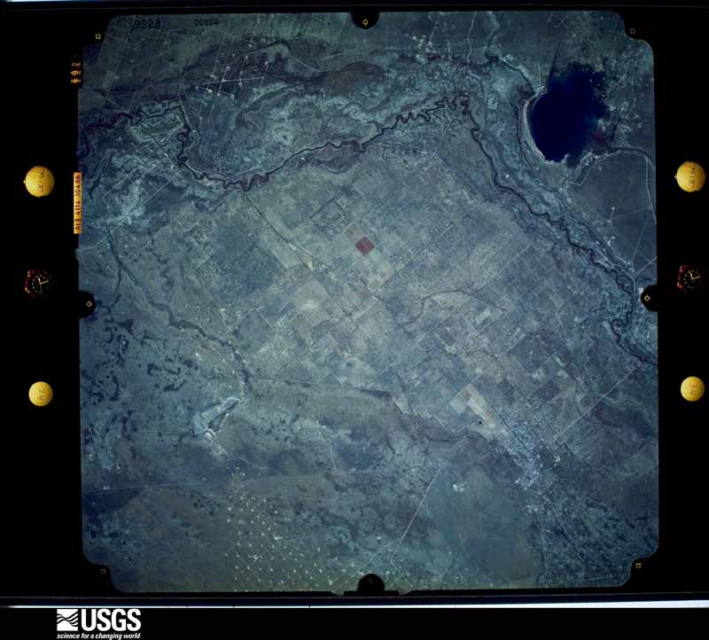
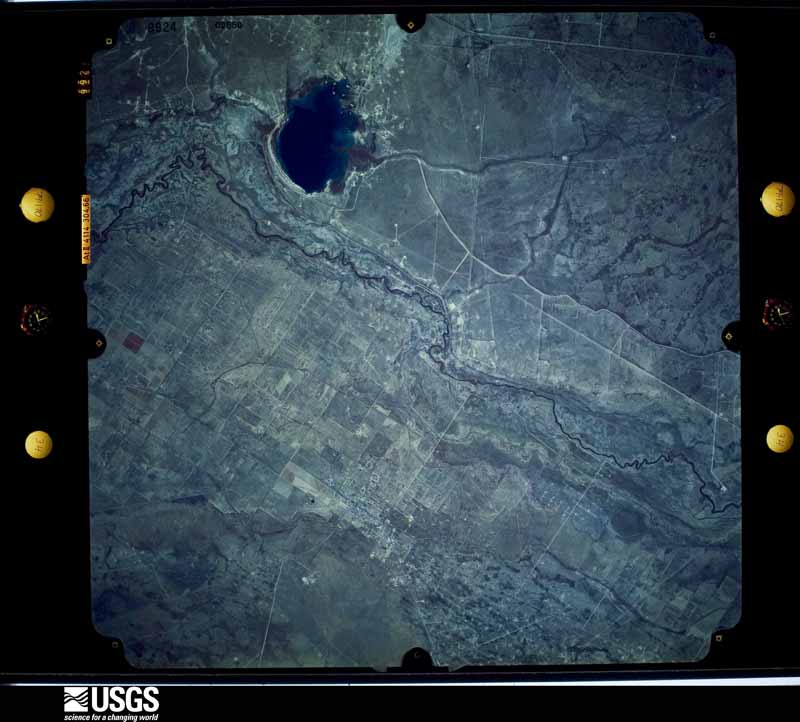
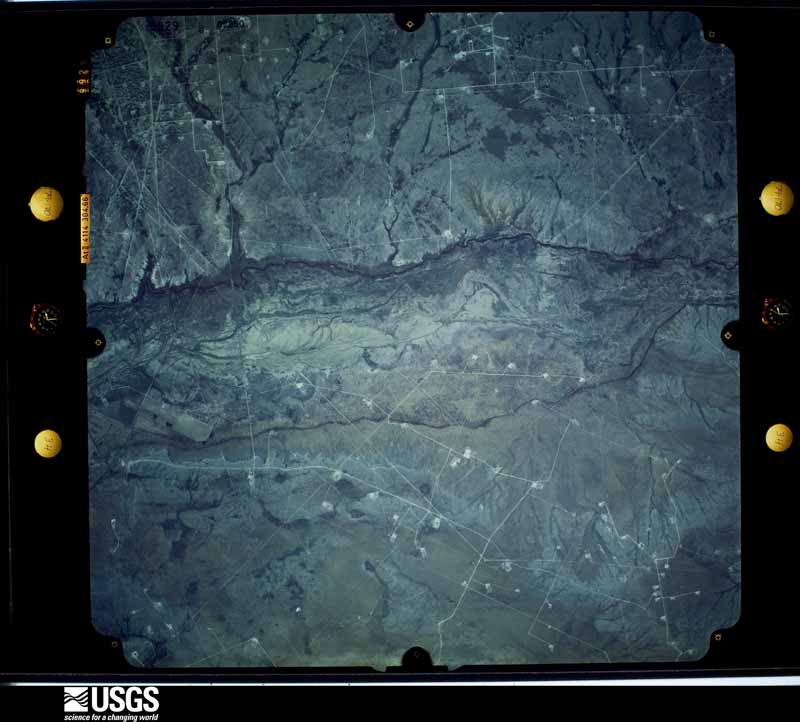
33 shownFlown by the U.S. Geological Survey between 1937 and 1989, the Aerial Photo Single Frames collection is the definitive mid-century view of the land: fields, roads and rivers as the camera saw them. The Survey holds 1,144 frames inside the rectangle that bounds this county; the 33 frames below were taken over the county itself, chosen across the decades of flights (at most four a year from that rectangle), so one flight cannot crowd out the rest. The full set is free to browse and download at EarthExplorer under the dataset Aerial Photo Single Frames.







Weather records
5 stations, 7 gagesThe thermometers that kept this county's weather, and the gages that measured the flow of its streams, as the federal records hold them. The extremes below are measured values from those records, not estimates.
- MONAHANS 1 NW 1900 to 1953, hottest 41.7 C, coldest -18.3 C
- BARSTOW 1906 to 1919, hottest 45.6 C, coldest -20.0 C
- GRANDFALLS 3SSE 1909 to 2015, hottest 47.2 C, coldest -22.8 C
- MONAHANS 1959 to 2009, hottest 48.9 C, coldest -22.8 C
- MONAHANS 6 ENE 2003 to 2026, hottest 44.9 C, coldest -15.6 C
- Pecos Rv nr Grandfalls, TX 1916 to 1926
- Ward County ID No. 1 Canal nr Barstow, TX 1922 to 1990
- Grandfalls-Big Valley Canal nr Barstow, TX 1939 to 1976
- Pecos Rv bl Barstow, TX 1939 to 1940
- Ward County WID No. 2 Canal nr Grandfalls, TX 1939 to 1990
- Ward County WID No. 3 Canal nr Barstow, TX 1939 to 1990
- Pecos Rv at RR 1776 nr Grandfalls, TX 2007 to 2026
The 1950 census, district by district
16 districtsWho lived here in 1950, one enumeration district at a time, as the Census Bureau described each district. Each row opens its official National Archives result, with Population Schedules and ED Maps available there.
- 238-1Justice Precinct 1: Barstow town
- 238-2Justice Precinct 1 - That part outside Barstow town
- 238-3Justice Precinct 2: Monahans city: Monahans city - That part Bounded by City limits; City limits; Texas & Pacific Railroad; Minor, State Highway 82, City limits
- 238-4Justice Precinct 2: Monahans city - That part Bounded by State Highway 82; Minor; Texas and Pacific Railway; City limits
- 238-5Justice Precinct 2: Monahans city - That part Bounded by Texas and Pacific Railway; Pope; City limits; City limits
- 238-6Justice Precinct 2: Monahans city - That part Bounded by Texas and Pacific Railway; Minor; Hill, Guadalupe, Hayes; Pope
- 238-7Justice Precinct 2: Monahans city - That part Bounded by Texas and Pacific Railway; City limits; City limits, Hall; Minor
- 238-8Justice Precinct 2: Monahans city - That part Bounded by Hall; City limits; City limits; State Highway 82
- 238-9Justice Precinct 2: Monahans city - That part Bounded by Hayes, Guadalupe, Hill; Minor, State Highway 82; City limits; Pope
- 238-10Justice Precinct 2: Wickett, unincorporated Bounded by Offset line 3/4 mile north of U.S. Highway 80; Offset line 1/4 mile east of Unnamed road; U.S. Highway 80; Precinct line
- 238-11Justice Precinct 2 - That part outside Monahans city and the unincorporated place of Wickett (See separate mar for boundaries of Wickett)
- 238-12Justice Precinct 3: Grandfalls town
- 238-13N/A
- 238-14Justice Precinct 3 - That part west of State Highway 82, outside Grandfalls town
- 238-15Justice Precinct 4: Justice Precinct 4 - That part excluding Pyote Air Force Base
- 238-16Pyote Air Force Base (In Justice Precinct 4)
Wildfire, 2004 to 2020
292 firesEvery wildfire the federal occurrence database records inside this county: 292 of them, burning about 37,331 acres. 36 started naturally and 3 were recorded as arson. Each settlement page carries the fires within five miles of it.
| Reported cause | Fires |
|---|---|
| Equipment and vehicle use | 135 |
| Missing data/not specified/undetermined | 62 |
| Natural | 36 |
| Power generation/transmission/distribution | 24 |
| Debris and open burning | 15 |
| Railroad operations and maintenance | 10 |
| Misuse of fire by a minor | 4 |
| Smoking | 3 |
| Arson/incendiarism | 3 |
The five largest, by the area the report gives. None of them was recorded as arson.
| Date | Cause | Size | Reported by | Name on the report |
|---|---|---|---|---|
| 10 April 2008 | Missing data/not specified/undetermined | 16,000 acres | Texas A & M Forest Service | ELLISON FIRE |
| 15 November 2010 | Equipment and vehicle use | 4,000 acres | Texas A & M Forest Service | ARMSTRONG/ FRANKS COMPLEX |
| 11 April 2009 | Power generation/transmission/distribution | 4,000 acres | Texas A & M Forest Service | CRIDER RANCH FIRE |
| 23 August 2020 | Railroad operations and maintenance | 1,309 acres | Texas A & M Forest Service | 8889 |
| 4 March 2011 | Power generation/transmission/distribution | 1,200 acres | Texas A & M Forest Service | 7 |
| 25 February 2008 | Railroad operations and maintenance | 966 acres | Texas A & M Forest Service | not named |
| 12 July 2006 | Missing data/not specified/undetermined | 896 acres | Texas A & M Forest Service | 427 |
| 25 August 2006 | Natural | 800 acres | Texas A & M Forest Service | not named |
Every settlement page carries the fires within five miles of it - see the settlement index below.
Storms, 1958 to 2026
60 of 244 shownThe NOAA Storm Events Database holds 244 reports for this county, causing no deaths, 20 injuries and about $3,545,530 in recorded property damage. Each settlement page carries the reports that name it.
| Kind of event | Reports |
|---|---|
| Hail | 151 |
| Thunderstorm Wind | 56 |
| Tornado | 16 |
| Flash Flood | 16 |
| Lightning | 4 |
| Flood | 1 |
The most serious of them, by death, then injury, then recorded damage. The accounts are quoted exactly as the forecast office filed them.
| When | Event | Place named | Harm | What the report says |
|---|---|---|---|---|
| April 1977 | Tornado (F3) | not stated | 18 hurt, $2,500,000 | no account filed |
| June 1997 | Lightning | Grandfalls | 1 hurt | A 16 year old male received an indirect lightning strike. He was taken to Ward Memorial Hospital in Monahans and transferred to Odessa Medical Center for testing, and was released late that night. The boy and his mother were walking across their porch leaving the house when lightning struck a metal pipe along the side of the house. The boy was struck in the head by a glancing blow from the bolt, knocked to the ground, but sustained no burns. He was dazed but never lost consciousness; he said he remembered feeling the shock as the bolt went through his body. They said the lightning came seemingly from nowhere as all the previous thunder had seemed quite distant. Light rain was falling at the time of the incident. |
| July 1989 | Thunderstorm Wind | not stated | 1 hurt | no account filed |
| March 2000 | Tornado (F0) | Wickett | $300,000 | A supercell storm moving to the northeast spawned a weak tornado that moved straight north through the heart of Wickett. With the weak nature of the tornado and lack of targets outside of the city, the exact starting and ending points of the tornado could not be determined.Damage included one abandoned mobile home that was overturned and destroyed, several carports and other low-grade roofs dislodged, and utility poles/lines downed. With little structural damage to any substantial dwellings, this tornado was rated in the high end of the F0 category. Vectors into the center of the damage converged at a 90 degree angle.This mesocyclone quickly occluded after exiting Wickett, with the following mesocyclone producing another weak tornado in western Ector County. |
| June 2021 | Thunderstorm Wind | Monahans | $200,000 | A thunderstorm moved across Ward County and produced wind damage south of Monahans. The damage swath included metal roofs/carports lifted or bent, downed tree branches between one to three inches in diameter, and several damaged travel trailers. The damage was generally oriented in an easterly direction. After re-analysis of radar data, the damage was determined to be the result of a microburst that occurred at approximately 9:15 pm CDT. The survey team estimated the peak wind speeds to be between 75 to 85 mph. The cost of damage is a very rough estimate. |
| September 2004 | Thunderstorm Wind | Grandfalls | $75,000 | Strong to severe thunderstorms over Pecos County spawned a left moving (anticyclonic) severe storm that rapidly propagated over the town of Grandfalls. Quarter to golfball size hail was reported in addition to damaging winds. Five power poles were snapped along State Route 11 just southeast of town. In town, an abandon mobile home was rolled by the winds and destroyed while the roof of another mobile home in the southwest portions of the community was blown onto a nearby pickup truck. Several trees were uprooted and a historic church also sustained serious roof damage.A damage survey conducted by the National Weather Service concluded that the severe winds that produced the damage was uniform in direction, blowing debris from the southwest to the northeast. The damage swath covered an area three miles wide. These observations were consistent with the occurrence of a large downburst, or macroburst. |
| March 2020 | Tornado (EF1) | Barstow | $50,000 | A thunderstorm developed over western Reeves County and moved northeast into Ward County. It produced a bowl-shaped tornado just north of Barstow. The tornado developed about a mile northwest of Barstow at the intersection of County Road 140 and 145 and only lasted for about a minute. Power flashes were reported along with damage to northern portions of Barstow. The tornado snapped a utility pole before moving and hitting an RV park. Damage at the park included flipping a trailer on its side, damaging a pickup truck, and causing light damage to three other trailers. Wind speeds were estimated at 100 mph from the damage observed by the NWS survey team which helped classify the tornado as an EF-1. In addition to the damage observed by the survey team, spotters and the public provided visual evidence that a tornado occurred. The path length of the tornado was 0.47 miles and the path width was 20 yards. The cost of damage is a very rough estimate. |
| June 2003 | Thunderstorm Wind | Monahans | $50,000 | Severe thunderstorm winds resulted in several roofs being blown off of businesses in Monahans, including the Boys and Girls Club. In addition, a new radio antenna tower which was installed by the city just nine months prior to the storm was blown down and destroyed. |
| September 2002 | Thunderstorm Wind | Monahans | $50,000 | Local media reported that a large transmitter tower was blown down near Monahans by severe thunderstorm winds. |
| May 2025 | Thunderstorm Wind | Monahans | $35,000 | A report was received from the public of a small camper trailer destroyed due to strong winds south of I-20 in Monahans. Additionally, a semi-trailer was flipped, and damage to a personal vehicle and home was also reported due to both hail and damaging winds. The time of occurrence was estimated by radar. The wind speed was estimated to be around 80 mph based on the damage, and the cost of property damage was also estimated. |
| May 2005 | Lightning | Barstow | $35,000 | A lightning strike sparked an early morning residential fire in Barstow. No injuries were reported. |
| September 2004 | Hail | Grandfalls | $25,000 | Law enforcement officials reported quarter to golfball size hail in Grandfalls. Minor damage to vehicles was reported. |
| September 2004 | Flash Flood | Monahans | $25,000 | Multiple reports from Monahans indicated that heavy rainfall produced flash flooding that quickly inundated city streets and threatened several residences. Local law enforcement officials reported that city streets remained barricaded at 19:00 CST. Flood waters in the city receded by late evening. No major damage was reported. |
| August 2002 | Hail | Monahans | $25,000 | Numerous reports of large hail up to the size of golfballs were received from Monahans. Local newspaper reports indicated that several roofs and vehicles received damage due to the hail. |
| July 2005 | Thunderstorm Wind | Barstow | $20,000 | The Pecos Free Press in Pecos reported that thunderstorm winds damaged several transmission poles and downed utility lines just south of Barstow. |
| June 1995 | Thunderstorm Wind | Monahans | $20,000 | A cluster of thunderstorms moving to the southeast from southeastern New Mexico formed into a bow echo as it moved into the city of Monahans. Winds of at least 60 mph occurred for up to 25 minutes. An unofficial 84 mph was clocked by a local resident. Many signs were blown down. A small barn was carried by the wind into power lines, resulting in local power outages. Most reports came from the sheriff's office and SKYWARN Spotters. |
| June 2004 | Hail | Monahans | $20,000 | no account filed |
| October 2005 | Thunderstorm Wind | Grandfalls | $15,000 | Thunderstorm winds downed three power poles, two of which were on Farm to Market Road 11, three miles east of Grandfalls. Another pole was on Farm to Market Road 872, half a mile south of that road's intersection with Farm to Market Road 11. |
| June 1998 | Thunderstorm Wind | Royalty | $12,000 | 14 Utility poles downed in the Royalty area. |
| August 2014 | Thunderstorm Wind | Monahans | $11,000 | A thunderstorm moved across Ward County and produced damage in Monahans. There were four to five telephone poles snapped, trees knocked over, a storage building turned on its side, and windows in mobile homes were broke. The cost of damage is a very rough estimate. |
| August 2004 | Thunderstorm Wind | Barstow | $10,000 | Severe thunderstorm winds blew the roof off of a barn in Barstow. |
| August 2002 | Lightning | Monahans | $10,000 | The local newspaper reported that lightning resulted in a minor house fire. Damage was restricted to the kitchen of the home. No injuries were reported. |
| May 2008 | Hail | Grandfalls | $10,000 | no account filed |
| May 2019 | Hail | Pyote | $5,000 | A thunderstorm moved across Ward County and produced tennis ball sized hail in Pyote. The hail resulted in broken wind shields. The cost of damage is a very rough estimate. |
| May 2008 | Thunderstorm Wind | Barstow | $5,000 | Thunderstorm winds ripped a roof off of a storage building. |
| June 2003 | Lightning | Barstow | $5,000 | Lightning struck a 300 foot radio antenna, knocking an FM radio station off the air. Some of the station's equipment was destroyed. |
| June 1996 | Thunderstorm Wind | Monahans | $5,000 | no account filed |
| March 2019 | Hail | Barstow | $4,000 | A thunderstorm moved across Ward County and produced baseball sized hail six miles north of Pecos. The hail destroyed a vehicle. The cost of damage is a very rough estimate. |
| May 2005 | Thunderstorm Wind | Pyote | $4,000 | Local officials reported that severe thunderstorm winds blew down a utility pole in Pyote.During the early morning hours of the 26th, an organized line of convection evolved into a bow-shaped complex and propagated southeastward across the Upper Trans Pecos region of west Texas. A widespread swath of severe winds accompanied the bow over Loving, Ward, and Winkler Counties. Significant damage occurred in Loving County, where three trailer houses located at remote oil fields were destroyed by winds estimated at 80 MPH. Three oil field workers were injured. In addition, at least twenty-five power poles were blown down by the winds. |
| March 2019 | Hail | Pyote | $3,000 | A thunderstorm moved across Ward County and produced baseball sized hail seven miles north of Pecos. Baseball sized hail was observed along County Road 200 north of Pecos. The hail severely damaged a vehicle. The cost of damage is a very rough estimate. |
| August 2019 | Thunderstorm Wind | Barstow | $3,000 | A thunderstorm moved across Ward County and produced wind damage in Barstow. There were powerlines down in Barstow. The cost of damage is a very rough estimate. |
| May 1960 | Tornado (F0) | not stated | $2,500 | no account filed |
| July 2007 | Thunderstorm Wind | Royalty | $2,000 | Wind damage occurred in the city of Grandfalls, including the roofs blown off of two barns, which led to a wall failure of one of them. In addition, shingles were blown off several homes ansd several trees were downed. |
| July 2005 | Thunderstorm Wind | Barstow | $2,000 | The Pecos Free Press newspaper in Pecos reported that thunderstorm winds knocked down a concrete wall and blew a pitched roof off of a picnic table area at Community Center Park in Barstow. Other damage in Barstow included toppled trees and minor roof damage. |
| June 2003 | Thunderstorm Wind | Grandfalls | $2,000 | A large tree was blown down. In addition, an empty but very large tank on the city's water tower was moved a small distance. |
| June 2021 | Flash Flood | Monahans | $1,000 | Heavy rain resulted in flash flooding near Monahans. There was flooding reported by law enforcement on 45th and Loop Road. Power poles that were laying on the ground were reported to be floating near the roadway. The cost of damage is a very rough estimate. |
| May 2015 | Thunderstorm Wind | Grandfalls | $1,000 | A thunderstorm moved across Ward County and produced wind damage in Grandfalls. The winds caused a 20 foot tree to split in half. The cost of damage is a very rough estimate. |
| September 2014 | Flash Flood | Pyote | $1,000 | Heavy rain fell across Ward County and produced flash flooding in Pyote. Water was several feet deep over Farm to Market road 2355 in Pyote. The cost of damage is a very rough estimate. |
| May 1995 | Hail | Monahans | $1,000 | Sheriff's office reported golf ball-size hail just south of Monahans. |
| September 2014 | Flash Flood | Monahans | $500 | Heavy rain fell across Ward County and produced flash flooding in Monahans. Two to three feet of water was reported over some of the roads on the south side of Monahans. The cost of damage is a very rough estimate. |
| May 1994 | Hail | Monahans | $500 | no account filed |
| May 1974 | Tornado (F1) | not stated | $30 | no account filed |
| February 2026 | Hail | Monahans | - | The public sent a photo of quarter-sized hail in Monahans. The total time of occurrence is partially estimated from radar. |
| May 2025 | Thunderstorm Wind | Pyote Wilson Arpt | - | The Mesonet station FW9693 Pyote measured a 66 mph wind gust 10 miles west-northwest of Pyote. |
| May 2025 | Thunderstorm Wind | Barstow | - | The UPR Mesonet station UR222 2.8 NE Pecos recorded a 60 mph wind gust. |
| May 2025 | Hail | Monahans | - | A video shared by the public shows a large amount of approximately quarter-size hail in Monahans. The time of occurrence is estimated from radar. |
| April 2025 | Hail | Pyote | - | A report of hen egg-sized hail was received from mPING. The time was estimated from radar. |
| April 2025 | Hail | Barstow | - | Received a public report of quarter size hail in Barstow. Time is estimated from radar. |
| June 2025 | Thunderstorm Wind | Monahans | - | The AWOS station KE01 Roy Hurd Memorial Airport measured a 61 mph wind gust. The total duration/time of occurrence is estimated. |
| June 2025 | Thunderstorm Wind | Pyote Wilson Arpt | - | The station F9693 10WNW Pyote recorded a 58 mph wind gust. The duration of occurrence is partially estimated. |
| October 2025 | Thunderstorm Wind | Pyote Wilson Arpt | - | The Mesonet station FW9693 Pyote measured a 63mph wind gust. The total time of occurrence is partially estimated. |
| November 2025 | Thunderstorm Wind | Pyote Wilson Arpt | - | The Mesonet Station UR226 6.6 W Pyote measured a 60 mph wind gust associated with strong thunderstorm outflow. The total time of occurrence is partially estimated. |
| May 2023 | Hail | Grandfalls | - | Public photo showing golf ball-sized hail. Time estimated by radar. |
| May 2021 | Thunderstorm Wind | Pyote | - | A thunderstorm produced an estimated 50 to 60 mph wind gust in Pyote. |
| June 2018 | Thunderstorm Wind | Pyote | - | A thunderstorm moved across Ward County and produced a 58 mph wind gust seven miles west northwest of Pyote. |
| June 2017 | Thunderstorm Wind | Monahans | - | A thunderstorm moved through Monahans and the public estimated a wind gust of 60 mph. |
| May 2015 | Hail | Pyote | - | A thunderstorm moved across Ward County and produced half dollar sized hail near Pyote. The hail was covering I-20 between mile markers 58 and 66. |
| May 2015 | Thunderstorm Wind | Grandfalls | - | A thunderstorm moved across Ward County, and the public estimated that 50 to 60 mph winds shook their mobile home violently. No damage was reported. |
| May 2015 | Hail | Monahans | - | A thunderstorm moved across Ward County and produced penny sized hail on the south side of Monahans. |
| May 2015 | Hail | Pyote | - | A thunderstorm moved across Ward County and produced tennis ball sized hail near Pyote on I-20 between mile marker 59 and 62. |
Mines and quarries
4 recordedThe Survey's mineral resources record lists 4 workings inside this county. All of them still produce. Each settlement page carries the workings within five miles of it.
| Commodity | Workings |
|---|---|
| Sand and Gravel, Construction | 3 |
| Sulfur | 1 |
The least common of them first, because a county's hundredth gravel pit says nothing its first ten did not.
| Where | Site | Commodity | Status | Recorded |
|---|---|---|---|---|
| Mi-Vida Sulfur Plant | Sulfur | Producer | ||
| Barstow Pit | Sand and Gravel, Construction | Producer | ||
| Phipps Sand and Gravel Co | Sand and Gravel, Construction | Producer | ||
| Porter S&G Pit | Sand and Gravel, Construction | Producer |
Every populated place in the county
8Named settlements recorded in the Geographic Names Information System, each with the topographic sheets covering it. Villages, hamlets and abandoned places alike. Each is shown with the nearest named watercourse or landform and the survey quadrangle it falls on.
Provenance
- Topographic sheets. USGS Historical Topographic Map Collection, county index, measured from the bulk metadata.
- Fire insurance maps. Library of Congress Sanborn collection, faceted to this county.
- Photographs. Each place queried individually against the Library of Congress Prints and Photographs search.
- Wildfire. Short, Karen C. 2022. Spatial wildfire occurrence data for the United States, 1992-2020 [FPA_FOD_20221014]. 6th Edition. Fort Collins, CO: Forest Service Research Data Archive. https://doi.org/10.2737/RDS-2013-0009.6 Collected with United States Government funding and usable without additional permissions or fees.
- Mines and quarries. USGS Mineral Resources Data System (MRDS) https://mrdata.usgs.gov/mrds/ A work of the United States government, no copyright under 17 U.S.C. 105.
- Storms. NOAA National Centers for Environmental Information, Storm Events Database https://www.ncei.noaa.gov/stormevents/ A work of the United States government, no copyright under 17 U.S.C. 105. Narratives are quoted verbatim from the National Weather Service report and are not edited or summarised.