 Block
BlockFrom the record
4 National Register listings published here.
Sources: the National Register database, National Park Service
60 topographic sheets cover 30 settlements here, and 4 properties are on the National Register of Historic Places.
4 National Register listings published here.
Sources: the National Register database, National Park Service
Every property in this county listed on the National Register of Historic Places, with the year it was listed and the federal nomination document.
| Photograph | Property | Type | Listed | Reference |
|---|---|---|---|---|
| Floresville Chronicle-Journal Building | building | 2020 | 100005461 | |
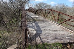 | Mueller Bridge | structure | 2007 | 07001094 |
| Whitehall | building | 1980 | 80004161 | |
 | Wilson County Courthouse and Jail | building | 1978 | 78003001 |
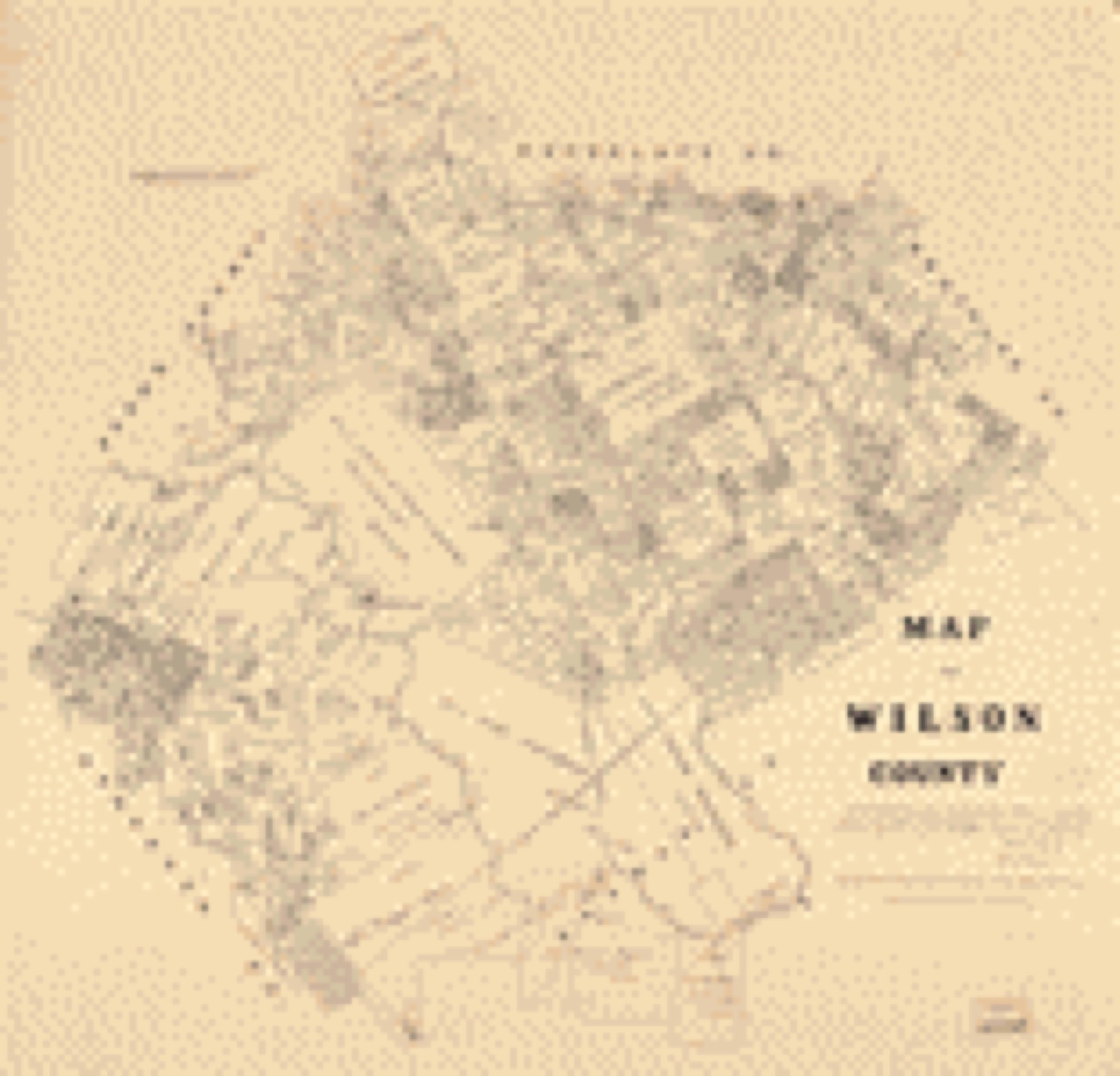
Drawn when these were printed as single large sheets: the town seen from the air, and the county divided into its farms with every owner named. Each opens the original at the Library of Congress.
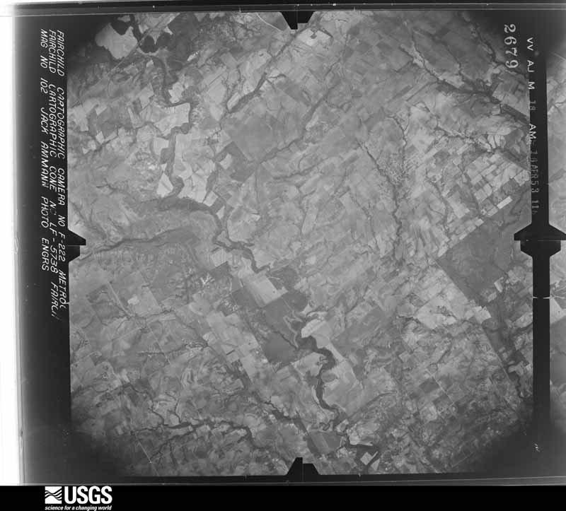
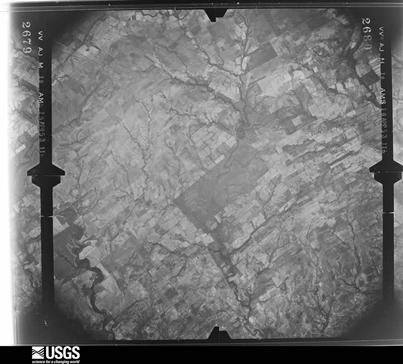
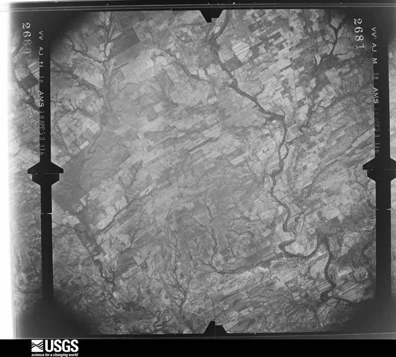
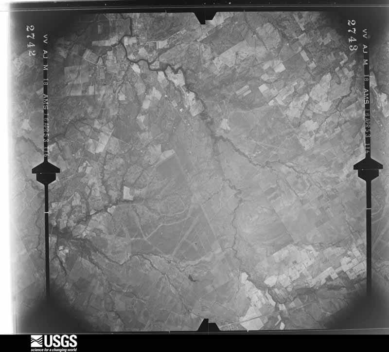
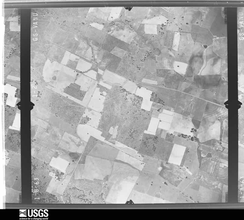
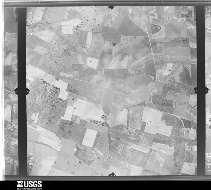
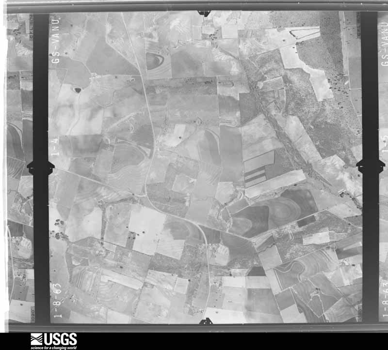
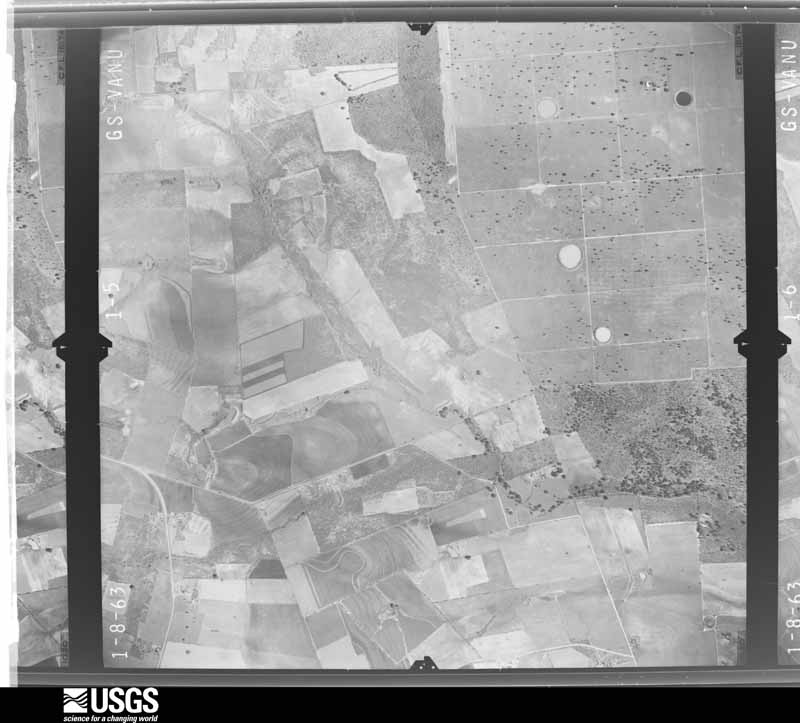
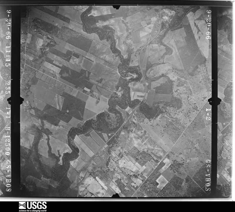
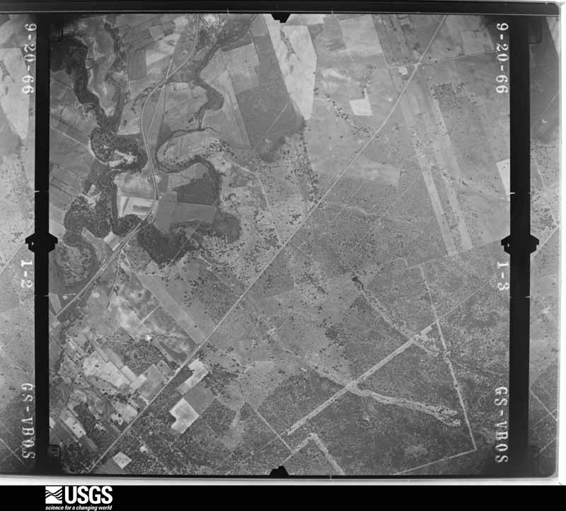
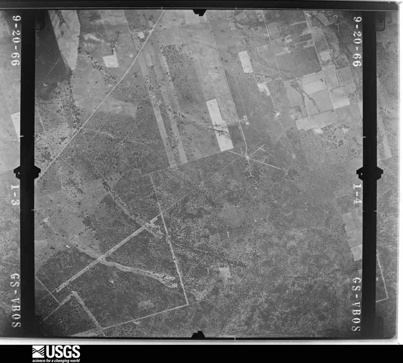
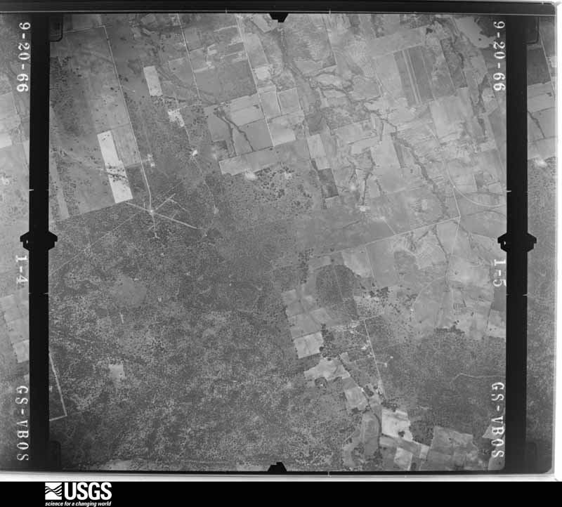
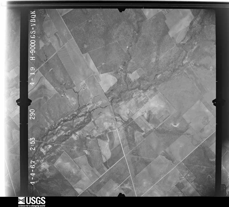
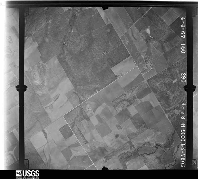
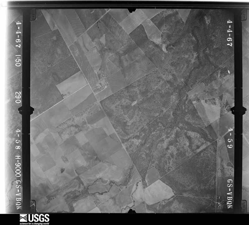
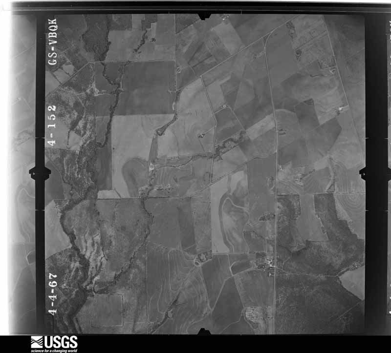
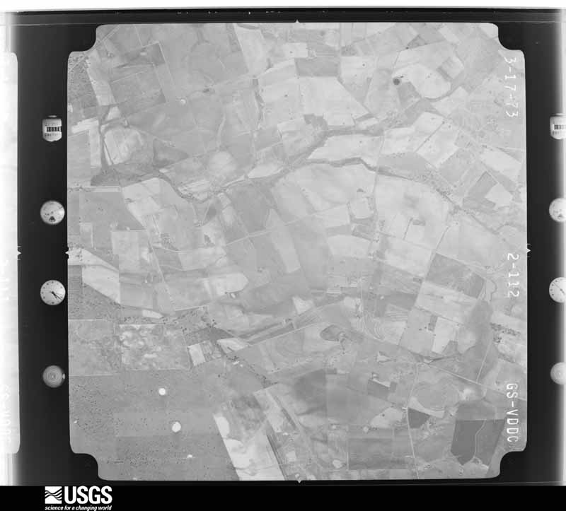
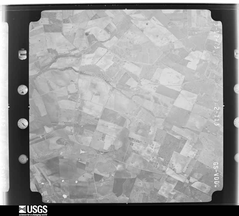
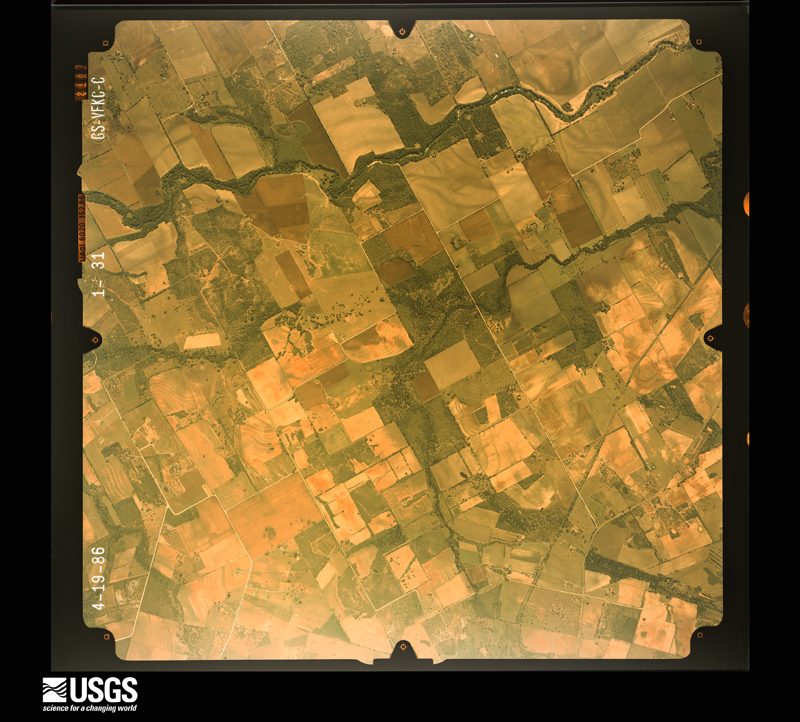
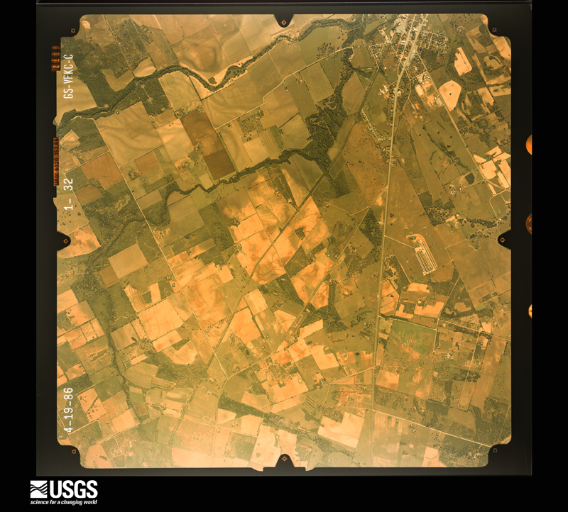
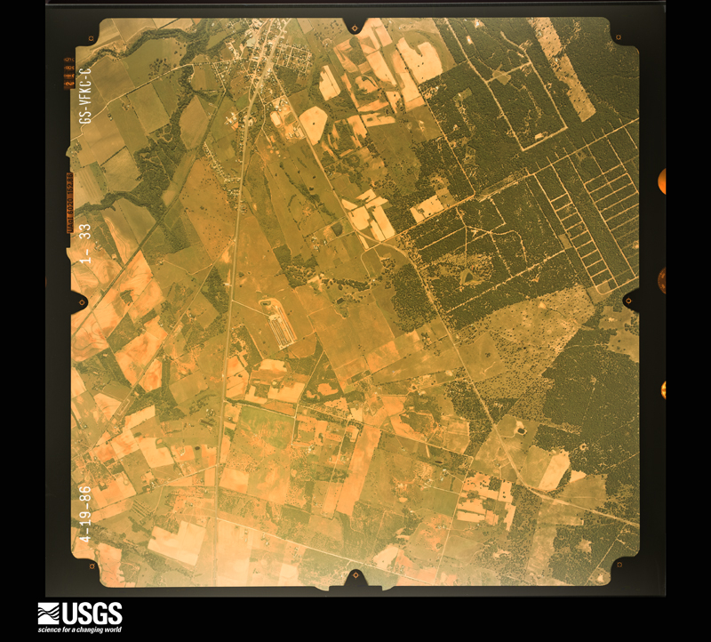
Flown by the U.S. Geological Survey between 1937 and 1989, the Aerial Photo Single Frames collection is the definitive mid-century view of the land: fields, roads and rivers as the camera saw them. The Survey holds 722 frames inside the rectangle that bounds this county; the 32 frames below were taken over the county itself, chosen across the decades of flights (at most four a year from that rectangle), so one flight cannot crowd out the rest. The full set is free to browse and download at EarthExplorer under the dataset Aerial Photo Single Frames.

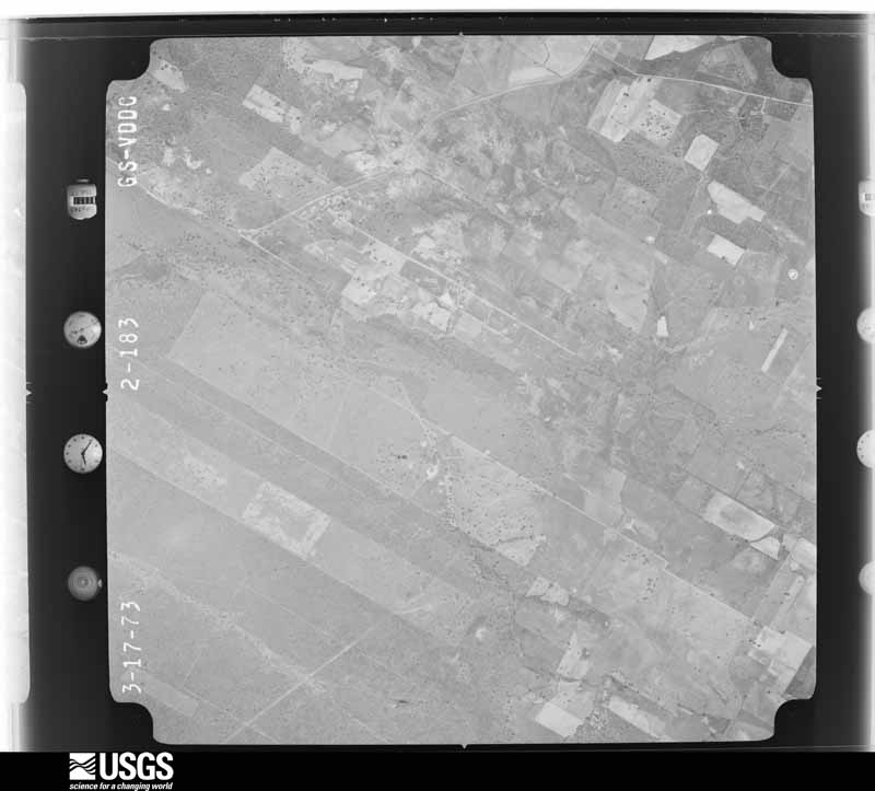
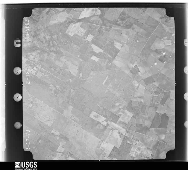


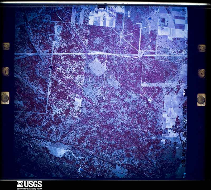
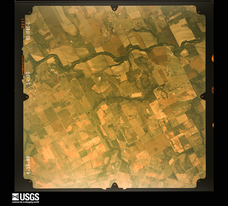




The thermometers that kept this county's weather, and the gages that measured the flow of its streams, as the federal records hold them. The extremes below are measured values from those records, not estimates.
Who lived here in 1950, one enumeration district at a time, as the Census Bureau described each district. Each row opens its official National Archives result, with Population Schedules and ED Maps available there.
Every wildfire the federal occurrence database records inside this county: 684 of them, burning about 13,107 acres. 10 started naturally and 55 were recorded as arson. Each settlement page carries the fires within five miles of it.
| Reported cause | Fires |
|---|---|
| Debris and open burning | 323 |
| Missing data/not specified/undetermined | 166 |
| Equipment and vehicle use | 84 |
| Arson/incendiarism | 55 |
| Recreation and ceremony | 13 |
| Smoking | 11 |
| Power generation/transmission/distribution | 11 |
| Misuse of fire by a minor | 11 |
| Natural | 10 |
The five largest, by the area the report gives. One of them was set deliberately.
| Date | Cause | Size | Reported by | Name on the report |
|---|---|---|---|---|
| 21 December 2007 | Missing data/not specified/undetermined | 1,000 acres | Texas A & M Forest Service | not named |
| 2 February 2008 | Debris and open burning | 700 acres | Texas A & M Forest Service | not named |
| 19 May 2006 | Missing data/not specified/undetermined | 697 acres | Texas A & M Forest Service | FAIRVIEW |
| 16 February 2006 | Arson/incendiarism | 650 acres | Texas A & M Forest Service | not named |
| 1 January 2008 | Missing data/not specified/undetermined | 400 acres | Texas A & M Forest Service | not named |
| 28 February 2009 | Power generation/transmission/distribution | 381 acres | Texas A & M Forest Service | PANDORA FIRE |
| 18 January 2006 | Debris and open burning | 350 acres | Texas A & M Forest Service | not named |
| 31 December 2007 | Missing data/not specified/undetermined | 350 acres | Texas A & M Forest Service | not named |
Every settlement page carries the fires within five miles of it - see the settlement index below.
The NOAA Storm Events Database holds 245 reports for this county, causing no deaths, 125 injuries and about $42,938,000 in recorded property damage. Each settlement page carries the reports that name it.
| Kind of event | Reports |
|---|---|
| Hail | 93 |
| Flash Flood | 70 |
| Thunderstorm Wind | 58 |
| Tornado | 19 |
| Funnel Cloud | 4 |
| Lightning | 1 |
The most serious of them, by death, then injury, then recorded damage. The accounts are quoted exactly as the forecast office filed them.
| When | Event | Place named | Harm | What the report says |
|---|---|---|---|---|
| October 1998 | Flash Flood | Countywide | 100 hurt, $35,000,000 | no account filed |
| December 2002 | Hail | Sutherland Spgs | 10 hurt, $300,000 | Widespread damage was reported to vehicles, as well as the roofs, walls and windows of buildings over the northern half of Wilson County. The hail ranged from 1 to 2 inches in diameter. The larger size fell around Stockdale, killing birds that were roosting in trees and piling up in the city streets 6 inches deep. Residents reported that the sound of the hail was almost deafening. Damage to city-owned properties in Stockdale alone was estimated at $100,000. Hail broke windows at one nursing home, with minor injuries to some residents. |
| February 1991 | Thunderstorm Wind | not stated | 8 hurt | no account filed |
| September 2002 | Flash Flood | Countywide | 5 hurt, $80,000 | General 2 to 3 inch rainfall was indicated across the county with isolated totals to 9 inches in the western part of the county. Five high water rescues were required. Considerable damage was indicated to bridges and county roads. |
| September 2001 | Flash Flood | Countywide | 2 hurt, $150,000 | no account filed |
| August 2001 | Flash Flood | Countywide | $2,000,000 | no account filed |
| October 2015 | Tornado (EF2) | Floresville | $1,500,000 | A tornado touched down near Hickory Circle about 0.5 miles south of Floresville. The tornado produced tree and minor roof damage across several city streets as it moved north. The damage increased in coverage and intensity as it approached Hwy 181. Just east of the intersection of Hwys 181 and 97, substantial roof damage was observed to a few homes as well as businesses along Hwy 181. This included several campers and recreational vehicles that were destroyed. One 5th wheel camper was thrown on top of a local hotel. One large billboard metal sign and structure was destroyed along with multiple power poles. The damage peaked at Floresville high school. A large two story classroom building on campus had the upper story wall collapse inward which appears to have caused a partial roof collapse of the building. The other side of the building had its wall blown out toward Hwy 97. Winds were estimated to be 120 mph. Other minor window damage and impact damage was observed at the school. The tornado weakened as it continued north of the high |school and west of Hwy 97, producing minor roof, shingle, and tree damage. City damage is estimated at 1.5 million dollars, this does not include insured losses and damage to the High School. |
| September 2020 | Flash Flood | Poth | $1,000,000 | Thunderstorms produced heavy rain that led to flash flooding closing CR 220 west of Poth. The Emergency Manager also reported that there was damage to the road. |
| July 2007 | Flash Flood | Floresville | $500,000 | Gen 3 to 4 inch rainfall was reported in Wilson County, with up to 6 inches north of Stockdale. US87, SH123, and FM1681 were closed, along with most roads in Stockdale area. Several homes and businesses were also flooded, with more than a dozen people rescued by emergency services after being trapped in high water in homes and vehicles. |
| August 2007 | Flash Flood | Poth | $200,000 | The area of extremely heavy rainfall associated with the remains of Tropical Storm Erin continued northwestward into Wilson County. General rain totals over the county varied from 3 to 4 inches. The highest amounts were 8 inches and stretched northwestward from Floresville to the Bexar County line. Roads across the northwest part of the county were closed due to flash flooding, including FM1303, FM536, and FM2579. |
| March 2002 | Thunderstorm Wind | Countywide | $200,000 | Severe winds, estimated at 60 to 70 knots, caused spotty damage across much of Wilson County. The worst of the damage was in the northern part of the county, where trees and tree limbs were blown down, roofs were damaged, and outbuildings were blown over. |
| May 2001 | Hail | Stockdale | $150,000 | Again, the very large hail damaged homes and vehicles and destroyed corn, hay and other crops in the area. |
| September 2016 | Lightning | Three Oaks | $100,000 | A thunderstorm produced a lightning strike that ignited a tank battery fire in Falls City near the Atascosa-Wilson County Line. Four of twelve salt water batteries were destroyed and five site personnel had to shelter-in-place (SIP) as crews battled the fire. |
| September 2010 | Thunderstorm Wind | Floresville | $100,000 | A thunderstorm produced wind gusts estimated at 50 mph which damaged the roof and a sign at a car dealership. There was also a tree knocked on a van. |
| March 2007 | Thunderstorm Wind | Stockdale | $100,000 | Severe thunderstorm winds blew down trees and knocked over power lines near Stockdale. |
| April 2004 | Thunderstorm Wind | Floresville | $100,000 | Severe thunderstorm winds broke off large tree limbs and damaged roofs in Floresville. |
| May 2004 | Flash Flood | Countywide | $100,000 | Slow-moving thunderstorms poured a general 2 in rain over Wilson county, with widespread 4 inch amounts in the south part of the county, and a maximum of 11 inches at Poth Flooding and flash flooding was widespread in the Richland Heritage Subdivision in Poth. Minor damage was indicated to dozens of homes. One woman drove her vehicle into deep water but was able to exit the vehicle with her two children and get to safety. The vehicle was found by rescue workers to be completely submerged. Most roads in southern Wilson County were closed during the late afternoon due to flash flooding, including SH181 near Poth. |
| May 2000 | Tornado (F1) | La Vernia | $80,000 | A small tornado struck a semi-rural area just southwest of the town of LaVernia. It damaged or destroyed several trees and caused damage to around a dozen homes. In a few cases, it pulled very large, old oak trees with diameters over two feet out of the ground. An NWS survey revealed that the tornado was apparently lifting up and touching down along much of its half-mile path. |
| November 2000 | Thunderstorm Wind | La Vernia | $80,000 | Severe thunderstorm winds damaged mobile homes, and blew down power lines south and southwest of LaVernia. |
| July 2000 | Thunderstorm Wind | Sutherland Spgs | $80,000 | A severe thunderstorm downburst damaged 2 buildings and blew over several trees. |
| September 2001 | Flash Flood | North Portion | $80,000 | no account filed |
| June 1996 | Thunderstorm Wind | Floresville | $80,000 | no account filed |
| July 2020 | Tornado (EF0) | Sutherland Spgs | $50,000 | An NWS damage survey concluded that a small EF0 tornado touched down just south of La Vernia during the predawn hours of Sunday July 26 at approximately 510 AM CDT. The tornado touched down along Hwy 87 north of Sutherland Springs. The tornado then moved northwest and crossed CR 307, Enck Ln., Oakview Dr., Oak Hollow Dr., Hickory Run, and Ranch Country Rd. The tornado continued northwest and crossed Blackjack Rd., Cibolo Ridge, and Pullman Rd. The tornado track ended at Pullman Road as road access farther northwest near CR 344 was not available. The majority of damage was to trees and outbuildings. Power poles and lines were also damaged in a few locations. The maximum winds associated with this tornado were estimated to be 70 mph making it an EF0 tornado. Some minor tree damage was found west of La Vernia near CR 356, CR 357 and along Hwy 87 but was determined that this damage was not caused by a tornado. |
| September 2010 | Thunderstorm Wind | Floresville | $50,000 | Thunderstorms produced wind gusts estimated at 50 mph which knocked down numerous power lines across Wilson County. |
| June 2010 | Flash Flood | Calaveras | $50,000 | Thunderstorms produced heavy rain which caused flooding and the evacuation of several homes near Calaveras. |
| August 2008 | Thunderstorm Wind | Poth | $50,000 | A barn was destroyed by a microburst with estimated winds of 80 mph. Debris from the barn was thrown hundreds of yards downwind. An adjacent house also sustained shingle damage and part of the chimney collapsed. Two trees sustained significant damage. |
| April 2007 | Thunderstorm Wind | Floresville | $50,000 | A bow-shaped echo across Comal, Bexar and Wilson Counties began producing severe winds just before midnight that were estimated generally in the 60 to 70 knot range. The storms produced widespread wind gusts of 40 to 50 knots, with spotty higher gusts near 70 knots. The damage was mainly to trees in the northern part of Wilson County. |
| May 2001 | Hail | Floresville | $50,000 | The large hail damaged houses and dented car bodies, destroyed windshields and windows. |
| November 2000 | Thunderstorm Wind | Floresville | $50,000 | Severe thunderstorm winds damage trees and homes north of Floresville. |
| October 1993 | Thunderstorm Wind | not stated | $50,000 | Power lines were reported down in several sections of the County. |
| September 2001 | Flash Flood | Countywide | $50,000 | no account filed |
| April 2015 | Flash Flood | Labatt | $30,000 | A high water rescue took place in Floresville along with multiple low water crossings closed. No injuries were reported. |
| April 2004 | Thunderstorm Wind | Stockdale | $30,000 | Severe thunderstorm winds moved a wooden barn off its foundation near US123 and FM1681 just north of Stockdale. |
| December 2002 | Hail | Floresville | $30,000 | Minor damage was reported to windows and roofs of buildings as well as vehicles in the Floresville area. |
| October 2002 | Flash Flood | North Portion | $30,000 | As an upper level low pressure area approached from the west, scattered showers and thunderstorms in Atascosa County spread quickly into Wilson County. The northeastward tracking storms dropped general 2 to 3 inch rain amounts over the northern part of Wilson County. Isolated totals of up to 5 inches were indicated. The Wilson County Sheriff's Department reported many roads closed due to flash flooding in the northern part of the county from late night into the early morning hours. |
| October 2002 | Flash Flood | Countywide | $30,000 | Showers and thunderstorms spread into Wilson County from Bexar and Atascosa in the mid-morning and continued past noon. Flash flooding developed across the county and continued until mid-afternoon. Damage was indicated to County roads and bridges. |
| February 1998 | Thunderstorm Wind | Poth | $30,000 | High winds blew down several trees in the Poth area. |
| May 2013 | Tornado (EF0) | La Vernia | $25,000 | The brief tornado affected a dozen homes and aluminum carports in the Country Garden and Woodcreek communities of La Vernia. The tornado formed in an open field near the intersection of Woodcreek Dr. and Bluff Creek Rd. in Woodcreek. It then traveled north before dissipating. Straight line winds from the same storm produced additional damage further north along Country Gardens Rd., but damage ended just short of Bluebonnet Rd. (FM 775). Maximum winds are estimated to be 70 mph. |
| April 2001 | Thunderstorm Wind | Sutherland Spgs | $25,000 | Trees were blown down by severe thunderstorm winds. |
| July 2009 | Thunderstorm Wind | Floresville | $20,000 | The utility company reported large tree limbs down on powerlines. |
| May 1995 | Thunderstorm Wind | Floresville | $20,000 | Damaging thunderstorm winds blew the roofs off eight homes in Floresville and caused widespread window damage. The roof was blown off buildings at the Boening Dairy between Floresville and Pleasanton in southwest Wilson County. Trees were also leveled by the storm. Over 10,000 acres of corn, cotton, milo, vegetables and watermelons were destroyed, mostly in the western part of the county. |
| May 1995 | Thunderstorm Wind | Poth | $20,000 | Damaging thunderstorm winds blew the roofs off eight homes in Floresville and caused widespread window damage. The roof was blown off buildings at the Boening Dairy between Floresville and Pleasanton in southwest Wilson County. Trees were also leveled by the storm. Over 10,000 acres of corn, cotton, milo, vegetables and watermelons were destroyed, mostly in the western part of the county. |
| May 2001 | Hail | Dewees | $20,000 | no account filed |
| June 1999 | Flash Flood | Countywide | $20,000 | no account filed |
| August 1998 | Flash Flood | Countywide | $20,000 | no account filed |
| January 2020 | Thunderstorm Wind | La Vernia | $15,000 | A thunderstorm produced wind gusts estimated at 75 mph that damaged four houses in La Vernia. The damage included a tipped over carport, broken fences, and roof damage. |
| April 2015 | Thunderstorm Wind | Dewees | $15,000 | Two large trees were reportedly blown down along with a power pole. A travel trailer was also blown off the road and destroyed. |
| May 2001 | Tornado (F0) | Floresville | $15,000 | A very small and short-lived tornado twisted and knocked over a large tree and destroyed a small out-building in the middle of several outbuildings, then lifted and dissipated. |
| May 2017 | Thunderstorm Wind | Labatt | $10,000 | A thunderstorm produced wind gusts estimated at 80 mph that significantly damaged the roof of a business along Hwy 181 northwest of Floresville. |
| June 2010 | Thunderstorm Wind | Floresville | $10,000 | A thunderstorm produced wind gusts estimated at 60 mph which tore the roof off of a house and damaged several Mesquite and Oak trees. |
| June 2008 | Thunderstorm Wind | Denhawken | $10,000 | The Wilson County News reported trees down and damage to a few barns and a mobile home near Denhawken. |
| July 2008 | Tornado (EF0) | Poth | $10,000 | The Wilson County sheriff reported a tornado along CR202W which twisted an oak tree, lifted a car port, and damaged some gutters outside of Poth. |
| September 2003 | Flash Flood | West Portion | $10,000 | After several days of widespread general showers, soils were generally saturated across South Central Texas. On September 5, additional rainfall developed from the southern part of Bandera County across the Bexar and Atascosa Counties and into the western part of Wilson County. Repeated showers and thunderstorms produced general rainfall around 1 inch in the western part of the county, with isolated totals of up to 4 inches. Damage was limited to roads and bridges. |
| July 2003 | Flash Flood | South Portion | $10,000 | Rainfall from Claudette produced general 1 to 2 inch rainfall during the evening over the County, with isolated to 4 inches in the south part of the county. Brief flash flooding was reported. |
| June 2000 | Flash Flood | West Portion | $10,000 | Water was reported over many low water crossings in the western part of Wilson County after storms produced rain totals of up to 4 inches. |
| May 1997 | Thunderstorm Wind | La Vernia | $5,000 | Wind damage reported to outbuildings. Several trees uprooted by the severe winds. |
| March 1993 | Hail | La Vernia | $5,000 | Golfball-size hail was reported by the public southwest of La Vernia along with minor roof damage. |
| November 2000 | Flash Flood | East Portion | $5,000 | no account filed |
| November 2000 | Flash Flood | Countywide | $5,000 | no account filed |
| November 2000 | Flash Flood | South Portion | $5,000 | no account filed |
The Survey's mineral resources record lists 10 workings inside this county. 7 still produce and 3 are closed or unrecorded. Each settlement page carries the workings within five miles of it.
| Commodity | Workings |
|---|---|
| Clay | 8 |
| Sand and Gravel, Construction | 2 |
The least common of them first, because a county's hundredth gravel pit says nothing its first ten did not.
| Where | Site | Commodity | Status | Recorded |
|---|---|---|---|---|
| Unnamed Pit | Sand and Gravel, Construction | Producer | Sand | |
| W S Dickey Clay Sand Pit | Sand and Gravel, Construction | Producer | ||
| Bruce Pit | Clay | Producer | Sedimentary | |
| Calaveras Unnamed Pit | Clay | Past Producer | Clay | |
| Niel Pits | Clay | Producer | Sedimentary | |
| Saspamco Pit | Clay | Producer | ||
| Saspamco Pits | Clay | Past Producer | Sedimentary | |
| Unnamed Pit | Clay | Past Producer | Clay | |
| W S Dickey Clay Neil Pits | Clay | Producer | ||
| W S Dickey Clay Plant | Clay | Producer |
Named settlements recorded in the Geographic Names Information System, each with the topographic sheets covering it. Villages, hamlets and abandoned places alike. Each is shown with the nearest named watercourse or landform and the survey quadrangle it falls on.
Floresville census division · 78114 · On Calaveras Creek · Saspamco quadrangle
9 sheets, 1954 to 1985
Floresville census division · 78114 · On Lodi Branch · Floresville quadrangle
10 sheets, 1936 to 1985
Floresville census division · 78121 · La Vernia SW quadrangle
10 sheets, 1954 to 1992
Floresville census division · 78101 · Near Rocky Point · La Vernia SW quadrangle
10 sheets, 1954 to 1992
La Vernia census division · 78121 · On Dry Hollow Creek · La Vernia quadrangle
9 sheets, 1954 to 1985
Stockdale census division · 78160 · On Gold Pool Branch · Alum quadrangle
12 sheets, 1920 to 1985
Poth census division · 78160 · On Wallace Branch · Stockdale quadrangle
10 sheets, 1920 to 1985
La Vernia census division · 78161 · On Gum Branch · La Vernia quadrangle
9 sheets, 1954 to 1985