 Block
BlockFrom the record
2 National Register listings published here.
Sources: the National Register database, National Park Service
24 topographic sheets cover 17 settlements here, and 2 properties are on the National Register of Historic Places.
2 National Register listings published here.
Sources: the National Register database, National Park Service
Every property in this county listed on the National Register of Historic Places, with the year it was listed and the federal nomination document.
| Photograph | Property | Type | Listed | Reference |
|---|---|---|---|---|
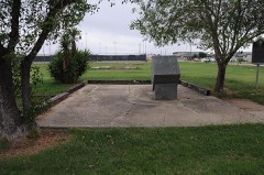 | Crystal City Internment Camp | site | 2014 | 14000474 |
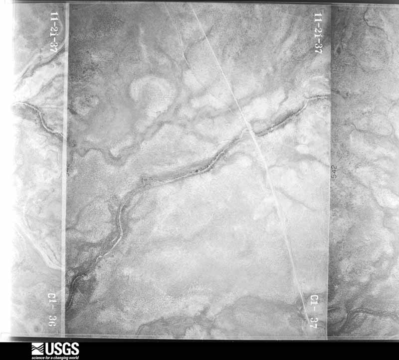
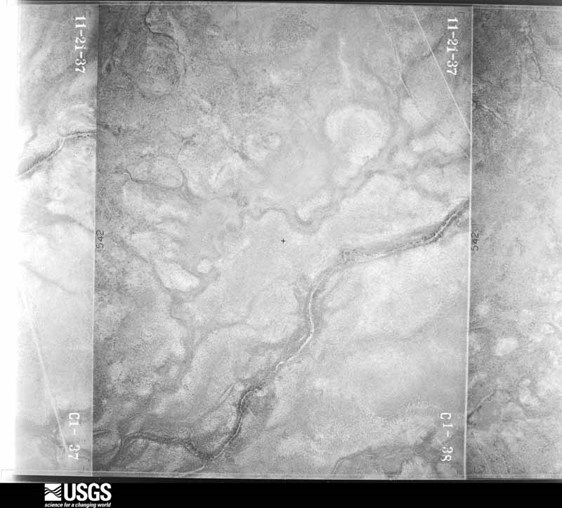
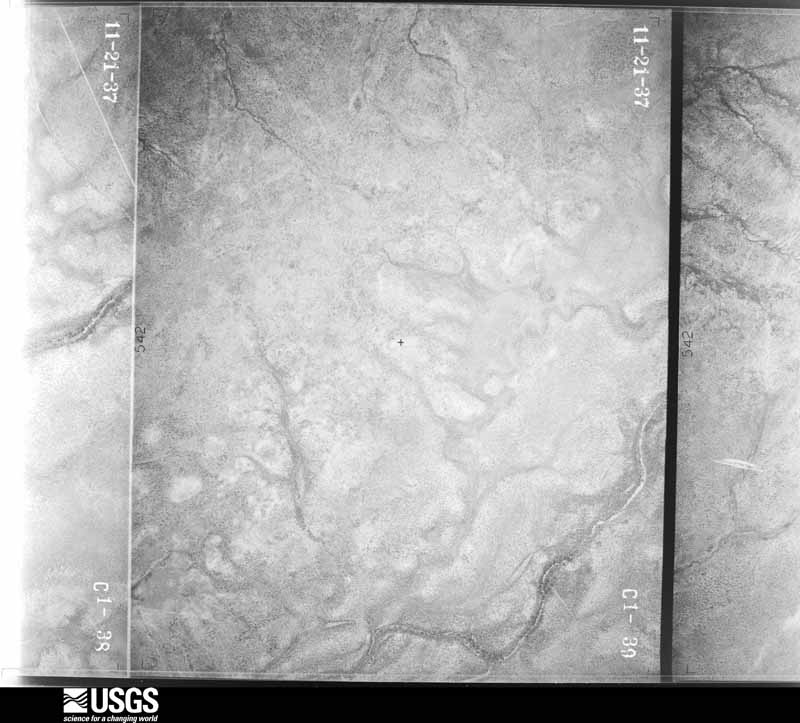
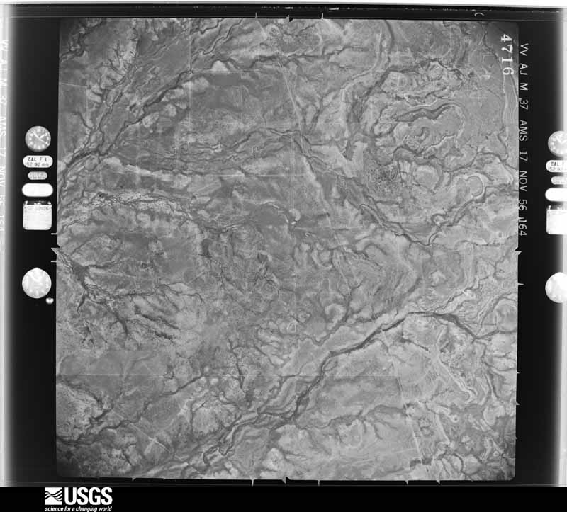
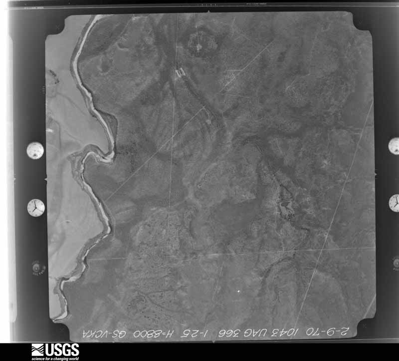
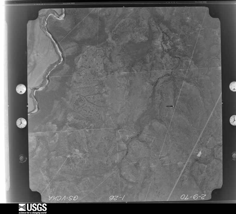
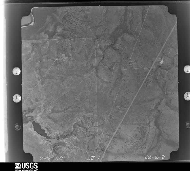
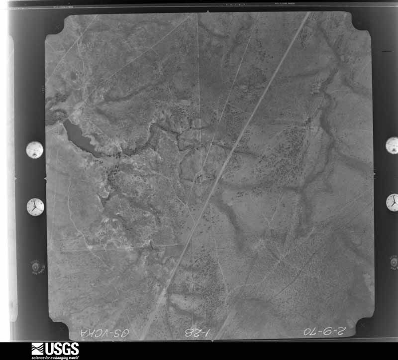
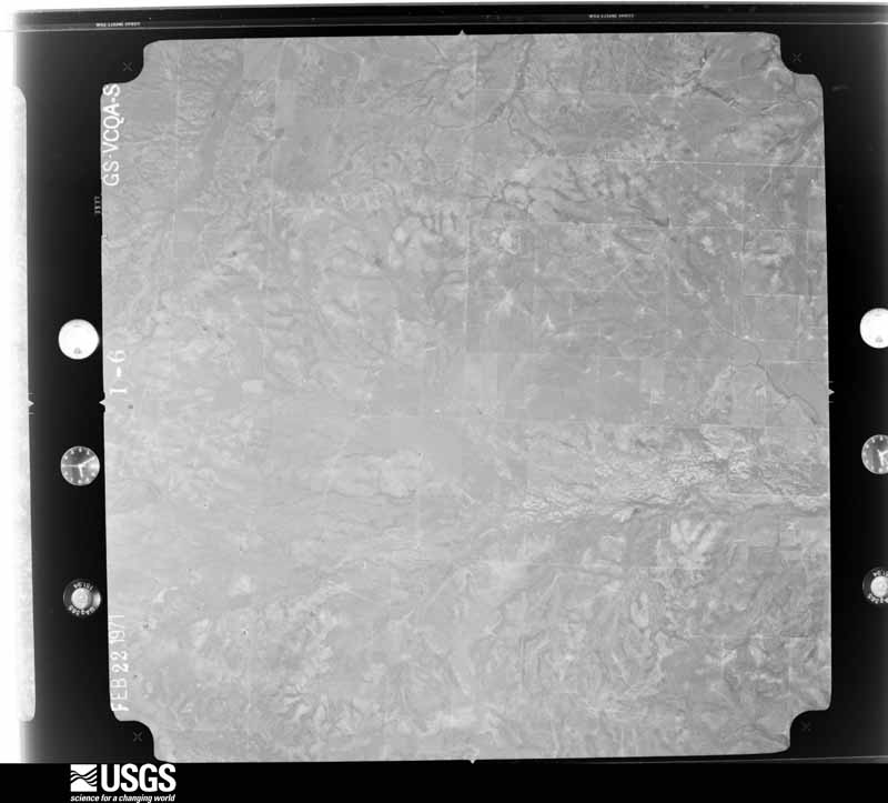
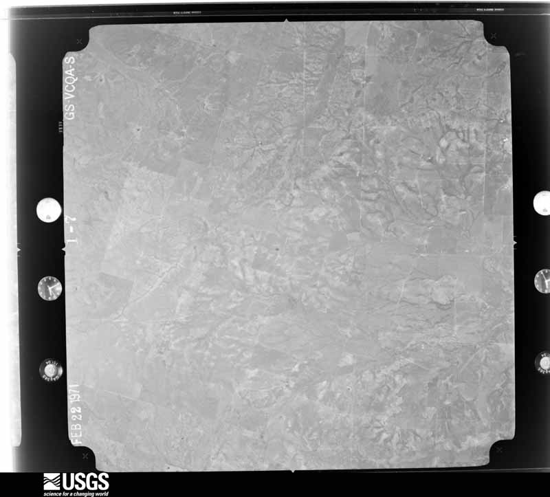
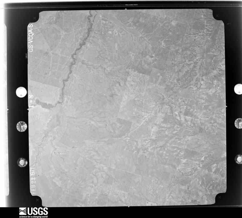
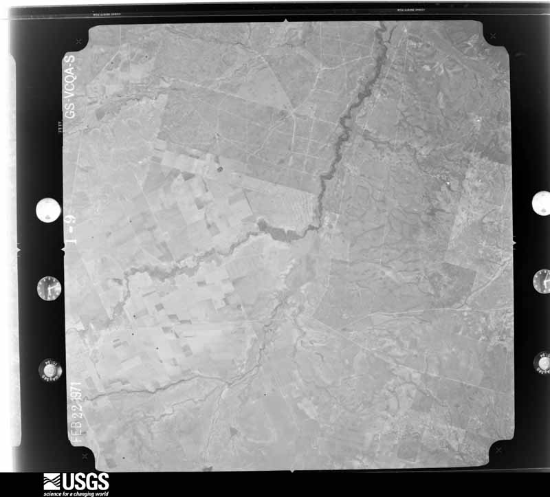
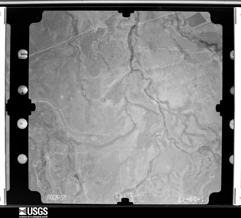
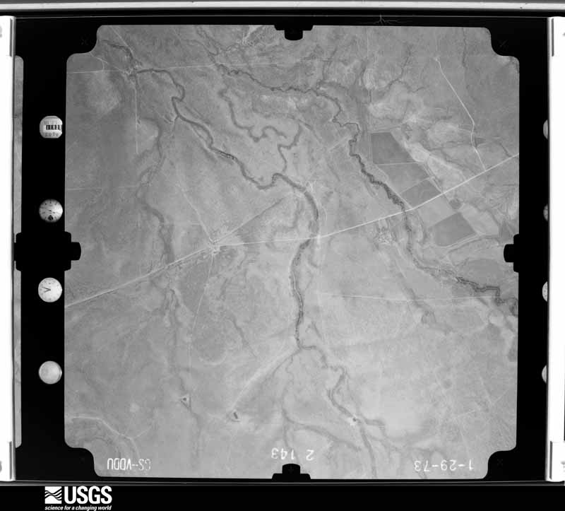
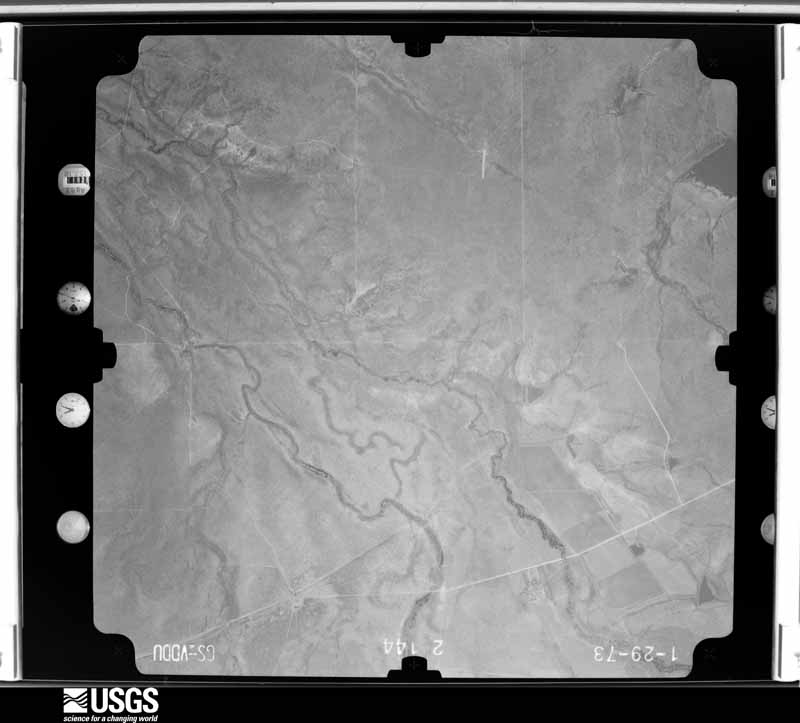
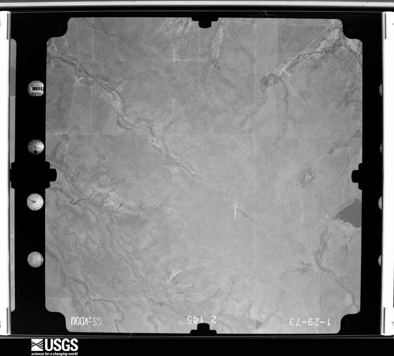
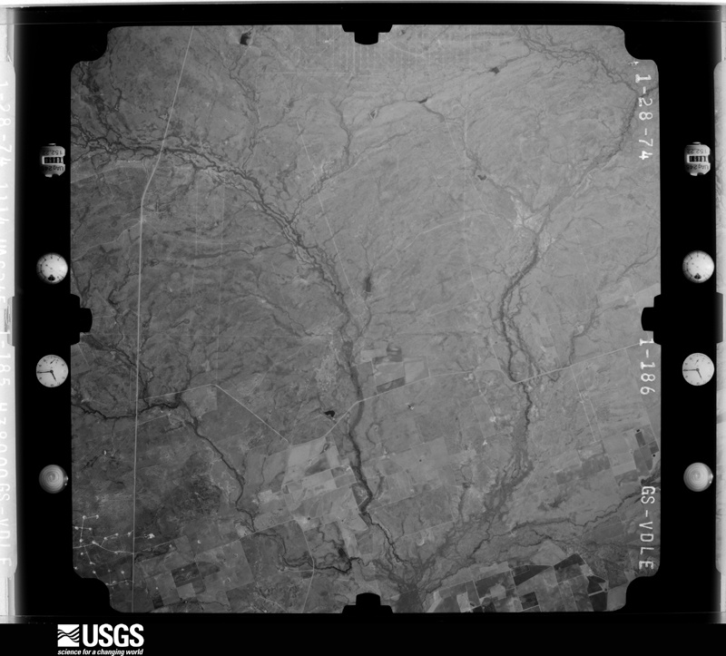
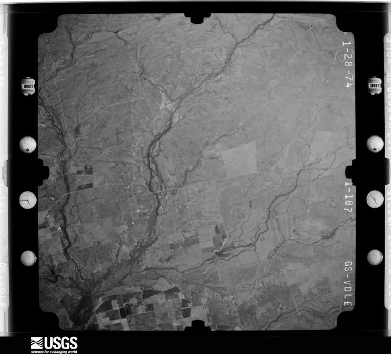
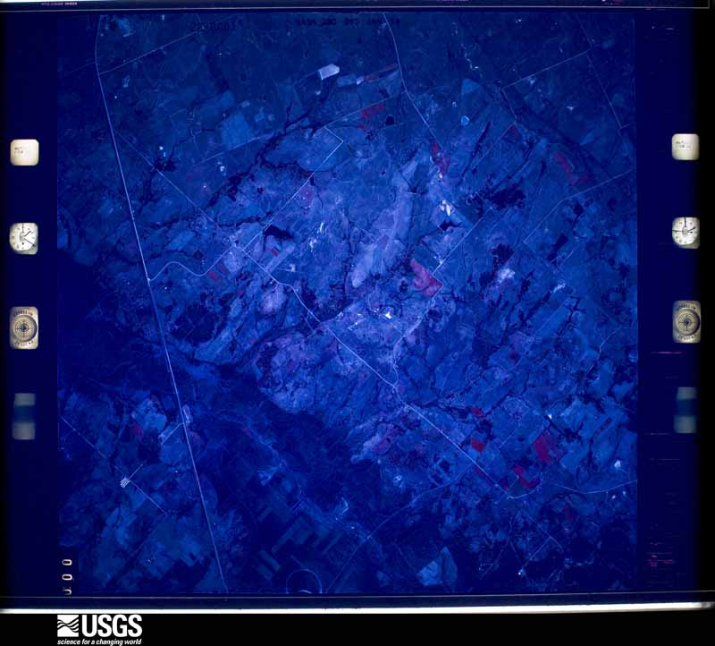
Flown by the U.S. Geological Survey between 1937 and 1989, the Aerial Photo Single Frames collection is the definitive mid-century view of the land: fields, roads and rivers as the camera saw them. The Survey holds 1,006 frames inside the rectangle that bounds this county; the 27 frames below were taken over the county itself, chosen across the decades of flights (at most four a year from that rectangle), so one flight cannot crowd out the rest. The full set is free to browse and download at EarthExplorer under the dataset Aerial Photo Single Frames.
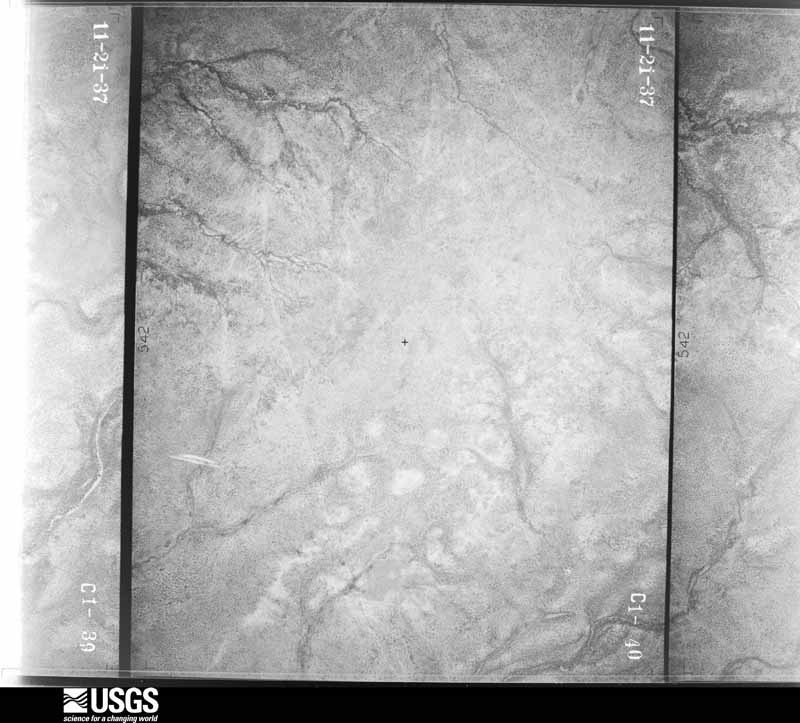
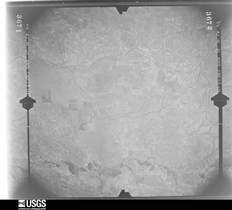
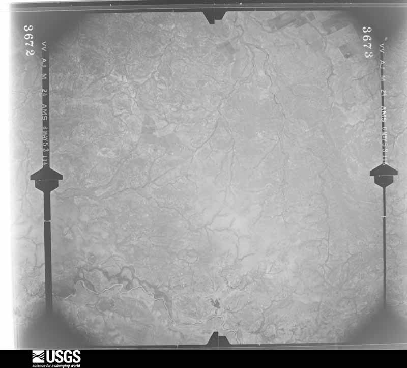
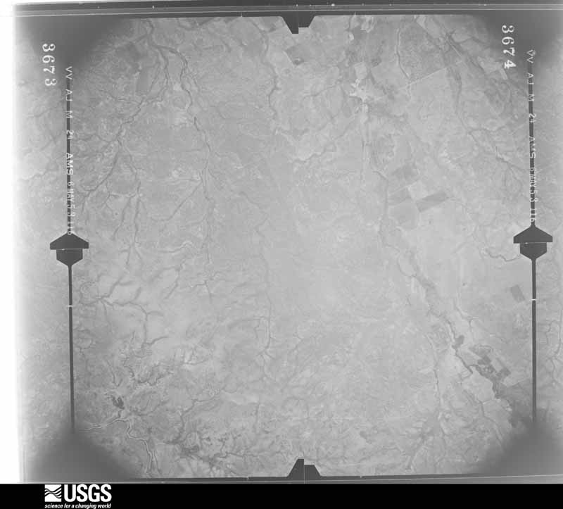
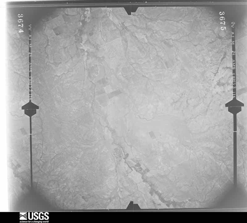
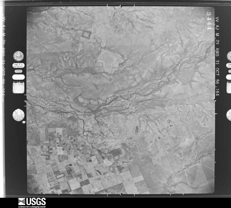
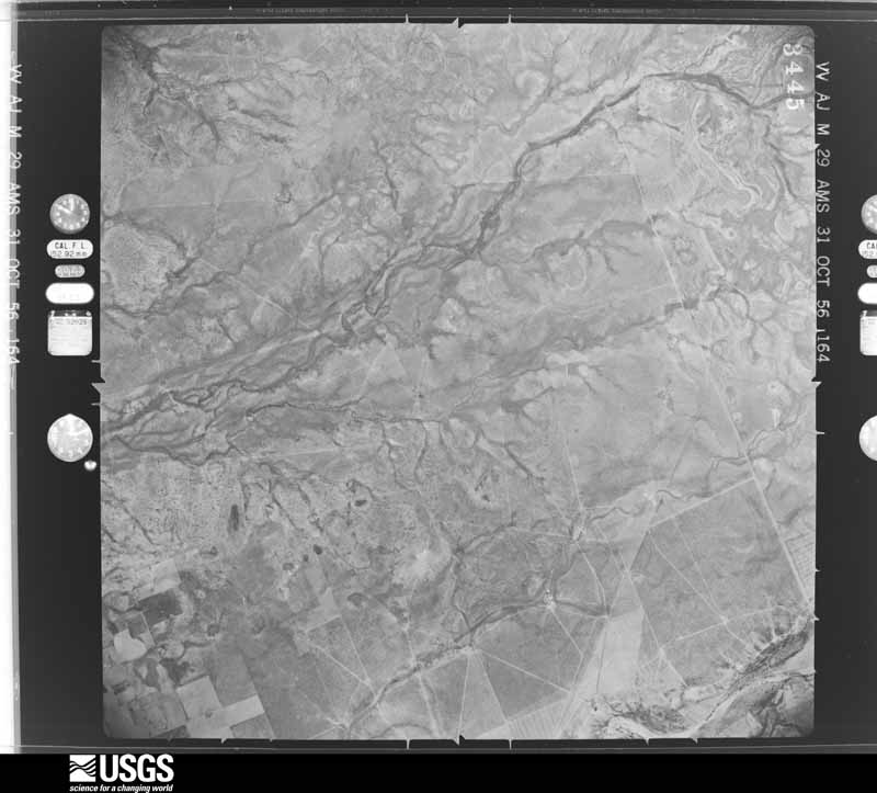
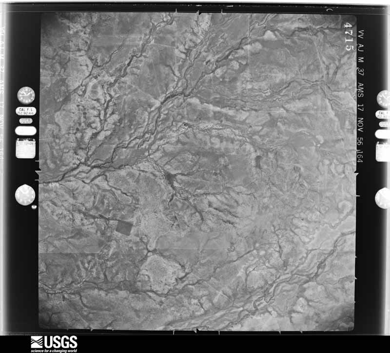
The thermometers that kept this county's weather, and the gages that measured the flow of its streams, as the federal records hold them. The extremes below are measured values from those records, not estimates.
Who lived here in 1950, one enumeration district at a time, as the Census Bureau described each district. Each row opens its official National Archives result, with Population Schedules and ED Maps available there.
Every wildfire the federal occurrence database records inside this county: 238 of them, burning about 8,271 acres. 1 started naturally and 14 were recorded as arson. Each settlement page carries the fires within five miles of it.
| Reported cause | Fires |
|---|---|
| Missing data/not specified/undetermined | 97 |
| Debris and open burning | 71 |
| Equipment and vehicle use | 22 |
| Misuse of fire by a minor | 15 |
| Arson/incendiarism | 14 |
| Power generation/transmission/distribution | 9 |
| Smoking | 8 |
| Natural | 1 |
| Recreation and ceremony | 1 |
The five largest, by the area the report gives. None of them was recorded as arson.
| Date | Cause | Size | Reported by | Name on the report |
|---|---|---|---|---|
| 12 January 2008 | Missing data/not specified/undetermined | 3,050 acres | Texas A & M Forest Service | not named |
| 15 April 2009 | Missing data/not specified/undetermined | 900 acres | Texas A & M Forest Service | SOMBRILLA FIRE |
| 1 February 2008 | Equipment and vehicle use | 675 acres | Texas A & M Forest Service | not named |
| 19 September 2019 | Equipment and vehicle use | 615 acres | Texas A & M Forest Service | FM 1025 COMPLEX |
| 19 September 2019 | Missing data/not specified/undetermined | 280 acres | Texas A & M Forest Service | TIDWELL RANCH FIRE |
| 28 July 2014 | Missing data/not specified/undetermined | 200 acres | Texas A & M Forest Service | HURD RANCH |
| 13 September 2011 | Debris and open burning | 200 acres | Texas A & M Forest Service | AVERHOFF |
| 31 January 2008 | Missing data/not specified/undetermined | 200 acres | Texas A & M Forest Service | not named |
Every settlement page carries the fires within five miles of it - see the settlement index below.
The NOAA Storm Events Database holds 166 reports for this county, causing no deaths, 8 injuries and about $6,142,500 in recorded property damage. Each settlement page carries the reports that name it.
| Kind of event | Reports |
|---|---|
| Hail | 71 |
| Flash Flood | 49 |
| Thunderstorm Wind | 35 |
| Tornado | 10 |
| Funnel Cloud | 1 |
The most serious of them, by death, then injury, then recorded damage. The accounts are quoted exactly as the forecast office filed them.
| When | Event | Place named | Harm | What the report says |
|---|---|---|---|---|
| August 1998 | Flash Flood | Countywide | 5 hurt, $5,000 | no account filed |
| April 2004 | Hail | Crystal City | 1 hurt, $500,000 | A line of strong thunderstorms had stuck Crystal City near 1240 pm CST. Although individual storms were moving toward the northeast, the line appeared to be moving to the southeast. The downburst winds were all discharged toward the southwest, as all damage around Crystal City area was blown in that direction. Damage was severe in Crystal City. Leaves had been shredded from trees and plastered onto the sides of the cars and houses, and streets were covered with the shredded leaves. Homes had damage to their outside walls, roofs, and windows. What was shocking was to see the piles of semi-melted hail still as high as 2 feet in some of the drifts created by the flooding. In spite of the fact that the hail had been melting for over 24 hours when the survey was made, it was still piled in spotty waves across the city from east to west and north to south. Hail was reported to have been as large as 1.5 to 2 inches in diameter, with a couple of reports of hail to 3 inches. The high winds, combined with hail and rain, caused widespread damage to homes, destroying two mobile homes and the roofs of two houses. Several dozen homes in Crystal City sustained some type of damage. Some of the worst damage occurred at the library and the H.E.B. grocery store. The metal roof was blown off the library and deposited on the southwest side of the building. The roof of the H.E.B. grocery store collapsed. It appeared to be beneath the area where the air conditioners were positioned on the west side of the store. This is also where the rain and ice would have accumulated the thickest and would possibly have clogged drainage holes. One injury was reported in the storms. |
| June 1999 | Flash Flood | Crystal City | 1 hurt, $40,000 | no account filed |
| March 1964 | Tornado (F1) | not stated | 1 hurt, $25,000 | no account filed |
| March 1993 | Hail | Batesville | $5,000,000 | The sheriff's office reported golfball-size hail in the Batesville area. Over 200 homes and a school had windows broken out. |
| June 1998 | Thunderstorm Wind | La Pryor | $60,000 | Wind damage was reported to the roofs of numerous buildings in LaPryor. |
| June 2003 | Thunderstorm Wind | Crystal City | $50,000 | Severe thunderstorm winds blew down trees and power poles near Crystal City. |
| April 2002 | Thunderstorm Wind | La Pryor | $50,000 | Severe thunderstorm winds knocked over trees, and blew down tree limbs in and around the LaPryor area. |
| March 2002 | Thunderstorm Wind | Batesville | $50,000 | Trees were blown down and windows were broken in the northeast part of Zavala County from Batesville to the Uvalde and Frio County lines. |
| September 2000 | Thunderstorm Wind | La Pryor | $50,000 | Severe thunderstorm winds blew the roof off a school, and also knocked down several trees. |
| October 2002 | Flash Flood | Countywide | $30,000 | Thunderstorms moved into Zavala County from Maverick County near 3 am CST and continued into the mid morning. Average rainfall was between 1 and 2 inches, with isolated totals of up to 4 inches in the eastern part of the County. Flash flooding began just before sunrise and ended just before noon. Minor damage was reported to area roads and bridges. |
| May 2001 | Thunderstorm Wind | La Pryor | $30,000 | Severe thunderstorm winds blow over power lines near La Pryor. |
| September 2000 | Thunderstorm Wind | Batesville | $30,000 | Severe thunderstorm winds blew down numerous utility poles. |
| March 1999 | Hail | La Pryor | $30,000 | Hail broke windows in the town of LaPryor. |
| October 2002 | Flash Flood | Northeast Portion | $20,000 | Scattered showers and thunderstorms redeveloping in the mid morning from LaPryor to Batesville to the Frio County line produced general rainfall of 2 to 4 inches with isolated totals in the Batesville area of 7 inches. The rain continued from mid morning until just before noon. |
| May 2000 | Thunderstorm Wind | Batesville | $20,000 | Severe thunderstorm winds blew down power lines and caused minor property damage just east of Batesville. |
| May 1995 | Thunderstorm Wind | Crystal City | $20,000 | Damage was reported to roofs, with numerous trees uprooted. |
| May 2023 | Hail | Crystal City Muni Ar | $10,000 | A thunderstorm produced ping pong ball size hail on Hwy 83 near Las Colonias. Some vehicles were dented. |
| March 2003 | Thunderstorm Wind | Crystal City | $10,000 | An NWS survey noted that several trees had been knocked down and large limbs were torn out of trees in a very spotty manner from the southwest corner of the county into the town of Crystal City. |
| October 2003 | Flash Flood | Countywide | $10,000 | The showers and thunderstorms began producing heavy rain in Zavala County in the late evening period, with general totals between 1 and 2 inches across the county. Isolated amounts of up to 5 inches were reported in the southeast corner of the county. Flash flooding began just before midnight CST and continued into the early morning hours. |
| September 2000 | Thunderstorm Wind | Crystal City | $10,000 | Severe winds from a thunderstorm caused a pavillion to collapse in Crystal City. |
| August 1998 | Flash Flood | Countywide | $10,000 | no account filed |
| August 1996 | Thunderstorm Wind | Sabinal | $10,000 | no account filed |
| August 1996 | Flash Flood | Crystal City | $10,000 | no account filed |
| May 2023 | Hail | Crystal City | $5,000 | A thunderstorm produced hail up to baseball size in Crystal City. The hail destroyed vehicle windshields and windows. |
| April 2015 | Tornado (EF0) | Winter Haven | $5,000 | A thunderstorm produced a tornado that moved through an open area near the Dimmit/Zavala County line. An irrigation pivot was overturned on a ranch along with some minor outbuilding damage. No other damage was found. The path and time were determined from radar. Max winds are estimated to be 80 mph. |
| July 2011 | Thunderstorm Wind | La Pryor | $5,000 | The Zavala County Emergency Manager reported wind damage to several trees and mobile homes on the east side of La Pryor. |
| March 2004 | Flash Flood | East Portion | $5,000 | Showers and thunderstorms formed along a cold front moving southeastward across the western part of South Central Texas. The storms slowed as they crossed eastern Zavala County, producing up to 3 inches of rain in some locations. Brief flash flooding was reported over the east part of the county. |
| July 2003 | Flash Flood | Countywide | $5,000 | The showers and thunderstorms from Uvalde and Frio Counties continued spreading westward, moving into Zavala County in the mid morning. By late morning, Zavala had received a general rainfall of 1 to 2 inches with isolated totals to 6 inches across the northwest corner. Flash flooding developed by late morning and continued into the late afternoon. |
| May 1994 | Hail | Eagle Pass | $5,000 | The worst damage was done east and south of Crystal City, where a combination of wind and hail damaged trees and destroyed gardens. Roofs, windowns and vehicle windshields were ruined. Many trees were also reported to have been uprooted. |
| May 1994 | Hail | La Pryor | $5,000 | The worst damage was done east and south of Crystal City, where a combination of wind and hail damaged trees and destroyed gardens. Roofs, windowns and vehicle windshields were ruined. Many trees were also reported to have been uprooted. |
| May 1994 | Thunderstorm Wind | Countywide | $5,000 | The worst damage was done east and south of Crystal City, where a combination of wind and hail damaged trees and destroyed gardens. Roofs, windowns and vehicle windshields were ruined. Many trees were also reported to have been uprooted. |
| September 1998 | Flash Flood | South Portion | $5,000 | no account filed |
| March 1998 | Flash Flood | Countywide | $3,000 | General 2 inch rainfall with isolated totals near 4 inches caused flash flooding over much of Zavala County. |
| March 1998 | Thunderstorm Wind | Crystal City | $3,000 | Trees were blown down by severe thunderstorm winds. |
| June 1999 | Flash Flood | West Portion | $3,000 | no account filed |
| October 1976 | Tornado (F1) | not stated | $2,500 | no account filed |
| May 1972 | Tornado (F1) | not stated | $2,500 | no account filed |
| October 1956 | Tornado (F2) | not stated | $2,500 | no account filed |
| May 2015 | Thunderstorm Wind | Batesville | $1,000 | A tree was reported down blocking Ramos Street in the city of Batesville. |
| February 2026 | Hail | La Pryor | - | A thunderstorm produced quarter size hail in La Pryor. There were pictures of the hail on social media. |
| May 2024 | Hail | Batesville | - | A thunderstorm produced quarter size hail north of Batesville. |
| May 2024 | Hail | Batesville | - | A thunderstorm produced hail larger than baseballs north of Batesville. The Emergency Manager sent a picture of the hailstones. |
| April 2023 | Hail | Loma Vista | - | A thunderstorm produced quarter size hail in Loma Vista. |
| May 2023 | Hail | Crystal City Muni Ar | - | A thunderstorm produced golf ball size hail in Crystal City. |
| May 2023 | Hail | Cometa | - | A thunderstorm produced hail up to tennis ball size hail near the Flying T O Ranch Airport in western Zavala County. |
| May 2022 | Hail | La Pryor | - | A thunderstorm produced hail slightly bigger than a quarter in La Pryor. |
| May 2022 | Hail | Crystal City | - | A thunderstorm produced dime to quarter size hail in Crystal City. |
| April 2019 | Thunderstorm Wind | La Pryor | - | A thunderstorm produced wind gusts estimated at 70 mph that knocked down several trees and tree limbs in La Pryor. |
| May 2019 | Hail | La Pryor | - | A thunderstorm produced one inch hail in La Pryor. |
| September 2017 | Flash Flood | Batesville | - | Thunderstorms produced heavy rain that led to flash flooding closing several roads in northern Zavala County including FM 117 and FM 140. |
| September 2017 | Flash Flood | Batesville | - | Thunderstorms produced heavy rain that led to flash flooding closing CR 1866 at the Leona River southeast of Batesville. |
| April 2016 | Thunderstorm Wind | Del Monte | - | A thunderstorm produced wind gusts estimated at 70 mph that blew down several power poles on Hwy 83. |
| April 2016 | Thunderstorm Wind | Del Monte | - | A thunderstorm produced wind gusts estimated at 60 mph that damaged several outbuildings. |
| August 2016 | Flash Flood | La Pryor | - | Thunderstorms produced heavy rain that caused flash flooding closing Hwy 83 between La Pryor and Crystal City. |
| March 2016 | Hail | Cometa | - | A thunderstorm produced golf ball size hail at the J4 Farm. |
| August 2016 | Flash Flood | La Pryor | - | Thunderstorms produced heavy rain that caused flash flooding closing Hwy 83 just south of La Pryor and Hwy 57 near Batesville. |
| May 2015 | Flash Flood | Crystal City | - | West Lake Street in Crystal City was reportedly completely flooded. |
| May 2015 | Flash Flood | Del Monte | - | Highway 83 in Crystal City was closed for an hour due to high water over the highway. |
| May 2015 | Flash Flood | La Pryor | - | Many roads in the city of La Pryor, including Highway 83 and 57 were closed due to water over the road. |
The Survey's mineral resources record lists 2 workings inside this county. All of them still produce. Each settlement page carries the workings within five miles of it.
| Commodity | Workings |
|---|---|
| Sulfur | 1 |
| Stone, Crushed/Broken | 1 |
The least common of them first, because a county's hundredth gravel pit says nothing its first ten did not.
| Where | Site | Commodity | Status | Recorded |
|---|---|---|---|---|
| Tilden Sulfur Plant | Sulfur | Producer | ||
| West Ranch Pit | Stone, Crushed/Broken | Producer |
Named settlements recorded in the Geographic Names Information System, each with the topographic sheets covering it. Villages, hamlets and abandoned places alike. Each is shown with the nearest named watercourse or landform and the survey quadrangle it falls on.
Crystal City census division · 78839 · Crystal City quadrangle
10 sheets, 1939 to 1985
Batesville census division · 78829 · On Gallina Creek · Batesville quadrangle
8 sheets, 1953 to 1985
Crystal City census division · 78839 · Crystal City quadrangle
10 sheets, 1939 to 1985
Crystal City census division · 78839 · Crystal City quadrangle
10 sheets, 1939 to 1985
Crystal City census division · 78839 · Crystal City quadrangle
10 sheets, 1939 to 1985
Crystal City census division · 78839 · On Espantosa Slough · Crystal City quadrangle
10 sheets, 1939 to 1985
Crystal City census division · 78839 · On Alligator Slough · Crystal City quadrangle
10 sheets, 1939 to 1985
Crystal City census division · 78839 · Crystal City quadrangle
10 sheets, 1939 to 1985
Crystal City census division · 78829 · On Loma Vista Hill · Loma Vista quadrangle
8 sheets, 1953 to 1985
Batesville census division · 78839 · On Cambalache Creek · La Pryor SE quadrangle
9 sheets, 1939 to 1985
Crystal City census division · 78839 · On Espantosa Slough · Crystal City quadrangle
10 sheets, 1939 to 1985
Crystal City census division · 78839 · On Espantosa Slough · Crystal City quadrangle
10 sheets, 1939 to 1985
Crystal City census division · 78839 · Crystal City quadrangle
10 sheets, 1939 to 1985