 Block
BlockBobwyn, Texas
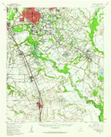
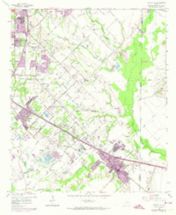
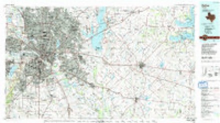
19 topographic sheets cover this place, the earliest surveyed in 1891 and the latest in 1986. It stands in the Northeast Dallas census division. It lies in ZIP code area 75253. The Survey maps it on the Seagoville quadrangle.
Topographic sheets covering this place
7 surveys from 19 printed sheetsMatched by testing this settlement's coordinate against the published boundary of every sheet in the United States Geological Survey's historical collection. Each opens the scanned sheet at the Survey.
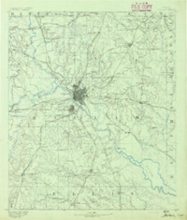
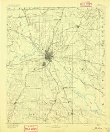
- 1891 USGS Dallas quadrangle1:125000
- 1893 USGS Dallas quadrangle1:125000, 5 printings
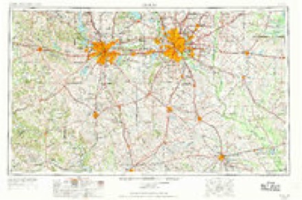
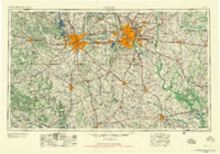
- 1954 USGS Dallas quadrangle1:250000, 4 printings
- 1958 USGS Dallas quadrangle1:250000
- 1959 USGS Seagoville quadrangle1:62500
- 1959 USGS Seagoville quadrangle1:24000, 4 printings
- 1986 USGS Dallas quadrangle1:100000, 3 printings
Fires near this place
95 since 2006Regional context, not property-specific evidence. The federal wildfire occurrence database lists 95 fires within 5 miles of Bobwyn between 2006 and 2018, burning about 211 acres in total. None started naturally. 3 were recorded as arson. Distance is straight-line from the map coordinates, so a fire counted here may appear on a neighbouring settlement's page as well.
| Reported cause | Fires |
|---|---|
| Missing data/not specified/undetermined | 73 |
| Equipment and vehicle use | 9 |
| Debris and open burning | 3 |
| Arson/incendiarism | 3 |
| Smoking | 3 |
| Recreation and ceremony | 2 |
| Misuse of fire by a minor | 1 |
| Power generation/transmission/distribution | 1 |
The most recent of them, most recent first, with the day each was reported and the service that recorded it.
| Date | Cause | Size | Reported by | Name on the report |
|---|---|---|---|---|
| 7 September 2016 | Missing data/not specified/undetermined | under an acre | Texas A & M Forest Service | 2100 ECHO LAKE |
| 3 September 2015 | Equipment and vehicle use | under an acre | Texas A & M Forest Service | DOWDY |
| 29 September 2016 | Missing data/not specified/undetermined | under an acre | Texas A & M Forest Service | ROYCE DR |
| 29 September 2015 | Missing data/not specified/undetermined | under an acre | Texas A & M Forest Service | LASATER |
| 26 September 2015 | Missing data/not specified/undetermined | under an acre | Texas A & M Forest Service | S PRAIRIE CREEK |
| 26 September 2015 | Missing data/not specified/undetermined | under an acre | Texas A & M Forest Service | MARKS |
| 24 September 2015 | Missing data/not specified/undetermined | under an acre | Texas A & M Forest Service | LOTTIE |
| 22 September 2015 | Missing data/not specified/undetermined | under an acre | Texas A & M Forest Service | KLEBERG |
Settlements close enough to share some of these fires:
Mines and quarries near this place
10 of 24 shownRegional context, not property-specific evidence. The federal mineral resources record lists 24 workings within 5 miles of Bobwyn: 18 producers, 5 past producers, 1 prospect. 18 still produce. What was taken out: Sand and Gravel, Construction. Distance is straight-line from the map coordinates, so a quarry counted here may appear on a neighbouring settlement's page as well.
| Where | Site | Commodity | Status | Recorded |
|---|---|---|---|---|
| A B B Sand and Gravel Operation | Sand and Gravel, Construction | Past Producer | ||
| Abandoned | Sand and Gravel, Construction | Past Producer | ||
| Beckett Road Pit No. 530 | Sand and Gravel, Construction | Producer | ||
| Bluebird Pit & Plant No. 5 | Sand and Gravel, Construction | Producer | ||
| Bob Meals Co Inc Lone Star Pit | Sand and Gravel, Construction | Producer | ||
| Bob Meals Pit & Plant | Sand and Gravel, Construction | Producer | ||
| Dowdy Ferry Pit | Sand and Gravel, Construction | Producer | ||
| Fred Wray Sand and Gravel Operaion | Sand and Gravel, Construction | Past Producer | ||
| Gifford Hill Simonds Rd Pit | Sand and Gravel, Construction | Past Producer | ||
| Hilco Pit | Sand and Gravel, Construction | Producer |
Storms near this place
6 since 2010Regional context, not property-specific evidence. The National Weather Service names Bobwyn in 6 storm reports between 2010 and 2022: 3 thunderstorm wind, 2 flood, 1 flash flood. No death or injury is recorded in these reports. Each account below is quoted exactly as the forecast office filed it, from the NOAA Storm Events Database, and each date opens the federal record of that event.
| When | Event | Place named | Harm | What the report says |
|---|---|---|---|---|
| August 2022 | Flash Flood | Bobwyn | $100,000 | A storm chaser reported many roads flooded and cars stalled northwest of Seagoville. |
| June 2019 | Thunderstorm Wind | Bobwyn | $100,000 | A team from the Dallas/Fort Worth National Weather Service Forecast Office surveyed wind damage in Seagoville, Texas that occurred at approximately 635 pm CDT on the evening of June 1st. The team determined that the damage was due to severe thunderstorm downburst winds ranging from 65 to 80 mph. A storm spotter also |reported a measured windspeed of 80 mph from a home weather station in Seagoville during this event.||The field of wind damage was approximately 2 miles long and 2.25 miles wide, and encompassed most of the City of Seagoville, on either side of U.S. Highway 175. Snapped (and in a few cases, uprooted) tree trunks and large branches comprised the vast majority of the damage. Many trees and branches were toppled onto |homes, vehicles, storage buildings and fencing, resulting in considerable residential property damage. No injuries are known to have occurred at this time. ||Most of the trees and branches were knocked down in a quasi-unidirectional southeasterly direction, consistent with straight line winds, and with the northwest to southeast motion of the storm. However, it should be noted that a few trees/branches on the far western and northeastern edges of the downburst damage field exhibited fall orientations consistent with rotation. This may be due to the presence of very small-scale vortices that developed on the flanks of the main downburst feature as it moved |through Seagoville. The CASA radar in Mesquite observed a pronounced downburst velocity signature forming just N of Seagoville at 6:30 pm, which subsequently moved south southeastward across the city. |
| August 2012 | Flood | Bobwyn | $100,000 | Areal flooding continued for several hours after scattered to numerous thunderstorms producing heavy rainfall produced flash flooding in the cities of Dallas and Irving. Up to 3.5 of rain had fallen over the city; resulting in the flooding of several streets and creeks. During the evening hours, part of the roof at the Urban Inter-Tribal Center of Texas in the Oak Cliff area collapsed under the weight of the heavy rain that had fallen earlier. As the roof collapsed, the windows in the front blew out. |
| May 2010 | Thunderstorm Wind | Bobwyn | $50,000 | Power poles were bent over and 10 grain houses suffered damage in the city of Seagoville. Tree damage was also reported around the city. |
| April 2020 | Thunderstorm Wind | Bobwyn | - | A 65 mph wind gust was measured with a handheld anemometer. |
| March 2012 | Flood | Bobwyn | - | Many roads throughout the county remained impassable after the heavy rain ended. Residential and access roads were impacted the most. |
Nearest settlements
The eight closest, with where each one stands in the county. Distances are straight-line, computed from the Geographic Names Information System coordinates.
| Map | Place | Distance | Sheets |
|---|---|---|---|
| Kleberg | 1.5 miles | 19 | |
| Rylie | 3.3 miles | 21 | |
| Seagoville | 3.4 miles | 19 | |
| Lawson | 3.8 miles | 19 | |
| Balch Springs | 5.3 miles | 19 | |
| Patrick | 5.8 miles | 18 | |
| Hutchins | 6.0 miles | 21 | |
| Wilmer | 6.4 miles | 18 |
Elsewhere
Matched on this settlement's Geographic Names Information System number rather than its name, so it cannot be a different place of the same name in another state.
| Wikidata item Q122570350 | The structured record the population and elevation above come from. Public domain (CC0). |
Provenance
This settlement is recorded in the Geographic Names Information System as feature 1378026. The sheet list is computed by point-in-boundary test against the United States Geological Survey's historical topographic inventory. Both are works of the United States government and carry no copyright under 17 U.S.C. 105.
Wildfire. Short, Karen C. 2022. Spatial wildfire occurrence data for the United States, 1992-2020 [FPA_FOD_20221014]. 6th Edition. Fort Collins, CO: Forest Service Research Data Archive. https://doi.org/10.2737/RDS-2013-0009.6 Collected with United States Government funding and usable without additional permissions or fees.
Mines and quarries. USGS Mineral Resources Data System (MRDS) https://mrdata.usgs.gov/mrds/ A work of the United States government, no copyright under 17 U.S.C. 105.
Storms. NOAA National Centers for Environmental Information, Storm Events Database https://www.ncei.noaa.gov/stormevents/ A work of the United States government, no copyright under 17 U.S.C. 105. Narratives are quoted verbatim from the National Weather Service report and are not edited or summarised.