 Block
BlockBouchard, Texas
24 topographic sheets cover this place, the earliest surveyed in 1891 and the latest in 1986. It stands in the Northeast Dallas census division. It lies in ZIP code area 75243. It stands on Floyd Branch. The Survey maps it on the Addison quadrangle.
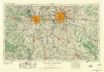
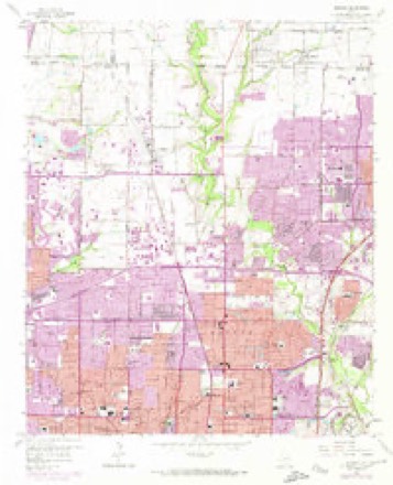
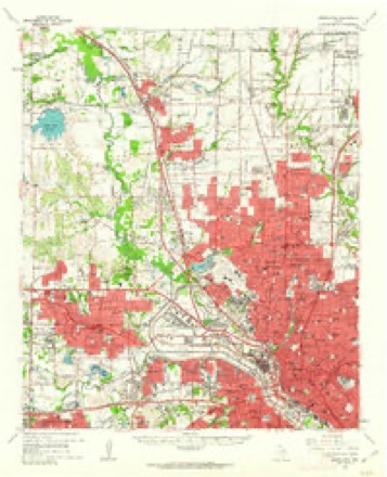
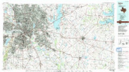
Topographic sheets covering this place
8 surveys from 24 printed sheetsMatched by testing this settlement's coordinate against the published boundary of every sheet in the United States Geological Survey's historical collection. Each opens the scanned sheet at the Survey.
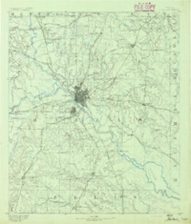
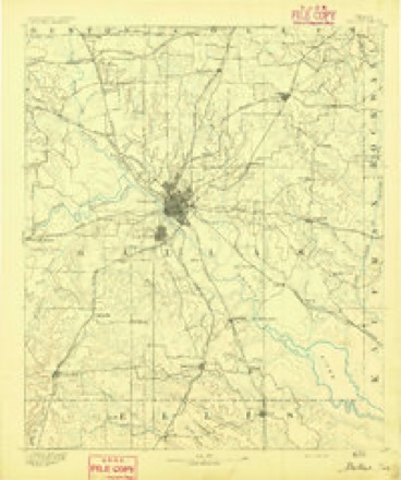
- 1891 USGS Dallas quadrangle1:125000
- 1893 USGS Dallas quadrangle1:125000, 5 printings
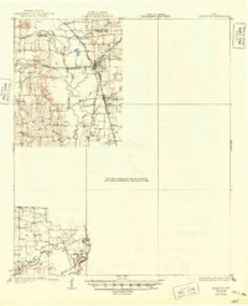
- 1931 USGS Carrollton quadrangle1:62500, 3 printings
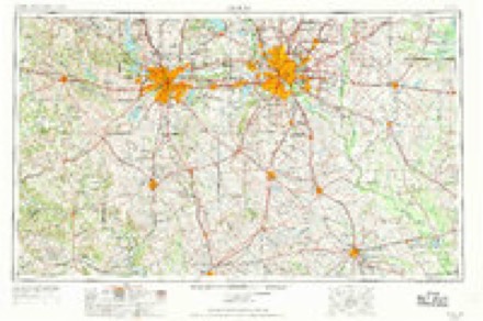
- 1954 USGS Dallas quadrangle1:250000, 4 printings
- 1958 USGS Dallas quadrangle1:250000
- 1959 USGS Addison quadrangle1:24000, 6 printings
- 1959 USGS Carrollton quadrangle1:62500
- 1986 USGS Dallas quadrangle1:100000, 3 printings
Fires near this place
130 since 2001Regional context, not property-specific evidence. The federal wildfire occurrence database lists 130 fires within 5 miles of Bouchard between 2001 and 2017, burning about 285 acres in total. 1 started naturally. 1 was recorded as arson. Distance is straight-line from the map coordinates, so a fire counted here may appear on a neighbouring settlement's page as well.
| Reported cause | Fires |
|---|---|
| Missing data/not specified/undetermined | 103 |
| Equipment and vehicle use | 15 |
| Power generation/transmission/distribution | 5 |
| Smoking | 2 |
| Natural | 1 |
| Arson/incendiarism | 1 |
| Debris and open burning | 1 |
| Recreation and ceremony | 1 |
| Railroad operations and maintenance | 1 |
The most recent of them, most recent first, with the day each was reported and the service that recorded it.
| Date | Cause | Size | Reported by | Name on the report |
|---|---|---|---|---|
| 9 September 2015 | Natural | under an acre | Texas A & M Forest Service | THICKET |
| 8 September 2015 | Missing data/not specified/undetermined | under an acre | Texas A & M Forest Service | SCOUT |
| 6 September 2015 | Equipment and vehicle use | under an acre | Texas A & M Forest Service | BROOK |
| 5 September 2015 | Missing data/not specified/undetermined | under an acre | Texas A & M Forest Service | WATERCHASE |
| 3 September 2015 | Equipment and vehicle use | under an acre | Texas A & M Forest Service | MONTFORD |
| 28 September 2015 | Missing data/not specified/undetermined | under an acre | Texas A & M Forest Service | N CENTRAL EXPWY |
| 27 September 2015 | Missing data/not specified/undetermined | 12 acres | Texas A & M Forest Service | EMERALD |
| 23 September 2015 | Missing data/not specified/undetermined | under an acre | Texas A & M Forest Service | WATERVIEW |
Settlements close enough to share some of these fires:
Storms near this place
20 since 2009Regional context, not property-specific evidence. The National Weather Service names Bouchard in 20 storm reports between 2009 and 2026: 12 hail, 6 flash flood, 1 tornado, 1 thunderstorm wind. No death or injury is recorded in these reports. Each account below is quoted exactly as the forecast office filed it, from the NOAA Storm Events Database, and each date opens the federal record of that event.
| When | Event | Place named | Harm | What the report says |
|---|---|---|---|---|
| June 2012 | Hail | Bouchard | $900,000 | Tennis ball sized hail was reported near Highway 75 and Forest Lane. |
| June 2009 | Flash Flood | Bouchard | $200,000 | Flooding was observed in North Dallas. The flooding was the result of training cells over Dallas County. The emergency manager also reported that by 7:30 am, Dallas Fire and Rescue had conducted 48 water rescues around the city and the police had worked 200 traffic accidents due to weather. |
| June 2012 | Hail | Bouchard | $120,000 | Ping pong ball sized hail was reported at Highway 75 and Forest Lane. |
| May 2024 | Flash Flood | Bouchard | $50,000 | Broadcast media reported 15 water rescues across North Dallas, including one requiring a boat near 7600 Greenville Ave. |
| June 2024 | Flash Flood | Bouchard | $50,000 | Multiple roads closed across Dallas due to flooding, including Northwest Highway and Hillcrest where numerous cars stalled in floodwaters at that intersection. |
| May 2021 | Tornado (EF1) | Bouchard | $50,000 | The same supercell that produced a tornado in University Park produced another tornado just north of Royal Ln and east of Michaels Drive. The first signs of damage appeared on Lavendale Circle with a few uprooted small trees and down tree branches. The tornado continued moving to the northeast, strengthening to an EF-1 with 90 mph winds. The primary area of more substantial damage occurred just west and north of the North Haven Gardens. A single-family home on Northhaven Rd sustained the worst damage, with a partial roof collapse. Northeast of the worst affected residence, occasional roof/shingle damage and downed tree branches were found. Maximum estimated winds were 90 mph. |
| June 2012 | Hail | Bouchard | $50,000 | Quarter sized hail was reported on Coit Road and Banner Dr. |
| May 2024 | Flash Flood | Bouchard | $20,000 | Multiple roadways were flooded, including Interstate 635 in North Dallas, and several were closed due to flooding. |
| June 2024 | Flash Flood | Bouchard | $10,000 | Several city roads across north Dallas were closed due to flooding. |
| September 2022 | Thunderstorm Wind | Bouchard | $10,000 | Broadcast media reported damage to an apartment building near the intersection of Royal Lane and Abrams Road in Dallas. Thunderstorm wind gusts knocked bricks from walls. |
| June 2012 | Hail | Bouchard | $10,000 | Quarter sized hail was reported at Highway 75 and Forest Lane. |
| September 2011 | Hail | Bouchard | $10,000 | Golfball-sized hail fell at the intersection of Interstate 635 and Royal Lane. |
| April 2026 | Hail | Bouchard | - | Report of 1 inch hail from mPING. |
| February 2026 | Flash Flood | Bouchard | - | According Fire and Rescue, two men were rescued from the flooded Cottonwood Creek Trail along Cottonwood Creek, near the intersection of Forest Lane and Schroeder Road. |
| May 2024 | Hail | Bouchard | - | Reported via mPing. |
| September 2023 | Hail | Bouchard | - | Reported via mPing. |
| June 2019 | Hail | Bouchard | - | A social media report indicated quarter size hail in the community of Lake Highlands, in northeastern Dallas, TX. |
| September 2011 | Hail | Bouchard | - | Half dollar-sized hail fell at the intersection of Interstate 635 and Royal Lane. |
| April 2021 | Hail | Bouchard | - | no account filed |
| April 2021 | Hail | Bouchard | - | no account filed |
Nearest settlements
The eight closest, with where each one stands in the county. Distances are straight-line, computed from the Geographic Names Information System coordinates.
| Map | Place | Distance | Sheets |
|---|---|---|---|
| Gifford | 0.7 miles | 24 | |
| Audelia | 2.2 miles | 20 | |
| Buckingham | 2.7 miles | 20 | |
| Meaders | 3.1 miles | 24 | |
| Richardson | 3.2 miles | 20 | |
| Bethard | 3.6 miles | 20 | |
| Inwood | 3.7 miles | 24 | |
| University Park | 4.5 miles | 26 |
Provenance
This settlement is recorded in the Geographic Names Information System as feature 1378038. The sheet list is computed by point-in-boundary test against the United States Geological Survey's historical topographic inventory. Both are works of the United States government and carry no copyright under 17 U.S.C. 105.
Wildfire. Short, Karen C. 2022. Spatial wildfire occurrence data for the United States, 1992-2020 [FPA_FOD_20221014]. 6th Edition. Fort Collins, CO: Forest Service Research Data Archive. https://doi.org/10.2737/RDS-2013-0009.6 Collected with United States Government funding and usable without additional permissions or fees.
Storms. NOAA National Centers for Environmental Information, Storm Events Database https://www.ncei.noaa.gov/stormevents/ A work of the United States government, no copyright under 17 U.S.C. 105. Narratives are quoted verbatim from the National Weather Service report and are not edited or summarised.