 Block
BlockChihuahua, Texas
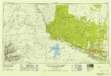
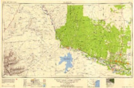
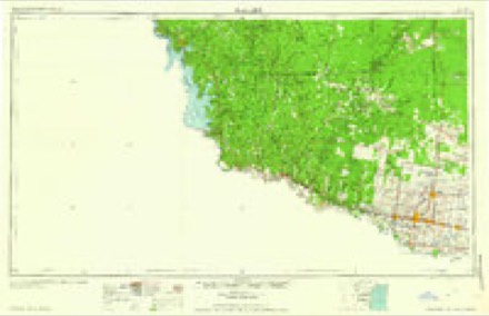
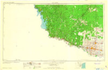
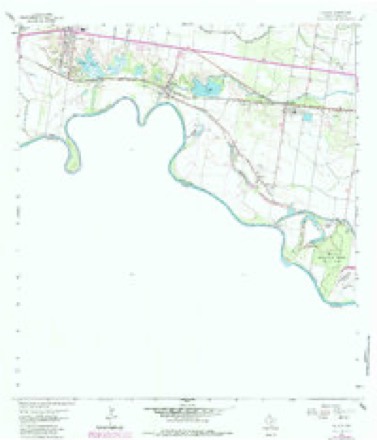
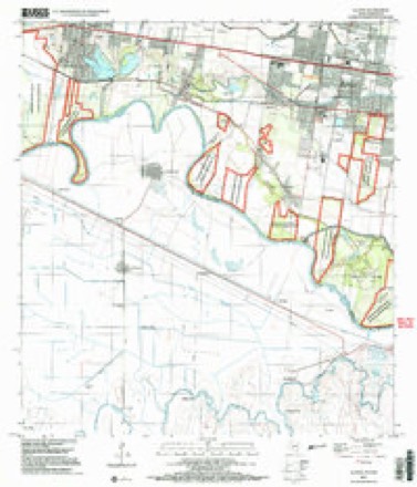
10 topographic sheets cover this place, the earliest surveyed in 1949 and the latest in 2002. It stands in the Sullivan City census division. It lies in ZIP code area 78572. The Survey maps it on the La Joya quadrangle.
Topographic sheets covering this place
8 surveys from 10 printed sheetsMatched by testing this settlement's coordinate against the published boundary of every sheet in the United States Geological Survey's historical collection. Each opens the scanned sheet at the Survey.
- 1949 USGS Mc Allen quadrangle1:250000
- 1954 USGS McAllen quadrangle1:250000
- 1957 USGS Mc Allen quadrangle1:250000, 2 printings
- 1962 USGS McAllen quadrangle1:250000
- 1963 USGS La Joya quadrangle1:24000, 2 printings
- 1983 USGS Mc Allen quadrangle1:250000
- 1992 USGS Mc Allen quadrangle1:100000
- 2002 USGS La Joya quadrangle1:24000
Fires near this place
473 since 1993Regional context, not property-specific evidence. The federal wildfire occurrence database lists 473 fires within 5 miles of Chihuahua between 1993 and 2020, burning about 2,576 acres in total. 2 started naturally. 95 were recorded as arson. Distance is straight-line from the map coordinates, so a fire counted here may appear on a neighbouring settlement's page as well.
| Reported cause | Fires |
|---|---|
| Missing data/not specified/undetermined | 178 |
| Debris and open burning | 175 |
| Arson/incendiarism | 95 |
| Equipment and vehicle use | 12 |
| Smoking | 3 |
| Railroad operations and maintenance | 3 |
| Natural | 2 |
| Misuse of fire by a minor | 2 |
| Other causes | 1 |
| Recreation and ceremony | 1 |
| Power generation/transmission/distribution | 1 |
The most recent of them, most recent first, with the day each was reported and the service that recorded it.
| Date | Cause | Size | Reported by | Name on the report |
|---|---|---|---|---|
| 8 September 2009 | Missing data/not specified/undetermined | 1.0 acres | South Texas Refuge Complex | LUNCH |
| 7 September 2005 | Debris and open burning | under an acre | South Texas Refuge Complex | BENTSEN PILE |
| 6 September 2009 | Missing data/not specified/undetermined | under an acre | Lower Rio Grande Valley National Wildlife Refuge | DOVE |
| 30 September 2010 | Missing data/not specified/undetermined | 5.5 acres | Lower Rio Grande Valley National Wildlife Refuge | ABRAM LEVEE |
| 30 September 2010 | Missing data/not specified/undetermined | under an acre | South Texas Refuge Complex | 1427 |
| 28 September 2010 | Debris and open burning | under an acre | South Texas Refuge Complex | LA HOMA RD |
| 28 September 2005 | Debris and open burning | under an acre | South Texas Refuge Complex | DOFFING |
| 2 September 2000 | Arson/incendiarism | 125 acres | Lower Rio Grande Valley National Wildlife Refuge | PALMVIEW |
Settlements close enough to share some of these fires:
Mines and quarries near this place
10 of 12 shownRegional context, not property-specific evidence. The federal mineral resources record lists 12 workings within 5 miles of Chihuahua: 12 producers. All of them still produce. What was taken out: Stone, Crushed/Broken, Sand and Gravel, Construction, Stone, Crushed/Broken, Sand and Gravel, Construction. Distance is straight-line from the map coordinates, so a quarry counted here may appear on a neighbouring settlement's page as well.
| Where | Site | Commodity | Status | Recorded |
|---|---|---|---|---|
| Beck Pit & Plant | Stone, Crushed/Broken, Sand and Gravel, Construction | Producer | ||
| Crow Pit & Plant | Sand and Gravel, Construction | Producer | ||
| Garcia Pit | Sand and Gravel, Construction | Producer | ||
| No. 1 Pit & Plant | Sand and Gravel, Construction | Producer | ||
| Beck Quarry | Stone, Crushed/Broken | Producer | Caliche | |
| Bell Pit | Stone, Crushed/Broken | Producer | ||
| Frost Pit | Stone, Crushed/Broken | Producer | ||
| Hawkins Pit | Stone, Crushed/Broken | Producer | ||
| J-2 Pit | Stone, Crushed/Broken | Producer | ||
| J-2 Quarry | Stone, Crushed/Broken | Producer | Caliche |
Storms near this place
5 since 2009Regional context, not property-specific evidence. The National Weather Service names Chihuahua in 5 storm reports between 2009 and 2023: 3 hail, 2 thunderstorm wind. No death or injury is recorded in these reports. Each account below is quoted exactly as the forecast office filed it, from the NOAA Storm Events Database, and each date opens the federal record of that event.
| When | Event | Place named | Harm | What the report says |
|---|---|---|---|---|
| May 2016 | Thunderstorm Wind | Chihuahua | $10,000,000 | Initial damage to tree limbs and some poorly built roofs in the Mission/Palmview area would intensify by the time the downburst reached the Madero and Granjeno communities, where more than 100 homes sustained varying levels of damage, dozens of power poles were felled, and hundreds of softwood trees were uprooted. Specific damage and associated impacts included the following: At least 150 homes and businesses sustained notable damage, and several dozen required significant repair. This included varied damage to nearly every building (RV, trailer, and fixed structure) in the Chimney Park RV and Mobile Home Park along the Rio Grande, as well as the adjacent neighborhood of Madero. The State Farm Arena lost a large part of its cladding (side wall) and up to 40% of its roof shingles and underneath decking allowing rainwater to leak into the facility. A several thousand foot community center in the town of Granejo was destroyed as free-standing reinforced cinderblock walls crumbled, and the wind destroyed ductwork/HVAC and an entire side wall on its way out of the building. A tractor trailer weighing 79,000 pounds, including freight, was moved and then tipped on its side in the community of Madero. Hundreds of softwood trees were uprooted and thousands of tree limbs were snapped, these included ash, mesquite, ebony, and palm. Dozens of wooden power poles were snapped, with more than 20,000 customers without power. |
| May 2014 | Thunderstorm Wind | Chihuahua | $1,000 | Local law enforcement reported signs blown down on Interstate 2 in Palmview. |
| April 2023 | Hail | Chihuahua | - | Several members of the public reported ping pong ball (1.5) sized hail in and around the Palmview area. |
| April 2012 | Hail | Chihuahua | - | Reports of quarter to golf ball size hail were reported over a swath of heavily populated urban Mission and McAllen. |
| June 2009 | Hail | Chihuahua | - | Channel 12 (McAllen Cable Access Television) reported quarter size and perhaps larger hail fell during a thunderstorm in the city of Mission during the evening. Nickel size hail was reported a bit earlier by a resident 1 mile north of Palmview, as well as several large limbs being knocked down. The mini supercell raced south southeast, likely producing additional hail southeast of Mission. Most reports were received between 927 and 930 PM CDT. |
Nearest settlements
The eight closest, with where each one stands in the county. Distances are straight-line, computed from the Geographic Names Information System coordinates.
| Map | Place | Distance | Sheets |
|---|---|---|---|
| Carlos Acres Colonia | 0.2 miles | 10 | |
| Chihuahua Colonia | 0.3 miles | 10 | |
| Mata Colonia Number 2 | 0.5 miles | 10 | |
| Riverside Estates Colonia | 0.7 miles | 10 | |
| Perezville | 0.7 miles | 10 | |
| Tierra Maria Colonia | 0.9 miles | 10 | |
| Silverado Colonia | 0.9 miles | 10 | |
| Loma Linda Heights Colonia | 1.0 miles | 10 |
Elsewhere
Matched on this settlement's Geographic Names Information System number rather than its name, so it cannot be a different place of the same name in another state.
| Wikidata item Q122570370 | The structured record the population and elevation above come from. Public domain (CC0). |
Provenance
This settlement is recorded in the Geographic Names Information System as feature 1332737. The sheet list is computed by point-in-boundary test against the United States Geological Survey's historical topographic inventory. Both are works of the United States government and carry no copyright under 17 U.S.C. 105.
Wildfire. Short, Karen C. 2022. Spatial wildfire occurrence data for the United States, 1992-2020 [FPA_FOD_20221014]. 6th Edition. Fort Collins, CO: Forest Service Research Data Archive. https://doi.org/10.2737/RDS-2013-0009.6 Collected with United States Government funding and usable without additional permissions or fees.
Mines and quarries. USGS Mineral Resources Data System (MRDS) https://mrdata.usgs.gov/mrds/ A work of the United States government, no copyright under 17 U.S.C. 105.
Storms. NOAA National Centers for Environmental Information, Storm Events Database https://www.ncei.noaa.gov/stormevents/ A work of the United States government, no copyright under 17 U.S.C. 105. Narratives are quoted verbatim from the National Weather Service report and are not edited or summarised.